 |
| Jesus Church with the slopes of Yoke just visible above the trees |
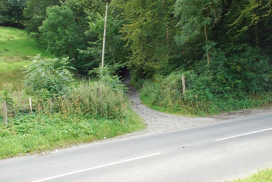 |
| A couple of hundred yards south of the church a stony bridleway on the left is the start of the Garburn Road |
 |
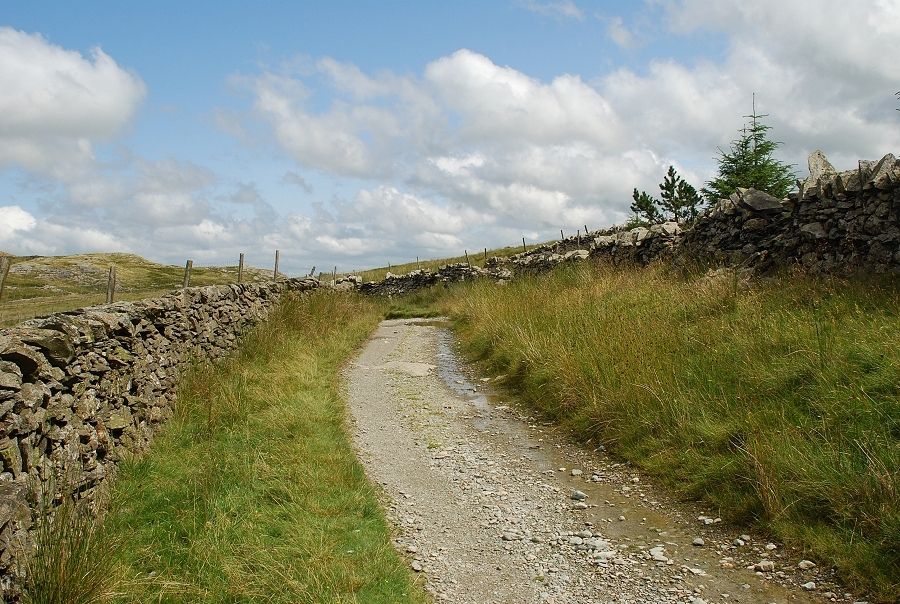
| The bridleway climbs for a few hundred yards between high stone walls and is shrouded by trees which restrict the views before it emerges onto more open slopes overlooking Troutbeck Park |
 |
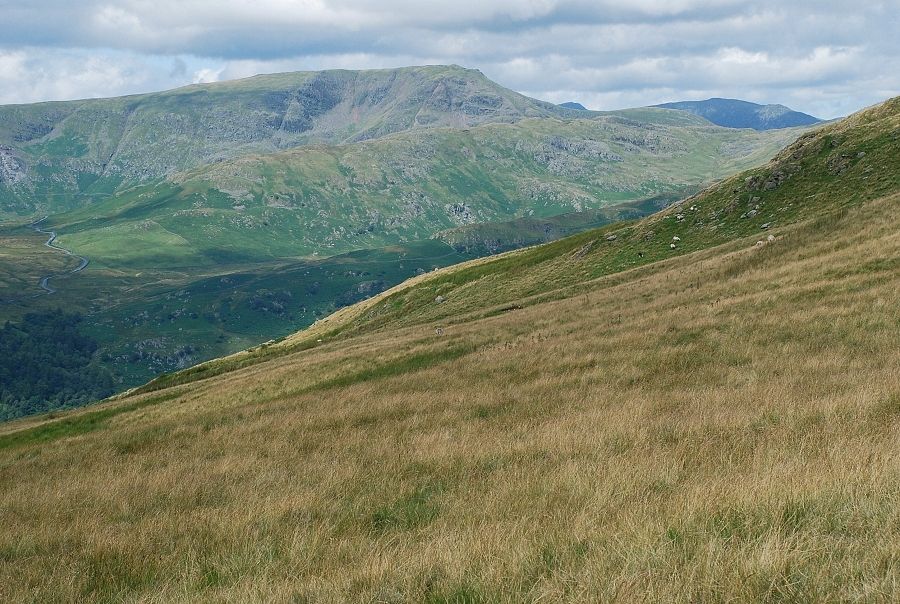
| On the Garburn Road beneath Applethwaite Quarry. Yoke appearing straight ahead with Ill Bell, Froswick and the slopes leading up toThornthwaite Crag. The traverse of this ridge is a popular walk from the summit of the road |
 |
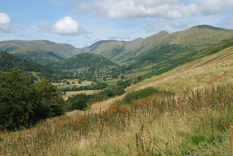
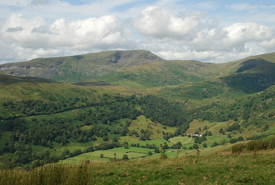
| Looking across the valley to Troutbeck village |
 |
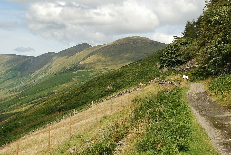
| Yoke from the mid point of the road to the Garburn Pass |
 |
| From the same point, Red Screes across the valley |
 |
| Nearing the top of the road |
 |
| Beyond a gate and just before the summit of the road a path leads off to the left |
 |
| The start of the path is usually quite wet and muddy but it soon improves as it gains height |
 |
| Red Screes and the Kirkstone Pass road crossing Woundale Raise |
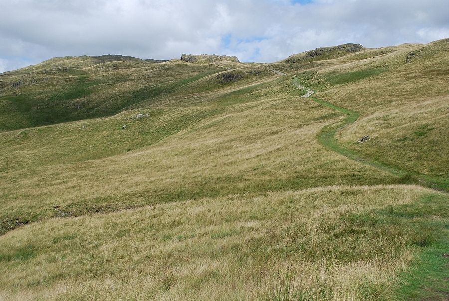 |
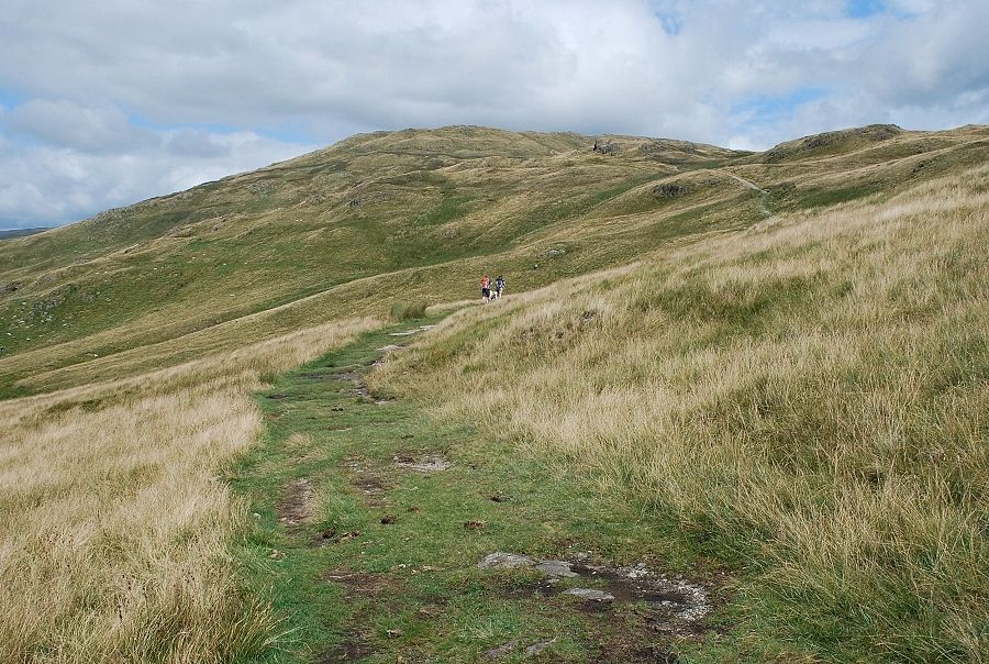
| The path does not follow the ridge line on this lower section and so the views are restricted |
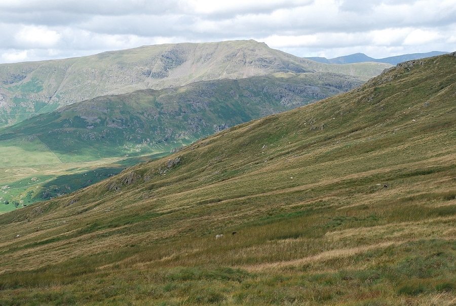 |
| Sunshine on Red Screes with Helvellyn more visible over Smallthwaite Band and Middle Dodd as height is gained |
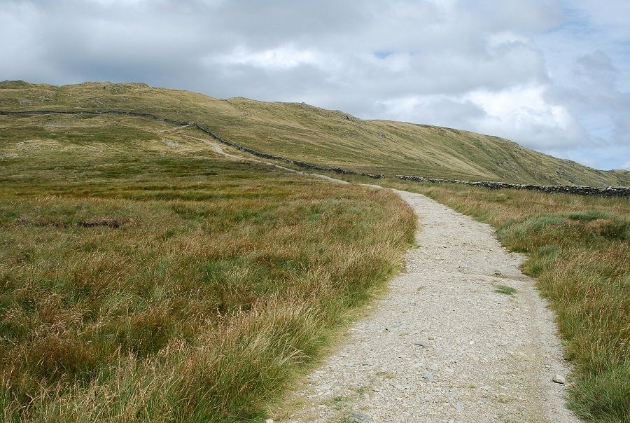 |
| It must at least six years since I last came this way so this is new to me. The middle section of the path has been repaired using an excavator to construct a raised and compacted gravel surface above the surrounding peaty ground |
 |
| And I am sure there used to be an awkward ladder stile over this wall |
 |
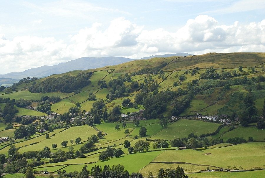
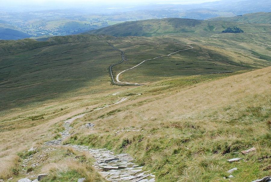
| Looking back to Windermere from the wall The course of the Garburn Road can be seen traversing across the slopes of the Sour Howes ~ Sallows ridge on the left |
 |
| Looking back along the route from the path above the wall |
 |
| Thornthwaite Crag and Ill Bell |
 |
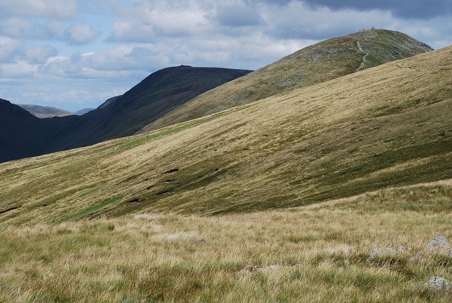
| The final slope leading to the summit ridge |
 |
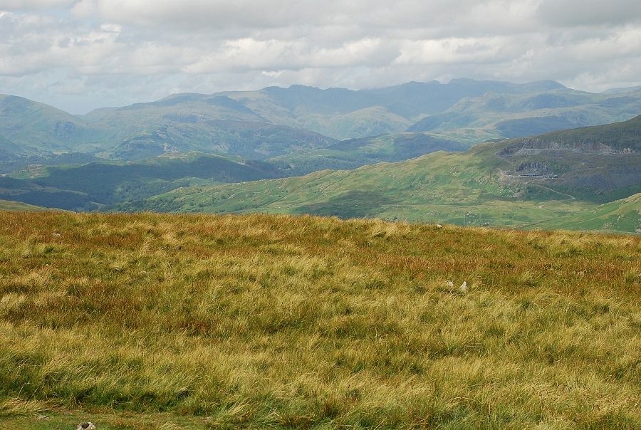
| Looking over Wansfell to the Coniston fells |
 |
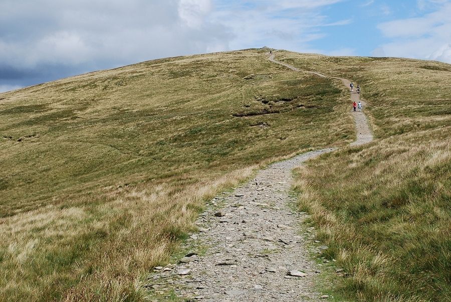
| Approaching the large cairn on the southern end of the summit ridge |
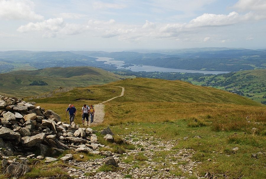 |
| The south cairn provides the best viewpoint for Windermere |
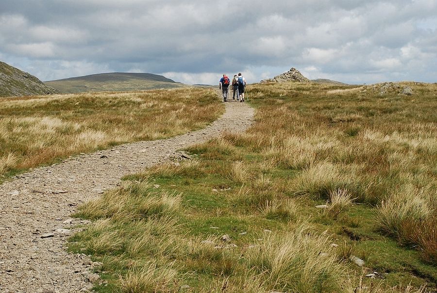 |
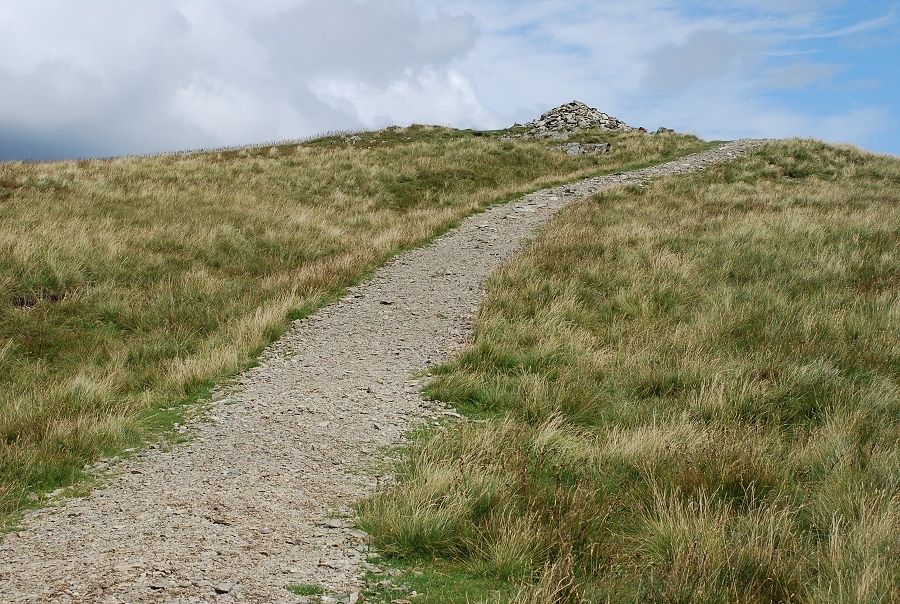
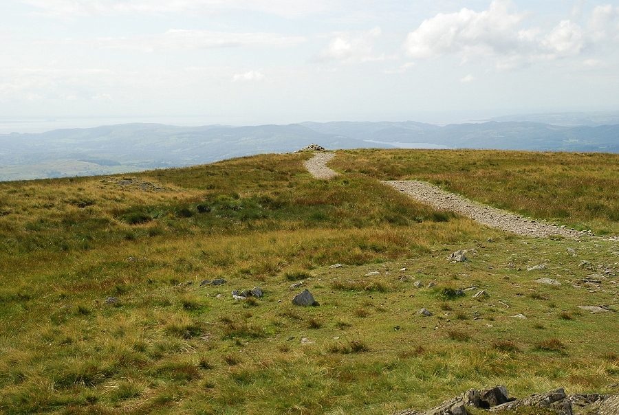
| The actual top is only a short distance away along the level ridge |
 |
The summit of Yoke All that remains of the fence depicted in AW's sketch is a collection of iron posts piled together to the east of the cairn
Yoke - page7 |
 |
| Looking back to the south cairn |
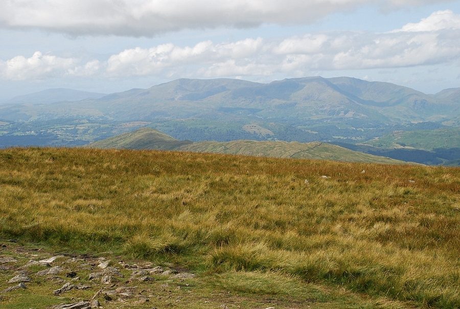 |
| The Coniston fells |
 |
| Looking west, Crinkle Crags and Bowfell on the skyline |
 |
| Red Screes over St. Raven's Edge, the dome of Great Gable and Pillar above High Raise on the left |
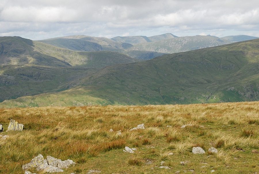 |
| On the horizon, Red Screes, Fairfield, Dollywaggon Pike, Helvellyn, St. Sunday Crag, Catstycam and Raise |
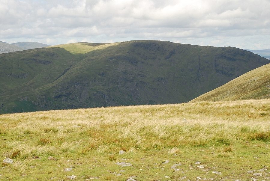 |
| Caudale Moor |
 |
| Ill Bell and High Street |
 |
| High Street and Mardale Ill Bell |
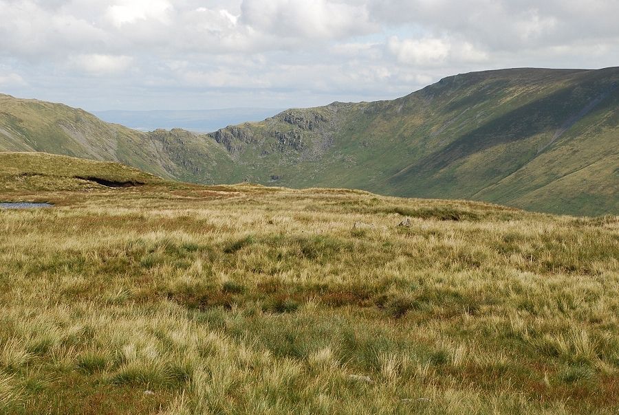 |
| Nan Bield Pass and the ridge leading up to Harter Fell |
 |

