 |
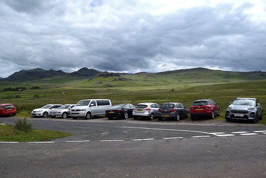
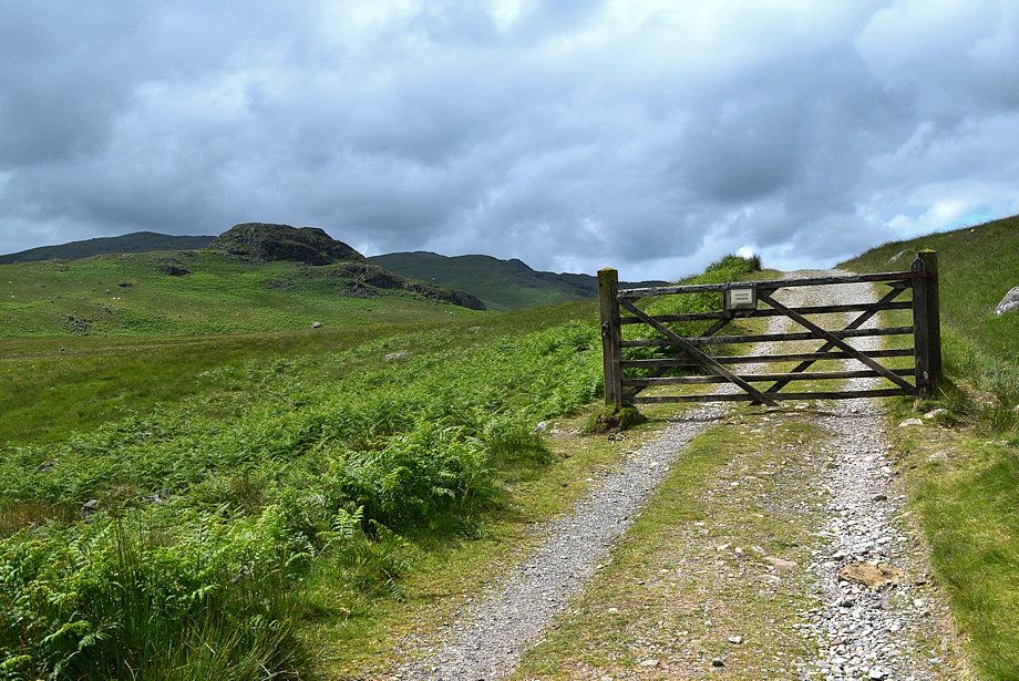
| The walk starts from the access lane to High Ground Farm where there is room to park cars on its verge |
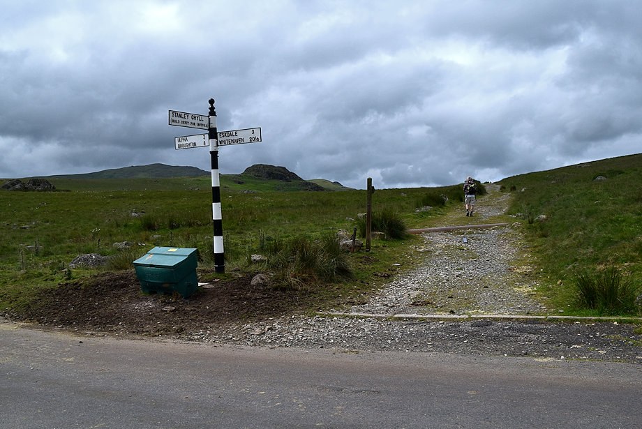 |
| Directly opposite the car parking area is the start of the bridleway track to Devoke Water |
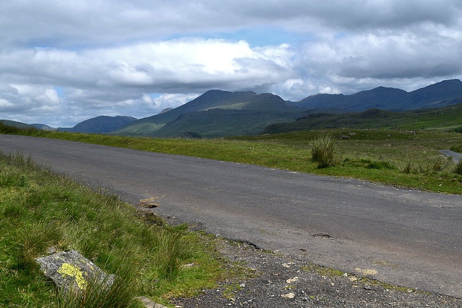 |
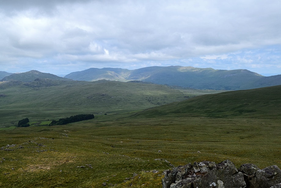
| The Scafell group of fells from the start of the bridleway track |
 |
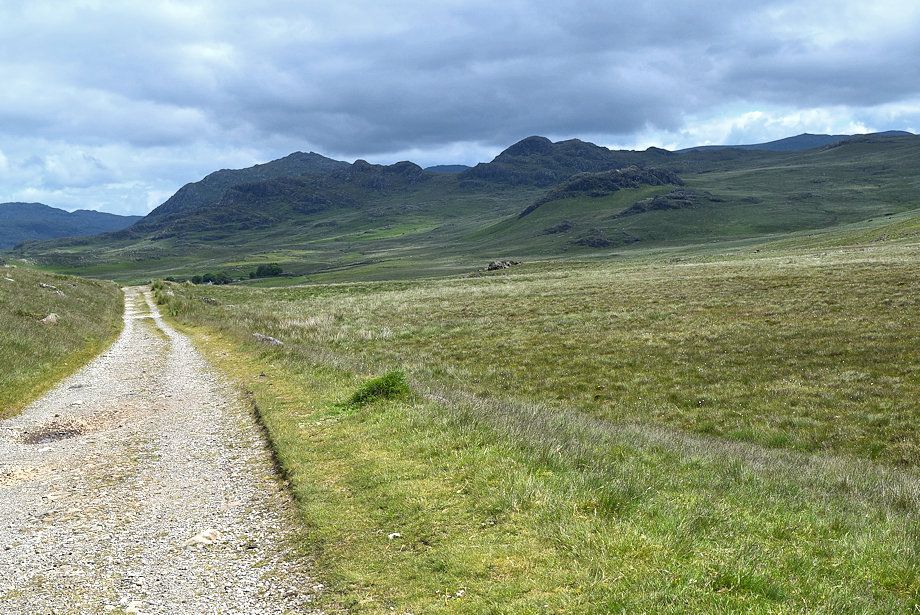
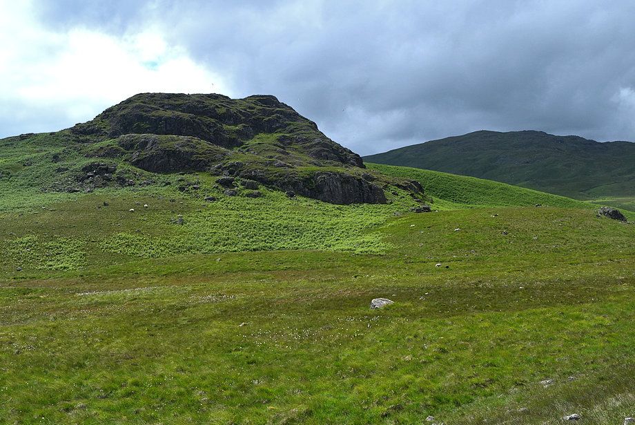
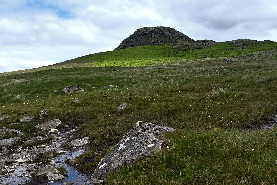
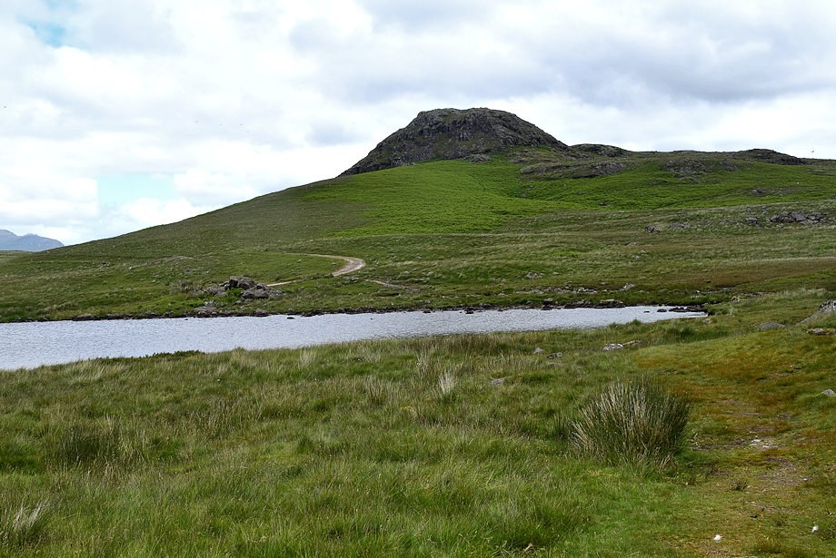
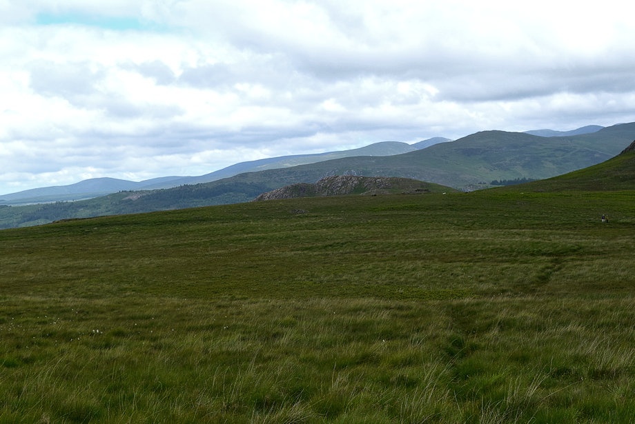
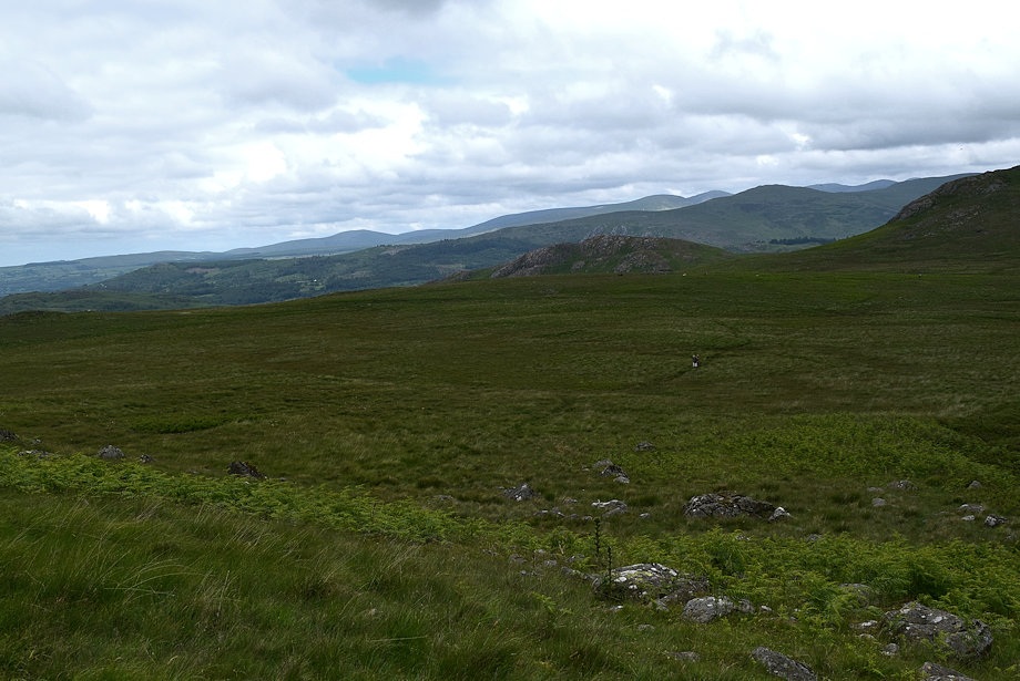
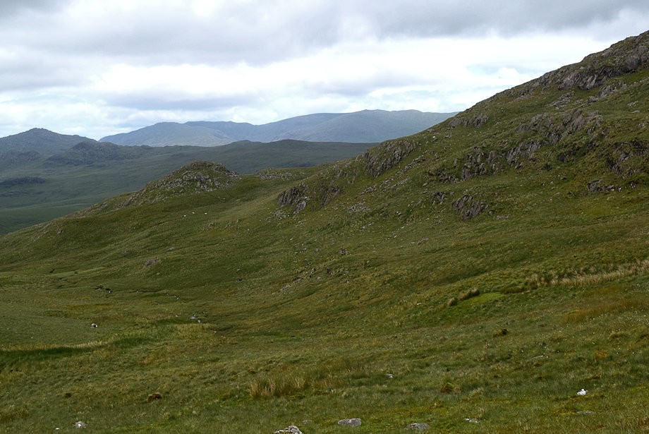
| Great Worm Crag from the bridleway track |
 |
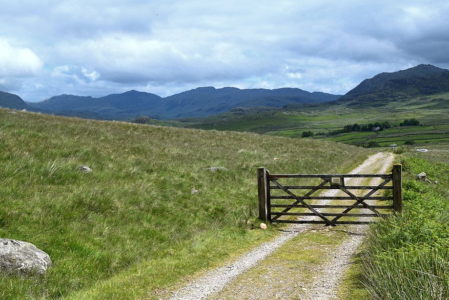
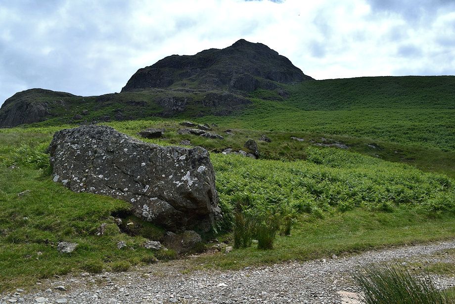
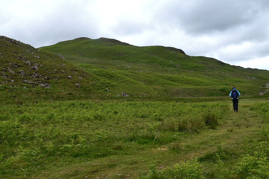
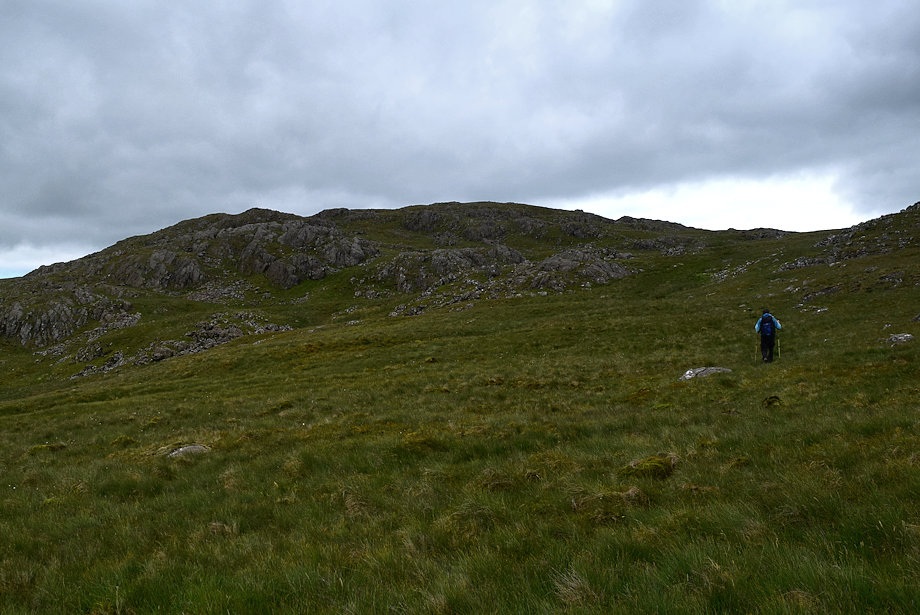
| Seat How and White Pike from the gate on the bridleway track |
 |
| Looking back to Esk Pike, Bowfell and Crinkle Crags with Harter Fell on the right |
 |
| Harter Fell over Crook Crag with Green Crag to the right |
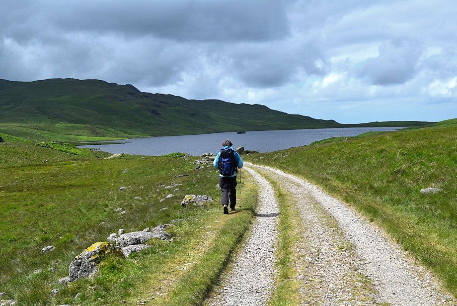 |
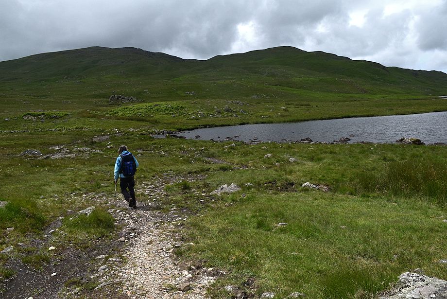
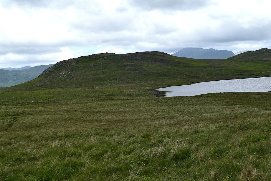
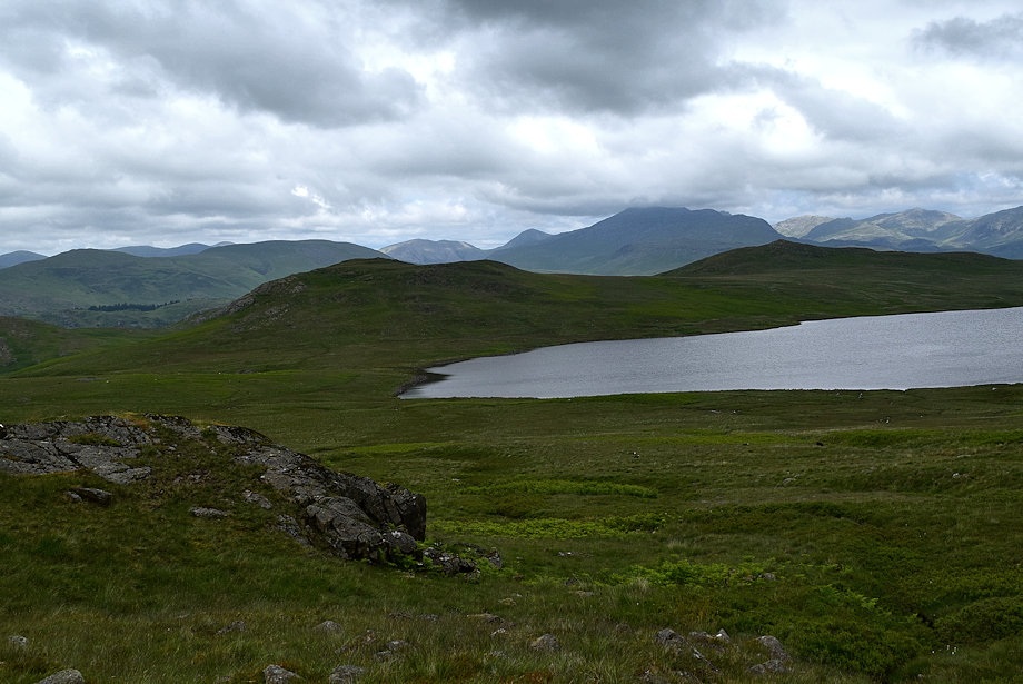
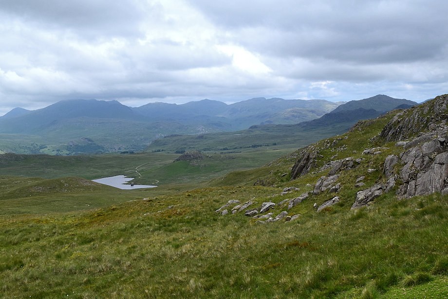
| Devoke Water comes into view |
 |
| Seat How and Woodend Height from the bridleway |
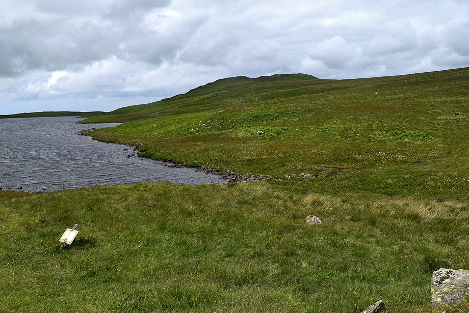 |
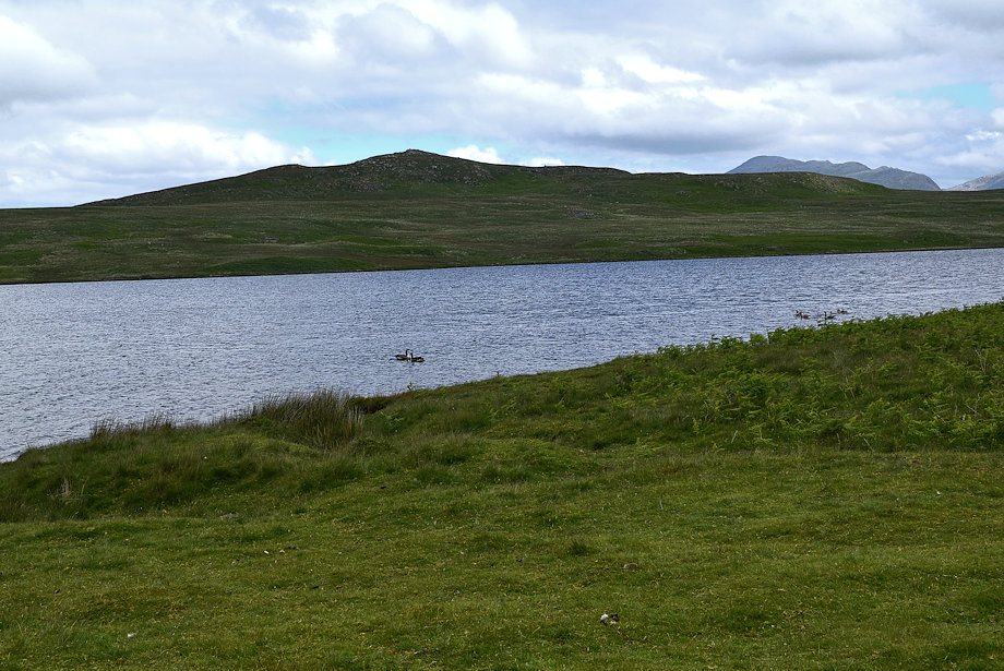
| Water Crag from the eastern end of Devoke Water |
 |
| Woodend Height and White Pike from the bridleway track leading to the boathouse |
 |
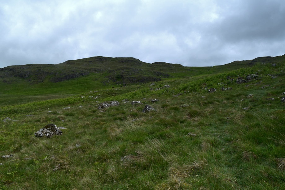
| Passing below the crags of Seat How |
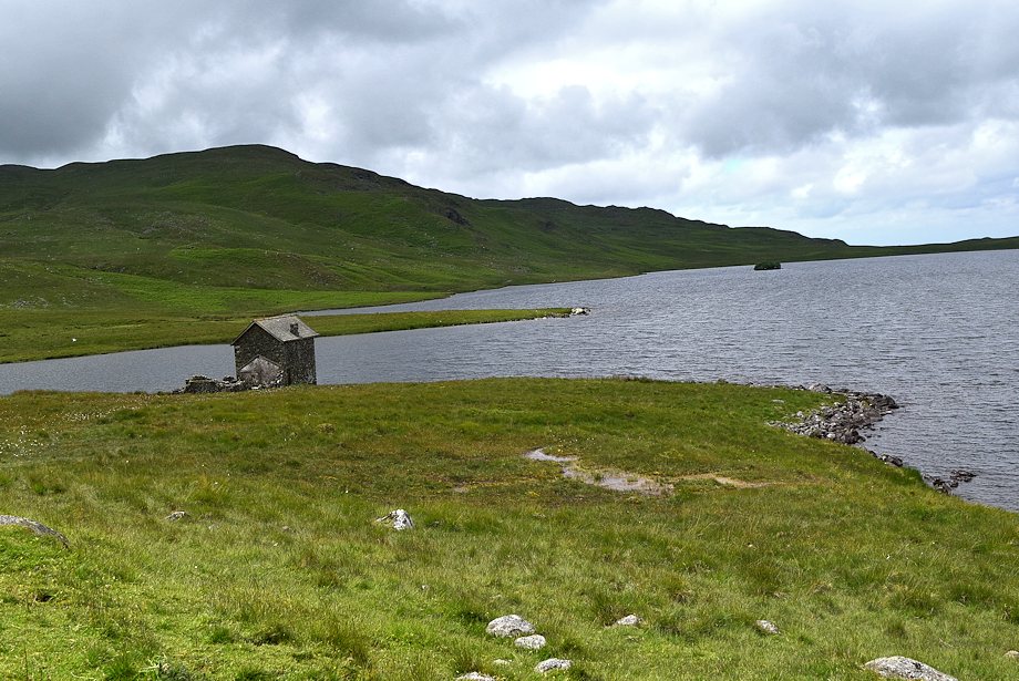 |
| The boathouse from Boat Wyke |
 |
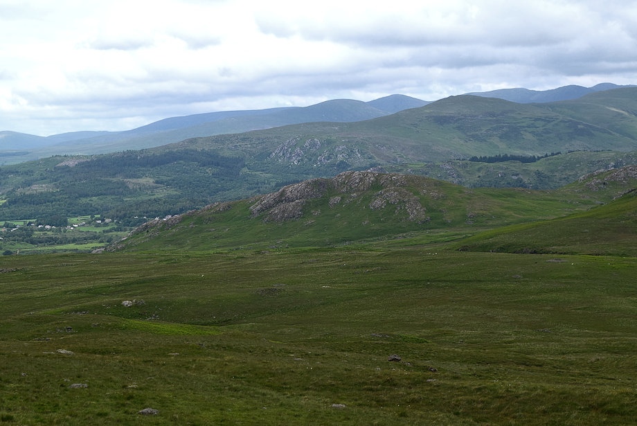
| Looking over to Woodend and Hesk Fell |
 |
| Water Crag across Devoke Water |
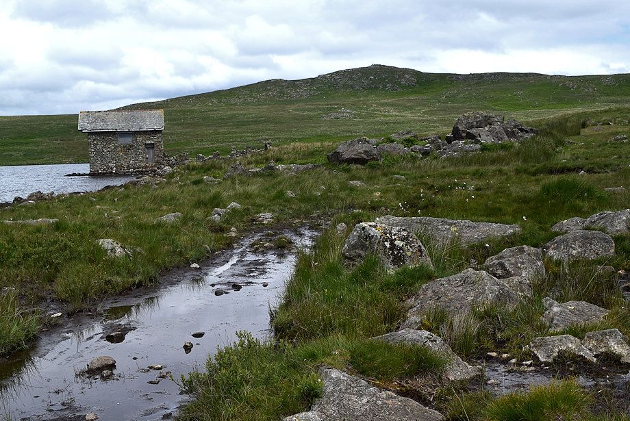 |
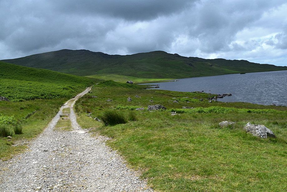
| The wide track ends at the boathouse, a bridleway path (wet in places) continues along the southern side of Devoke Water |
 |
| Looking back to Seat How from the path |
 |
| Woodend Height and White Pike from the bridleway path as it approaches Washfold Point |
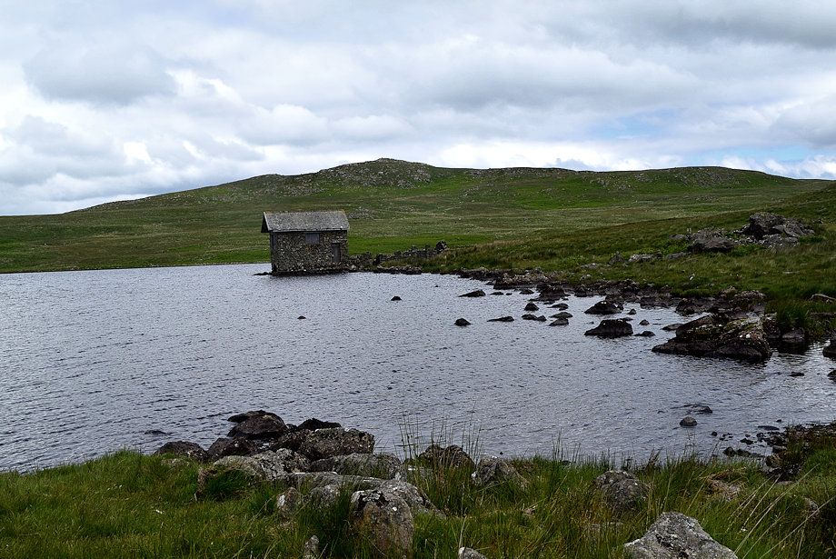 |
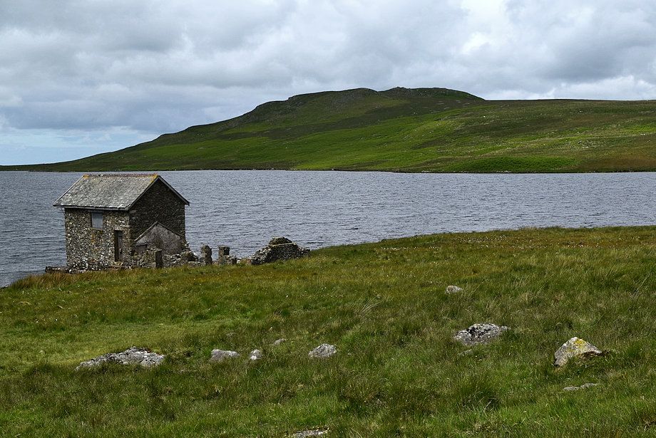
| The two story boathouse which was built in 1777 to replace an earlier one which was located further to the north |
 |
| White Pike from Washfold Point |
 |
| Seat How and The Seat from Washfold Poin |
 |
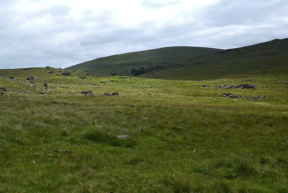
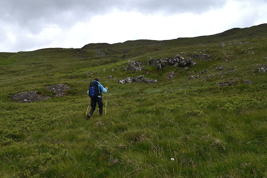
| White Crag from the path along The Wyke, we will leave it in a few hundred yards to avoid some wet ground ahead and begin a pathless traverse across the northern slopes of Stord's Hill to join a path which rises from the western end of Devoke Water to gain the col between Woodend Height and White Pike |
 |
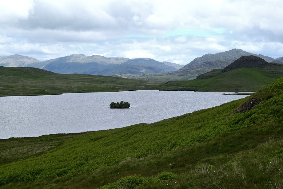
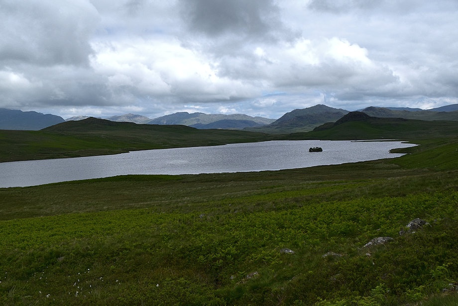
| Rough Crag and the Scafells from The Wyke |
 |
| Looking back to Devoke Water from the slopes of Stord's Hill |
 |
| The Scafells above the col between Water Crag and Rough Crag |
 |
| Joining the path rising from the western end of Devoke Water which is not as clear as we'd hoped |
 |
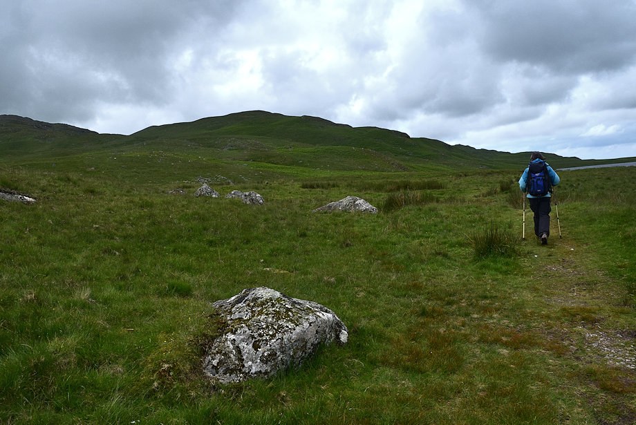
| Woodend Height from the path |
 |
| Looking back to Devoke Water with Crinkle Crags on the centre horizon |
 |
| Lank Rigg, Whoap, Caw Fell, Seatallan, Haycock, Whin Rigg and Scoat Fell form the horizon |
 |
| We veered away from the path which climbs up to White Pike and made directly for the col |
 |
| Great Gable and Scafell over the col between Water Crag and Rough Crag |
 |
| Looking down on Brantrake Crags |
 |
| The Coniston Fells across the slopes of Rowantree How |
 |
| Approaching the col between Woodend Height and White Pike |
 |
| The summit of White Pike from the col |
 |
| Looking back to Devoke Water from the col |
 |
| Yoadcastle comes into view as the path turns to the east and climbs up to higher col between it and Woodend Height |
 |
| Looking over towards Whit Fell, Stainton Pike and Burn Moor |
 |
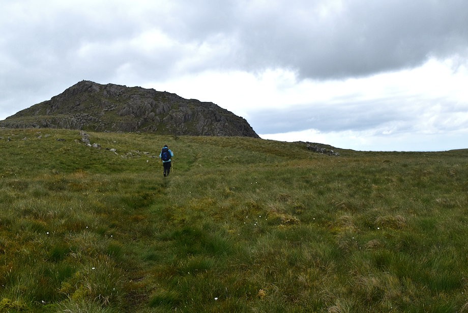
| Approaching the higher col, the route of ascent is via the short but steep north ridge, two walkers are making their way up it |
 |
| The Coniston Fells from the col between Woodend Height and Yoadcastle |
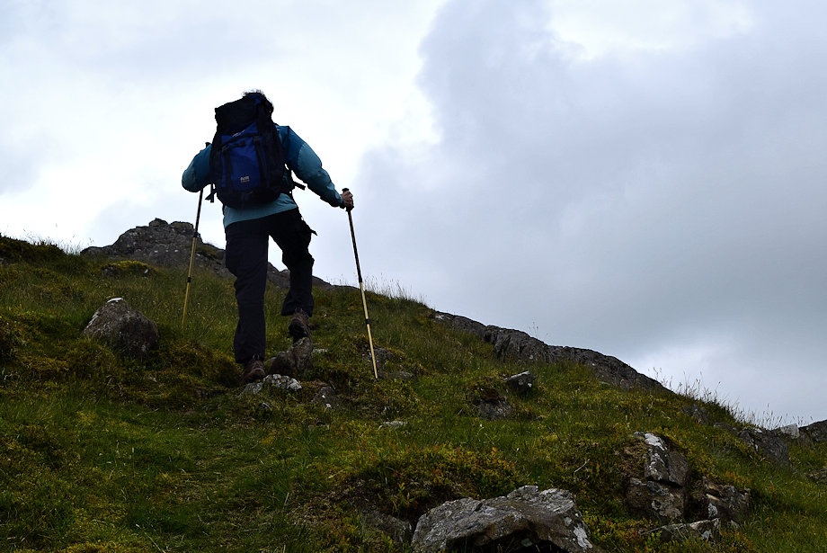 |
| Climbink Yoadcastle's north ridge |
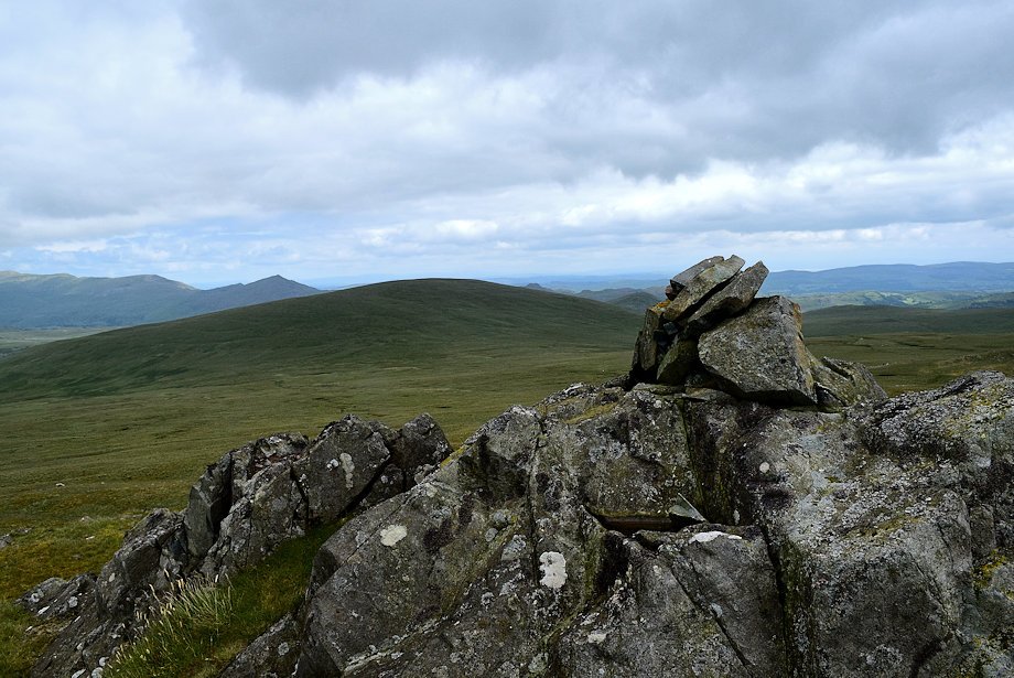 |
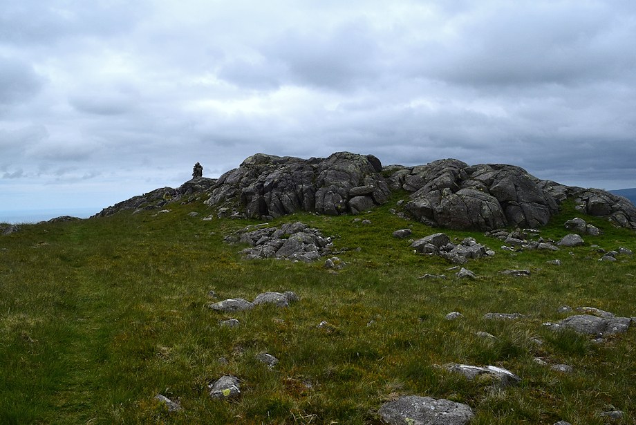
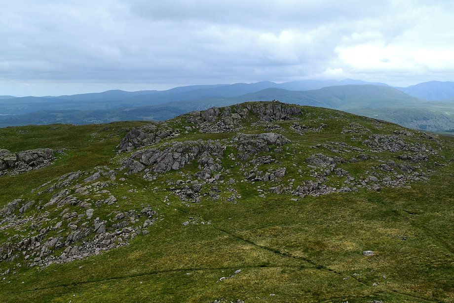
| The summit cairn on Yoadcastle |
 |
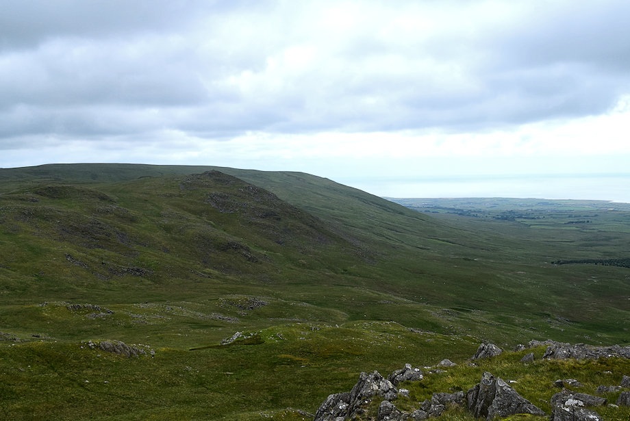
| Whit Fell from the summit of Yoadcastle |
 |
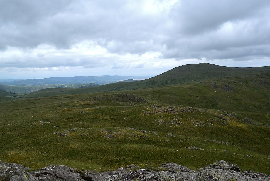
| Burn Moor above Stainton Pike from the summit of Yoadcastle |
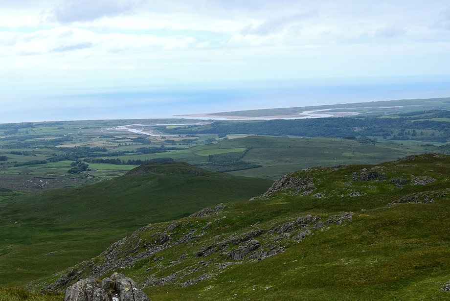 |
| Ravenglass beyond the summit of The Knott |
 |
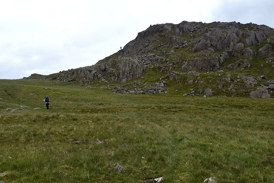
| The route taken up from the lower col which is in the left foreground below the summit of White Pike |
 |
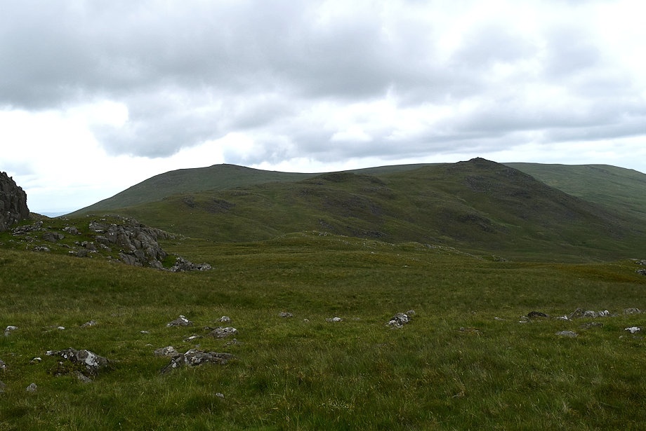
| The summit of Woodend Height across the higher col |
 |
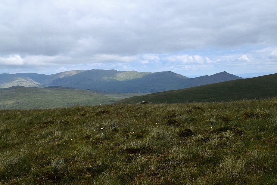
| Looking north to the high fells, Kirk Fell, Great Gable, Scafell, Scafell Pike, Esk Pike, Bowfell and Crinkle Crags on the skyline |
 |
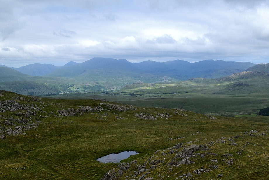
| Harter Fell and the Coniston Fells from the summit of Yoadcastle |