 |
| The LDNP car park at Brown Howe by the shore of Coniston Water is the starting point for this walk |
 |
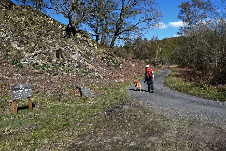
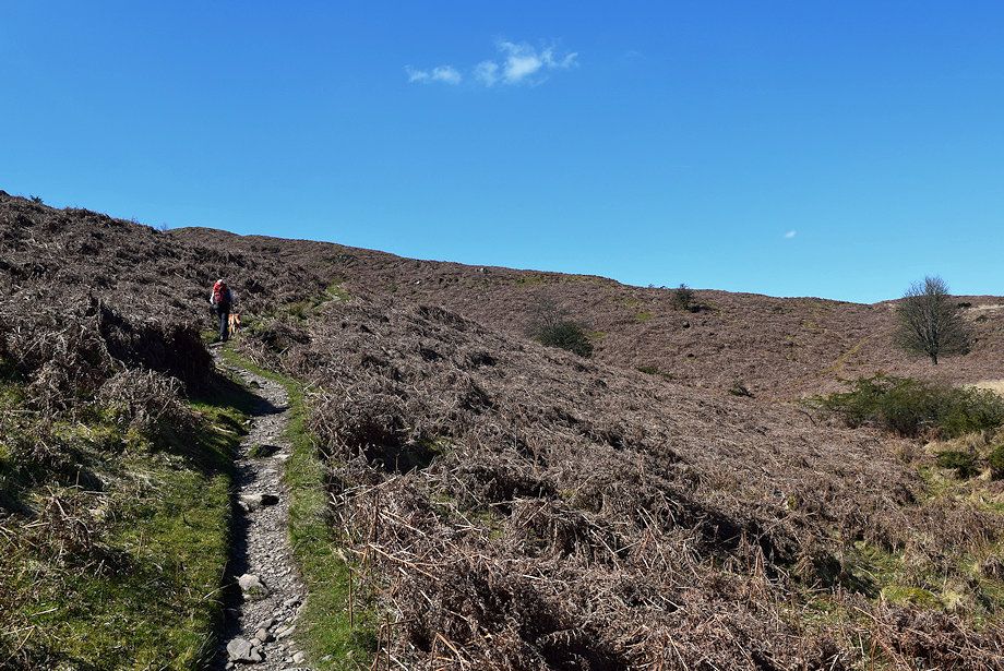
| A hundred yards to the south of the car park is a narrow lane that leads onto Blawith Common which is a Special Area of Conservation |
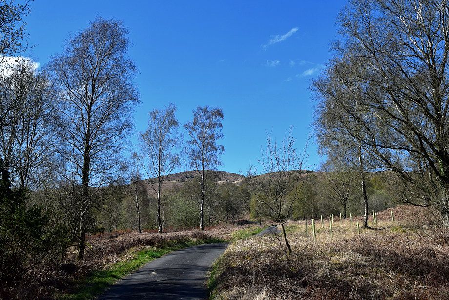 |
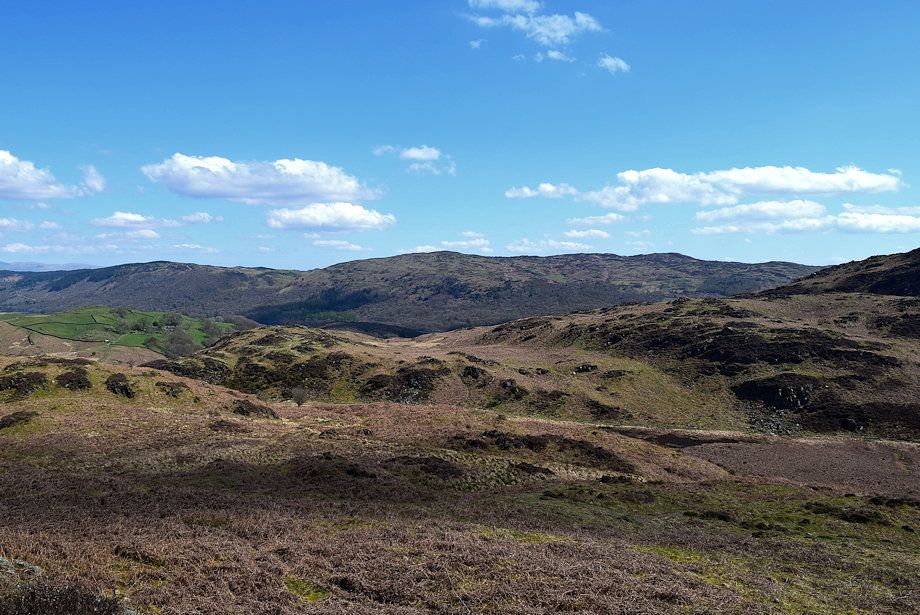
| Beacon Fell from the lane |
 |
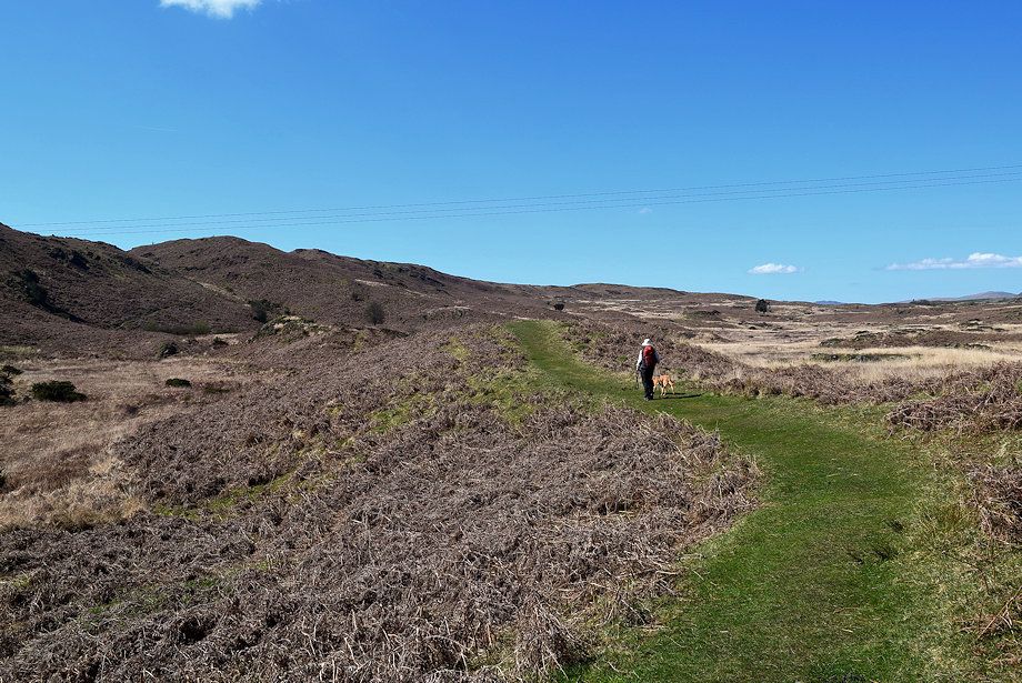
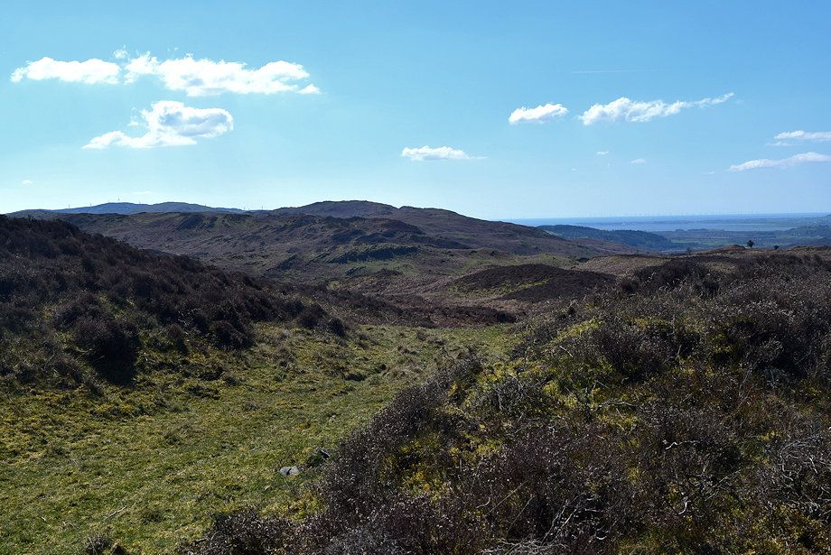
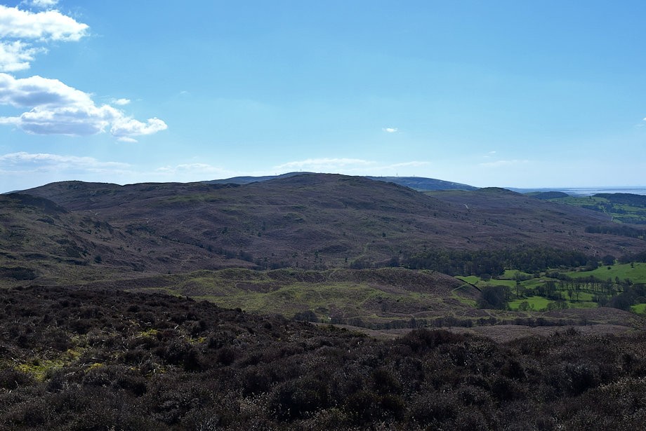
| Looking back towards Top o' Selside |
 |
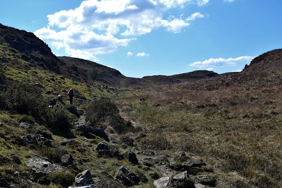
| The lane eventually leads to the isolated Stable Harvey Farm |
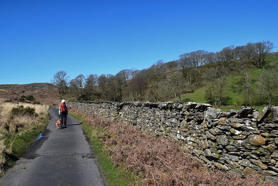 |
| After climbing steadily for half a mile the lane levels off as it passes alongside the Stable Harvey Farm's pasture fields before it resumes its climb beside Black Beck to Stable Harvey Moss |
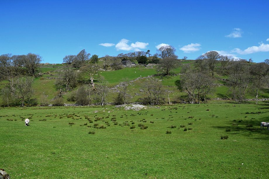 |
| Looking over to Stable Harvey Farm on the slopes of Coats Hill |
 |
| As the lane bends sharply to the north east towards the farm the Coniston Fells come into view |
 |
| A guidepost on the bend indicates the line of the Cumbria Way, a Long Distance Path between Ulverston and Carlisle |
 |
| On the Cumbria Way path with Fisher High and Yew Bank on the left |
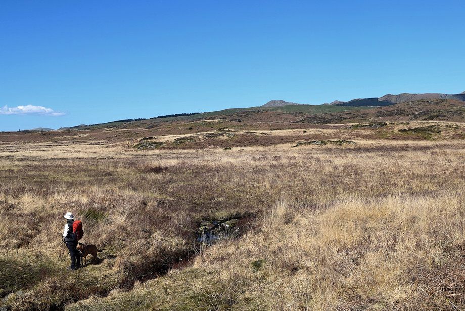 |
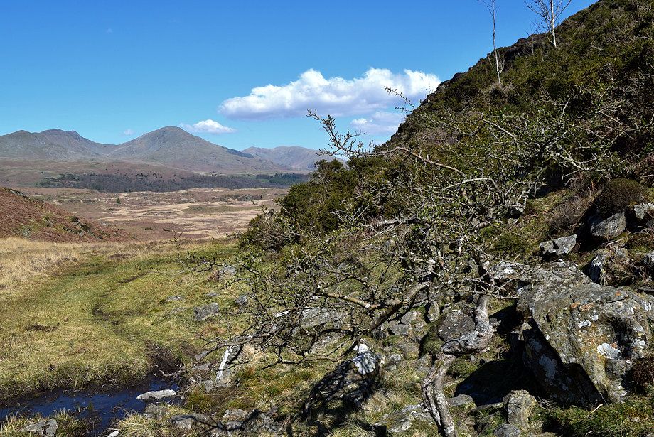
| Crossing Black Beck, here just a narrow stream which ineffectively drains the vast expanse of Stable Harvey Moss |
 |
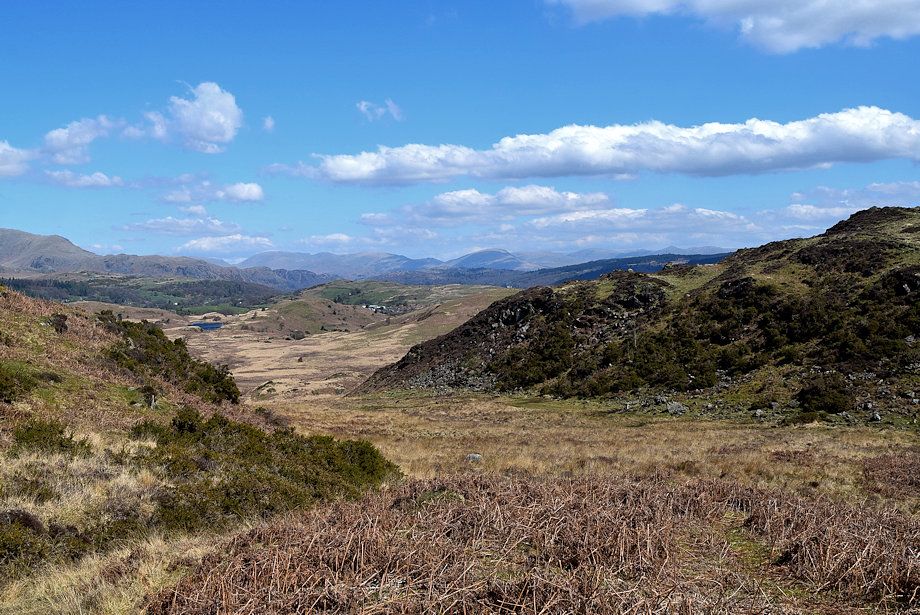
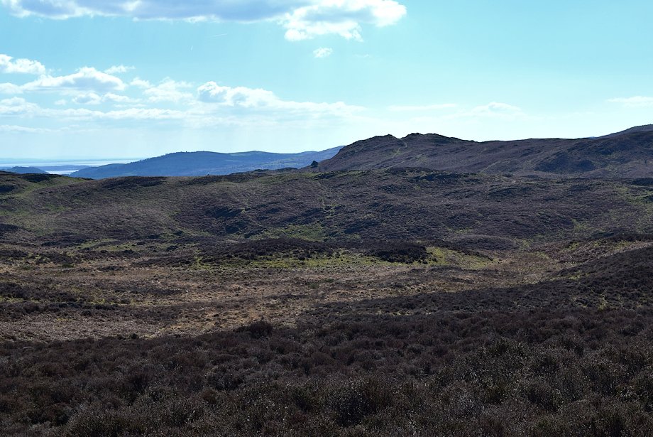
| The Coniston Fells across Stable Harvey Moss |
 |
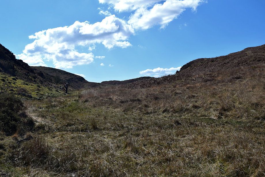
| The Cumbria Way path keeps well to the left of the moss as it wends its way around rocky knolls |
 |
| After a quarter of a mile of fairly level walking from the guidepost the path begins to climb towards Gill Head, a narrow col between Beacon Fell and Fisher High |
 |
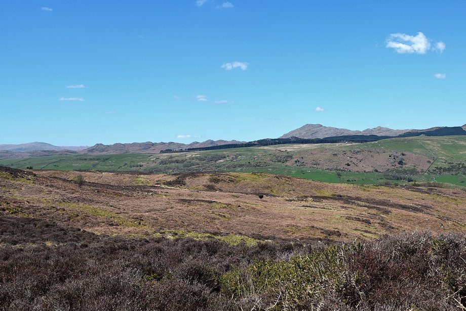
| Dow Crag, Coniston Old Man and Wetherlam from the start of the climb to Gill Head |
 |
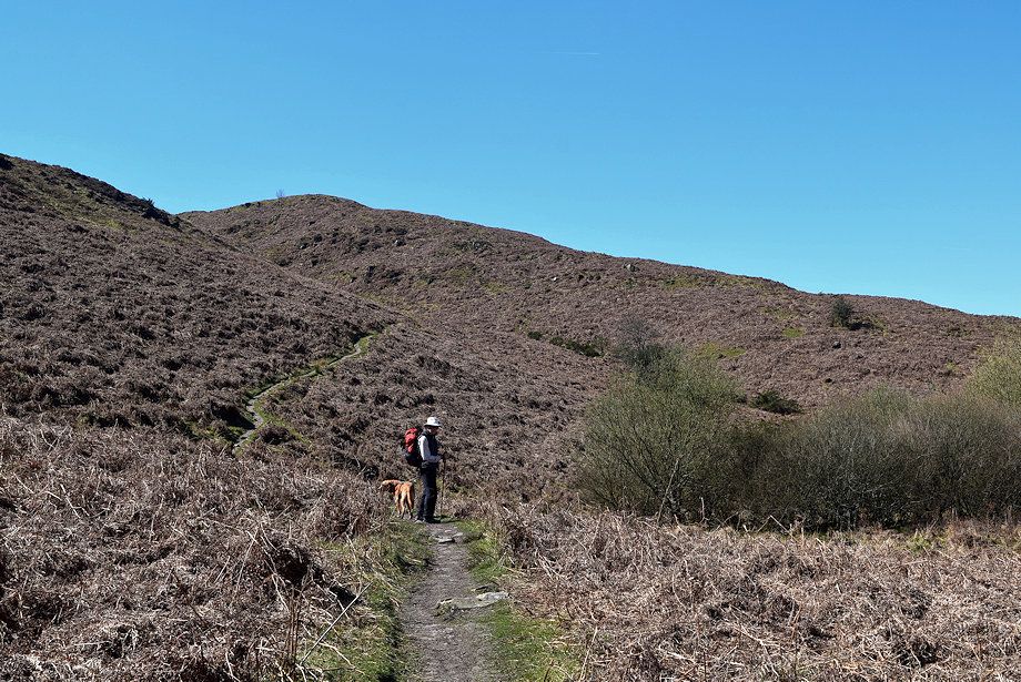
| The climb to Gill Head is the steepest part of the walk |
 |
| Looking over towards Caw, White Pike and White Maiden |
 |
| Looking back along the Cumbria Way |
 |
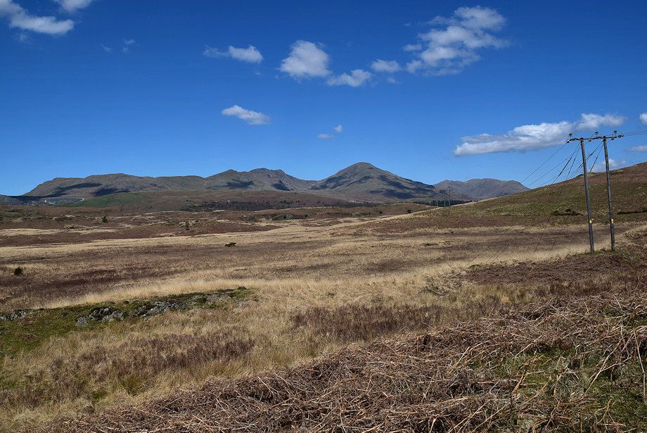
| The Fairfield group of fells on the horizon |
 |
| Approaching Gill Head |
 |
| Looking back to Dow Crag, Coniston Old Man and Wetherlam |
 |
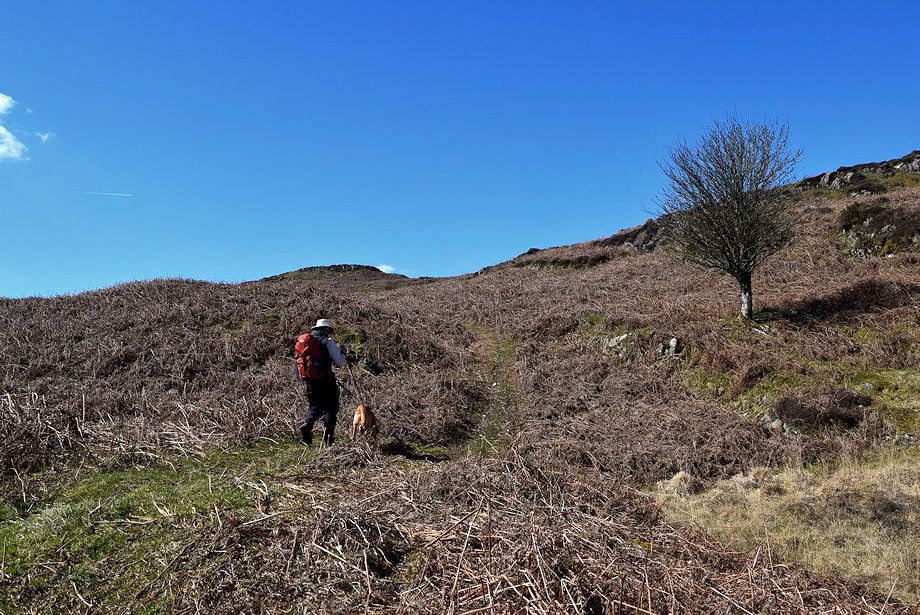
| As the Cumbria Way path begins to level off we leave it for a path which crosses over the col and climbs up to Fisher High |
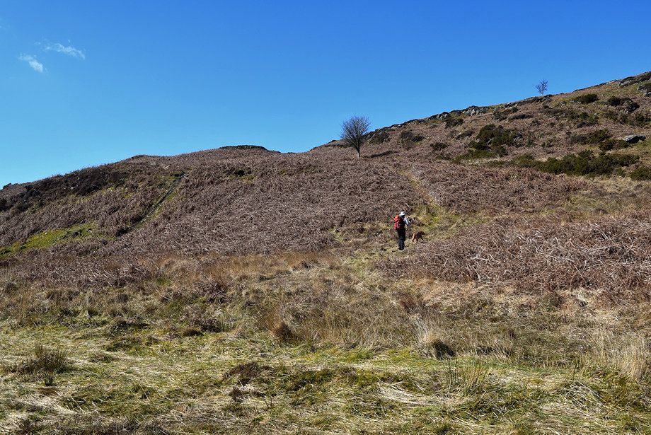 |
| The path is indistinct at first as it crosses slightly marshy ground but soon becomes clear on the bracken covered lower slopes of Fisher High |
 |
| Looking back to the col |
 |
| It's only requires a simple climb of about 140 feet from the col to reach the rock and heather summit of Fisher High seen here left of centre |
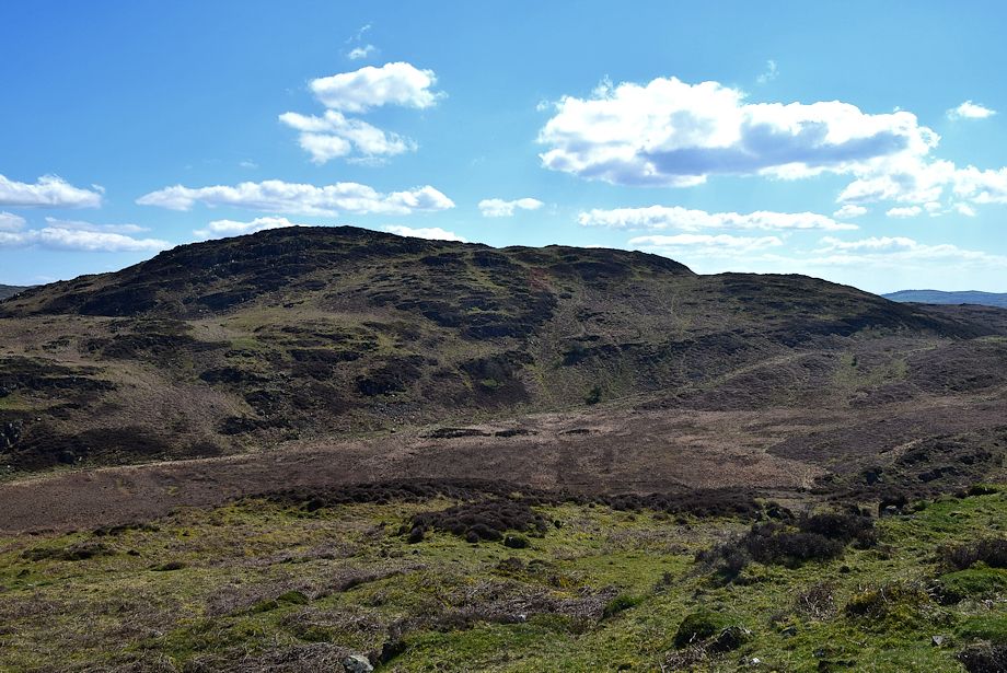 |
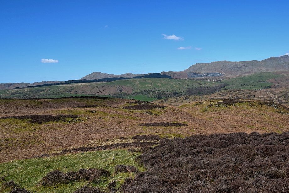
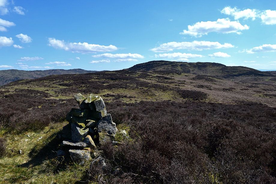
| Beacon Fell across Gill Head from the summit of Fisher High |
 |
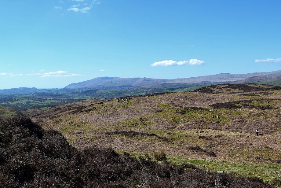
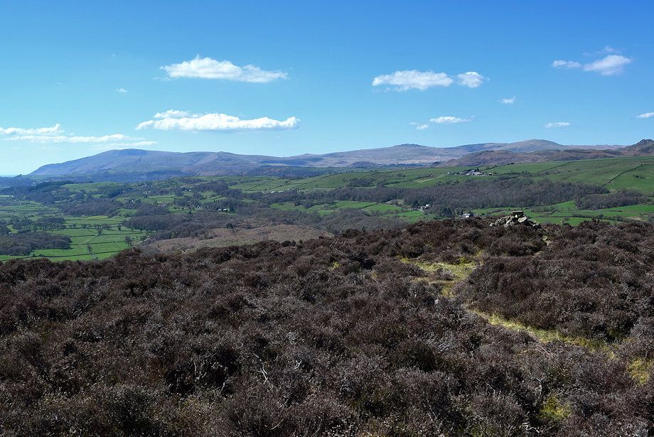
| Spy Hill, Top o' Selside and Arnsbarrow Hill from the summit of Fisher High |
 |
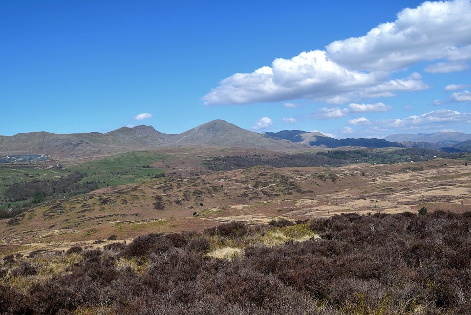
| The distant Fairfield group of fells, Red Screes prominent in the centre with The Far Eastern Fells to the right from the summit of Fisher High |
 |
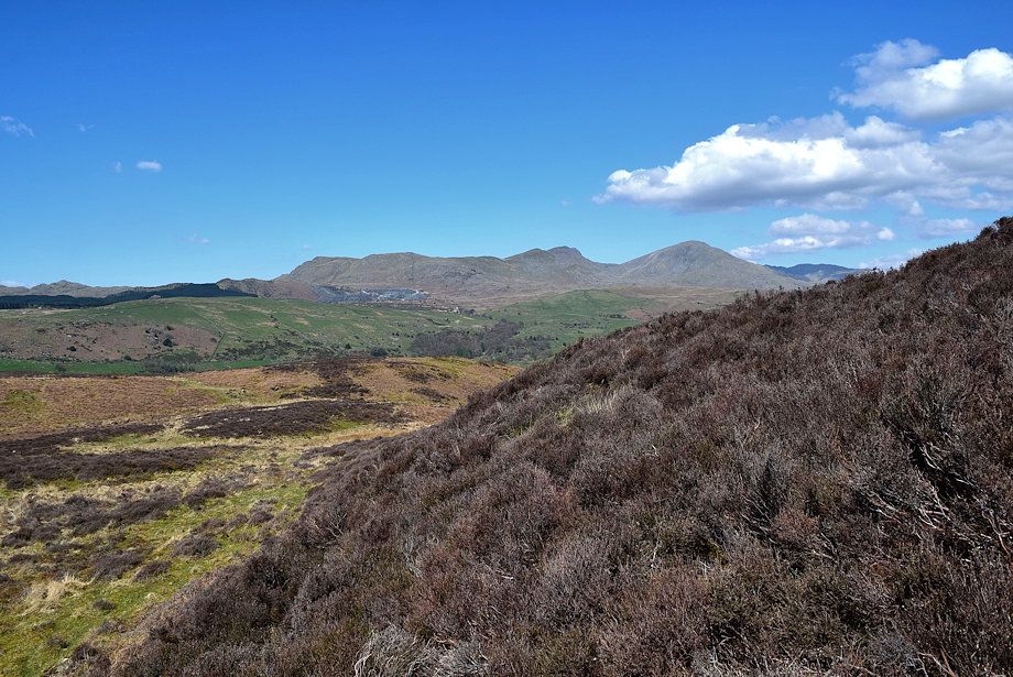
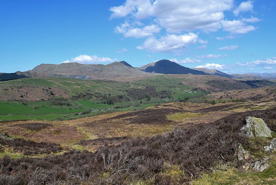
| The Coniston Fells from the summit of Fisher High |
 |
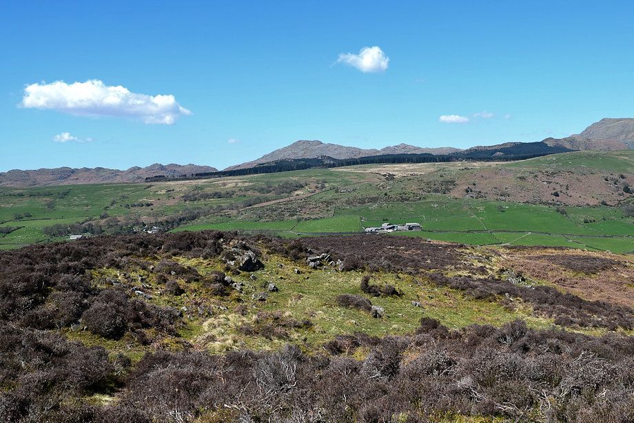
| Caw and Pikes from the summit of Fisher High |
 |
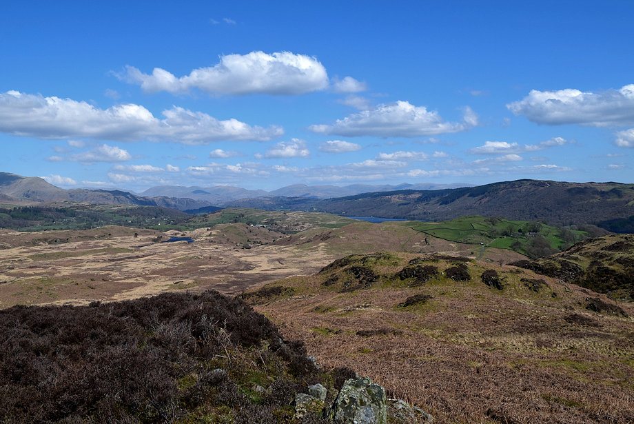
| Black Combe and Buck Barrow on the horizon. The summit of Yew Bank in the right foreground |
 |
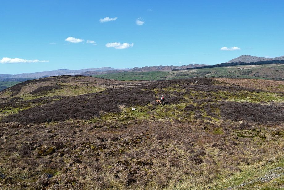
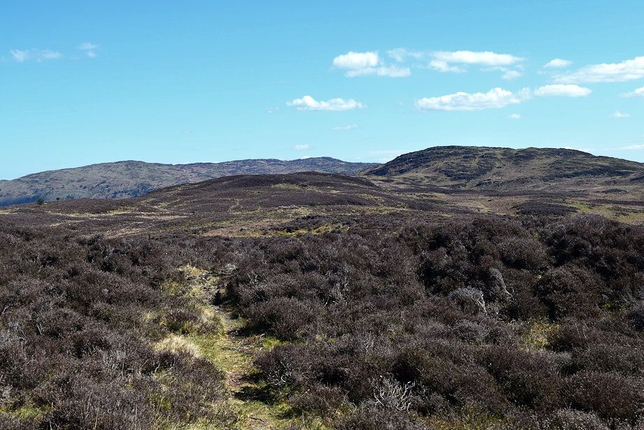
| The summit of Yew Bank is a little less than three quarters of a mile from the top of Fisher High. There is a faint trace of a path over this section of Fisher High's broad summit ridge, the only distinguishing features on it being two cairns near its western edge |
 |
| Looking over towards Blawith Knott |
 |
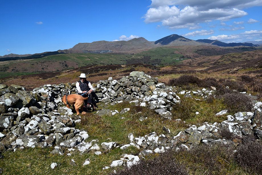
| Taking a break at the first cairn |
 |
| Looking back from the first cairn along Fisher High's summit ridge |
 |
| Wool Knott from the first cairn |
 |
| The Coniston Fells from the first cairn |
 |
| Beacon Fell from the first cairn |
 |
| Continuing on towards the second cairn |
 |
| Looking over to Caw and Pikes |
 |
| Wool Knott from the second cairn set near the end of Fisher High's summit ridge shortly after passing this cairn the path descends to Rattan Haw |
 |
| Dow Crag and Coniston Old Man from the descent to Rattan Haw |
 |
| Traversing Rattan Haw |
 |
| Looking over to Blawith Knott from Rattan Haw |
 |
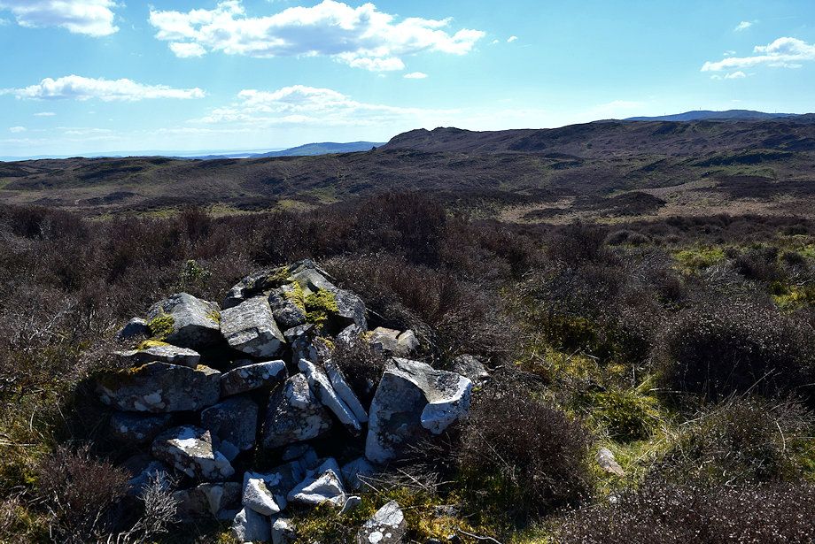
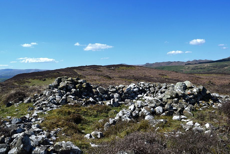
| The ancient cairn on Rattan Haw |
 |
| The summit of Yew Bank from the ancient cairn |
 |
| Crossing a wide green cross-ridge path below the summit of Yew Bank which we will use to return to Brown Howe |
 |
| Approaching the summit of Yew Bank |
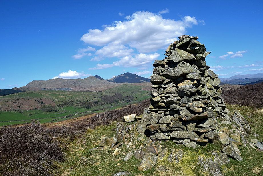 |
| The summit cairn on Yew Bank |
 |
| Fisher High from Yew Bank with Beacon Fell on the right |
 |
| Wool Knott from the summit of Yew Bank |
 |
| Blawith Knott from the summit of Yew Bank |
 |
| Black Combe, Buck Barrow, Burn Moor and Whit Fell from the summit of Yew Bank |
 |
| Caw and Pikes from the summit of Yew Bank |
 |
| The Coniston Fells from the summit of Yew Bank |
 |
| Looking east, Fairfield, Dove Crag, Red Screes and the Far Eastern Fells on the horizon |
