 |
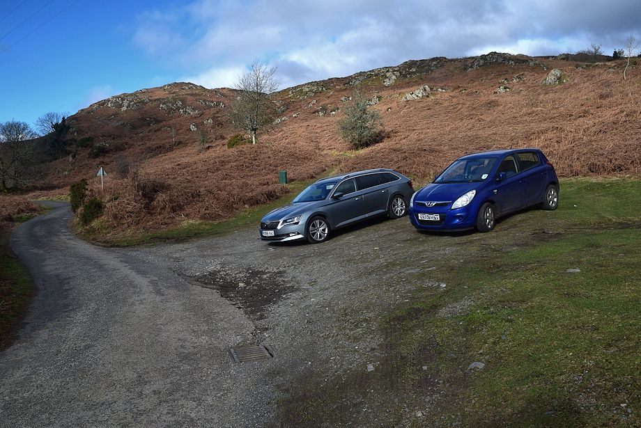
| The walk starts from a small parking area on the minor road to the west of Water Yeat |
 |
| Follow the road to Greenholme Farm which is about a third of a mile from Water Yeat |
 |
| Tottlebank Height from the road as it approaches Greenholme Farm |
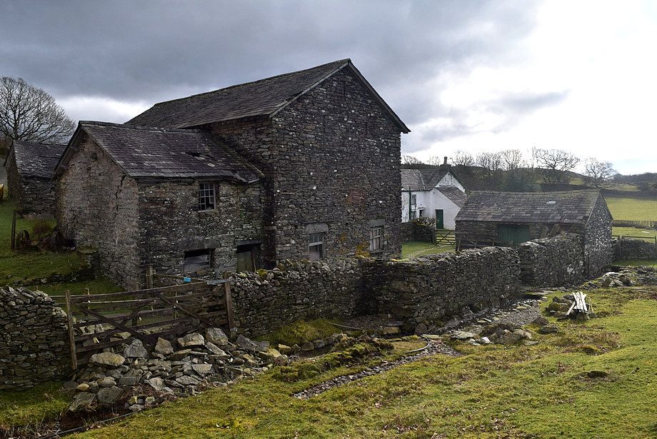 |
| The metalled road ends at Greenholme Farm the footpath to Beacon Tarn continues on beyond it |
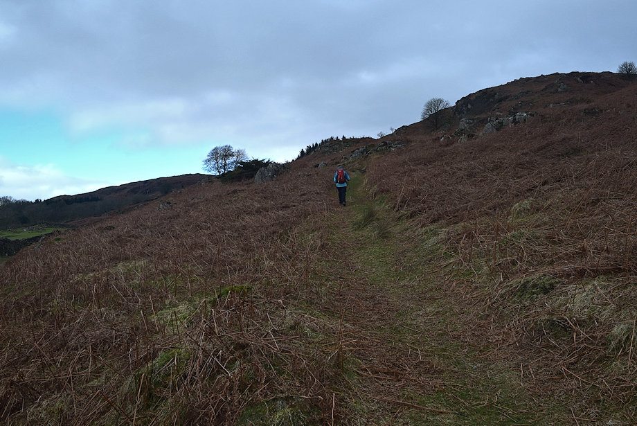 |
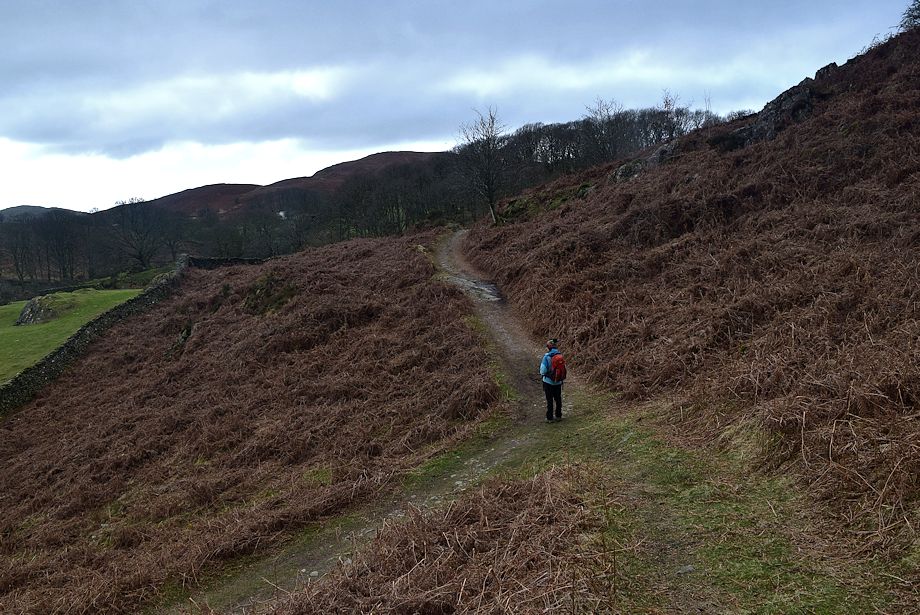
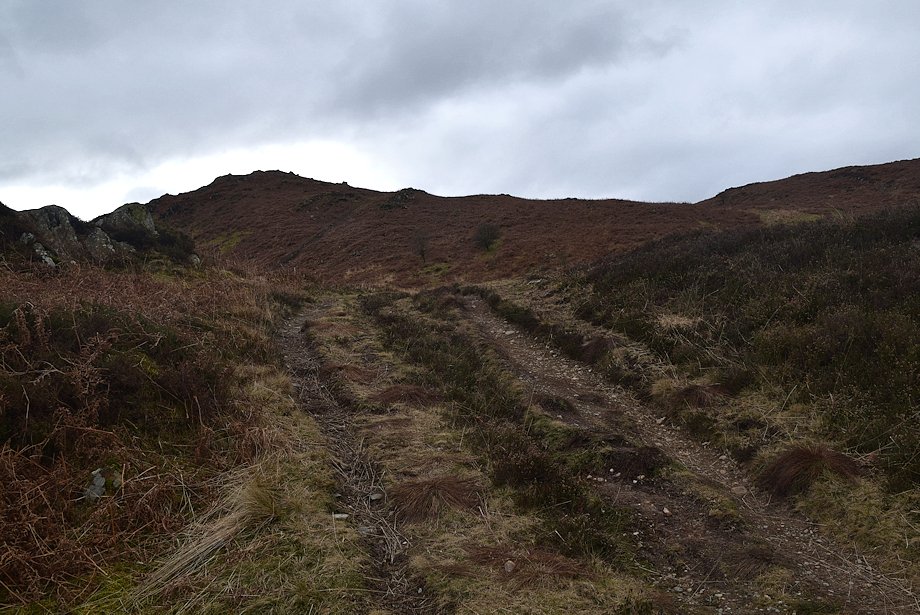
| On the footpath above Greenholme Farm |
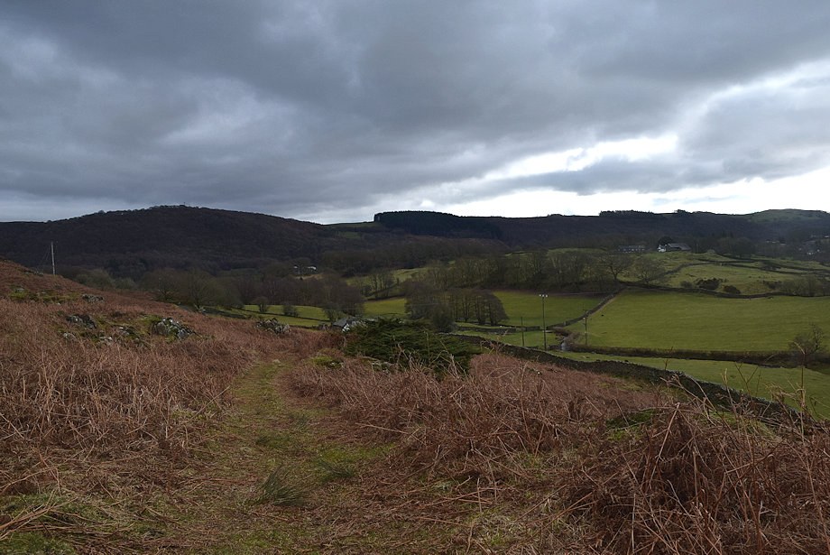 |
| Looking back across the Crake Valley from the footpath above Greenholme Farm |
 |
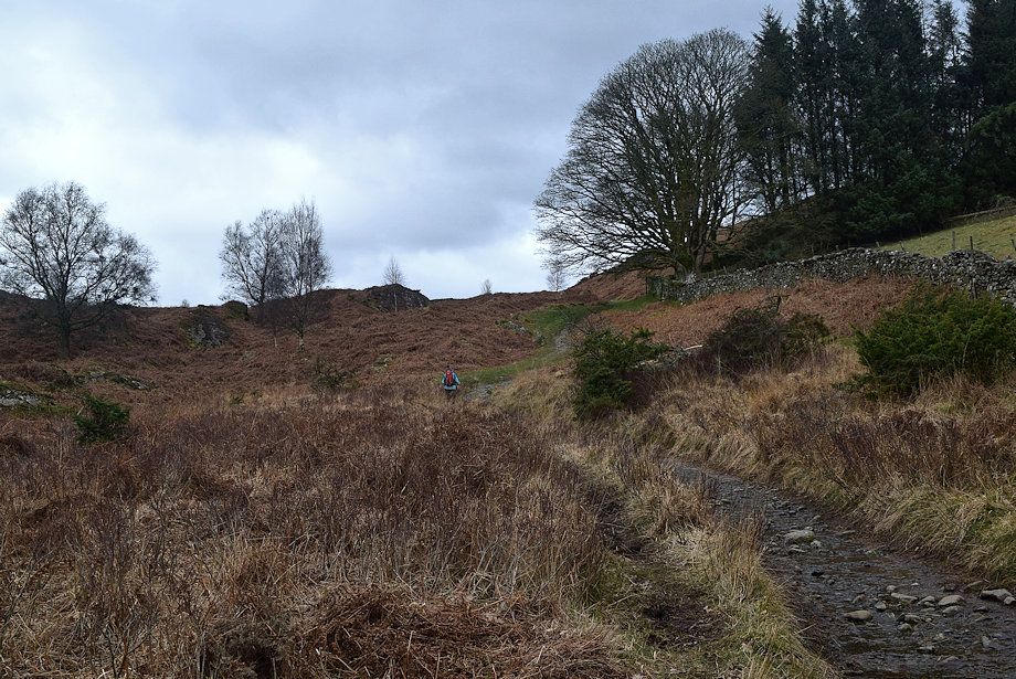
| The path crosses the lower slopes of Slatestone Fell to enter the shallow valley of Tarn Beck via a short section of a walled lane alongside Yew Barrow Wood |
 |
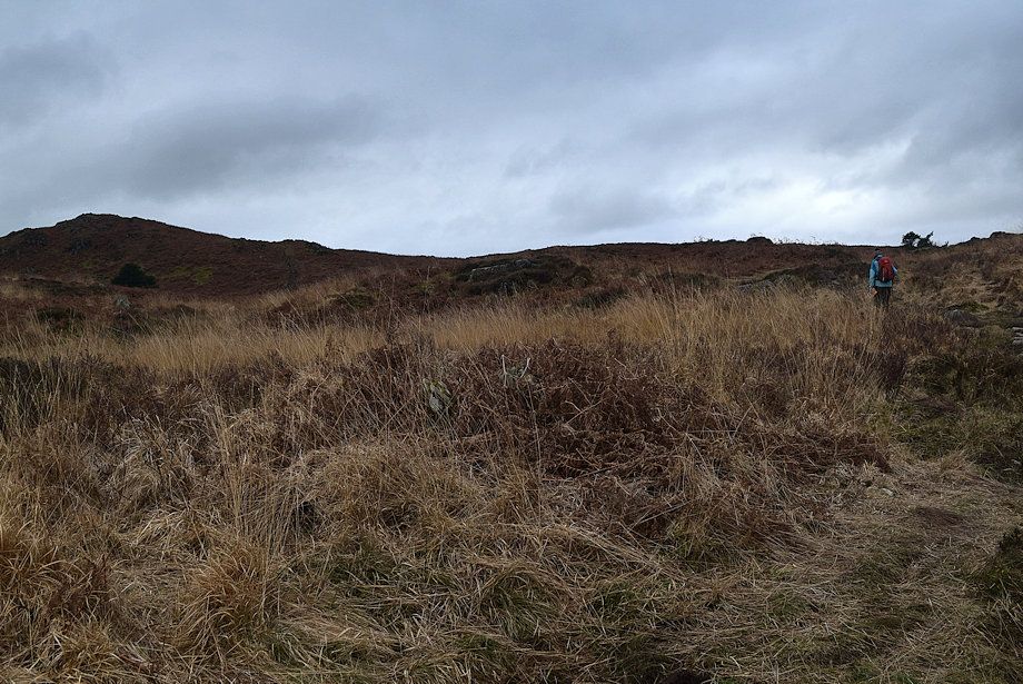
| The footpath to Beacon Tarn above Yew Barrow Wood |
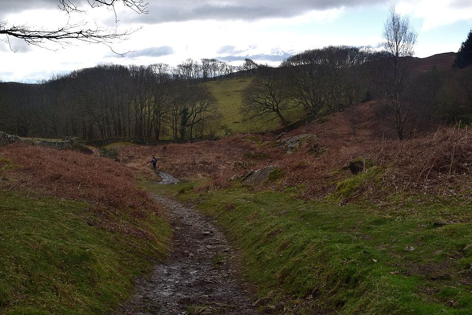 |
| Looking back to Yew Barrow Wood |
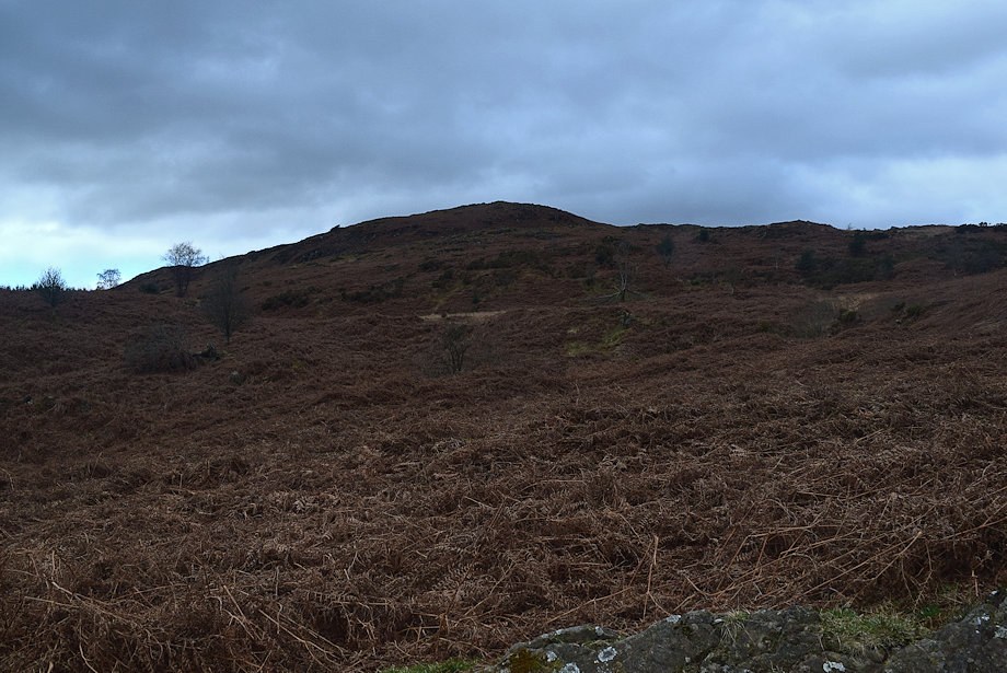 |
| Wool Knott comes into view |
 |
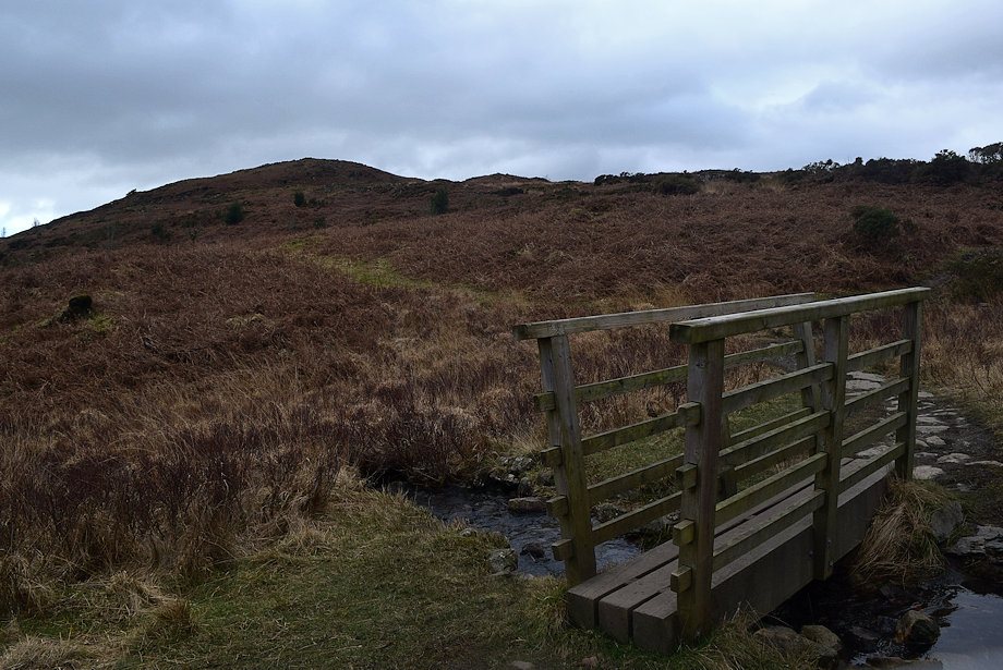
| The footbridge over Tarn Beck |
 |
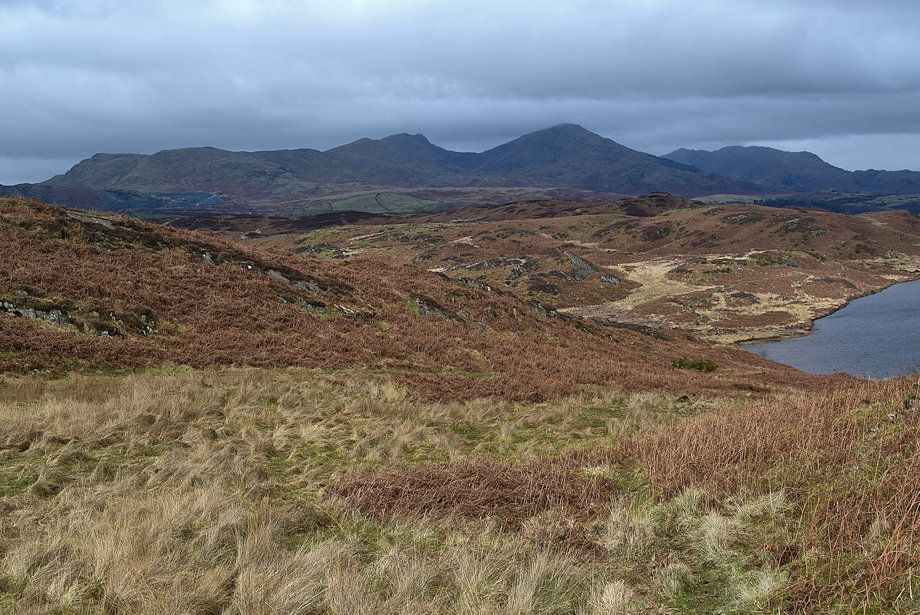
| Wool Knott from the footbridge over Tarn Beck |
 |
| The footpath turns to to the north west towards Beacon Tarn which is just over a quarter of a mile from the footbridge |
 |
| Looking back to Slatestone Felll |
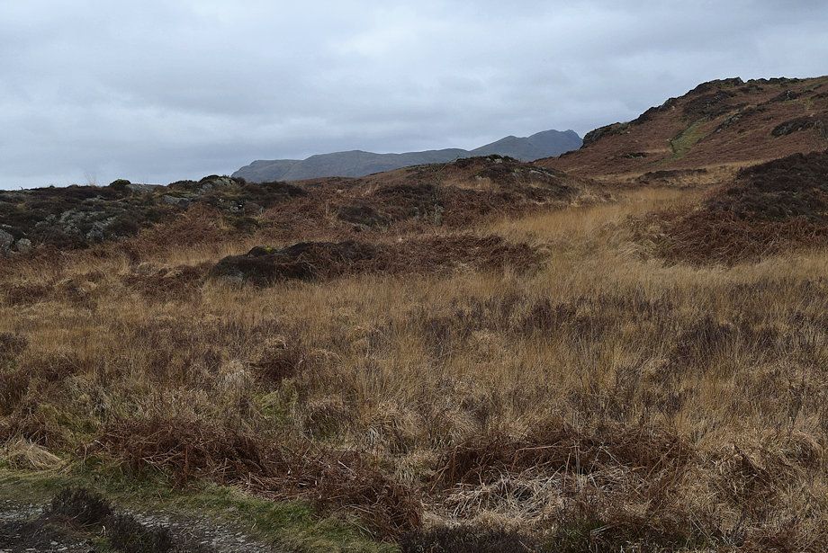 |
| Dow Crag appears across Beacon Fell as the path approaches the tarn |
 |
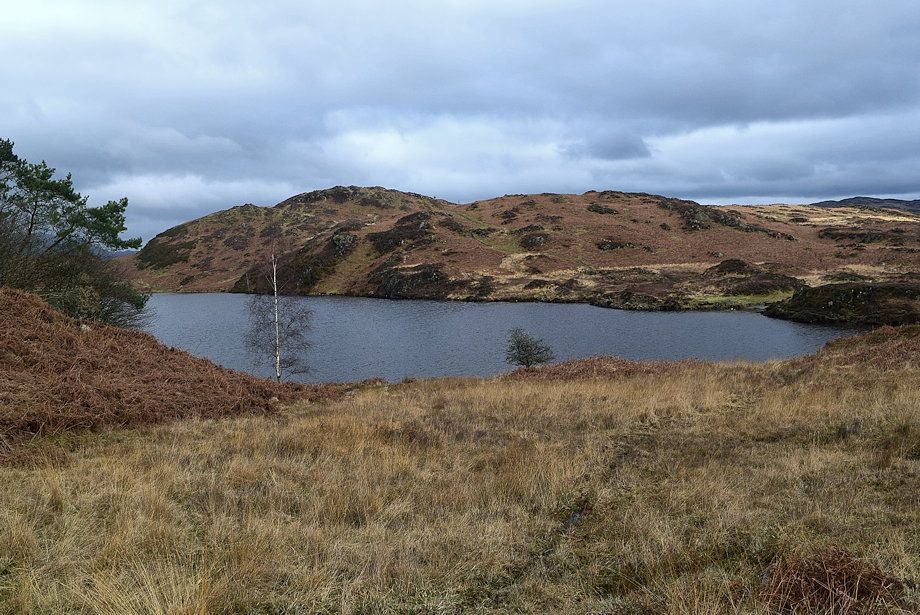
| Beacon Tarn |
 |
| Wool Knott from Beacon Tarn. The path passes over a low bank to join the Cumbria Way at the southern end of the tarn |
 |
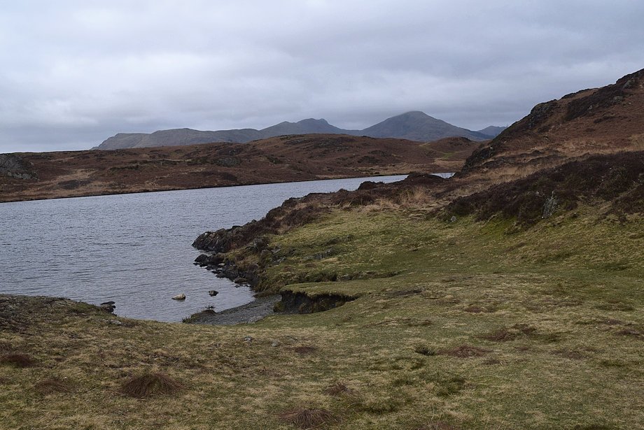
| Caw, White Pike, White Maiden, Walna Scar,Brown Pike, Buck Pike, Dow Crag and Coniston Old Man from the southern end of the tarn |
 |
| Top o' Selside from the southern end of the tarn |
 |
| Beacon Fell and Bleak Knott across Beacon Tarn |
 |
| The Cumbria Way, which runs alongside the western side of Beacon Tarn is only followed for a few yards before leaving it for a path which climbs up to the col between Wool Knott and Raise |
 |
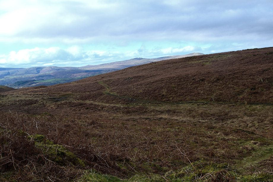
| Looking back from the path to the col |
 |
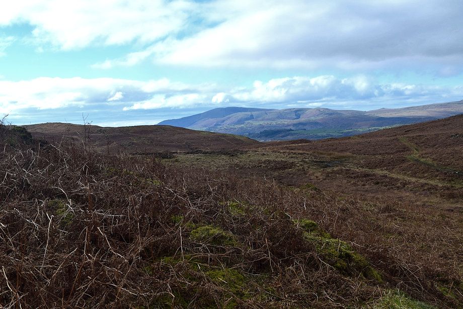
| Tottlebank Height from the path to the col |
 |
| Near the top of the col a path turns off to the left, crosses a short section of marshy ground, and climbs directly towards the depression between the twin tops of Wool Knott |
 |
| The Coniston Fells from the path to Wool Knott |
 |
| Beacon Fell and Bleak Kott from the path to Wool Knott |
 |
| Black Combe across the Wool Knott ~ Raise col |
 |
| Approaching the summit of Wool Knott |
 |
| Buck Barrow, Burn Moor and Whit Fell across the slopes of Raise |
 |
| The western top is the highest point of Wool Knott |
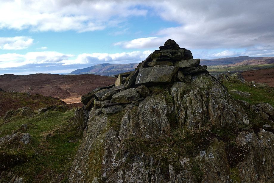 |
| The summit cairn on Wool Knott |
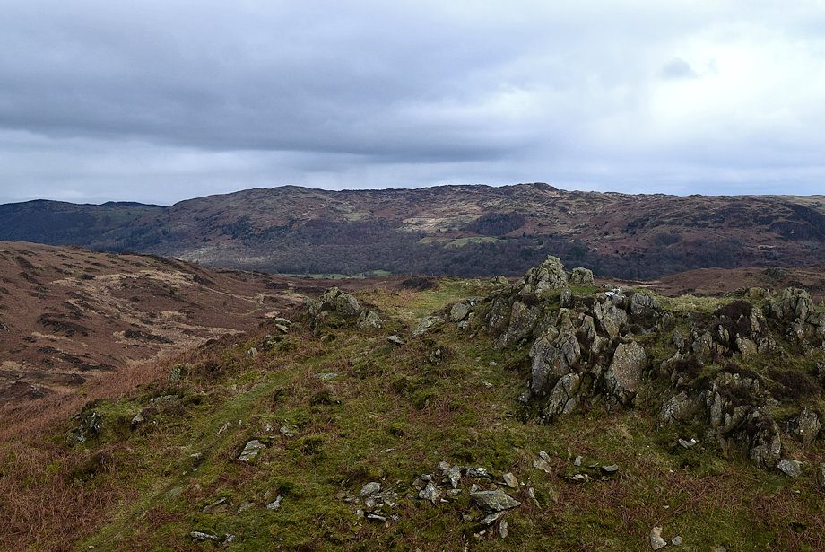 |
| Top o' Selside across the eastern top of Wool Knott |
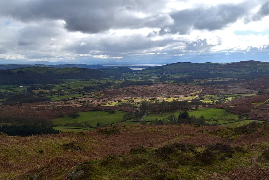 |
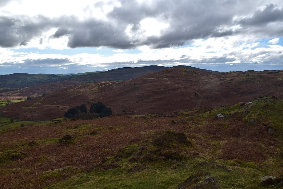
| The Crake Valley from the summit of Wool Knott |
 |
| Blawith Knott from the summit of Wool Knott |
 |
| Black Combe from the summit of Wool Knott |
 |
| Buck Barrow, Burn Moor and Whit Fell from the summit of Wool Knott |
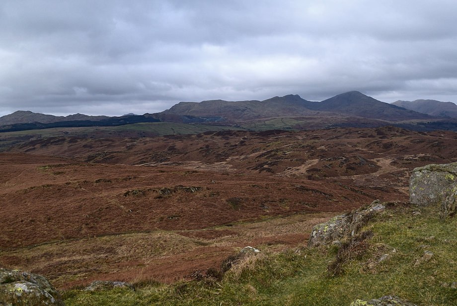 |
| The Coniston Fells from the summit of Wool Knott |
 |
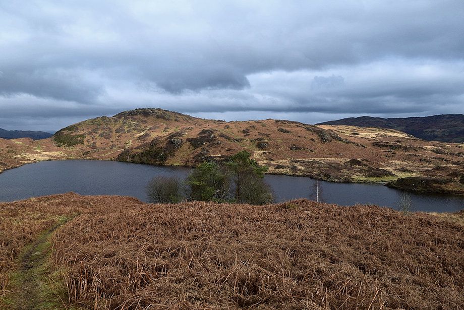
| Beacon Tarn from the summit of Wool Knott |
