 |
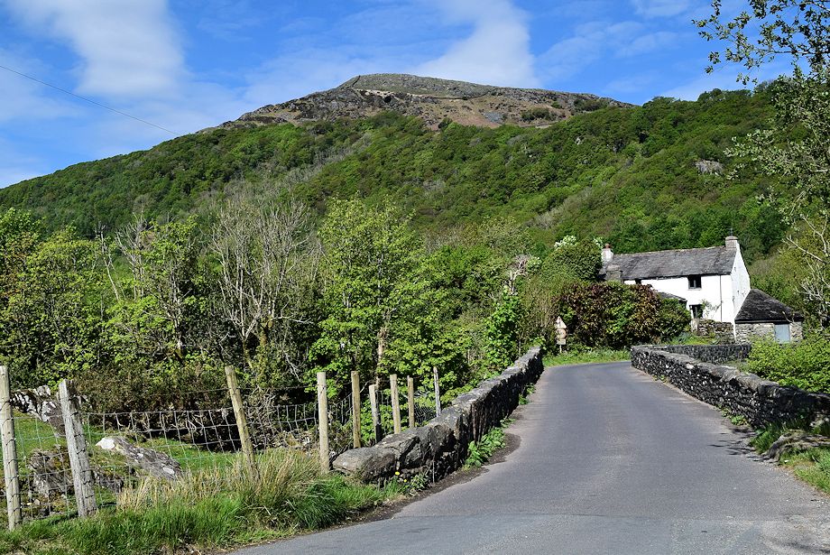
| Ulpha Bridge at the foot of The Pike, there are ample roadside spaces to park on the approach to the bridge |
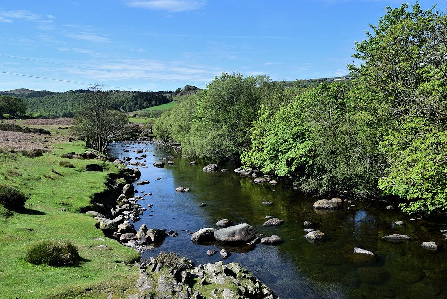 |
| The River Duddon from the bridge |
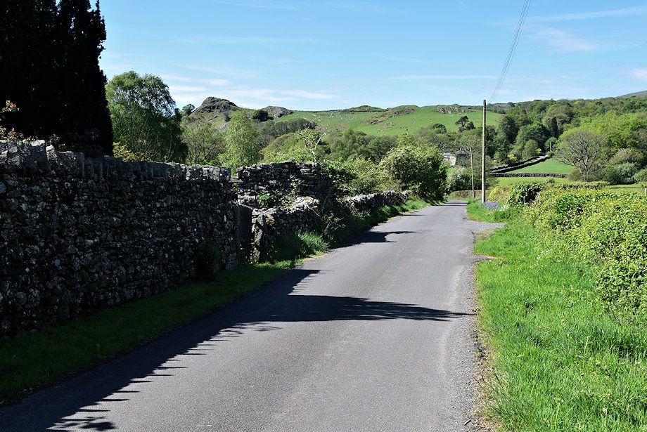 |
| Turning left past the bridge onto the lane which leads up Bobbin Mill Hill |
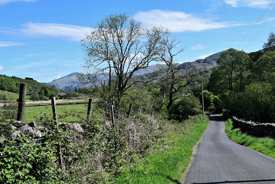 |
| Looking back from the foot of Bobbin Mill Hill |
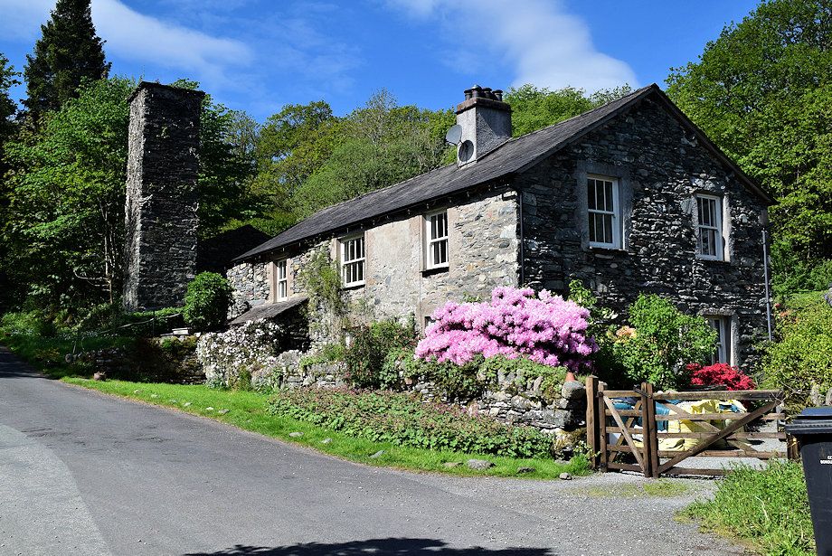 |
| Passing Bobbin Mill Cottages |
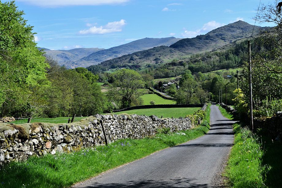 |
| Looking back from the cottages to Dow Crag, Coniston Old Man and Caw |
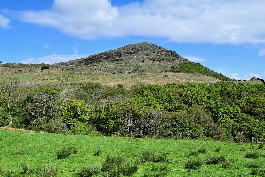 |
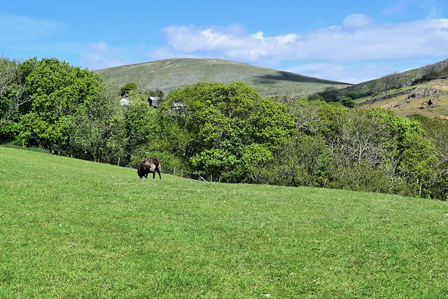
| The Pike from Bobbin Mill Hill |
 |
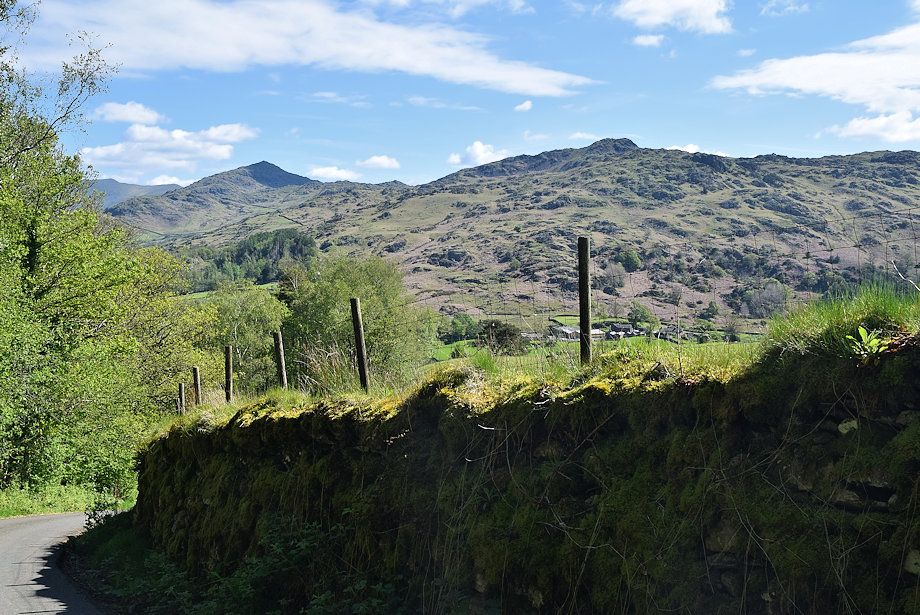
| Hesk Fell from Bobbin Mill Hill |
 |
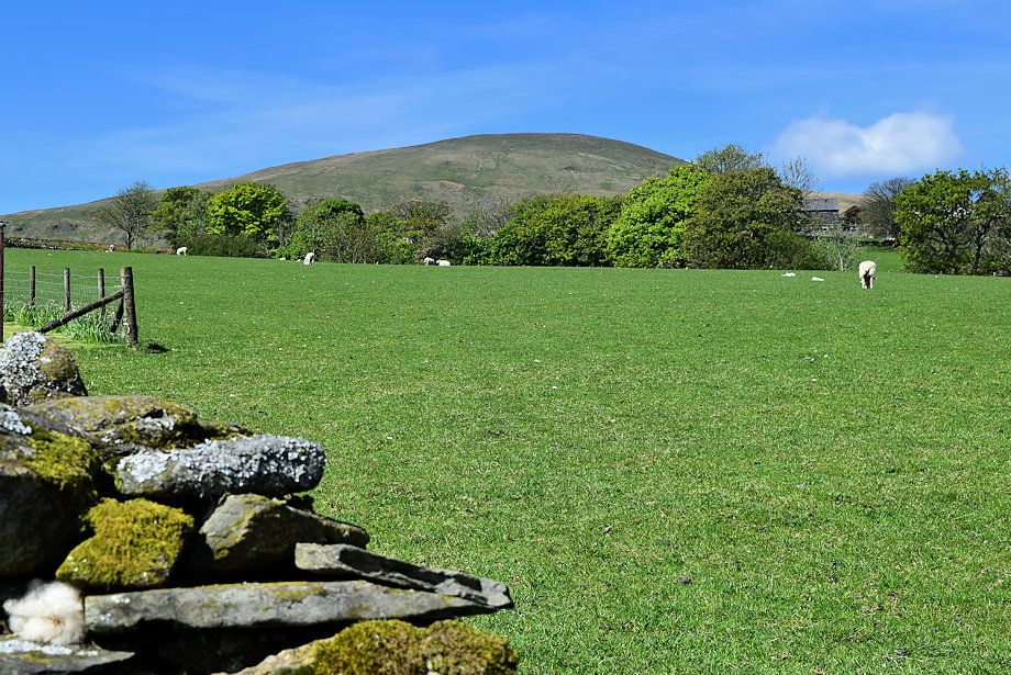
| Caw and Stickle Pike from Bobbin Mill Hill |
 |
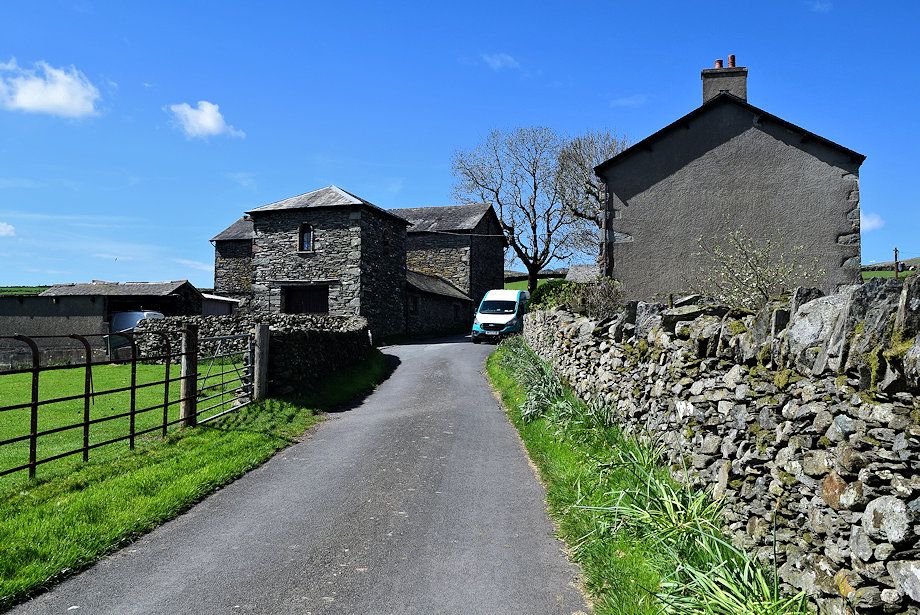
| Whitfell from Bobbin Mill Hill |
 |
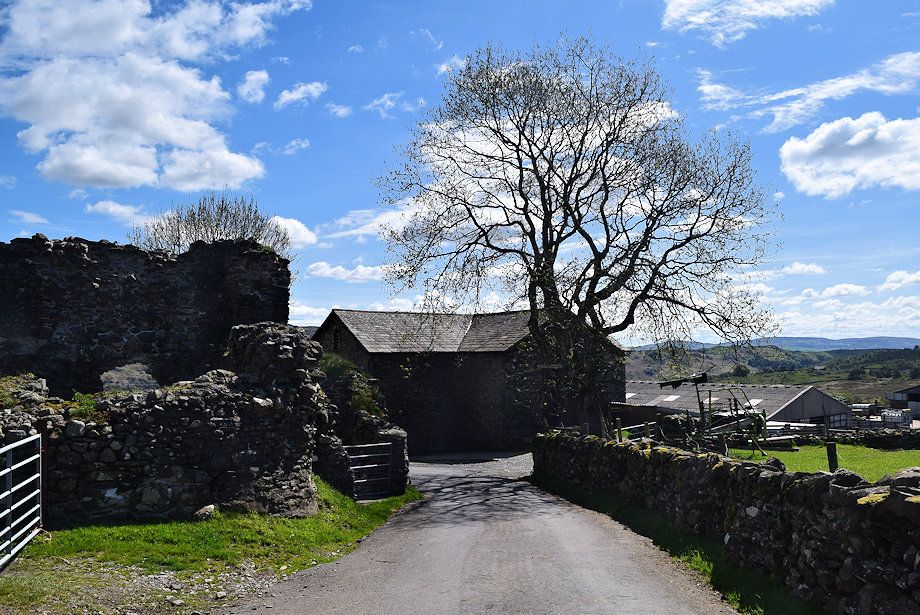
| Approaching Old Hall Farm |
 |
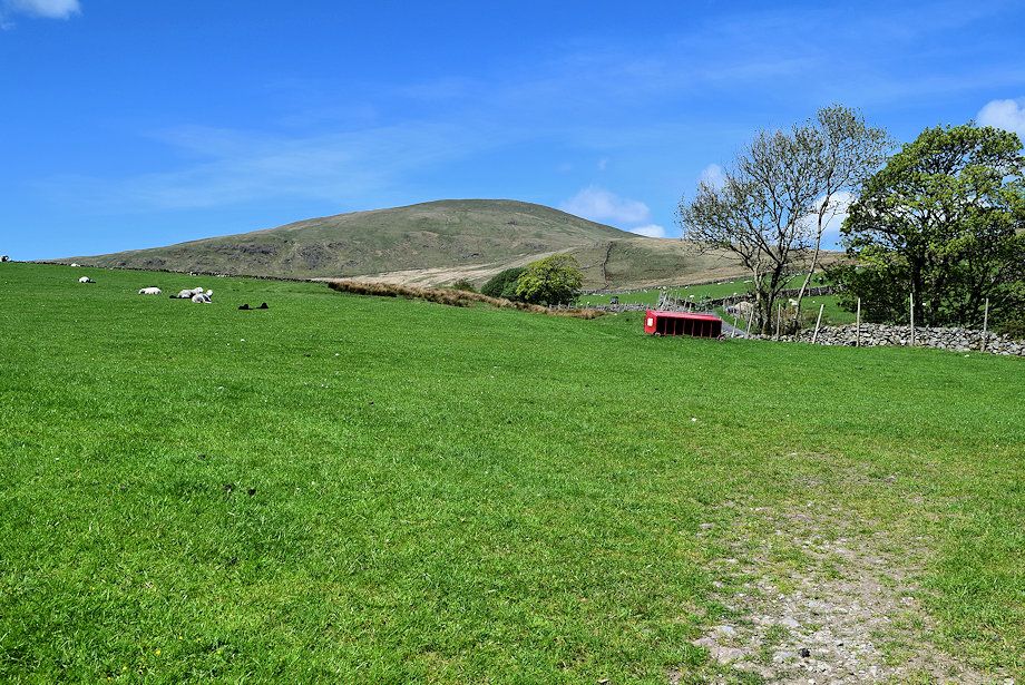
| Lookng back to Old Hall Farm |
 |
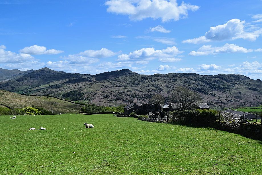
| Whitfell and Bigertmire Pasture fom above Old Hall Farm |
 |
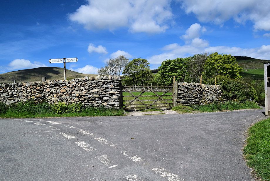
| The Dunnerdale Fells of Caw, Stickle Pike, Tarn Hill and Great Stickle from above Old Hall Farm |
 |
| We turn off the road at a junction, which is a 160 yards beyond Old Hall Farm, onto the lane leading to Hole House |
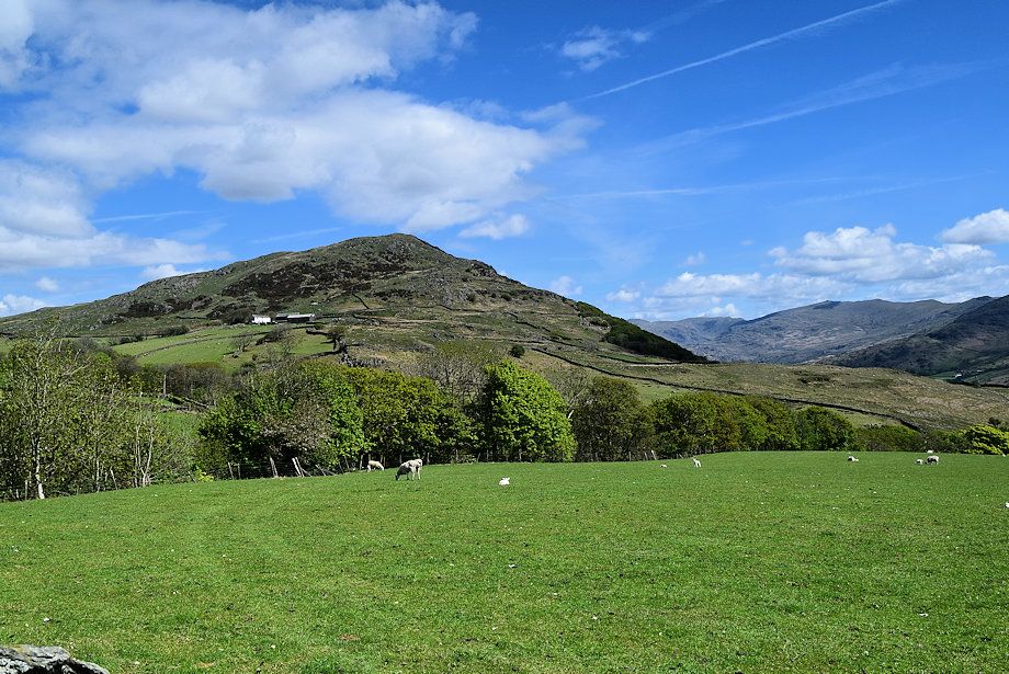 |
| Lookng over to The Pike from the Hole House junction |
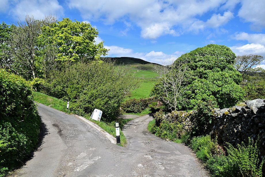 |
| The Hole House lane is only followed for 35 yards before turning off it uphill to Bigert Mire Farm |
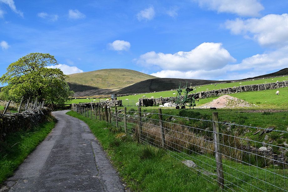 |
| Whitfell from the lane to Bigert Mire Farm |
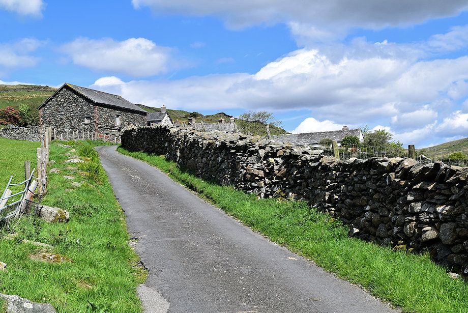 |
| Approaching Bigert Mire Farm |
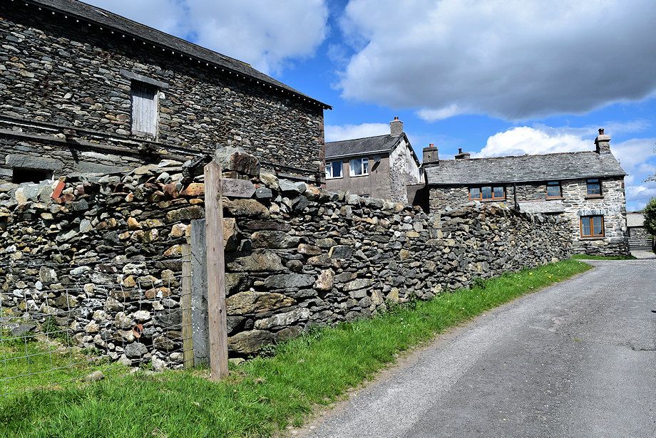 |
| A bridleway fingerpost points the way through the farmyard ..... |
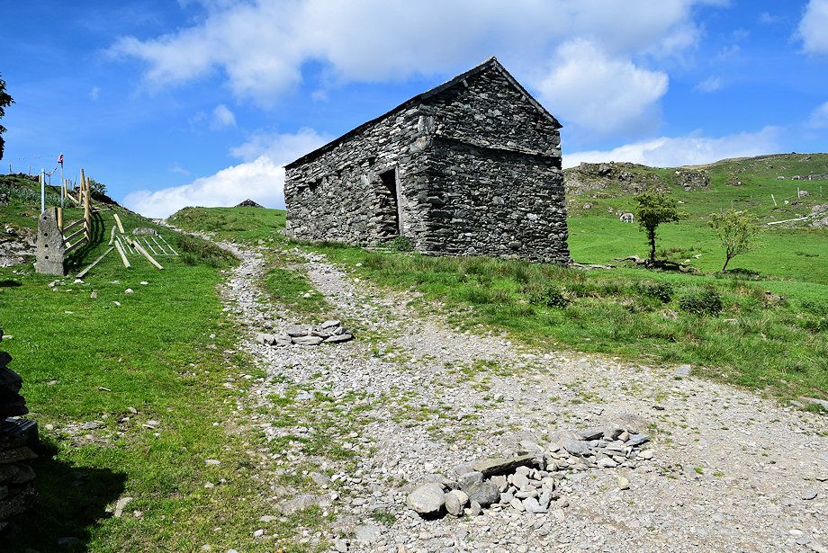 |
| ..... and onto a rough track which leads past two field barns |
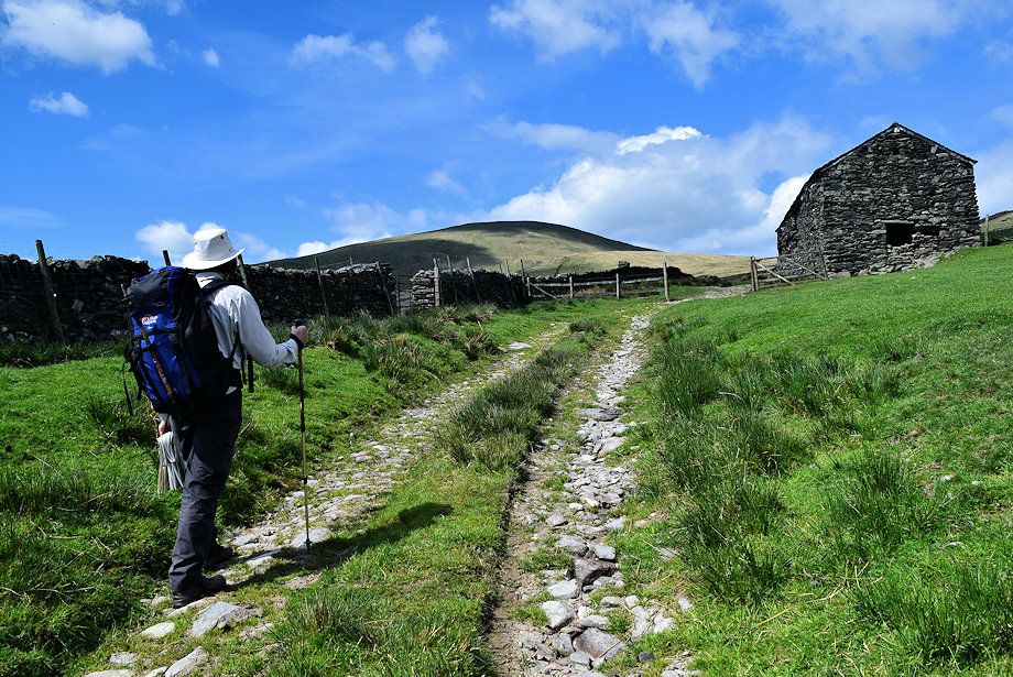 |
| Approching the second field barn |
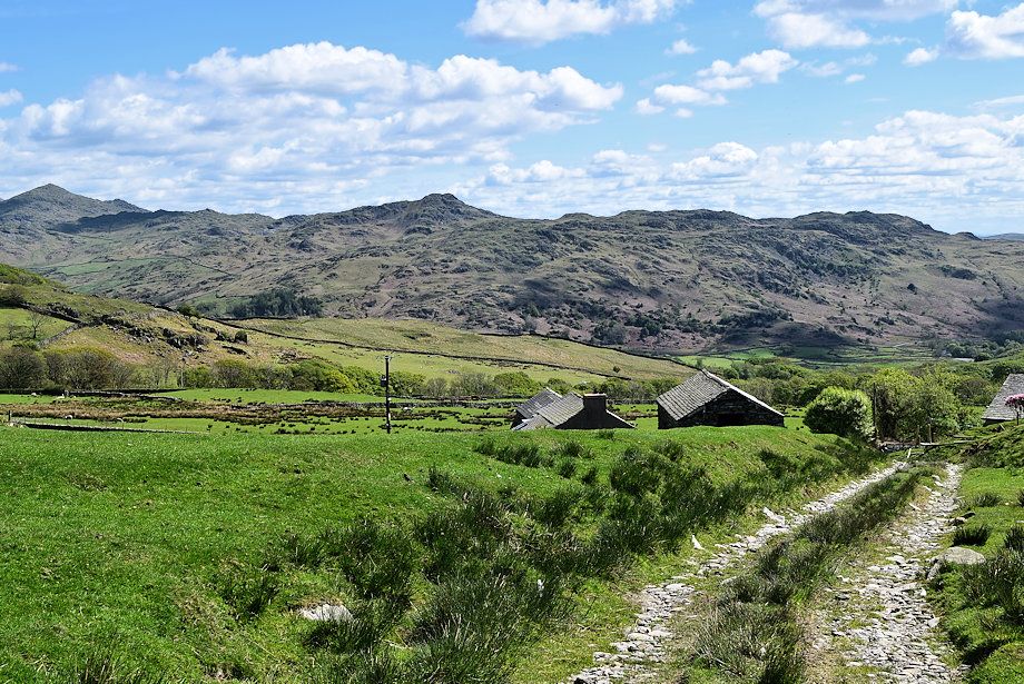 |
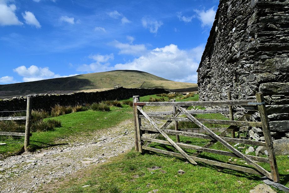
| Looking back to the Dunnerdale Fells |
 |
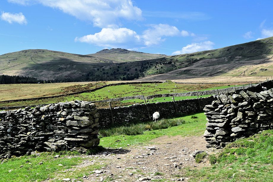
| Whitfell from the second field barn |
 |
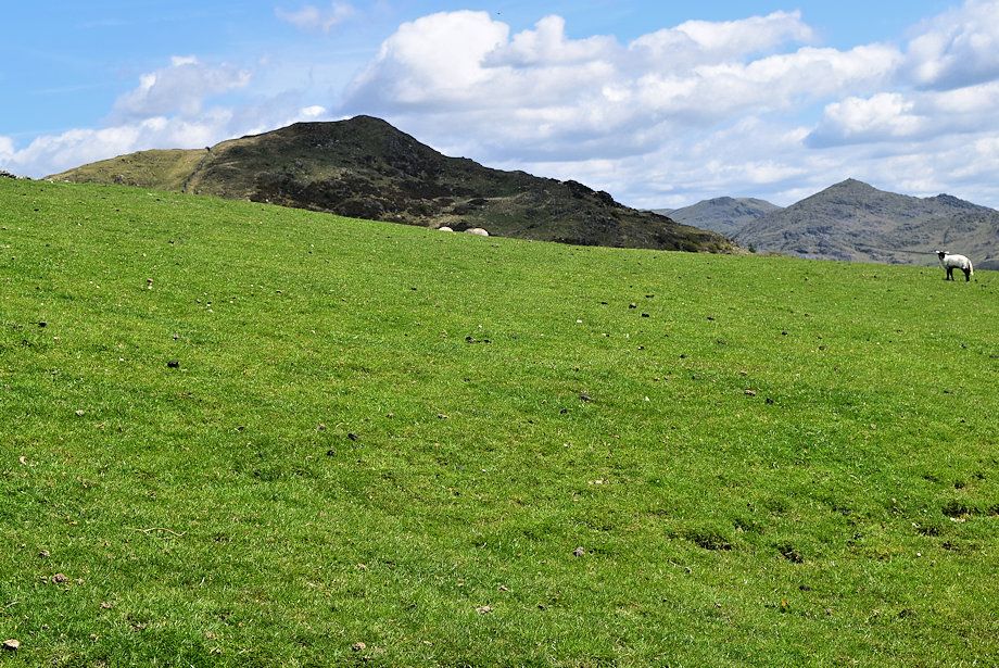
| Plough Hill and Buck Barrow from the second field barn |
 |
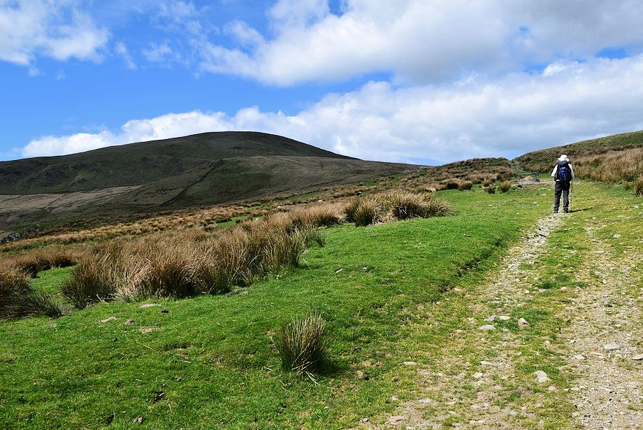
| The Pike and Caw from the second field barn |
 |
| The rough track continues on towards Bigertmire Pasture |
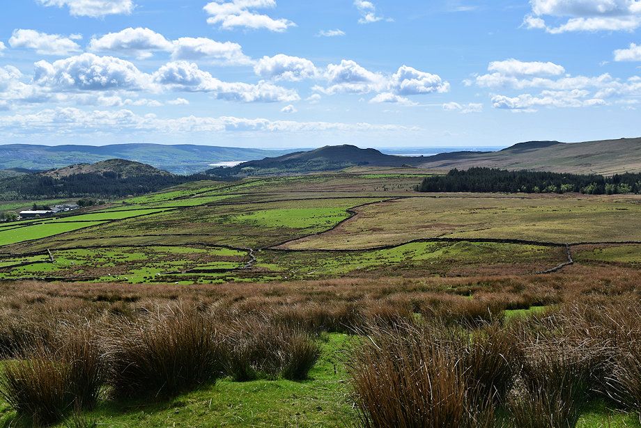 |
| Looking over towards The Duddon Estuary |
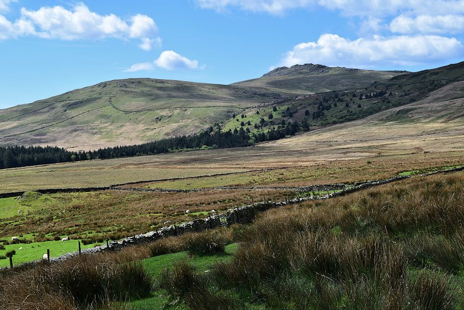 |
| Plough Hill and Buck Barrow from Bigertmire Pasture |
 |
|
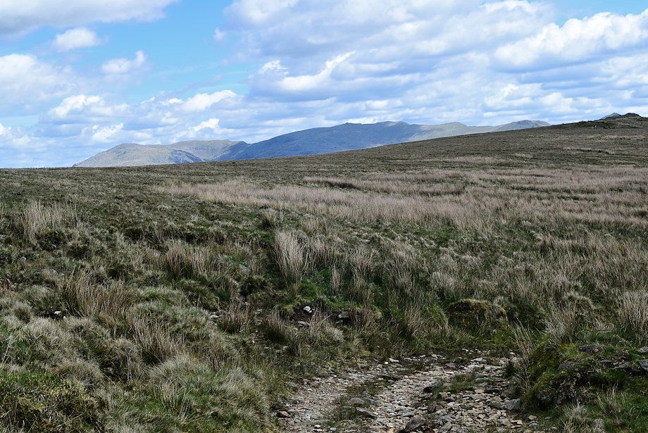
The Coniston Fells over Bigertmire Pasture as the rough track comes to an end
|
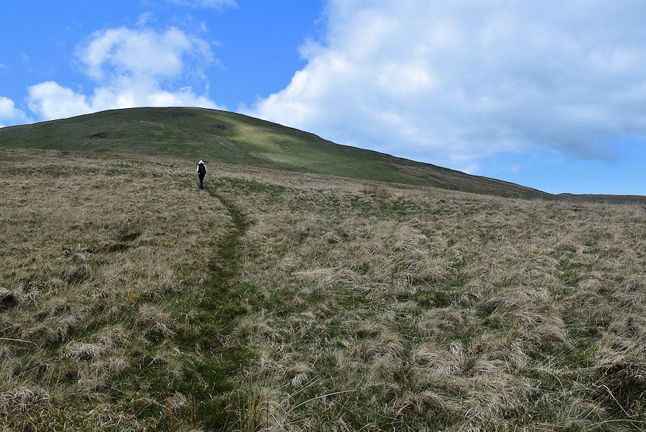 |
| The bridleway continues as a clear footpath |
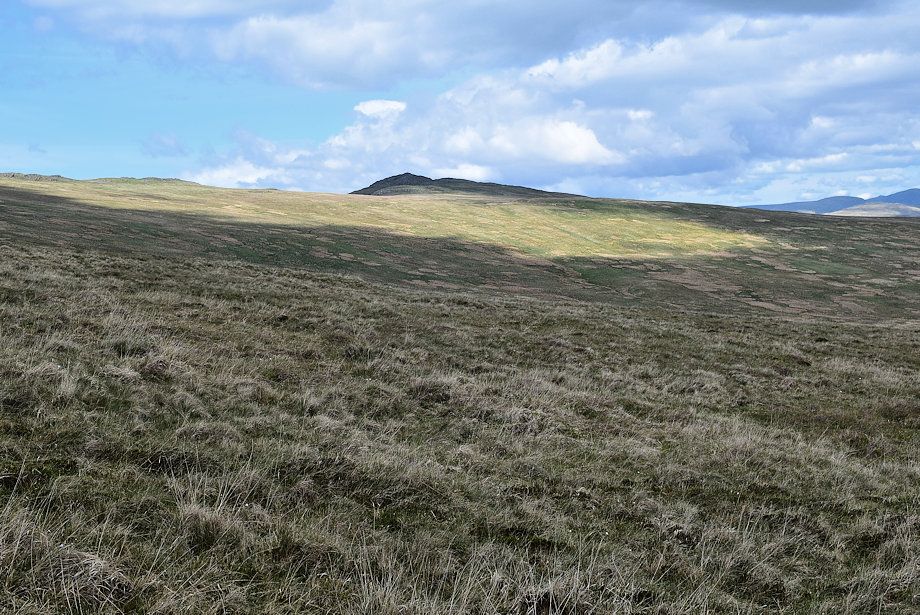 |
| Looking across to Stainton Pike |
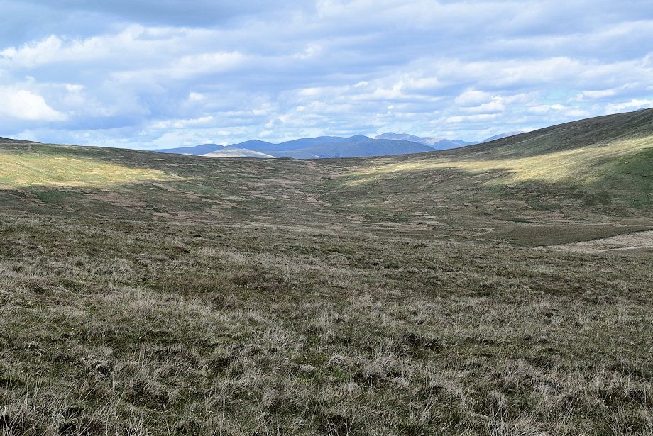 |
| The Ennerdale Fells of Caw Fell, Haycock, Scoat Fell, Red Pike and Pillar over the head of the Holehouse Gill valley |
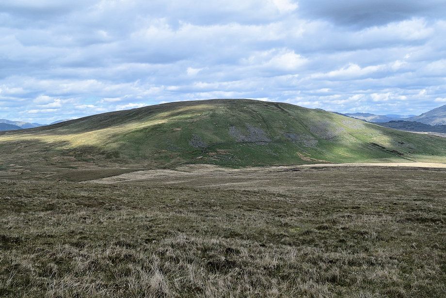 |
| Hesk Fell across the Holehouse Gill valley |
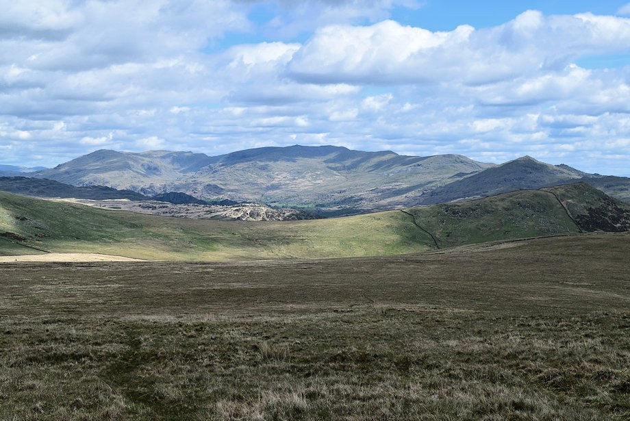 |
| The Coniston Fells over Tth Pike ~ Hesk Fell col from Bigertmire Pasture |
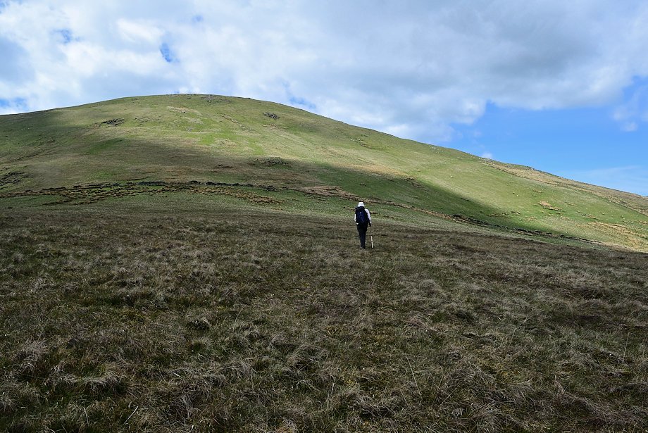 |
| Approaching the Bigertmire Pasture intake fence and wall |
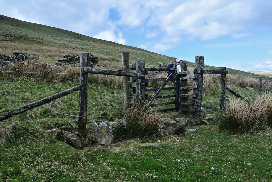 |
| The bridleway passes through a handgate in the fence |
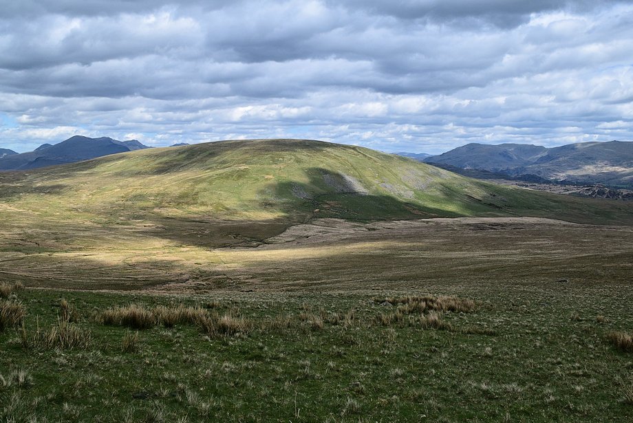 |
| Hesk Fell from the handgate |
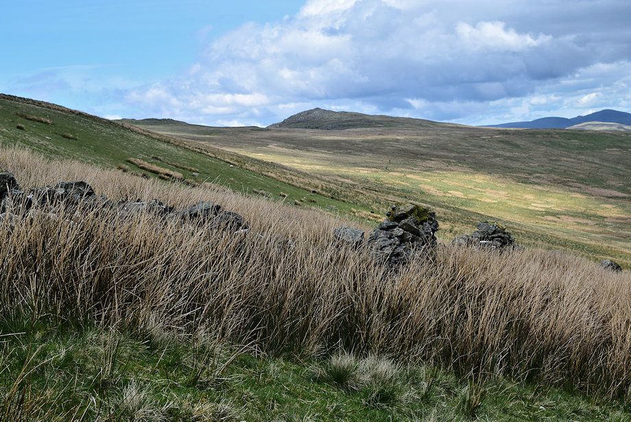 |
| Stainton Pike from the ruined intake wall |
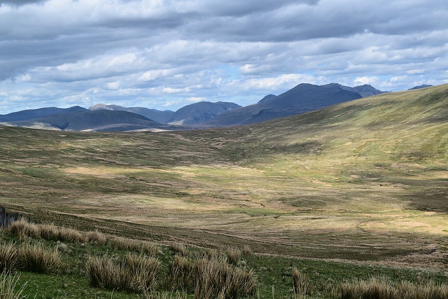 |
| The view north from the intake wall, Scoat Fell, Red Pike, Pillar, Crag Hill, Sail, Kirk Fell, Great Gable. Scafell, Scafell Pike, Ill Crag and Esk Pike form the horizon |
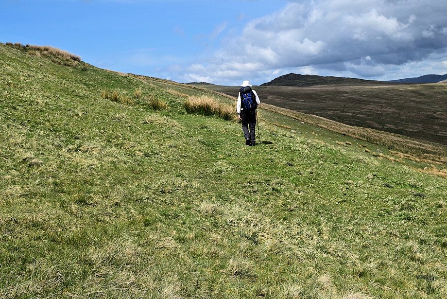 |
| The bridleway continues on from the intake wall on a rising traverse over Whitfell's north-western slopes |
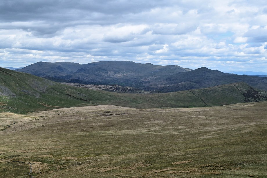 |
| The Coniston Fells from Whitfell's north-western slope |
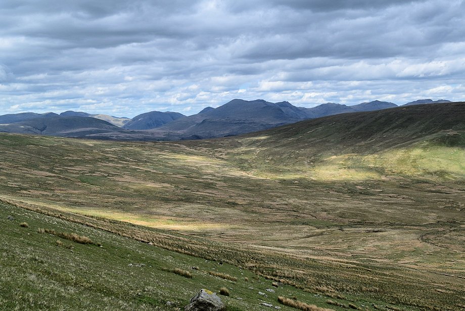 |
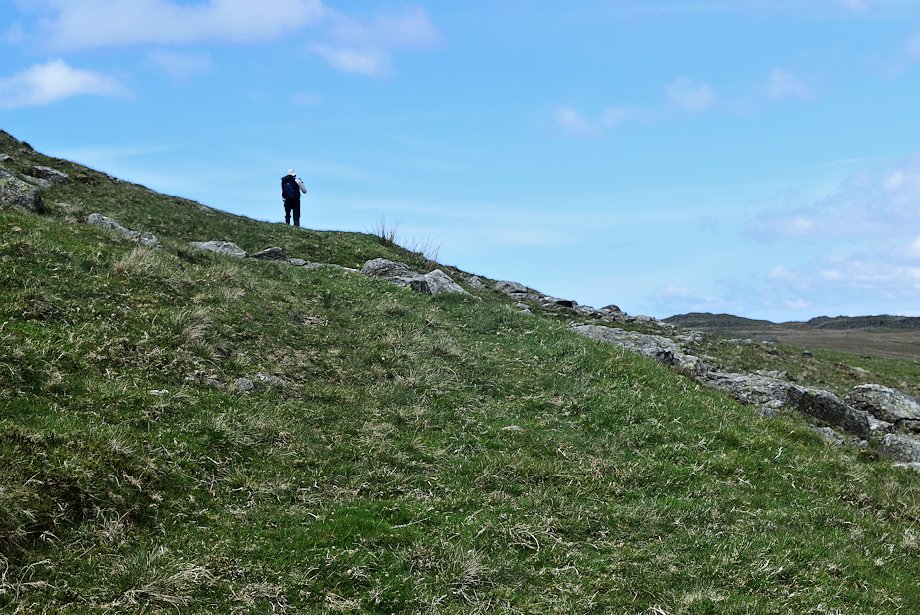
| As height is gained Bowfell and Crinkle Crags appear on the right over Hesk Fell |
 |
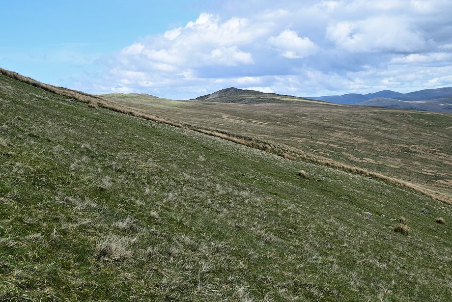
| The steep rising traverse begins to ease off as it nears the watershed between Whitfell and Stainton Pike |
 |
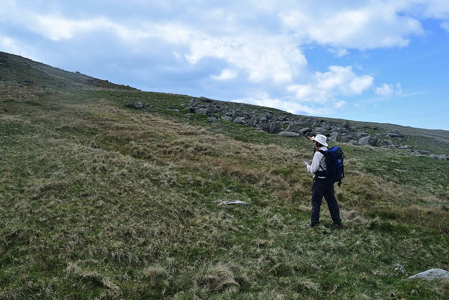
| Fox Crags and Stainton Pike from the bridleway |
 |
| There's no need to continue on the bridleway all the way to the watershed, we leave it for an indistinct path which climbs Whitfell's northern slope |
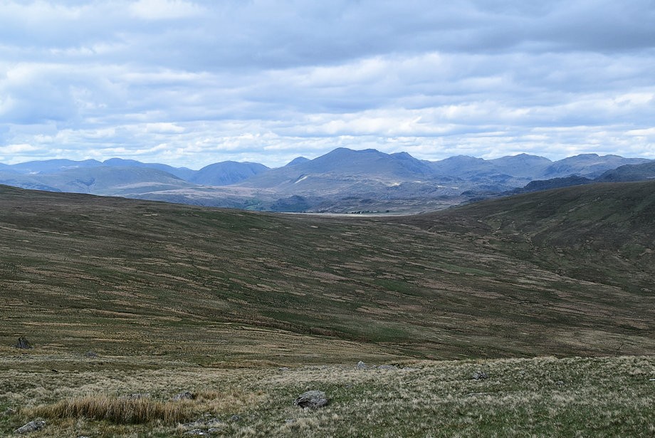 |
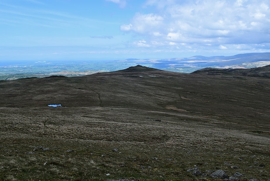
| The Scafells from the start of the path to the summit |
 |
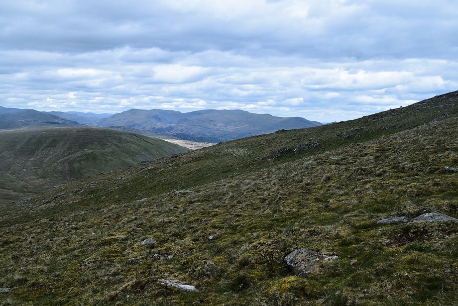
| Stainton Pike from the path to the summit |
 |
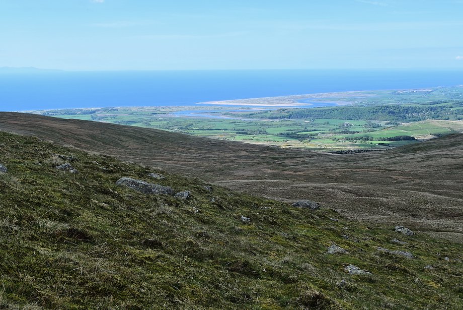
| The Coniston Fells from the path to the summit |
 |
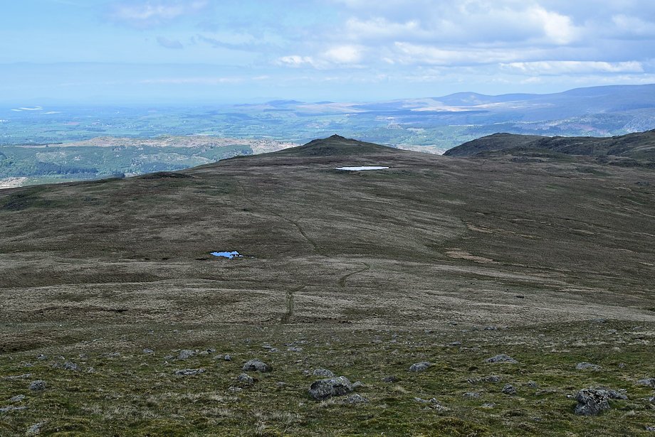
| The Irt and Esk Estuary at Ravenglass |
 |
| Stainton Pike and Holehouse Tarn |
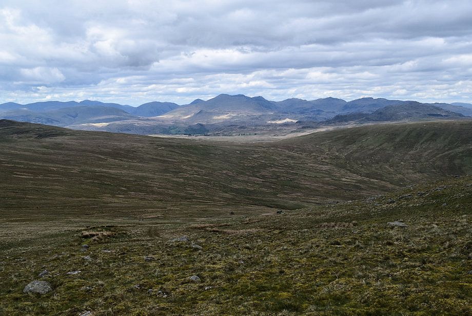 |
| Looking back to the Scafells from just below the summit |
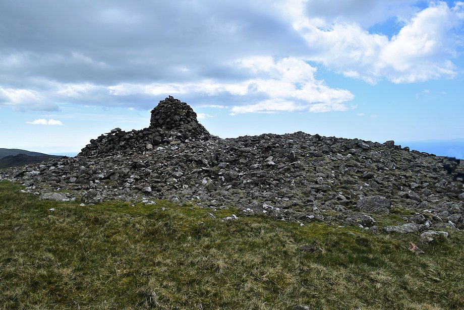 |
| Approaching the ancient tumulus on the summit of Whitfell |
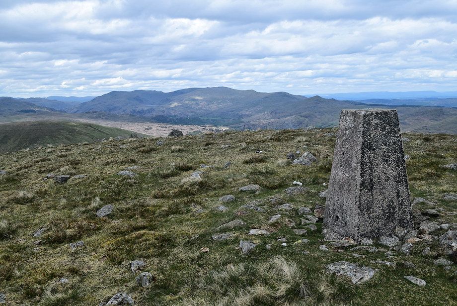 |
| The trig column on Whitell |
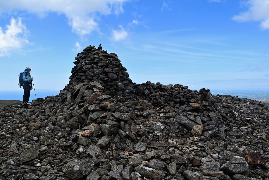 |
| The summit cairn and windshelter |
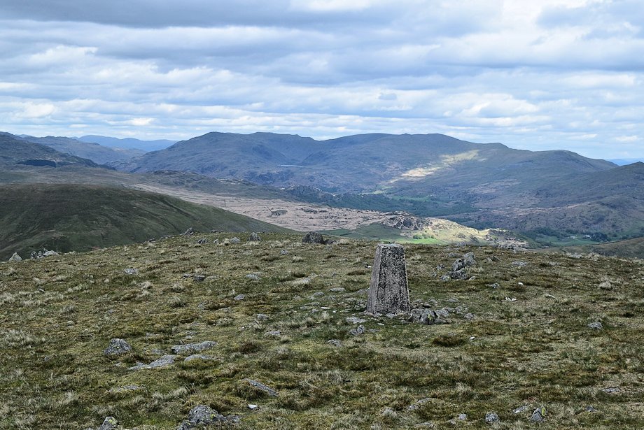 |
| The Coniston Fells of Grey Friar, Great Carrs, Swirl How, Brim Fell, Dow Crag, Coniston Old Man, Brown Pike, Walna Scar and White Maiden from the summit of Whitfell |
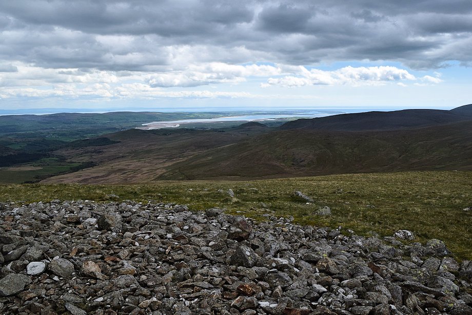 |
| The Duddon Estuary from the summit of Whitfell |
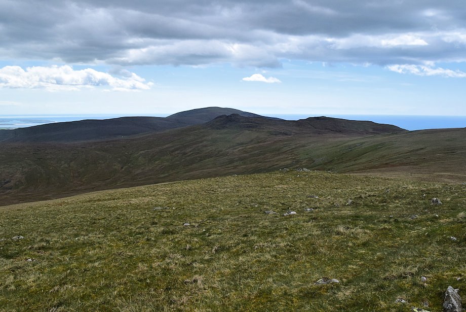 |
| Black Combe across Buck Barrow, Great Paddy Crag and Kinmont Buck Barrow from the summit of Whitfell |
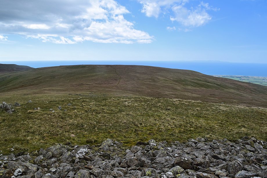 |
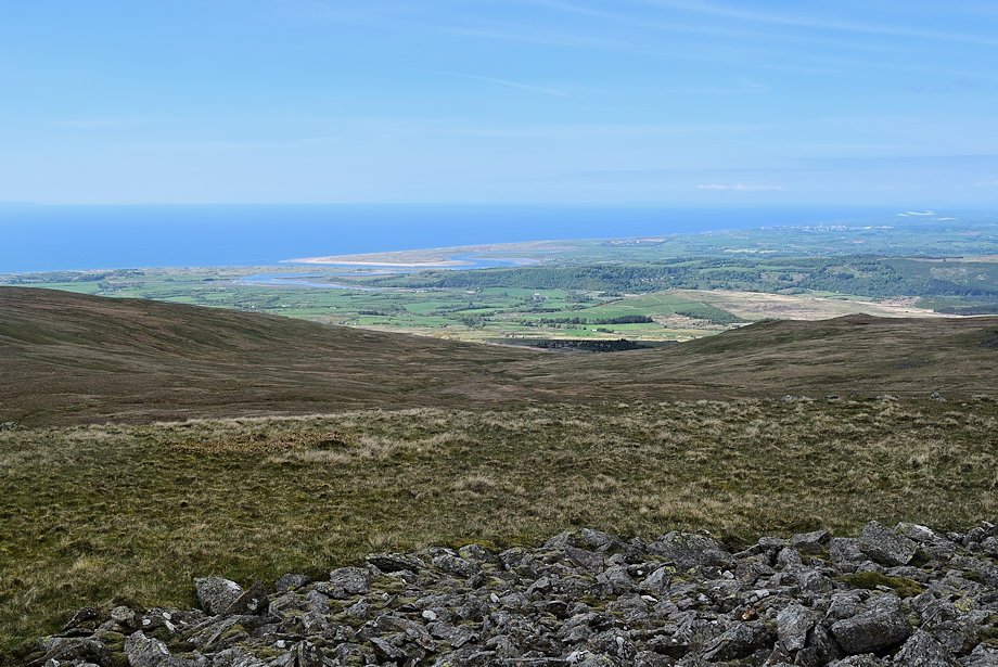
| Burn Moor from the summit of Whitfell |
 |
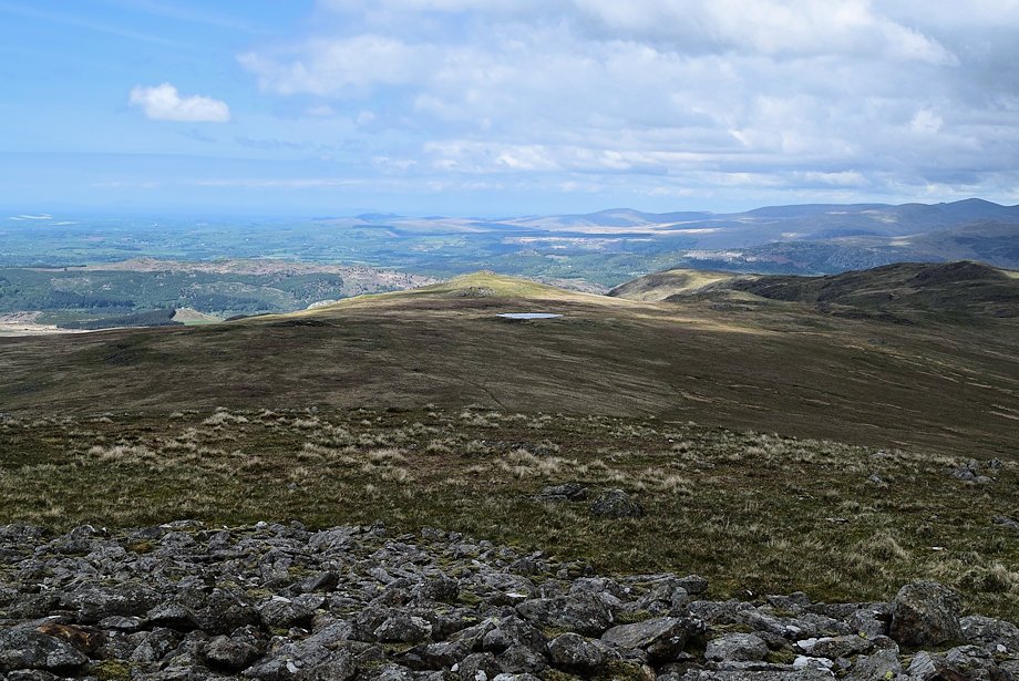
| The West Cumberland Coast from the summit of Whitfell |
 |
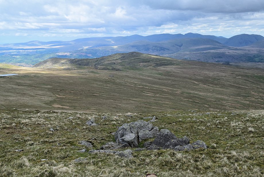
| Stainton Pike in the middle distance from the summit of Whitfell |
 |
| White Pike, Woodend Height and Yoadcastle in the middle distance. Lank Rigg, Whoap, Caw Fell, Haycock, Scoat Fell, Red Pike, Pillar, Crag Hill, Sail and Kirk Fell form the horizon |
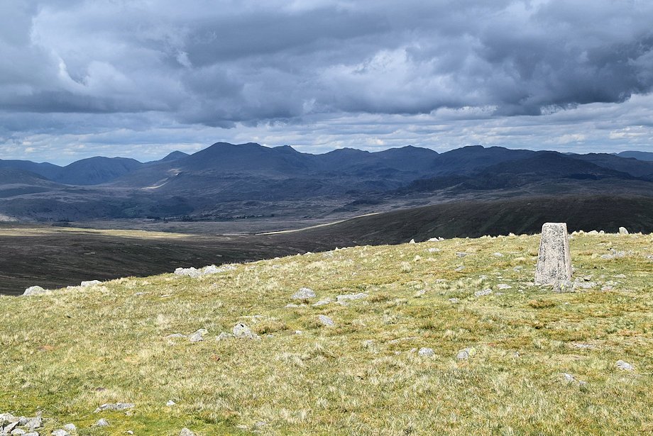 |
| Kirk Fell, Great Gable, Scafell, Scafell Pike, Ill Crag, Esk Pike, Bowfell, Crinkle Crags, Cold Pike and Fairfield form the horizon from the summit of Whitfell |