 |
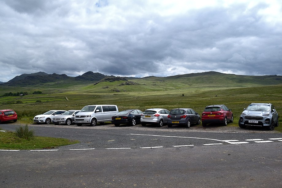
| The walk starts from the access lane to High Ground Farm where there is room to park cars on its verge |
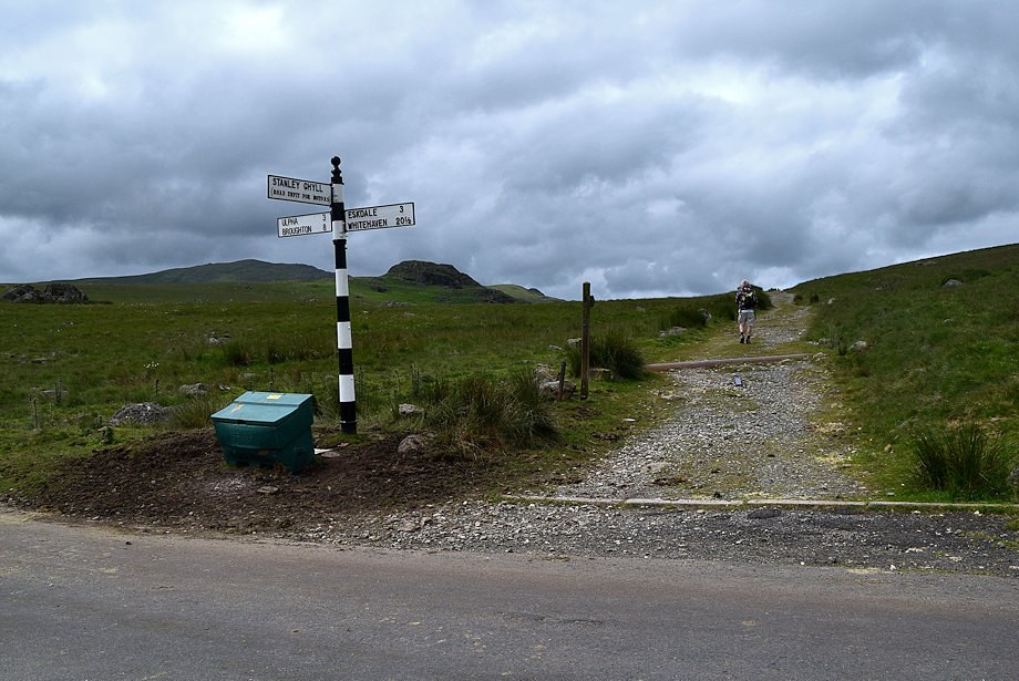 |
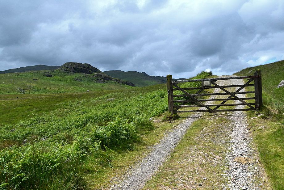
| Directly opposite the car parking area is the start of the bridleway track to Devoke Water |
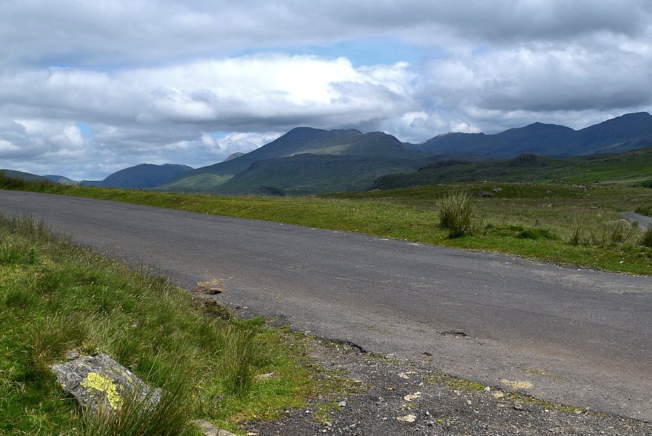 |
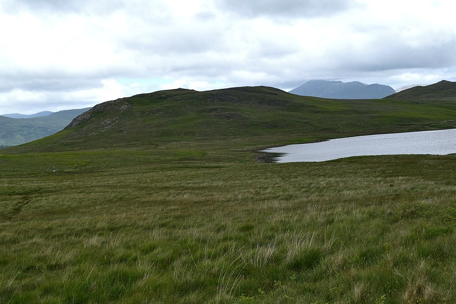
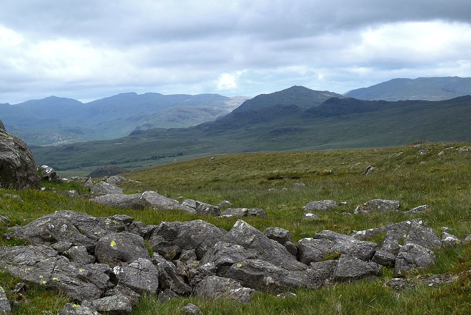
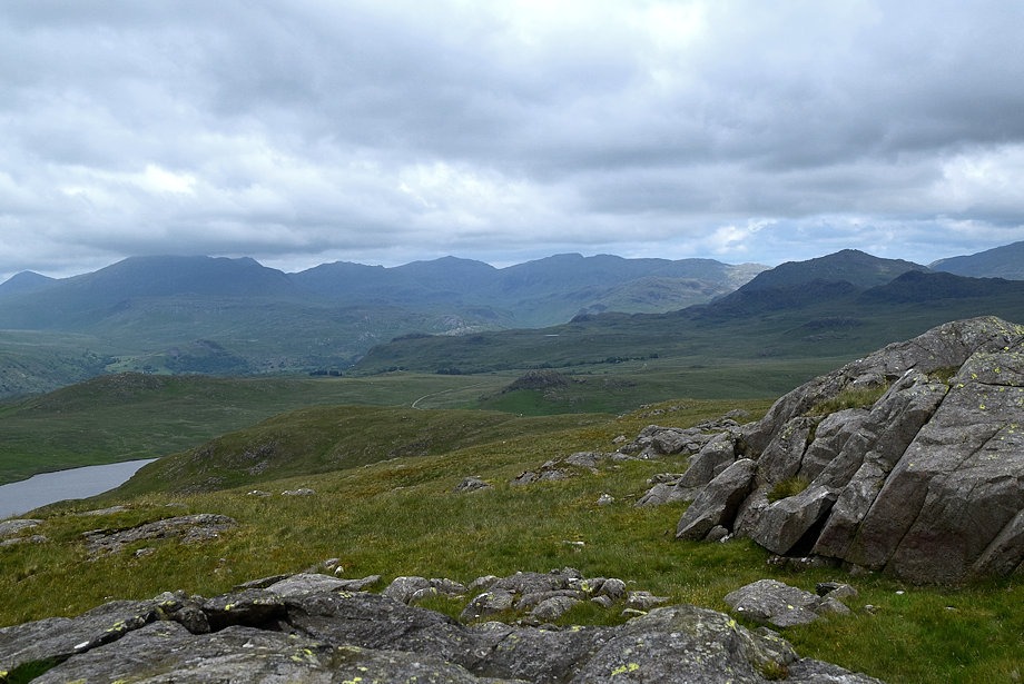
| The Scafell group of fells from the start of the bridleway track |
 |
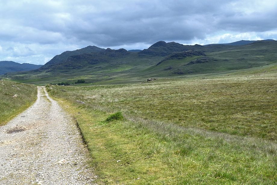
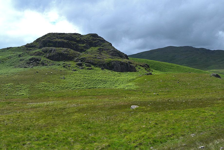
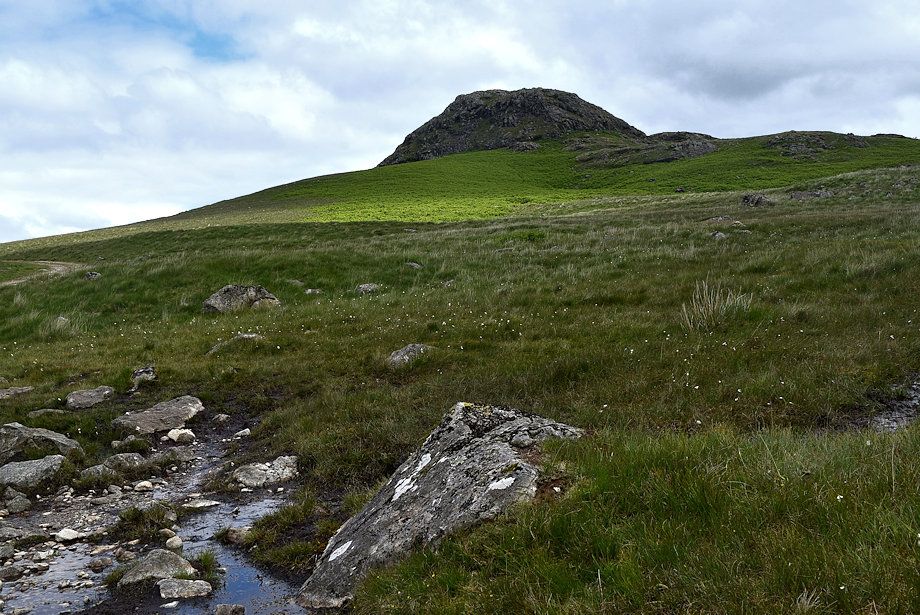
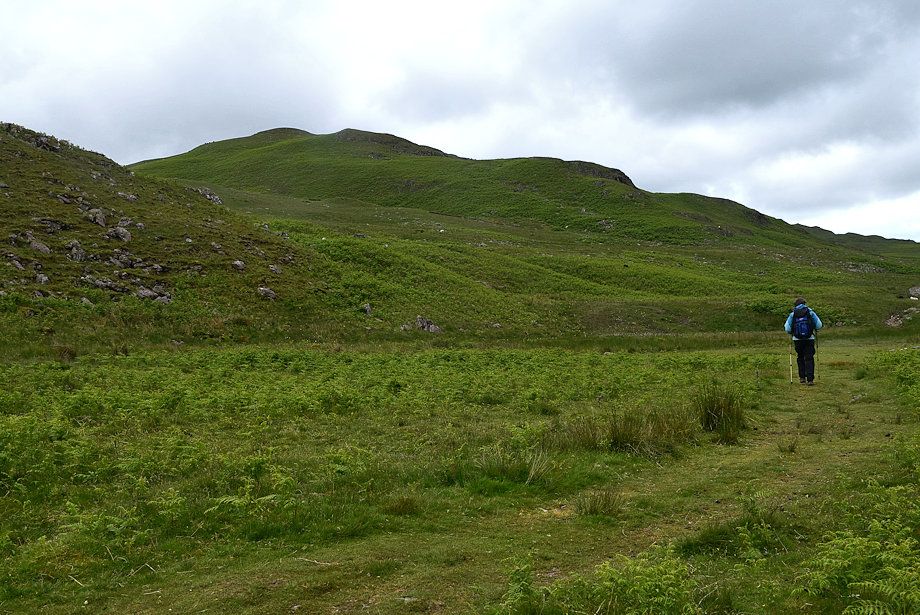
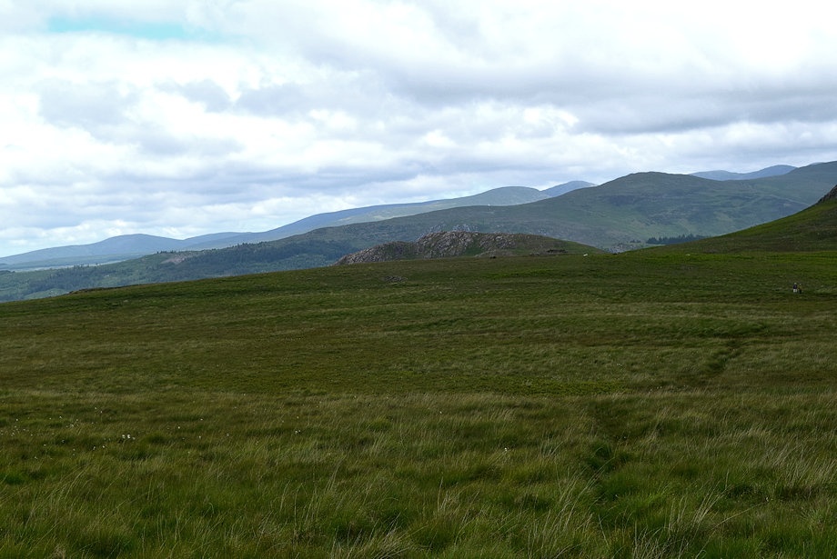
| Great Worm Crag from the bridleway track |
 |
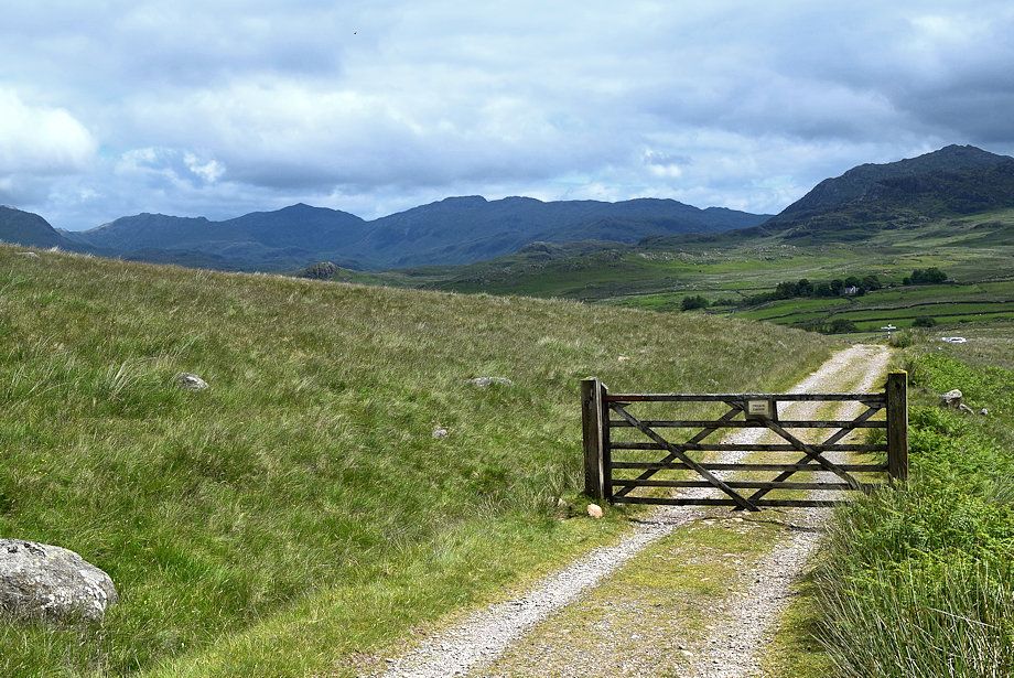
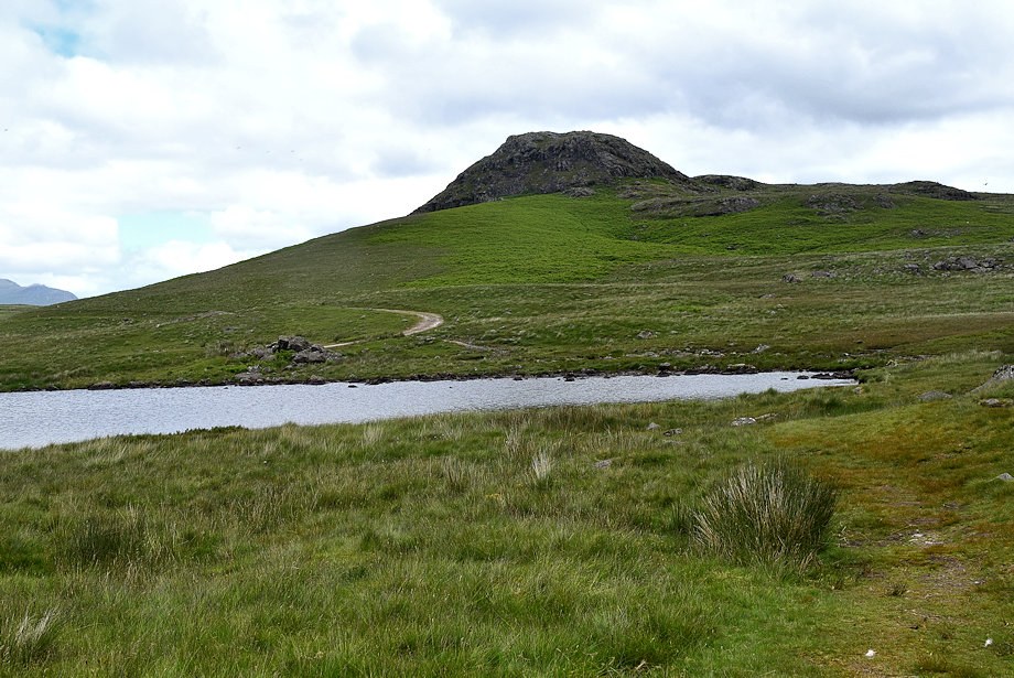
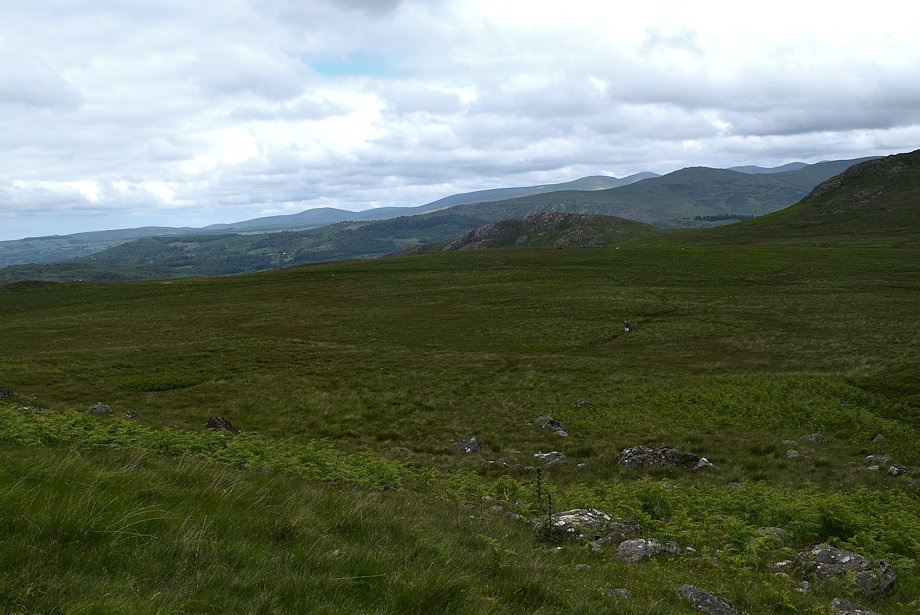
| Seat How and White Pike from the gate on the bridleway track |
 |
| Looking back to Esk Pike, Bowfell and Crinkle Crags with Harter Fell on the right |
 |
| Harter Fell over Crook Crag with Green Crag to the right |
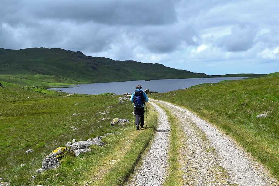 |
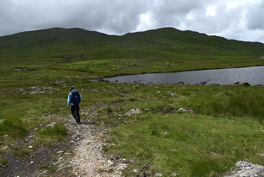
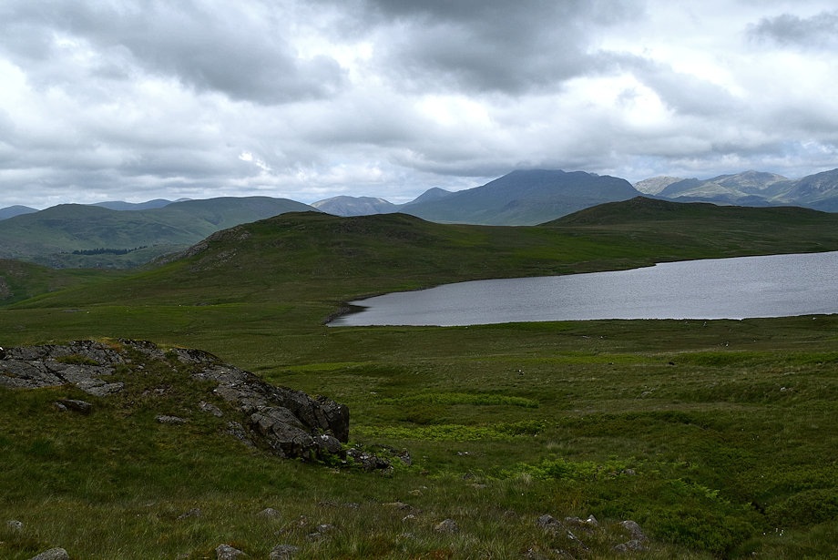
| Devoke Water comes into view |
 |
| Seat How and Woodend Height from the bridleway |
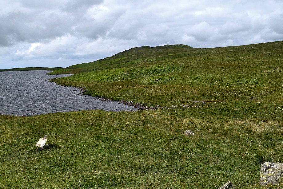 |
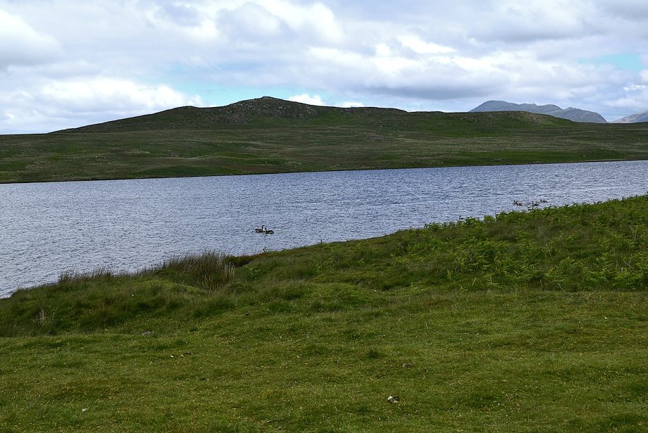
| Water Crag from the eastern end of Devoke Water |
 |
| Woodend Height and White Pike from the bridleway track leading to the boathouse |
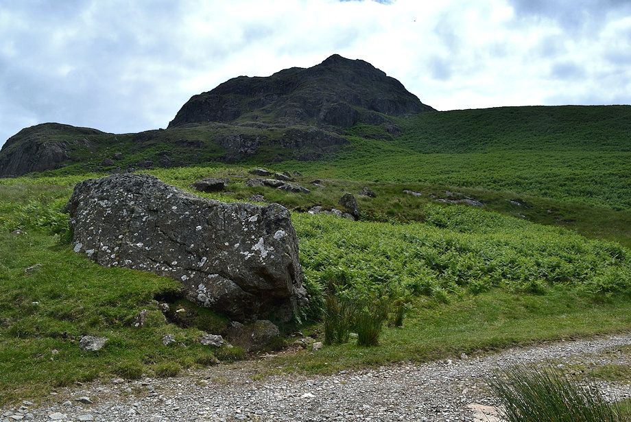 |
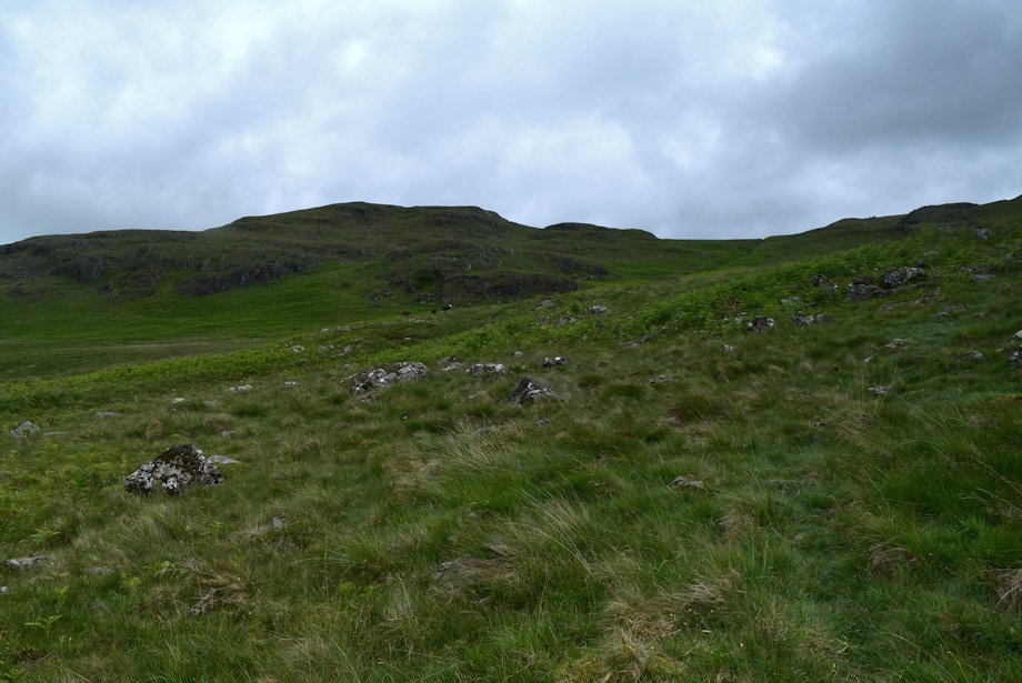
| Passing below the crags of Seat How |
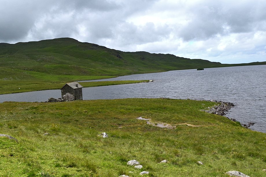 |
| The boathouse from Boat Wyke |
 |
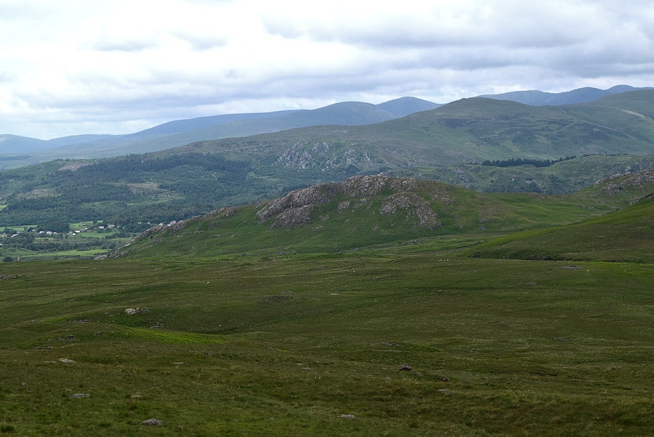
| Looking over to Woodend and Hesk Fell |
 |
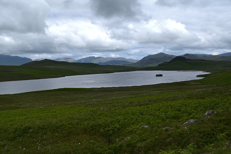
| Water Crag across Devoke Water |
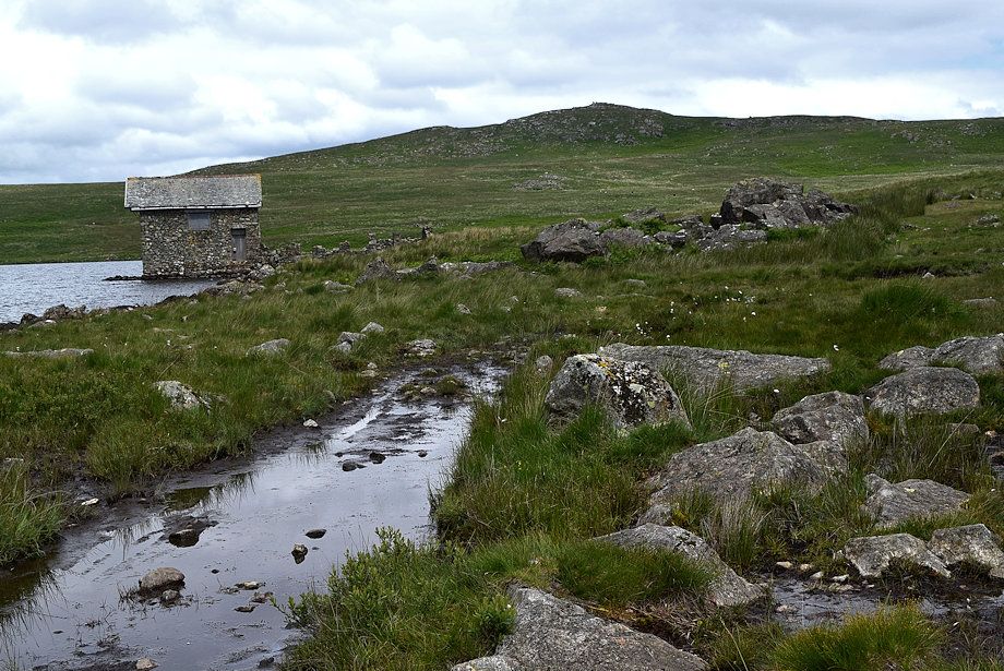 |
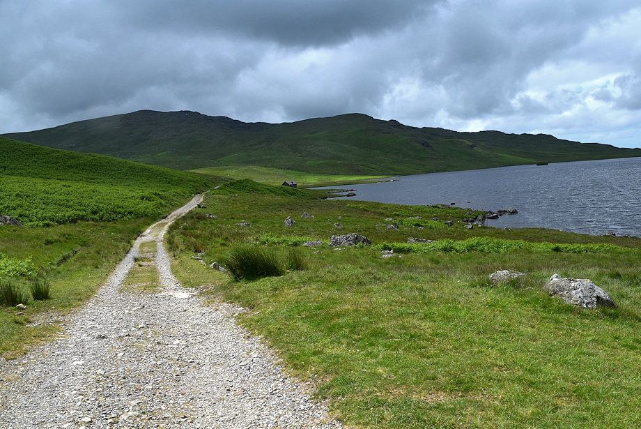
| The wide track ends at the boathouse, a bridleway path (wet in places) continues along the southern side of Devoke Water |
 |
| Looking back to Seat How from the path |
 |
| Woodend Height and White Pike from the bridleway path as it approaches Washfold Point |
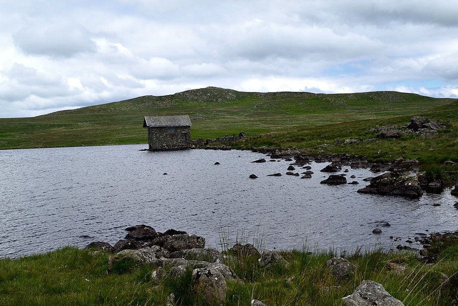 |
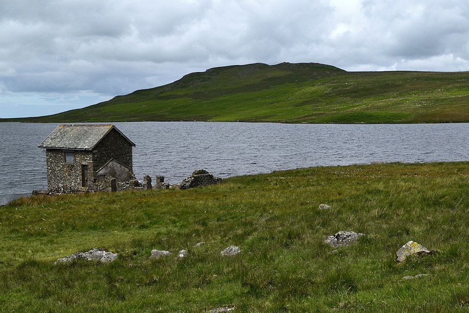
| The two story boathouse which was built in 1777 to replace an earlier one which was located further to the north |
 |
| White Pike from Washfold Point |
 |
| Seat How and The Seat from Washfold Point |
 |
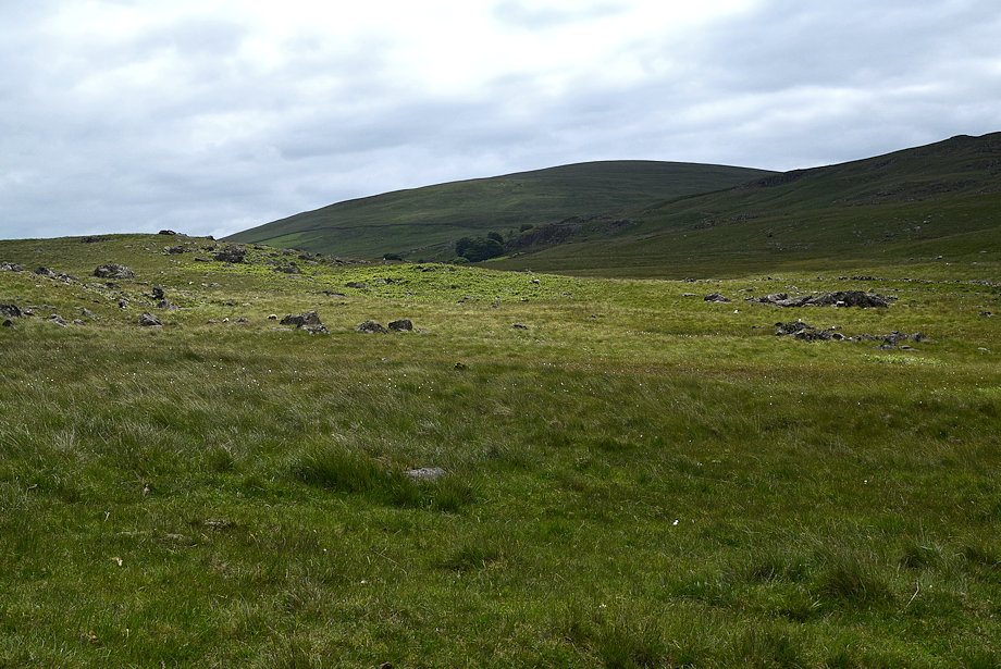
| White Crag from the path along The Wyke, we will leave it in a few hundred yards to avoid some wet ground ahead and begin a pathless traverse across the northern slopes of Stord's Hill to hopefully intercept a path which rises from the western end of Devoke Water |
 |
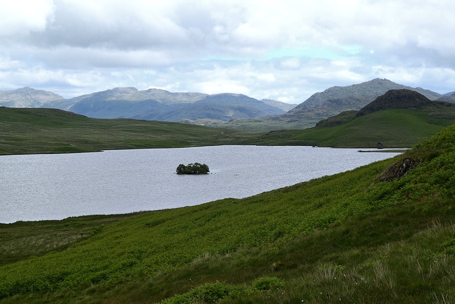
| Rough Crag and the Scafells from The Wyke |
 |
| Looking back to Devoke Water from the slopes of Stord's Hill |
 |
| The Scafells above the col between Water Crag and Rough Crag |
 |
| Joining the path rising from the western end of Devoke Water which is not as clear as we'd hoped |
 |
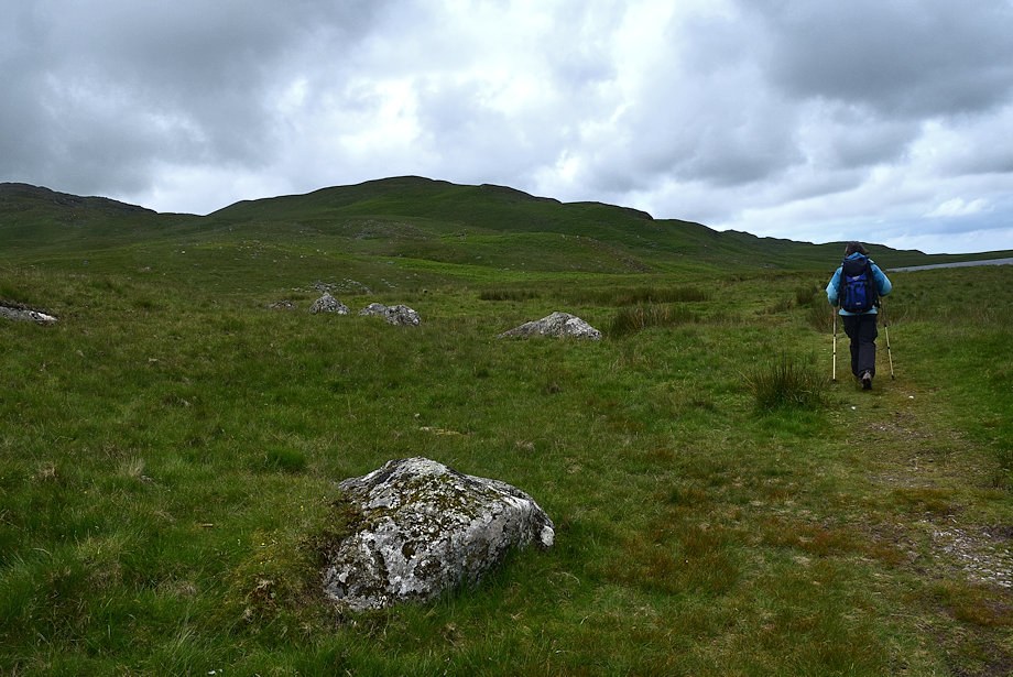
| Woodend Height from the path |
 |
| Looking back to Devoke Water with Crinkle Crags on the centre horizon |
 |
| Lank Rigg, Whoap, Caw Fell, Seatallan, Haycock, Whin Rigg and Scoat Fell form the horizon |
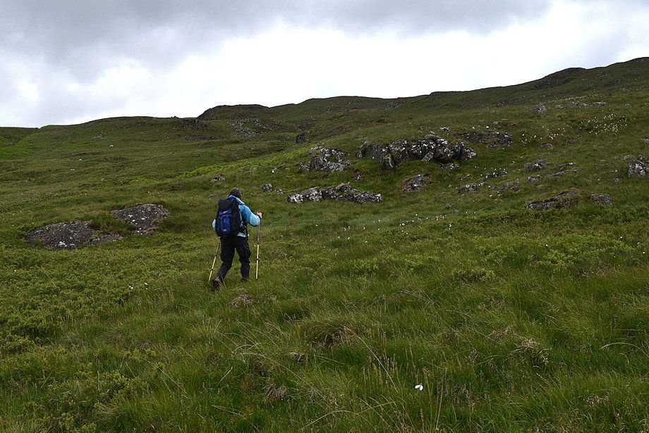 |
| On the way up to White Pike we lost the line of the faint path when it made a sharp turn to the right |
 |
| Great Gable and Scafell over the col between Water Crag and Rough Crag |
 |
| Looking down on Brantrake Crags |
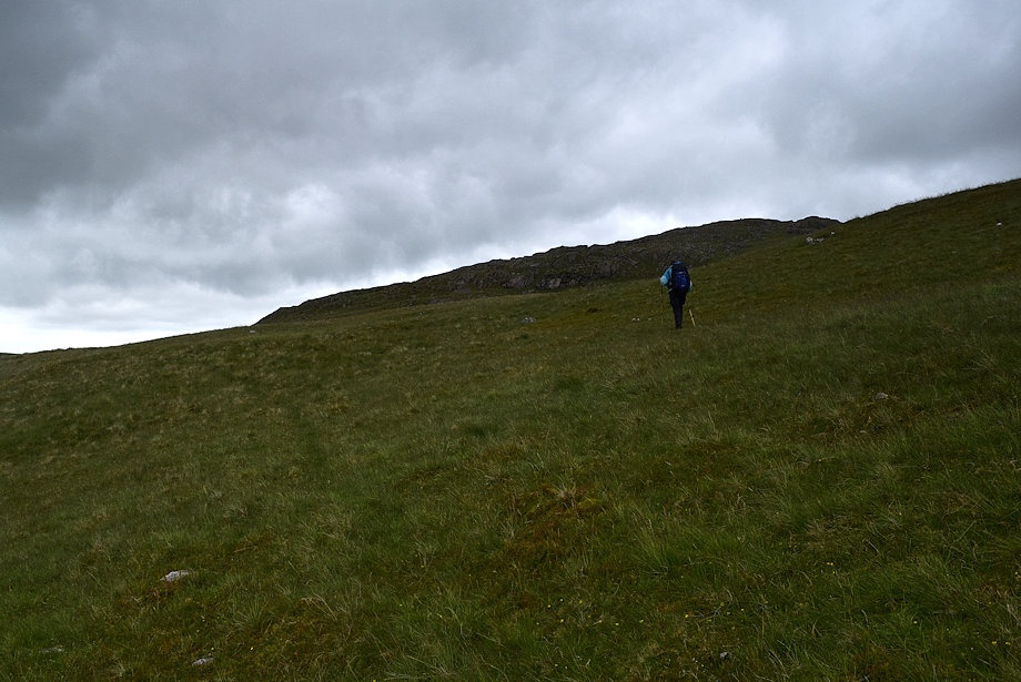 |
| Having lost the path we continued towards the col between Woodend Height and White Pike to reach the summit from there |
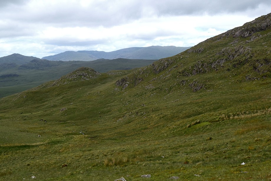 |
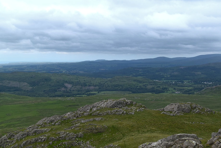
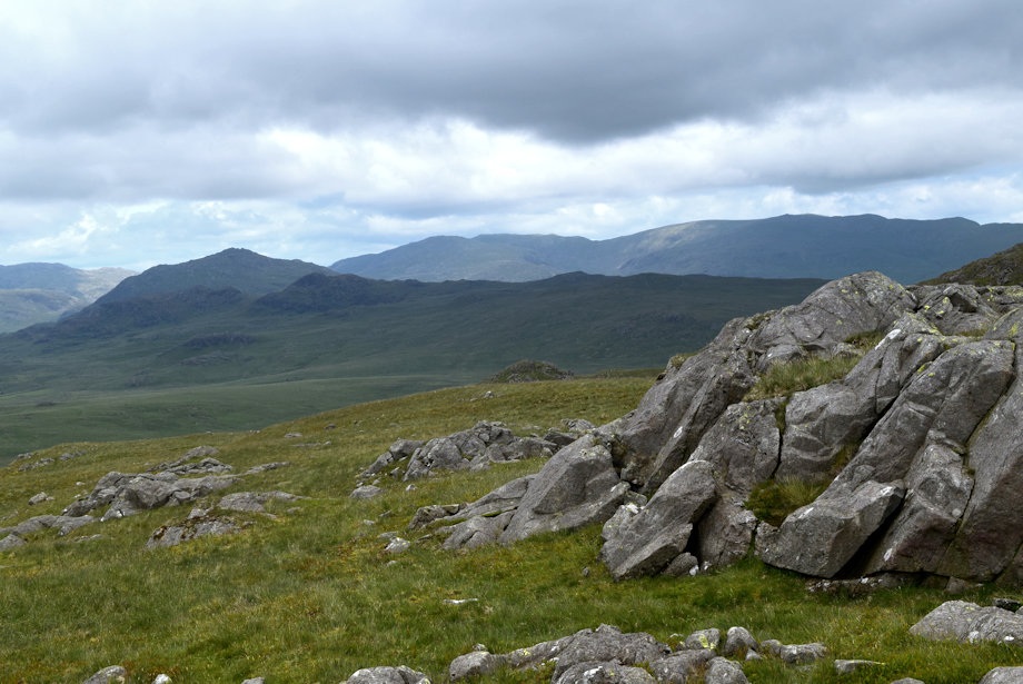
| The Coniston Fells across the slopes of Rowantree How |
 |
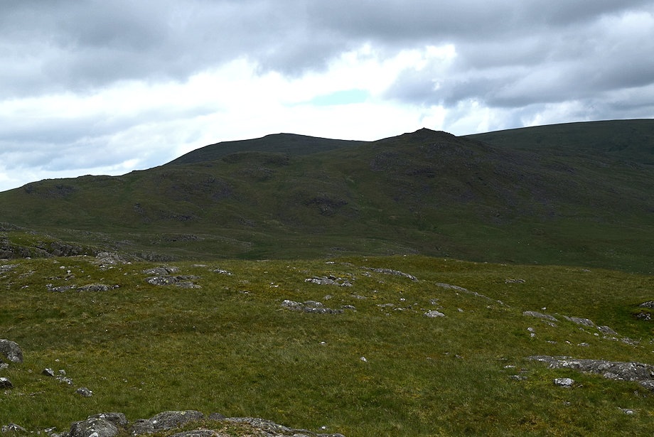
| Approaching the col between Woodend Height and White Pike |
 |
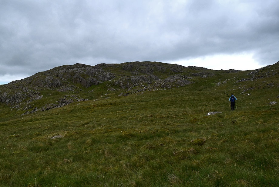
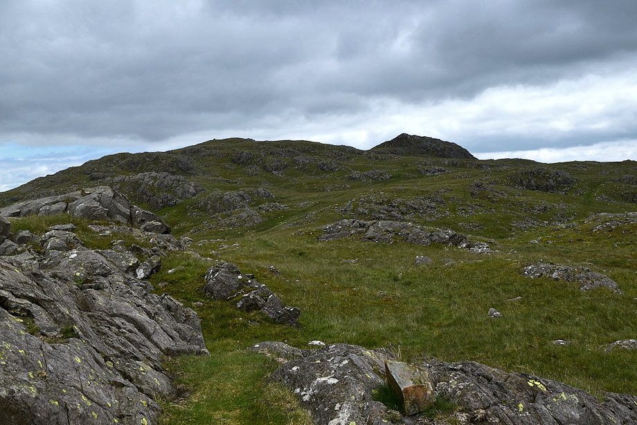
| Approaching the summit of White Pike |
 |
| Harter Fell from just below the summit of White Pike |
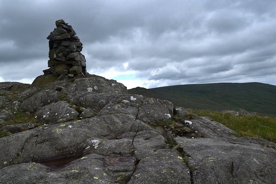 |
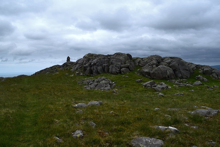
| The summit cairn on White Pike |
 |
| Woodend Height and Yoadcastle from the summit of White Pike |
 |
| Whit Fell and Stainton Pike from the summit of White Pike |
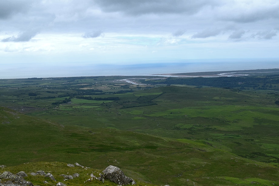 |
| Ravenglass from the summit of White Pike |
 |
| Dent and Lank Rigg from the summit of White Pke |
 |
| Lank Rigg, Caw Fell, Haycock, Scoat Fell and Pillar on the horizon with Whin Rigg and Illgill Head in the middle distance |
 |
| Devoke Water from the summit of White Pike |
 |
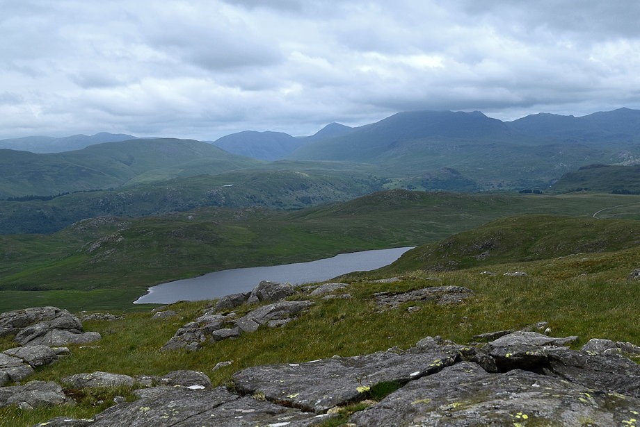
| Great Gable, Scafell, Esk Pike, Bowfell, Crinkle Crags and Harter Fell from the summit of White Pike |
 |
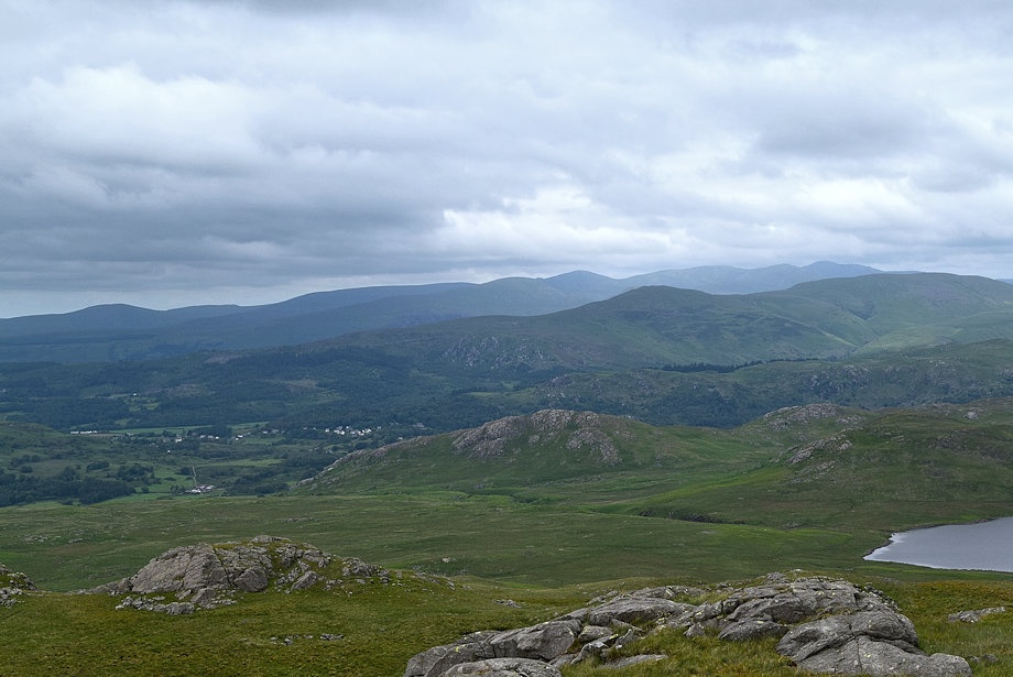
| Harter Fell and The Coniston Fells from the summit of White Pike |