 |
| The small car park at Burnbanks is the starting point for this walk |
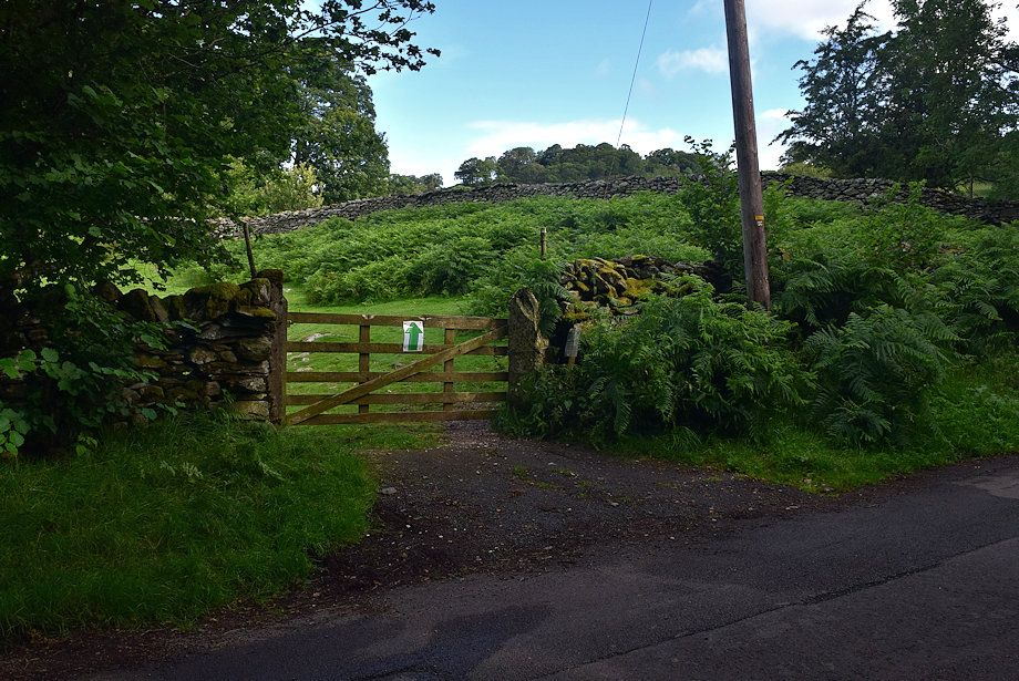 |
| Walk back along the lane for about a hundred yards to a gate |
 |
| The gate gives access to a green path which initially follows the line of the intake wall |
 |
| Looking back along the path |
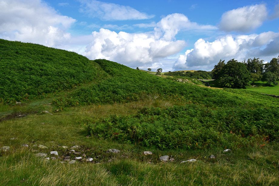 |
| As the wall turns to the right continue straight ahead |
 |
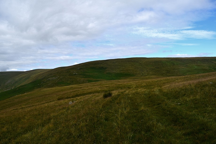
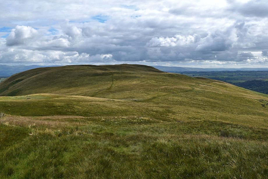
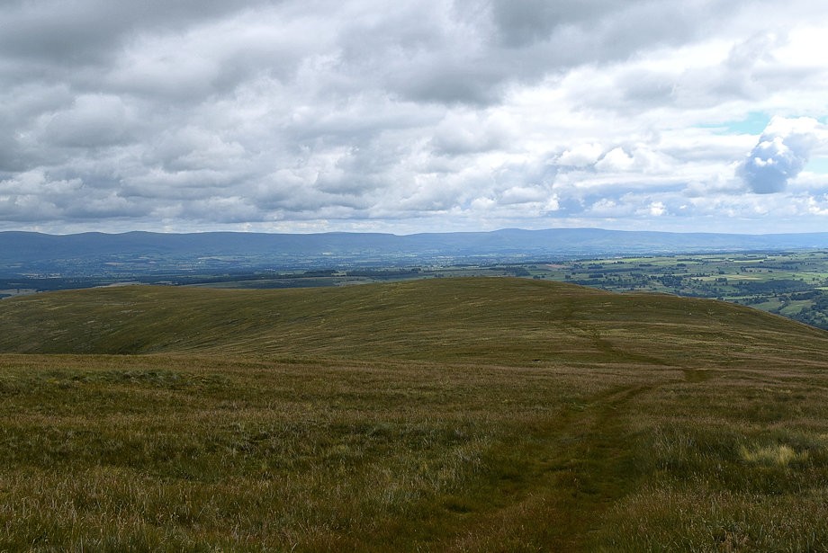
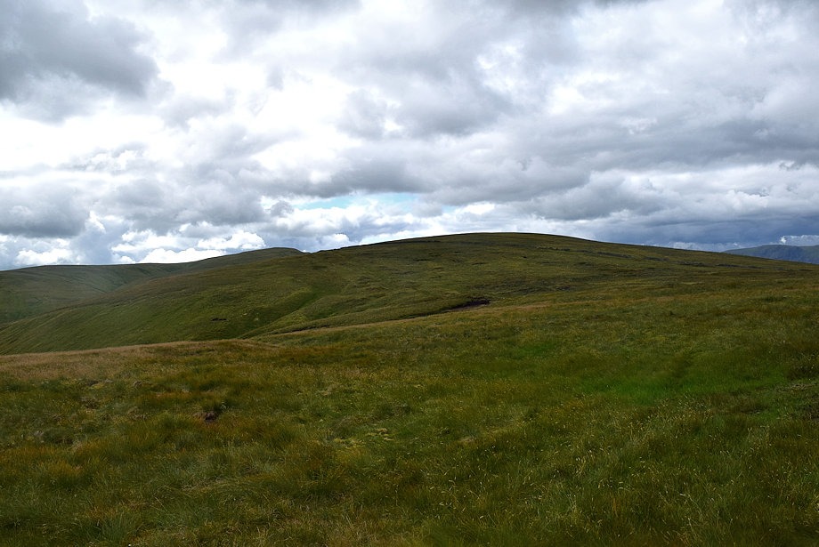
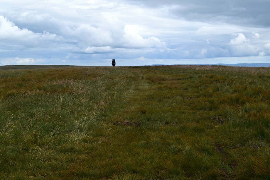
| Looking back towards Hugh's Laithes Pike |
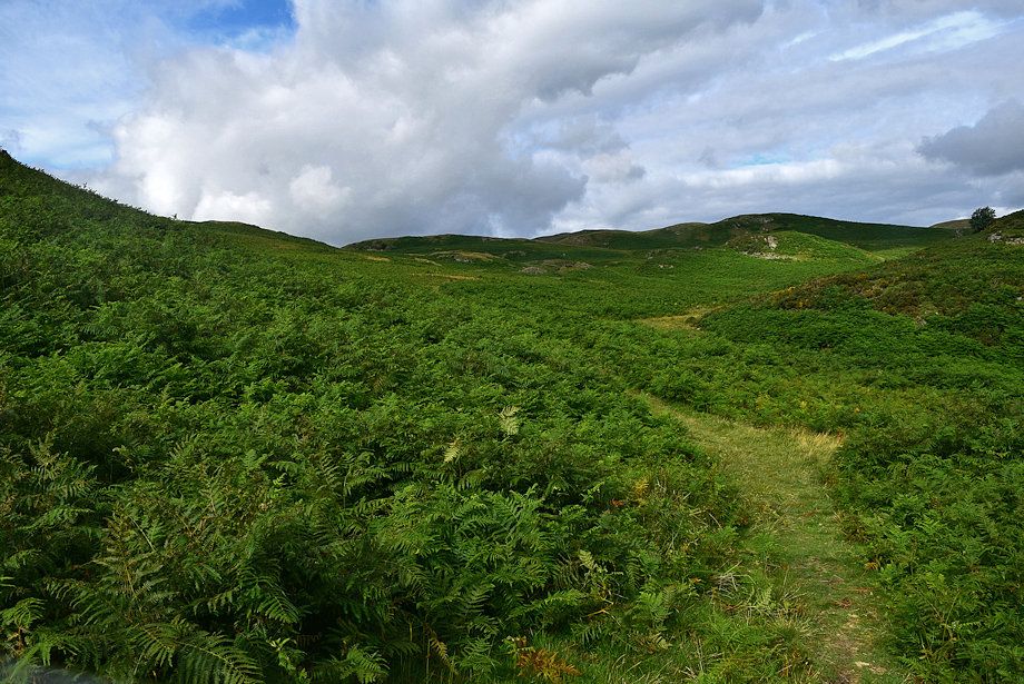 |
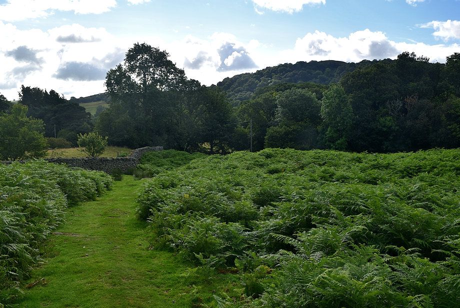
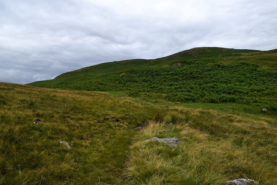
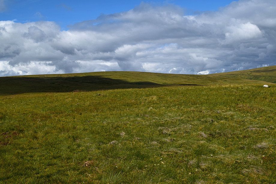
| The path winds its way through the bracken before crossing Aika Sike by a small clapper bridge and continues on below the side of Aika Hill |
 |
| Looking back along the path below Aika Hill |
 |
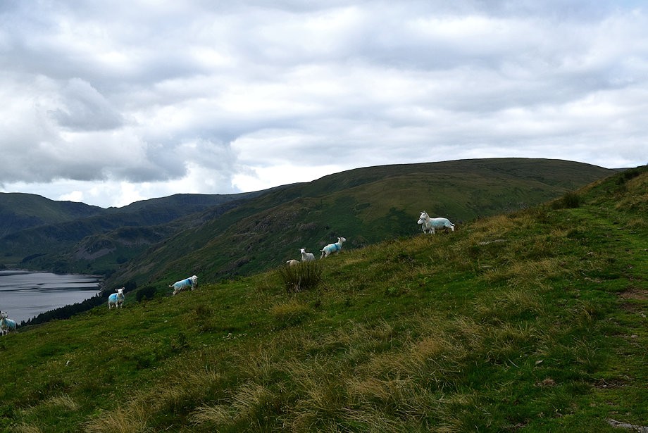
| In a little under a mile from the roadside gate the path joins a rough track above Drybarrows Farm. Part of the Drybarrows herd of fell ponies can be seen on the hillside above the farm |
 |
| The track leading up from Drybarrows Farm |
 |
| Looking back from the Drybarrows Farm Track |
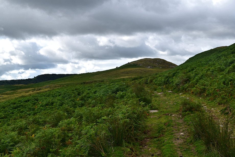 |
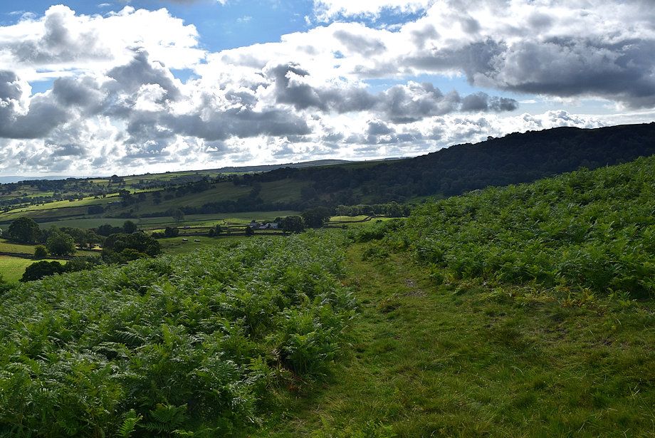
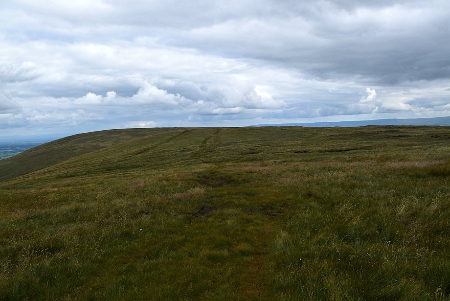
| Continuing along the track which soon degenerates to a footpath as it passes to the right of Pinnacle Howe |
 |
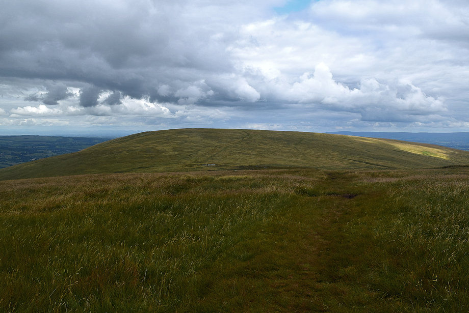
| Branstree, Harter Fell and Mardale Ill Bell from the footpath near Pinnacle Howe |
 |
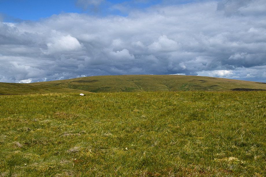
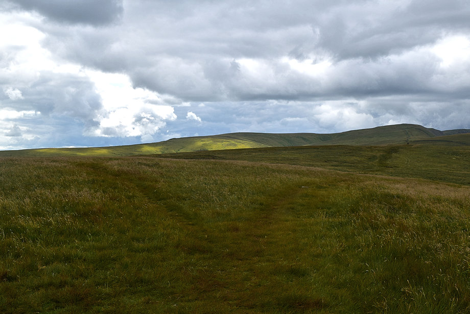
| The path fords the head of Intake Syke and climbs up towards Bampton Fell which is not named on OS maps |
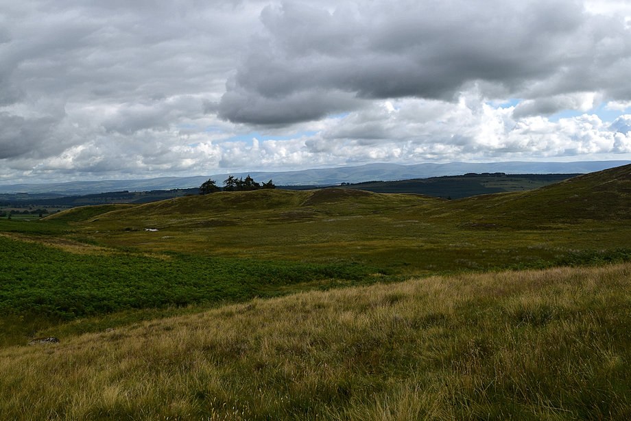 |
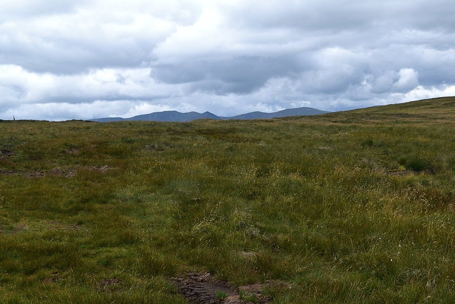
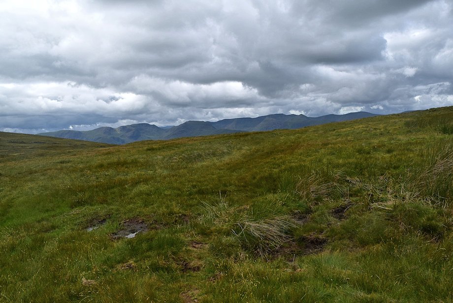
| Looking across to the Pennines |
 |
| The way ahead continues along a path which traverses the flank of Bampton Fell but it's worthwhile to veer left to the col between Four Stones Hill and Bampton Fell to visit an ancient cairn and the Standing Stones which lie beyond it |
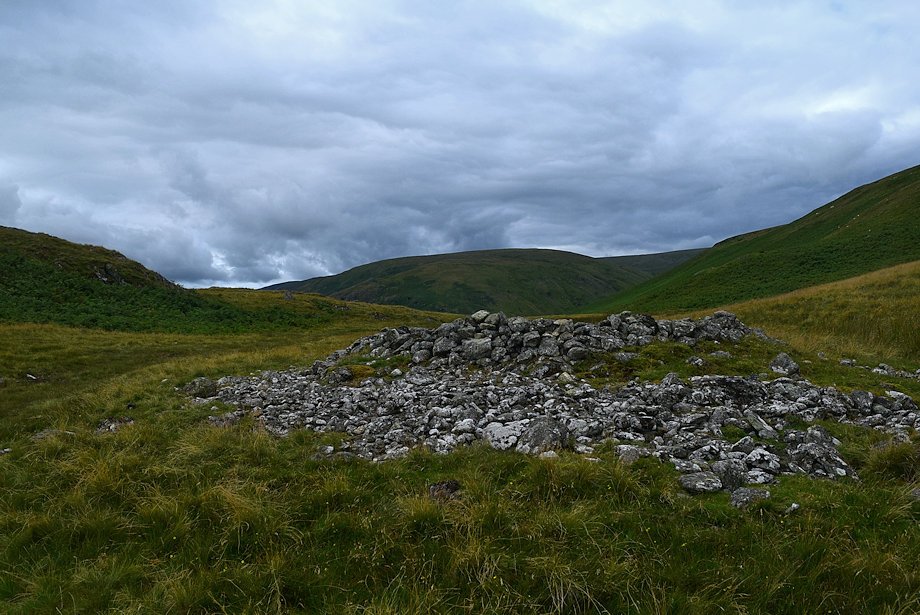 |
| The ancient cairn on the col. Continue on in the same direction, passing a small tarn to reach the Standing Stones |
 |
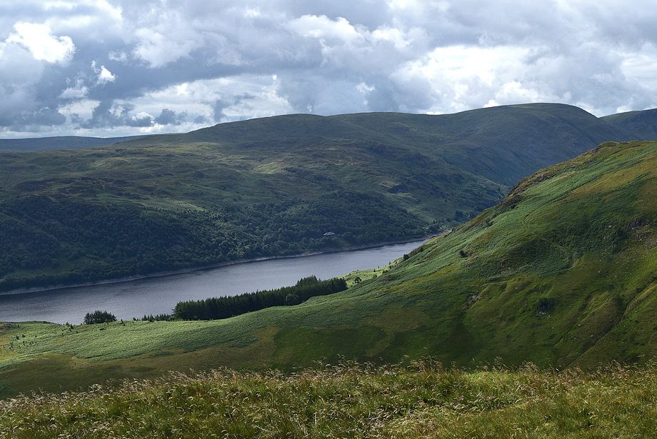
| Haweswater from the Standing Stones |
 |
| Double back from the Standing Stones, past the edge of the tarn, to join a path which comes up from Fordingdale Bottom |
 |
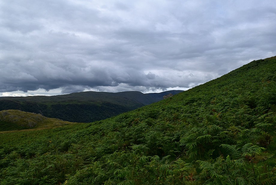
| The Fordingdale path is only followed for a short distance before leaving to climb directly through the bracken to join a path which traverses across Bampton Fell's southern slopes |
 |
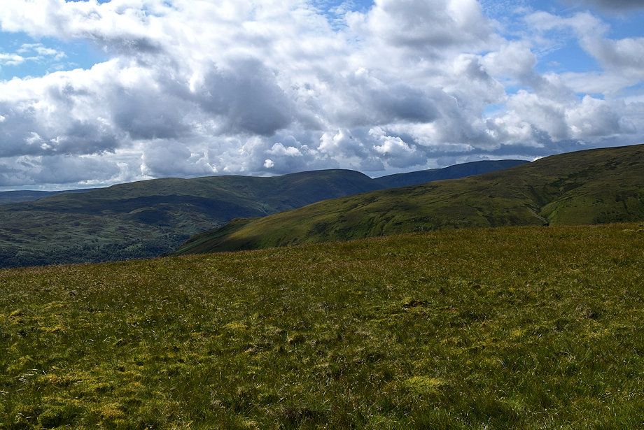
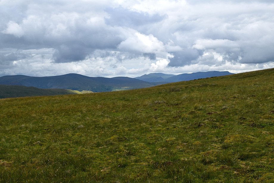
| Selside Pike, Branstree and Harter Fell across the southern slopes of Bampton Fell |
 |
| Looking down on Four Stones Hill from the climb to the traversing path |
 |
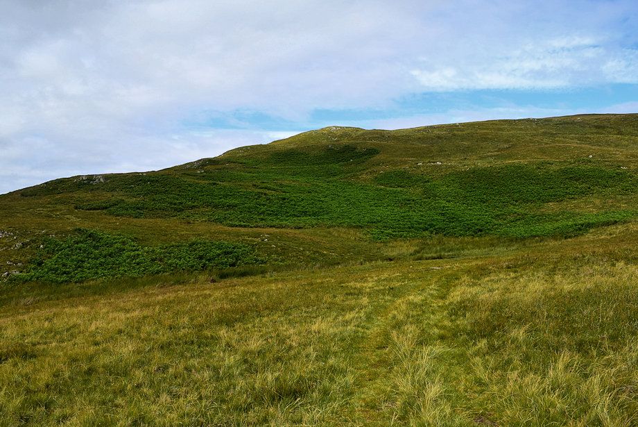
| The bracken slopes give way to grass on joining the traversing path |
 |
| The path gives very easy walking and wonderful views as it traverses below Bampton Fell's southern top |
 |
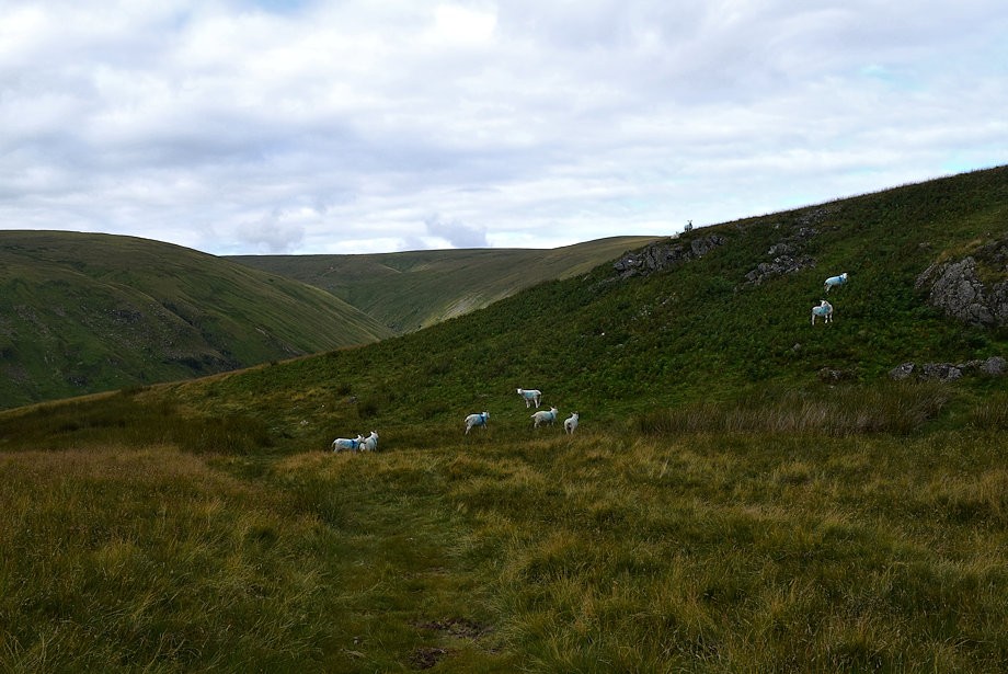
| Even the sheep take time out to appreciate the view over Haweswater! |
 |
| Harter Fell, Mardale Ill Bell and Low Raise |
 |
| Looking back to Four Stones Hill |
 |
| Red Crag at the head of the Measand Beck valley comes into view with High Kop and Low Kop to the right |
 |
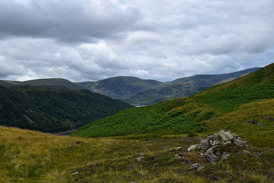
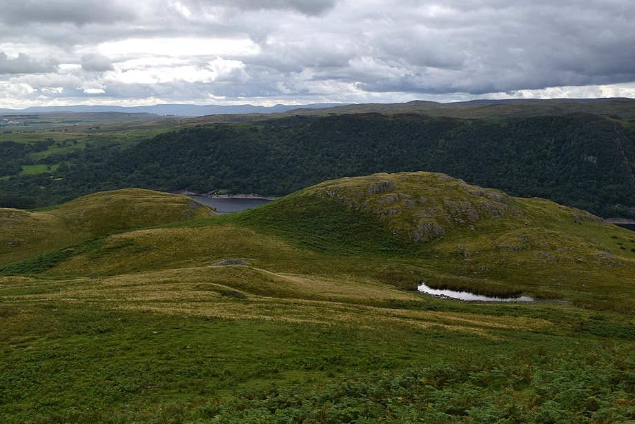
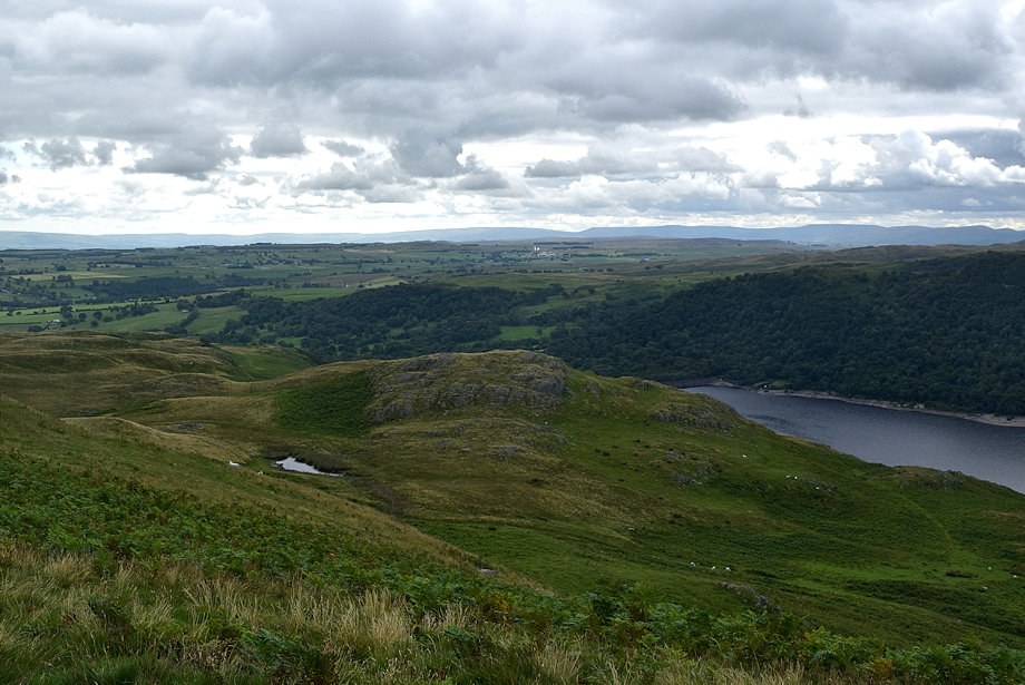
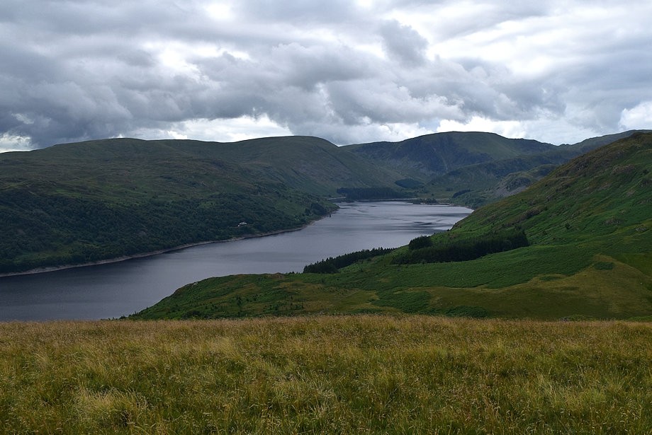
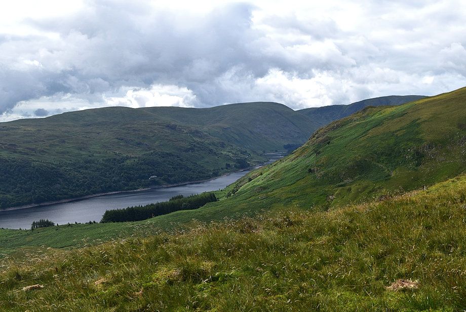
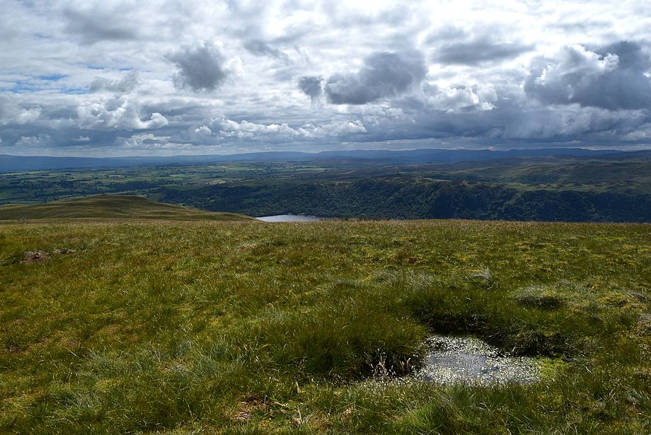
| Haweswater over Fordingdale Bottom |
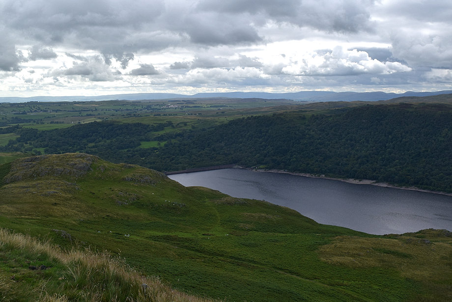 |
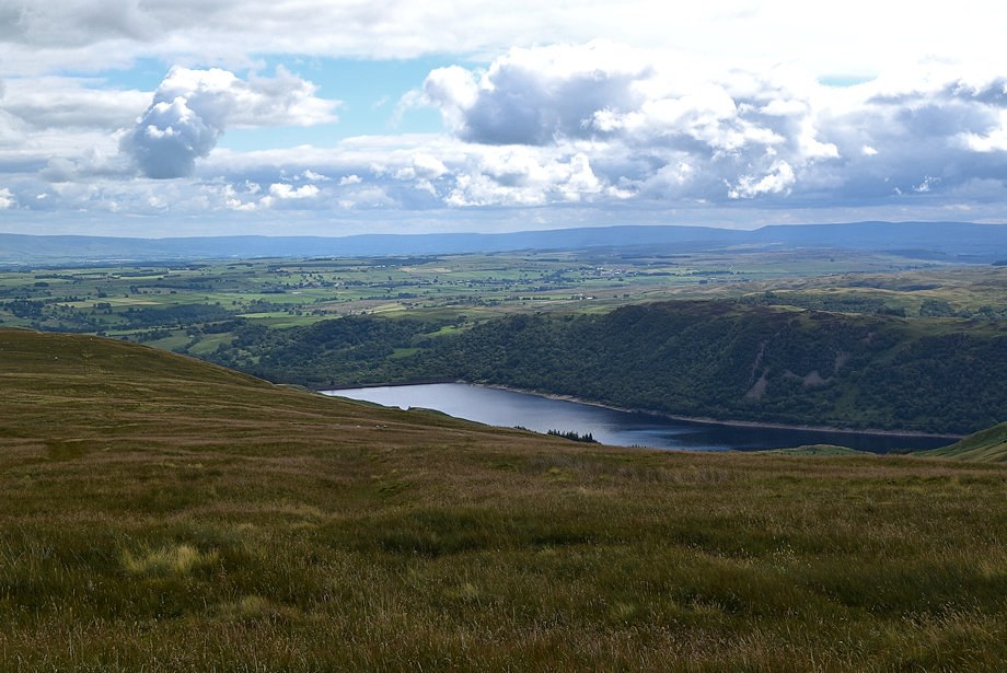
| Haweswater dam. The path from Fordingdale Bottom can be seen rising up towards the col below Four Stones Hill |
 |
| On rounding the southern end of Bampton Fell, Low Kop will come into full view |
 |
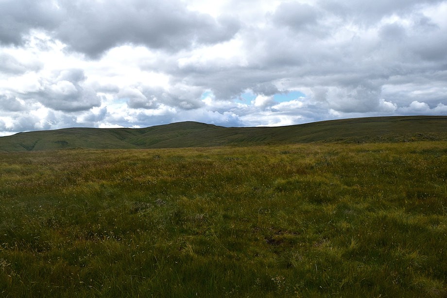
| Low Kop across the wide saddle above the head of Willdale |
 |
| Looking over to the head of Haweswater |
 |
| Approaching the eastern flank of Low Kop |
 |
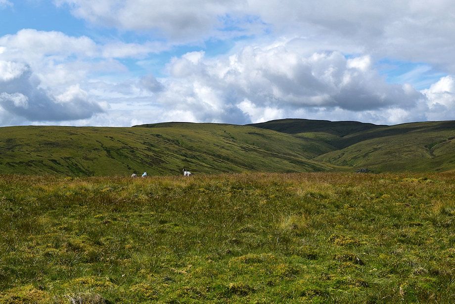
| Looking back across the wide saddle |
 |
| Starting the climb up Low Kop's eastern flank |
 |
| Looking back to Bampton Fell |
 |
| Haweswater from the climb to Low Kop |
 |
| The valley of Measand Beck from the climb to Low Kop |
 |
| Looking back from near the top of Low Kop |
 |
| The summit of High Raise comes into view |
 |
| Selside Pike and Branstree across Measand End |
 |
| Approaching the summit of Low Kop which is marked by single quartz stone |
 |
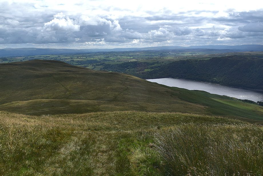
| Haweswater dam is just visible from the summit of Low Kop |
 |
| Selside Pike, Branstree and Harter Fell over Long Grain from the summit of Low Kop |
 |
| Low Raise and High Raise from the summit of Low Kop |
 |
| Wether Hill from the summit of Low Kop |
 |
| Loadpot Hill from the summit of Low Kop |
 |
| Continuing on towards High Kop |
 |
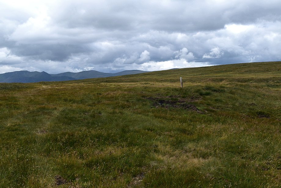
| Loadpot Hill from the shallow col between Low Kop and High Kop |
 |
| Looking back to Haweswater from the climb to High Kop |
 |
| Looking back to Low Kop from just below the summit of High Kop |
 |
| Helvellyn appears over the summit of High Kop |
 |
| Low Raise, High Raise and Red Crag from the summit of High Kop |
 |
| The Pennines from the summit of High Kop |
 |
| Wether Hill and Loadpot Hill across White Bog from the summit of High Kop |
 |
| From High Kop a faint path continues on to eventually join the Roman Road |
 |
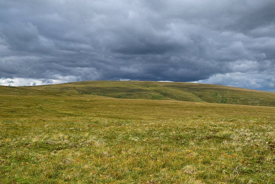
| The Roman Road follows the line of the wall crossing Red Crag but there's no need to continue that far. Veer away right from this point onto a path which leads up to Wether Hill's south top |
 |
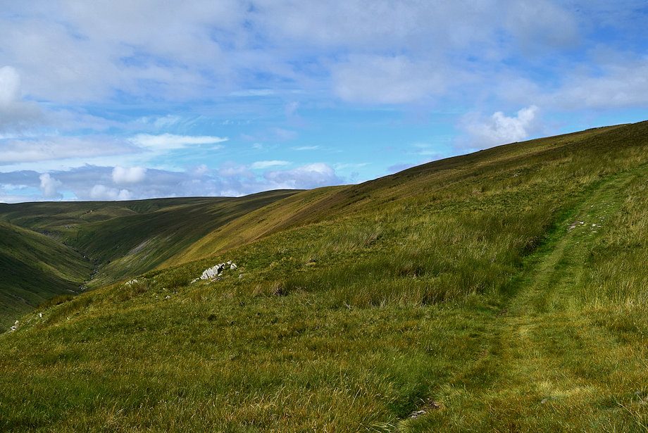
| The path is not very clear to begin with .......... |
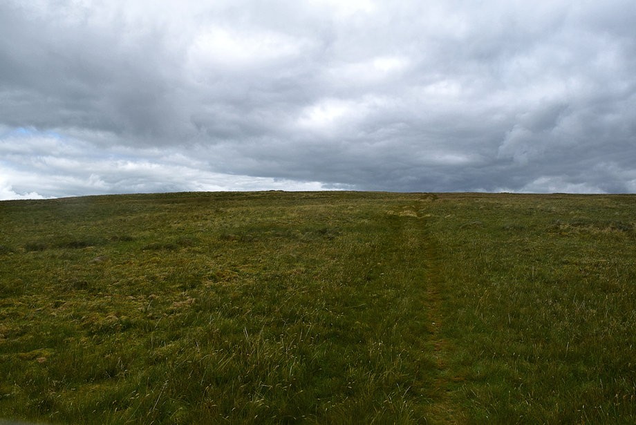 |
| .......... but soon impoves as height is gained |
 |
| Stybarrow Dodd, Great Dodd, Clough Head, Skiddaw and Blencathra from the path to Wether Hill's south top |
 |
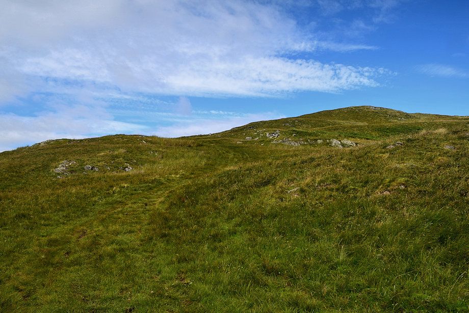
| Approaching the summit of Wether Hill's south top |
 |
| Skiddaw, Blencathra, Knott, Bowscale Fell, High Pike and Carrock Fell on the horizon from Wether Hill's south top |
 |
| Continuing on towards Wether Hill's north top which, although regarded as the true summit of the fell, is actually a few feet lower than the south top. The course of the Roman Road can be seen on the left |
 |
| The summit cairn on Wether Hill which is not quite on the highest point. Walk a few yards over the crown of the fell for a view of the Pennines |
 |
| The Pennines from the summit of Wether Hill |
 |
| Loadpot Hill from the summit of Wether Hill |
 |
| Low Raise in sunlight from the summit of Wether Hill |
 |
| Looking back to the south top backed by the summit of High Raise |
 |
| Caudale Moor, Red Screes, The Coniston Fells, Dove Crag, Hart Crag, Fairfield, Scafell and St. Sunday Crag form the horizon. With Rest Dodd, The Nab and Angletarn Pikes in the middle distance |
 |
| The Helvellyn range on the horizon over Beda Fell and Place Fell |
 |
| Ullswater from the summit of Wether Hill |
