 |
| Almost opposite the United Utilities car park at Legburthwaite is a stile giving access to the climber's path leading up to Castle Rock |
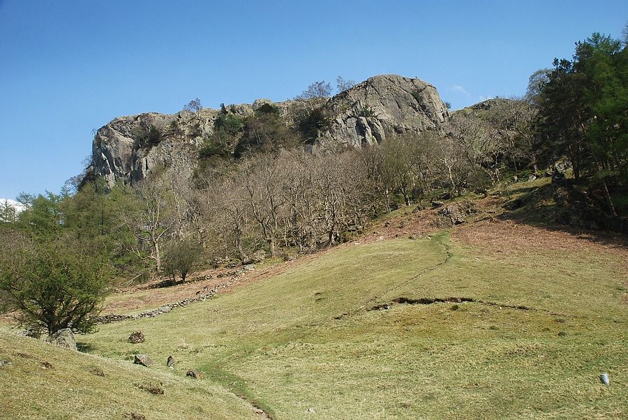 |
| Castle Rock from the climber's path |
 |
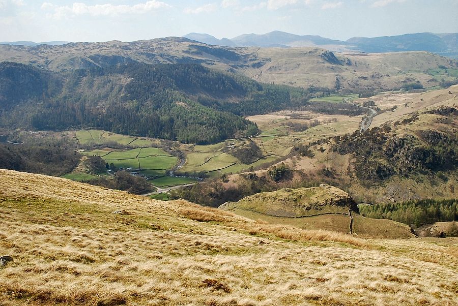
| Looking across to Great How from the climber's path, the United Utilities car park is situated in the trees on the right |
 |
| The climber's path leads up towards the the south buttress of Castle Rock and crosses the water leat at the top of the field. A walker's path bears off to the right crossing a stone stile in the boundary wall, coming level with the leat - at a section where it runs briefly underground through a rock outcrop |
 |
| The path onwards from the stile |
 |
| Looking back towards Wren Crag from the stile |
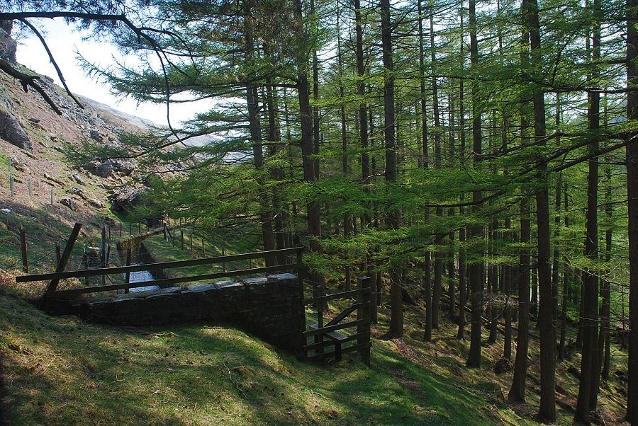 |
| The path crosses another stile above a small plantation of conifers and continues alongside the water leat |
 |
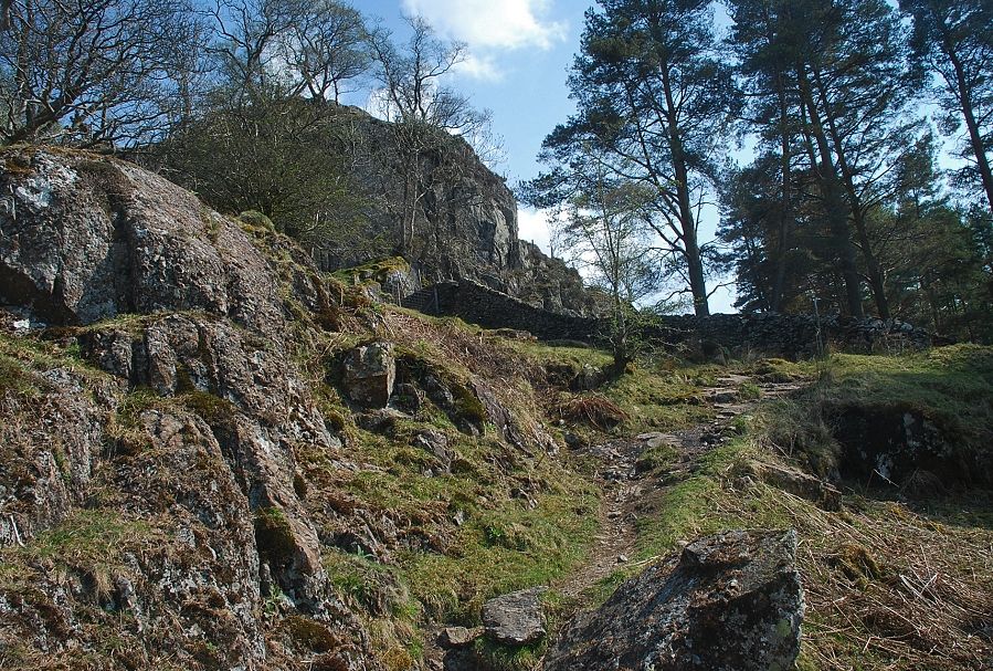
| Looking up to the south buttress of Castle Rock from the stile |
 |
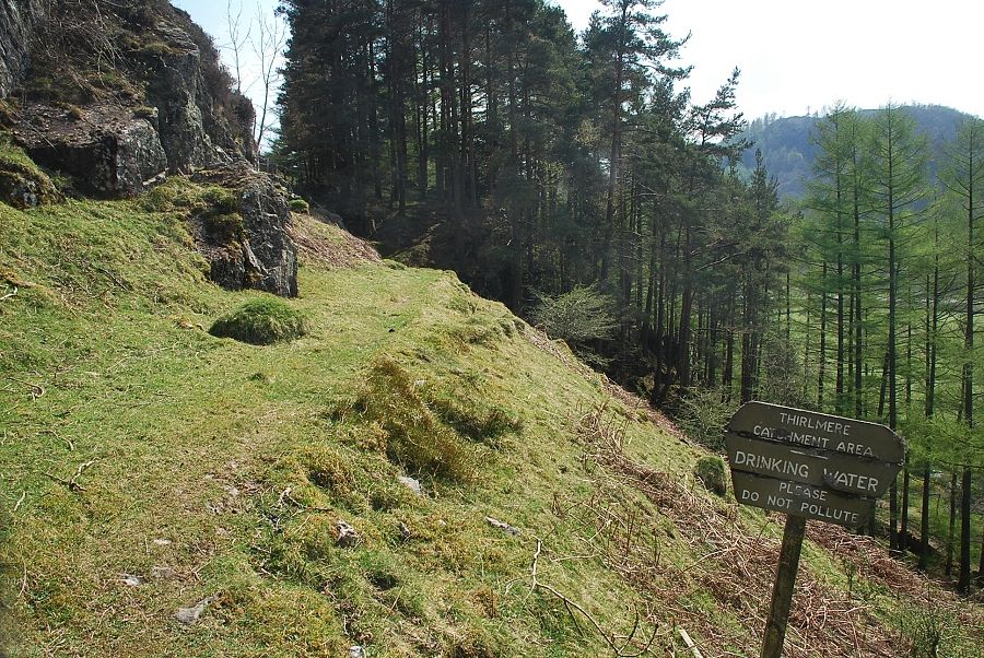
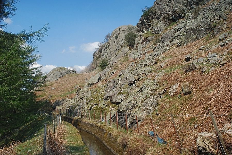
| The path alongside the water leat |
 |
| The south buttress of Castle Rock from the water leat |
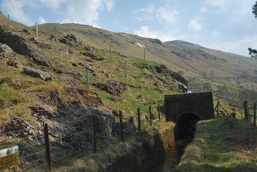 |
| At the end of the conifer plantation the water leat again disappears underground and a stile gives access to the open fellside |
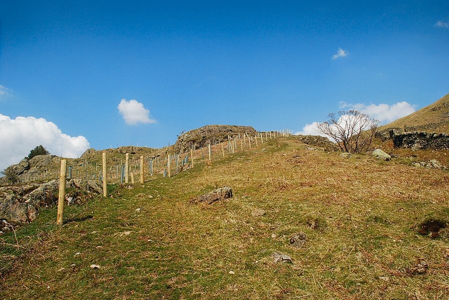 |
| The ascent path continues alongside a fence enclosing an area of recently planted trees |
 |
| Looking over to Brown Crag |
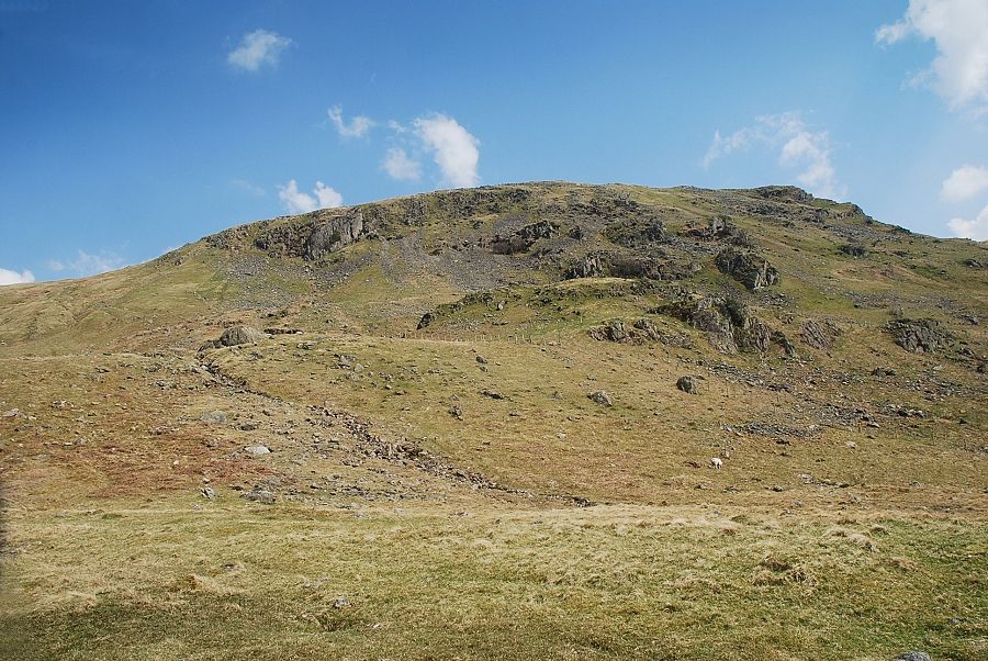 |
| Looking up to the terminal crags on the west ridge of Watson's Dodd |
 |
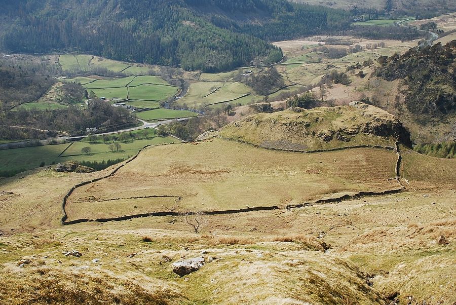
| Eventually the path meets, and follows, an enclosure wall behind Castle Rock |
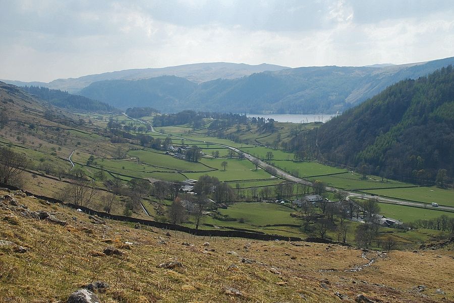 |
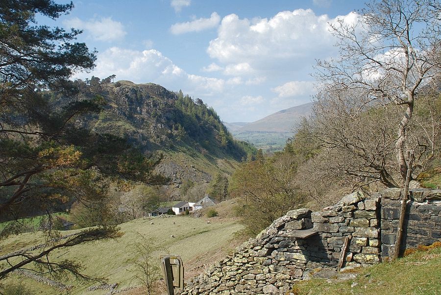
| Looking back to Thirlmere from the enclosure wall |
 |
| The back of Castle Rock from the enclosure wall |
 |
| The hard work begins from the wall corner of the enclosure with a very steep ascent of the slope to the left of the terminal crags |
 |
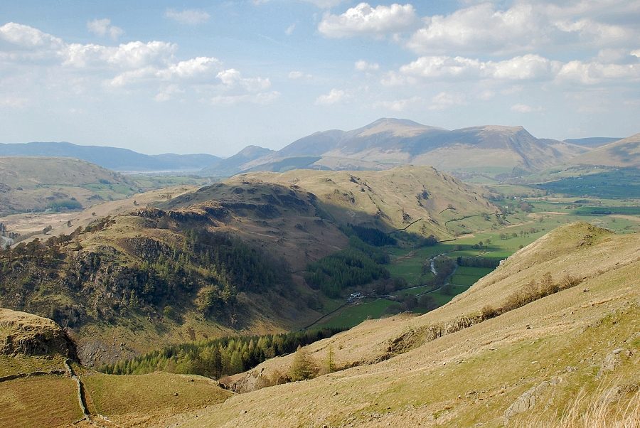
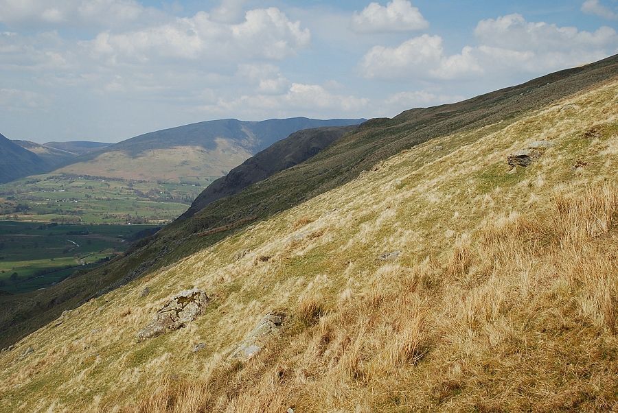
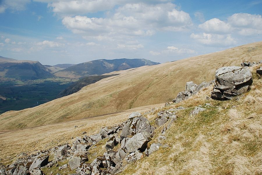
| Looking over to Blencathra beyond Lad Knott and Beckthorns Ridge |
 |
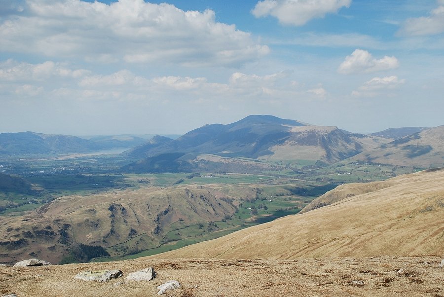
| High Rigg and Skiddaw |
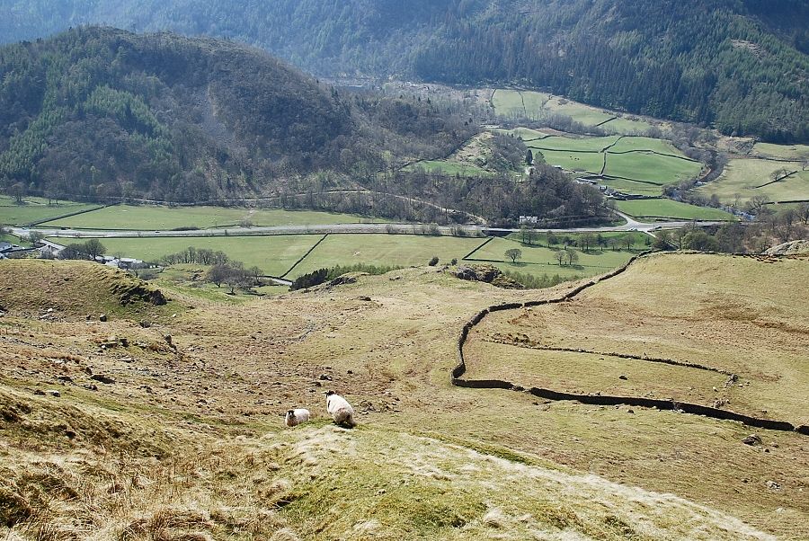 |
| Looking down on the wall corner of the Castle Rock enclosure |
 |
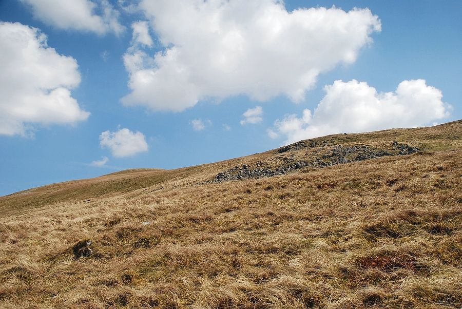
| This lower part of the ascent follows a deep groove which leads up to an old shepherd's cairn |
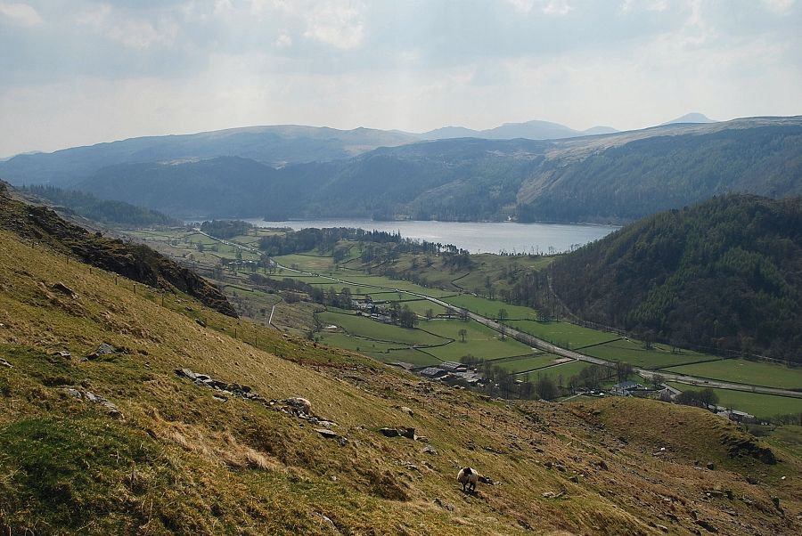 |
| Looking back to Thirlmere from the climb to the cairn |
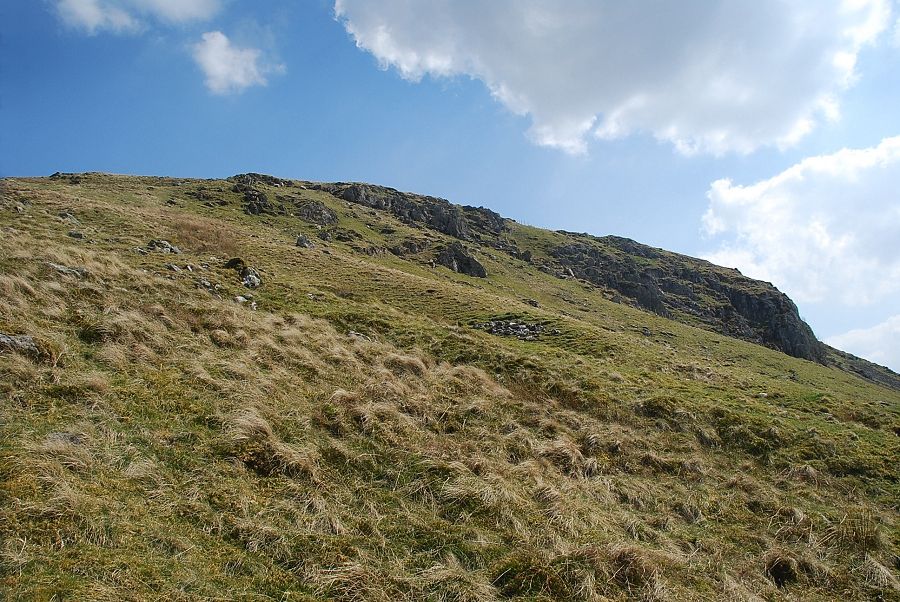 |
| Looking across to the terminal crags on the west ridge |
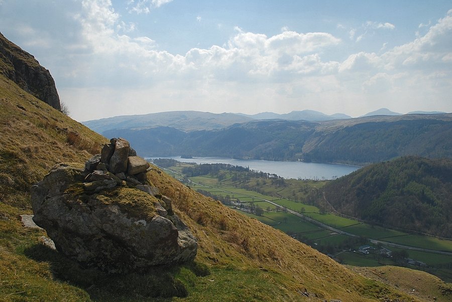 |
| Thirlmere from the shepherd's cairn |
 |
| Looking down on Castle Rock from the shepherd's cairn |
 |
| Blencathra from the shepherd's cairn |
 |
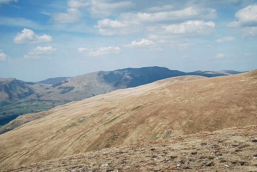
| High Rigg and Skiddaw from the shepherd's cairn |
 |
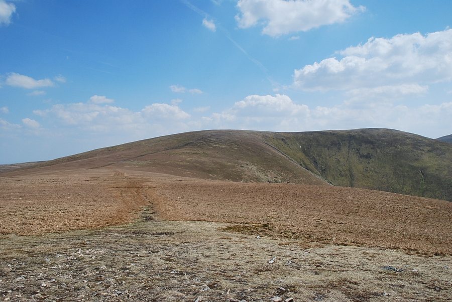
| Continuing on from the cairn, the summit of Watson's Dodd soon appears on the left over the trackless slopes of the west ridge |
 |
| Looking back to the top of Castle Rock. If descending by this route, it is important to aim for the rock as soon as it comes into view in order to avoid the crags and difficult ground at the end of the ridge |
 |
| Looking over to Lonscale Fell and Blencathra |
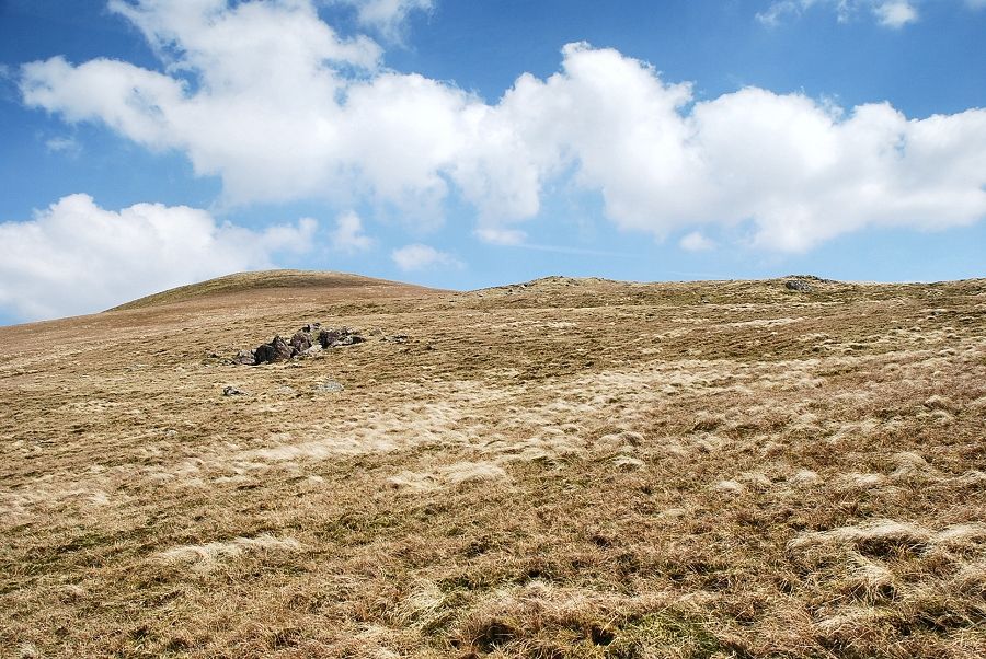 |
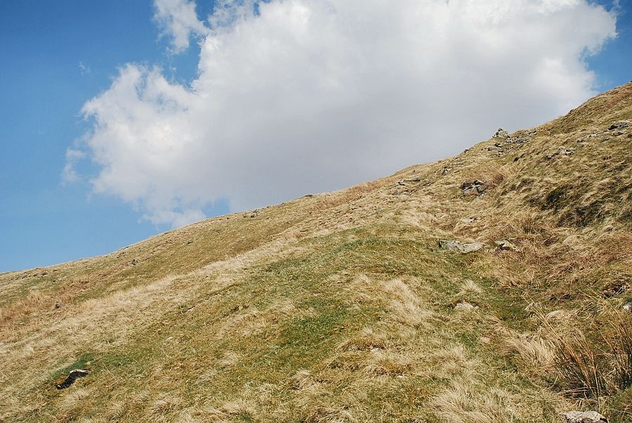
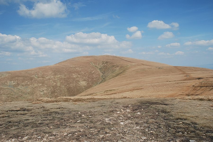
| The summit of Watson's Dodd from the west ridge. As AW noted "This ascent promises well, but deteriorates into a trudge". There is no path and the climb is very tedious over the thick tussocks of grass. Progress may be measured by the linking up of the occasional outcrops of rock |
 |
| Lonscale Fell and Blencathra from one of the many rock outcrops on the west ridge |
 |
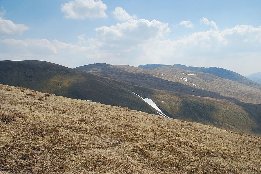
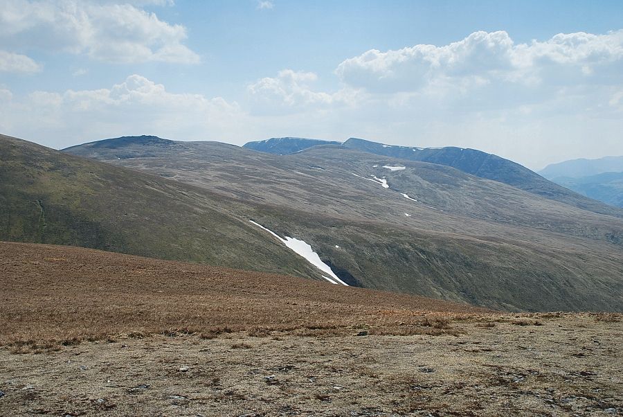
| Looking across to Stybarrow Dodd and Raise |
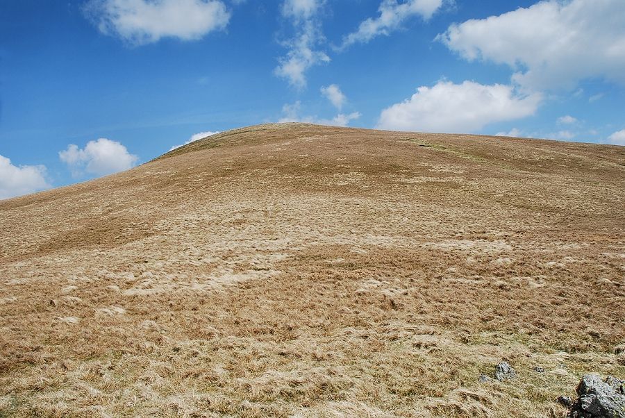 |
| The final slope leading up to the summit |
 |
| Looking back to Thirlmere from just below the summit |
 |
| Helvellyn from just below the summit |
 |
| Looking over to Blencathra from just below the summit |
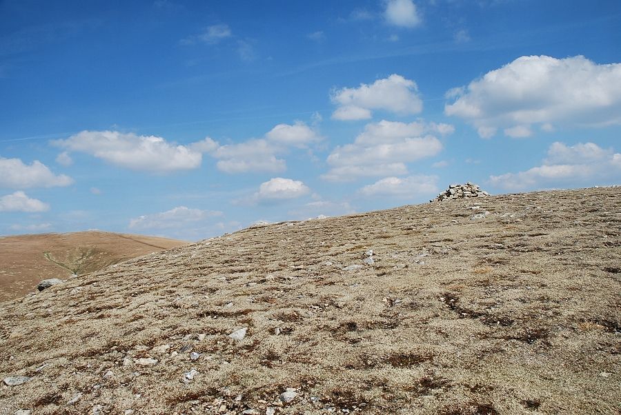 |
| The summit cairn comes into view |
 |
| Thirlmere from the summit of Watson's Dodd |
 |
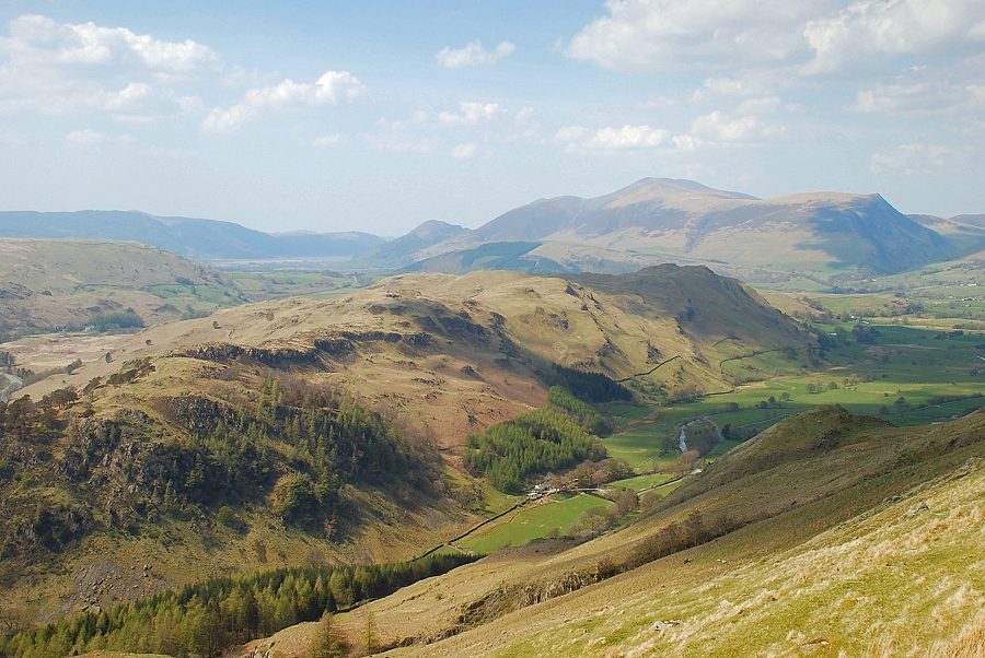
| The North Western Fells from the summit of Watson's Dodd |
 |
| Skiddaw from the summit of Watson's Dodd |
 |
| Blencathra from the summit of Watson's Dodd |
 |
| The connecting ridge to Great Dodd |
 |
| The connecting ridge to Stybarrow Dodd |
 |
| Raise, White Side and Helvellyn |
