 |
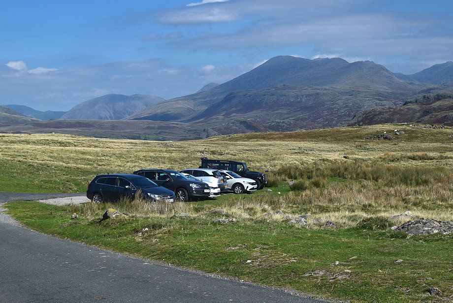
| The walk starts from the access lane to High Ground Farm where there is room to park half a dozen cars on the verge |
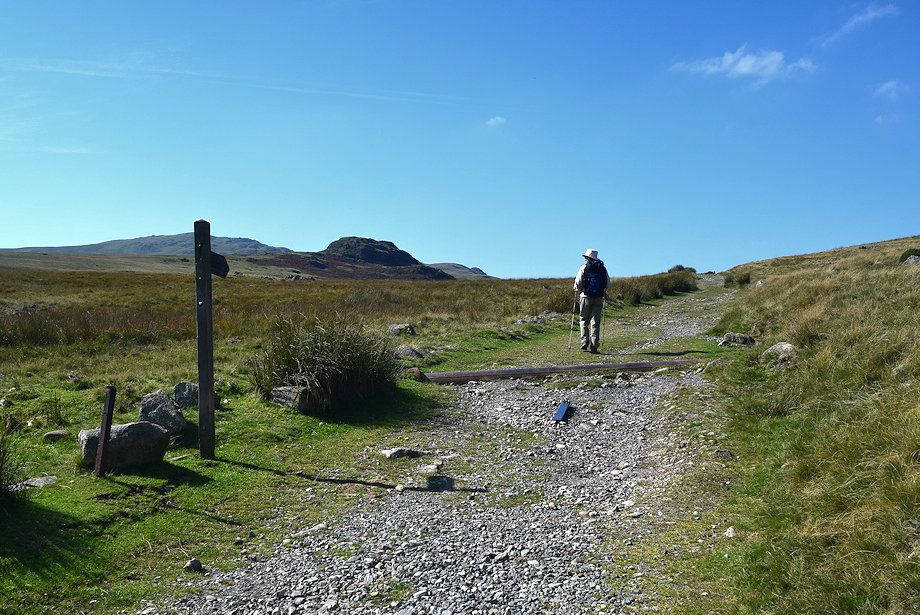 |
| Directly opposite the car parking area is the start of the bridleway track to Devoke Water |
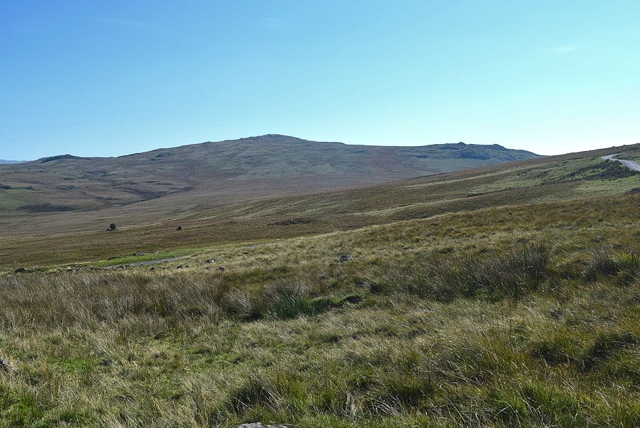 |
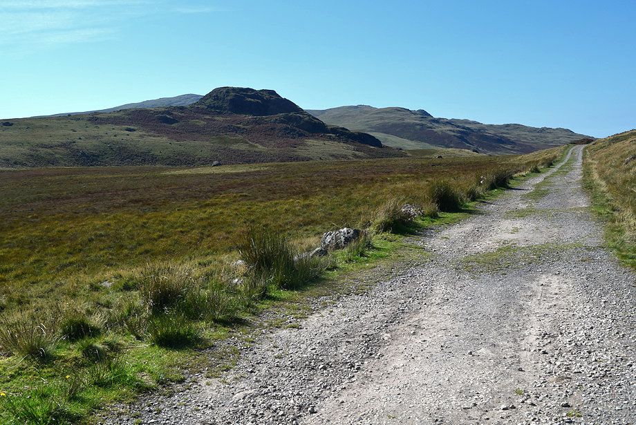
| Great Worm Crag from the bridleway |
 |
| Seat How from the bridleway |
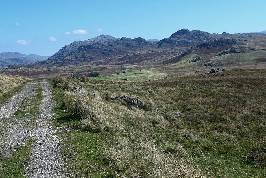 |
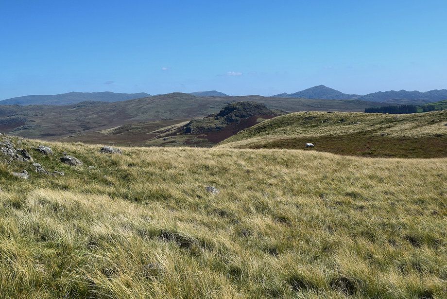
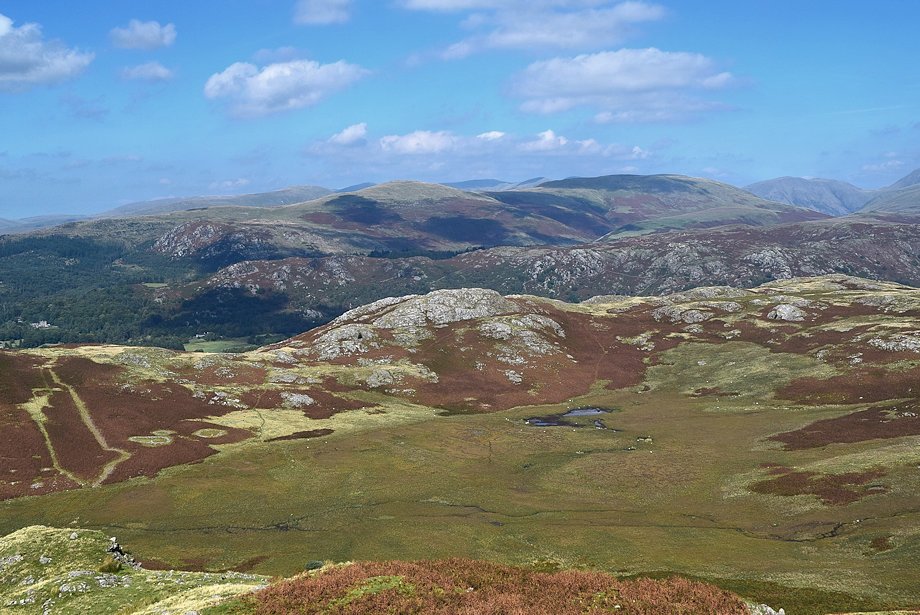
| Looking back to Harter Fell over Crook Crag with Green Crag on the right |
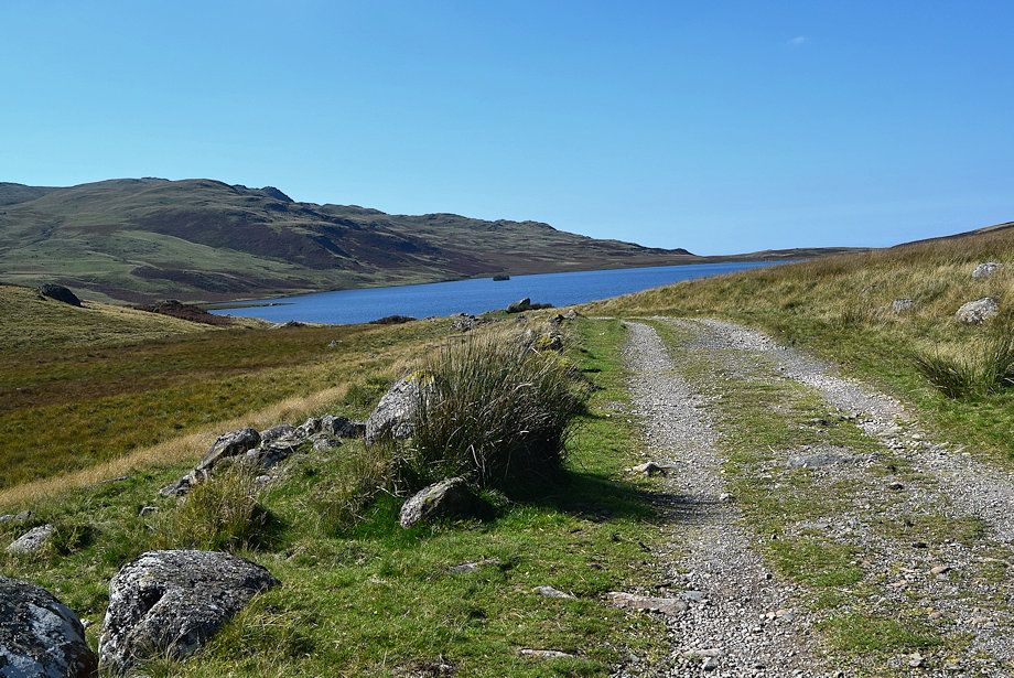 |
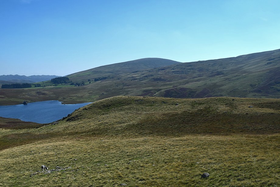
| Devoke Water comes into view |
 |
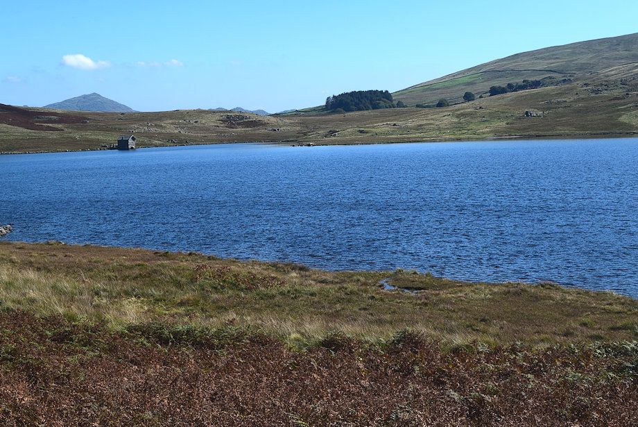
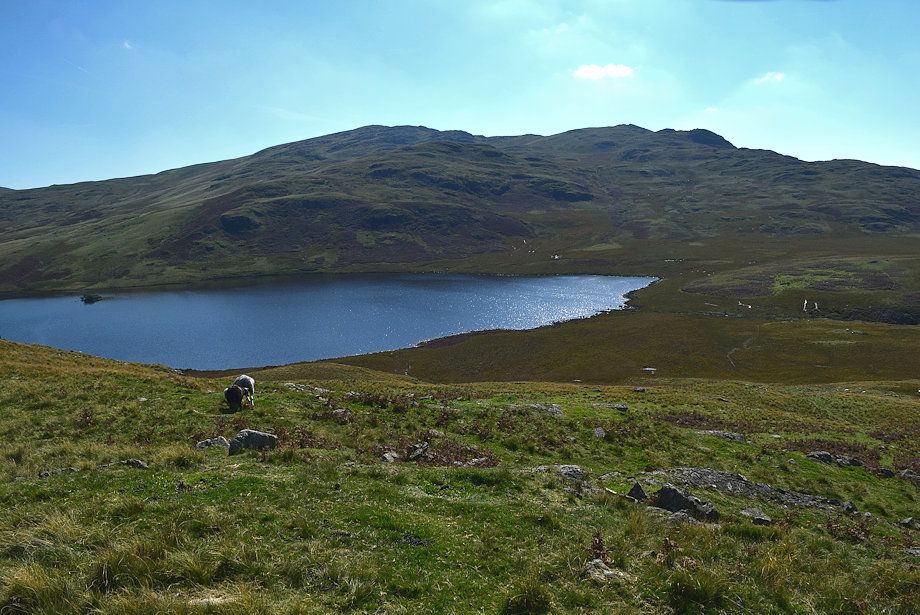
| Water Crag from the eastern end of Devoke Water |
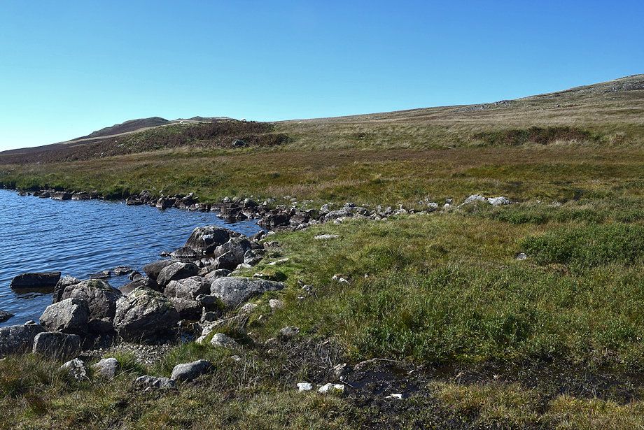 |
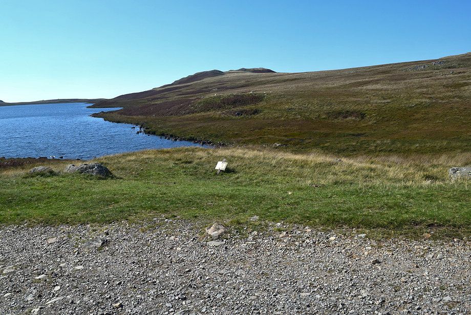
| We leave the bridleway track to follow a footpath above the northern shore of Devoke Water |
 |
| Water Crag from the footpath alongside Devoke Water. There is another, lower, path which closely follows the water's edge but it's much wetter and soon disappears entirely in the marshy ground. This upper path is drier as indicated by the presence of areas of bracken which does not thrive on wet ground |
 |
| Looking back towards Seat How |
 |
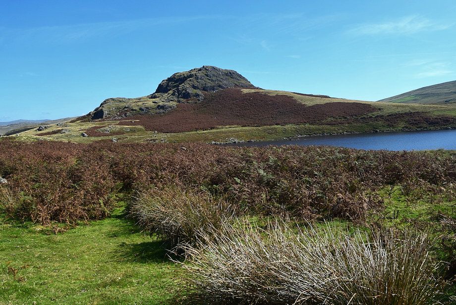
| The summit of Water Crag is just right of centre |
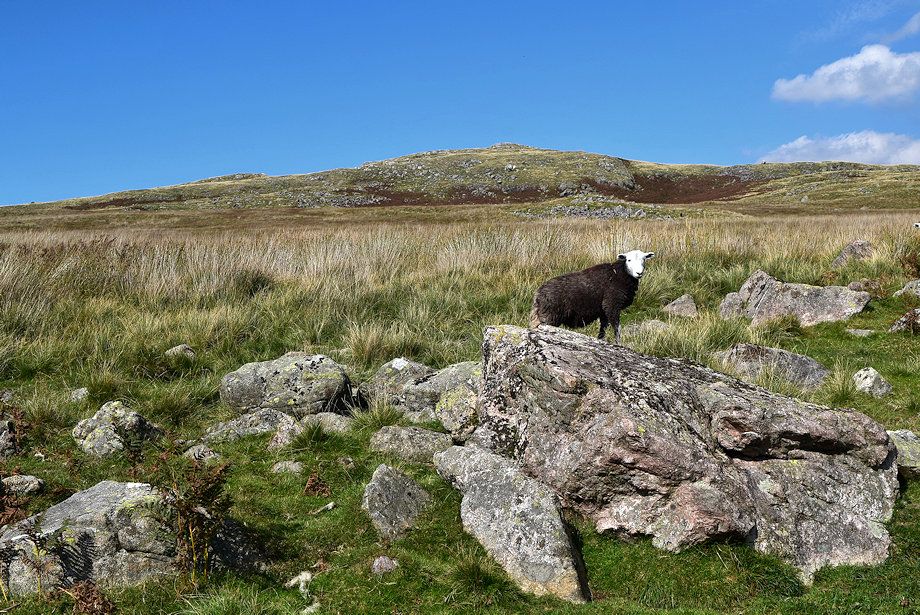 |
| A herdick lamb and Rough Crag |
 |
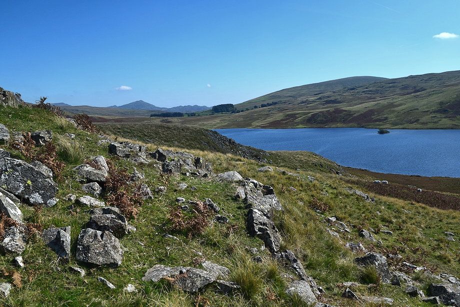
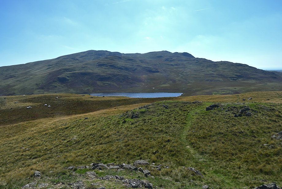
| Hesk Fell across Devoke Water |
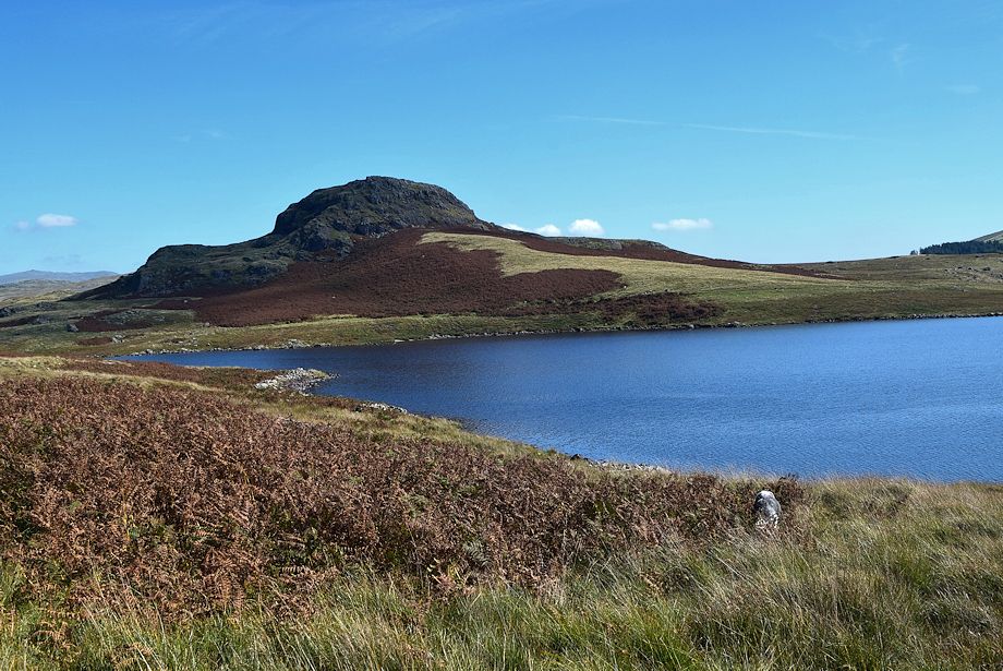 |
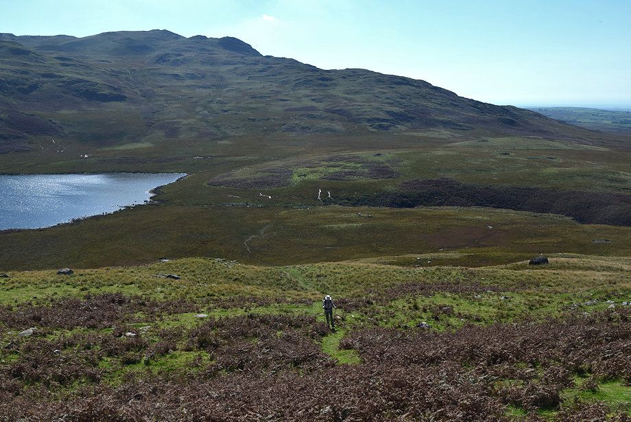
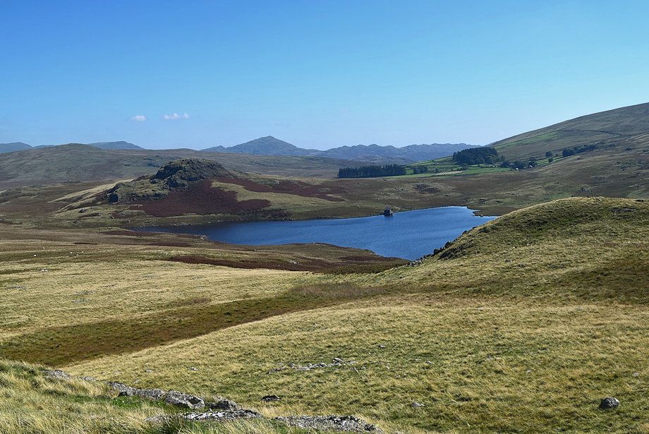
| Seat How over Devoke Water |
 |
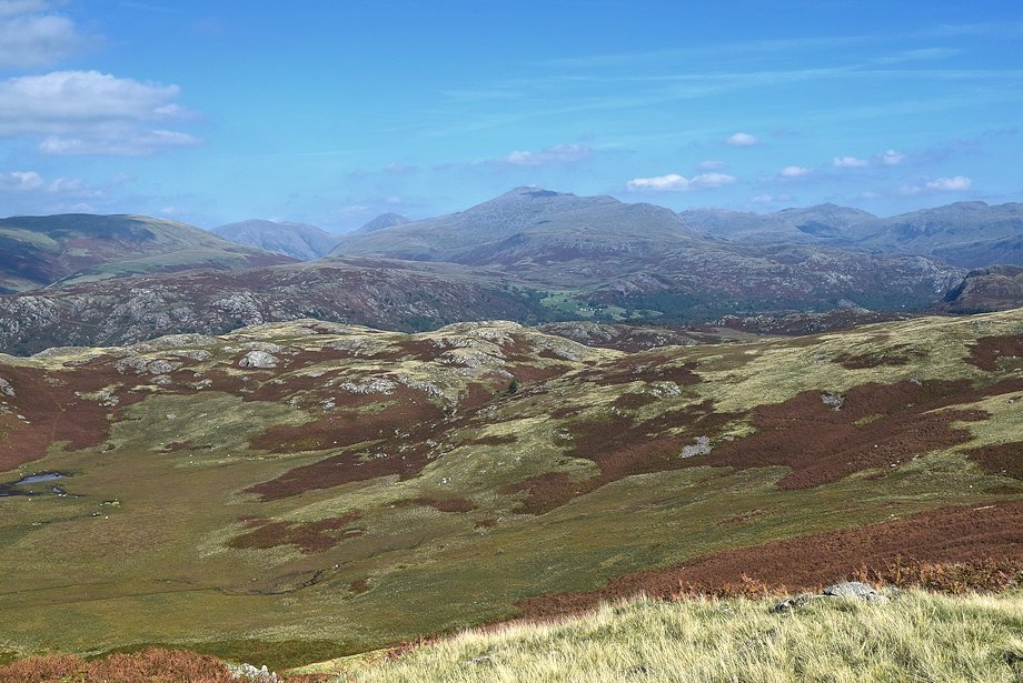
| Looking back to Harter Fell and Green Crag with Grey Friar appearing between them |
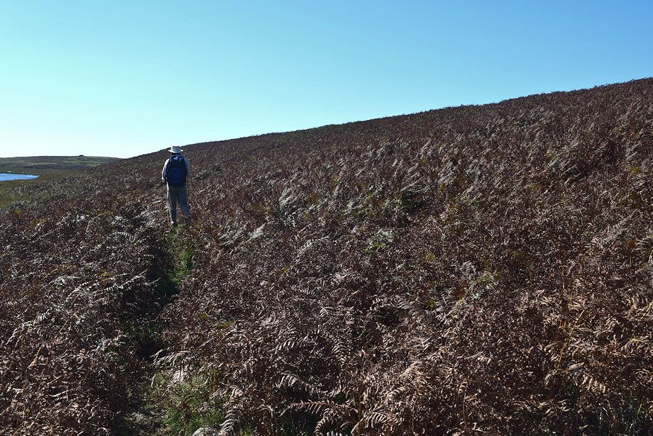 |
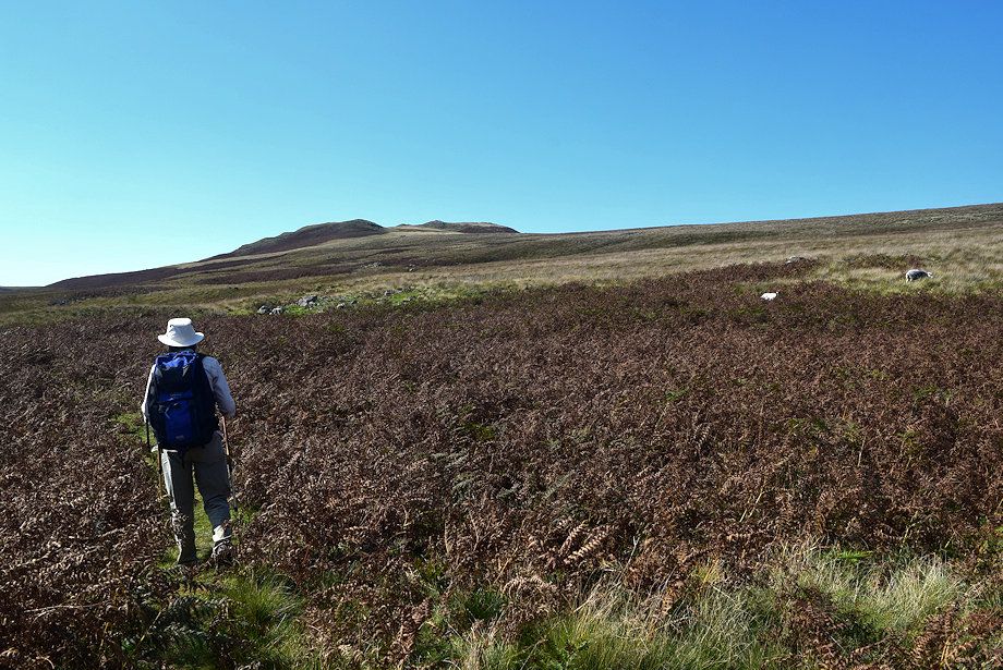
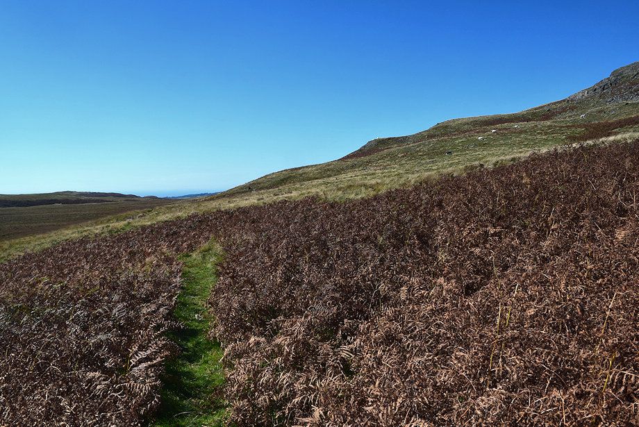
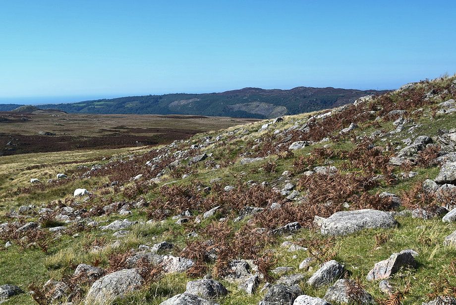
| We pass through a long and broad area of bracken, in summer this would make the path much more difficult to trace |
 |
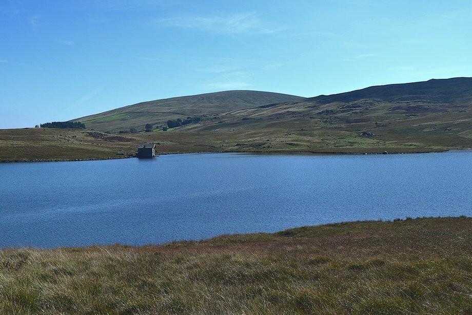
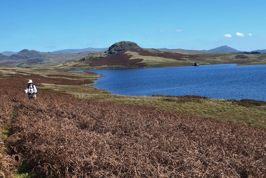
| The summit of Caw appears over the Devoke Water boathouse |
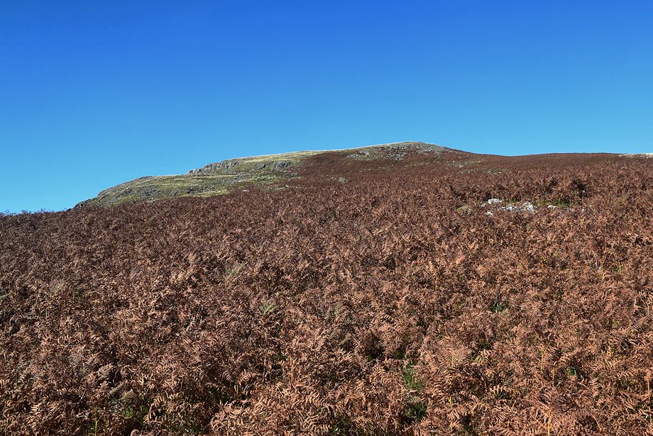 |
| Water Crag above the bracken |
 |
| Looking back, Seat How flanked by Green Crag on the left and Caw on the right |
 |
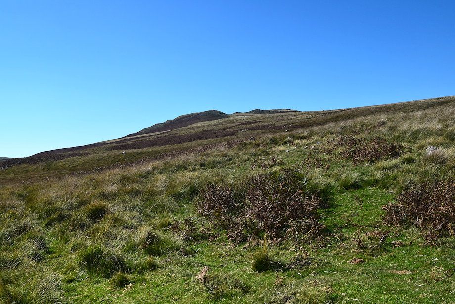
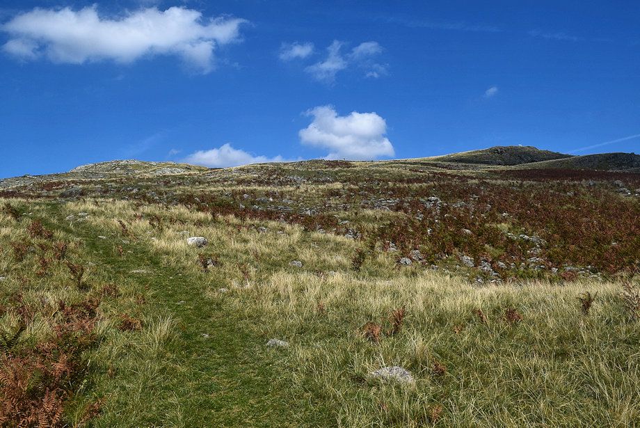
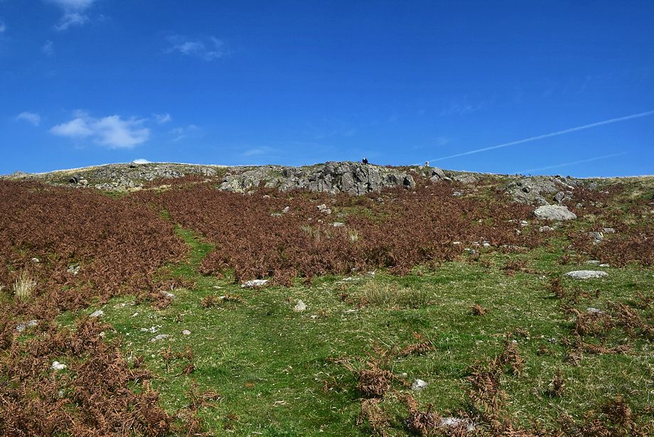
| The path becomes clearer as it emerges from the bracken. We will leave it just before it begins its descent towards the River Esk and climb Water Crag's broad southern slopes |
 |
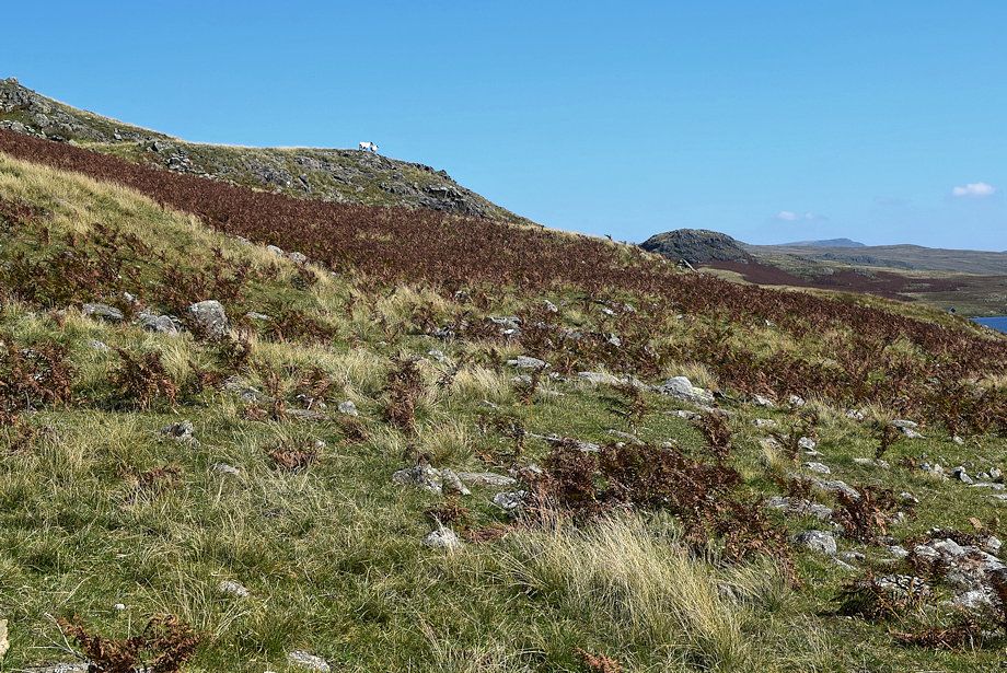
| The start of the path to the summit of Water Crag |
 |
| Sentinel sheep, they have been observing us all the way along the shore path |
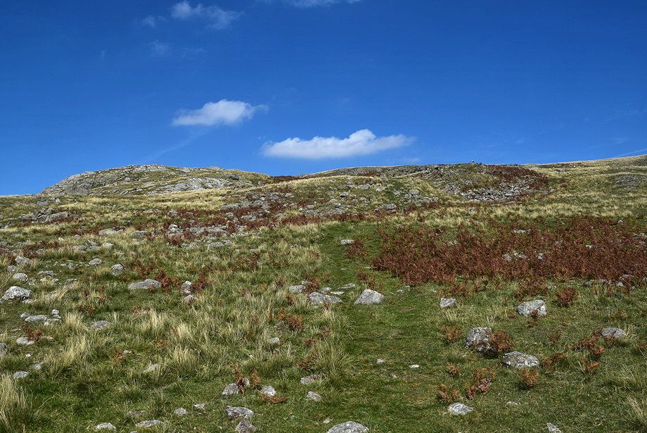 |
| The path generally keeps to the right of the rocky outcrops |
 |
| Muncaster Fell makes an appearence acoss the boulder strewn lower slopes |
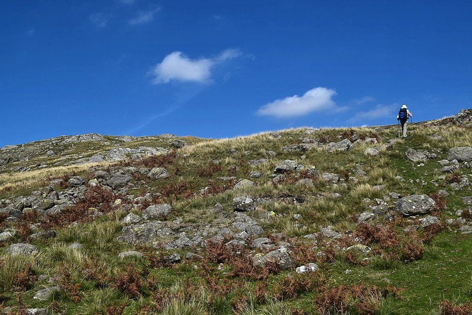 |
| It's only a 190 foot ascent from the shore path to the summit at a very gentle angle |
 |
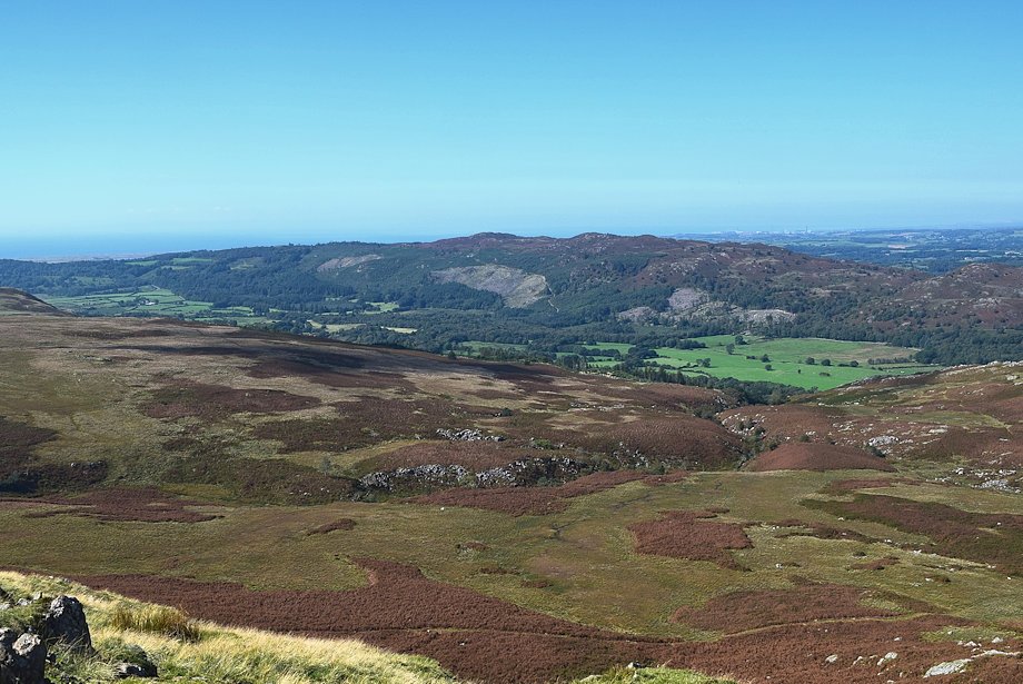
| Looking across to Caw and the Dunnerdale Fells |
 |
| The last of the rocky outcrops, the path slips between them |
 |
| Looking back on the route of ascent |
 |
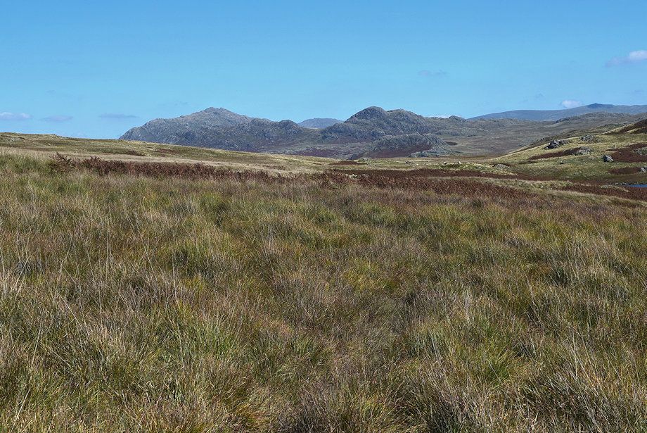
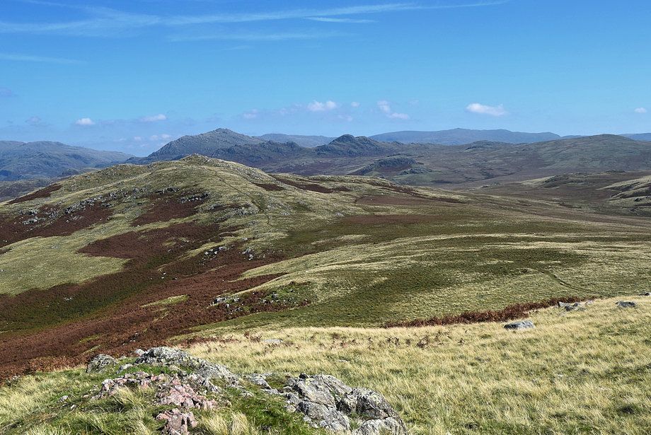
| Harter Fell,Grey Friar, Swirl How, Green Crag, Brim Fell and Dow Crag over the summit ridge |
 |
| Woodend Height and White Pike across Devoke Water |
 |
| The summit of Water Crag comes into view |
 |
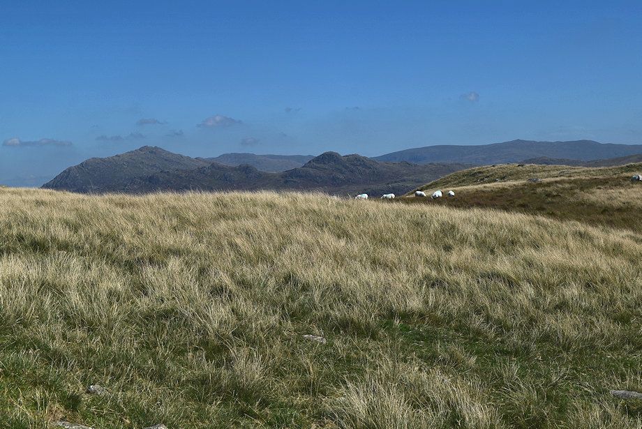
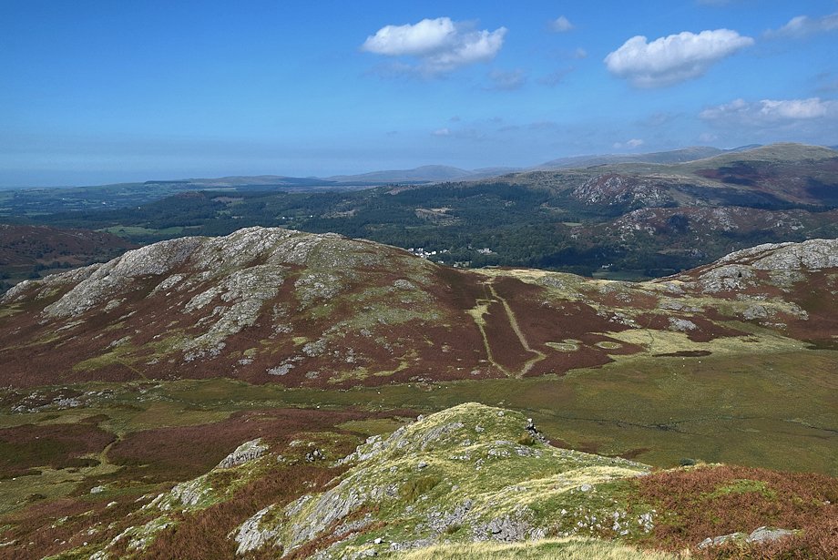
| The Coniston Fells and Caw on the horizon |
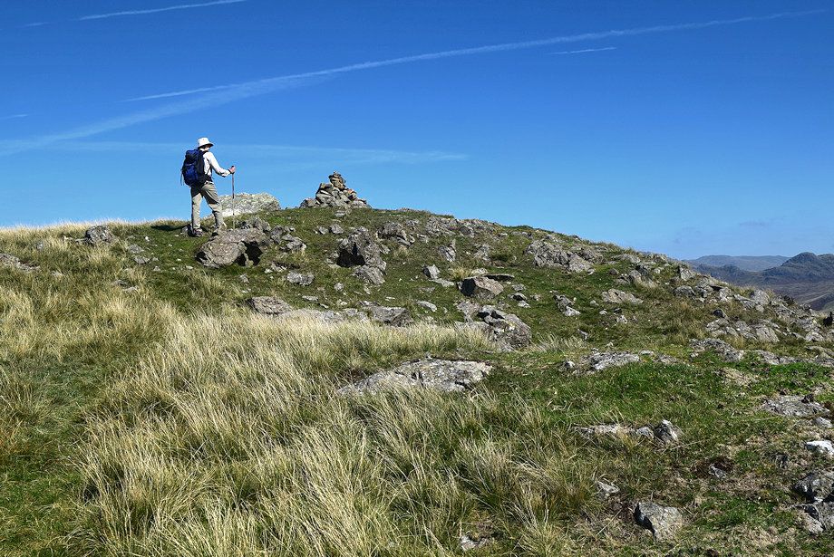 |
| Approaching the summit of Water Crag |
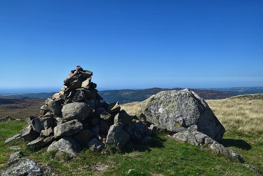 |
| The summit cairn on Water Crag |
 |
| Seat How and Devoke Water from the summit of Water Crag |
 |
| Hesk Fell from the summit of Water Crag |
 |
| Woodend Height and White Pike from the summit of Water Crag |
 |
| Muncaster Fell from the summit of Water Crag |
 |
| Brantrake Crags from the summit of Water Crag |
 |
| Garner Bank across Brantrake Moss from the summit of Water Crag |
 |
| Scafell from the summit of Water Crag |
 |
| The connecting ridge to the summit of Rough Crag |