 |
| The walk starts from a small parking area on the minor road 160 yards west of Water Yeat |
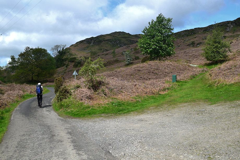 |
| The minor road leads to Greenholme Farm which is about a third of a mile from Water Yeat |
 |
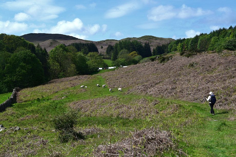
| Tottlebank Height from the road to Greenholme Farm |
 |
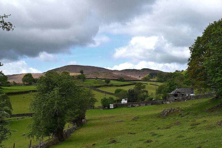
| Approaching Greenholme Farm |
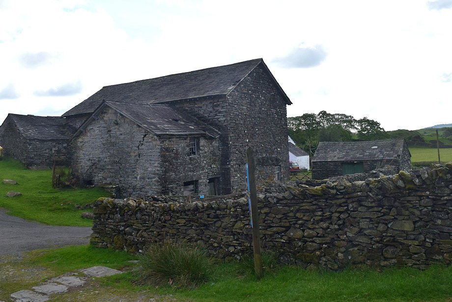 |
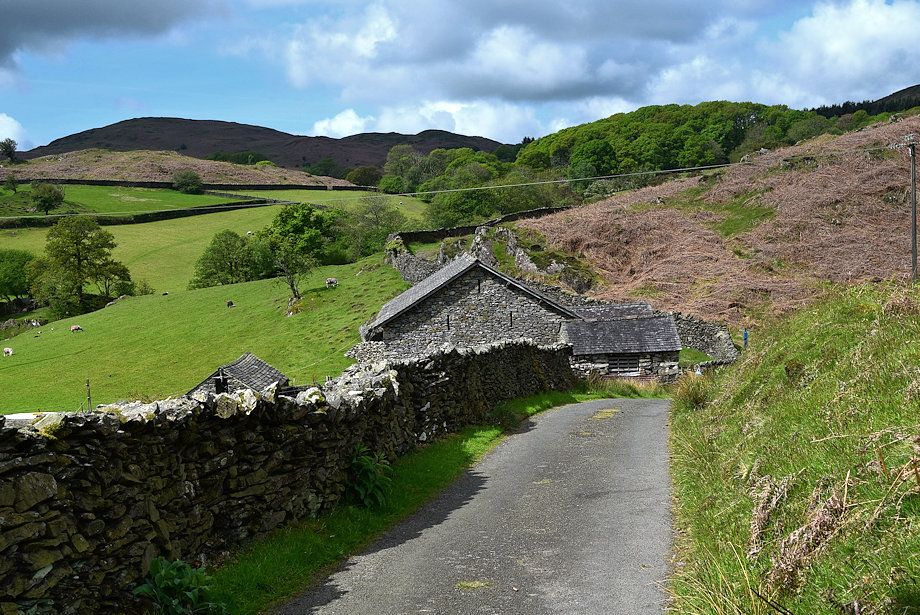
| The metalled road ends at Greenholme Farm |
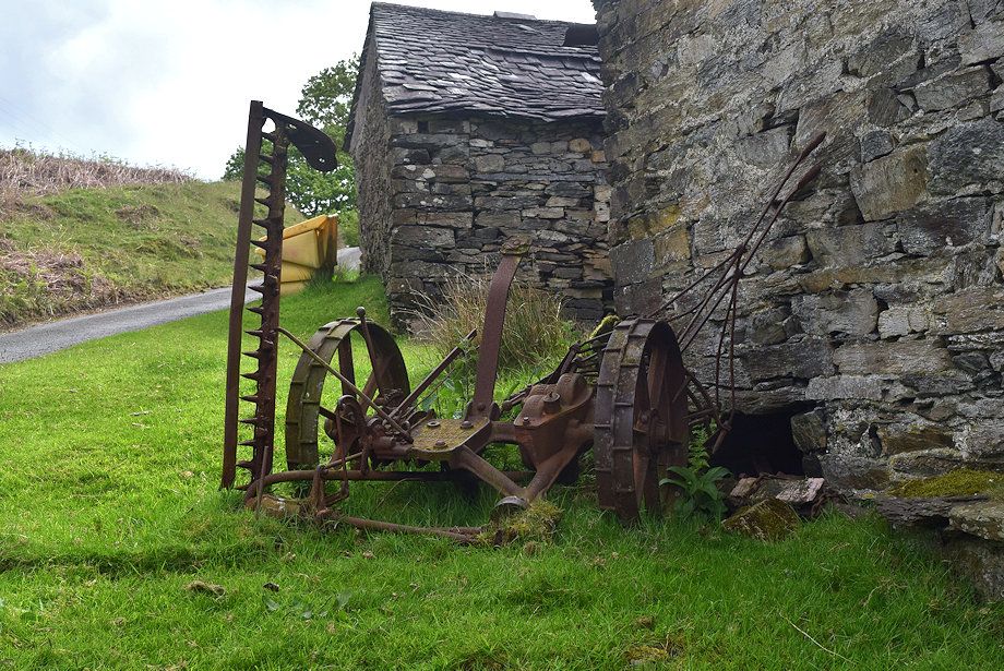 |
| An old Bamford finger mower |
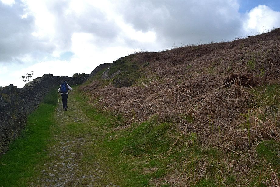 |
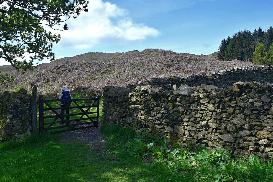
| The footpath to Beacon Tarn continues on beyond the farm |
 |
| The footpath leads onto a walled lane alongside Yew Barrow Wood |
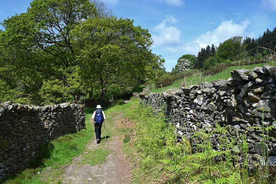 |
| The walled lane beside Yew Barrow Wood |
 |
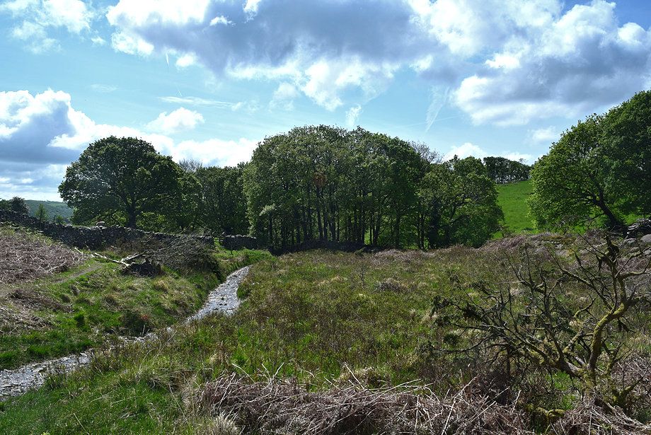
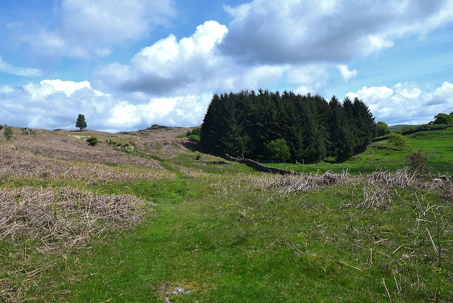
| The lane is quite short and leads to the shallow valley of Tarn Beck |
 |
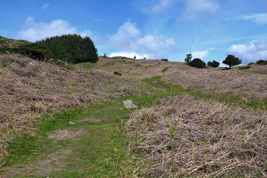
| The path to Beacon Tarn above Yew Barrow Wood |
 |
| Looking back to Yew Barrow Wood from the Beacon Tarn path |
 |
| We only follow the Beacon Tarn path for 50 yards or so before turning off it onto an indistinct path which crosses Tarn Beck and passes through a small grove of willow trees |
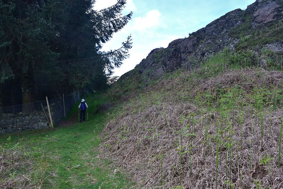 |
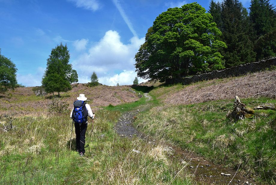
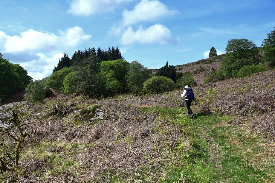
| The path then rises gently alongside a conifer plantation before descending a more open slope towards Greenholme Beck |
 |
| Looking back to Slatestone Fell above the willow grove from the edge of the conifer plantation |
 |
| Tottlebank Height from the descent to Greenholme Beck where the path will join the Cumbria Way |
 |
| Looking over to the south ridge of Wool Knott |
 |
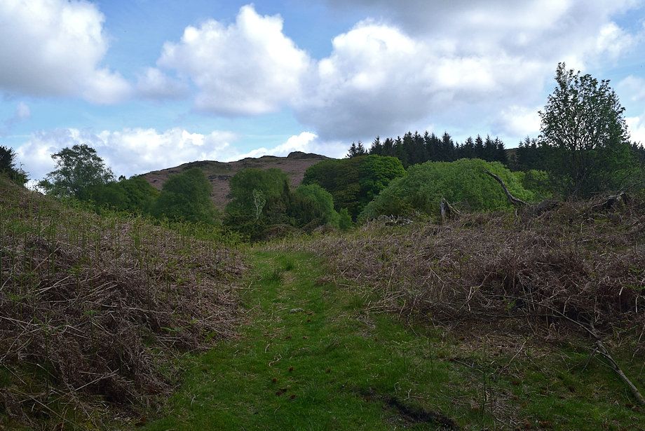
| Looking back to the conifer plantation |
 |
| We join the Cumbria Way just above the point where it crosses Cockenskell Bridge over Greenholme Beck |
 |
| Looking back along the Cumbria Way as it rises towards Beacon Tarn |
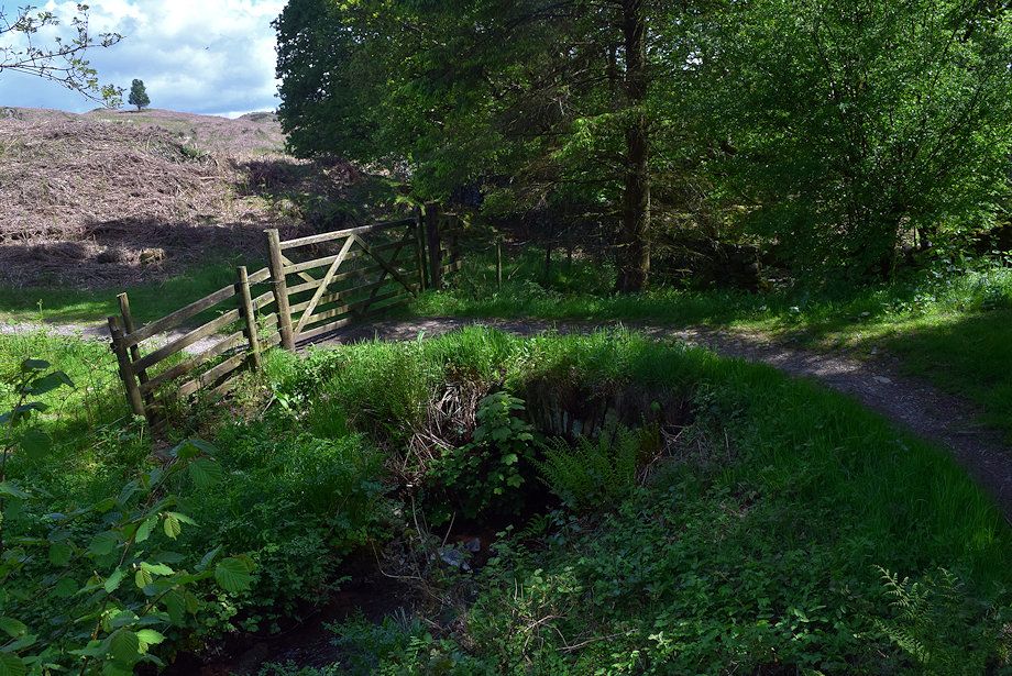 |
| The tiny Cockenskell Bridge almost hidden by foliage |
 |
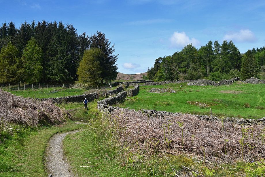
| Passing though the pasture fields of Cockenskell Farm |
 |
| Tottlebank Height from the Cumbria Way |
 |
| Looking back to Wool Knott from the Cumbria Way |
 |
| We leave the Cumbria Way when it passes through a gate |
 |
| We turn right from the gate onto the path to Woodland |
 |
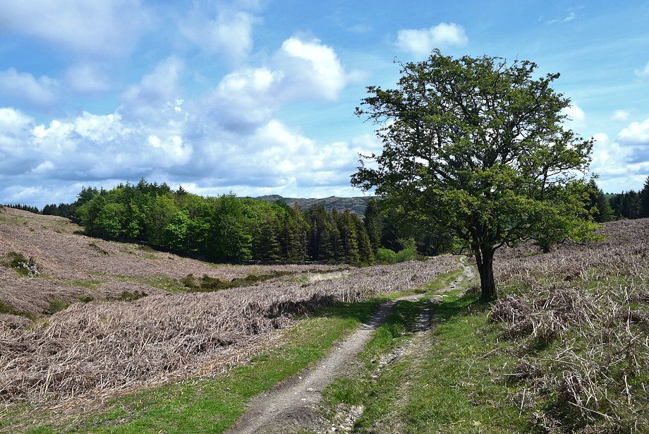
| We follow the Woodland path for a quarter of a mile to a 'crossroad' of paths which lies just beyond the solitary tree on the left |
 |
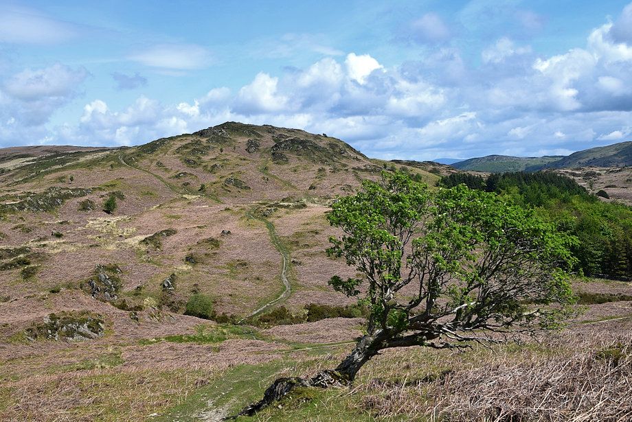
| Wool Knott from the 'crossroad' |
 |
| Looking back from the 'crossroad' |
 |
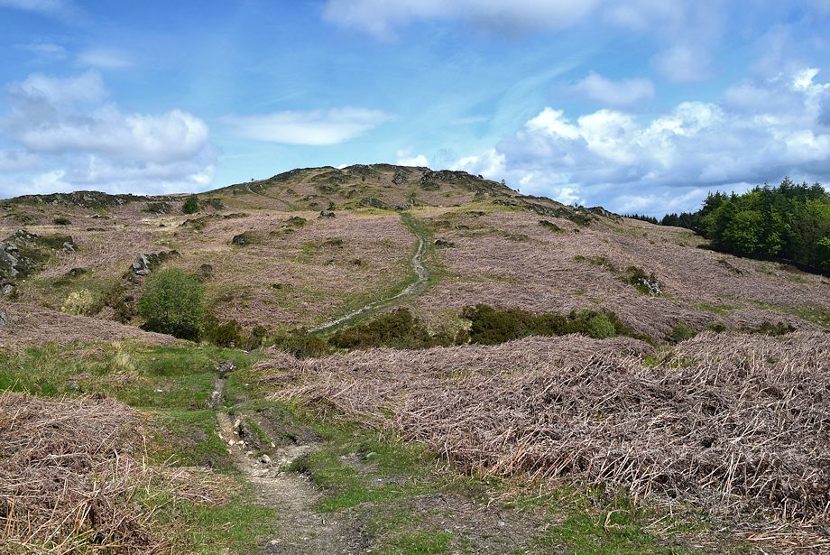
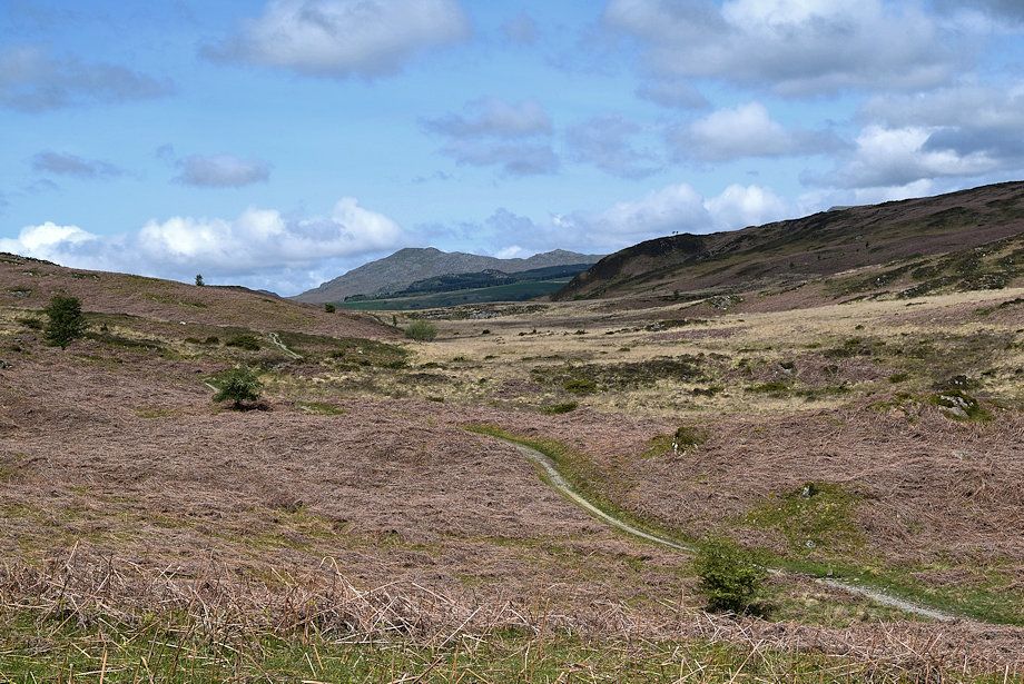
| The start of the path over Round Haw to Tottlebank Height |
 |
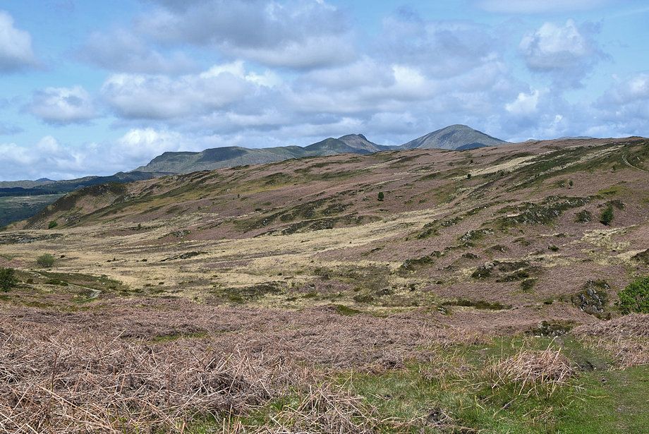
| Looking over to Caw and Pikes from the path on Round Haw |
 |
| Top o' Selside and Arnsbarrow Hill from the path on Round Haw |
 |
| Looking back towards Wool Knott |
 |
| Red Screes, Caudale Moor and High Street appear on the distant horizon between the slopes of Beacon Fell abd Spy Hill |
 |
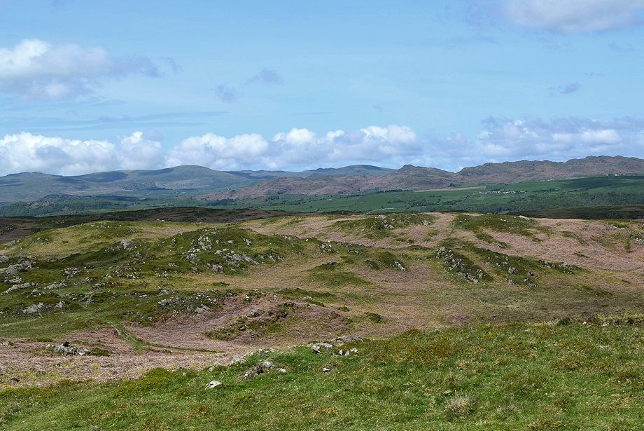
| The clear path on Round Haw avoids the summit of Tottlebank Height |
 |
| Looking over Woodland Fell to the Coniston Fells |
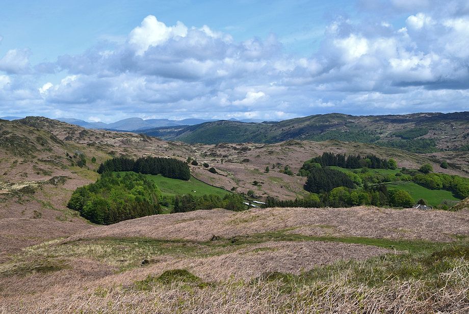 |
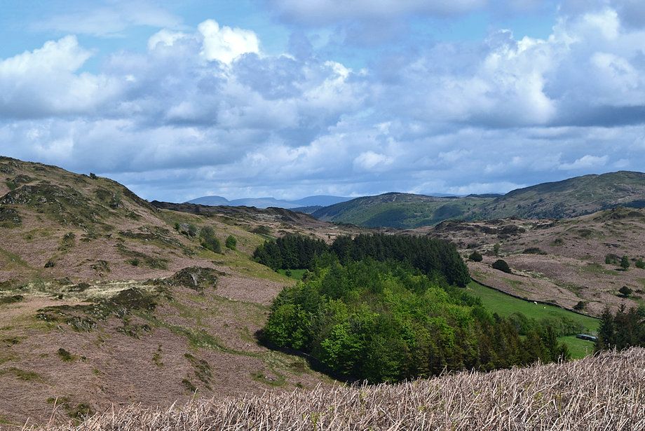
| Looking back over Blawith Common |
 |
| Leave the main path where it turns to the south west and begins to level out and climb directly to the summit of Tottlebank Height |
 |
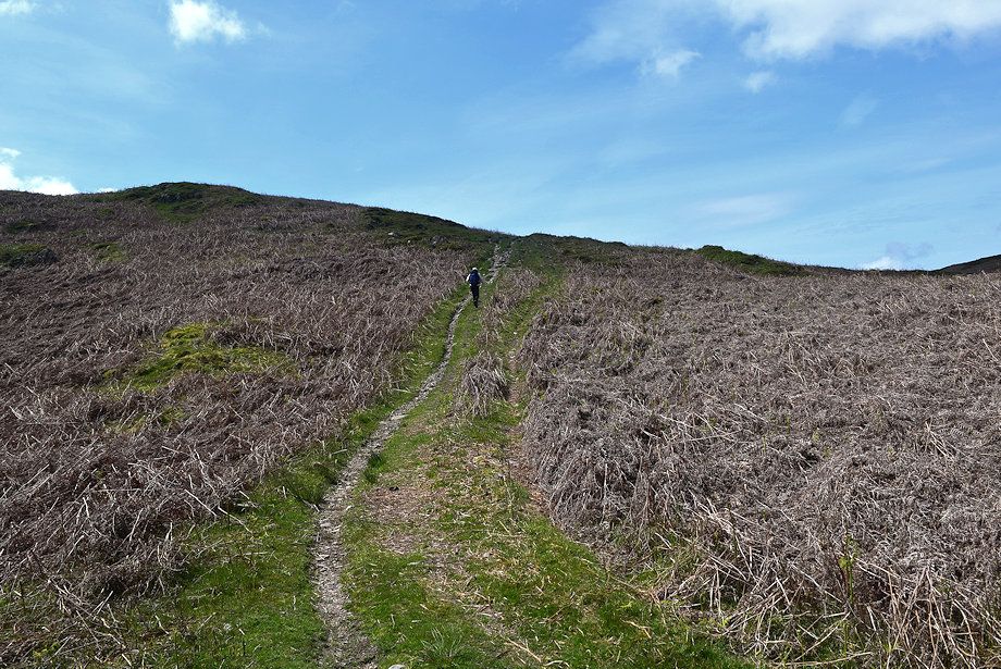
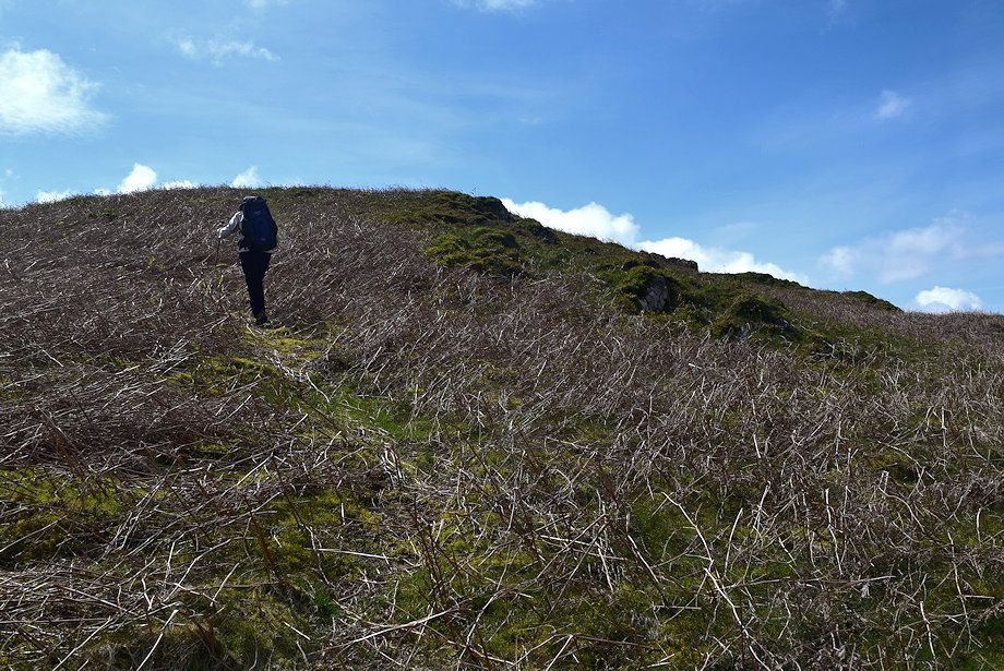
| Looking back from the climb to Tottlebank Height |
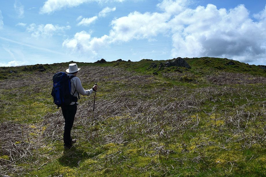 |
| The summit cairn comes into view |
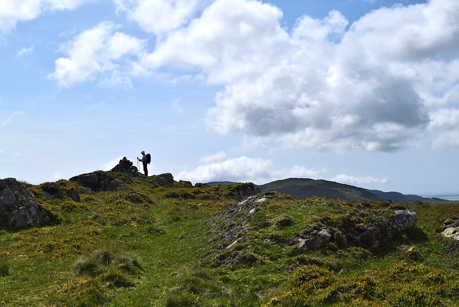 |
| The summit of Tottlebank Height |
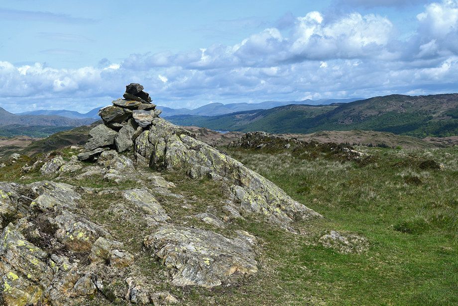 |
| The summit cairn on Tottlebank Height |
 |
| Top o' Selside and Arnsbarrow Hill from the summit of Tottlebank Height |
 |
| The Crake Valley from the summit of Tottlebank Height |
 |
| Kirkby Moor and Burney from the summit of Tottlebank Height |
 |
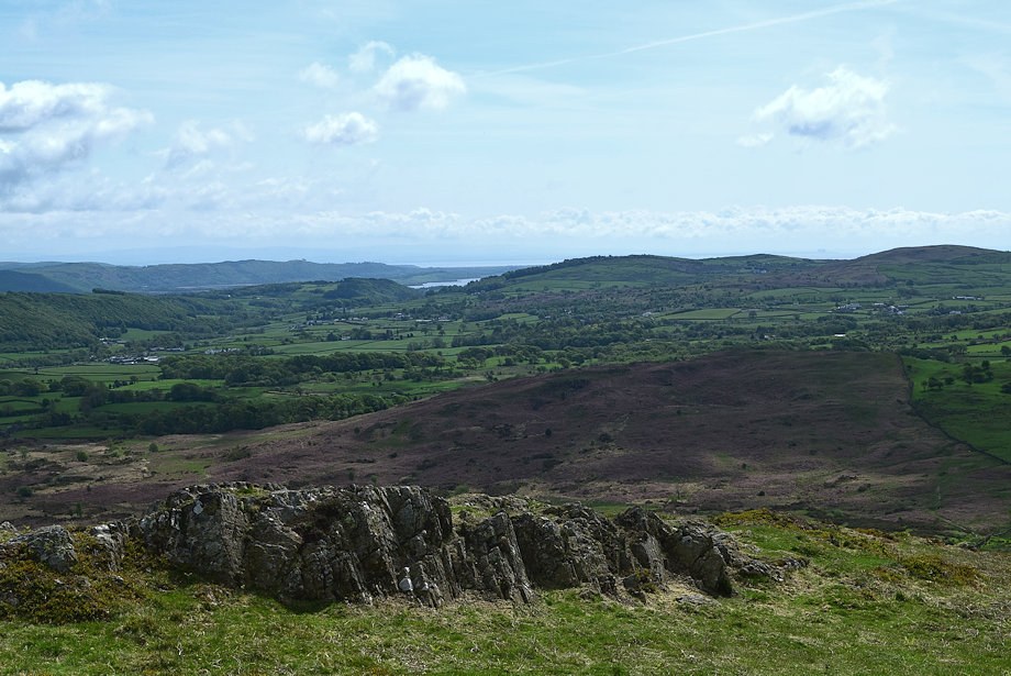
| The Duddon Estuary from the summit of Tottlebank Height |
 |
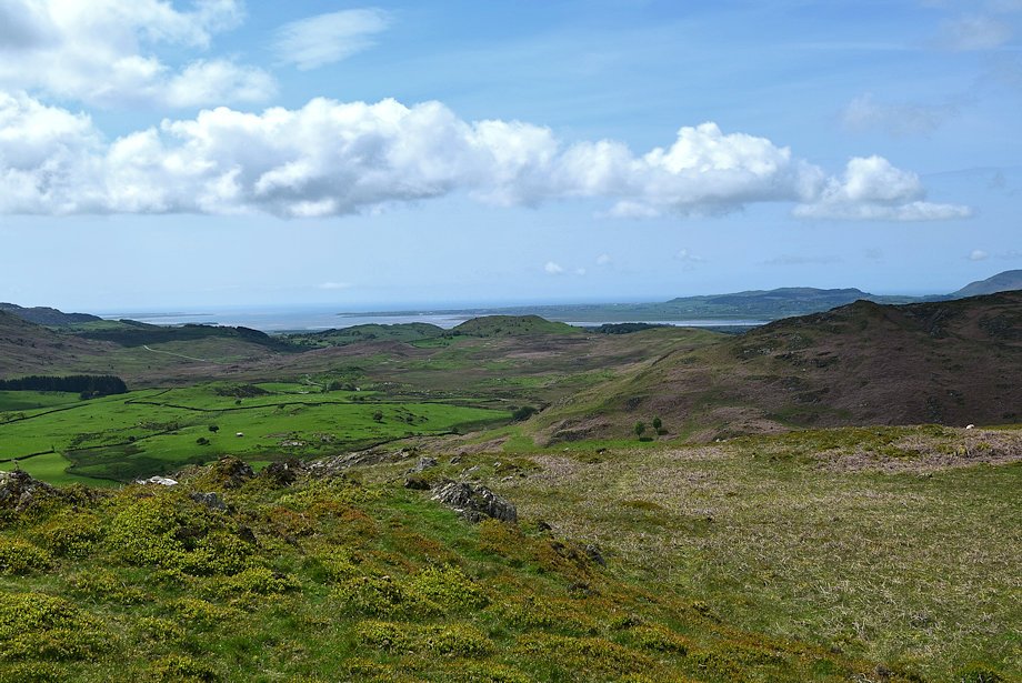
| Blawith Knott from the summit of Tottlebank Height |
 |
| A long line of Wainwright's Outlying Fells form the horizon, Kinmont Buck Barrow, Buck Barrow, Burn Moor, Whit Fell, Stainton Pike, Yoadcastle, Hesk Fell, Stickle Pike and Raven's Crag |
 |
| Caw, Pikes and Harter Fell from the summit of Tottlebank Height |
 |
| The Coniston Fells from the summit of Tottlebank Height |
 |
| Wetherlam, Whiteside, Helvellyn, Nethermost Pike, Dollywaggon Pike, Fairfield,Hart Crag, Dove Crag, Little Hart Crag, Red Screes, Caudale Moor, High Street, Froswick, Ill Bell and Harter Fell on the horzon |
