 |
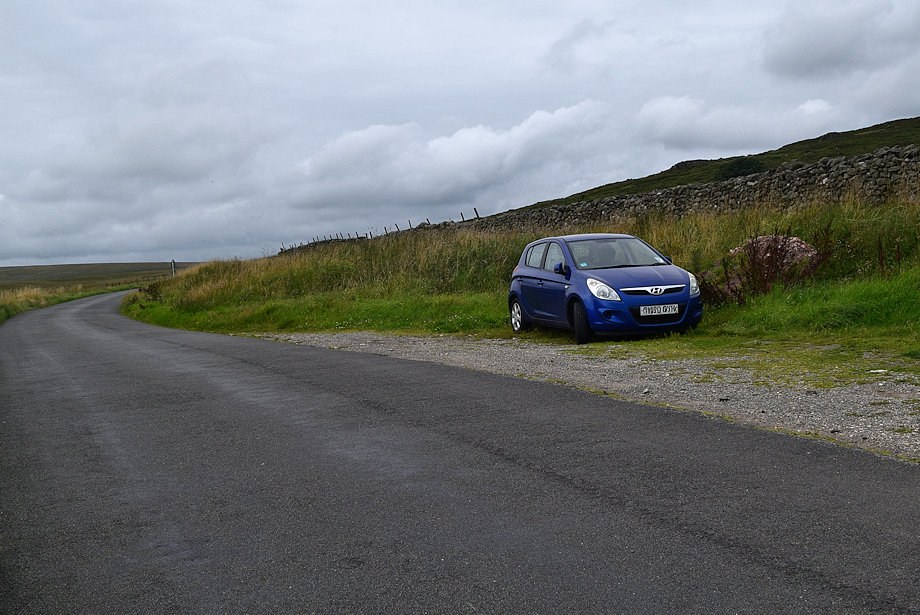
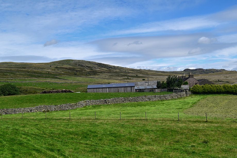
| The walk starts from a rough lay-by on the Birker Fell Road which is about 250 yards to the north of Crosbythwaite Farm |
 |
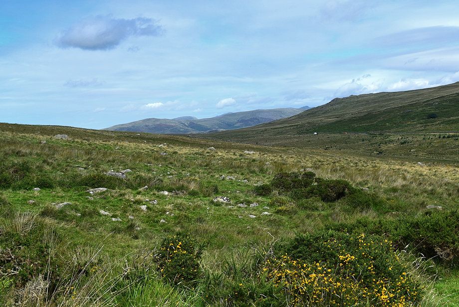
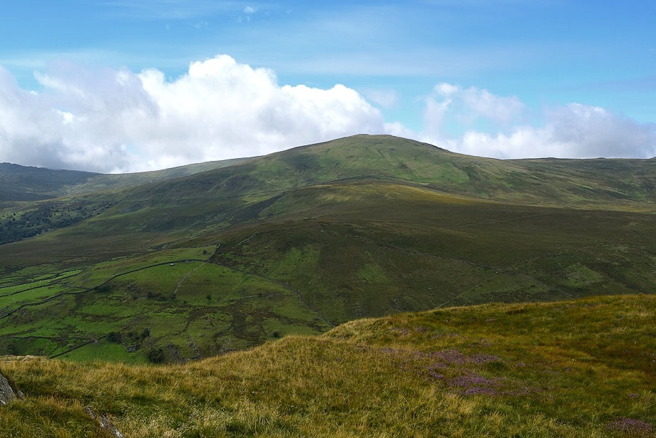
| Hesk Fell from the lay-by |
 |
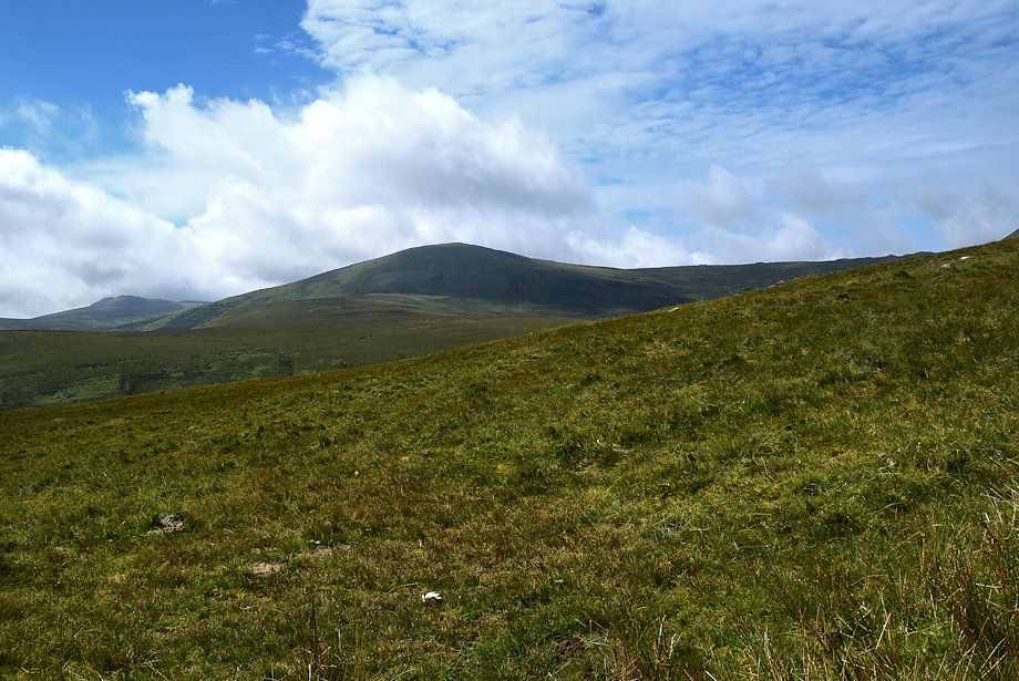
| The Pike from the lay-by |
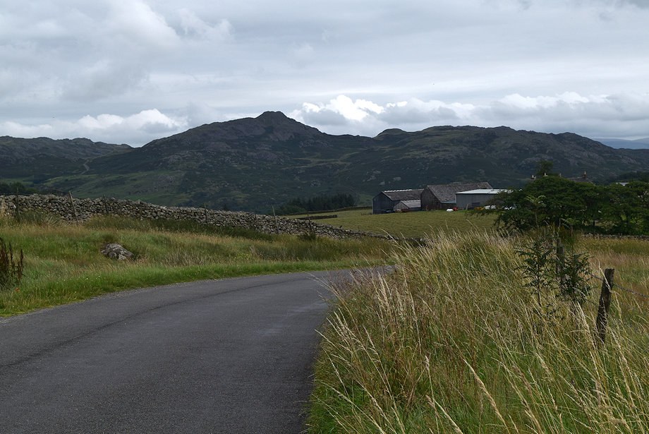 |
| We walk down the road towards Crosbythwaite Farm |
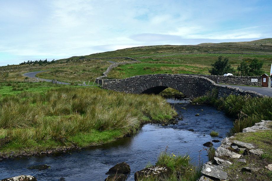 |
| Crosby Beck Bridge |
 |
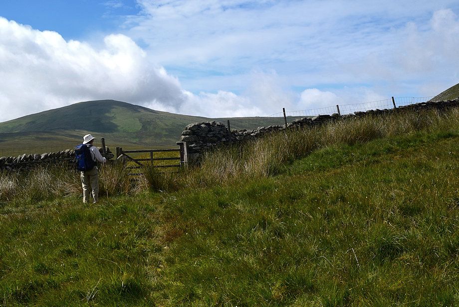
| A little over 200 yards from Crosby Beck Bridge is the start of a bridleway path which rises through three fields to the col between The Pike and Hesk Fell before descending to Holehouse Gill Bridge |
 |
| Crosbythwaite Farm from the start of the bridleway path |
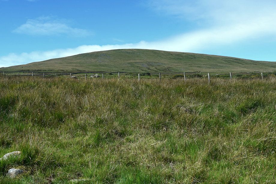 |
| Hesk Fell from the start of the bridleway path |
 |
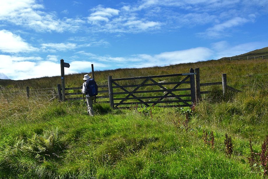
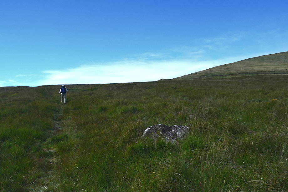
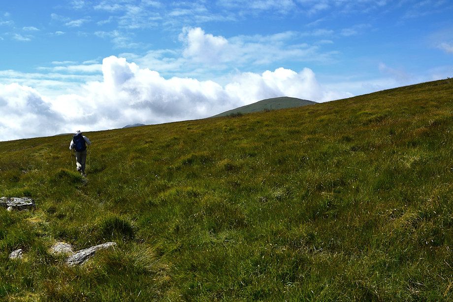
| A clear path rises from the gate but soon fades and disappears completely amongst reeds and sphagnum moss bog |
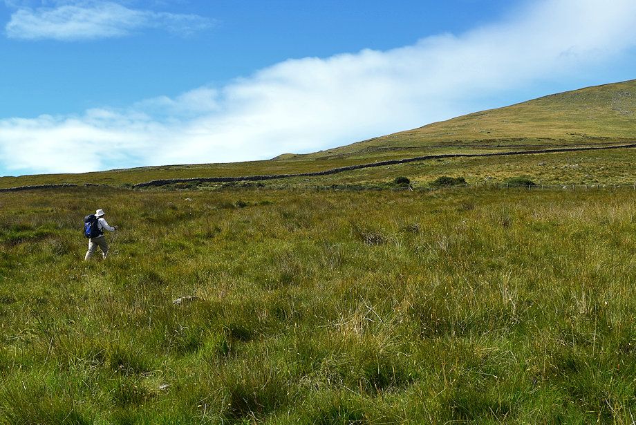 |
| Traversing across the field to follow the line of a post and wire fence which leads up to gate at the top of the field |
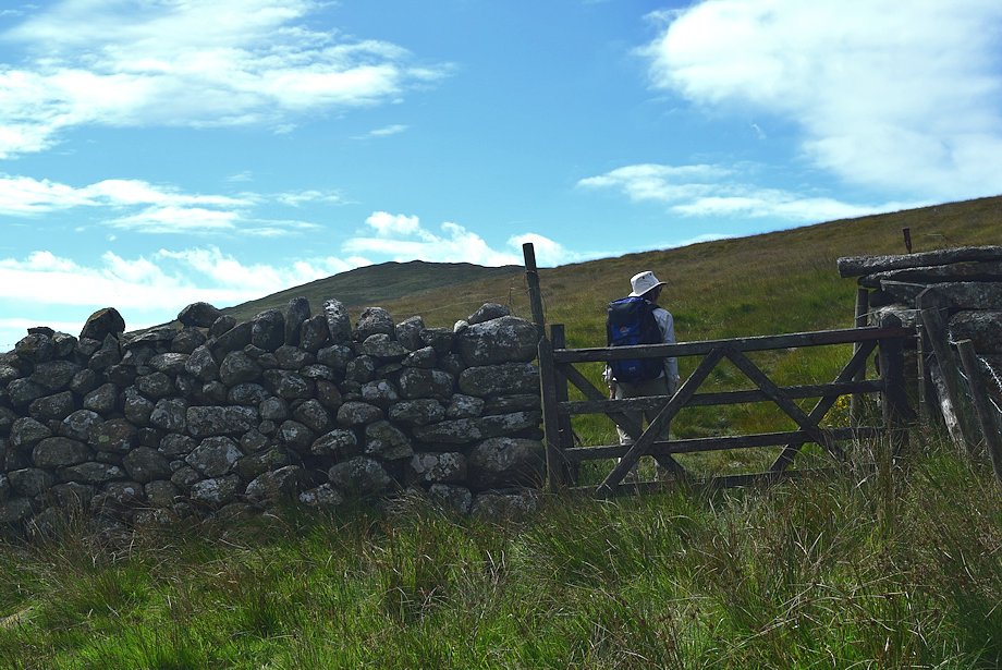 |
| The gate at the top of the first field. The crossing of the first field has been arduous to say the least what with its mixture of clumps of sedge, gorse, reed beds and bog, it's clear the bridleway has long fallen into disuse |
 |
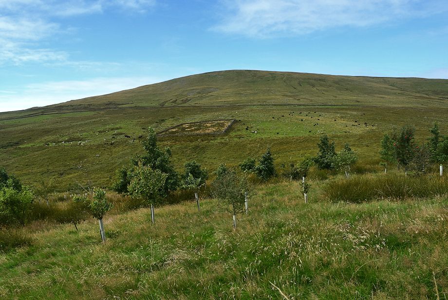
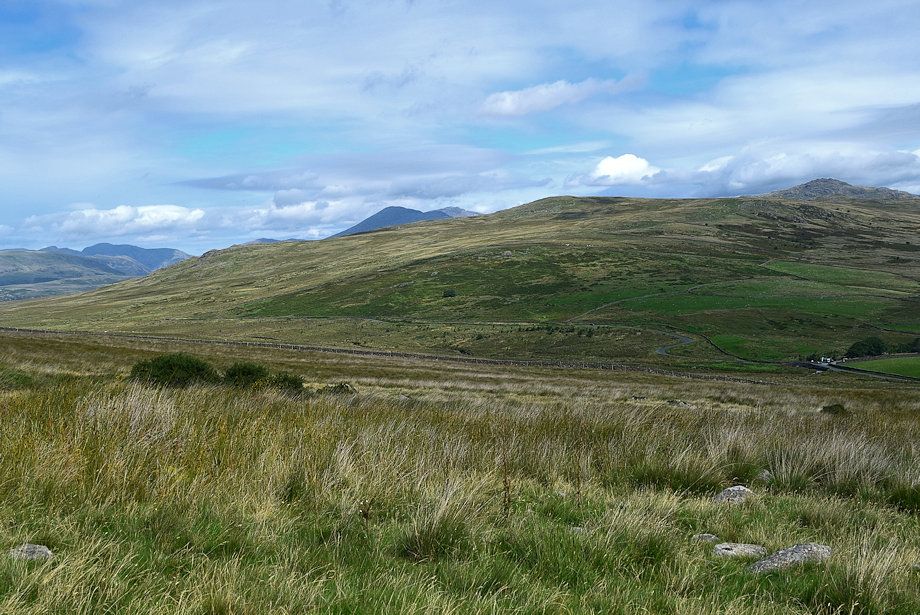
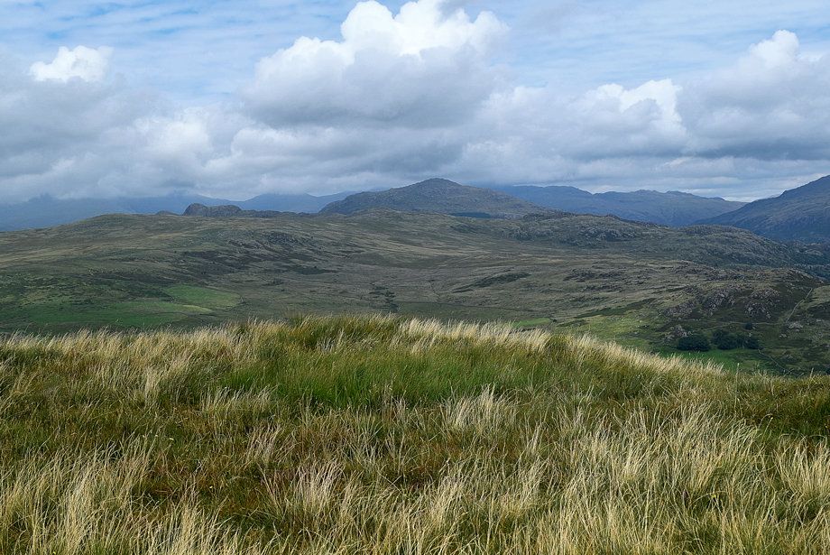
| The Coniston Fells from the top of the first field |
 |
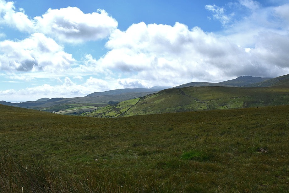
| Looking back to Crosbythwaite Farm from the top of the first field |
 |
|
Whin Rigg, Seatallan and Illgill Head beyond the summit of the Birker Fel Road
|
 |
| Stickle Pike from the top of the first field |
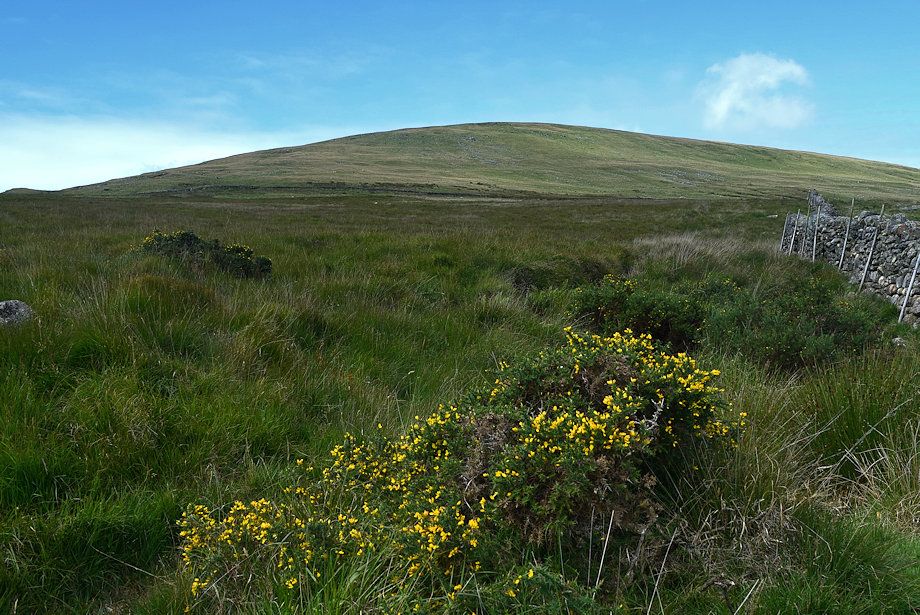 |
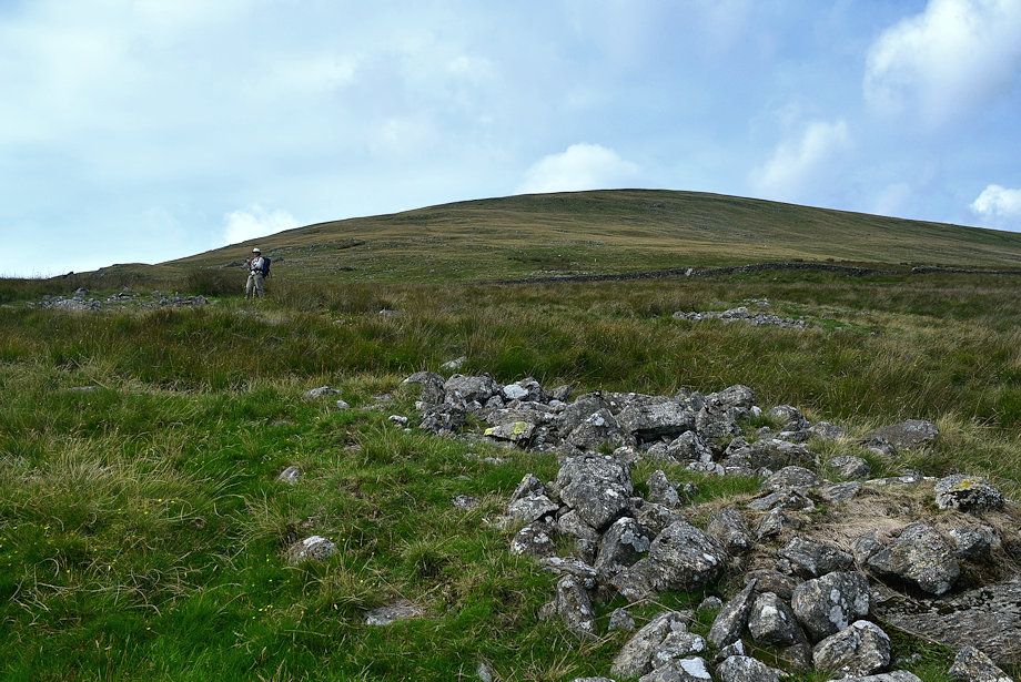
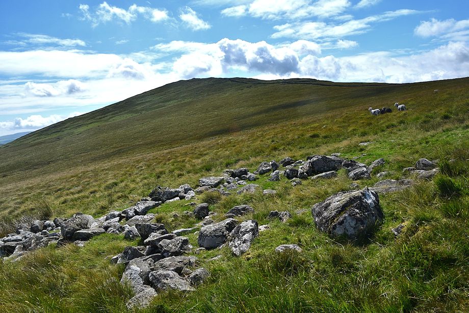
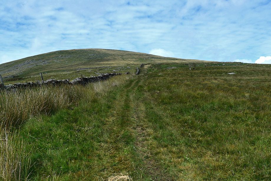
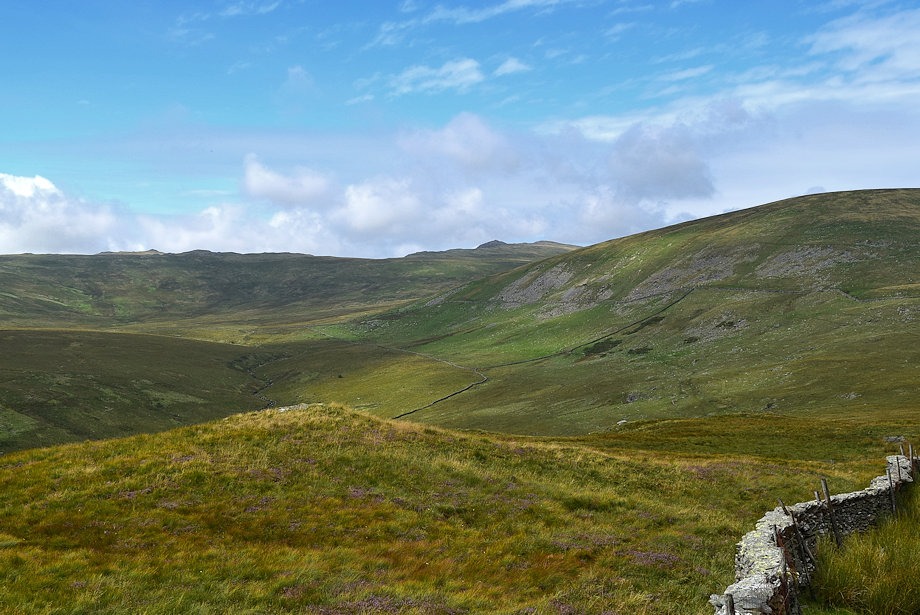
| Hesk Fell from the top of the first field |
 |
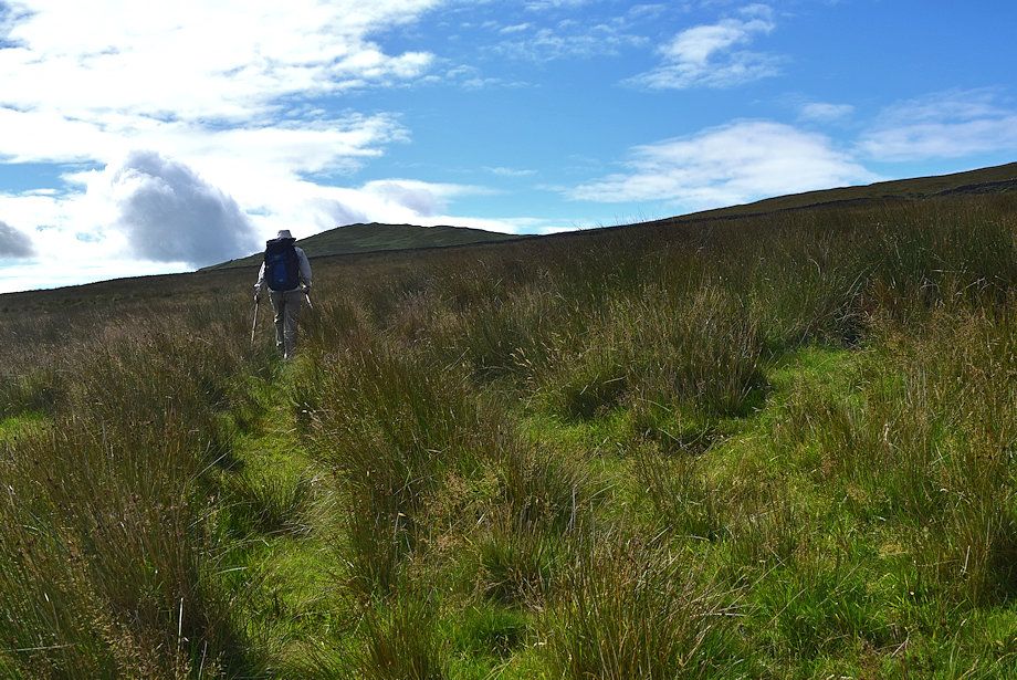
| By contrast the path through the second field is quite clear and easy to follow |
 |
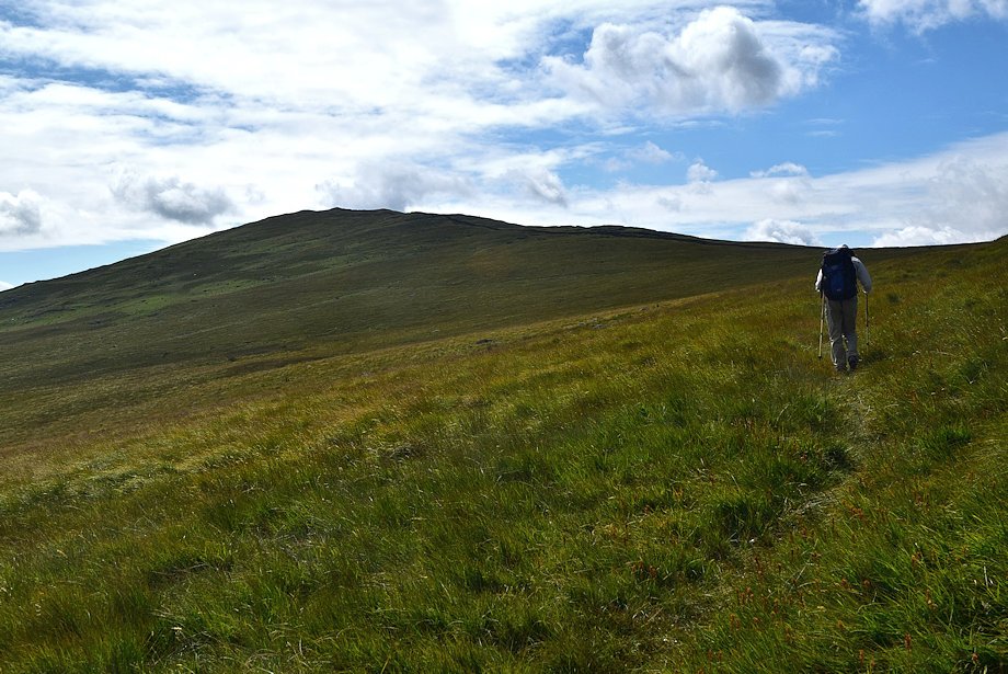
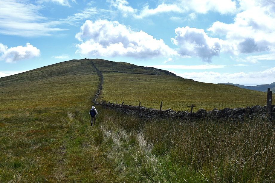
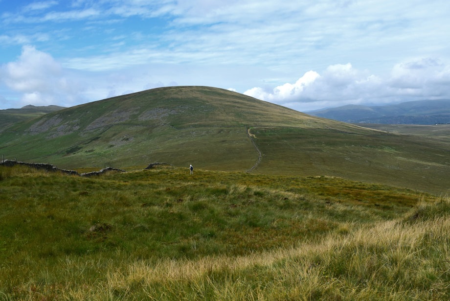
| Our objective, The Pike, from the second field |
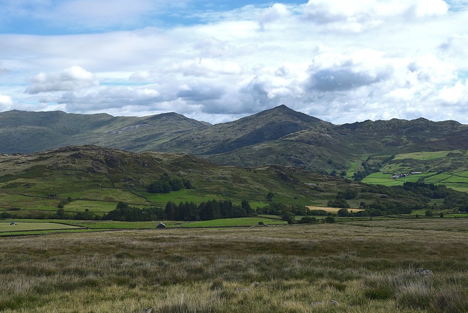 |
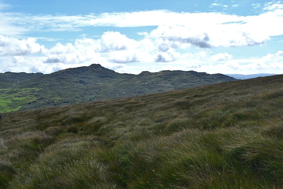
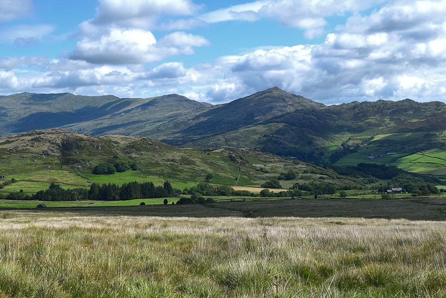
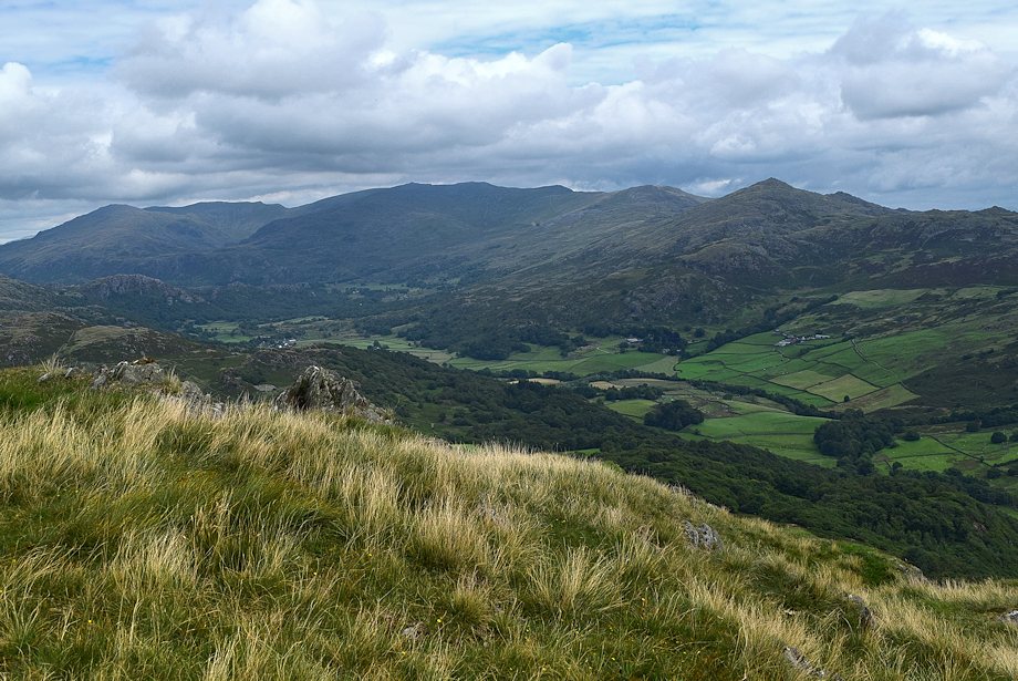
| Caw from the second field |
 |
| Stickle Pike and the Dunnerdale Fells from the second field |
 |
| Hesk Fell from the second field |
 |
| Scafell and Scafell Pike appear over the slopes of Great Worm Crag |
 |
| This whole area on both sides of the Birker Fell Road has evidence of prehistoric occupation, these are clearence cairns with the odd funerary cairn amongst them dating back to the late Bronze age |
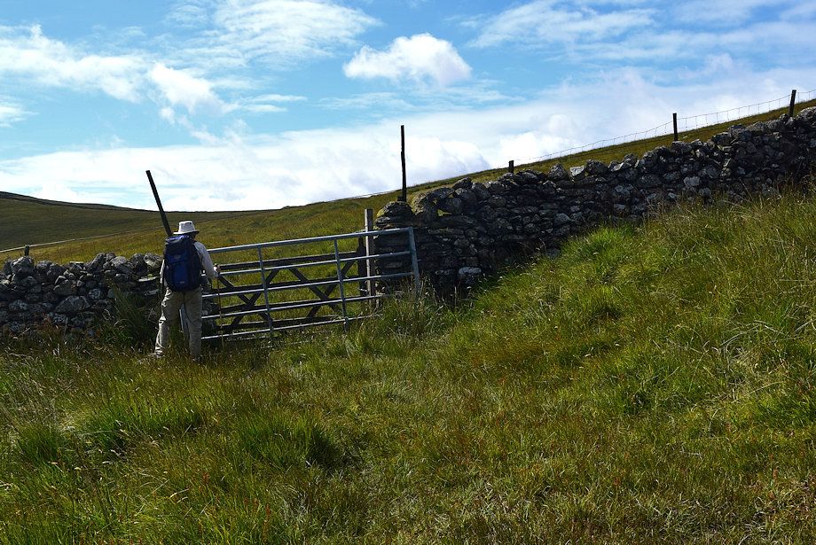 |
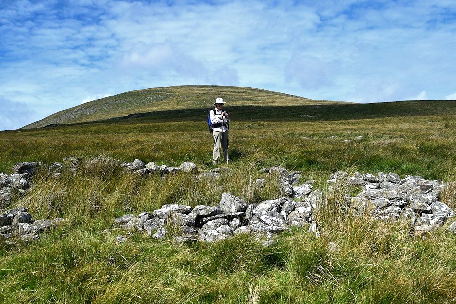
| Well this confirms that the bridleway has indeed fallen into disuse. This is gate into the third field is probably the worst one to pass through in the Lake District. A heavy metal gate without hinges which is merely attached to the wall by an enormous spring with a decrepit wooden gate barely two feet beyond it. There is no way that a horse could possible pass through this obstacle. It is difficult to open the gates more than a few inches to squeeze through them while hampered by them being sited in the middle of a boggy stream, fortunately there are a couple of flat stones to stand on while closing the gates |
 |
|
Caw from the notorious gate
|
 |
| The bridleway continues on across a third field towards the col between The Pike and Hesk Fell. The third field has more evidence of prehistoric occupation which includes the remains of huts and a large settlement enclosure |
 |
| The Pike from from the remains of one of the huts |
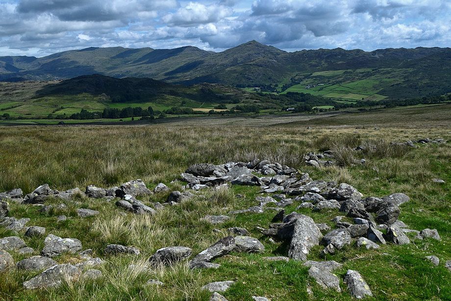 |
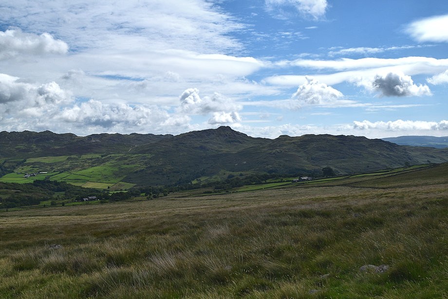
| Caw from the northern side of the settlement enclosure |
 |
| Birker Fell Moor from the reamins of another hut |
 |
| We continue alongside the settlement's ruined western wall |
 |
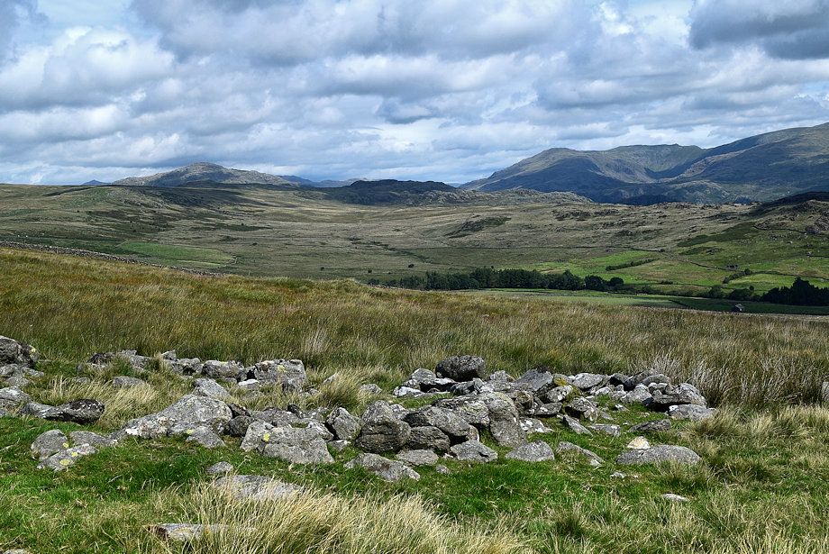
| The remains of a hut on the southern side of the settlement's enclosure wall |
 |
| The Pike from the edge of the settlement enclosure |
 |
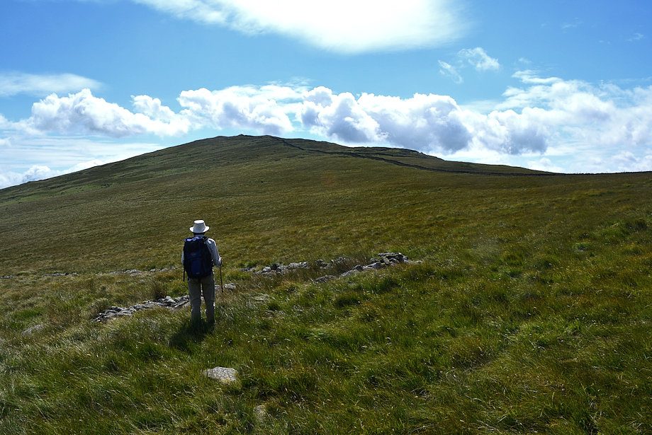
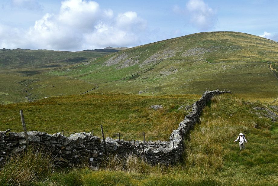
| Approaching the col between The Pike and Hesk Fell |
 |
| We leave the bridleway as it continues on through the gate and descends more steeply to Holehouse Gill Bridge |
 |
| Buckbarrow and Whit Fell from the col |
 |
| Black Combe from the col |
 |
| Hesk Fell from the col |
 |
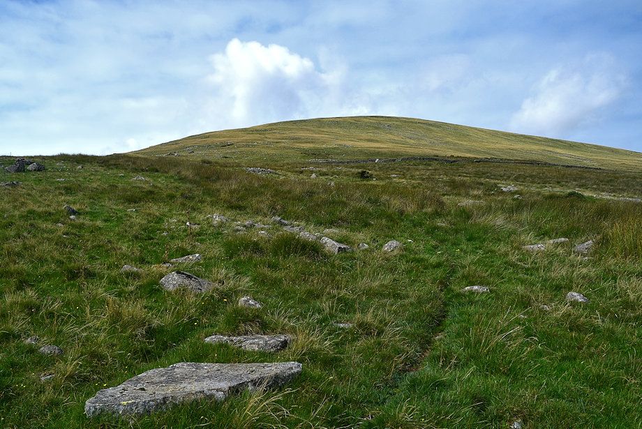
| Starting the climb from the col to the summit of The Pike |
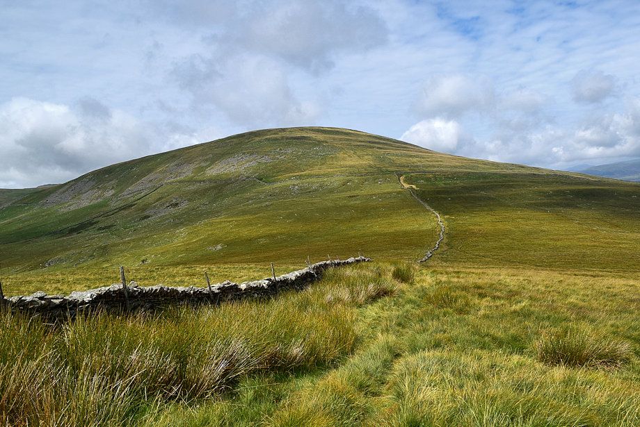 |
| Looking back to the col from the climb to The Pike |
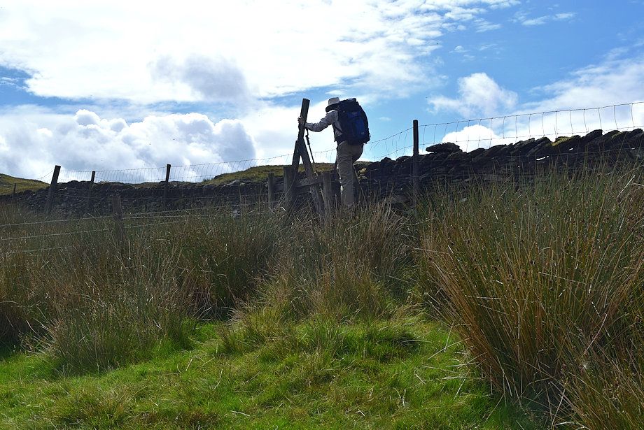 |
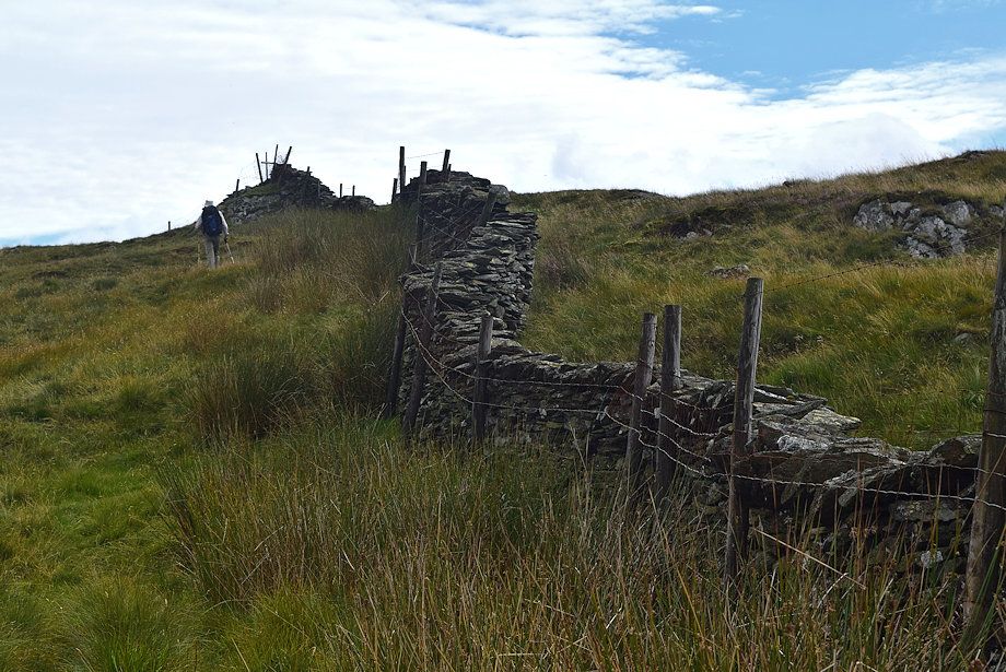
| Halfway up the ridge a post and wire fence is crossed by a substantial stile |
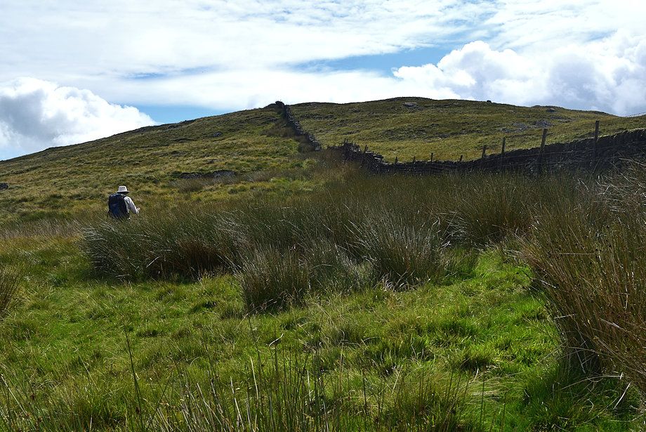 |
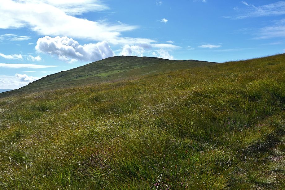
| Continuing along the upper part of the ridge |
 |
| Looking back from just below the summit |
 |
| Approaching the summit of The Pike |
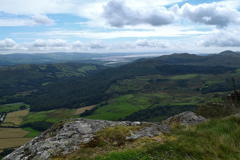 |
| The Duddon Estuary from the summit of THe Pike |
 |
| Black Combe from the summit of The Pike |
 |
| Buckbarrow from the summit of The Pike |
 |
| Whit Fell from the summit of The Pike |
 |
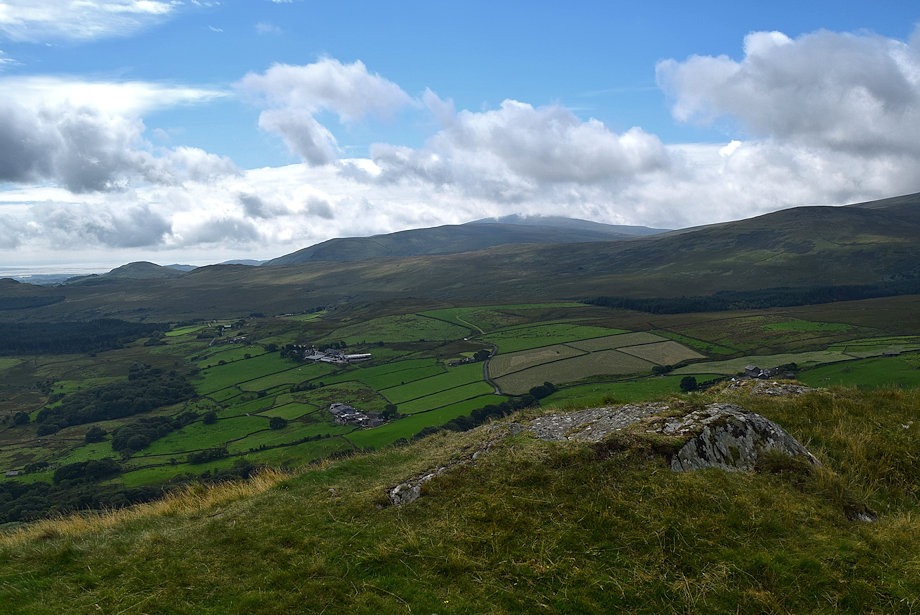
| Stainton Pike, Yoadcastle and Woodland Height from the summit of The Pike |
 |
| Hesk Fell from the summit of The Pike |
 |
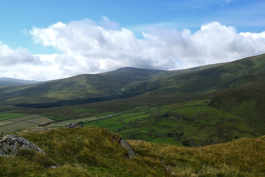
| Green Crag and Harter Fell from the summit of The Pike |
 |
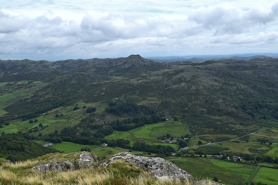
| The Coniston Fells from the summit of The Pike |
 |
| Stickle Pike from the summit of The Pike |
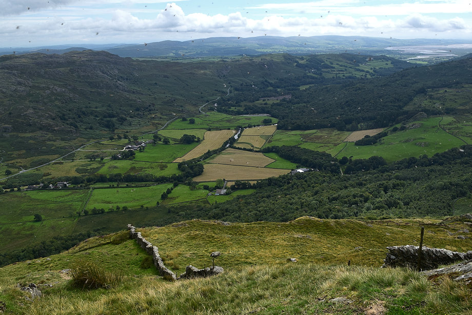 |
| Ulpha and the lower Duddon Valley from the summit of The Pike |