 |
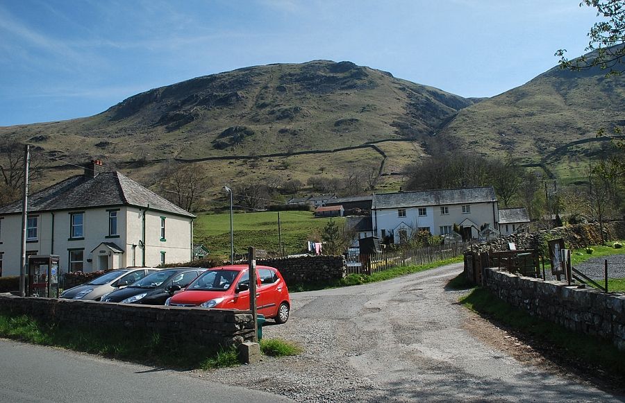
| The walk starts from the small car park beside Stanah village hall, a sign post indicates up the lane which leads Stanah Farm at the foot of Sticks Pass |
 |
| Heading up the lane to Stanah Farm |
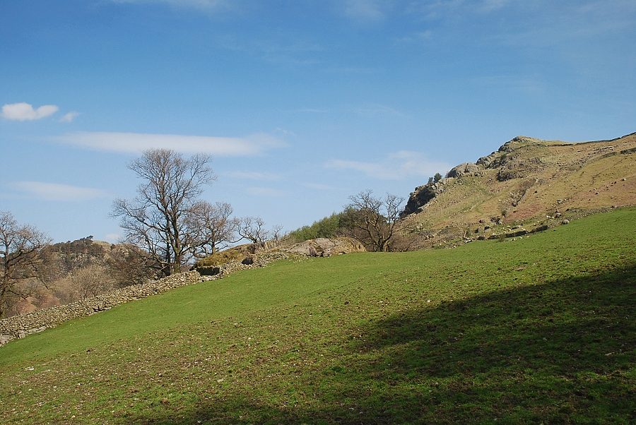 |
| Looking over to the top of Castle Crag from the lane |
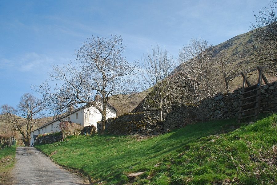 |
| The route to Sticks Pass continues as a bridleway which sweeps around the cottages of Stanah Farm and by gates through the fields above them. It is more usual to cross the tall ladder-stile which gives access to a more direct path across the fields |
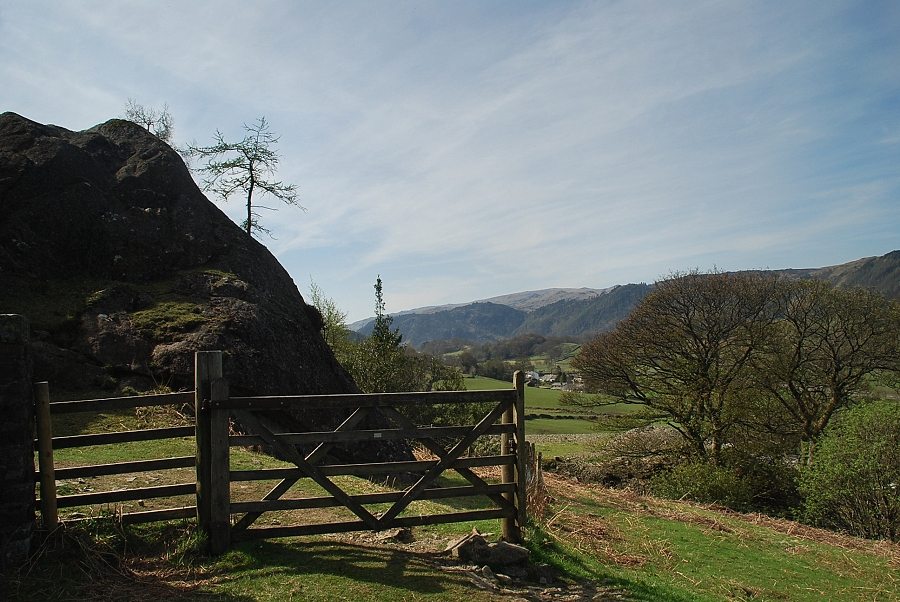 |
| The path rises to a gate beside the open Thirlmere water leat at a point where it disappears beneath a rock outcrop |
 |
| Crossing the Thirlmere water leat |
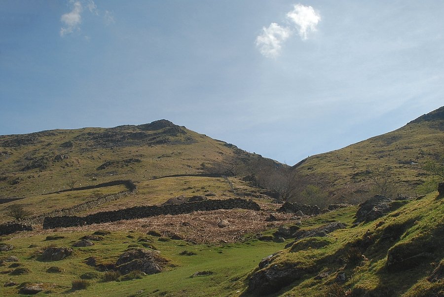 |
| Stanah Gill from the path above the water leat. The path to Sticks Pass climbs the slope to the right of the gill |
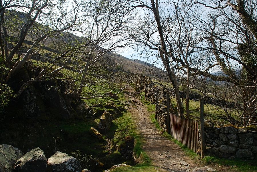 |
| Crossing the bridge over Stanah Gill |
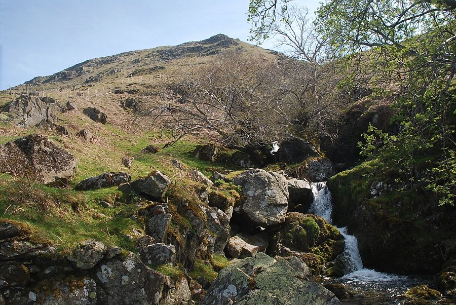 |
| The lower waterfall in Stanah Gill from the bridge |
 |
| Looking over to Skiddaw above High Rigg |
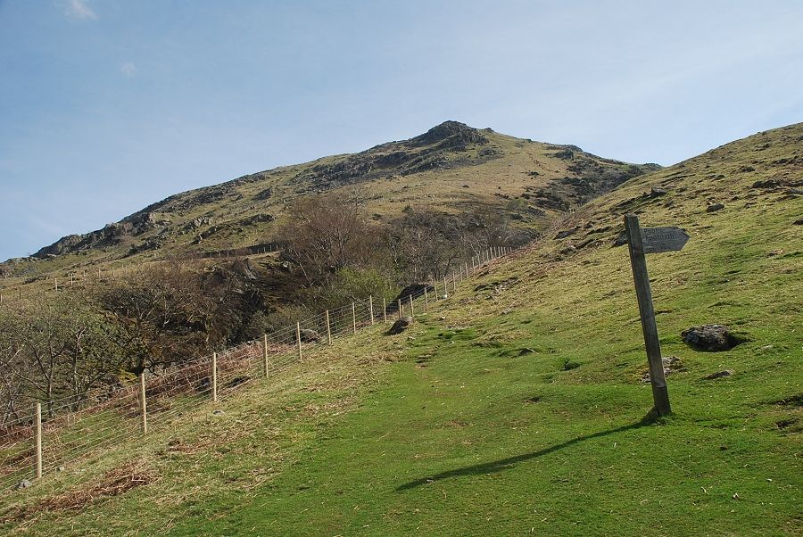 |
| A short distance above the bridge, a sign post indicates the start of a path which contours across the slopes towards The Swirls car park. The route to Sticks Pass continues straight ahead |
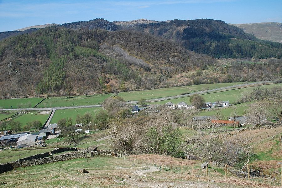 |
| Looking back to Legburthwaite |
 |
| Looking acoss to Thirlmere from the path to Sticks Pass |
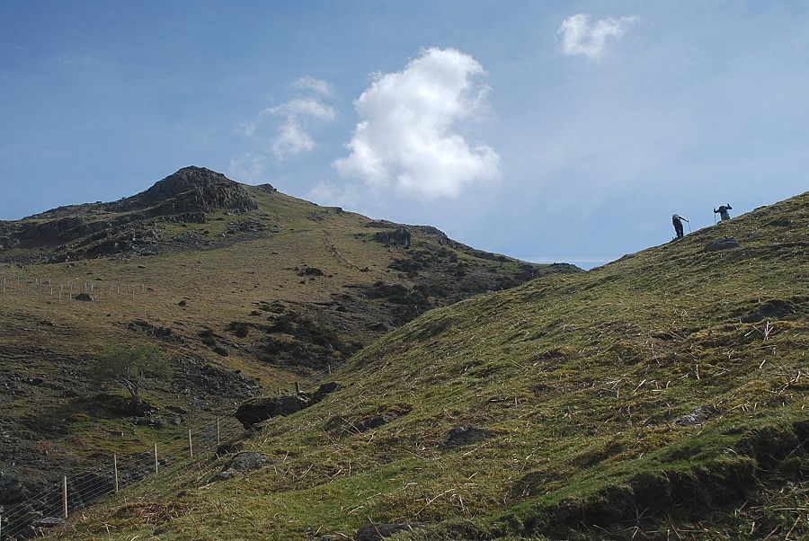 |
| The path to Sticks Pass above Stanah Gill is the steepest part of the whole walk |
 |
| Looking across to Ullscarf |
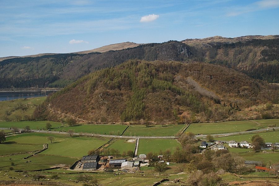 |
| Looking back, High Seat appears over Raven Crag |
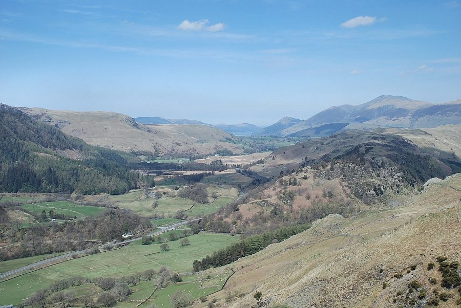 |
| Looking across to Skiddaw |
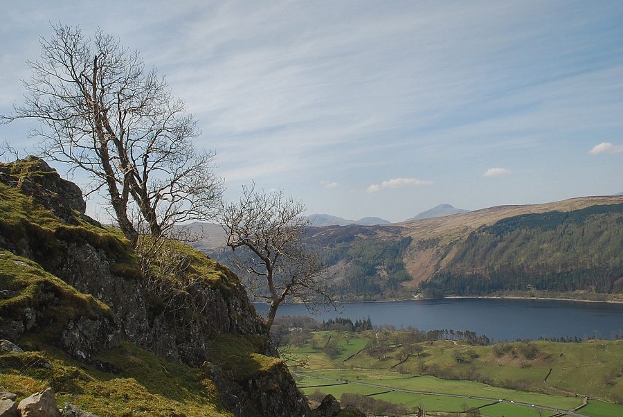 |
| Great Gable appears over the ridge above Thirlmere |
 |
| The summit of Watson's Dodd and the ridge leading up to Stybarrow Dodd come into view |
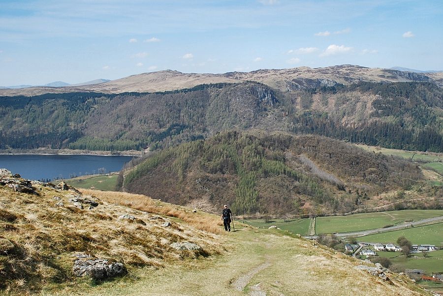 |
| Looking back to High Seat and Bleaberry Fell |
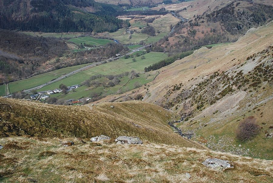 |
| Looking down on the lower part of Stanah Gill |
 |
| The steep part of the path eases on reaching a sheepfold and the summit of Stybarrow Dodd comes into view |
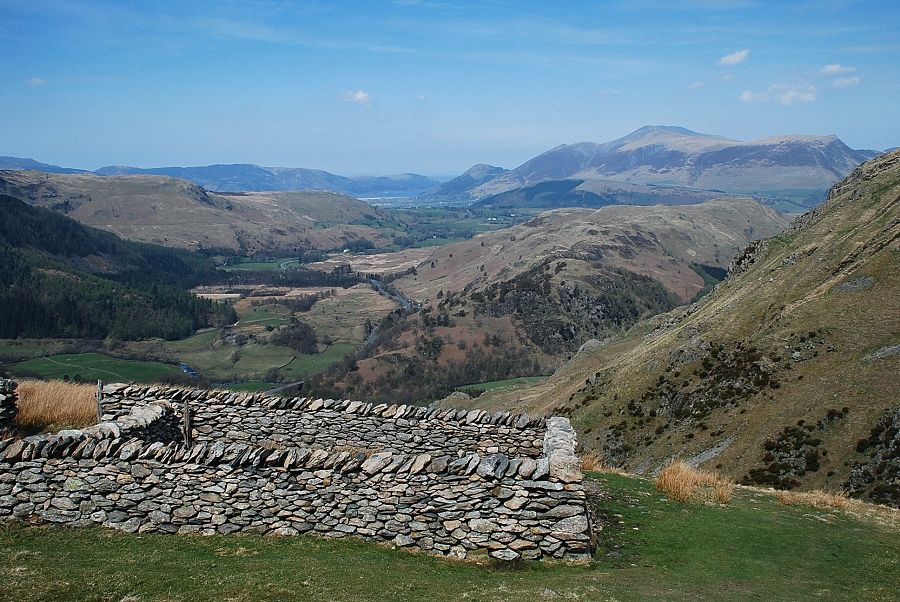 |
| Looking back from the sheepfold above Stanah Gill |
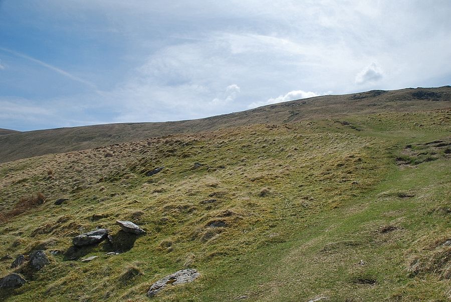 |
| Above the sheepfold the path begins to climb the broad and featureless ridge which separates Stanah Gill and Sticks Gill |
 |
| Looking back along the path rising from the sheepfold |
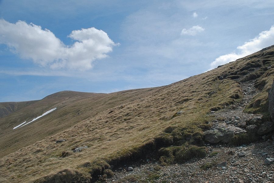 |
| Stybarrow Dodd from the path to Sticks Pass |
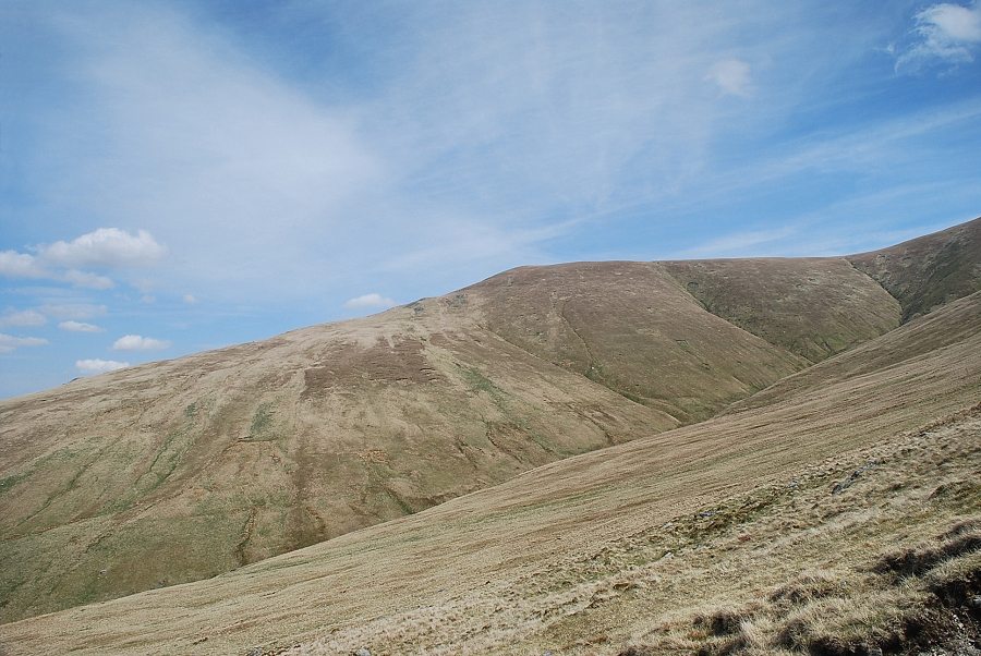 |
| Looking over to Watson's Dodd |
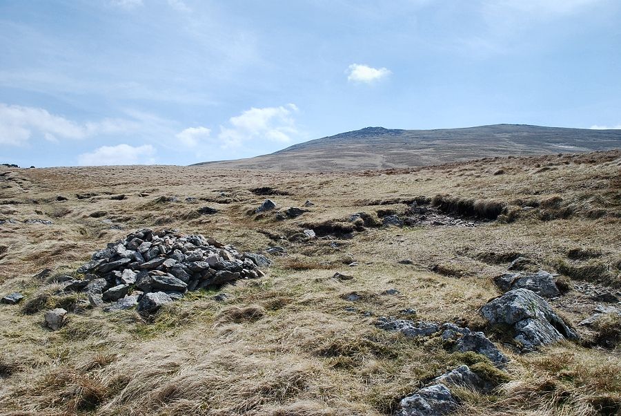 |
| The summit of Raise comes into view. Although there are a few cairns along the path, originally its course was marked by a line of tall wooden stakes. The stakes, or sticks, give the pass its name and would have served as guides to the traveller at times when the path was obscured by deep snow |
 |
| The west ridge of Stybarrow Dodd from the path to Sticks Pass |
 |
| Looking over to White Side and Browncove Crags |
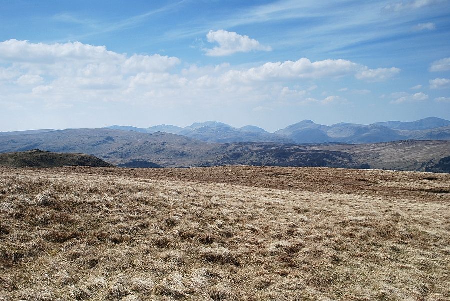 |
| Looking over to Bowfell, Esk Pike, Scafell Pike, Lingmell, Great Gable and Pillar on the horizon |
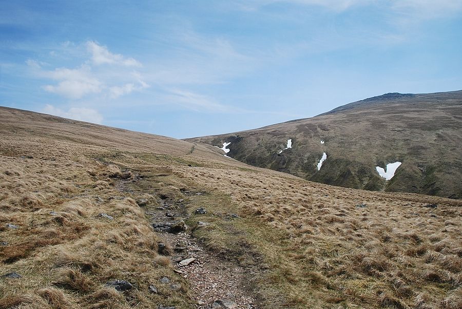 |
| Approaching Sticks Pass |
 |
| Looking back along the path, the North Western Fells on the horizon |
 |
| The summit of Sticks Pass |
 |
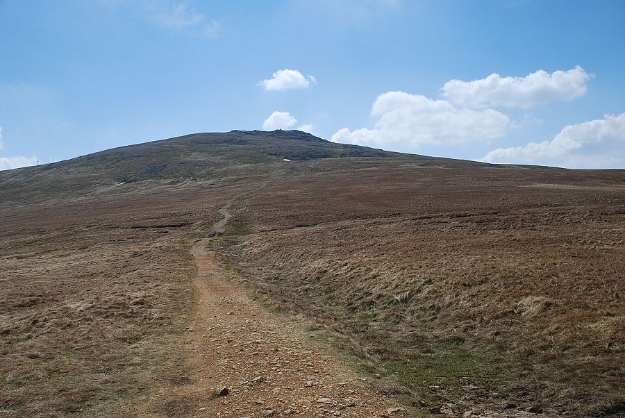
| The south top of Stybarrow Dodd from Sticks Pass |
 |
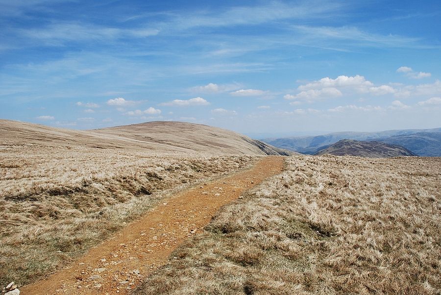
| Raise from the summit of Sticks Pass |
 |
| Green Side and the summit of Sheffield Pike from Sticks Pass |
 |
| Beginning the climb from Sticks Pass to the south top of Stybarrow Dodd |
 |
| Looking back to Raise and Sticks Pass from the start of the climb |
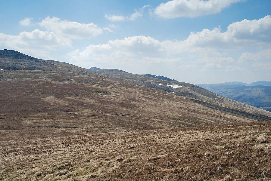 |
| Looking back towards Raise, Helvellyn Lower Man and White Side |
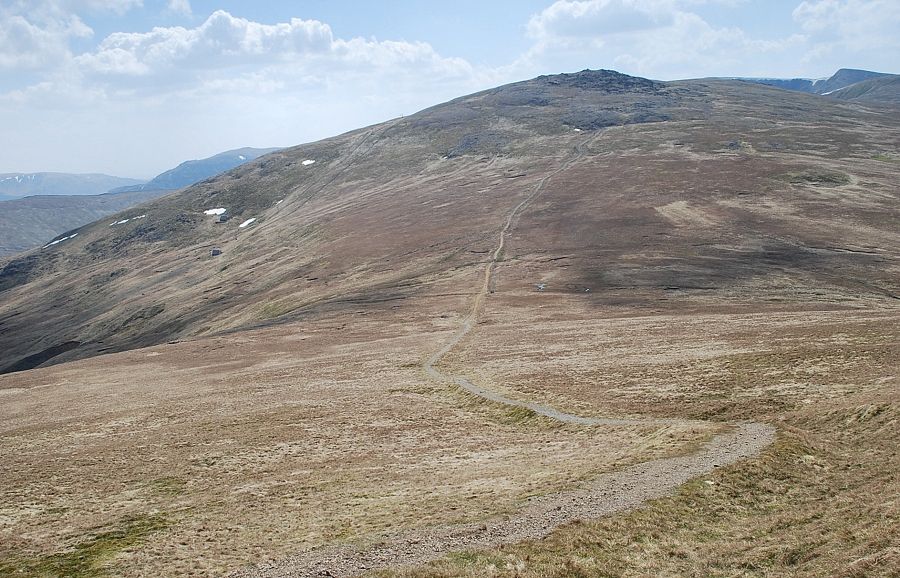 |
| Sticks Pass from just below the south top of Stybarrow Dodd |
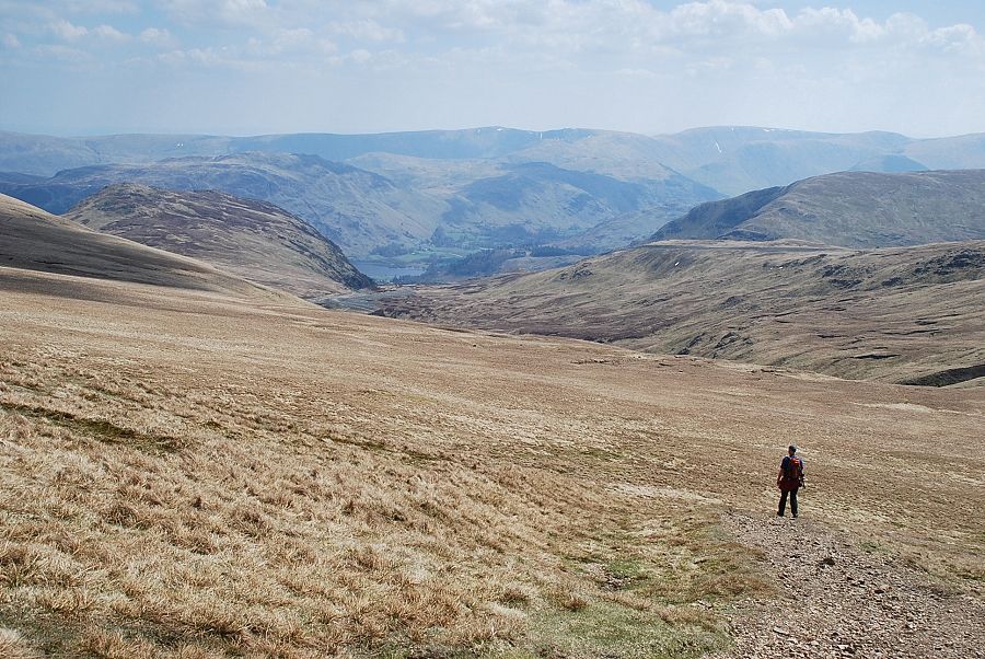 |
| Looking over to the Far Eastern Fells |
 |
| Blencathra and Great Dodd from the south top of Stybarrow Dodd |
 |
| Skiddaw and Watson's Dodd from the south top of Stybarrow Dodd |
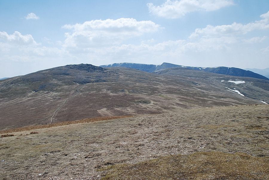 |
| Raise and Helvellyn from the south top of Stybarrow Dodd |
 |
| The Far Eastern Fells from the south top of Stybarrow Dodd |
 |
| The summit of Stybarrow Dodd from the south top, the main path along the ridge avoids the summit by traversing the slope above Stanahgill Head |
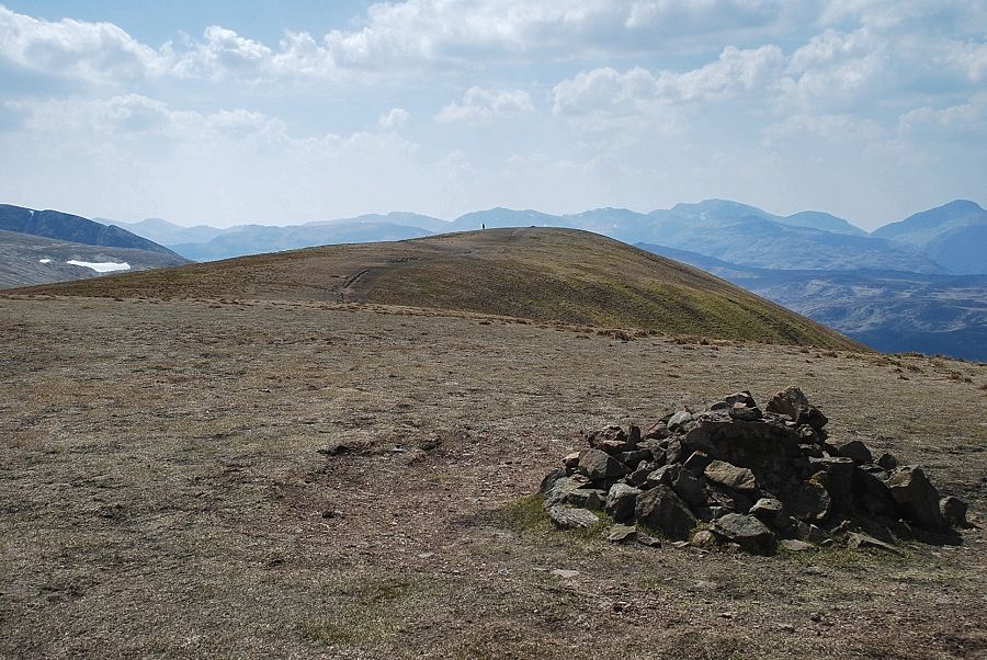 |
| Looking back to the south top from the summit of Stybarrow Dodd |
 |
| The North Western Fells from the summit of Stybarrow Dodd |
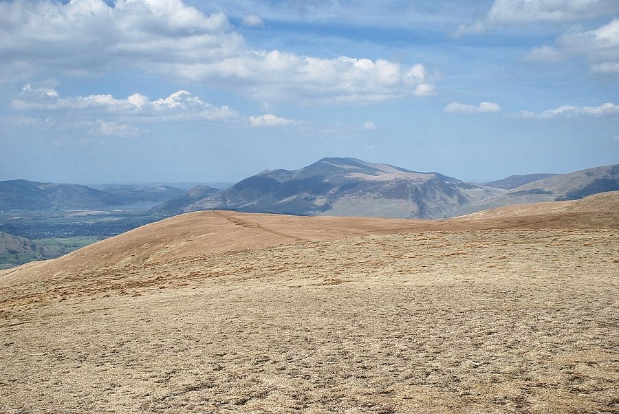 |
| Skiddaw from the summit of Stybarrow Dodd |
 |
| Blencathra and Great Dodd from the summit of Stybarrow Dodd |
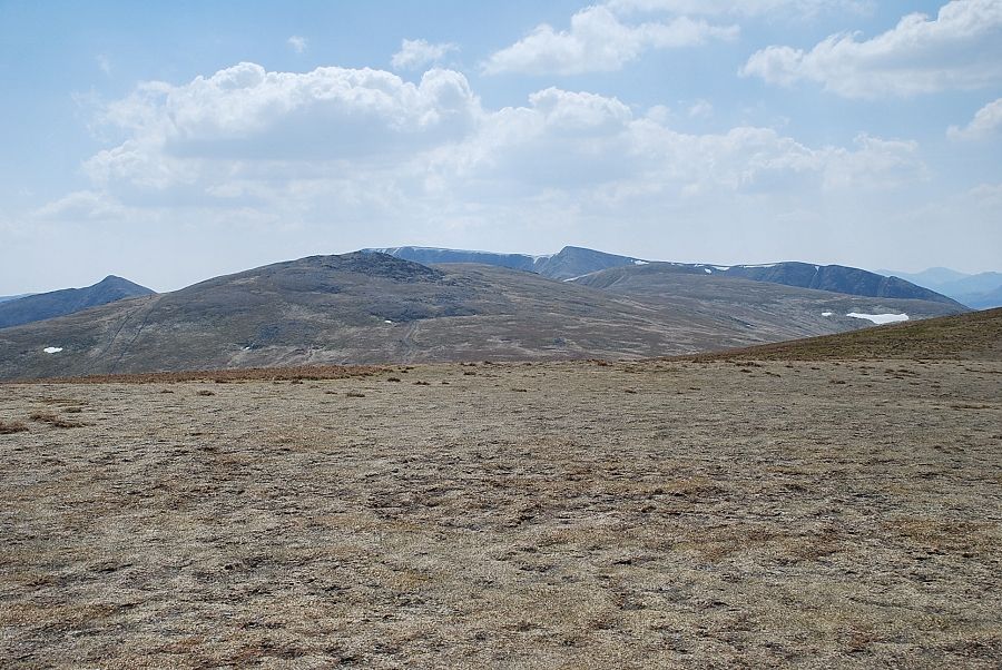 |
| Catstycam, Raise, and Helvellyn from the summit of Stybarrow Dodd |
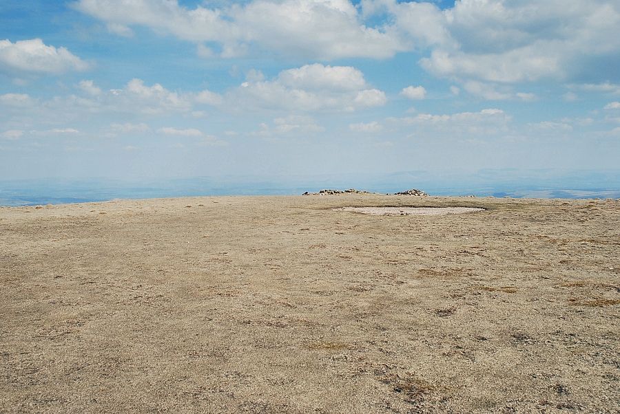 |
| To the north-east there is a wind-shelter built from the remnants of an old wall |
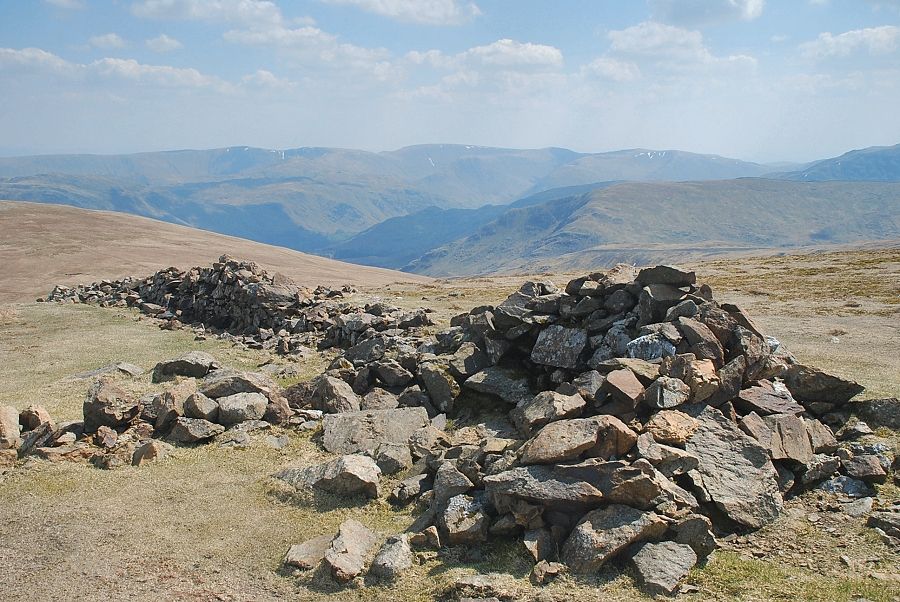 |
| High Street from the wind-shelter on Stybarrow Dodd |


