 |
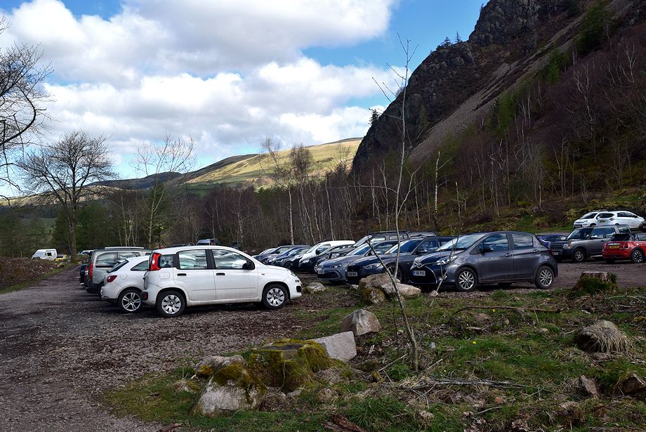
| The Forestry Commission car park at Bowness Knott is the starting point for this walk |
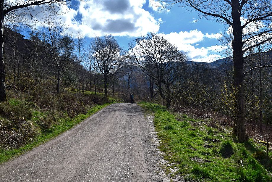 |
| The road onward from the car park is not open to public traffic - pedestrians excepted |
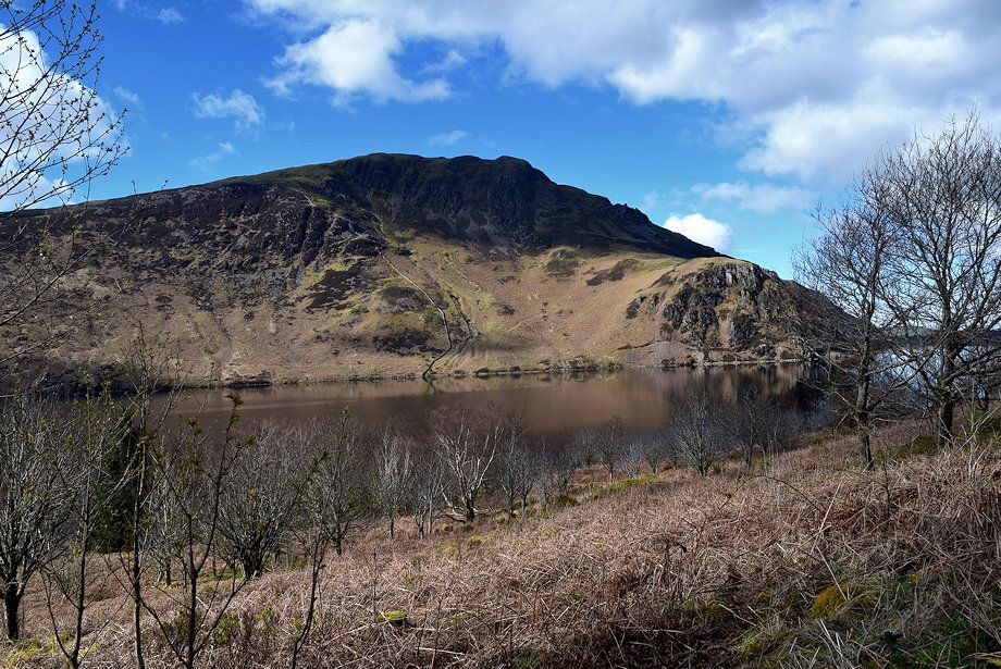 |
| Looking over to Crag Fell and Anglers' Crag |
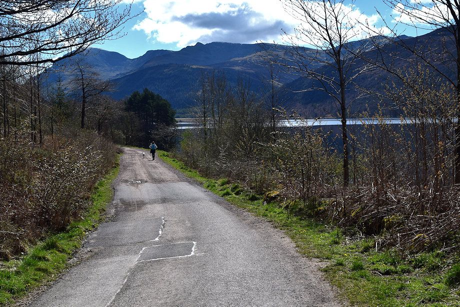 |
| Steeple comes into view as the road descends to run alongside Ennerdale Water |
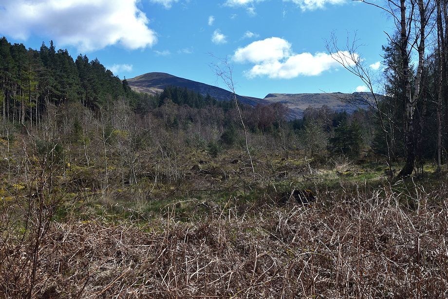 |
| Large areas of the old conifer plantations are being cleared as part of the Ennerdale Rewilding Project which have opened up the views to the fells on the western side of the lake |
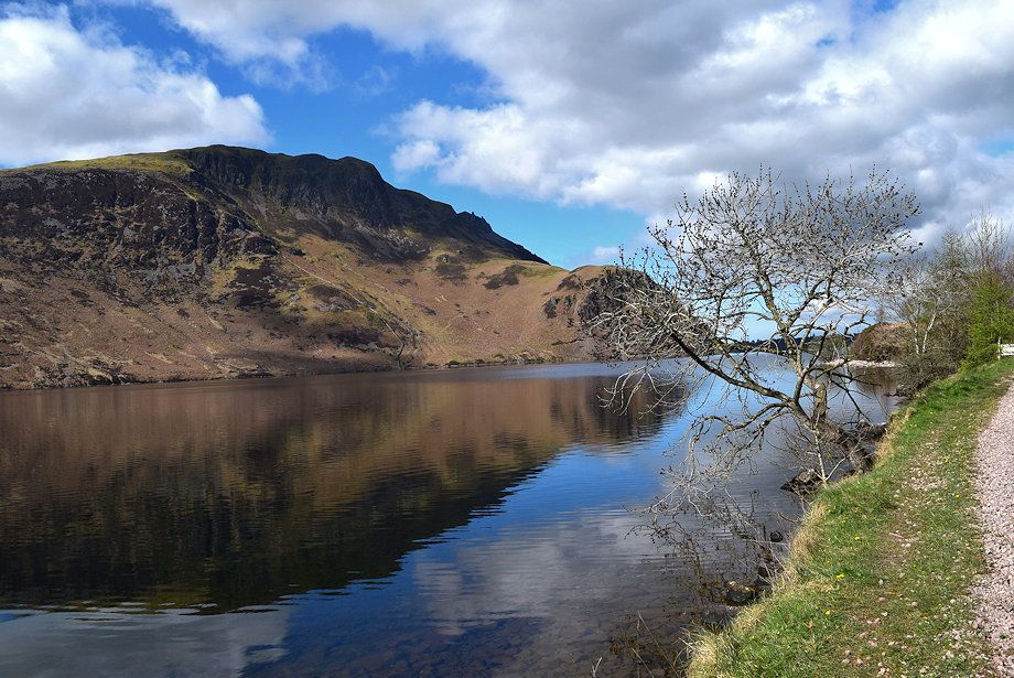 |
| Crag Fell across Ennerdale Water |
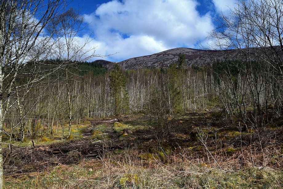 |
| Looking up to Great Borne |
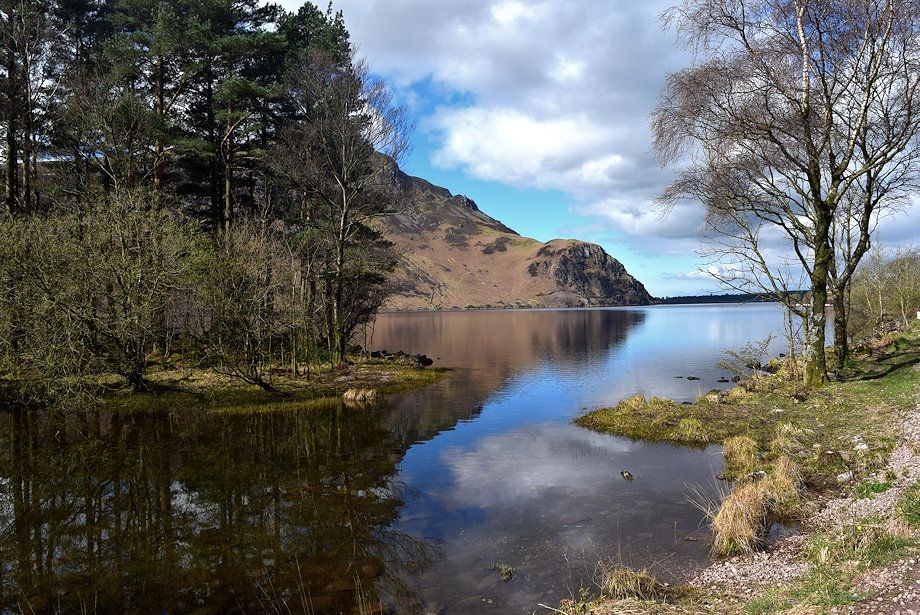 |
| Anglers' Crag |
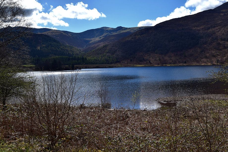 |
| Haycock and Little Gowder Crag across Ennerdale Water |
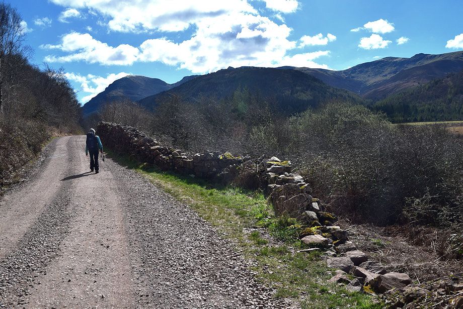 |
| Pillar and Steeple from Char Dub at the head of Ennerdale Water on the approach to Irish Bridge |
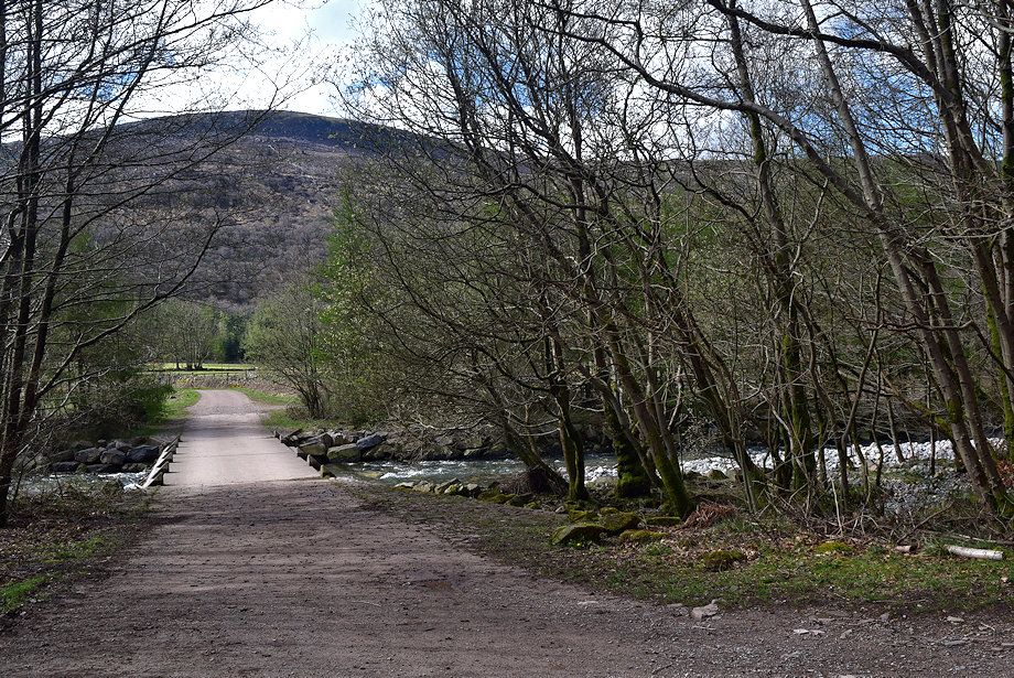 |
| Irish Bridge over the River Liza |
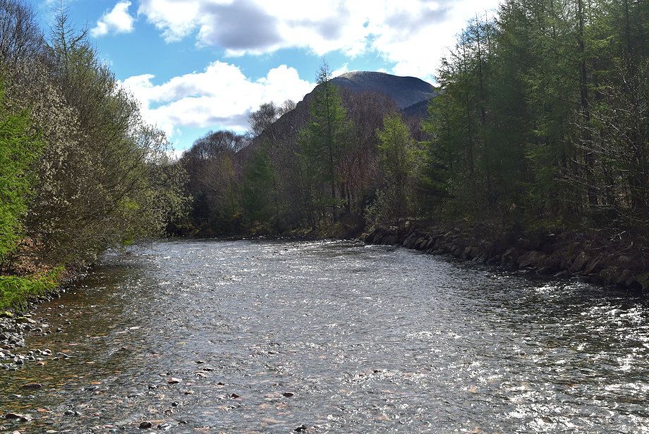 |
| Pillar From Irish Bridge |
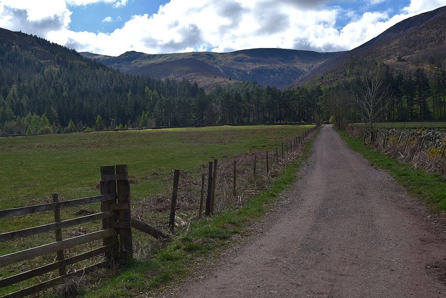 |
| A fenced lane leads on across fields to a locked gate on the other side of the valley |
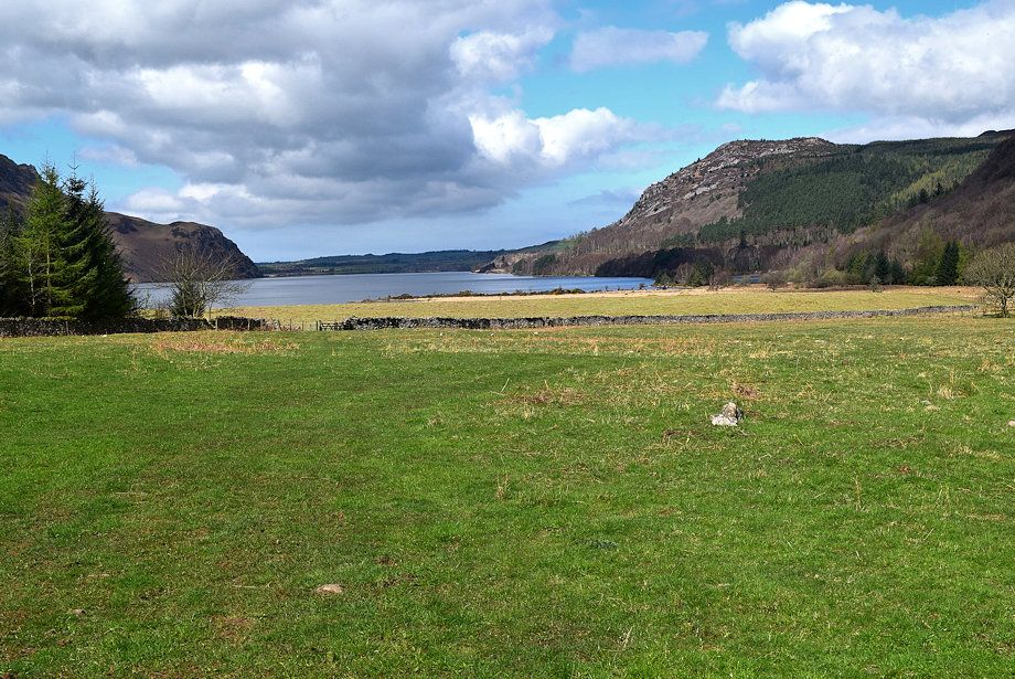 |
| The fields were once the site of a large medieval settlement and are a Scheduled Ancient Monment |
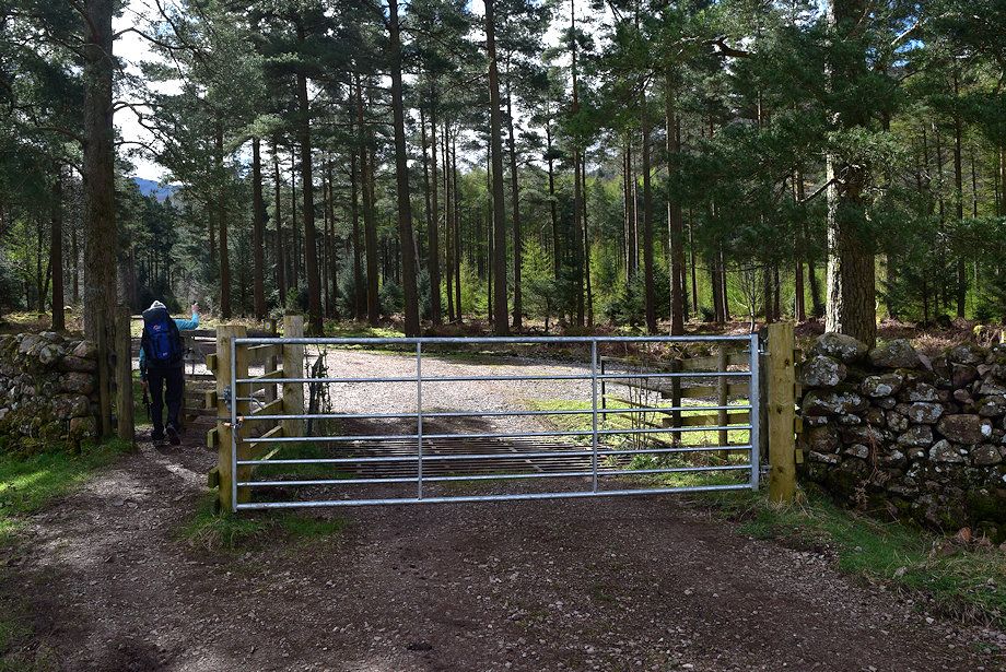 |
| A pedestrian gate beside the locked gate gives access to the forest road on the south side of the valley. Turn left from the gate and continue along the road for 250 yards to cross a bridge over Woundell Beck |
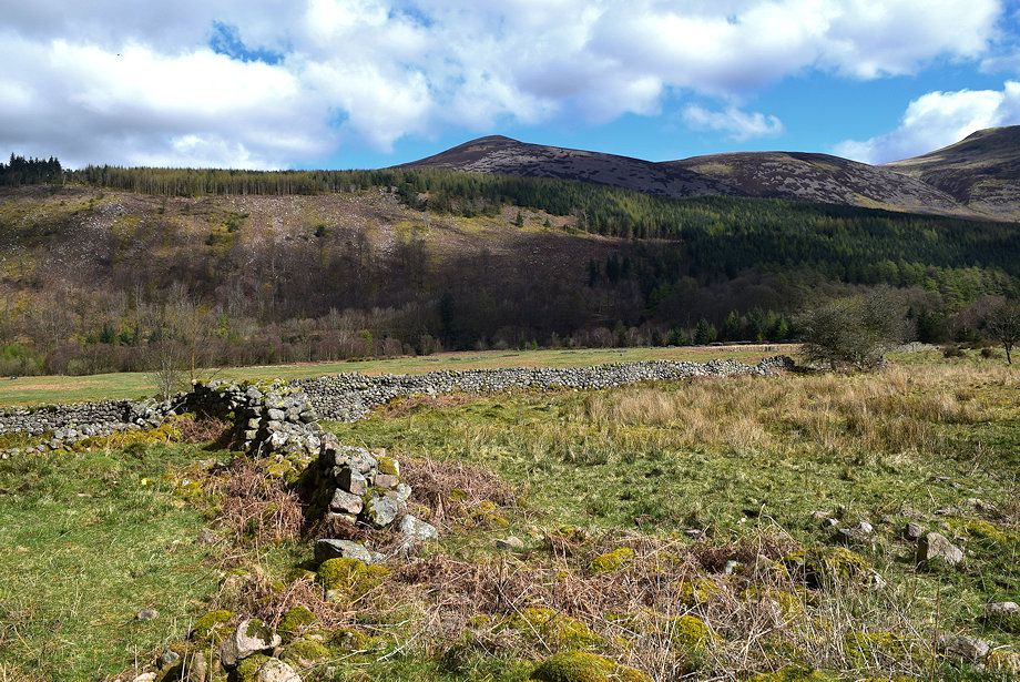 |
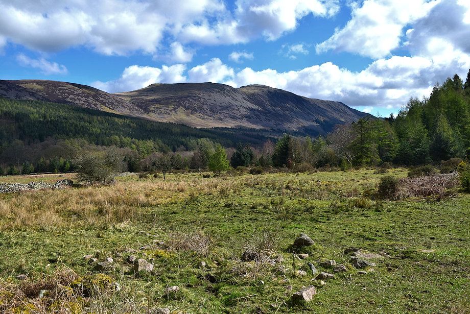
| Looking over towards Starling Dodd and Little Dodd from the forestry road |
 |
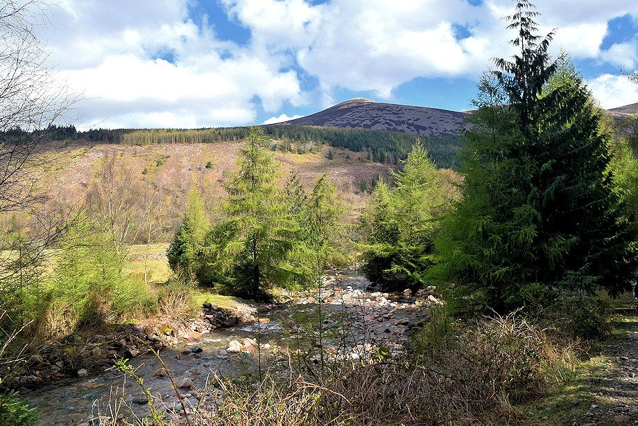
| Red Pike, High Stile and High Crag from the forestry road |
 |
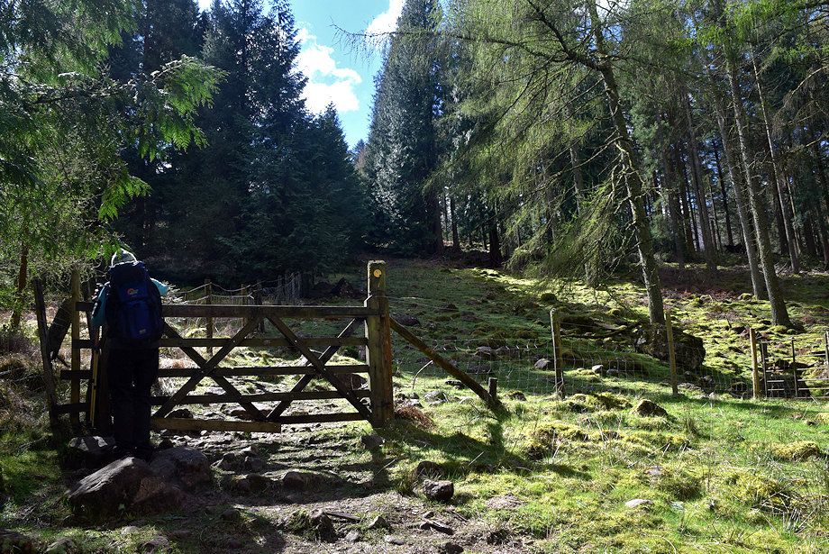
| Woundell Beck from the bridge |
 |
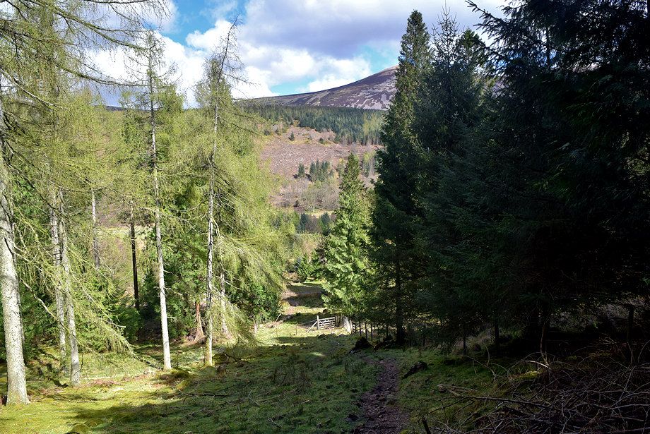
| A gate on the right gives access to an old drove way which is about 180 yards from the Woundell Beck Bridge |
 |
| Looking down the lower part of the drove way |
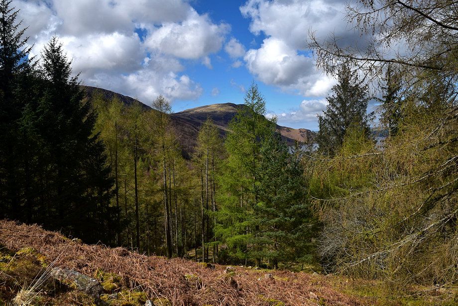 |
| The drove way was left unplanted to enable sheep to be brought down from the high fells when the Ennerdale forest was created a hundred years ago. A similar one exists on the other side of the valley beside Gillflinter Beck |
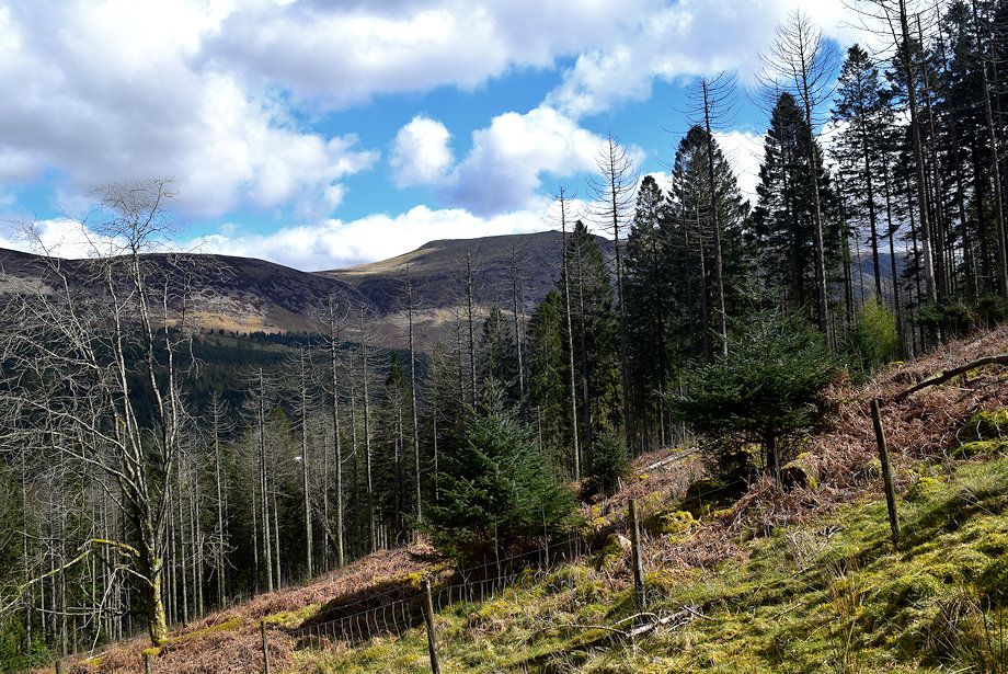 |
| Little Dodd and Red Pike from the drove way |
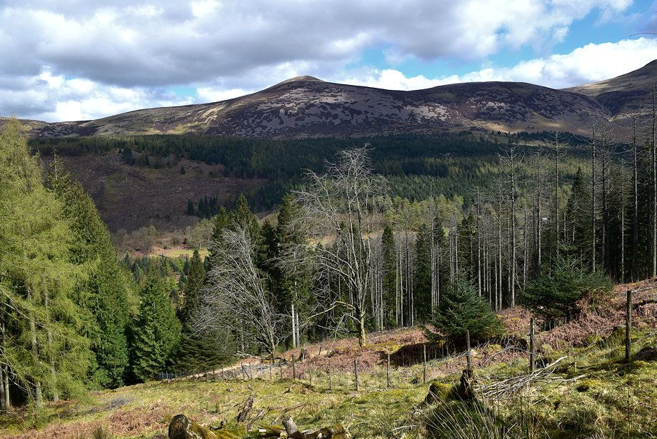 |
| Starling Dodd and Little Dodd |
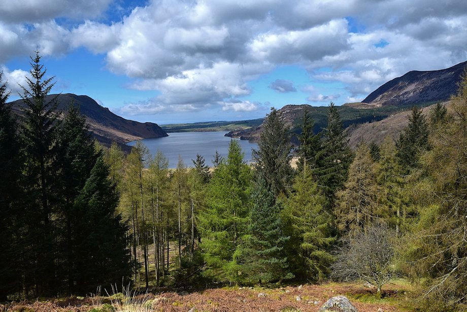 |
| Ennerdale Water from the drove way |
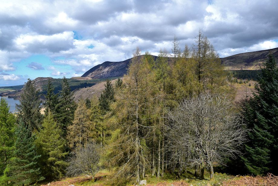 |
| Herdus and Great Borne above the trees of the Ling Mell Plantations |
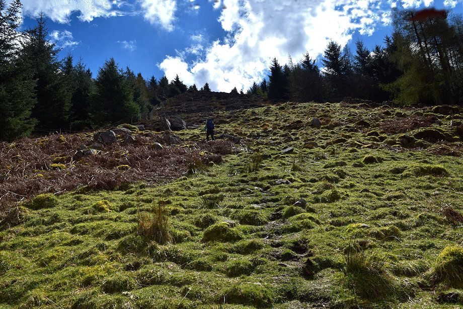 |
| Higher up, the drove way becomes much wider and begins to turn towards the east as it approaches an old intake wall |
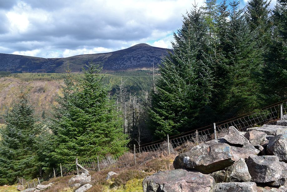 |
| Starling Dodd from the old intake wall |
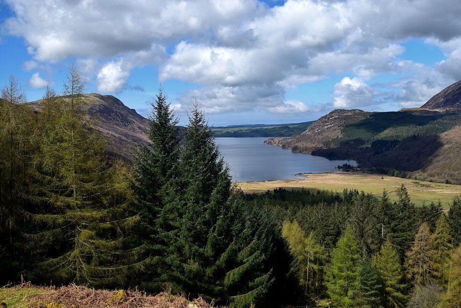 |
| Ennerdale Water from the old intake wall |
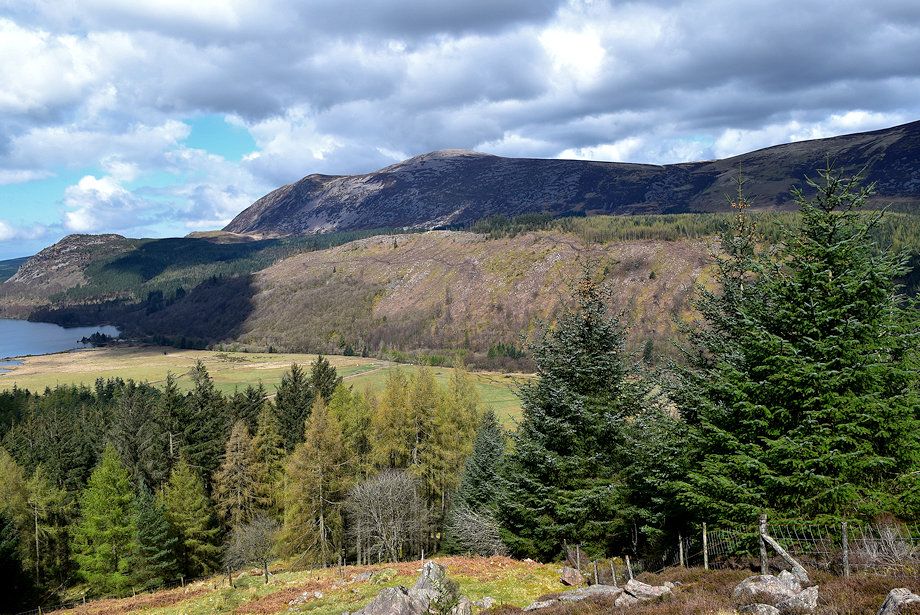 |
| Herdus and Great Borne over Latterbarrow which has been stripped of much of its tree cover |
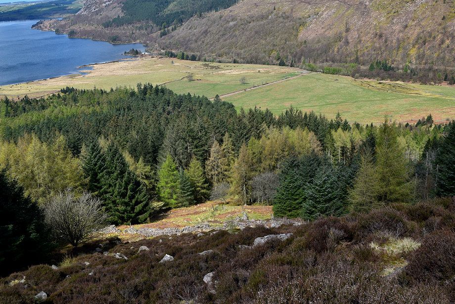 |
| Looking down the drove way and the old intake wall. The climb becomes much rougher above the wall amidst boulders and lank heather. The path veers left, close to the post and wire fence, as it rises to the top of the Ling Mell Plantations |
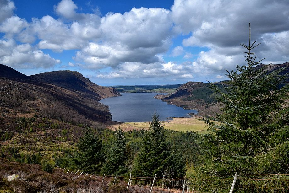 |
| Ennerdale Water from the top of the Ling Mell Plantations |
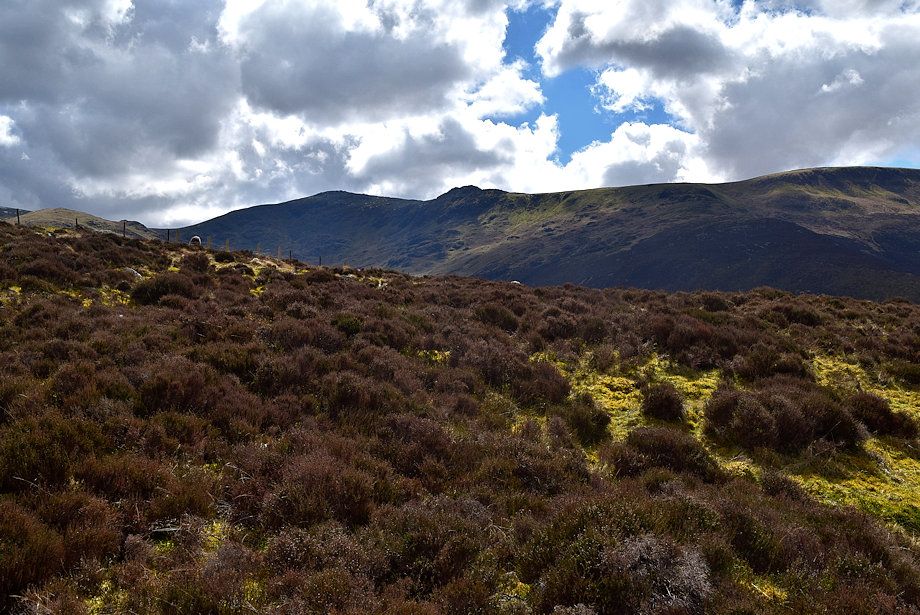 |
| Haycock and Little Gowder Crag come into view on reaching the top of the plantations |
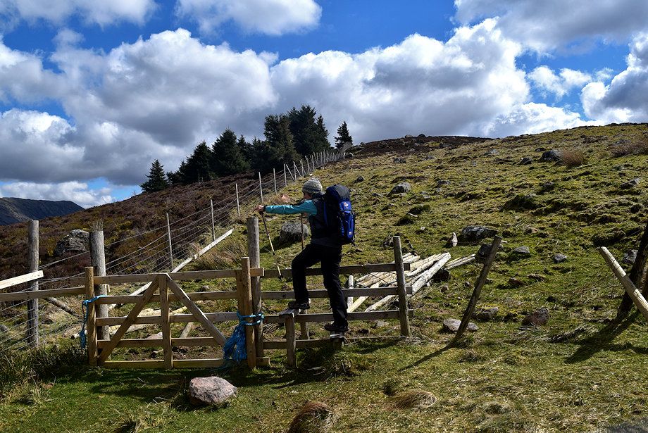 |
| We cross a stile over the fence which encloses the woodland around Deep Gill and Woundell Beck |
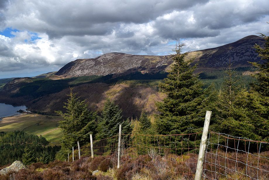 |
| Herdus, Great Borne and Starling Dodd from the stile |
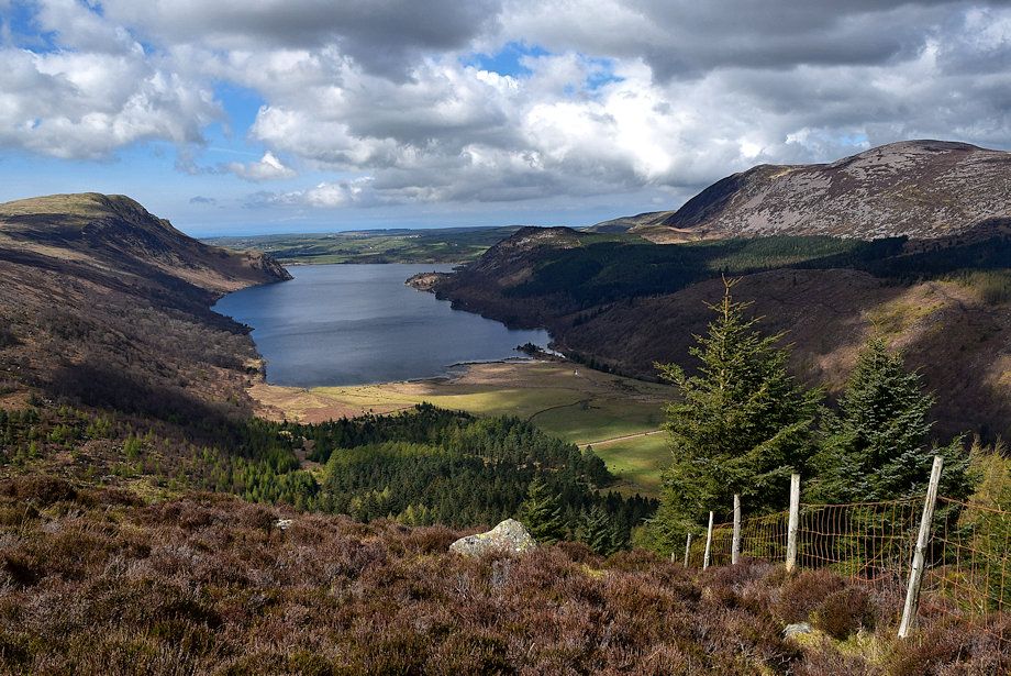 |
| Ennerdale Water from the stile |
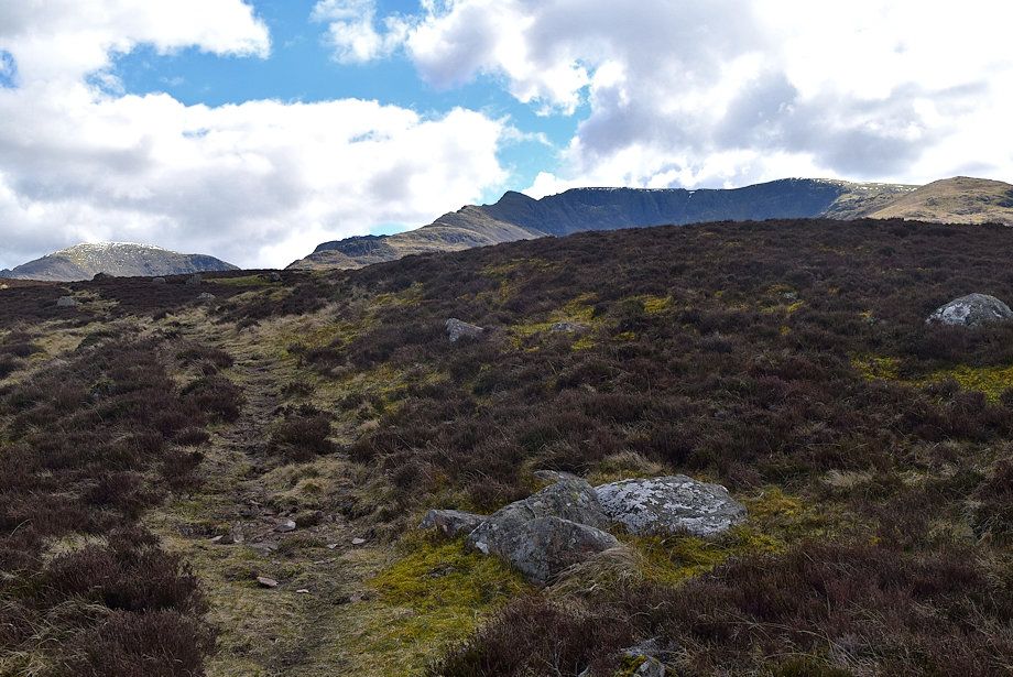 |
| Pillar and Steeple come into view as the path rises over the western slopes of Lingmell |
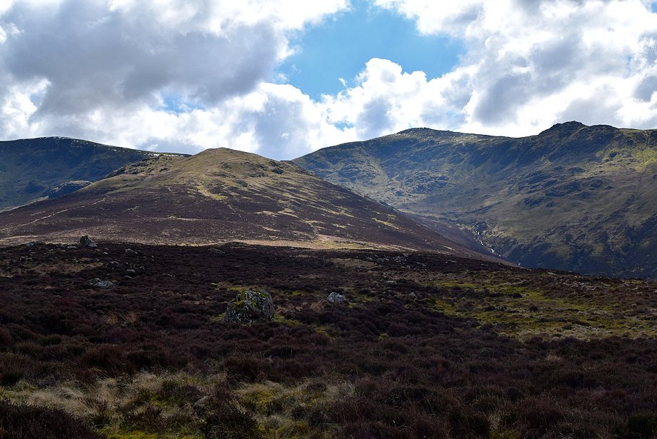 |
| Looking over towards Great Scoat Fell and Tewit How with Haycock and Little Gowder Crag above Great Cove on the right |
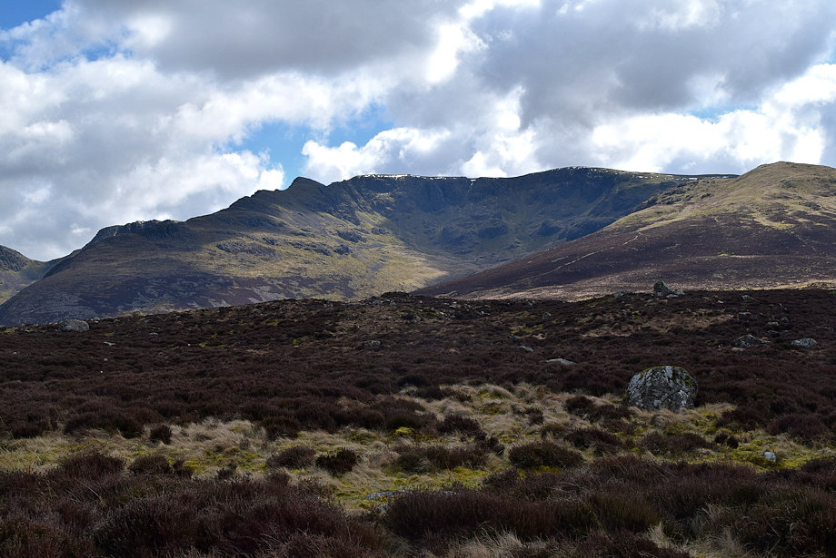 |
| Pillar and Scoat Fell above Mirklin Cove |
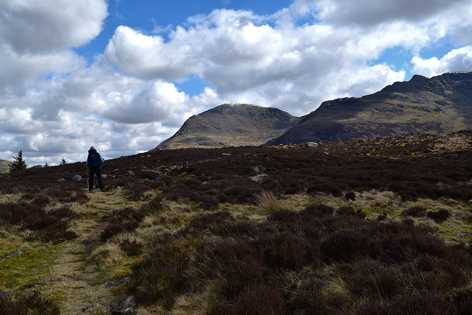 |
| Approaching the top on Lingmell |
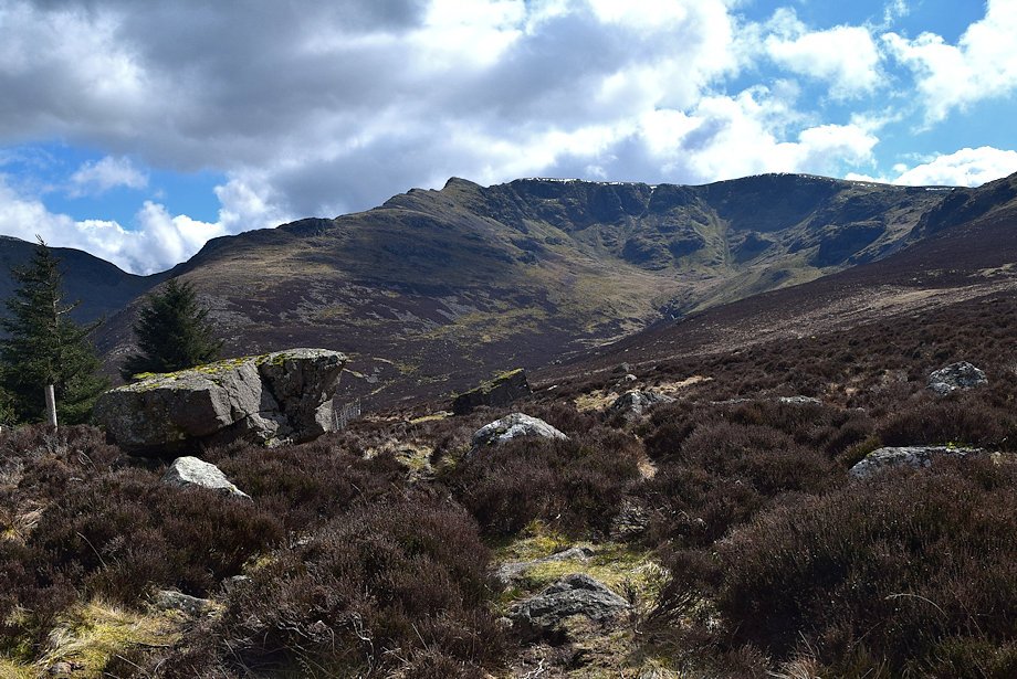 |
| A huge boulder marks the start of the long descent to Low Beck |
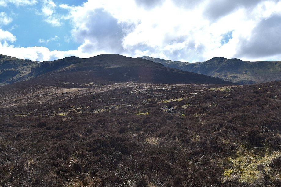 |
| Looking over towards Tewit How |
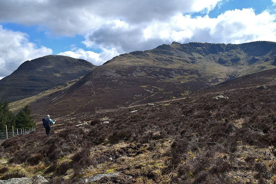 |
| Descending towards Low Beck |
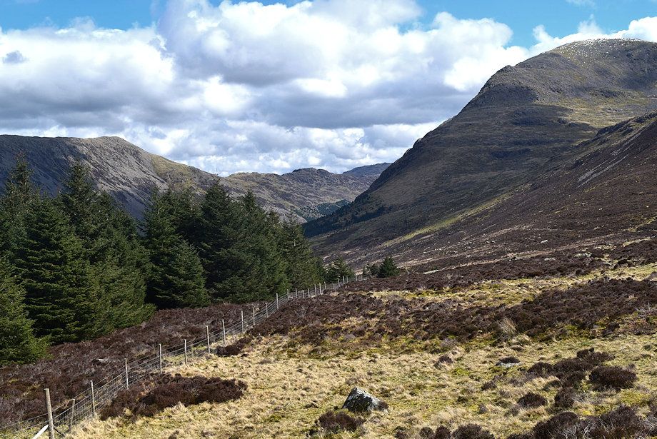 |
| Haystacks near the head of the Ennerdale Valley |
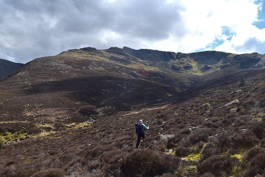 |
| Approaching the crossing point over Low Beck |
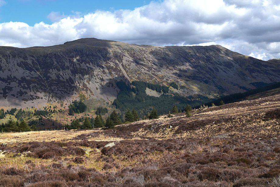 |
| High Stile and High Crag from near Low Beck |
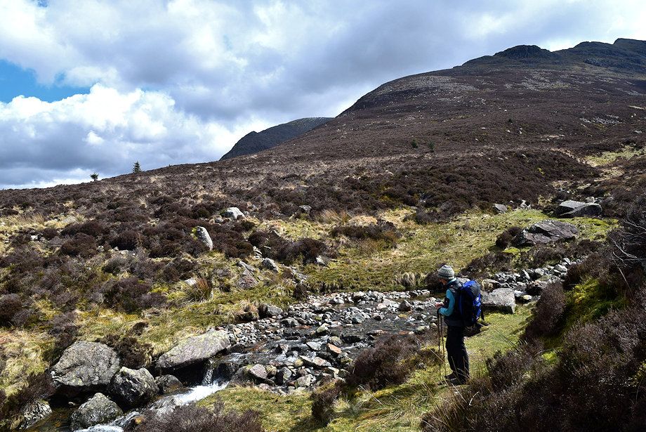 |
| The crossing point over Low Beck |
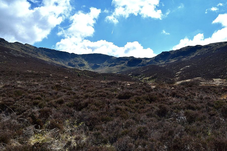 |
| Mirklin Cove from Low Beck |
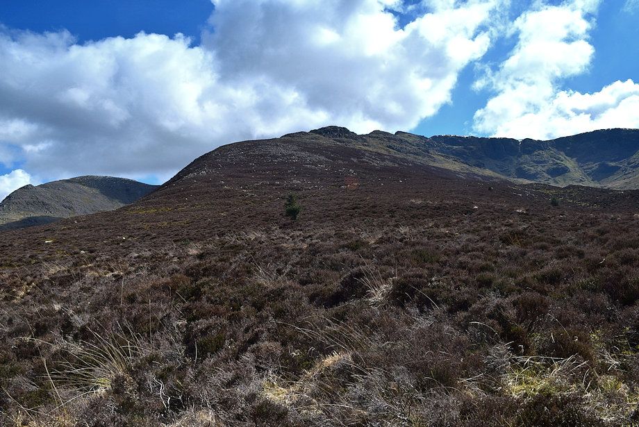 |
| The north ridge of Steeple from Low Beck |
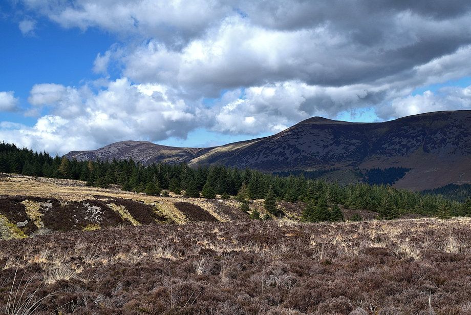 |
| Great Borne and Starling Dodd from Low Beck |
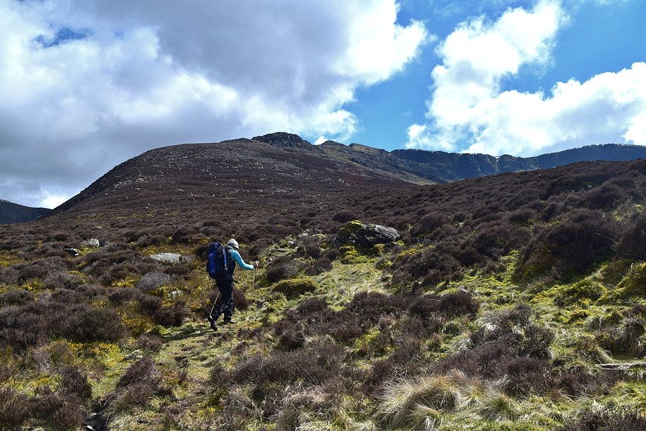 |
| Starting the climb to the north ridge |
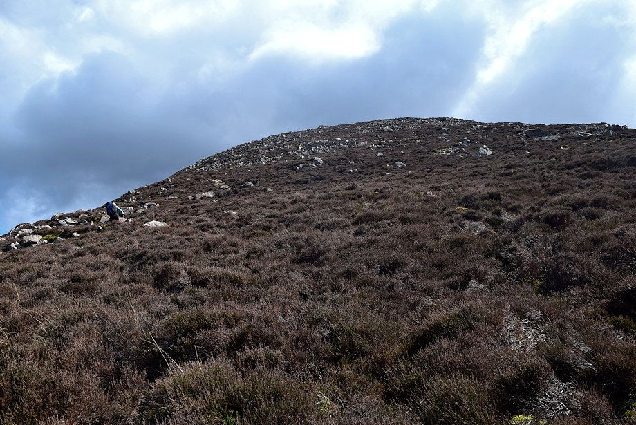 |
| The broad lower part of the ridge is steep, a fair path leads up through the heather to a line of cairns on the upper slope which is strewn with boulders |
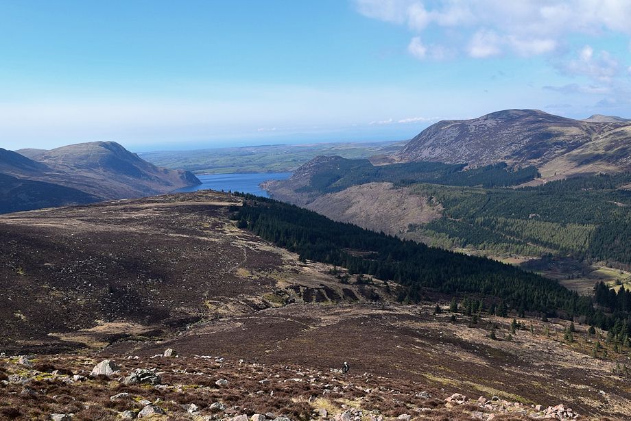 |
| Looking down to Low Beck |
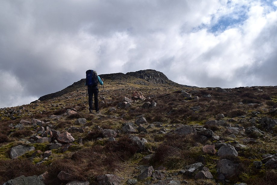 |
| The angle of the slope eases a little as the middle section of the ridge comes into view defended by a band of crags |
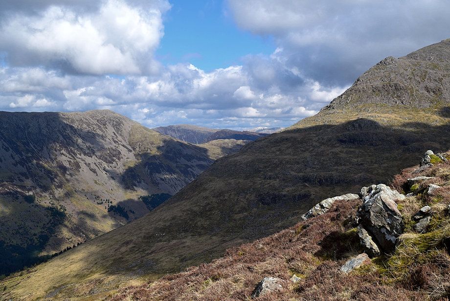 |
| Dale Head and Fleetwith Pike framed between the slopes of High Crag and Pillar |
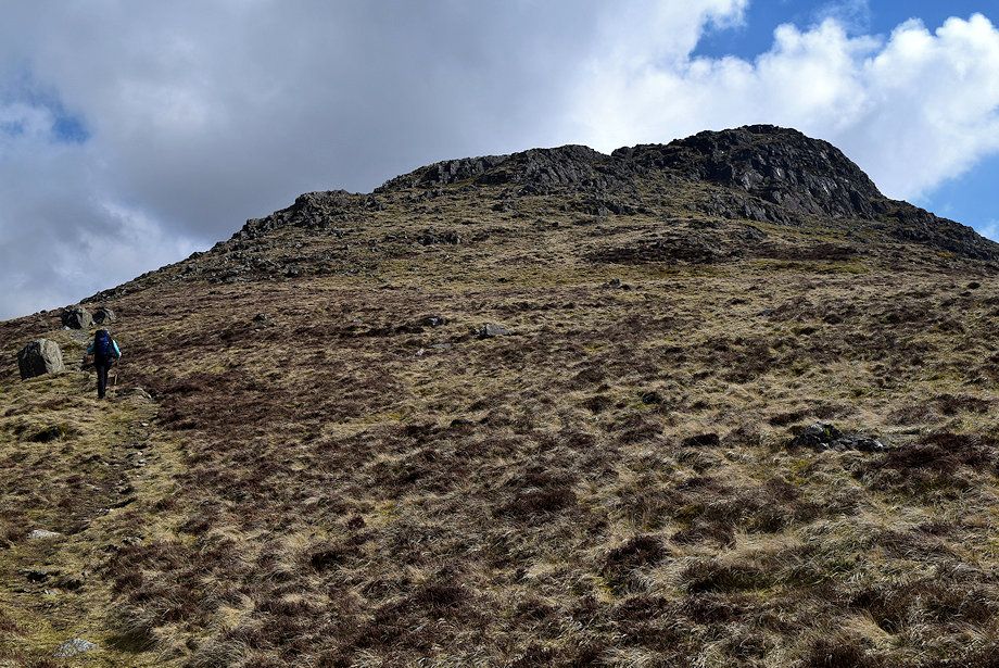 |
| The path approaches the band of crags and climbs them via an easy gully |
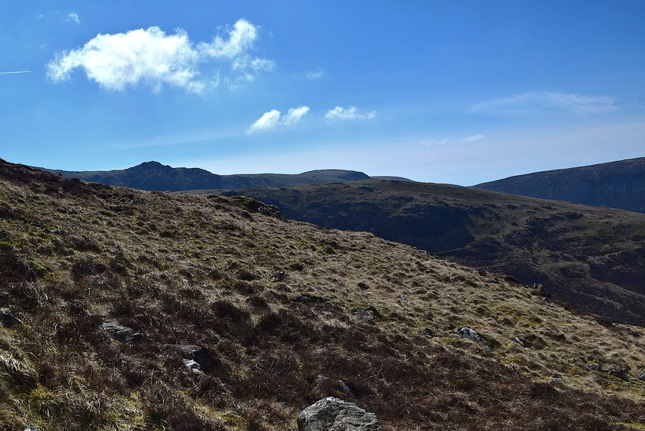 |
| Little Gowder Crag and Caw Fell over the Tewit How ridge |
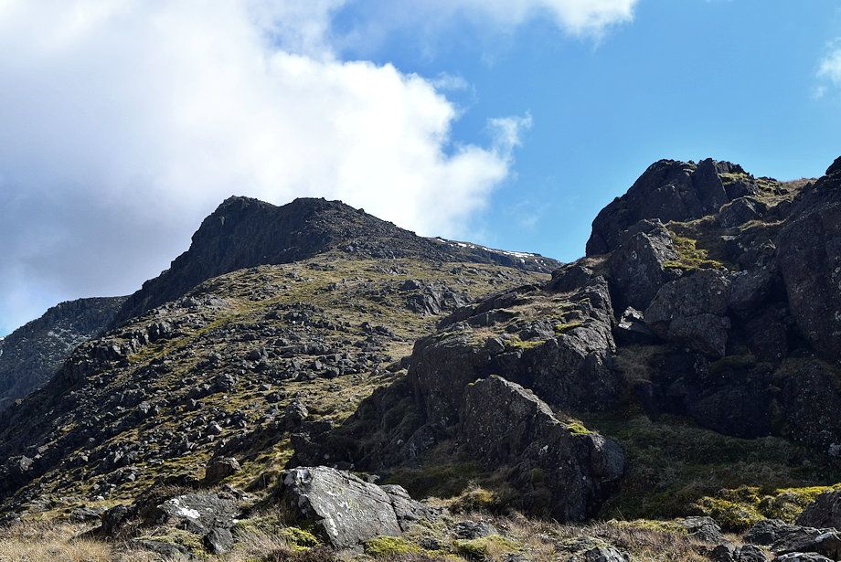 |
| The summit of Steeple comes into view along the escarpment of Long Crag |
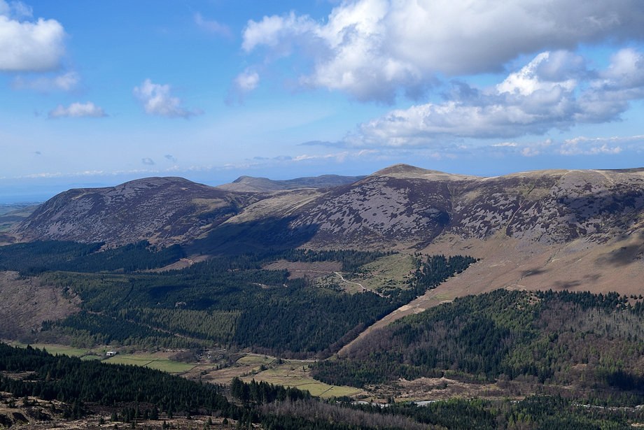 |
| Blake Fell appears over the col between Great Borne and Starling Dodd |
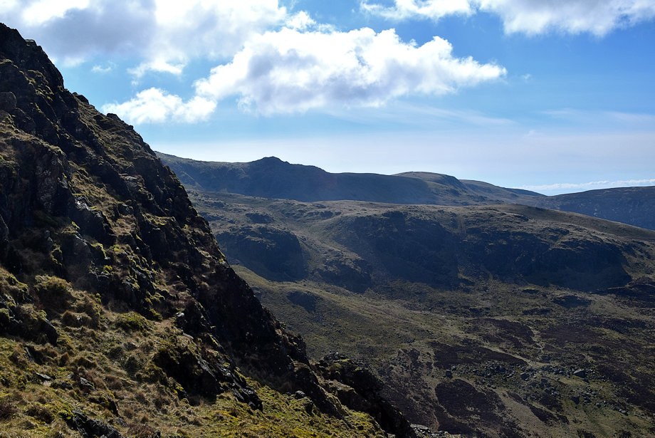 |
| Little Gowder Crag and Caw Fell across Mirklin Cove |
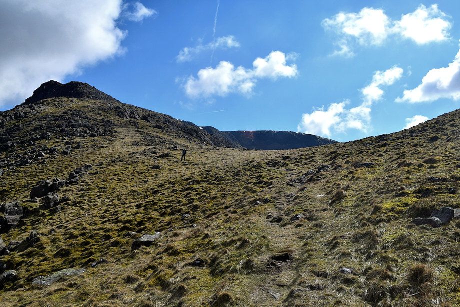 |
| The path crosses a wide grassy depression beyond the crags and bears left towards the escarpment |
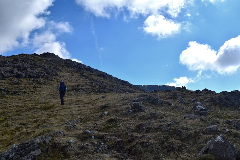 |
| An easy grass rake leads up from the col through a wide belt of rock outcrops |
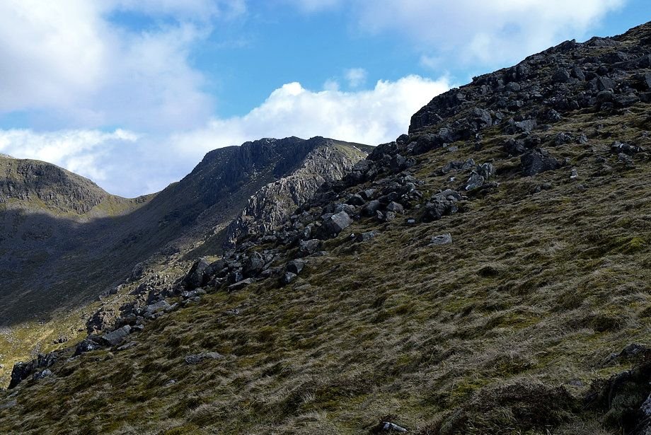 |
| Looking over towards Wind Gap and Black Crag |
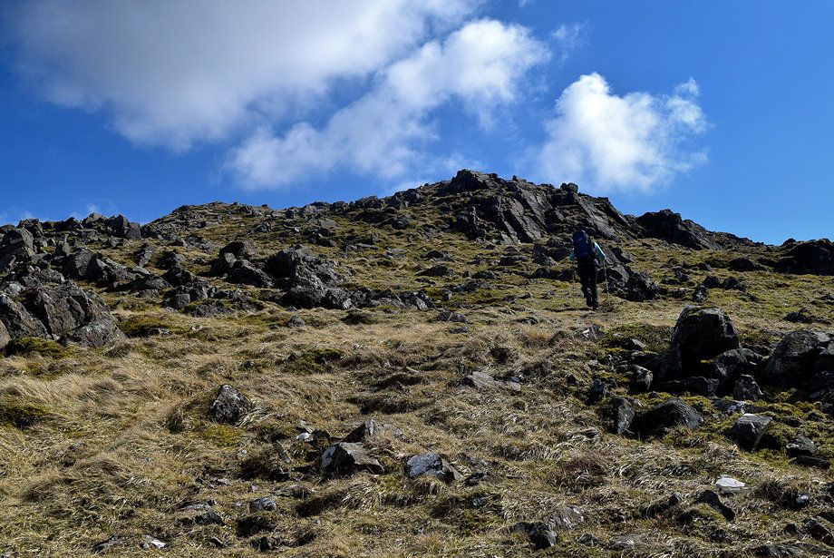 |
| Higher up the path turns to to avoid some low crags and comes alongside the edge of the escarpment high above Mirk Cove |
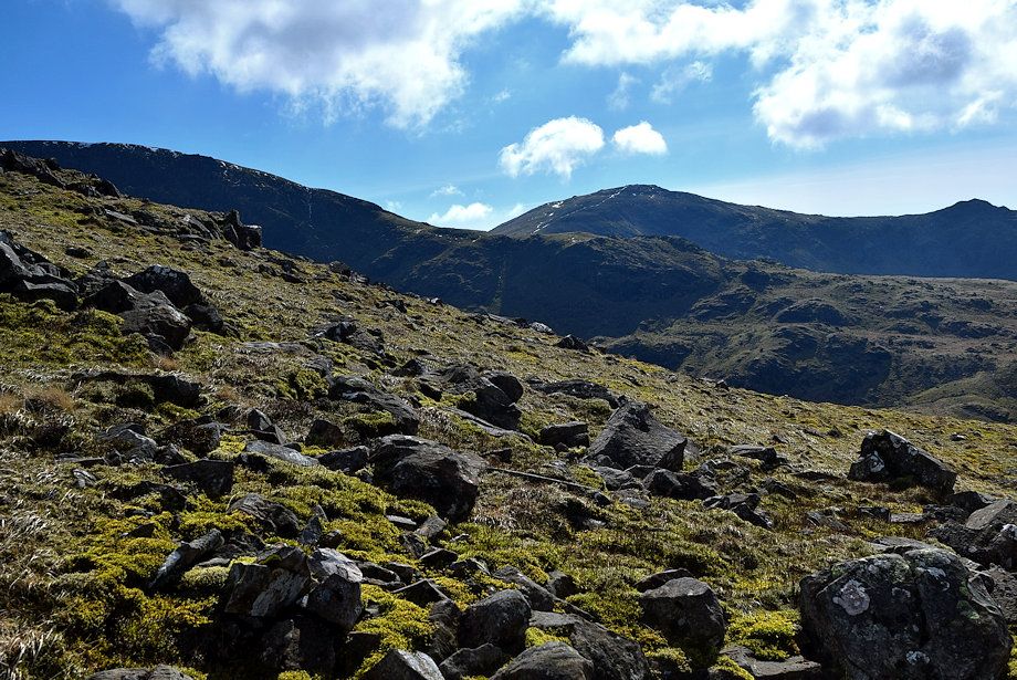 |
| Great Scoat Fell with Haycock and Little Gowder Crag over Tewit How on the right |
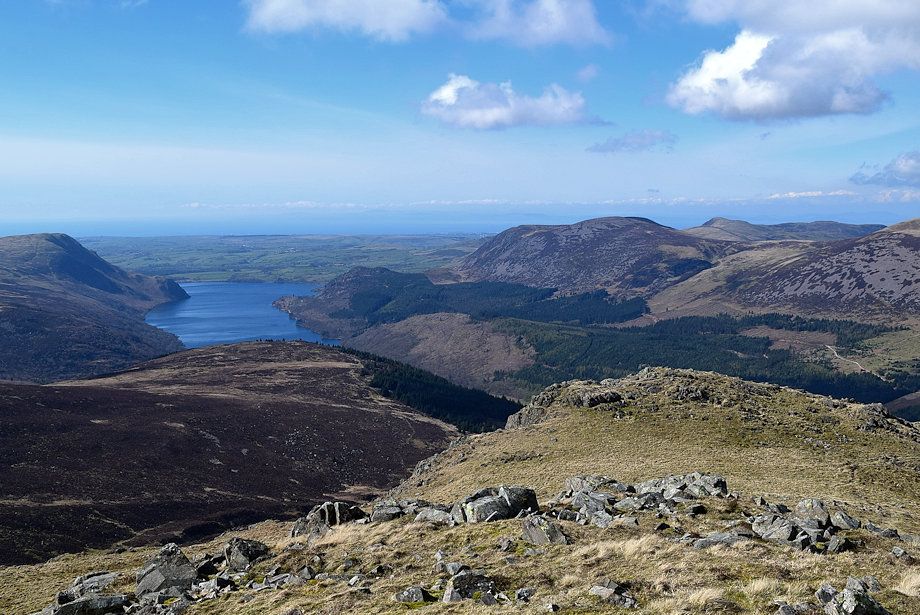 |
| Ennerdale Water from the north ridge |
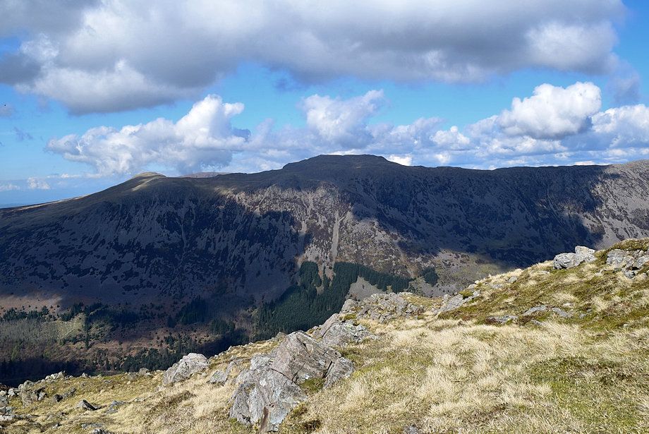 |
| Red Pike and High Stile from the north ridge |
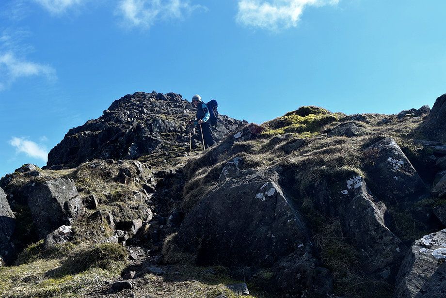 |
| On the edge of the escarpment which gives some dramatic views over Windgap Cove and Mirk Cove |
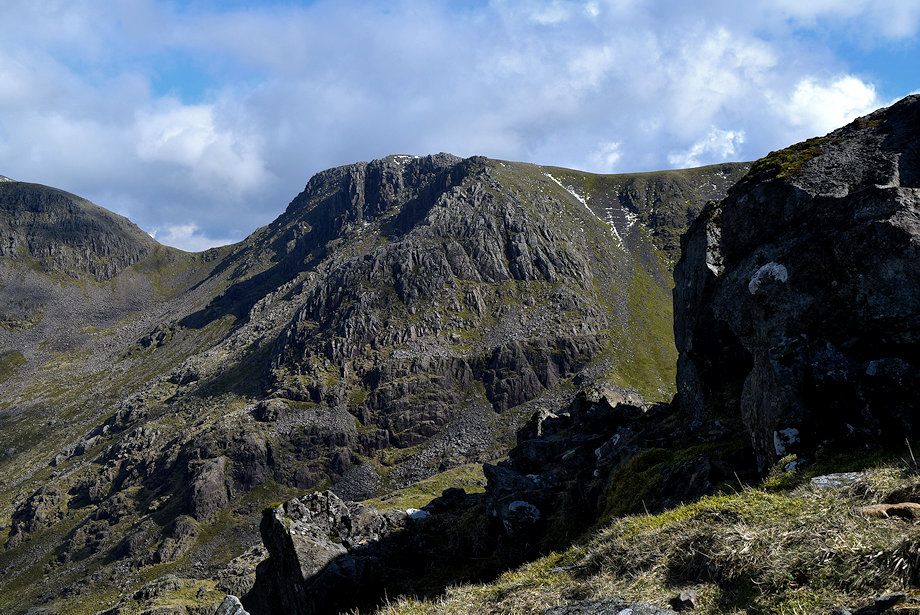 |
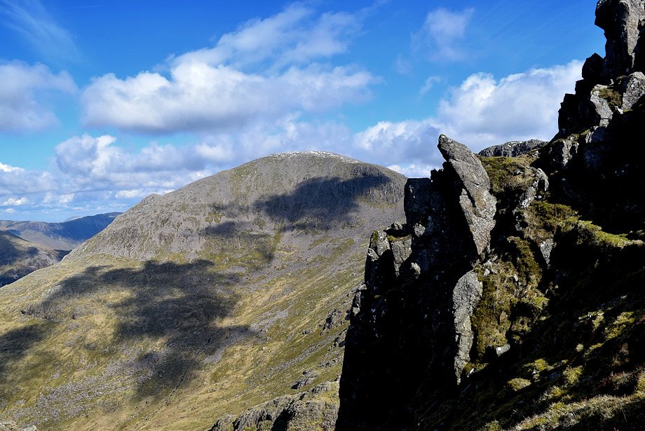
| Black Crag across Mirk Cove |
 |
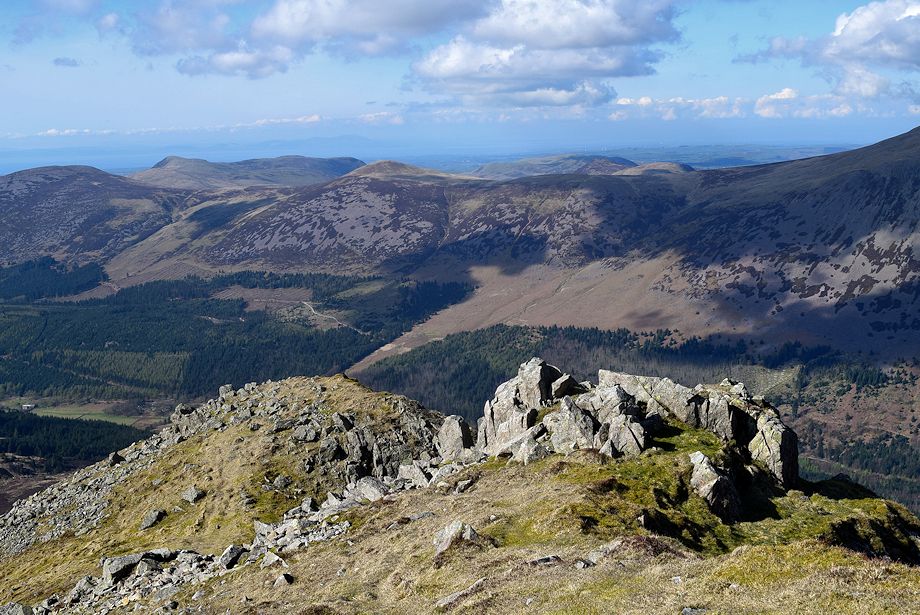
| Pillar across Windgap Cove |
 |
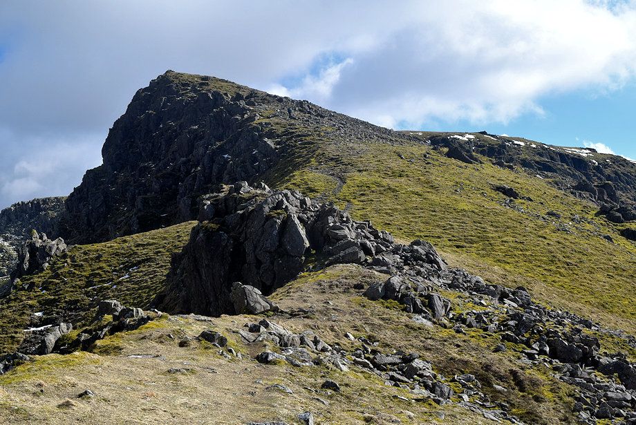
| Starling Dodd across Ennerdale from the top of the Long Crag escarpment |
 |
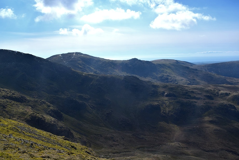
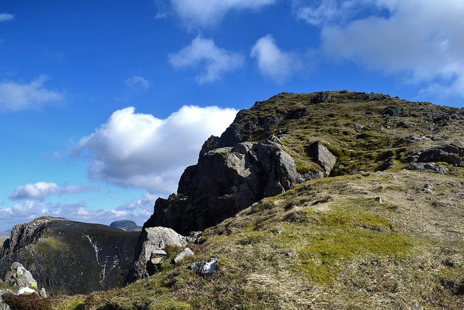
| A final rock pinnacle is turned on the right on the approach to the summit |
 |
| Looking over Mirklin Cove to Haycock, Little Gowder Crag and Caw Fell |
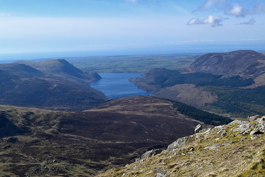 |
| Ennerdale Water over Lingmell |
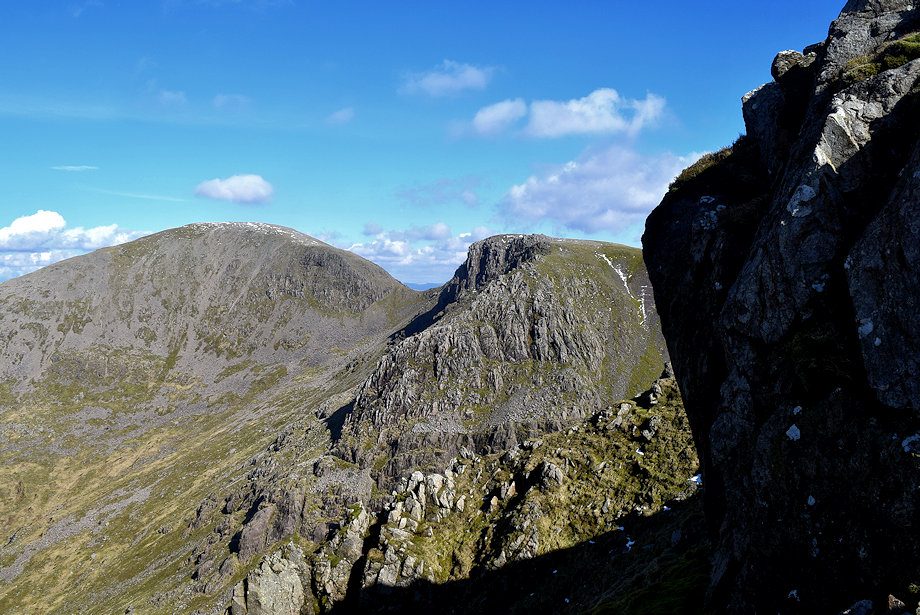 |
| Pillar and Black Crag across the face of the pinnacle |
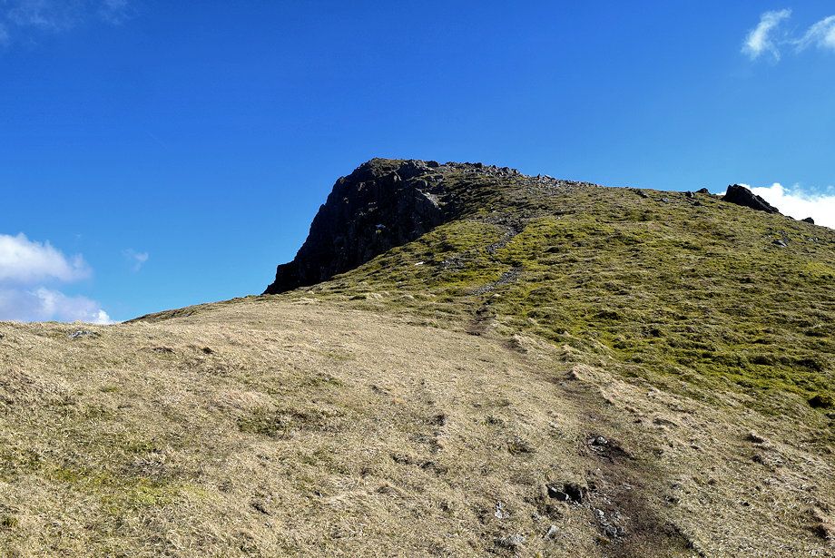 |
| The final slope leading up to the summit of Steeple |
 |
| The summit dome of Great Gable appears over the headwall of Mirk Cove |
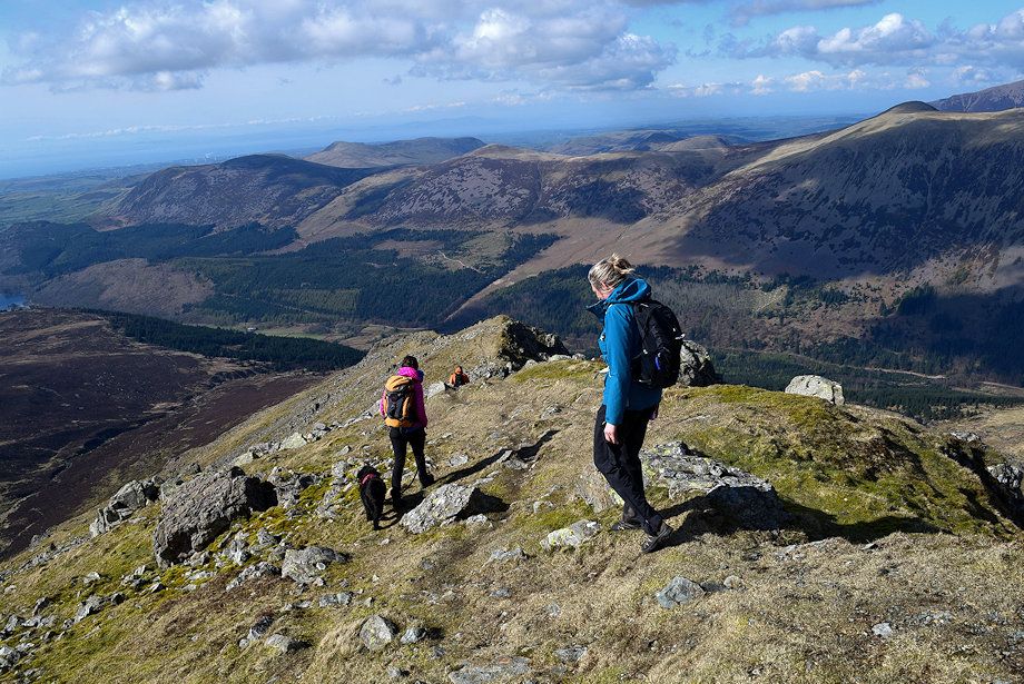 |
| Walkers descending the north ridge |
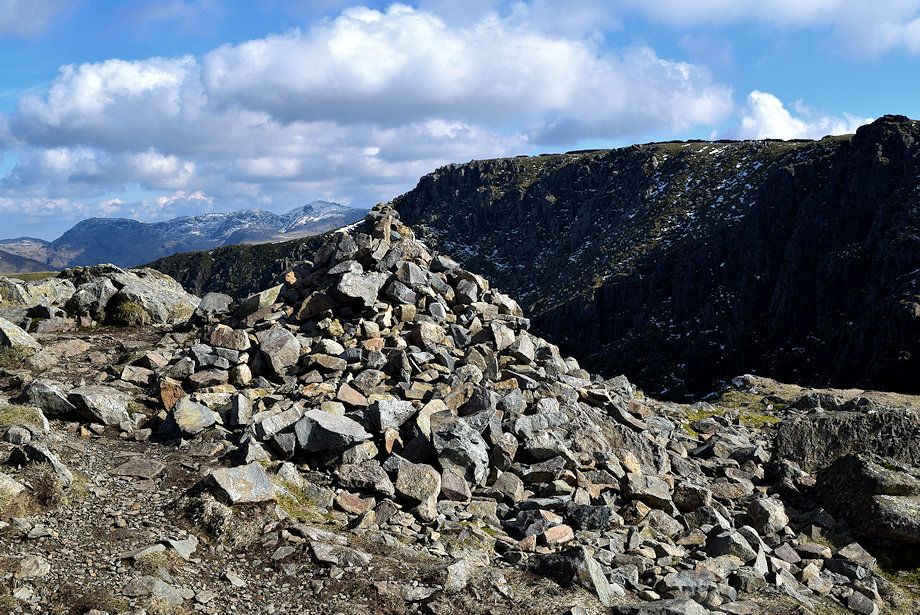 |
| The summit cairn on Steeple |
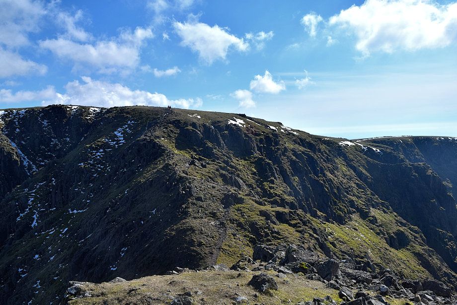 |
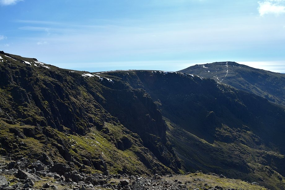
| The connecting ridge to Scoat Fell |
 |
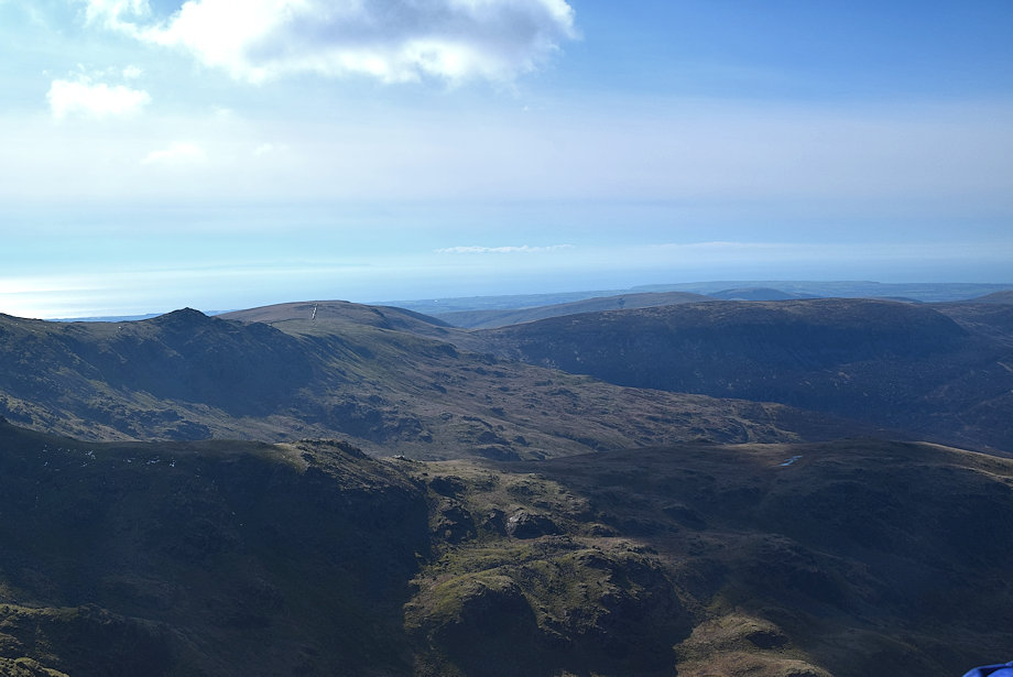
| Great Scoat Fell and Haycock across Mirklin Cove from the summit of Steeple |
 |
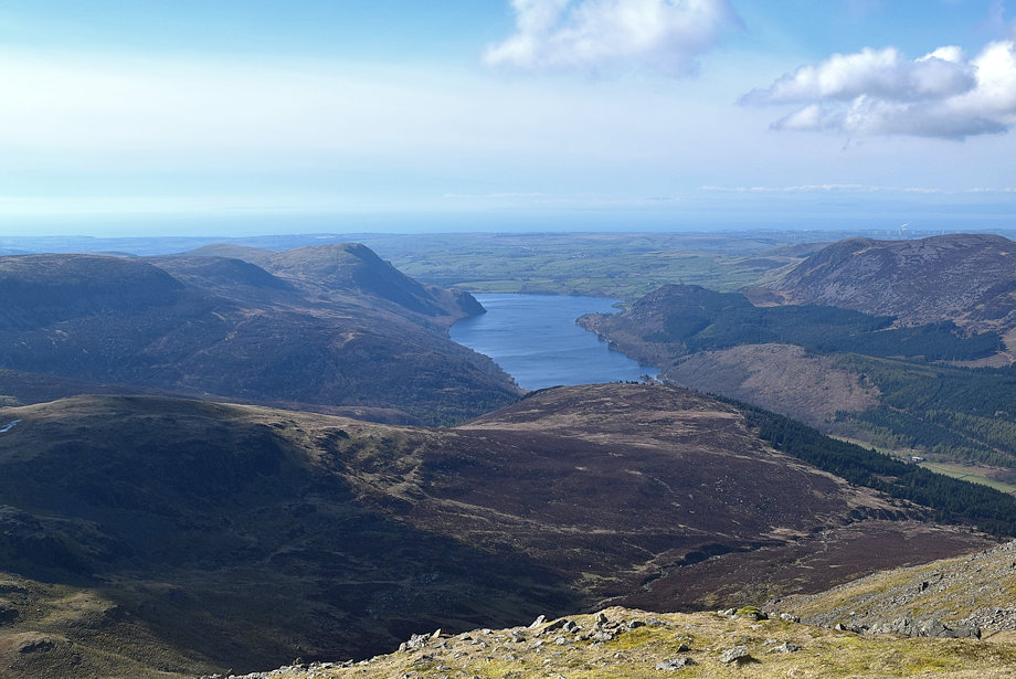
| Little Gowder Crag, Caw Fell and The Side from the summit of Steeple |
 |
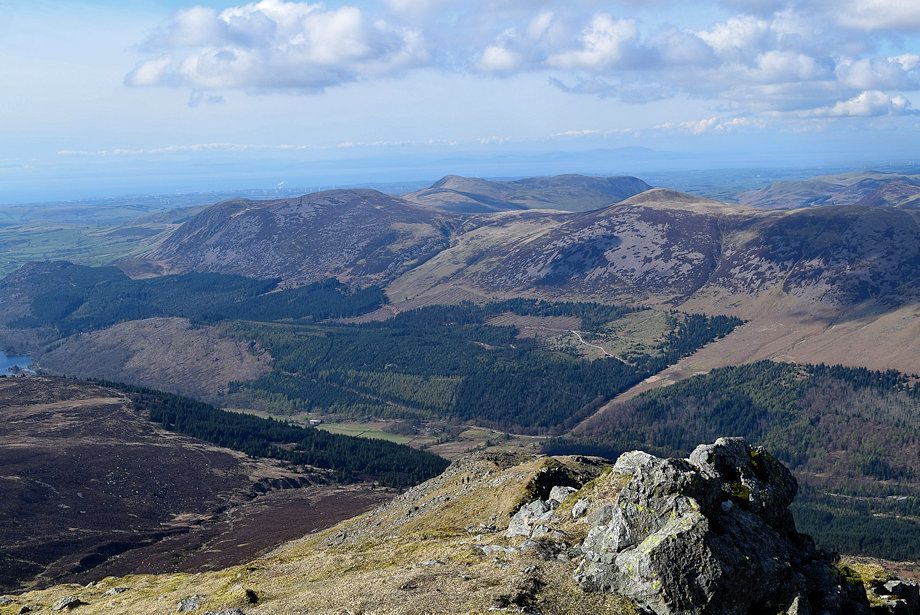
| Ennerdale Water from the summit of Steeple |
 |
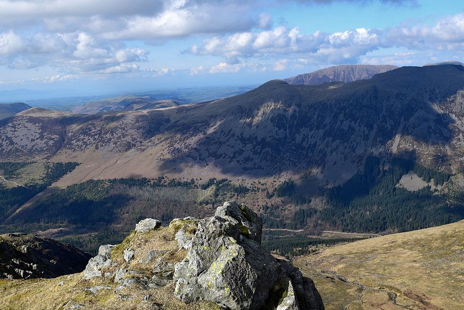
| Great Borne, Gavel Fell, Blake Fell and Starling Dodd across Ennerdale |
 |
| The summit of Grasmoor appears over the ridge between Red Pike and High Stile |
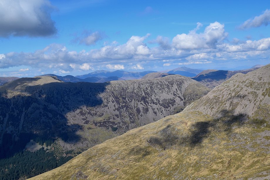 |
| Skiddaw and Blencathra on the horizon |
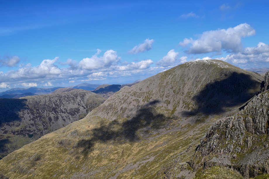 |
| Pillar from the summit of Steeple |
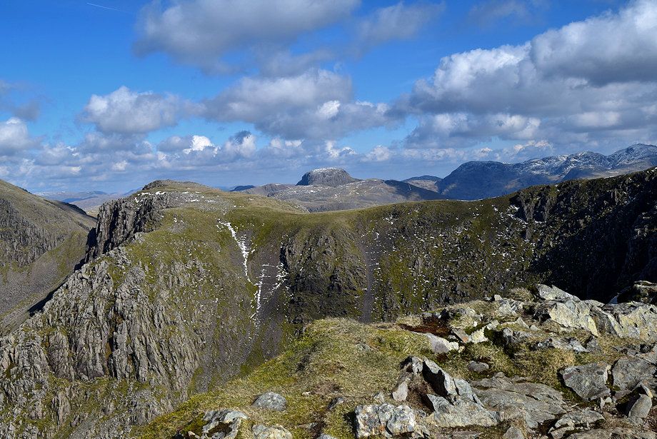 |
| Great Gable and the Scafells over the headwall of Mirk Cove |


