
| Sour Howes - Route One |
| Start - Church Bridge NY 412 027 | Distance - 1.5 miles | Ascent - 1,190 feet |
Time - 1 hour : 10 minutes |
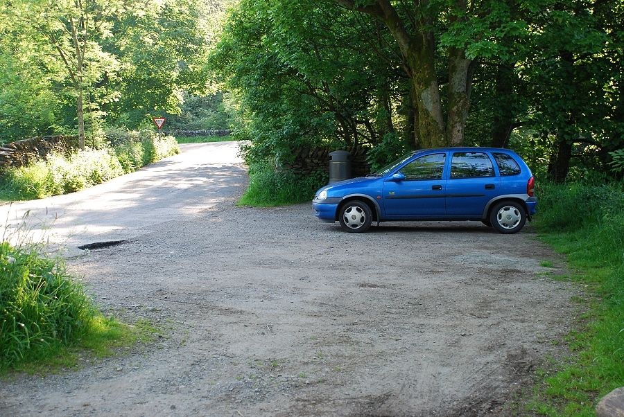 |
| There is a small informal car park located on a minor road on the north side of the bridge |
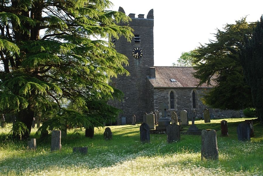 |
| Jesus Church, a short distance north from the bridge |
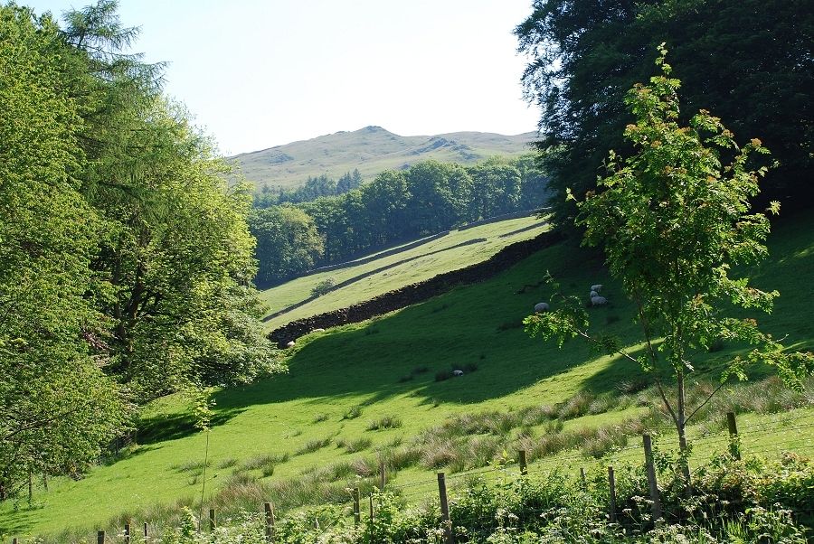 |
| The route can be seen from the road following the line of rock outcrops to the skyline although the actual summit is not in view |
 |
|
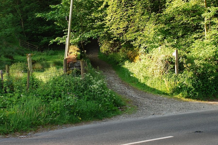
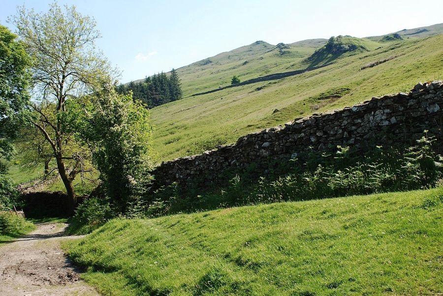
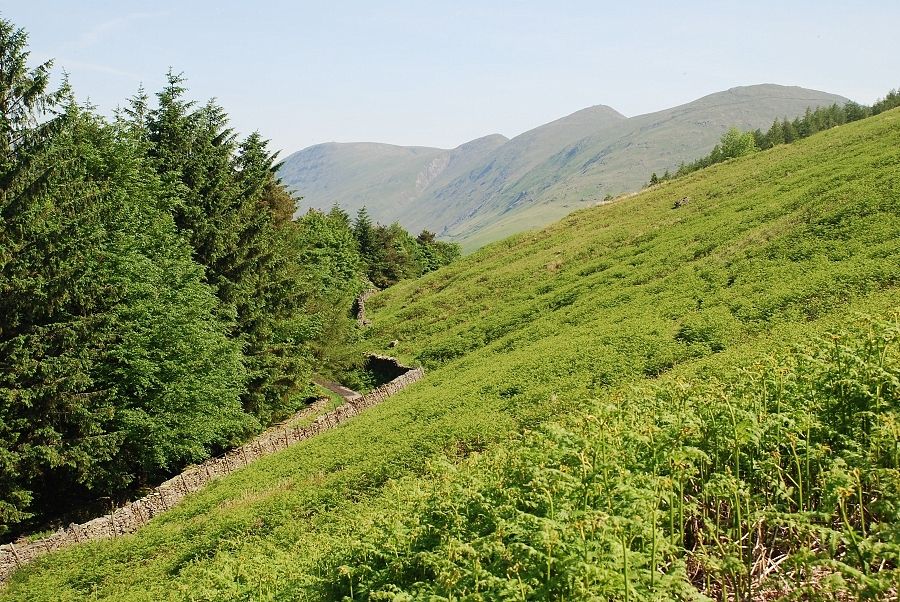
Access to the open fell is provided by the Garburn Road, an old packhorse route between the Troutbeck valley and the Kentmere valley. It starts as a narrow lane around 200 yards south of the bridge |
 |
|
Initially the lane passes between high stone walls and is overshadowed by trees which restrict the views. The tree cover is soon left behind after a steep rise and the view opens up across the Troutbeck valley |
 |
| Higher along the track another "road" joins from the right this is the Longmire Road |
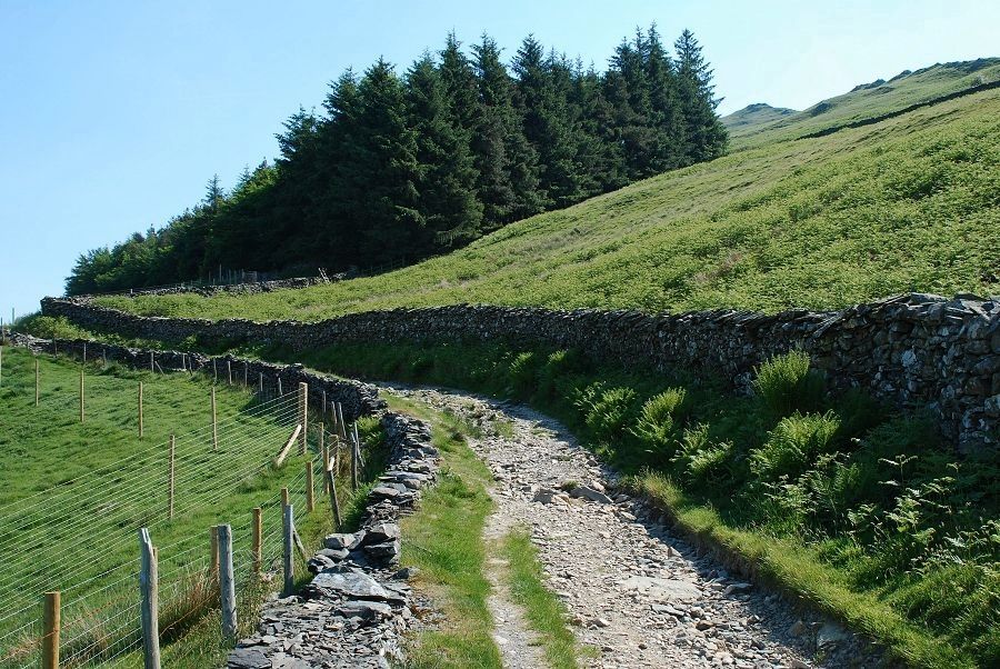 |
| The Garburn Road |
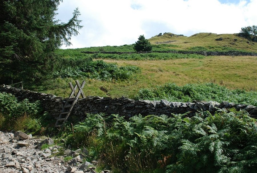 |
| The road is left behind via a stile at the edge of a small plantation, a path climbs steeply across a field to another stile over its upper wall |
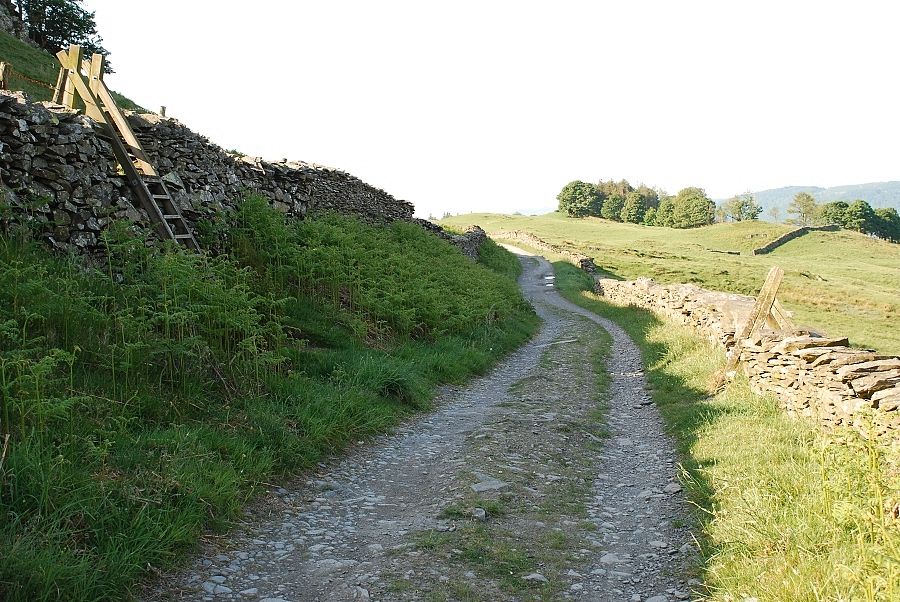 |
| The Dubbs Road is crossed to yet another stile which gives access to the open fellside |
 |
| Looking over to the Ill Bell ridge at the head of the valley |
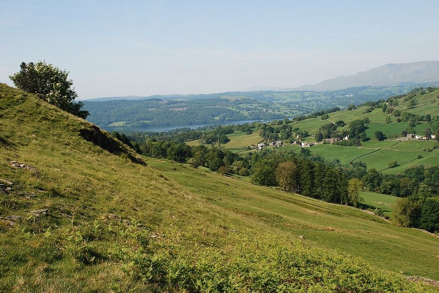 |
| Looking down the lower part of the Troutbeck valley to Windermere |
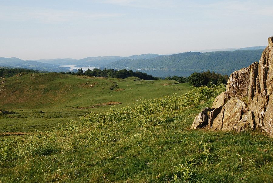 |
| From the first rocky outcrop the view opens along to the lower reaches of Windermere |
 |
| The Coniston Fells from the first rock outcrop |
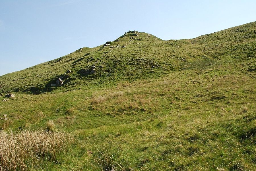 |
| The way ahead, a faint path generally keeps to the right side of rock outcrops |
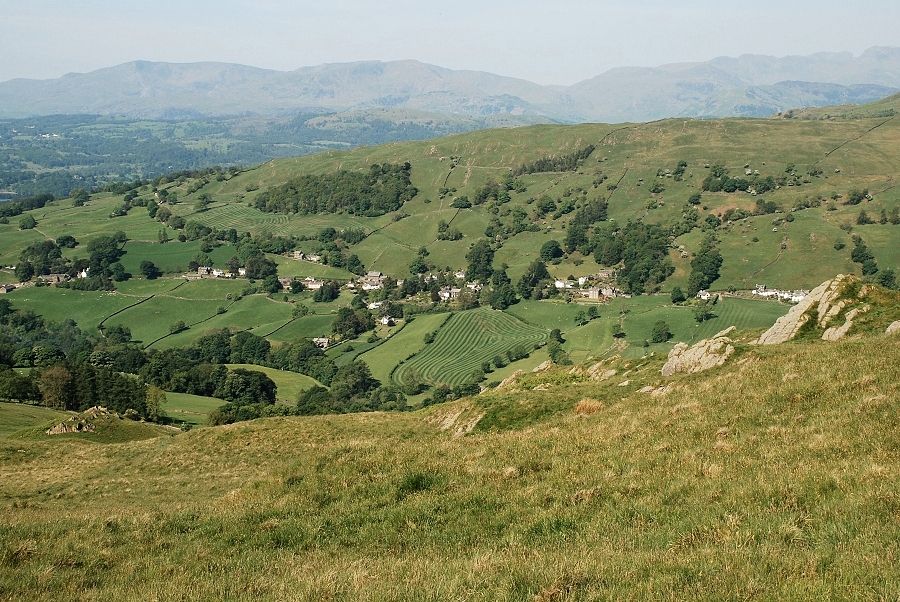 |
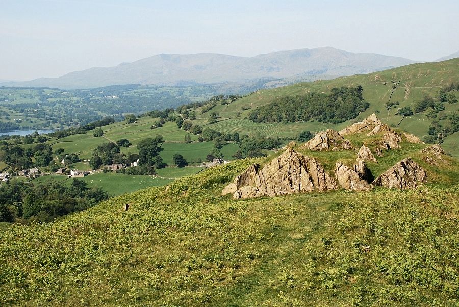
| Halfway up the slope, looking over Troutbeck village to the Coniston Fells with Crinkle Crags, Scafell and Bowfell on the right |
 |
| The head of Windermere from the highest outcrop |
 |
| From the same point, the head of the Troutbeck valley, Caudale Moor, Thornthwaite Crag, Froswick and Ill Bell on the horizon with The Tongue occupying the valley bottom |
 |
| Wansfell Pike across the Troutbeck valley |
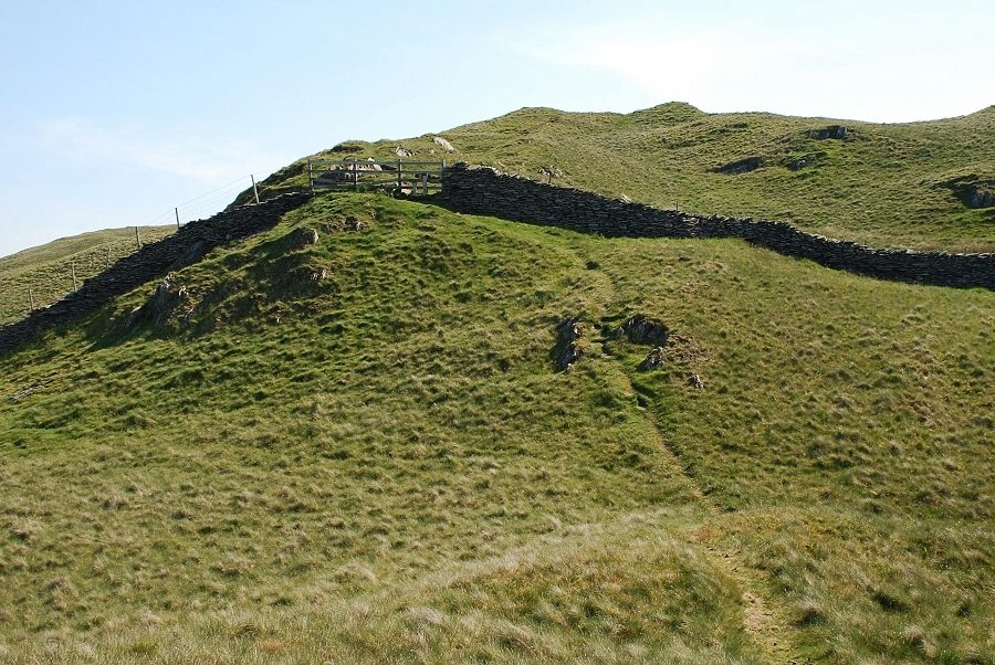 |
| Above the highest outcrop a stile gives access to the upper slopes |
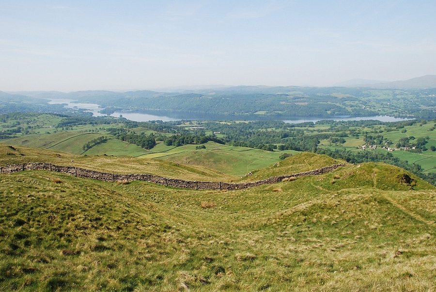 |
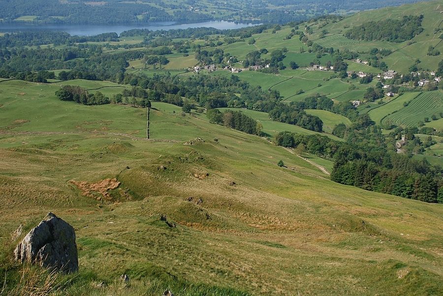
| Windermere from the upper slopes |
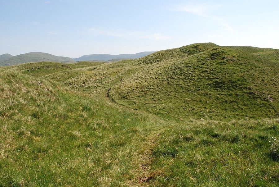 |
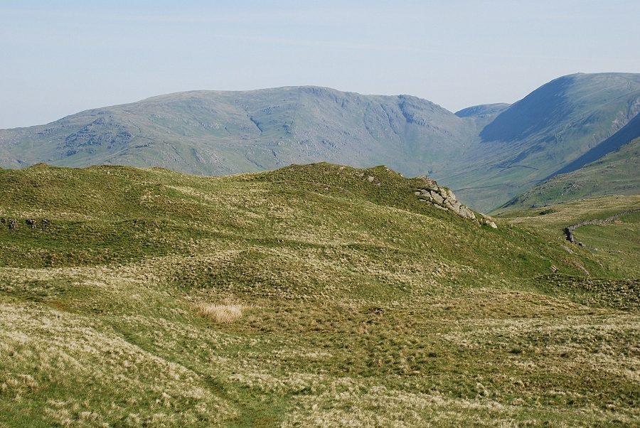
| The summit ridge and the path winding its way around a series of grassy knolls |
 |
| The Coniston Fells from the summit ridge |
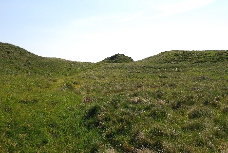 |
| Approaching the summit, the knoll on the left has an equal claim to be the highest point |
 |
| This is the top as described by AW being a narrow ridge with walls of exposed shaly rock although the knoll to the right could well be slightly higher |
 |
| Windermere from the summit |
 |
| Black Combe and the Coniston Fells |
 |
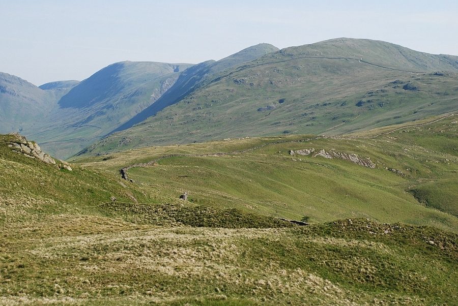
| The distant views to the south and here to the west were very hazy on this walk. Crinkle Crags, Scafell, Bowfell, Scafell Pike and Great End crowd the centre skyline with the summit of Great Gable appearing over the Langdale Pikes |
 |
| Red Screes |
 |
| Caudale Moor and Thornthwaite Crag with Gray Crag beyond the gap of Threshthwaite Mouth |
 |
| Yoke and the ridge leading over Ill Bell to Thornthwaite Crag |
 |
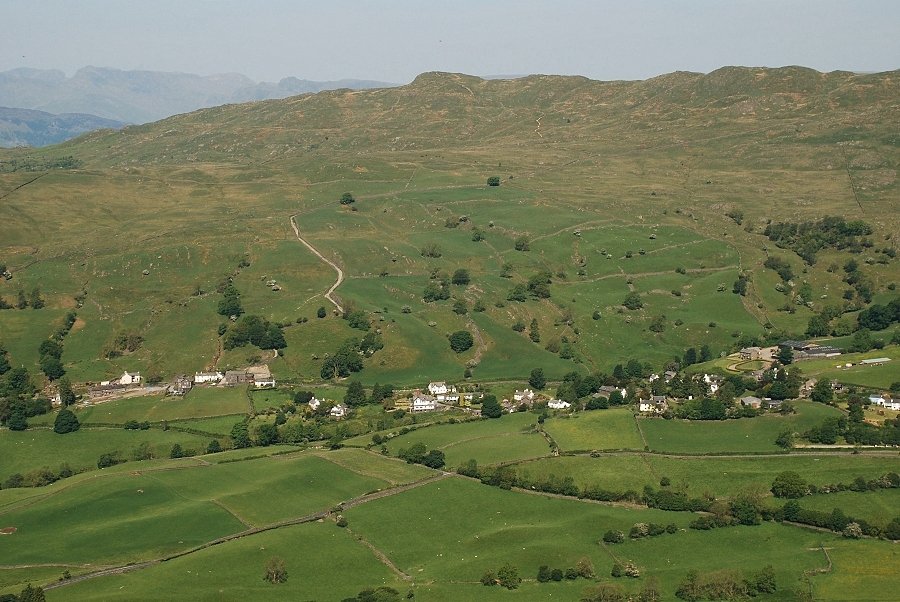
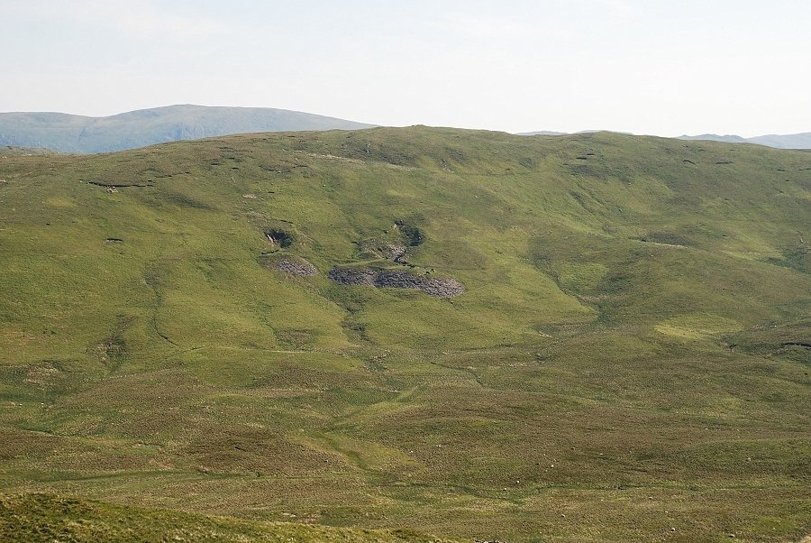
| Looking over Garburn Nook to Harter Fell |
 |
| Sallows across the upper valley of Park Beck |
|