 |
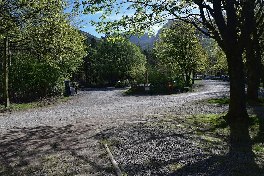
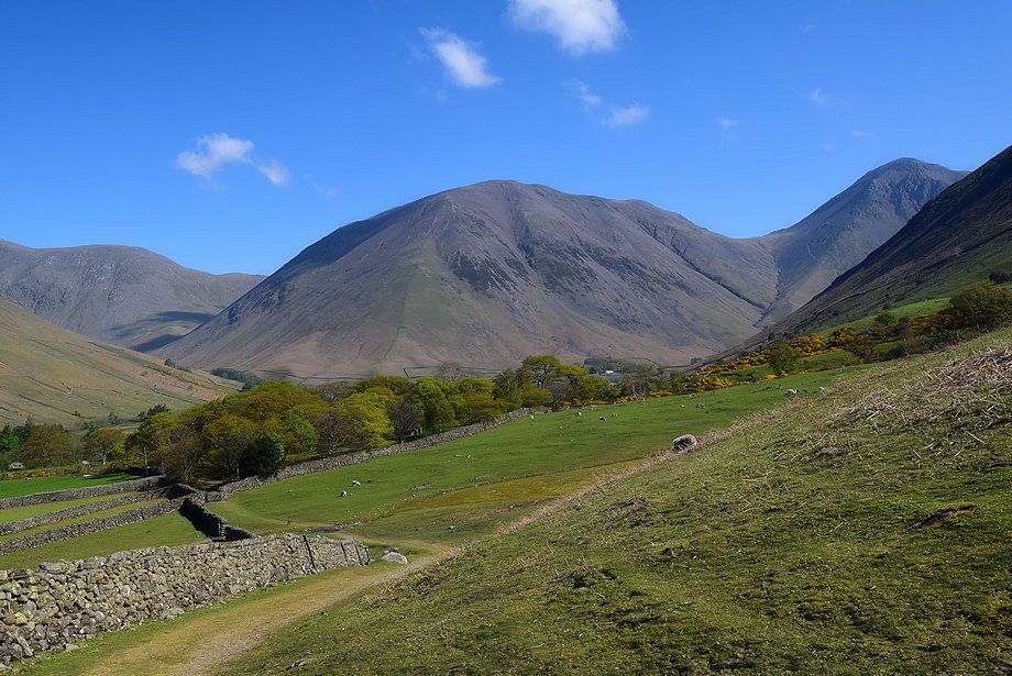
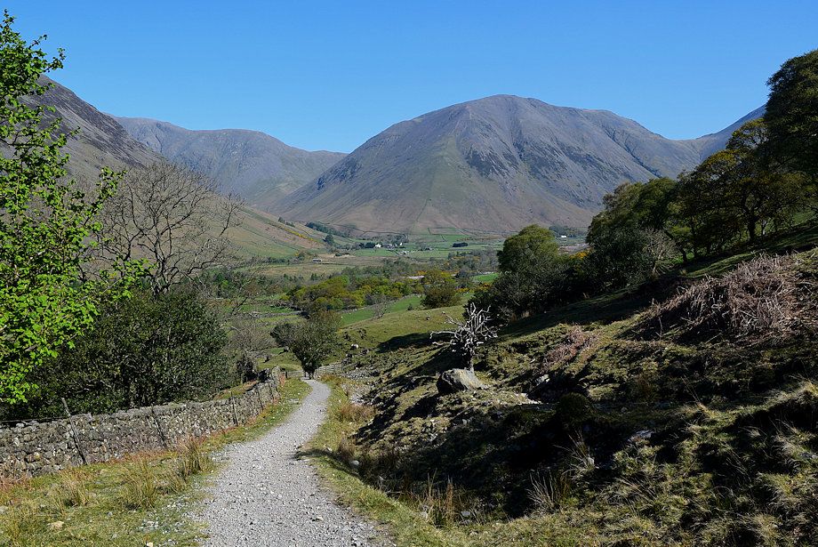
| The National Trust car park adjacent to the campsite is the starting point for this walk |
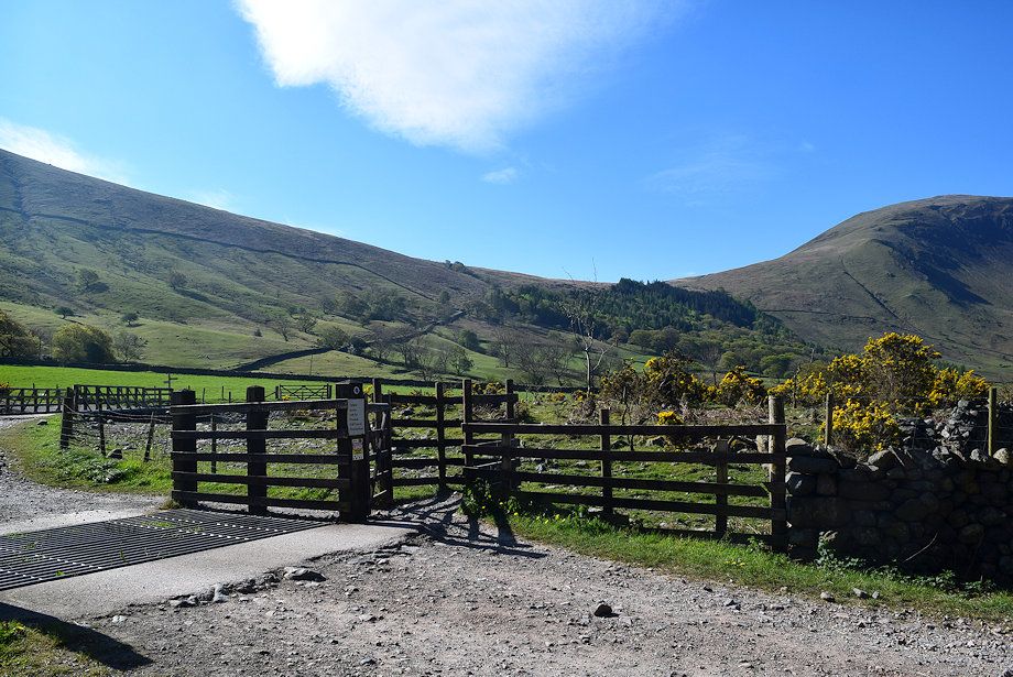 |
| The route follows the old Corpse Road which rises diagonally alongside the wall to the col above the conifer plantation. The road was used in the past to carry the dead of Wasdale by packhorse over to Eskdale for burial in consecrated ground |
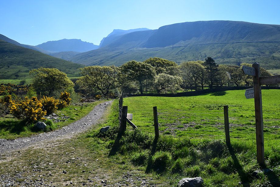 |
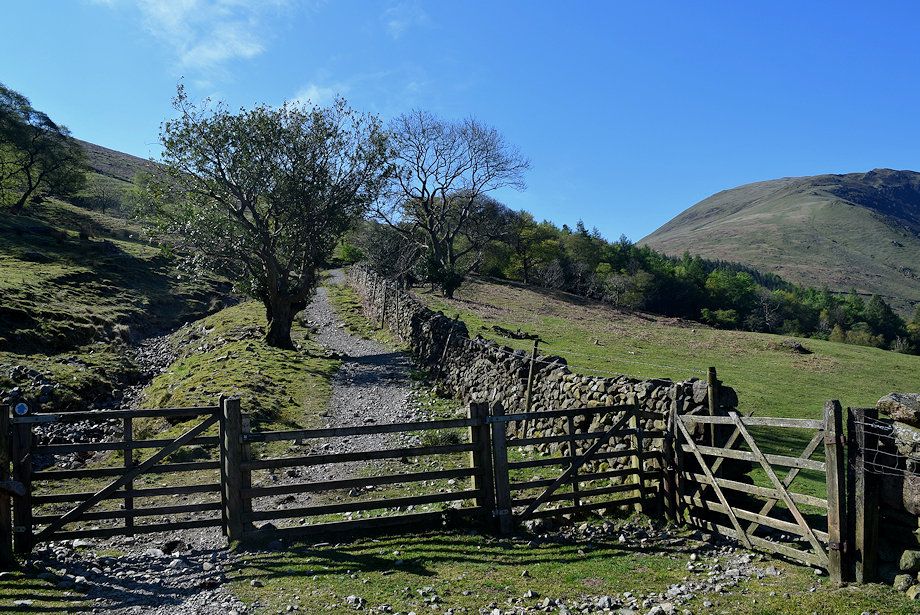
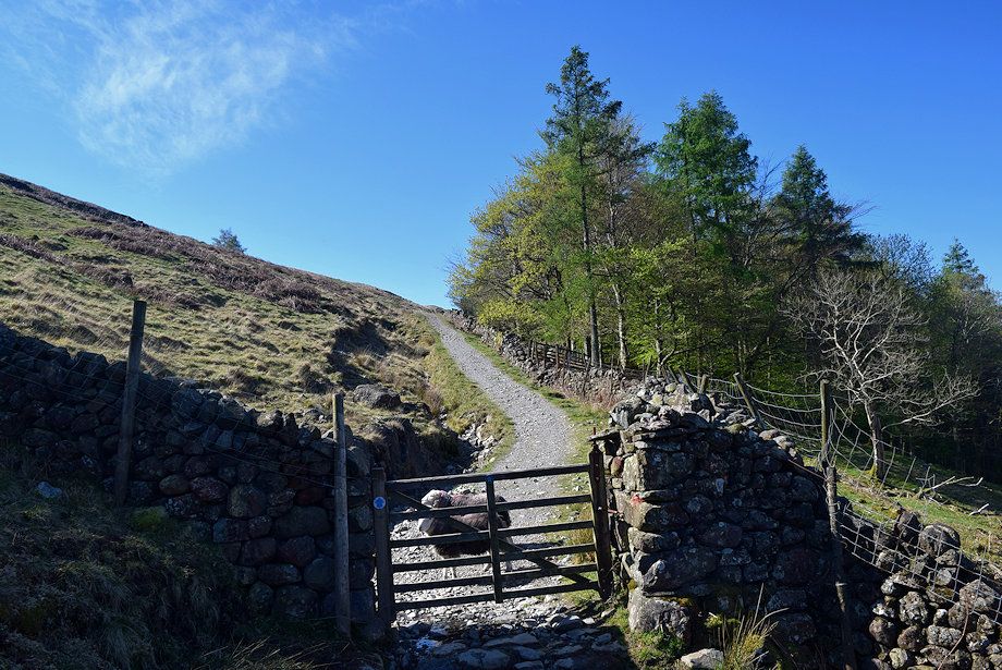
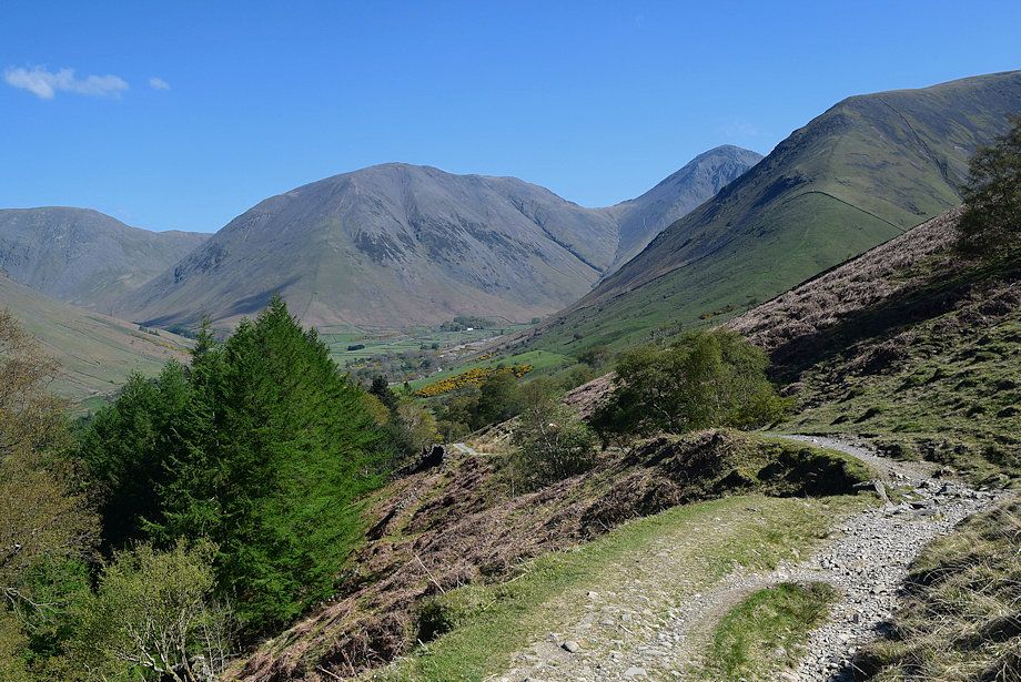
| After crossing the wide bridge spanning Lingmell Gill, follow the old Corpse Road track which is signed for Eskdale and Miterdale. The track soon splits - keep right at the fork passing below Brackenclose, the Fell and Rock Climbing Club hut, set in its wooded enclosure |
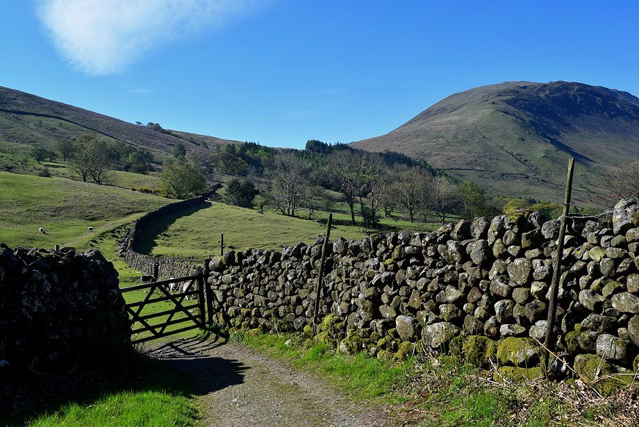 |
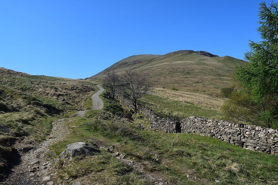
| On emerging from the Brackenclose enclosure the track passes through the first of three gates as it rises gently towards the col below Illgill Head |
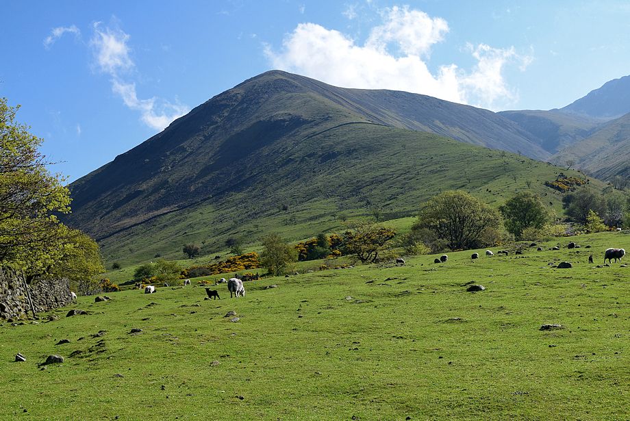 |
| Looking over to Lingmell from the first gate |
 |
| Looking back to Kirk Fell and Great Gable |
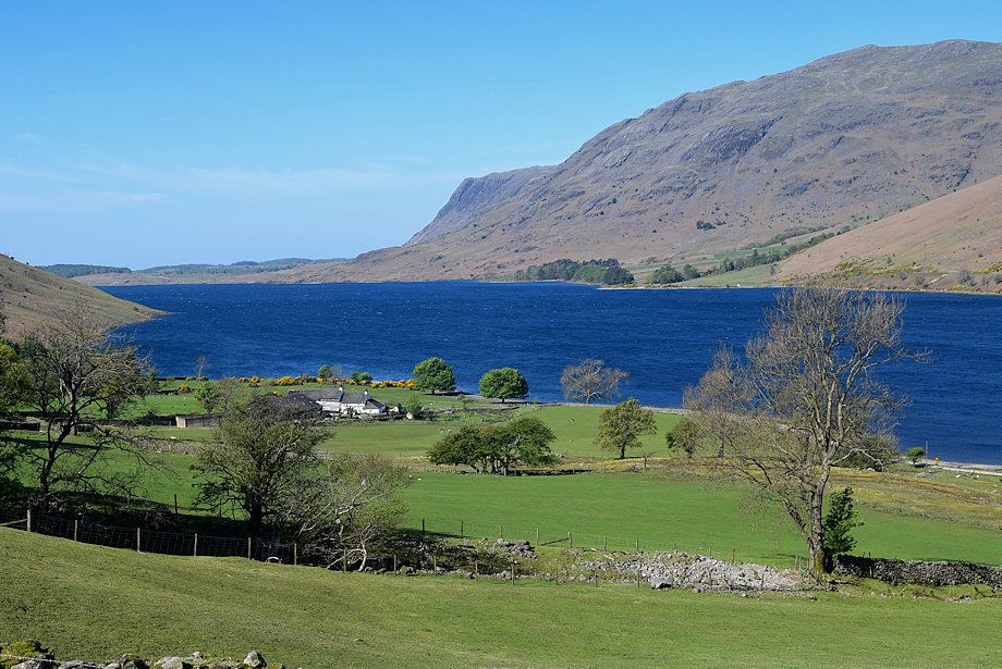 |
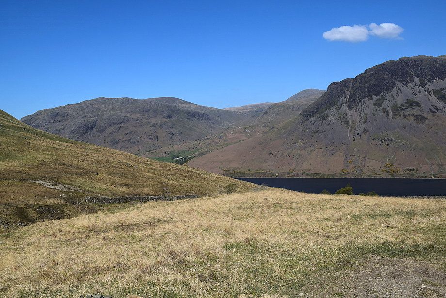
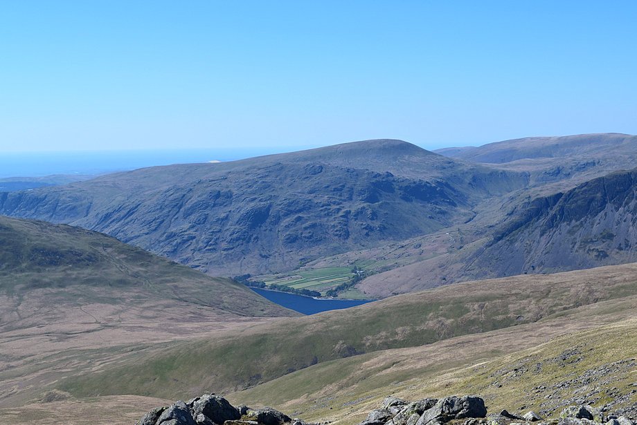
| Buckbarrow and Middle Fell across Wast Water |
 |
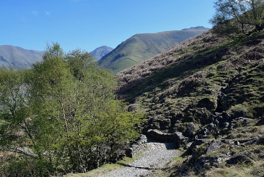
| The track becomes a little rougher on passing through the second gate |
 |
| Looking back to Wasdale Head |
 |
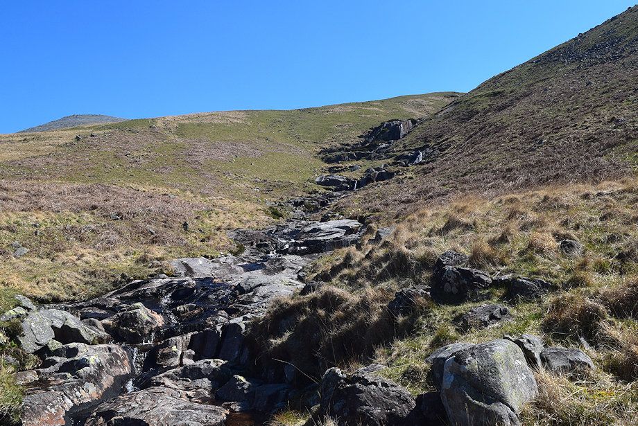
| On passing through the third gate the track emerges onto the open fellside and climbs towards an unusual double arched bridge over the confluence of Hollow Gill and Groove Gill |
 |
| Looking back from Hollow/Groove Gills' bridge |
 |
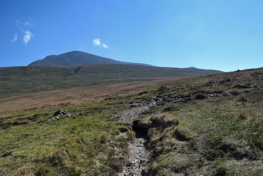
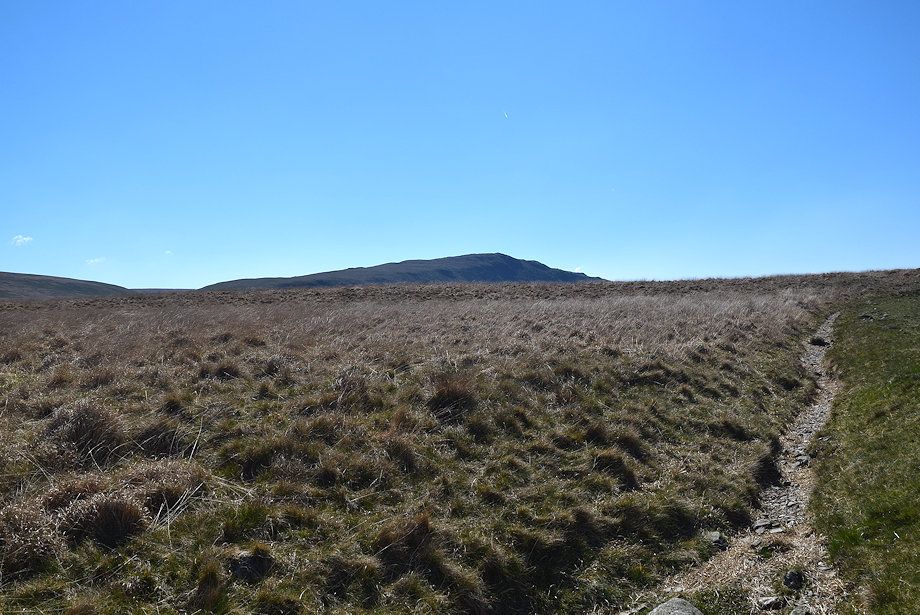
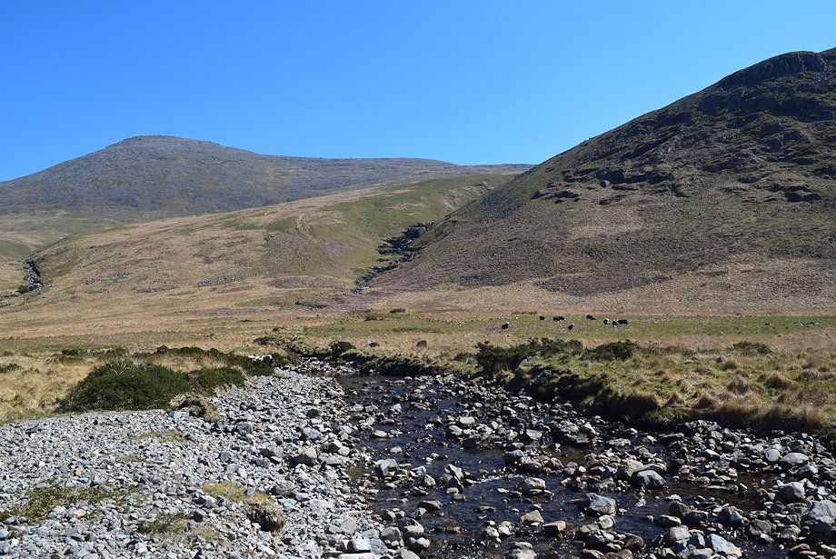
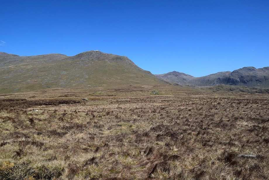
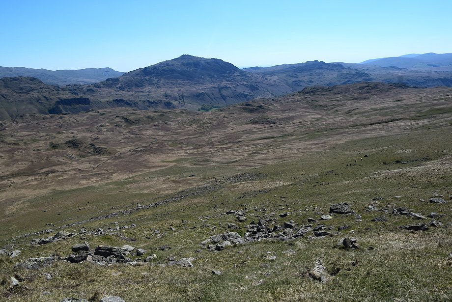
| Illgill Head from the old Corpse Road |
 |
| Looking back along the old Corpse Road |
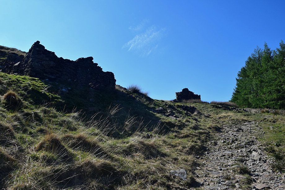 |
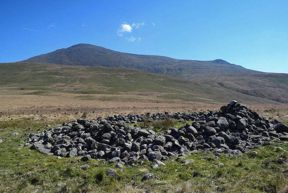
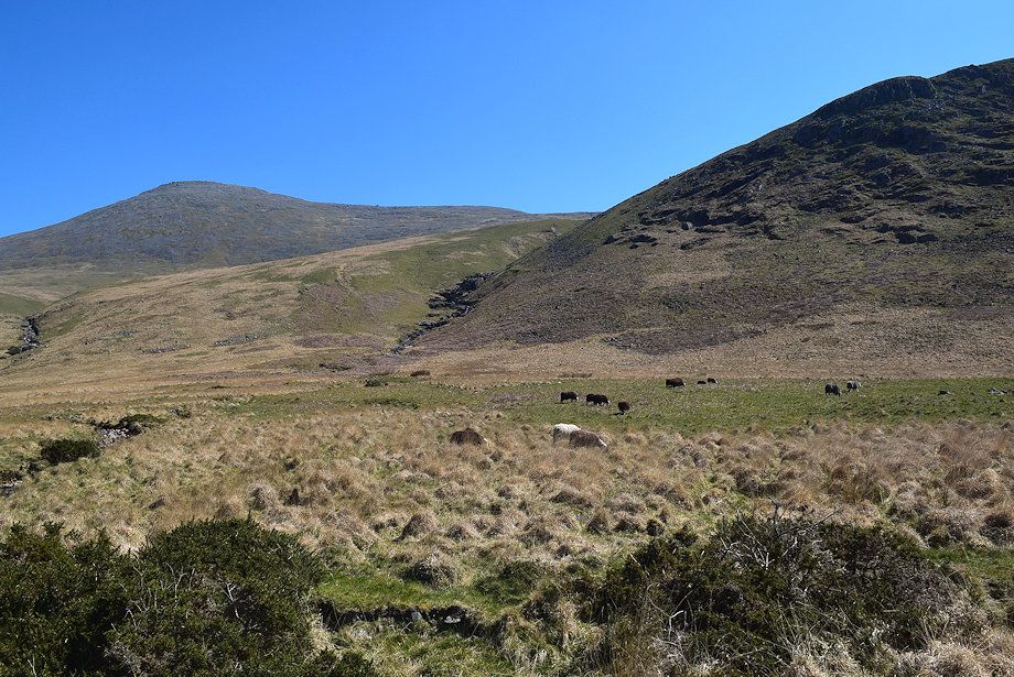
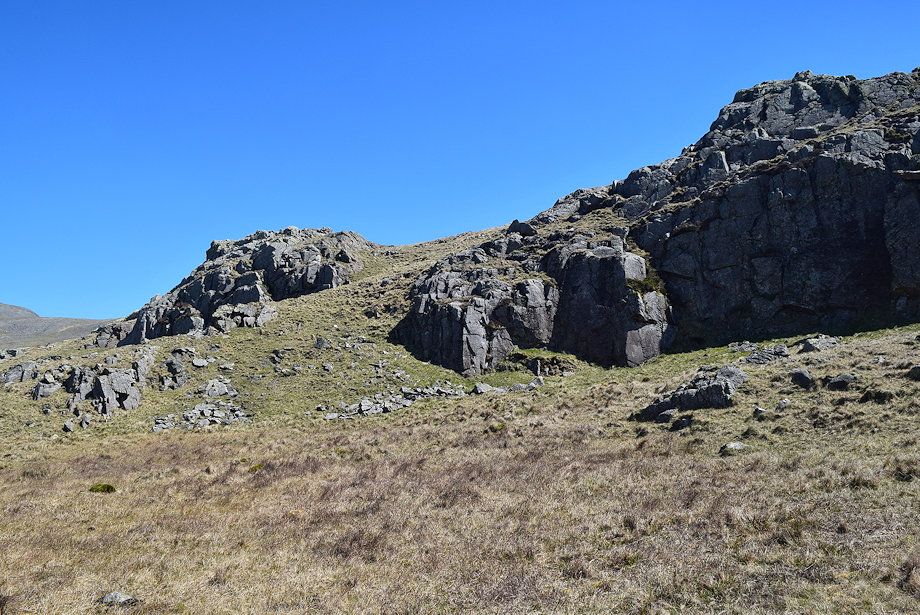
| The old Corpse Road passes below the ruins of three peat huts once used for storing partly dried peat turves. There are several more ruins of huts higher on the fellside above these ones |
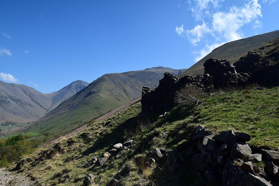 |
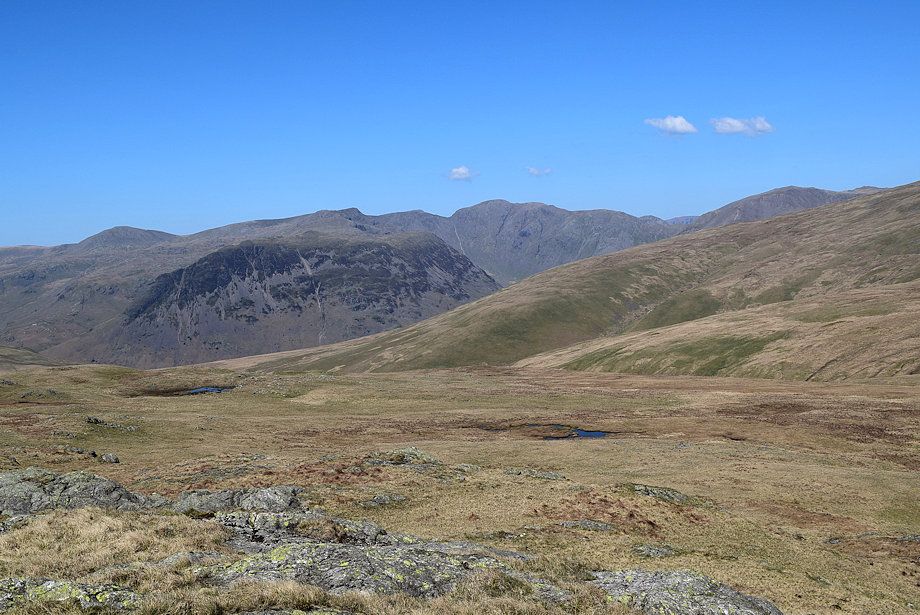
| Great Gable and Lingmell from the ruined peat huts |
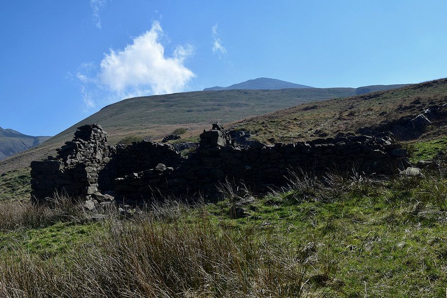 |
| The summit of Scafell from the ruined peat huts |
 |
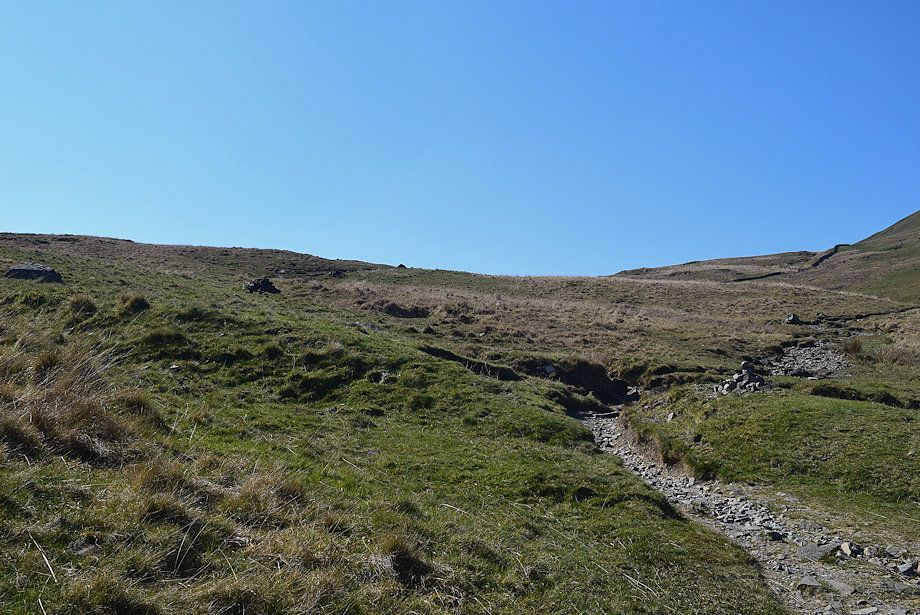
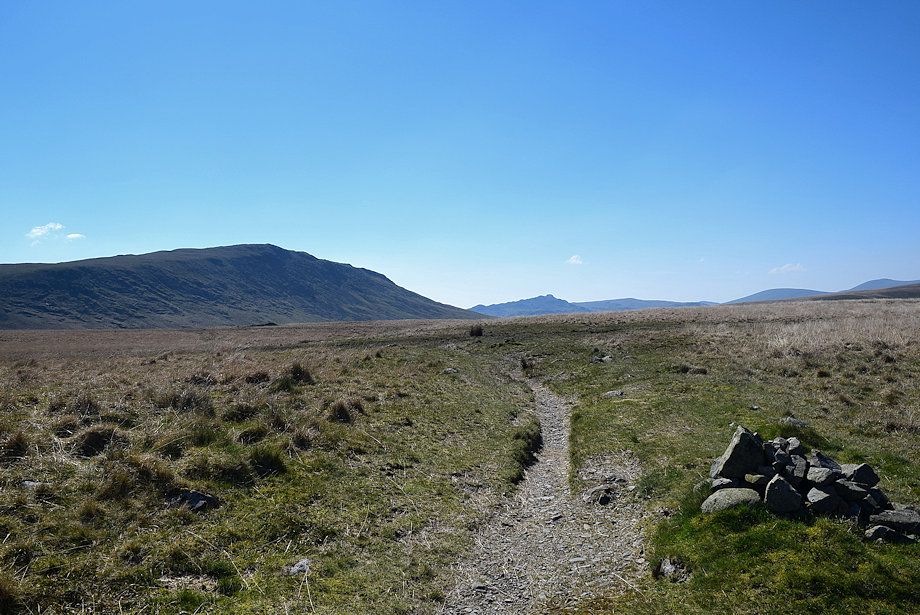
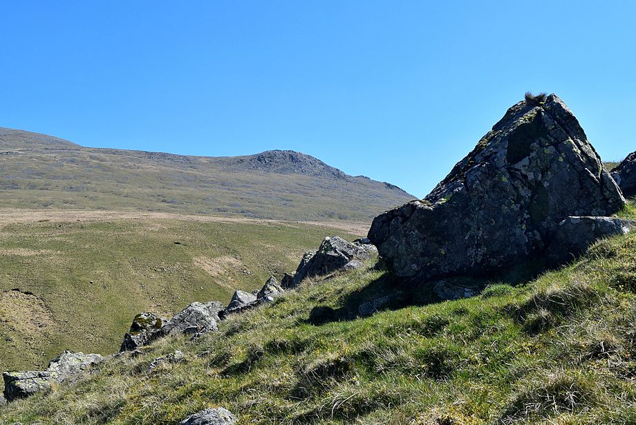
| Approaching the col below Illgill Head |
 |
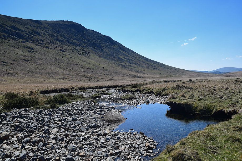
| The track divides about 170 yards beyond the ruined peat huts. The right branch descends to cross Straighthead Gill bound for the summit of Illgill Head, the Corpse Road leads left on towards Burnmoor Tarn |
 |
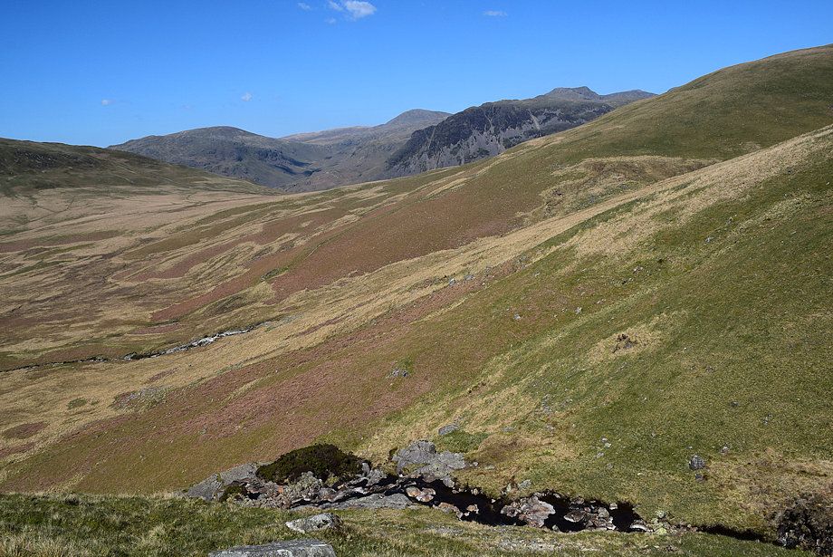
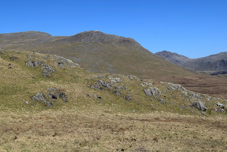
| Looking over from the Corpse Road towards Middle Fell, Seatallan, and Yewbarrow |
 |
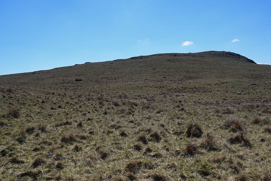
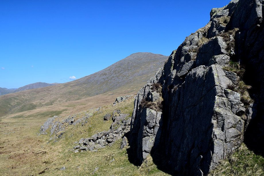
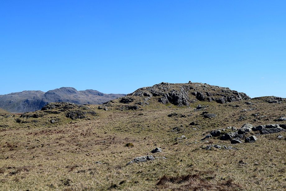
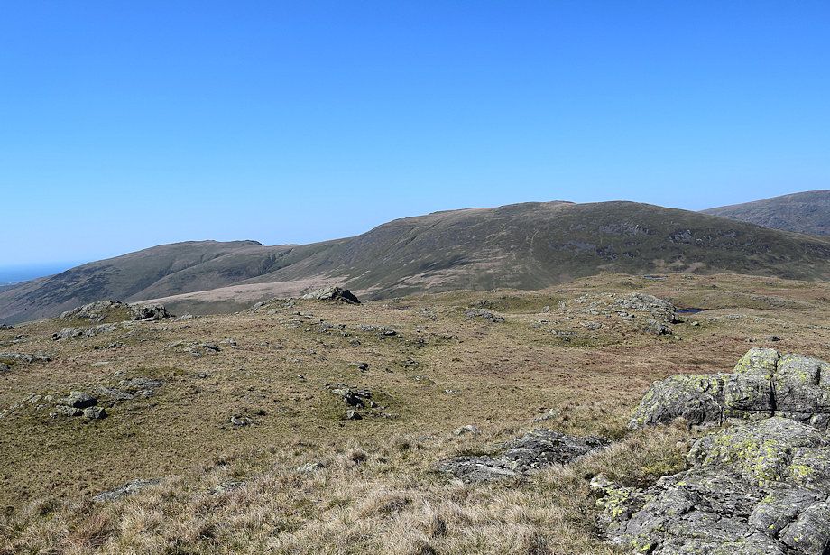
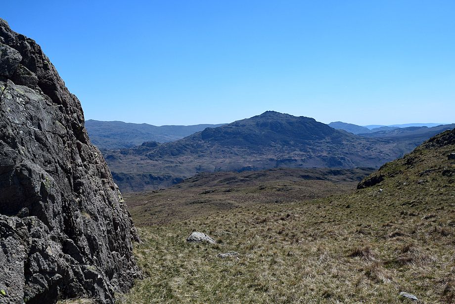
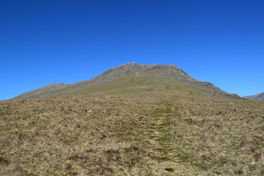
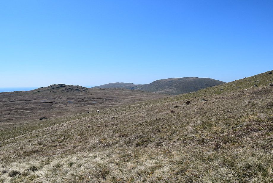
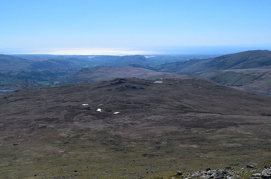
| The summit of Slight Side comes into view for the first time, right of centre above Hard Rigg |
 |
| Great How comes into view |
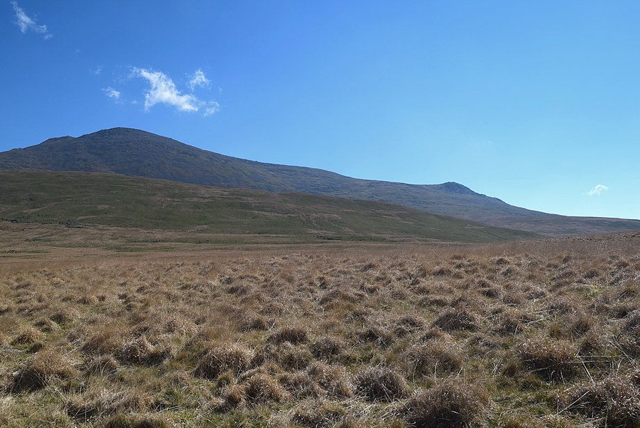 |
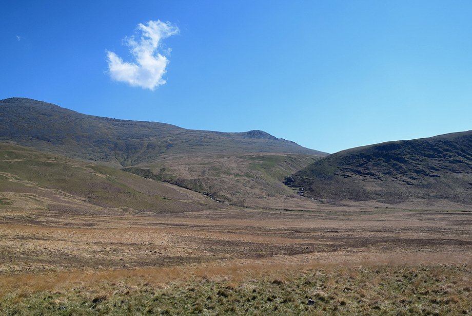
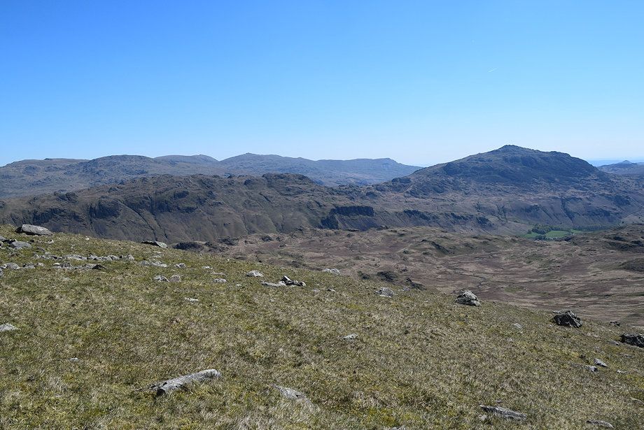
| Looking over towards Scafell and Slight Side |
 |
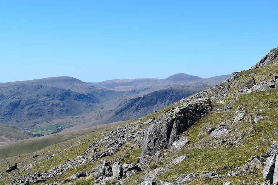
| Looking back along the Corpse Road towards Yewbarrow, Pillar and Kirk Fell |
 |
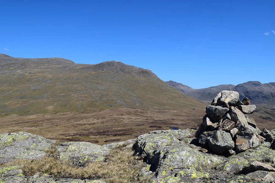
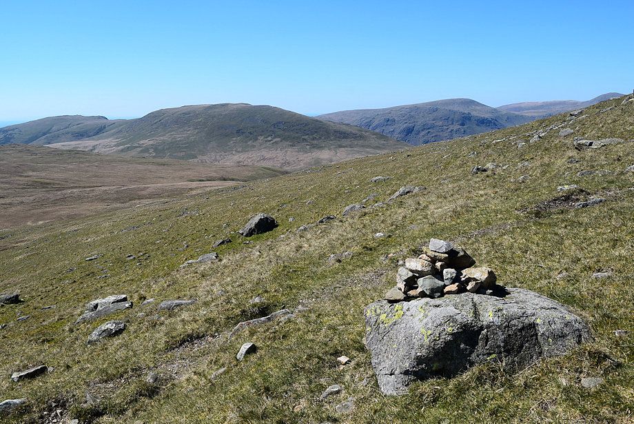
| Approaching the highest point of the Corpse Road. The large cairn on the moor, below Great How, is well worth a visit - a path leads over towards it |
 |
| Maiden Castle, a round cairn burial mound dating back to the Bronze Age. There are dozens more, not all marked on the map, scattered around this desolate moorland. Time to rejoin the Corpse Road - click HERE to read a version of well known ghost story which features it. |
 |
| The Corpse Road begins to descend towards Burnmoor Tarn |
 |
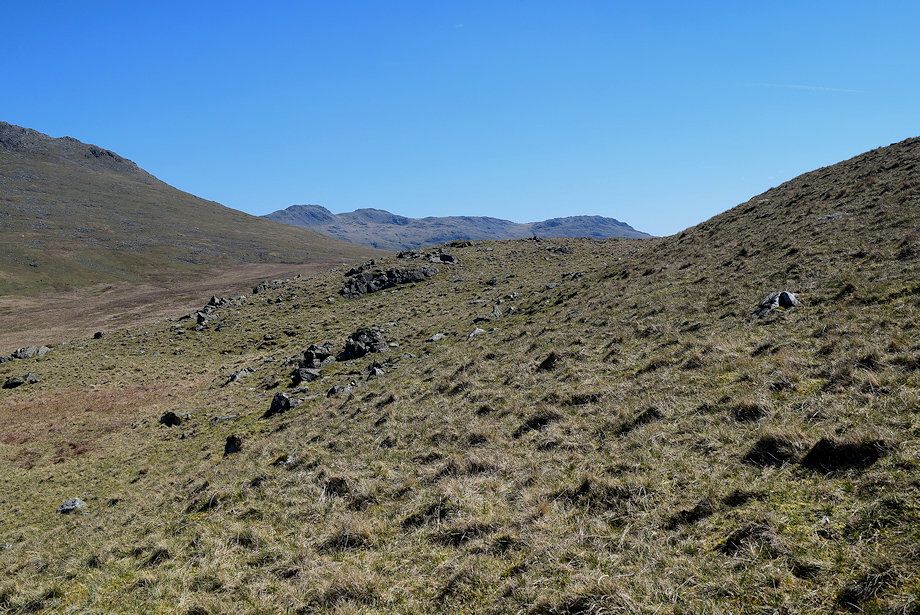
| Looking across to Slight Side with Broad Tongue flanked by Hardrigg Gill on the left and Oliver Gill on the right |
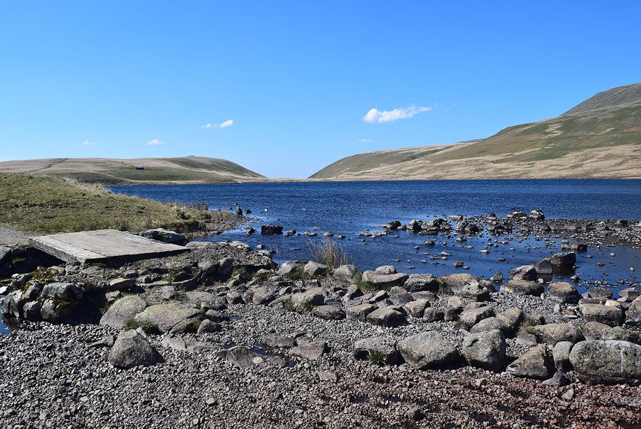 |
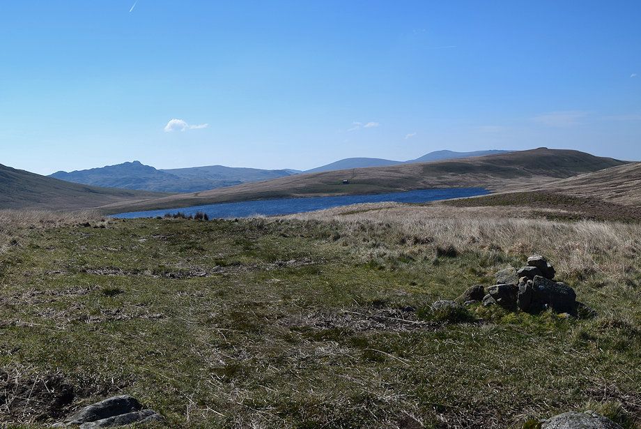
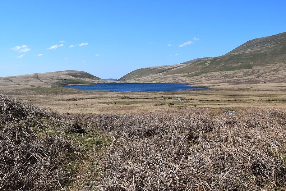
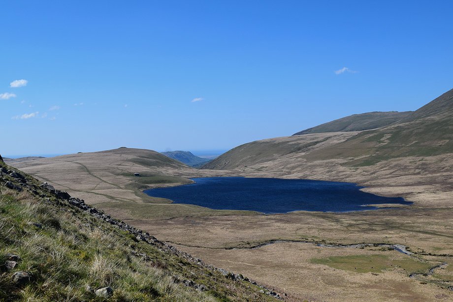
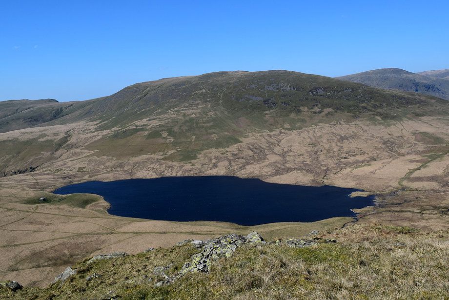
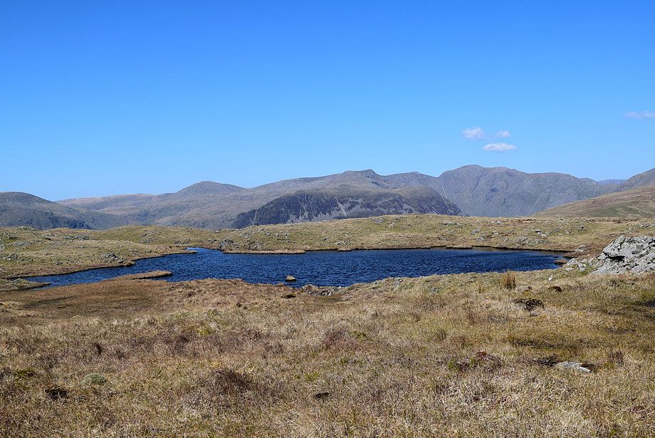
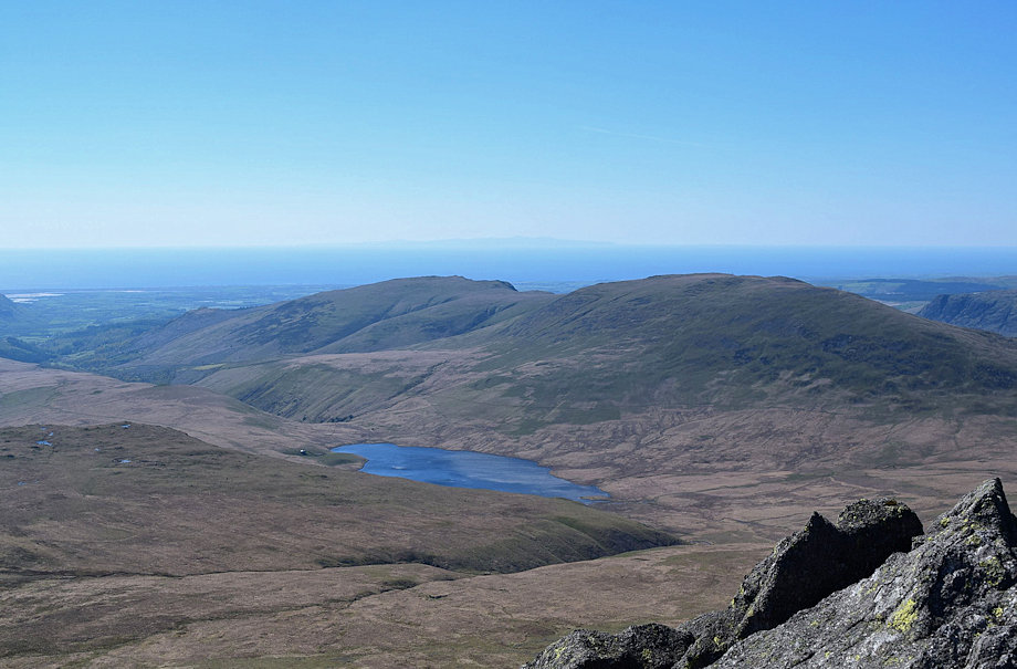
| Burnmoor Tarn from Bulatt Bridge, it's time to leave the Corpse Road to begin the ascent of Great How |
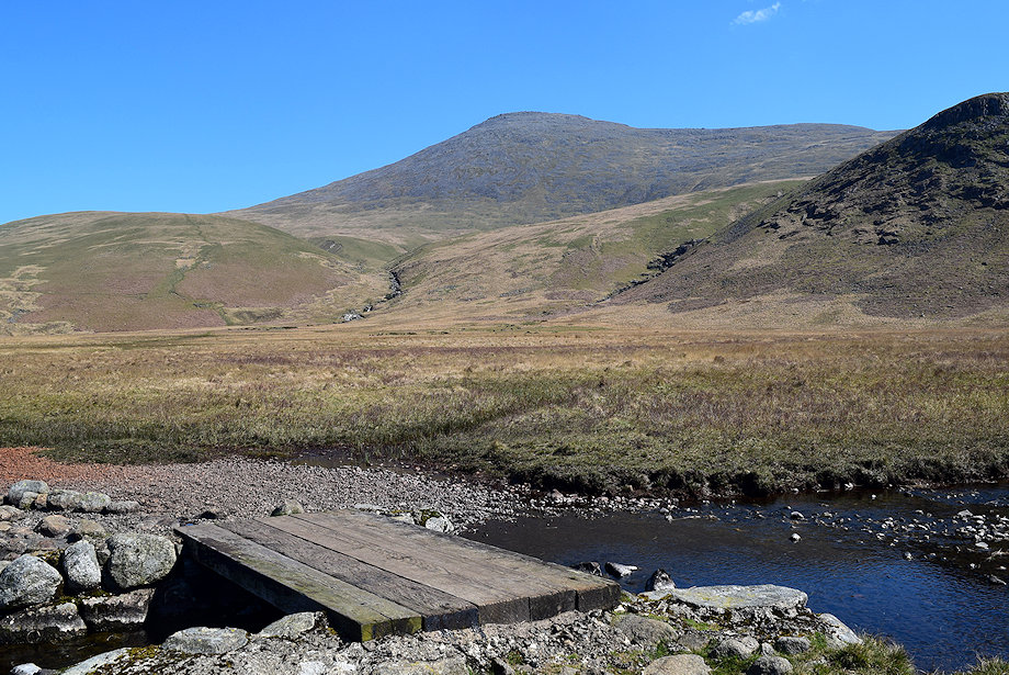 |
| Scafell from Bulatt Bridge. There's no need to cross the bridge, just head straight over towards Oliver Gill |
 |
| Heading over towards Oliver Gill, the beck needs to be crossed at a suitable point near its confluence with Hardrigg Gill |
 |
| Great How from the crossing point, there is normally no problem crossing the beck |
 |
| Continuing alongside the southern bank of the beck |
 |
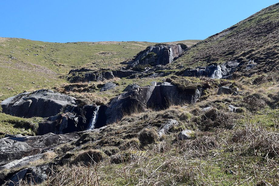
| At the foot of Oliver Gill, the objective is to reach a terrace path to the right and above the large rock feature in the bed of the gill |
 |
| Looking back to Burnmoor Tarn from the foot of Oliver Gill |
 |
| Climbing up to the terrace path, which is little more than a sheep trod coming up from Eel Tarn above Eskdale |
 |
| The summit of Scafell above Broad Tongue from the terrace path |
 |
| Looking over towards Seatallan, Haycock, Yewbarrow and Red Pike from the terrace path |
 |
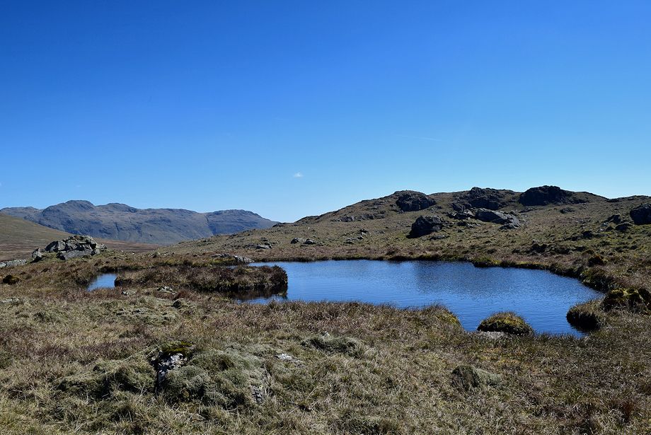
| Burnmoor Tarn from the terrace path |
 |
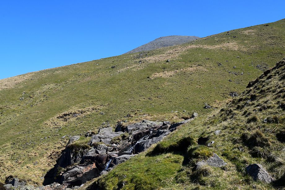
| The path soon fades and all but disappears as it meets Oliver Gill. Follow it for a few yards before climbing directly up the steep prow of Bleaberry How |
 |
| Looking down to Oliver Gill from the climb up Bleaberry How |
 |
| Slight Side from Bleaberry How |
 |
| A more gentle slope rises alongside the escarpment to a cairn on Raven Crag which is a fine viewpoint |
 |
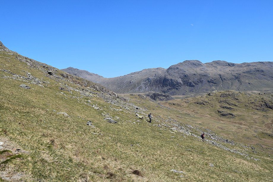
| Looking over to Crinkle Crags from the climb to Raven Crag |
 |
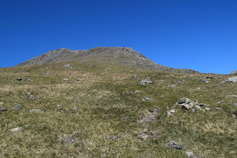
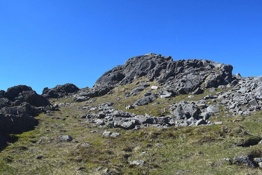
| Approaching the summit of Raven Crag |
 |
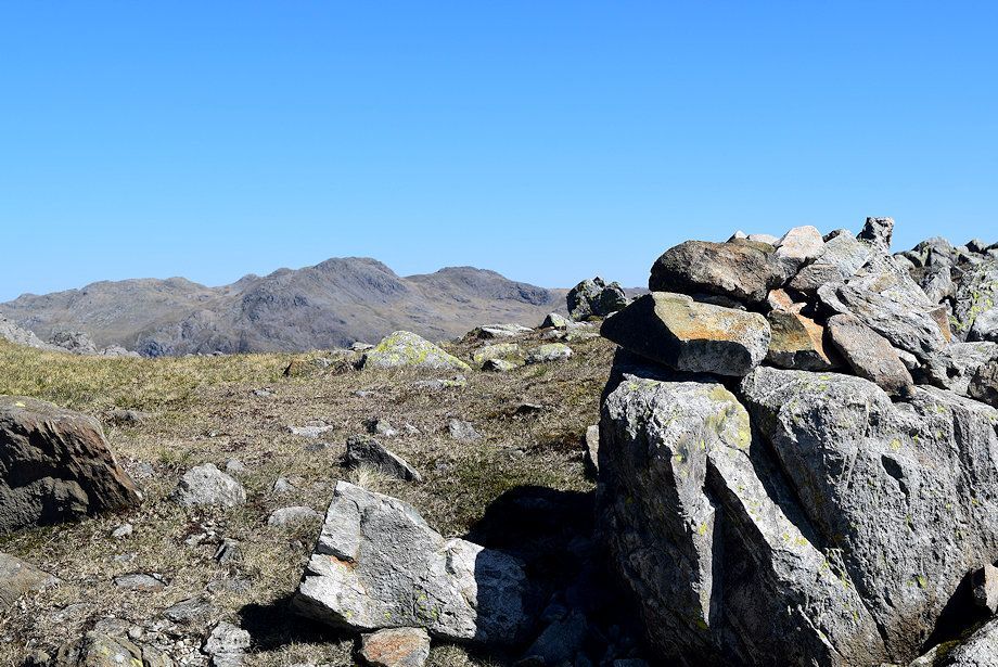
| The summit cairn on Raven Crag |
 |
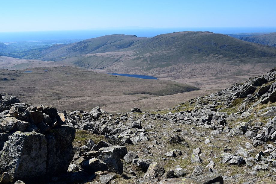
| Burnmoor Tarn and Illgill Head from the summit of Raven Crag |
 |
| Scafell and Slight Side from the summit of Raven Crag |
 |
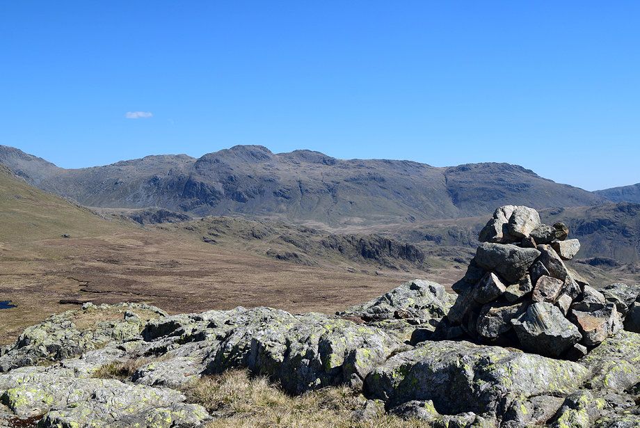
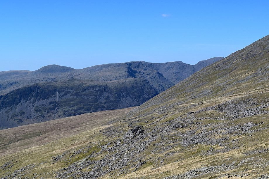
| Crinkle Crags and the summit of Great How from Raven Crag |
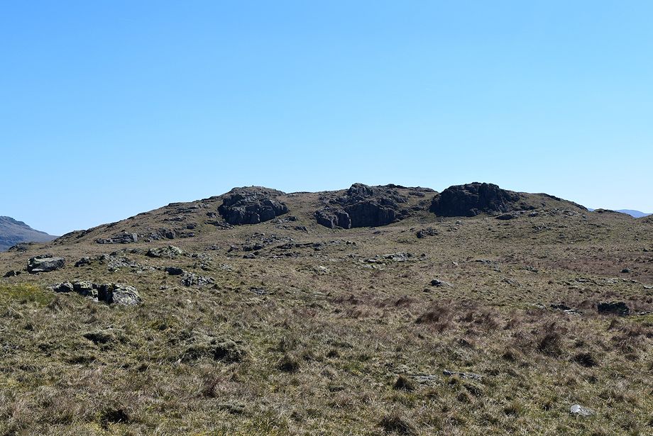 |
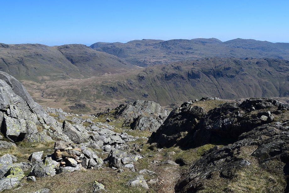
| The summit of Great How lies 300 yards to the east of the cairn on Raven Crag. The highest point lies beyond the crag on the left |
 |
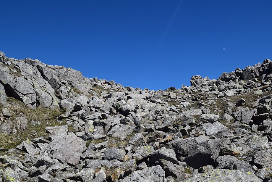
| The three crags defending the summit are easily by-passed on any of the grass ramps which separate them |
 |
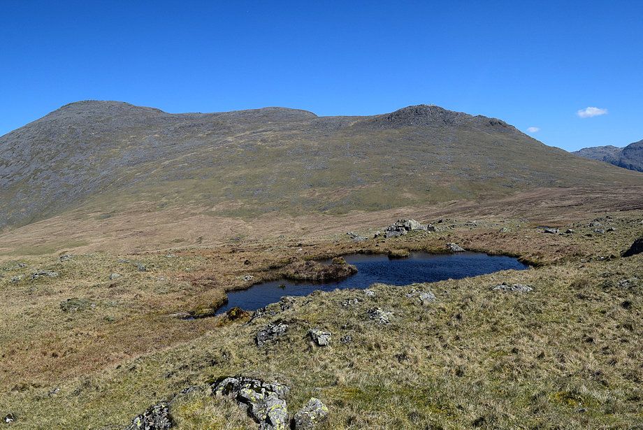
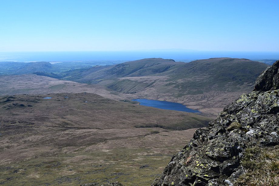
| Haycock, Red Pike and Pillar across the largest of the several tarns on Great How |
 |
| Scafell across the middle crag |
 |
| Approaching the summit of Great How |
 |
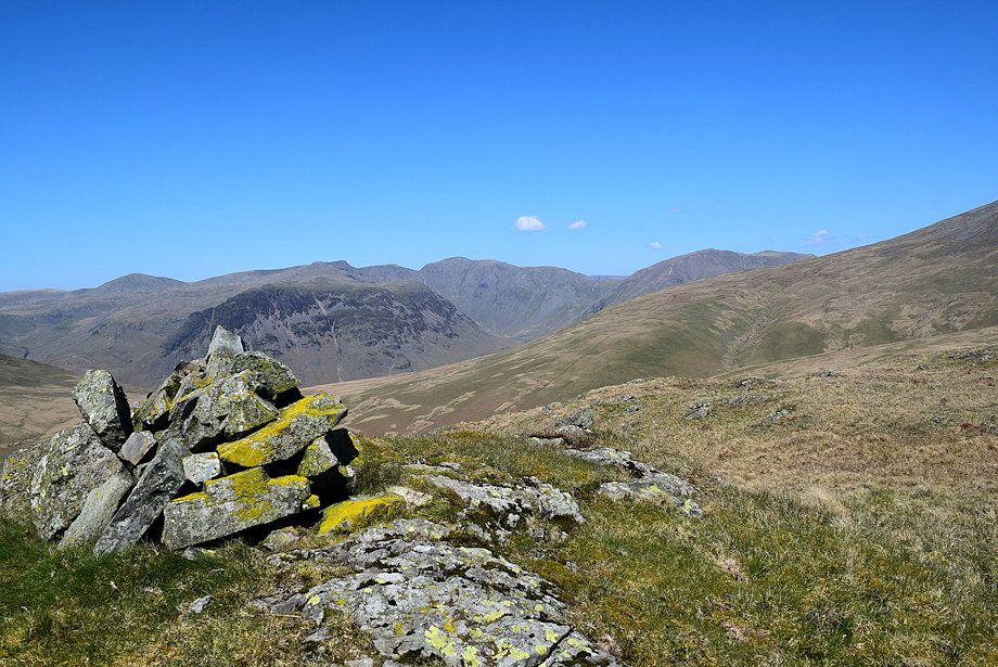
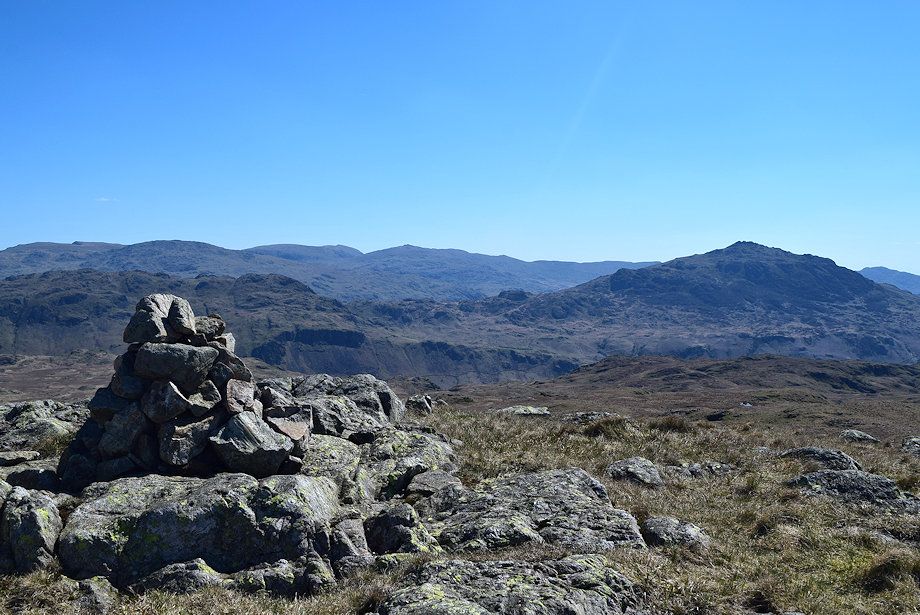
| The summit cairn on Great How looking towards Crinkle Crags |
 |
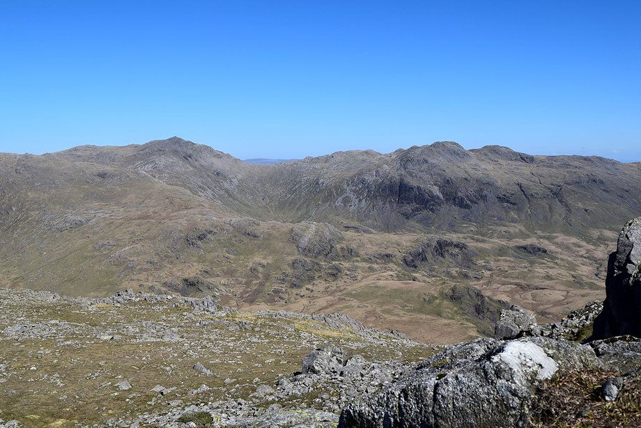
| The Coniston Fells and Harter Fell from the summit of Great How |
 |
| Whin Rigg and Illgill Head from the summit of Great How |
 |
| Haycock, Yewbarrow, Red Pike, Pillar and Kirk Fell from the summit of Great How |
 |
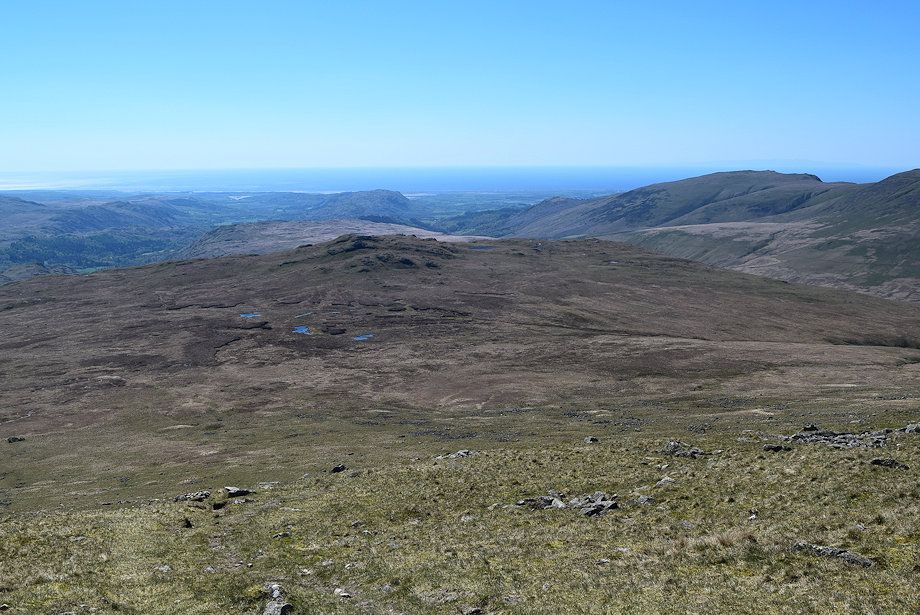
| Slight Side across Quagrigg Moss from the summit of Great How |
 |
| A direct descent of Great How to Quagrigg Moss is hampered by bands of steep rock, it's easier to use a wide grass gully to the south of the summit |
 |
| Slight Side and Bowfell from the grass gully leading down to Quagrigg Moss |
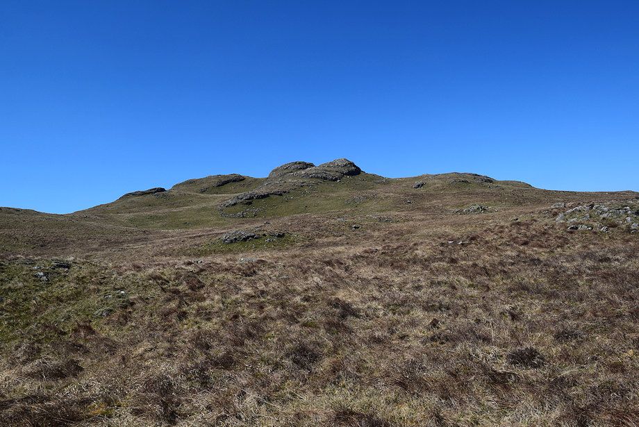 |
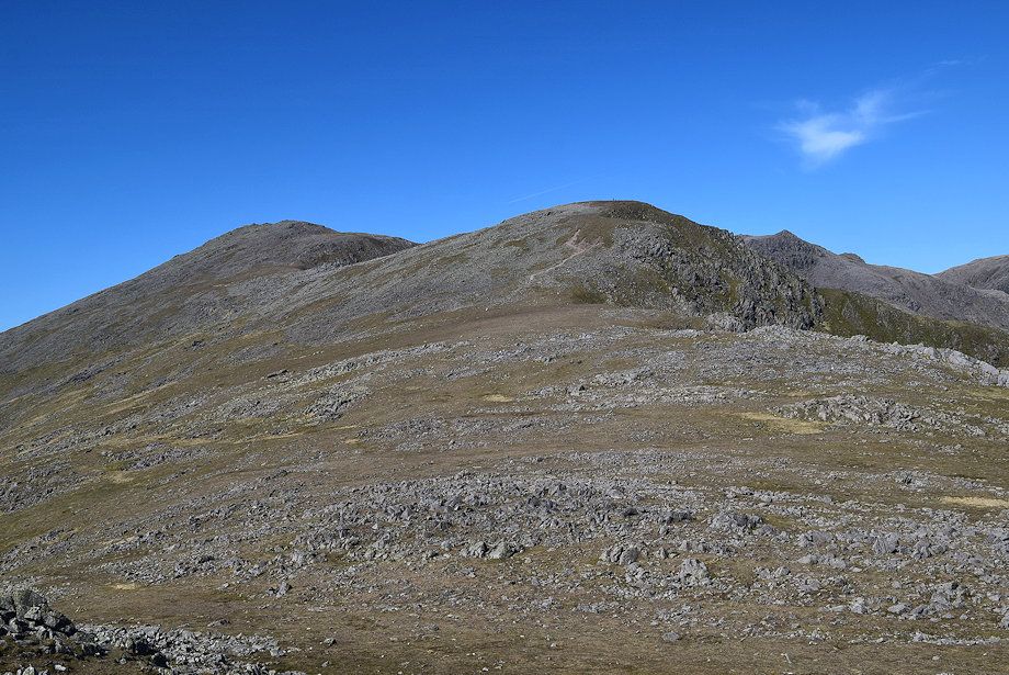
| Looking back to the summit tors of Great How |
 |
| Slight Side from Quagrigg Moss. Despite its name and reputation the traverse across it is not too bad. Keep to the right side of it heading roughly in line with the Three Tarns col between Bowfell and Crinkle Crags, to join a clear path which comes up from Boot in Eskdale via Stony Tarn |
 |
| Slight Side from the Stony Tarn path |
 |
| The Stony Tarn path soon joins the more popular Terrace Route which comes up from Wha House in Eskdale, the two walkers are desending it |
 |
| Slight Side from the junction of the Stony Tarn path with the Terrace Route |
 |
| Looking back along the Terrace Route path |
 |
| Great How, Whin Rigg and Illgill Head from the Terrace Route |
 |
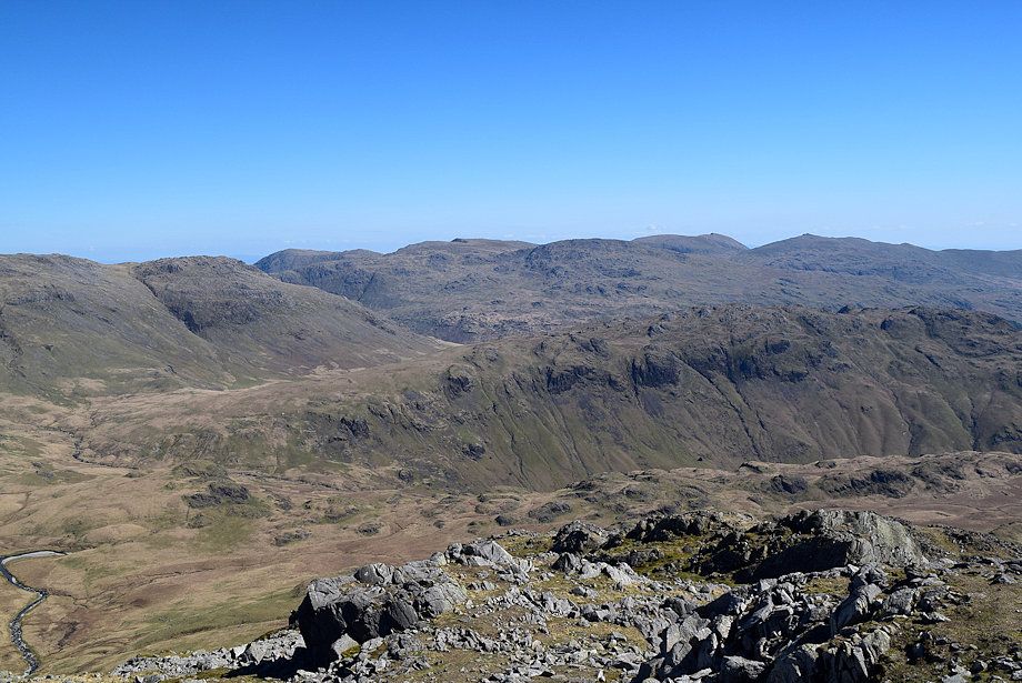
| The Coniston Fells over Hard Knott with Harter Fell on the right from the Terrace Route |
 |
| Looking over towards Whin Rigg, Illgill Head, Middle Fell, Seatallan, Caw Fell and Haycock |
 |
| The path climbs more steeply and becomes stonier higher up before it turns to the right and climbs to a small col between the summit and Horn Crag |
 |
| Looking down on Quagrigg Moss and Great How |
 |
| Climbing up to the col |
 |
| Seatallan, Caw Fell and Haycock from the path to the col |
 |
| Approaching the col between the summit and Horn Crag |
 |
| Crinkle Crags from the col |
 |
| Whin Rigg, Illgill Head and Burnmoor Tarn from the col |
 |
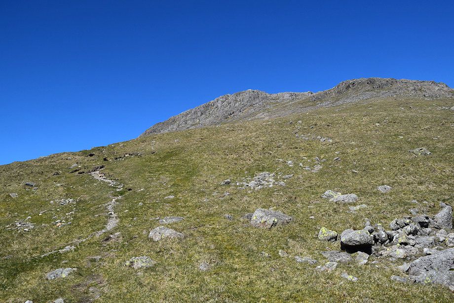
| The summit of Slight Side from the col. A cairned path leads up a gangway between the crags to a rock groove which requires a short but steep scramble. It's much easier to climb the scree slope on the right and reach the summit from the north |
 |
| Looking down the gangway |
 |
| Burnmoor Tarn from the end of the gangway |
 |
| The rock groove and scramble leading up to the summit |
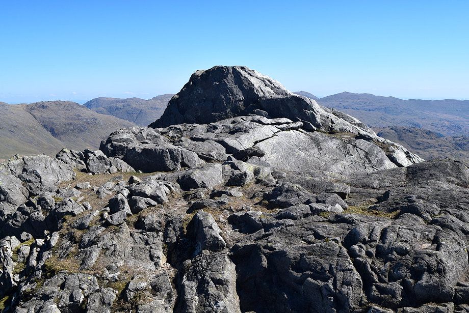 |
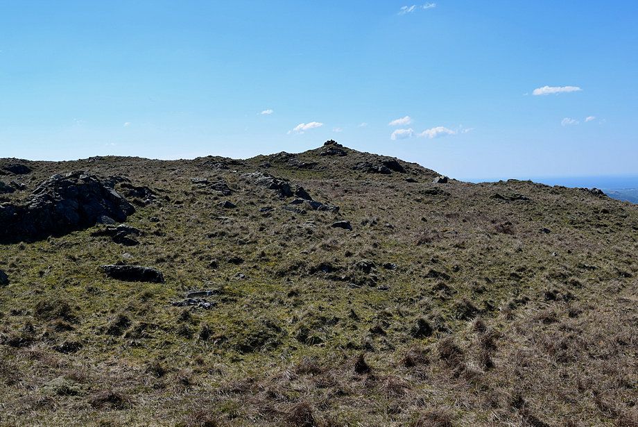
| The summit of Slight Side |
 |
| Seatallan over Middle Fell from the summit of Slight Side |
 |
| Haycock, Scoat Fell and Red Pike over Yewbarrow with Pillar across the slopes of Scafell on the right from the summit of Slight Side |
 |
| Scafell and Long Green from the summit of Slight Side |
 |
| Esk Pike and Bowfell from the summit of Slight Side |
 |
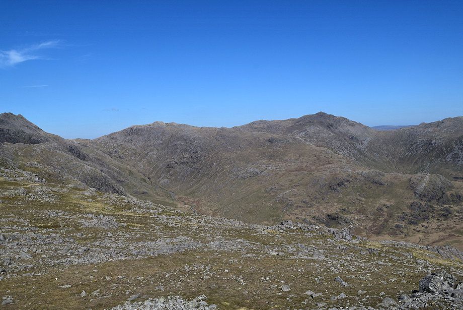
| Bowfell and Crinkle Crags from the summit of Slight Side |
 |
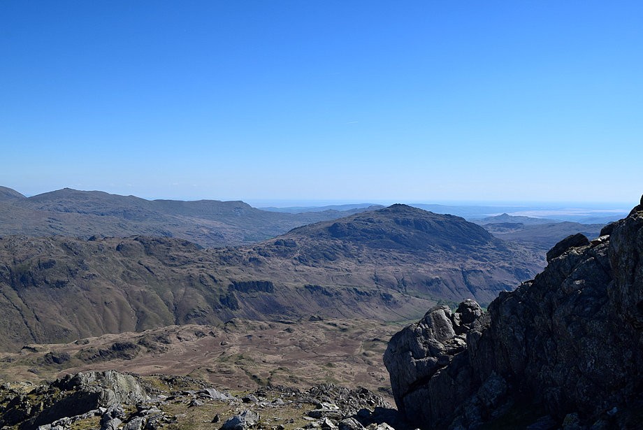
| The Coniston Fells over Hard Knott from the summit of Slight Side |
 |
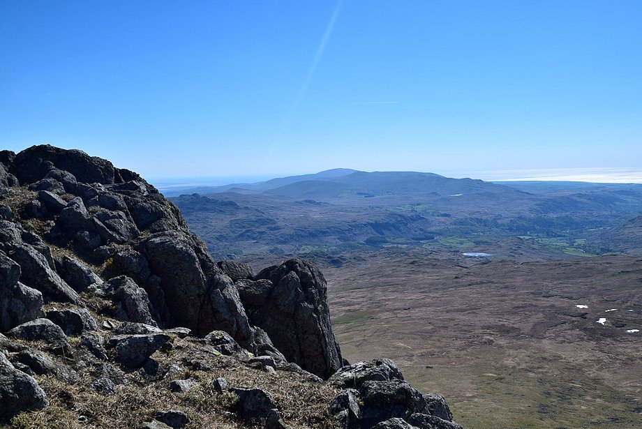
| Harter Fell from the summit of Slight Side |
 |
| Black Combe and Whit Fell from the summit of Slight Side |
 |
| Great How across Quagrigg Moss from the summit of Slight Side |
 |
| Burnmoor Tarn from the summit of Slight Side |
