 |
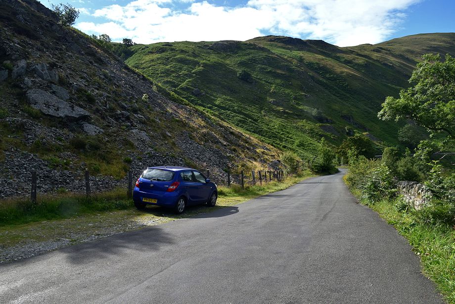
| The long lay-by below Mardale Banks is the starting point for this walk |
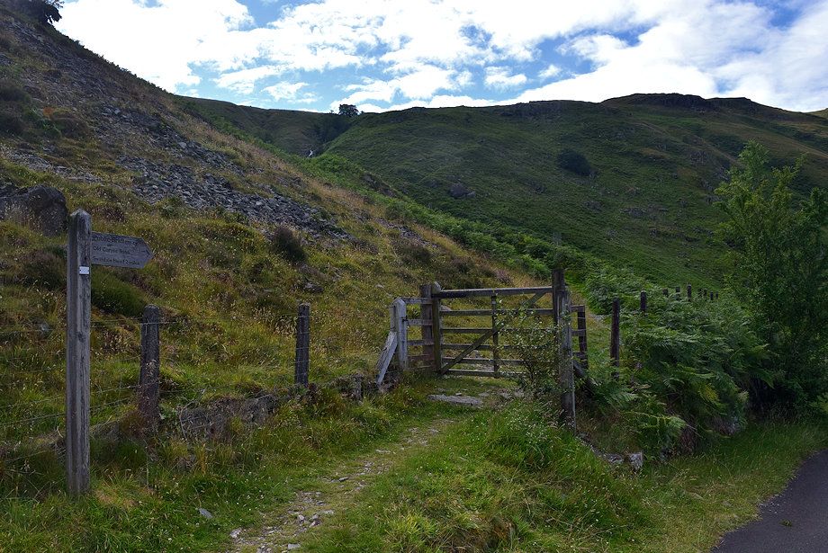 |
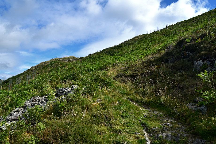
| A short distance to the south of the lay-by a signpost indicates the start of the Old Corpse Road |
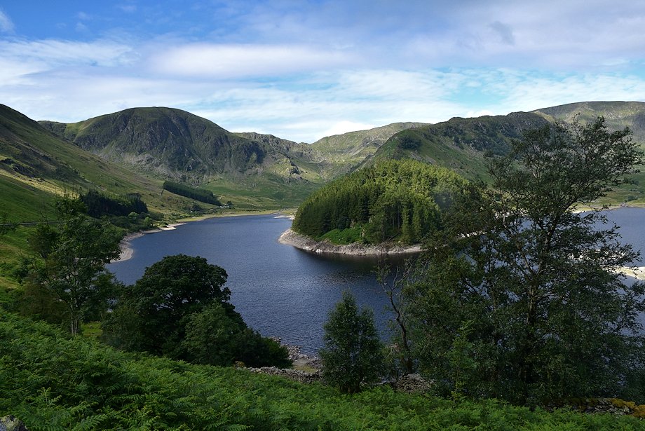 |
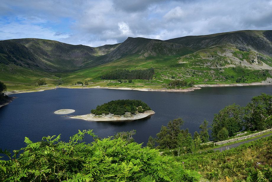
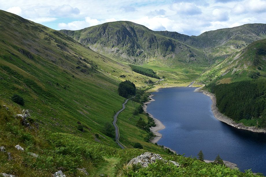
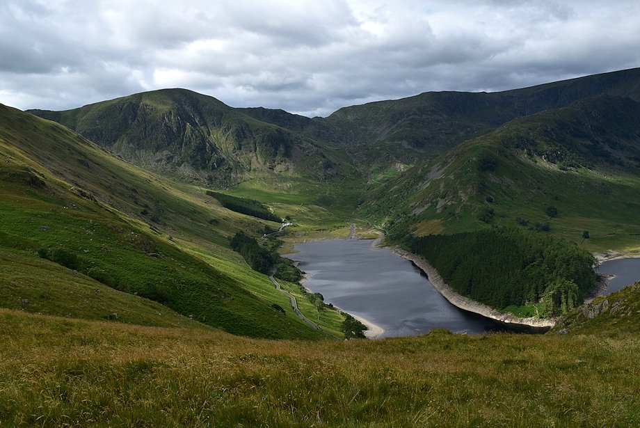
| Haweswater from the start of the Old Corpse Road |
 |
| The Old Corpse Road was used to carry the dead of the hamlet of Mardale Green and its outlying farms to be buried in consecrated ground at Shap |
 |
| Kidsty Pike across Haweswater from the Old Corpse Road |
 |
| Branstree and Harter Fell from the Old Corpse Road |
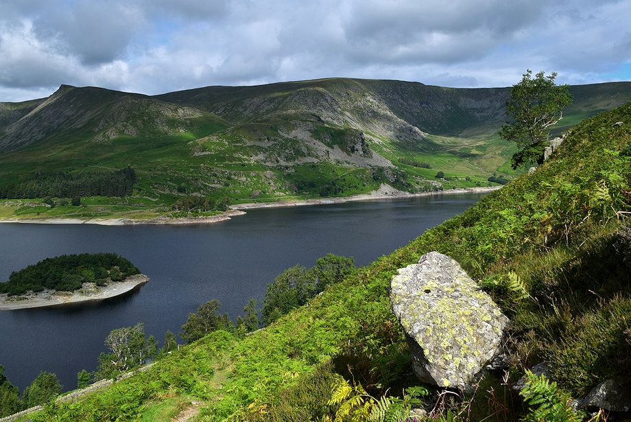 |
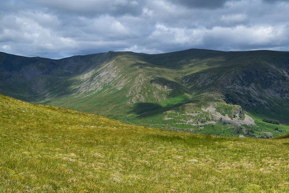
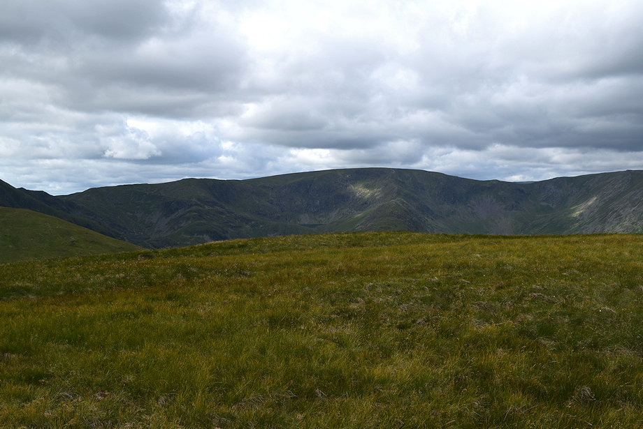
| Kidsty Pike, High Raise and Low Raise across Haweswater |
 |
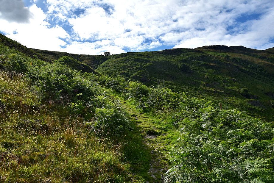
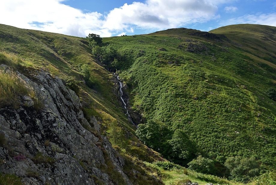
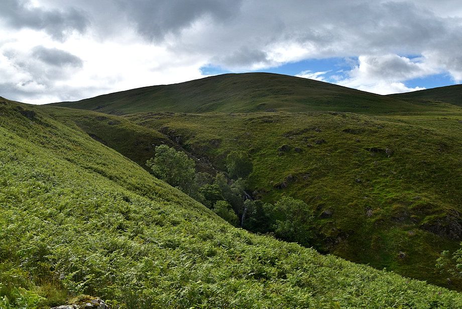
| Hopgill ravine from the Old Corpse Road |
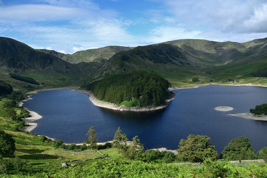 |
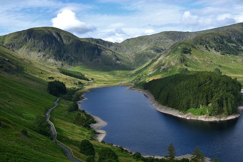
| Looking down on The Rigg from the Old Corpse Road |
 |
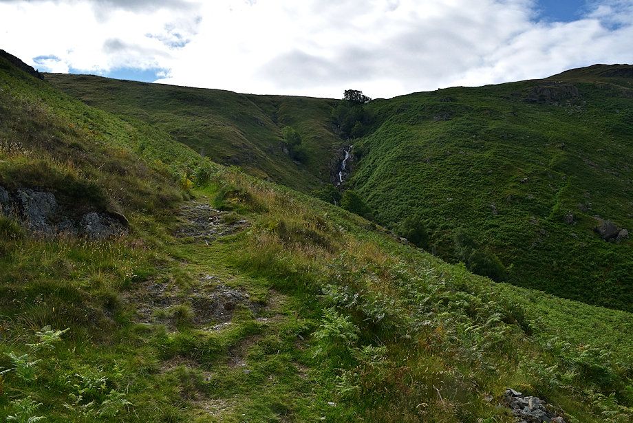
| The Old Corpse Road rises zig-zagging steeply beside the deep ravine of Rowantreethwaite Beck, gaining almost 500 feet in a third of a mile, it is the steepest part of the whole walk |
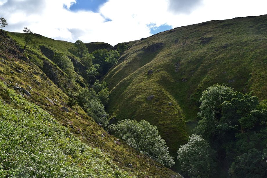 |
| Rowantreethwaite Beck ravine |
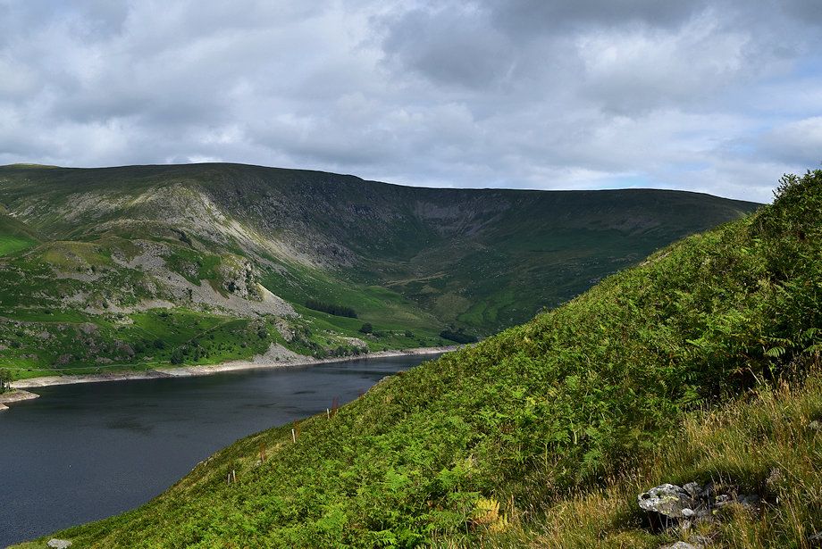 |
| Looking over towards Whelter Crags on Low Raise |
 |
| The head of Mardale from the Old Corpse Road |
 |
| The Old Corpse Road climbs up to Resting Howe where tradition has it that the funeral corteges stopped for a final view back to Mardale Green |
 |
| Hopgill ravine and the north ridge of Branstree |
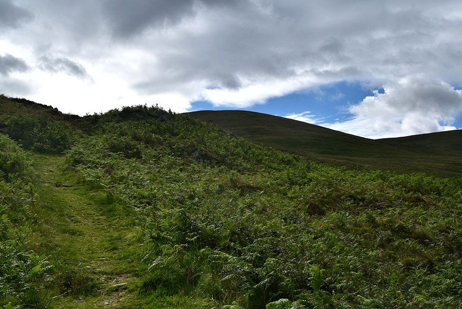 |
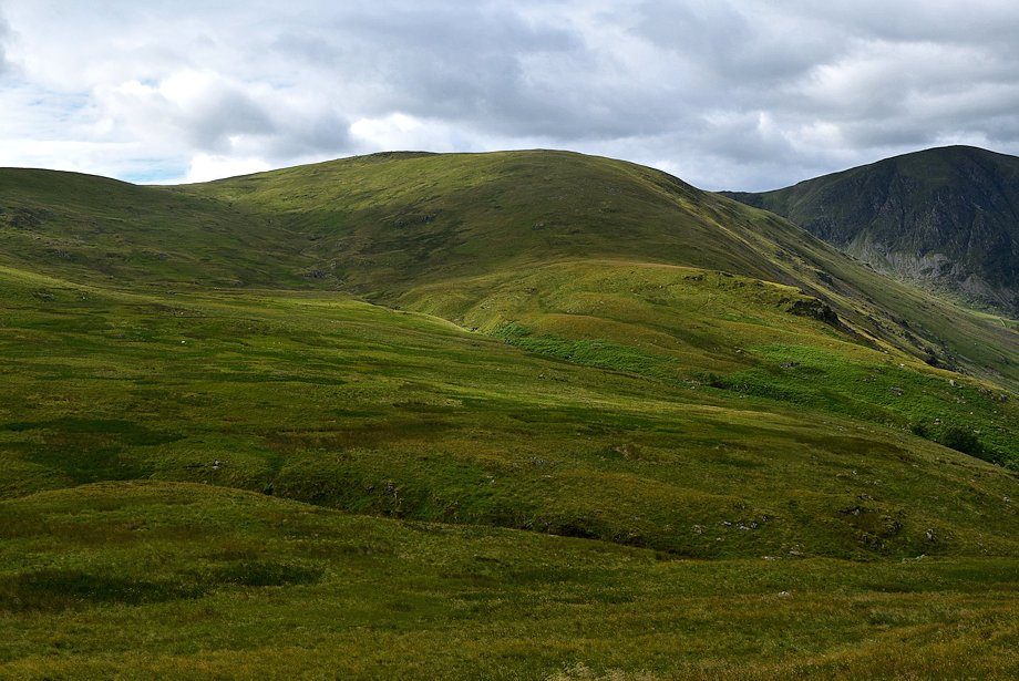
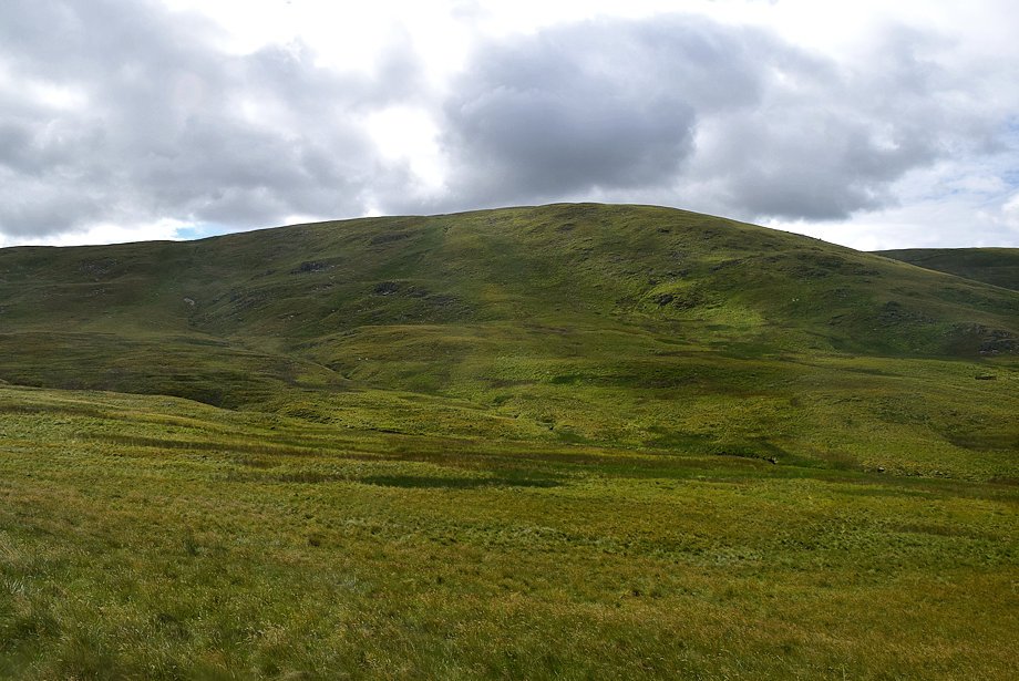
| The summit of Selside Pike comes into view |
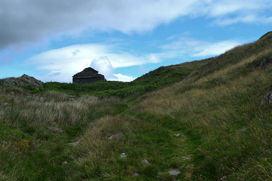 |
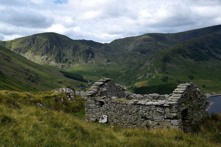
| Approaching Resting Howe where there is a viewpoint cairn set on a rock outcrop and two ruined huts which were used for storing peat turves while they dried out |
 |
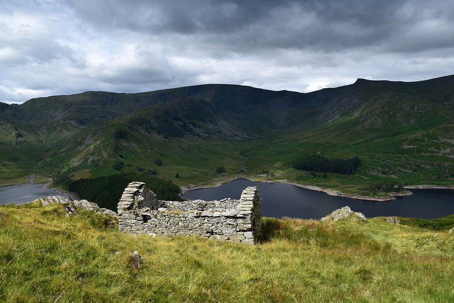
| Mardale Head from just below Resting Howe |
 |
| Selside Pike from Resting Howe |
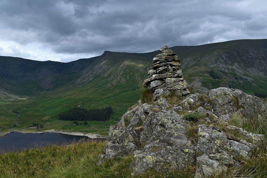 |
| Kidsty Pike from the viewpoint cairn on Resting Howe |
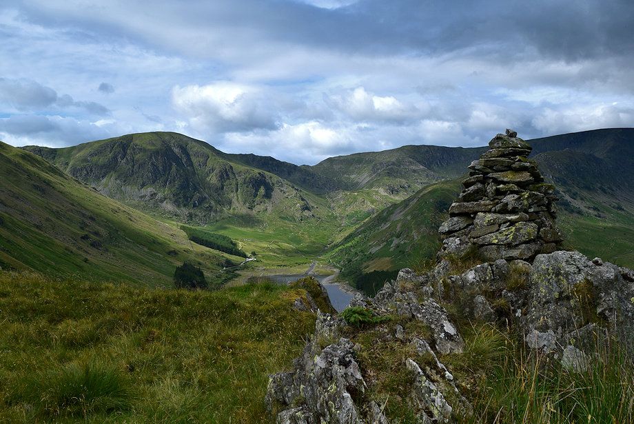 |
| The head of Mardale from the viewpoint cairn on Resting Howe |
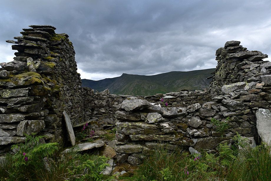 |
| Kidsty Pike from the lower ruined hut on Resting Howe |
 |
| Branstree from the lower ruined hut |
 |
| The upper ruined hut on Resting Howe |
 |
| The north ridge of Branstree from the upper ruined hut |
 |
| From Resting Howe the Old Corpse Road climbs more gently across Mardale Common bound for Swindale Head. Selside End, the route of ascent, can be seen on the right |
 |
| Looking back to the upper ruined hut on Resting Howe |
 |
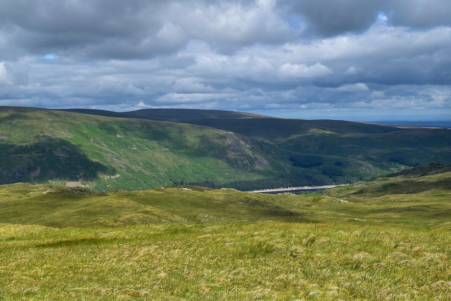
| Looking over to Branstree and Harter Fell |
 |
| Looking back to the head of Haweswater from the Old Corpse Road |
 |
| The Old Corpse Road passes below the minor tops of Brown Howe, Rowantreethwaite Cairn and Ritchie Crag on the left |
 |
| Selside Pike from Rowantreethwaite Well |
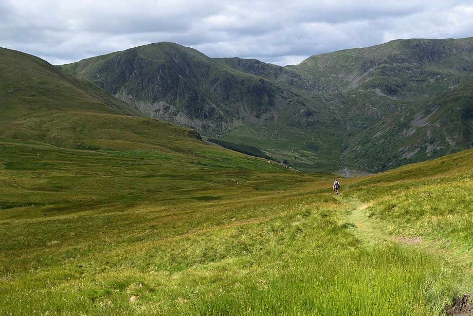 |
| A walker descending the Old Corpse Road to Mardale Head |
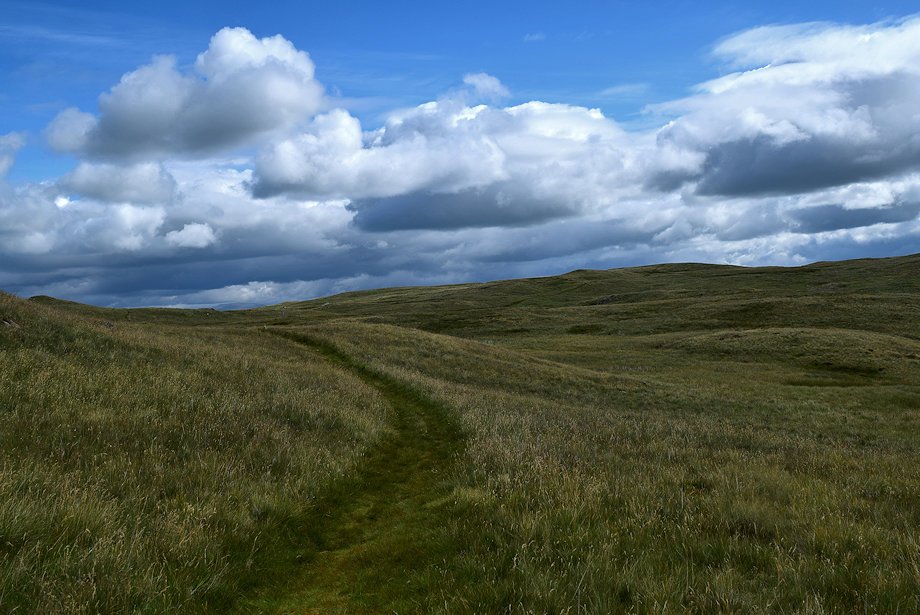 |
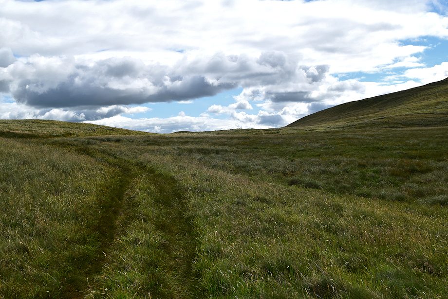
| Beyond Rowantreethaite Well there is a long section of fairly level walking |
 |
| The steep prow of Kidsty Pike over Rowantreethwaite Cairn |
 |
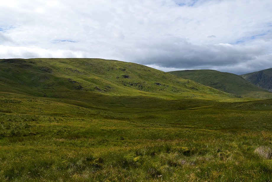
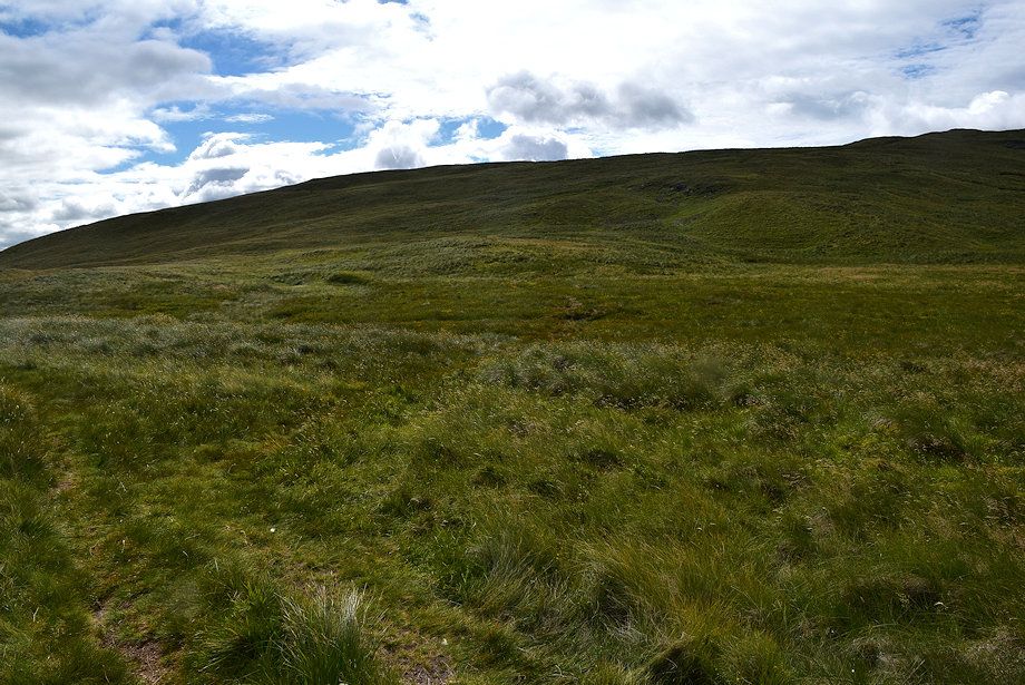
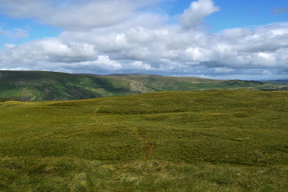
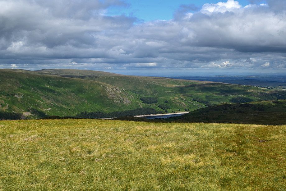
| Selside End from the Old Corpse Road as it passes to the left of a bog before rising slightly to reach its highest point |
 |
| Looking back towards Harter Fell from the bog |
 |
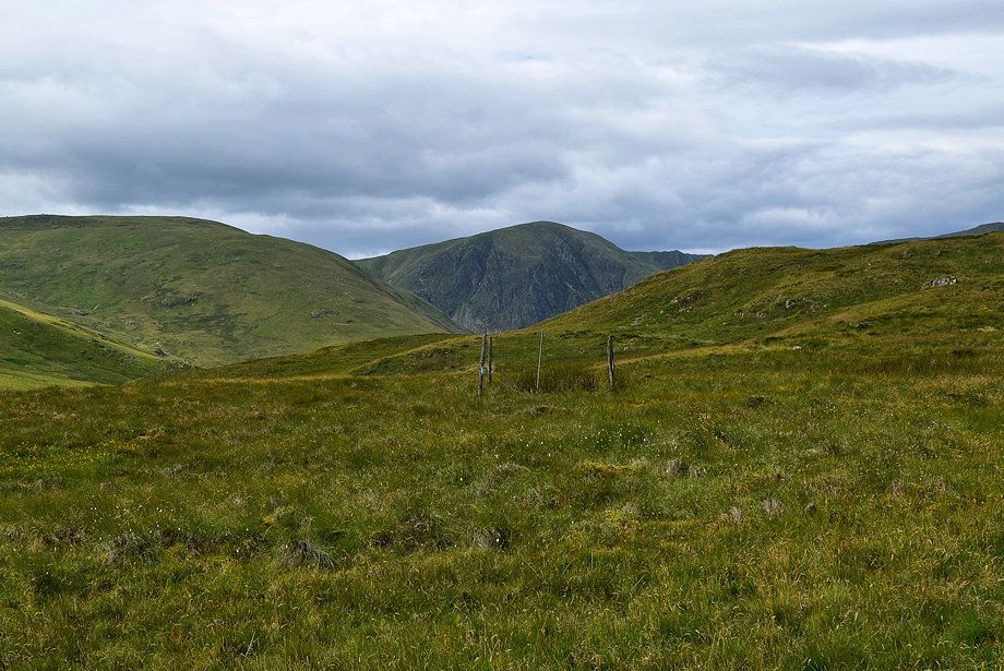
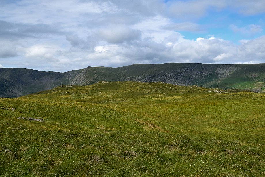
| Selside Pike and Branstree |
 |
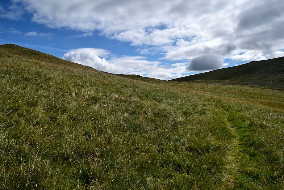
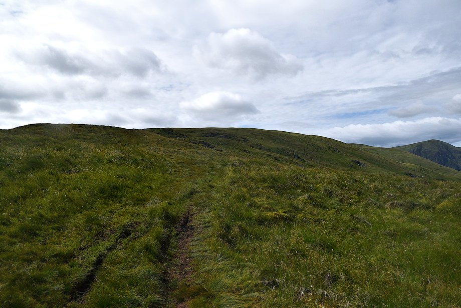
| Approaching the highest point of the Old Corpse Road |
 |
| Kidsty Pike, High Raise and Low Raise over Ritchie Crag |
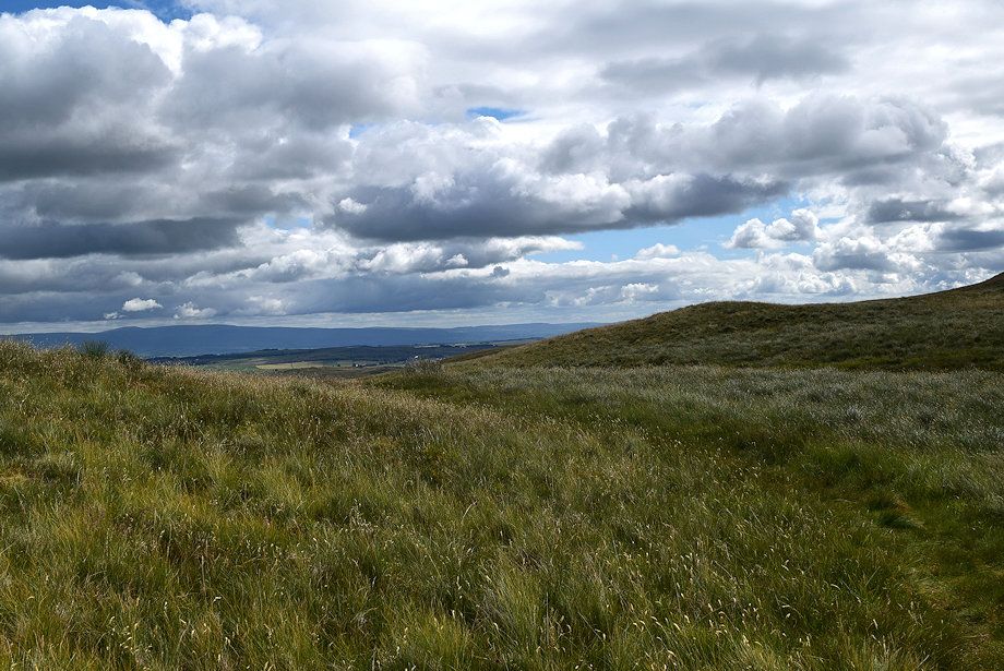 |
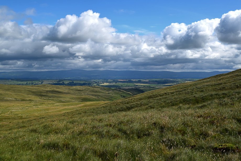
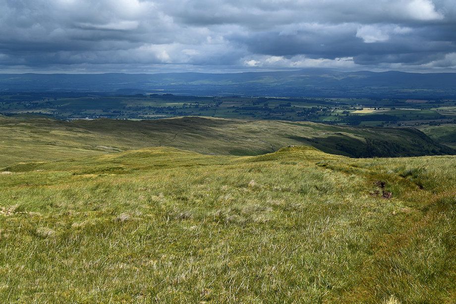
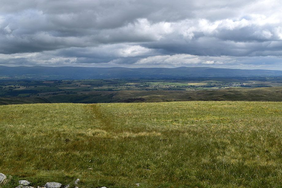
| The Pennines come into view as the Old Corpse Road reaches the highest point before beginning its descent to Swindale Head |
 |
| From the highest point of the Old Corpse Road an indistinct path turns off to climb the slopes of High Birkin Knott to gain the Selside End ridge |
 |
| Looking back to the highest point of the Old Corpse Road |
 |
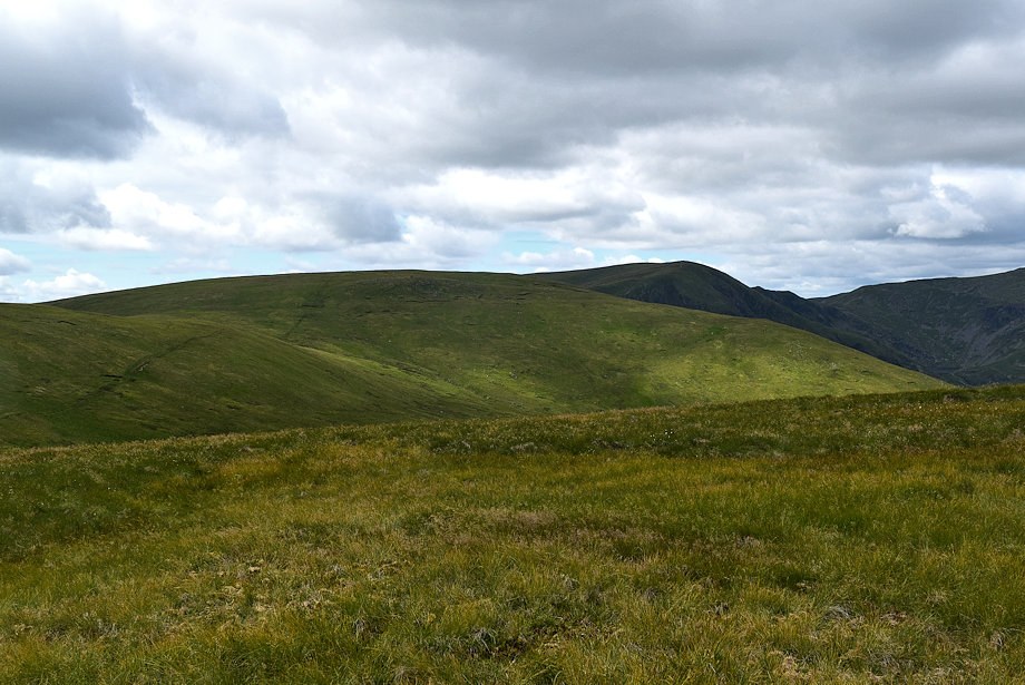
| Selside Pike from the slopes of High Birkin Knott |
 |
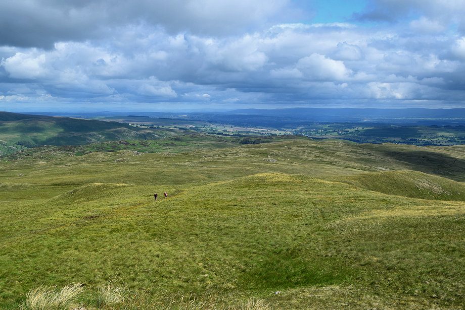
| Measand End and Loadpot Hill from the lower slopes of High Birkin Knott |
 |
| Kidsty Pike, High Raise and Low Raise over Ritchie Crag |
 |
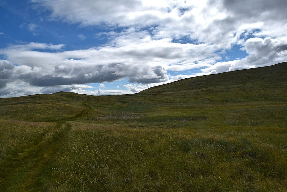
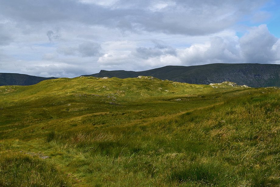
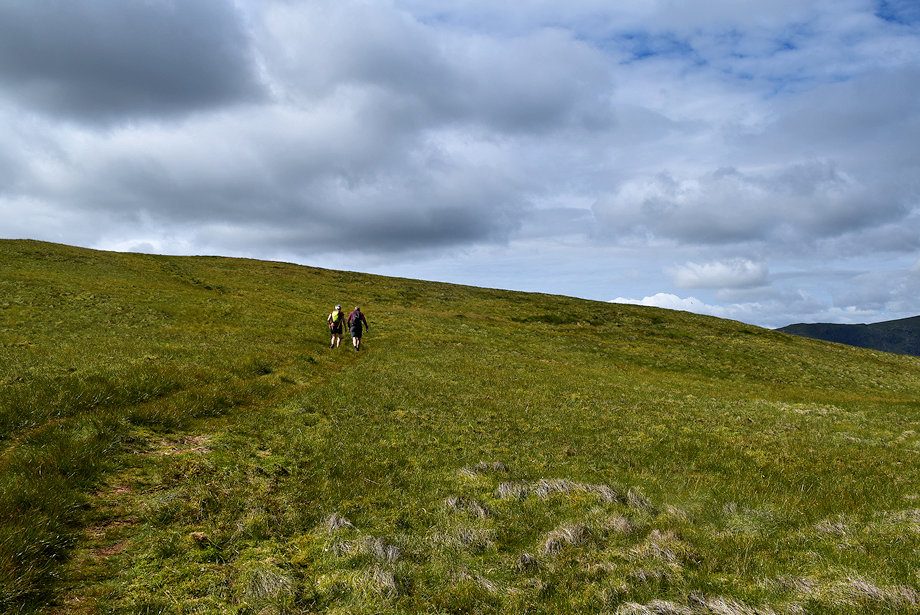
| The path becomes much clearer as it approaches Selside End |
 |
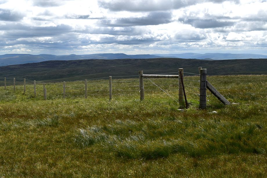
| The Pennines from the climb to Selside End |
 |
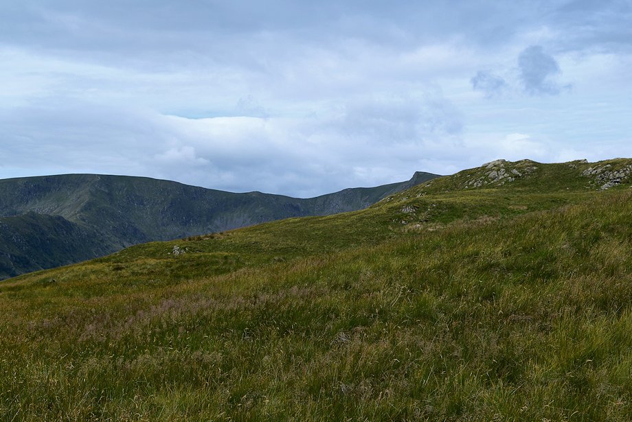
| Kidsty Pike, Rampsgill Head, High Raise and Low Raise from the climb to Selside End |
 |
| Looking back along Selside End |
 |
| The prominent knoll of Low Blake Dodd on the Selside End ridge, seen here on the left, provides a fine viewpoint over Swindale |
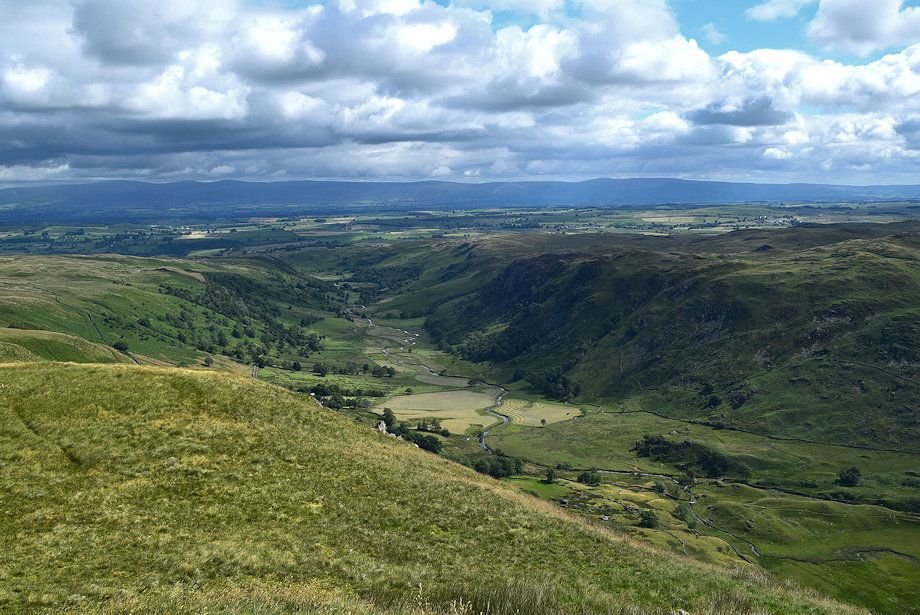 |
| Swindale from Low Blake Dodd |
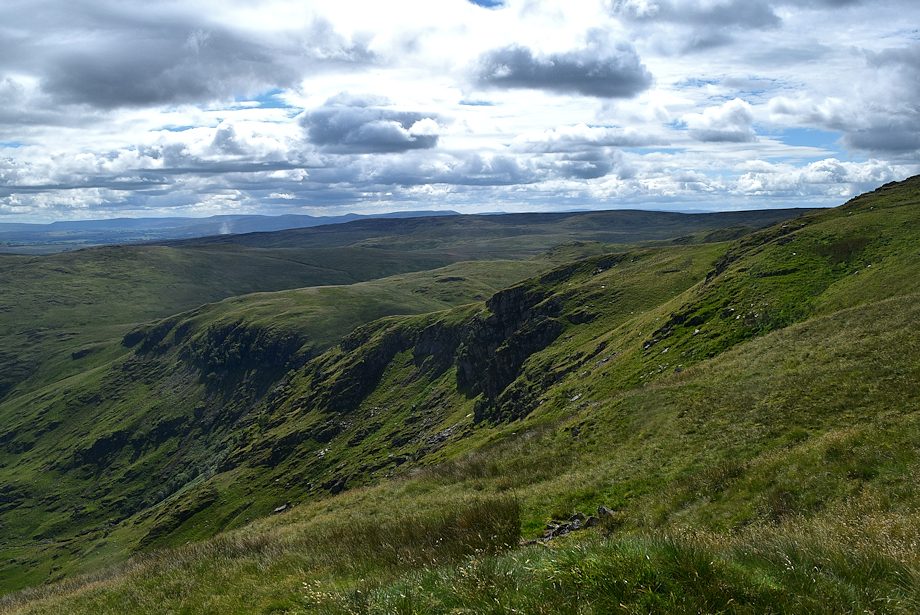 |
| The crags at the head of Swindale from Low Blake Dodd |
 |
| The path continuing along the Selside End ridge from Low Blake Dodd |
 |
| Looking back, a small section of Haweswater is visible below Measand End |
 |
| Looking over to Castle Crag, the site of an Iron Age fort, surrounded by its 'moat' of Scree |
 |
| Looking back to Low Blake Dodd |
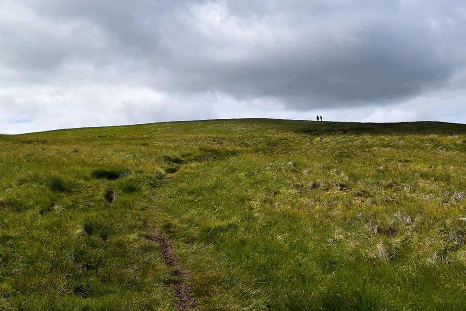 |
| Approaching the summit of Selside Pike |
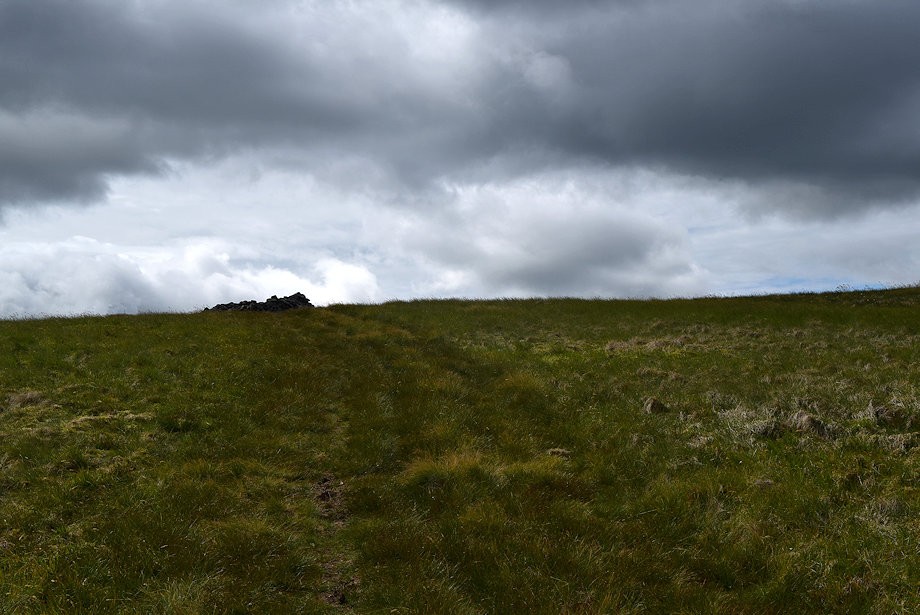 |
| The summit cairn comes into view |
 |
| Approaching the summit of Selside Pike |
 |
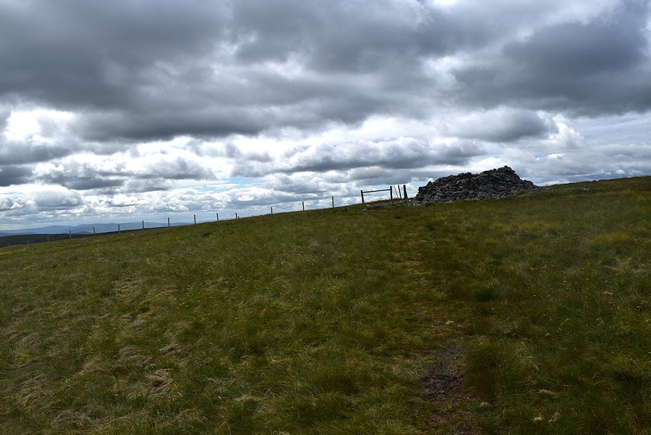
| The summt cairn on Selside Pike is an early Bronze Age Round Cairn and is a Scheduled Ancient Monument |
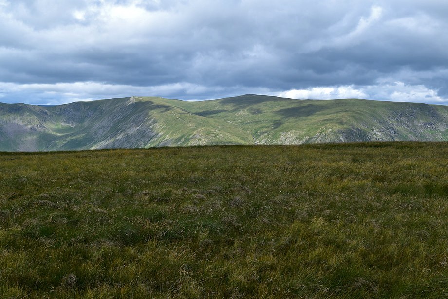 |
| Kidsty Pike, Rampsgill Head, High Raise and Low Raise from the summit of Selside Pike |
 |
| Wether Hill and Loadpot Hill over Measand End from the summit of Selside Pike |
 |
| The Pennines from the summit of Selside Pike |
 |
| The Howgills from the summit of Selside Pike |
 |
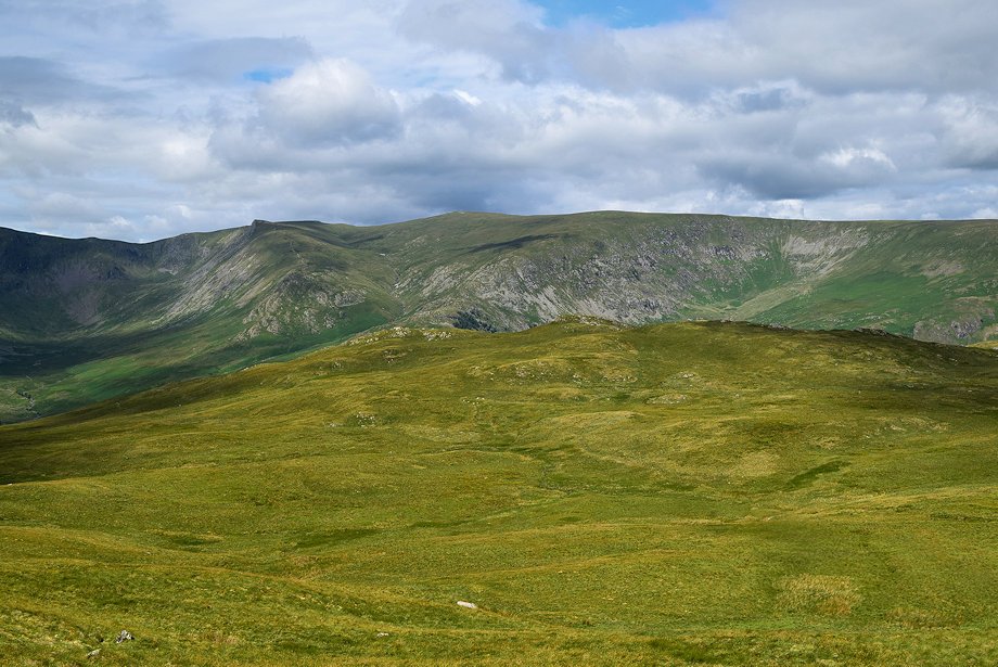
| Branstree and Harter Fell from the summit of Selside Pike |
 |
| Mardale Ill Bell and High Street from the summit of Selside Pike |
| |
