
| Scoat Fell - Route One |
| Start - Netherbeck Bridge NY 161 065 | Distance - 4.4 miles | Ascent - 2,790 feet | Time - 3 hours : 05 minutes |
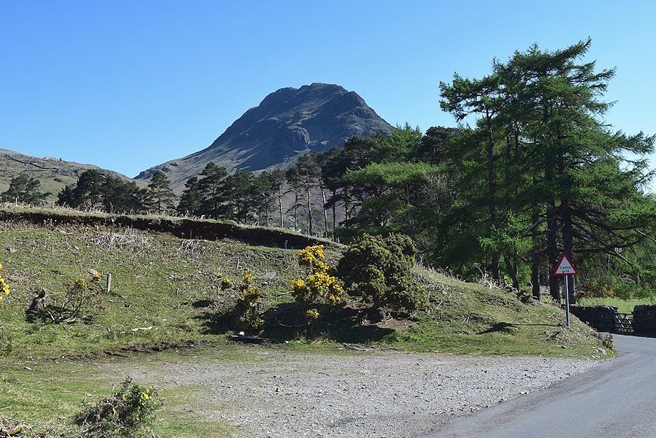 |
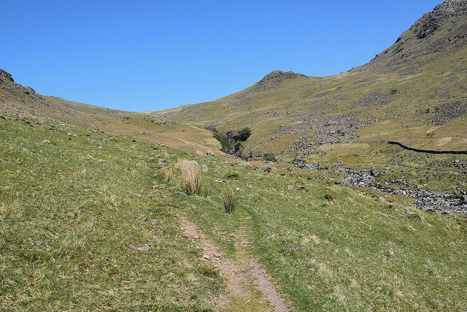
| The walk starts from a lay-by a few yards to the south of Netherbeck Bridge. A path starts from the back of the lay-by, rising gradually to join an ancient bridleway which runs between Wasdale and Ennerdale. The lower part of this path crosses some very wet ground and higher up is choked by bracken in summer. It my be preferable to walk back along the road for a quarter of a mile to the start of the bridleway which is indicated by a fingerpost |
 |
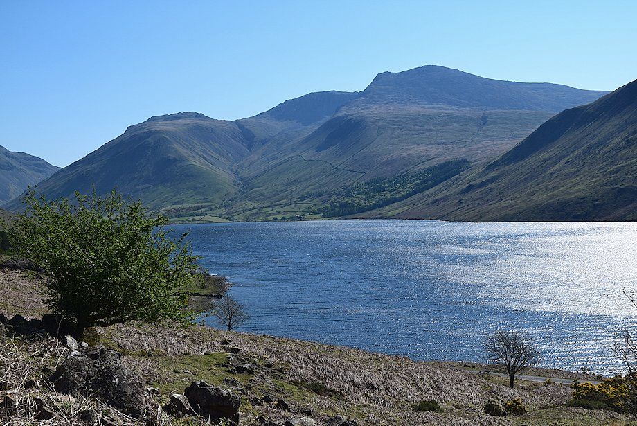
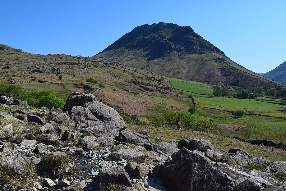
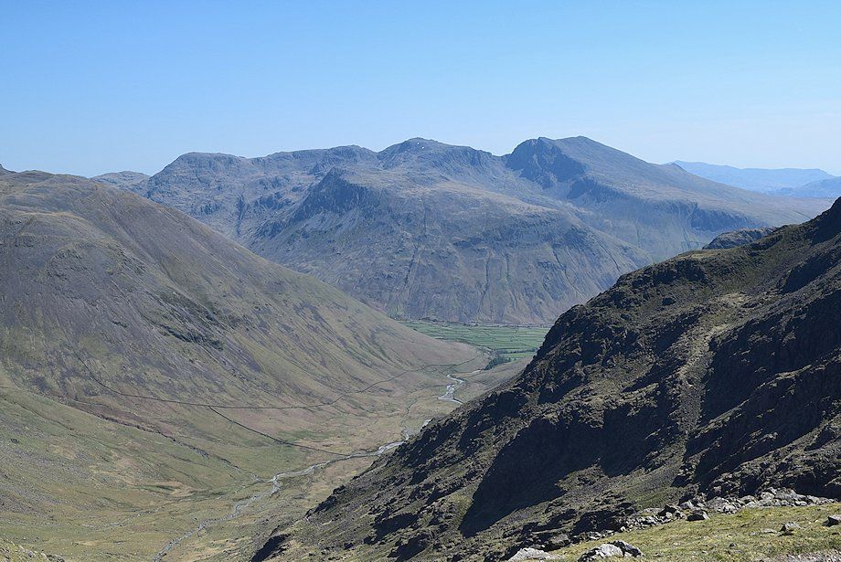
| Yewbarrow, Great Gable and Lingmell from the start of the bridleway |
 |
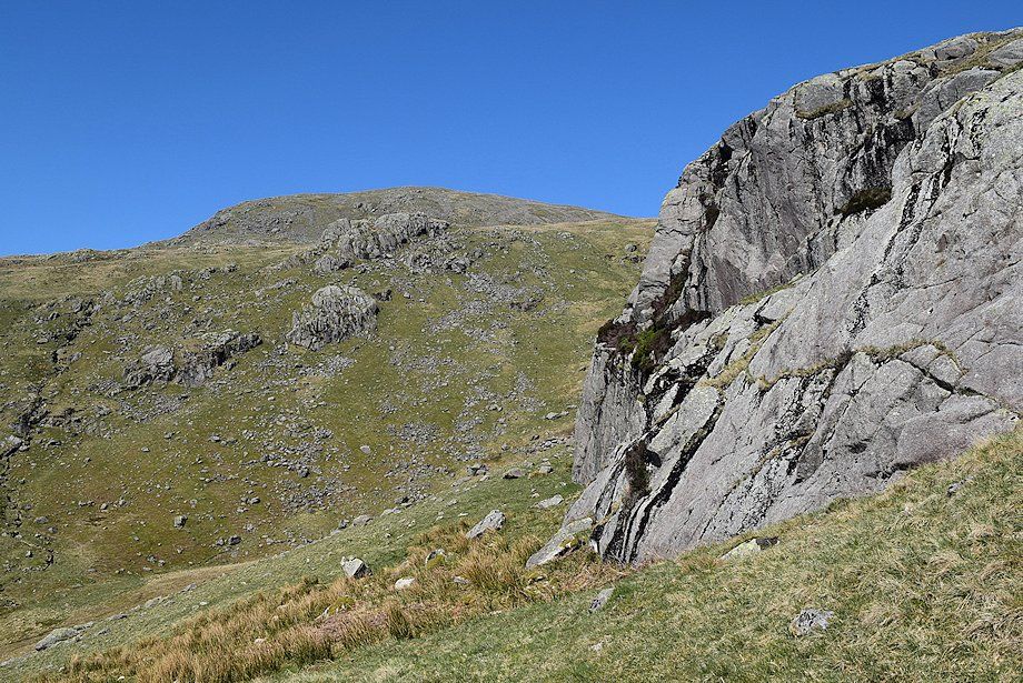
| Goat Crag and Iron Crag on Middle Fell from the start of the bridleway |
 |
| Yewbarrow from the bridleway |
 |
| Lingmell, Scafell Pike and Scafell from the bridleway |
 |
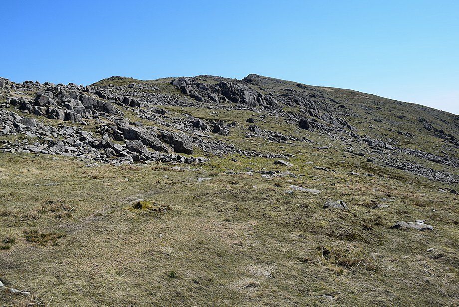
| Looking back to the start of the bridleway |
 |
| Knott Ends from the bridleway |
 |
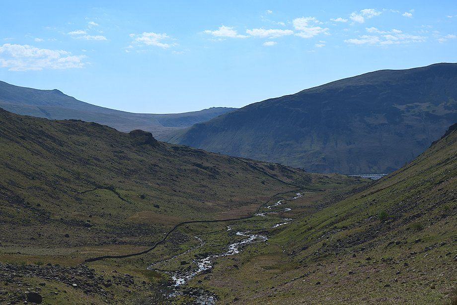
| Looking down on Netherbeck Bridge shrouded by trees, the lay-by parking area can be seen on the lower right |
 |
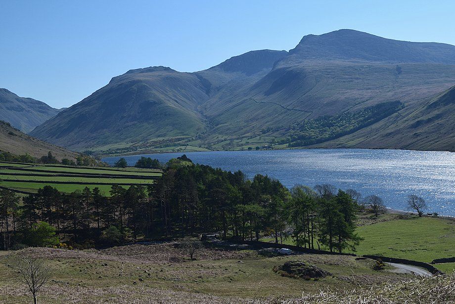
| Yewbarrow across the fields of Bowderdale |
 |
| The path from the lay-by joins the bridleway near the corner of a fence which encloses the lower part of Nether Beck |
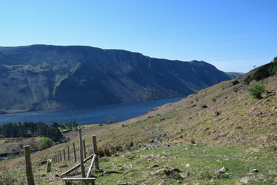 |
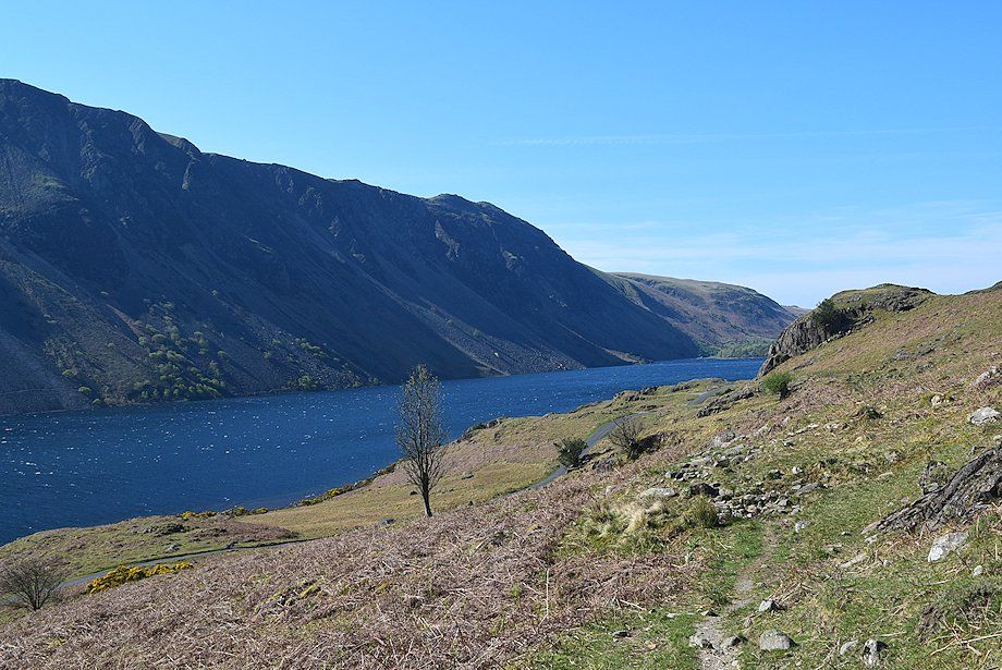
| Looking back to Illgill Head and Whin Rigg above Wast Water |
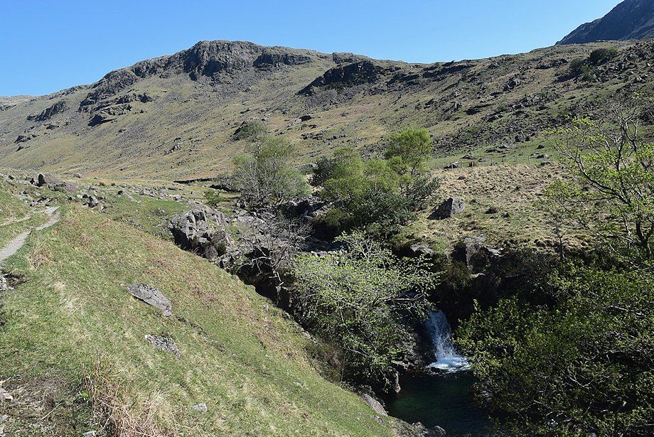 |
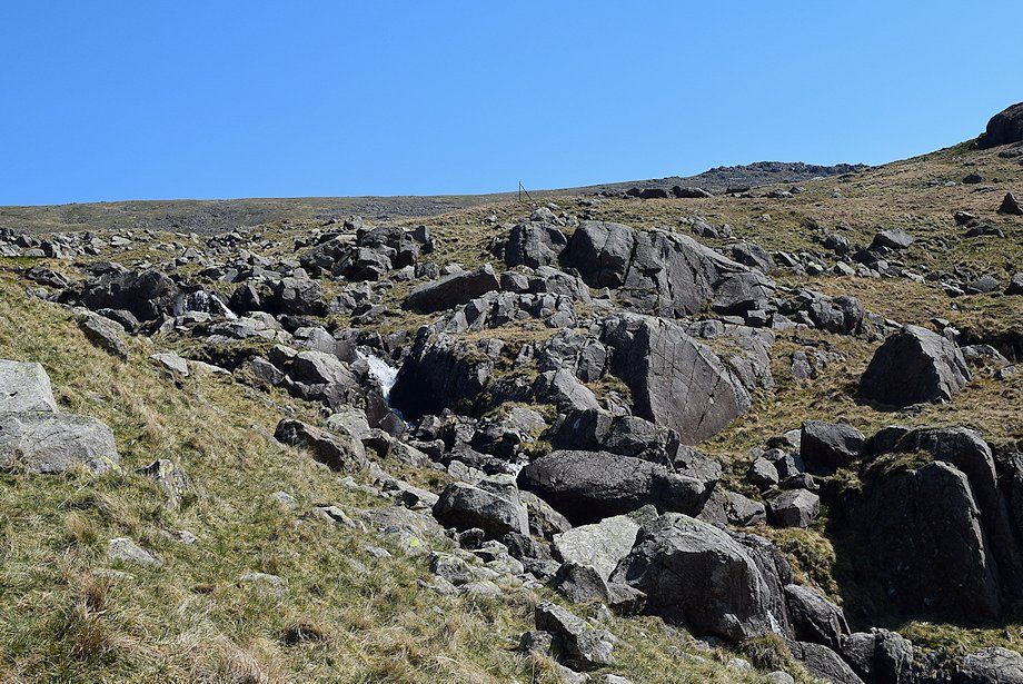
| The bridleway passes a series of waterfalls and pools on the approach to the middle part of the Nether Beck valley |
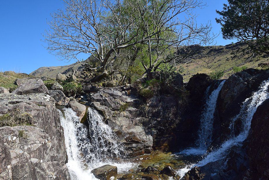 |
| Waterfalls in Nether Beck |
 |
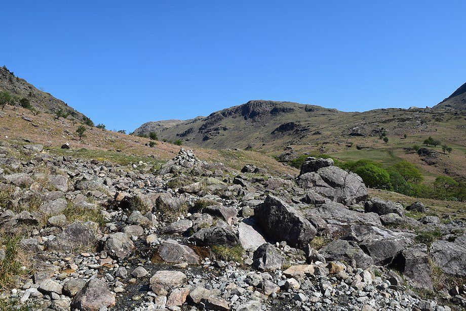
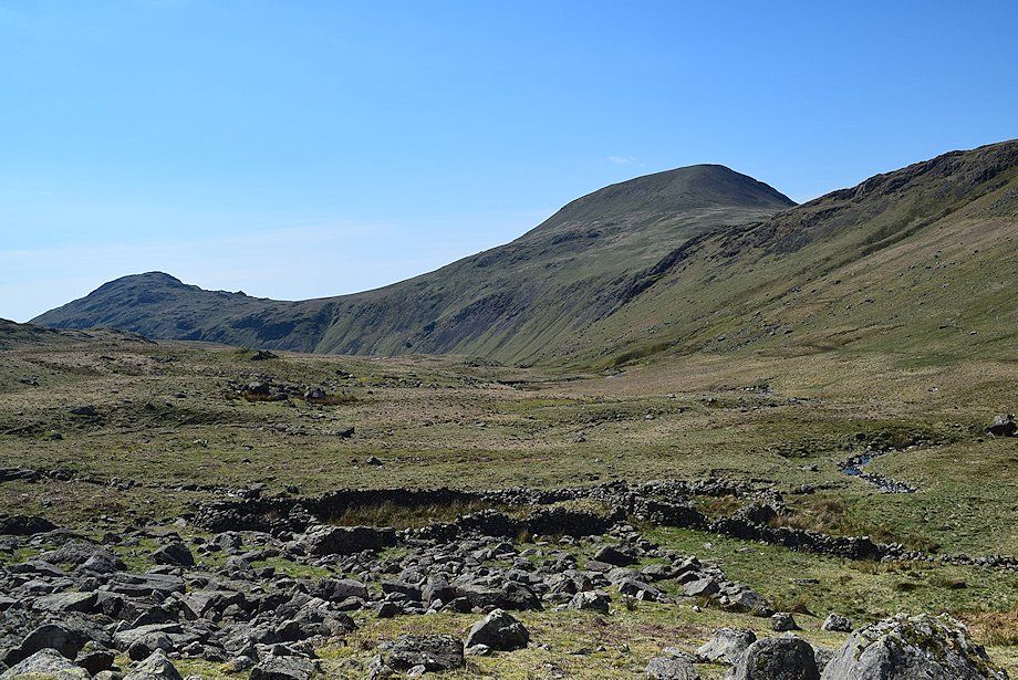
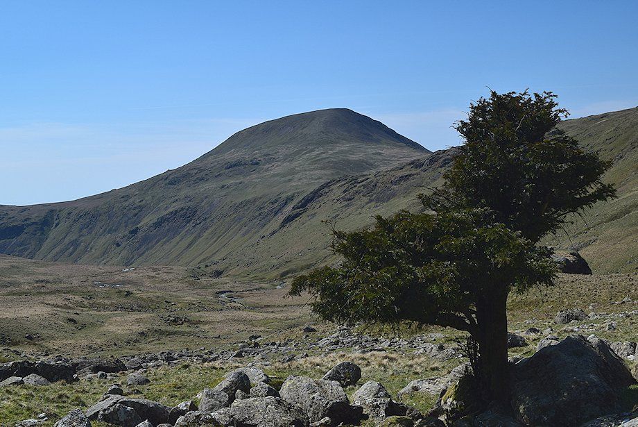
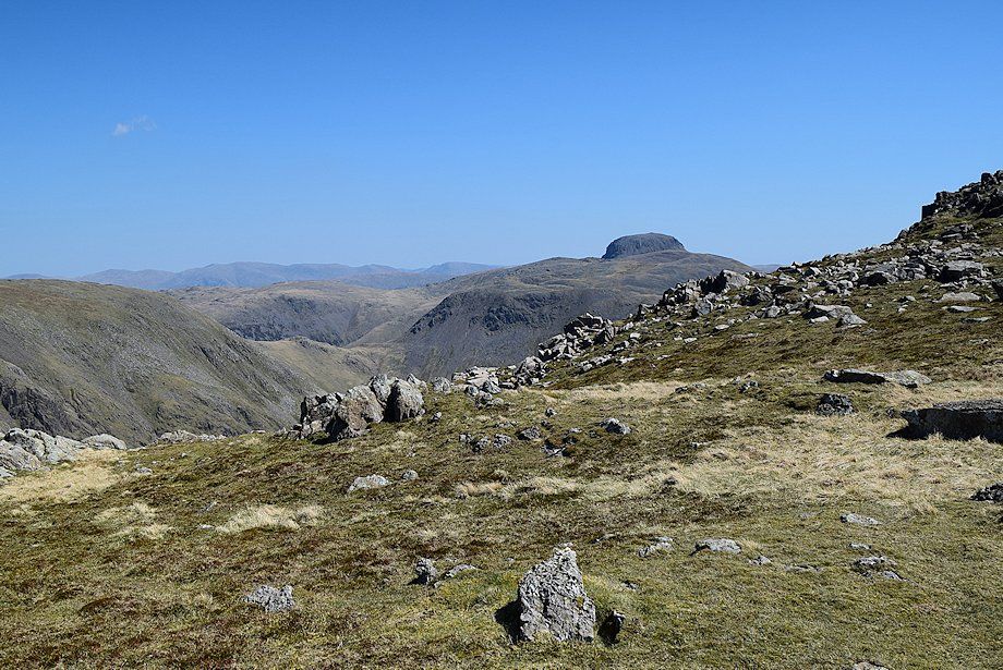
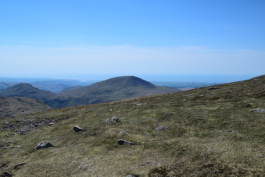
| The summit of Haycock appears on reaching the middle part of the Nether Beck valley |
 |
| Looking back to Illgill Head |
 |
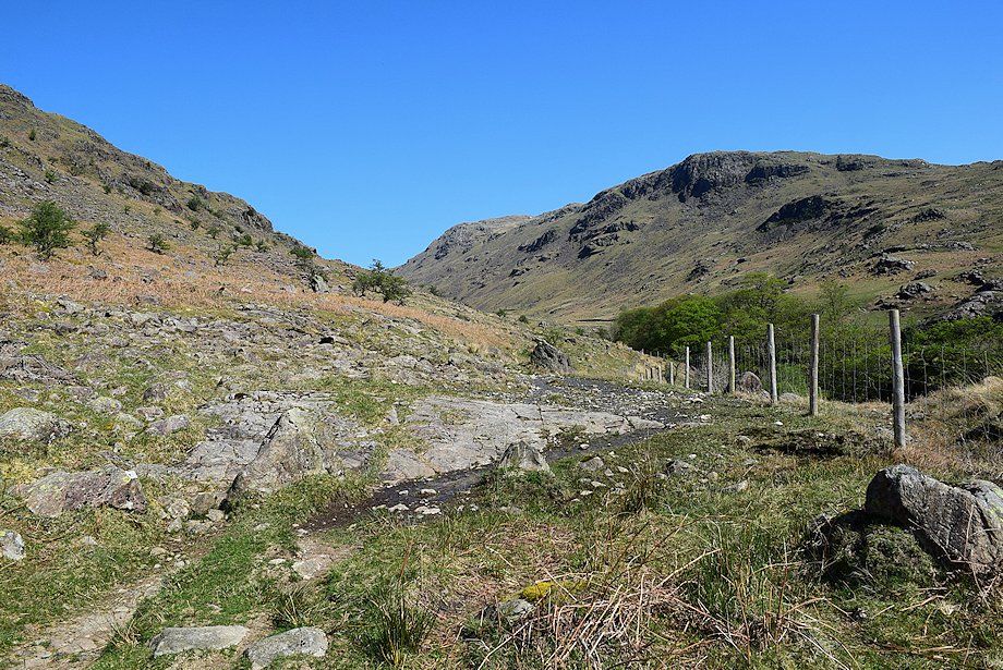
| After a stretch of fairly level walking the bridleway begins to climb more steeply below the distinctive knoll of Stool, passing some more waterfalls in a wooded ravine on the way |
 |
| Looking back along the lower part of the Nether Beck valley |
 |
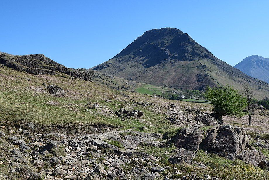
| Great Lad Crag and Haycock from the bridleway below Stool |
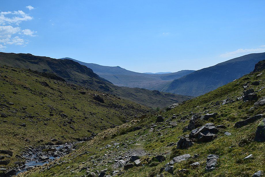 |
| Looking back, the distant summits of the Coniston Fells appear over the col between Slight Side and Great How |
 |
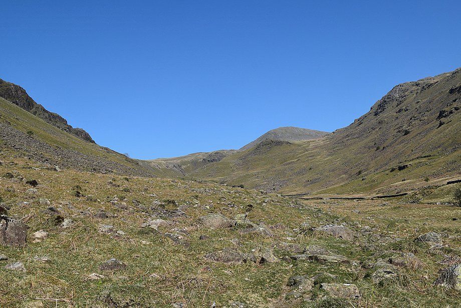
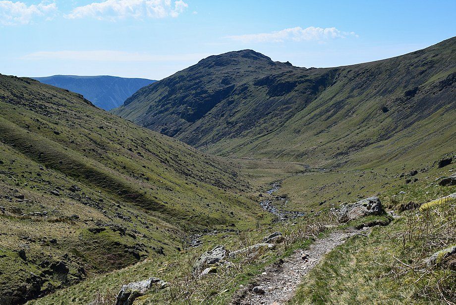
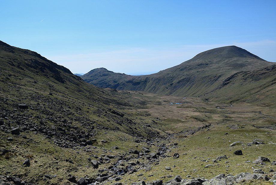
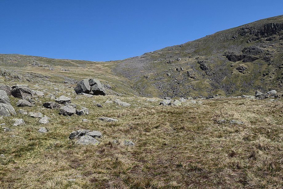
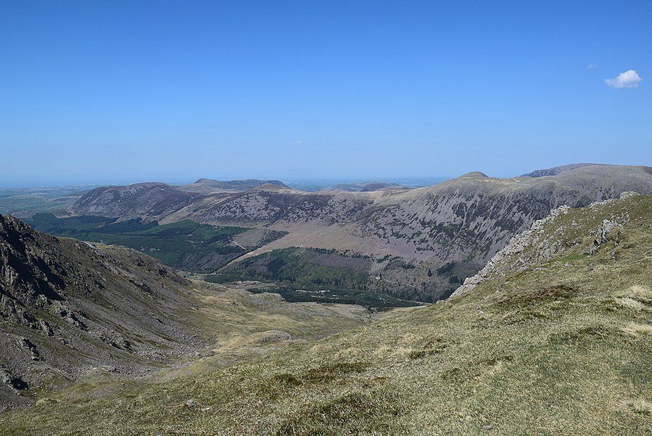
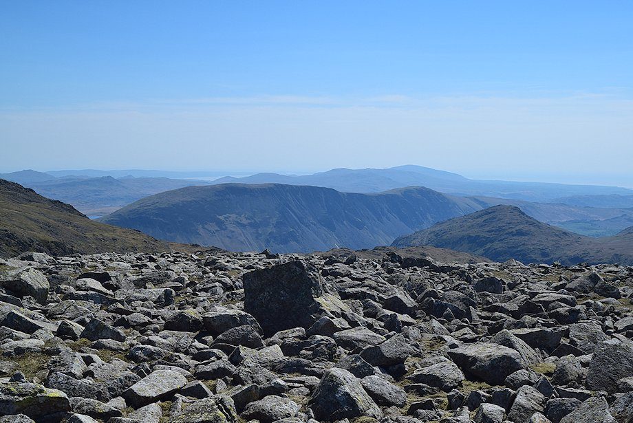
| Great Scoat Fell appears as the course of the beck begins to turn north-northeast. The path moves away from the beck and climbs the slopes below Great Lad Crag towards the upper part of the valley |
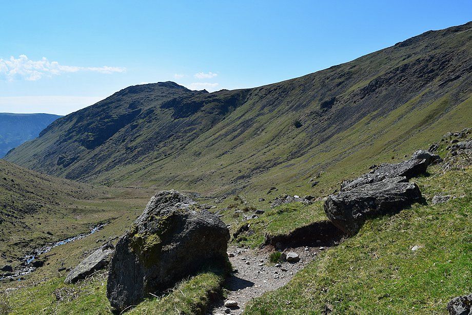 |
| Looking back to Middle Fell from the bridleway below Great Lad Crag |
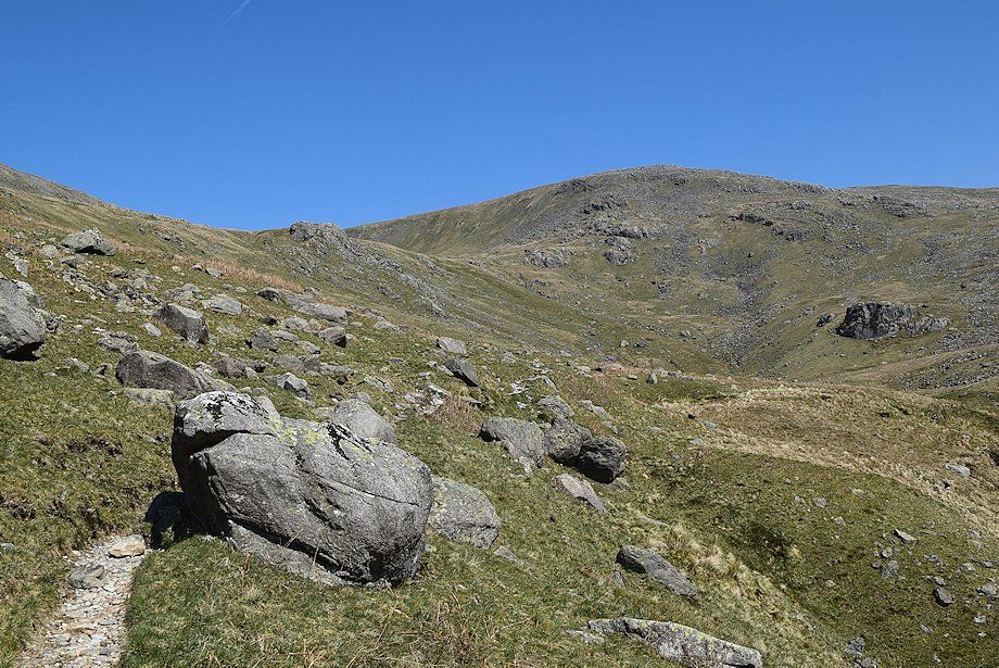 |
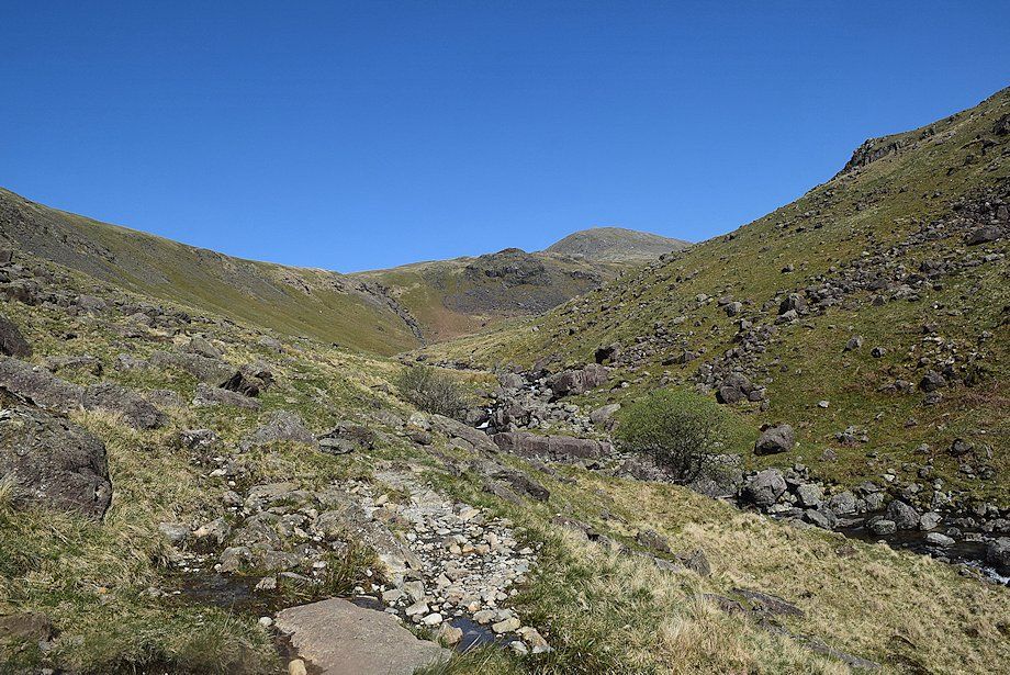
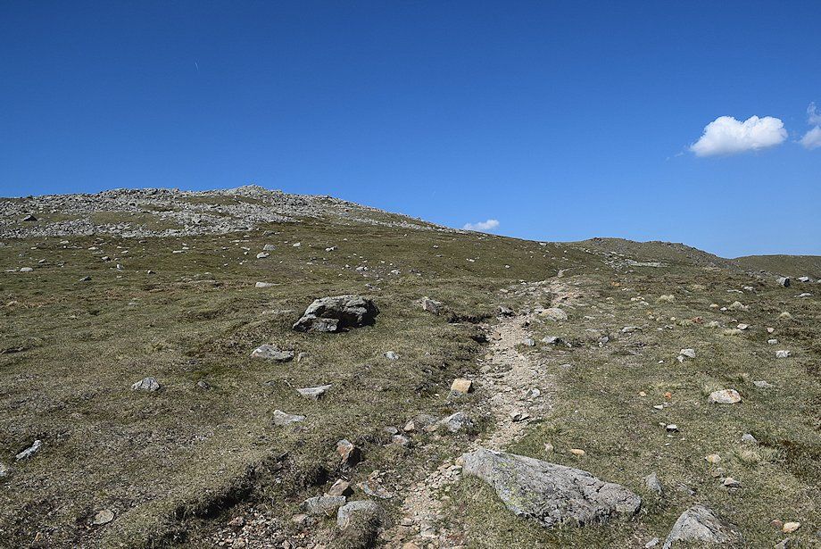
| Approaching the upper part of Nether Beck valley |
 |
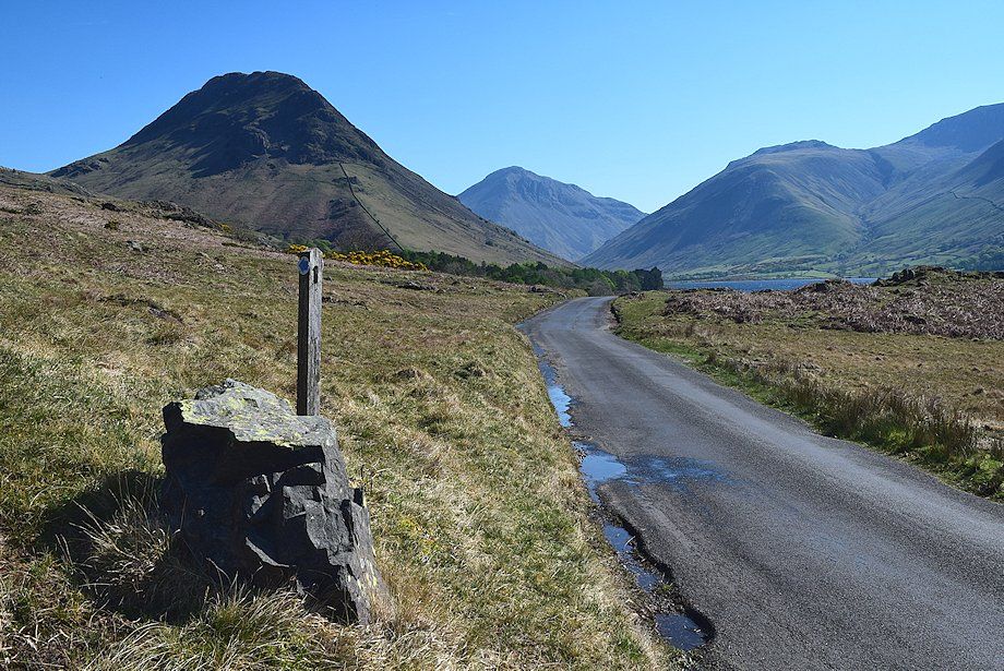
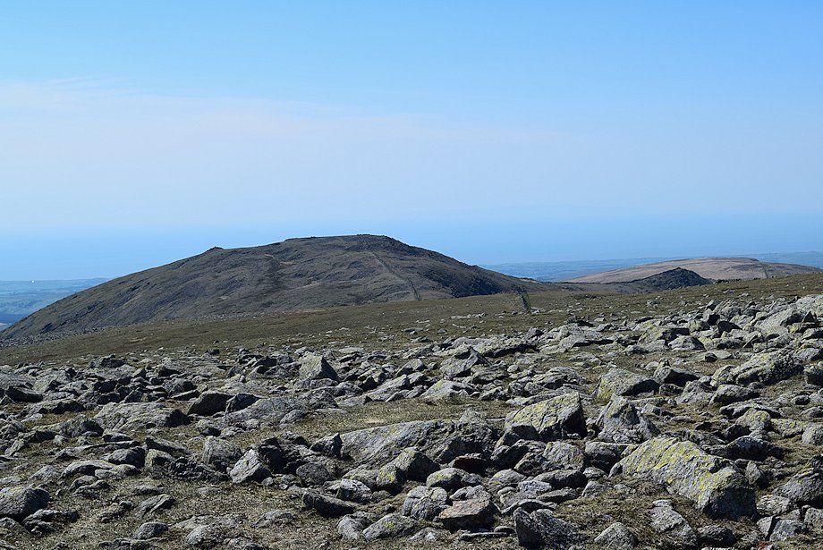
| Seatallan above the Pots of Ashness col |
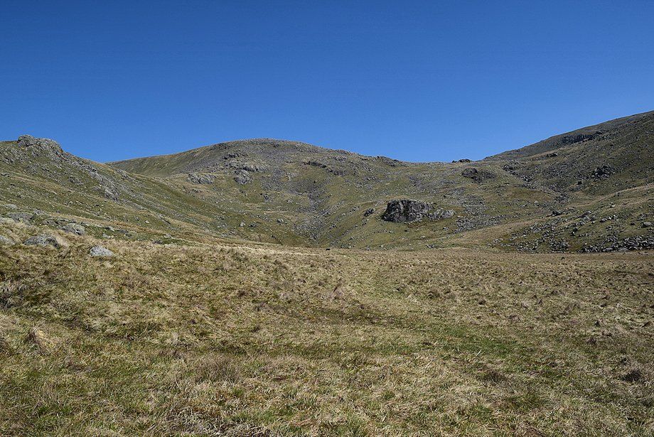 |
| Little Lad Crag, Great Scoat Fell and the slopes of Red Pike enclose the head of the valley. The bridleway continues on into the shallow combe on the left between Little Lad Crag and Great Scoat Fell, rising from there to the main ridge between Wasdale and Ennerdale. Scoat Tarn lies in the combe on the right between Great Scoat Fell and Red Pike |
 |
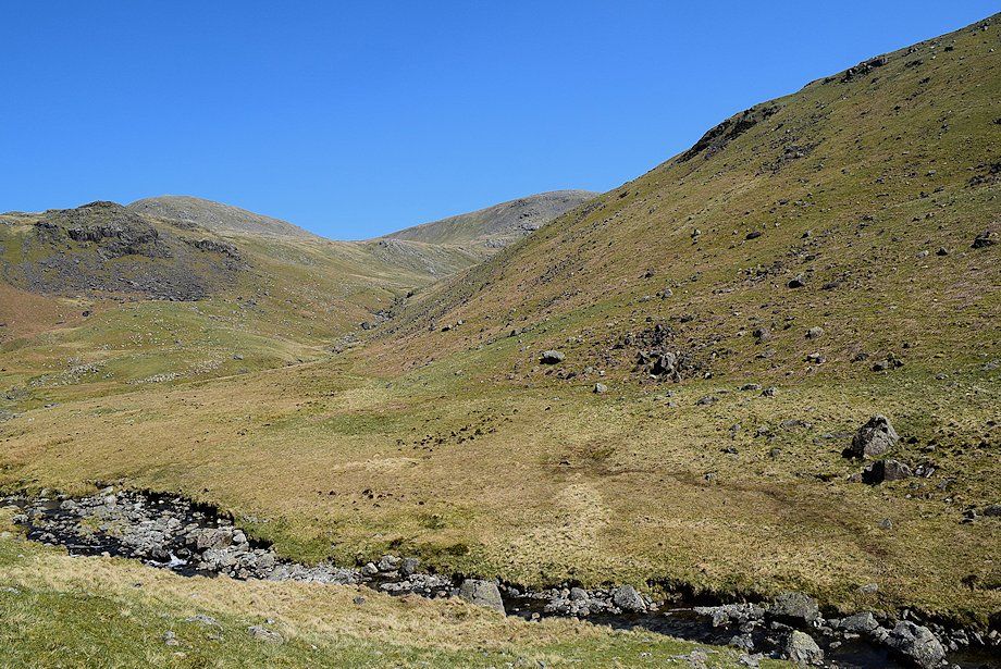
| Looking back along the middle part of the Nether Beck valley |
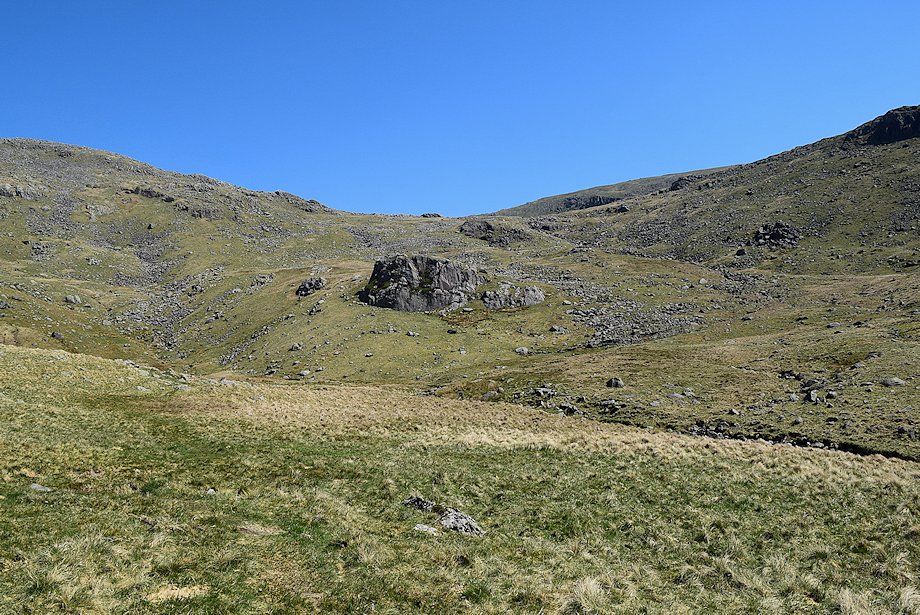 |
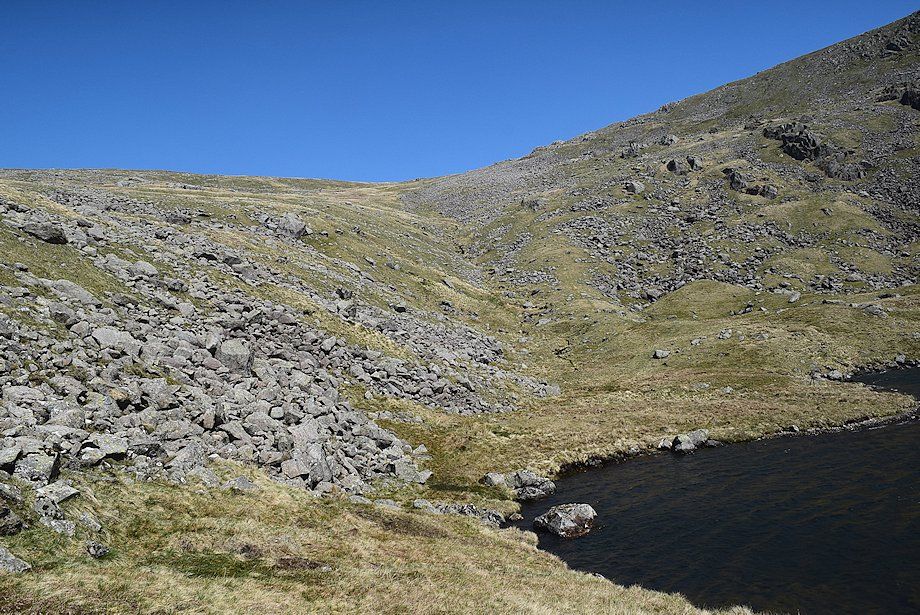
| The path to Scoat Tarn diverges from the bridleway and fords Nether Beck below an obvious crag. It becomes very faint as it climbs easily alongside the western side of Scoat Tarn's outflow stream |
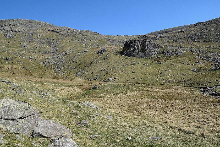 |
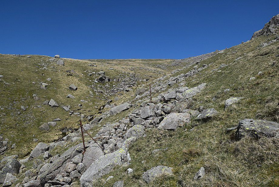
| Approaching the crossing point which is below an old sheepfold, close to the tributary of Nether Beck and the Scoat Tarn outflow stream |
 |
| Middle Fell and Seatallan from the old sheepfold which AW noted on his diagram of this ascent |
 |
| Looking across to the summit of Haycock above Little Lad Crag |
 |
| Seatallan from a solitary yew tree located a short distance to the left of the path |
 |
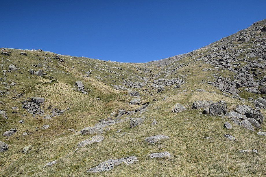
| Climbing alongside Scoat Tarn's outflow stream |
 |
| Middle Fell and Seatallan from the path alongside the outflow stream |
 |
| Approaching the lip of Scoat Tarn's combe |
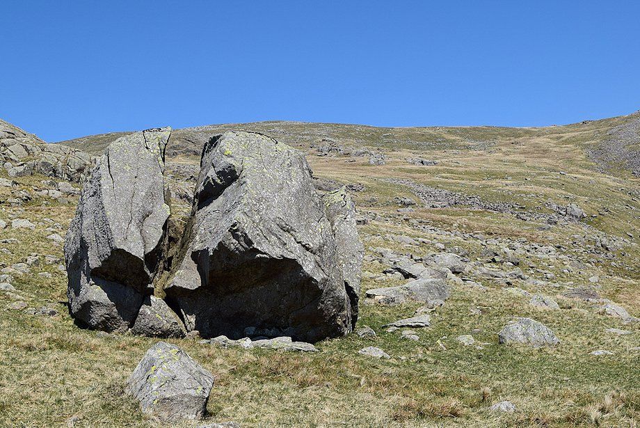 |
| " Split Boulder, Scoat Tarn " Scoat Tarn - page 5 |
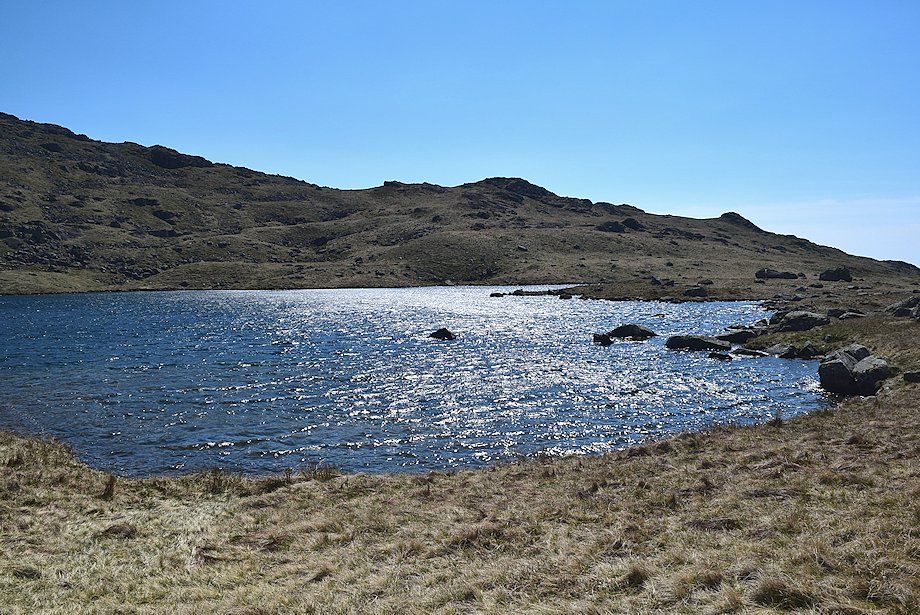 |
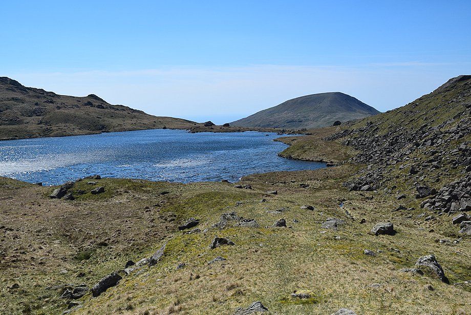
| Scoat Tarn |
 |
| Looking back to Seatallan from the split boulder |
 |
| There is little evidence of a path alongside the western side of Scoat Tarn. At its northern end an obvious grass rigg to the right of a feeder stream rises towards the col between Scoat Fell and Red Pike |
 |
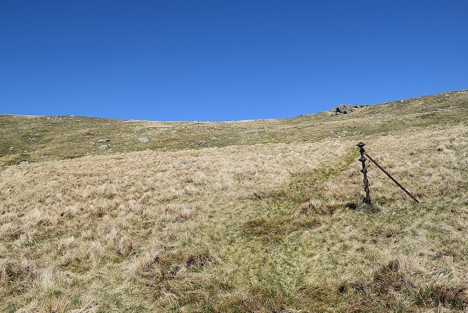
| The path re-appears at the base of the grass rigg |
 |
| Looking back to Scoat Tarn from the bottom of the grass rigg |
 |
| Scoat Tarn from the top of the grass rigg |
 |
| From the top of the grass rigg the path follows the edge of an area of boulders before crossing the stream where it flows in through a tributary hollow |
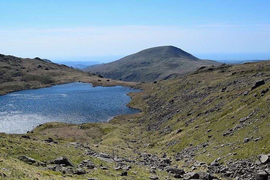 |
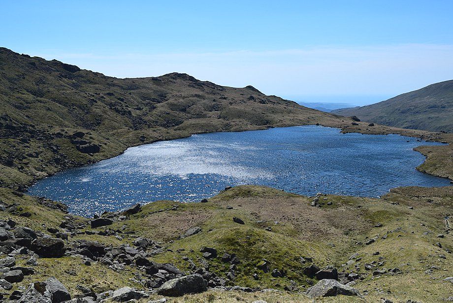
| Looking back to Scoat Tarn and Seatallan |
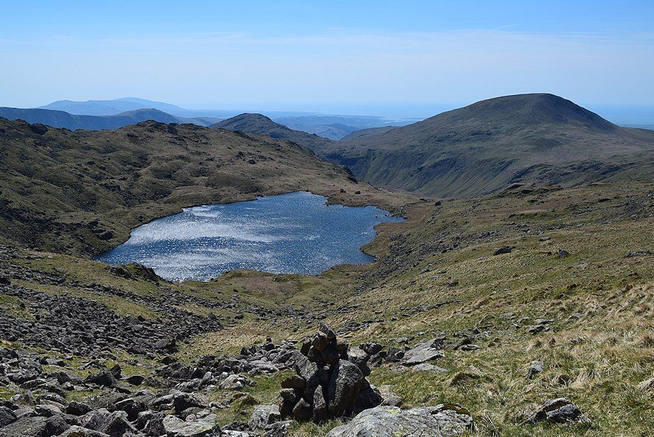 |
| " Looking back to Scoat Tarn from 2,400' " Scoat Fell - page 5 |
 |
| Approaching the col between Scoat Fell and Red Pike |
 |
| Looking over to the summit of Red Pike from the approach to the col |
 |
| On reaching the col Great Gable appears over the summit of Kirk Fell; the Helvellyn range and Fairfield are on the distant horizon to the left |
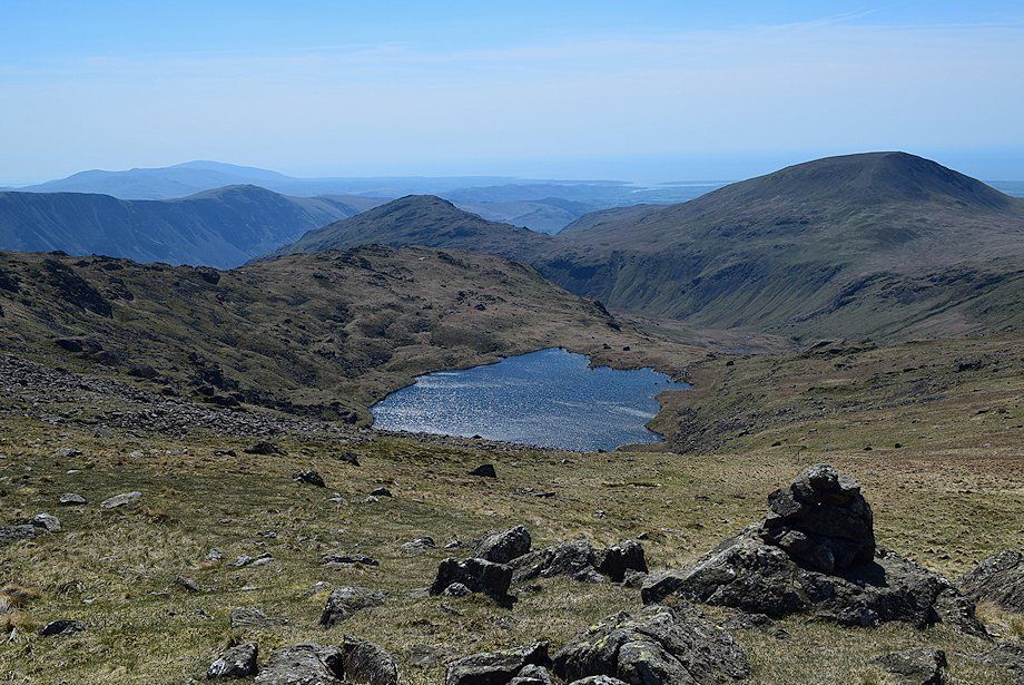 |
| Scoat Tarn from the col |
 |
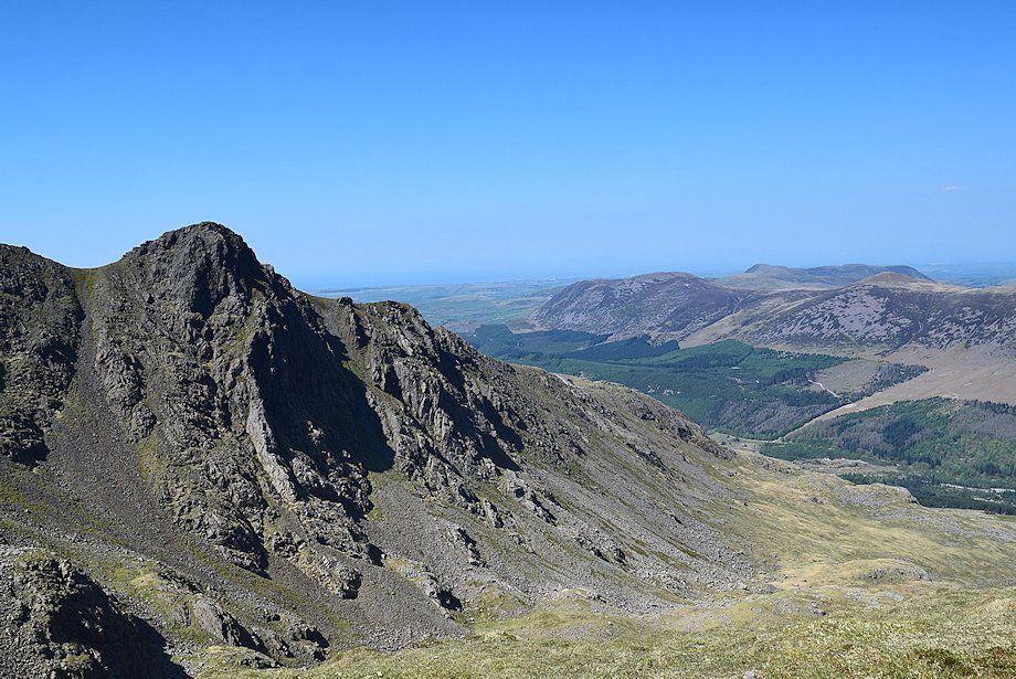
| Black Crag and Pillar from the col |
 |
| Red Pike from the col |
 |
| Scoat Fell from the col |
 |
| The Scafells and Red Pike from the climb to Scoat Fell |
 |
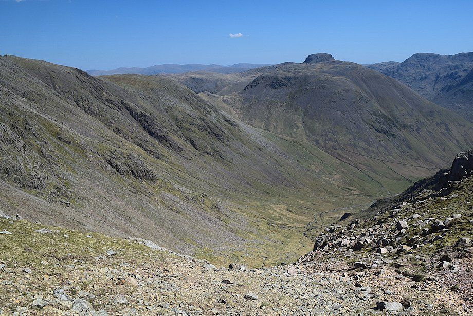
| There is a direct path from the col to Scoat Fell but it fades on the boulder field below the summit. A clearer path skirts the rim of Blackem Head, (Black Combe Head), to the col between Black Crag and Scoat Fell and offers finer views |
 |
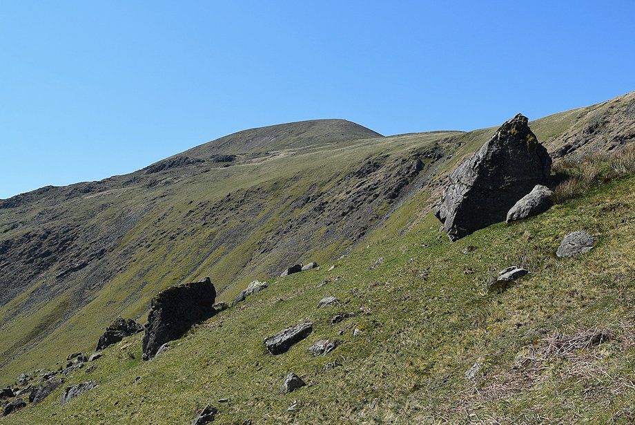
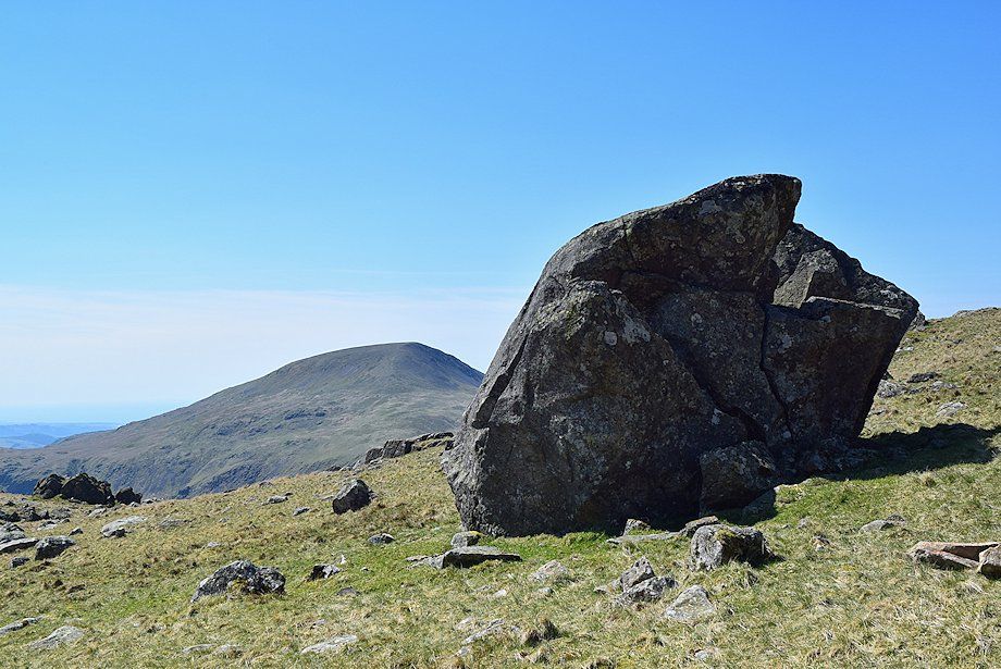
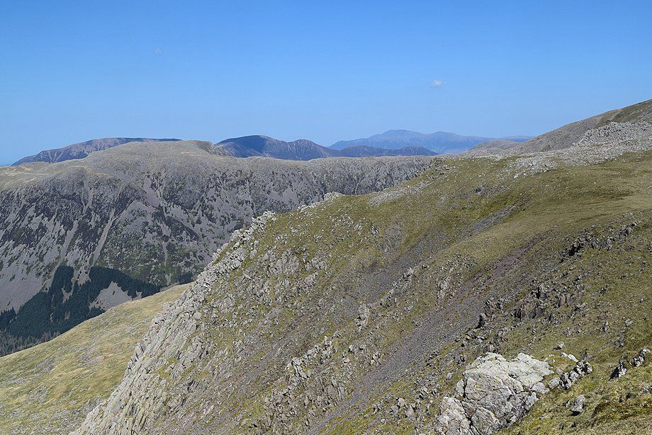
| Looking over to Middle Fell and Seatallan |
 |
| Mosedale from Blackem Head |
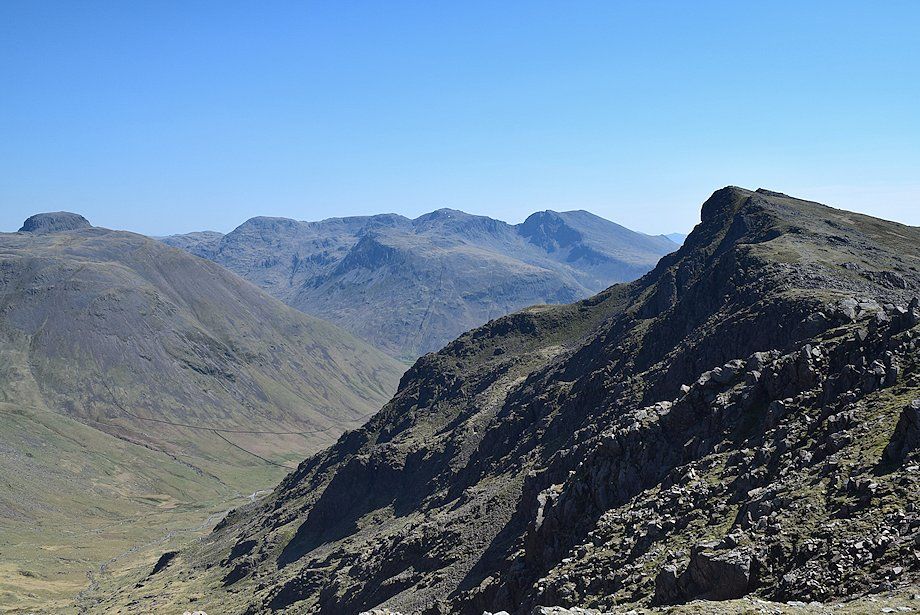 |
| Great Gable, Kirk Fell, the Scafell group and Red Pike across Blackem Head |
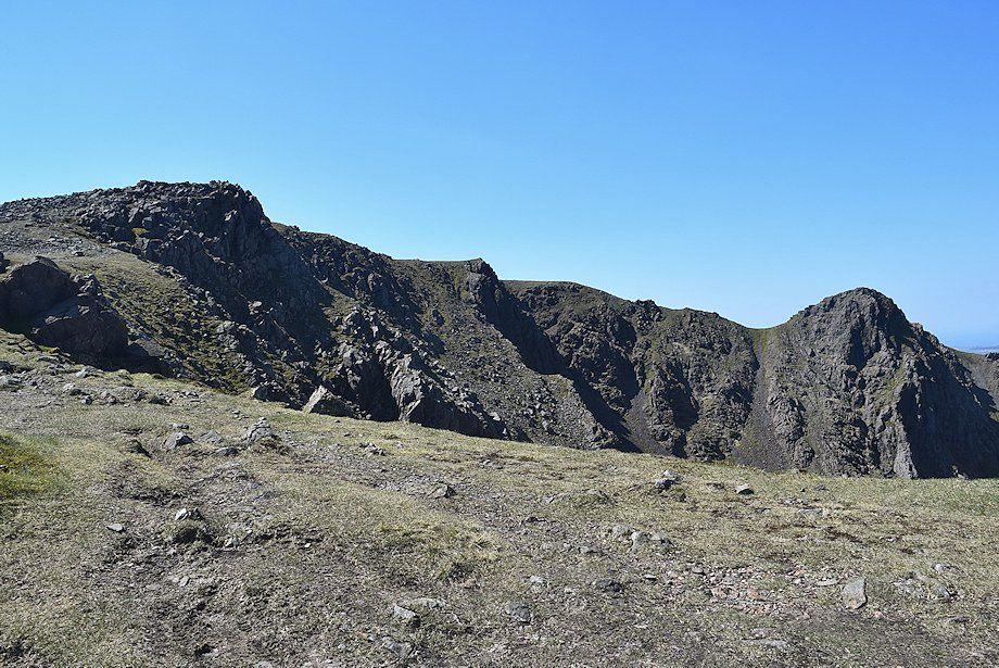 |
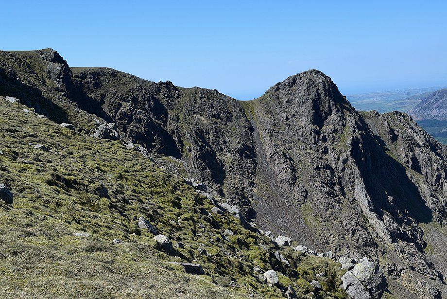
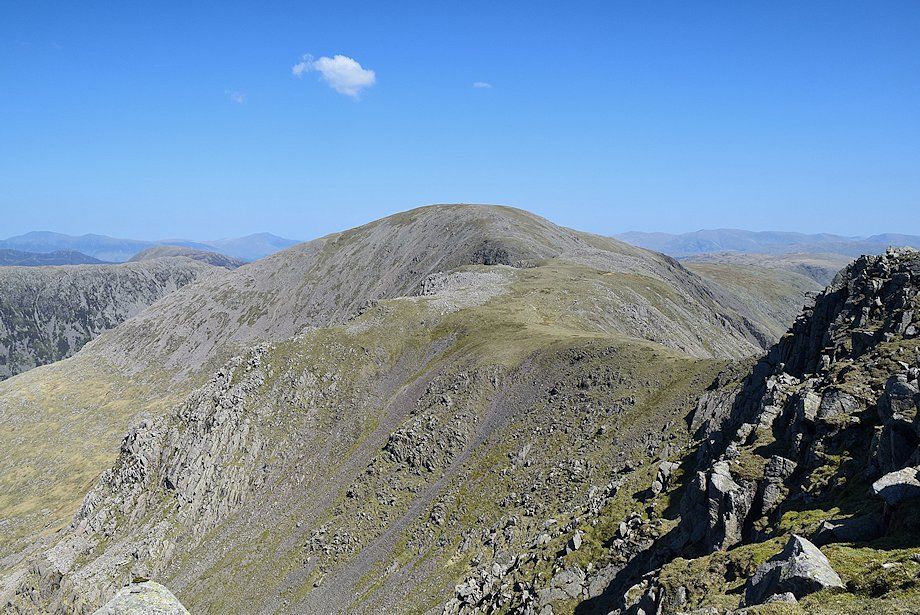
| The summit ridges of Scoat Fell and Steeple come into view on reaching the col between Scoat Fell and Black Crag |
 |
| Ennerdale from the col |
 |
| The north ridge of Steeple across Mirk Cove |
 |
| The summit of Pillar above Black Crag from the col |
 |
| Great Gable over Kirk Fell from the col |
 |
| The Scafells from the col |
 |
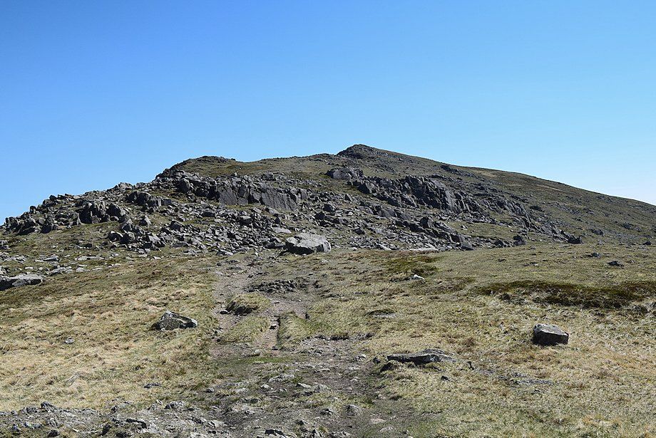
| The ridge leading up to the summit of Scoat Fell from the col |
 |
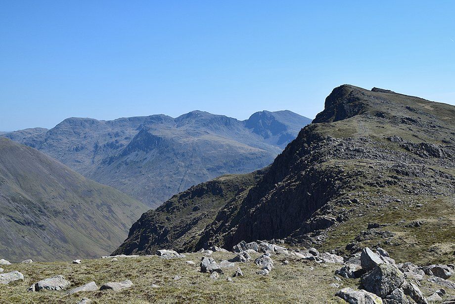
| Looking back from the climb to Scoat Fell, Skiddaw appears over the High Stile ~ High Crag ridge |
 |
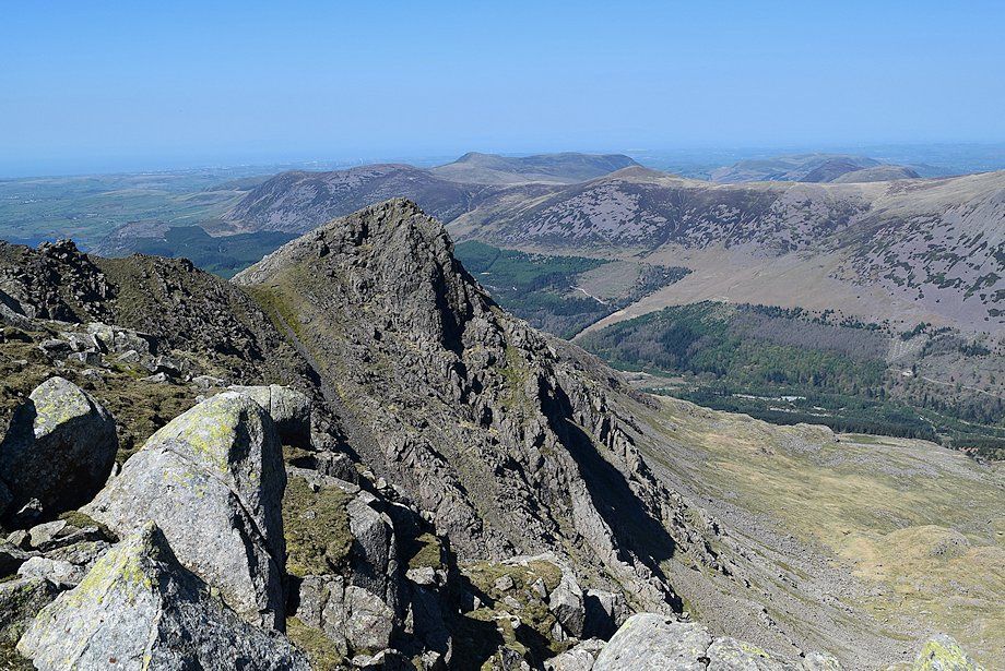
| The east face of Steeple from the climb to Scoat Fell, a walker on the col gives some scale to the height of the crags |
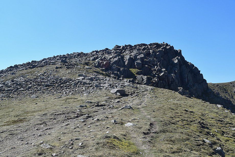 |
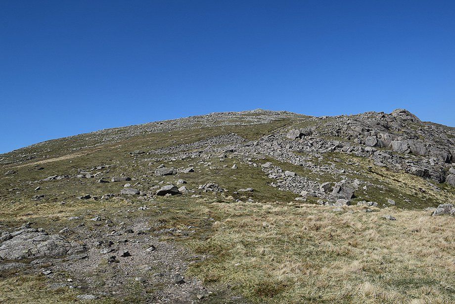
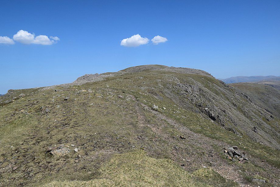
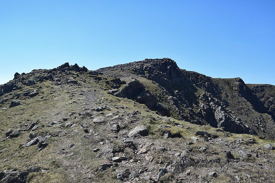
| The final slope leading up to the summit plateau |
 |
| Approaching the summit of Scoat Fell |
 |
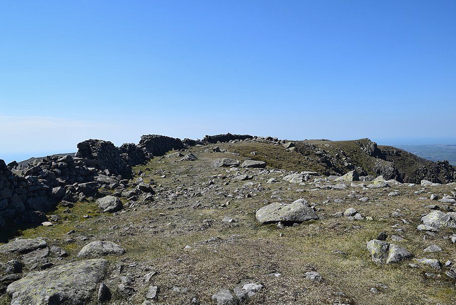
| The Ennerdale Fence wall runs over the highest point of the fell which is marked by a small cairn |
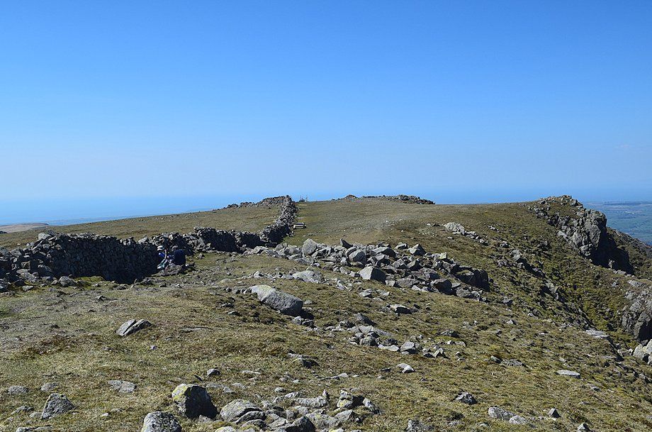 |
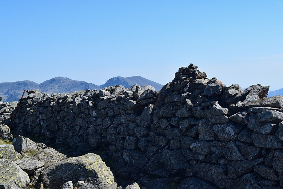
| A more traditional cairn stands a little further to the west near the wall corner and the connecting ridge to Steeple |
 |
| Illgill Head, Whin Rigg and Middle Fell from the summit of Scoat Fell |
 |
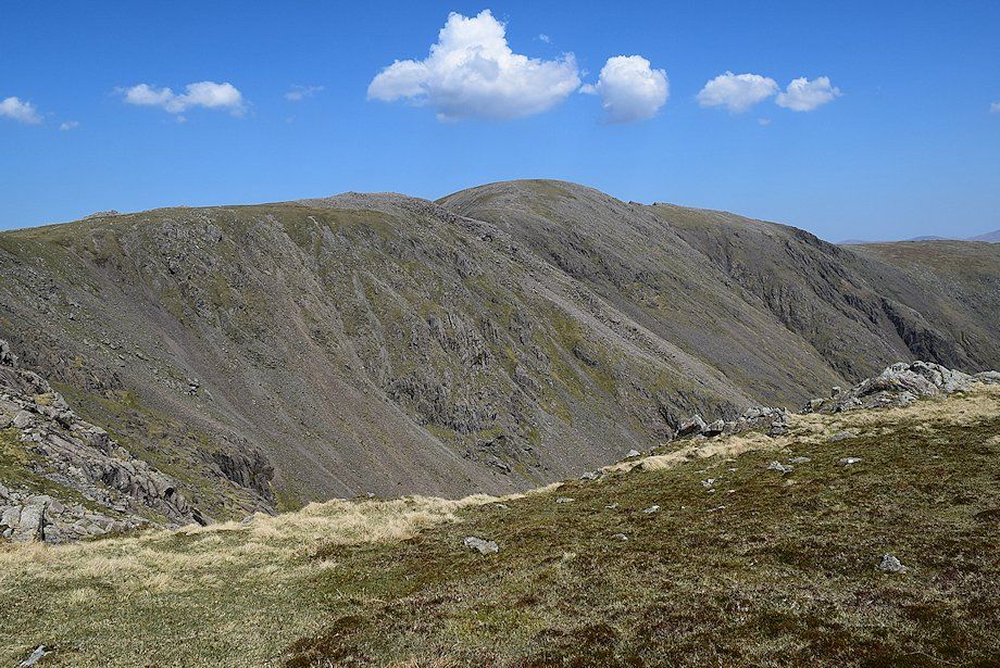
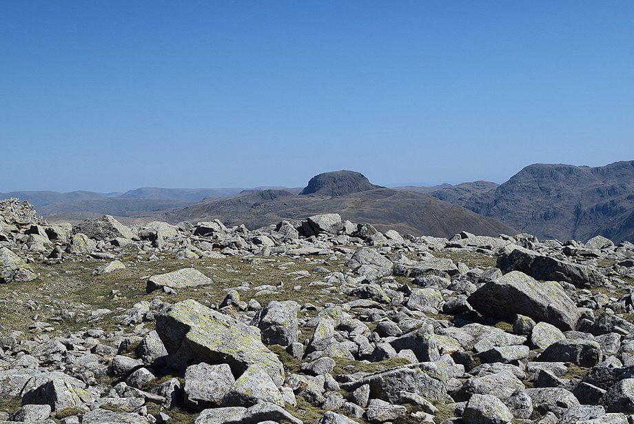
| The connecting ridge over Great Scoat Fell to Haycock |
 |
| Steeple from the summit of Scoat Fell |
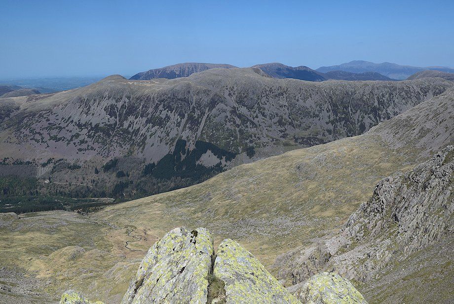 |
| Red Pike, High Stile, and High Crag backed by the North-Western fells of Grasmoor, Eel Crag, Sail, Scar Crags, Causey Pike, and Robinson |
 |
| Pillar and Black Crag from the summit of Scoat Fell |
 |
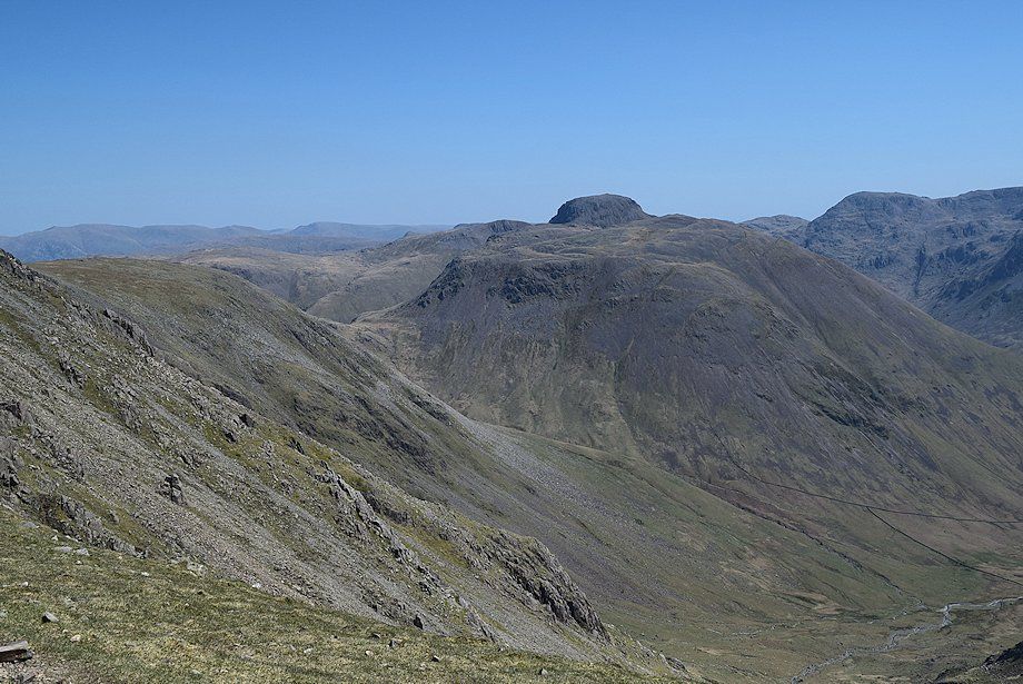
| Great Gable from the summit of Scoat Fell |
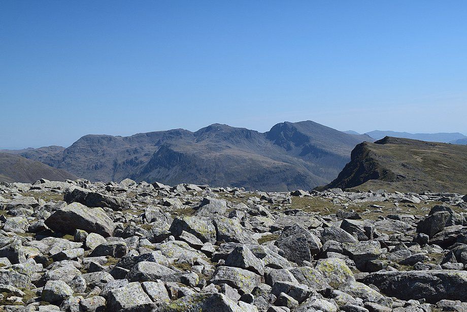 |
| Great End, Scafell Pike and Scafell with Red Pike and the Coniston fells on on the right |
|