 |
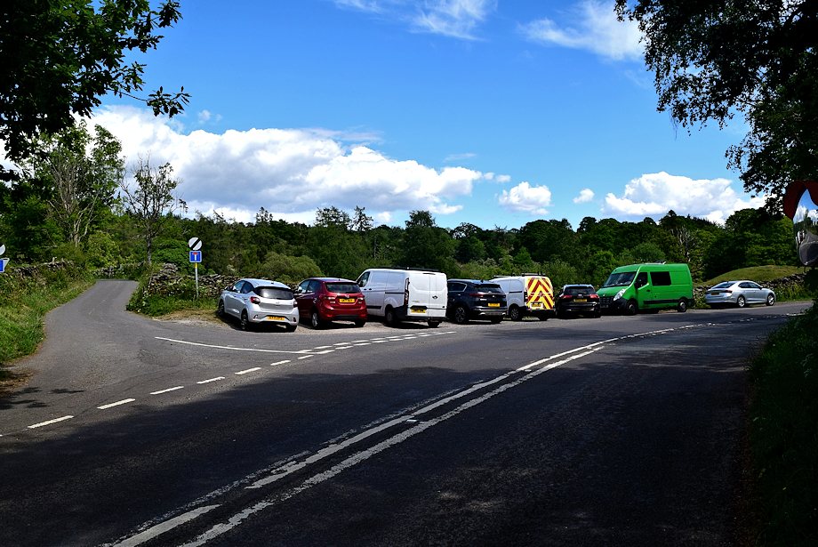
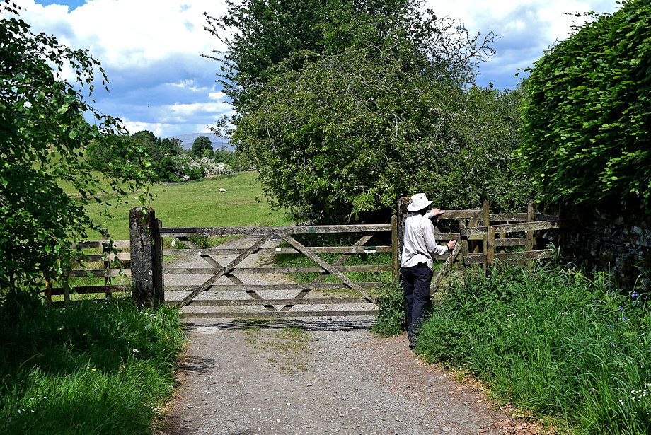
| Cleabarrow Lane junction on the Bowness-on-Windermere ~ Crook road is the starting point for this walk |
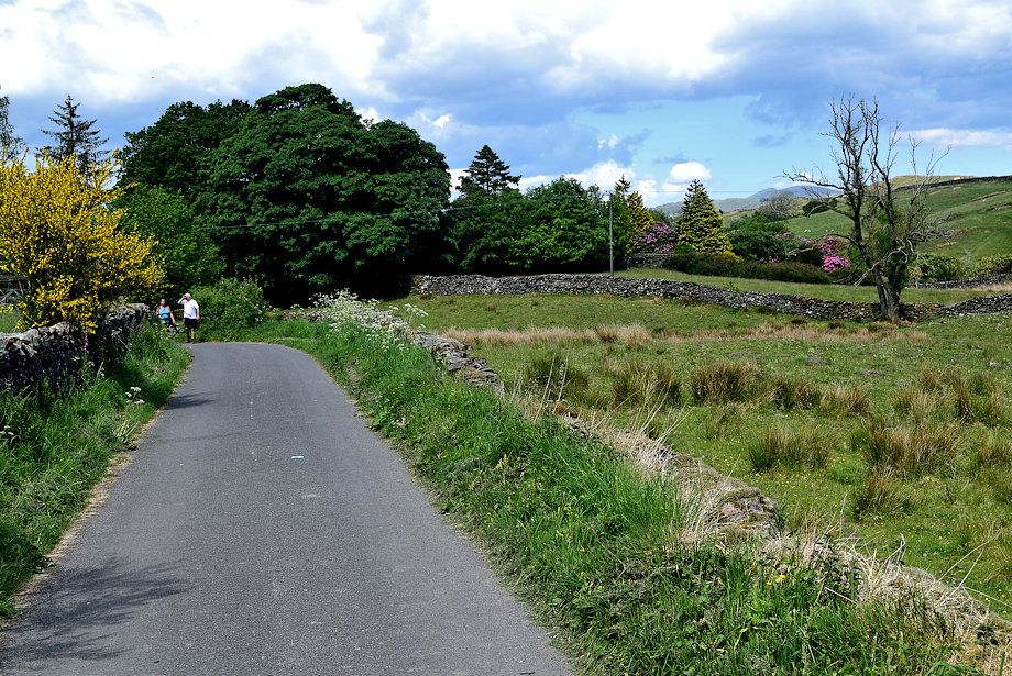 |
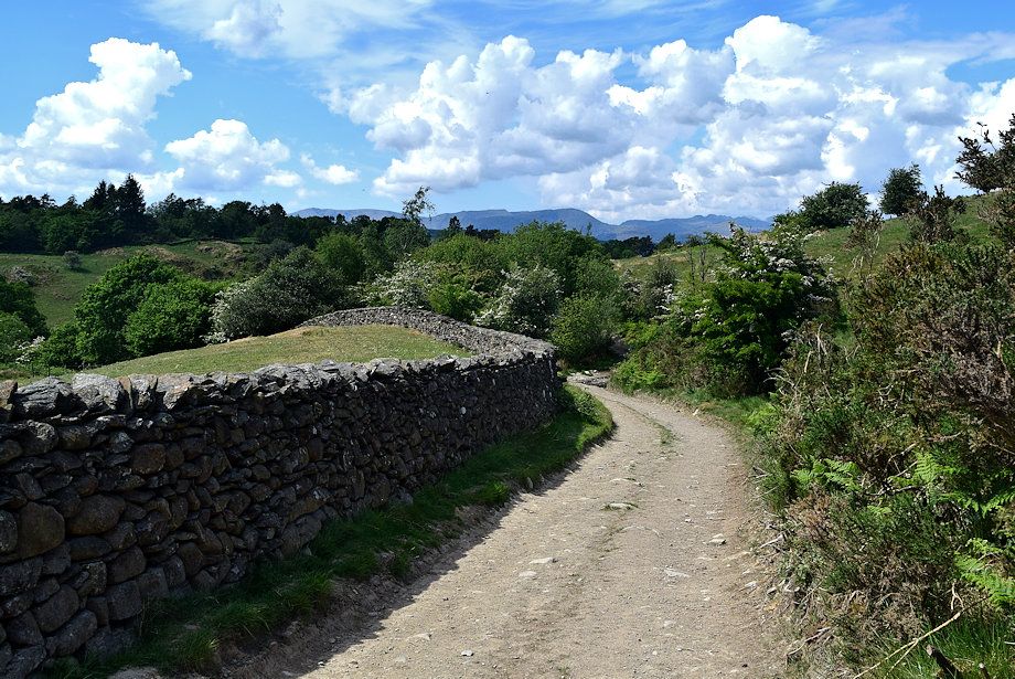
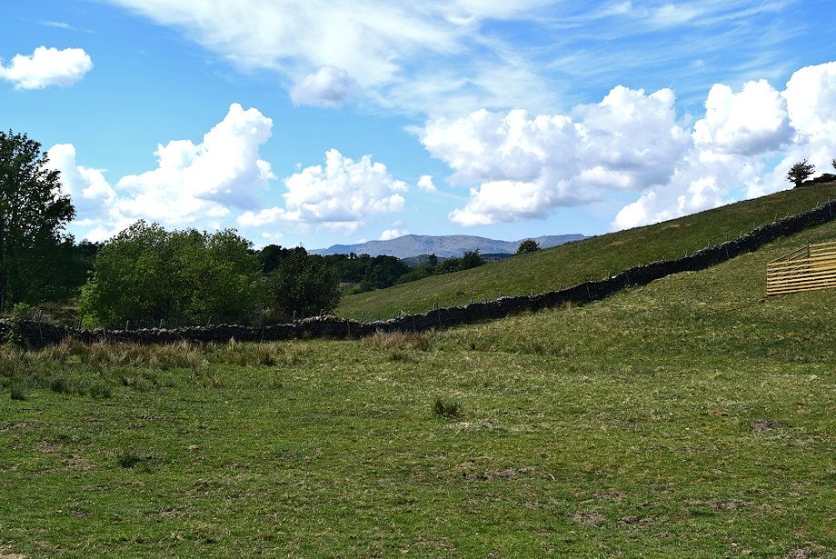
| Cleabarrow Lane forms part of the Dales Way, a 80 mile long distance footpath between Iikley and Bowness |
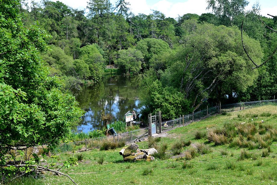 |
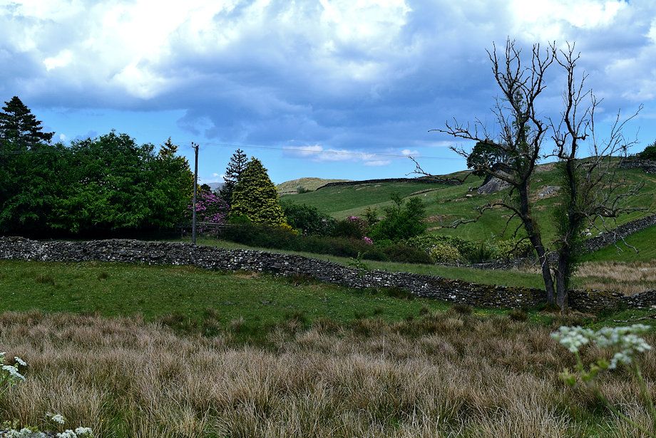
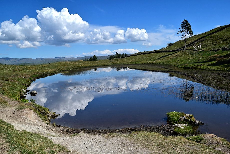
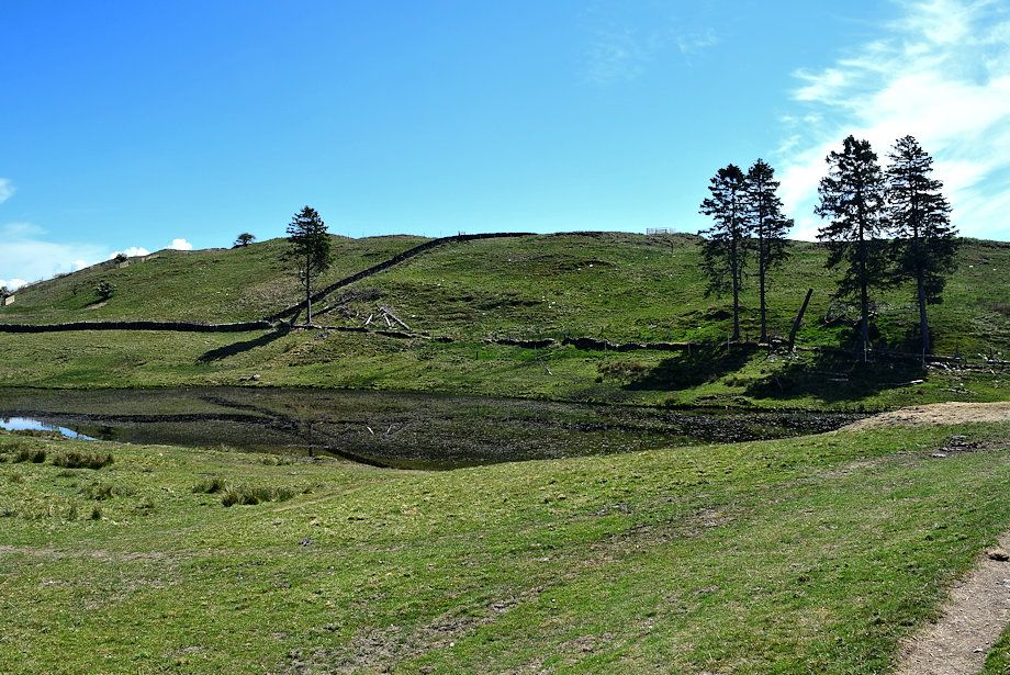
| Looking down on Cleabarrow Tarn from the lane |
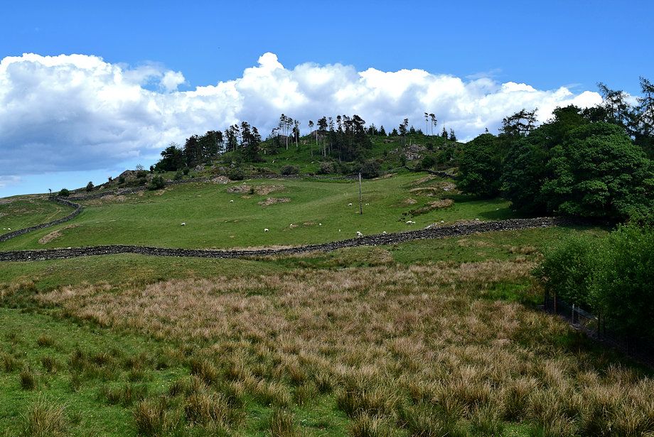 |
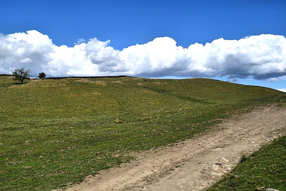
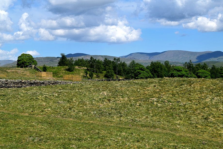
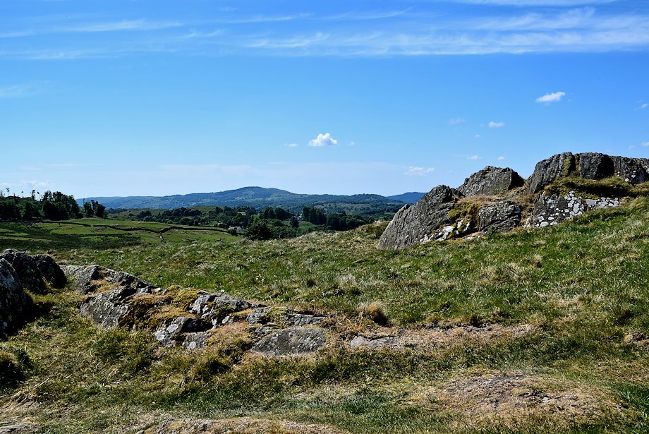
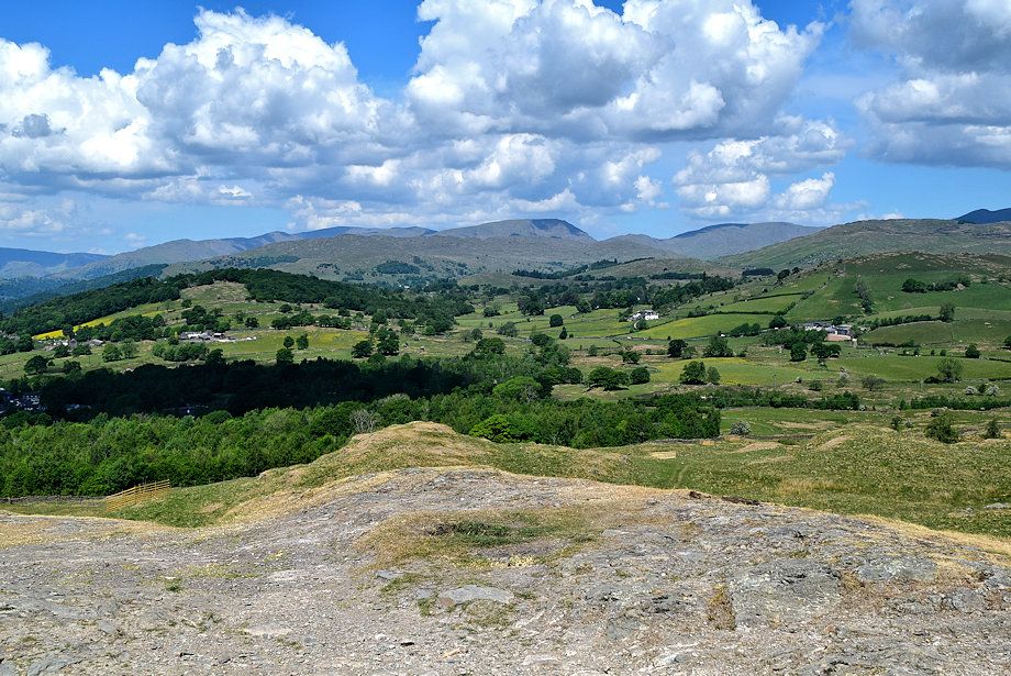
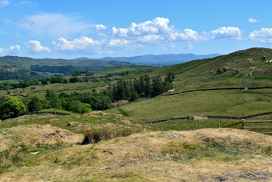
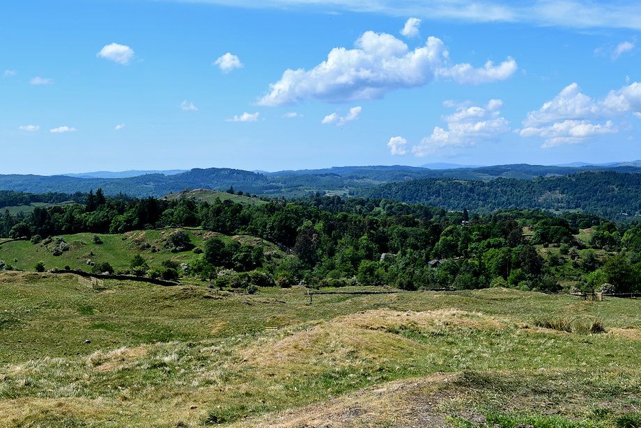
| Cleabarrow Hill from the lane |
 |
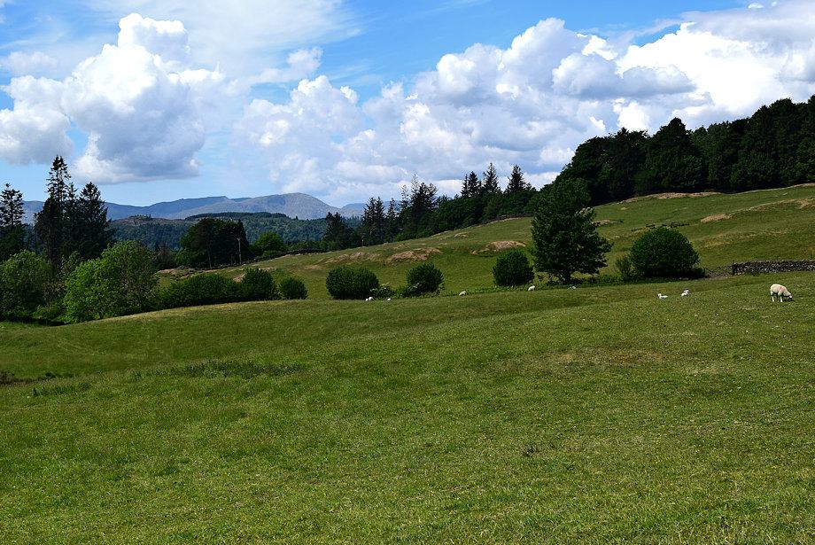
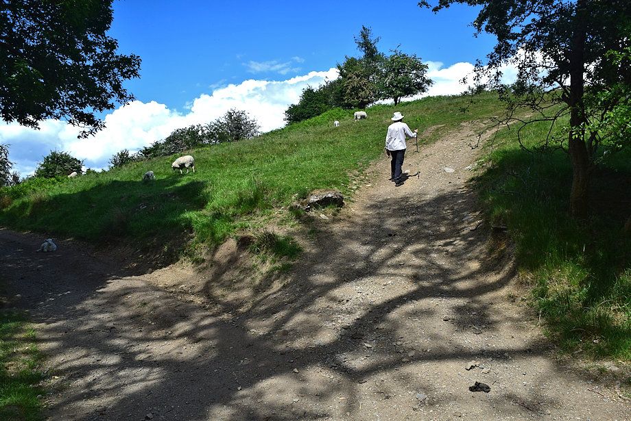
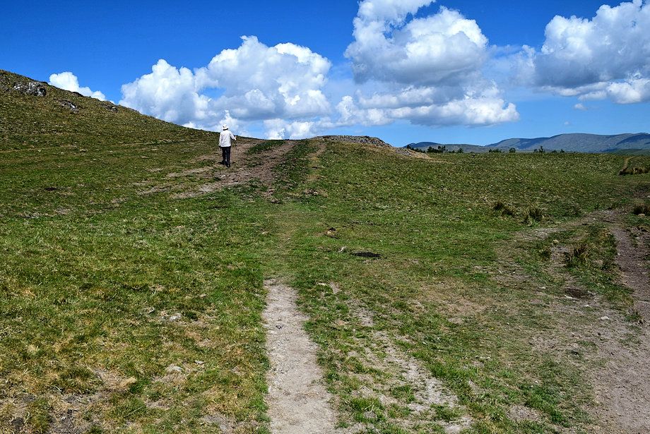
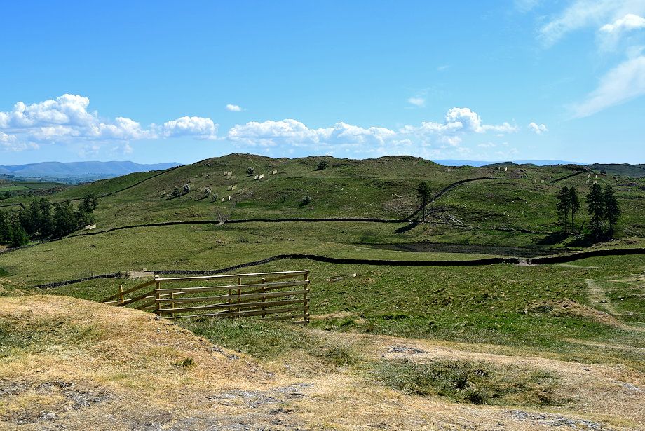
| The summit of School Knott comes into view |
 |
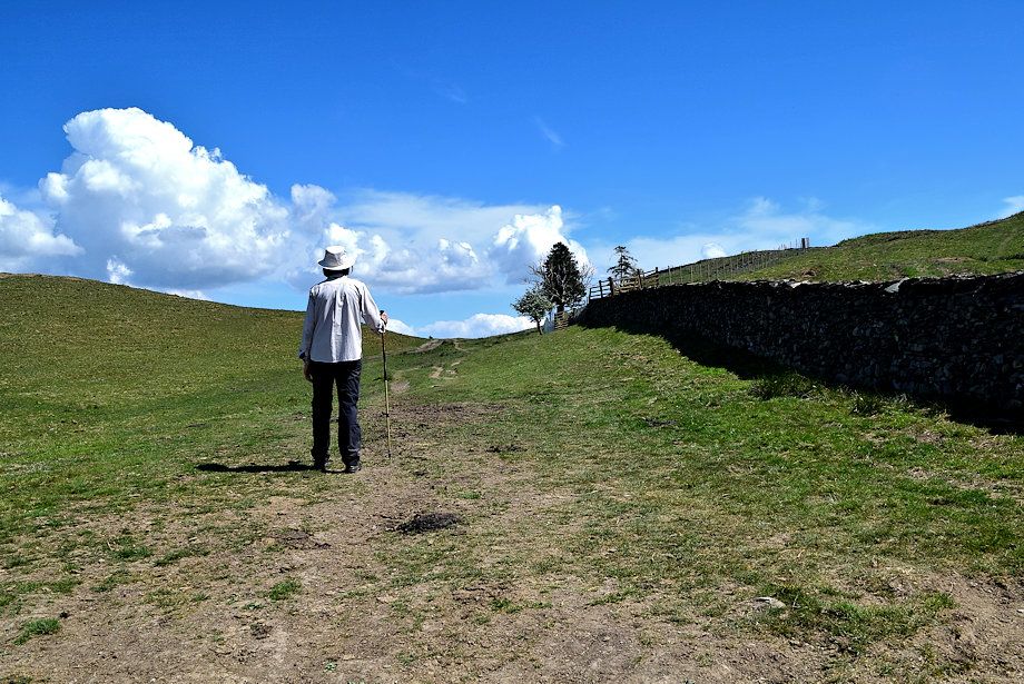
| The Dales Way carries on straight ahead when the lane forks |
 |
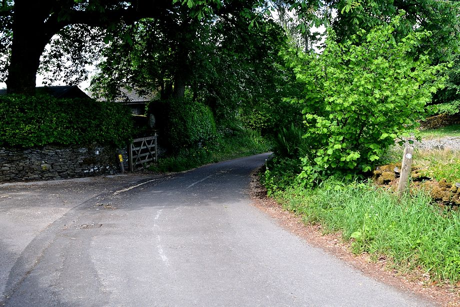
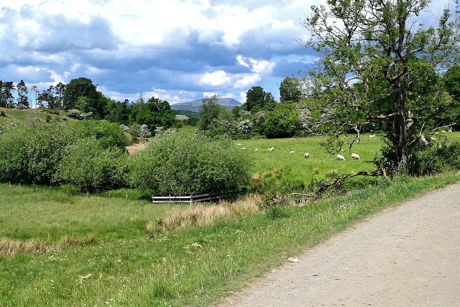
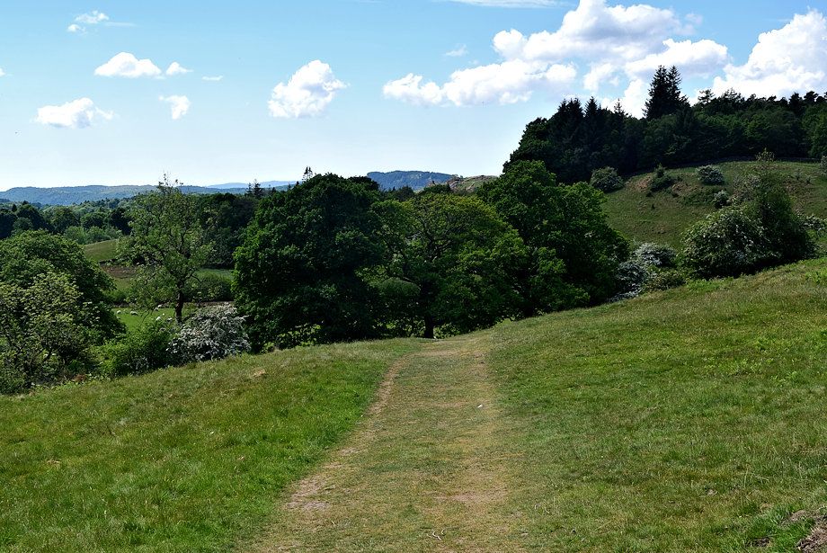
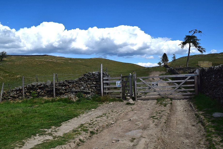
| The surfaced lane ends on passing the last house in the hamlet, the dales Way continues as a rough track down the hill |
 |
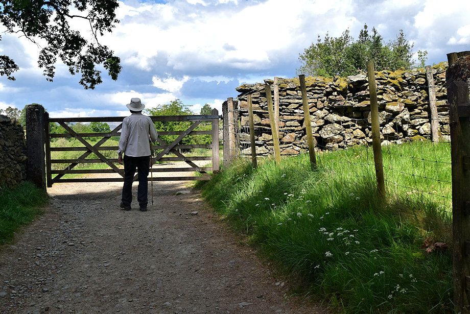
| A handgate gives access to pasture fields at the bottom of the hill |
 |
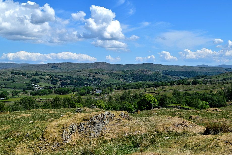
| Wetherlam from the Dales Way track |
 |
| Red Screes, St Raven's Edge and Caudale Moor from the Dales Way track |
 |
| The Coniston Fells from the Dales Way track |
 |
| Waiting for the farmer to gather some sheep before we pass through another gate |
 |
| The unmistakeable profile of Red Screes on the horizon |
 |
| Passing the dried bed of Scout Tarn |
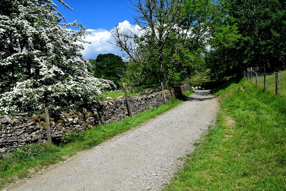 |
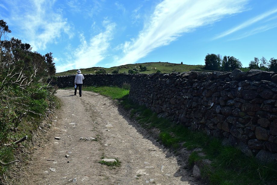
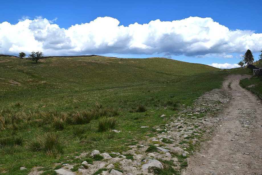
| After passing through another gate the track becomes confined between a wall and a fence for a short distance |
 |
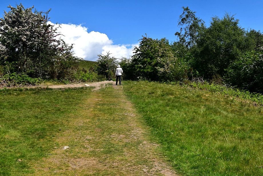
| We leave the Dales Way track for a 'short cut' path up a grass bank |
 |
| Looking back along the 'short cut' path |
 |
| Rejoining the Dales Way track at a higher level |
 |
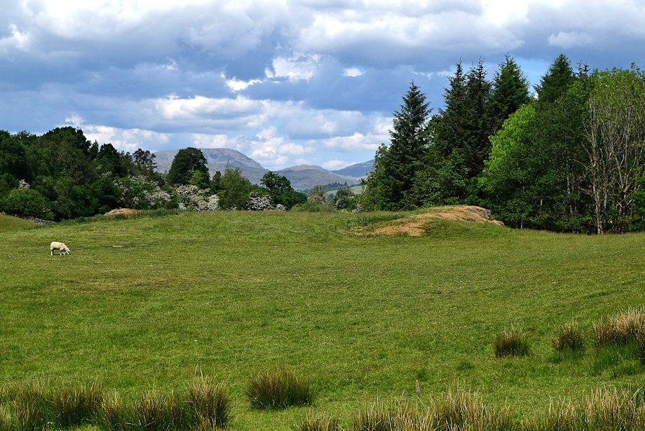
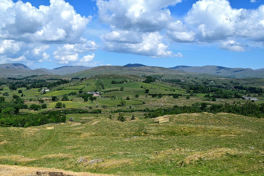
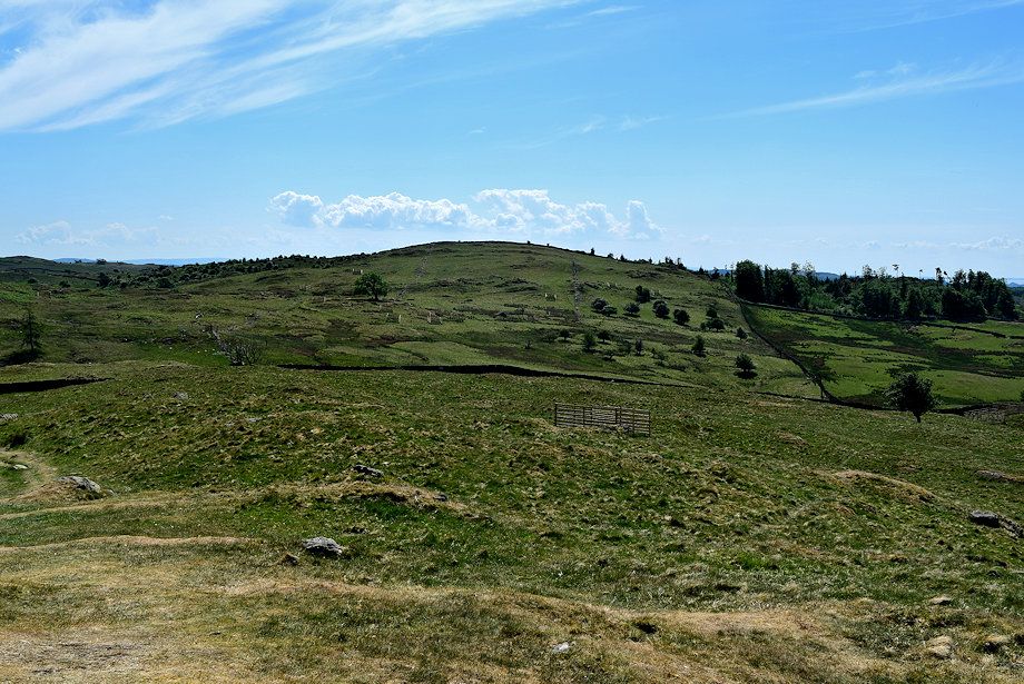
| Cleabarrow Hill from the Dales Way track |
 |
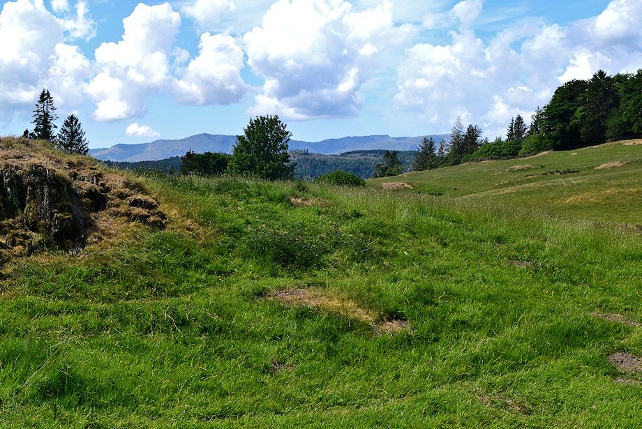
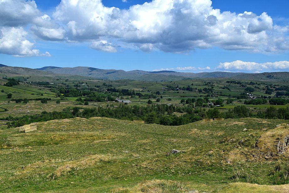
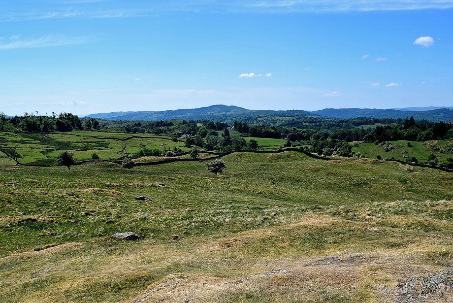
| Looking back from the Dales Way track |
 |
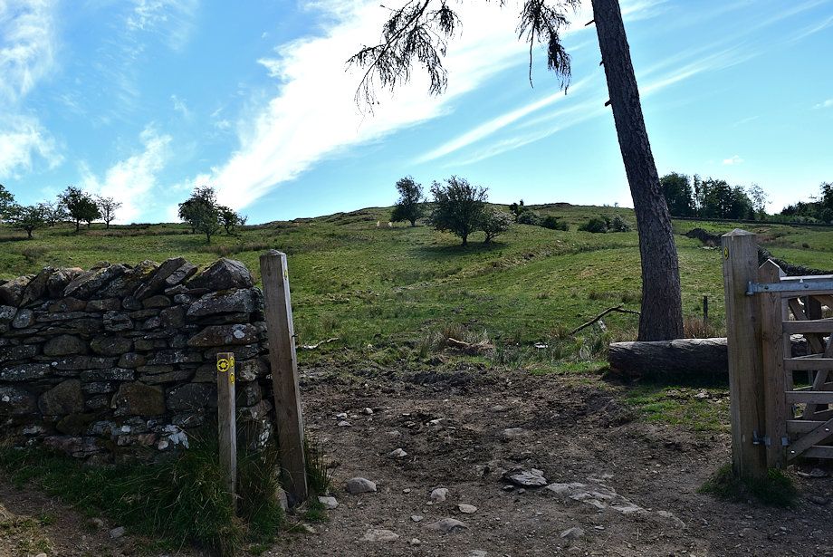
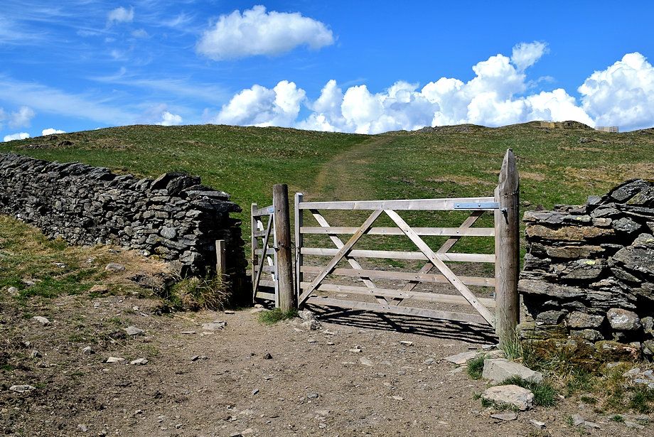
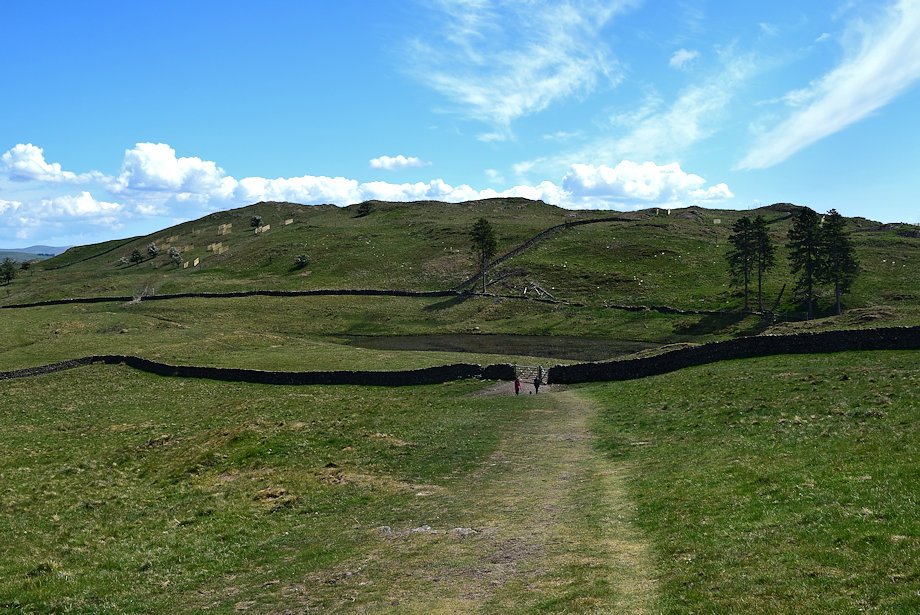
| The final gate before reaching Schoolknott Tarn |
 |
| The track leading up to Schoolknott Tarn frm the gate |
 |
| The Dales Way path turns off to the right bound for Hag End, we continue on the track to Schoolknott Tarn |
 |
| School Knott from the track to Schoolknott Tarn |
 |
| Looking back to Coniston Old Man |
 |
| Approaching the col between School Knott and Grandsire, the tarn lies just beyond the trees |
 |
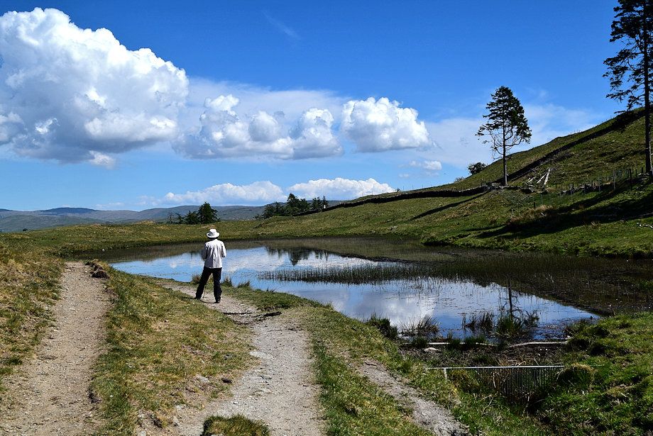
| Schoolknott Tarn |
 |
| The path to School Knott turns off to the left from the tarn |
 |
| On the path to School Knott |
 |
| Looking back to Schoolknottt Tarn and Grandsire |
 |
| The summit of School Knott appears on the left |
 |
| The Kentmere Fells over part of the Schoolknott Plantation |
 |
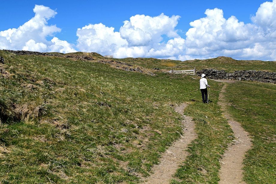
| The gate into the School Knott enclosure |
 |
| Brunt Knott and Ulgraves from the enclosure gate |
 |
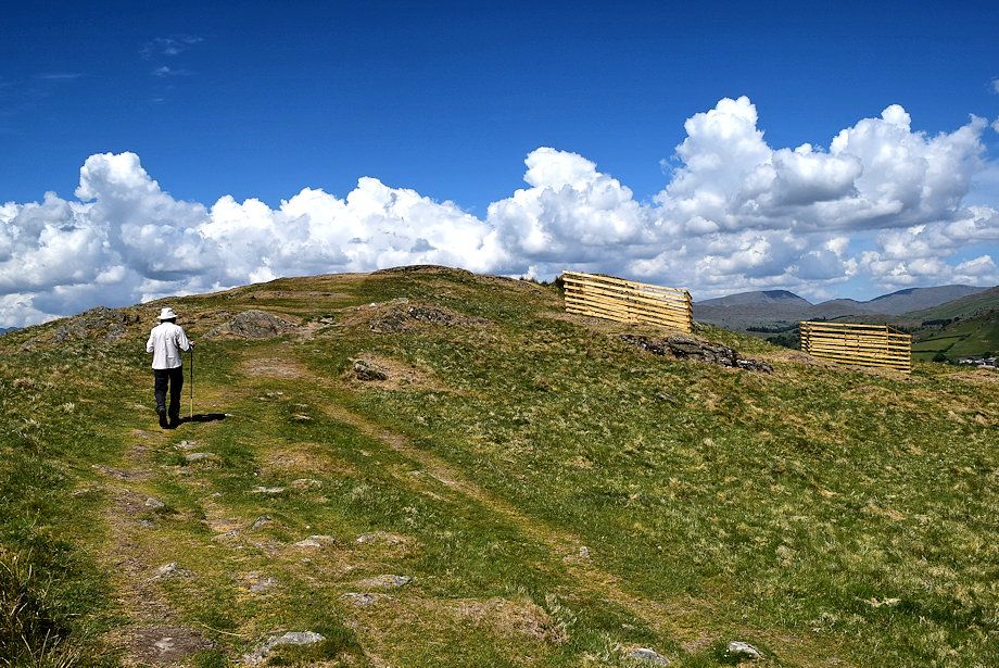
| The path leading up to the summit |
 |
| Looking over towards Birch Fell and Gummer's How from the path to the summit |
 |
| Looking back to Grandsire |
 |
| Approaching the summit of School Knott |
 |
| The summit of School Knott |
 |
| Heron Pike, Great Rigg, Fairfield, Hart Crag, Dove Crag, Red Screes, St. Raven's Edge and Caudale Moor on the central horizon |
 |
| Red Screes, St. Raven's Edge, Caudale Moor, Sour Howes, Ill Bell, Yoke, Sallows, Harter Fell, Kentmere Pike, Shipman Knotts and Tarn Crag form the horizon |
 |
| Sallows, Harter Fell, Kentmere Pike, Shipman Knotts, Tarn Crag, Grey Crag and Ancrow Brow from the summit of School Knott |
 |
| Brunt Knott and Ulgraves on Potter Fell |
 |
| The Howgills on the horizon |
 |
| Grandsire from the summit of School Knott |
 |
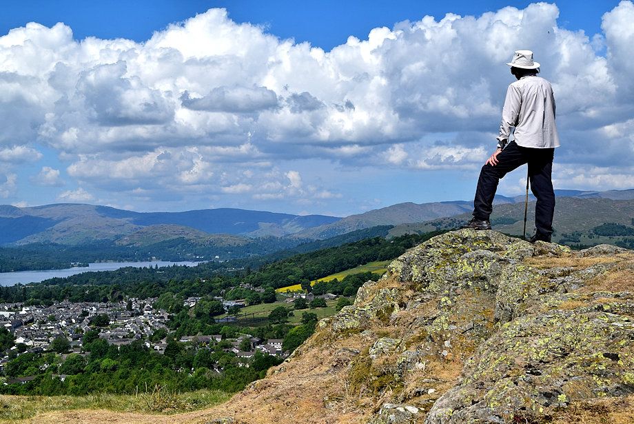
| Cleabarrow Hill from the summit of School Knott |
 |
| Birch Fell and Gummer's How from the summit of School Knott |
 |
| Black Brows on the left with a distant Black Combe on the centre right horizon |
 |
| The Coniston Fells over Claife Heights |
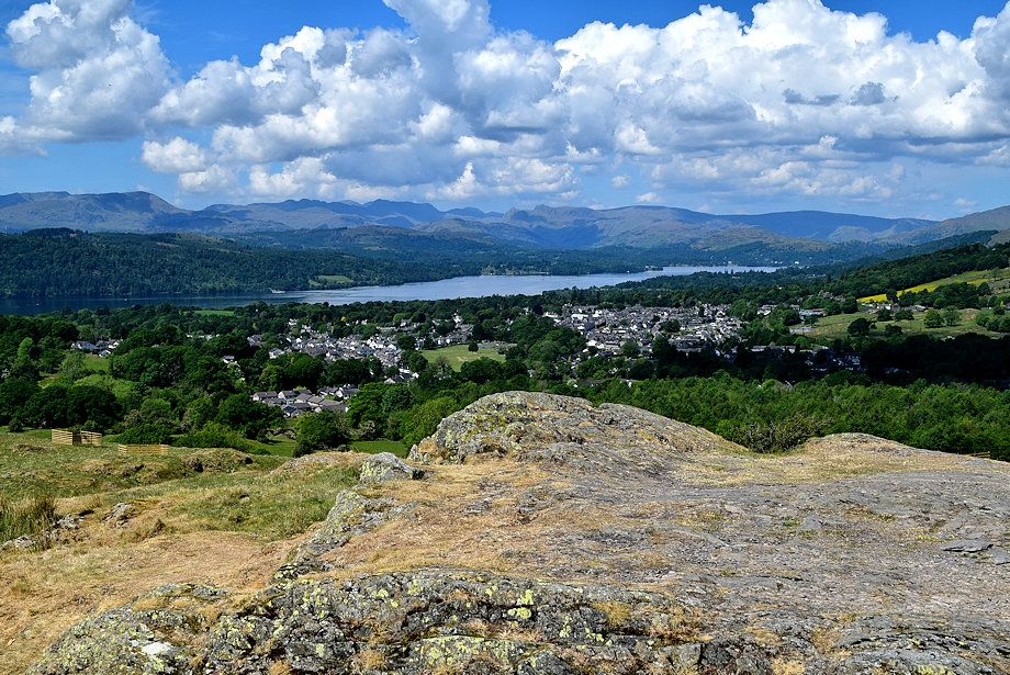 |
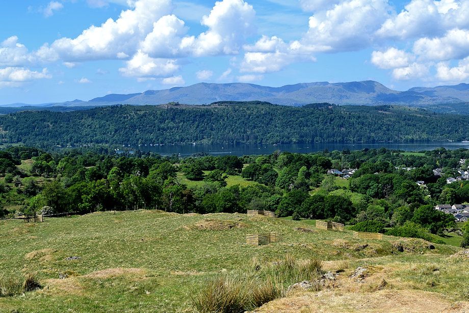
| Windermere from the summit of School Knott |