 |
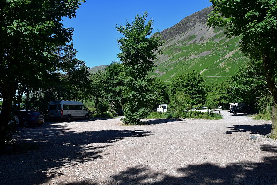
| The National Trust car park which is adjacent to the campsite is the starting point for this walk |
 |
| Lingmell, Scafell Pike and Scafell from the car park |
 |
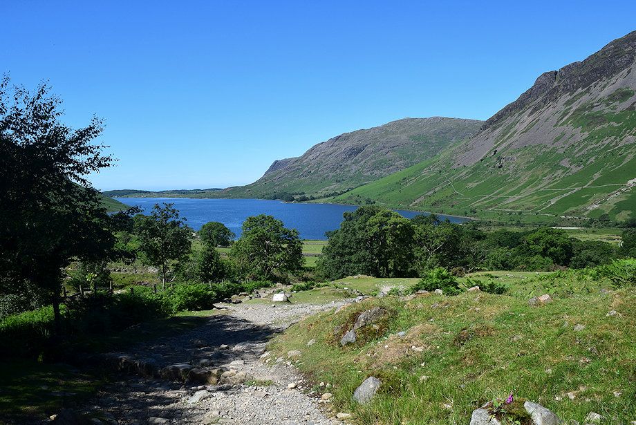
| Great Gable and Lingmell from the Mountain Rescue vehicles' parking area |
 |
| After crossing the wide bridge spanning Lingmell Gill follow the old Corpse Road Road track which is signed for Eskdale and Miterdale. The track soon splits - keep left at the fork and follow a permissive path which avoids Brackenclose, the Fell and Rock Climbing Club hut, set in its wooded enclosure |
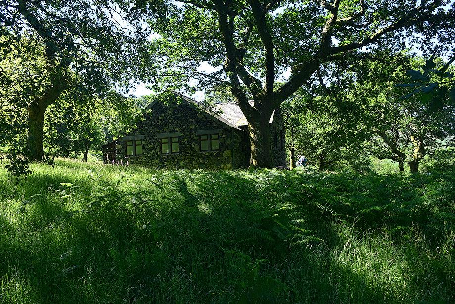 |
| Brackenclose from the permissive path |
 |
| The pemissive path runs alongside Lingmell Gill towards a footbridge where it joins a Right of Way path |
 |
| Lingmell and Scafell Pike across Lingmell Gill |
 |
| The footbridge over Lingmell Gill |
 |
| Looking back from the footbridge over Lingmell Gill |
 |
| Over the footbridge the path rises to a handgate where it is joined by a permissive path which comes up directly from the campsite |
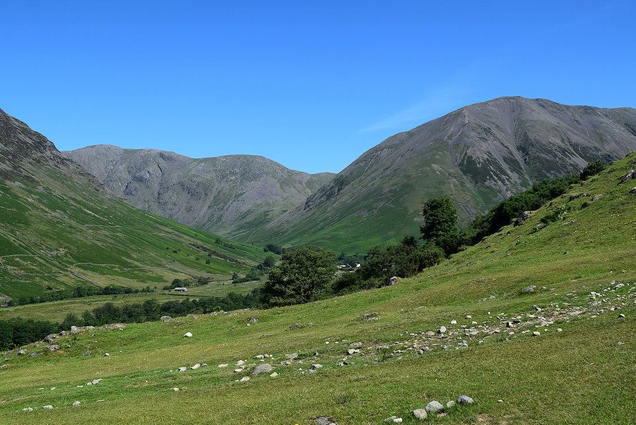 |
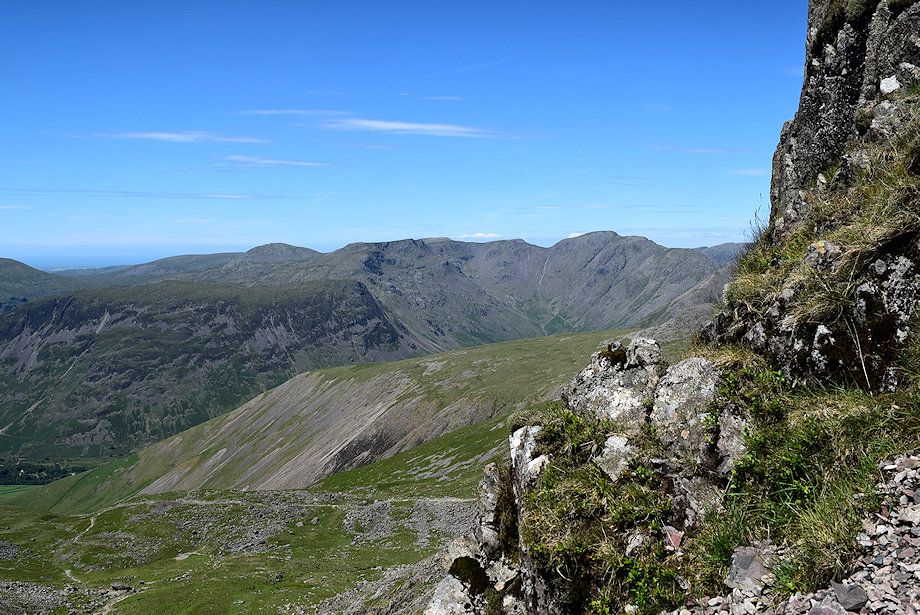
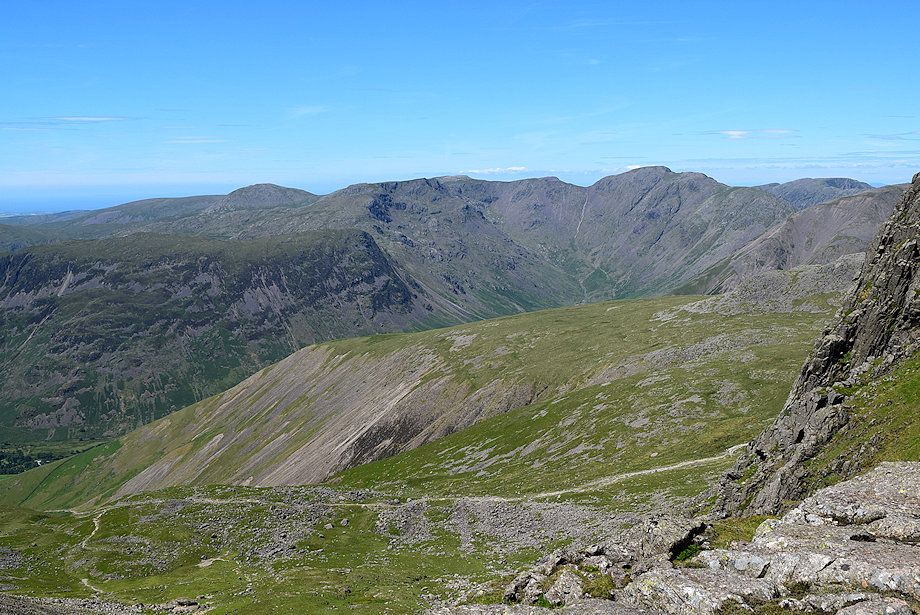
| Looking over towards Pillar and Kirk Fell |
 |
| Scafell Pike and Scafell from the handgate |
 |
| Looking back to Wast Water from the handgate |
 |
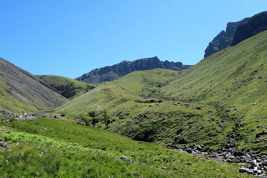
| The path continues alongside the tree shrouded Lingmell Gill towards a handgate in the intake wall |
 |
| Looking back from the path alongside the Lingmell Gill ravine |
 |
| Scafell Pike from Lingmell Gill |
 |
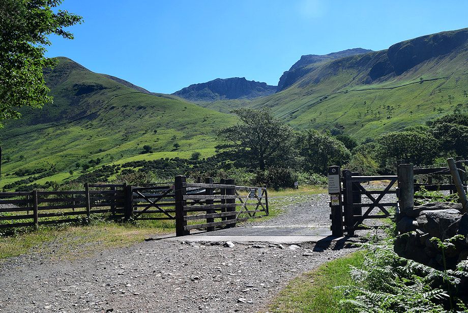
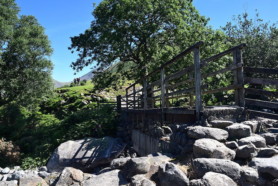
| Shortly before reaching the gate another path joins from the left this one comes up from the large parking area on Wasdale Head Green |
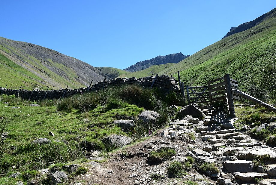 |
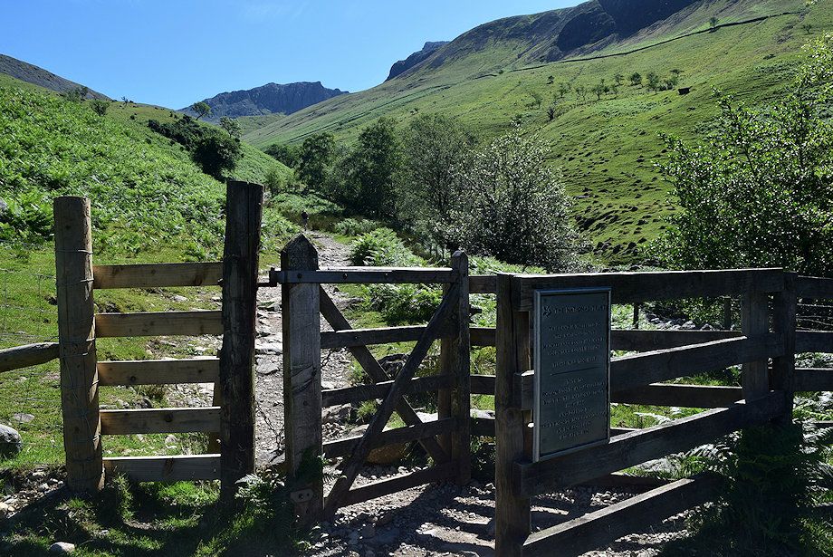
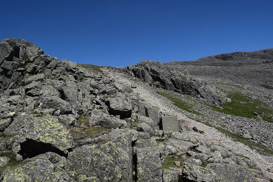
| The gate in the intake wall which gives access to the open fellsides |
 |
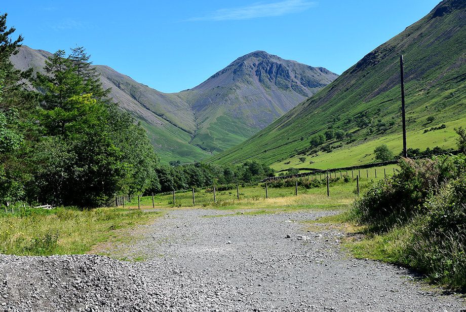
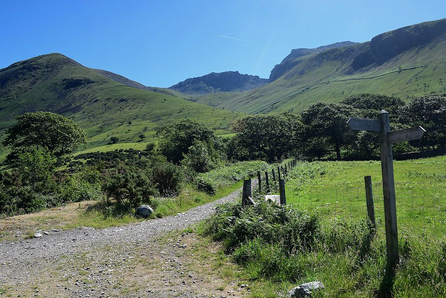
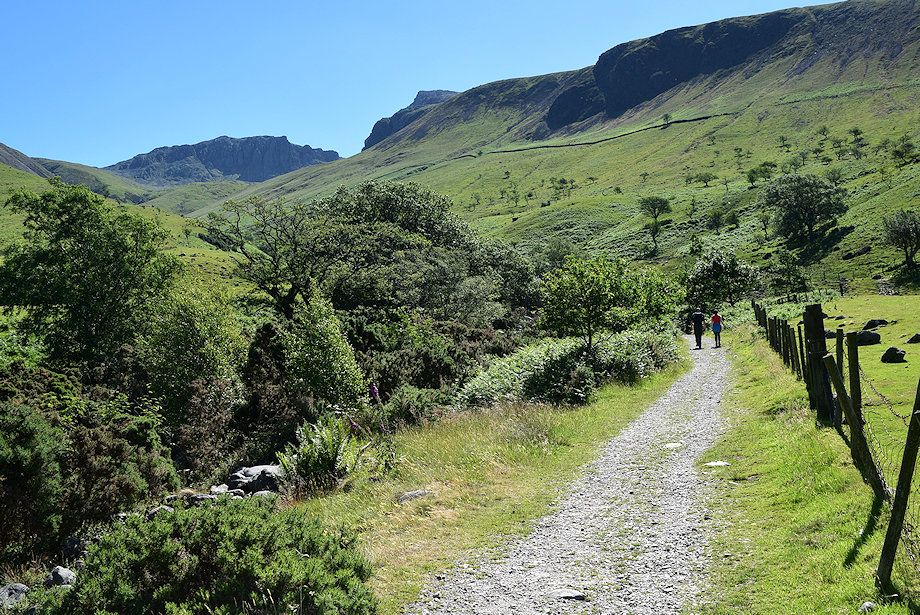
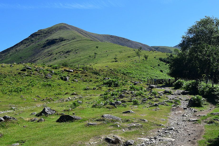
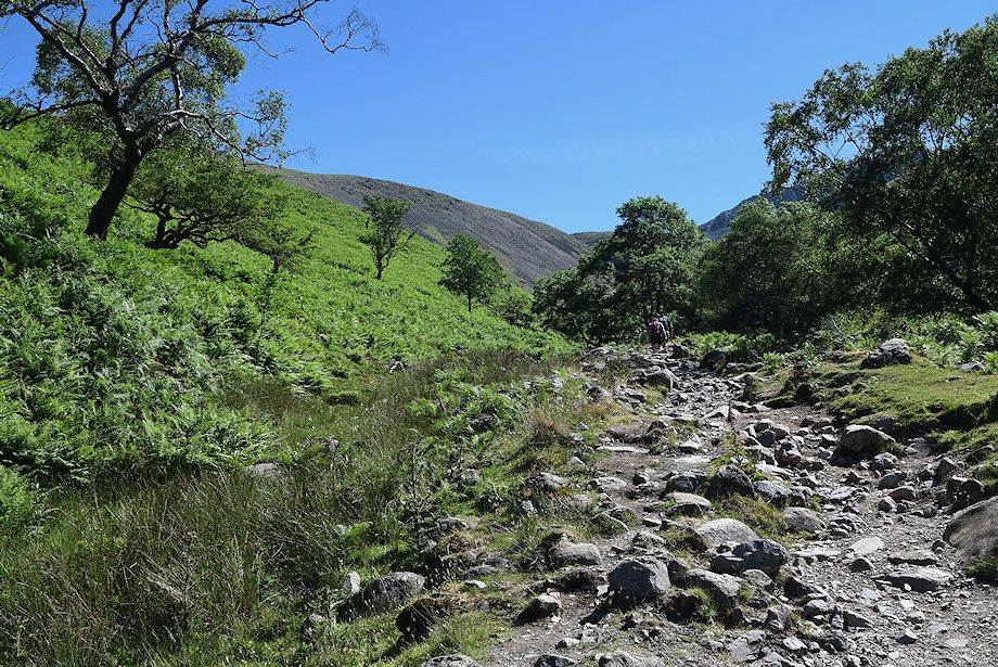
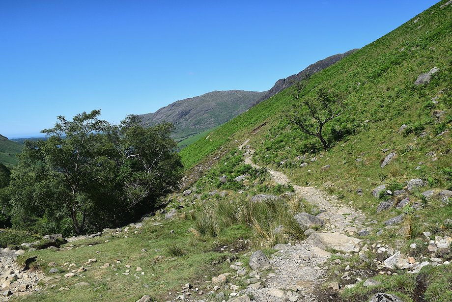
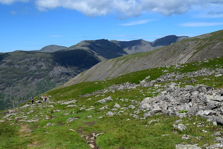
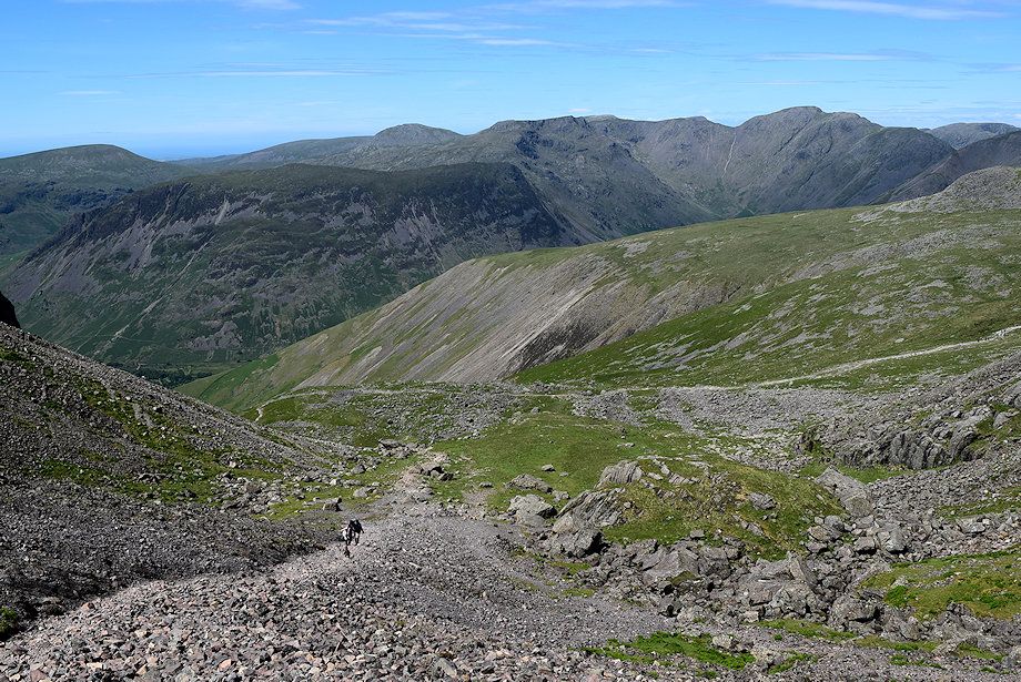
| The path continues to climb steadily towards Brown Tongue |
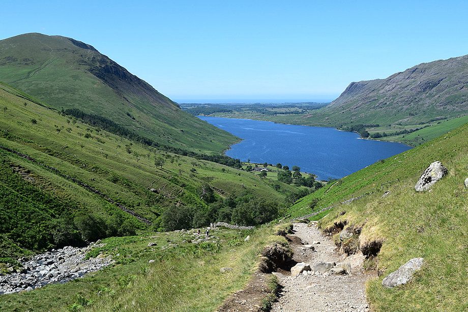 |
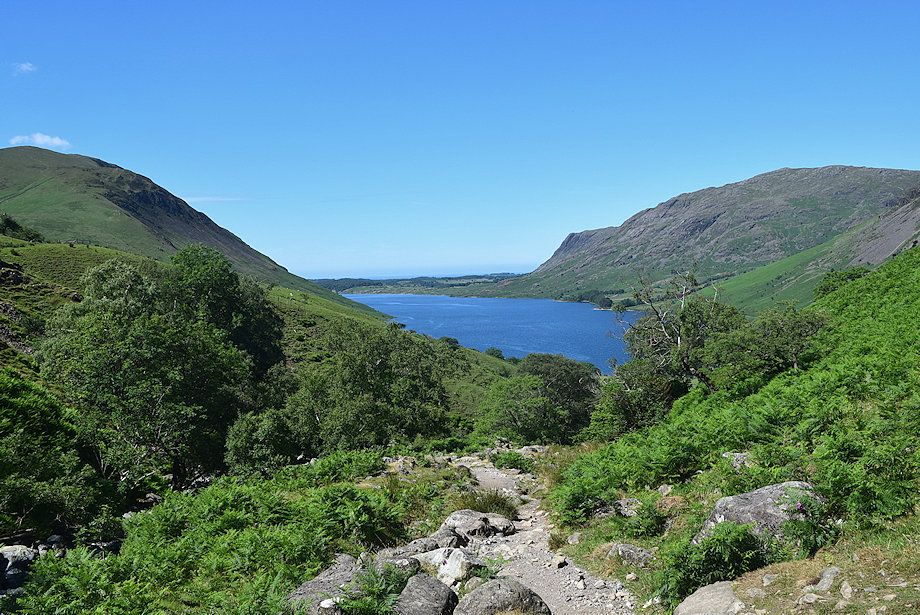
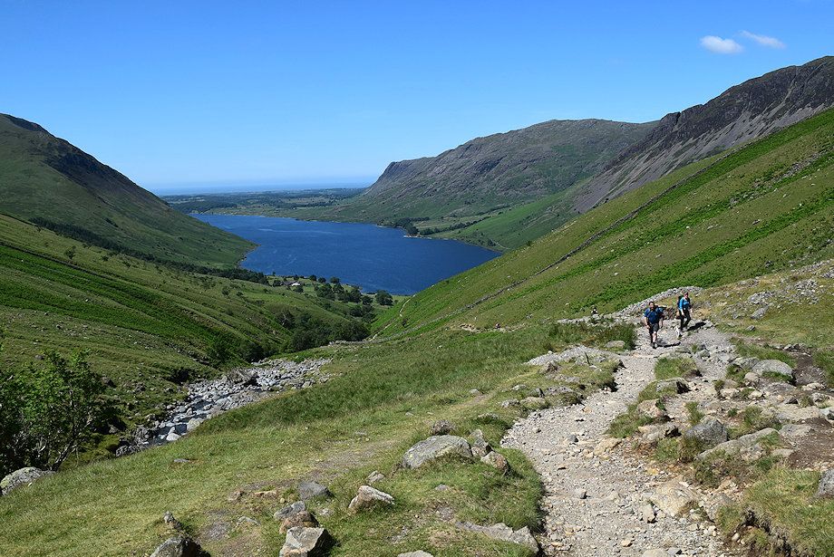
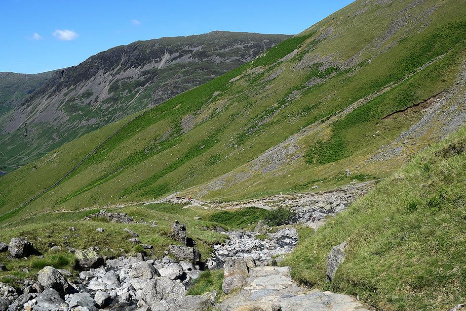
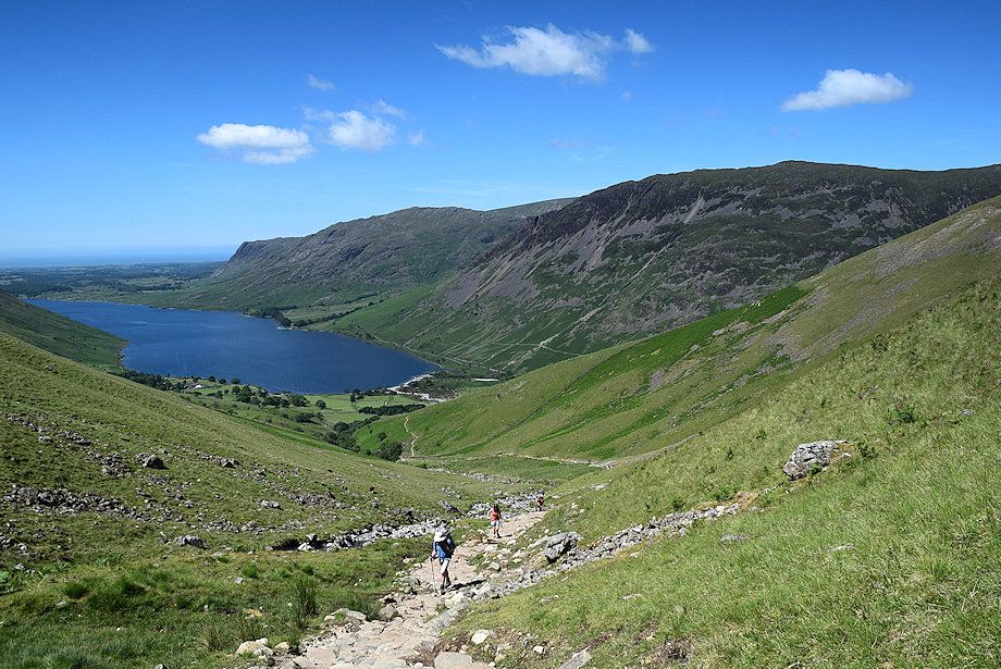
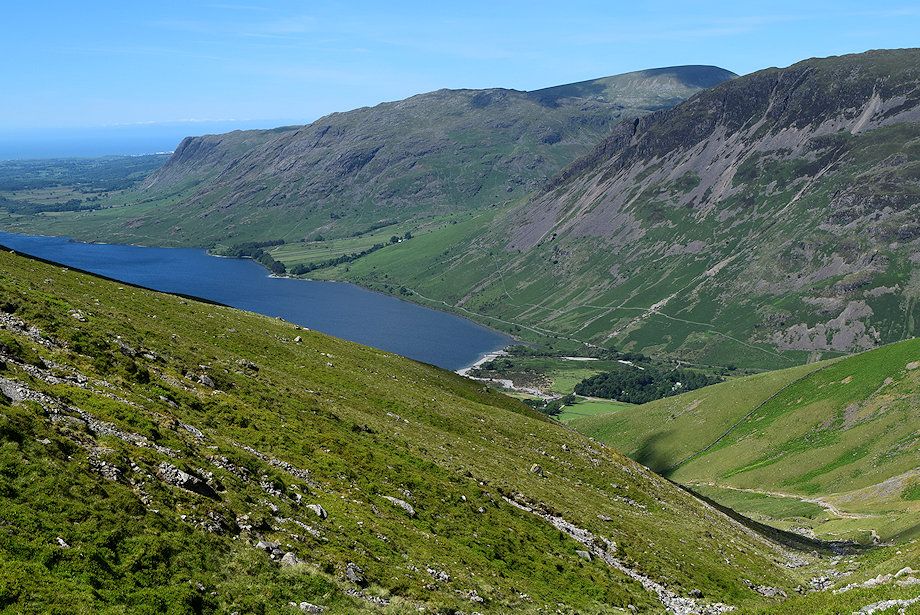
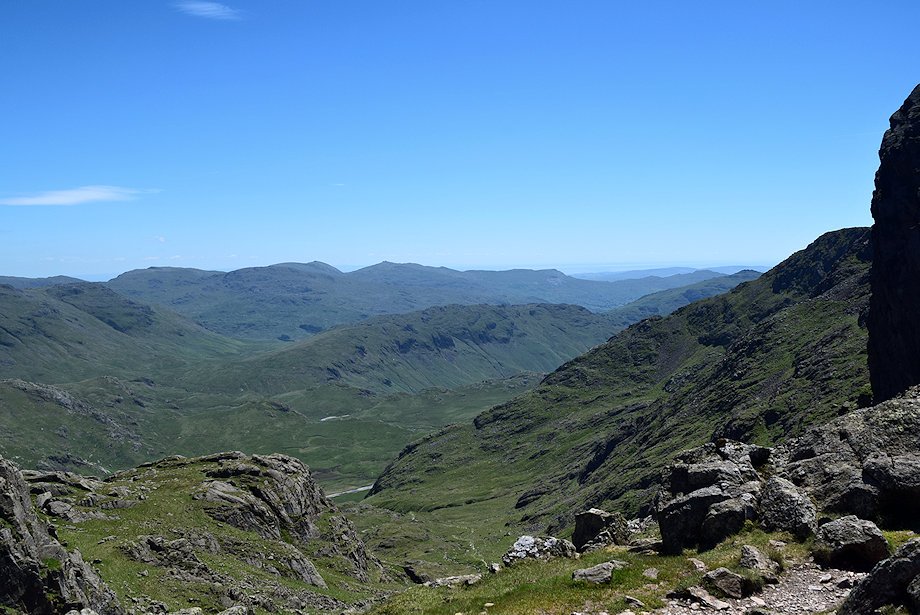
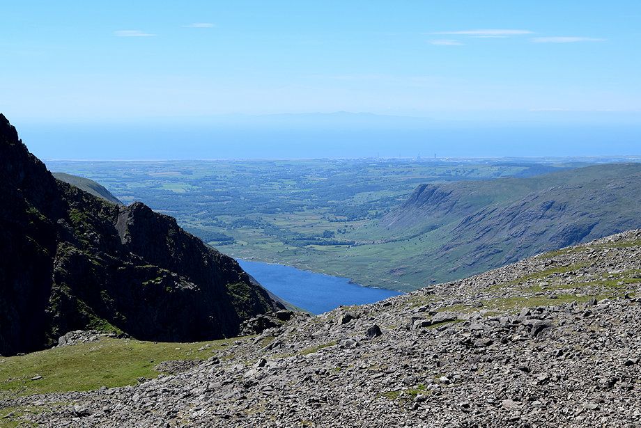
| Looking back to Wast Water flanked by Illgill Head on the left with Buckbarrow and Middle Fell on the right |
 |
| Pikes Crag, Pulpit Rock and Mickledore Buttress over Brown Tongue |
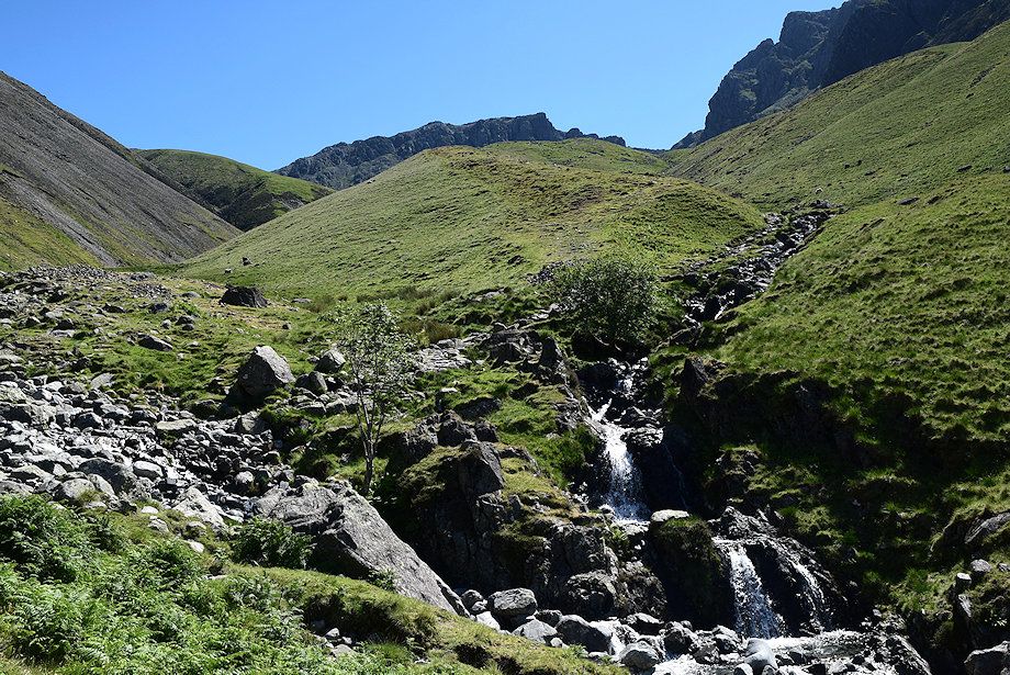 |
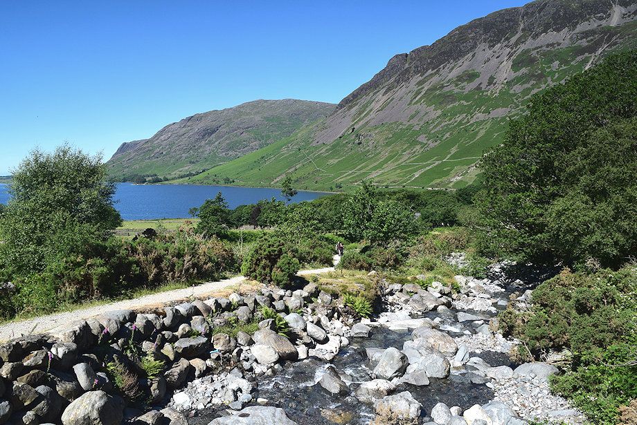
| Lingmell Gill is crossed just beyond its confluence with an unamed stream |
 |
| The crossing point over Lingmell Gill |
 |
| Looking back from the crossing point over Lingmell Gill |
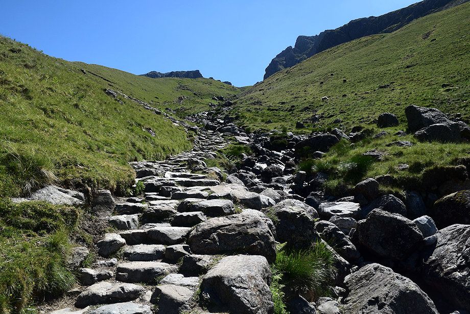 |
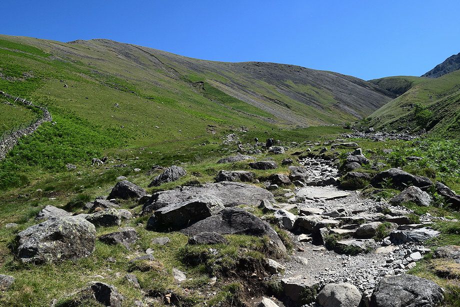
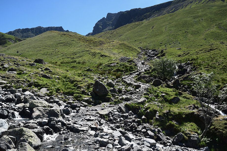
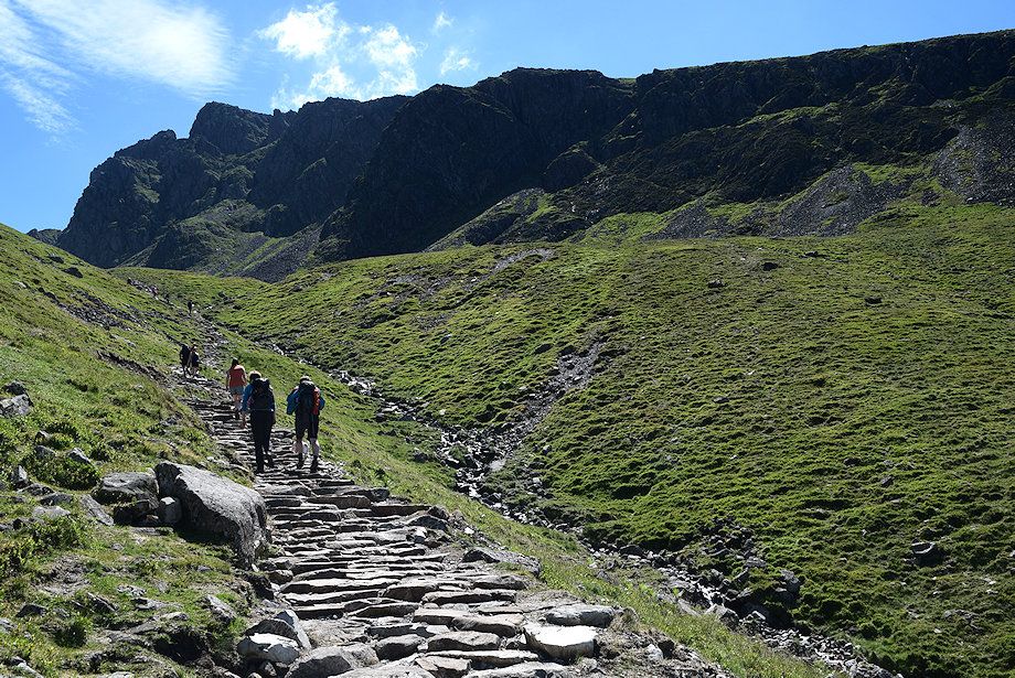
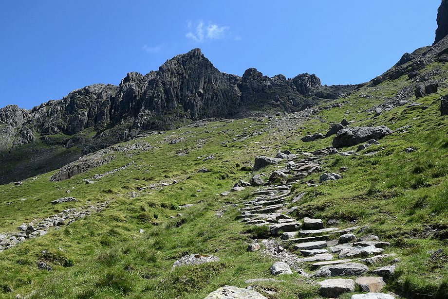
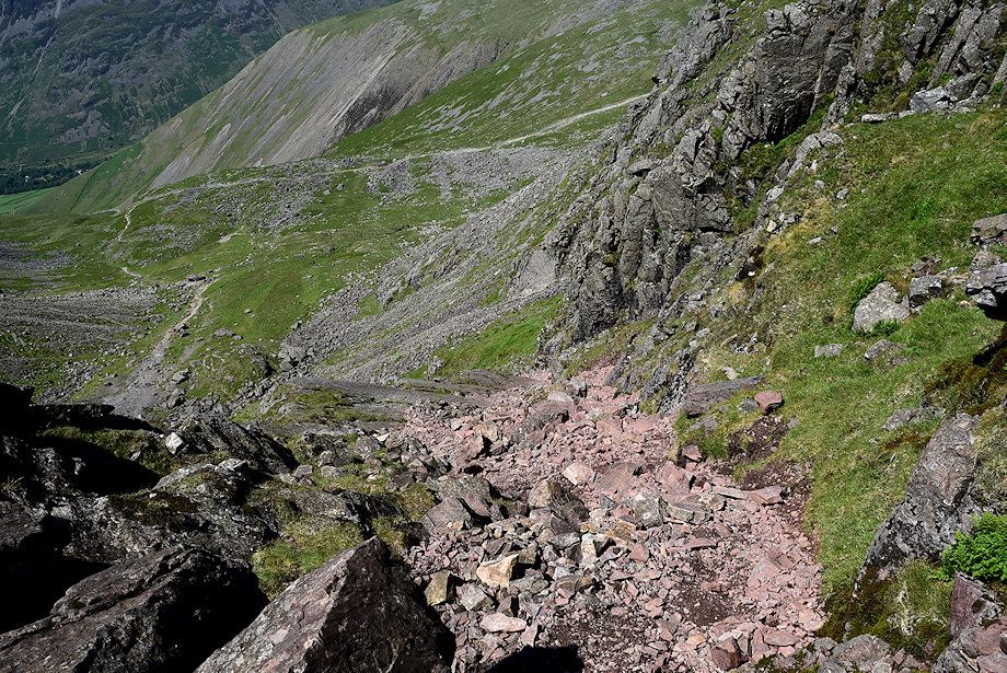
| The path alongside the unamed stream has been extensively stone-pitched to reduce erosion |
 |
| Looking back to the crossing point over Lingmell Gill |
 |
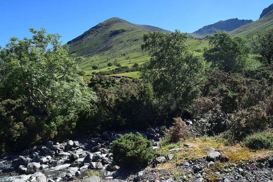
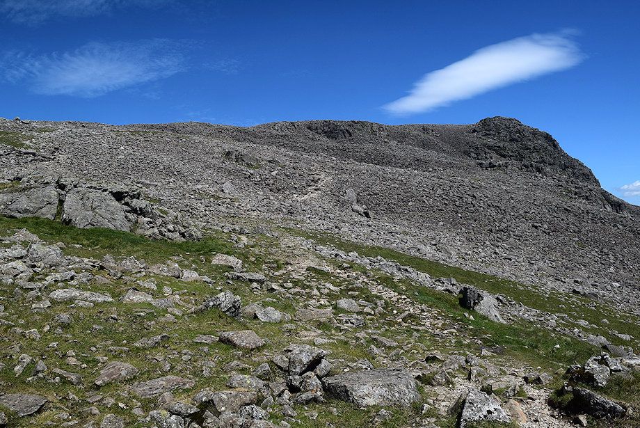
| Scafell Crag and Black Crag from the Brown Tongue path |
 |
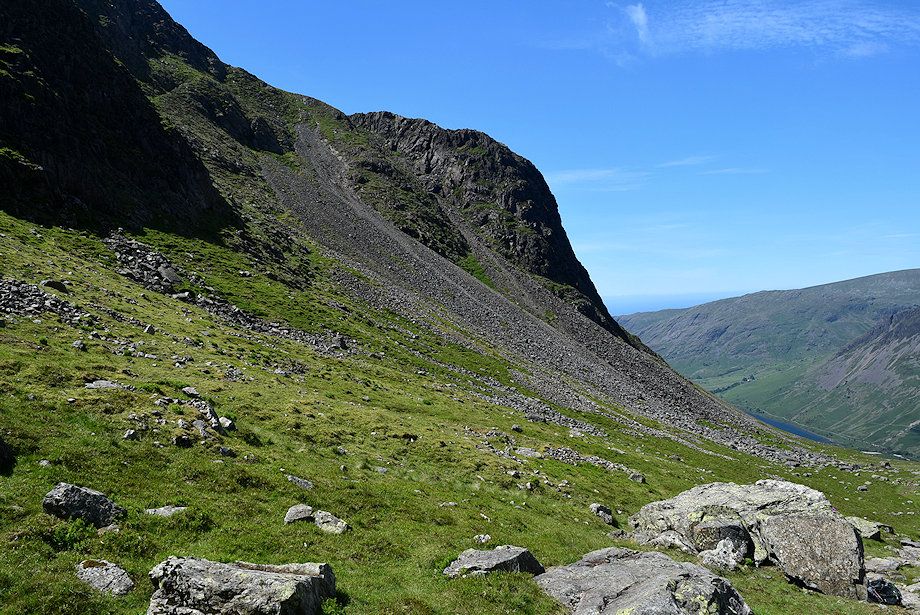
| Looking back across the slopes of Lingmell to Yewbarrow and Red Pike |
 |
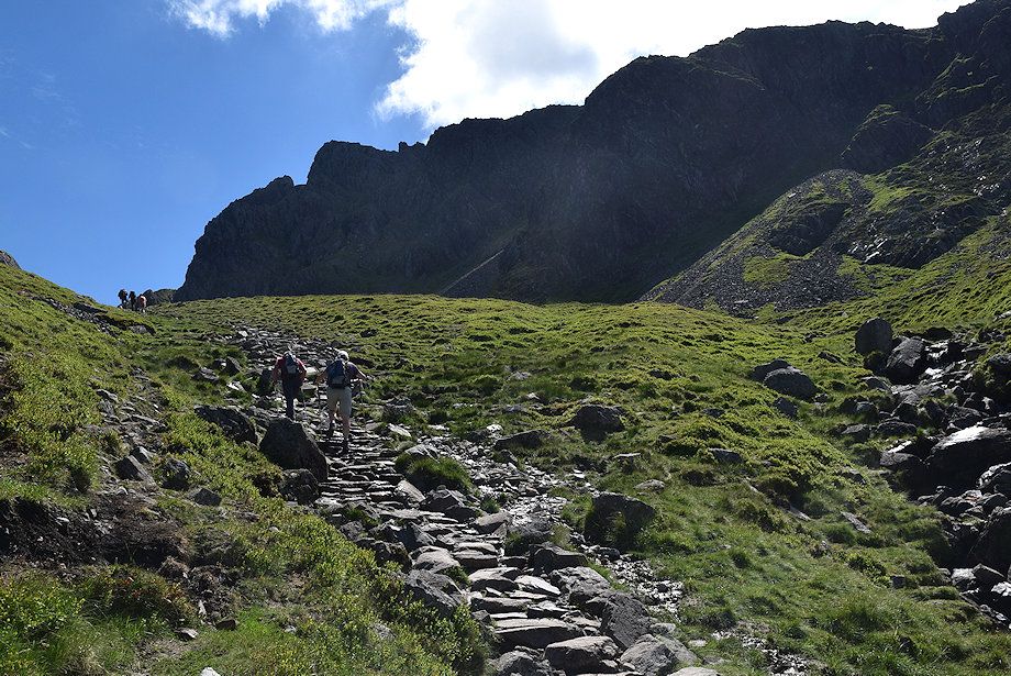
| Higher on the Brown Tongue path |
 |
| Looking back from the Brown Tongue path |
 |
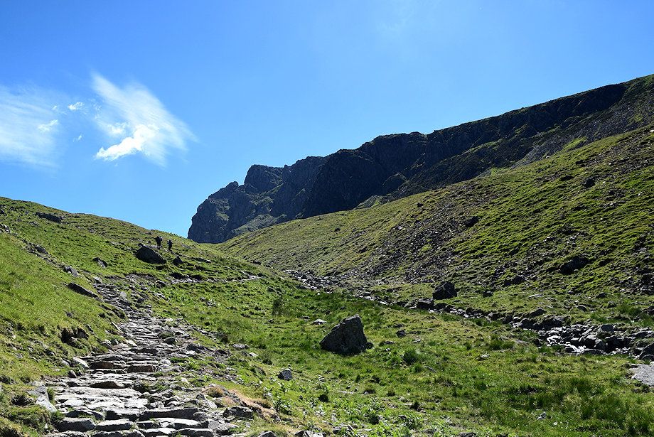
| Approaching the top of Brown Tongue |
 |
| Looking back to Yewbarrow, Haycock, Red Pike and Scoat Fell from near the top of Brown Tongue |
 |
| Wast Water from near the top of Brown Tongue |
 |
| At the top of Brown Tongue the path divides, bear right for Mickledore. The left branch continues via Hollow Stones to ascend Scafell Pike via the north-west ridge, commonly known as the 'tourist path', it's slightly longer but easier than the Mickledore path |
 |
| On the Mickledore path |
 |
| Looking over Hollow Stones to the 'tourist path' which can be seen zig-zagging towards Lingmell Col and the north-west ridge |
 |
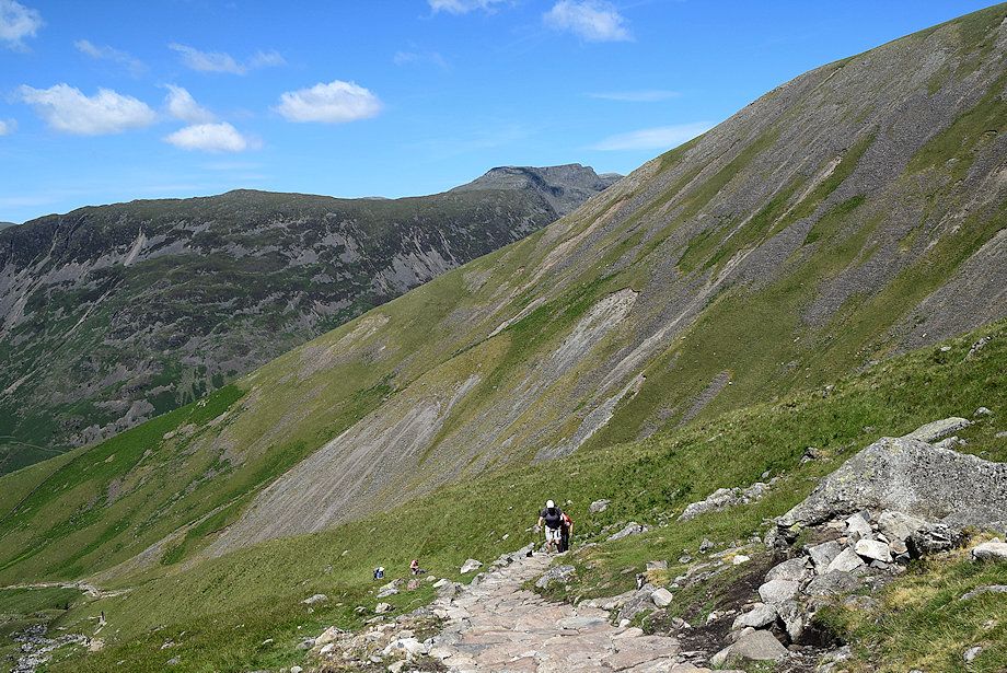
| Looking back to Yewbarrow, Haycock, Red Pike, Scoat Fell, Black Crag and Pillar from the Mickledore path |
 |
| Pikes Crag, Pulpit Rock and Mickledore Buttress ahead |
 |
| Looking over to Scafell Crag from the path to Mickledore |
 |
| Looking back to Rakehead Crag from the Mickledore path |
 |
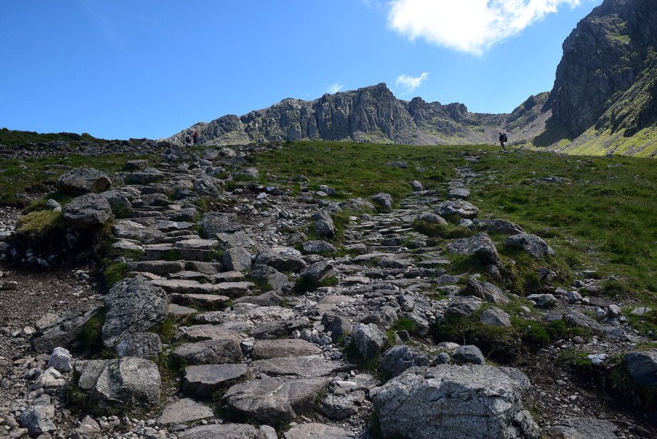
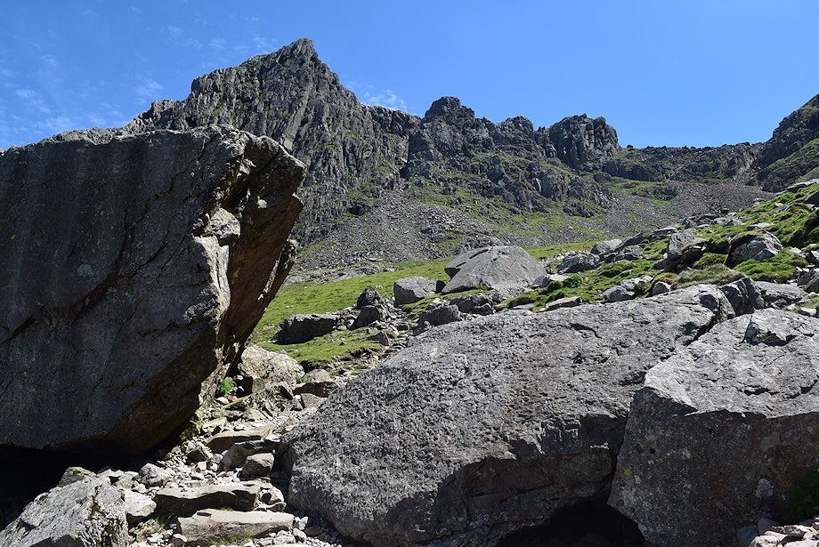
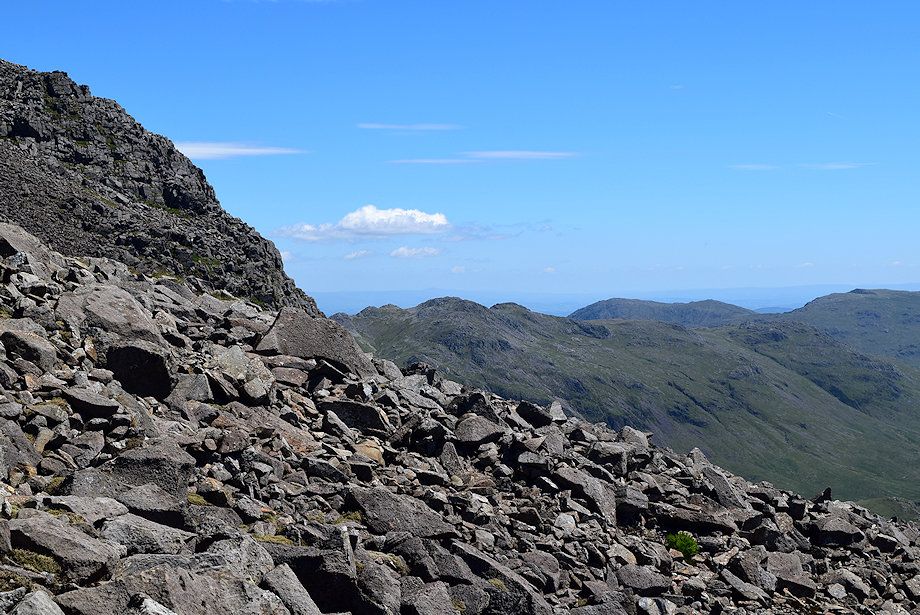
| The stone-pitching resumes as the path climbs more steeply towards an area of boulders |
 |
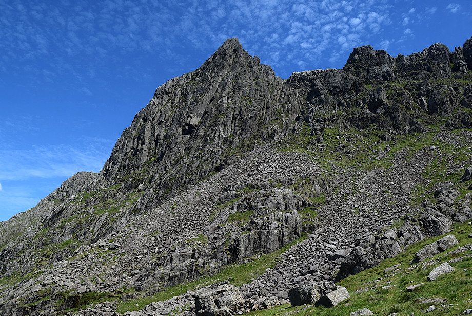
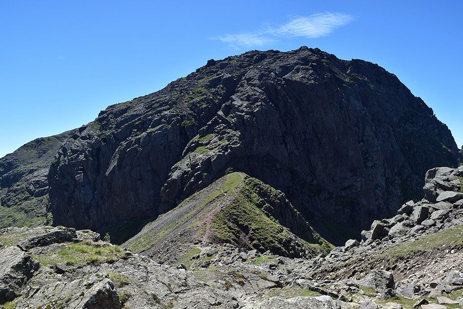
| Pulpit Rock and Mickledore Buttress from the 'big boulder; which AW noted in his diagram of this ascent |
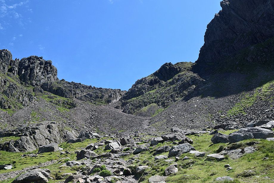 |
| Approaching the scree slope below Mickledore with the Central Buttess of Scafell Crag on the right |
 |
| Looking over to Pulpit Rock and Mickledore Buttress |
 |
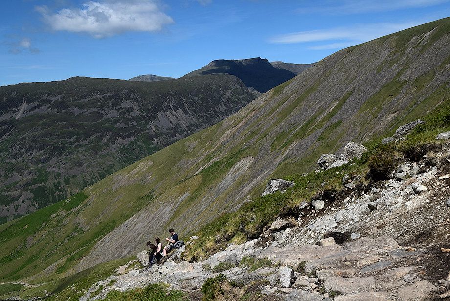
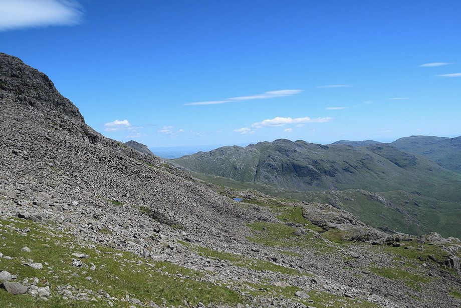
| Looking back from the scree slope |
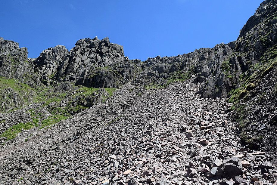 |
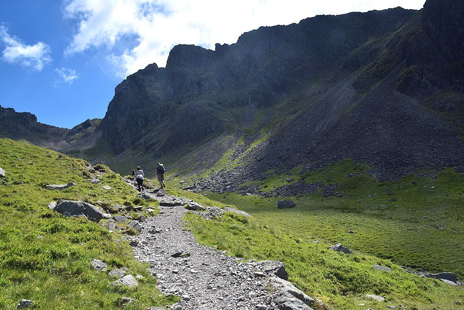
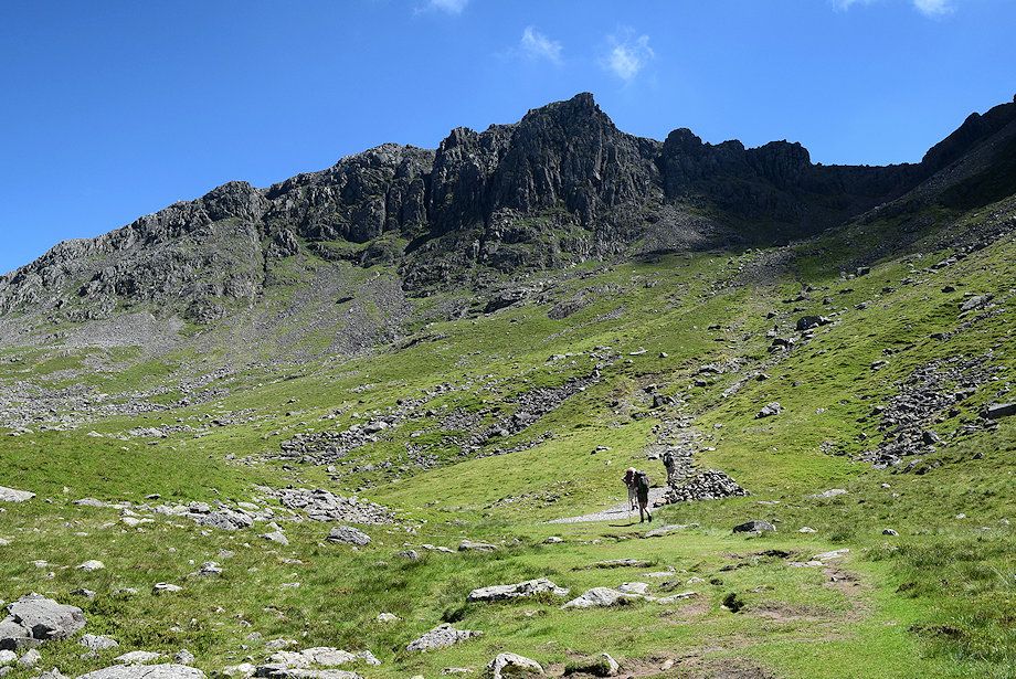
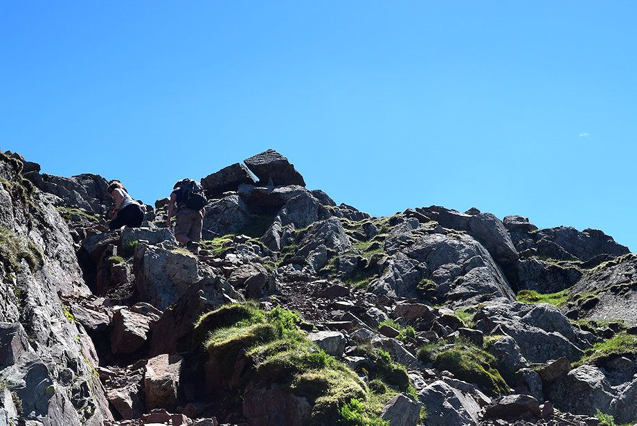
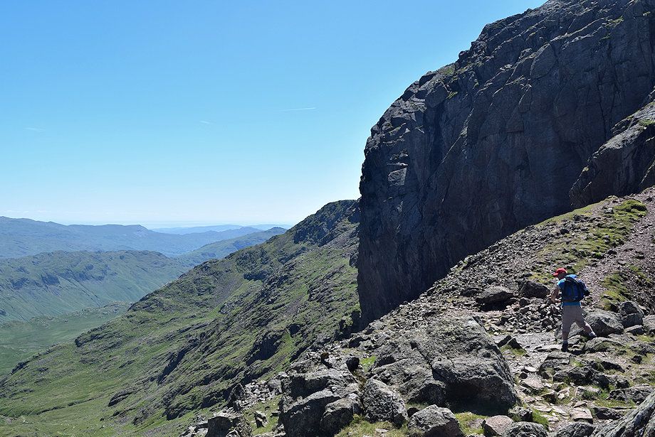
| The usual way to gain the Mickledore ridge is by a steep gully which cuts through the broken crags. The gully is very eroded and unpleasant, it's much better to traverse left from the top of the scree and ascend a path which runs below the end of Mickledore Buttress |
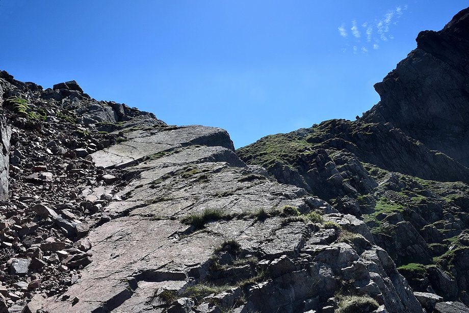 |
| Initially the path runs alongside the side of rock slabs |
 |
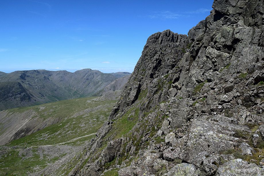
| Looking over to Lord's Rake on Scafell Crag |
 |
| Yewbarrow, Caw Fell, Haycock, Red Pike, Scoat Fell, Black Crag and Pillar across Mickledore Buttress |
 |
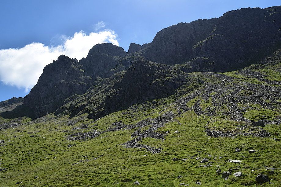
| The upper part of the path leading to Mickledore |
 |
| Looking back on the path which runs below Mickledore Buttress |
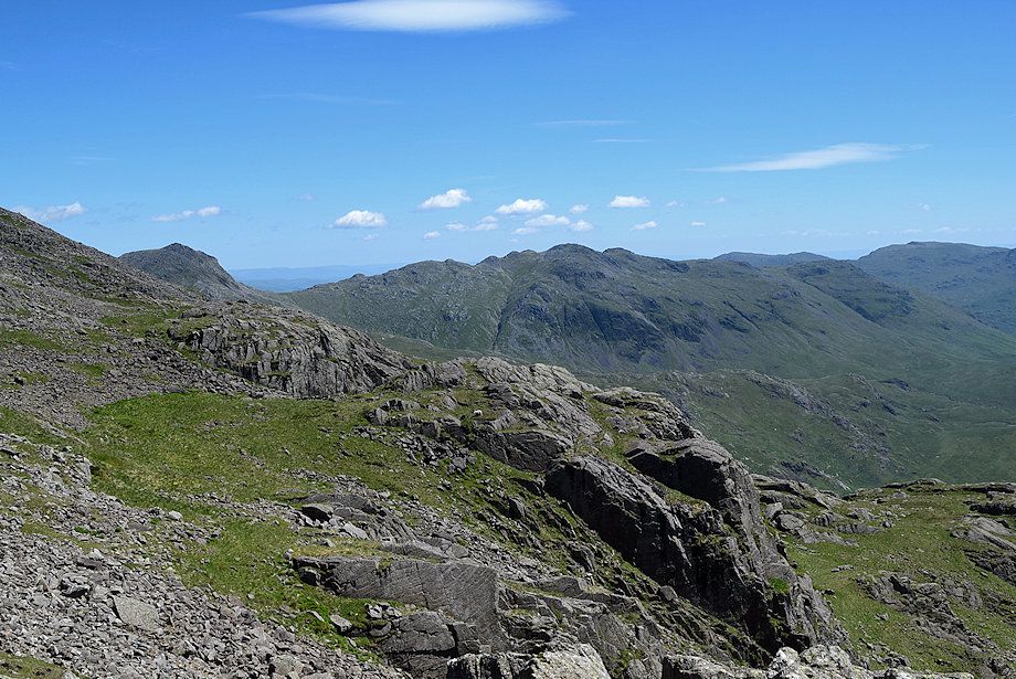 |
| Bowfell and Crinkle Crags from Mickledore |
 |
| The Coniston Fells from Mickledore |
 |
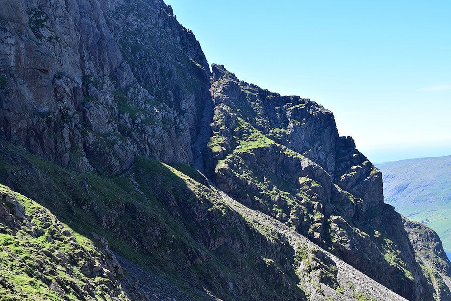
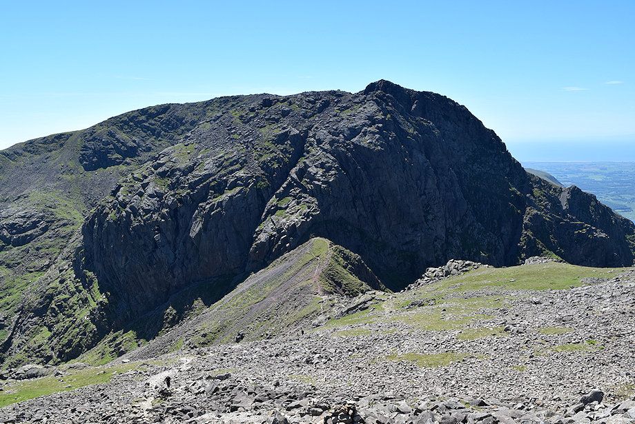
| The East Buttess of Scafell Crag from Mickledore |
 |
| Scafell Crag from Mickledore |
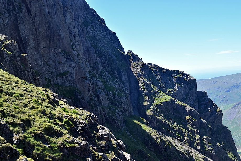 |
| Lord's Rake from Mickledore, the walker standing on the first col helps add a sense of scale |
 |
| Looking north-west from Mickledore to the Mosedale Horseshoe |
 |
| Pulpit Rock across Mickledore Buttress |
 |
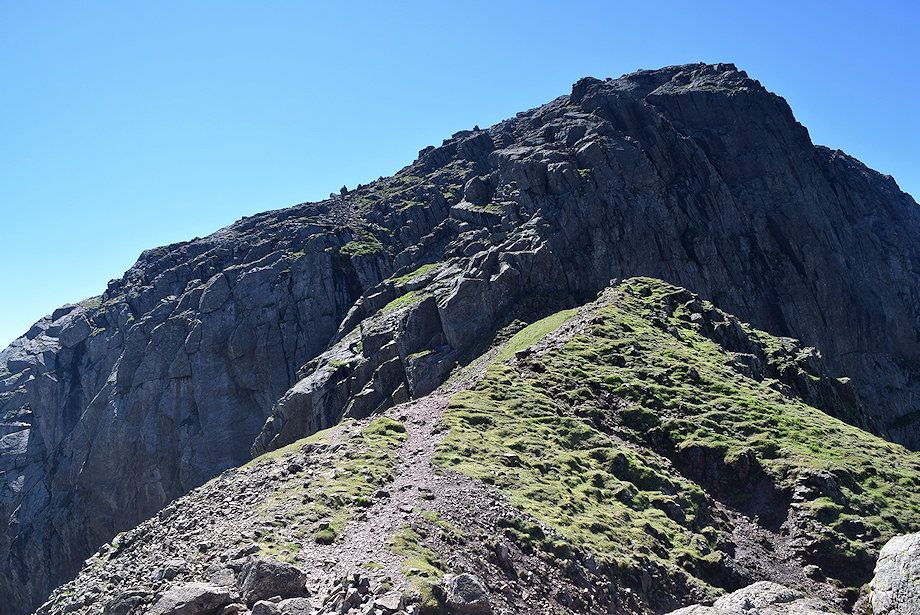
| The path from Mickledore leading up to the summit of Scafell Pike |
 |
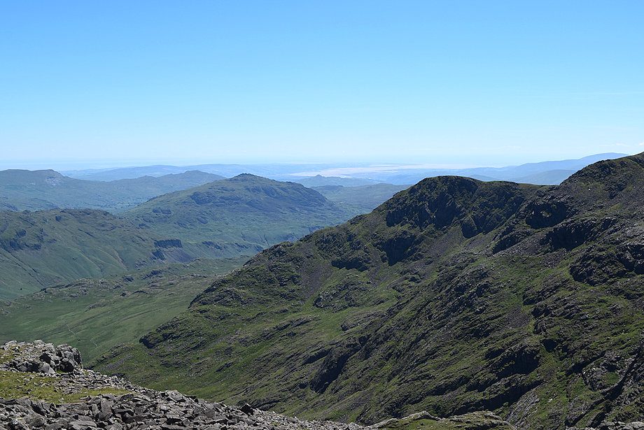
| Looking over to Scafell Pike's south peak which provides a wonderful view of Eskdale |
 |
| Looking back to Scafell Crag above Mickledore |
 |
| Broadcrag Tarn, the highest tarn in the Lake District, comes into view |
 |
| Harter Fell and the Duddon Estuary across Scafell's Camcrag ridge |
 |
| Crinkle Crags across the slopes of the south peak |
 |
| Looking down on Nether Wasdale |
 |
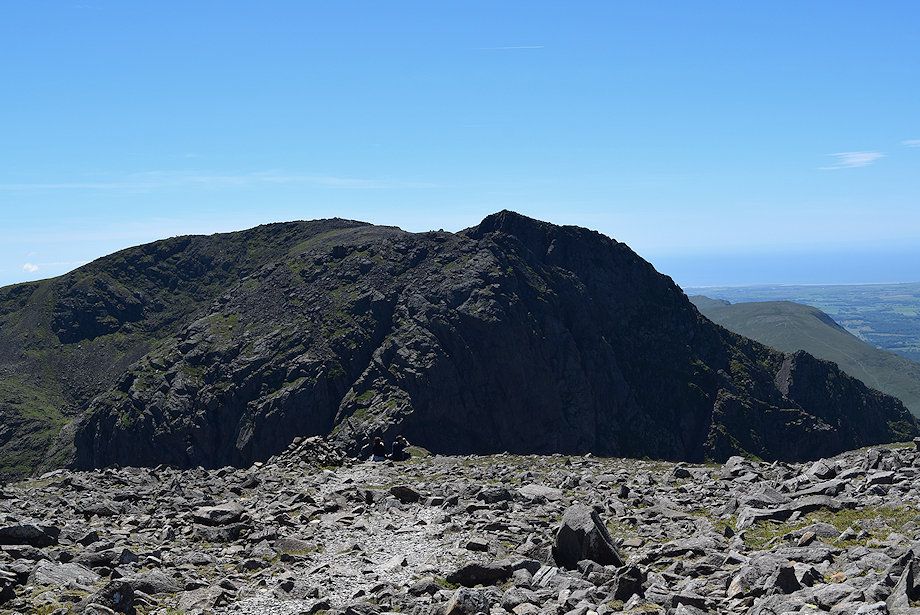
| Looking back to Mickledore and Scafell Crag |
 |
| The summit of Scafell Pike comes into view |
 |
| The summit of Scafell now in view |
 |
| The Mickledore path re-unites with the 'tourist path' at a marker cairn |
 |
| Looking over to Skiddaw from the 'tourist path' |
 |
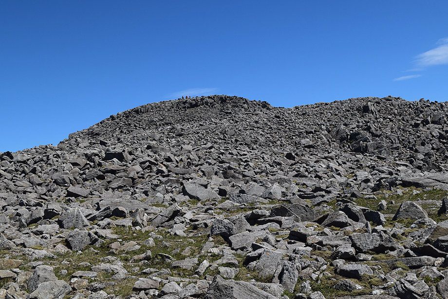
| The final slope leading up to the summit |
 |
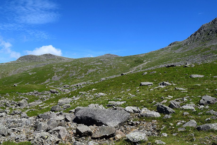
| Looking over to the fells encircling Mosedale |
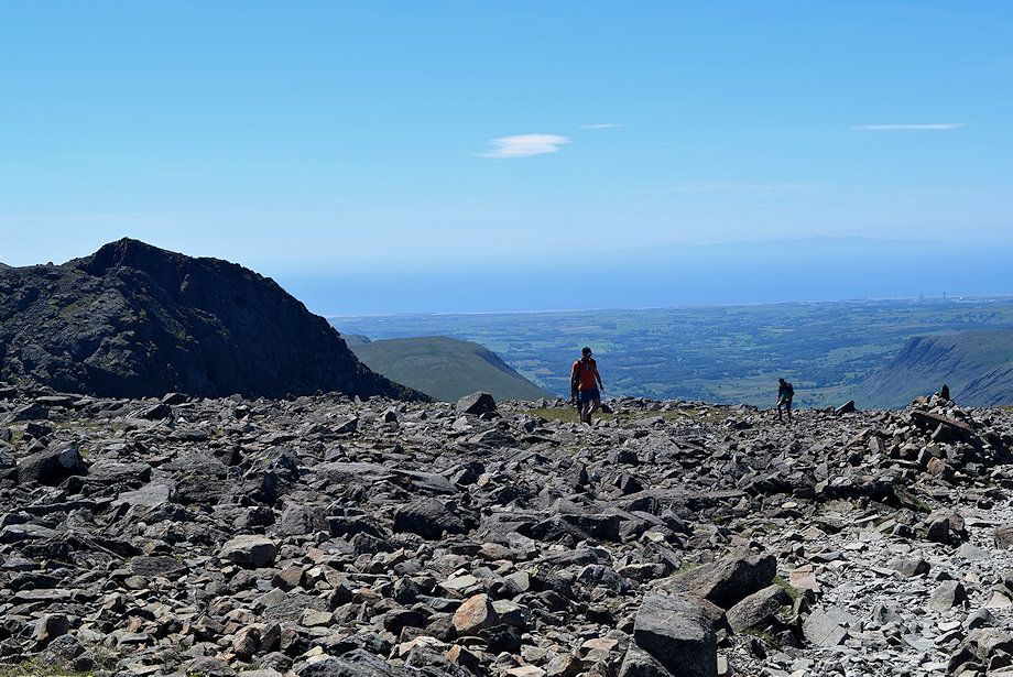 |
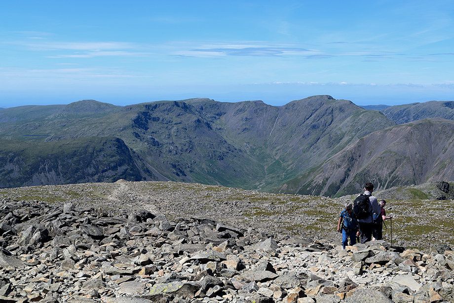
| Walkers ascending the path from Miickledore and about to join the 'tourist path' |
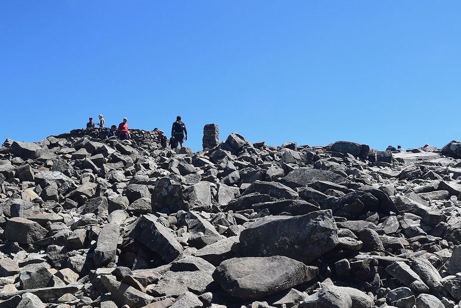 |
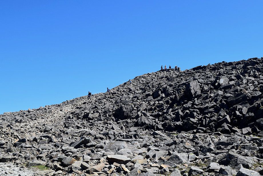
| Approaching the summit of Scafell Pike |
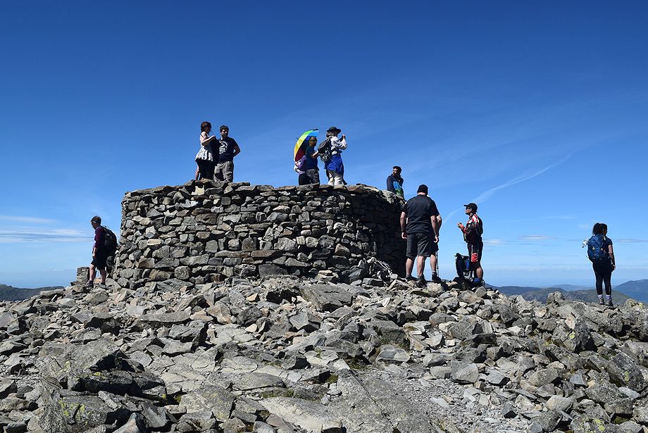 |
| The summit cairn on Scafell Pike |
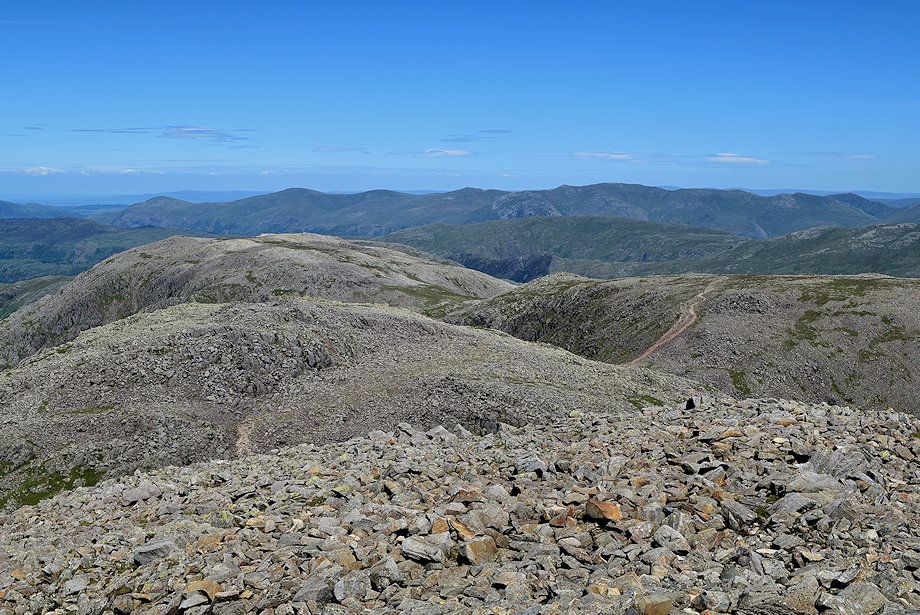 |
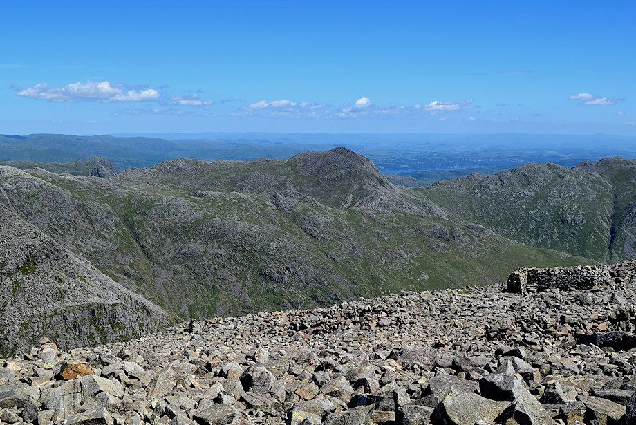
| Looking north-east over the summits of Broad Crag, Ill Crag and Great End to the Helvellyn range |
 |
| Bowfell from the summit of Scafell Pike |
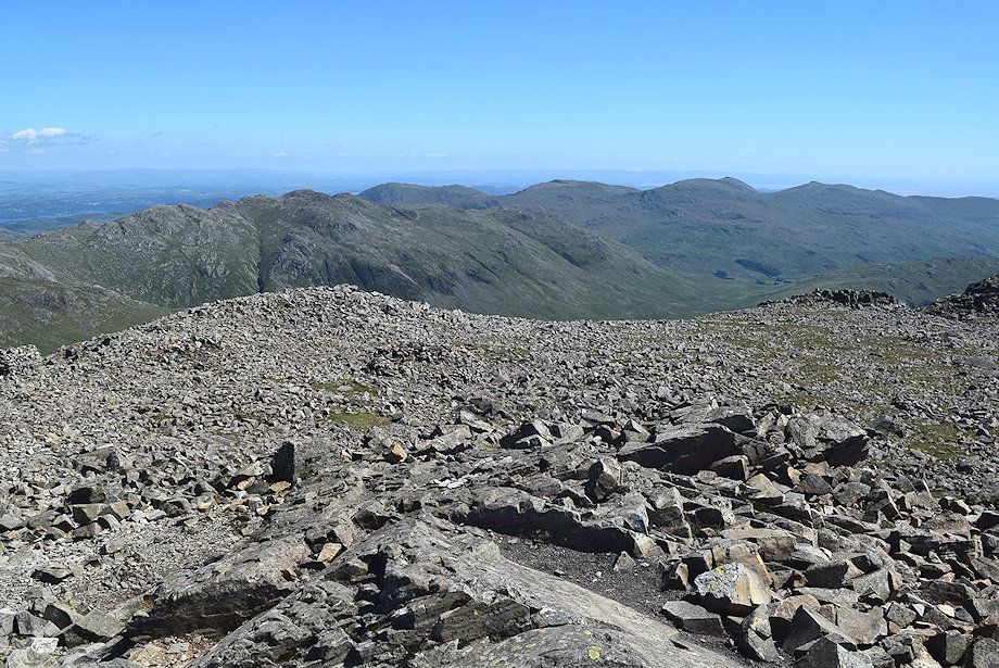 |
| Crinkle Crags and the Coniston Fells from the summit of Scafell Pike |
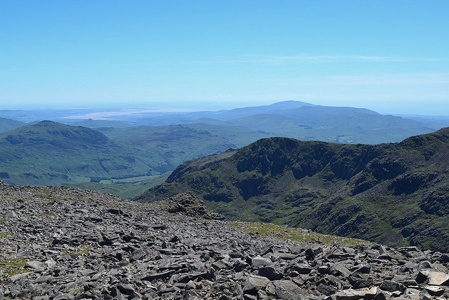 |
| Black Combe over Camcrag Ridge with Harter Fell on the left |
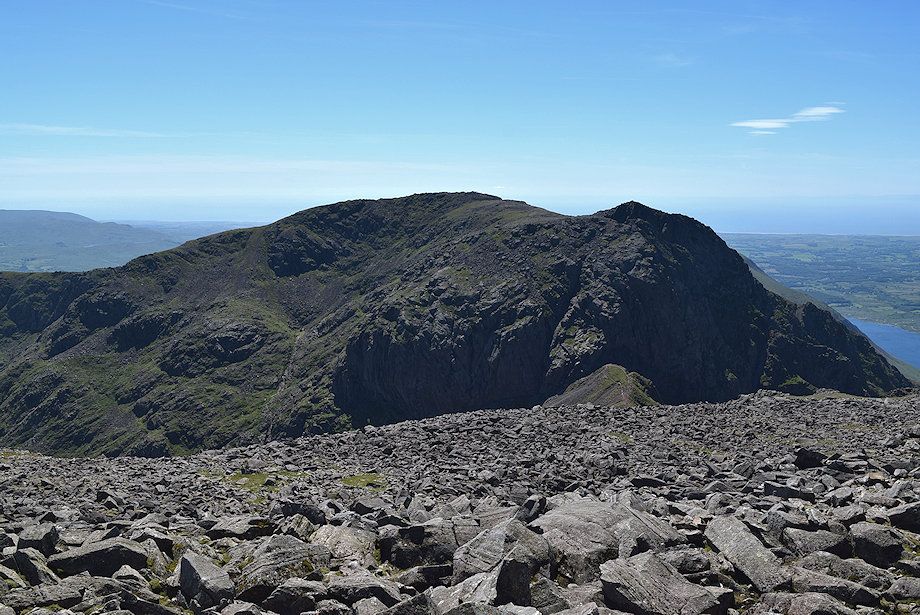 |
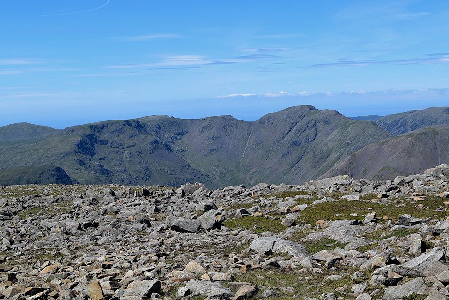
| Scafell from the summit of Scafell Pike |
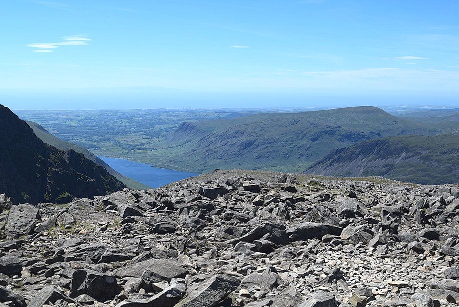 |
| Wast Water from the summit of Scafell Pike |
 |
| Caw Fell, Haycock, Red Pike, Scoat Fell, Black Crag and Pillar from the summit of Scafell Pike |
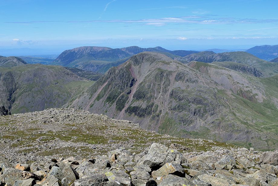 |
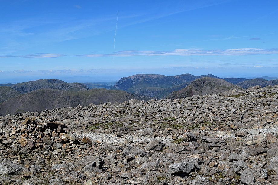
| Great Gable backed by the North Western Fells from the summit of Scafell Pike |
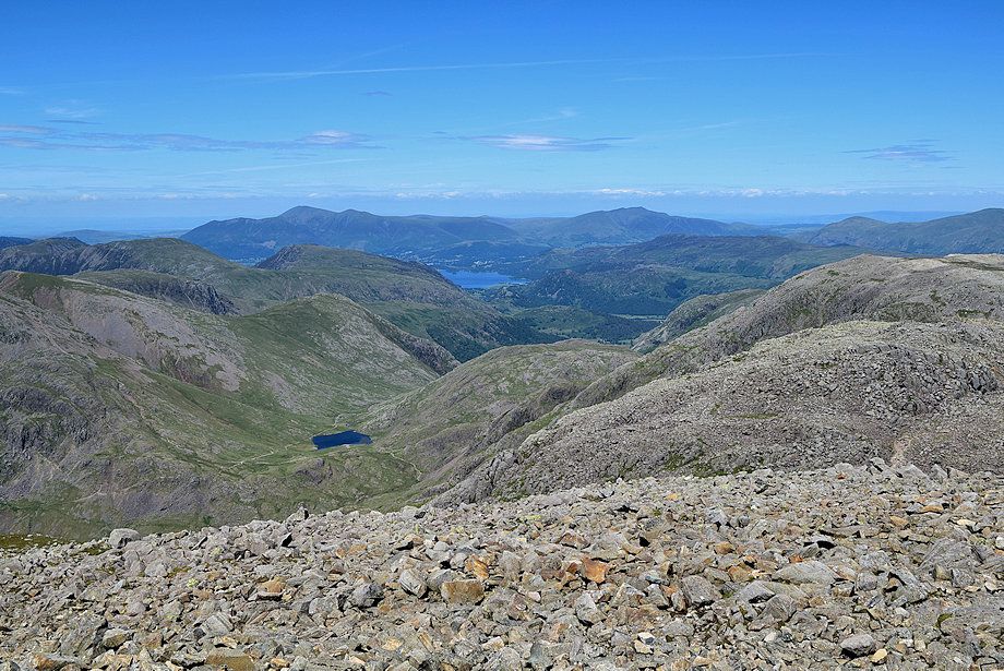 |
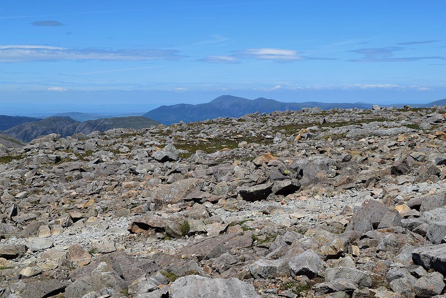
| Looking north to Skiddaw and Blencathra from the summit of Scafell Pike |
