 |
| The small informal car park by Church Bridge is the starting point for this walk |
 |
| The start of the Garburn Road a few hundred yards south of Church Bridge |
 |
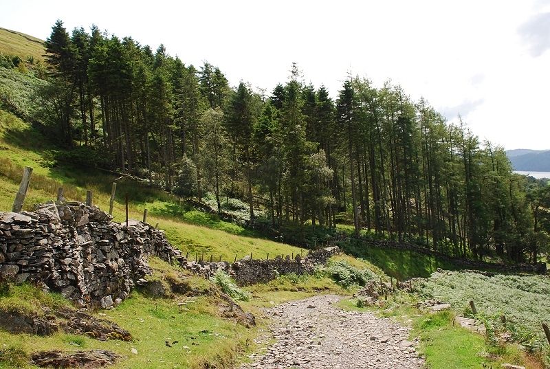
| The road rises steeply between high walls as it passes behind the buildings of The Howe |
 |
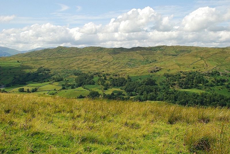
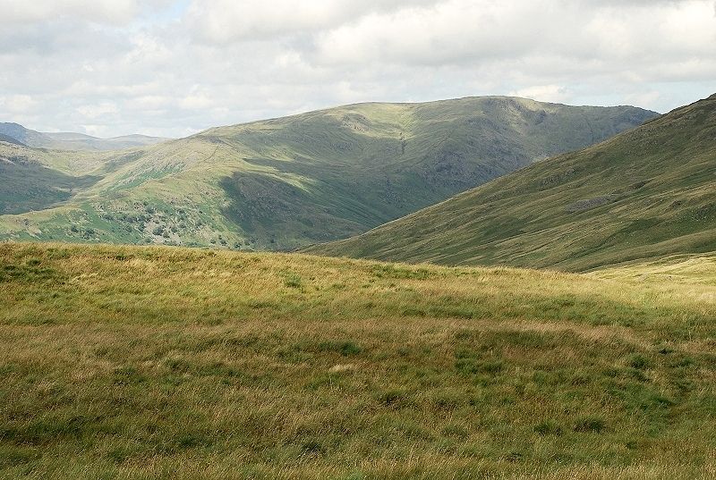
| After climbing a few hundred feet the view opens out to the Ill Bell ridge |
 |
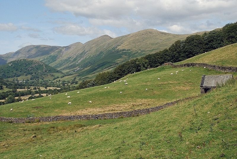
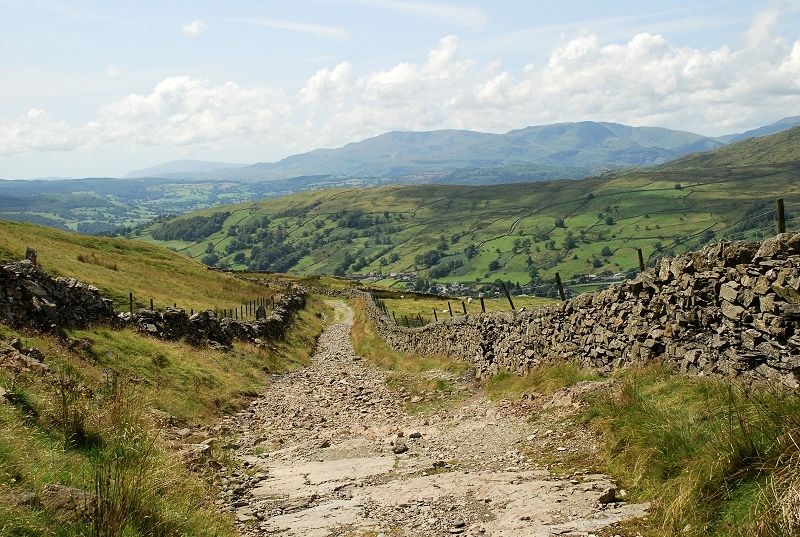
| The road is an old packhorse trade route between Troutbeck and Kentmere |
 |
| Gaining height above Troutbeck Park |
 |
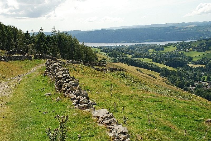
| Looking back to Windermere from just above the point where the Dubbs Road joins the Garburn Road |
 |
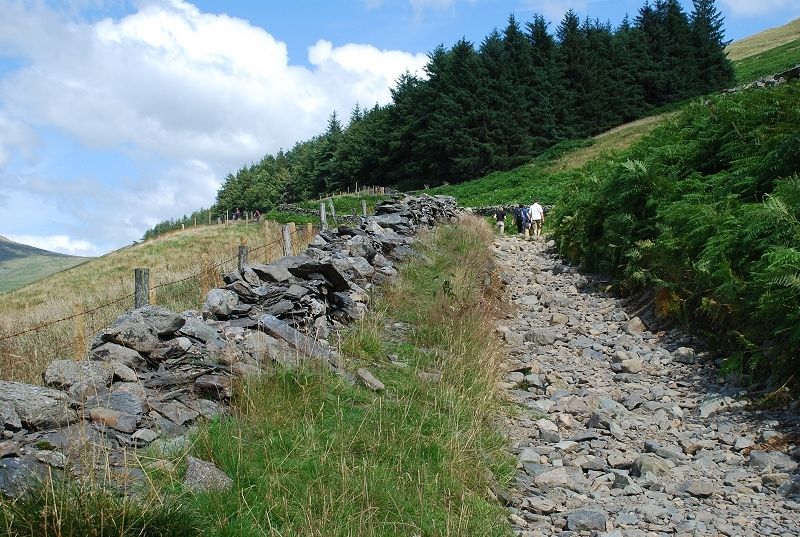
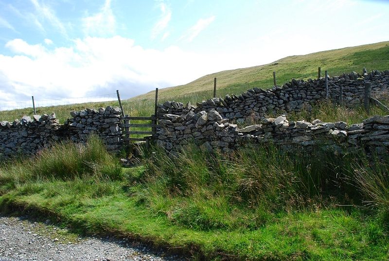
| The gate below the disused Applethwaite Quarry |
 |
| Looking back to the tree shrouded Applethwaite Quarry |
 |
| Looking over the edge of the road to Troutbeck Park |
 |
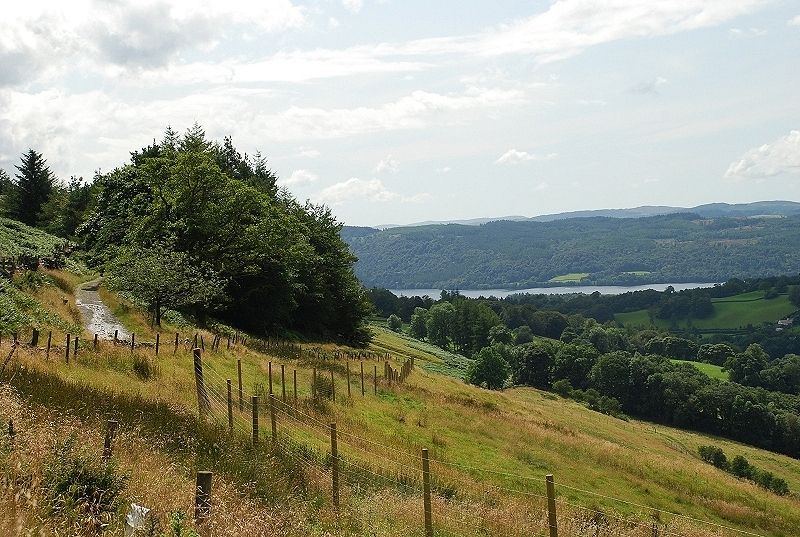
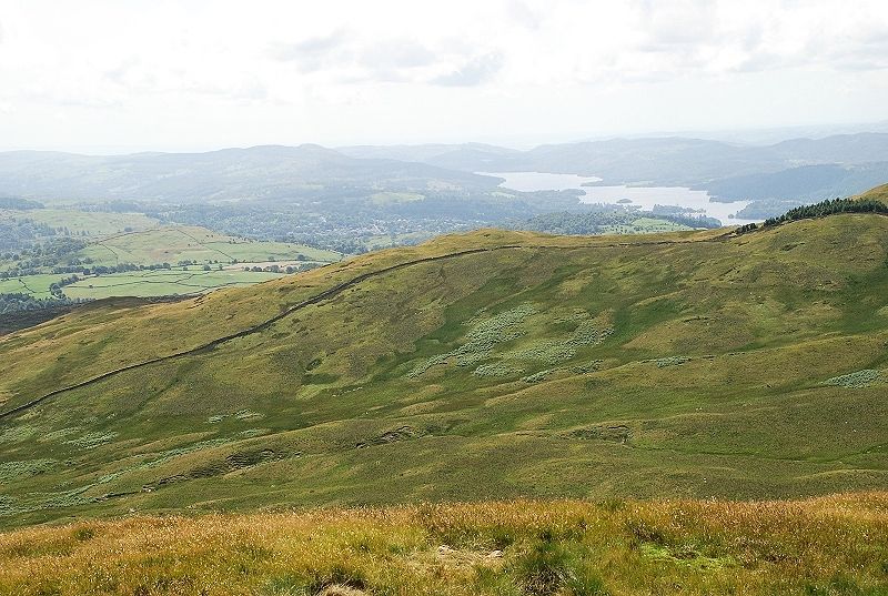
| Windermere from above Applethwaite Quarry |
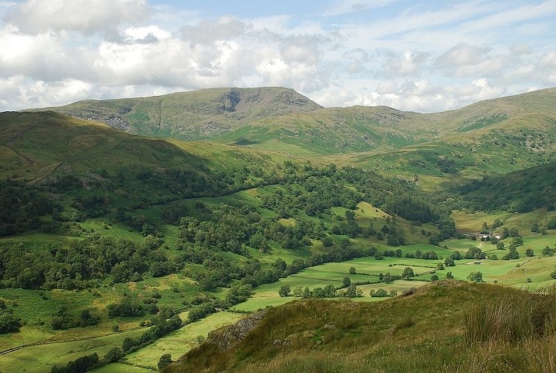 |
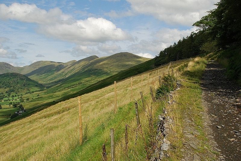
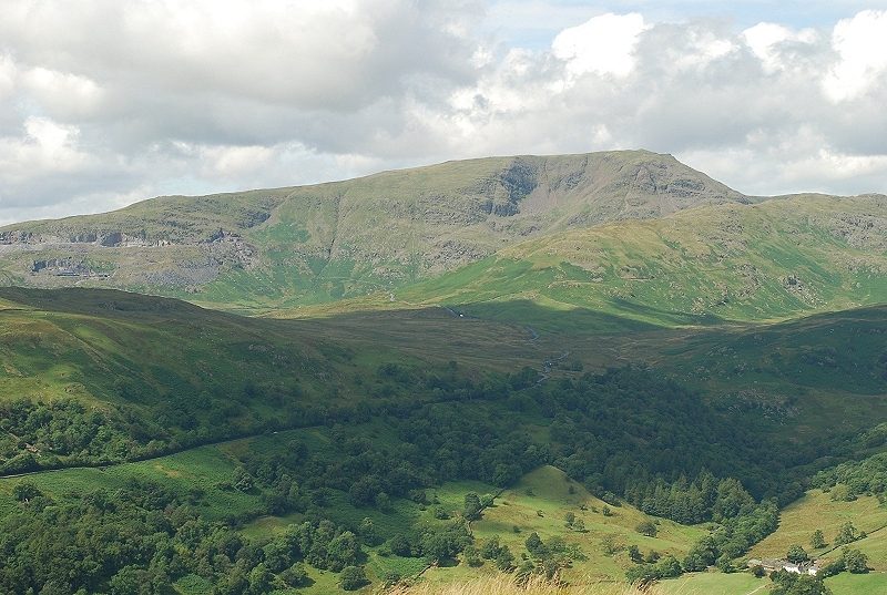
| Red Screes and St. Raven's Edge leading to Caudale Moor. The objective, Sallows, does not appear until the summit of the road is almost reached so the main interest of the walk is the views over the Troutbeck valley |
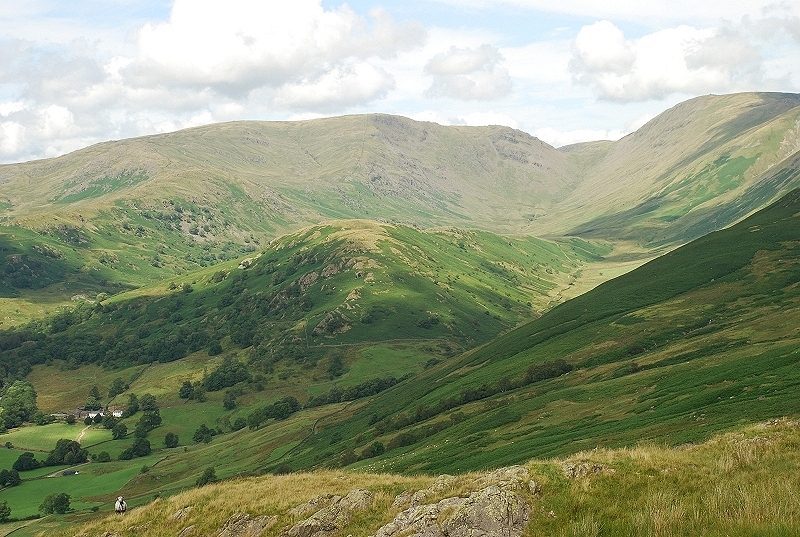 |
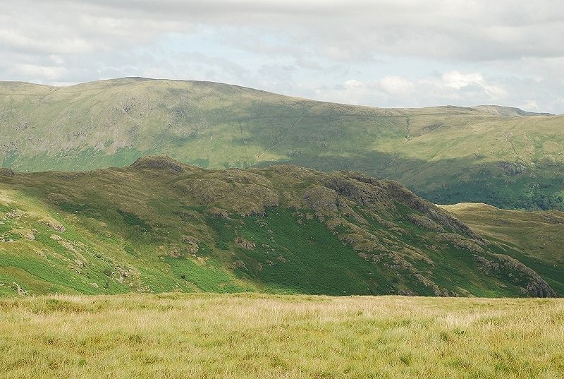
| The Tongue backed by Caudale Moor |
 |
| Looking across the valley to the long ridge of Wansfell |
 |
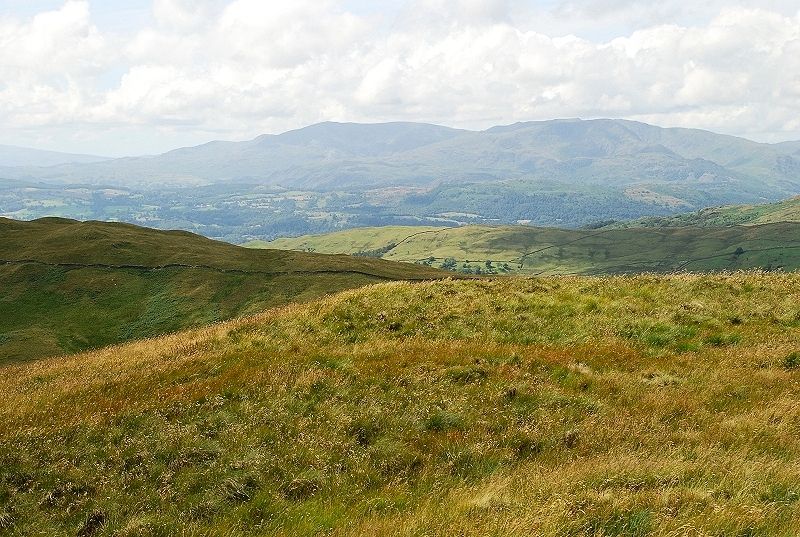
| The Coniston fells |
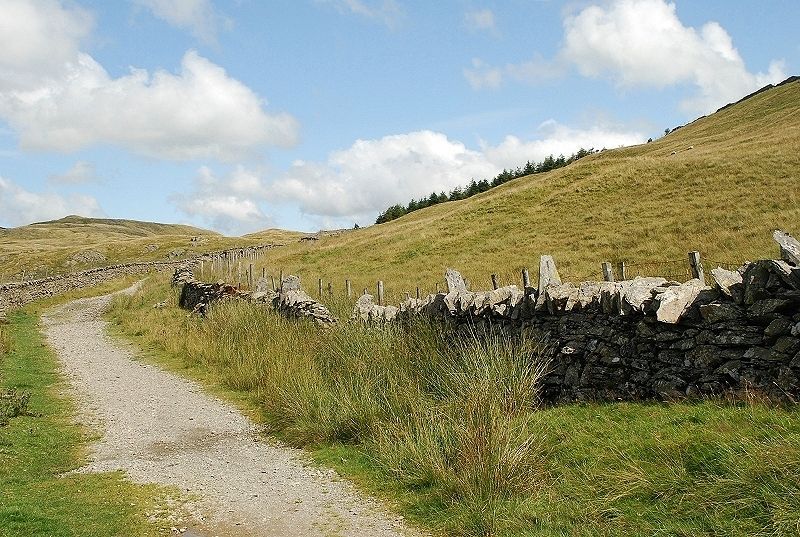 |
| Getting near the summit of the road |
 |
| A closer view of Red Screes |
 |
| The top of the road is just beyond the small plantation of conifers |
 |
| At the top end of the plantation a simple stile gives access to the open fellside |
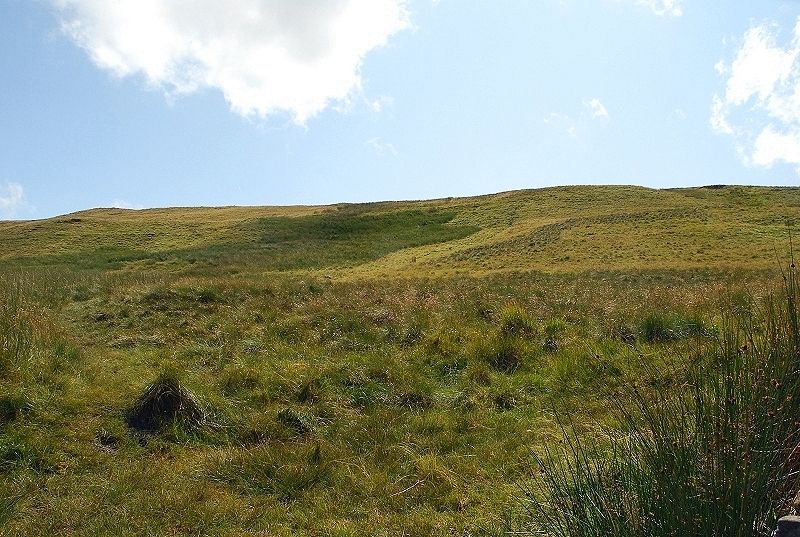 |
| A faint path over tussocky grass climbs directly from the stile, or more easily follow the wall to gain the ridge line west of the summit |
 |
| Looking back from the climb by the wall to the Garburn Road |
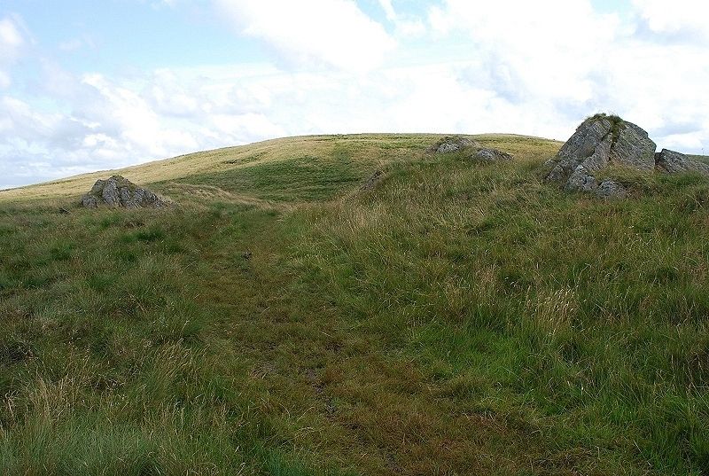 |
| The slope above the wall from the small outcrops of rocks AW mentioned in his notes on the summit |
 |
| Approaching the summit |
 |
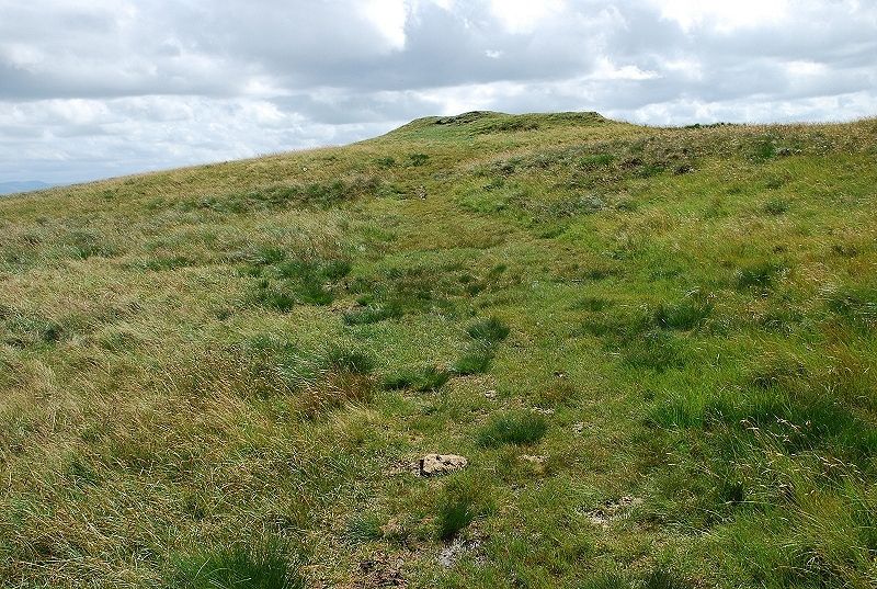
| The "curious" summit mound Sallows - page 3 |
 |
| Windermere to the south-west |
 |
| Sour Howes across the upper valley of Park Beck |
 |
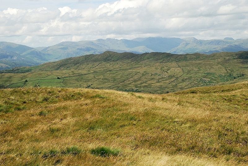
| The Coniston fells |
 |
| Wansfell Pike backed by Crinkle Crags |
 |
| Red Screes |
 |
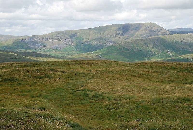
| Caudale Moor |
 |
| Due north, the ridge leading toYoke rising from the summit of the Garburn Road |
 |
| Buck Crag with Harter Fell on the centre skyline |
 |
| Castle Crag with Kentmere Pike on the leftward skyline |
