
|
Saint Sunday Crag - Route One |
|
Start - Bridgend NY 399 145 |
Distance - 2.8 miles |
Ascent - 2,260 feet |
Time - 2 hours : 15 minutes |
|
|
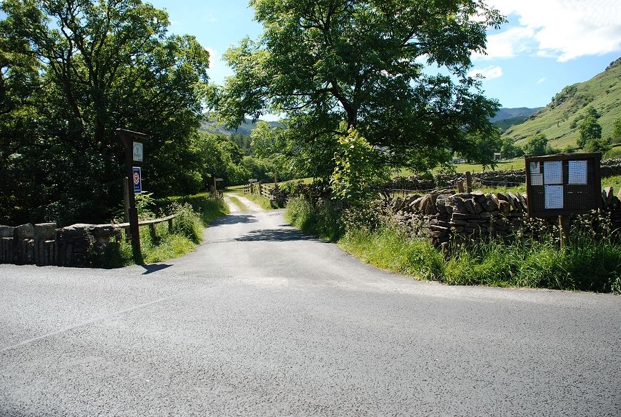
Adjacent to Deepdale Bridge a lane leads off to Deepdale Hall Farm |
|
|
After a few yards a walled lane on the right turns off towards Lane Head |

|
|
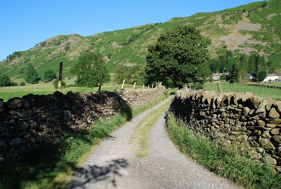
Left from Lane Head a cart track heads off across fields above Deepdale Hall and Wall End Farm |
|
|
Looking back along the track to Place Fell |
|
|
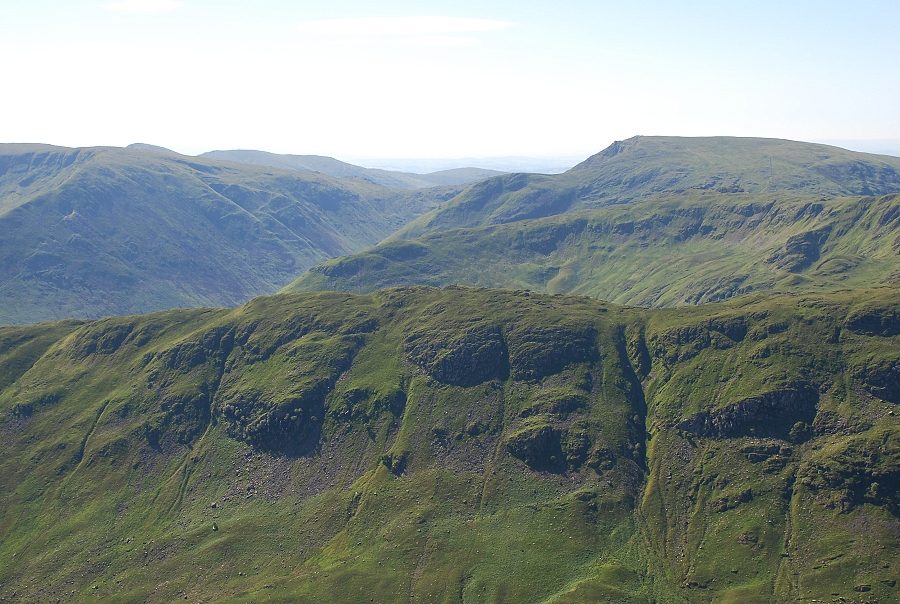
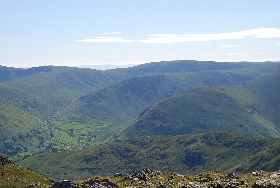
The lower part of the east ridge comes into view on the approach to Wall End. The ridge rises in three quite distinct steps, Latterhaw Crag seen here in shade, Lord's Seat and Gavel Pike |
|
|
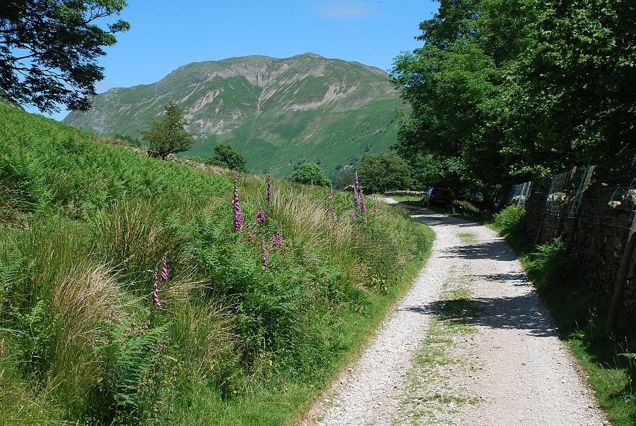
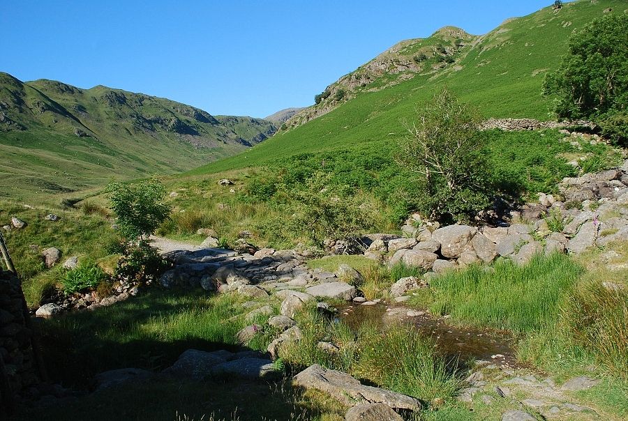
In just over half a mile the cart track ends at a simple flagstone bridge over Coldcove Beck The main path continues on into upper Deepdale |
|
|
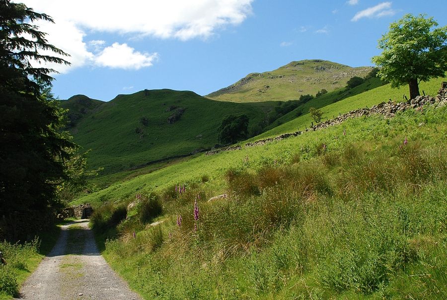
The ascent begins from the bridge. A path passes through a sheep pen and climbs initially by the beck before veering left to reach a grassy col behind Latterhaw Crag seen here on the left |

|
|
Looking back from the start of the ascent at Coldcove Bridge to Angletarn Pikes |
|
|
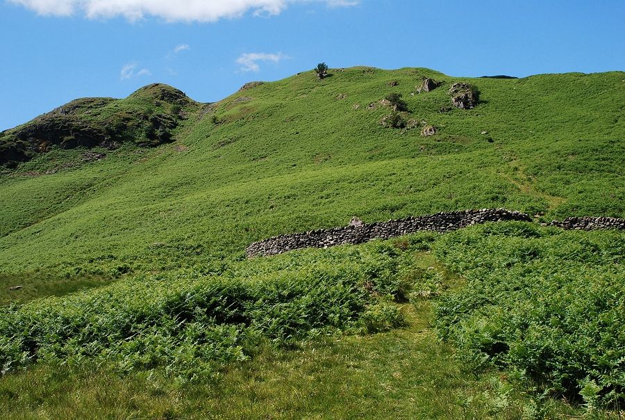
Approaching the col, the top of Latterhow Crag on the left is a good viewpoint. The ridge continues on over Lord's Seat on the right |

|
|
Looking back from the col down to Wall End Farm and across to Angletarn Pikes |
|
|
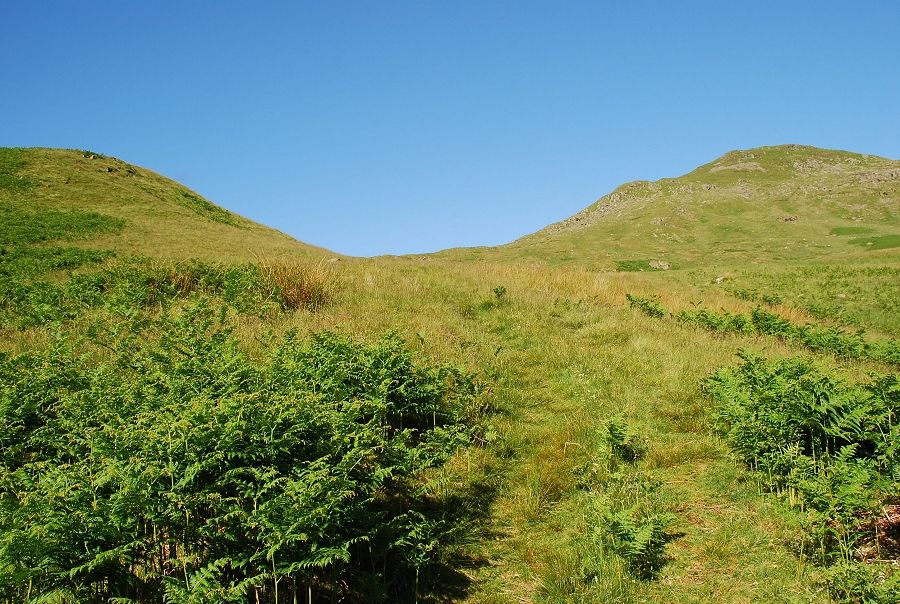
Fairfield appears over the top of the col. The path becomes indistinct from here as it continues on towards a small quarry |
|
|
Traversing below the steep rocky slopes of Lord's Seat |
|
|
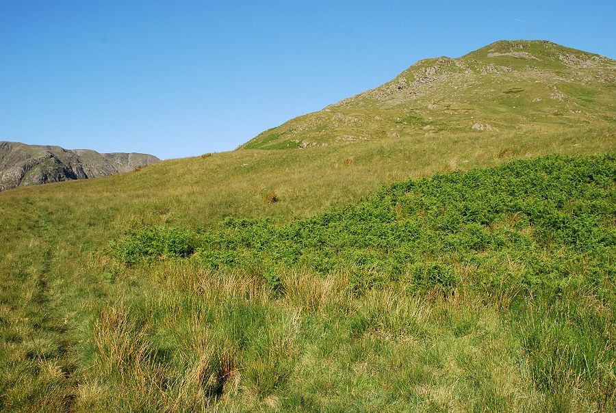
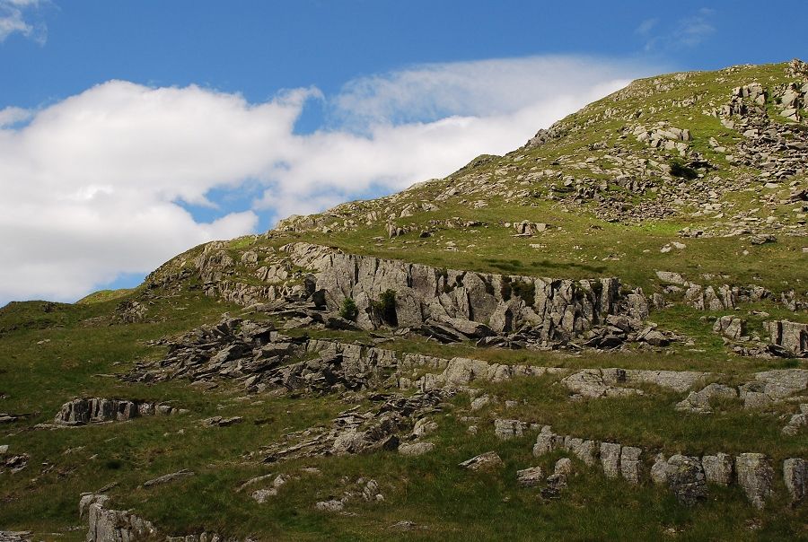
The quarry is very small indeed and cannot have been a viable enterprise. Although a path continues on from here it doesn't gain much height and it is clearly only a sheep trod. Climb the slope above the quarry amongst rock outcrops towards the top of Lord's Seat |

|
|
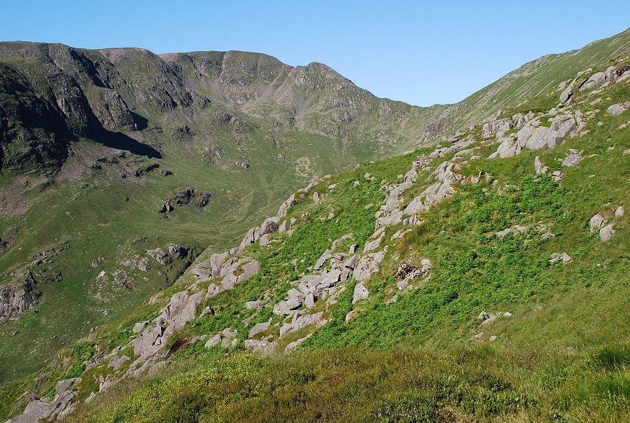
Looking across Deepdale to Hart Crag and Fairfield on the climb to Lord's Seat |

|
|
And in the opposite direction to Place Fell |
|
|
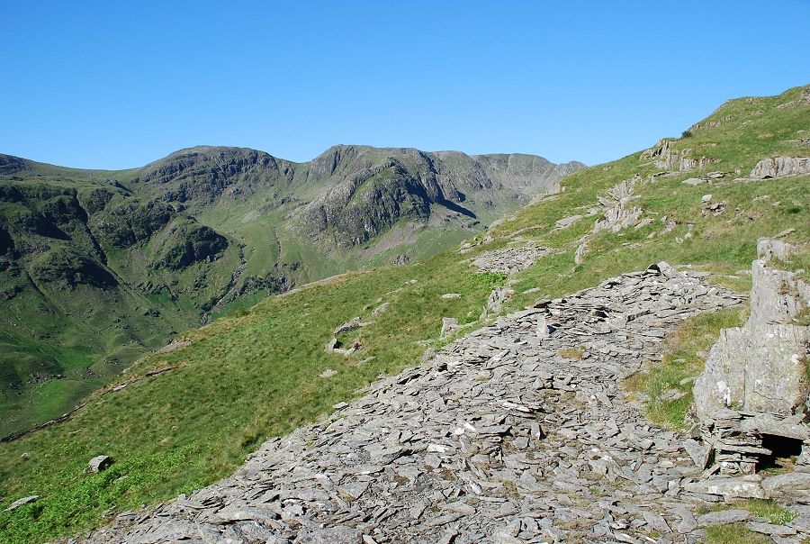
Higher on the climb looking to Deepdale Hause and Cofa Pike below the summit of Fairfield |
|
|
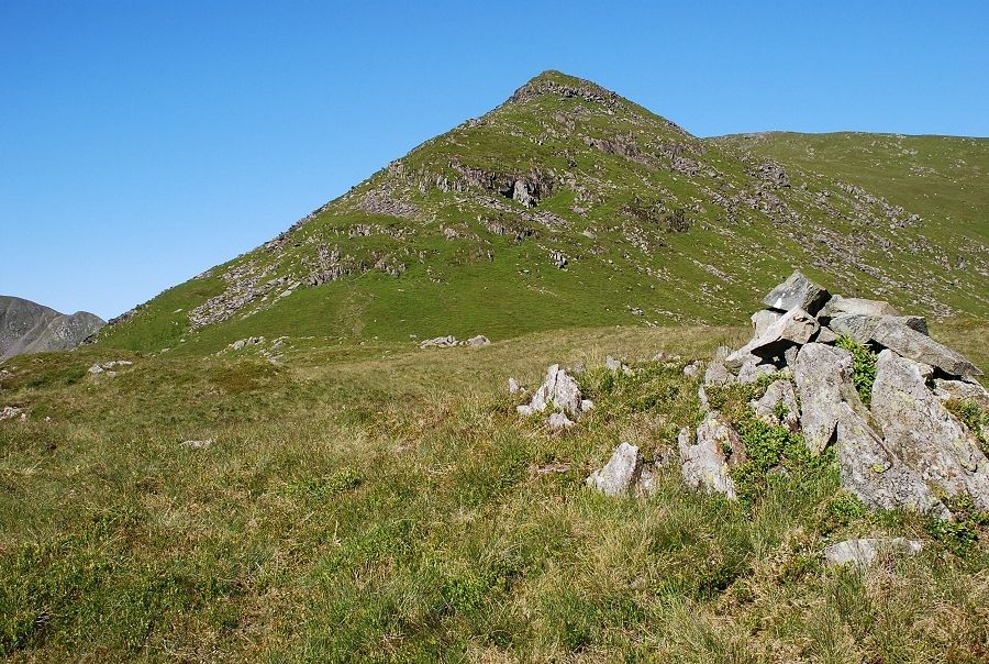
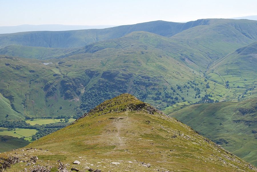
The third stage of the east ridge, Gavel Pike from the summit of Lord's Seat |
|
|
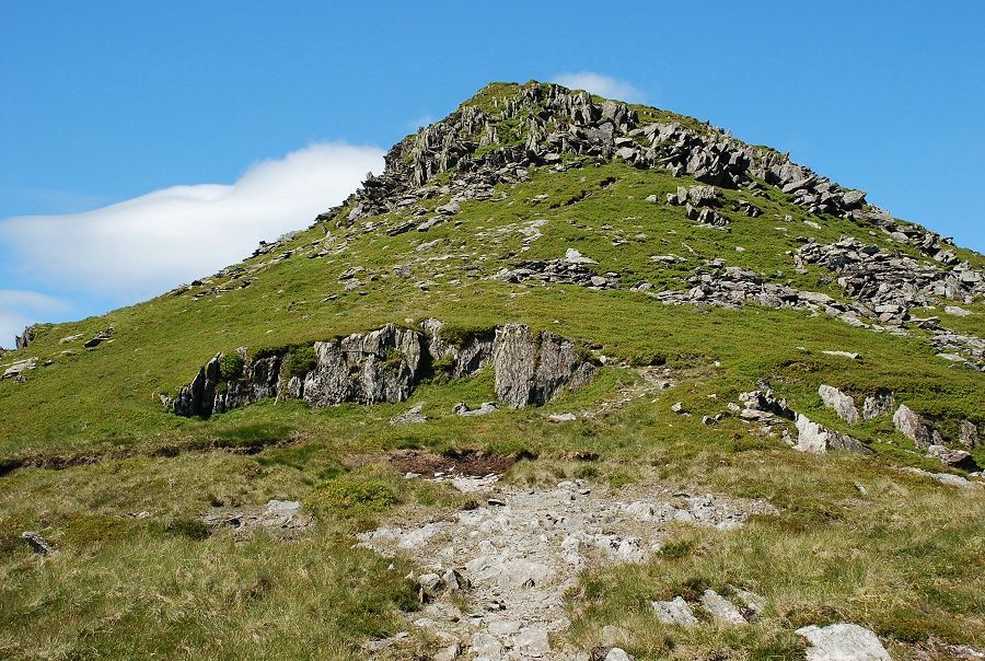
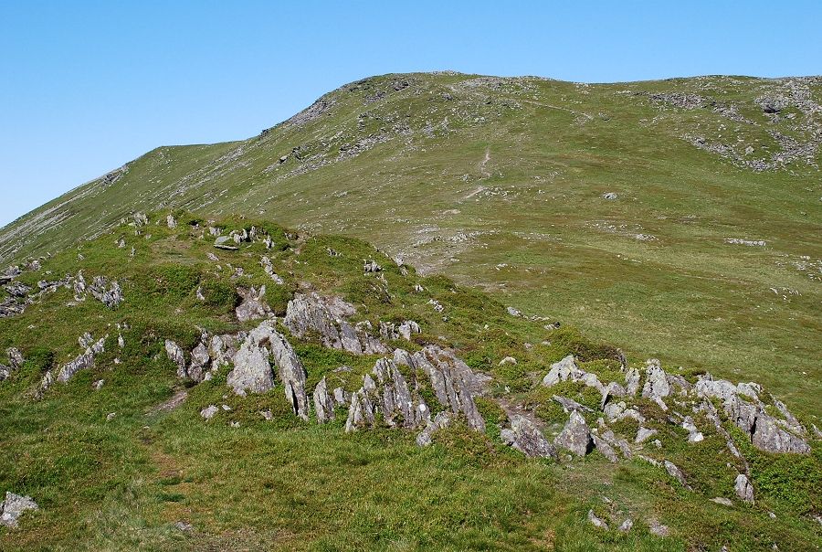
The upper part of Gavel Pike is defended by bands of rock but a good path winds its way through them requiring some mild scrambling |
|
|
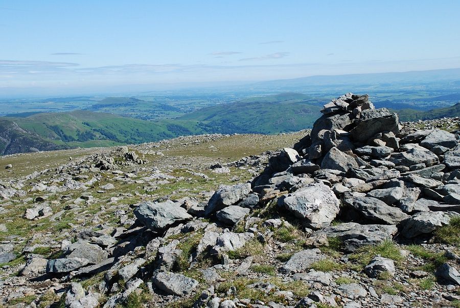
The summit of Gavel Pike which is an excellent viewpoint |
|
|
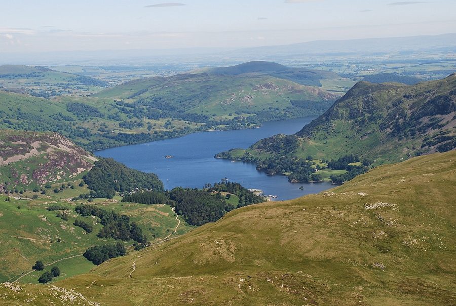
Ullswater from the summit of Gavel Pike |
|
|
Across the valley to Angletarn Pikes |

|
|
High Raise, Rampsgill Head and High Street on the skyline |
|
|
The view over Hartsop-above-How to Caudale Moor, Ill Bell, Yoke and Red Screes |

|
|
Across Deepdale to Hart Crag and Greenhow End on Fairfield |
|
|
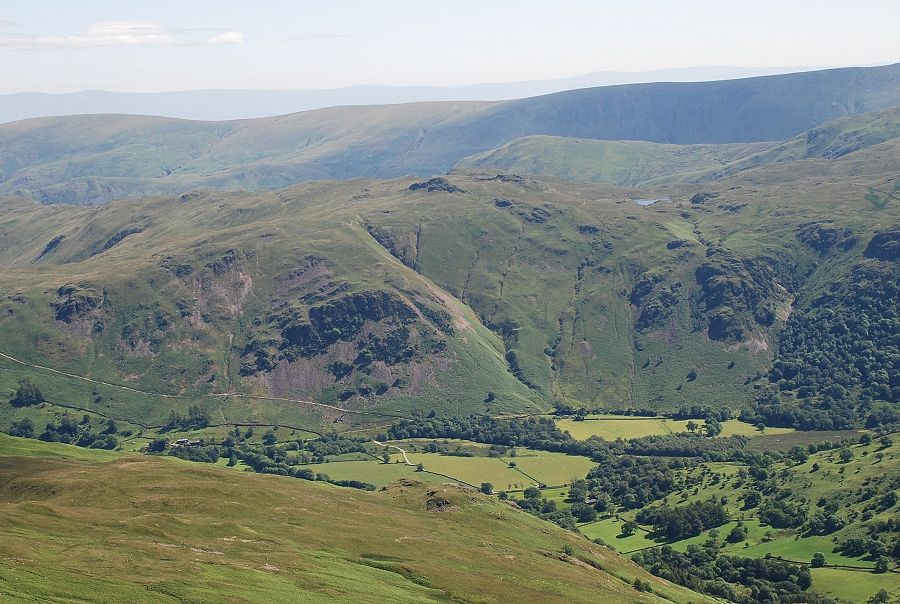
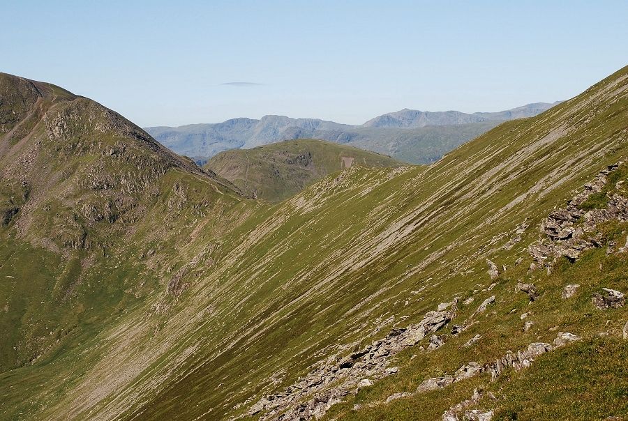
Looking to Deepdale Hause and Seat Sandal with Crinkle Crags and Bowfell on the horizon |
|
|
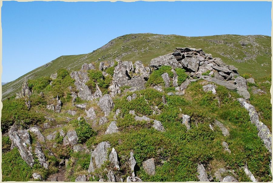
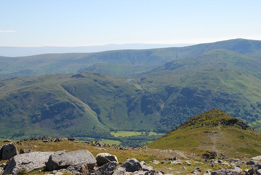
Looking down the east ridge from Gavel Pike |
|
|
From Gavel Pike the east ridge loses some definition as it rises the final 300ft to the summit of St. Sunday Crag |
|
|
Looking back to Gavel Pike from the climb to the summit ridge |
|
|
The summit of Saint Sunday Crag |
|
|
The summit of Gavel Pike lies almost due east and points to the summits of Brock Crags, Rest Dodd and High Raise |
|
|
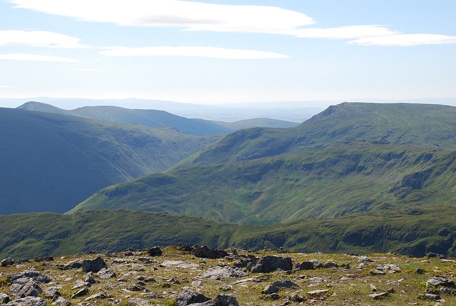
Looking over the intervening ridges of Hartsop above How, Hartsop Dodd and Gray Crag to High Street |
|
|
Looking south east to Ill Bell and Yoke on the left and Red Screes on the right |

|
|
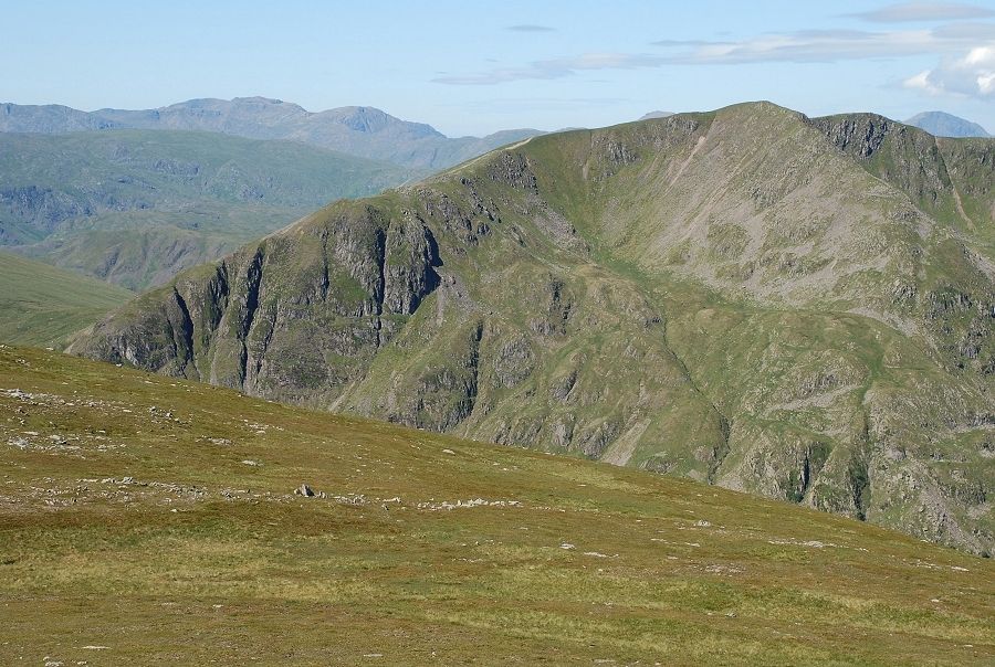
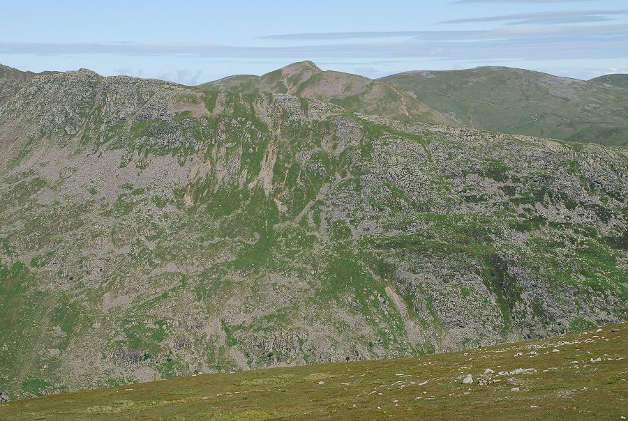
Looking south from the summit to Dove Crag, Hart Crag and Greenhow End |
|
|
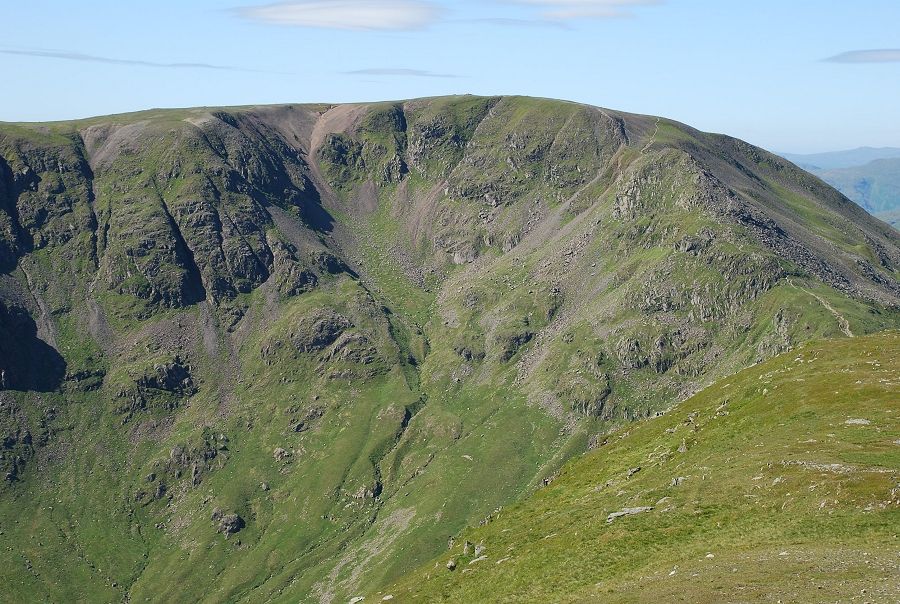
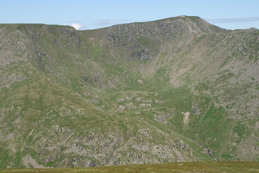
The gullies and crags of Fairfield's north face |
|
|
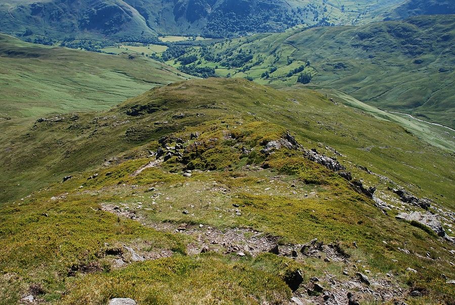
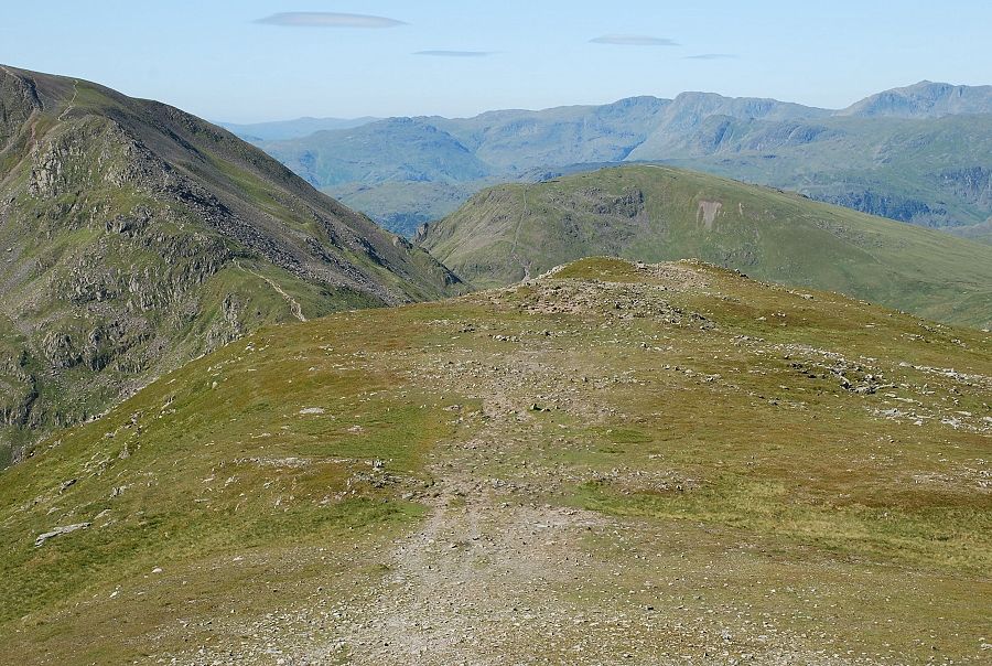
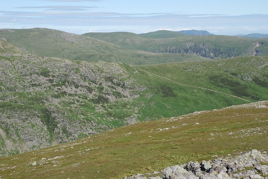
Looking along the south-west ridge which falls to Deepdale Hause |
|
|
Looking west to Dollywaggon Pike |

|
|
Ruthwaite Cove, the Tongue ridge rising out of it leading directly to the summit of Dollywaggon Pike on the left |
|
|
Nethermost Cove bounded by the east ridge of Nethermost Pike on the left and by Striding Edge on the right |
|
|
White Side, Catstycam and Raise on the skyline |
|
|
Raise, Stybarrow Dodd, Great Dodd and Blencathra on the skyline with the distant Bowscale Fell and Carrock Fell on the extreme right |
|
|
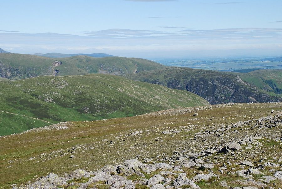
Birkhouse Moor and Sheffield Pike in the middle foreground |

|
|
A few steps to the north-east brings a small section of Ullswater into view |
|