 |
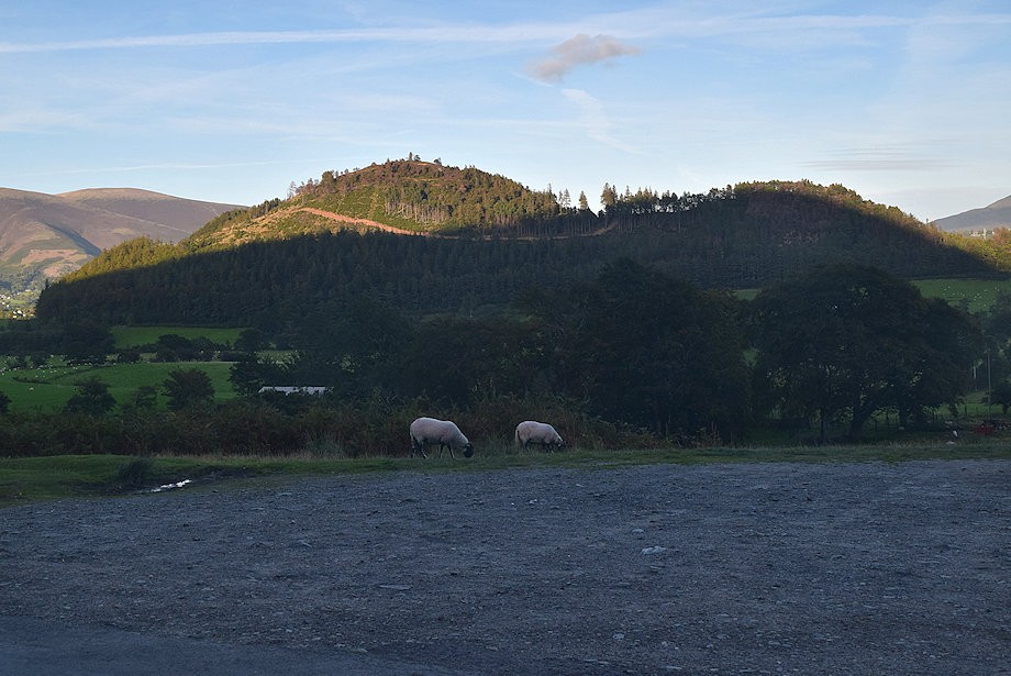
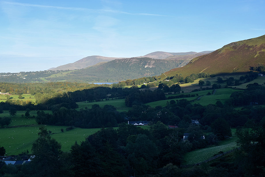
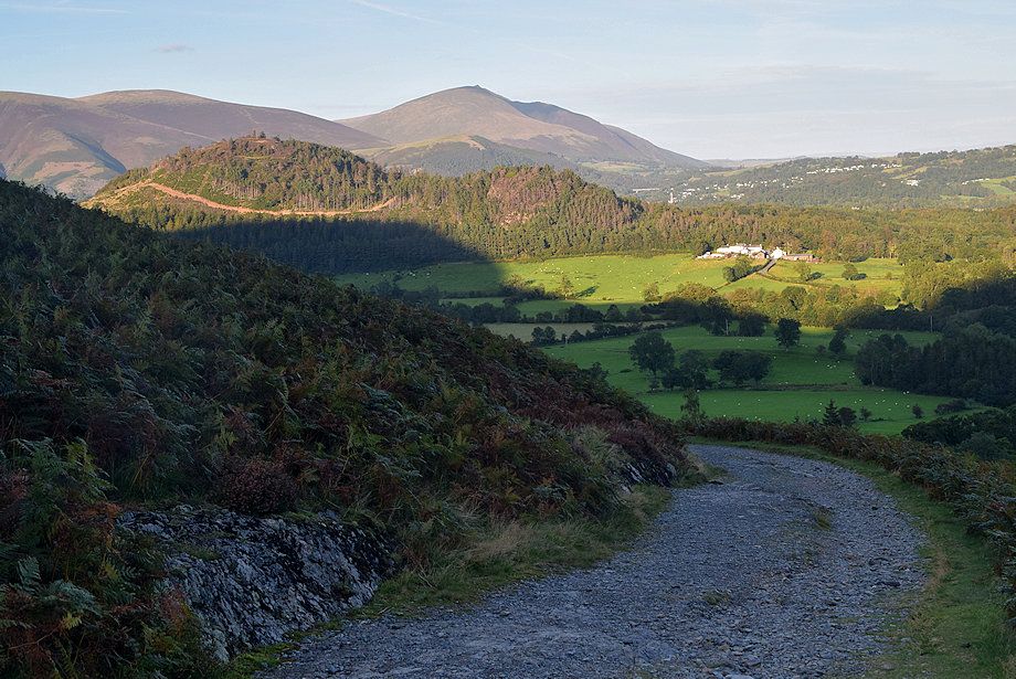
| A wide parking area above Uzzicar Farm on the Braithwaite ~ Buttermere road is the starting point for this walk |
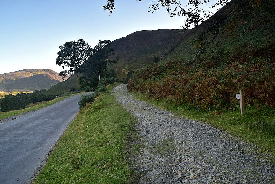 |
| Opposite the parking area an old mine road rises towards Stonycroft Gill |
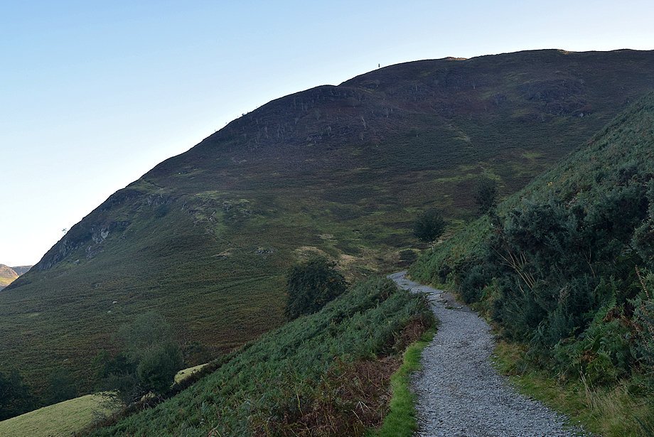 |
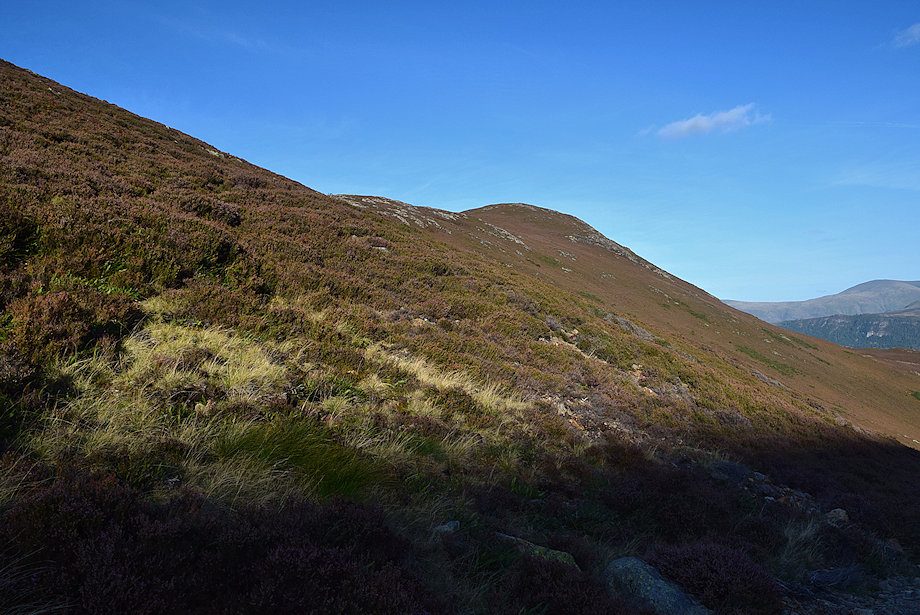
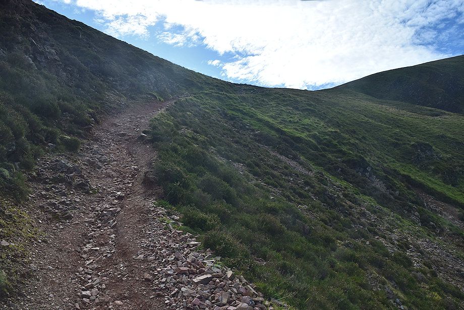
| Rowling End on Causey Pike from the mine road |
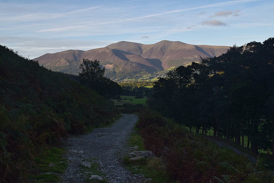 |
| Looking back to Skiddaw from the mine road |
 |
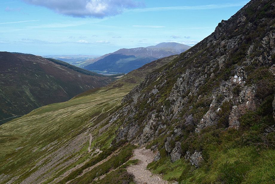
| Looking across to Walla Crag backed by Clough Head and Great Dodd from the mine road |
 |
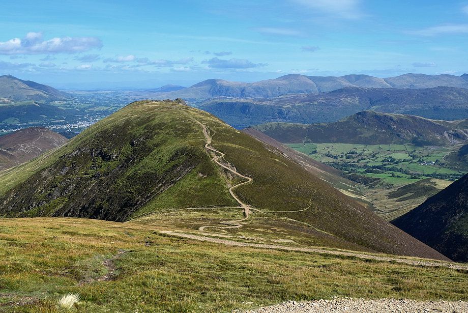
| Looking across the slopes of Rowling End to Catbells |
 |
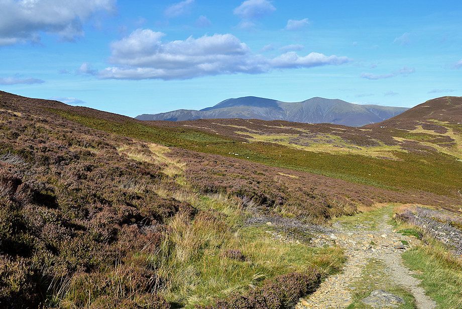
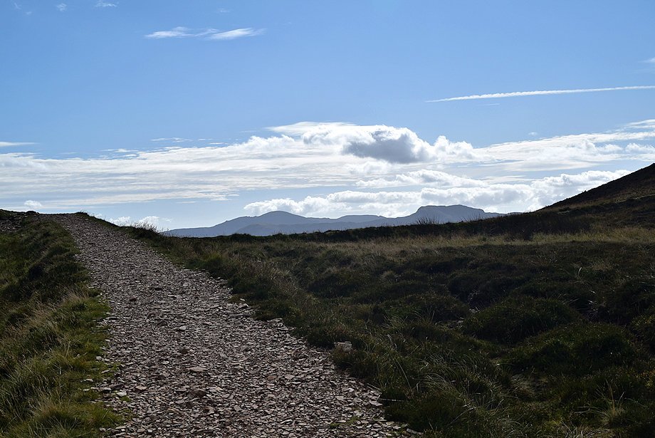
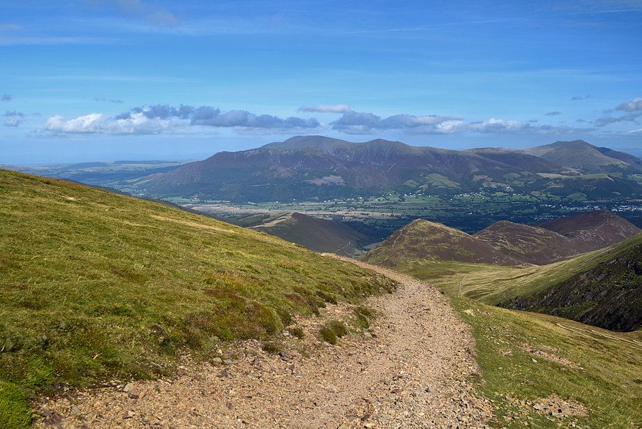
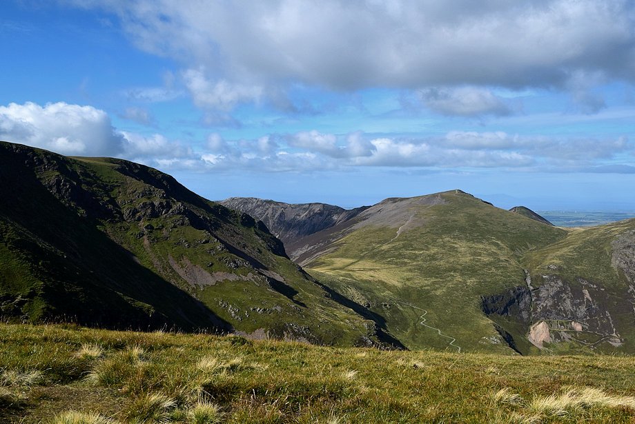
| Skiddaw and Blencathra from the mine road above Stonycroft |
 |
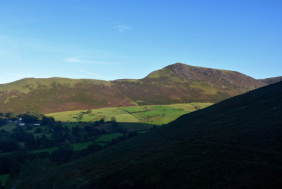
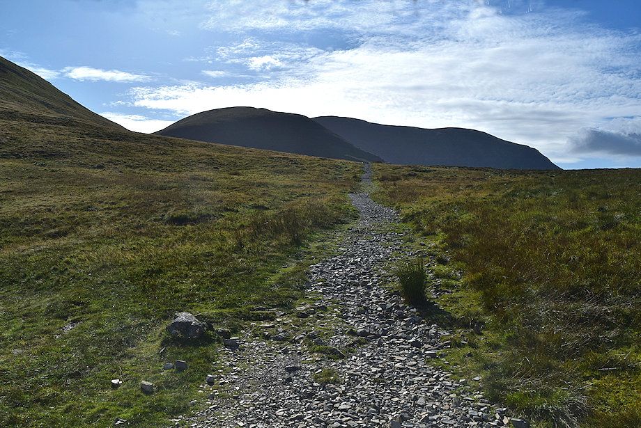
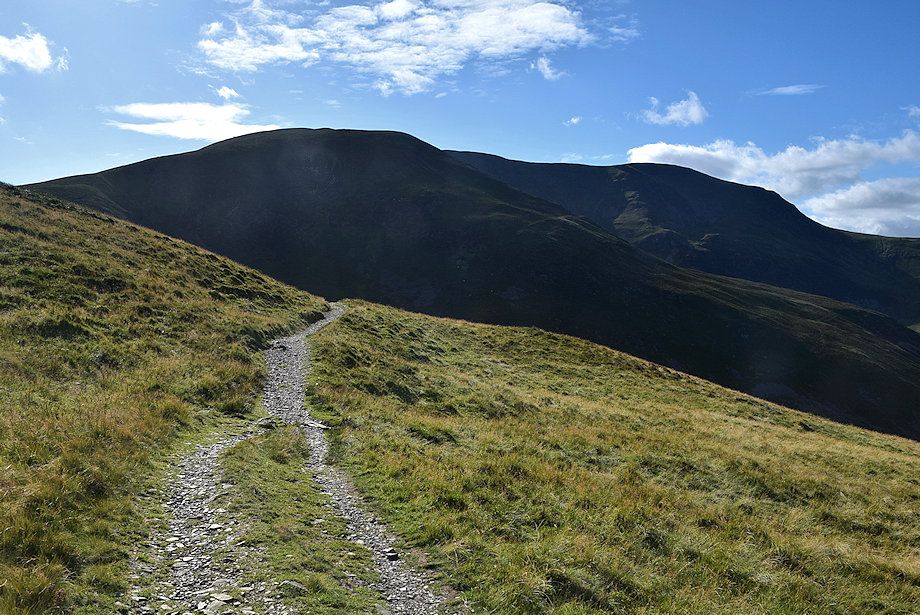
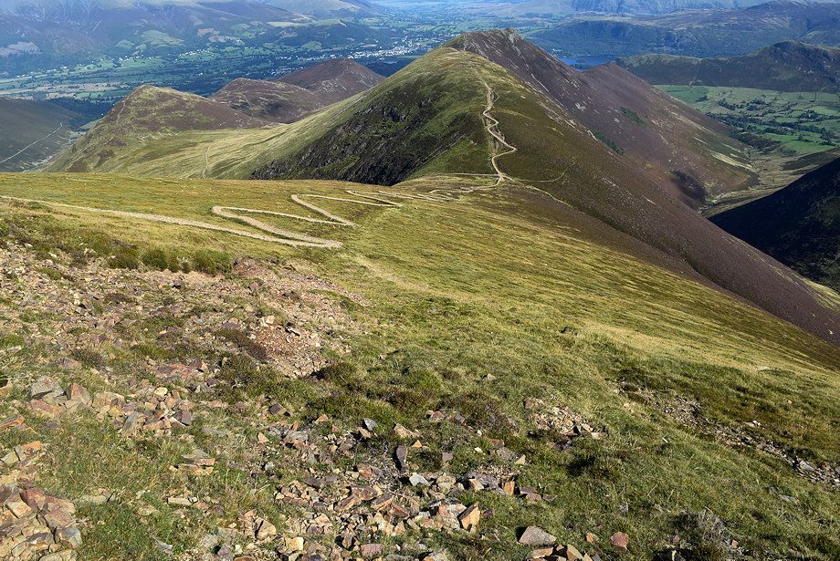
| The summit of Causey Pike comes into view as the road begins to turn to follow the course of Stonycroft Gill |
 |
| Looking back to Blencathra |
 |
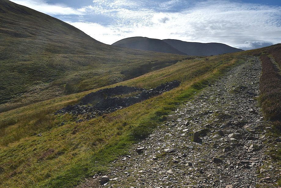
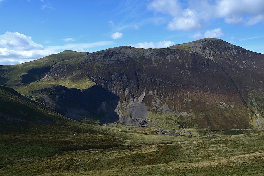
| Ignore the track which bears left, it leads to the site of the old smelter of the Stonycroft Lead Mine. The disused mine is one of the earliest in the district, probably dating back over 400 years, when a rich vein of galena ore was discovered in the bed of the stream. The miners built a dam to divert the course of the stream and stoped out a great quantity of ore from its former bed. Later they sank a shaft beside the stream, stoping out ore to a depth of over forty feet. The mine was abandoned in the early 17th century after the dam burst, filling the shaft with mud and water, reputedly several lives were lost in the disaster |
 |
|
In the 1840's the Keswick Mining Company extended the mine road towards Sail Pass for a distance of two miles to exploit a large vein of cobalt ore which had been discovered below Long Crag. A huge investment was made in constructing a light tramway on the road and in erecting a smelt mill, crushing mills and dressing floors together with the four levels which were driven into the vein. It was all to no avail as the company found it almost impossible to refine the cobalt from the ore. It's believed that only a few ounces of pure cobalt was produced
|
 |
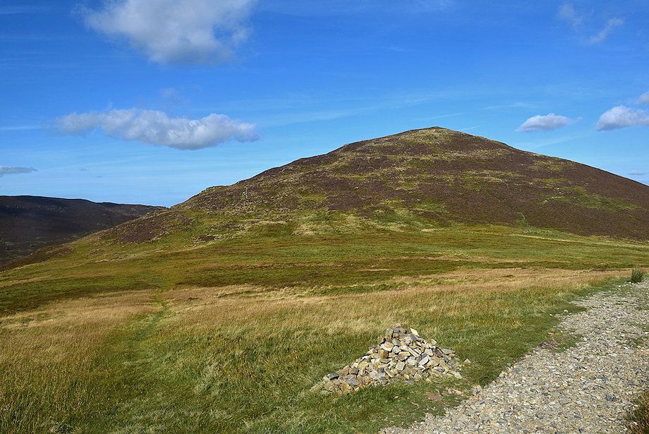
| Looking up to Causey Pike from the mine road |
 |
| Looking up to Barrow from the mine road |
 |
| Looking back to the Helvellyn range above Bleaberry Fell and High Seat |
 |
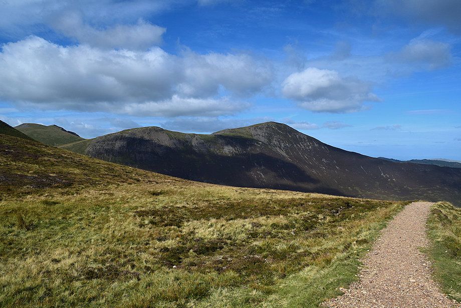
| Scar Crags from the mine road |
 |
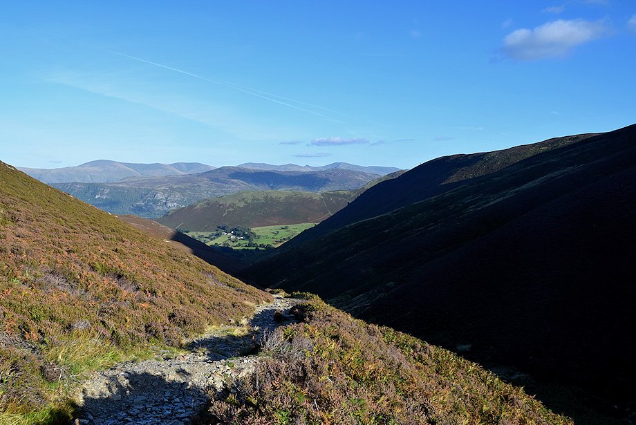
| Looking back along Stonycroft Gill |
 |
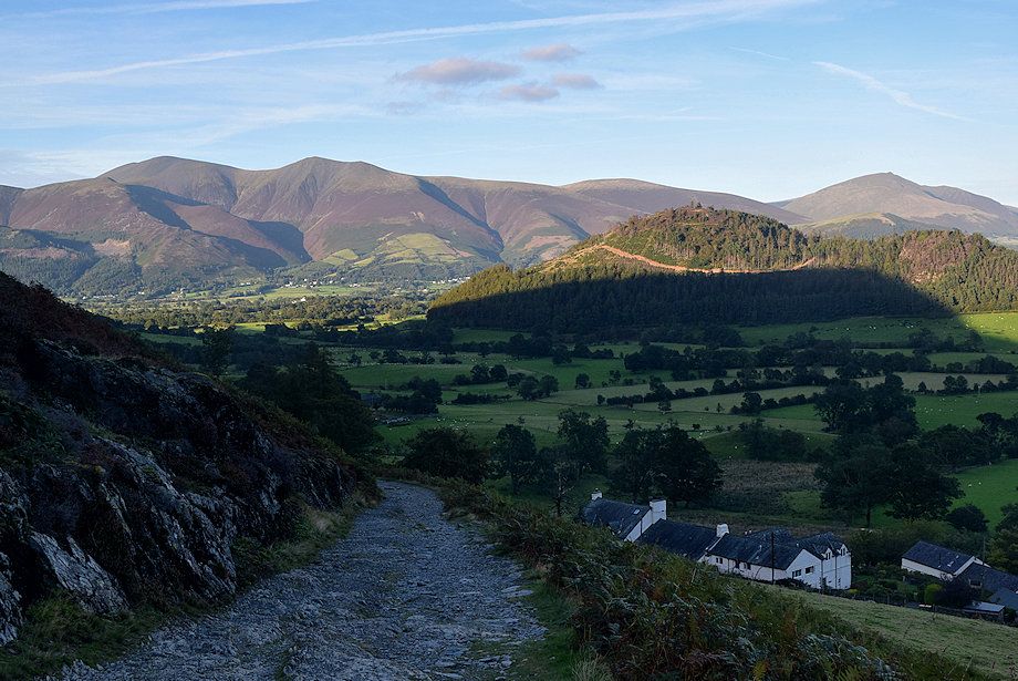
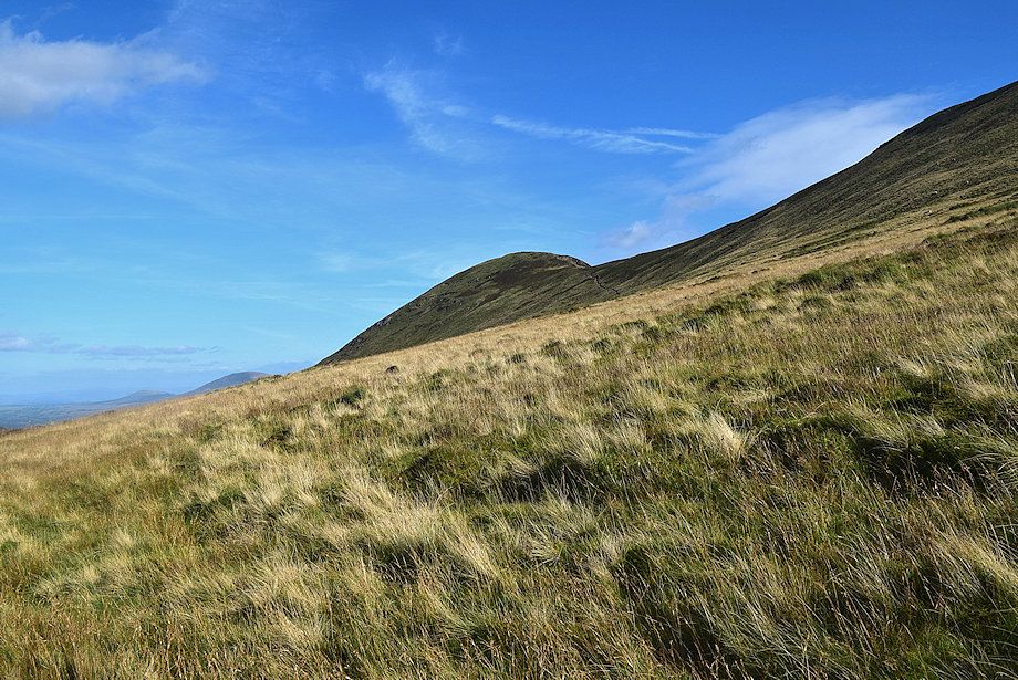
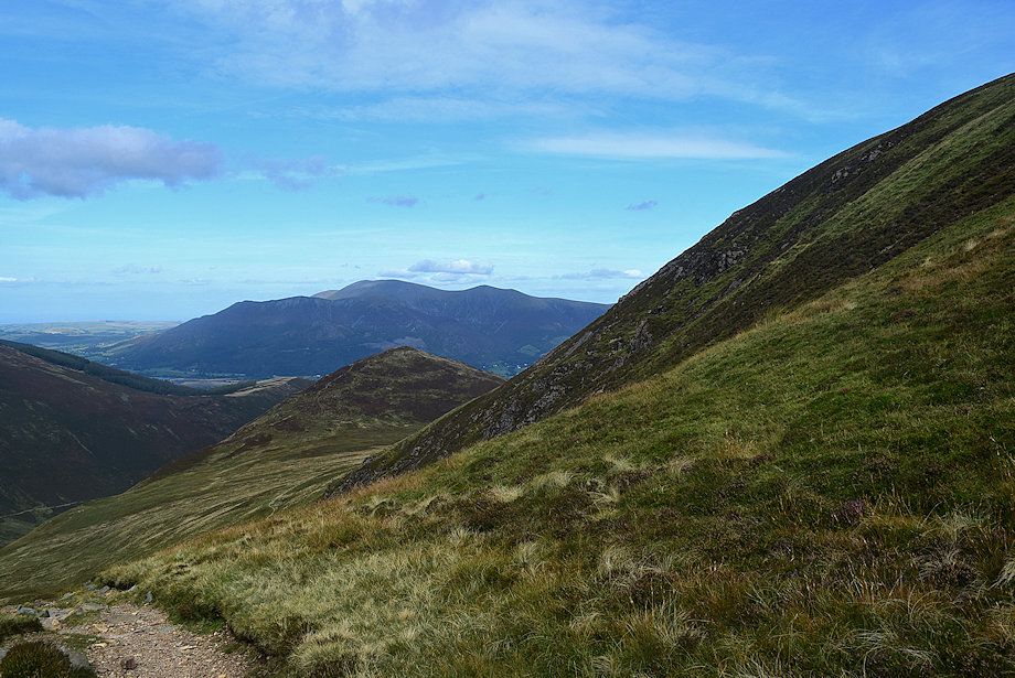
| Skiddaw appearing over the col between Outerside and Stile End |
 |
| On passing the ruined sheepfold which AW noted on his diagram of this ascent Sail and Eel Crag come into view |
 |
| Looking back to Barrow flanked by Blencathra and Clough Head |
 |
| Beyond the sheepfold a path leads up to the col between Causey Pike and Scar Crags |
 |
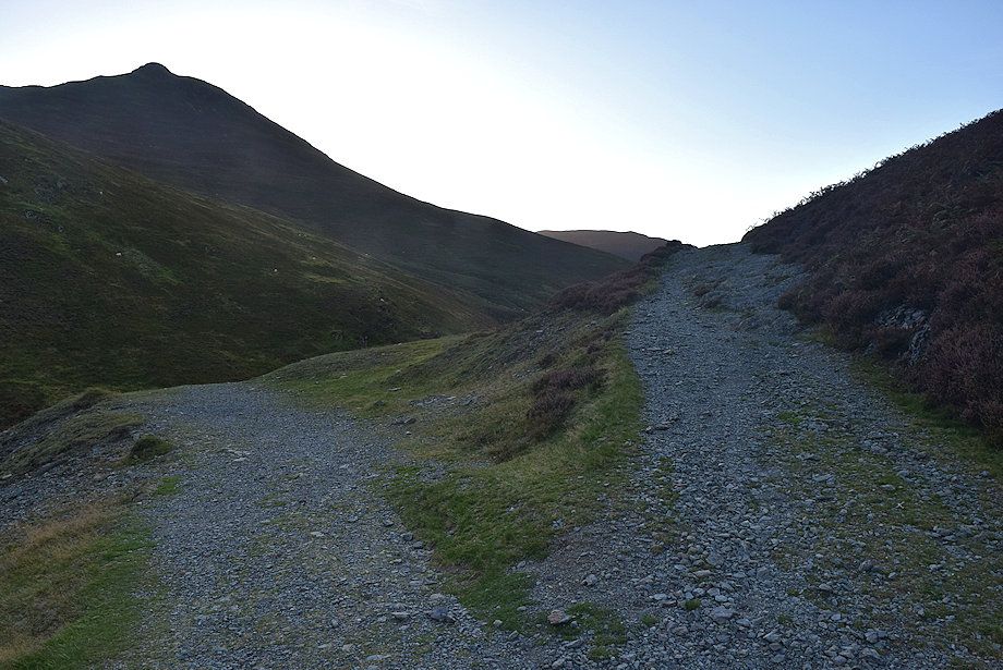
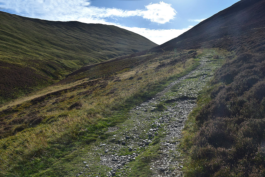
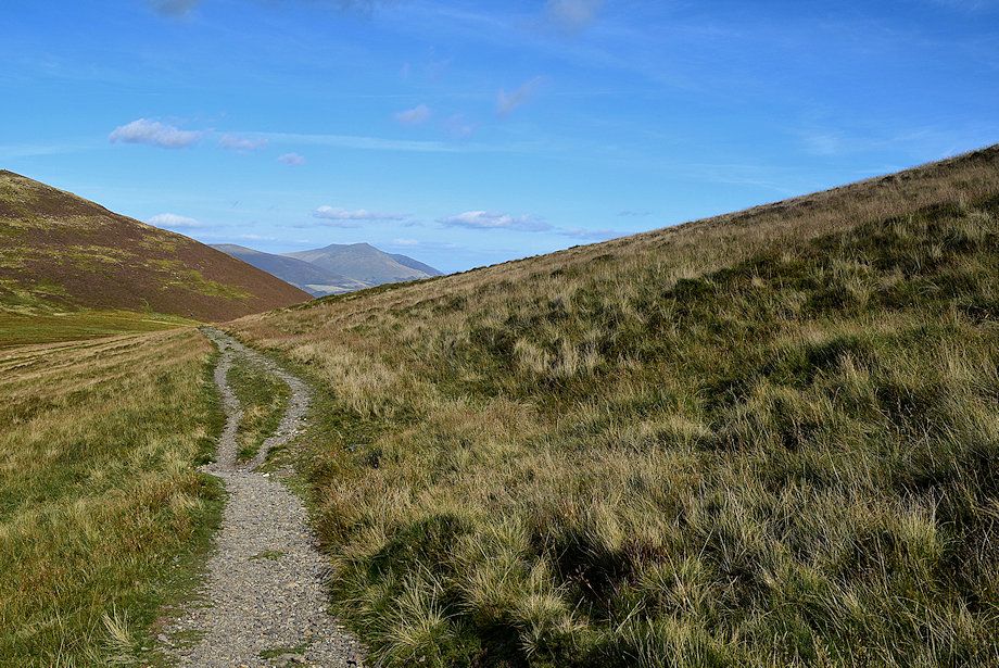
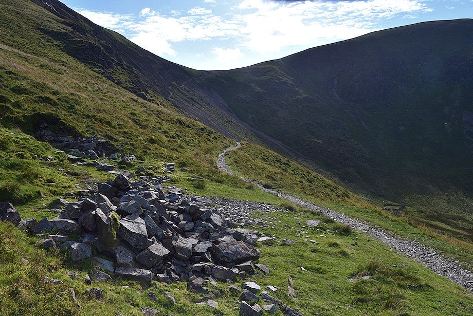
| The way ahead continues on the mine road which soon begins to degenerate into a wide footpath |
 |
| A cairn beside the mine road indicates the start of a path which crosses High Moss to ascend Outerside |
 |
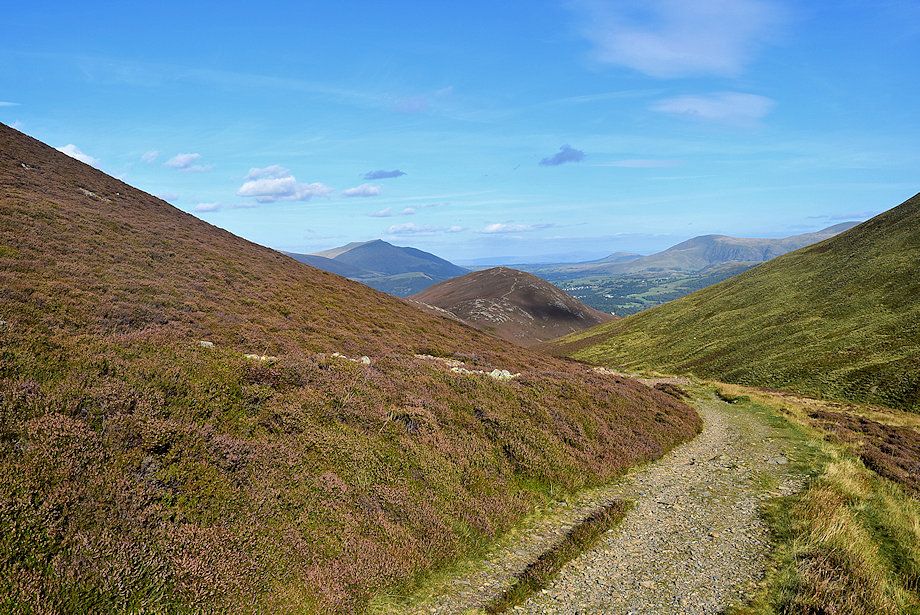
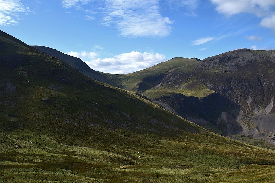
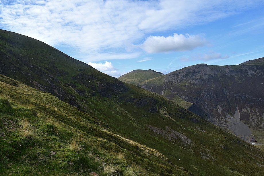
| Looking over towards Coledale Hause |
 |
| Causey Pike and Scar Crags from the mine road |
 |
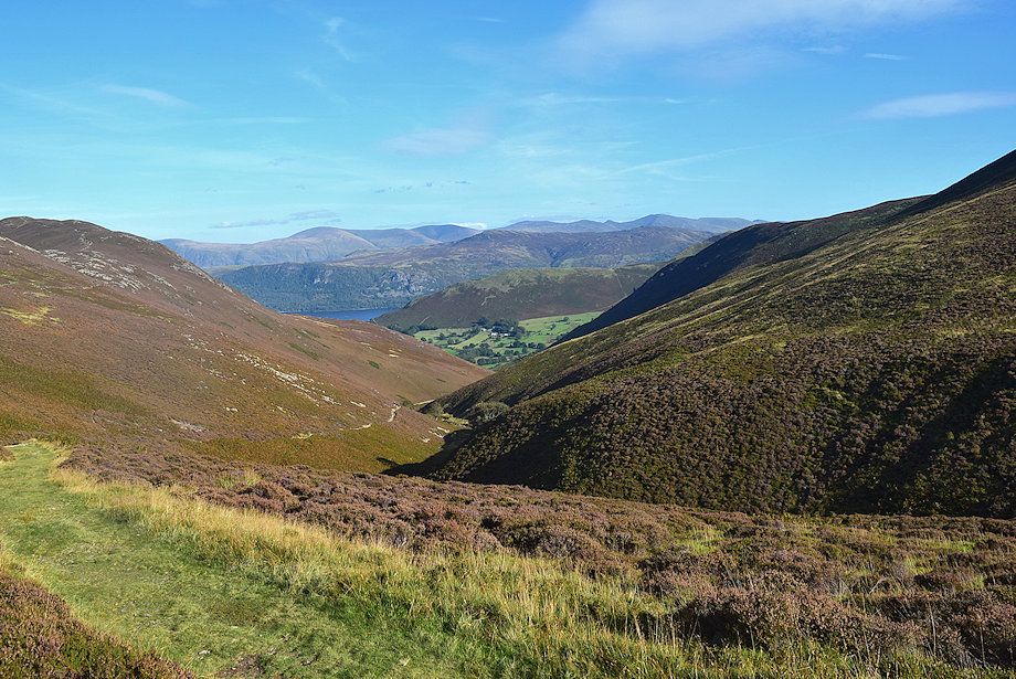
| Sail and Eel Crag from the mine road as it approaches Long Comb |
 |
| Looking back to Blencathra |
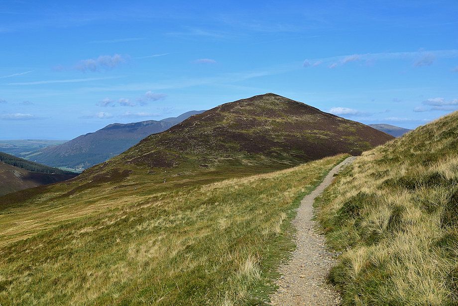 |
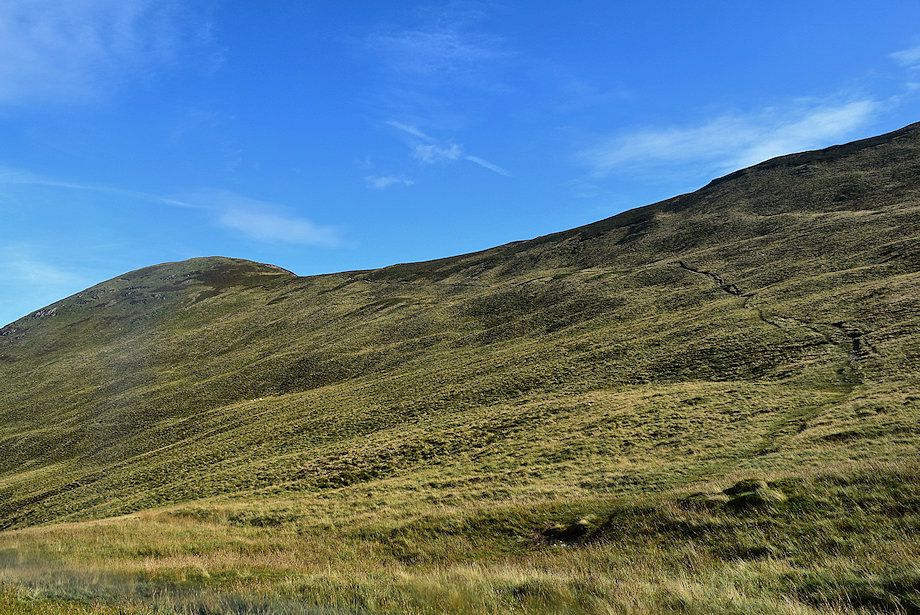
| Looking back to Outerside |
 |
| Grisedale Pike above Coledale |
 |
| Looking over to Sand Hill, Hopegill Head, Hobcarton Head and Grisedale Pike |
 |
| Sail Pass comes into view as the mine road turns to rise above Long Comb |
 |
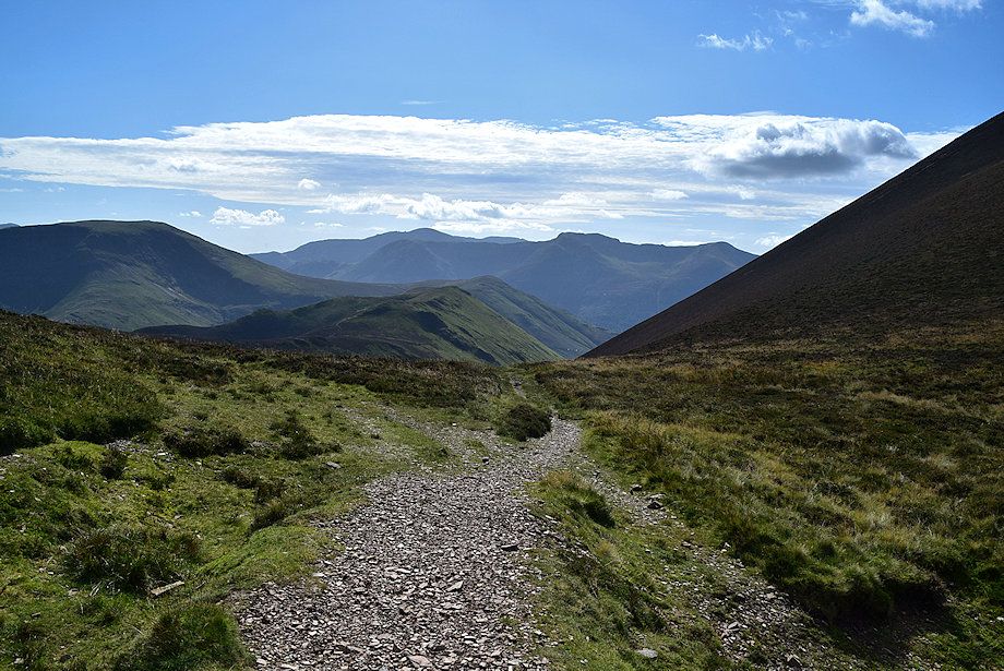
| Looking over Long Comb to Coledale Hause flanked by Eel Crag and Sand Hill with Hobcarton Head on the right |
 |
| Looking back as the road begins to climb alongside Long Crag |
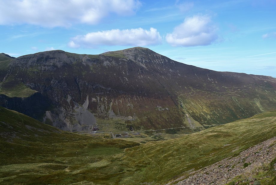 |
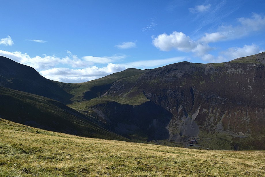
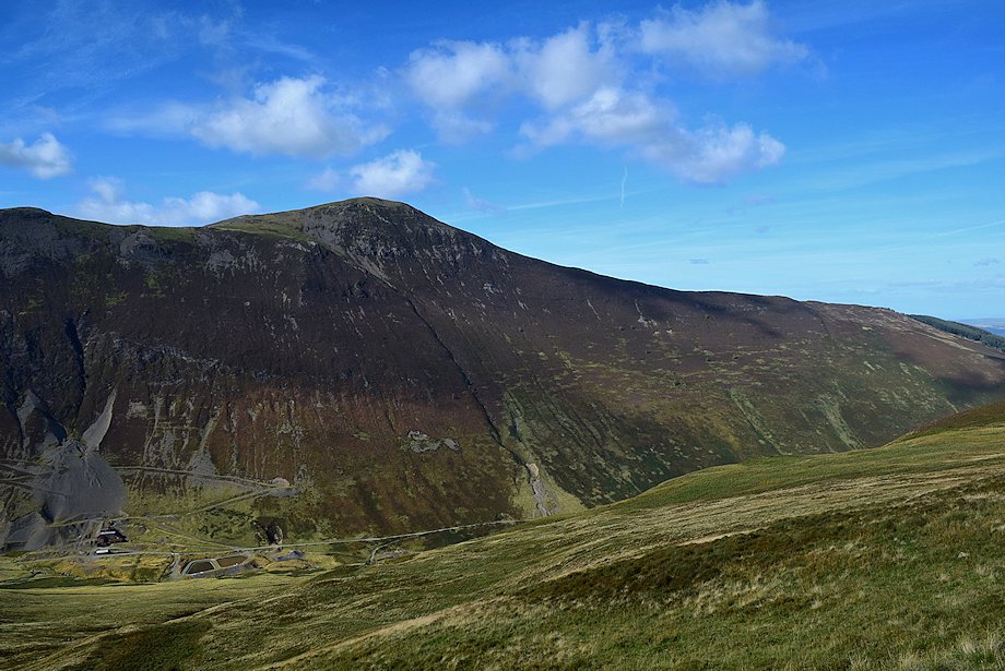
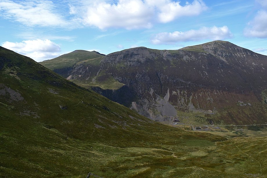
| Looking down on the disused Force Crag Mine |
 |
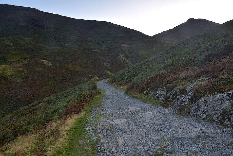
| The mine road rising steeply below Long Crag |
 |
| Looking back across Long Crag to Skiddaw |
 |
| Sand Hill, Hopegill Head, Hobcarton Head and Grisedale Pike across Long Comb |
 |
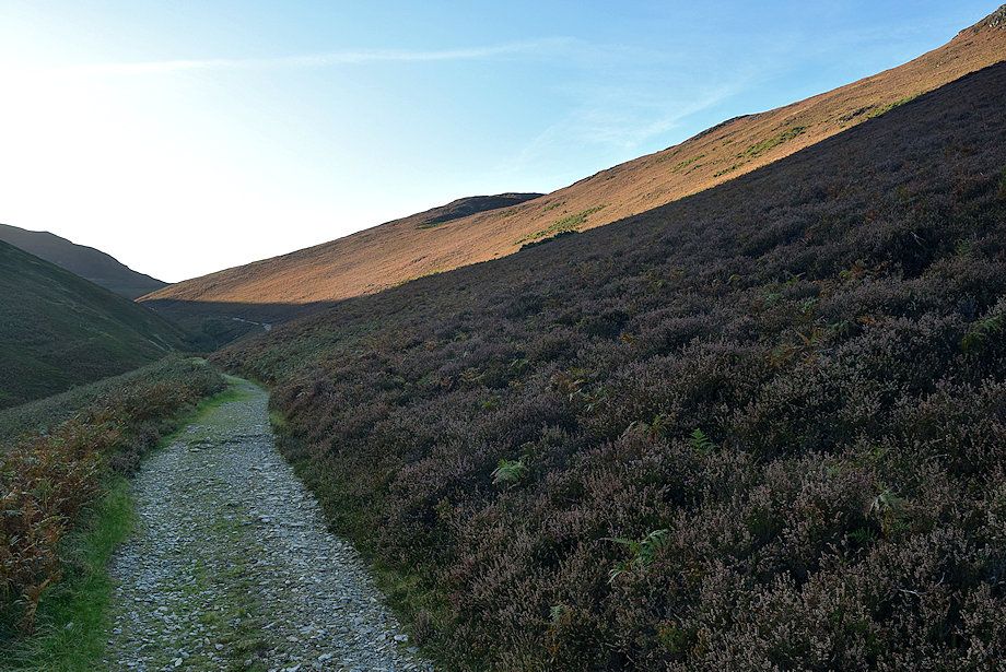
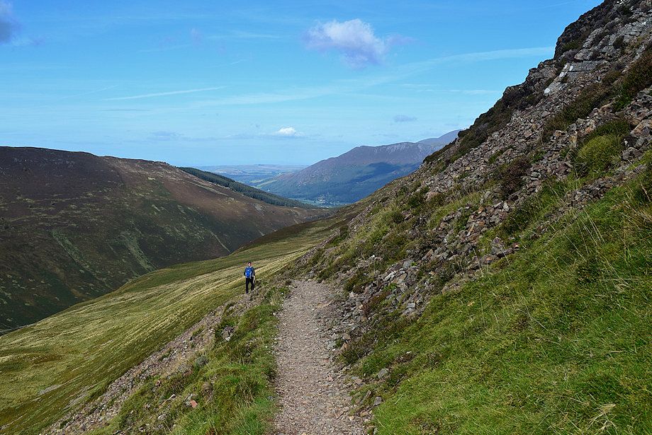
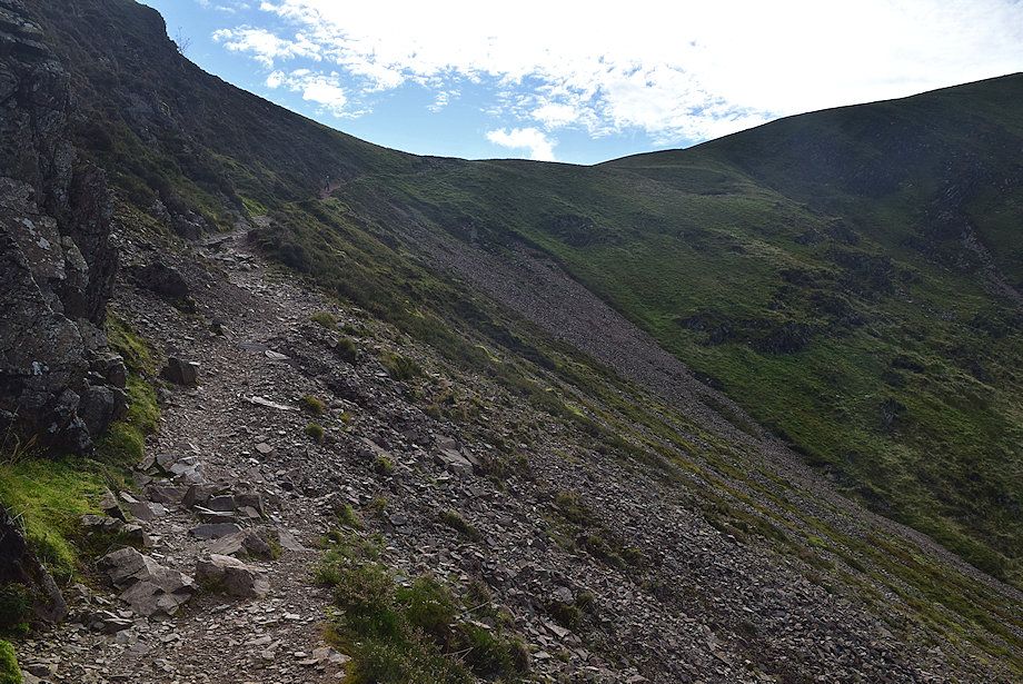
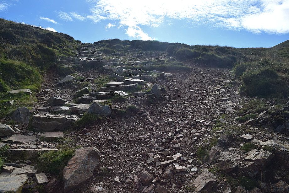
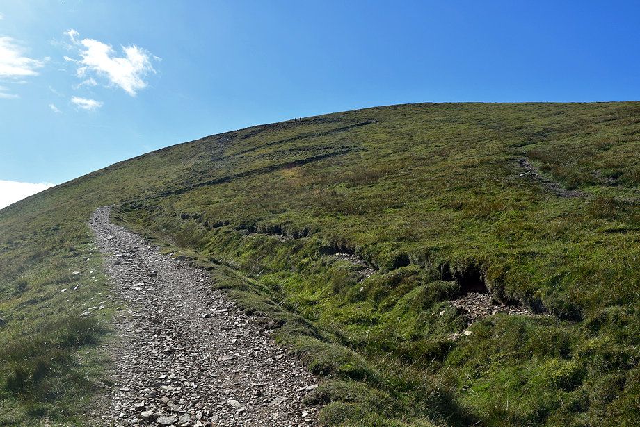
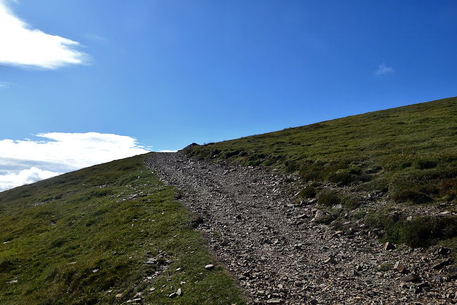
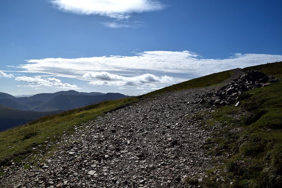
| The track is quite eroded over the upper section below Sail Pass |
 |
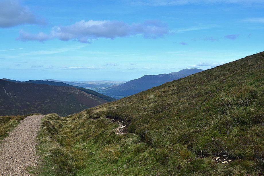
| Looking over Sail's north-eastern ridge to Sand Hill and Hopegill Head |
 |
| An attempt has been made by Fix The Fells to repair the damage to the path by creating stone pitching - only partially effective here although the final section has been successfully restored using the soil inversion technique |
 |
| Looking back to Skiddaw frrom just below Sail Pass |
 |
| Pillar and High Stile appear over the top of Sail Pass |
 |
| Sand Hill, Hopegill Head, Hobcarton Head and Grisedale Pike from Sail Pass |
 |
| Robinson, Pillar and the High Stile ridge from Sail Pass |
 |
| Skiddaw from Sail Pass |
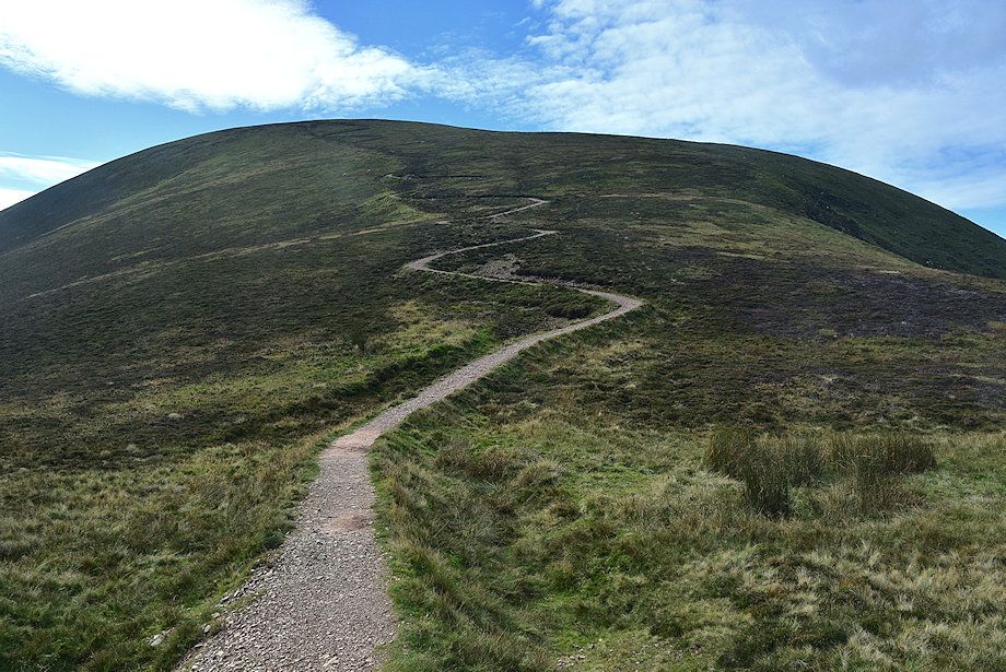 |
| The engineered path rises in a long series of zig-zags from Sail Pass to the summit of Sail |
 |
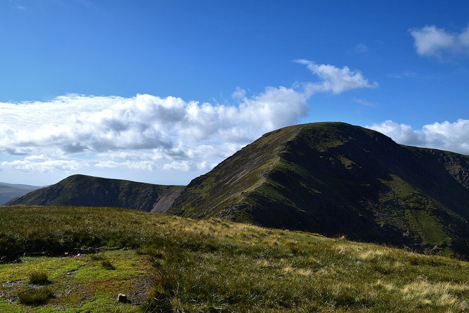
| Looking back to Scar Crags from the start of the climb to Sail |
 |
| The Helvellyn range on the horizon with the east top of Ard Crags in the foreground |
 |
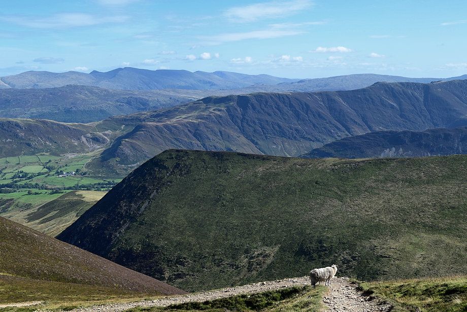
| Looking over the Ard Crags ~ Knott Rigg ridge to Dale Head, Hindscarth and Robinson |
 |
| Looking back to Scar Crags and the Newlands Valley |
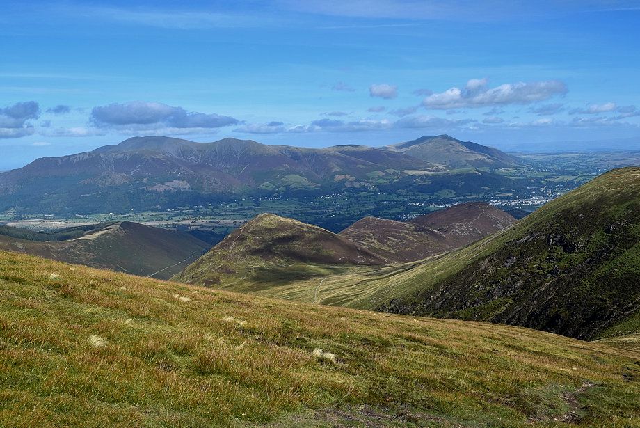 |
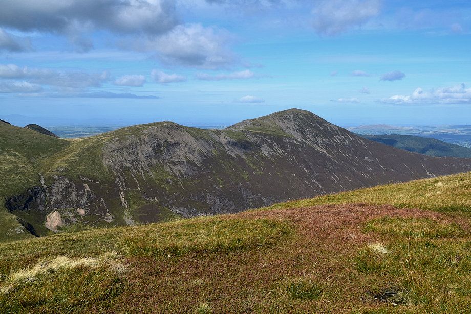
| Skiddaw and Blencathra over the peaks of Kinn, Outerside, Stile End and Barrow |
 |
| The upper part of the engineered path on Sail which was constructed to replace the former path that climbed directly to the summit and had caused a very wide erosion scar on the fellside |
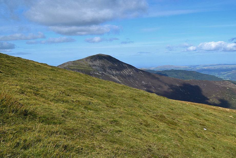 |
| Looking over to Grisedale Pike |
 |
| Part of the original path still remains |
 |
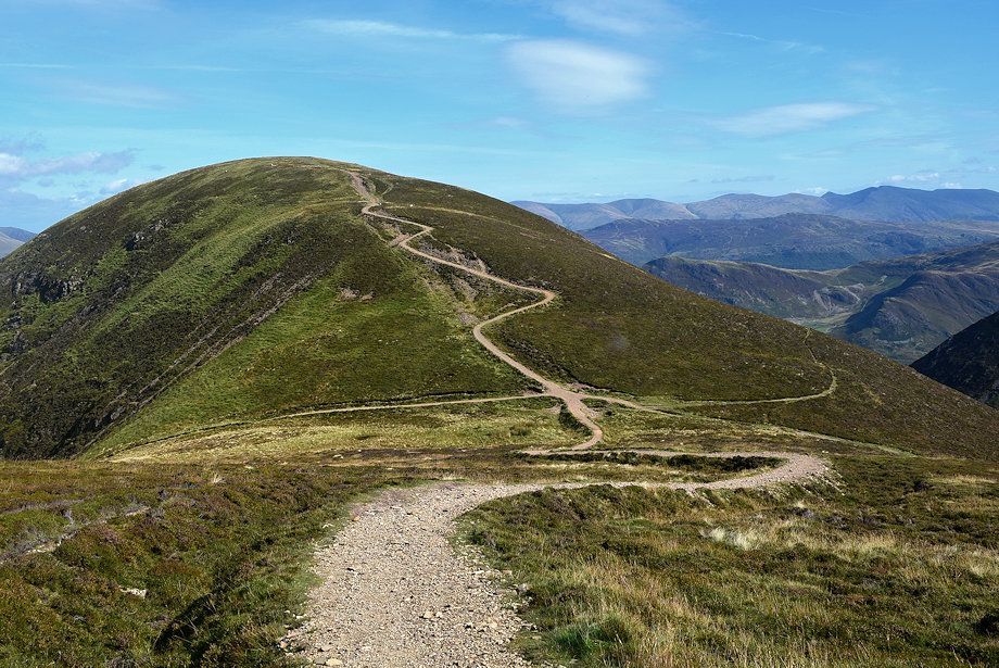
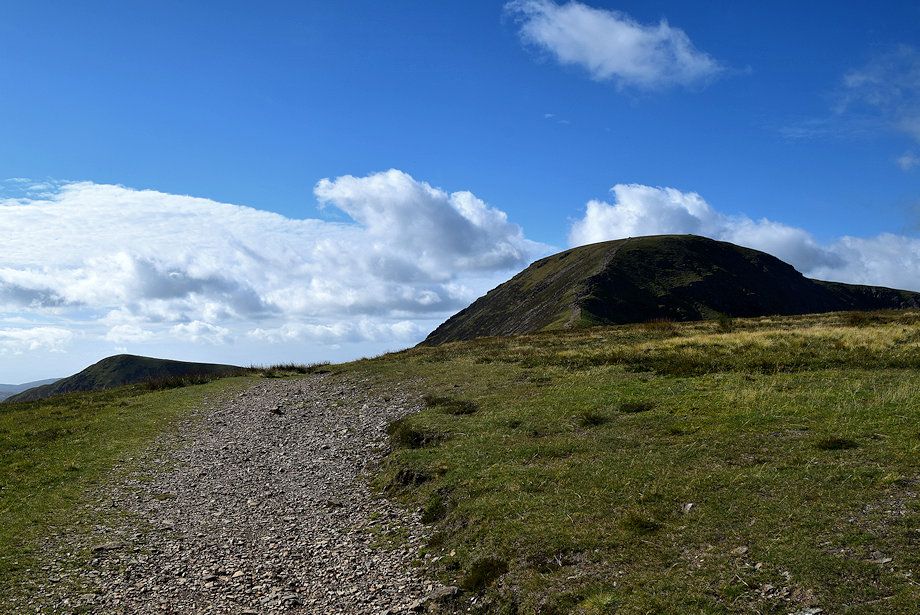
| A cairn on the skyline marks the end of the zig-zags from where the path begins to level off and the summit comes into view |
 |
| The Newlands Valley over the east top of Ard Crags |
 |
| Skiddaw and Blencathra from the end of the zig-zags |
 |
| Pillar, High Crag and High Stile from the end of the zig-zags |
 |
| The upper Newlands Valley over the summit of Ard Crags |
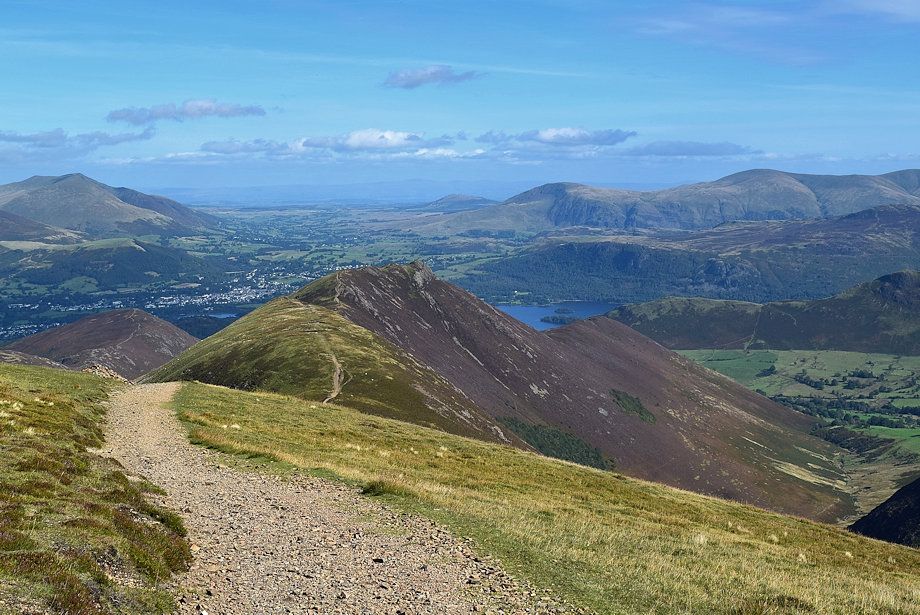 |
| Derwent Water from just below the summit |
 |
| Approaching the summit of Sail |
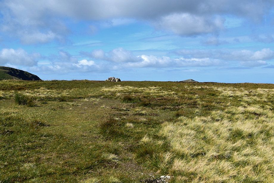 |
| The summit cairn lies about 25 yards to the right of the path |
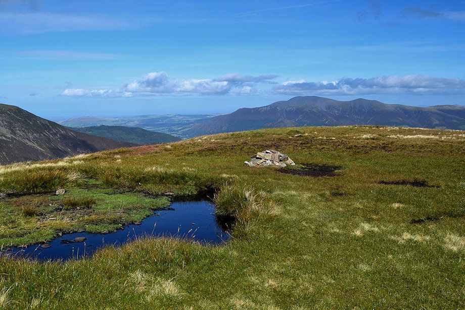 |
| The summit cairn on Sail |
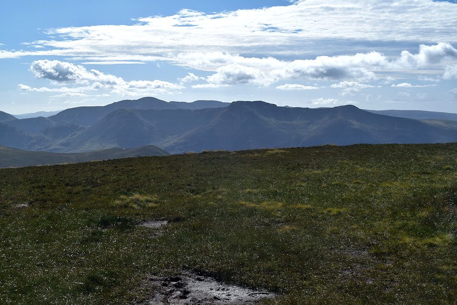 |
| Pillar and the High Stile ridge from the summit of Sail |
 |
| Wandope and Eel Crag from the summit of Sail |
 |
| Eel Crag, Whiteside, Hopegill Head and Ladyside Pike from the summit of Sail |
 |
| Hobcarton Head and Grisedale Pike from the summit of Sail |
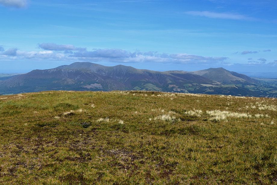 |
| Skiddaw and Blencathra from the summit of Sail |
 |
| Looking east from the summit of Sail, Great Mell Fell, Clough Head, Great Dodd, Stybarrow Dodd, Raise, White Side, Catstycam, Helvellyn Nethermost Pike, Dollywaggon Pike and Fairfield form the horizon |
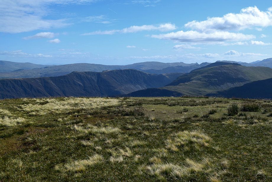 |
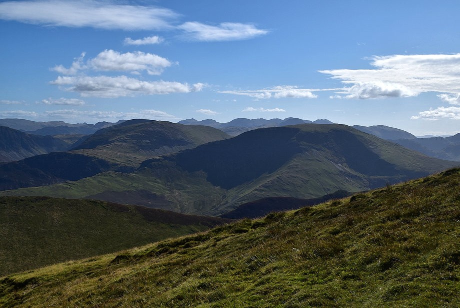
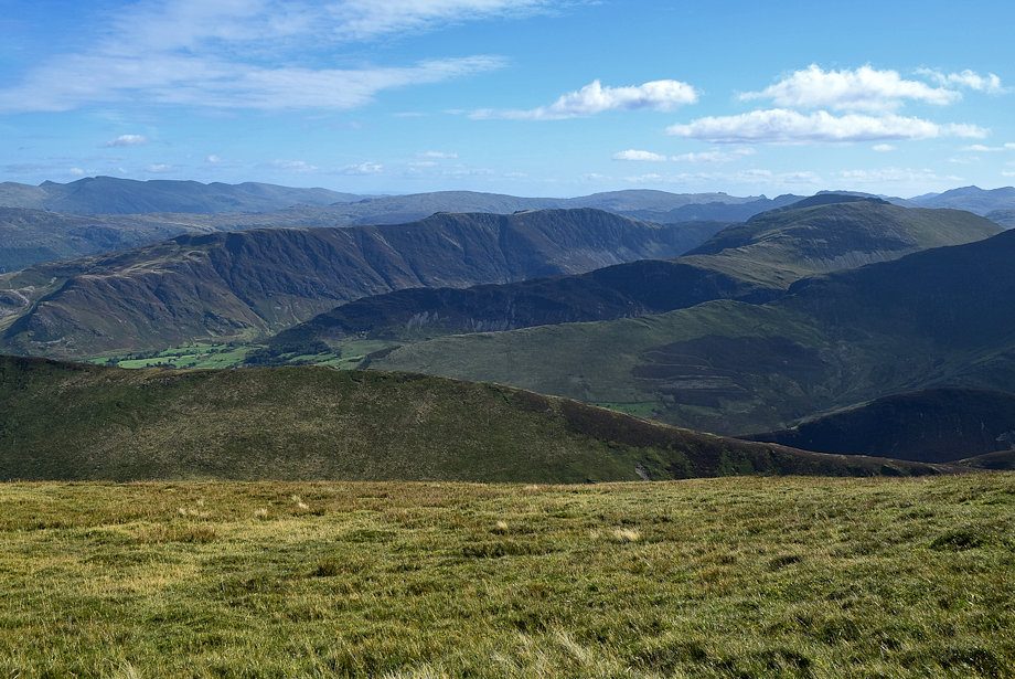
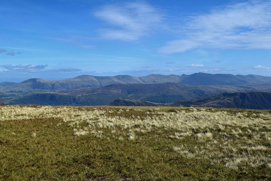
| Looking south-east, Great Rigg, Ullscarf, High Raise, Thunacar Knott, Harrison Stickle, Pike o' Stickle, Glaramara and Swirl How form the horizon with the summits of High Spy, Dale Head and Hindscarth in the middle distance |
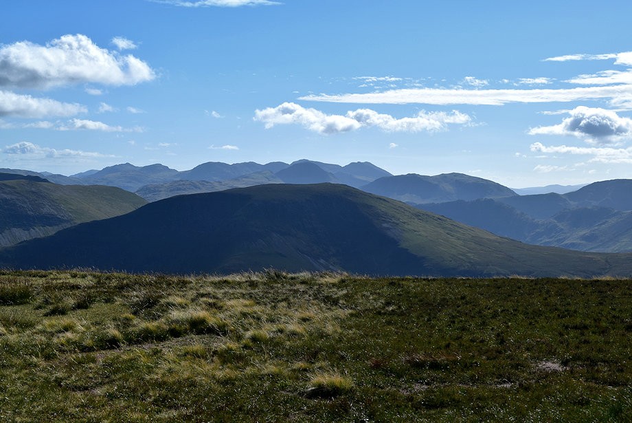 |
| The Scafell range and Great Gable over the summit of Robinson with Bowfell and Esk Pike on the left and Kirk Fell on the right |
