 |
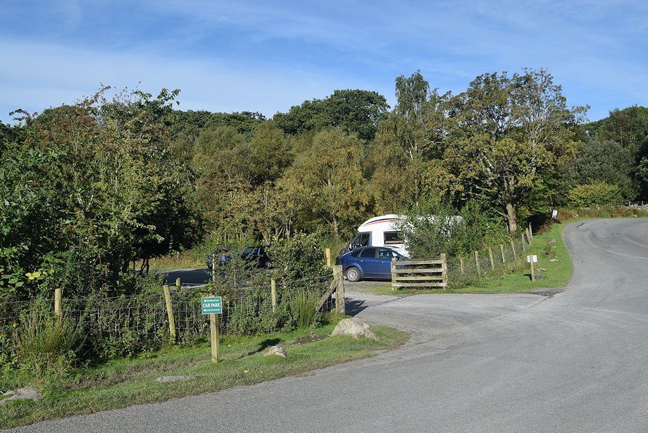
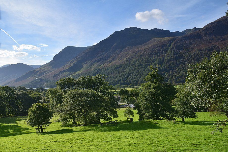
| The National Trust car park on the outskirts of Buttermere is the starting point for this walk |
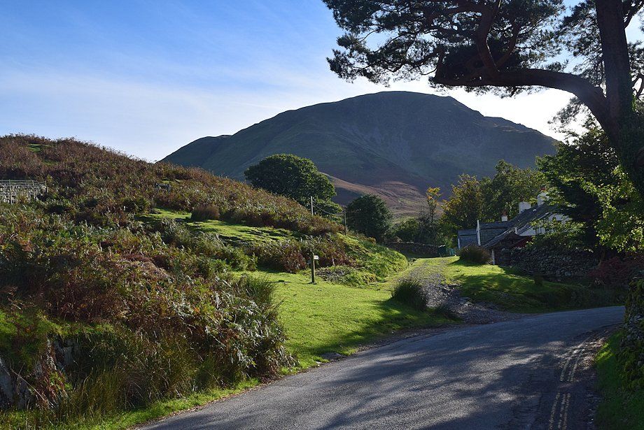 |
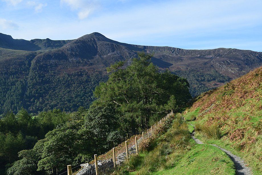
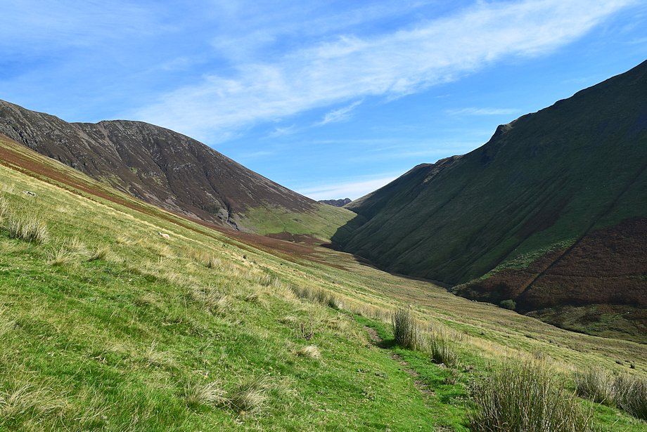
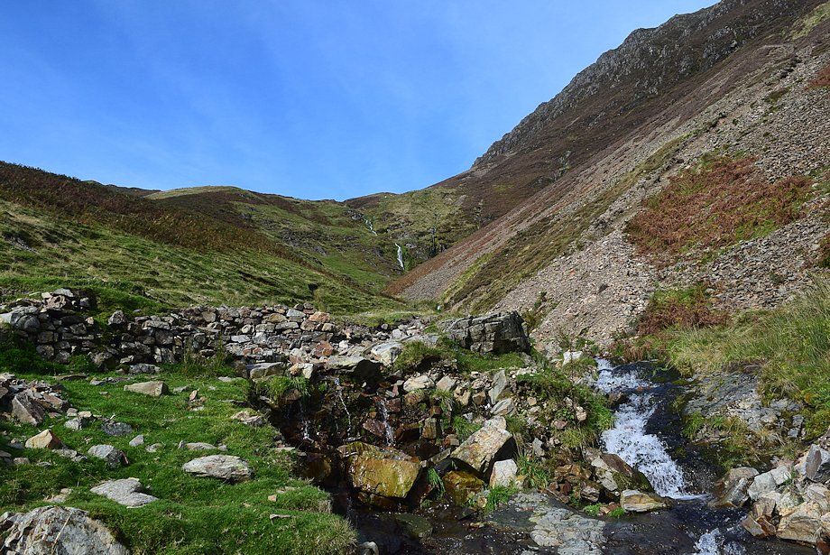
| Almost opposite the car park a signpost indicates the start of a path which passes behind the cottages of Crag Houses to enter the valley of Sail Beck |
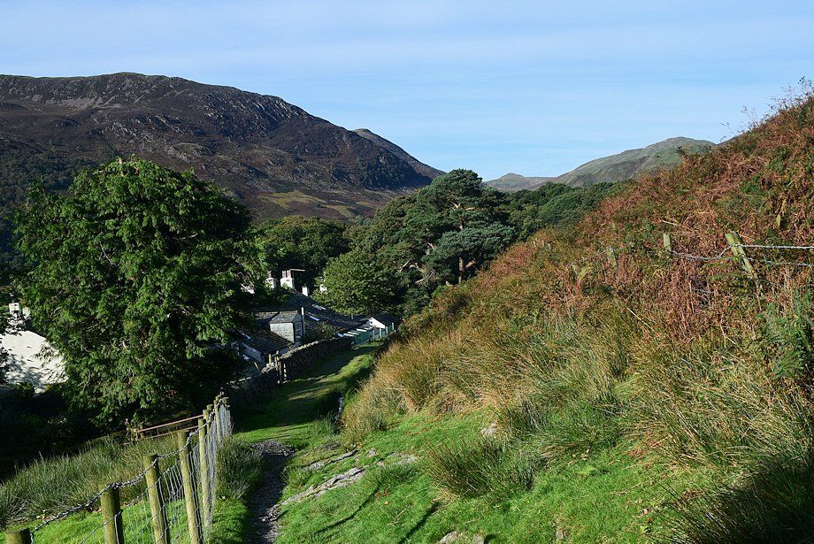 |
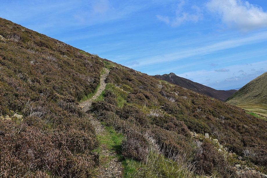
| Looking back to Crag Houses from the path |
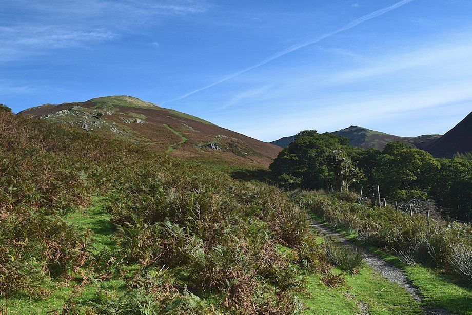 |
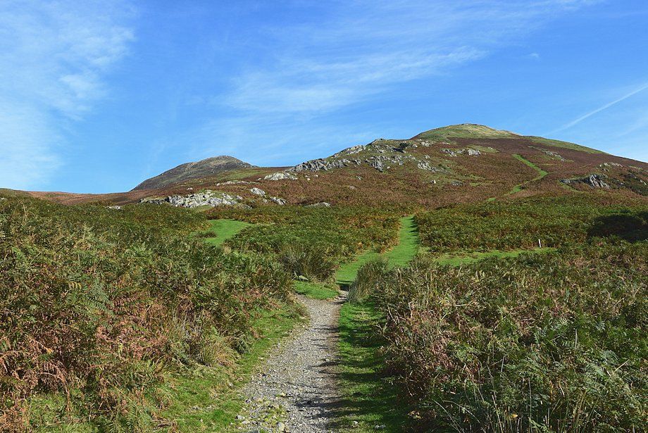
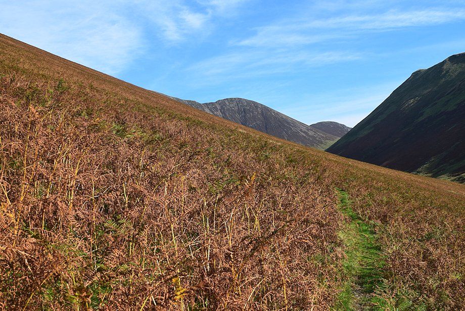
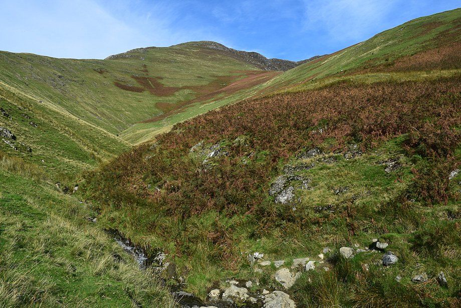
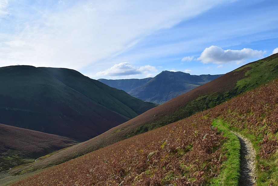
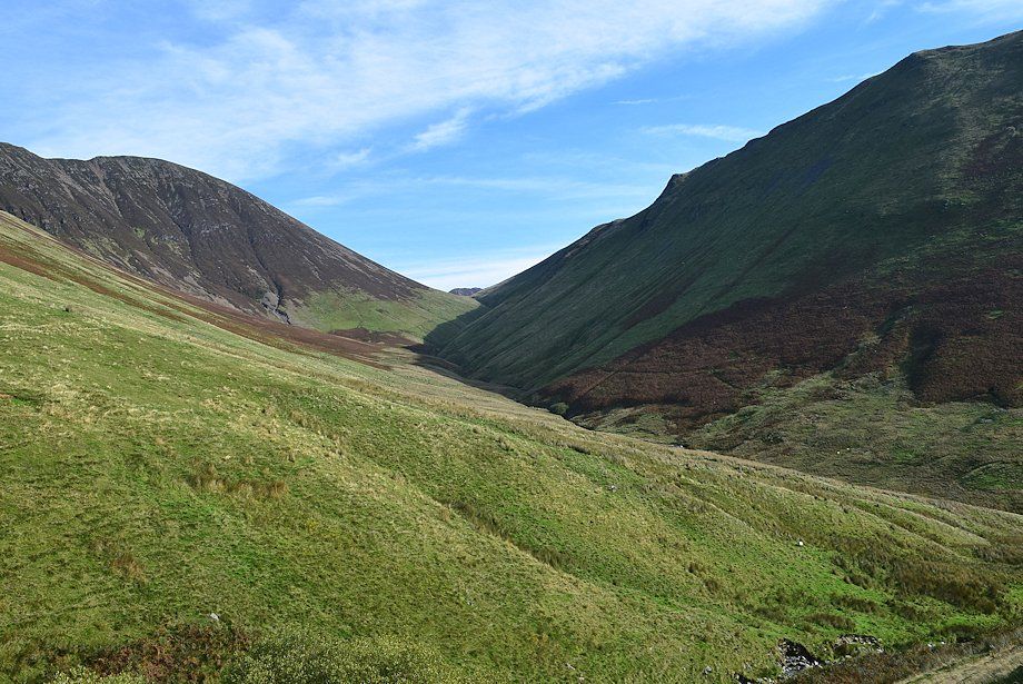
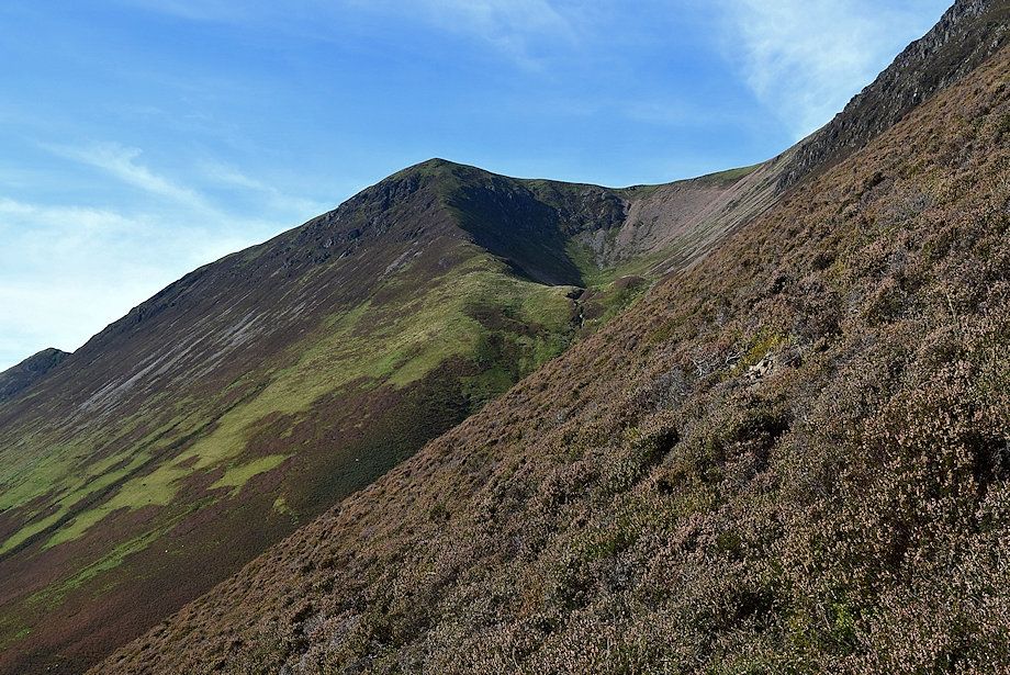
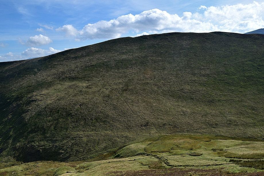
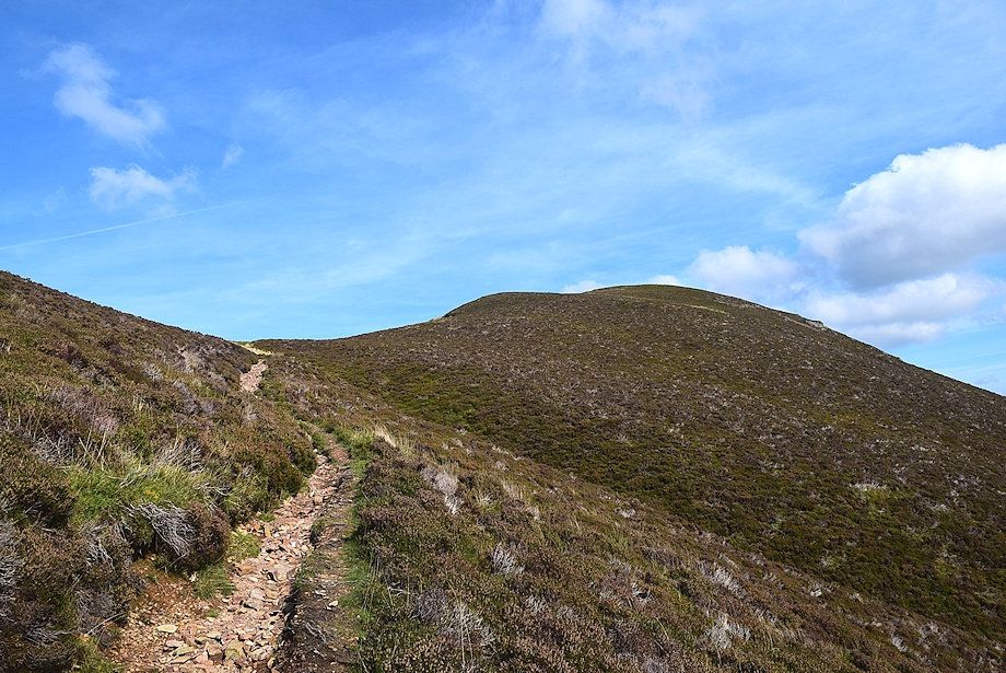
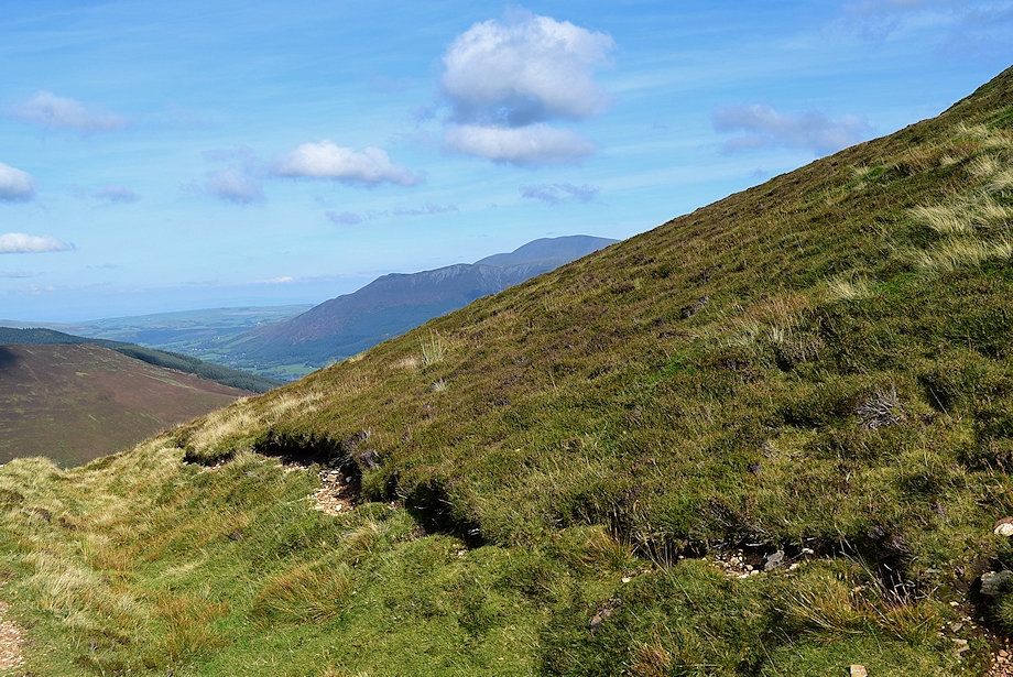
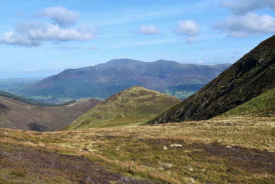
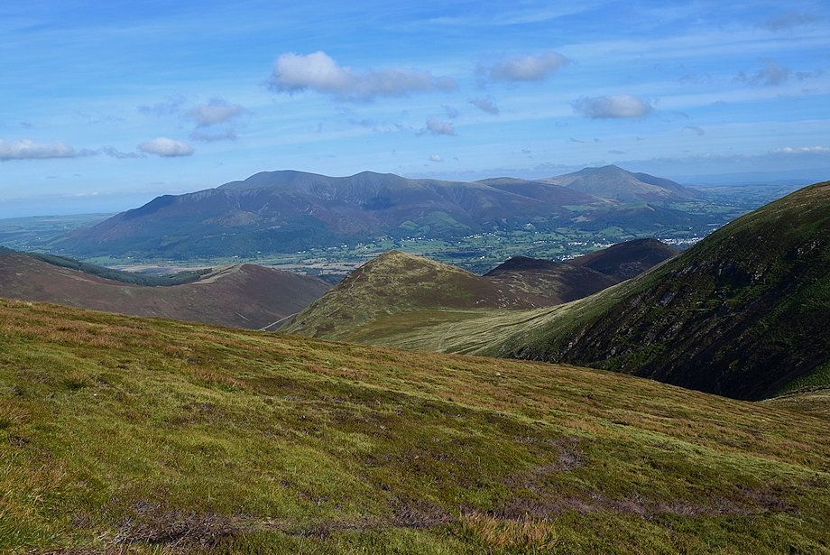
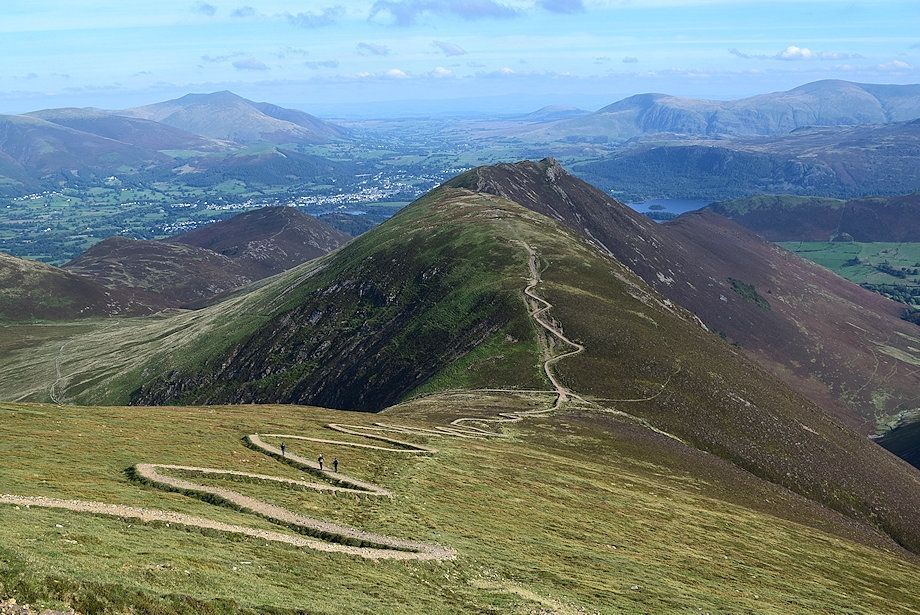
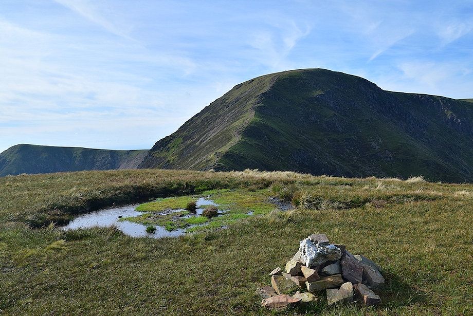
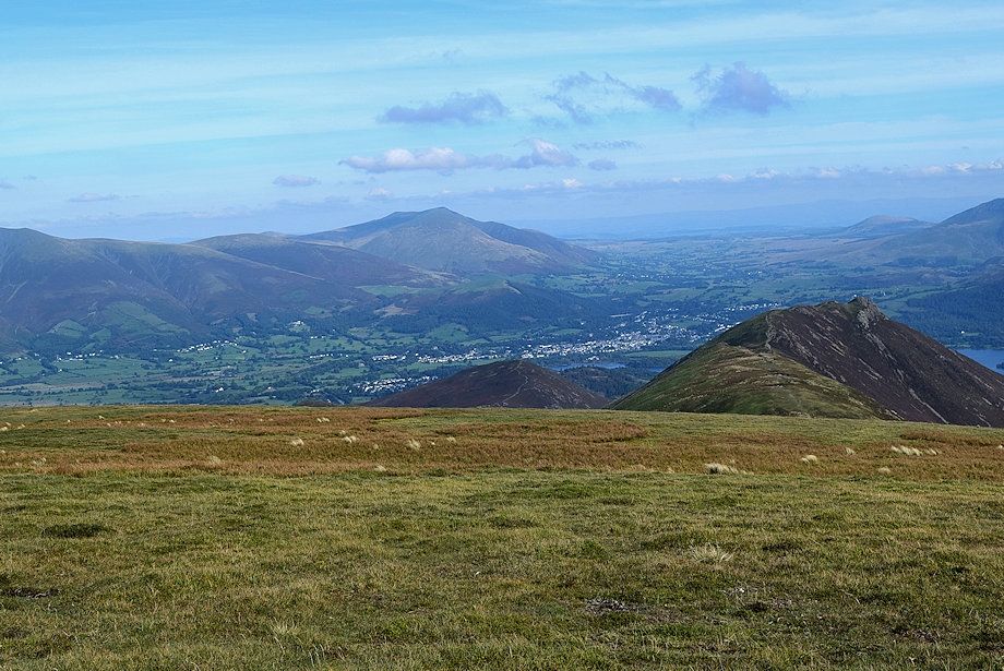
| Whiteless Breast and Knott Rigg |
 |
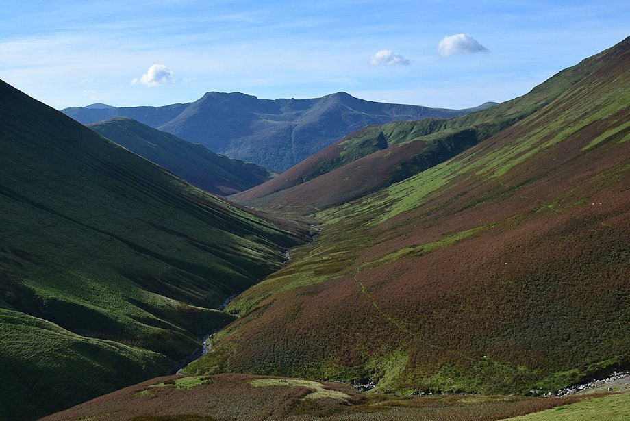
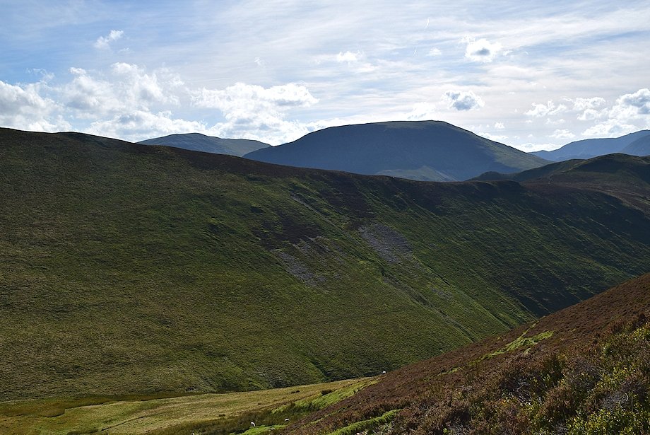
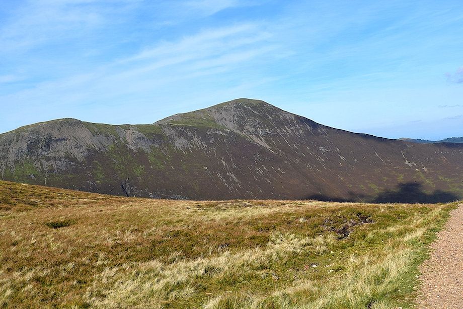
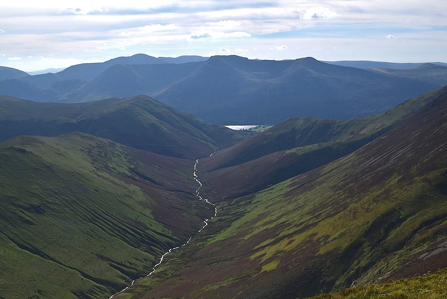
| Looking over to High Crag and High Stile with Haystacks on the left |
 |
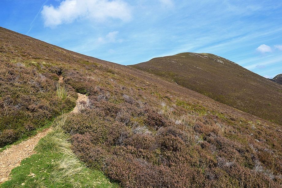
| A quarter of a mile from Crag Houses the path splits. The one on the right continues on into the valley, the other two climb over Whiteless Breast towards the summit of Whiteless Pike |
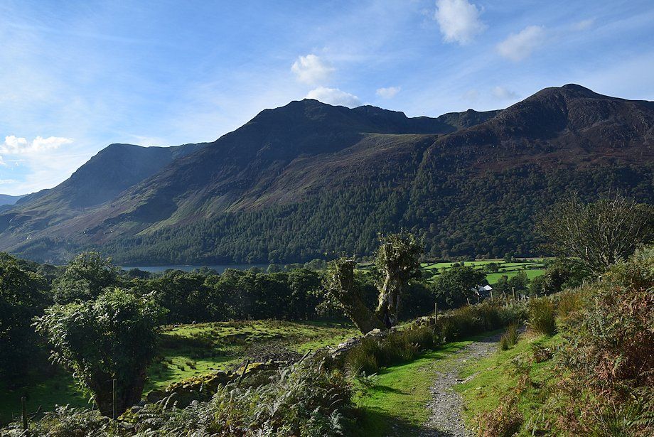 |
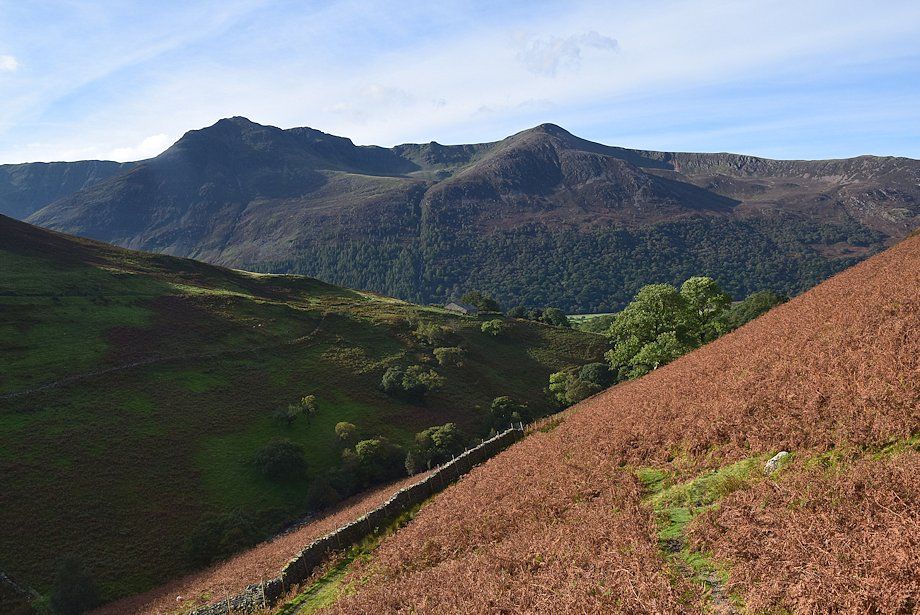
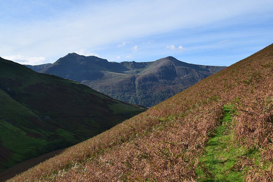
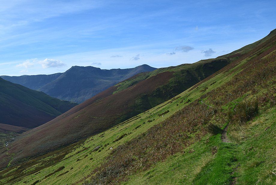
| Looking back to High Crag, High Stile and Red Pike from the point where the path splits |
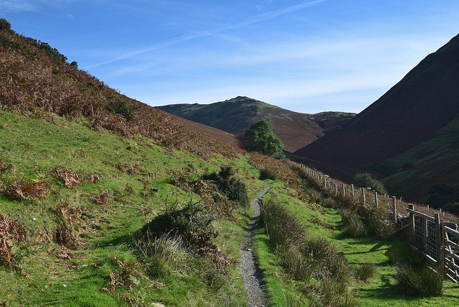 |
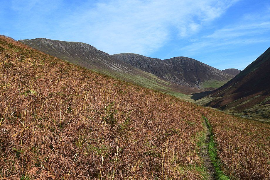
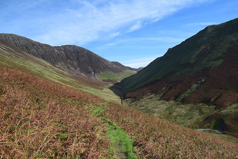
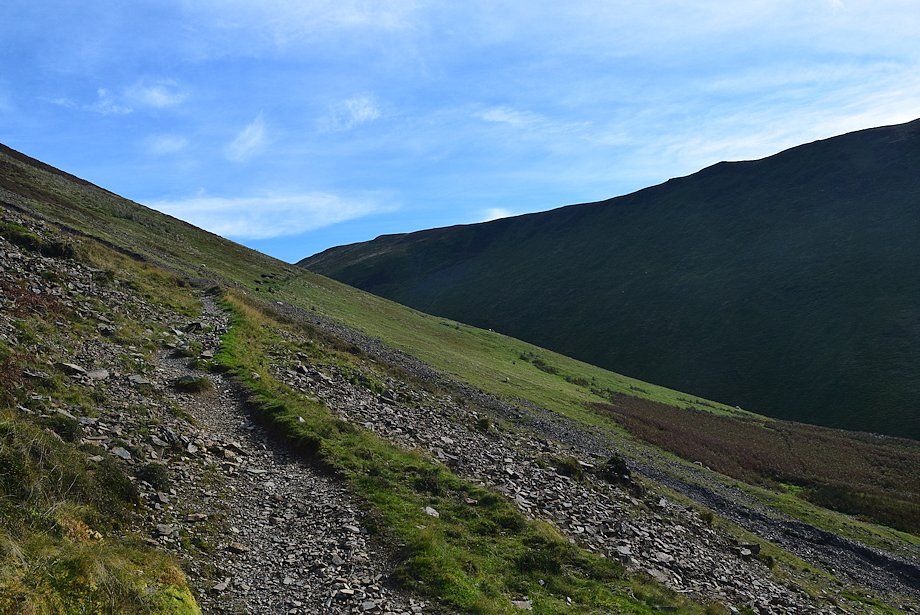
| Continuing into the valley of Sail Beck with Knott Rigg straight ahead |
 |
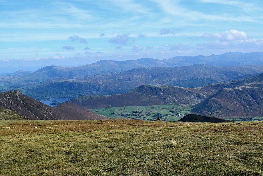
| Looking back to Red Pike and Lingcomb Edge |
 |
| Looking over to High Crag and High Stile |
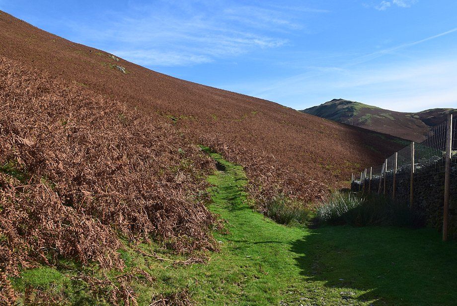 |
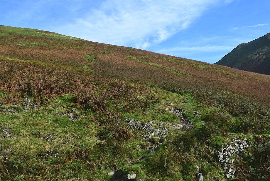
| One mile from Crag Houses the path divides again. The right fork descends to Sail Beck and onwards to a sheepfold beyond which it fades and almost disappears. Follow the left one which offers finer views as it climbs across the eastern slopes of Whiteless Breast |
 |
| Looking back to High Stile and Red Pike from the upper path on Whiteless Breast, the lower path can be seen following the wall |
 |
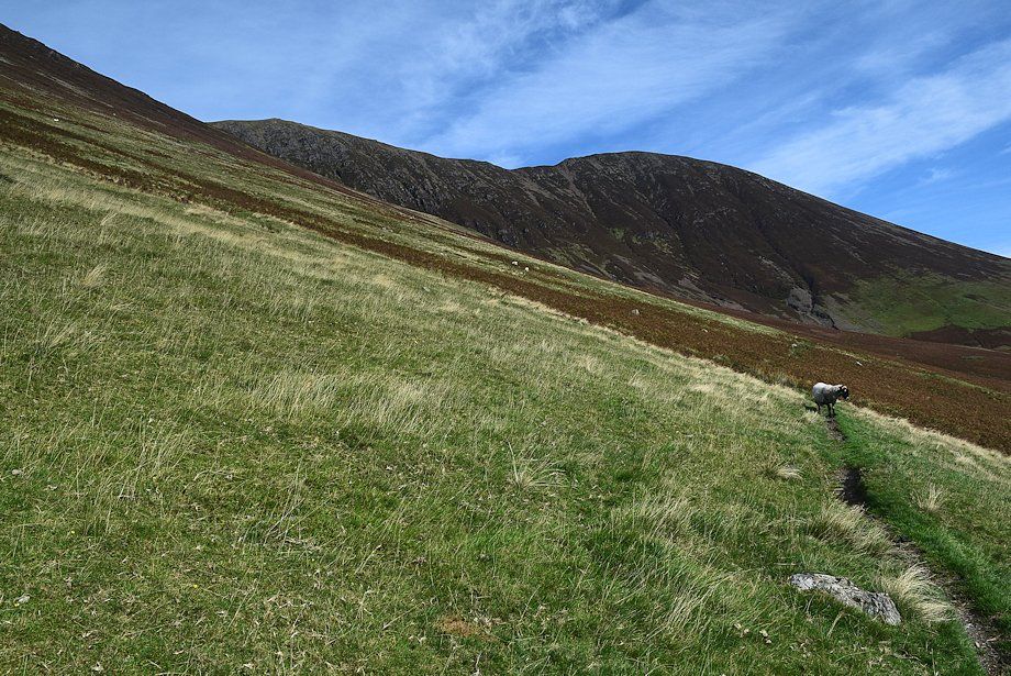
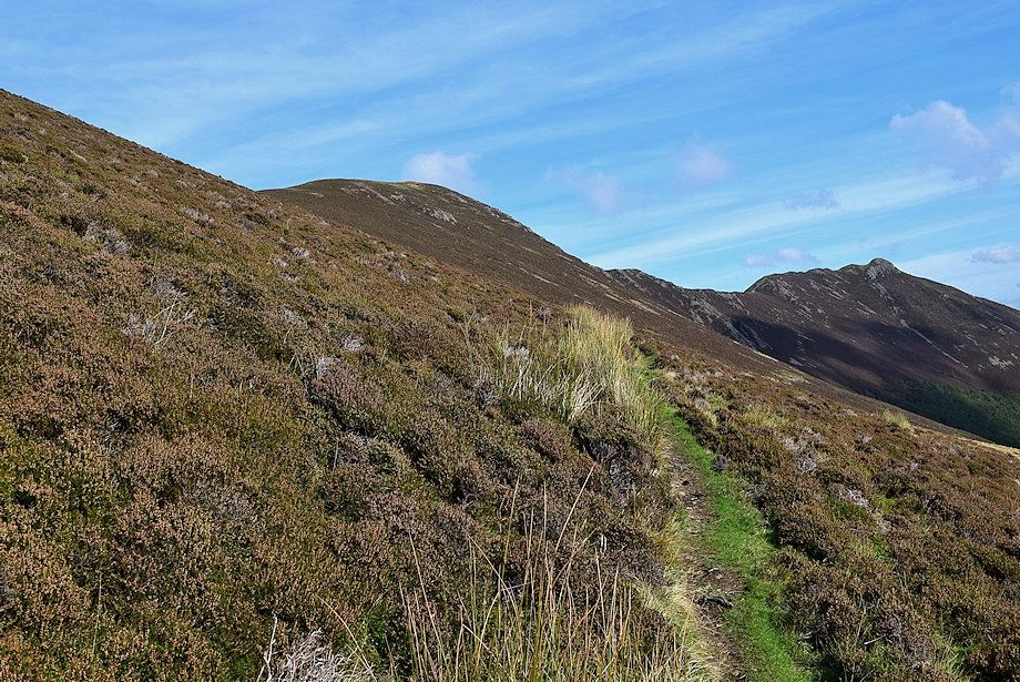
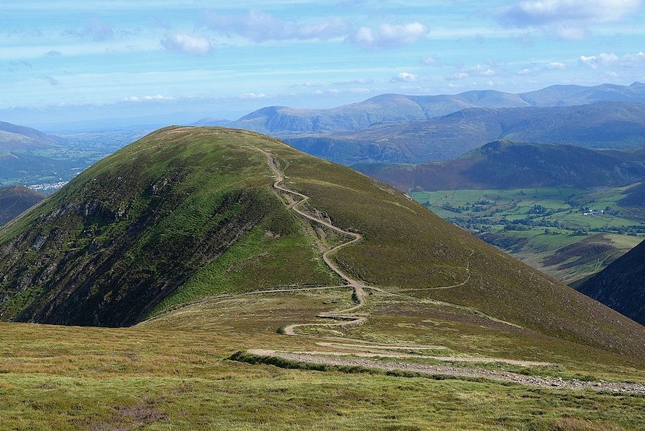
| Knott Rigg from the upper path on Whiteless Breast |
 |
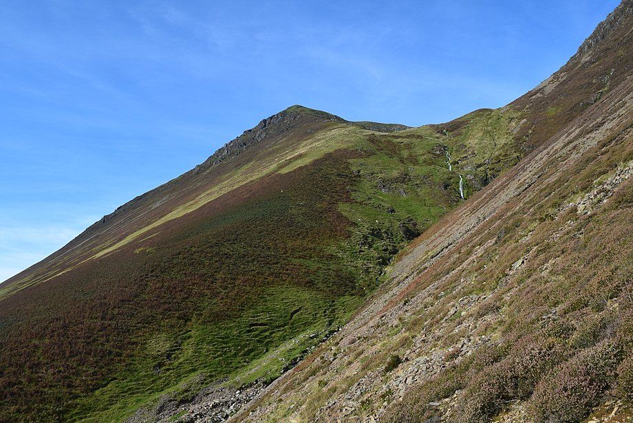
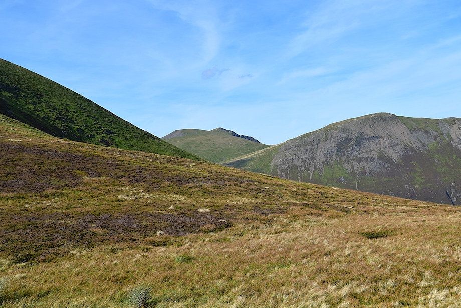
| Sail and Scar Crags come into view |
 |
| Looking back to High Stile and Red Pike from the eastern slopes of Whiteless Breast |
 |
| A little further along the track, Wandope and Eel Crag come into view |
 |
| The path turns into a nameless re-entrant gill |
 |
| The gill is only followed for about 200 yards to a point where the path crosses the stream and switches back to climb out of the gill via the steep southern slopes of Bleak Rigg |
 |
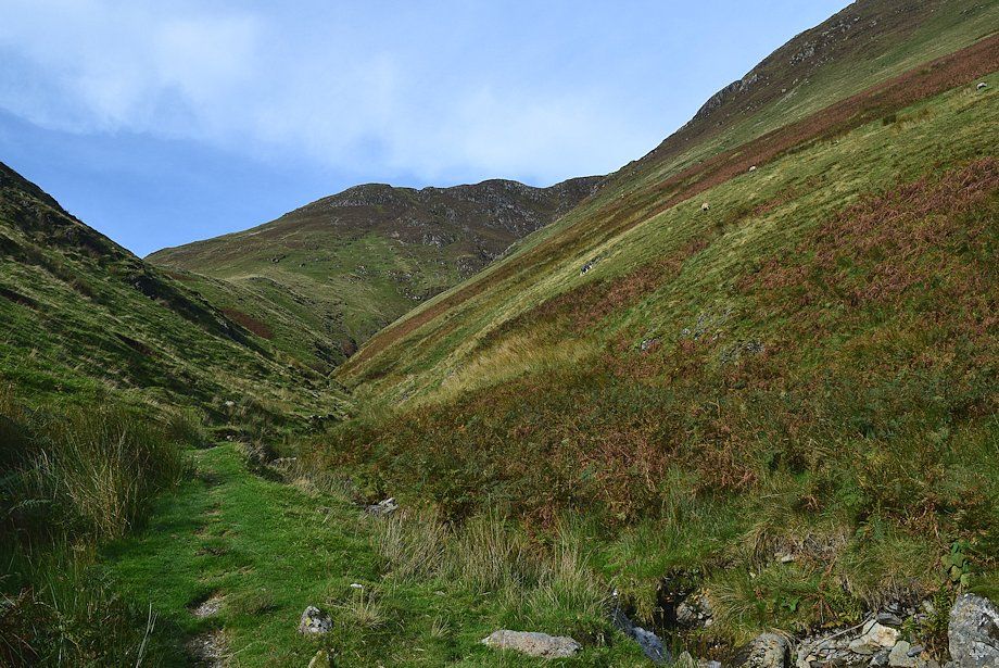
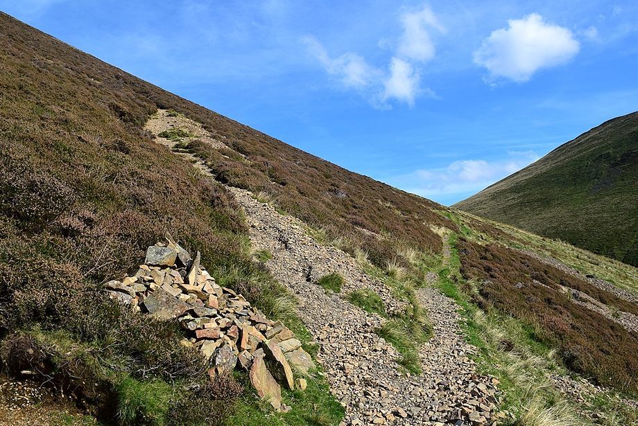
| The path leading up to the east slopes of Bleak Rigg |
 |
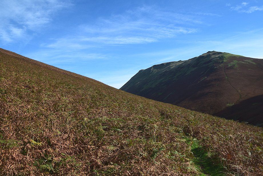
| Looking back, High Stile across the east ridge of Whiteless Breast |
 |
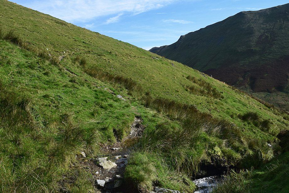
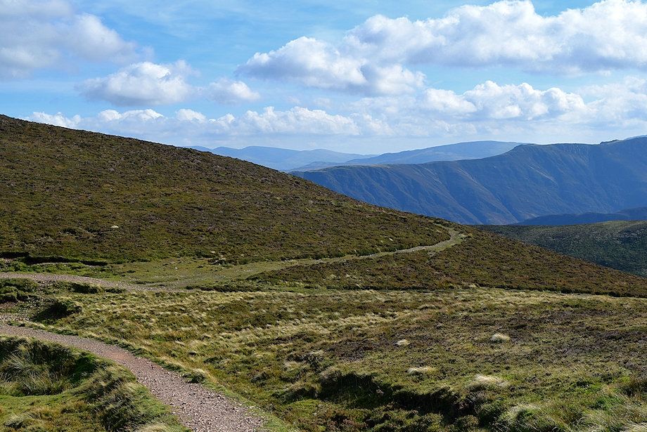
| The path across the eastern slope of Bleak Rigg |
 |
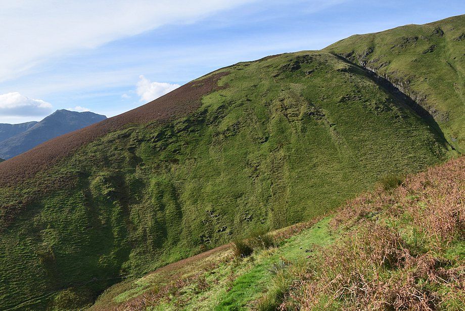
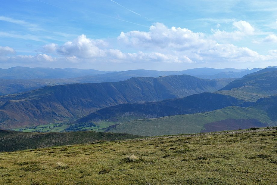
| Looking back from Bleak Rigg to High Snockrigg, High Crag and High Stile |
 |
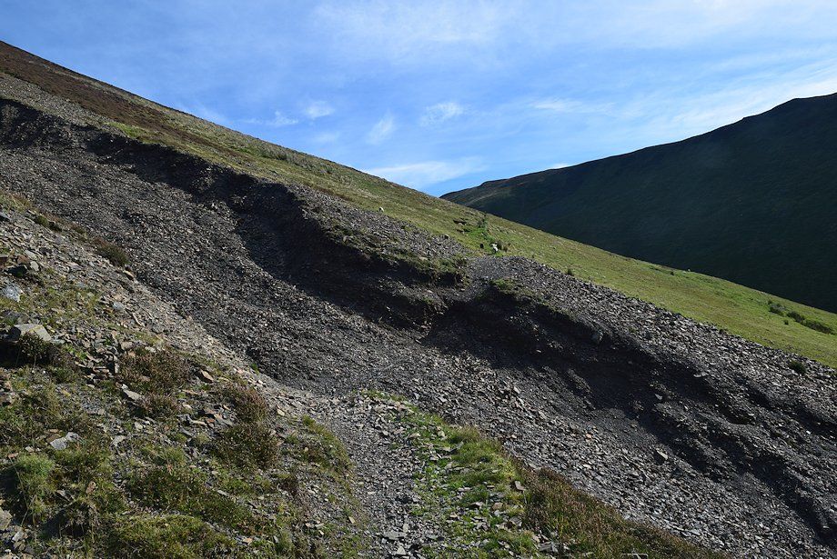
| The path gradually descends as it nears the re-entrant valley of Third Gill |
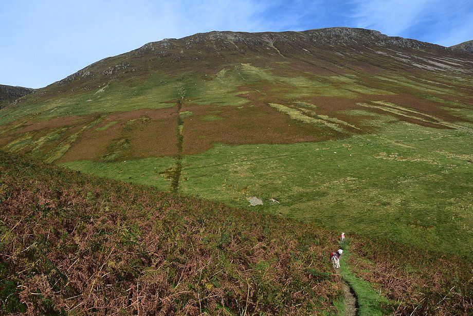 |
| The path descending into Third Gill. Its continuation can be seen in the centre of the photo rising out of the gill to cross the south-eastern slope of Wandope |
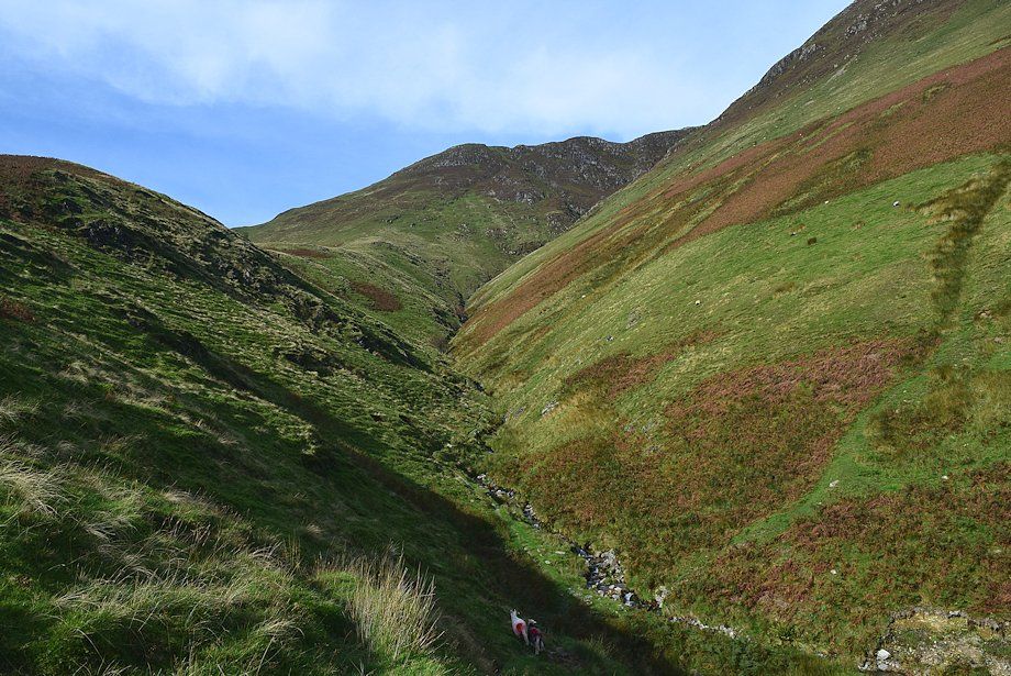 |
| Third Gill |
 |
| The head of the Sail Beck valley from Third Gill |
 |
| The bed of Third Gill is only followed for about 180 yards before the path switches back and climbs out of the gill |
 |
| The path leading out of Third Gill |
 |
| Looking back across Third Gill from the south-eastern slopes of Wandope. The path entering the gill can be seen on the left |
 |
| The distinctive summit ridge of Causey Pike appears over the col between Sail and Ard Crags |
 |
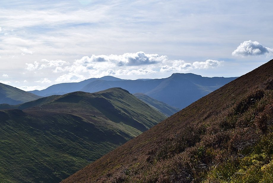
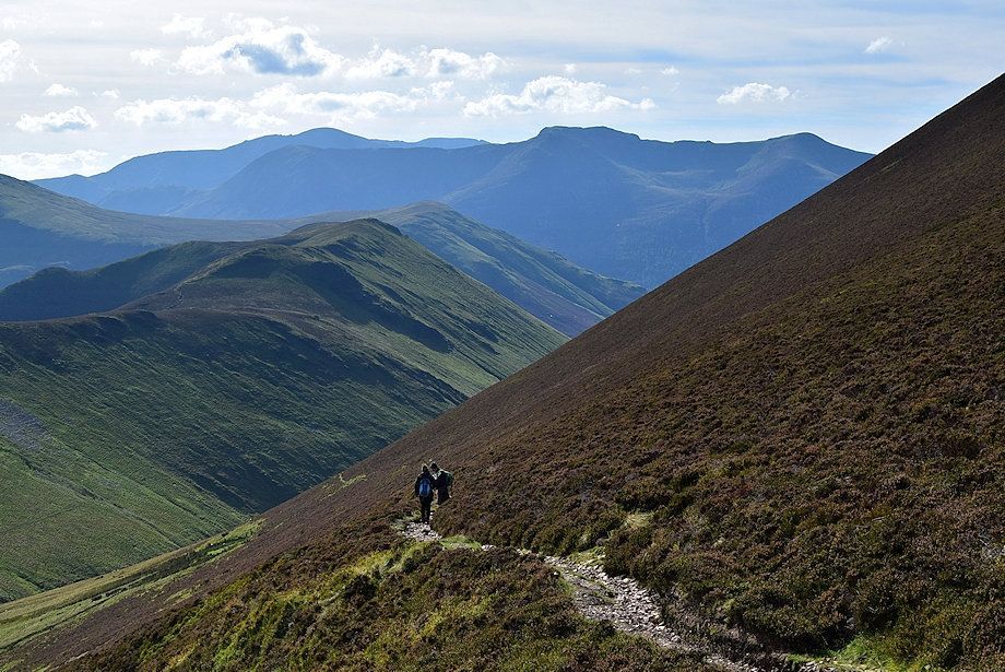
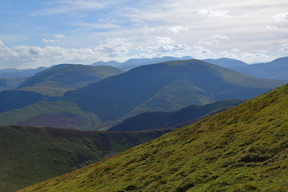
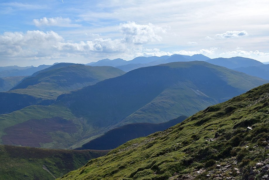
| Looking back to High Crag and Red Pike |
 |
| Eel Crag and Sail as the path approaches Addacomb Beck |
 |
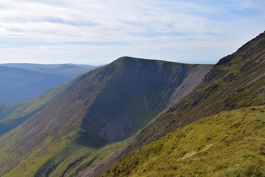
| Looking up to the east ridge of Wandope on the left and Scar Crag on the right flanking the lip of Addacomb Hole |
 |
| Addacomb Beck which is easily forded below an old sheepfold |
 |
| Continuing on past Addacomb Beck the path traverses across a scree slope |
 |
| Looking back to the east ridge of Wandope from the scree slope above Addacomb Beck |
 |
| The path crosses a deep erosion gully on the scree slope then continues more easily on the other side of the gully over grass and heather to the high saddle between Sail and Ard Crags at the head of the valley |
 |
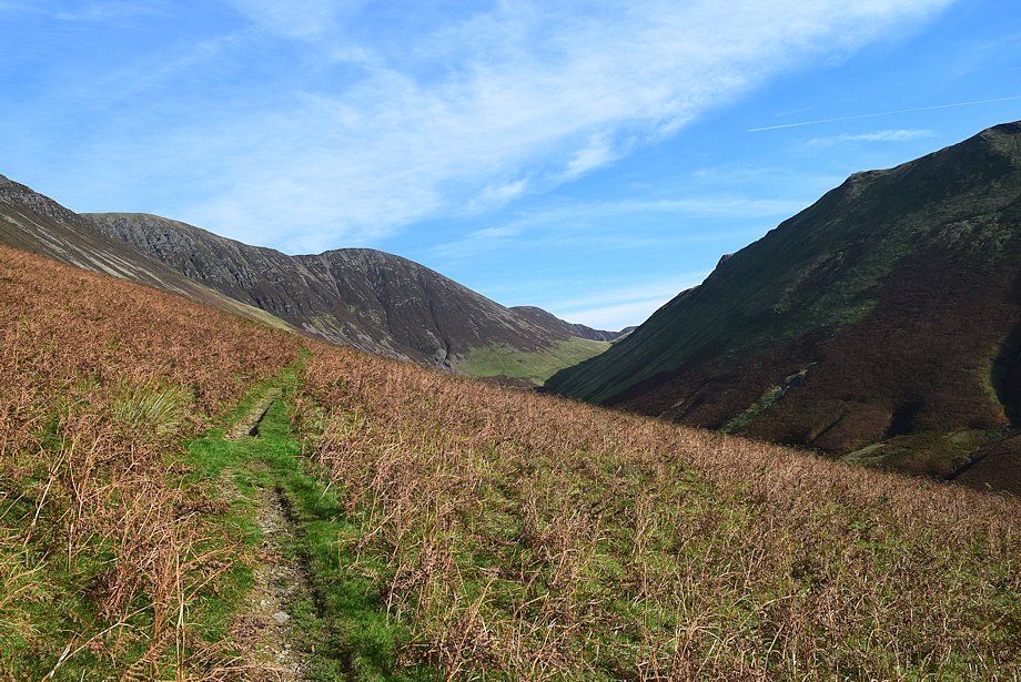
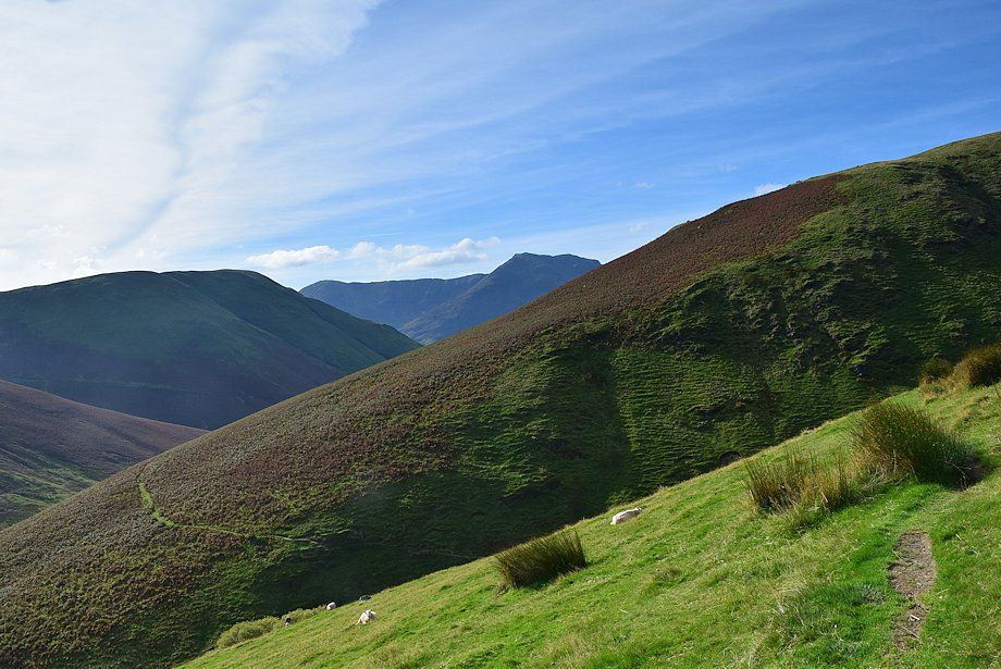
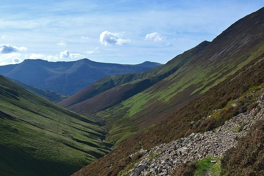
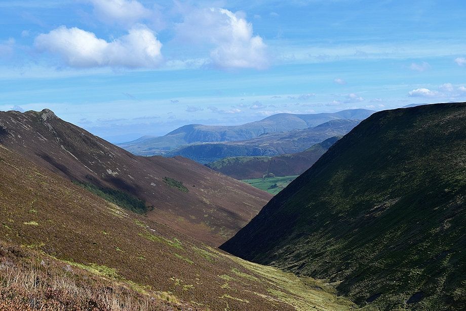
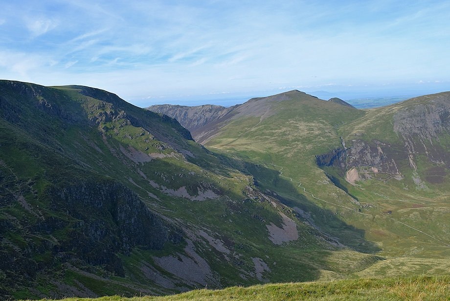
| Looking back along the valley of Sail Beck |
 |
| A marker cairn indicates the start of the path which makes a rising traverse of the heather slope to Sail Pass. The path to the high saddle between Sail and Ard Crags continues straight ahead |
 |
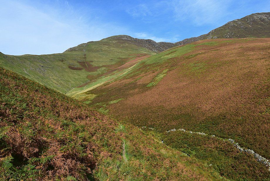
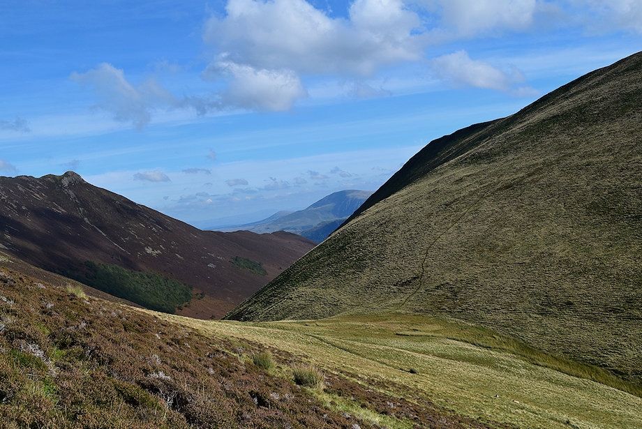
| Wandope and Addacomb Hole from the marker cairn |
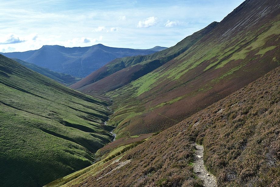 |
| The valley of Sail Beck from the path to Sail Pass |
 |
| The summit ridge of Causey Pike from the path to Sail Pass |
 |
| The path crosses a few scree-runnels on the way to Sail Pass otherwise it is well defined throughout its length |
 |
| Scar Crags and Causey Pike from the path to Sail Pass |
 |
| Looking down to the high saddle between Sail and Ard Crags |
 |
| Looking over the saddle to the summit of Ard Crags |
 |
| Scar Crags from the upper part of the path |
 |
| The valley of Rigg Beck from the path to Sail Pass |
 |
| High Crag and Pillar over Knott Rigg on the left with High Stile on the right from the path to Sail Pass |
 |
| Approaching Sail Pass |
 |
| Robinson over the Ard Crags ~ Knott Rigg ridge |
 |
| Sail Pass |
 |
| Looking back along the ascent path to Sail Pass |
 |
| Skiddaw from Sail Pass |
 |
| Hobcarton Head and Grisedale Pike from Sail Pass |
 |
| Hopegill Head and Hobcarton Head from Sail Pass |
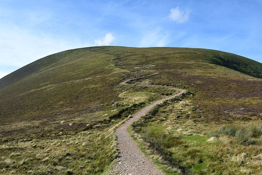 |
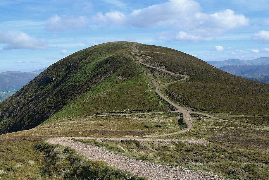
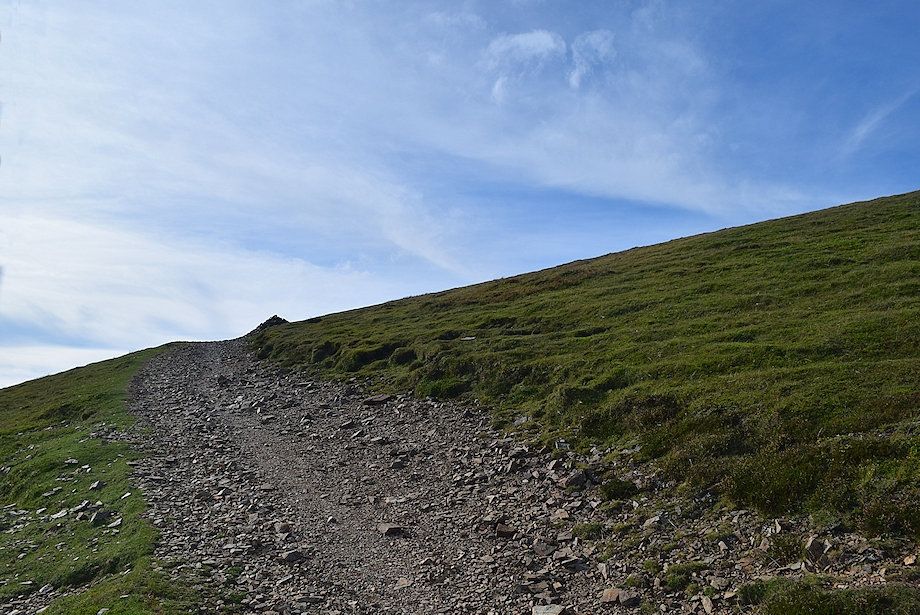
| The inverted soil engineered path leading up to the summit of Sail |
 |
| Skiddaw over Outerside from the start of the climb to Sail |
 |
| Ullscarf and High Spy from the start of the climb to Sail |
 |
| Scar Crags from the start of the climb to Sail |
 |
| The Newlands Valley with the east top of Ard Crags in the foreground |
 |
| Skiddaw and Blencathra over the peaks of Kinn, Outerside, Stile End and Barrow |
 |
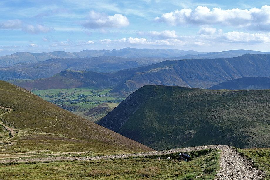
| Looking back from the halfway point on the engineered path on Sail |
 |
| The upper part of the engineered path on Sail |
 |
| Looking over the Ard Crags ~ Knott Rigg ridge to Dale Head, Hindscarth and Robinson |
 |
| Scar Crags and Causey Pike from high on the engineered path |
 |
| Looking over towards Dale Head, Hindscarth and Robinson |
 |
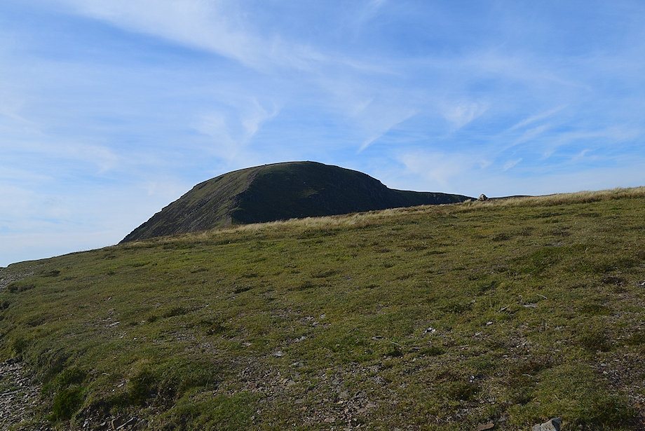
| A marker cairn appears on the skyline, on reaching it the summit comes into view |
 |
| The summit cairn lies about 25 yards to the right of the path |
 |
| The summit cairn on Sail |
 |
| Eel Crag, Whiteside, Hopegill Head and Ladyside Pike from the summit of Sail |
 |
| Hobcarton Head and Grisedale Pike from the summit of Sail |
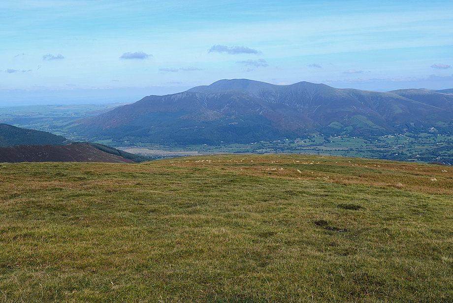 |
| Skiddaw from the summit of Sail |
 |
| Blencathra from the summit of Sail |
 |
| Looking east from the summit of Sail, Great Mell Fell, Clough Head, Great Dodd, Stybarrow Dodd, Raise, White Side, Catstycam, Helvellyn and Nethermost Pike form the horizon |
 |
| Looking south-east from the summit of Sail, Helvellyn, Nethermost Pike, Dollywaggon Pike, Fairfeld, Great Rigg, Ullscarf, High Raise, Thunacar Knott, Harrison Stickle, Pike o' Stickle and Glaramara form the horizon with the Maiden Moor ~ High Spy ridge in the middle distance |
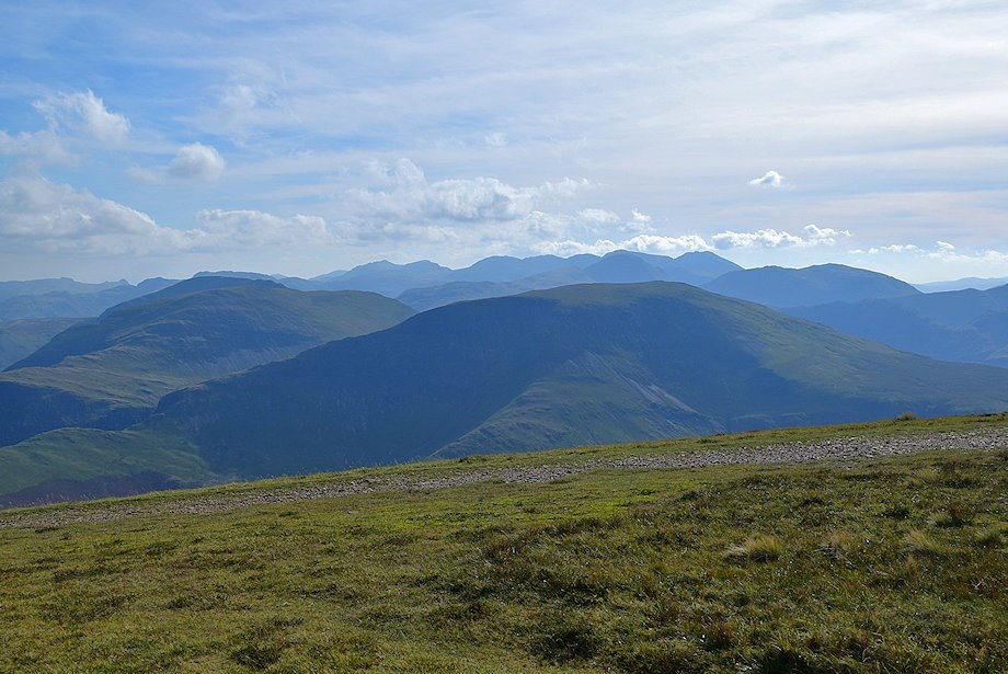 |
| Glaramara, Black Sails, Swirl How, Bow Fell, Esk Pike, Great End, Ill Crag, Broad Crag, Scafell Pike, Scafell and Kirk Fell form the skyline over the summits of Dale Head, Hindscarth and Robinson in the middle distance |
 |
| The valley of Sail Beck from the summit of Sail |
 |
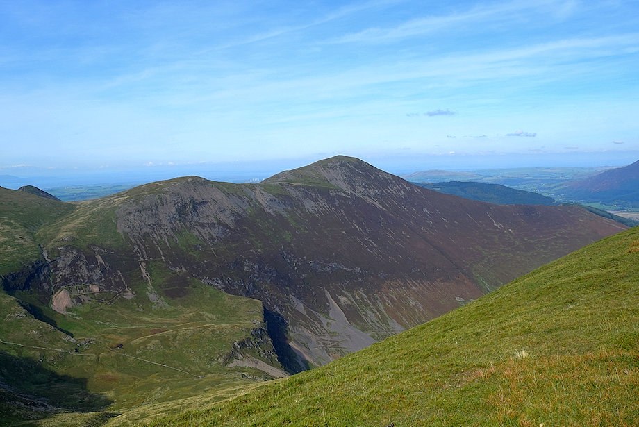
| Wandope and Addacomb Hole from the summit of Sail |
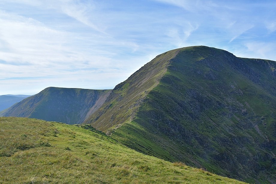 |
| Wandope and the connecting ridge to the summit of Eel Crag |
