 |
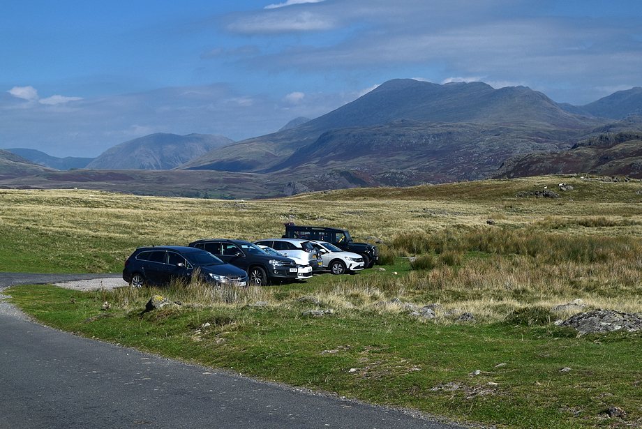
| The walk starts from the access lane to High Ground Farm where there is room to park half a dozen cars on the verge |
 |
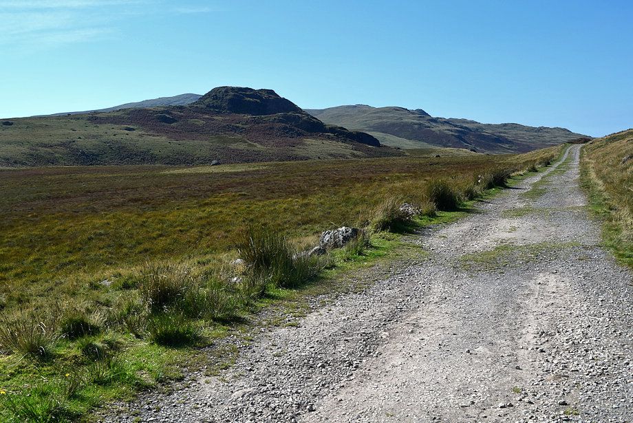
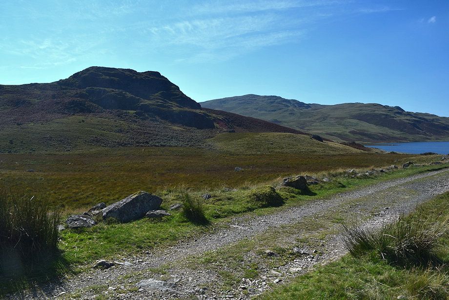
| Directly opposite the car parking area is the start of the bridleway track to Devoke Water |
 |
| Seat How from the bridleway |
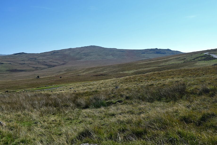 |
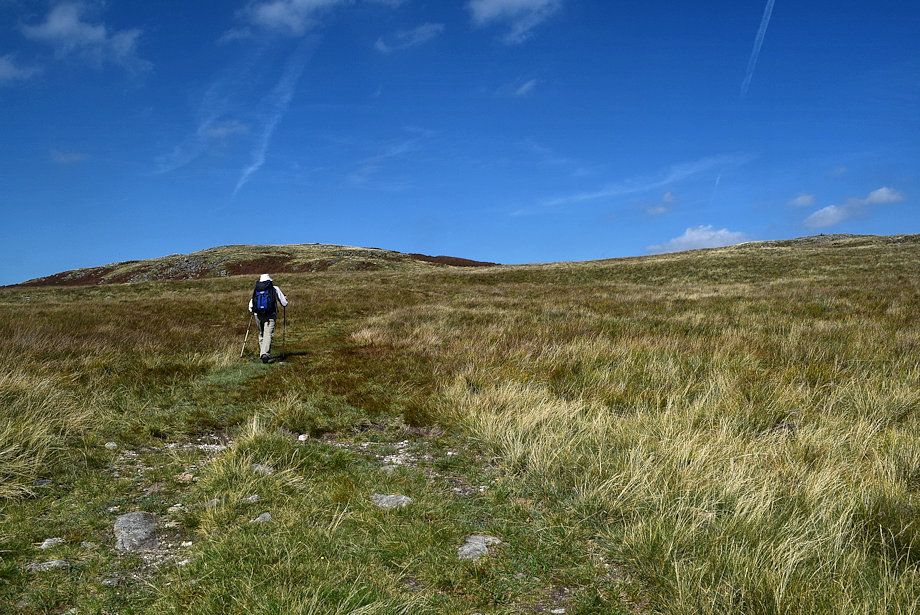
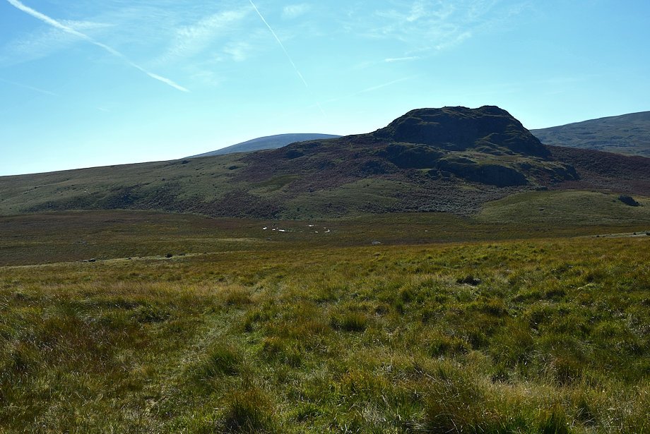
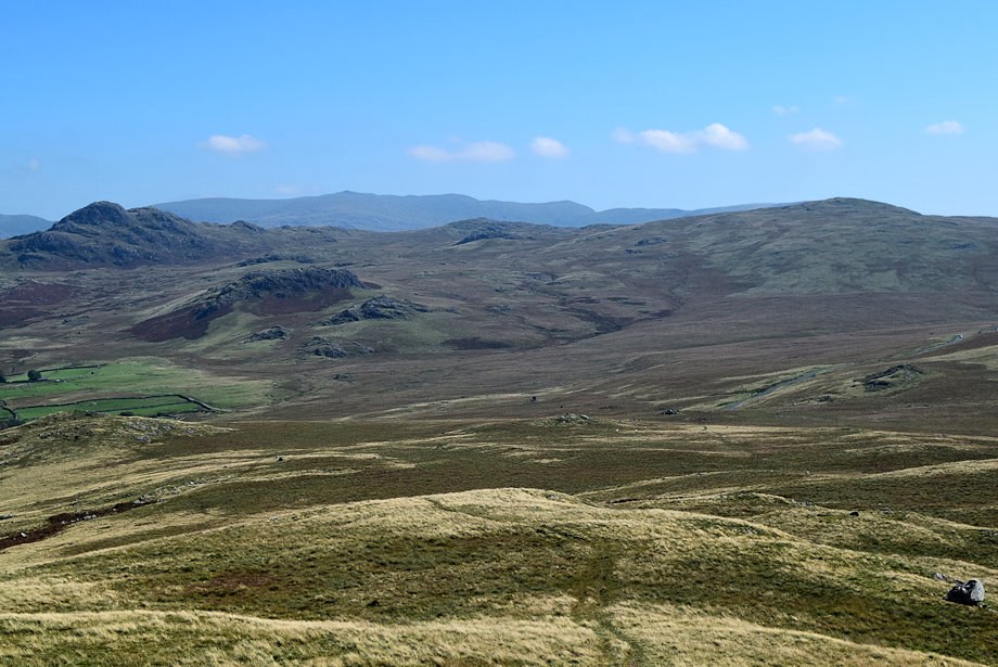
| Great Worm Crag from the bridleway |
 |
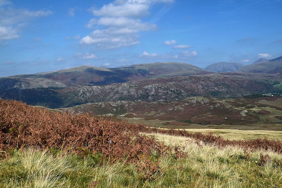
| Looking back to Harter Fell over Crook Crag with Green Crag on the right |
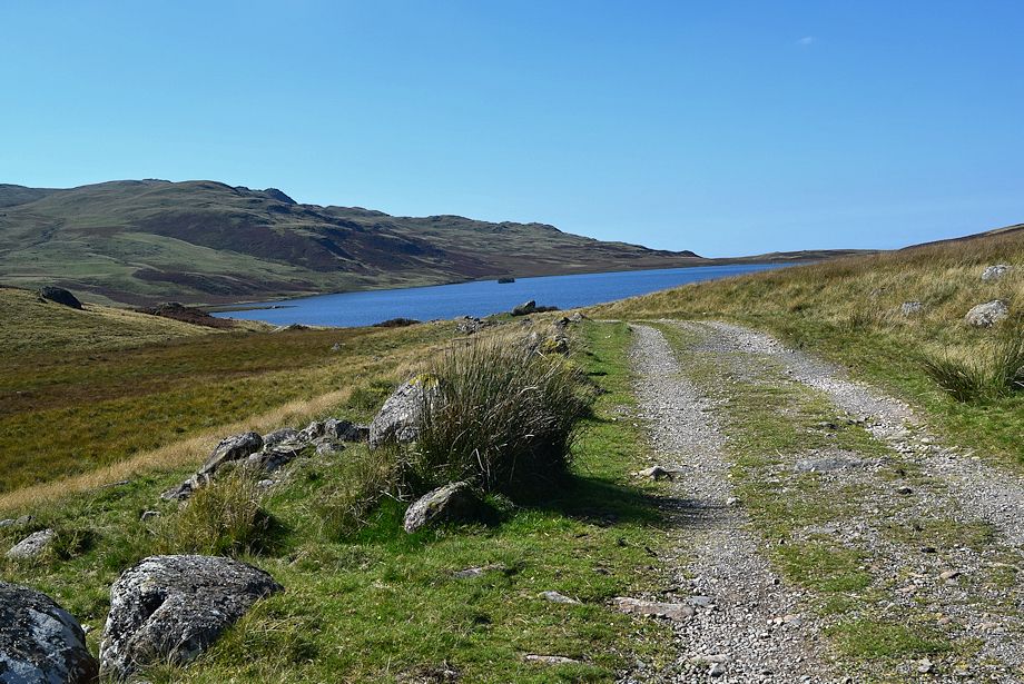 |
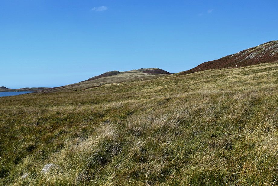
| Devoke Water comes into view |
 |
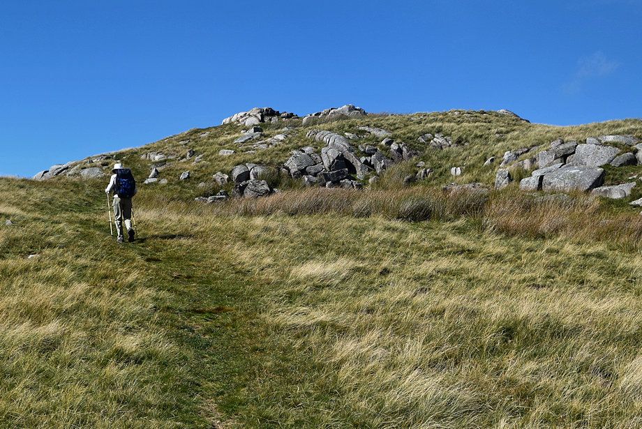
| Just before the bridleway begins to descend towards Devoke Water a path turns off it to climb the gentle south eastern slopes of Rough Crag |
 |
| Seat How and Woodend Height from the start of the path to Rough Crag |
 |
| Looking over towards Water Crag from the path to Rough Crag |
 |
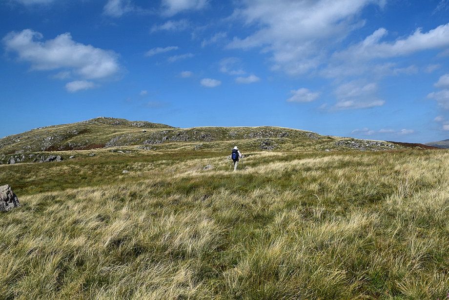
| On the path to Rough Crag which becomes a little indistict in places and almost disappears on reaching a level shoulder |
 |
| Looking back to Hesk Fell and Seat How |
 |
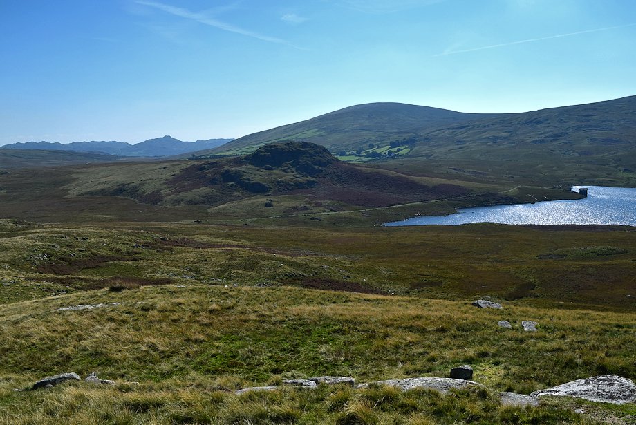
| Woodend Height and White Pike across Devoke Water |
 |
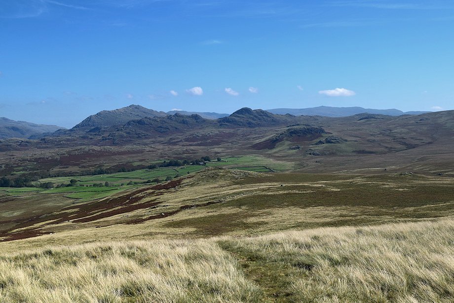
| Looking back to Caw and Sticke Pike on the horizon |
 |
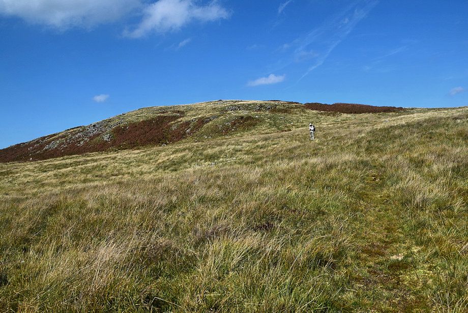
| On reaching the level shoulder the summit of Rough Crag comes into view, veer half right to avoid the low crags ahead |
 |
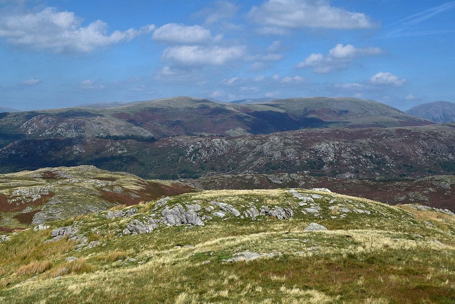
| Harter Fell and Green Crag from the level shoulder |
 |
| Scafell from the level shoulder |
 |
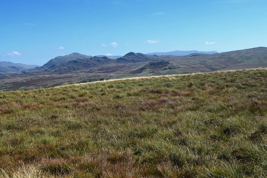
| Crinkle Crags from the level shoulder |
 |
| We join a much clearer path which rises along the broad and ill-defined east ridge from Pike How |
 |
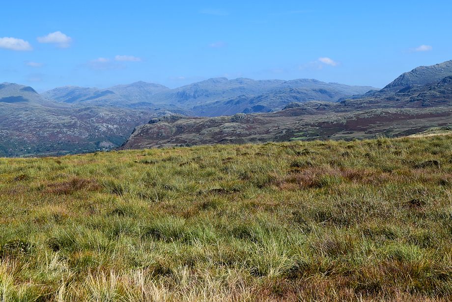
| Whin Rigg, Illgill Head, Kirk Fell and Great Gable from the east ridge |
 |
| Looking down the east ridge to Pike How |
 |
| The path from Pike How leads directly to the summit of Rough Crag |
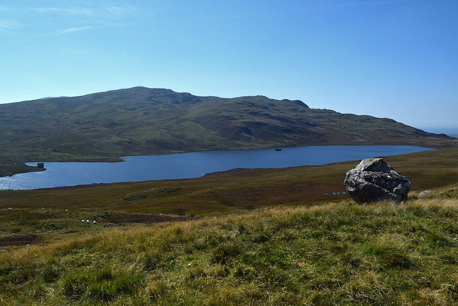 |
| Devoke Water from the path to the summit |
 |
| Seat How and Hesk Fell from the path to the summit |
 |
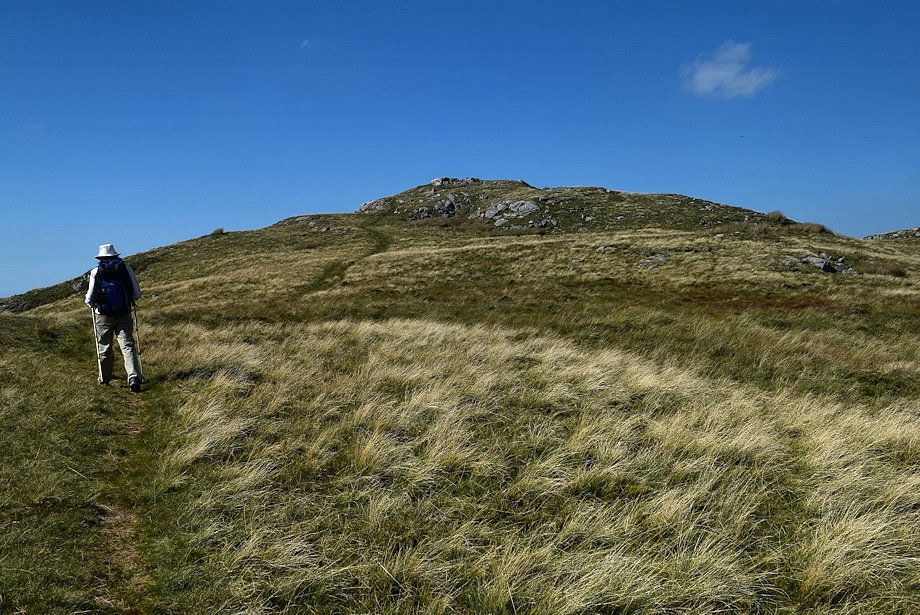
| Approaching the summit of Rough Crag |
 |
| The summit cairn on Rough Crag looking towards Muncaster Fell |
 |
| Whin Rigg and Illgill Head from the summit of Rough Crag |
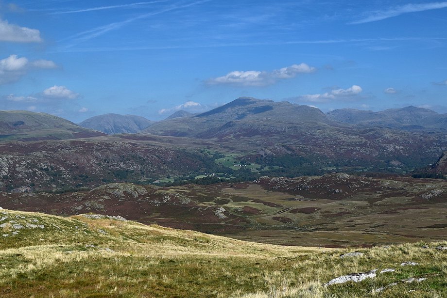 |
| Kirk Fell, Great Gable, Scafell, Esk Pike and Bowfell from the summit of Rough Crag |
 |
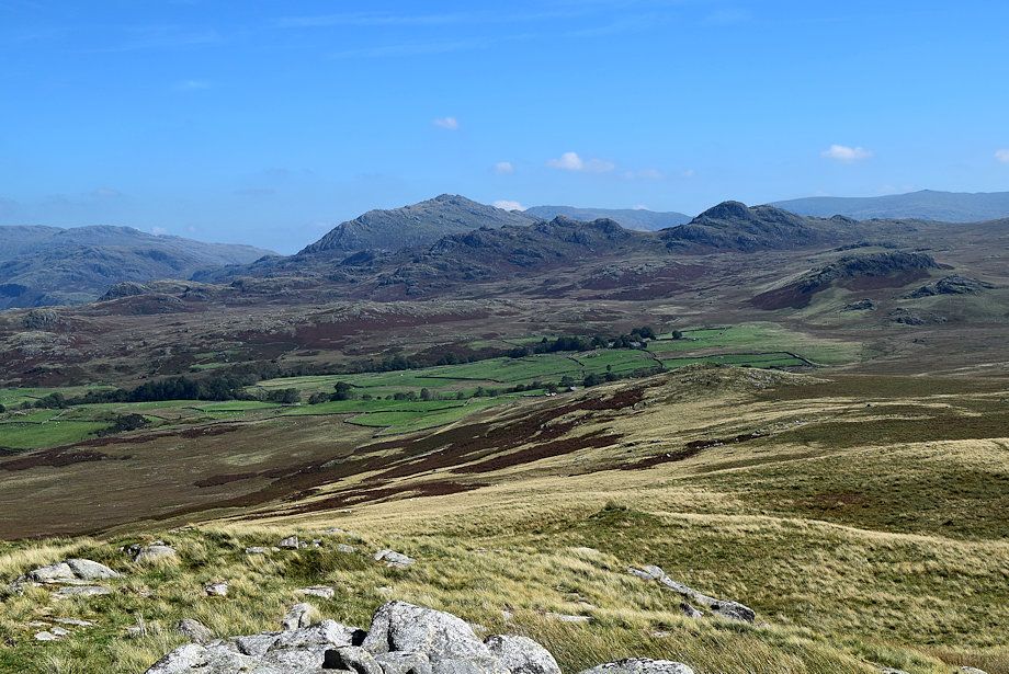
| Esk Pike, Bowfell and Crinkle Crags from the summit of Rough Crag |
 |
| Harter Fell, Crook Crag and Green Crag from the summit of Rough Crag |
 |
| The Coniston Fells over the ridge between Green Crag and Great Worm Crag |
 |
| Seat How and Hesk Fell from the summit of Rough Crag |
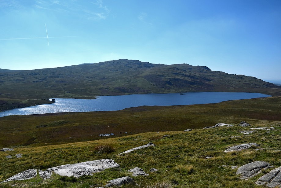 |
| Devoke water backed by Woodend Height and White Pike from the summit of Rough Crag |
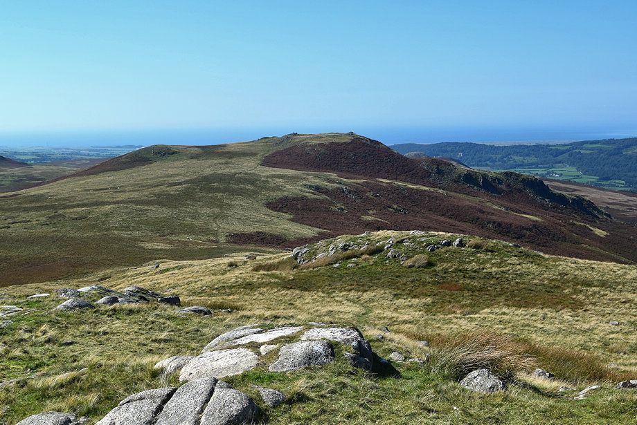 |
| The connecting ridge to Water Crag |