 |
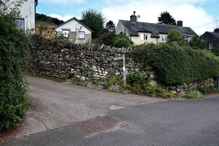
| After parking in the village we make our way up to Brow Lane |
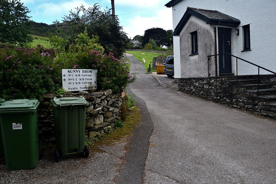 |
| The footpath sign points to a short narrow lane between cottages ..... |
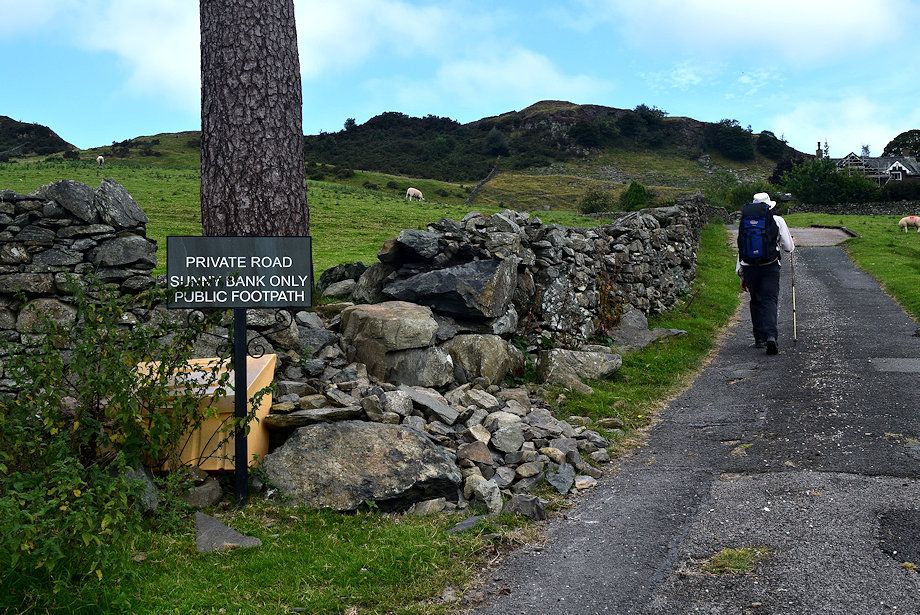 |
| ..... and up a private road to Sunny Bank |
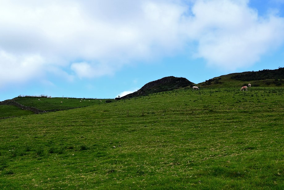 |
| Reston Scar from the private road |
 |
| Passing Sunny Bank House |
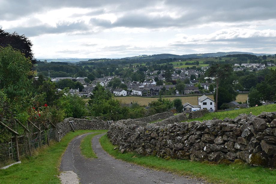 |
| Looking back to Staveley from Sunny Bank |
 |
| Beyond the house the metalled road continues on as a rough track |
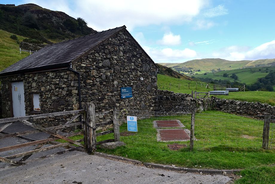 |
| Passing a waterworks building and covered reservoir |
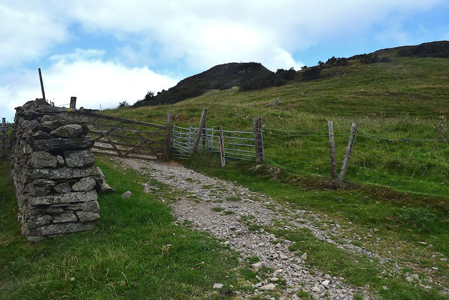 |
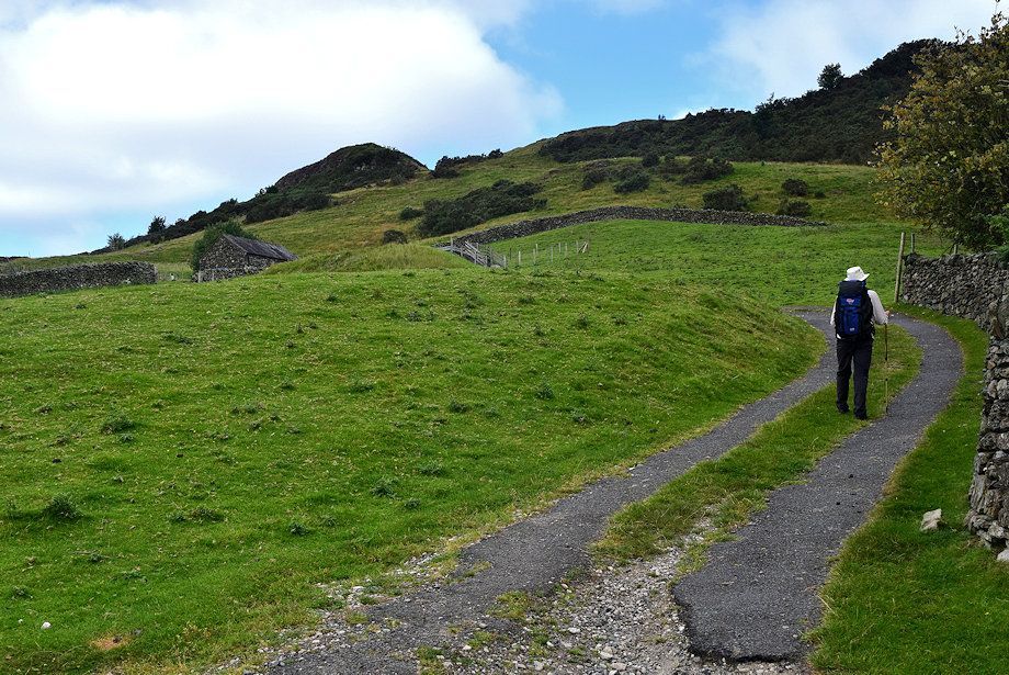
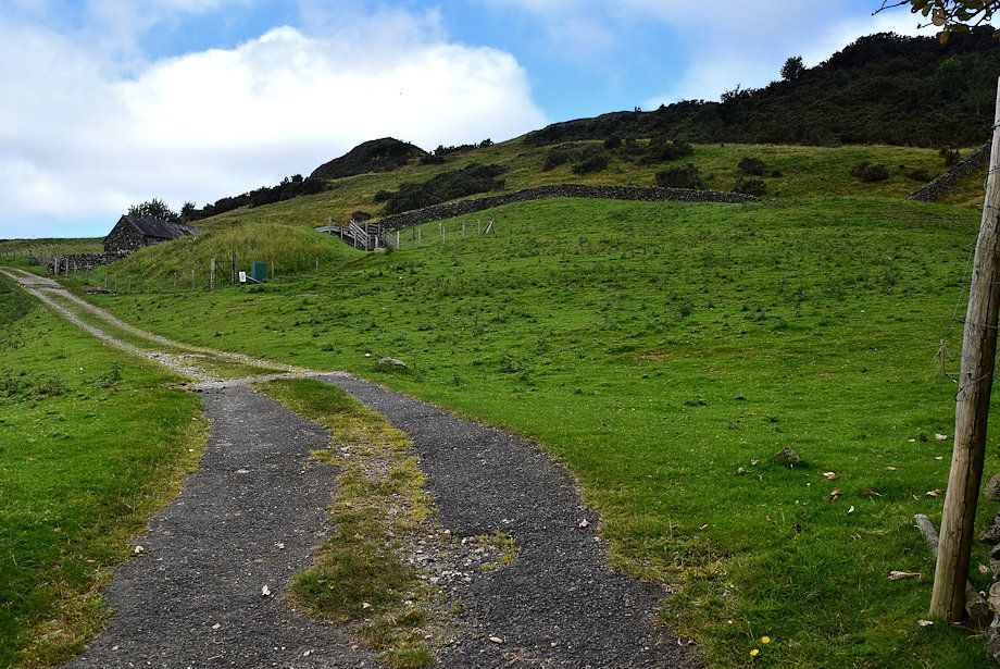
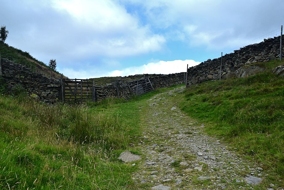
| Above the reservoir the track passes through a gate into a field ..... |
 |
| ..... which it climbs in a series of wide loops |
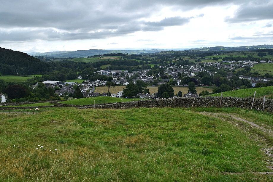 |
| A last look back to Staveley |
 |
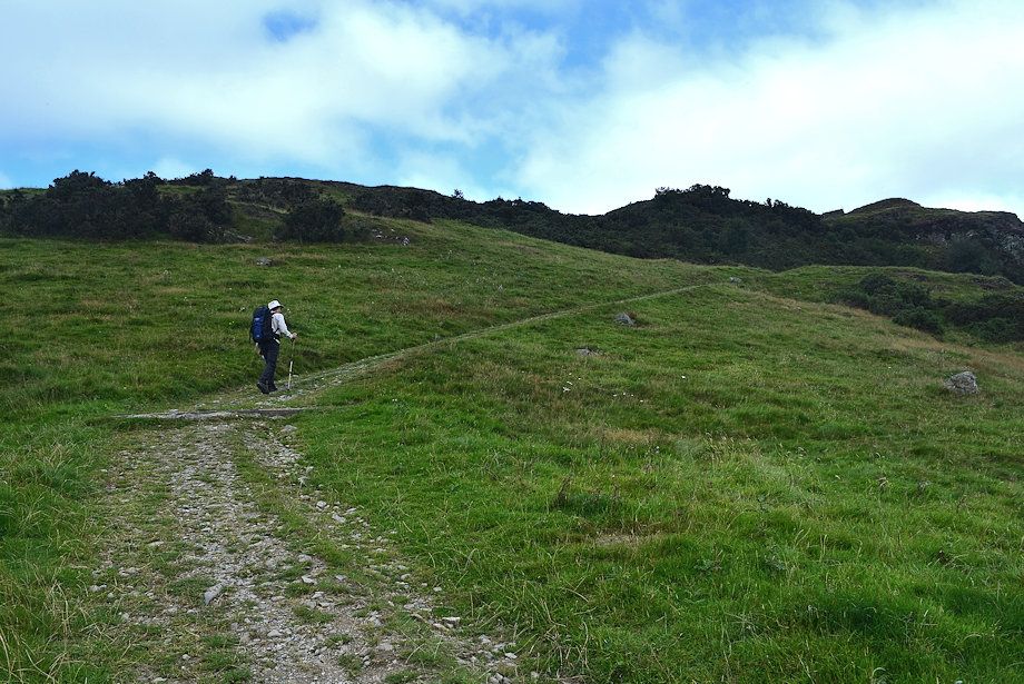
| Near the top of the field |
 |
| The field is exited by the gateway on the right |
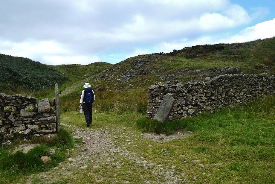 |
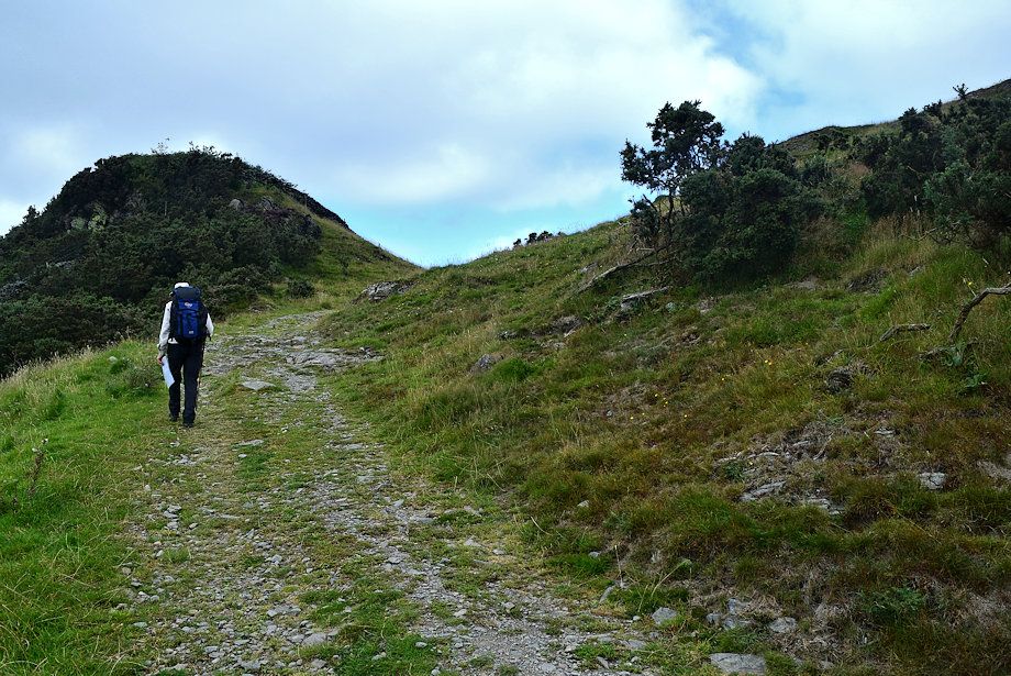
| Another gateway (gate missing) gives access to the summit ridge |
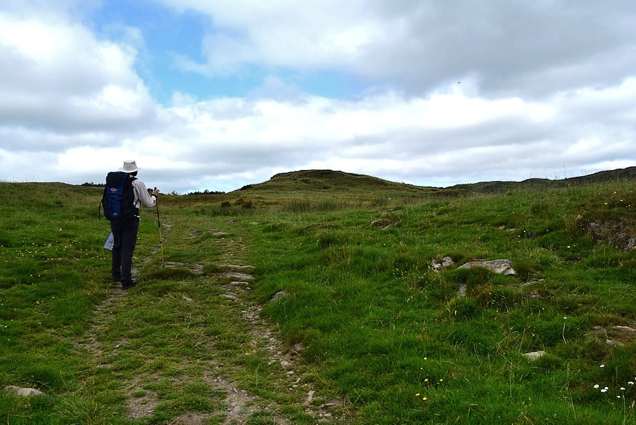 |
| On the summit ridge |
 |
| Looking back to Brant Fell and Potter Fell |
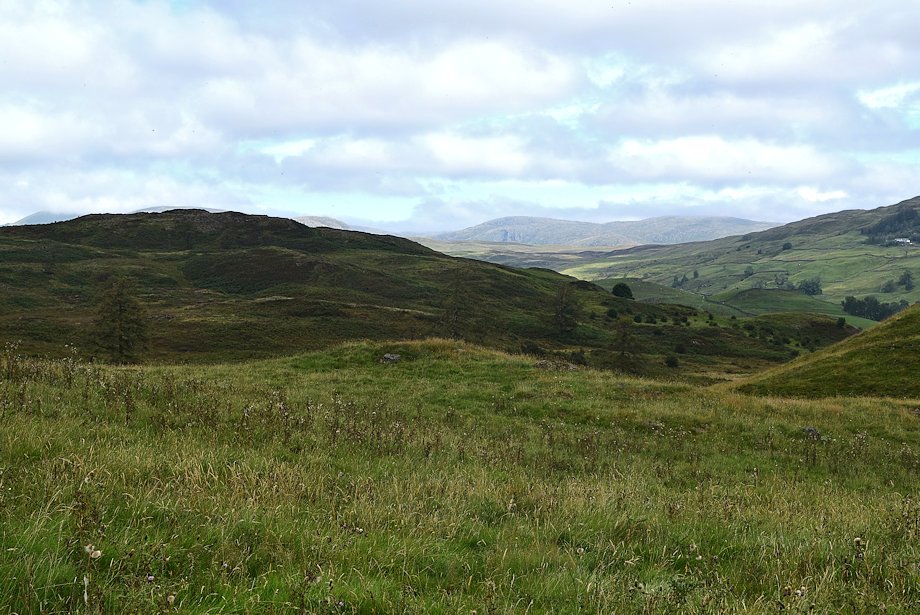 |
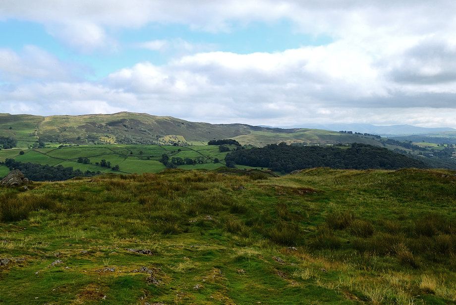
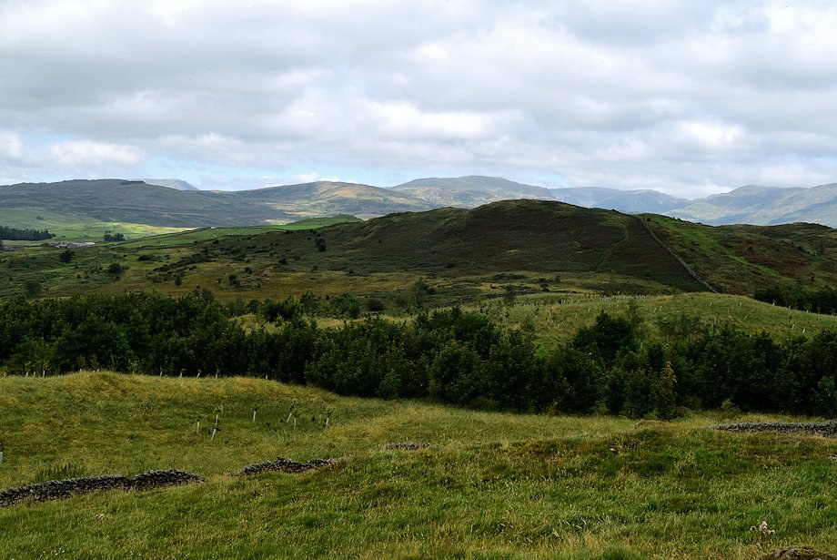
| Looking over towards Hugill Fell |
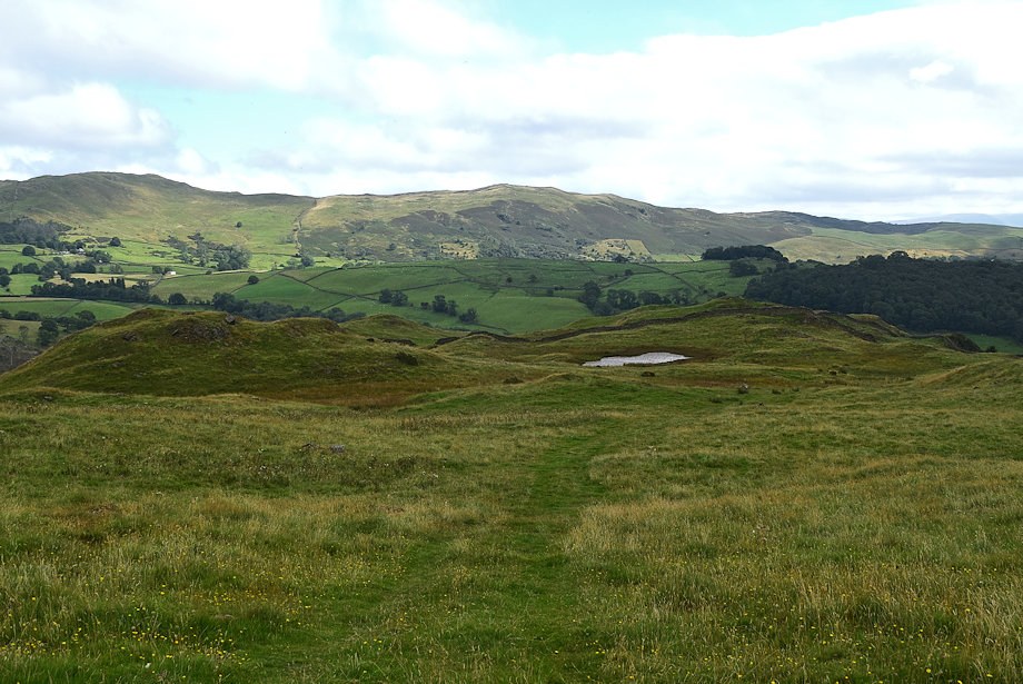 |
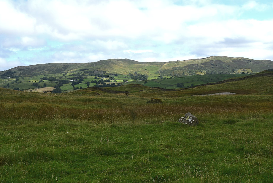
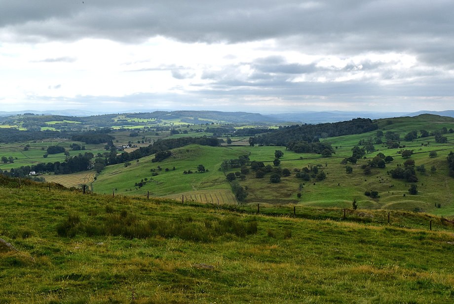
| Looking back to Kemp Tarn |
 |
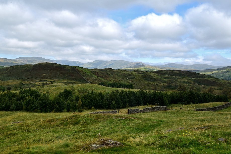
| The Ill Bell ridge over Hugill Fell from just below the summit of Reston Scar |
 |
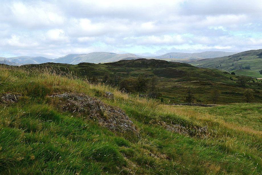
| Approaching the summit of Reston Scar |
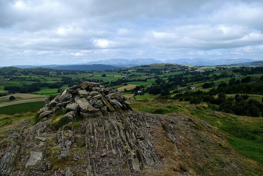 |
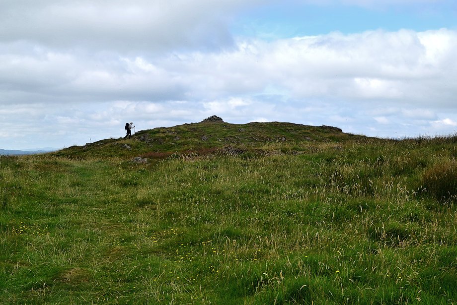
| The summit cairn on Reston Scar |
 |
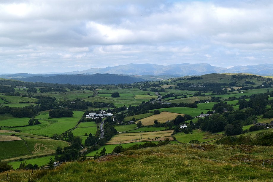
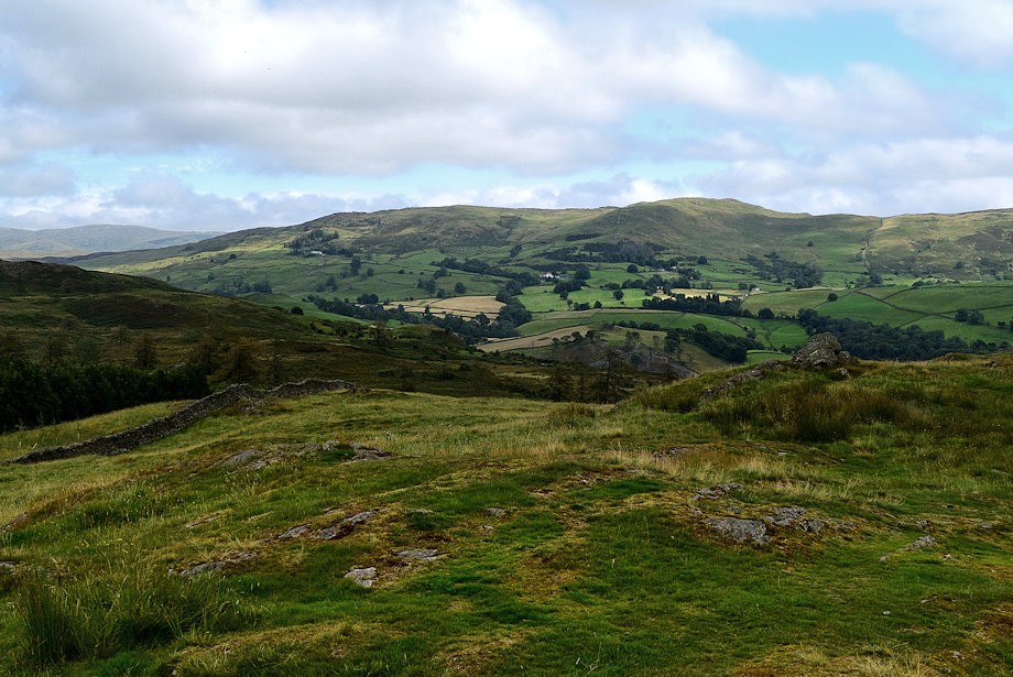
| Potter Fell from the summit of Reston Scar |
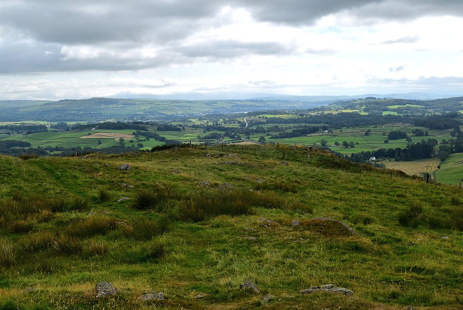 |
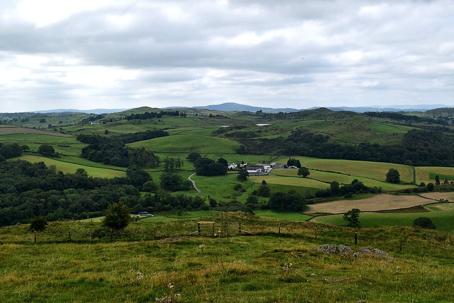
| Looking towards Kendal from the summit of Reston Scar |
 |
| Scout Scar from the summit of Reston Scar |
 |
| Gummer's How from the summit of Reston Scar |
 |
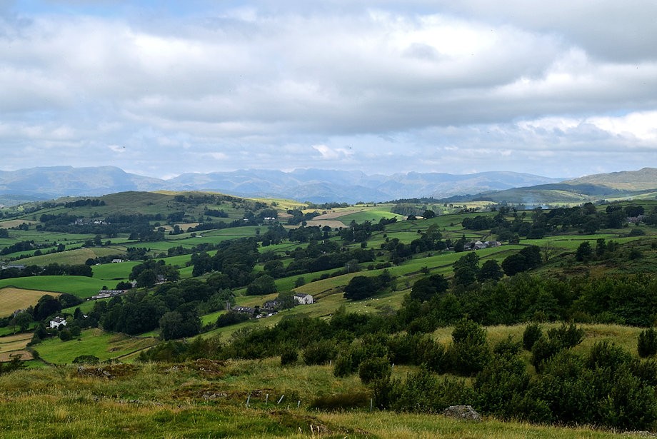
| Grandsire from the summit of Reston Scar |
 |
| The Coniston Fells from the summit of Reston Scar |
 |
| The Langdale Pikes from the summit of Reston Scar |
 |
| Wansfell Pike, Sour Howes, Red Screes and Sallows from the summit of Reston Scar |
 |
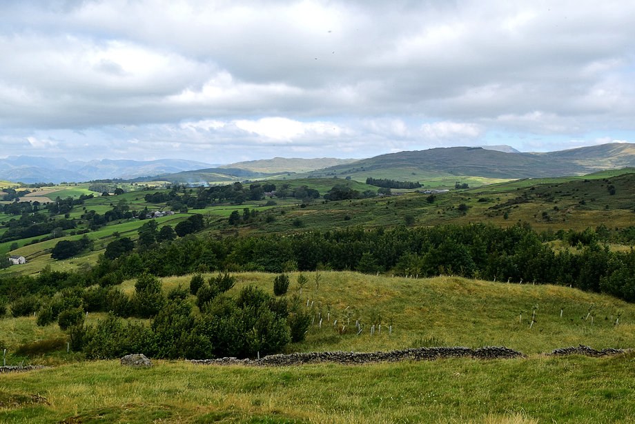
| Hugill Fell in the middle distance from the summit of Reston Scar |
 |
| Yoke, Ill Bell, High Street, Mardale Ill Bell, Harter Fell, Kentmere Pike, Shipman Knotts, Tarn Crag and Grey Crag on the horizon from the summit of Reston Scar |
 |
| Sleddale Forest and Brunt Knott from the summit of Reston Scar |