 |
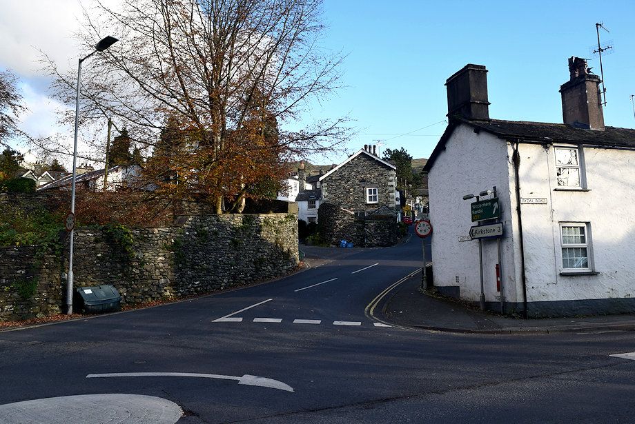
| The walk starts from the Rydal Road car park. Leave the car park by the footbridge over Stock Ghyll and cross the mini roundabout onto Smithy Brow and the road to Kirkstone Pass. The start of the path over Red Screes south ridge is almost a mile along the very steep road |
 |
| However there is a much easier alternative route to reach the start of the path on the Kirkstone Pass road. After passing the Golden Rule pub turn left onto Sweden Bridge Lane |
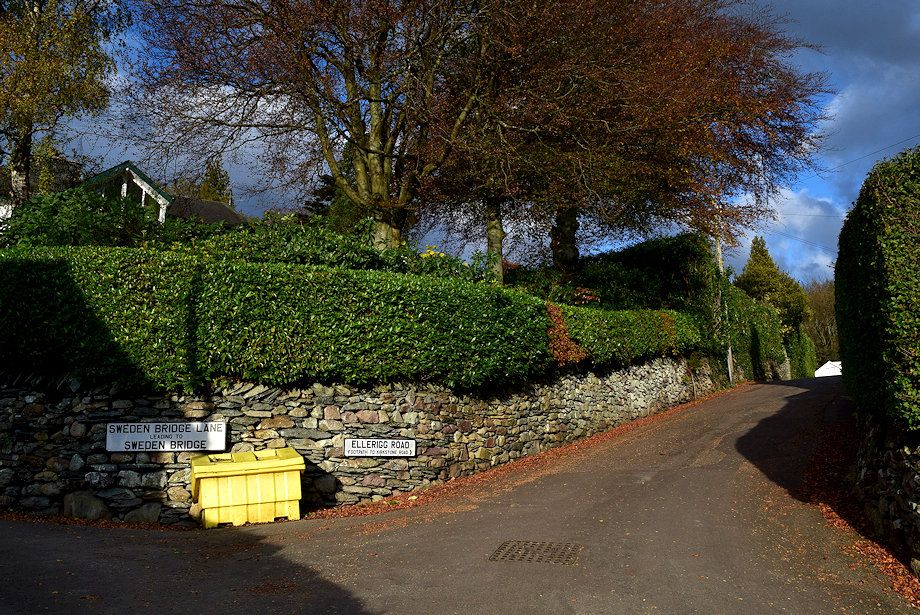 |
| In just over 300 yards bear right onto Ellerigg Road |
 |
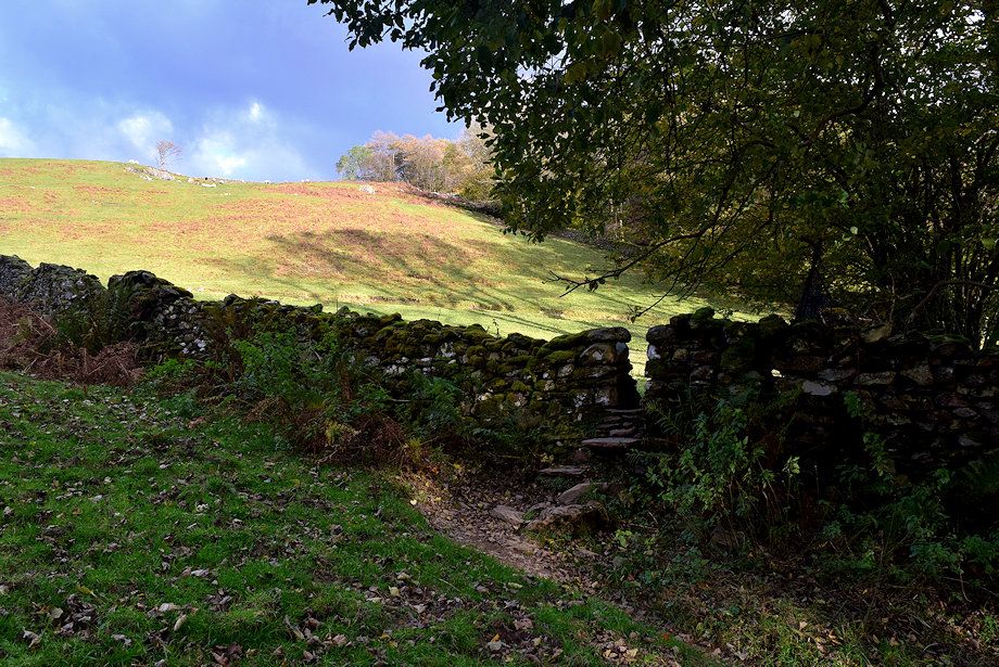
| At the end of Ellerside Road a narrow lane leads to a stone stile |
 |
| The stile gives access to a path which leads back to the Kirkstone Pass road |
 |
| Another stone stile gives access to a small paddock |
 |
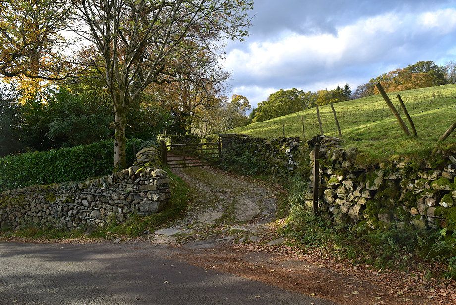
| Fifty yards beyond the stile a gate gives acess to a lane which leads along the edge of Thistly Wood |
 |
| Thistly Wood lane |
 |
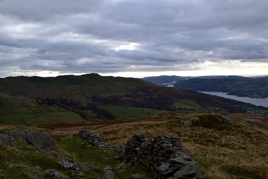
| Looking over to Loughrigg Fell and the Langdale Pikes from the lane |
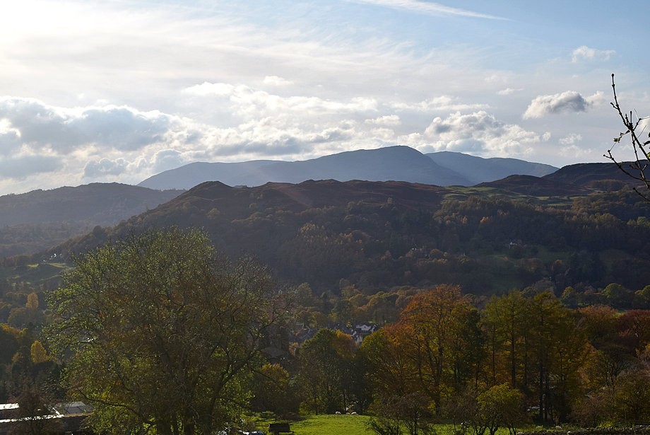 |
| Wetherlam over Loughrigg Fell from the lane |
 |
| In a little over 300 yards the lane meets the Kirkstone Pass road |
 |
| Looking back to the lane which is signposted 'Public Footpath to Ellerigg' |
 |
| The start of the footpath to Red Screes is a further third of a mile along the Kirkstone Pass road where stone steps lead up to gate |
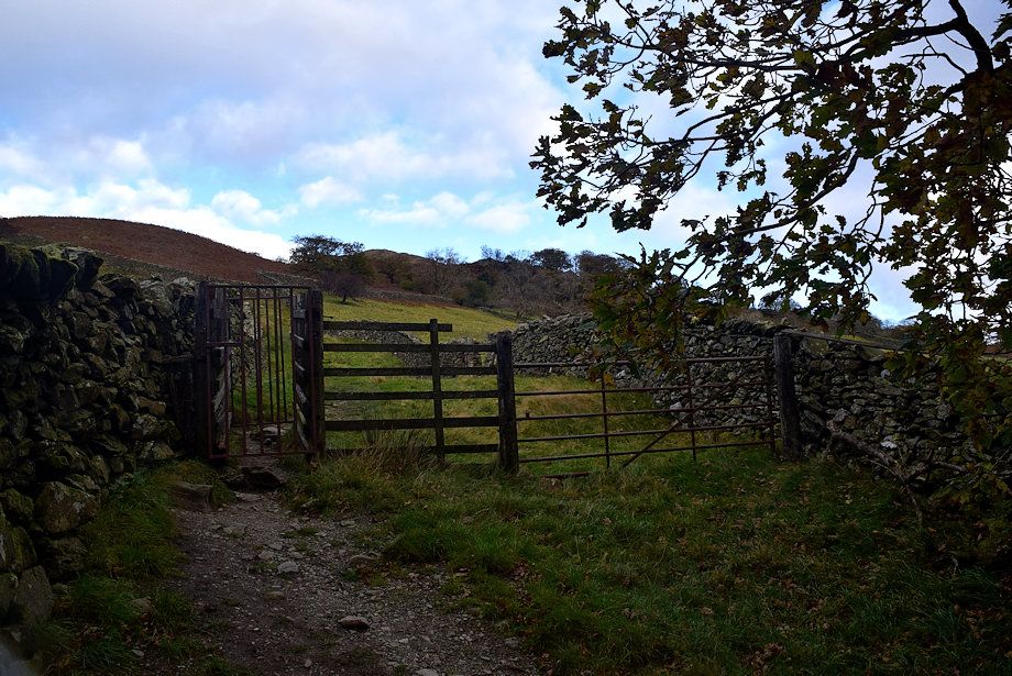 |
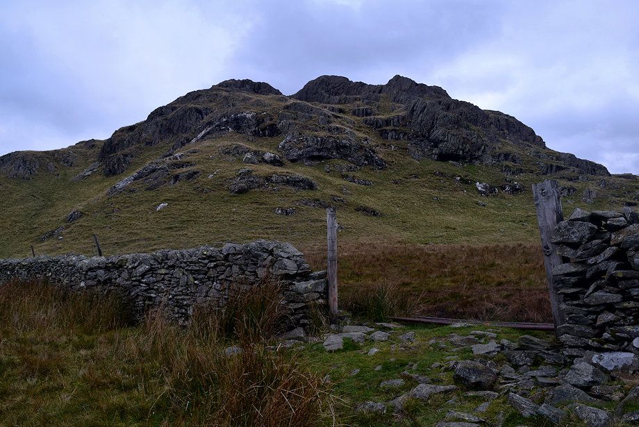
| Through the gate is a small enclosure which is exited by a crush gate |
 |
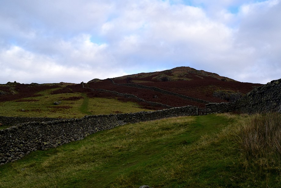
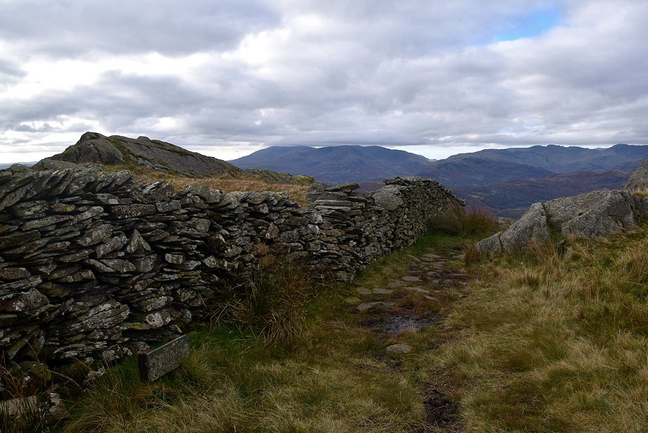
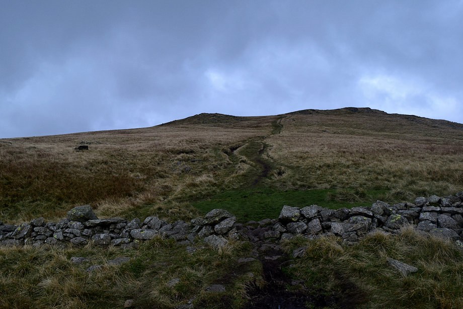
| The gate leads onto a old walled drove-way which runs for a considerable distance up Red Scree's south ridge |
 |
| Looking over to the Coniston Fells from the drove-way |
 |
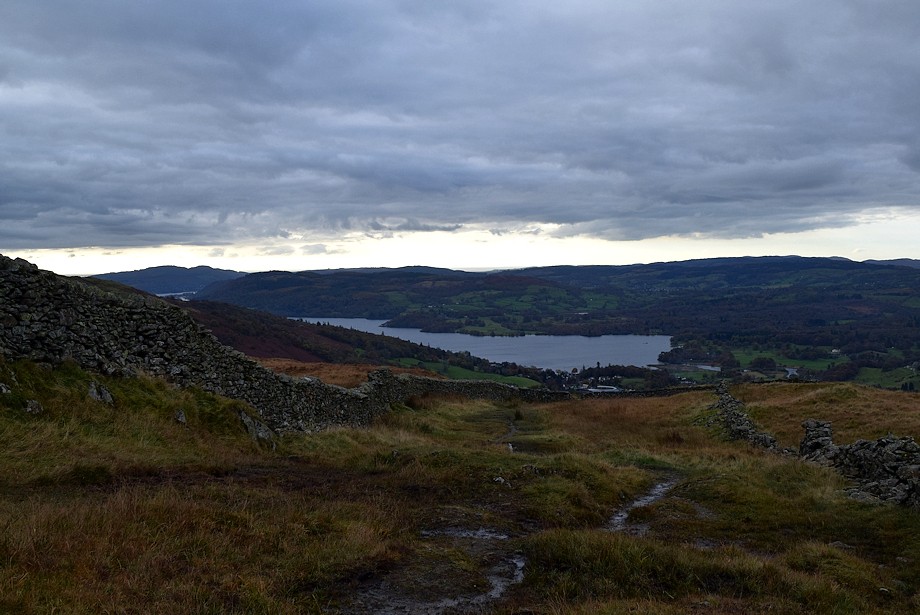
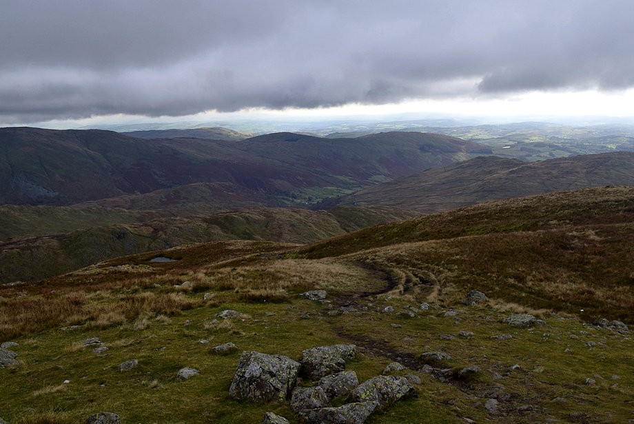
| Ambleside and the head of Windermere from the drove-way |
 |
| Froswick and Ill Bell from the drove-way |
 |
| Looking back to Wansfell Pike from the drove-way |
 |
| Crinkle Crags, Bowfell and the Langdale Pikes with Wetherlam and Great Carrs on the left |
 |
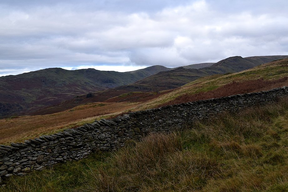
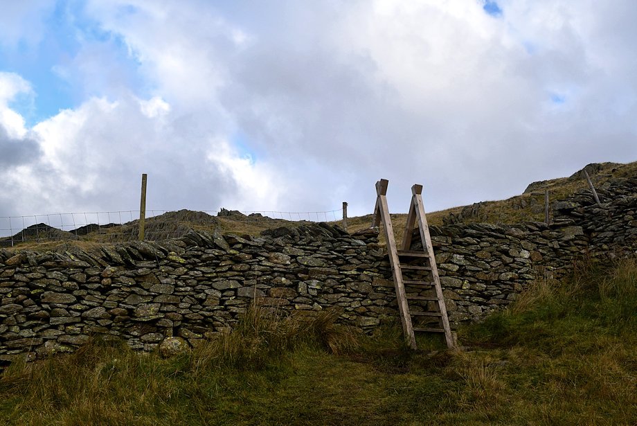
| The winding drove-way leads up from the road to a stile. Beyond the stile bracken encroaches on the drove-way which in summer is best avoided by the green path on the left which is accessed from a gap in the wall, the path rejoins the drove-way on the skyline |
 |
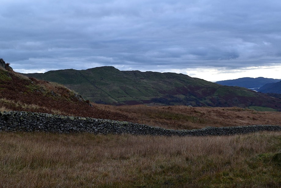
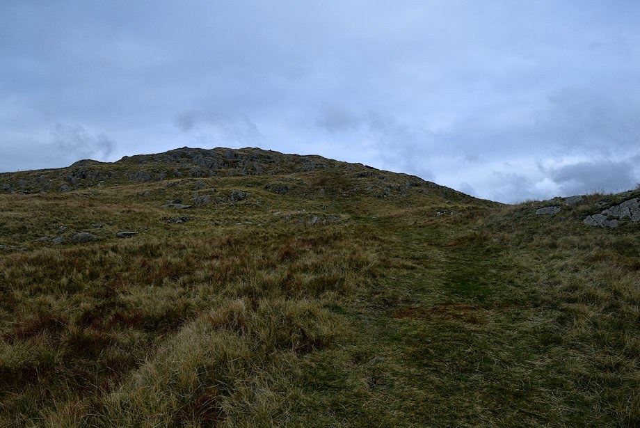
| On rejoining the drove-way Snarker Pike soon comes into view |
 |
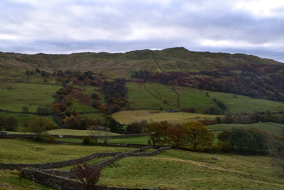
| Looking across to Rydal Water |
 |
| Looking over to the Fairfield Horseshoe peaks of Heron Pike, Great Rigg, Fairfield, Dove Crag, High Pike and Low Pike |
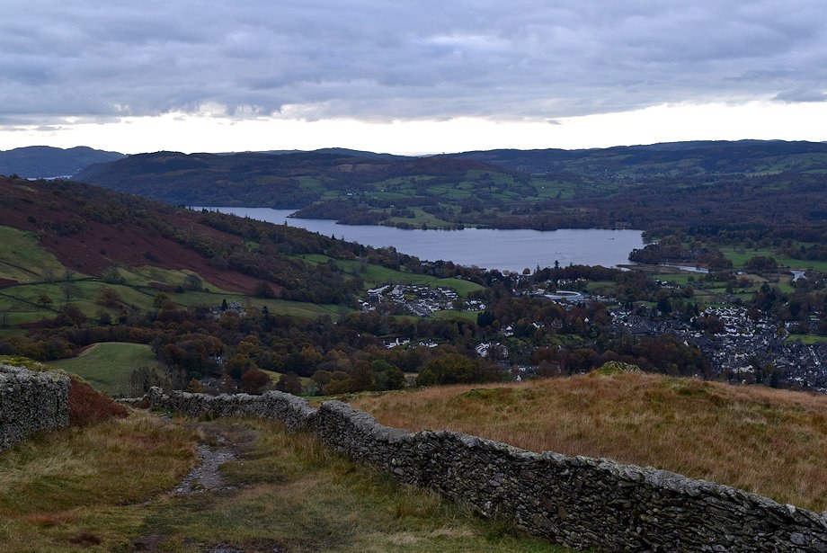 |
| Looking back to Ambleside and Windermere |
 |
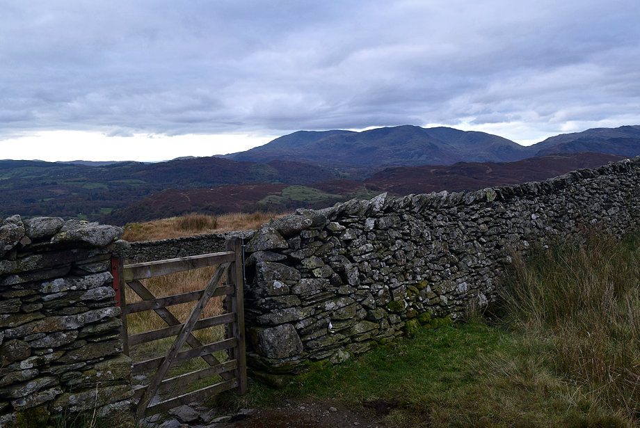
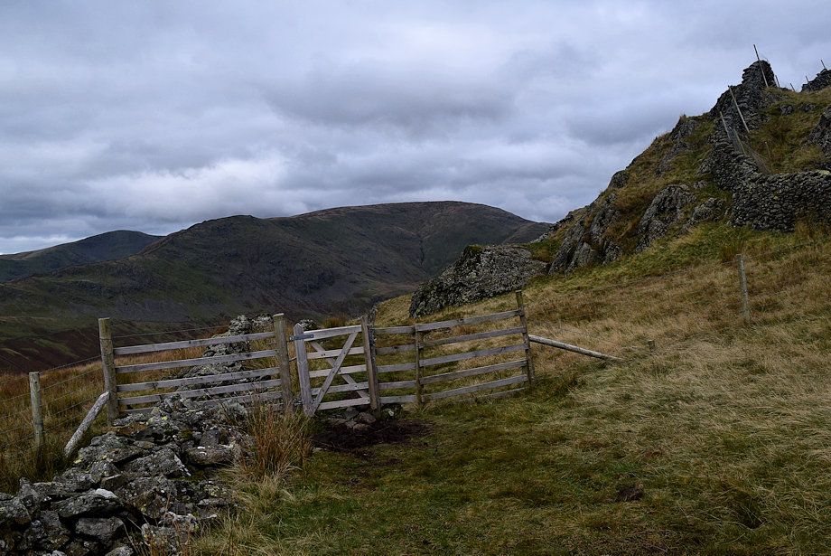
| Walkers approach a hand-gate in the drove-way. Beyond the gate the drove-way's left wall becomes more ruinous for a considerable distance |
 |
| The Coniston Fells from the hand-gate |
 |
| Looking back to Windermere from the hand-gate |
 |
| Looking over to Wansfell Pike |
 |
| Looking left to Nab Scar, Heron Pike and Erne Crag |
 |
| Looking back from higher on the drove-way path |
 |
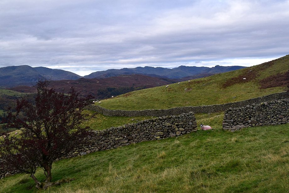
| Rydal Water, Crinkle Crags, Bowfell and the Langdale Pikes |
 |
| The path crosses the first of two ladder stiles before sweeping left between rock outcrops |
 |
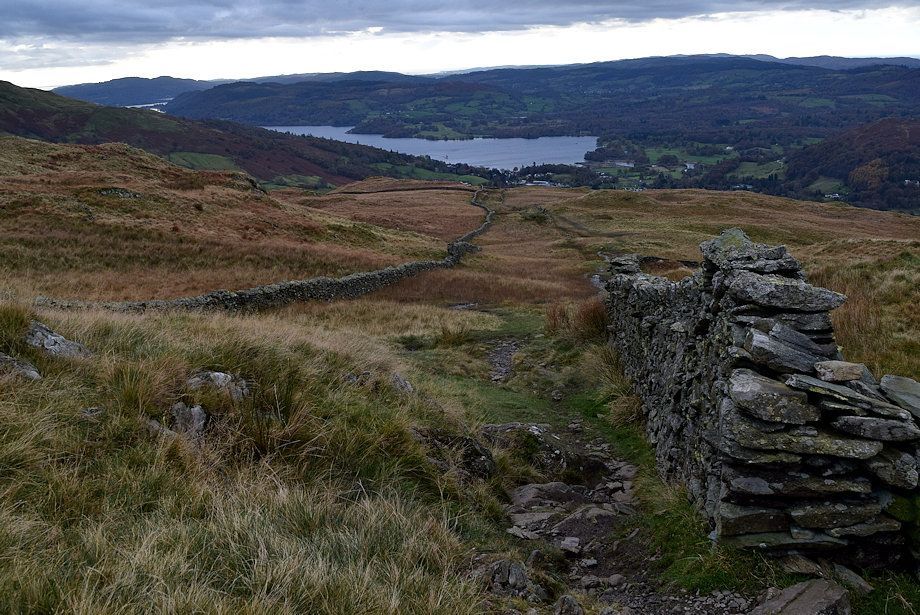
| Looking back to Wansfell Pike and Windermere |
 |
| The top of the unnamed crag ahead is a wonderful viewpoint for Windermere .......... |
 |
| .......... it can be reached by a thin path on the left .......... |
 |
| .......... although it is easier to continue straight ahead to the end of the drove-way by passing through a hand-gate. Great Rigg, High Pike and Dove Crag appear ahead |
 |
| Cross the second ladder stile, the main path continues more or less straight on over the open fellside towards Snarker Pike. To reach the top of the unnamed crag turn right onto a path which follows the wall to a small col behind the crag |
 |
| Heron Pike, Erne Crag and Great Rigg over the Low Pike ~ High Pike ridge from the path to the col |
 |
| Rydal Water with Crinkle Crags, Bowfell and the Langdale Pikes |
 |
| On reaching the col the top of the unnamed crag can be accessed through a gap in the wall |
 |
| Windermere from the top of the unnamed crag |
 |
| Froswick, Ill Bell and Yoke from the top of the unnamed crag |
 |
| Return to the col where a green path winds through rock outcrops towards Snarker Pike |
 |
| Looking back to Windermere |
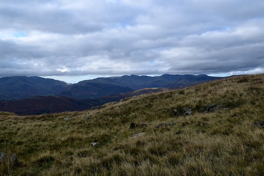 |
| Looking over to Crinkle Crags |
 |
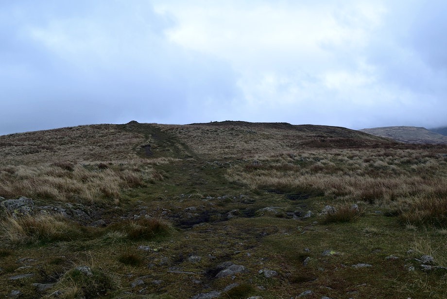
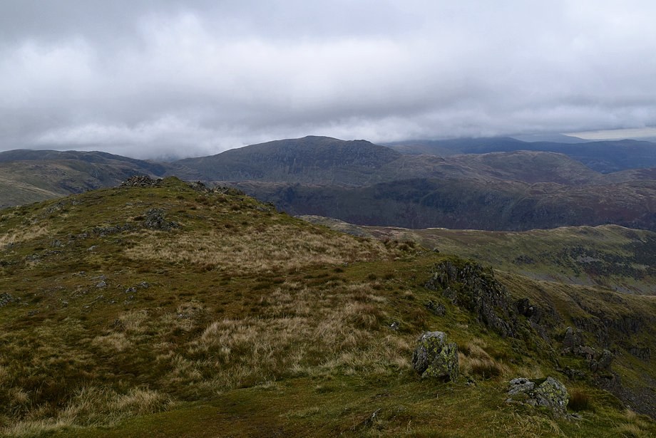
| The summit of Snarker Pike comes into view as the main path is rejoined |
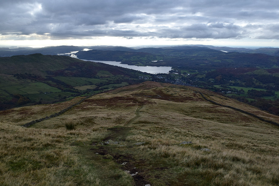 |
| Looking back to Ambleside and Windermere from the climb to Snarker Pike |
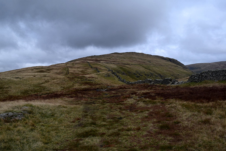 |
| The summit ridge of Red Screes comes into view as the path levels off; the summit of Snarker Pike lies across the wall on the right |
 |
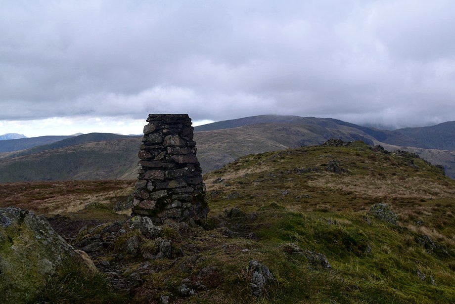
| The summit cairn on Snarker Pike |
 |
| Kirkstone Pass from the summit of Snarker Pike |
 |
| Yoke, Sallows and Sour Howes from the summit of Snarker Pike |
 |
| Wansfell and Wansfell Pike from the summit of Snarker Pike |
 |
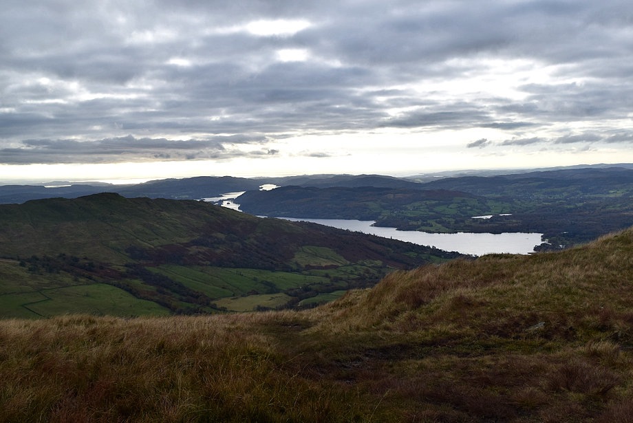
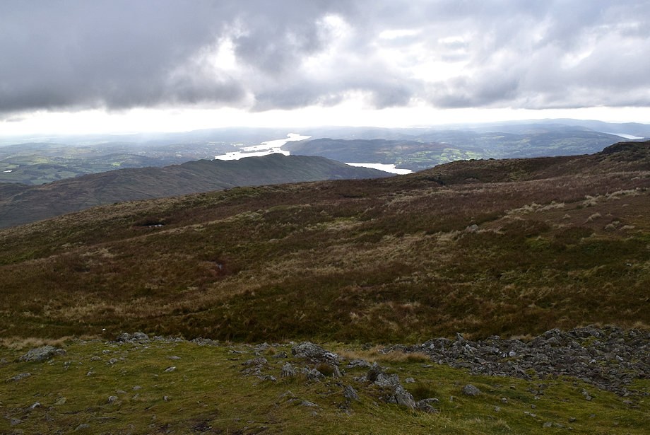
| Windermere from the summit of Snarker Pike |
 |
| The Coniston Fells from the summit of Snarker Pike |
 |
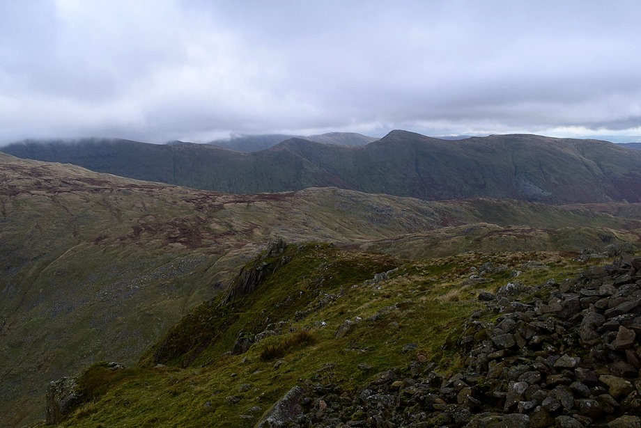
| Red Screes from the summit of Snarker Pike |
 |
| Rejoin the path and continue over Snarker Moss towards a ruined cross-ridge wall |
 |
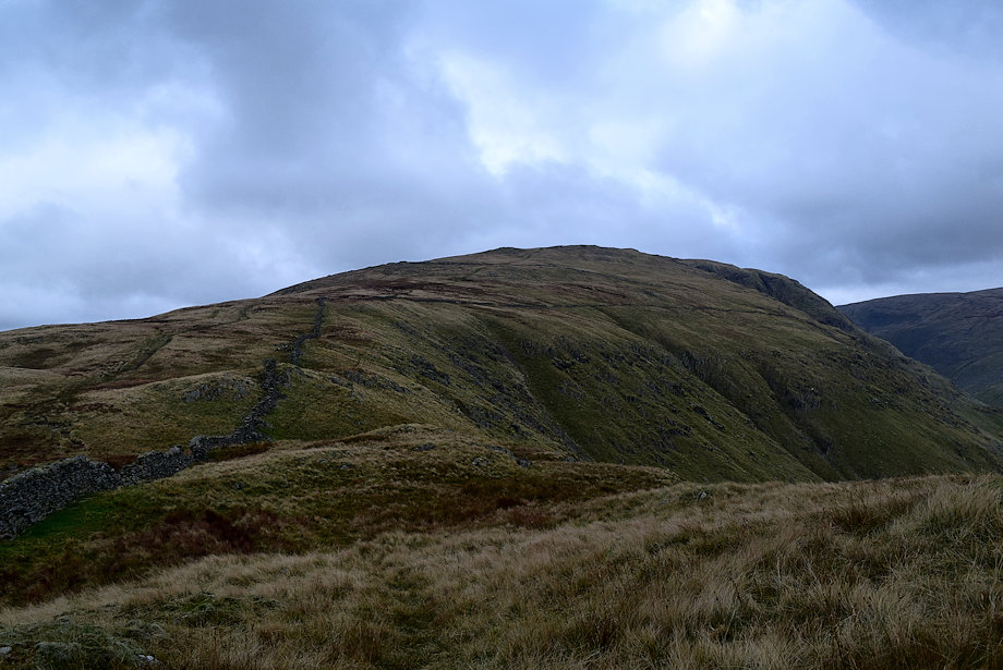
| The summit ridge of Red Screes from the ruined cross-ridge wall |
 |
| Looking back to the summit of Snarker Pike from the cross-ridge wall |
 |
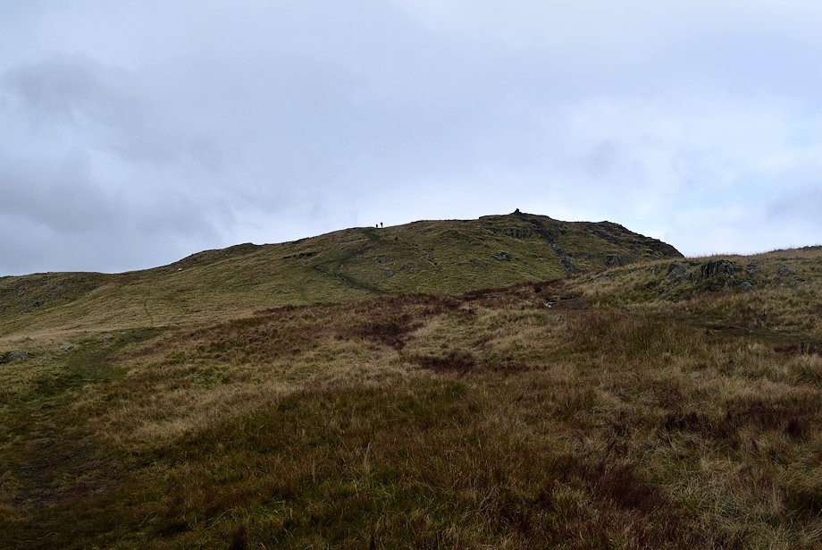
| The summit of Red Screes comes into view as the path approaches a large cairn |
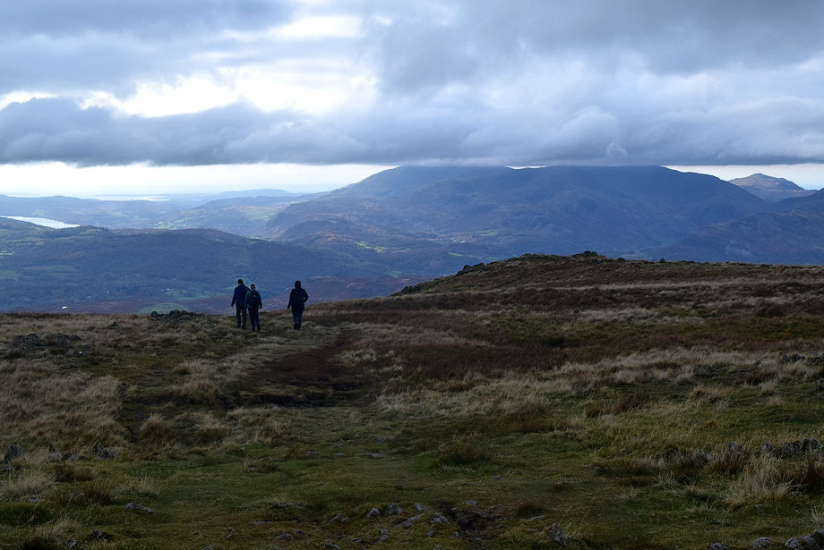 |
| Walkers descending the south ridge |
 |
| Looking down on Kirkstone Pass |
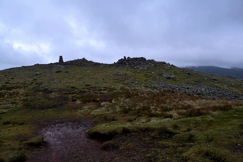 |
| Approaching the summit of Red Screes |
 |
| The Ordnance Survey column on Red Screes |
 |
| Harter Fell across the summit tarn |
 |
| Great Gable, Pillar and High Stile on the distant horizon |
 |
| Looking north-west towards Dove Crag and Fairfield |
 |
| St. Sunday Crag from the summit of Red Screes |
 |
| Patterdale from the summit of Red Screes |
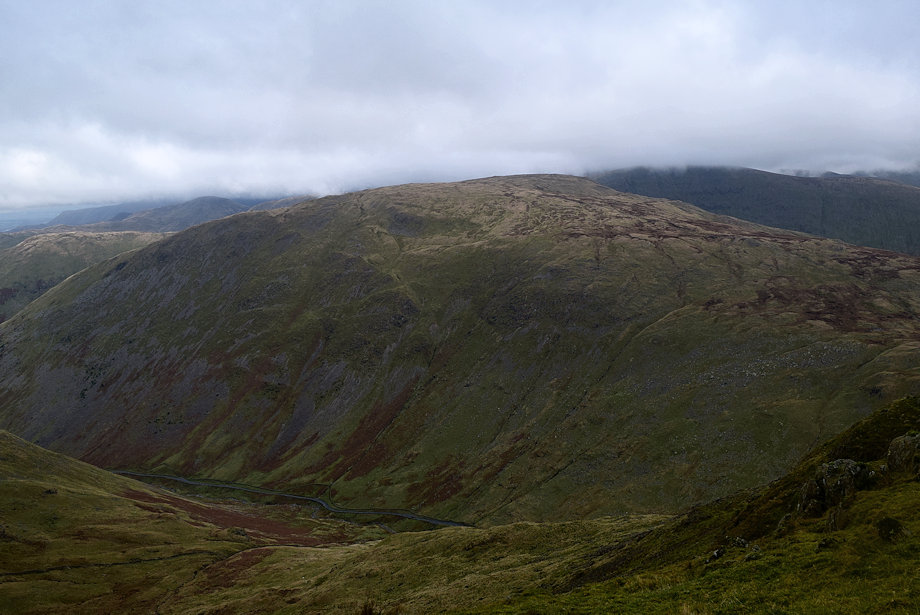 |
| Caudale Moor from the summit of Red Screes |
 |
| Looking east towards Thornthwaite Crag, Froswick, Ill Bell and Yoke |
 |
| The Troutbeck Valley from the summit of Red Screes |
 |
| Windermere from the summit of Red Screes |
