 |
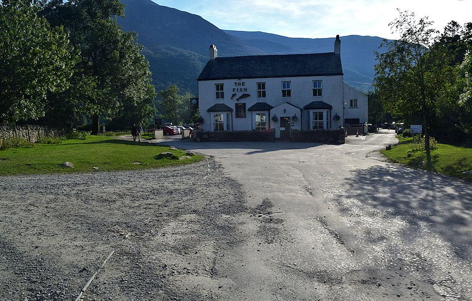
| The Fish Hotel at the start of the walk. Follow the lane to the left of the hotel which leads towards the lake shore |
 |
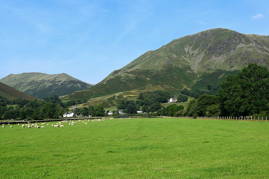
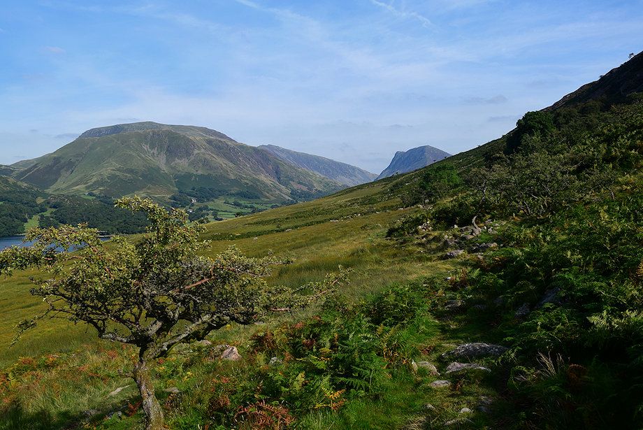
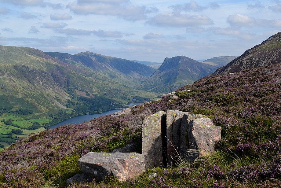
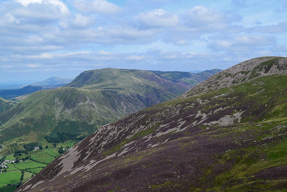
| Looking back towards High Snockrigg from the lane |
 |
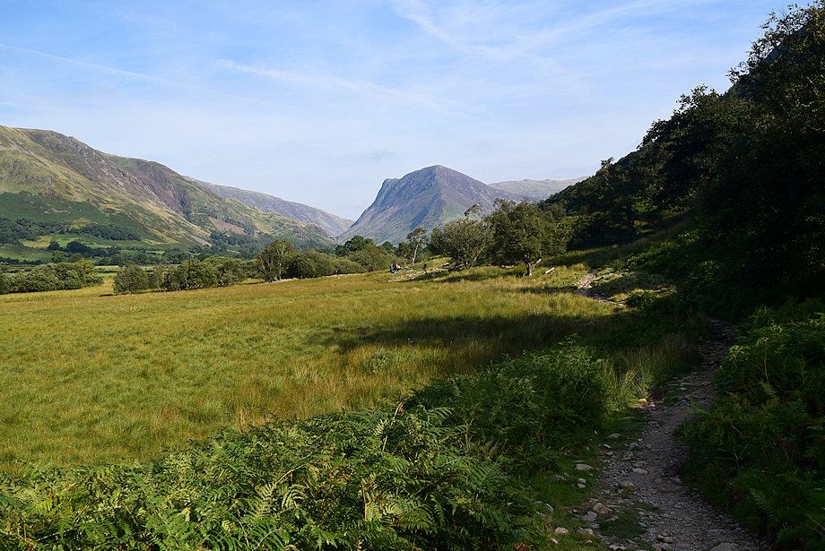
| Looking towards Fleetwith Pike from the lane |
 |
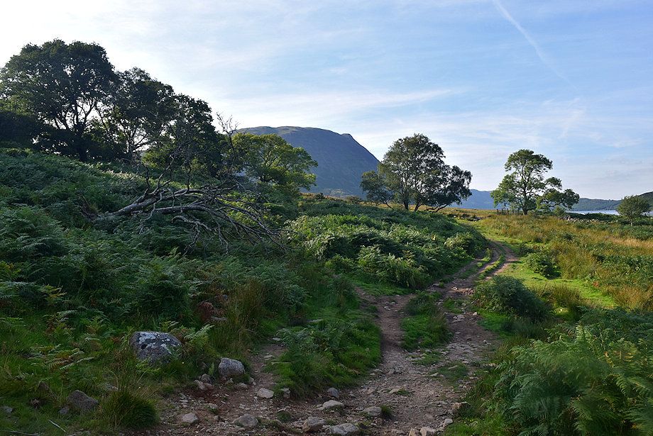
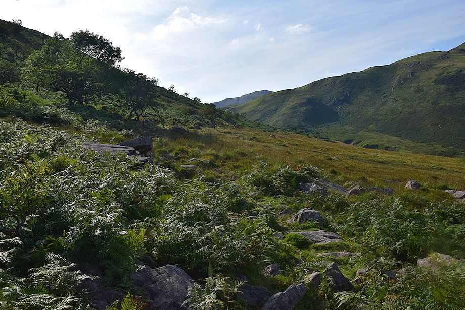
| The lane is only followed for about a quarter of a mile before leaving it for a bridleway track on the right which leads to Scale Bridge |
 |
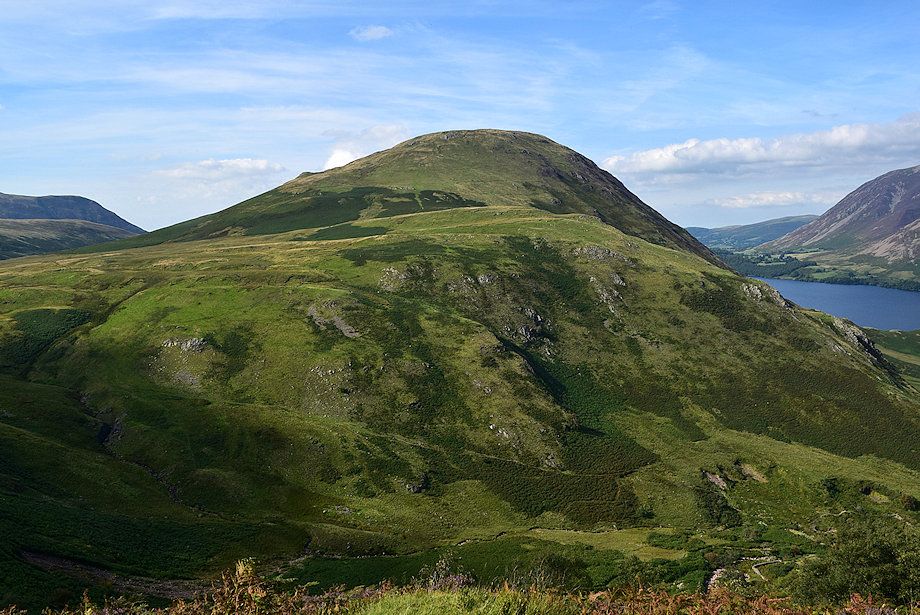
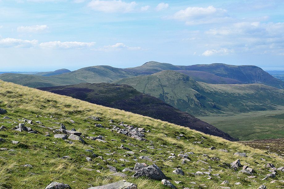
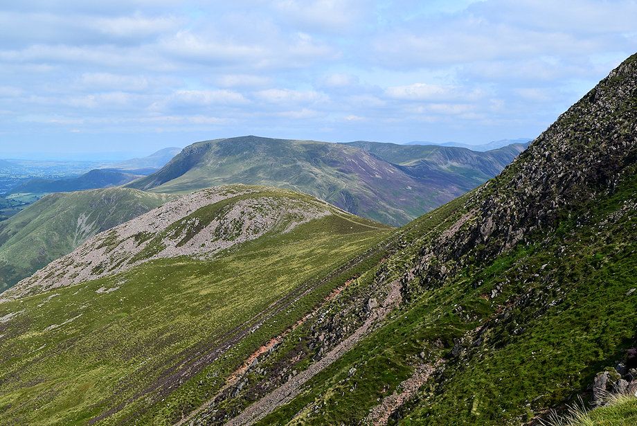
| Knott Rigg and High Snockrigg from the bridleway track |
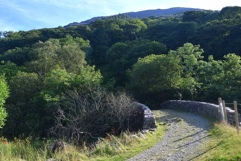 |
| Scale Bridge |
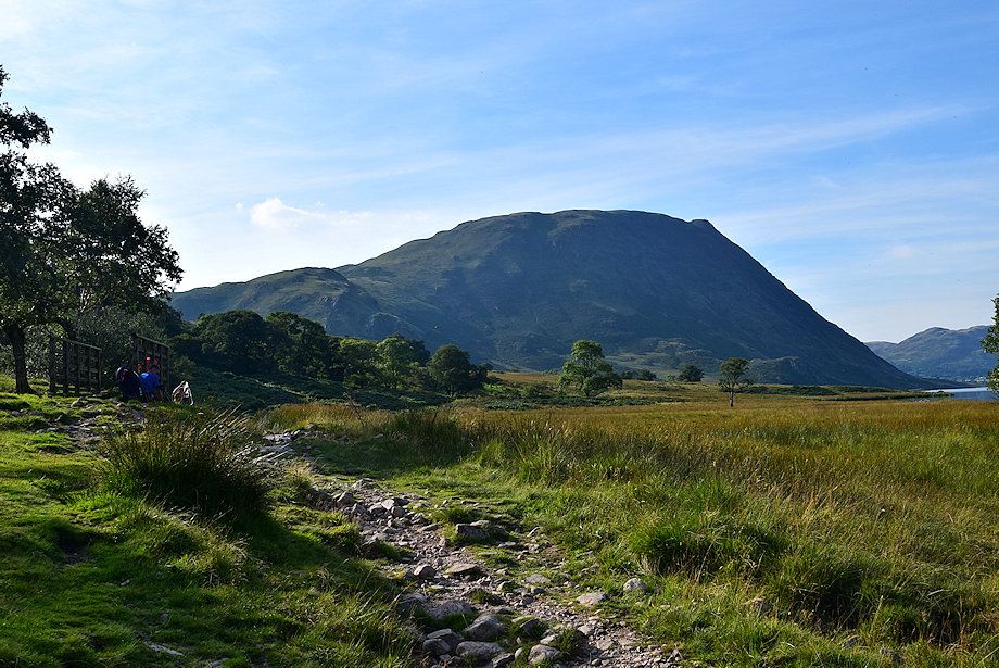 |
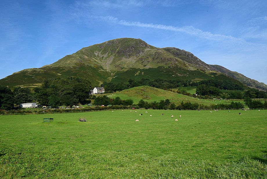
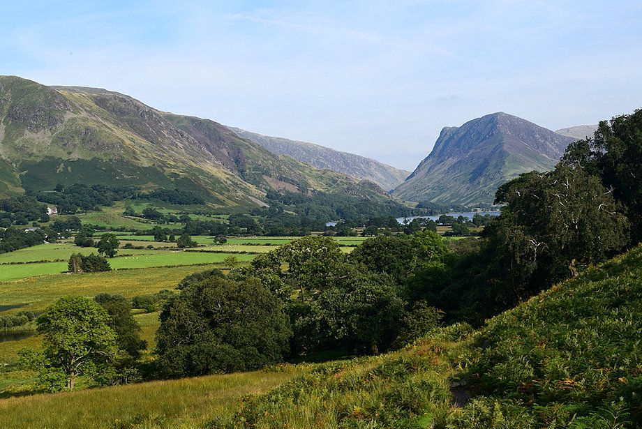
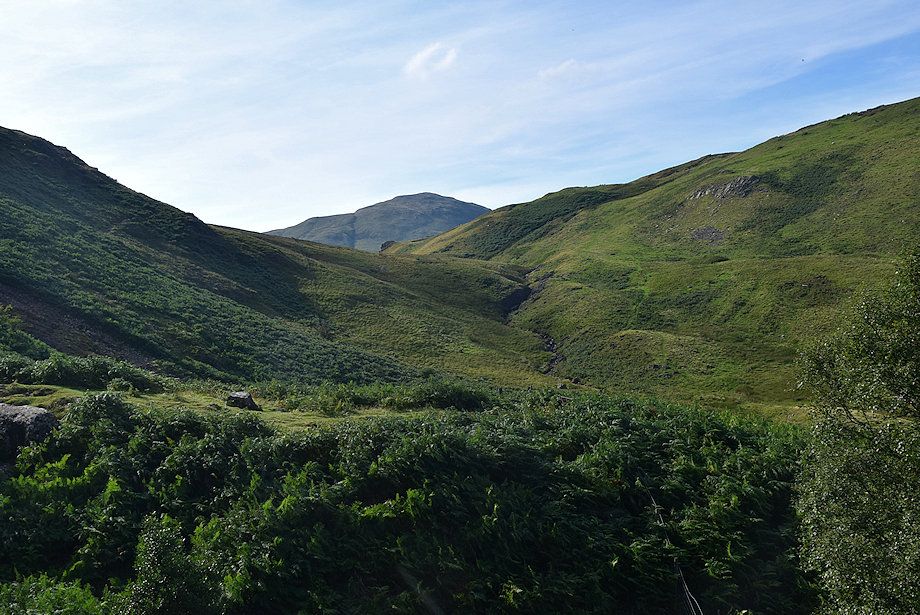
| Mellbreak from the bridleway which is bound for Ennerdale via Floutern Pass |
 |
| Looking over to Grasmoor and Whiteless Pike above Rannerdale Knotts and Low Bank from the bridleway |
 |
| Looking back along the bridleway towards Fleetwith Pike |
 |
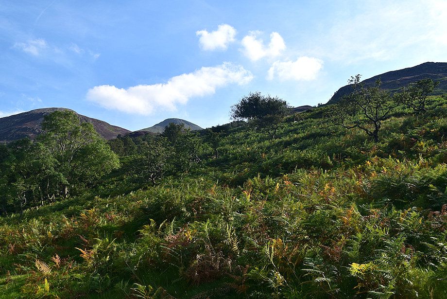
| A little under 700 yards from Scale Bridge leave the bridleway for a path which makes a rising traverse of the fellside towards Scale Force |
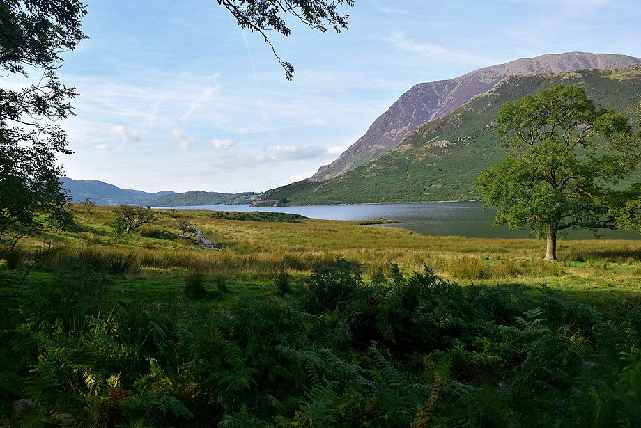 |
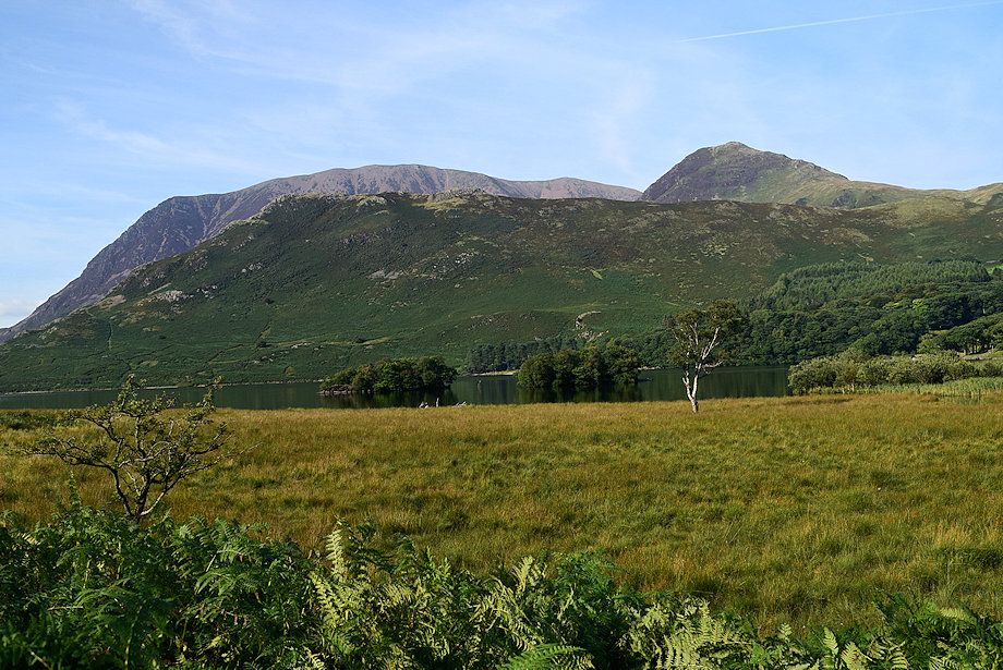
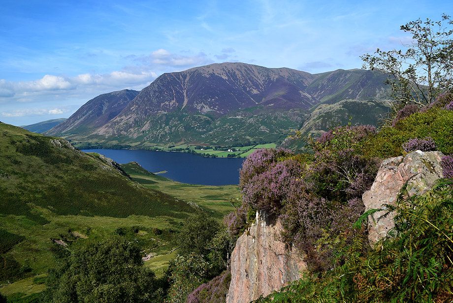
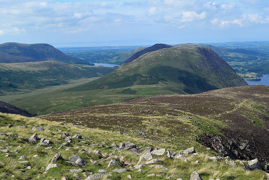
| Grasmoor and Rannerdale Knotts across Crummock Water |
 |
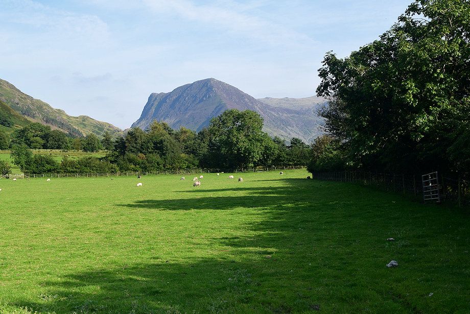
| Looking back towards Buttermere and Fleetwith Pike |
 |
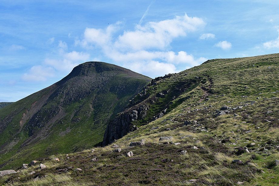
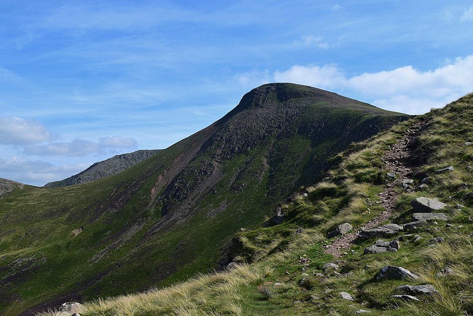
| Looking up to the summit dome of Red Pike with its subsidiary top of Dodd on the left |
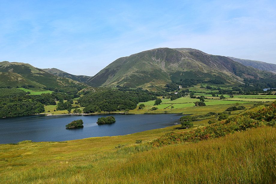 |
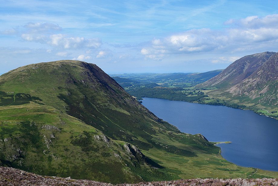
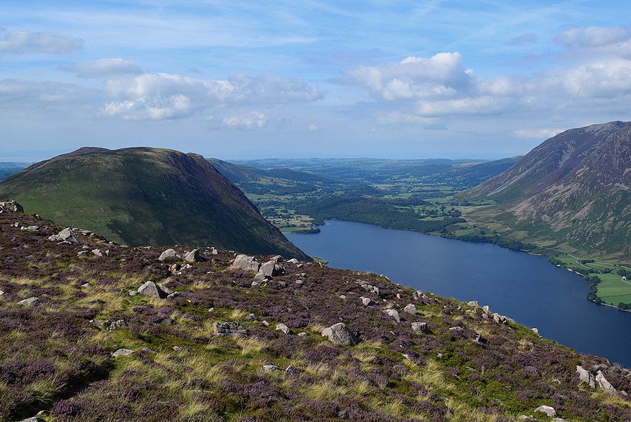
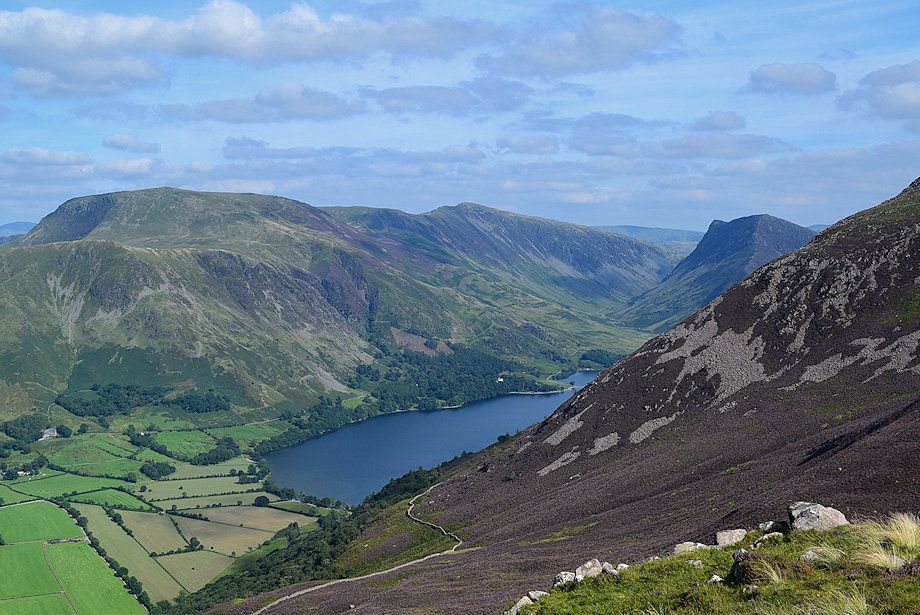
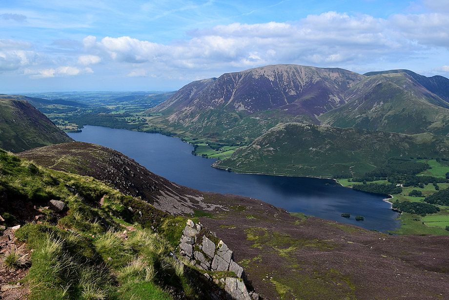
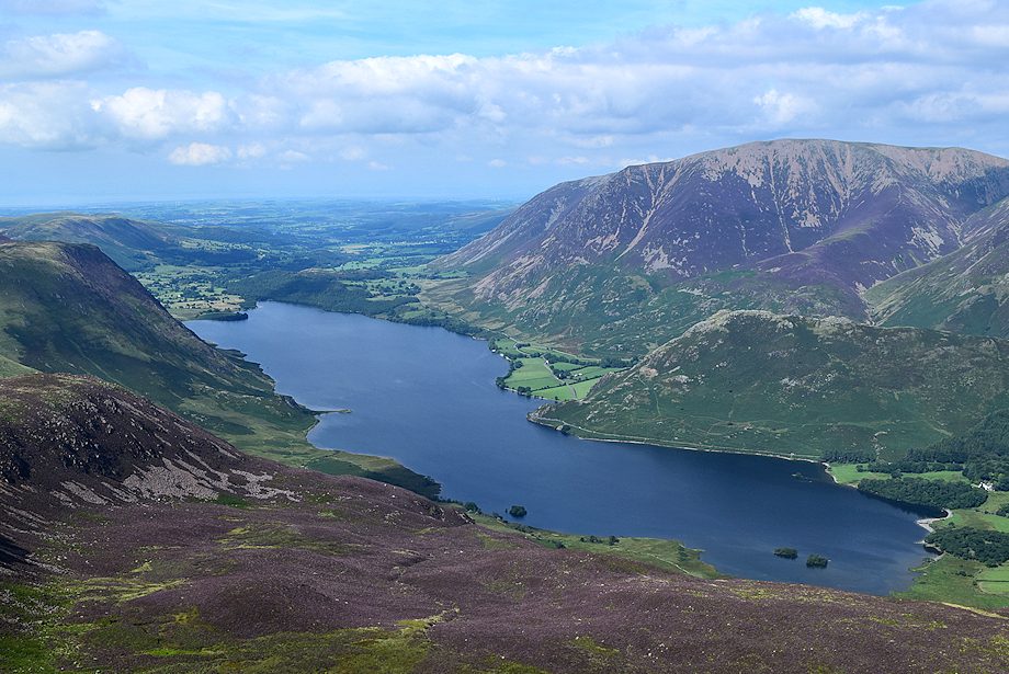
| The head of Crummock Water |
 |
| High Ling Crag with Low Ling Crag jutting out into Crummock Water |
 |
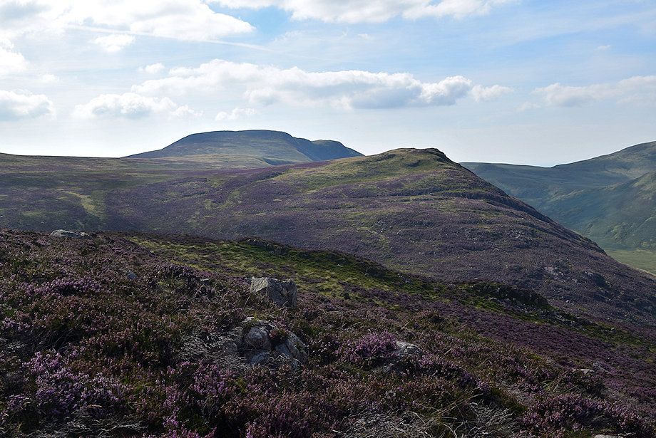
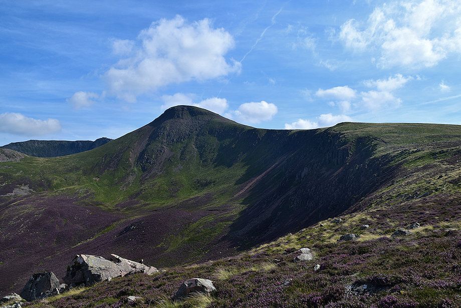
| The summit of Hen Comb appears over Mellbreak's south ridge |
 |
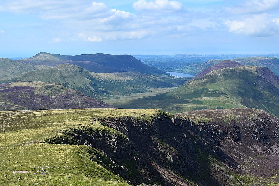
| Looking back to Robinson, Dale Head and Fleetwith Pike |
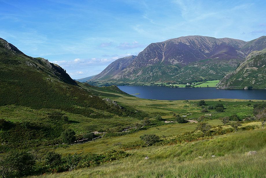 |
| Whiteside and Grasmoor across Crummock Water |
 |
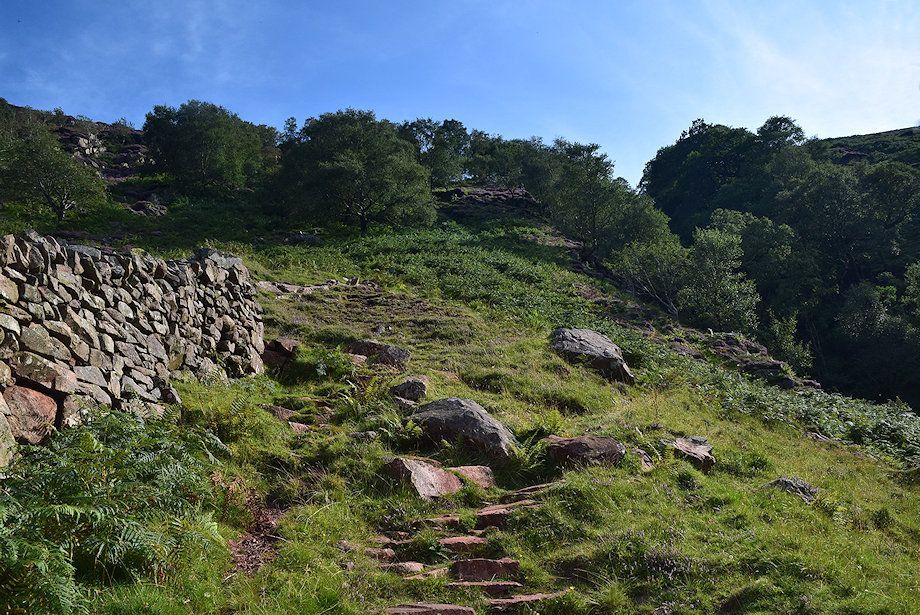
| The path rises up to a handgate in the intake wall above the Scale Beck ravine |
 |
| Grasmoor, Wandope and Whiteless Pike from the handgate |
 |
| Hen Comb from the handgate |
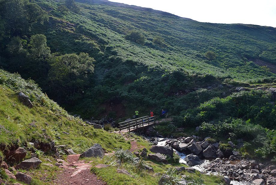 |
| A path leads down to the footbridge over Scale Gill and the viewing point for Scale Force |
 |
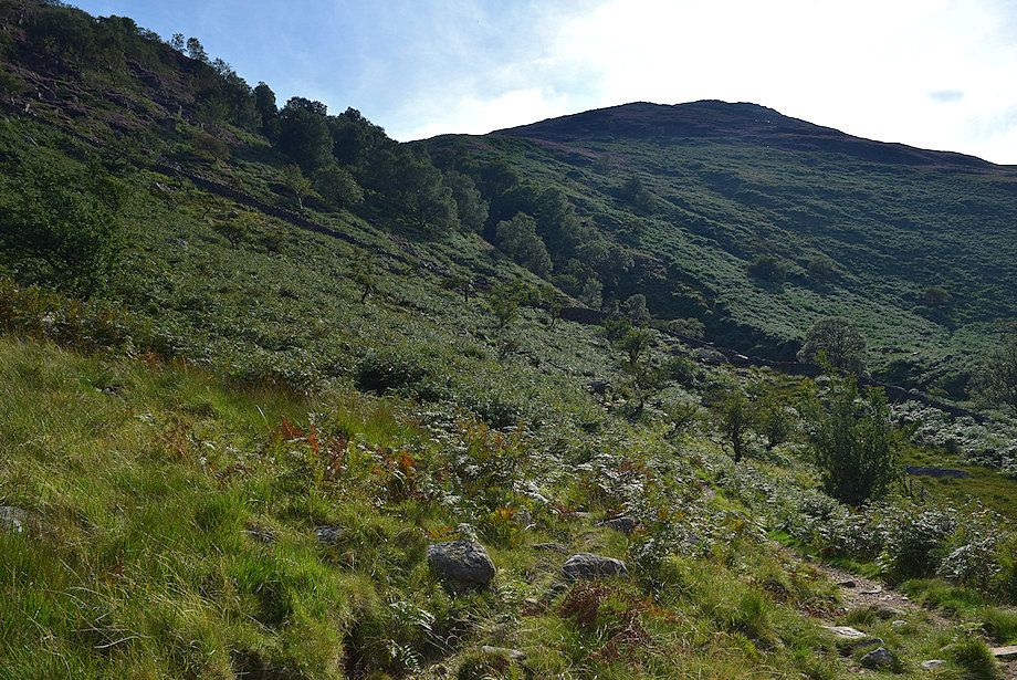
| The route to Lingcomb Edge and Red Pike follows the path through the birch trees on the east side of the ravine |
 |
| Looking back to Whiteless Pike above Rannerdale Knotts from the path above the ravine |
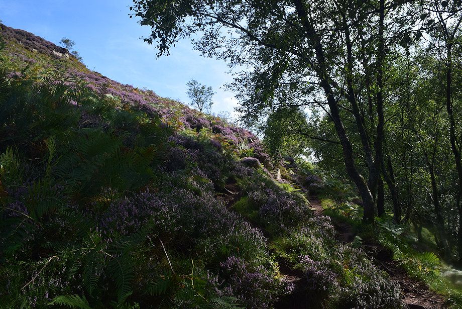 |
| Scale Force can be heard but not seen though the screen of trees. The path above the ravine is only followed for about 200 yards before veering left onto another path which begins to climb the steep heather slopes of Blea Crag. There are a two other paths further along the ravine which can be used to access Lingcomb Edge but this one gives better views |
 |
| Initially the path weaves its way around the rock outcrops on the lower slope |
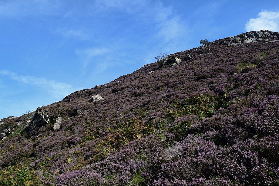 |
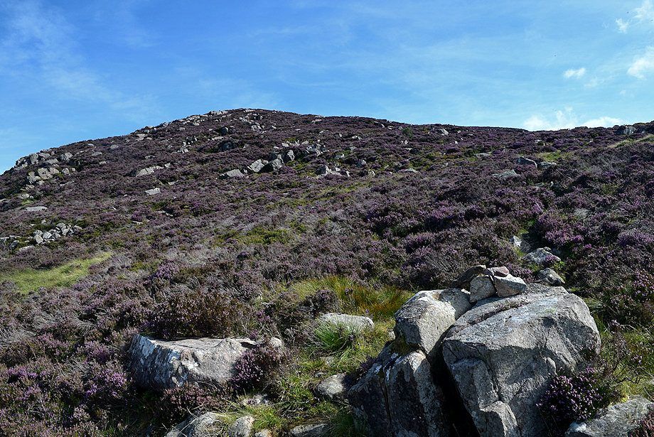
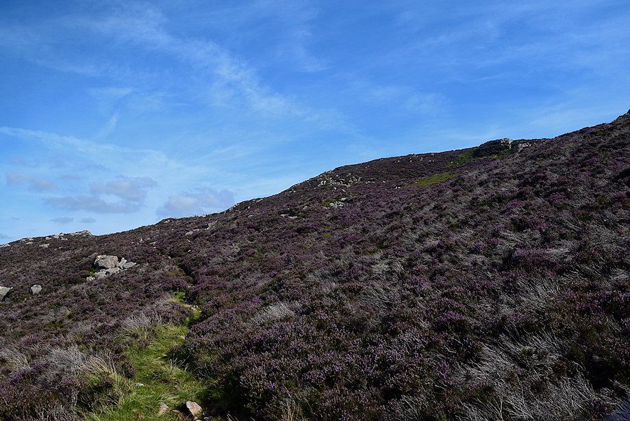
| There are a few minor rock steps to negotiate on Blea Crag's steep slope, the path is very clear through the heather |
 |
| Looking back towards Hen Comb and Carling Knott |
 |
| Looking back towards Mellbreak over Scale Knott |
 |
| Whiteside and Grasmoor over Crummock Water |
 |
| There are occasional cairns set on the boulders which help to determine the line of the path |
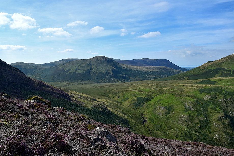 |
| Looking back over Mosedale to Gavel Fell, Hen Comb and Carling Knott |
 |
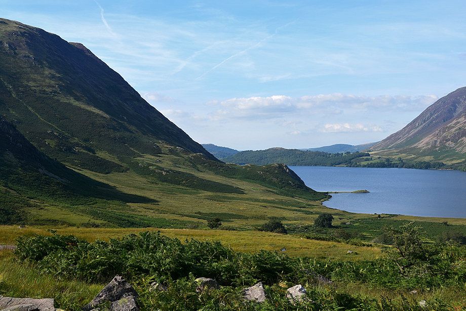
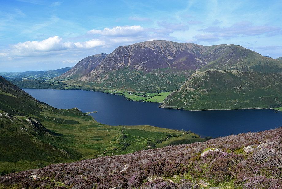
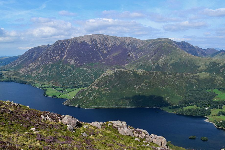
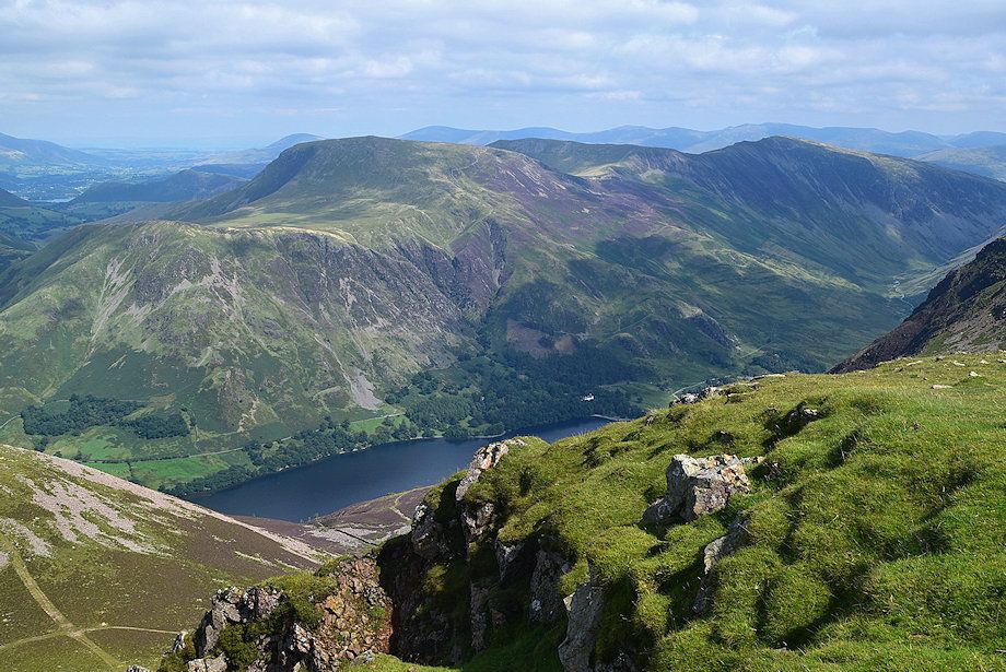
| The foot of Crummock Water flanked by Mellbreak and Whiteside |
 |
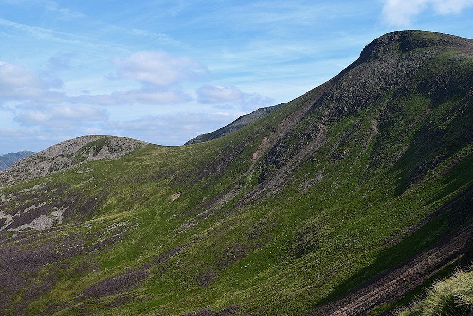
| Approaching the ridgeline of Blea Crag |
 |
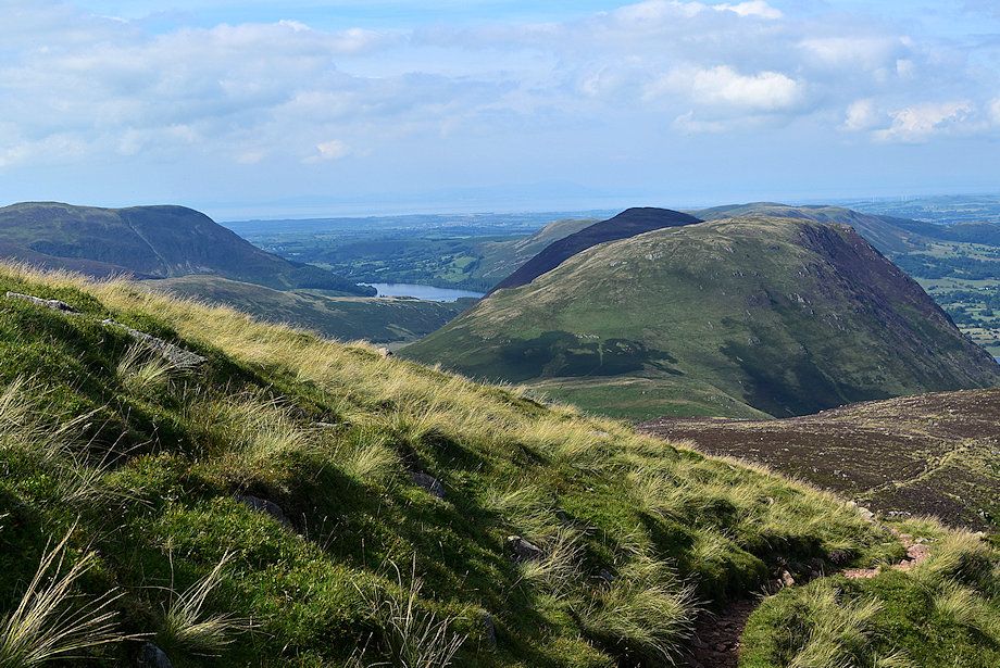
| The North Western fells of Whiteless Pike, Wandope, Sail, Causey Pike, Ard Crags and Knott Rigg appear across Blea Crag's ridgeline |
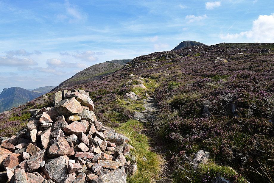 |
| The ridgeline is reached at a prominent marker cairn from where the summit of Red Pike comes into view |
 |
| Fleetwith Pike from the marker cairn |
 |
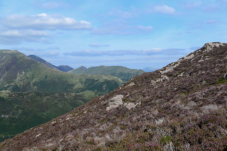
| Looking back to Great Borne and Gale Fell from the marker cairn |
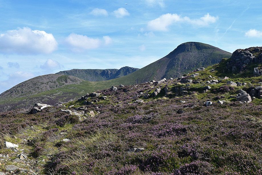 |
| The summit of High Stile comes into view as the path continues on towards the rim of Ling Comb |
 |
| Looking back along the path rising from the marker cairn |
 |
| Red Pike and Lingcomb Edge |
 |
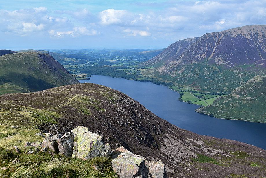
| The foot of Crummock Water from Lingcomb Edge |
 |
| Grasmoor from Lingcomb Edge |
 |
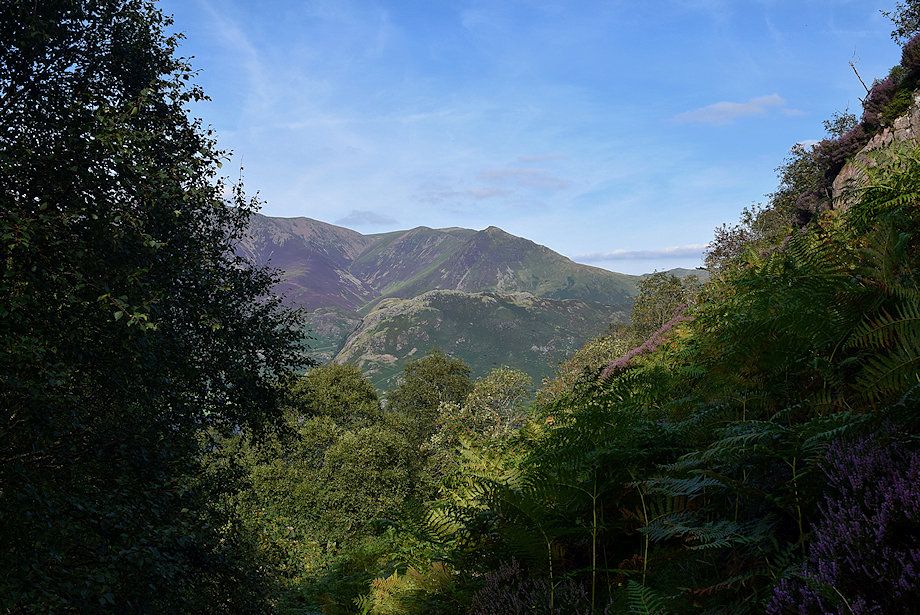
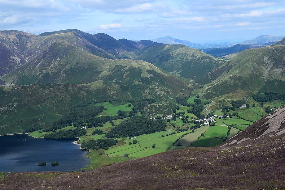
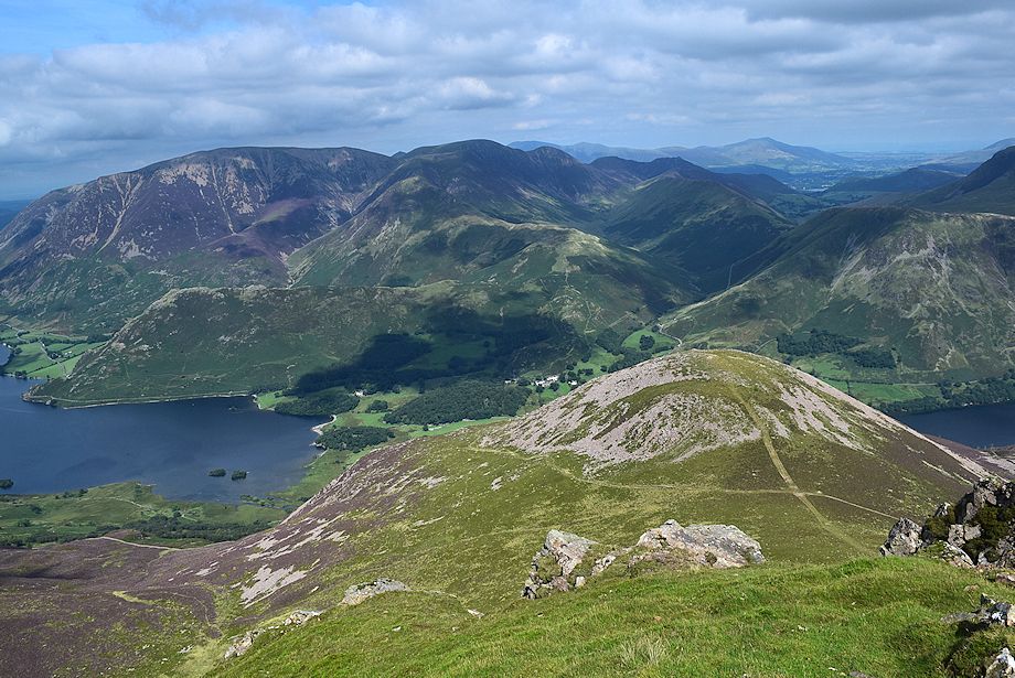
| Looking down from Lingcomb Edge to the start of the walk in Buttermere |
 |
| Robinson, Hindscarth, Dale Head and Fleetwith Pike from Lingcomb Edge |
 |
| Starting the climb along Lingcomb Edge |
 |
| One of alternative paths coming up from the Scale Beck ravine reaches the rim of Lingcomb Edge at this point |
 |
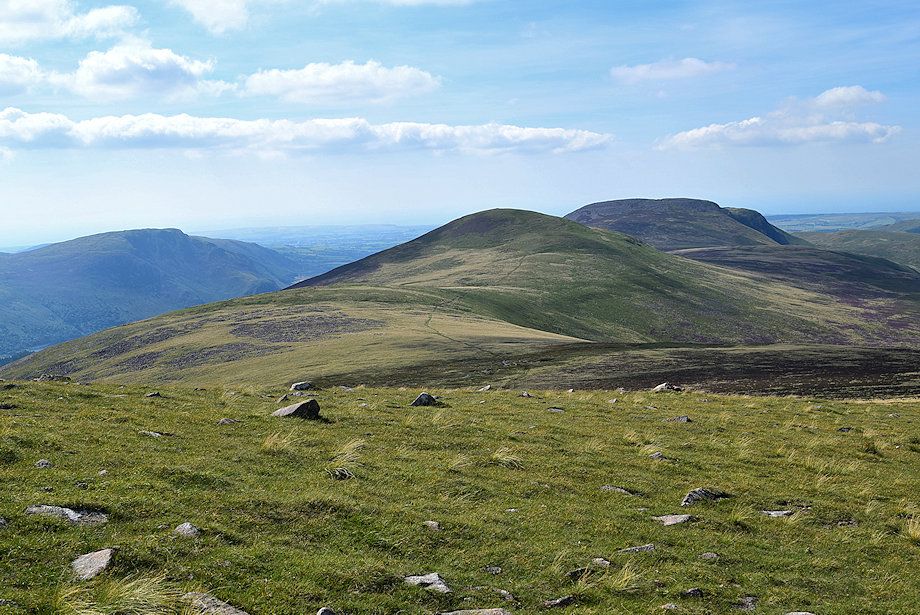
| Looking over to Starling Dodd and Great Borne |
 |
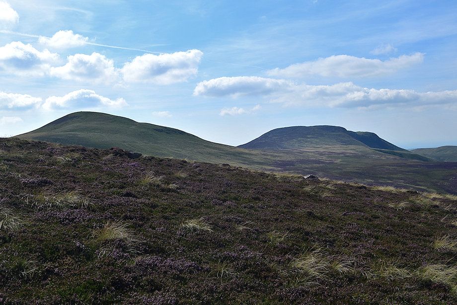
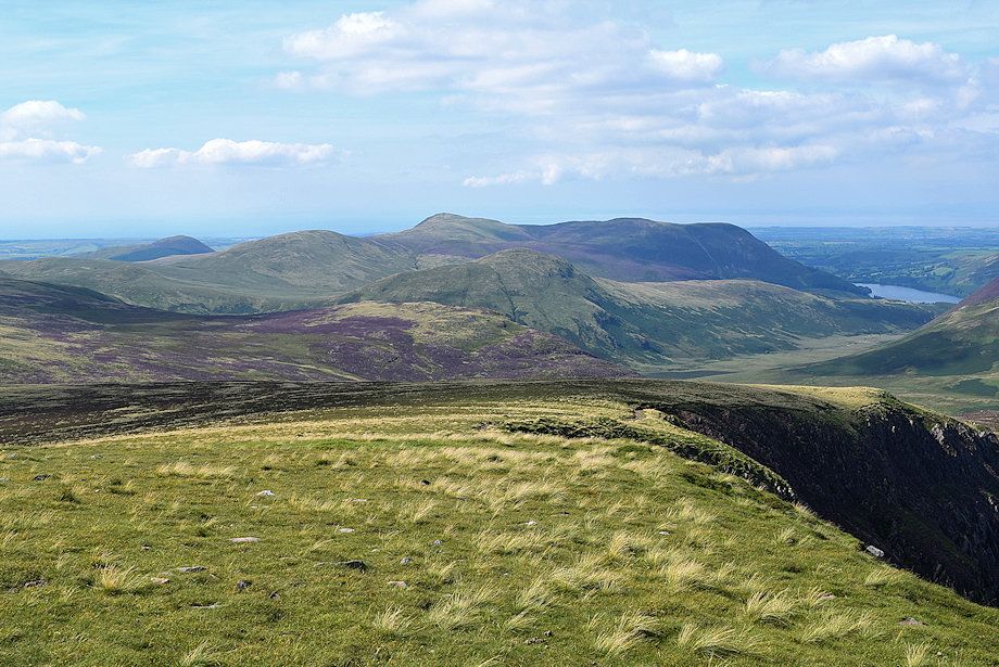
| The Loweswater Fells of Knock Murton, Gavel Fell, Blake Fell, Hen Comb and Carling Knott |
 |
| Looking back to the twin summits of Mellbreak from the climb along Lingcomb Edge |
 |
| Crummock Water from Lingcomb Edge |
 |
| High Snockrigg, Robinson, Hindscarth and Dale Head from Lingcomb Edge |
 |
| The north east ridge of High Stile and Red Pike from Lingcomb Edge |
 |
| Loweswater from Lingcomb Edge |
 |
| The path comes very close to the headwall of Ling Comb at one point |
 |
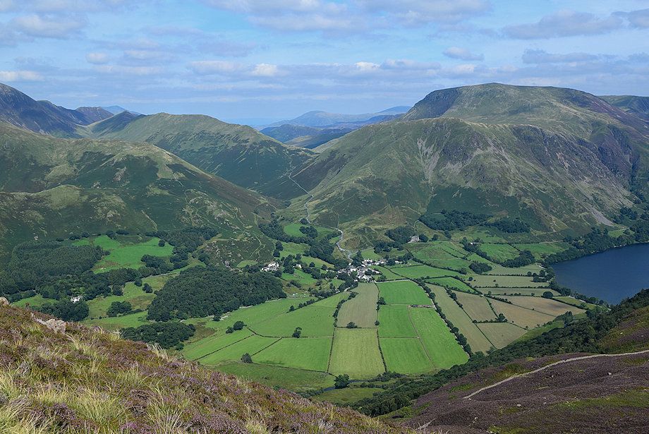
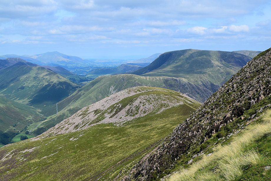
| Looking over Ling Comb to Buttermere, Blencathra and Clough Head are the fells on the distant horizon |
 |
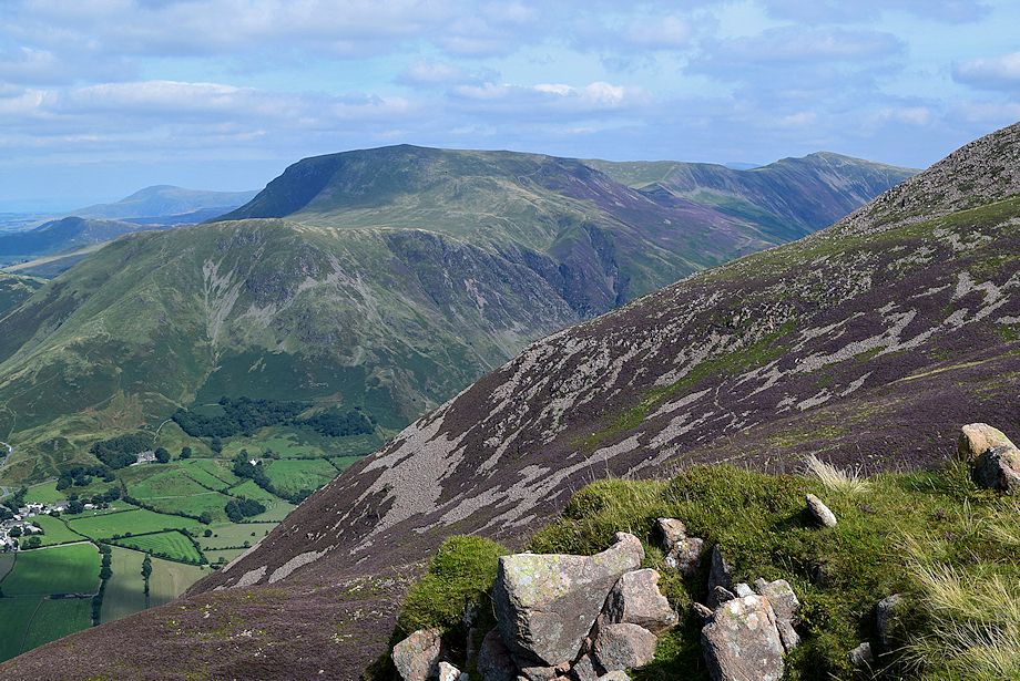
| Robinson, Hinscarth and Dale Head across the steep northern slopes of Dodd |
 |
| Dodd and Red Pike across Ling Comb |
 |
| The gradient eases along the upper section of Lingcomb Edge |
 |
| Crummock Water from and the Grasmoor group of fells from Lingcomb Edge |
 |
| Robinson over Dodd from Lingcomb Edge |
 |
| The Loweswater group of fells from the upper part of Lingcomb Edge |
 |
| Crag Fell, Starling Dodd and Great Borne from the upper part of Lingcomb Edge |
 |
| Approaching the top of Lingcomb Edge |
 |
| Looking back along Lingcomb Edge |
 |
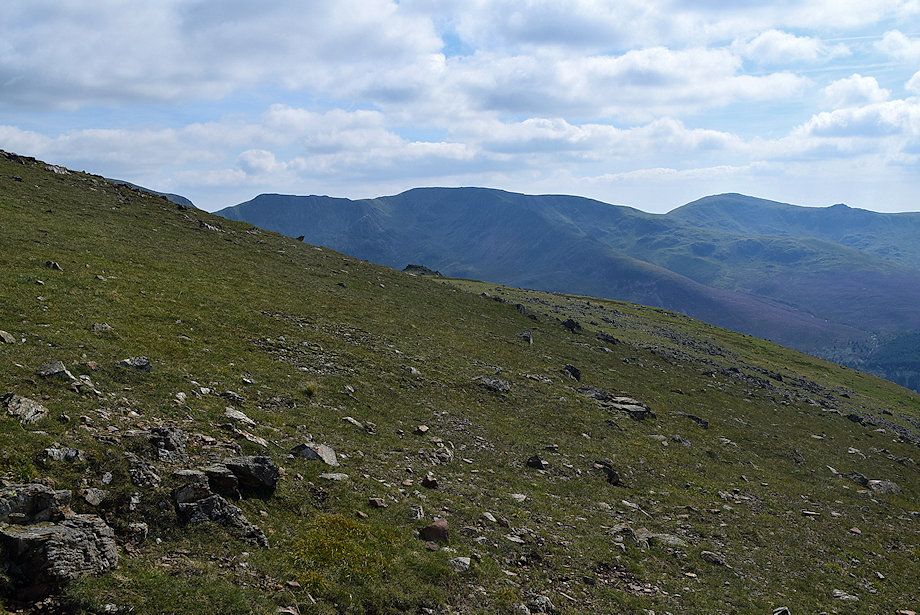
| The ridge path connecting Red Pike and Starling Dodd |
 |
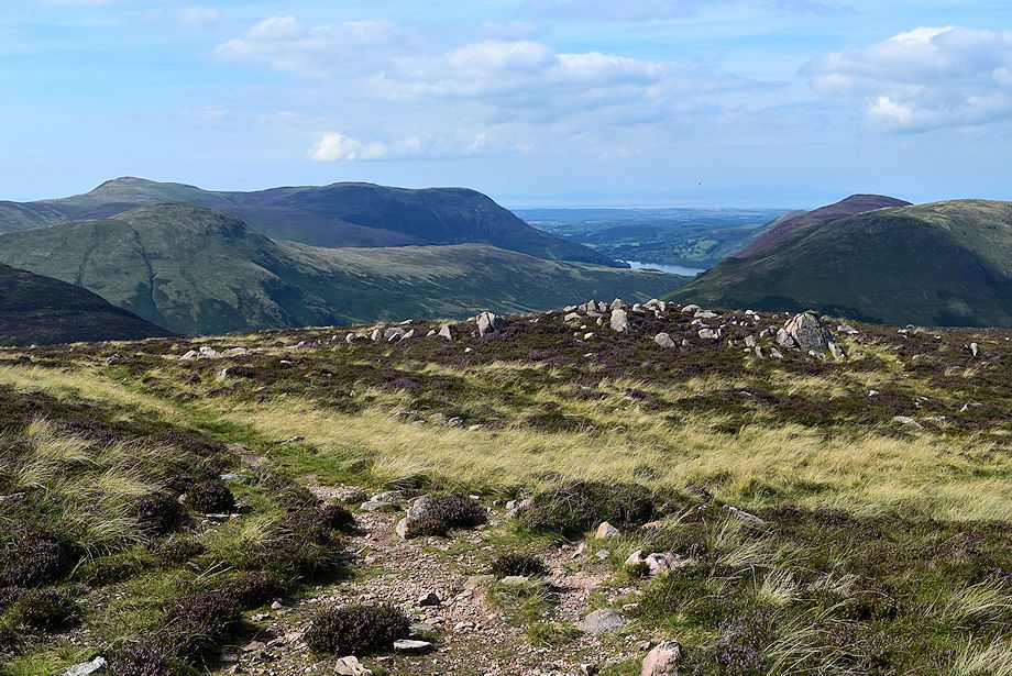
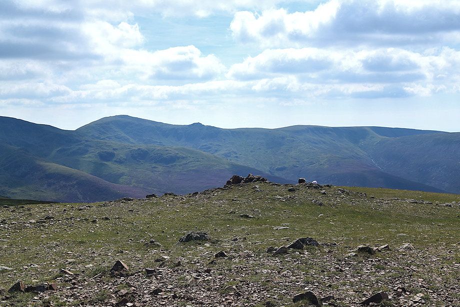
| Looking over Dodd to Keswick and a small section of Derwent Water comes into view from the top of Lingcomb Edge |
 |
| Crummock Water from the top of Lingcomb Edge |
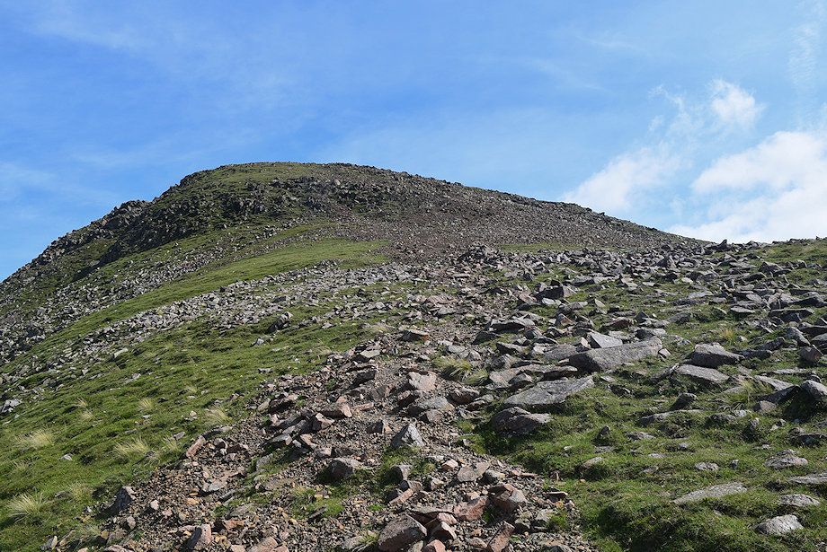 |
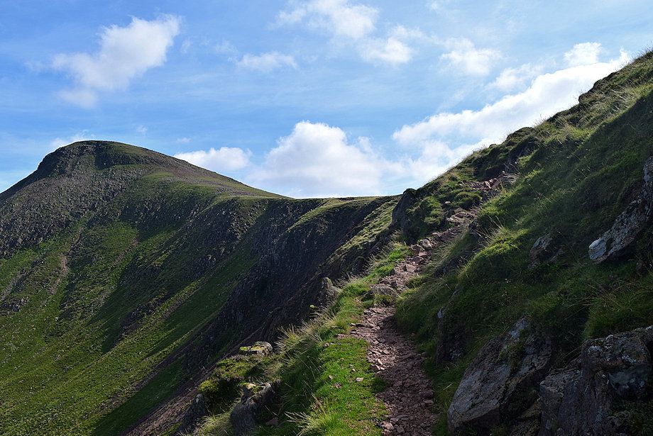
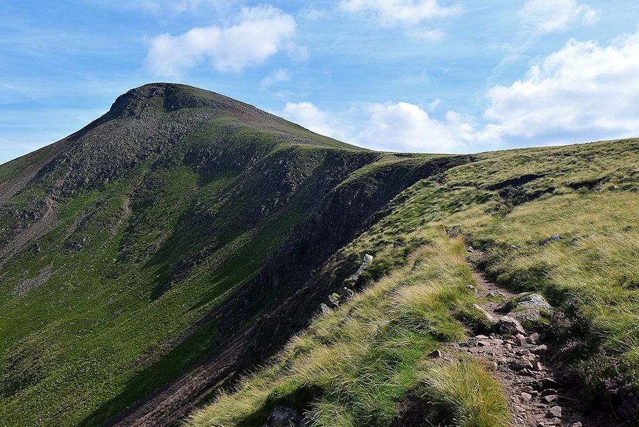
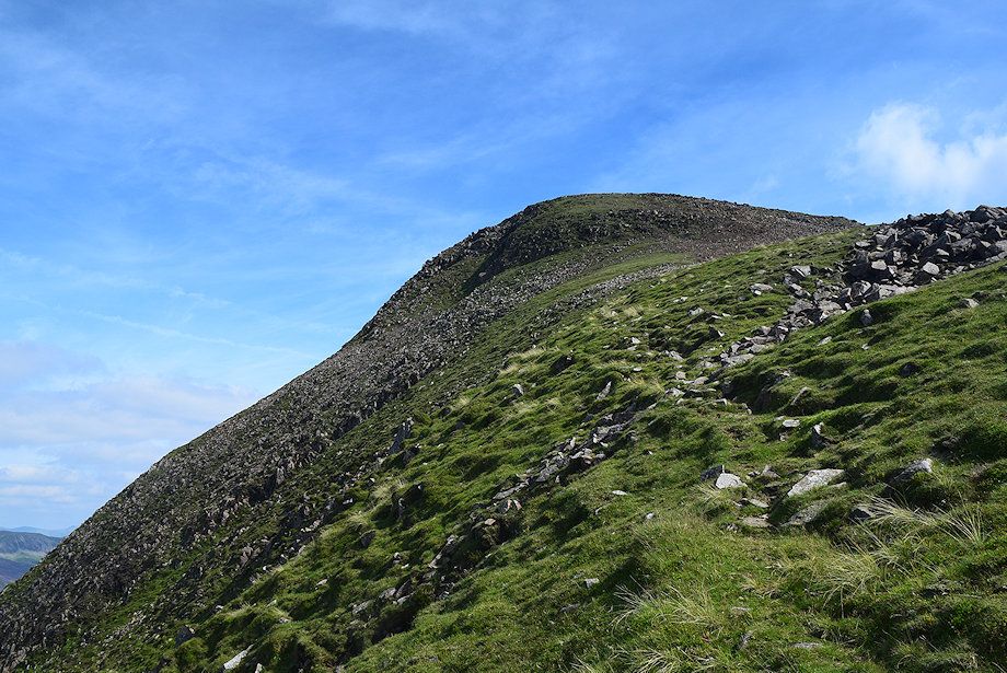
| The final slope leading up to the summit of Red Pike. The path trends right from the marker cairn in the centre of the photo to join the ridge path. The cairn helps to locate this path along Lingcomb Edge if descending Red Pike in hill fog |
 |
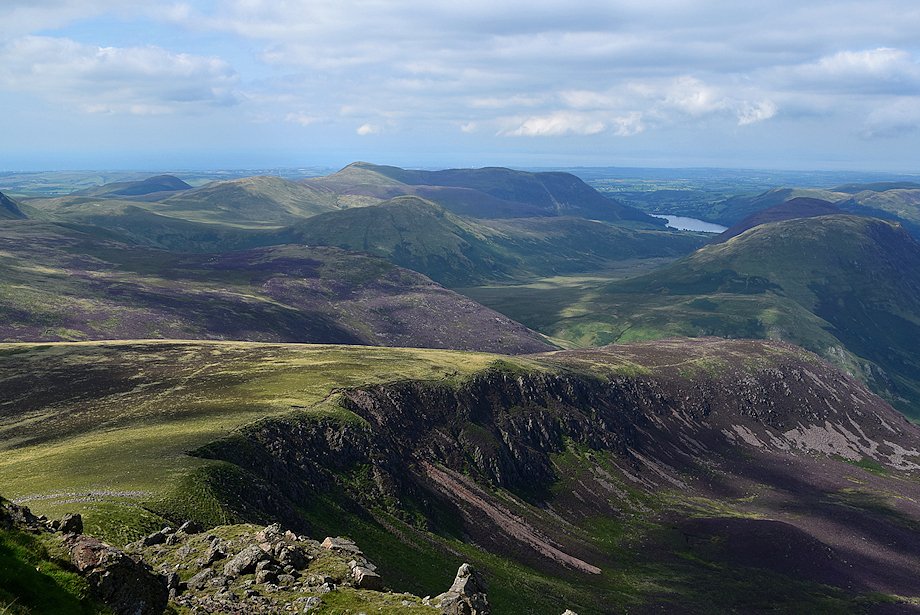
| Ennerdale Water from the climb to the summit |
 |
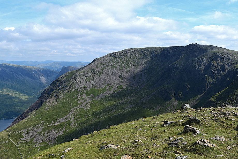
| Looking over towards Black Crag, Scoat Fell, Haycock and Little Gowder Crag |
 |
| Looking back along the line of ascent from just below the summit of Red Pike |
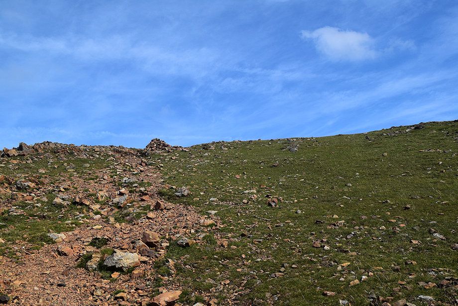 |
| The summit cairn comes into view |
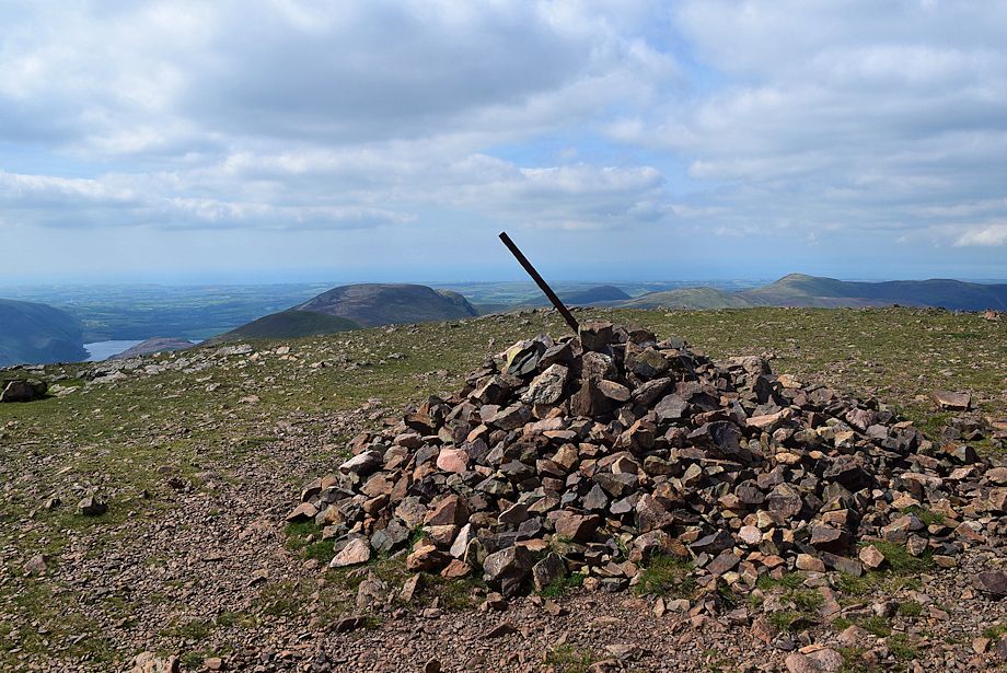 |
| The summit cairn on Red Pike |
 |
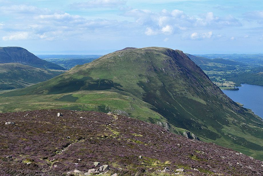
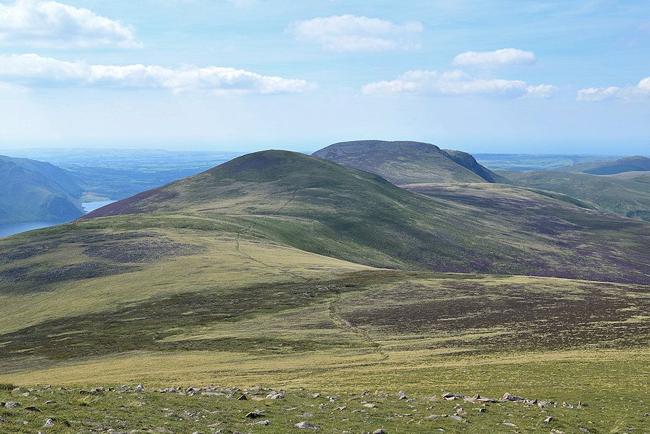
| The subsidiary top of Dodd from the summit of Red Pike |
 |
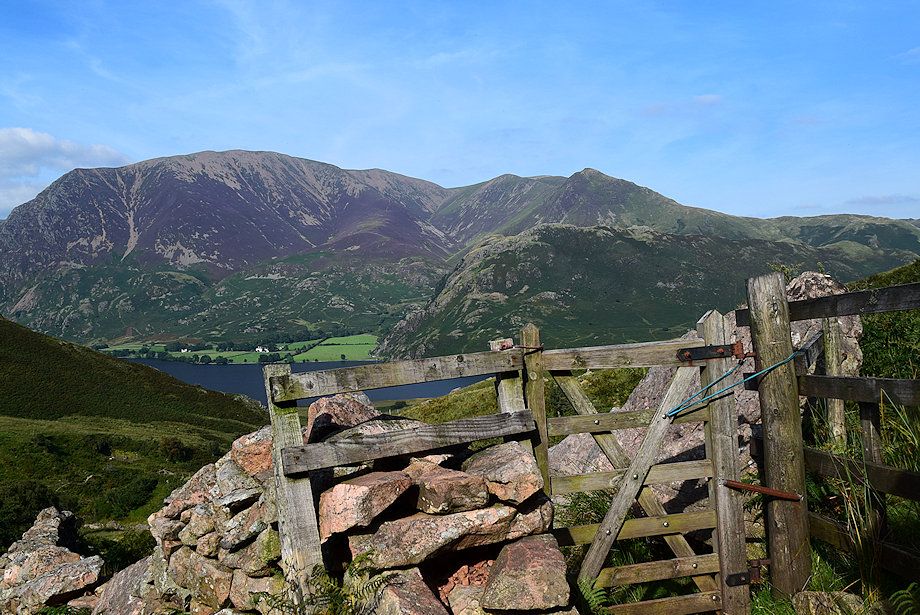
| Robinson, Hindscarth and Dale Head, with the Helvellyn range on the horizon from the summit of Red Pike |
 |
| High Stile from the summit of Red Pike |
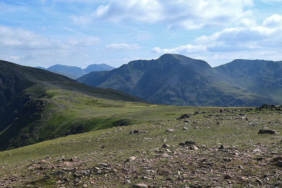 |
| Scafell Pike, Scafell, Pillar and Black Crag from the summit of Red Pike |
 |
| Haycock, Little Gowder Crag and Caw Fell from the summit of Red Pike |
 |
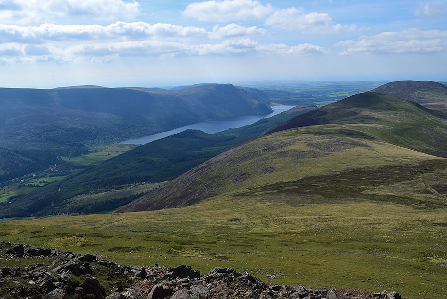
| Ennerdale Water from the summit of Red Pike |
 |
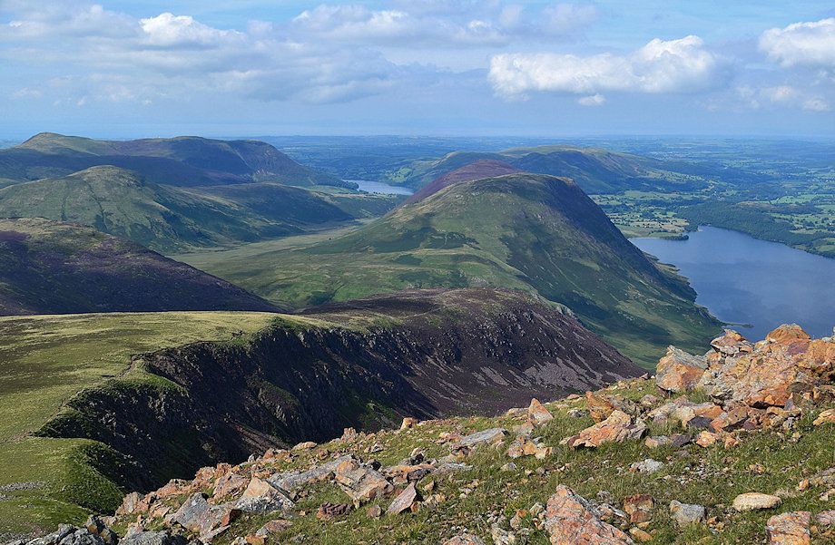
| Lingcomb Edge from the summit of Red Pike |
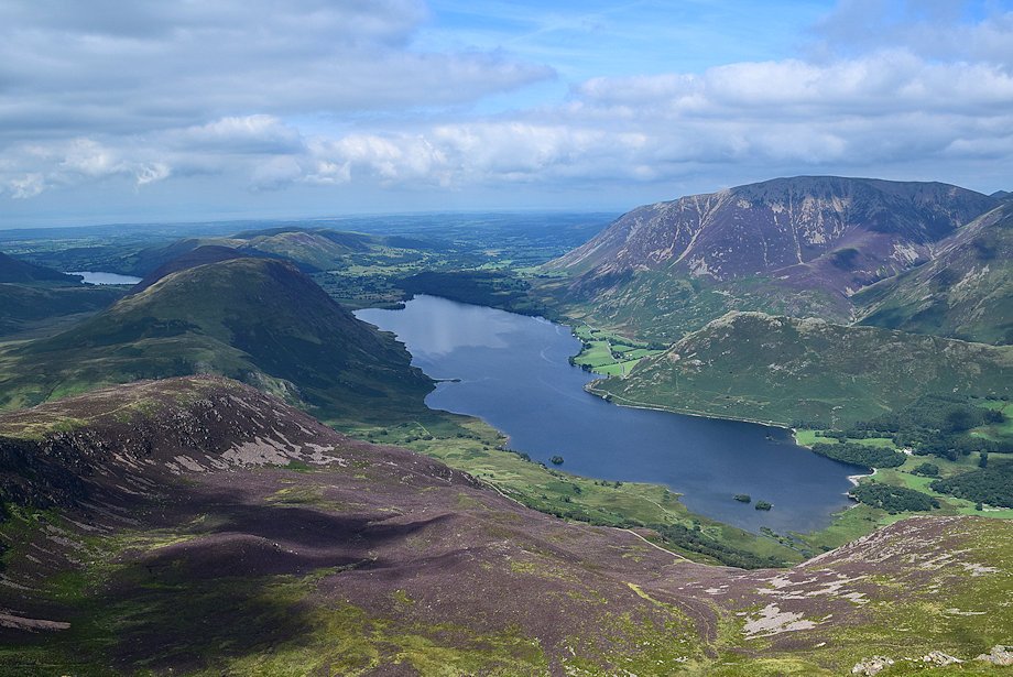 |
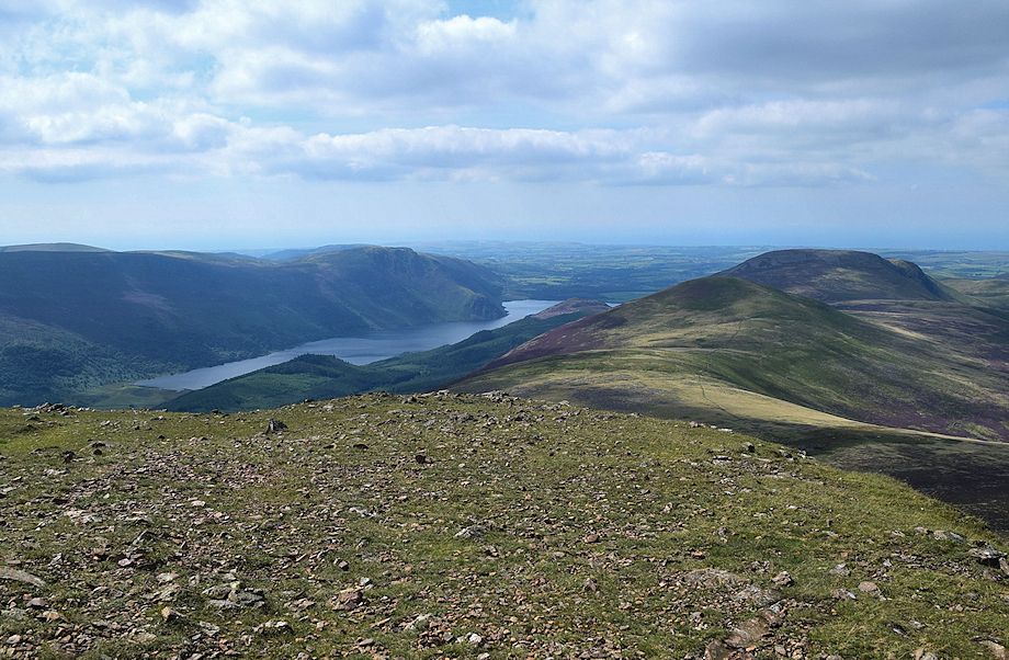
| Crummock Water from the summit of Red Pike |
