 |
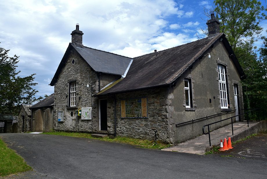
| The walk starts from Cartmel Fell's parish hall which is sited next to the church. It was built in 1871 as a one-roomed school and later extended as the pupil numbers increased, the school closed in 1971 and the building now serves as a community hub |
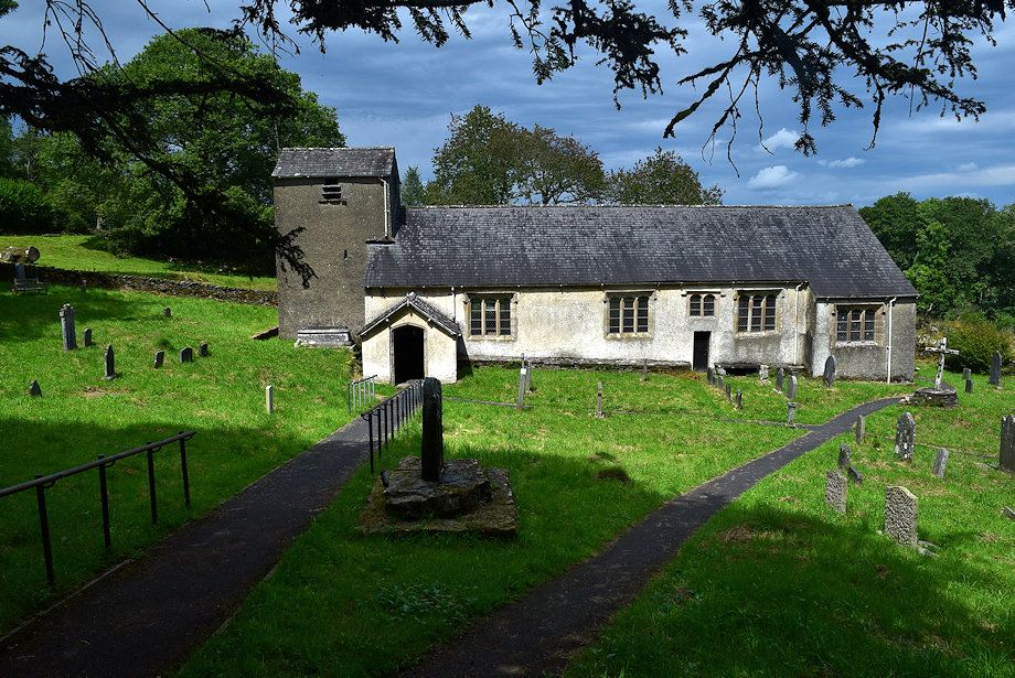 |
| St. Anthony's Church was built in 1504 as a Chapel of Ease to serve the scattered community on Cartmel Fell who previously had to walk seven miles or more to attend services in a secular church within Cartmel Priory. The priest had a second job, teaching the children, a large boxed pew to the right of the altar served as the classroom, some of the pupils initials can still be seen carved on its seats together with some multiplication tables - early cribsheets perhaps. Another poignant reminder of the past is a large stone on the grass bank opposite the parish hall which has been worn smooth by generations of children who used it as a slide during their play periods |
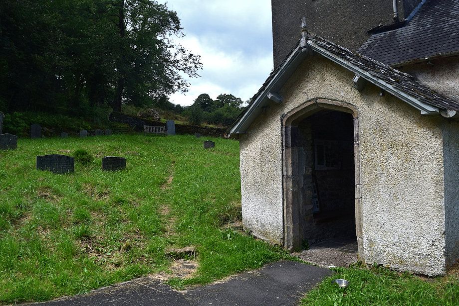 |
| Because of its remote location St Anthony's Church escaped the attention of the iconoclasts in the Cromwellian troops who were billeted for a short time in Cartmel during the civil war. A wooden crucifix on the rood screen survived, one of only three in the entire country from that turbulent period, it is now housed in the Kendal Museum The church still has regular services on most sundays and is left open every day from 9.00am to dusk, it's well worth a visit. Despite its age it has an air of modernity about it, discreet lighting comes on automatically as the door is opened and a QR code can be scanned if you wish to make a donation towards its upkeep. We came away financially a little poorer but enriched by our visit and followed a path which leads up from the porch door |
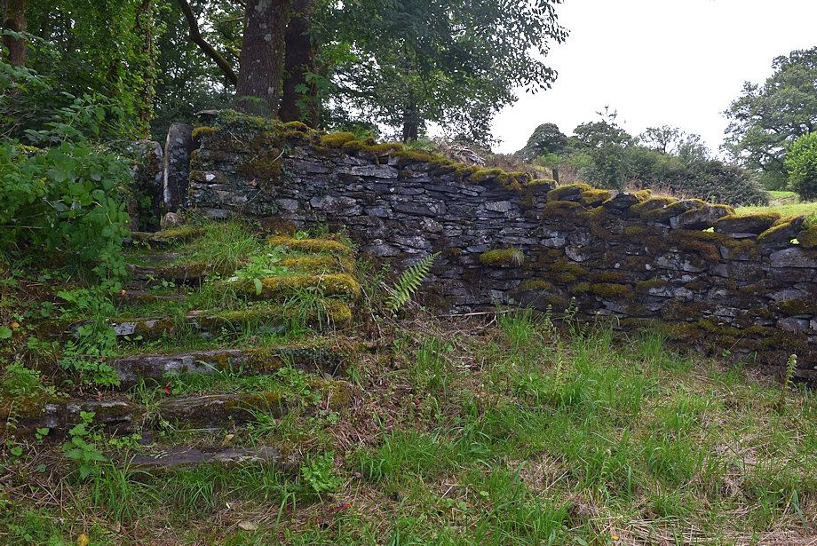 |
| The path leads up to a set of ancient steps and a squeeze stile giving access to ..... |
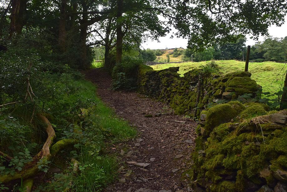 |
| ..... a path alongside the woodland above the church |
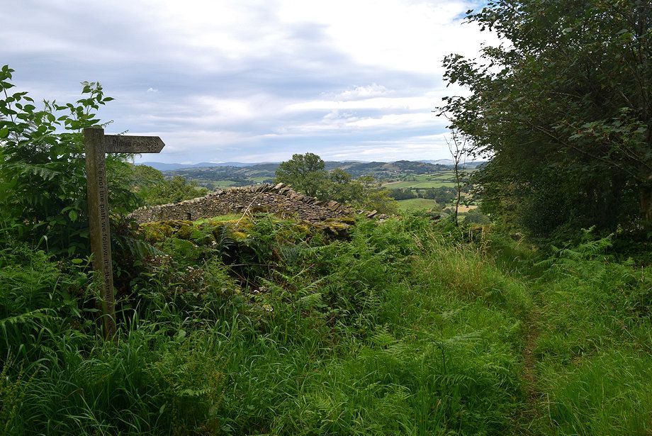 |
| At the top of the woodland is a footpath sign, carved into its post are the words - It's not the path we follow, it's the trail we leave behind, an echo of a saying attributed to Ralph Waldo Emerson, it has a deep philosphical meaning if you think about it. There are few more of these signs in the vicinity of the church which all have dedications to past parishioners |
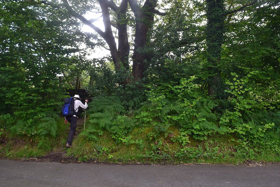 |
| The sign points to a tall ladder stile across the lane which gives access to a small pasture field |
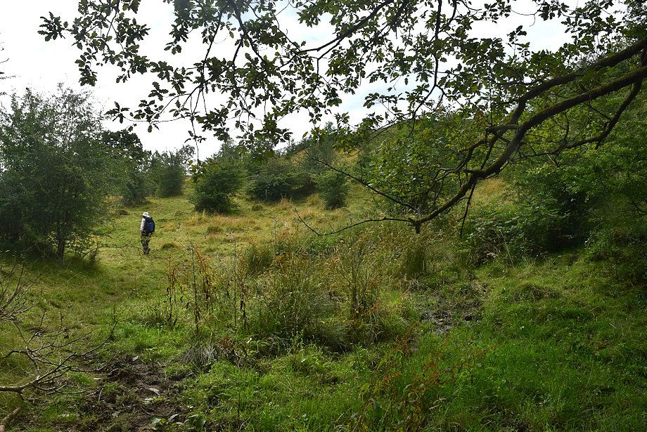 |
| A path rises diagonally across the field towards a ..... |
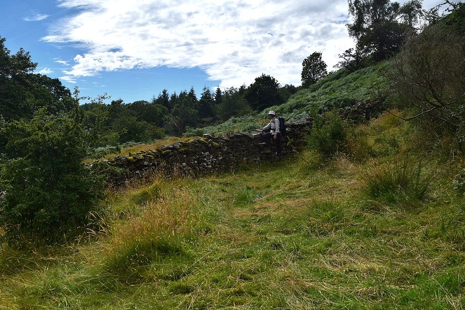 |
| ..... a step stile built into the wall below Raven's Barrow |
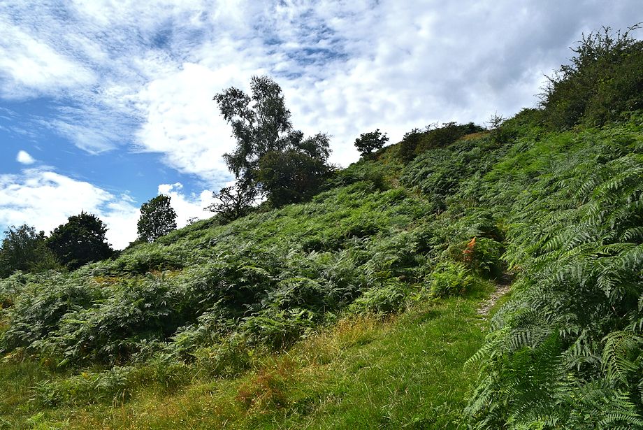 |
| From the stile it's only a short climb to the summit of Raven's Barrow |
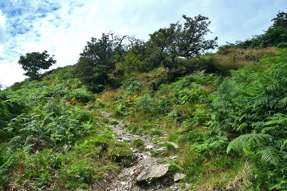 |
| The steepest part of the path leading up to Raven's Barow |
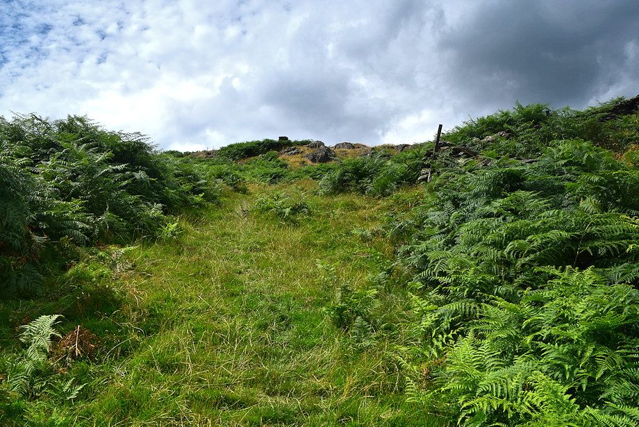 |
| The summit soon comes into view |
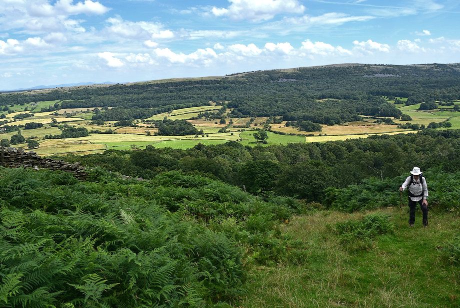 |
| Looking back from the climb to Raven's Barrow |
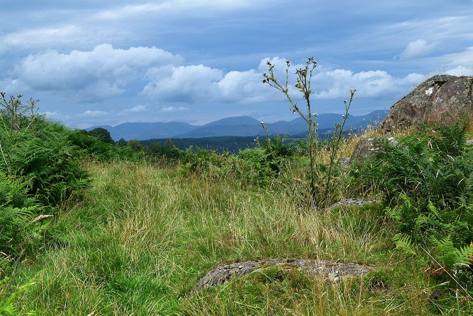 |
| Zooming in on Red Screes from the path to the summit |
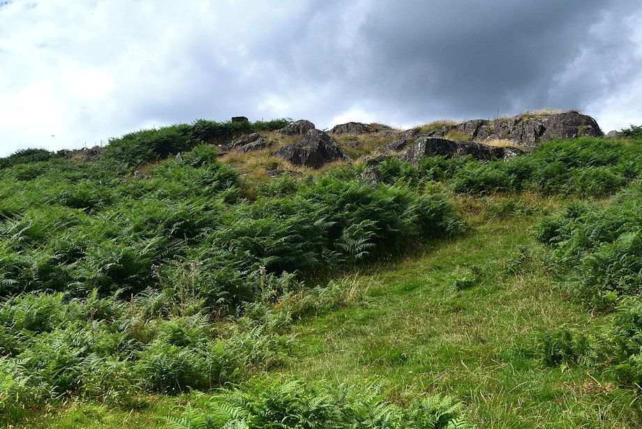 |
| The path weaves its way around a series of rock outcrops below the summit |
 |
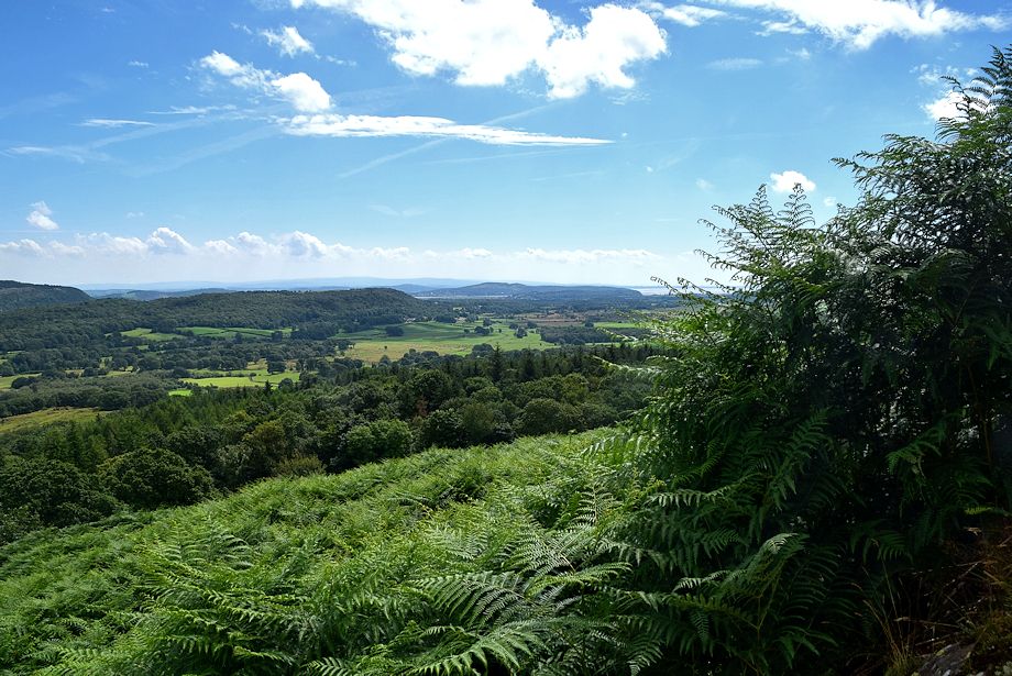
| Looking over to the distant Far Eastern Fells |
 |
| Arnside Knott across Morecambe Bay |
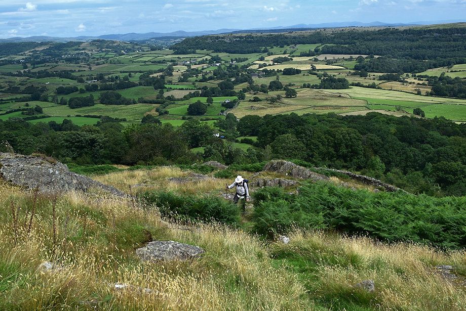 |
| The Winster Valley from just below the summit |
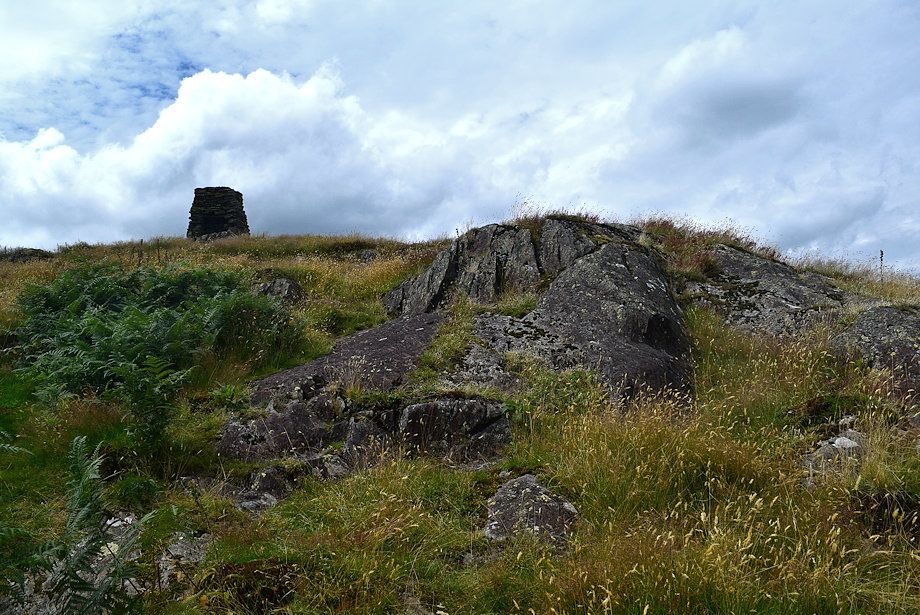 |
| Approaching the summit of Raven's Barrow |
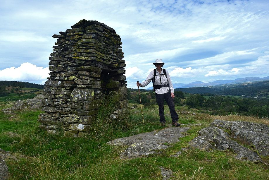 |
| The summit cairn on Raven's Barrow, known as Ravensbarrow or Rainsbarrow Old Man, although not quite sited on the highest point it provides the finest viewpoint of the surrounding area. We resisted the urge to sit on the seat in the alcove built into the cairn, as the decaying and bowed oak lintel above the alcove resembled the Sword of Damocles! |
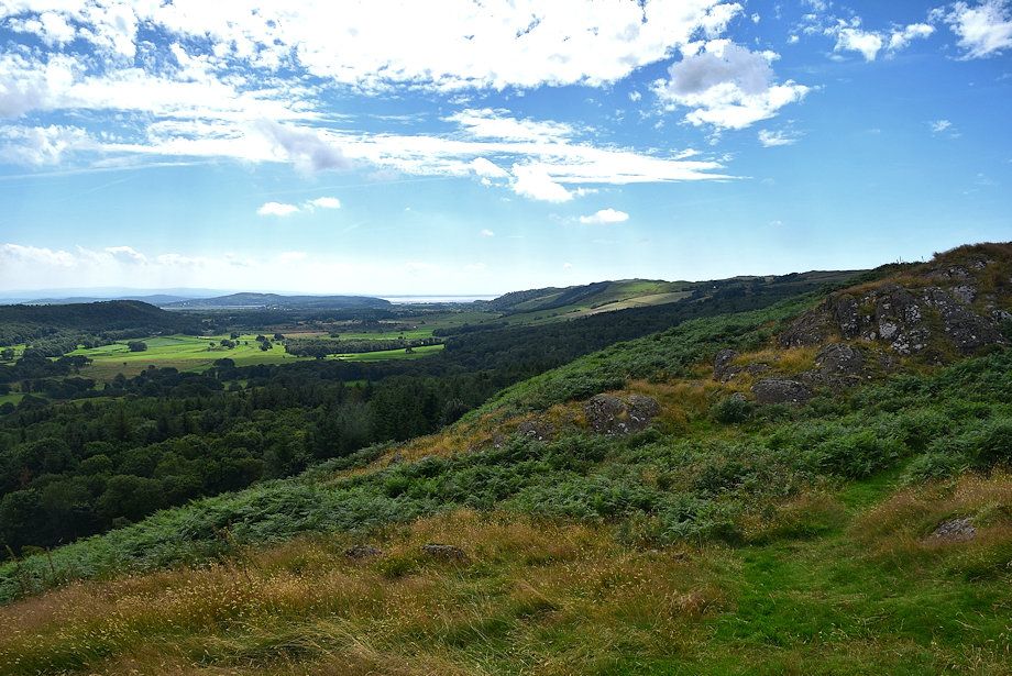 |
| Morecambe Bay and Newton Fell from Raven's Barrow |
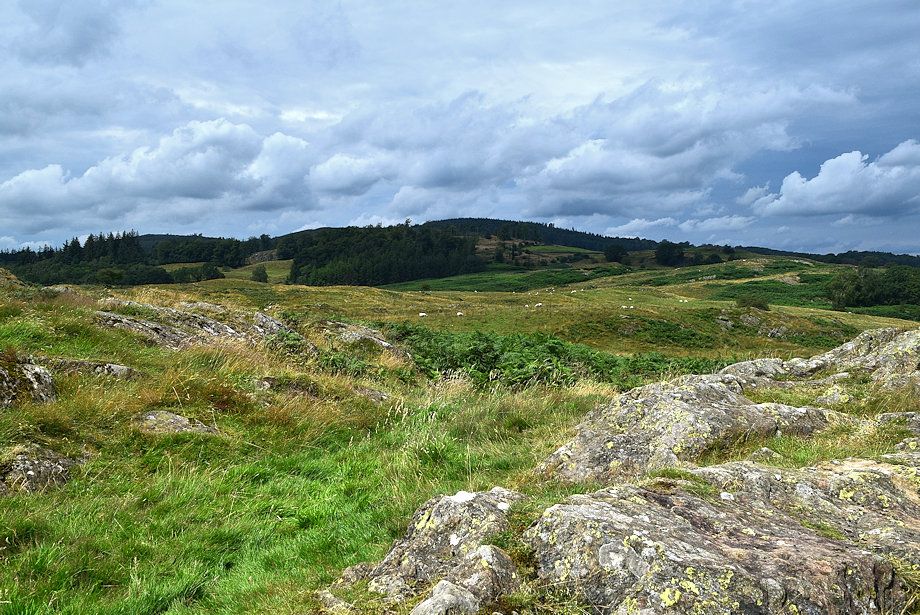 |
| Gummer's How and Birch Fell from Raven's Barrow |
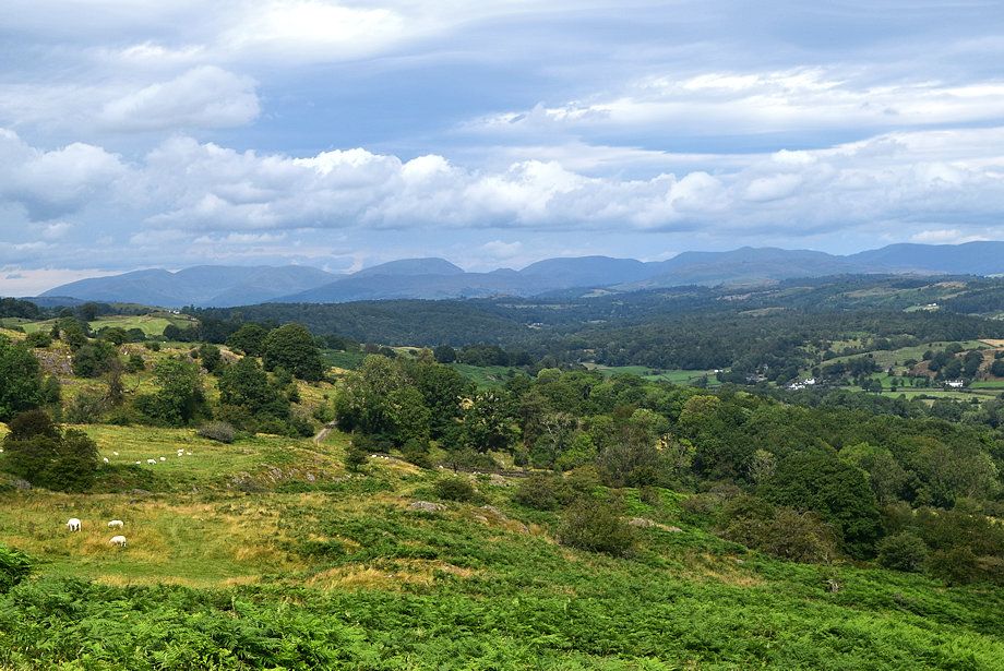 |
| Looking north, Helvellyn, Fairfield, Dove Crag, Red Screes, Caudale Moor, Thornthwaite Crag, Ill Bell, Yoke, Madale Ill Bell, Harter Fell and Kentmere Pike on the horizon |
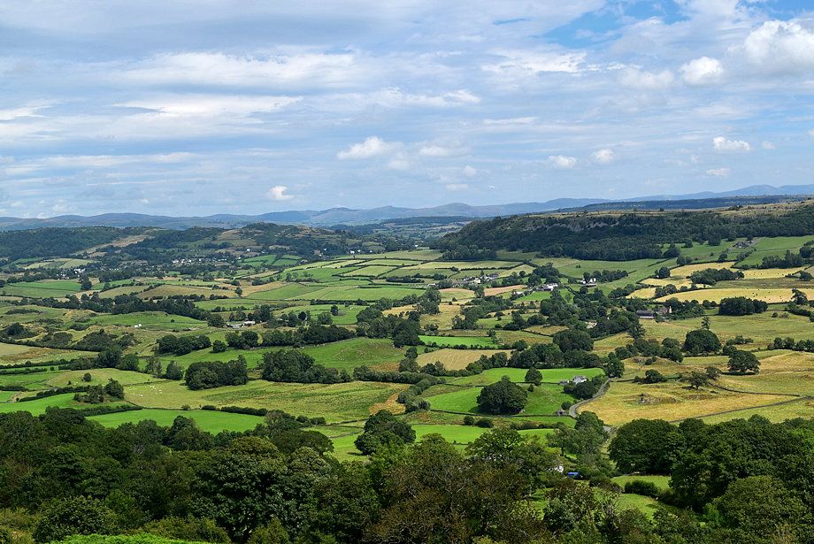 |
| The Winster Valley from Raven's Barrow |
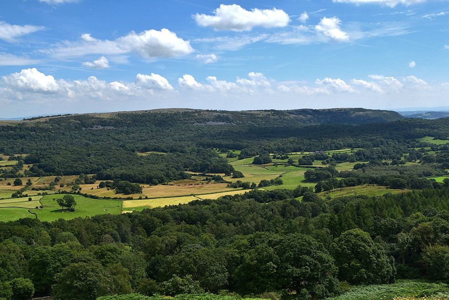 |
| Whitbarrow from Raven's Barrow |
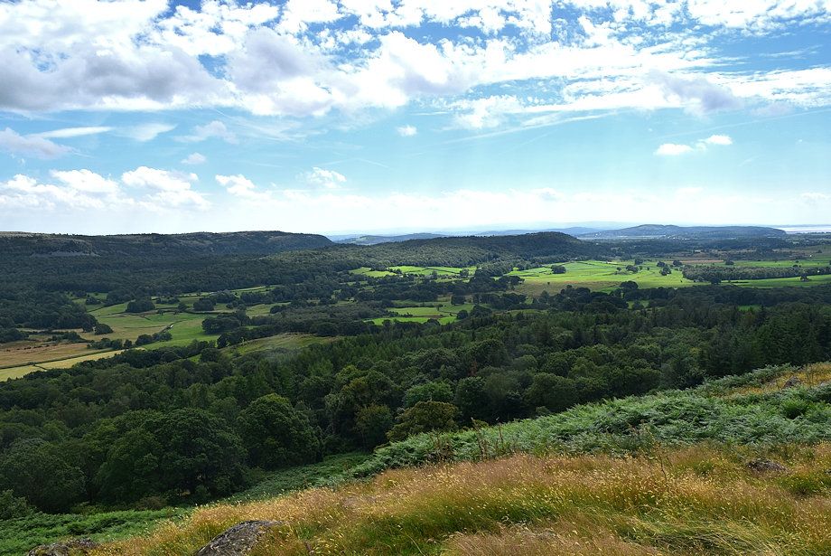 |
| The lower Winster Valley from Raven's Barrow |


