 |
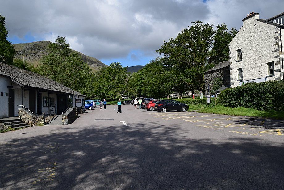
| The LDNP car park in Glenridding |
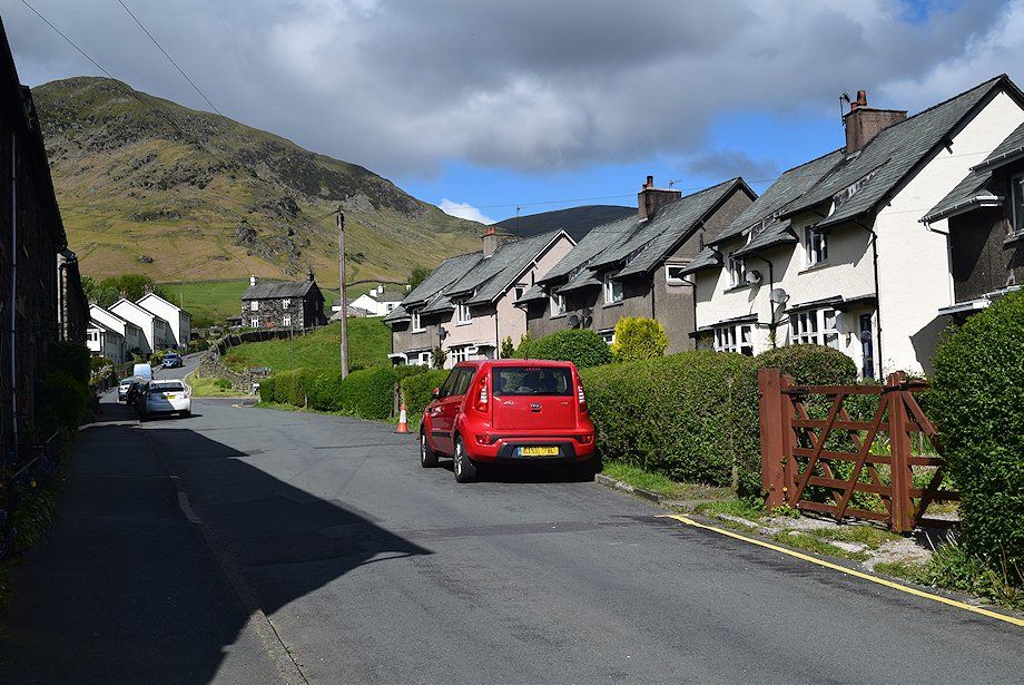 |
| The route leaves the village by Greenside Road passing the Travellers Rest Pub and the lane that leads down to Rattlebeck Bridge and Gillside |
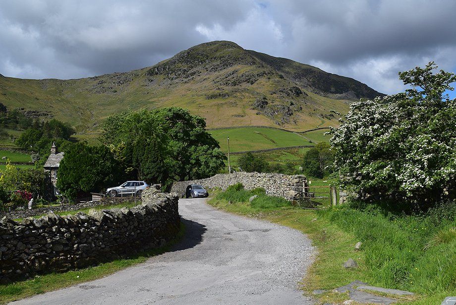 |
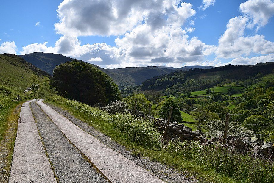
| Birkhouse Moor from the lane to Gillside |
 |
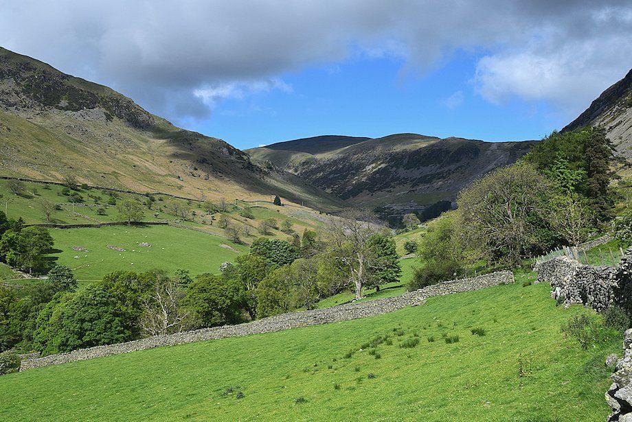
| Greenside Road continues up to and beyond Rake Cottages |
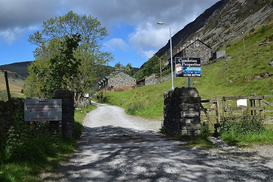 |
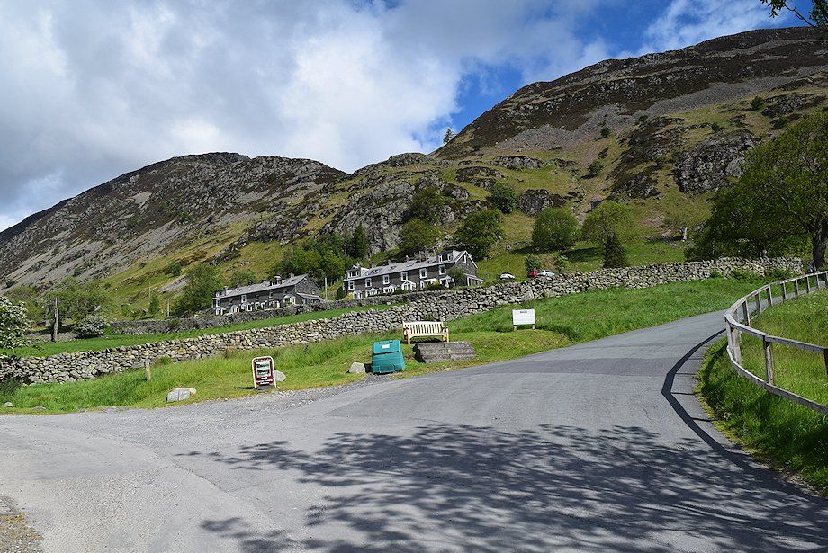
| The public road ends at Rake Cottages |
 |
| Raise and the Stang ridge from near Rake Cottages |
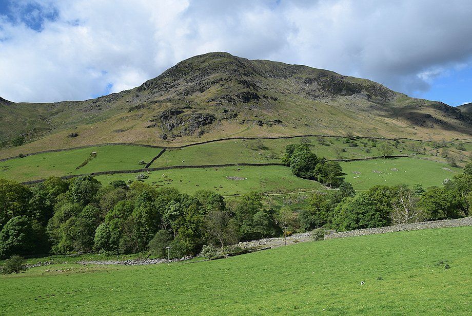 |
| Birkhouse Moor from near Rake Cottages |
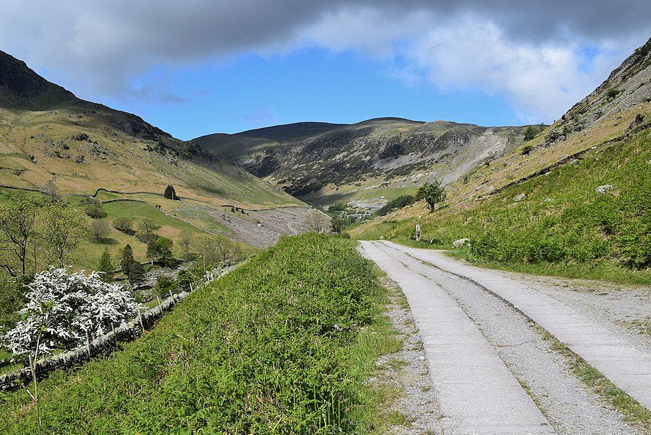 |
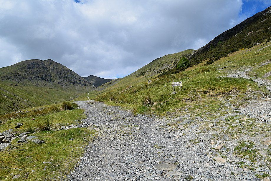
| Greenside Road continues on towards the Youth Hostel and the disused Greenside Lead Mine |
 |
| Looking back along Greenside Road |
 |
| The approach to the Youth Hostel and the site of the lead mine |
 |
| Passing what appears to be the old explosives store of the lead mine |
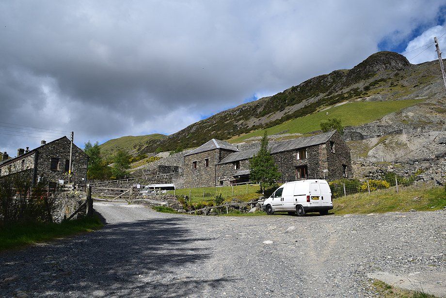 |
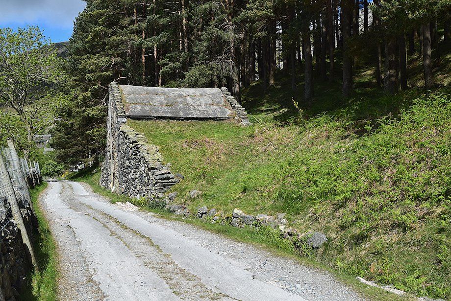
| Most of the buildings of the mine have been demolished although a few, including part of the smelt mill, have been converted into private hostels |
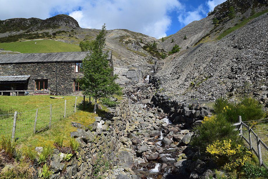 |
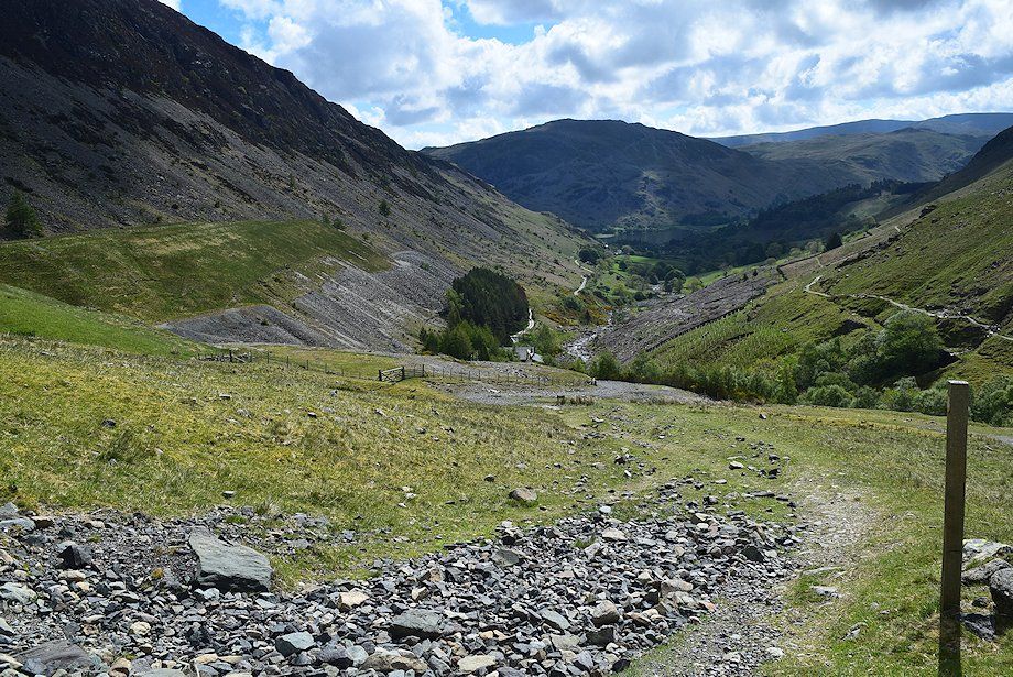
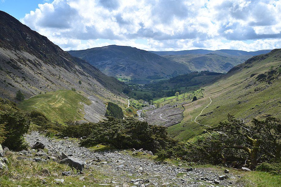
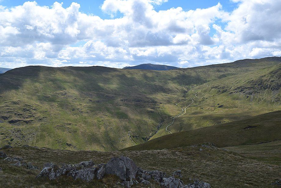
| Looking up Swart Beck around which much of the lower workings were concentrated, including the main Lucy Tongue Level and Low Horse Level. The concrete structures in the stream bed are the remains of the foundations of the old ore bin |
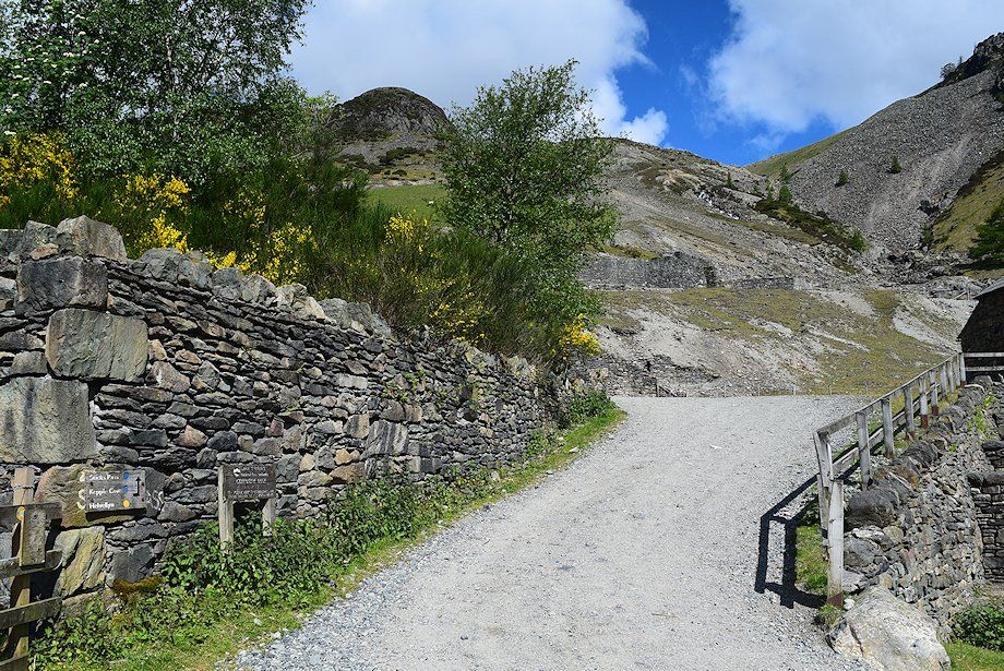 |
| The steep slope above the renovated mine buildings have been terraced to accomodate the ore processing buildings which have all been demolished. The paths to Sticks Pass, Kepple Cove and Helvellyn follow a zigzag track below the terrace revetments and are well signposted |
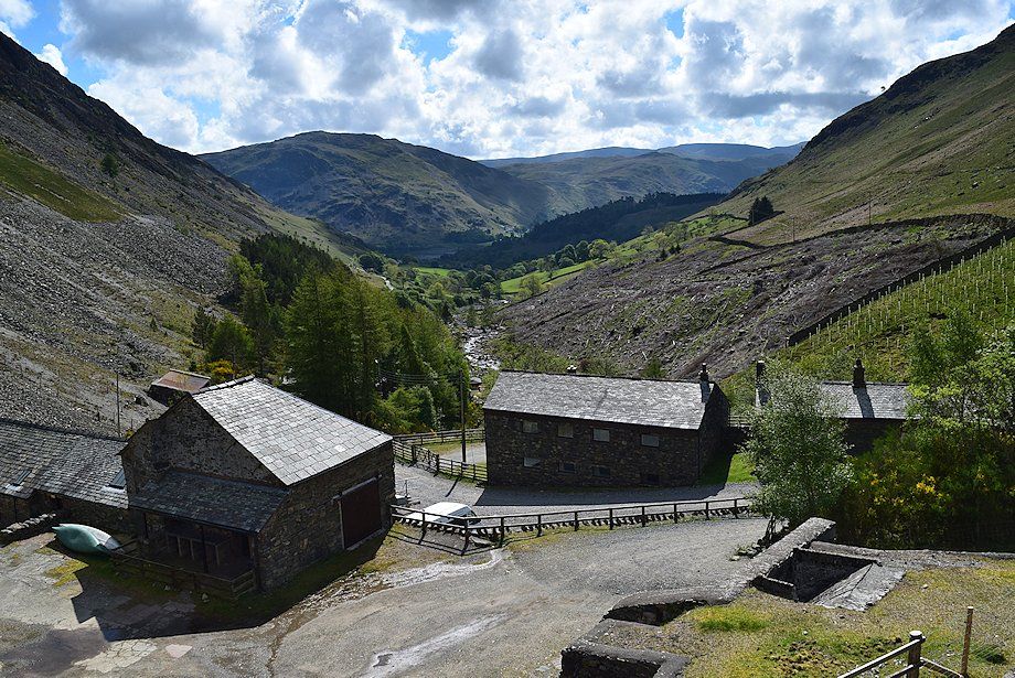 |
| Looking down onto the private hostels from one of the terraces |
 |
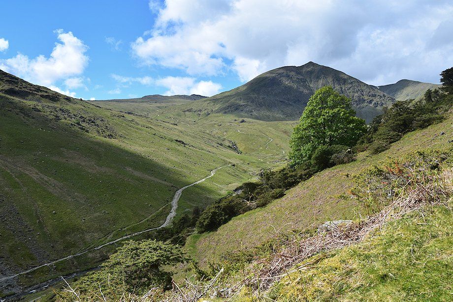
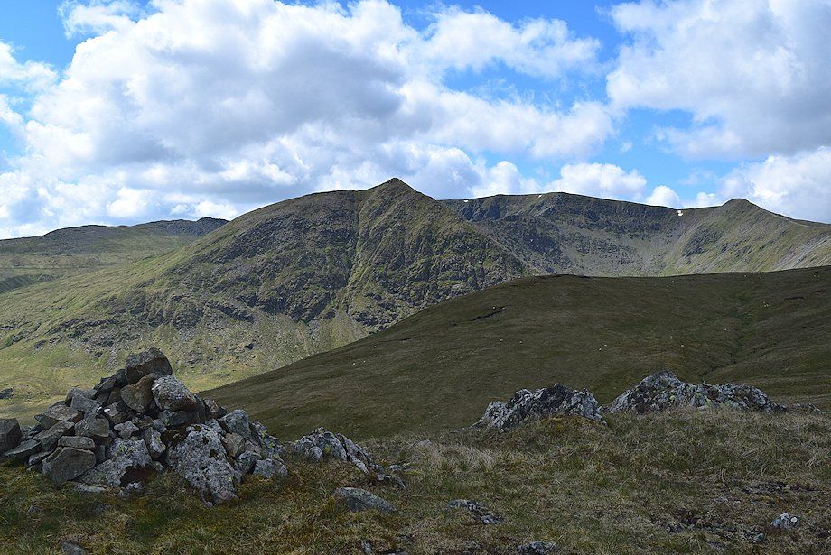
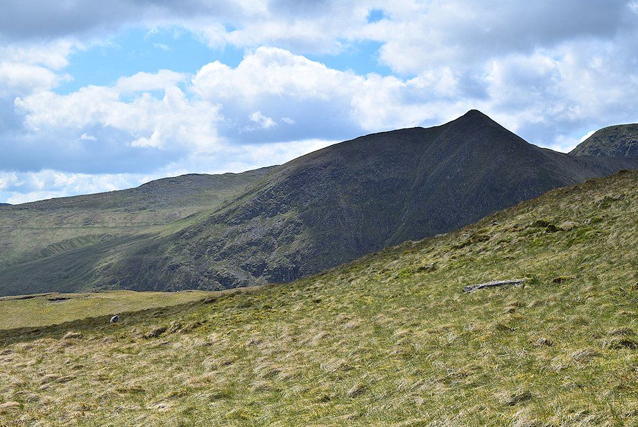
| Catstycam and Helvellyn Lower Man from the terrace track |
 |
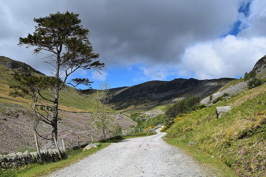
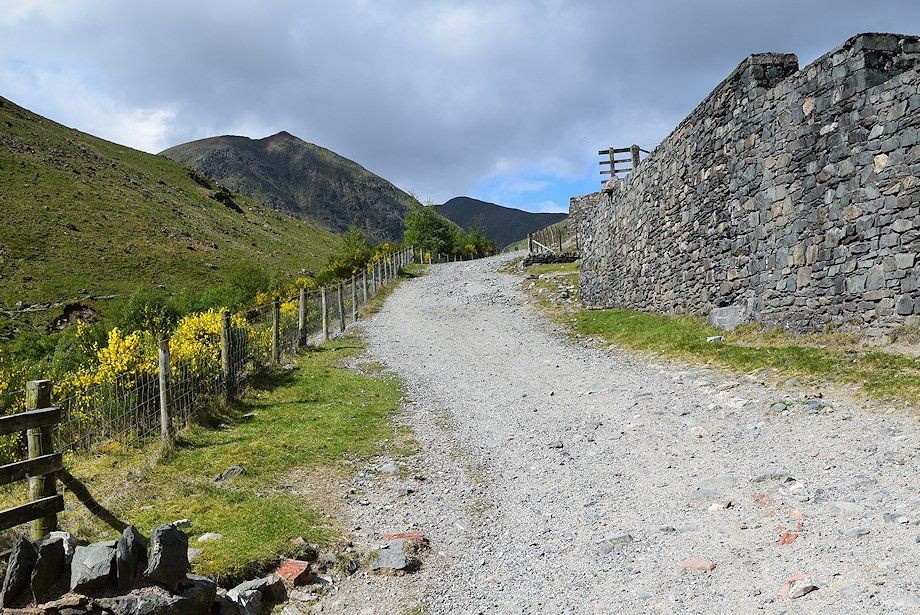
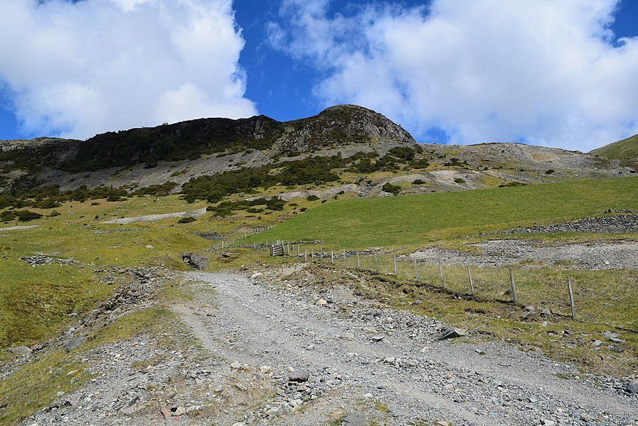
| Above the terraces the track continues on towards Kepple Cove. The bridleway to Sticks Pass turns off to the right |
 |
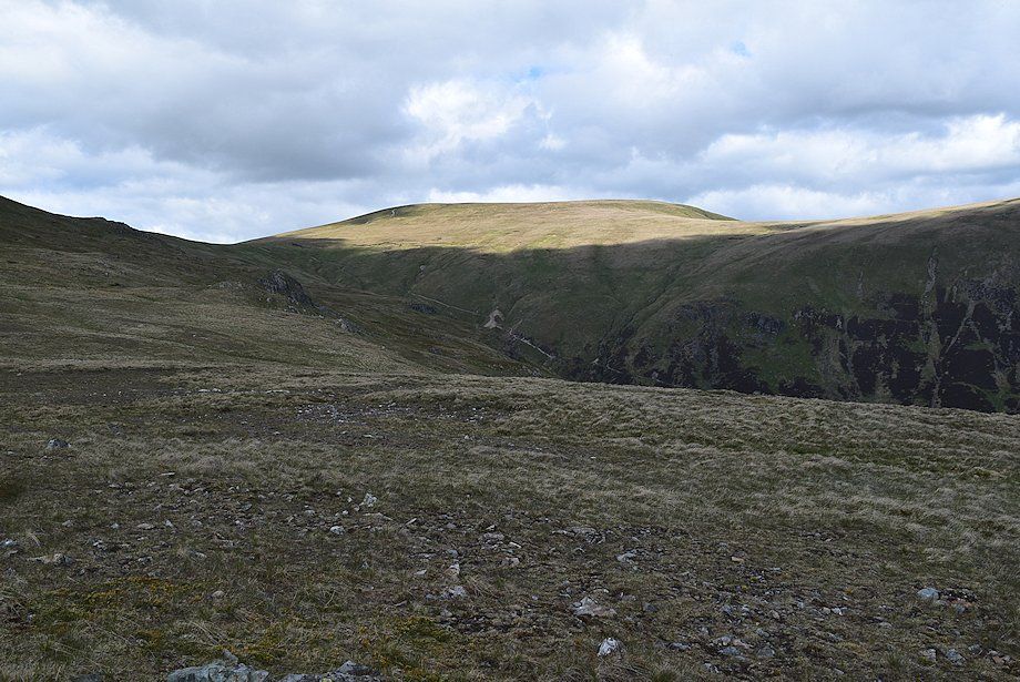
| Stang End from the Sticks Pass bridleway |
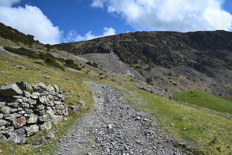 |
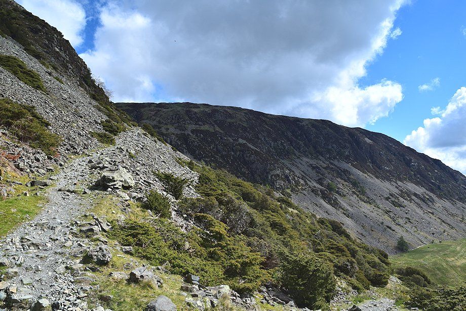
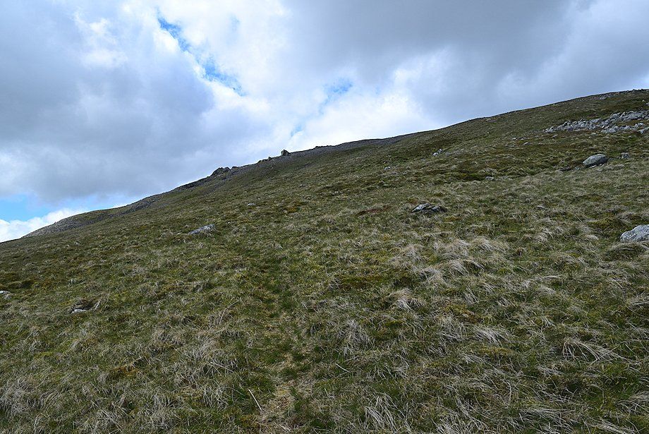
| Sheffield Pike from the Sticks Pass bridleway which climbs the steep slopes below Stang End in a series of wide zigzags |
 |
| Looking back, High Spying How appears between the slopes of Birkhouse Moor and Catstycam |
 |
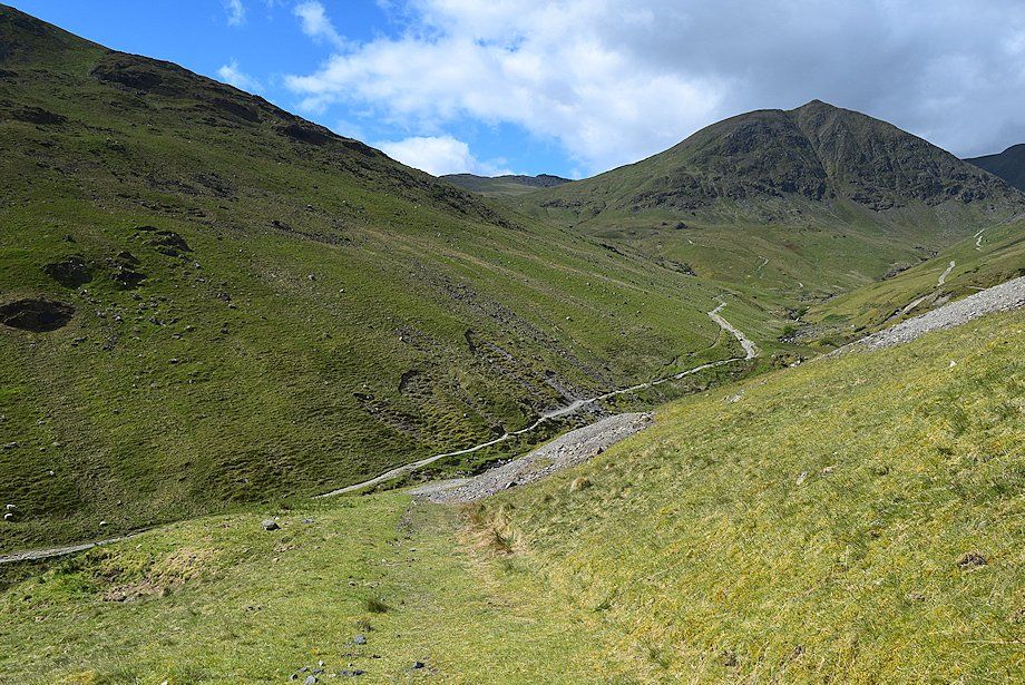
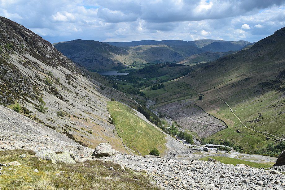
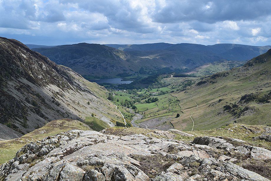
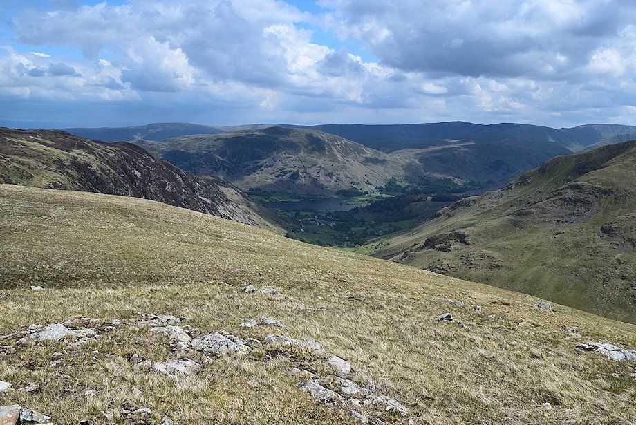
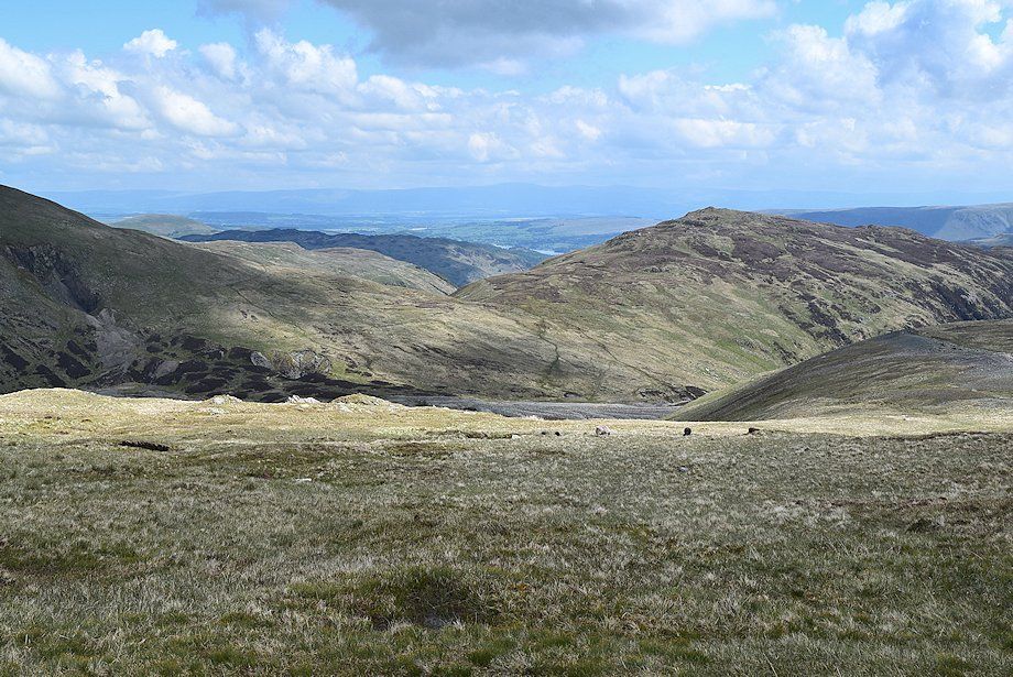
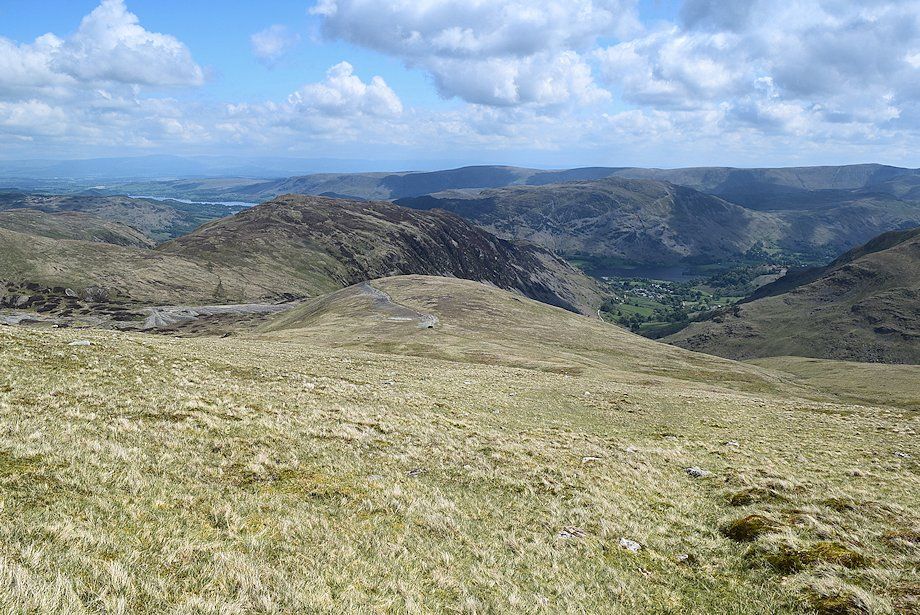
| Looking back to Place Fell and Glenridding |
 |
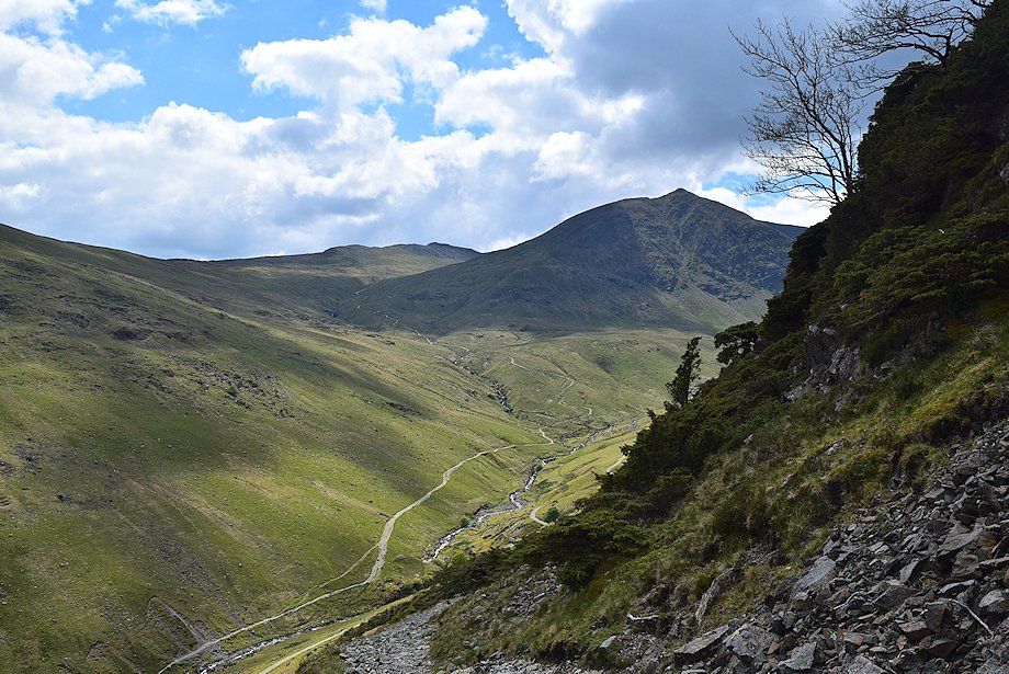
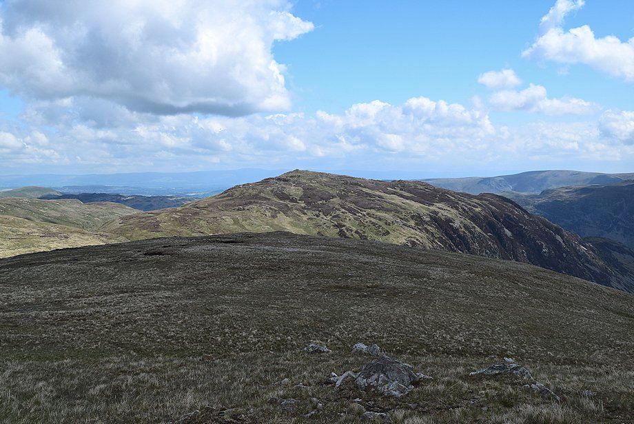
| Sheffield Pike from the bridleway below Stang End |
 |
| Looking back towards Catstycam and Helvellyn Lower Man |
 |
| Birkhouse Moor from the bridleway below Stang End |
 |
| Glenridding from the bridleway |
 |
| Catstycam across the crags of Stang End |
 |
| Approaching the course of the old smelting flue |
 |
| Looking back towards Birkhouse Moor and High Spying How |
 |
| Crossing the remains of the smelter flue. It's time to leave the Sticks Pass bridleway and follow the course of the flue across the slopes of Stang |
 |
| Looking down onto the converted buildings of the old mine |
 |
| High Spying How and Catstycam over Stang End from the start of path alongside the course of the smelter flue |
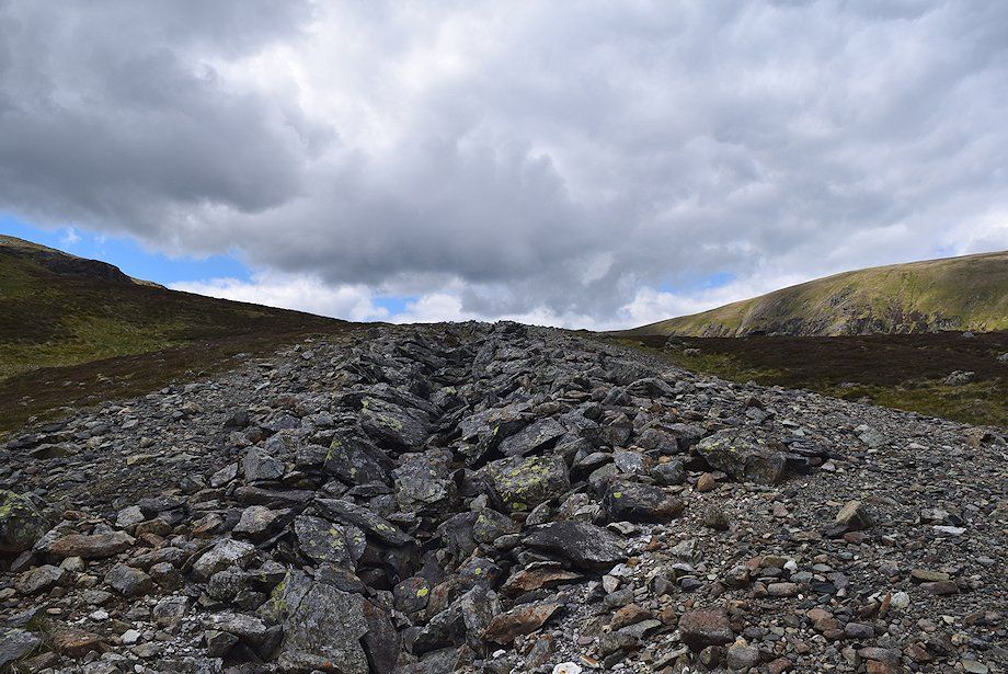 |
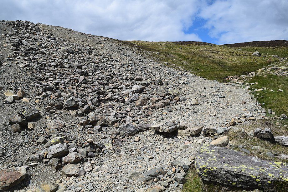
| The smelter flue, marked as "The Chimney" on OS maps, is now almost entirely collapsed after it fell into disuse when the smelter closed nearly a hundred years ago. It took the form of deep cutting into the bedrock which was arched with stone and covered with soil and turf. It's almost a mile long and terminates at a ruined vertical stack near the summit of Stang, approximately 1100ft. above the smelter |
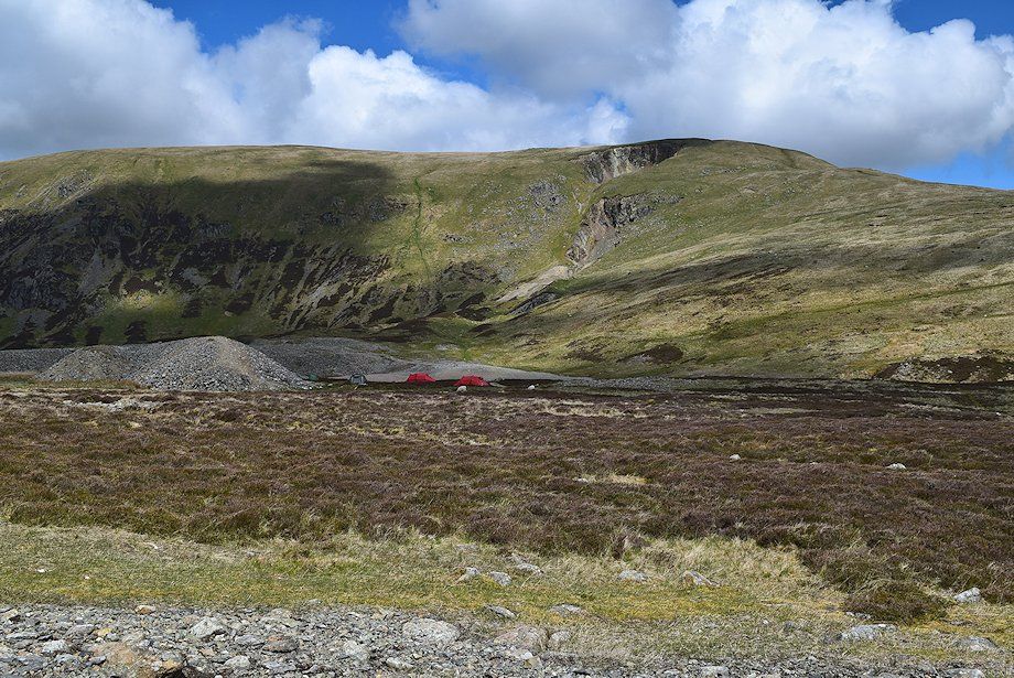 |
| Looking over towards the Green Side ridge, the location of the earliest workings of the mine. The craters on the hillside are the result of a huge collapse in 1862 of an estimated 120,000 tons of vein material into the stopes of the old workings. It was known as the 'The Big Crush' and it was fortunate that there were no miners in the workings at the time |
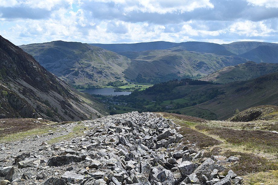 |
| Looking back to Glenridding and Ullswater |
 |
| Originally, when the flue was built in 1841 it was less than a quarter of a mile long. In 1855 it was extended up to and slightly beyond the summit of Stang. This longer flue not only carried the noxious fumes from the smelter further away from the valley, its snaking course and greater surface area afforded every opportunity for lead and silver particulates (which were suspended in the vapour) to condense. The flue was provided with manholes at regular intervals and was swept periodically, the soot and condensed lead and silver being carried back to the smelt mill for reprocessing |
 |
| Looking over to Sticks Pass |
 |
| High Spying How and Catstycam |
 |
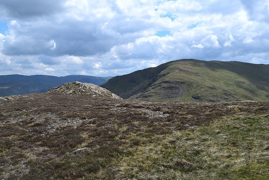
| At this point it's worthwhile turning back to the left, away from the flue, to visit the rocky top of Stang End which is a fine viewpoint |
 |
| Approaching the top of Stang End |
 |
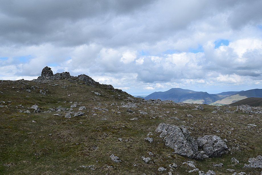
| The cairn on Stang End looking towards Birkhouse Moor |
 |
| Glenridding from Stang End |
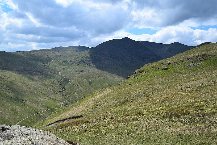 |
| Catstycam and Helvellyn from Stang End |
 |
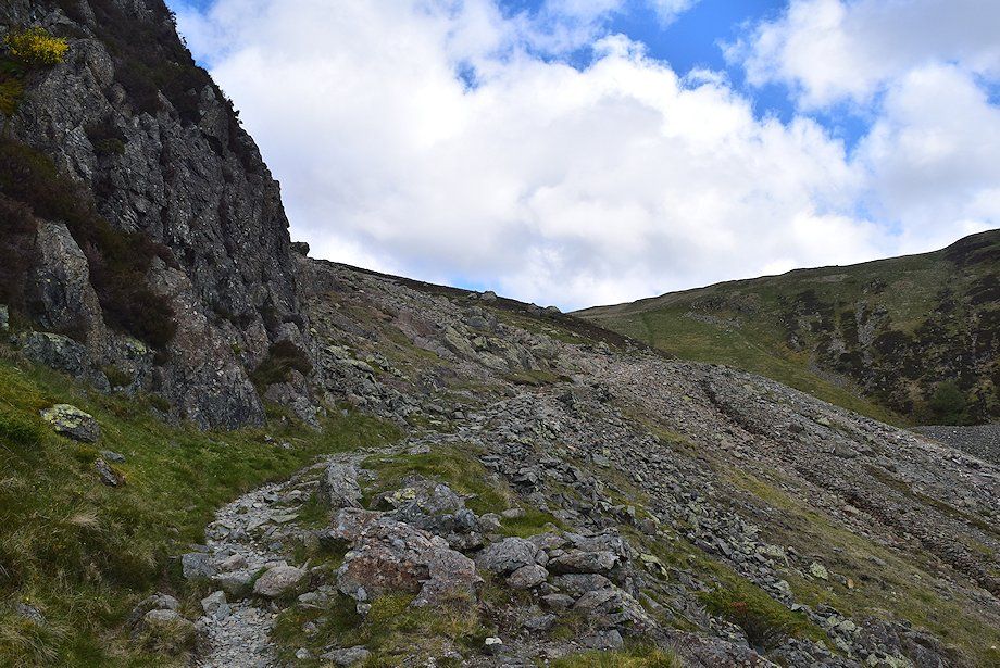
| Rejoining the course of the flue as it cuts through a low craggy outcrop |
 |
| Looking back to Sheffield Pike |
 |
| As mentioned, the construction of the flue involved it being excavated into the underlying bedrock, this acted as a giant crosscut for the mine prospectors who were looking for any possible southern extension of the Green Side vein |
 |
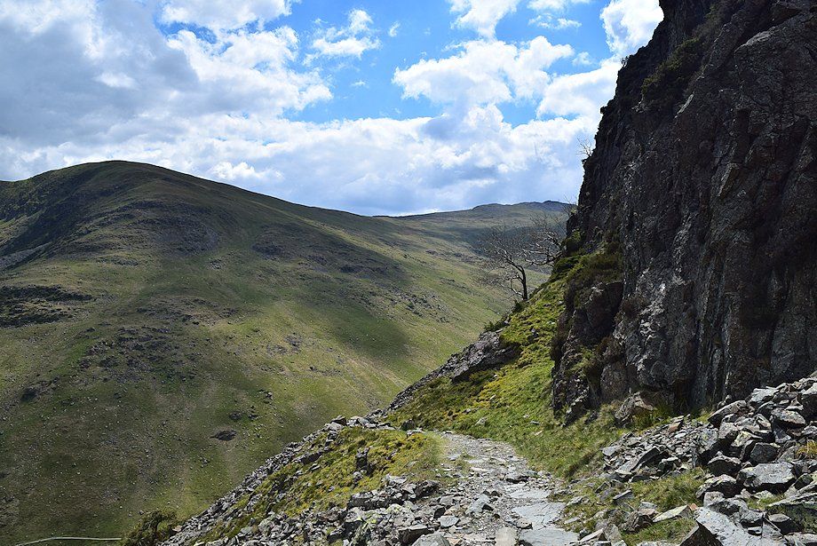
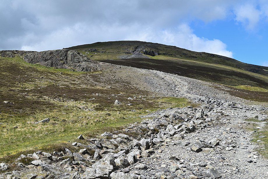
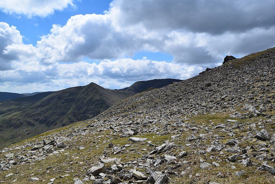
| On reaching the top of the low crag the summit of Raise comes into view |
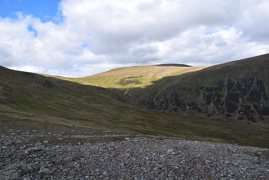 |
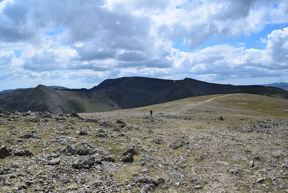
| Looking over to Sticks Pass and Stybarrow Dodd |
 |
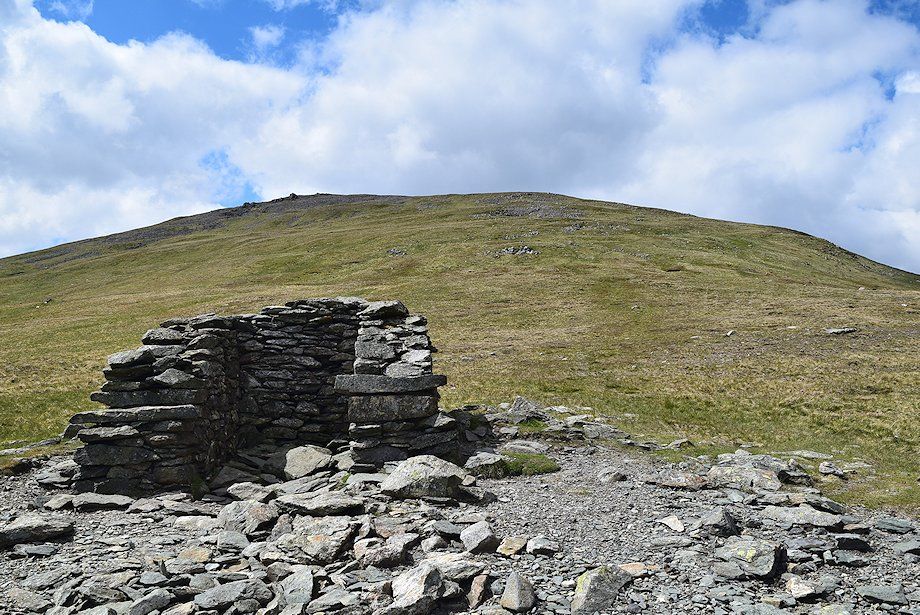
| Approaching the ruined stack at the end of the flue |
 |
| The summit of Stang lies a short distance to the left of the flue and provides another good viewpoint |
 |
| Approaching the summit of Stang |
 |
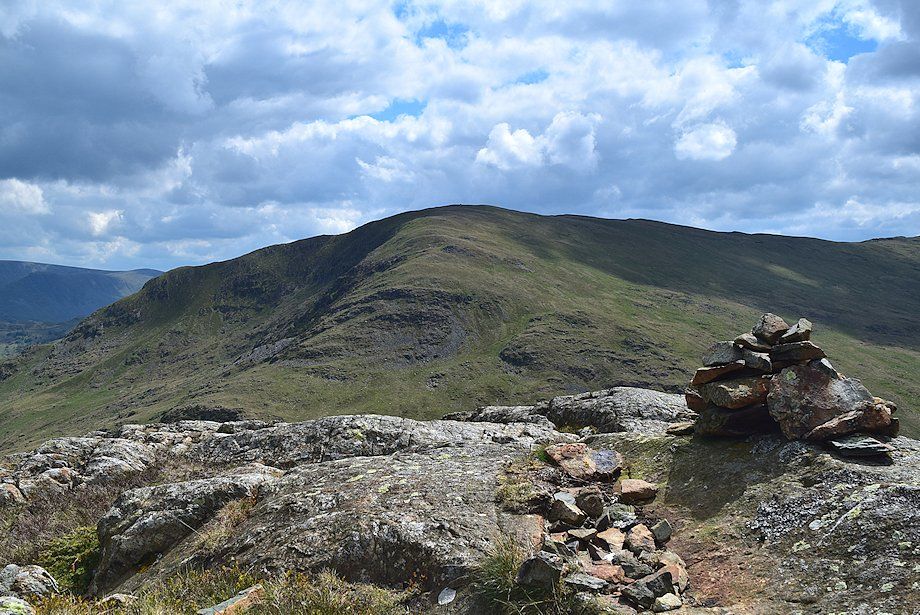
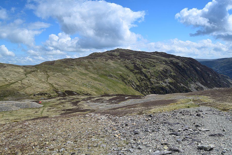
| Sheffield Pike from the summit of Stang |
 |
| Glenridding from the summit of Stang |
 |
| St. Sunday Crag appears over the Birkhouse Moor ~ High Spying How col |
 |
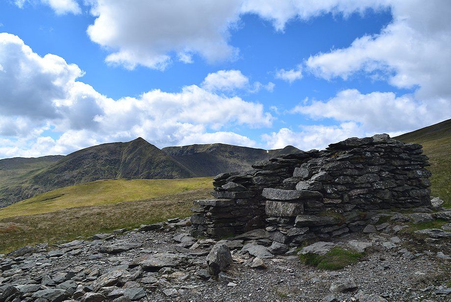
| Catstycam and Helvellyn from the summit of Stang |
 |
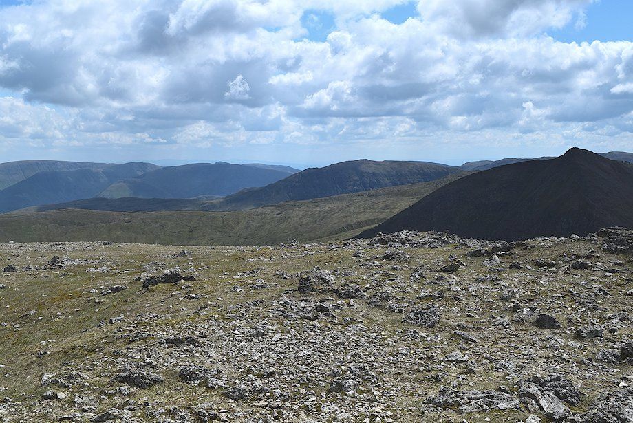
| Stybarrow Dodd from the summit of Stang |
 |
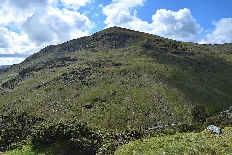
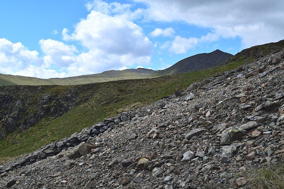
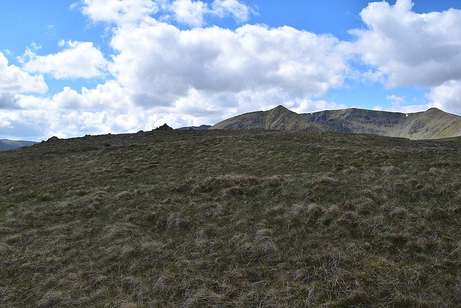
| Raise from the summit of Stang |
 |
| The ruined chimney stack at the end of the flue |
 |
| Catstycam and Helvellyn from the ruined stack |
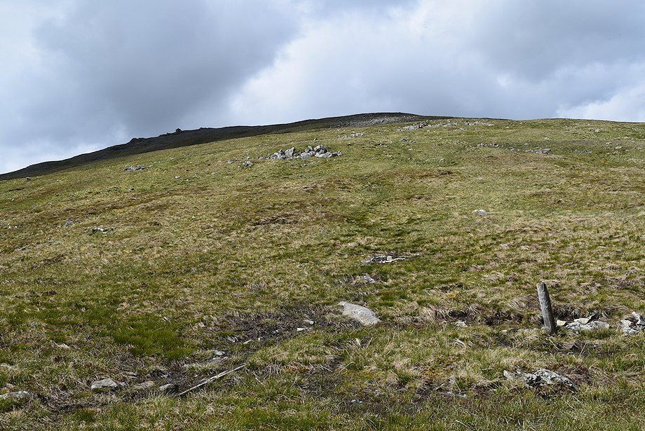 |
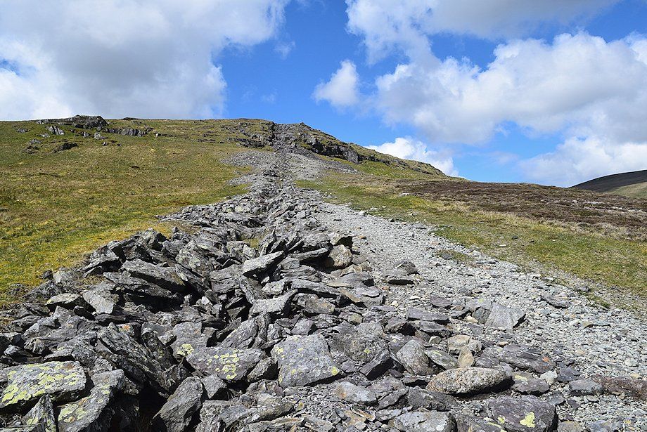
| A faint path leads up the broad east ridge towards the prominent rock tor on the left skyline |
 |
| Looking back from the start of the climb of the east ridge |
 |
| Looking over towards Catstycam |
 |
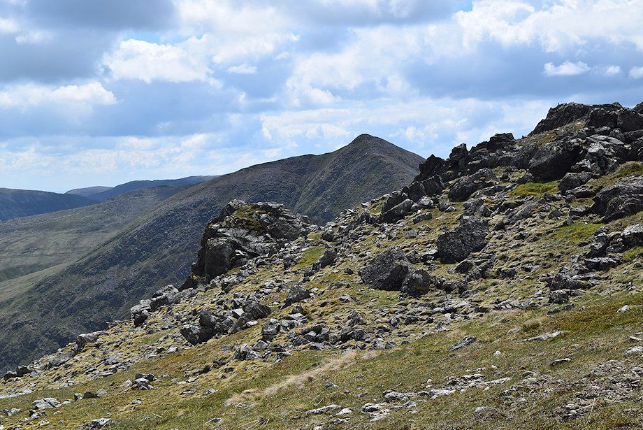
| Halfway point on the east ridge |
 |
| Looking back to Stang and the ruined chimney stack |
 |
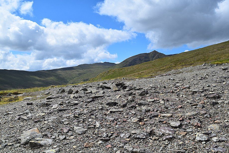
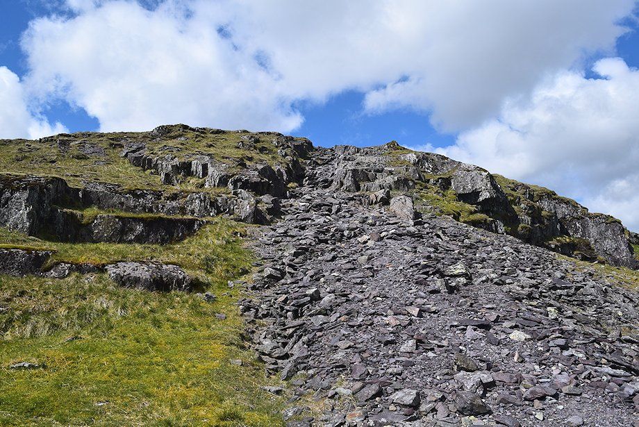
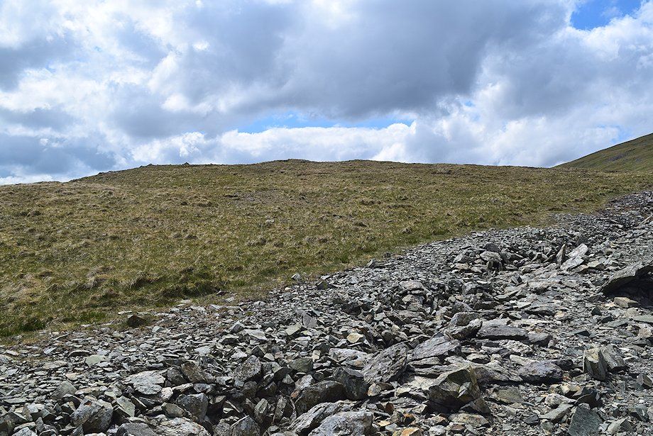
| Keep well to right of the rock tor to avoid the scree slope below it |
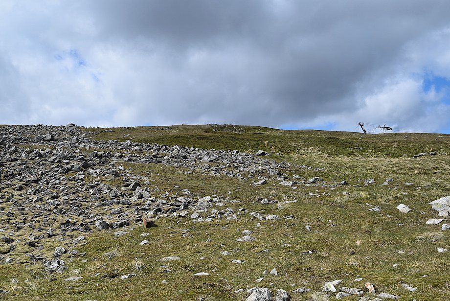 |
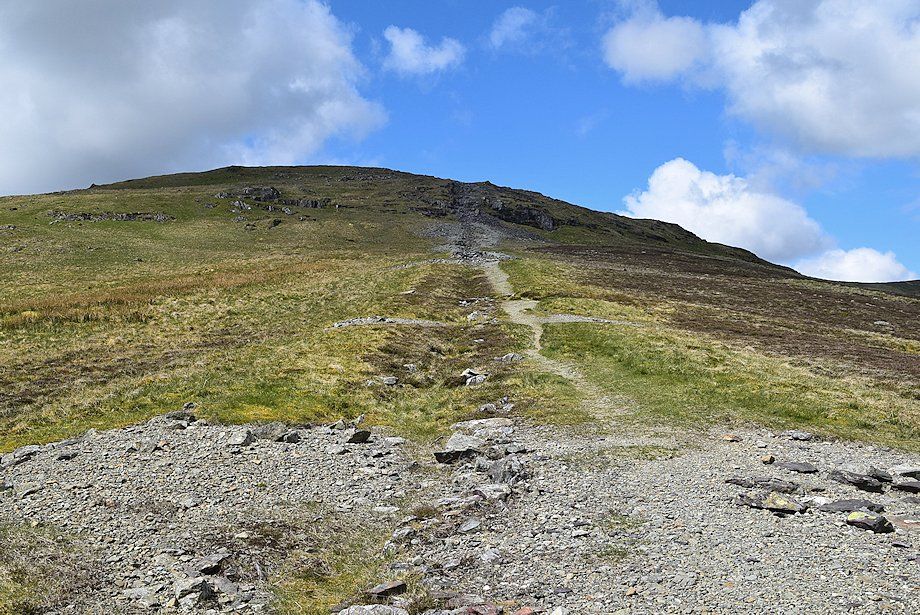
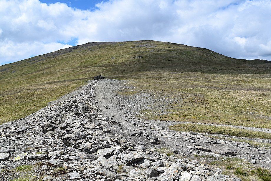
| The top of the ski tow comes into view |
 |
| Catstycam across the rock tor |
 |
| The ski tow below the summit of Raise |
 |
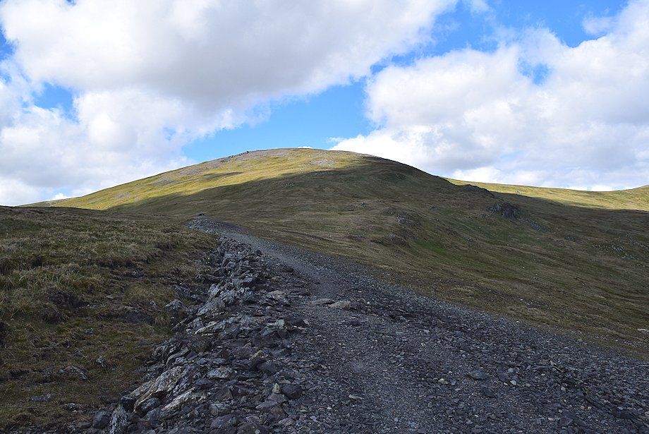
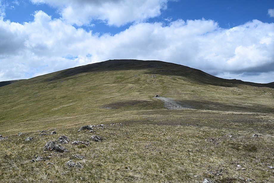
| Approaching the summit of Raise |
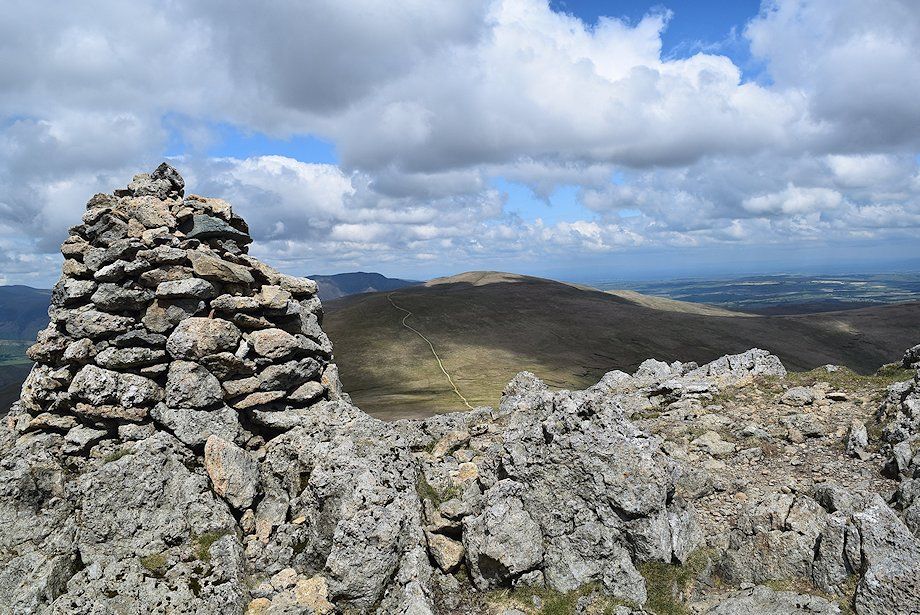 |
| The summit cairn on Raise |
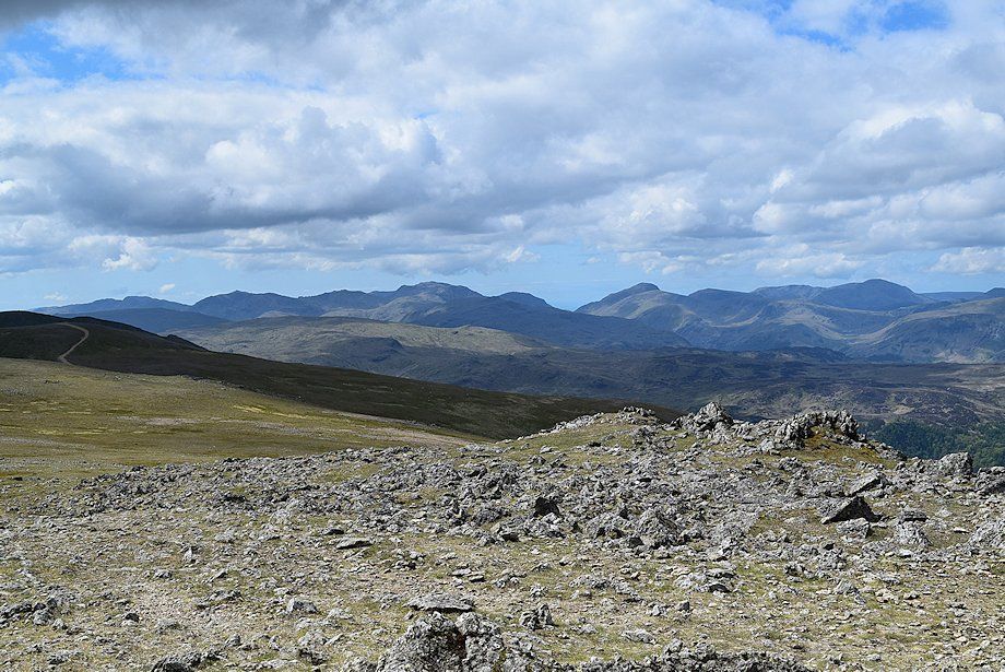 |
| Looking southwest from the summit of Raise. Crinkle Crags, Bowfell, Esk Pike, Scafell Pike, Lingmell, Great Gable, Kirk Fell, Red Pike (Wasdale), Scoat Fell, Pillar, and High Crag form the horizon |
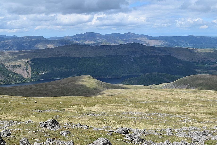 |
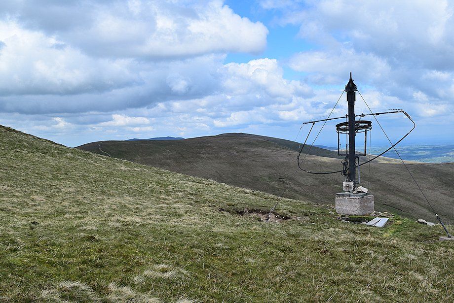
| Thirlmere can be brought into view by walking a few yards to the west cairn |
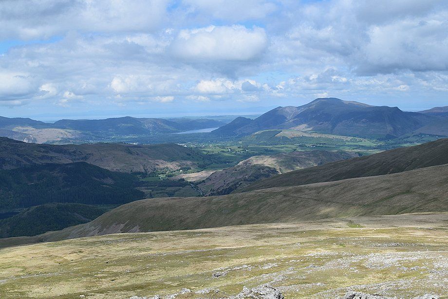 |
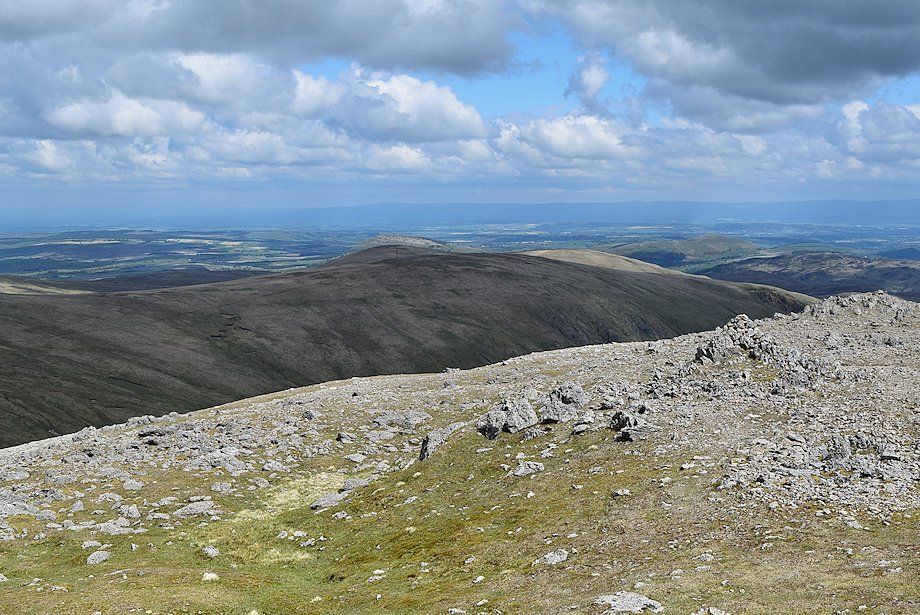
| Skiddaw and Bassenthwaite Lake with the Whinlatter fells to the left |
 |
| Looking towards Sticks Pass and Stybarrow Dodd. Lonscale Fell, Great Calva and Blencathra form the left skyline |
 |
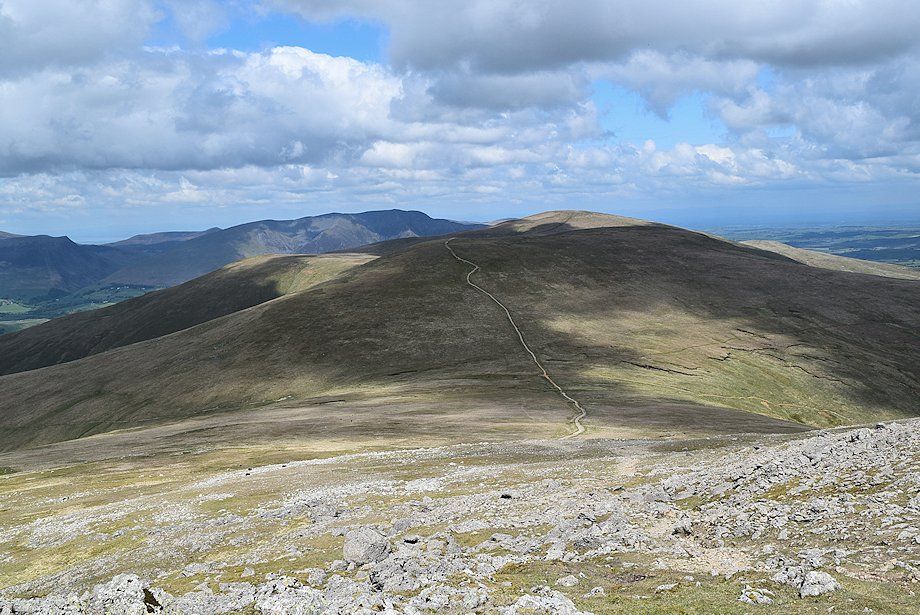
| Hart Side, Birkett Fell, Great Mell Fell and Little Mell Fell over Green Side |
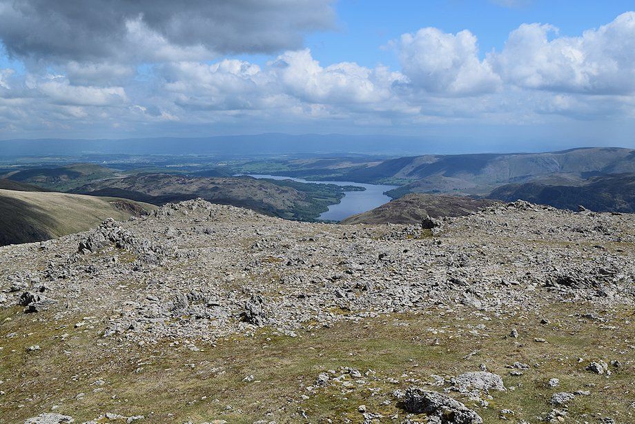 |
| Looking east-northeast to Ullswater |
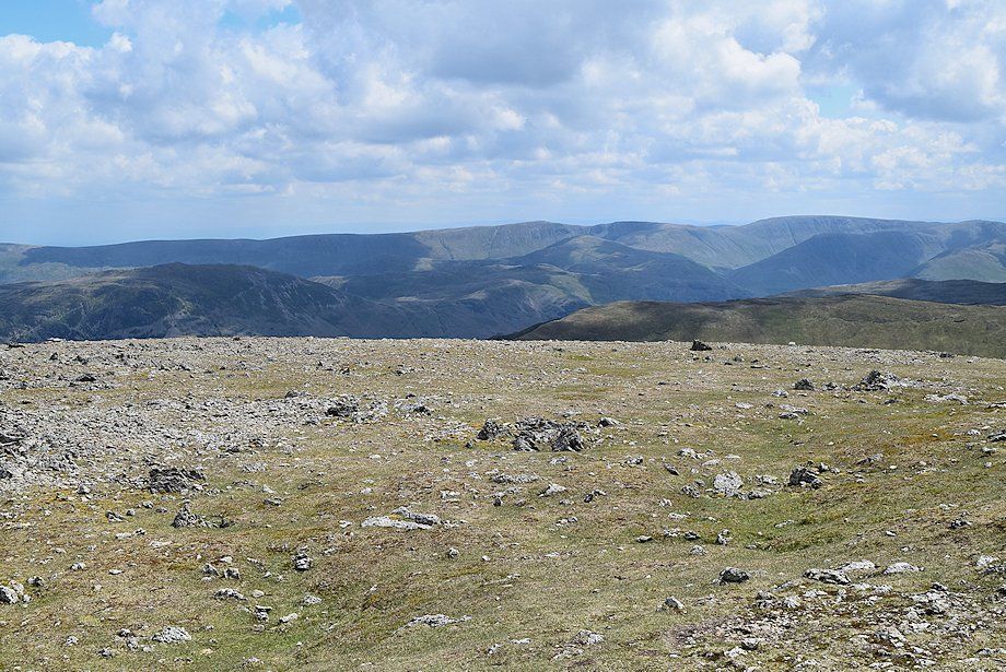 |
| On the skyline, The Far Eastern Fells of Wether Hill, High Raise, Rampsgill Head, High Street and Thornthwaite Crag |
 |
| St. Sunday Crag in the centre with Yoke, Ill Bell, and Caudale Moor to the left. Dove Crag, Hart Crag and Fairfield beyond Catstycam on the right |
 |
| The connecting ridge to White Side and Helvellyn |
