 |
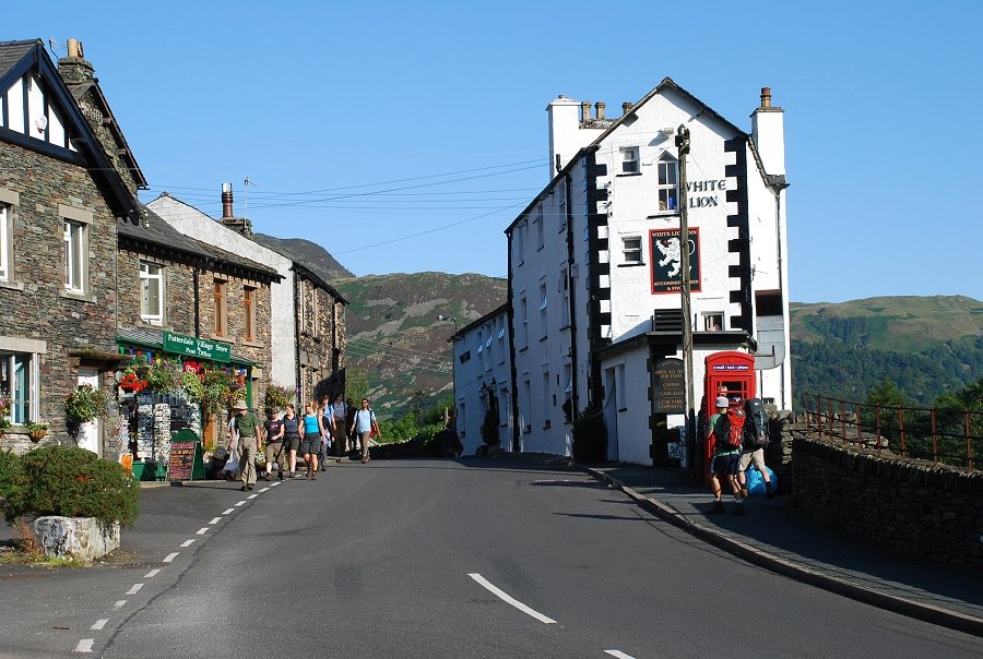
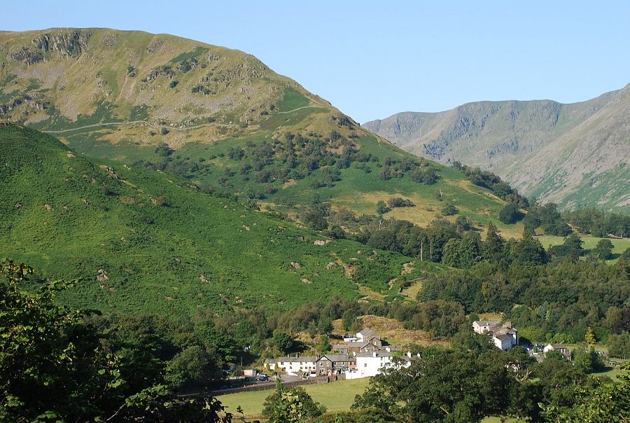
| Patterdale village |
 |
| A little over a hundred yards south of the White Lion Hotel a minor road leads to Rooking and the start of the ascent |
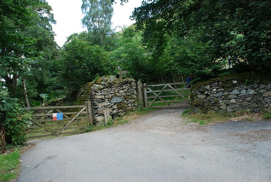 |
| At a bend in the road a gate gives access to the open fellside |
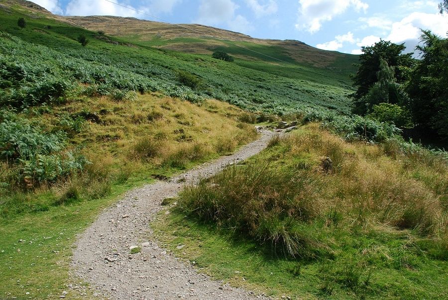 |
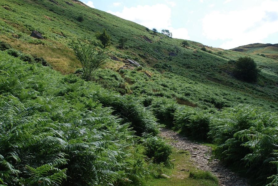
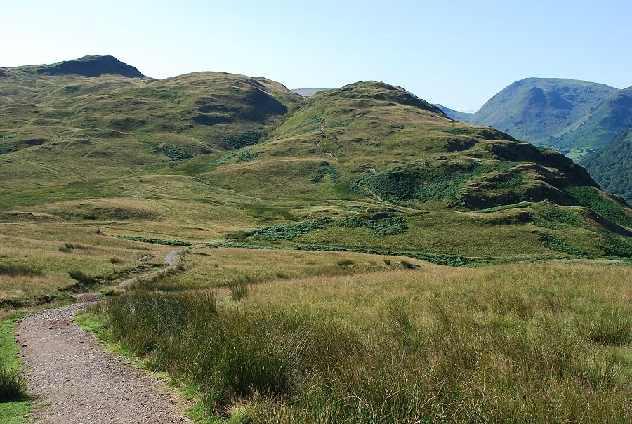
| On the path to Boredale Hause |
 |
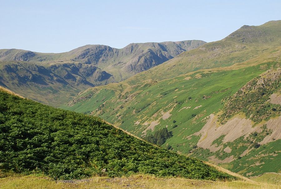
| Looking back to Glenridding and Sheffield Pike from the start of the climb |
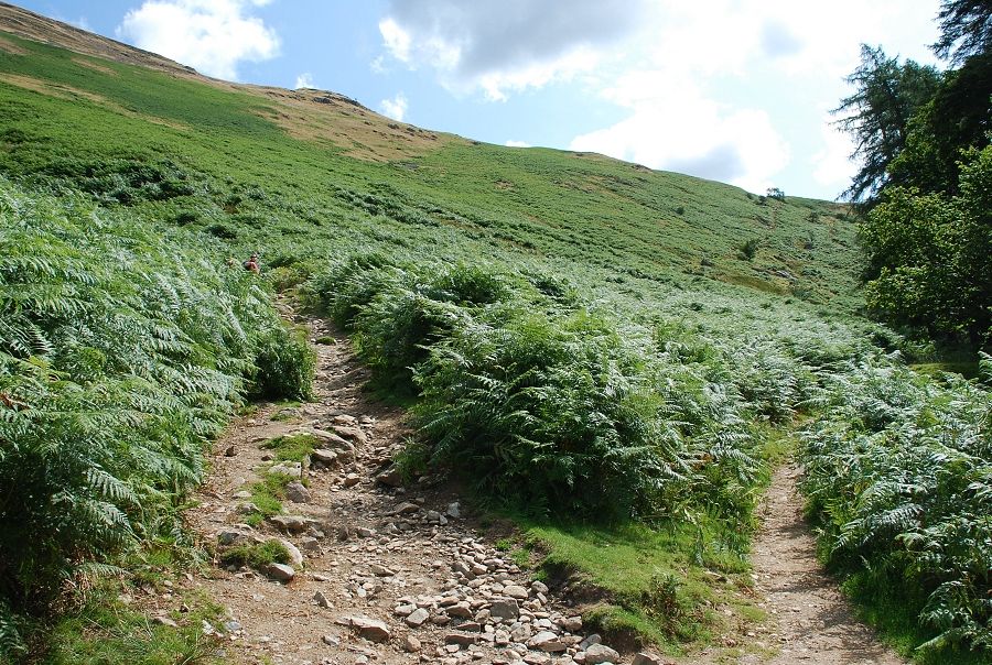 |
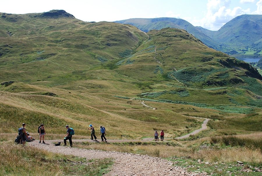
| There is a choice of paths for the climb to Boredale Hause. Both paths converge just below the top of the pass |
 |
| Looking across Patterdale to Thornhow End on Birks |
 |
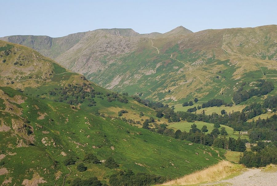
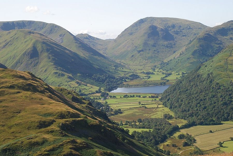
| Midway along the path to Boredale Hause, which is the low point on the right |
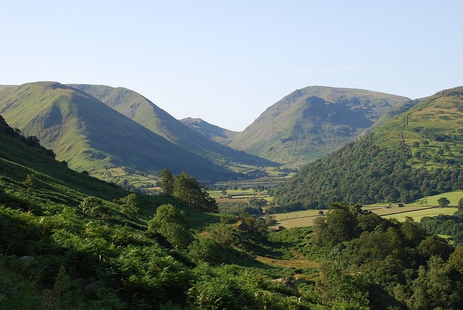 |
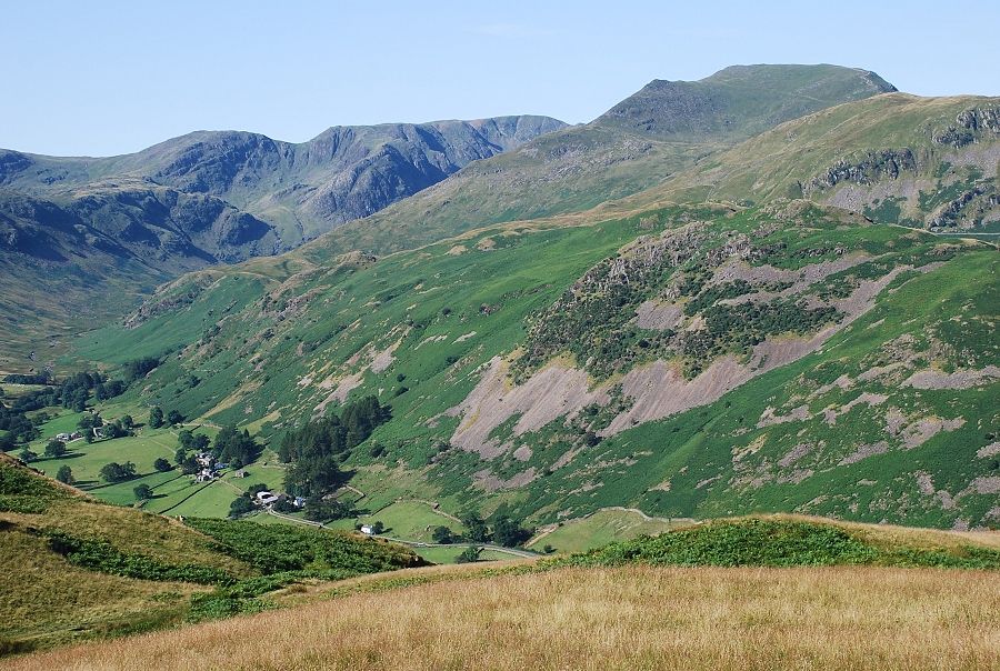
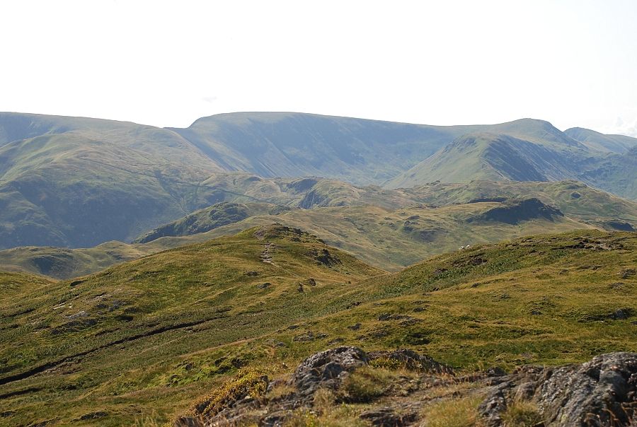
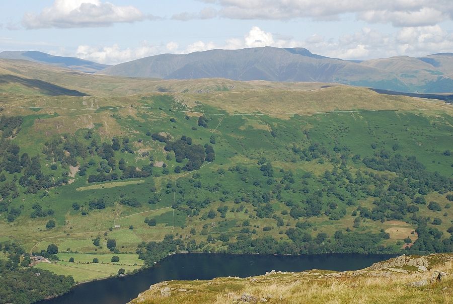
| Kirkstone Pass flanked by Caudale Moor and Red Screes |
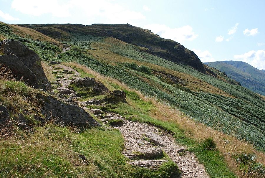 |
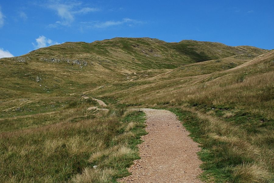
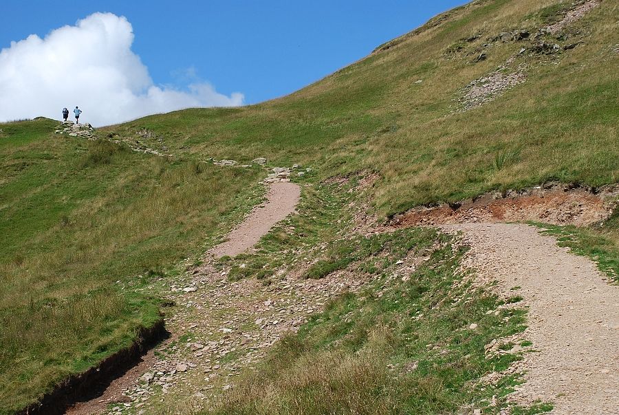
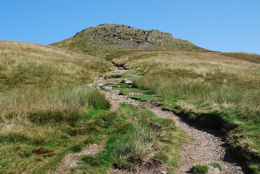
| Near the top of the path to Boredale Hause |
 |
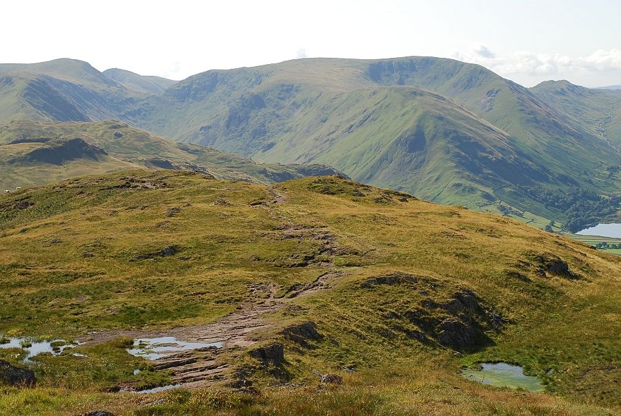
| Looking back to Glenridding and Ullswater from near the top of the path |
 |
| Boredale Hause |
 |
| Hart Crag and Fairfield from Boredale Hause |
 |
| Helvellyn and Catstycam from Boredale Hause |
 |
| The south ridge of Place Fell from Boredale Hause |
 |
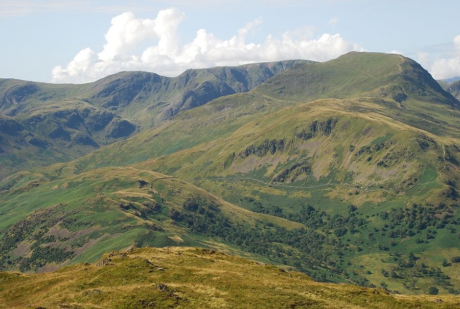
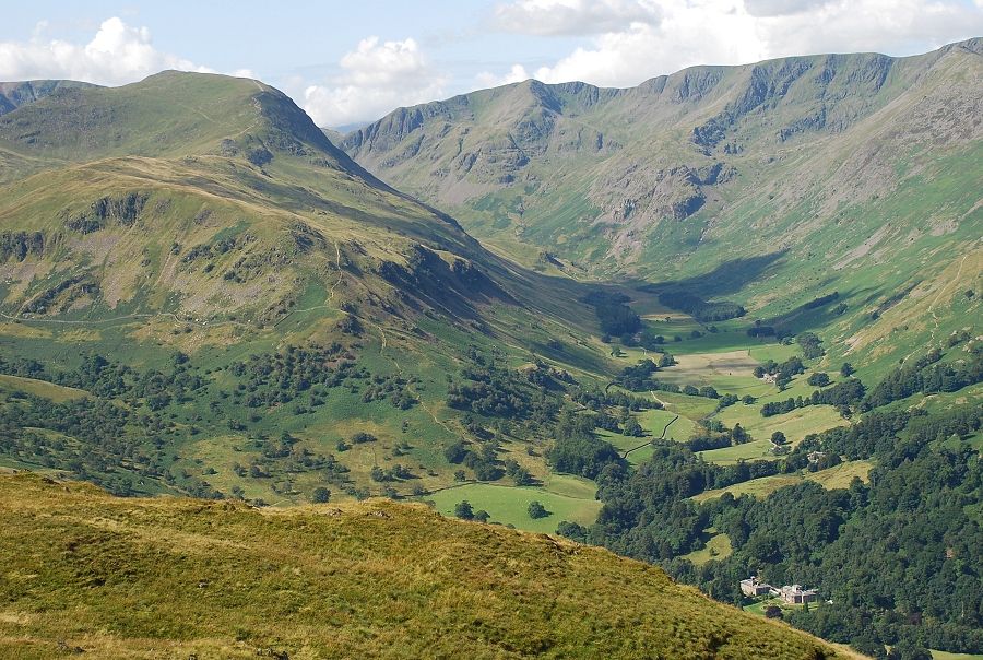
| Hart Crag, Fairfield and St. Sunday Crag from the foot of the east ridge |
 |
| The path has been re-aligned and improved in recent years to combat erosion |
 |
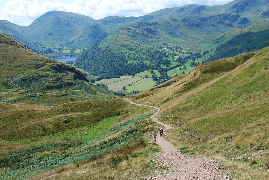
| Looking back to Boredale Hause from the start of the climb |
 |
| Initially the path heads towards Hawk Crag on the south east slopes before making a sweeping turn back towards the south ridge |
 |
| Looking down to Boredale Hause from the south east slope |
 |
| The path turning back towards the south ridge |
 |
| From the same point looking back along the new path |
 |
| Some sections of the path have been stone pitched on the steeper climb up the south ridge |
 |
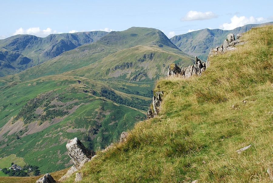
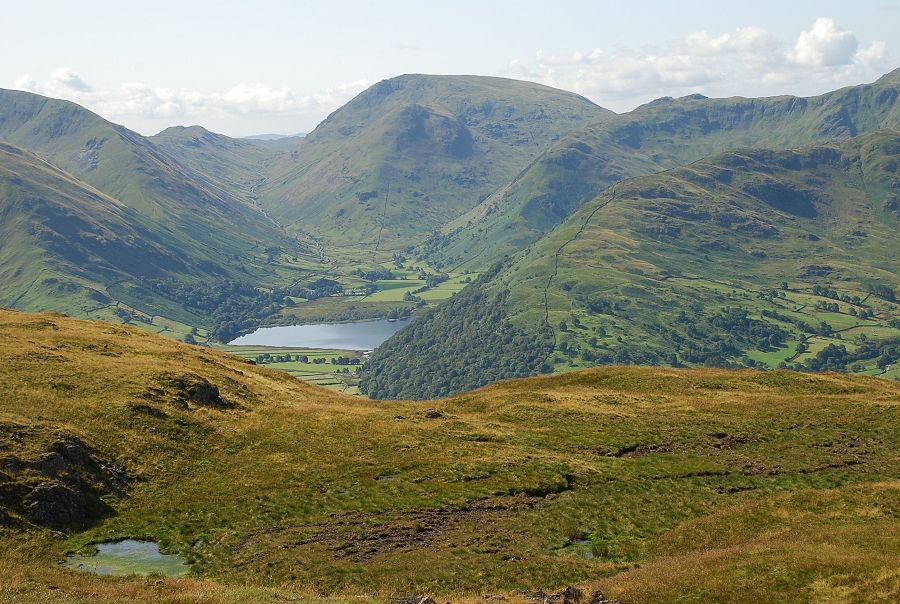
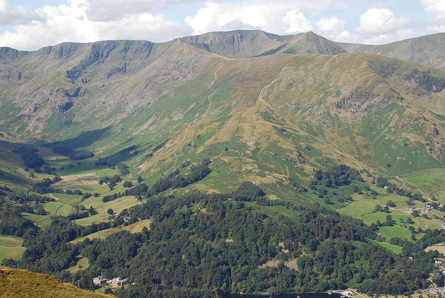
| Brothers Water and Red Screes from the south ridge |
 |
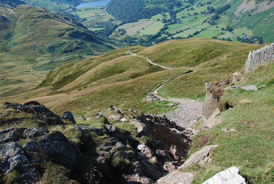
| Glenridding from the south ridge |
 |
| Approaching the summit ridge where the path enters a steep gully amid a belt of low crags these can be avoided by a faint path leading to the left below them |
 |
| Looking across to St. Sunday Crag from the gully |
 |
| Looking down from the top of the gully |
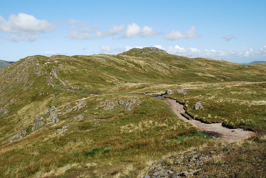 |
| Looking along the summit ridge to the trig point from the top of the gully |
 |
| From the same point, the foot of Ullswater above the summit of Hallin Fell |
 |
| Brothers Water and Kirkstone Pass |
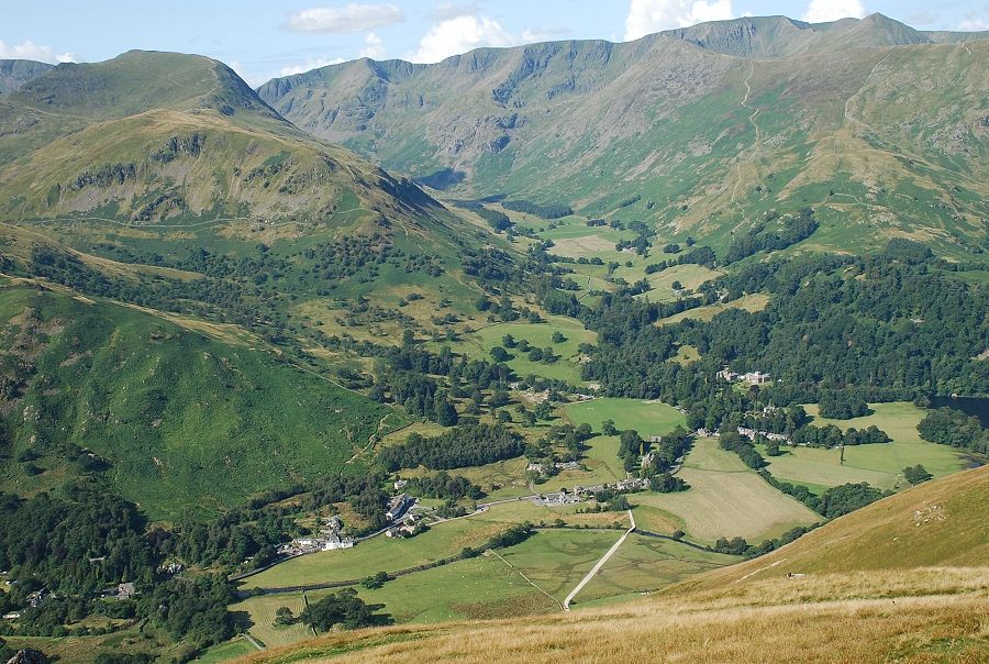 |
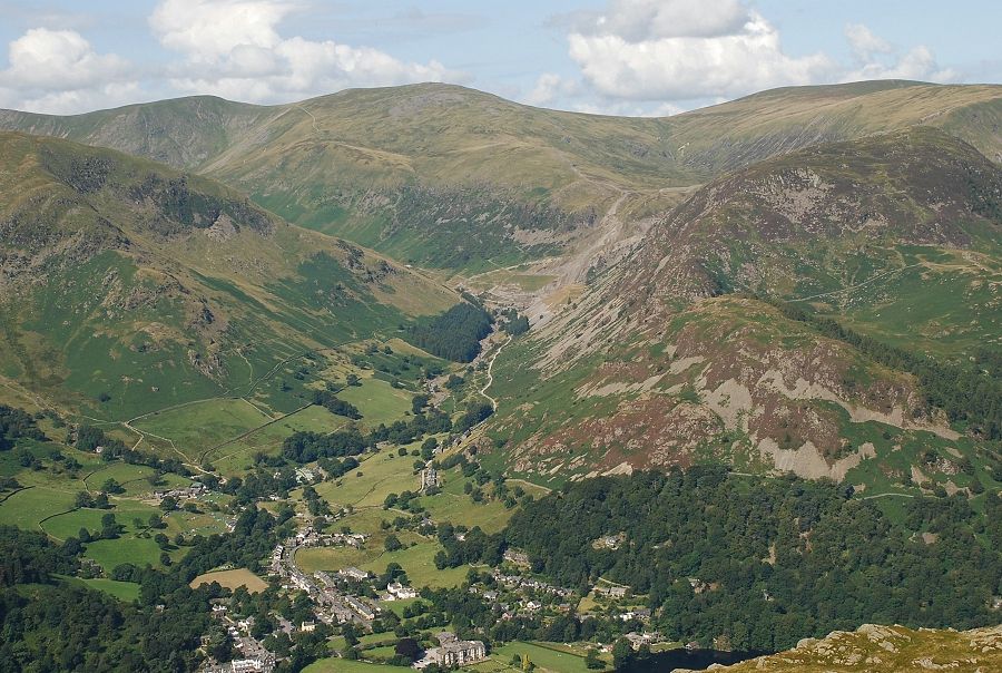
| Patterdale and Grisedale |
 |
| Approaching the summit of Place Fell |
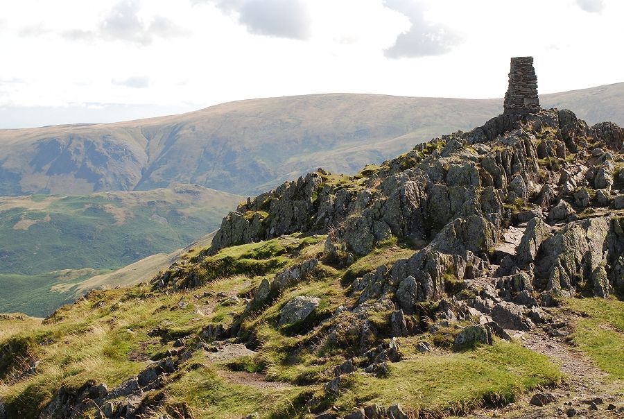 |
| The summit trig point |
 |
| The Nab and High Raise from the summit |
 |
| Rest Dodd, High Street, Gray Crag, Thornthwaite Crag and Ill Bell |
 |
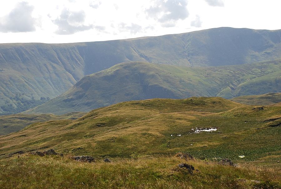
| Caudale Moor |
 |
| Brothers Water, Kirkstone Pass and Red Screes |
 |
| Hart Crag, Fairfield and St. Sunday Crag |
 |
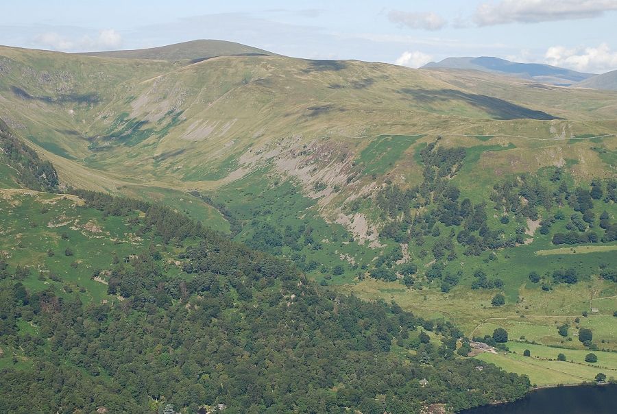
| St. Sunday Crag, Dollywaggon Pike and Nethermost Pike above Grisedale |
 |
| Helvellyn and Catstycam above Birkhouse Moor |
 |
| White Side, Raise and Stybarrow Dodd on the horizon |
 |
| Great Dodd over Hart Side with Skiddaw on the right |
 |
| Blencathra over Watermillock Common |
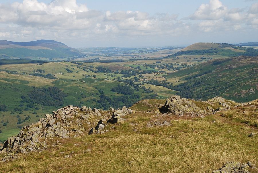 |
| Dockray Park with Carrock Fell on the left and Great Mell Fell on the right |
 |
| Ullswater and Hallin Fell with Arthur's Pike on the right |
