
| Pike o' Stickle - Route One |
| Start - ODG Hotel NY 286 060 | Distance - 3 miles | Ascent - 2,080 feet | Time - 2 hours : 15 minutes |
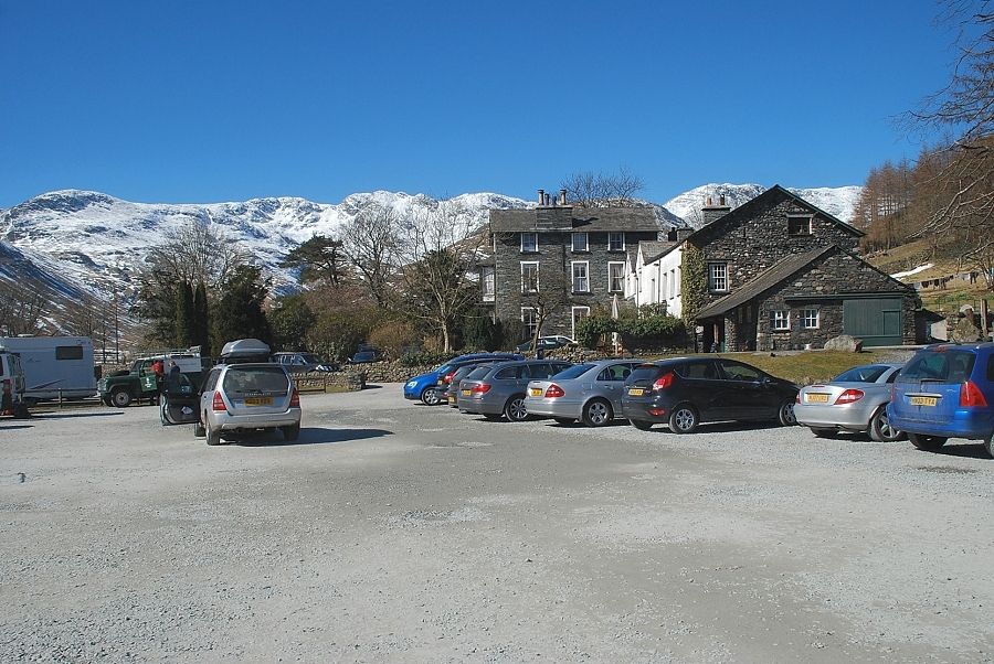 |
| The National Trust car park at the Old Dungeon Ghyll Hotel at the start of the walk |
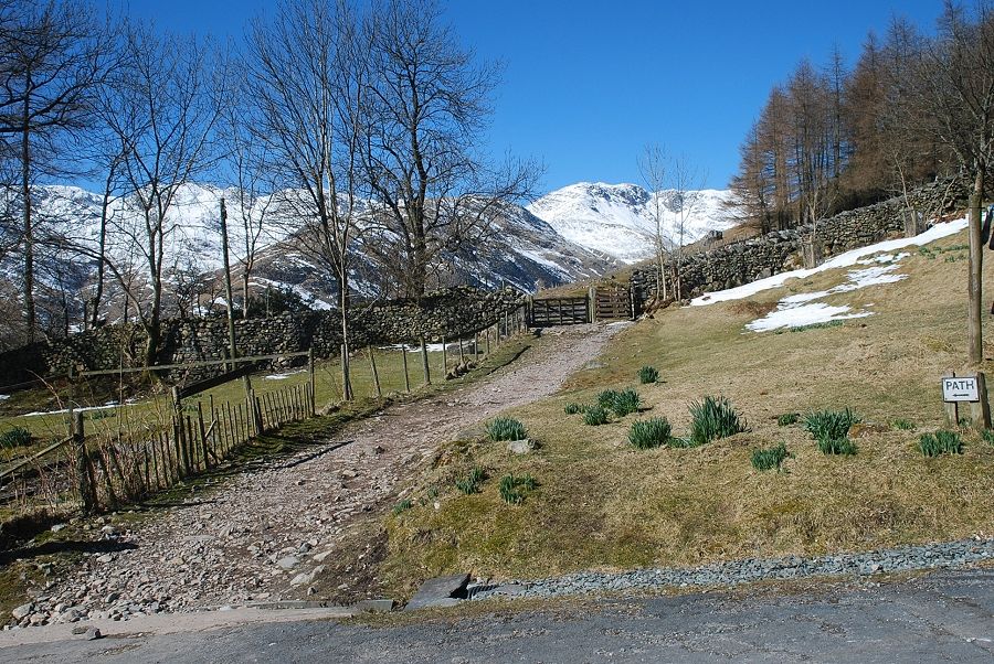 |
| From the car park a path passes behind the hotel to a hand-gate |
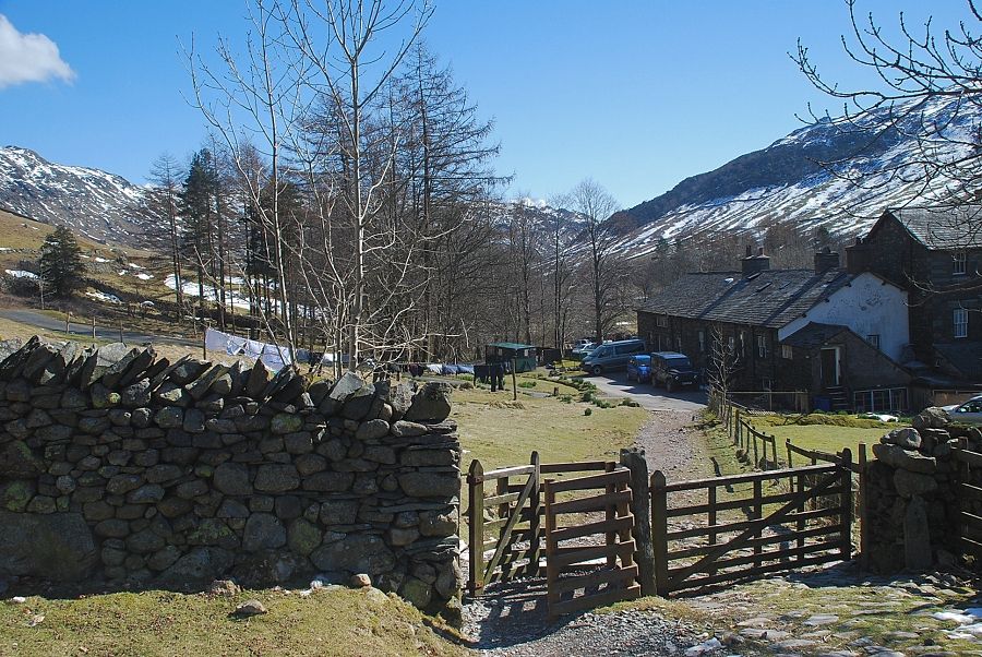 |
| Looking back to the Old Dungeon Ghyll Hotel from the hand-gate |
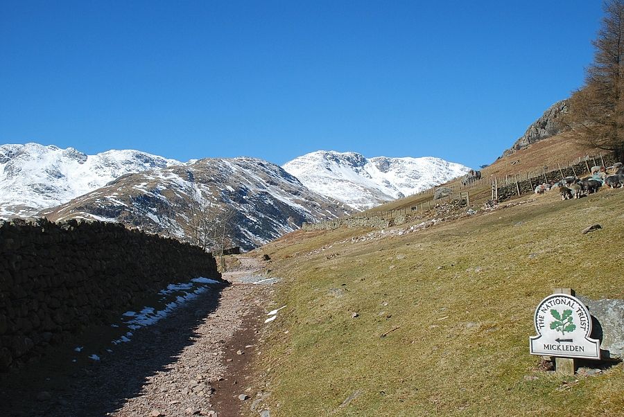 |
| Crinkle Crags, The Band and Bowfell from the track to Mickleden |
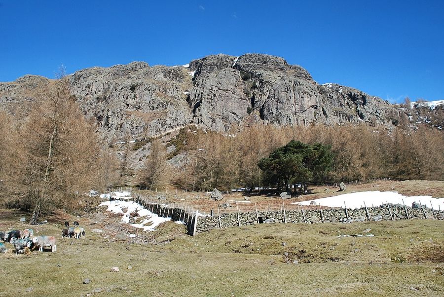 |
| Looking over to Raven Crag from the track to Mickleden |
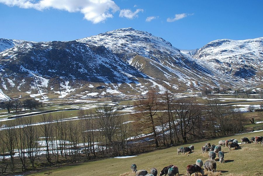 |
| Pike o' Blisco and Great Knott across the upper Great Langdale Valley |
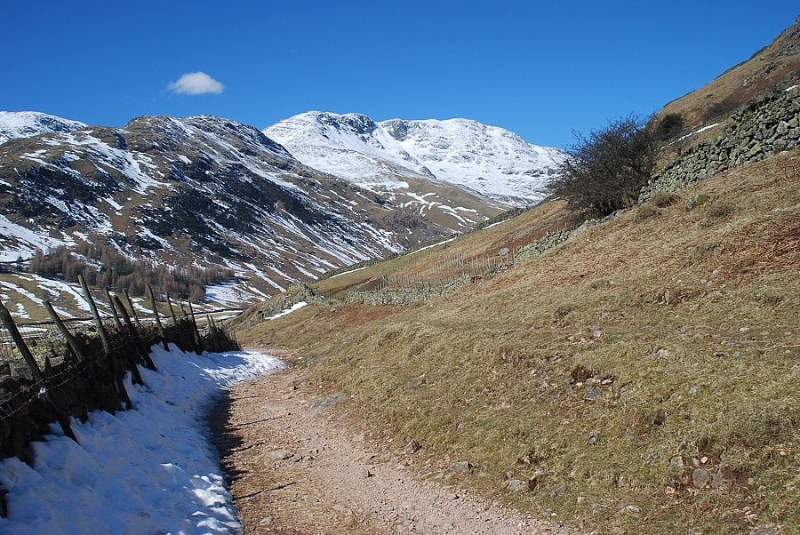 |
| The lane begins to descend alongside the Middle Fell Farm intakes towards Mickleden |
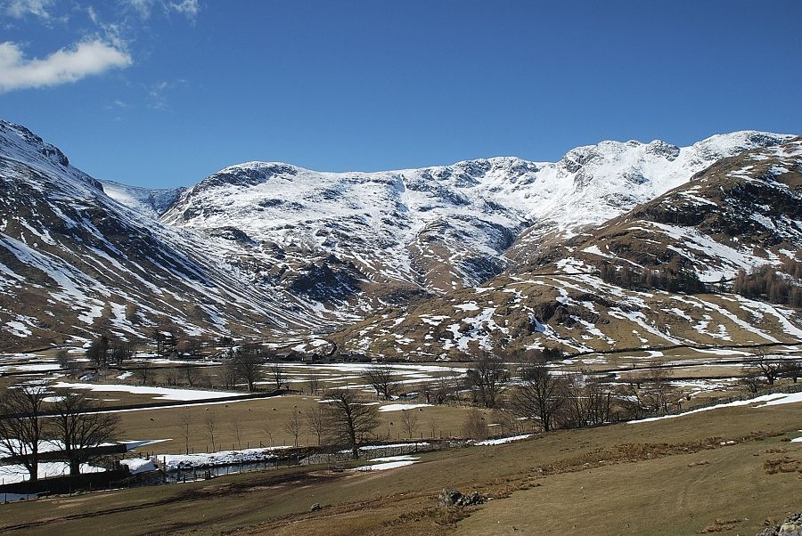 |
| Looking across to Stool End Farm at the foot of The Band |
 |
| Pike o' Blisco comes into view with Gimmer Crag on the right |
 |
| Rossett Pike comes into view as the track approaches another gate and a sheep handling pen |
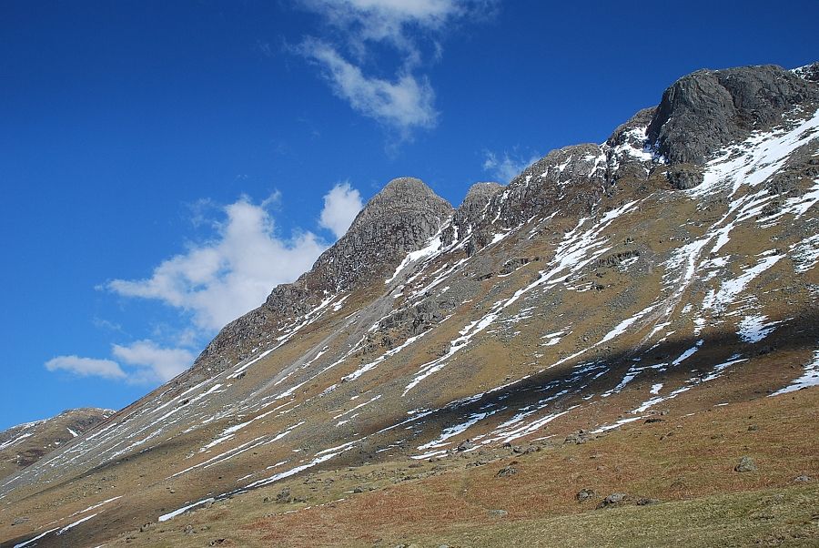 |
| Pike o' Stickle and Gimmer Crag. The route of ascent is now in view on the left, the ridge leading up to Martcrag Moor |
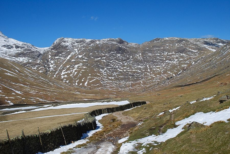 |
| Beyond the sheep pen the view opens out to the head of Mickleden |
 |
| Bowfell and Rossett Pike |
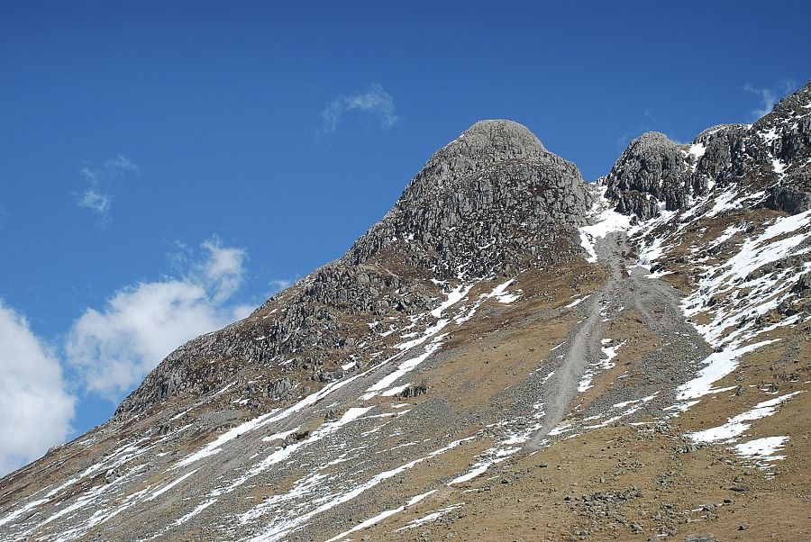 |
| Looking up the screes of Pike o' Stickle's south gully |
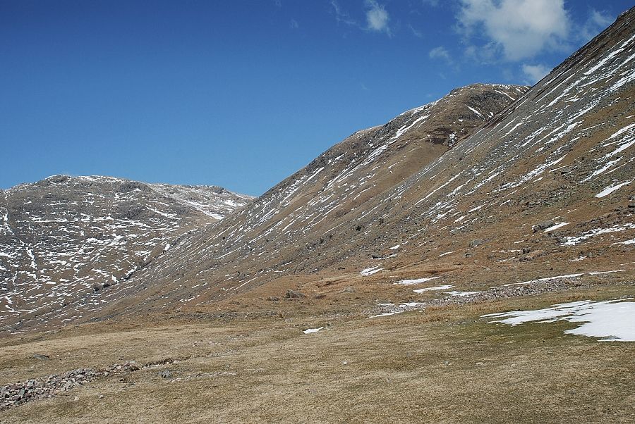 |
| Stake Pass flanked by Black Crag and Martcrag Moor |
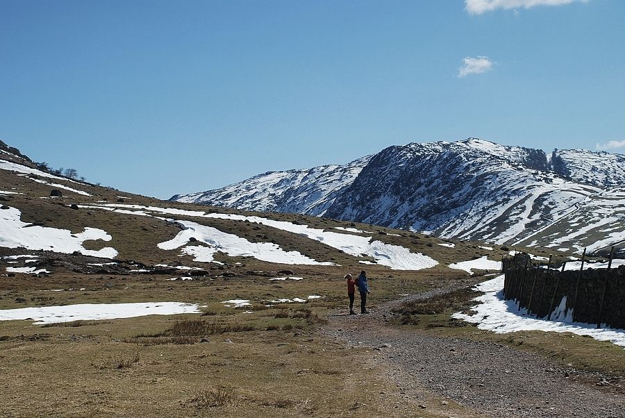 |
| Looking back to Lingmoor Fell |
 |
| The head of Mickleden dominated by Rossett Pike and Black Crag |
 |
| The upper ravine of Troughton Beck is now visible with the path used for this ascent prominent on the ridge to the left of the beck |
 |
|
The ascent begins from the simple stone flag bridge over Troughton Beck |
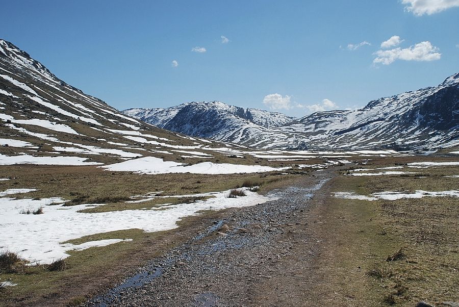 |
| Looking back along Mickleden from the bridge over Troughton Beck |
 |
| Initially there is only a faint trace of a path which skirts well to the left of a wide expanse of flood boulders below the ravine |
 |
| Pike o' Stickle from the start of the ascent |
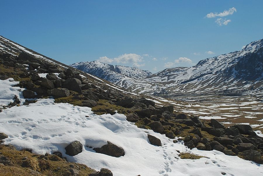 |
| Looking over towards Lingmoor Fell from the start of the ascent |
 |
| Bowfell and Rossett Gill from the start of the ascent |
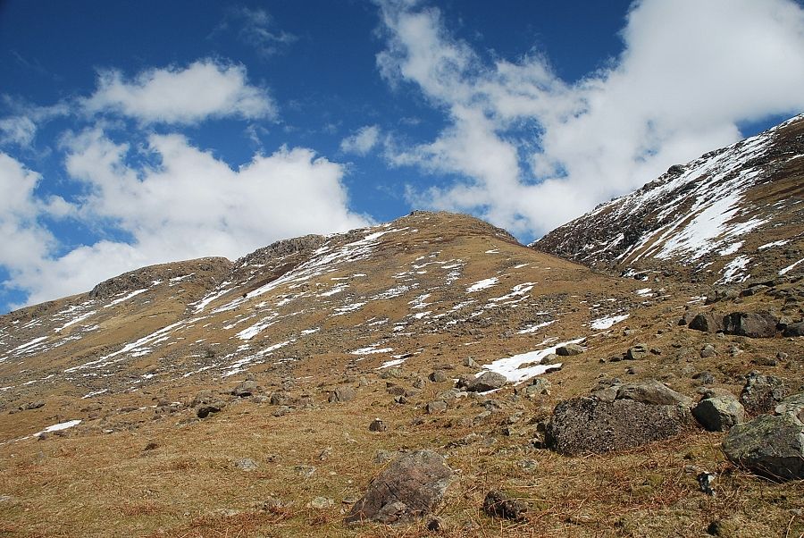 |
| The path turns back towards Troughton Beck and climbs to the base of well-defined ridge which leads up to the edge of Martcrag Moor |
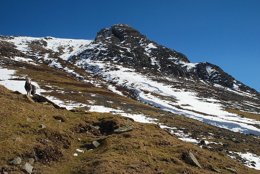 |
| Pike o' Stickle across Troughton Beck |
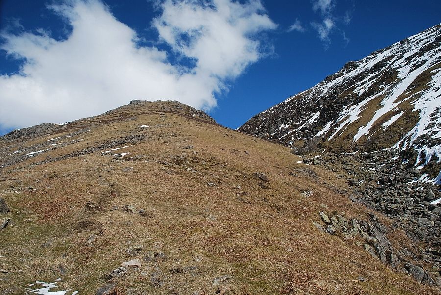 |
| The path becomes much clearer as it it climbs beside the ravine of Troughton Beck |
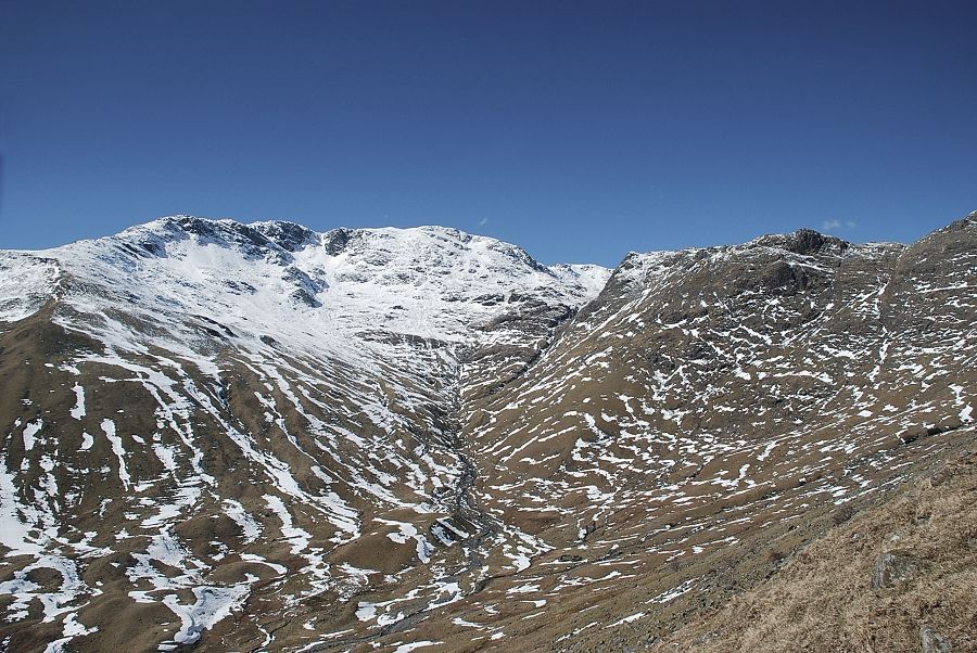 |
| Looking over to Bowfell and Rossett Pike from the path up to Martcrag Moor |
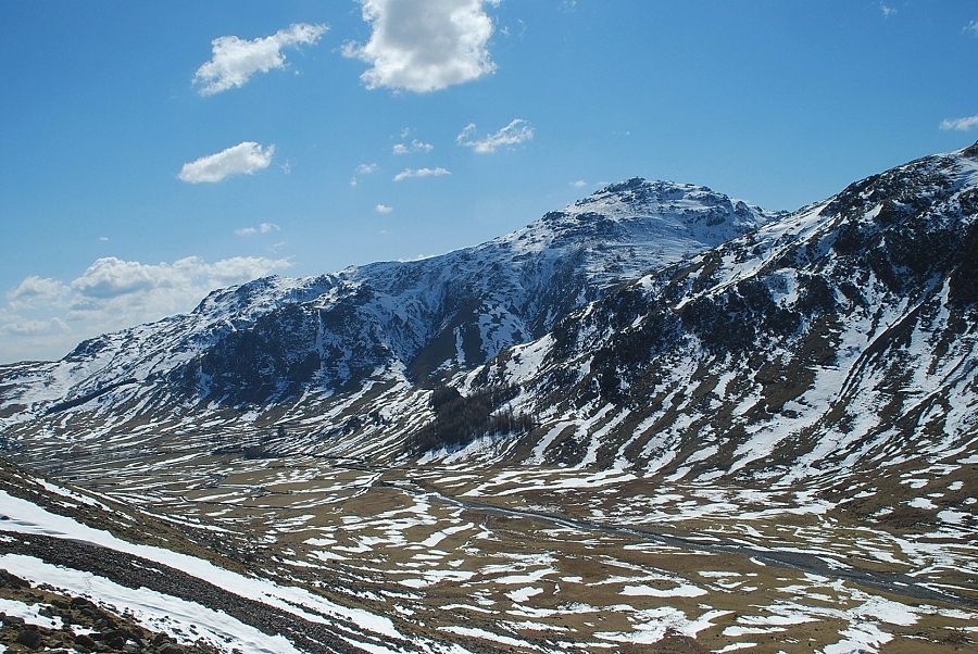 |
| Pike o' Blisco across Mickleden |
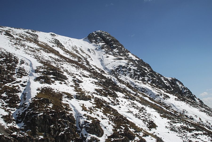 |
| The west face of Pike o' Stickle from the path to Martcrag Moor |
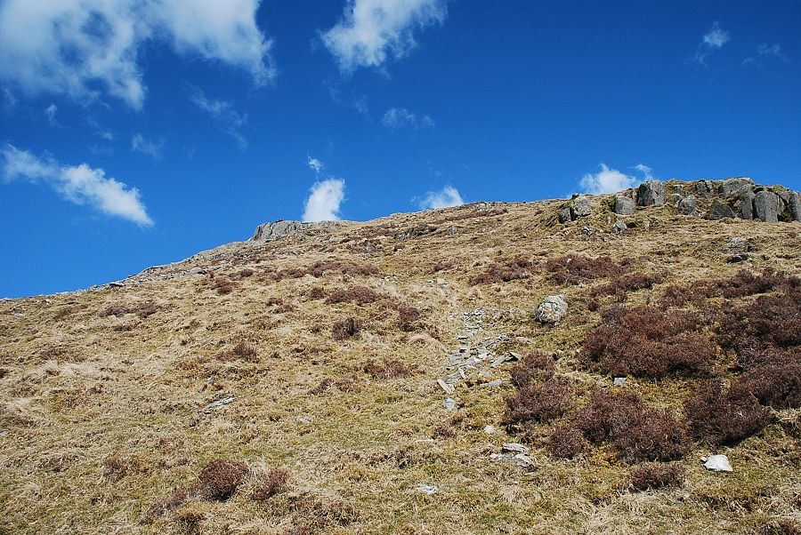 |
| Approaching the rock outcrops on the edge of Martcrag Moor |
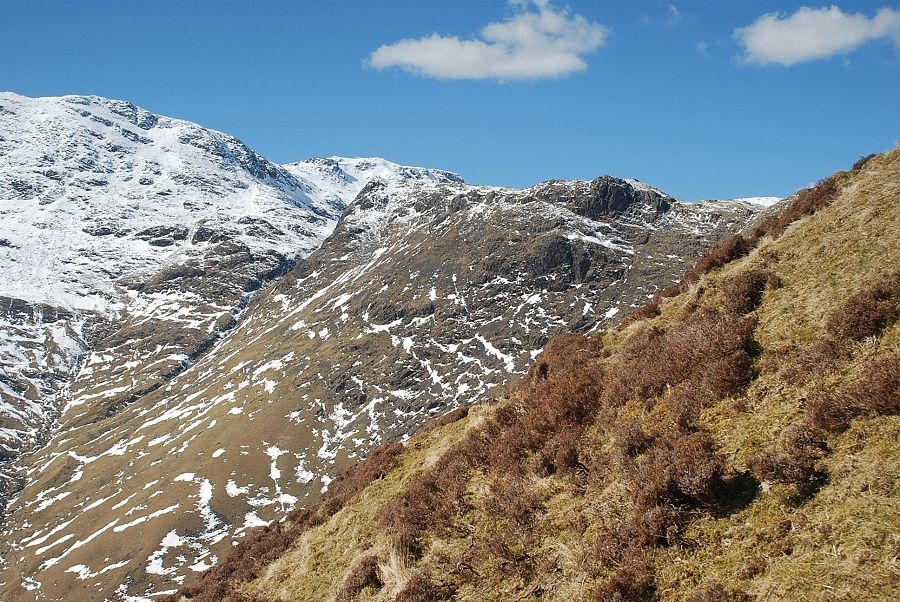 |
| Looking over to Rossett Pike |
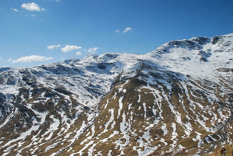 |
| Looking back, Crinkle Crags appear over the top of The Band |
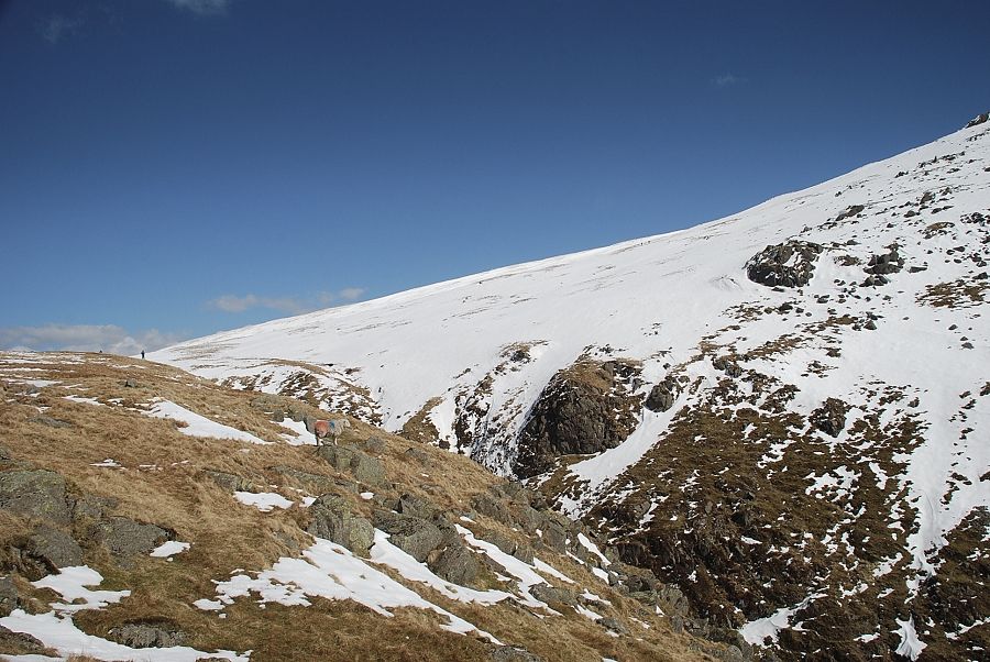 |
| On gaining the edge of Martcrag Moor the snow covered western slopes of Pike o' Stickle come into view across the upper Troughton Beck ravine |
 |
| Pike o' Stickle from the edge of Martcrag Moor |
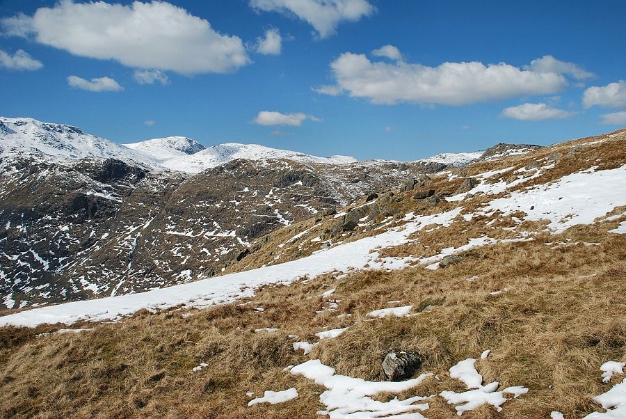 |
| Great End and Allan Crags appear over the tops of Rossett Crag and Black Crag |
 |
| Bowfell from the edge of Martcrag Moor |
 |
| Pike o Blisco across Mickleden from the edge of Martcrag Moor |
 |
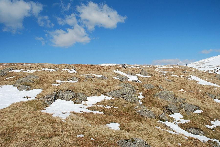
| Crinkle Crags from the edge of Martcrag Moor |
 |
| The path becomes very indistinct as it follows the course of Troughton Beck for 200 yards to an obvious point where it can easily be forded |
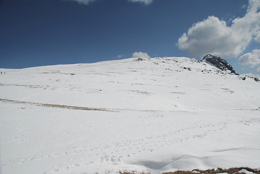 |
| Pike o' Stickle from the ford over Troughton Beck. The ascent continues half left to join the popular path from the Stake Pass which passes over the prominent rock outcrop in the centre of the photo |
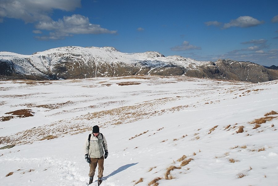 |
| Looking back to Glaramara |
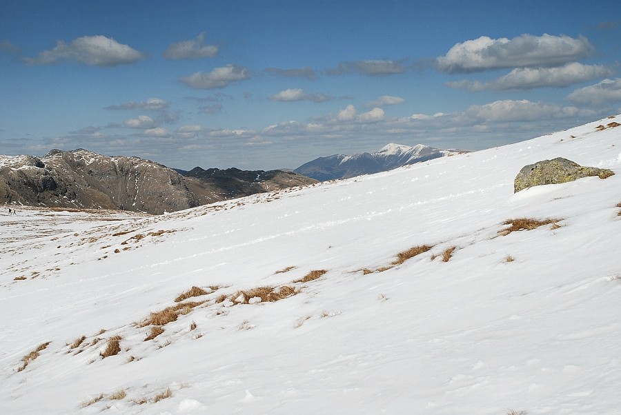 |
| Looking over to Skiddaw |
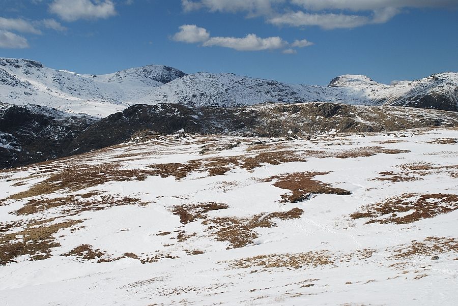 |
| Looking back over Martcrag Moor. Esk Pike,Great End, Allan Crags and Great Gable on the skyline |
 |
| Cold Pike flanked by Pike o' Blisco and Great Knott |
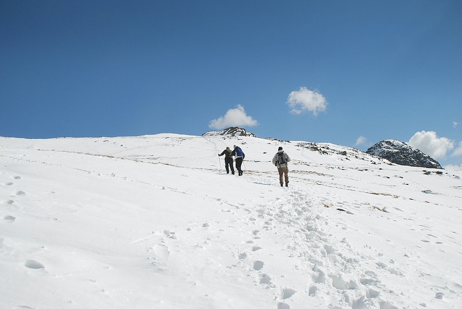 |
| Climbing up to the rock outcrop, the summit of Pike o' Stickle on the right |
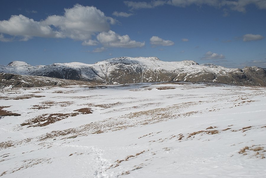 |
| Looking back to Glaramara with Great Gable on the left |
 |
| Approaching the rock outcrop |
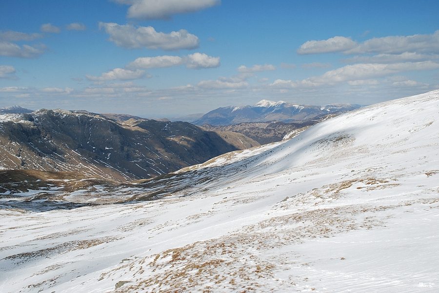 |
| Looking down the Stake Pass |
 |
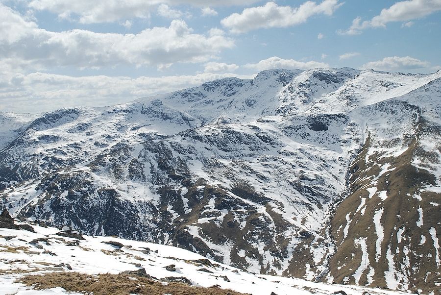
| Great End. Allan Crags, Great Gable and Green Gable from the rock outcrop |
 |
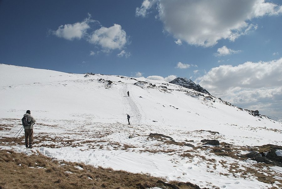
| Crinkle Crags from the rock outcrop |
 |
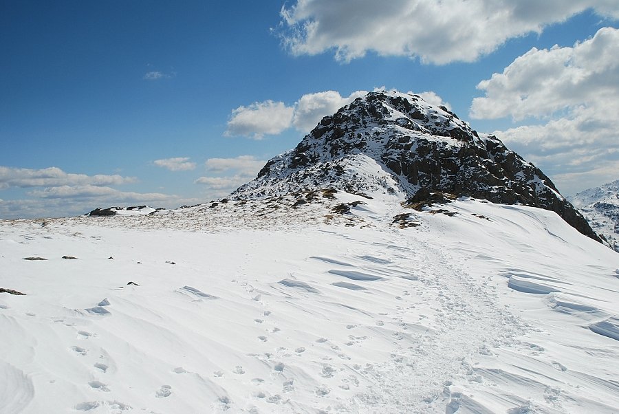
| From the top of the rock outcrop the final slope is revealed which leads up to a brow overlooking Harrison Combe |
 |
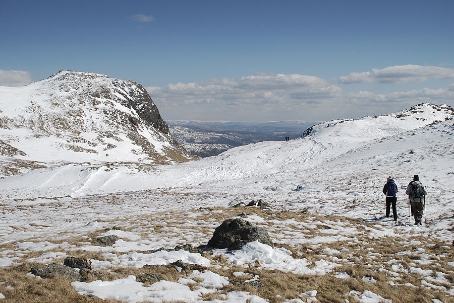
| The summit of Pike o' Stickle from the top of the brow above Harrison Combe |
 |
| Harrison Stickle across Harrison Combe |
 |
| Looking back to Glaramara over Martcrag Moor |
 |
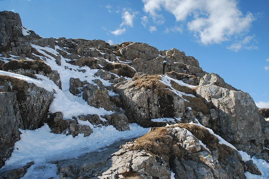
| Approaching the summit of Pike o' Stickle. There is a choice of paths to reach the highest point, all of which involve a little mild scrambling. The easiest one under these conditions of snow and ice is on the left edge |
 |
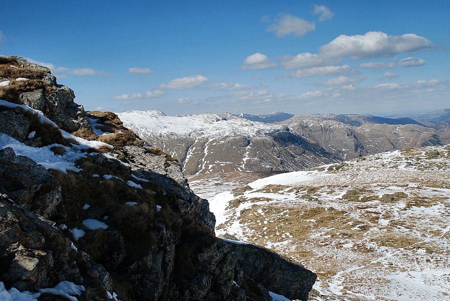
| The upper part of the scramble to the summit |
 |
| Glaramara and Rosthwaite Fell from the summit scramble |
 |
| The summit cairn on Pike o' Stickle looking towards Windermere |
 |
| Looking down on Gimmer Crag and Mickleden |
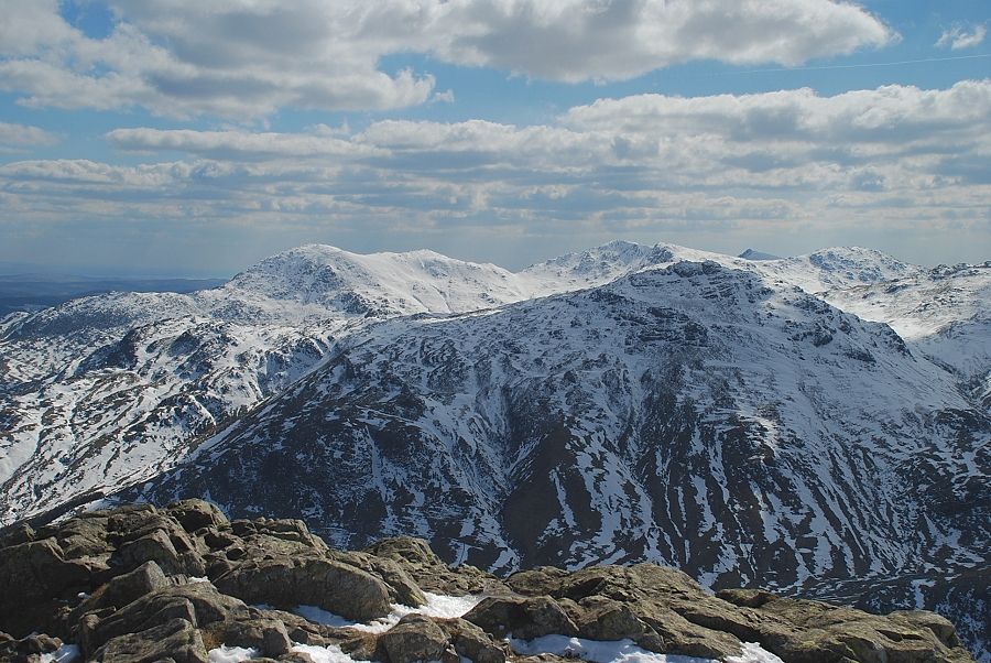 |
| The Coniston fells of Wetherlam, Swirl How, Great Carrs, Dow Crag, and Grey Friar over Pike o' Blisco |
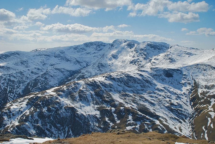 |
| Crinkle Crags |
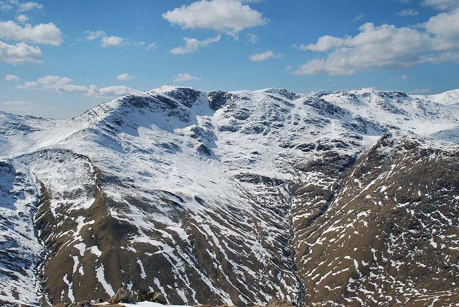 |
| Bowfell and Esk Pike |
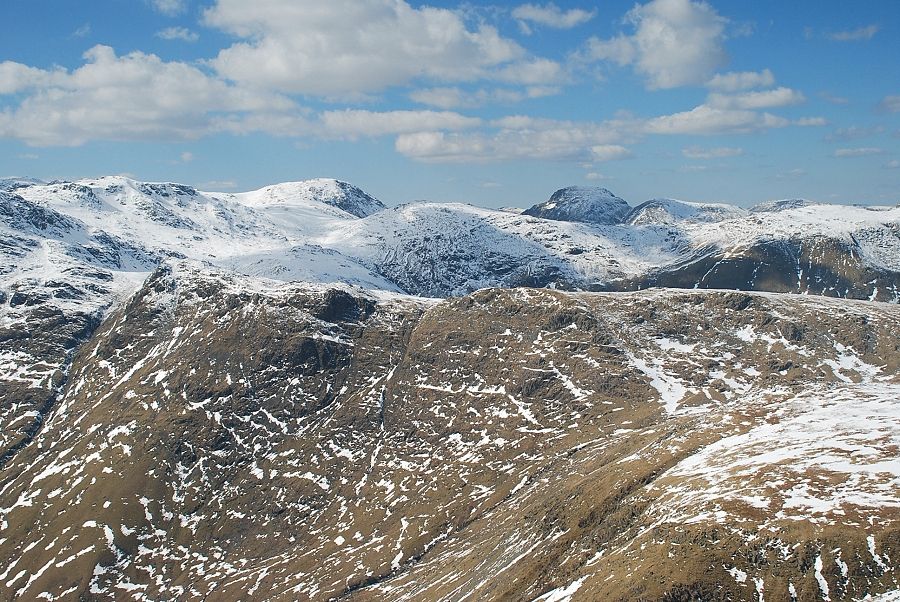 |
| Esk Pike, Great End, Allan Crags and Great Gable over the summit ridge of Rossett Pike |
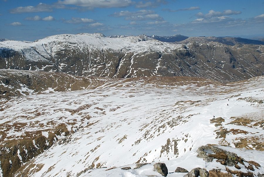 |
| Glaramara with the distant North Western Fells on the horizon |
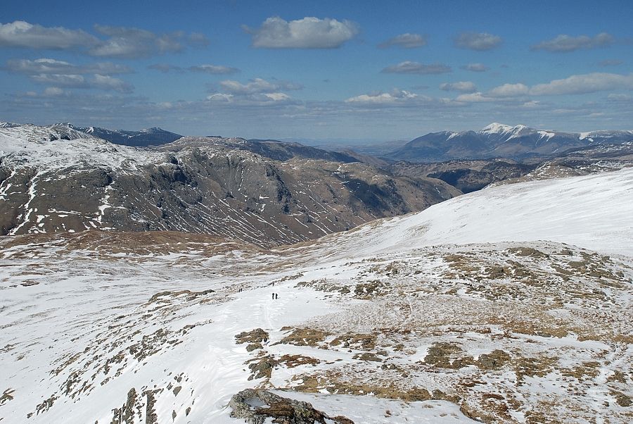 |
| Skiddaw in the distance on the right |
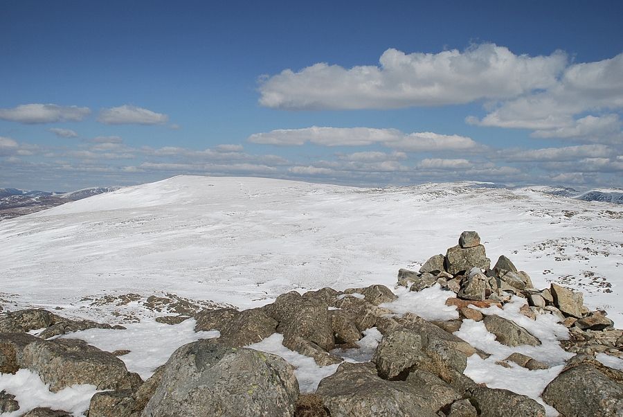 |
| Looking to High Raise, the highest of the Central Fells |
 |
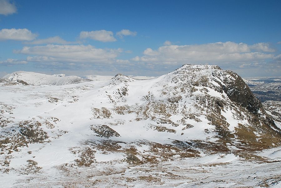
| The Helvellyn range over Thunacar Knott on the left with Fairfield over the summit of Pavey Ark on the right |
 |
| Harrison Stickle across Harrison Combe |
 |
| Windermere over Loft Crag |
|