 |
| The National Trust car park by the Dungeon Ghyll Old Hotel is the starting point for this walk |
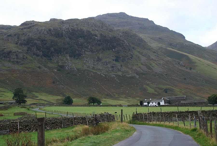 |
| Kettle Crag and Pike o' Blisco dominate the view on the walk along the road towards Wall End Farm |
 |
| Past Wall End Farm on the road to Blea Tarn and Little Langdale |
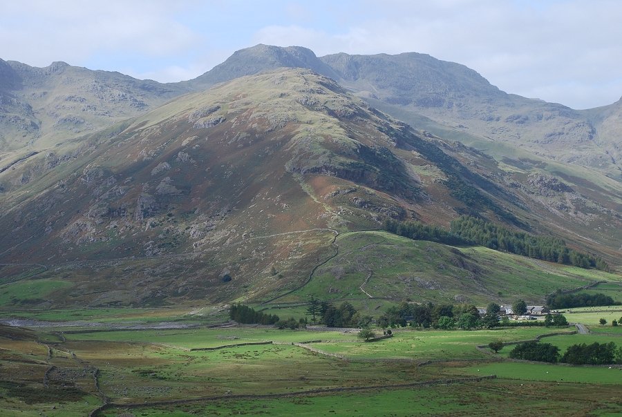 |
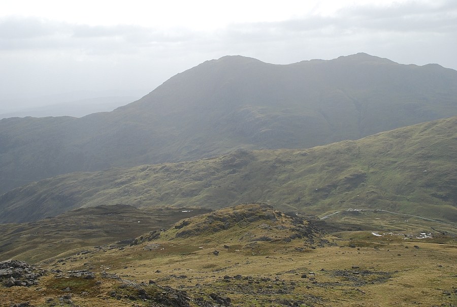
| Bowfell from the Blea Tarn road |
 |
| Just beyond a sharp bend in the road a path turns off to the right towards Redacre Gill |
 |
| Looking back to the Langdale Pikes from the start of the Redacre Gill path |
 |
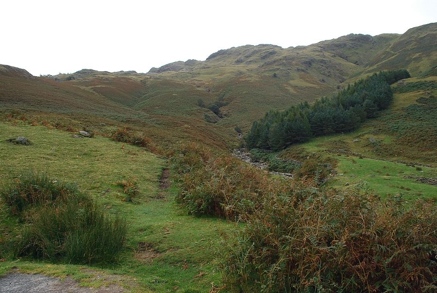
| Redacre Gill, the path can be seen on the left side of the tongue in the centre |
 |
| Looking back to Side Pike on Lingmoor |
 |
| In a little over three hundred yards the path crosses the stream |
 |
| Looking over to the Langdale Pikes from the stream crossing |
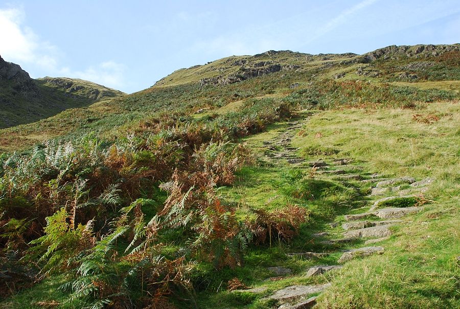 |
| The path up the tongue has been stone pitched to minimise erosion of this popular route |
 |
| Looking back to the start of the path from the tongue |
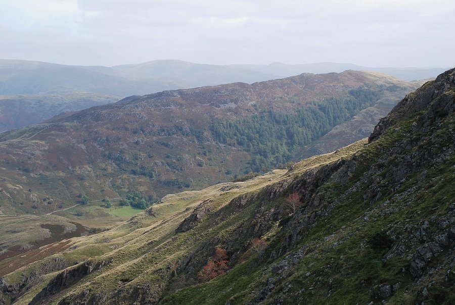 |
| Looking across to Lingmoor Fell from the tongue |
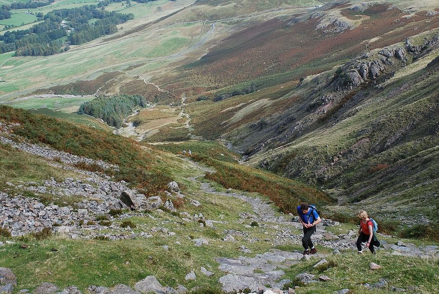 |
| Looking down the steepest section of the path |
 |
| Nearing the top of Redacre Gill |
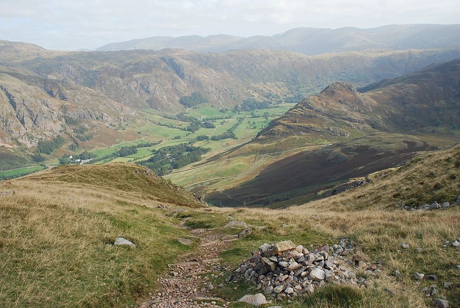 |
| Great Langdale from the top of Redacre Gill |
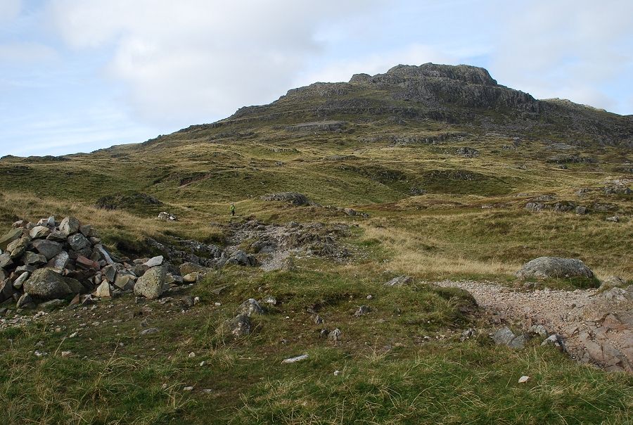 |
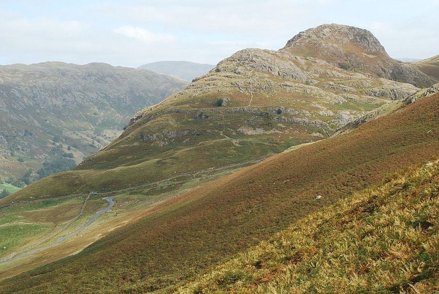
| The summit of Pike o' Blisco from the top of Redacre Gill. The path is marked by cairns as it crosses easier ground and leads directly through a series of rock bands which require a little mild scrambling to surmount |
 |
| The Langdale Pikes from the cairned path |
 |
| Bowfell from the cairned path |
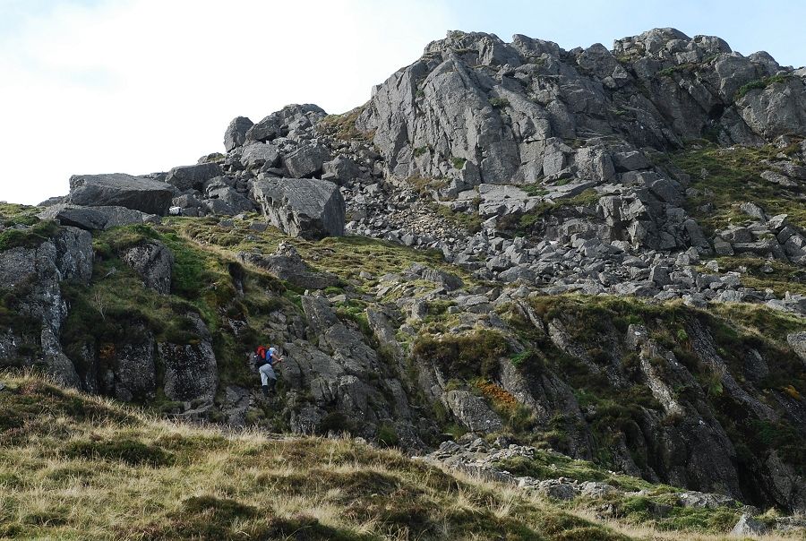 |
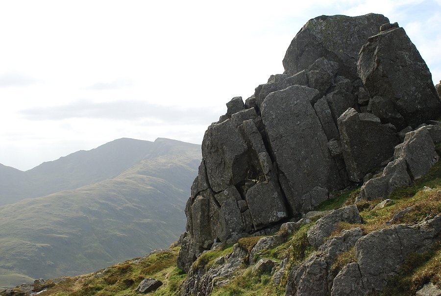
| At the base of the steepest rock band |
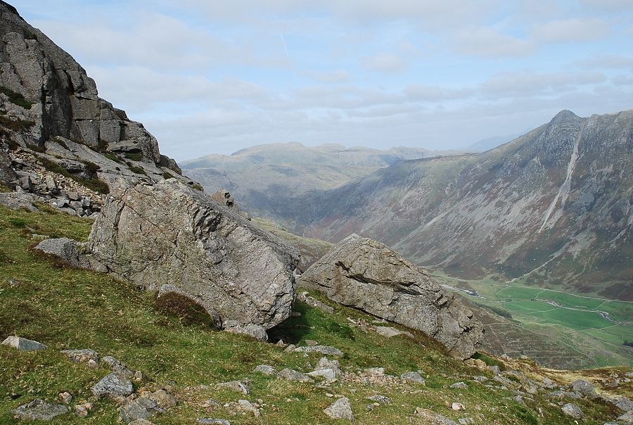 |
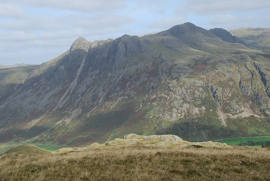
| Looking right to Glaramara and Pike o' Stickle |
 |
| Looking left to Swirl How and Great Carrs |
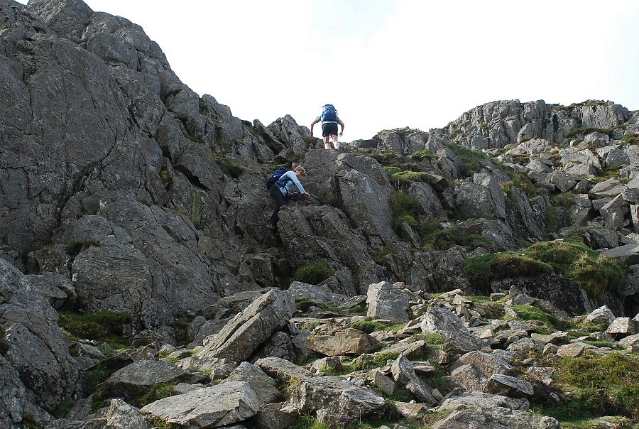 |
| Scrambling up the final rocks leading to the summit ridge |
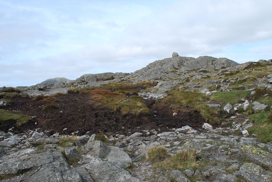 |
| The path emerges onto a peaty depression between two rock platforms, the summit lies to the right |
 |
| Looking down the route of ascent |
 |
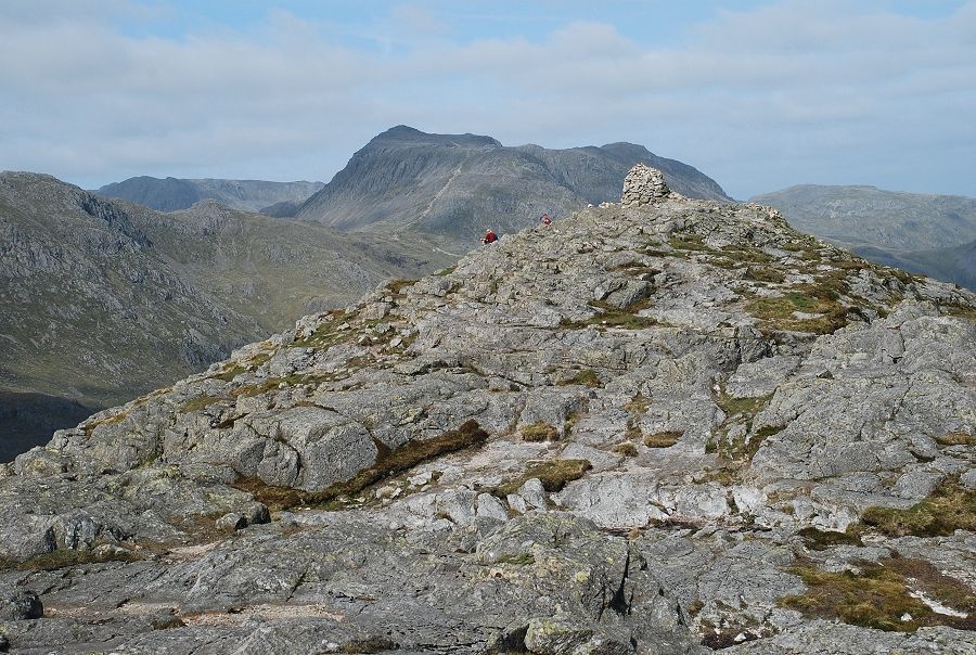
| The summit of Pike o' Blisco |
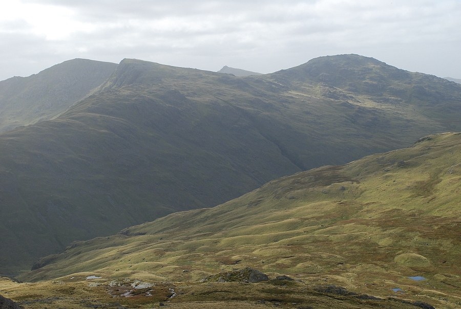 |
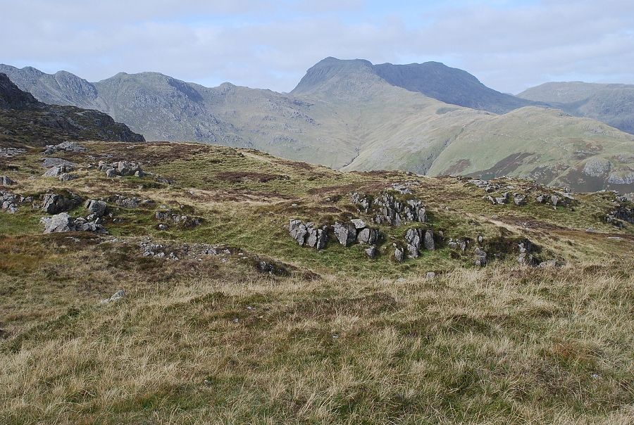
| Looking south from the summit to Swirl How, Great Carrs, Dow Crag and Grey Friar |
 |
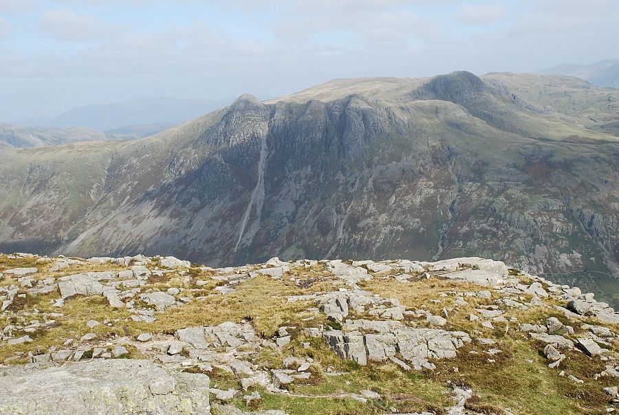
| Crinkle Crags from the summit of Pike o' Blisco |
 |
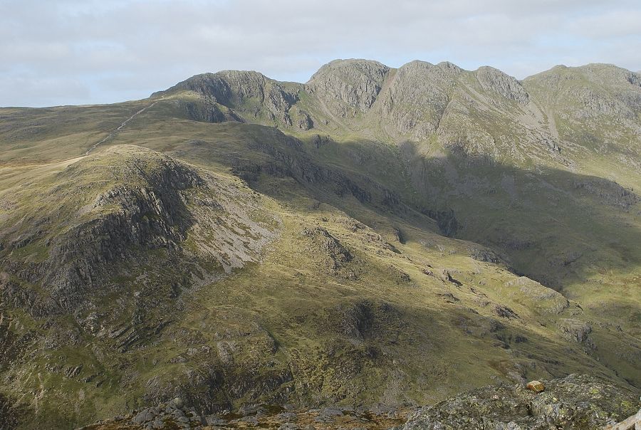
| Bowfell |
 |
| Pike o' Stickle across Mickleden |
 |
| Wetherlam across the south top of Pike o' Blisco |
 |
| The Langdale Pikes from the south top |
 |
| The summit of Pike o' Blisco from the south top |
 |
| Looking down to Wrynose Pass from the south top |
 |
| Red Tarn and Cold Pike from the south top |
 |
| Crinkle Crags from the south top |
