 |
| The start of the walk from Kirkstonefoot. A third of a mile south of the Brotherswater Inn a signpost and a wall stile indicates the start of an old path which leads across field enclosures to the disused Caiston Glen lead mine |
 |
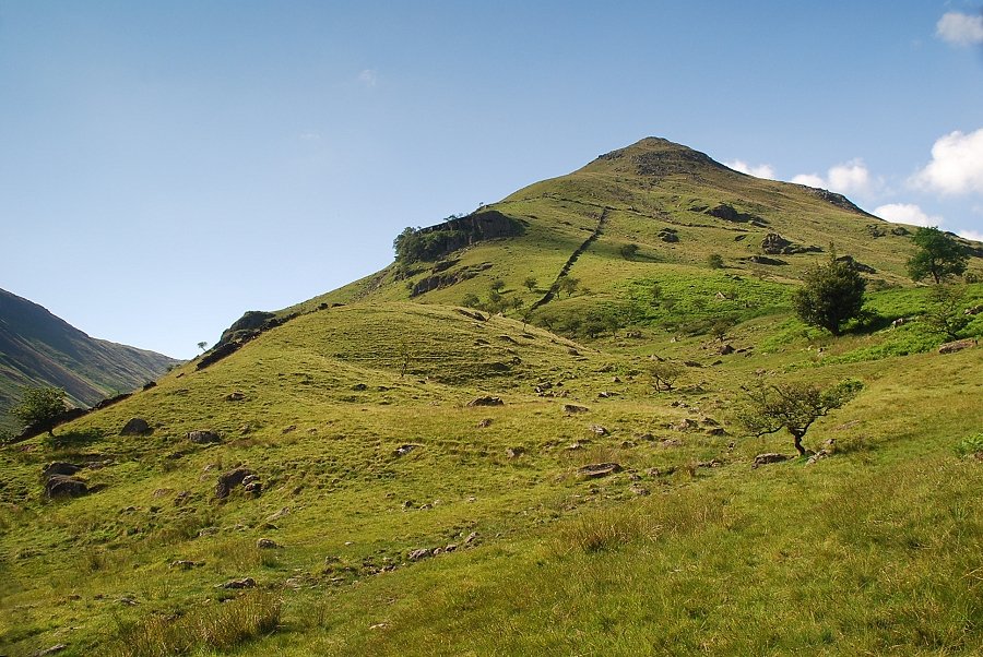
| Looking across to High Hartsop Dodd from the stile |
 |
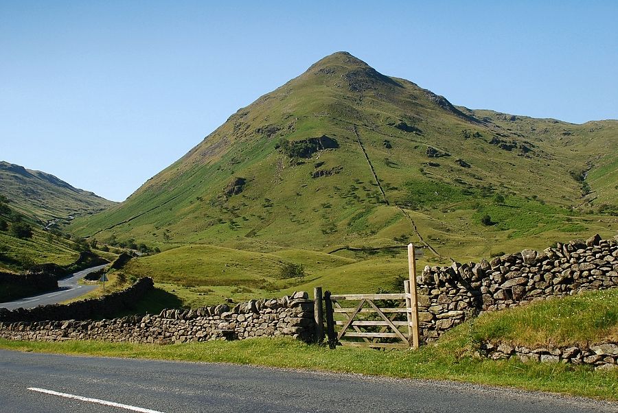
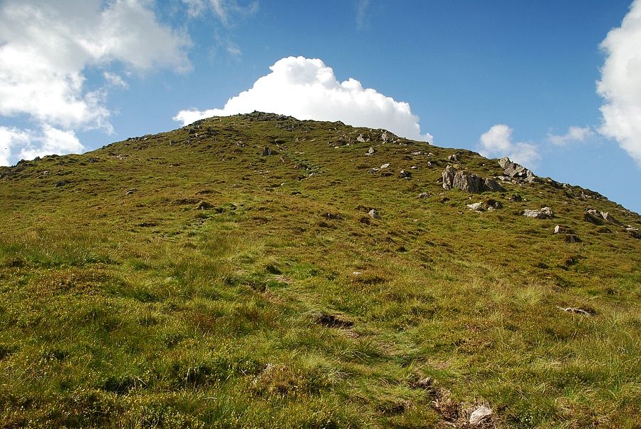
| Middle Dodd from the stile. Initially the route follows the wall before traversing over to the top of the obvious crag then climbs directly up the steep prow of the ridge, crossing a ruined wall at mid height |
 |
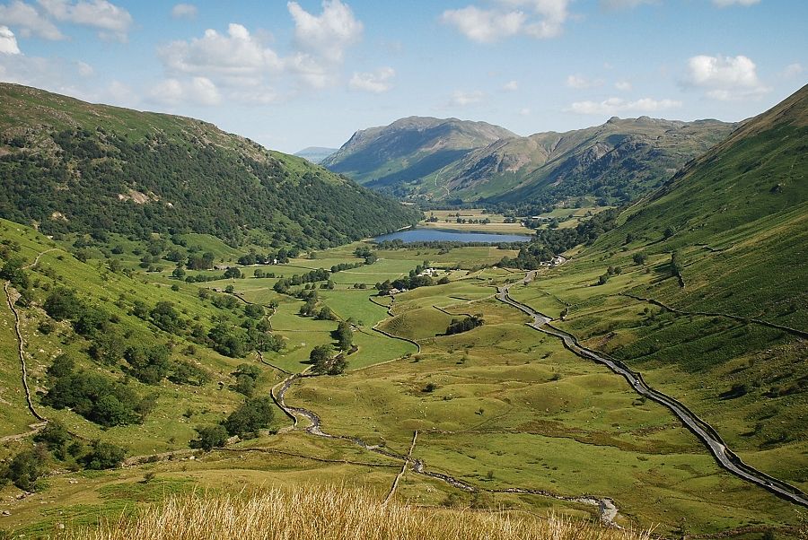
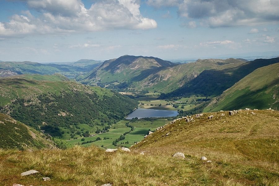
| The path takes a meandering course around some moraines in the field on its way to cross Kirkstone Beck with views back towards the summits of Place Fell and Angletarn Pikes |
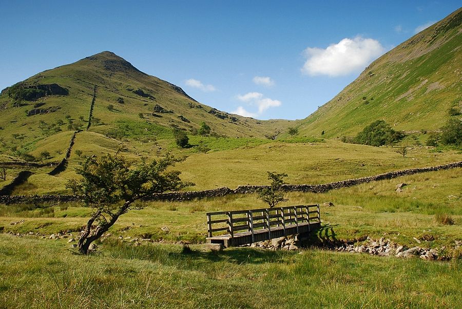 |
| The footbridge over Kirkstone Beck looking towards Scandale Pass at the head of Caiston Glen |
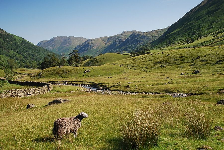 |
| Place Fell and Angletarn Pikes from Kirkstone Beck |
 |
| Beyond the footbridge the path rises to cross a ladder stile and joins the old bridle path which runs between Hartsop Hall and the Kirkstone Pass |
 |
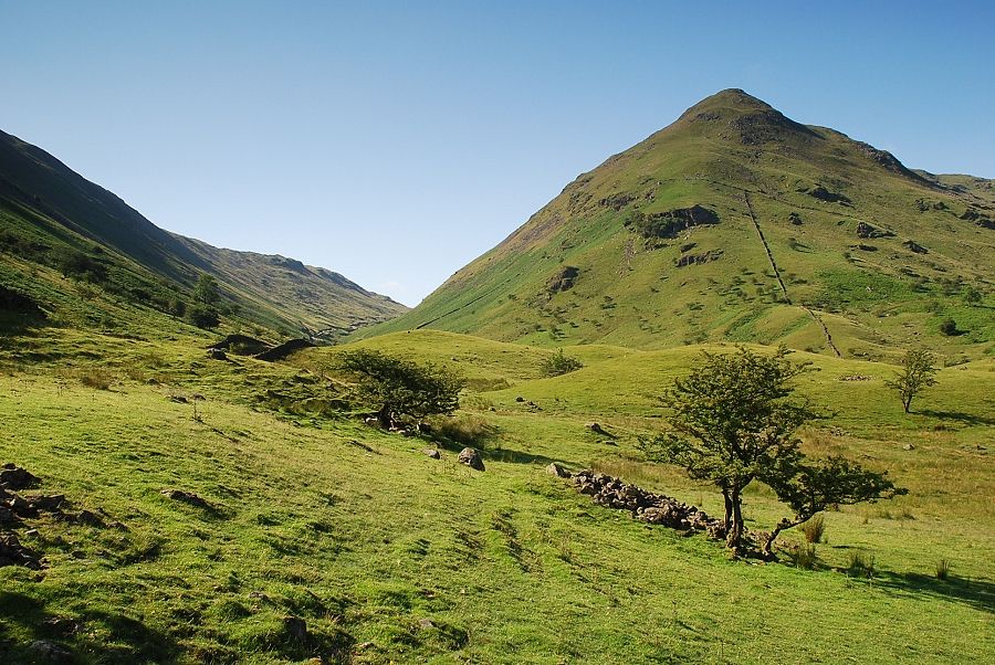
| Middle Dodd from the bridle path |
 |
| Looking back to Place Fell and Angletarn Pikes from the bridle path |
 |
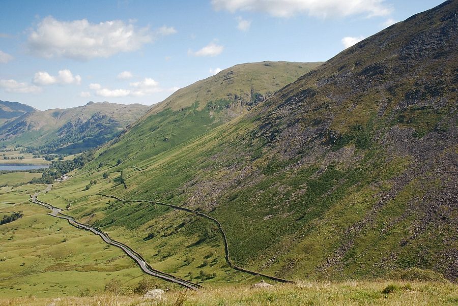
| The bridle path crosses the wall at the base of Middle Fell continuing on towards Kirkstone Pass, a faint path turns off it and rises alongside the wall |
 |
| Starting the ascent of the north ridge of Middle Fell, a steep and unrelenting climb |
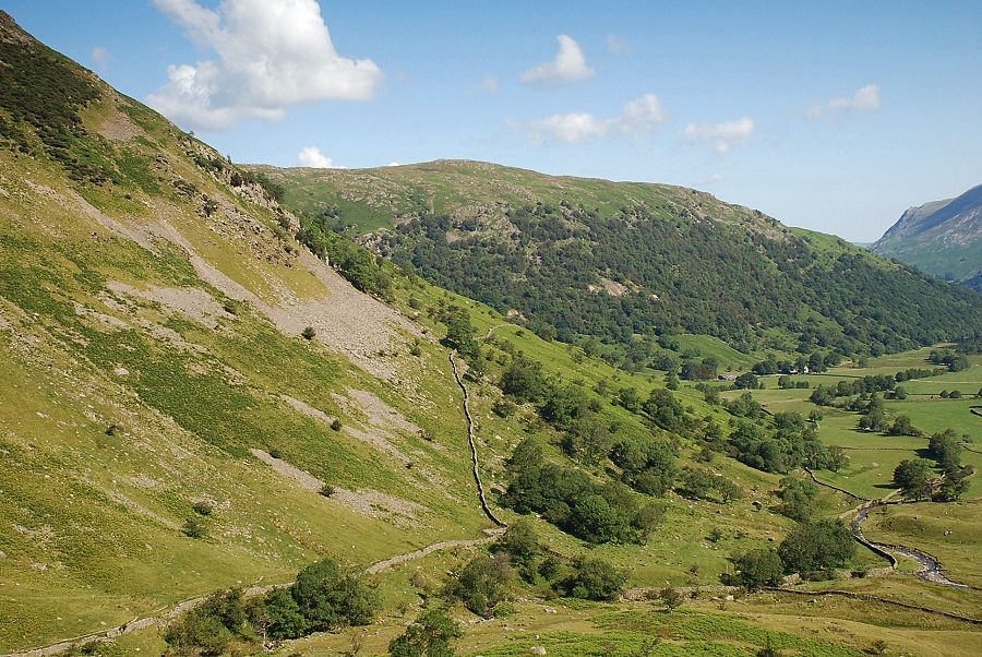 |
| Looking back to Hartsop above How, Hartsop Hall can be seen amongst the trees centre right |
 |
| Passing through the sparse plantation of stunted hawthorns on the lower slopes of the north ridge |
 |
| Higher up the path drifts left away from the wall towards a steep crag which is by-passed on the right |
 |
| Looking down to Kirkstonefoot from the side of the crag. The wide lay-by on the extreme left was starting point of the walk |
 |
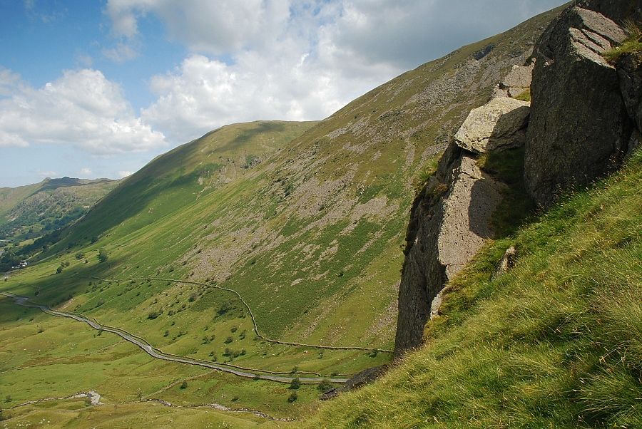
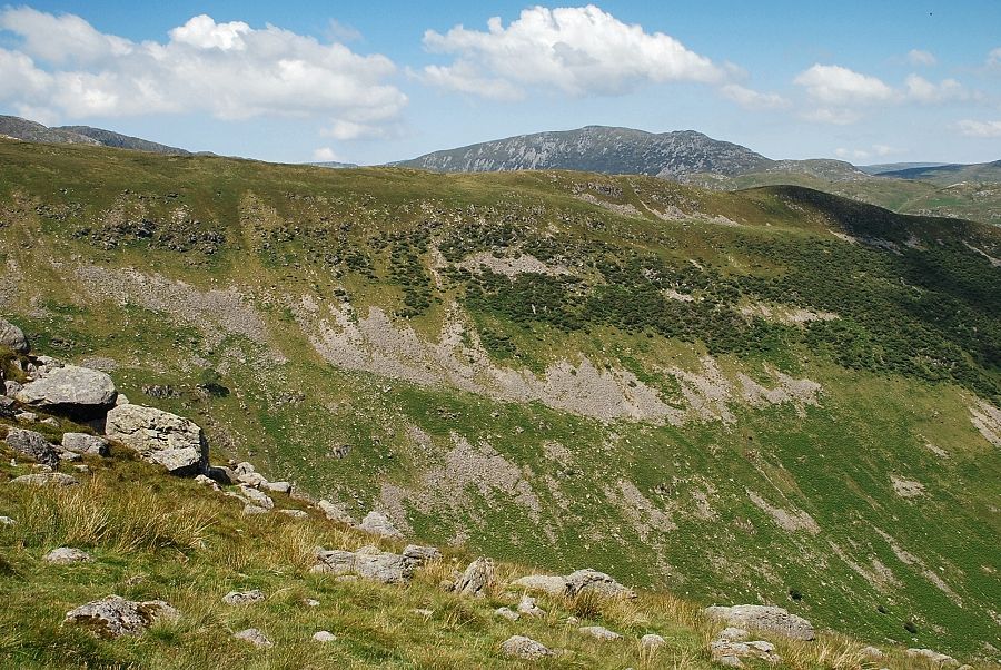
| Brothers Water from the top of the crag. The crag is a potentially dangerous trap for anyone descending the ridge in poor weather. The crag is not visible from above and a descent path ends on the edge of a sheer drop |
 |
| Looking over Little Hart Crag and Scandale Pass from the top of the crag |
 |
| Hartsop Dodd across the slopes of Rough Edge on Caudale Moor |
 |
| Continuing on with the climb and approaching the ruined cross-ridge wall which is about the half way point on the ridge |
 |
| Looking over to St. Raven's Edge from the cross-ridge wall |
 |
| Little Hart Crag from the cross-ridge wall |
 |
| The summit of St. Sunday Crag appears over the ridges of High Hartsop Dodd and Hartsop above How |
 |
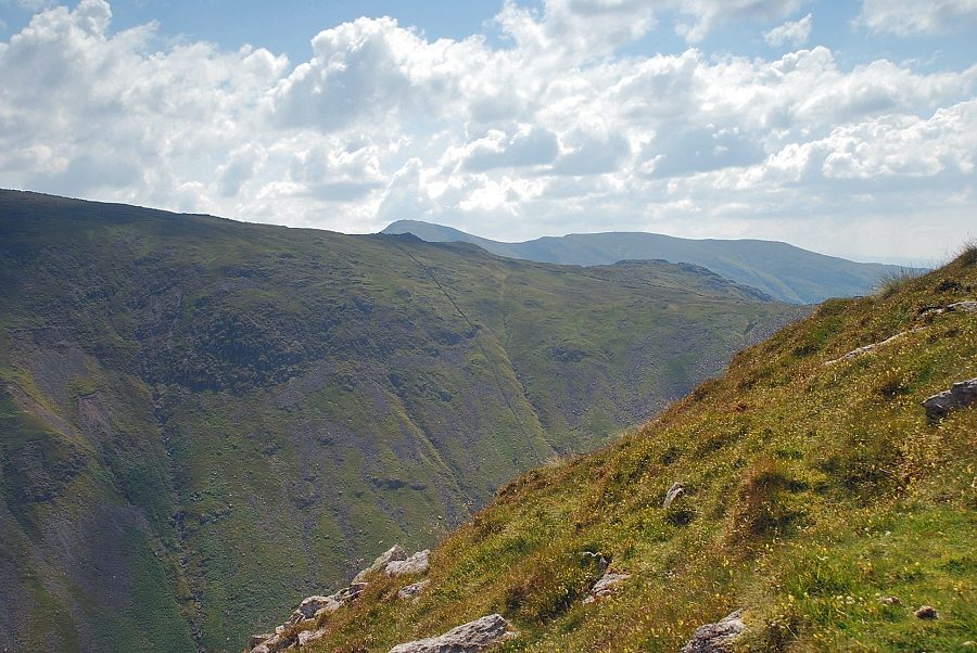
| Looking down on the route of ascent |
 |
| Above the wall the path traverses across a rocky section which presents no difficulties other than its steepness |
 |
| Looking over to Ill Bell and Yoke above the south ridge of Caudale Moor |
 |
| Looking north-west to Dove Crag and Hart Crag on the left with St. Sunday Crag on the right |
 |
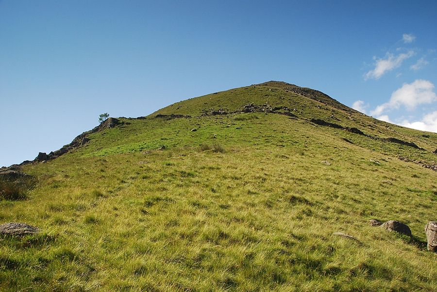
| The final steep rise on the north ridge, the summit of Middle Dodd lies a short distance beyond the high point on the horizon |
 |
| Looking down on the route of ascent from the top of the north ridge |
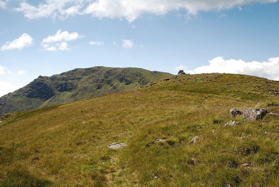 |
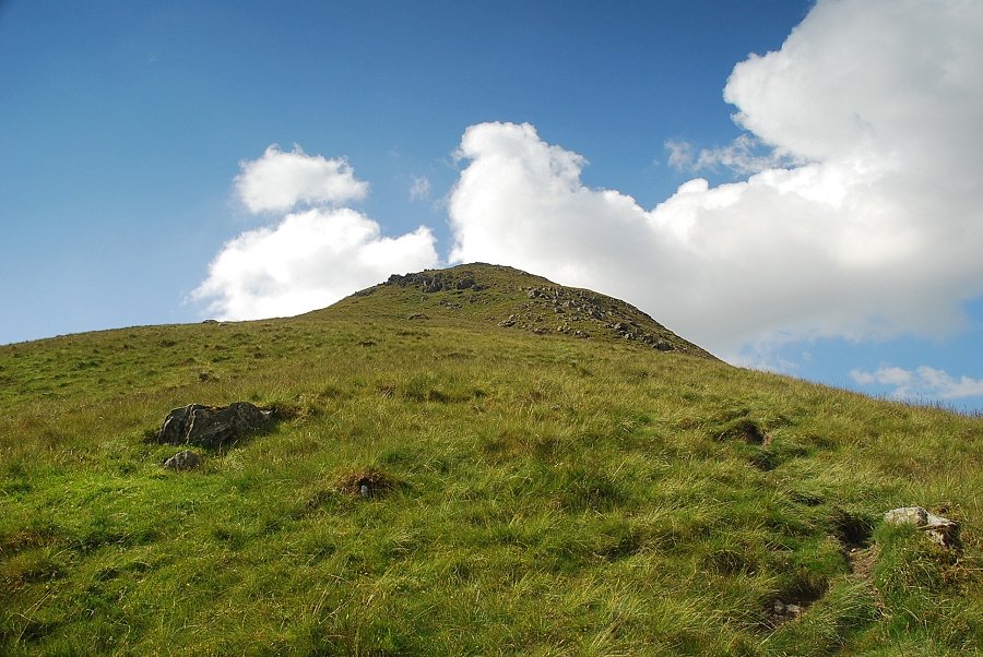
| The summit of Middle Dodd comes into view |
 |
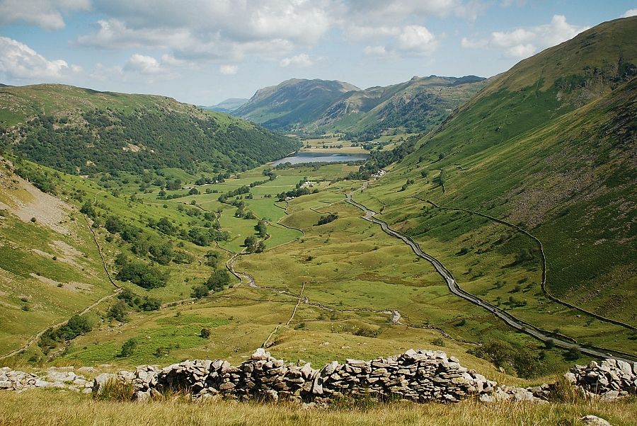
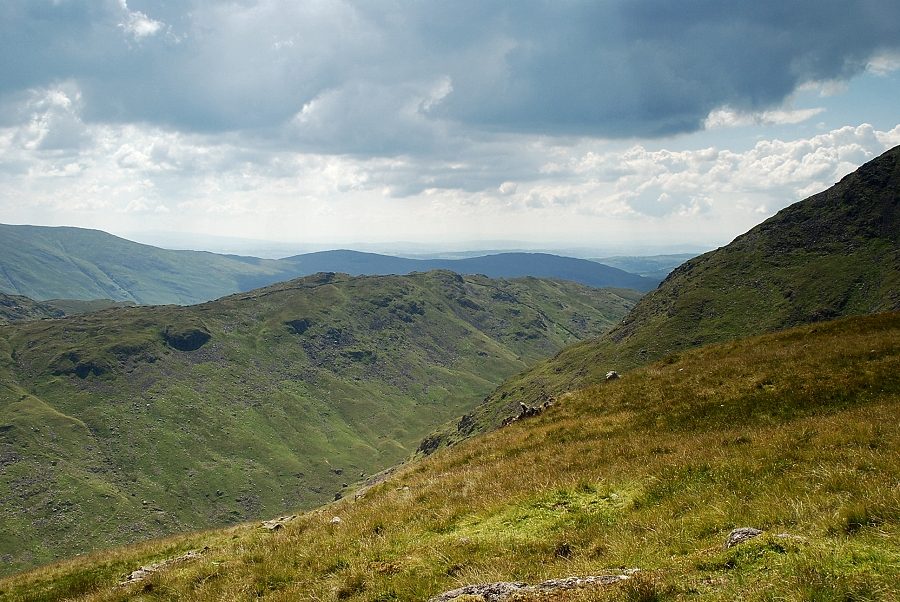
| Looking back to Brothers Water and Patterdale |
 |
| The summit cairn on Middle Dodd |
 |
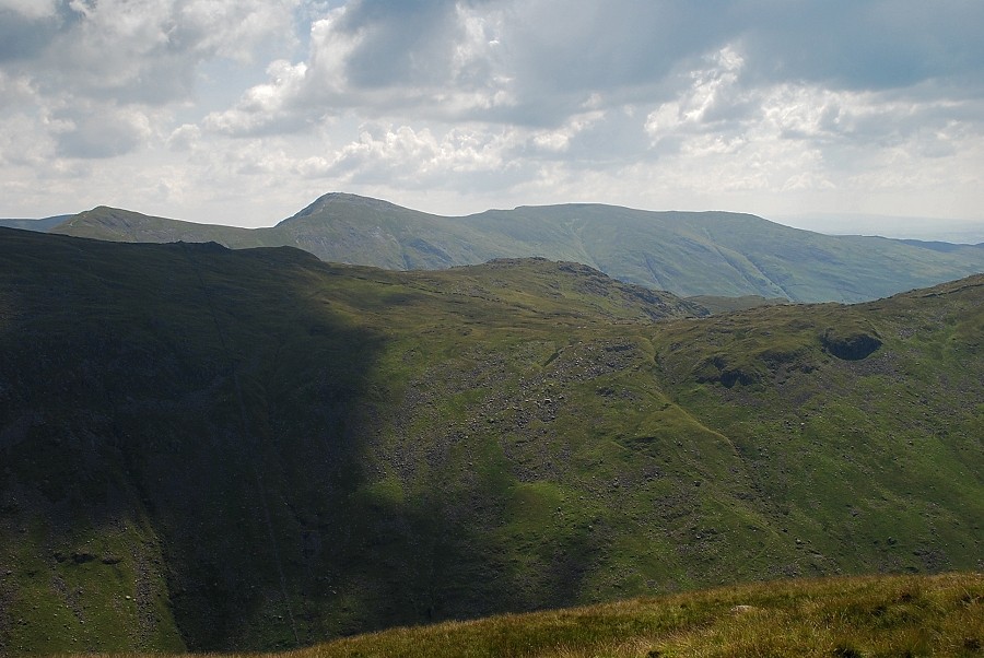
| Hartsop Dodd and Rough Edge in the middle distance with Bonscale Pike, Loadpot Hill, Rest Dodd and High Raise on the skyline above them |
 |
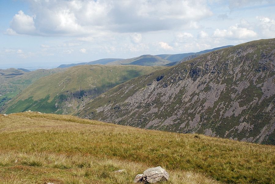
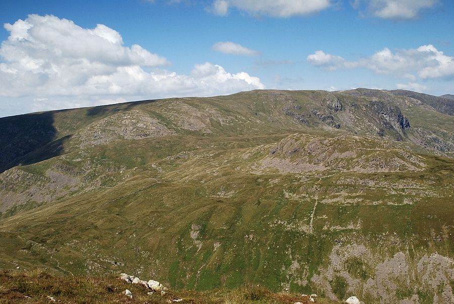
| Caudale Moor |
 |
| Froswick, Ill Bell and Yoke above the south ridge of Caudale Moor |
 |
| Sallows and Sour Howes above St. Ravens Edge |
 |
| The connecting ridge of Smallthwaite Band to the summit of Red Screes |
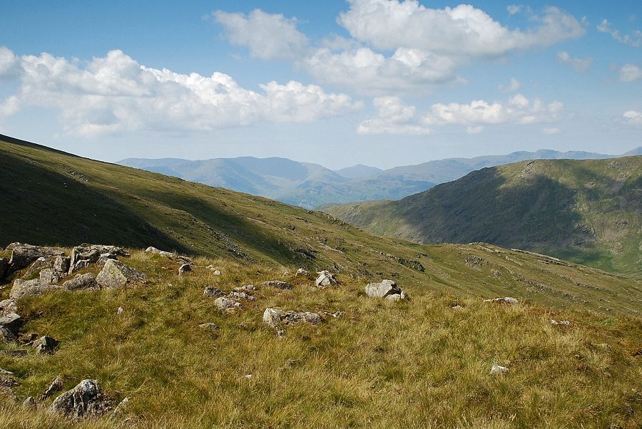 |
| The Coniston Fells, Harter Fell and Crinkle Crags form the skyline to the south-west |
 |
| Dove Crag over the summit of Little Hart Crag |
 |
| St. Sunday Crag with Dollywaggon Pike, Nethermost Pike and Helvellyn on the left |
 |
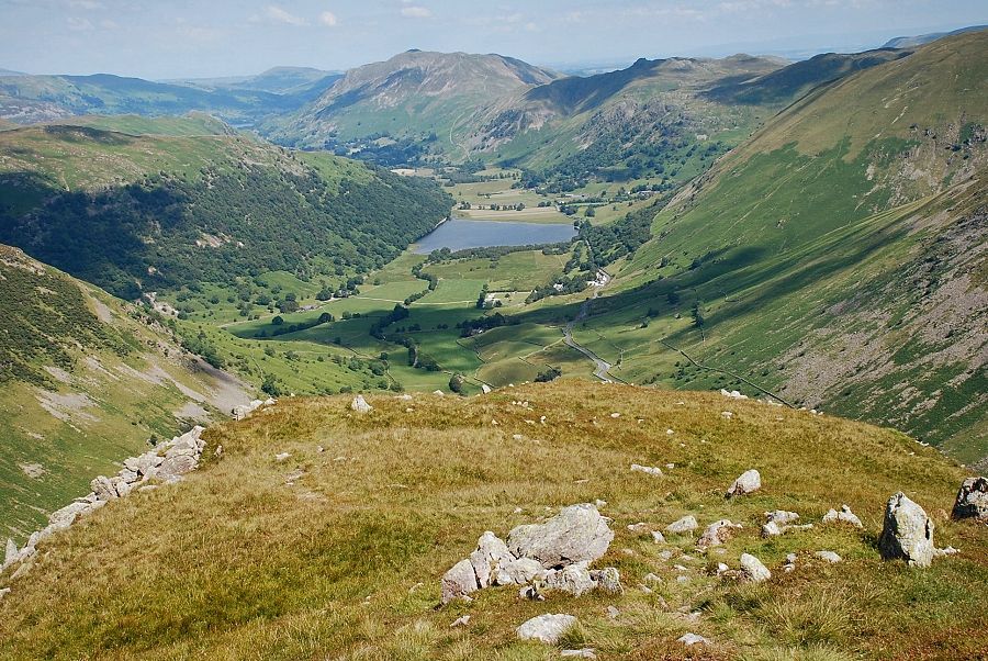
| Place Fell and Brothers Water from the summit of Middle Dodd |
