 |
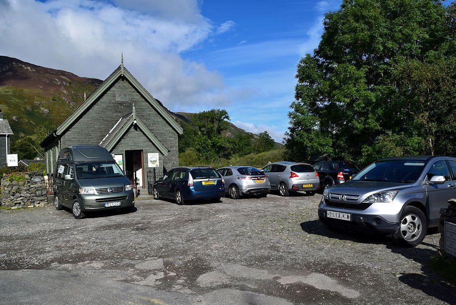
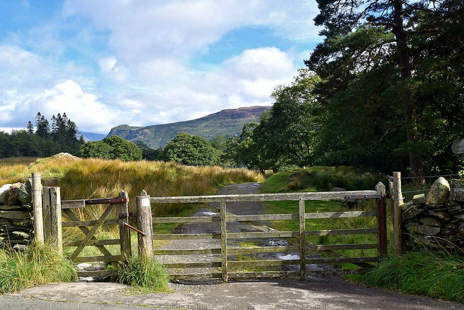
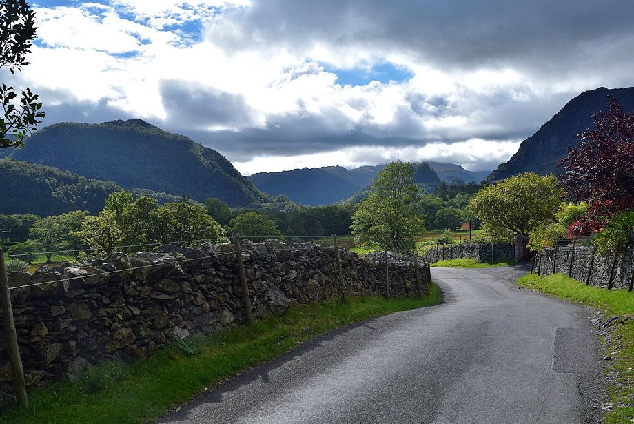
| The small car park beside the old Methodist Church in Grange is the starting point for this walk |
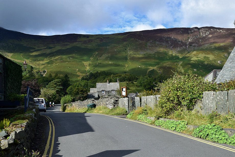 |
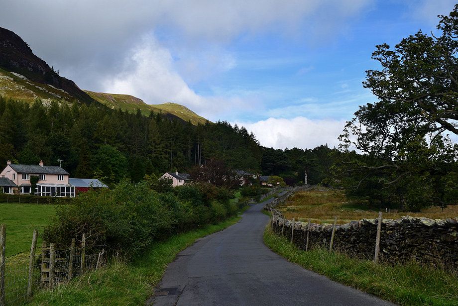
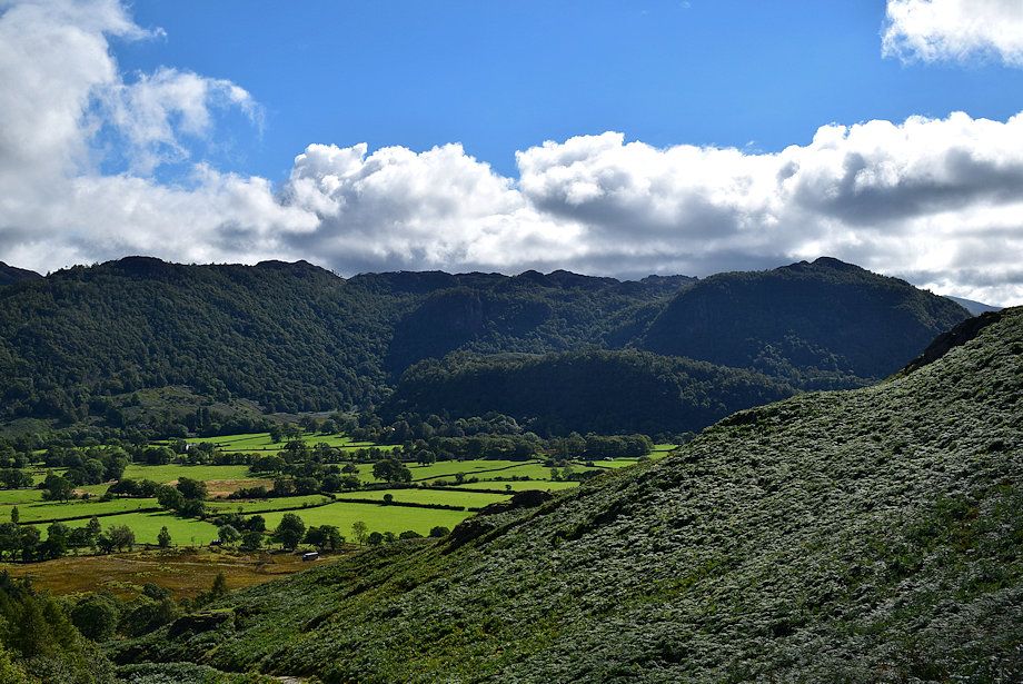
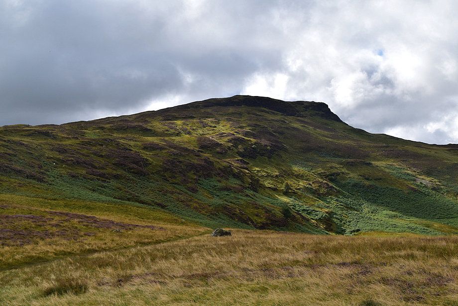
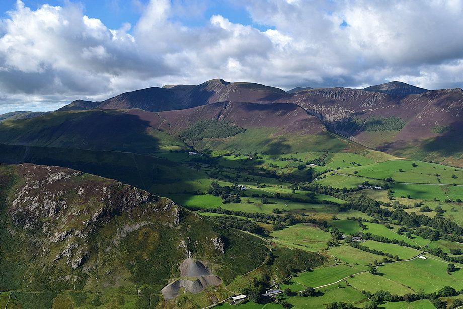
| Follow the minor road out of the village which forms part of the Cumbria Way. Maiden Moor dominates the view ahead |
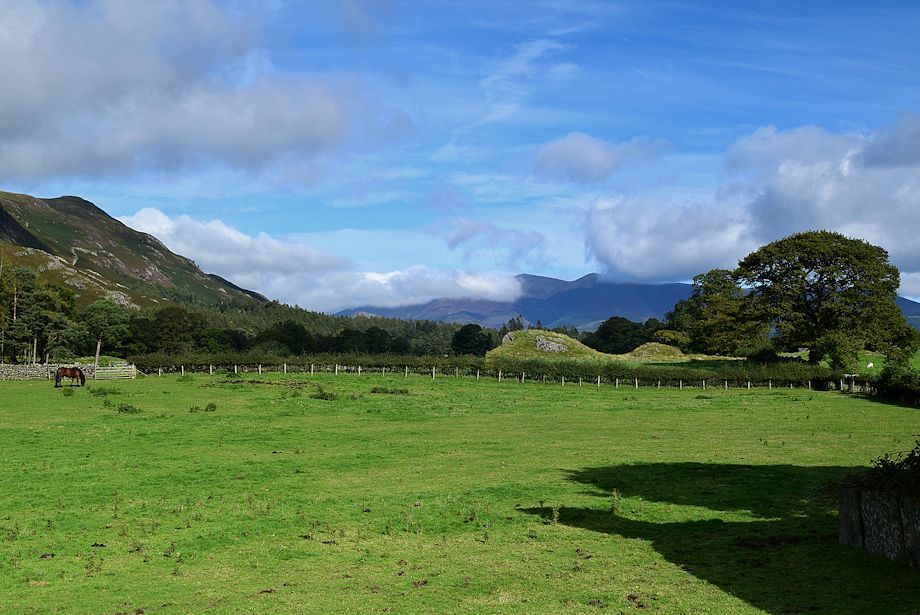 |
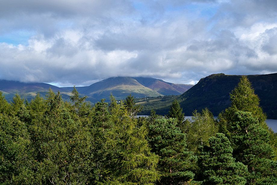
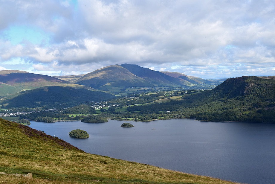
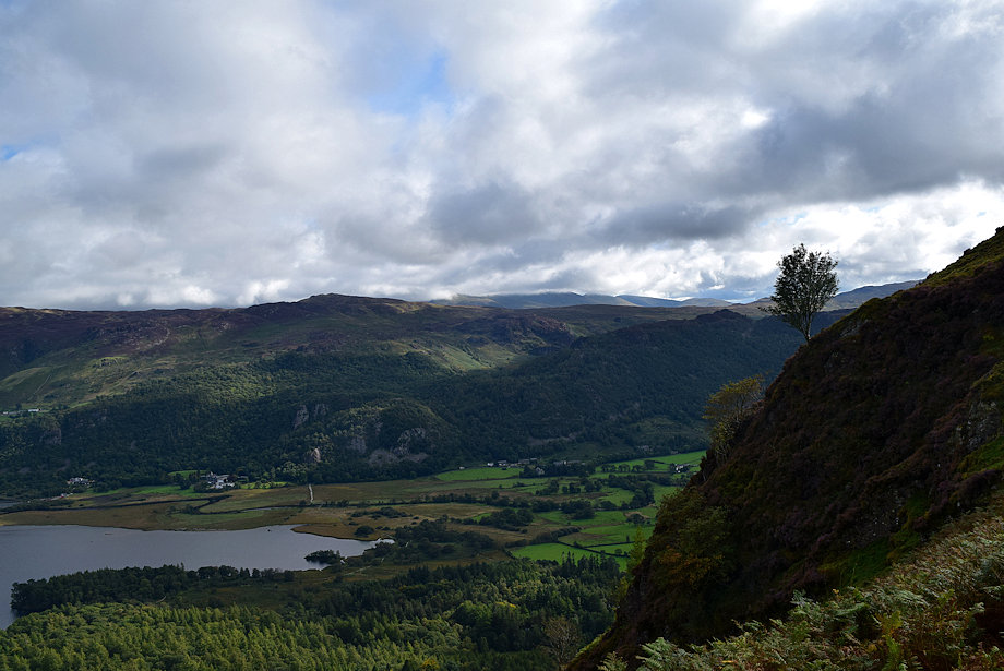
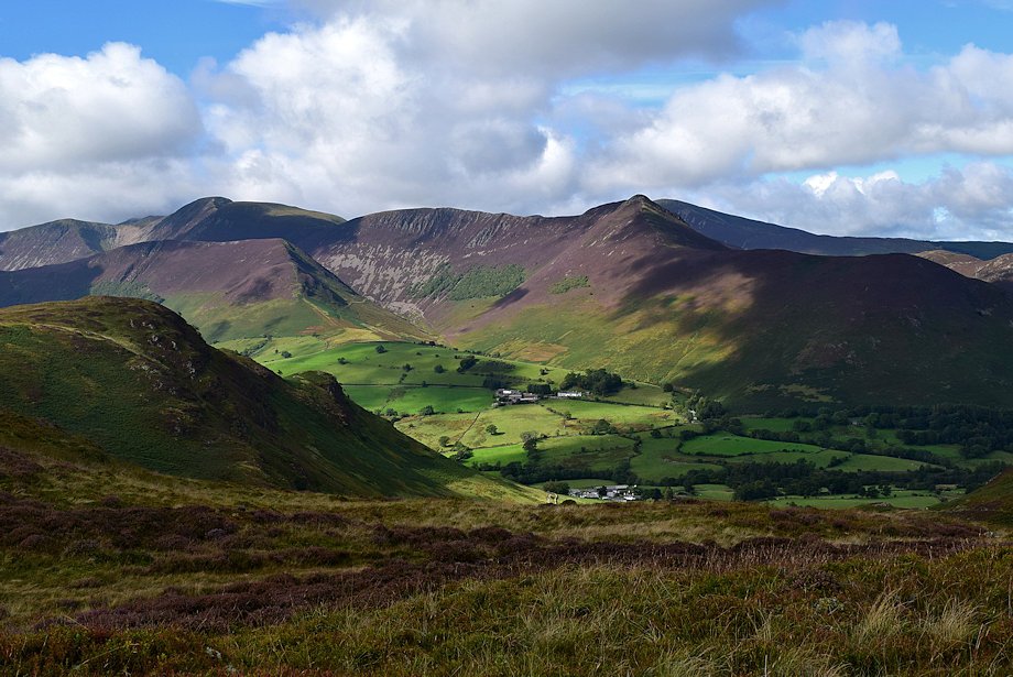
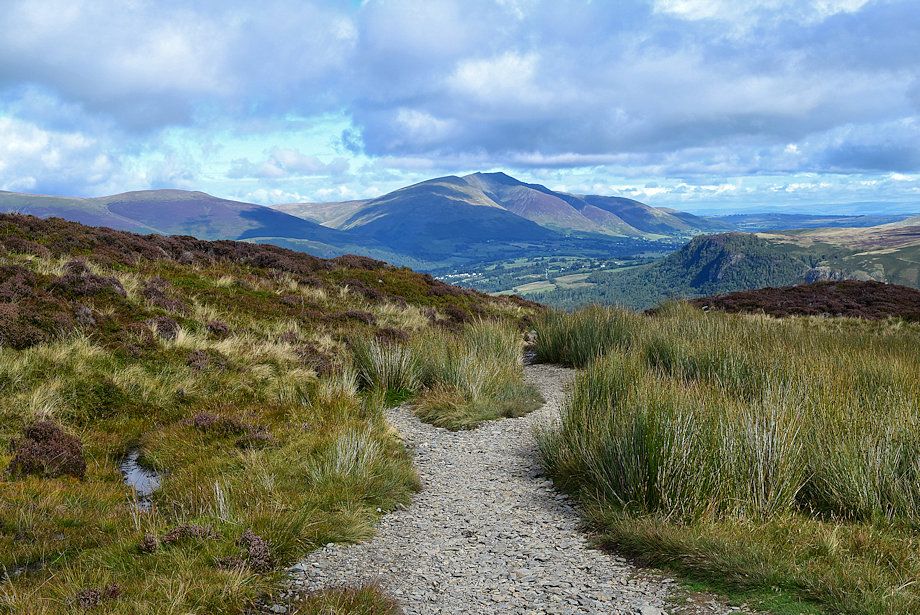
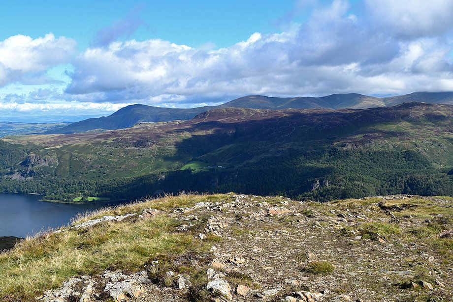
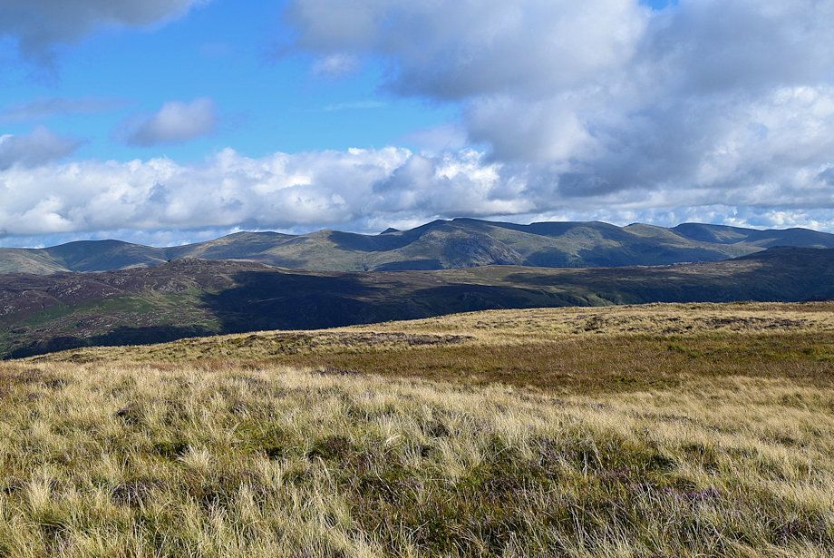
| Looking over towards Skiddaw with Catbells on the left |
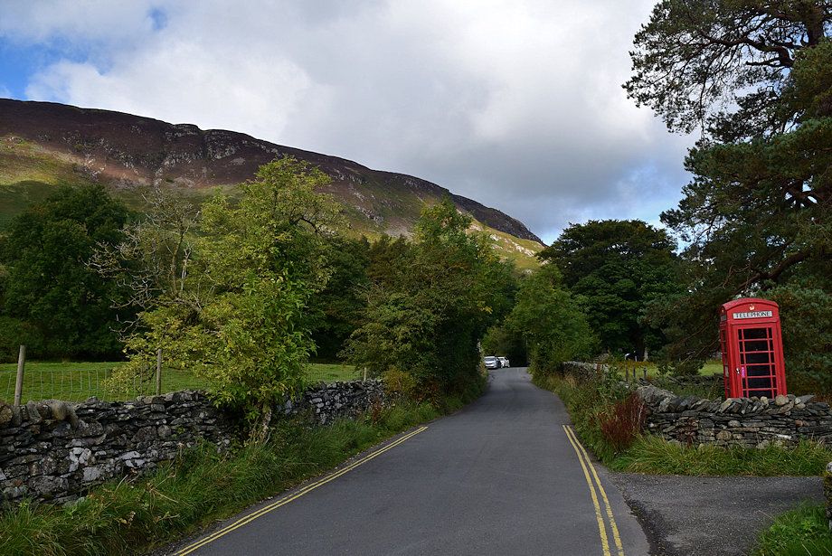 |
| If the car park in Grange is full there are few spaces available near the The Borrowdale Gates Hotel and Brandelhow Bay further along the road |
 |
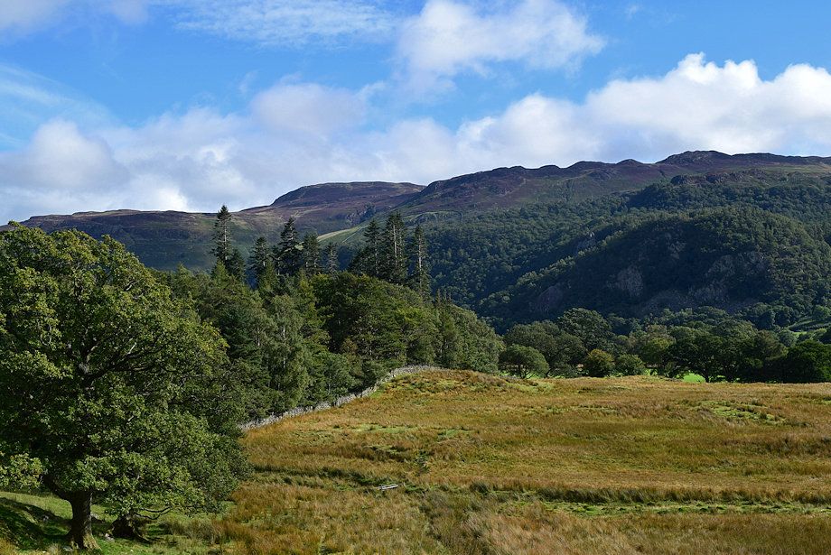
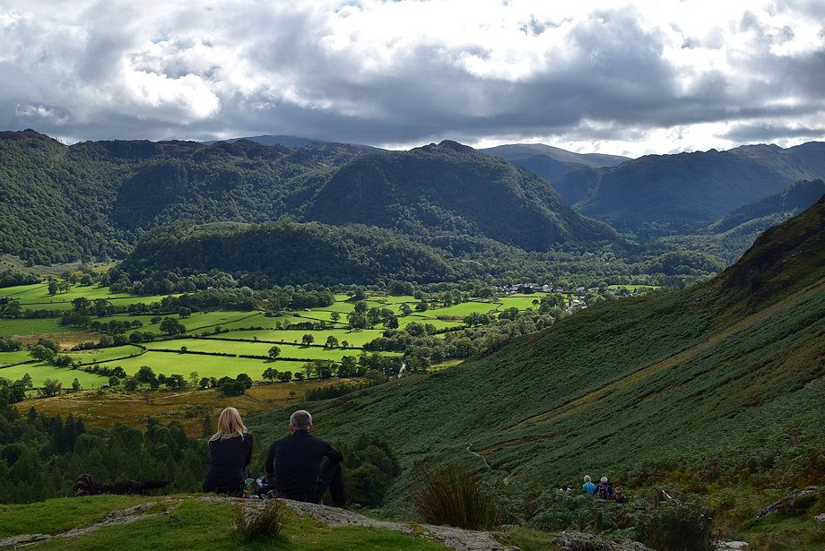
| In a little under three quarters of a mile from Grange the Cumbria Way turns off the road to follow the western shore of Derwent Water |
 |
| The route continues along the minor road past Manesty |
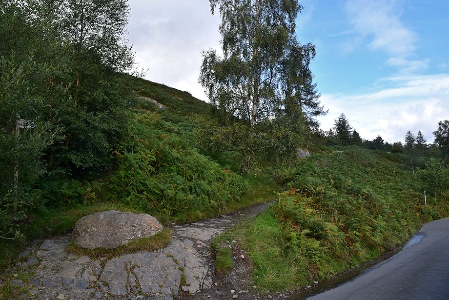 |
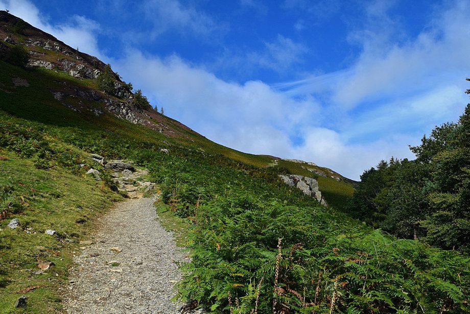
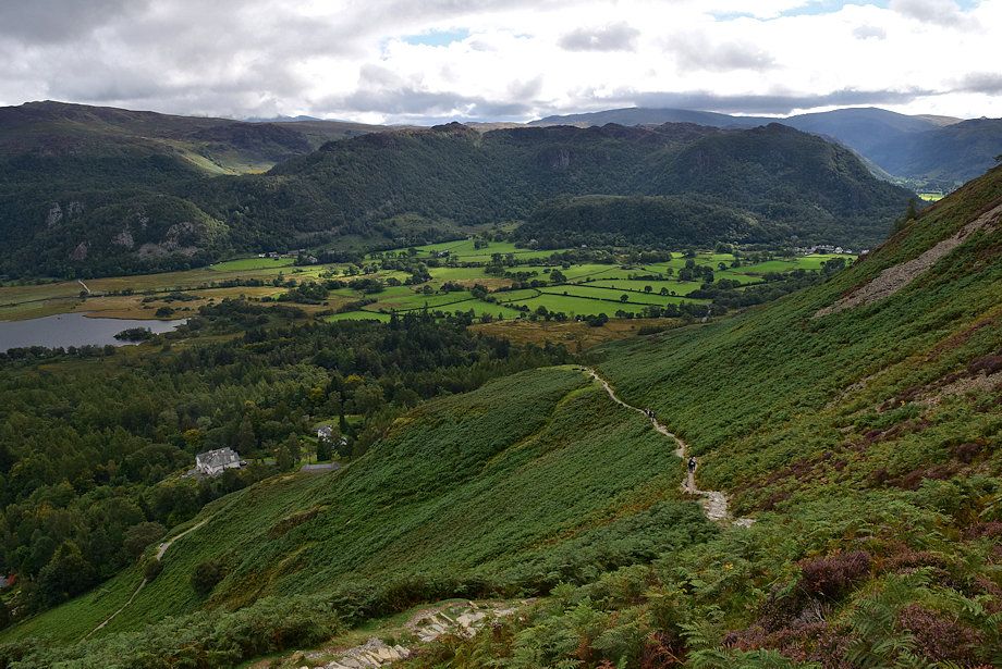
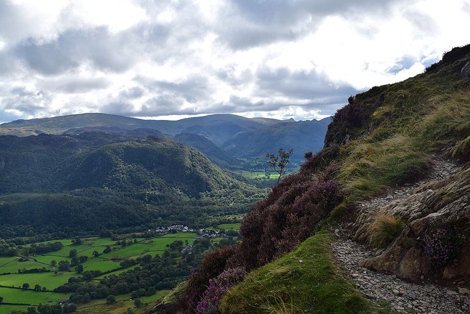
| Just beyond Manesty a fingerpost indicates the start of the ascent path |
 |
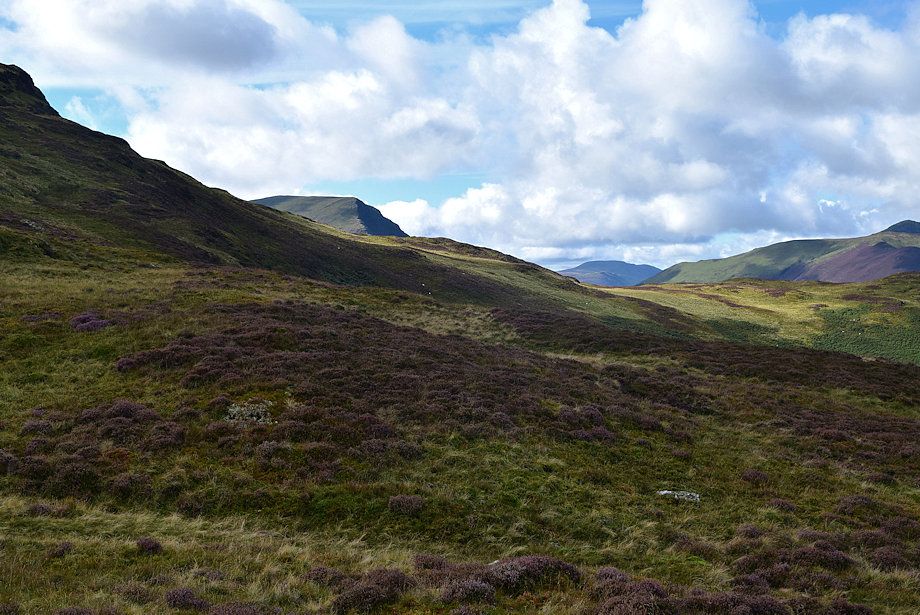
| Looking over to Bleaberry Fell and High Seat from the start of the path |
 |
| Looking back along the road to Grange from the start of the path |
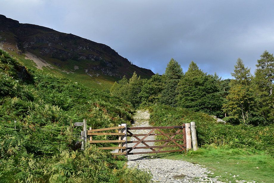 |
| In a few yards the path passes through a gate and joins the Allerdale Ramble Long Distance Path |
 |
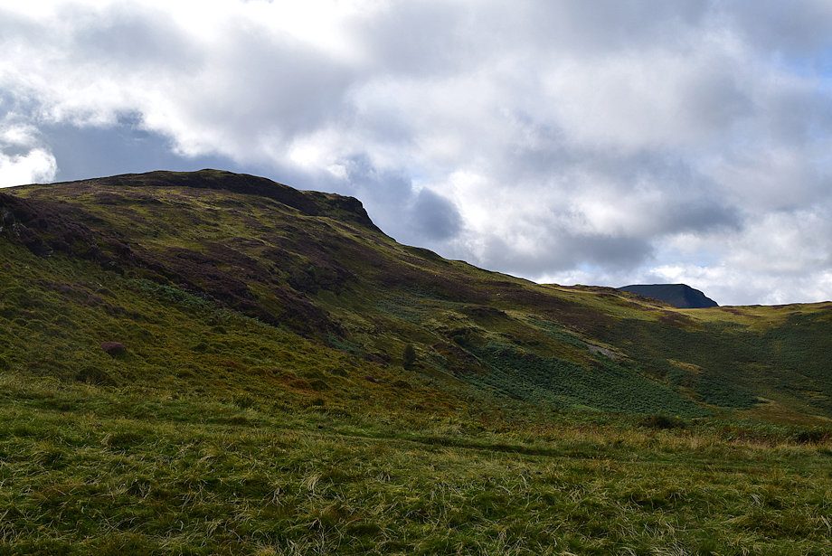
| Looking back towards Grange Fell from the Allerdale Ramble path |
 |
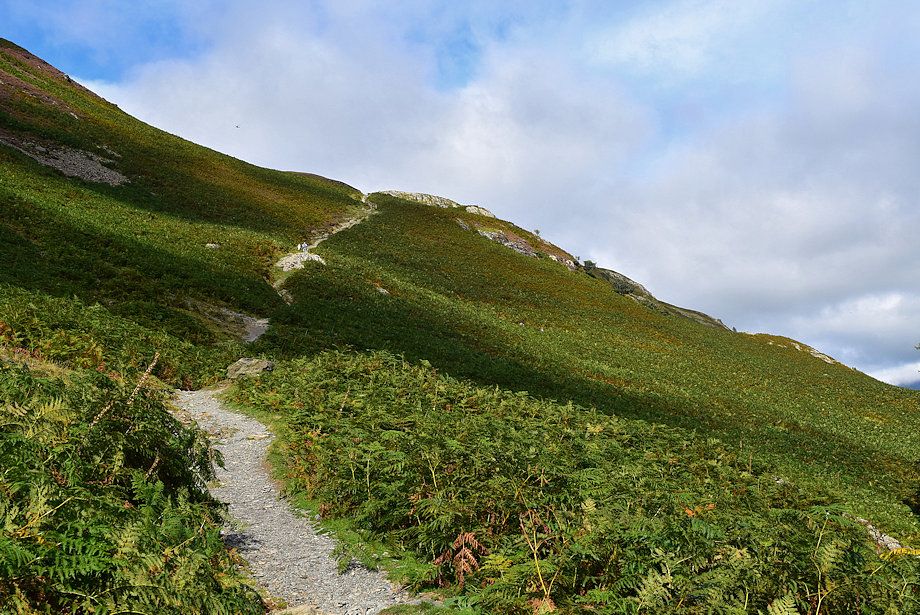
| Two hundred yards from the gate the path divides. The Allerdale Ramble path turns off to the right, the ascent path continues on as a bridleway |
 |
| The bridleway runs between Manesty and Little Town in the Newlands Valley, crossing the intervening ridge at Hause Gate |
 |
| Blencathra and Walla Crag from the bridleway |
 |
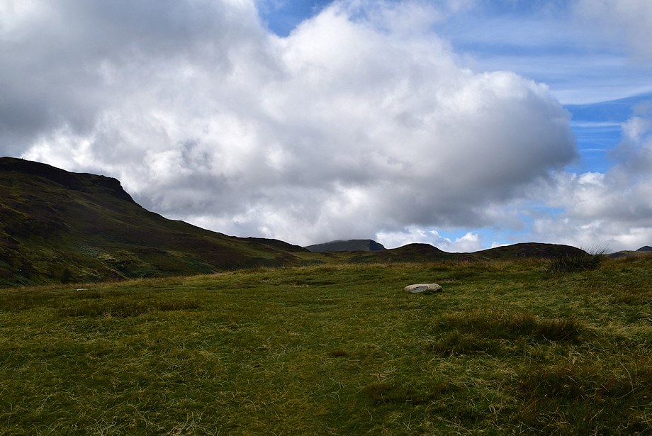
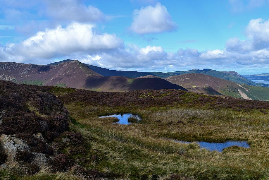
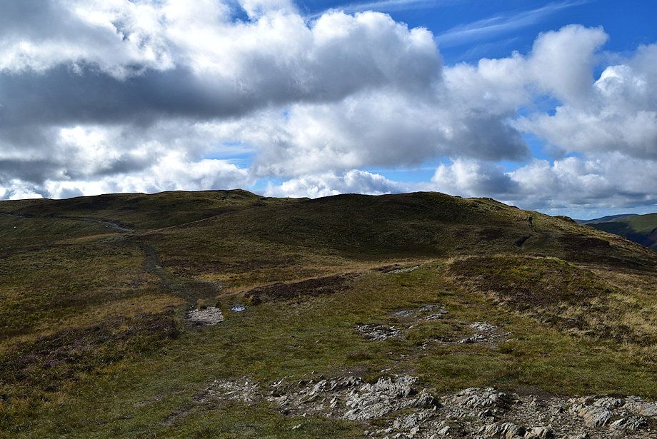
| The bridleway climbs steadily to a reach a level shoulder which is a fine viewpoint |
 |
| Looking up to Manesty Band and Black Crag on Maiden Moor from the bridleway |
 |
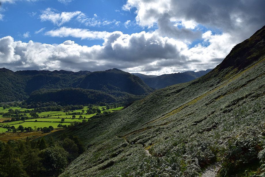
| Looking back to Grange Fell from the bridleway |
 |
| The popular path rising from the Brandelhow Jetty joins the bridleway |
 |
| Looking back along the bridleway |
 |
| Approaching the level shoulder |
 |
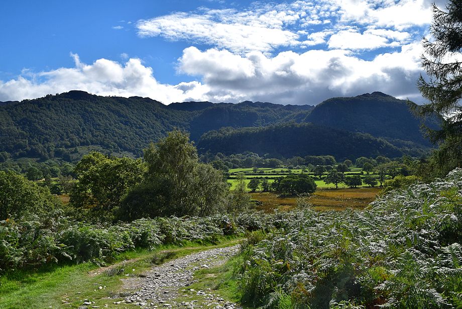
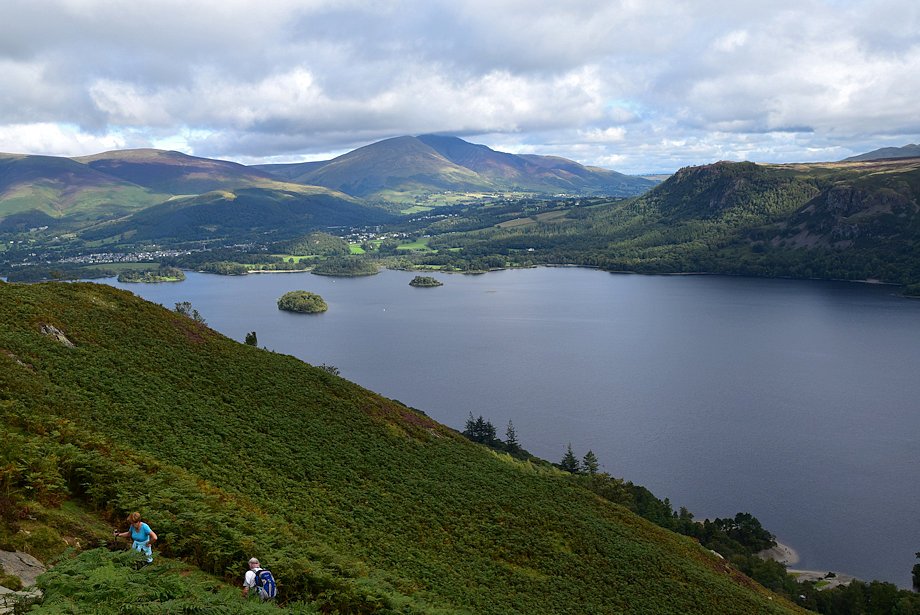
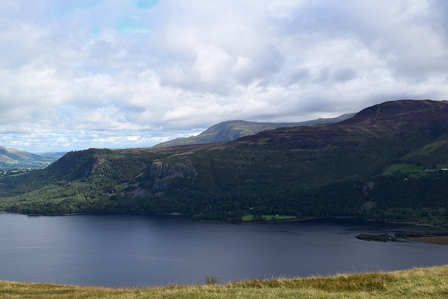
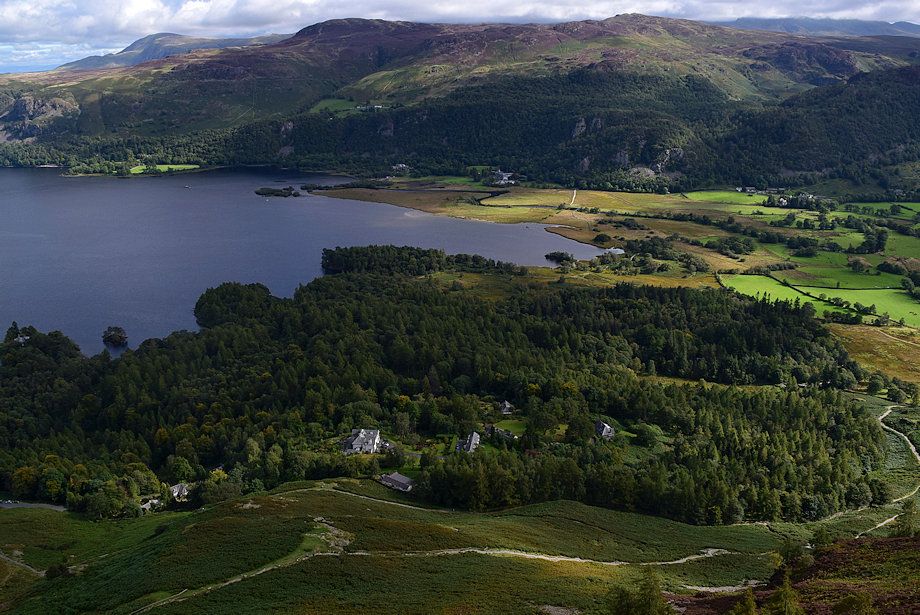
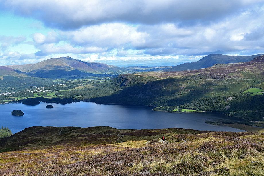
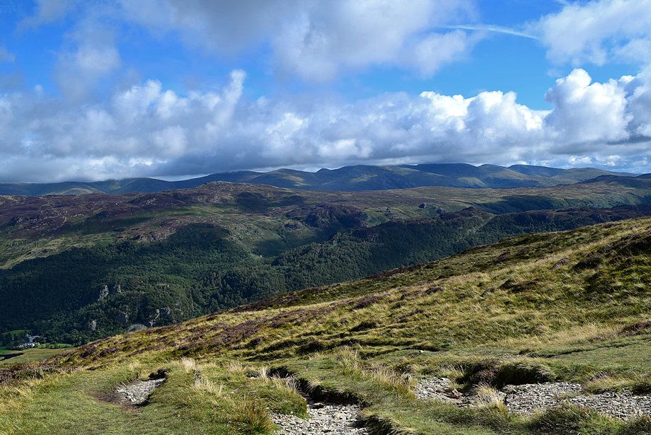
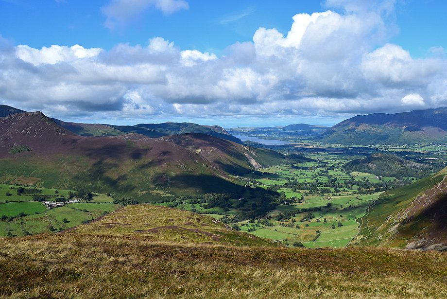
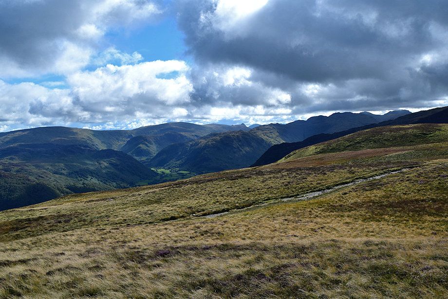
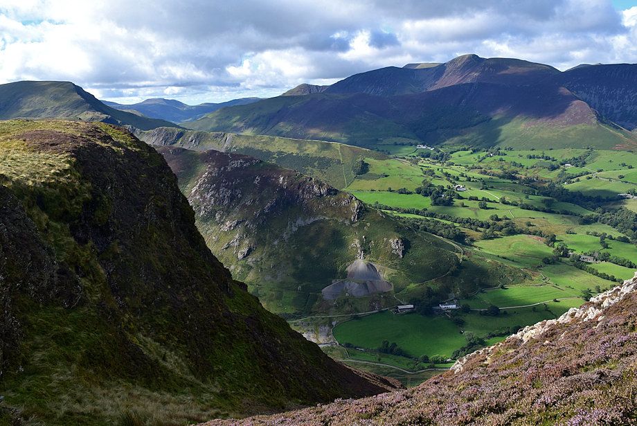
| Borrowdale from the level shoulder viewpoint |
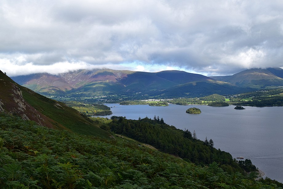 |
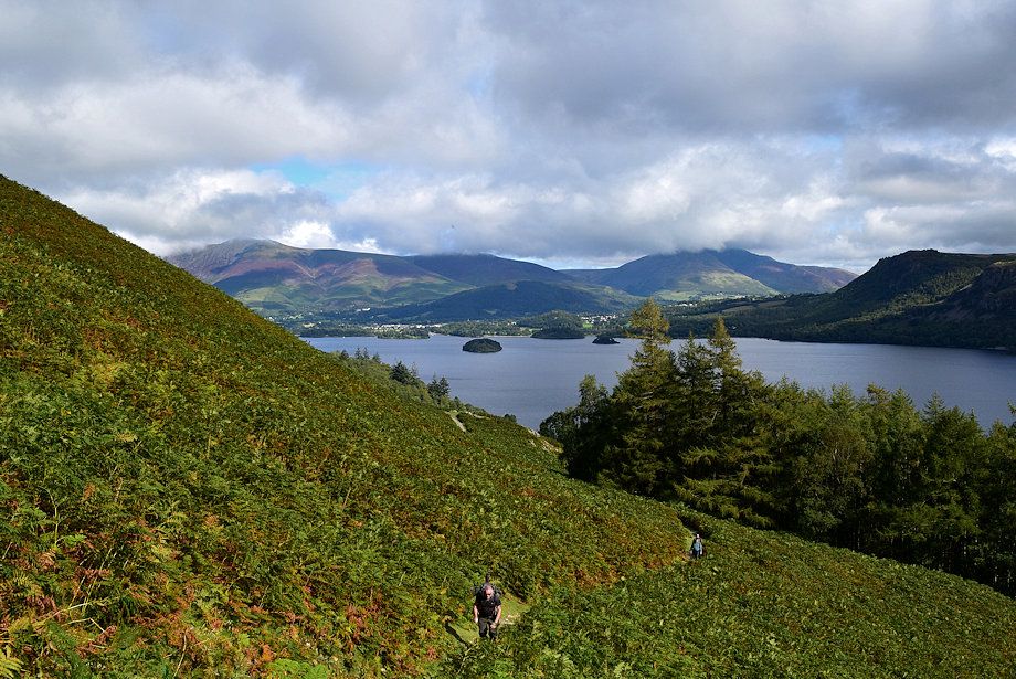
| Derwent Water from the level shoulder, the Keswick Launch can be seen approaching the Brandelhow Landing Stage |
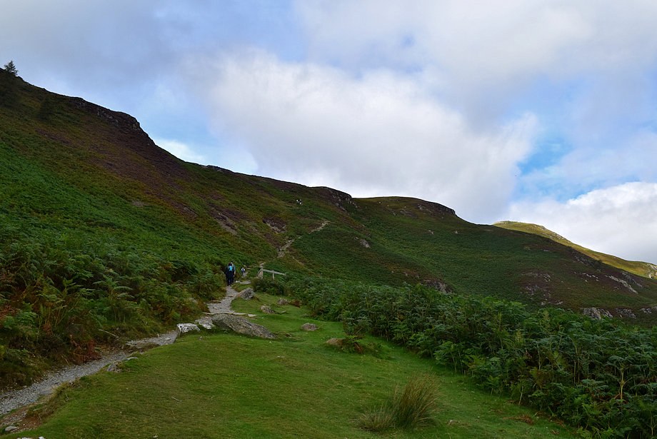 |
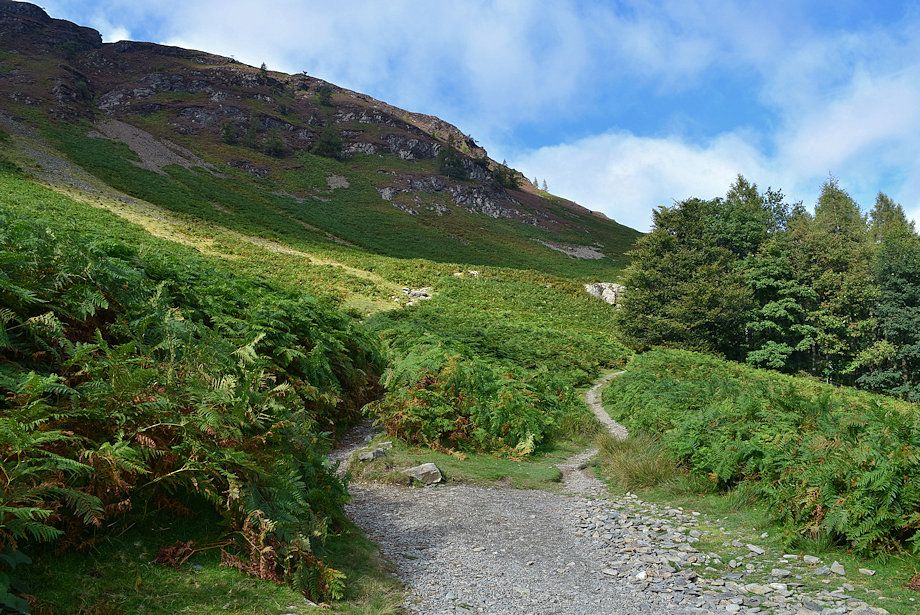
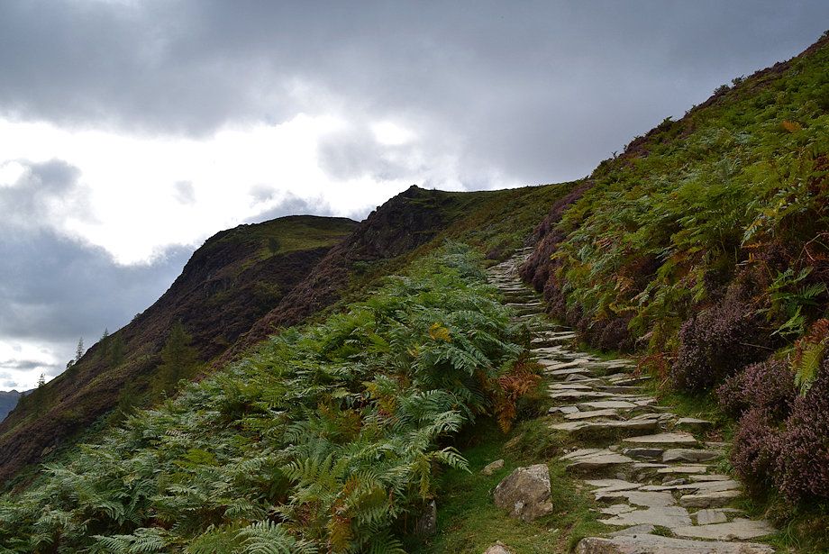
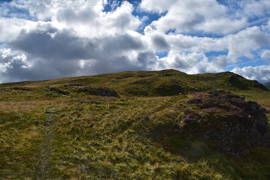
| The bridleway continues on climbing towards the ridgeline |
 |
| The bridleway steepens as it approaches the ridgeline before making an acute turn left to climb up to Hause Gate |
 |
| Looking back to the level shoulder in the centre of the photo |
 |
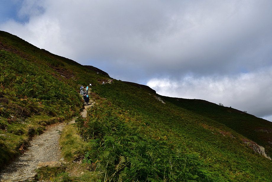
| The bridleway climbing up to Hause Gate |
 |
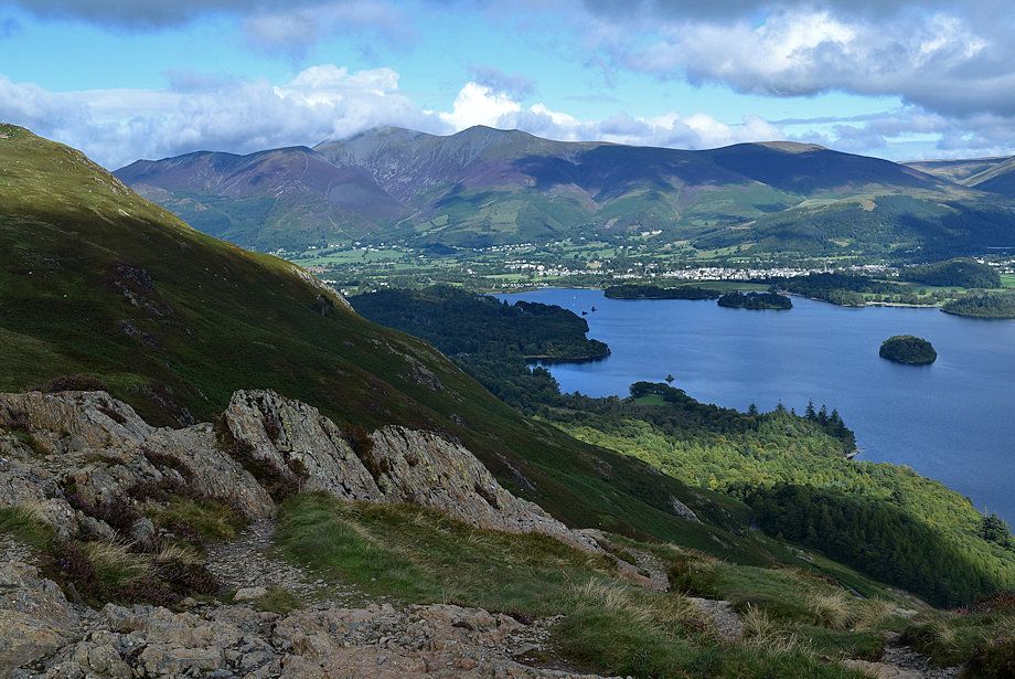
| Derwent Water and Blencathra from below Hause Gate |
 |
| Hause Gate |
 |
| Maiden Moor across Yewthwaite Combe from Hause Gate |
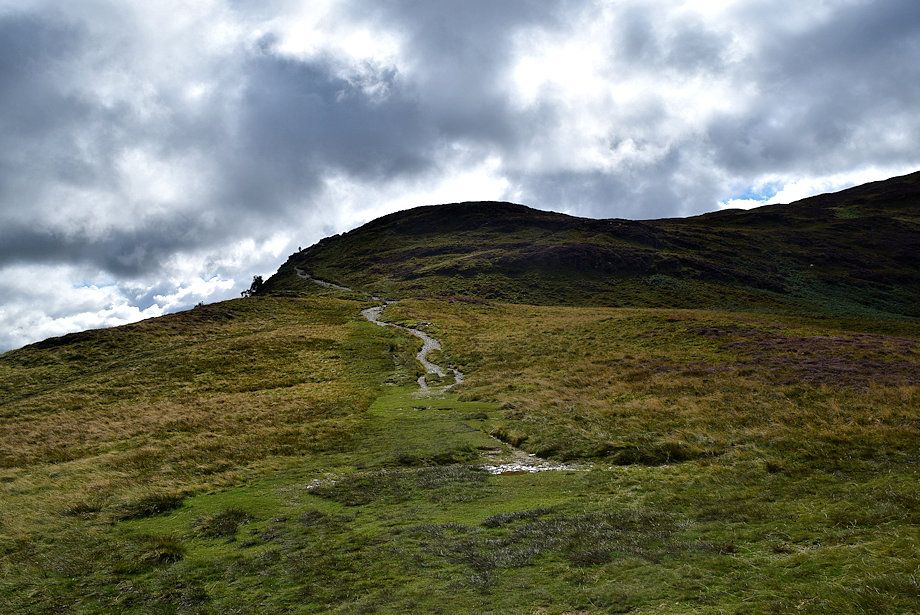 |
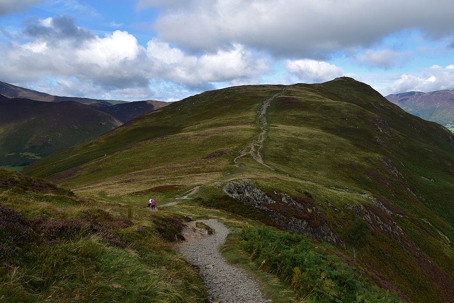
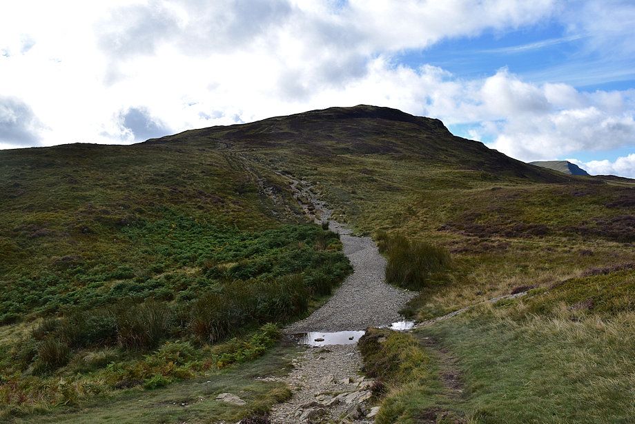
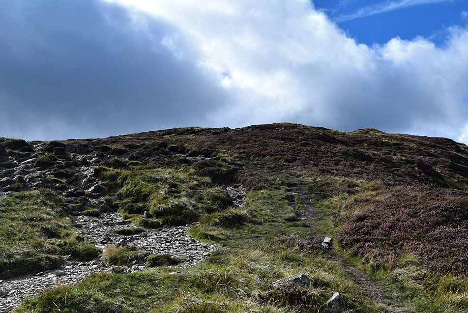
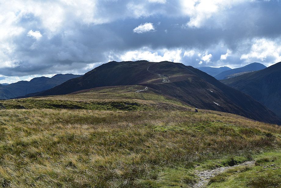
| The path leading up to Maiden Moor from Hause Gate |
 |
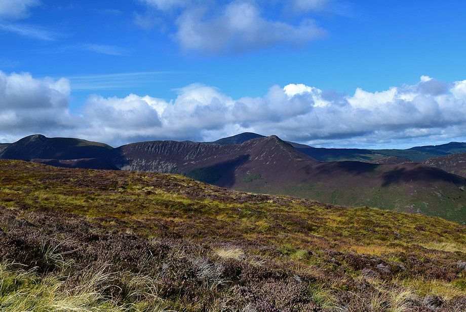
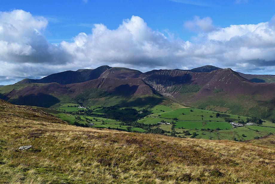
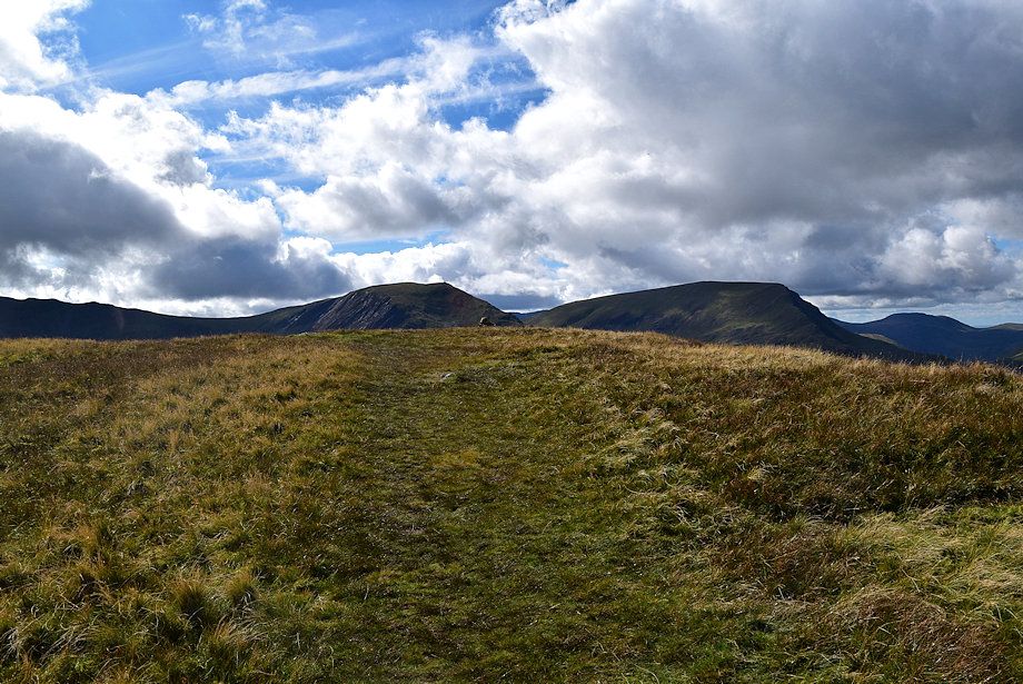
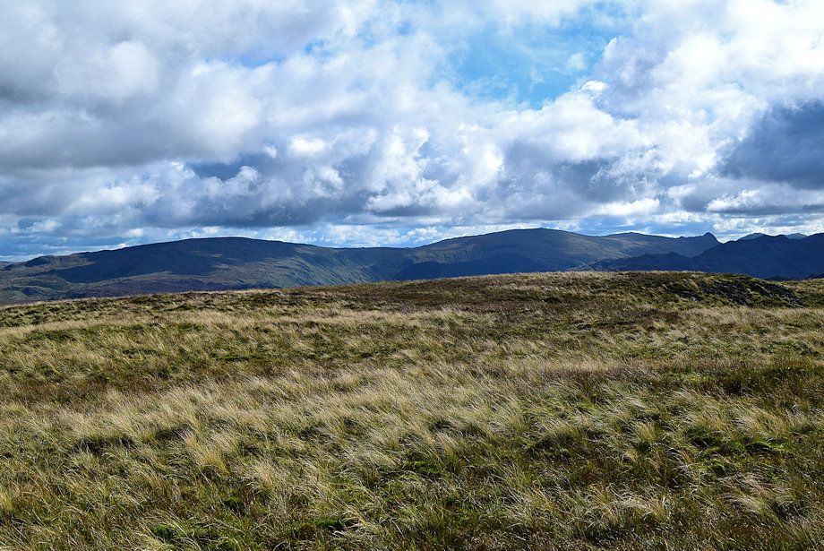
| Whiteless Pike, Wandope, Eel Crag, Sail, Scar Crags, Causey Pike and Gisedale Pike form the skyline from Hause Gate |
 |
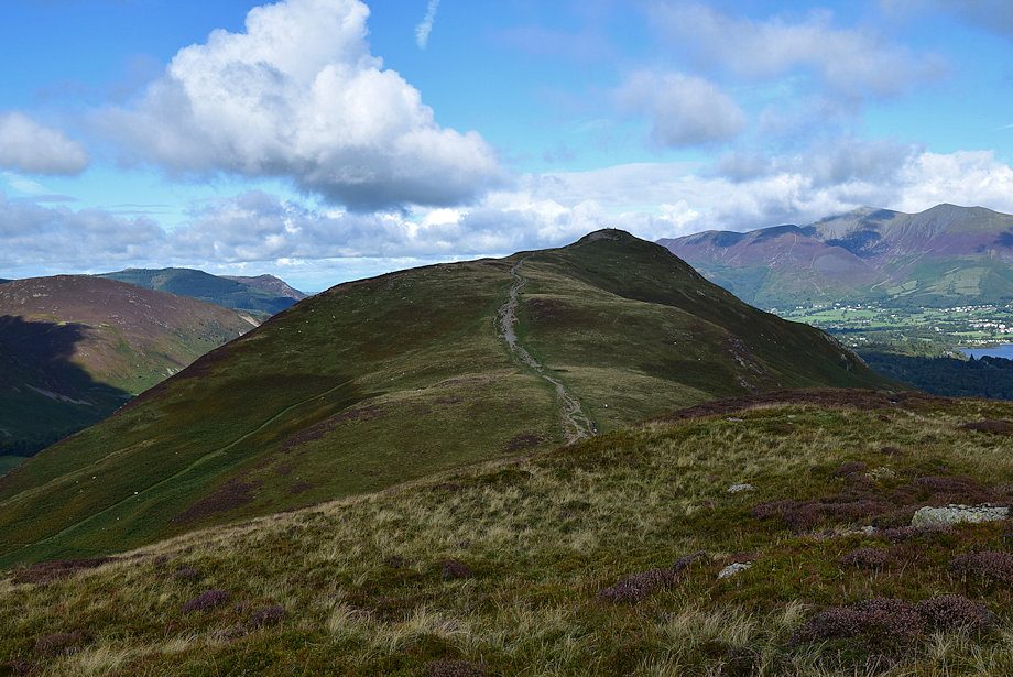
| Catbells from Hause Gate, the summit can bee seen right of centre |
 |
| Blencathra across Derwent Water from Hause Gate |
 |
| Walla Crag, Clough Head and Bleaberry Fell from Hause Gate |
 |
| High Seat from Hause Gate |
 |
| On the path to Maiden Moor which initially follows the edge of the escarpment above Black Crag |
 |
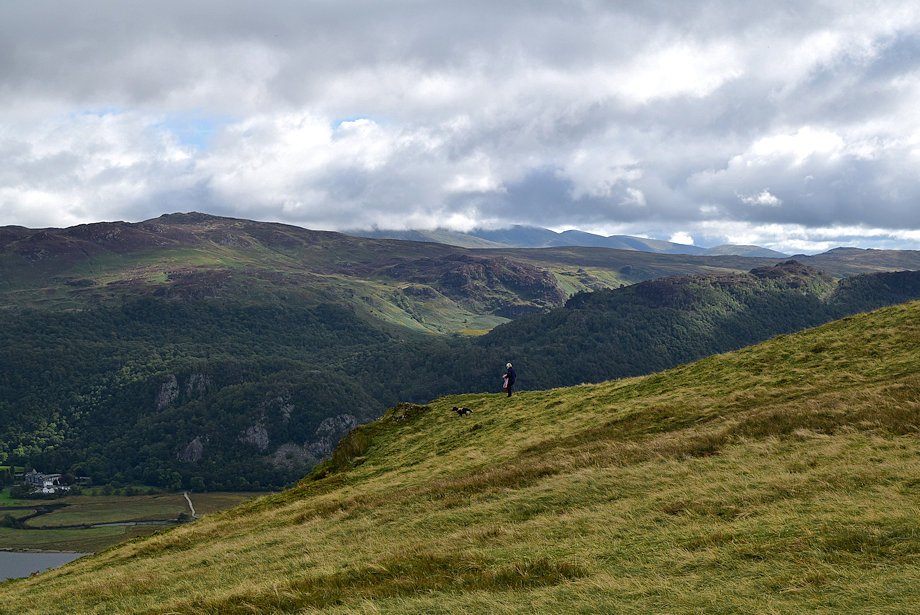
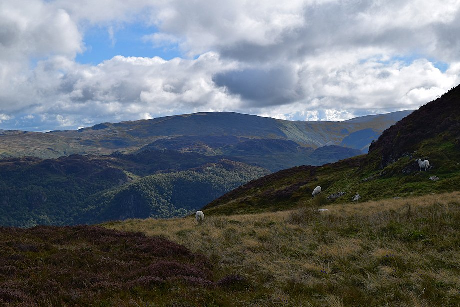
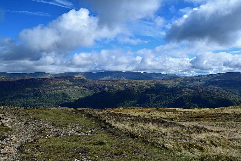
| Looking over towards High Seat |
 |
| The summit of Robinson appears over Maiden Moor's northwest ridge |
 |
| Looking back to Hause Gate from the path to Maiden Moor |
 |
| Looking over to Causey Pike |
 |
| Looking over to Ullscarf and High Raise |
 |
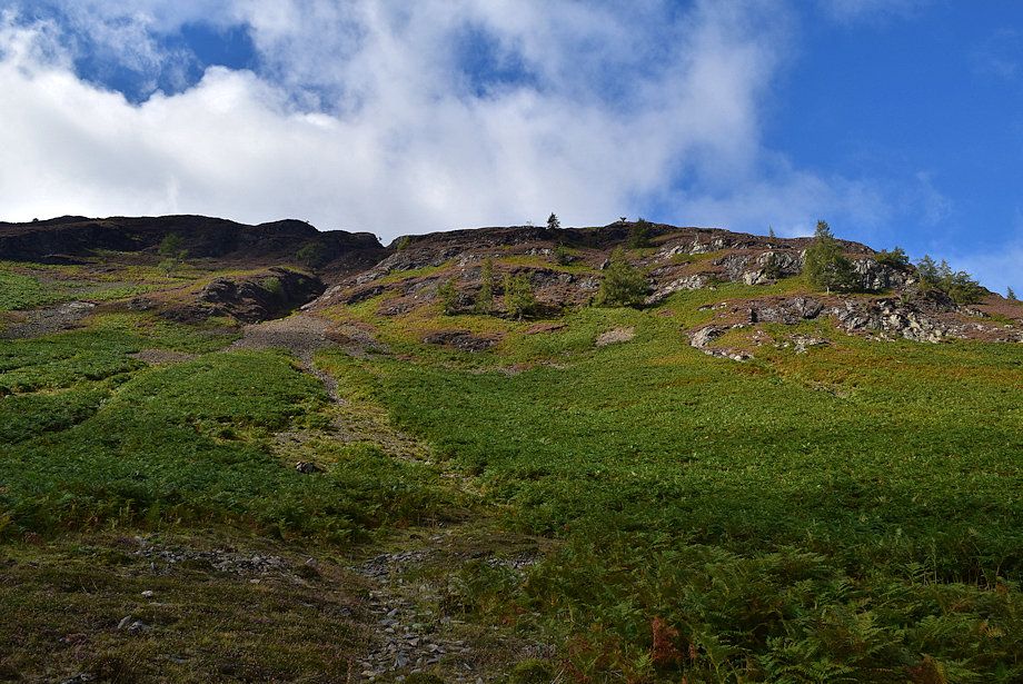
| Looking down on the ascent route |
 |
| Looking back to Skiddaw |
 |
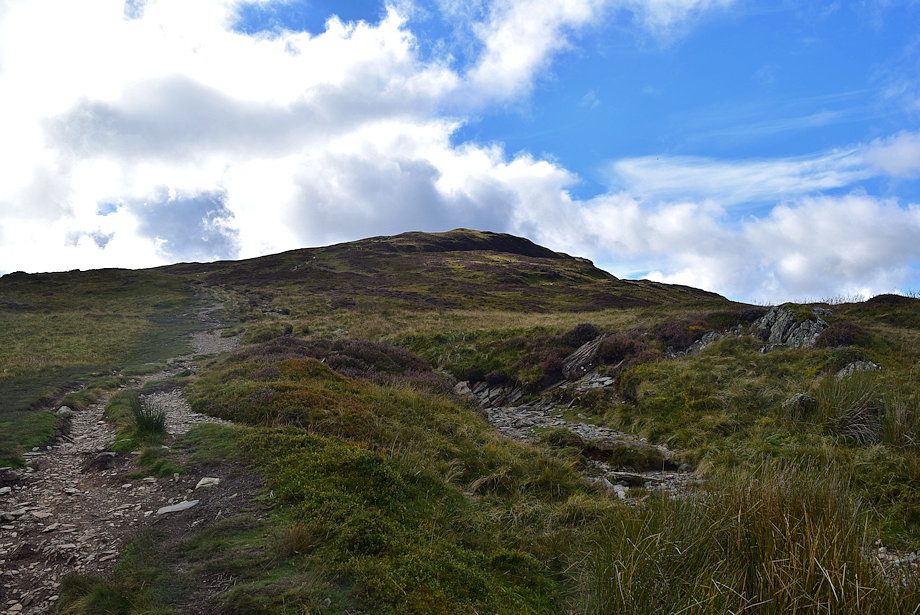
| The path turns to the south-west climbing to the summit ridge of Maiden Moor |
 |
| Wandope, Eel Crag, Sail and Ard Crags above High Crag and Knott End on the left with Scar Crags and Causey Pike in the centre |
 |
| Looking across Yewthwaite Combe, the summits of Robinson, Great Borne and Whiteless Pike appear over Maiden Moor's north-west ridge |
 |
| Looking back to Catbells |
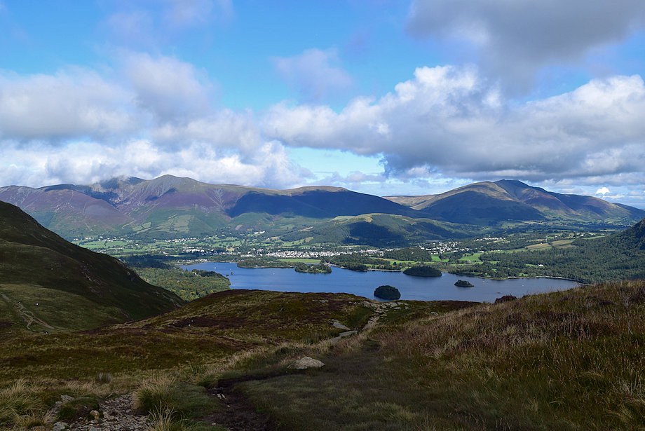 |
| Looking back to Derwent Water |
 |
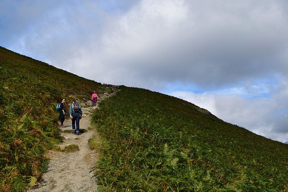
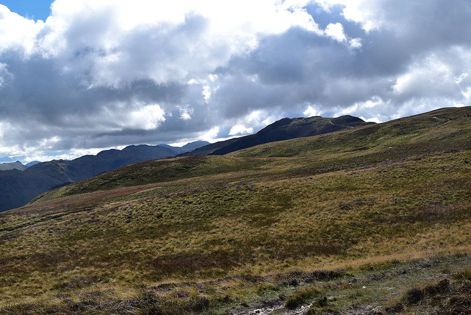
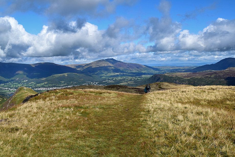
| The path is well worn being part of the popular Newlands Horseshoe |
 |
| The Whinlatter Fells of Lord's Seat and Barf appear over Barrow |
 |
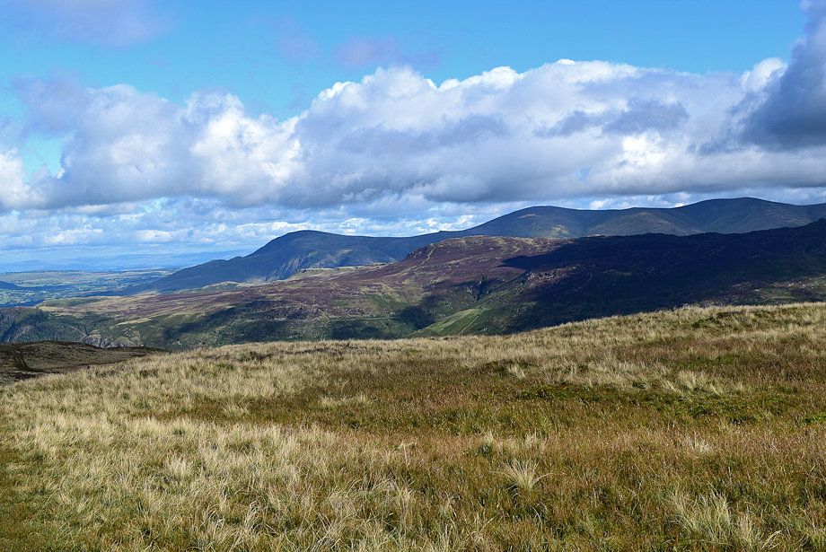
| Looking over towards Ullscarf |
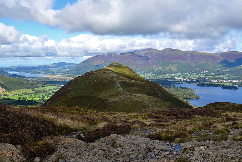 |
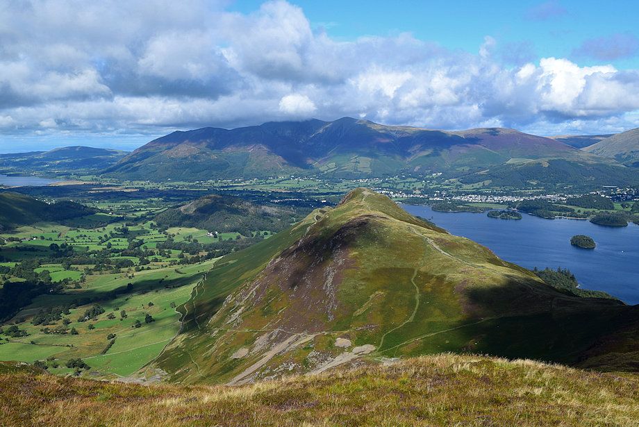
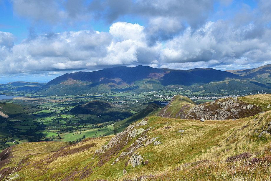
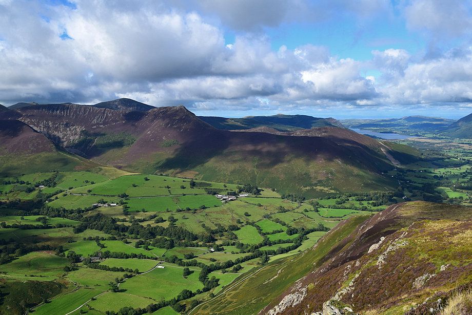
| Catbells flanked by Bassenthwaite Lake and Derwent Water |
 |
| Looking back towards Lonscale Fell, Blencathra, and Walla Crag |
 |
| Scar Crags, Grisedale Pike, Causey Pike, Lord's Seat and Barf form the horizon |
 |
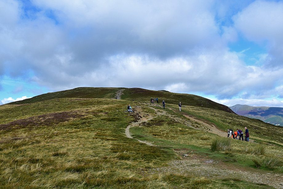
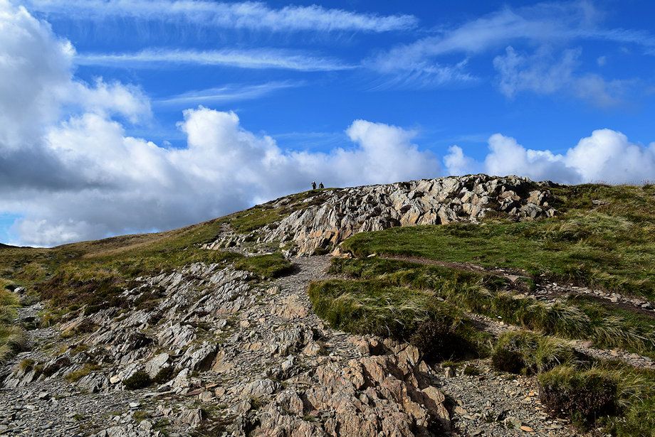
| Approaching the summit ridge |
 |
| Looking back to Derwent Water from just below the summit ridge |
 |
| Looking over to Eel Crag, Sail, Scar Crags, Grisedale Pike and Causey Pike from just below the summit ridge |
 |
| The Helvellyn range over the High Seat ~ High Tove ridge |
 |
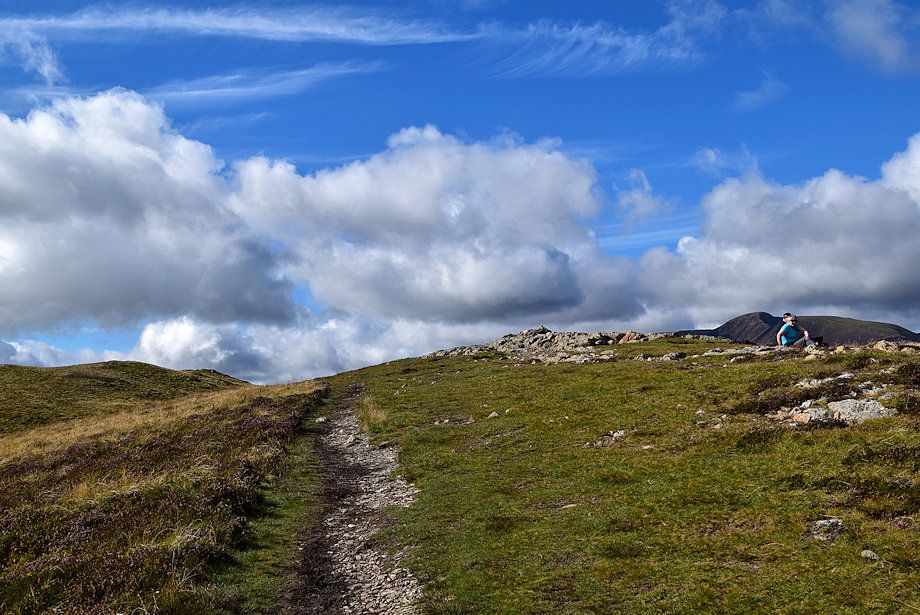
| Approaching the top of the north-west ridge which provides the best viewpoint on Maiden Moor |
 |
| The top of the north-west ridge |
 |
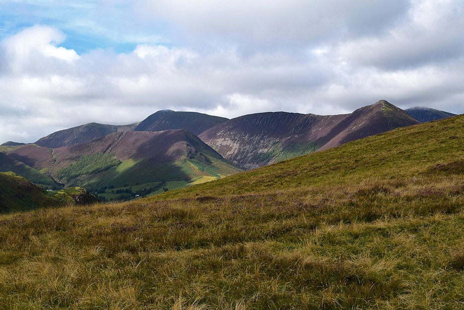
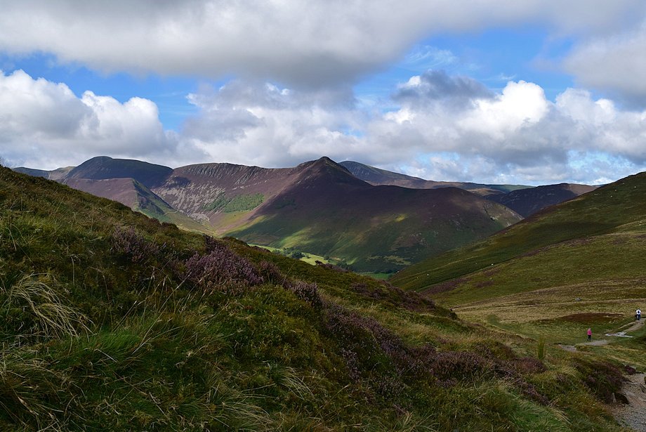
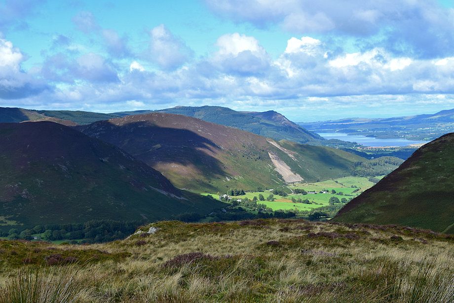
| The Coledale Fells across the Newlands Valley |
 |
| Bassenthwaite Lake from the top of the north-west ridge |
 |
| Skiddaw and Catbells from the top of the north-west ridge |
 |
| Blencathra and Derwent Water from the top of the north-west ridge |
 |
| Clough Head, Great Dodd, Watson's Dodd, Stybarrow Dodd and Raise over the Bleaberry Fell ~ High Seat ridge |
 |
| The Helvellyn range from the top of the north-west ridge |
 |
| Ullscarf, High Raise, Pike o' Stickle and Glaramara from the top of the north-west ridge |
 |
| High Spy from the north-west top |
 |
| The summit of Maiden Moor from the north-west top. The main path avoids the summit so bear right and follow the path along the escarpment edge |
 |
| The upper Newlands Valley from Bull Crag |
 |
| The summit of Maiden Moor from the top of Bull Crag |
 |
| Approaching the summit of Maiden Moor |
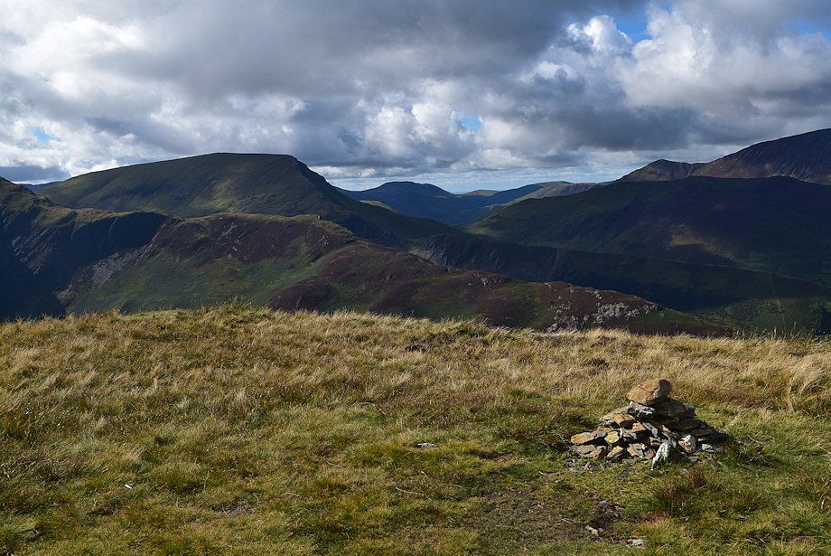 |
| The summit cairn on Maiden Moor |
 |
| Skiddaw from the summit of Maiden Moor |
 |
| Blencathra from the summit of Maiden Moor |
 |
| Clough Head, Great Dodd and Stybarrow Dodd over Bleaberry Fell from the summit of Maiden Moor |
 |
| The Helvellyn range from the summt of Maiden Moor |
 |
| Ullscarf, High Raise, Thunacar Knott and Pike o' Stickle from the summit of Maiden Moor |
 |
| The connecting ridge to High Spy |
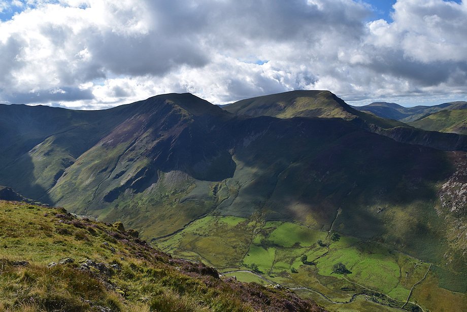 |
| Hindscarth, Robinson and Great Borne from the summit of Maiden Moor |
 |
| Whiteless Pike, Wandope, Grasmoor, Eel Crag, Sail, Hopegill Head, Scar Crags and Grisedale Pike from the summit of Maiden Moor |
 |
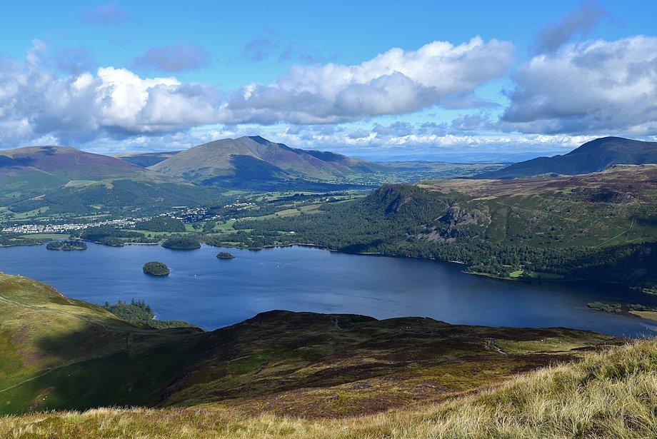
| Bassenthwaite Lake from the summit of Maiden Moor |
