 |
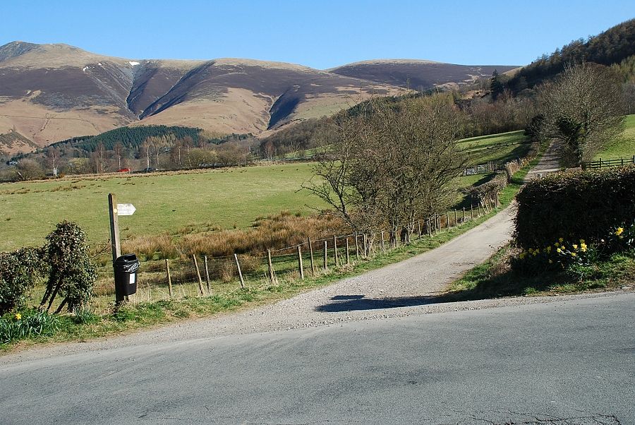
| Spooney Green Lane at the start of the walk. Lonscale Fell can be seen right of centre |
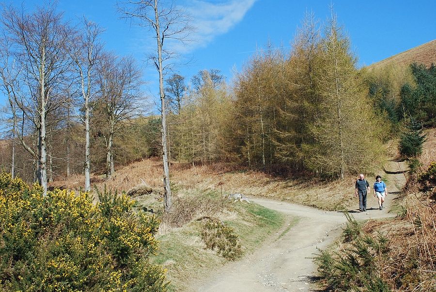 |
| Past Spooney Green house the lane enters Latrigg Wood |
 |
| Leaving Latrigg Wood via the top gate and continuing along the track around the side of Mallen Dodd |
 |
| Looking back to Derwent Water from the gate above Latrigg Wood |
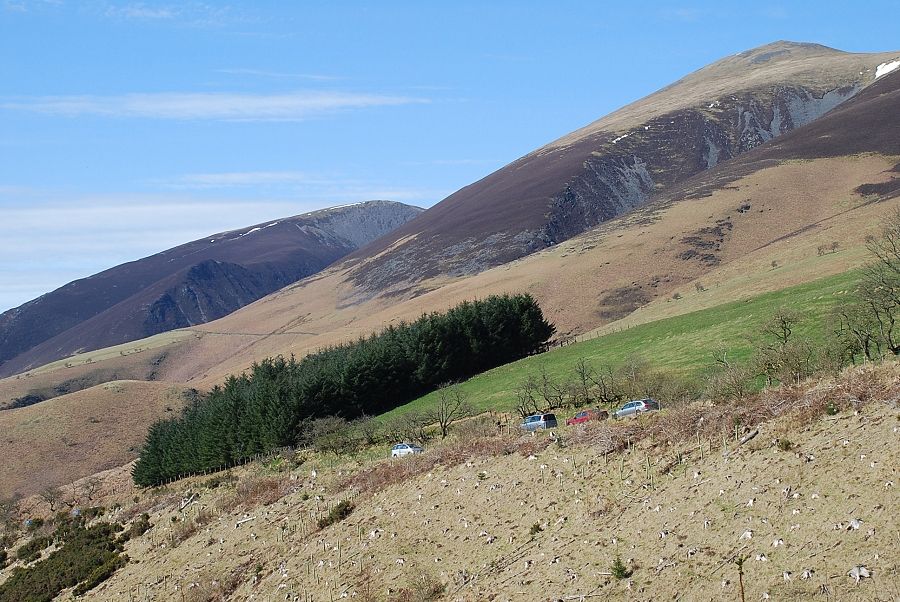 |
| Carl Side and Skiddaw Little Man from the track alongside Mallen Dodd |
 |
| Nearing the car park at the end of Gale Road. This provides an alternative start for the walk, but it is nearly always very busy and congested |
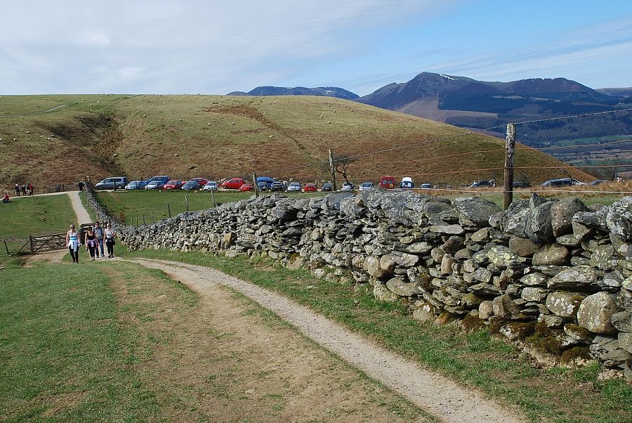 |
| Looking back to the car park at the end of Gale Road |
 |
| The way ahead from the car park along the path to Skiddaw with Lonscale Fell on the left and Blease Fell on the right |
 |
| The main path continues on to Skiddaw from a gate at the end of an enclosure. The path to Lonscale Fell begins to descend towards Whit Beck |
 |
| Descending to Whit Beck, the main path to Skiddaw can be seen on the left climbing the steep slope of Jenkin Hill |
 |
| Looking back to the Helvellyn range from the path to Whit Beck |
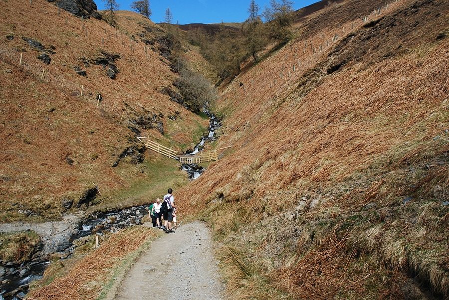 |
| Whit Beck |
 |
| The path on from Whit Beck begins a gradual climb along the southern flank of Lonscale Fell towards the Glenderaterra Valley |
 |
| Looking back to Jenkin Hill from the path above Whit Beck |
 |
| The North Western Fells from the path which gives fine views to the south |
 |
| The view ahead is dominated by Blease Fell, the western end of Blencathra, as the path approaches the Glenderaterra Valley |
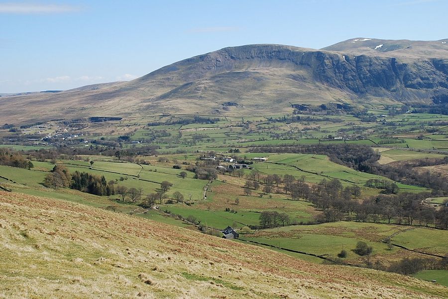 |
| Clough Head and Great Dodd |
 |
| High Rigg and Helvellyn |
 |
| A gate and stile mark the turn of the path above the Glenderaterra Beck |
 |
| The usual way to climb Lonscale Fell is to simply follow the fence up from the gate, a dull ascent |
 |
| The view back from the gate to Derwent Water |
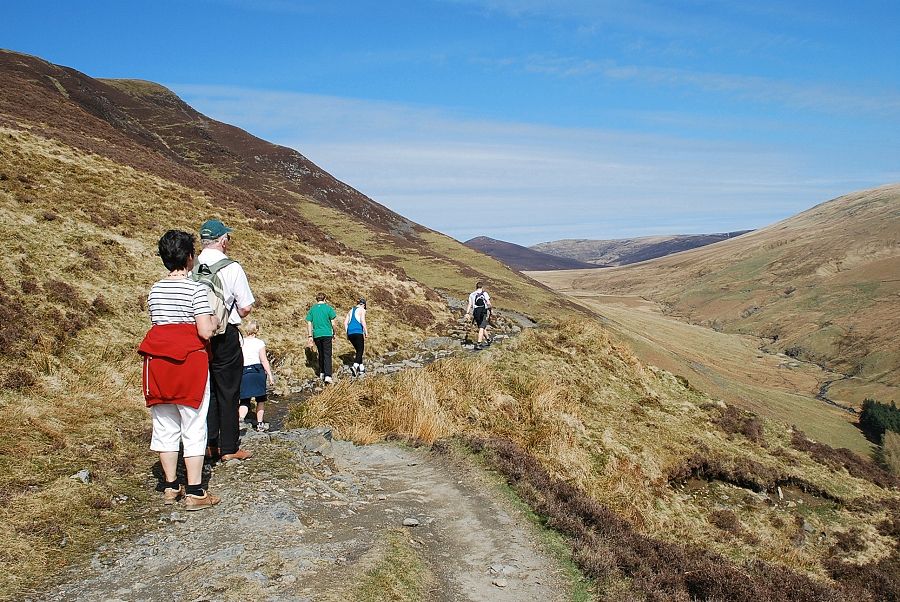 |
| Lonscale Fell's east ridge comes into view on the left skyline |
 |
| The path traverses below Lonscale Crags |
 |
| Looking back to High Rigg and Helvellyn |
 |
| The upper part of the Glenderaterra Beck |
 |
| Looking back to Clough Head and Great Dodd |
 |
| The path forms part of the Cumbria Way, a seventy mile long route between Ulverston and Carlisle |
 |
| Another look back to Helvellyn |
 |
| Approaching the foot of the east ridge |
 |
| Great Calva and Knott from the foot of the east ridge |
 |
| Looking along the Glenderaterra Valley on the climb up the east ridge |
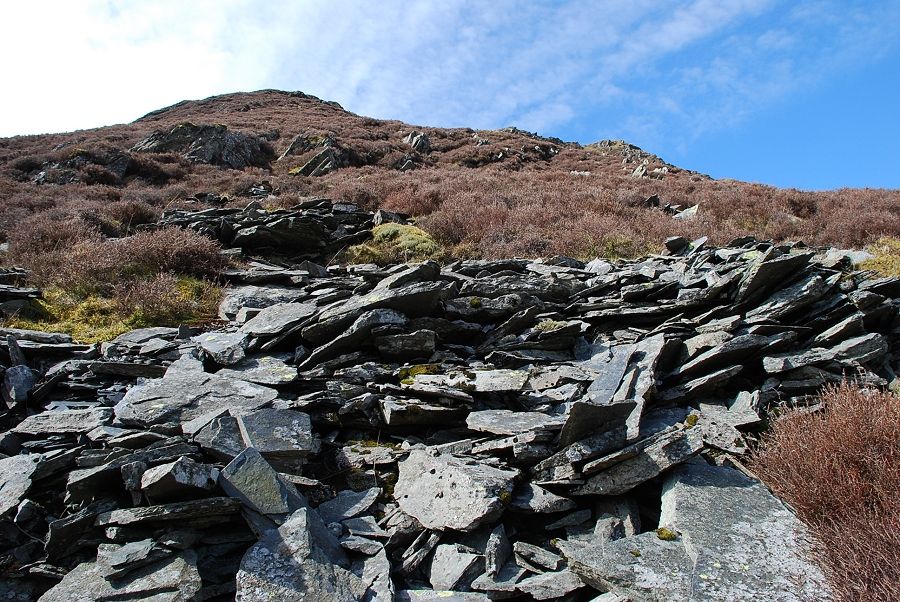 |
| Looking up the lower part of the east ridge, there is no path amongst the scree and heather |
 |
| Looking north to Great Calva and Knott beyond the headwaters of the Glenderaterra |
 |
| Midway up the east ridge, the summit of the east peak of Lonscale Fell is on the right |
 |
| Helvellyn and a glimpse of Thirlmere from the half way point on the ridge |
 |
| The upper part of the ridge |
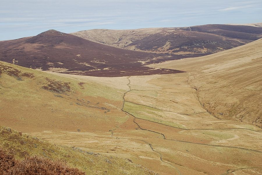 |
| Great Calva and Knott above the Caldew Valley |
 |
| The last steep section of the ridge |
 |
| Looking down the ridge to the Glenderaterra Valley |
 |
| A bit more of Thirlmere is visible now near the end of the climb |
 |
| Near the top of the east ridge, the adjacent ridge of the north east buttress leading to the east top is on the right |
 |
| Looking down the east ridge from the top of the north east buttress the Glenderaterra Beck is 1,500 feet below |
 |
| From the east peak the actual summit of Lonscale Fell is about quarter of a mile to the south west across a shallow depression |
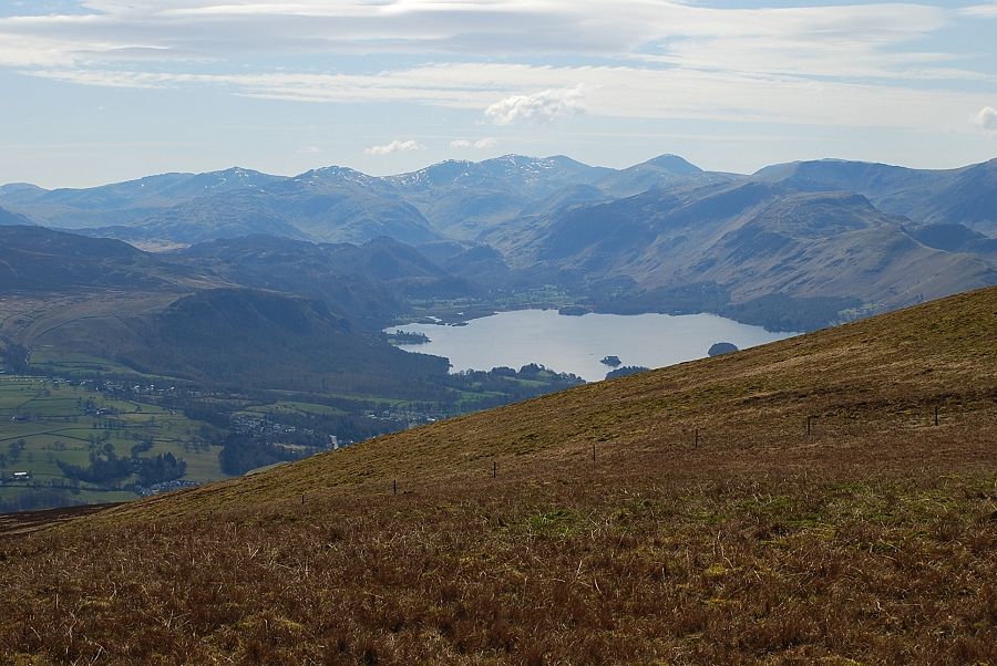 |
| Derwent Water from the east peak |
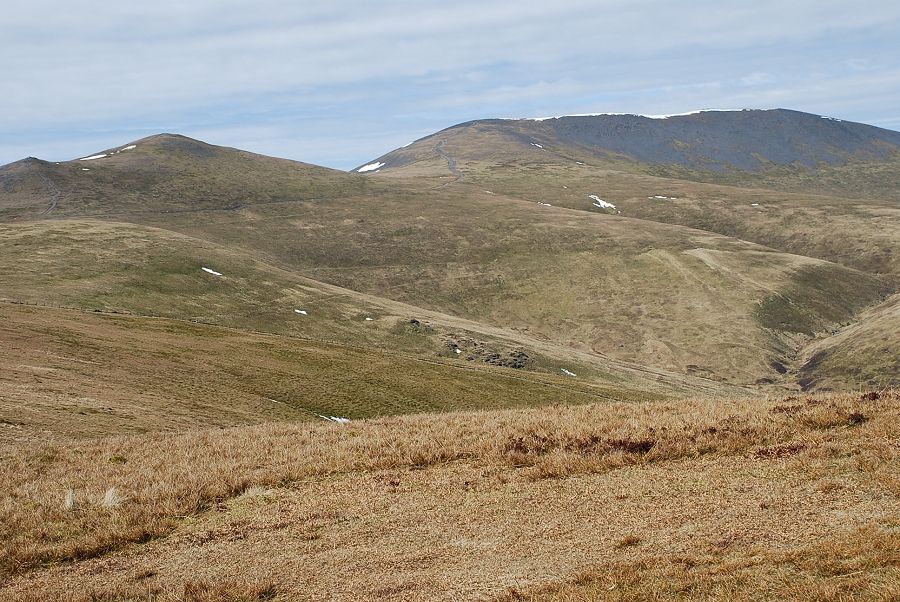 |
| Skiddaw Little Man and Skiddaw from the east peak |
 |
| Looking over the curved ridge of Burnt Horse to Great Calva and Knott from the east peak |
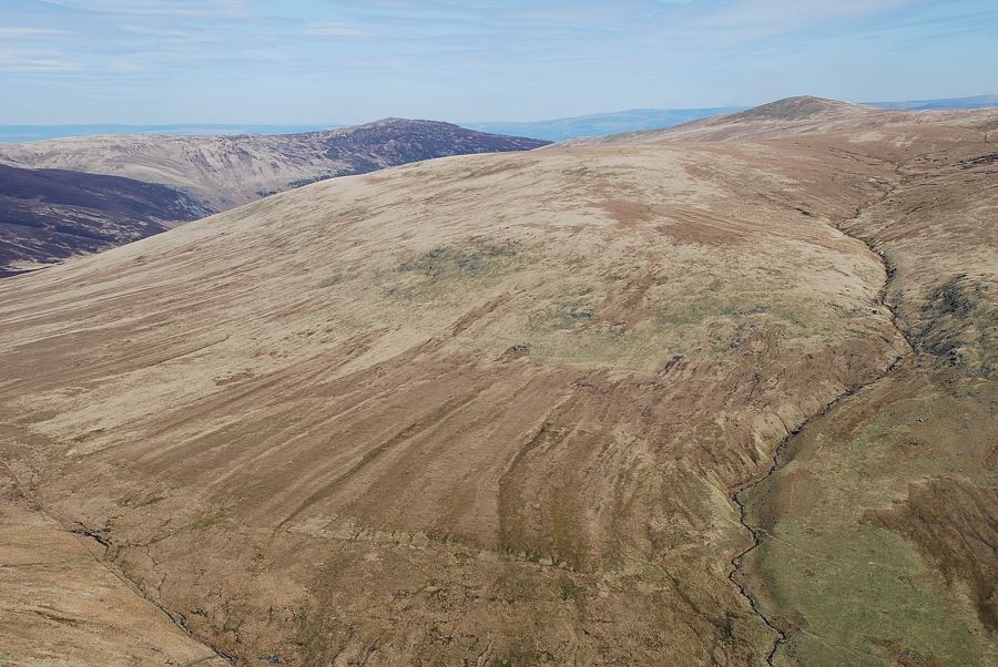 |
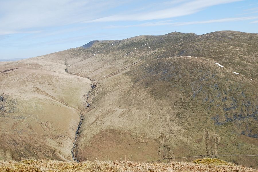
| Carrock Fell over Mungrisdale Common with Bowscale Fell on the right |
 |
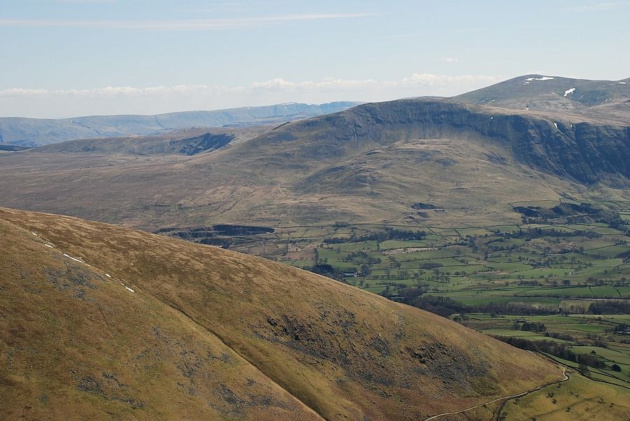
| Blencathra from the east peak |
 |
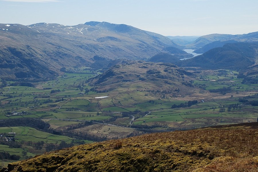
| Looking across the slopes of Blease Fell to Clough Head and Great Dodd |
 |
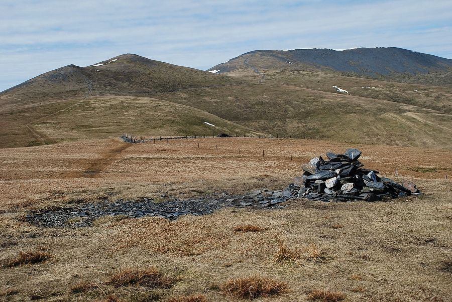
| Thirlmere from the east peak |
 |
| The summit of Lonscale Fell |
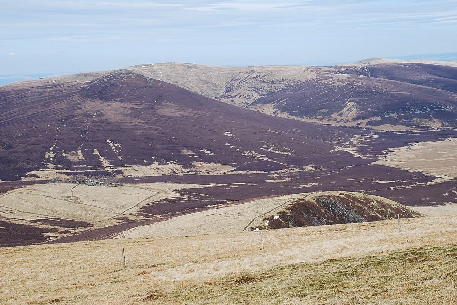 |
| Looking across the upper Caldew Valley to Great Calva, Knott and High Pike from the summit of Lonscale Fell |
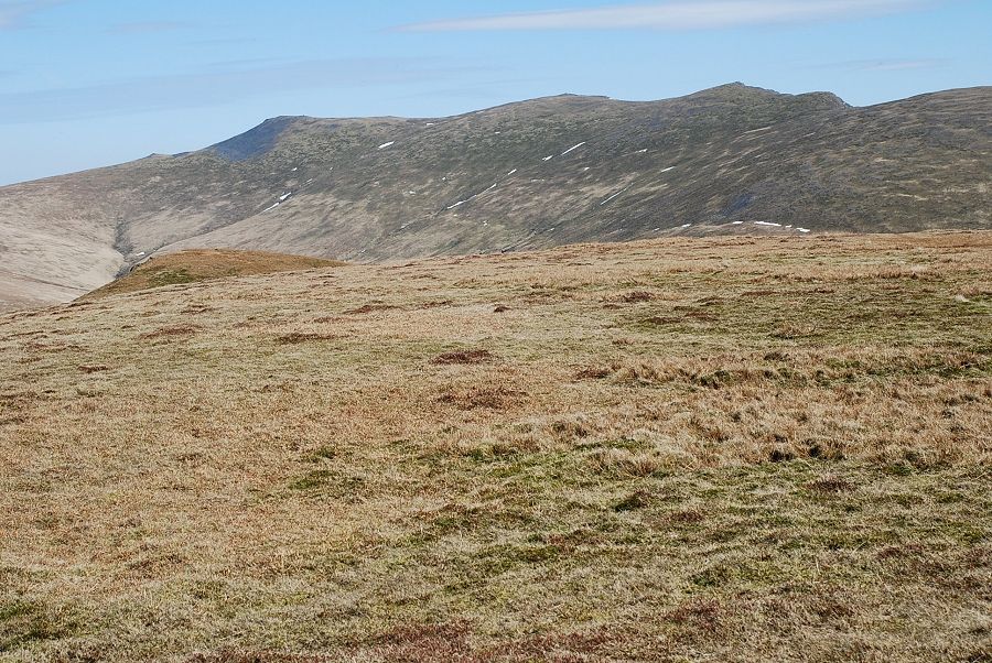 |
| Blencathra from the summit, the east peak of Lonscale Fell is on the left foreground |
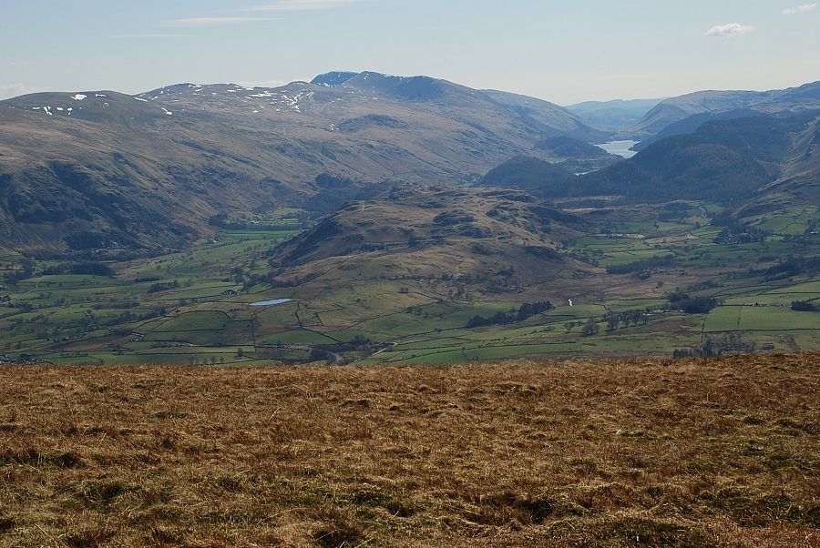 |
| Helvellyn and Thirlmere from the summit of Lonscale Fell |
 |
| The Central Fells from Lonscale Fell |
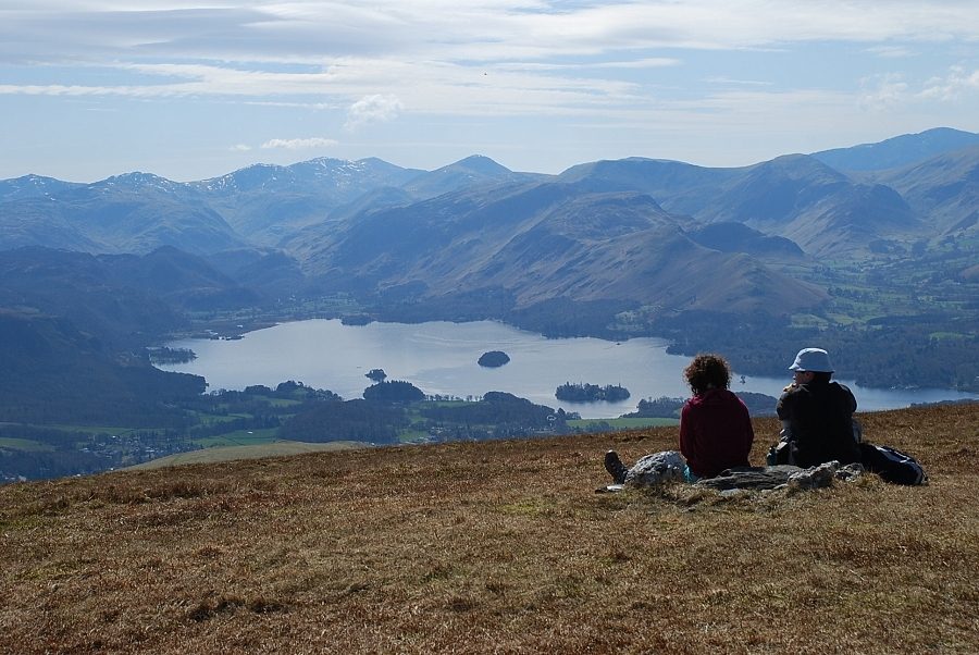 |
| Derwent Water |
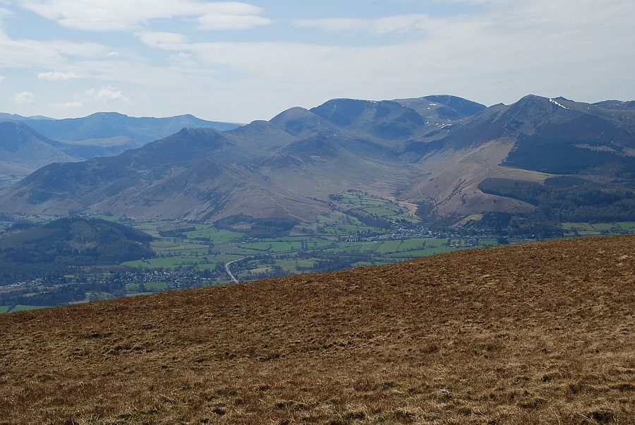 |
| The North Western Fells |


