 |
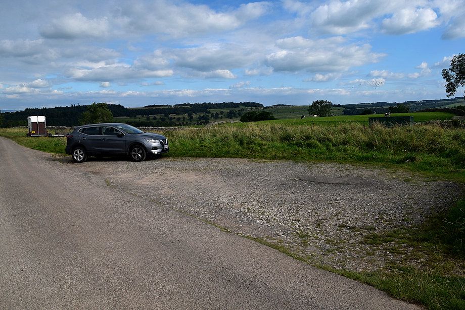
| The walk starts from the end of the public road, a third of mile west from the centre of Askam village, where there is a small parking area |
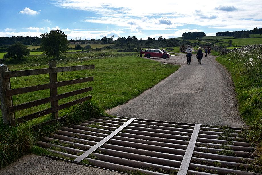 |
| There is also a space beyond the cattle grid, but be aware that this is used as a turning area for farm vehicles and lorries |
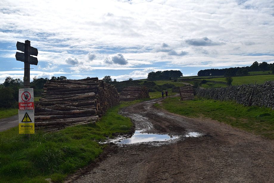 |
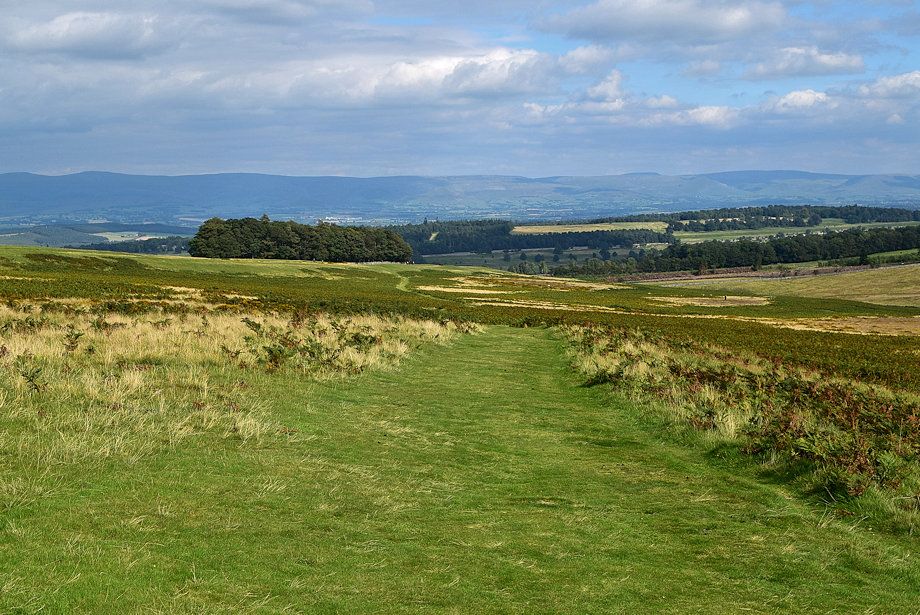
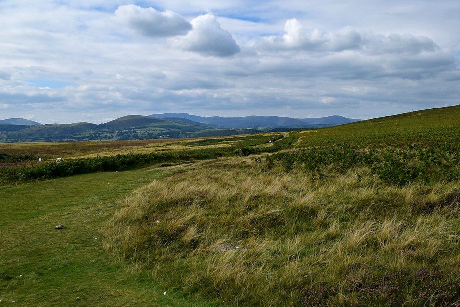
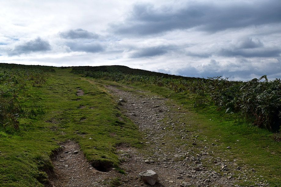
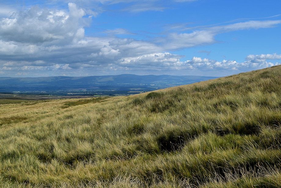
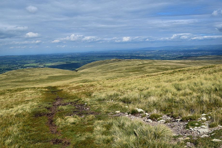
| Beyond the turning area a rough bridleway track continues along Don Bottom |
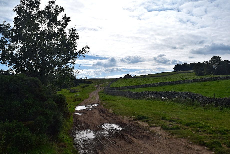 |
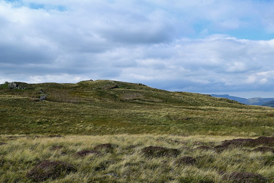
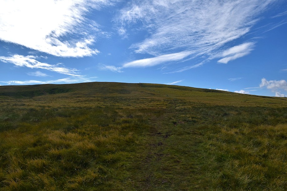
| The bridleway track begins to rise gently over Haber Hill towards a hipped roof barn |
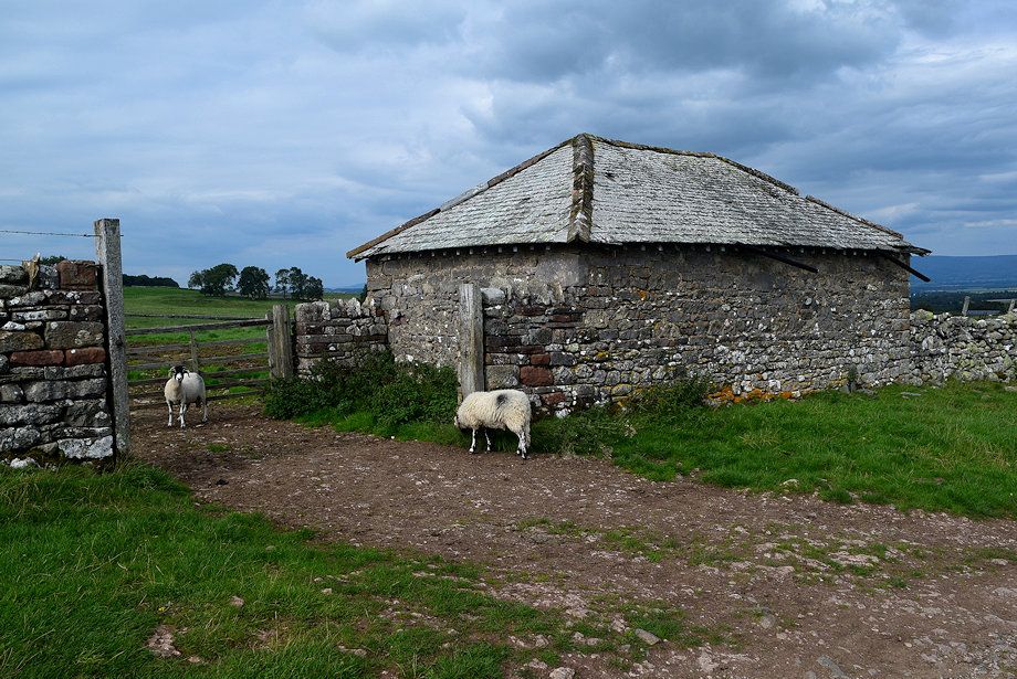 |
| Passing the hipped roof barn |
 |
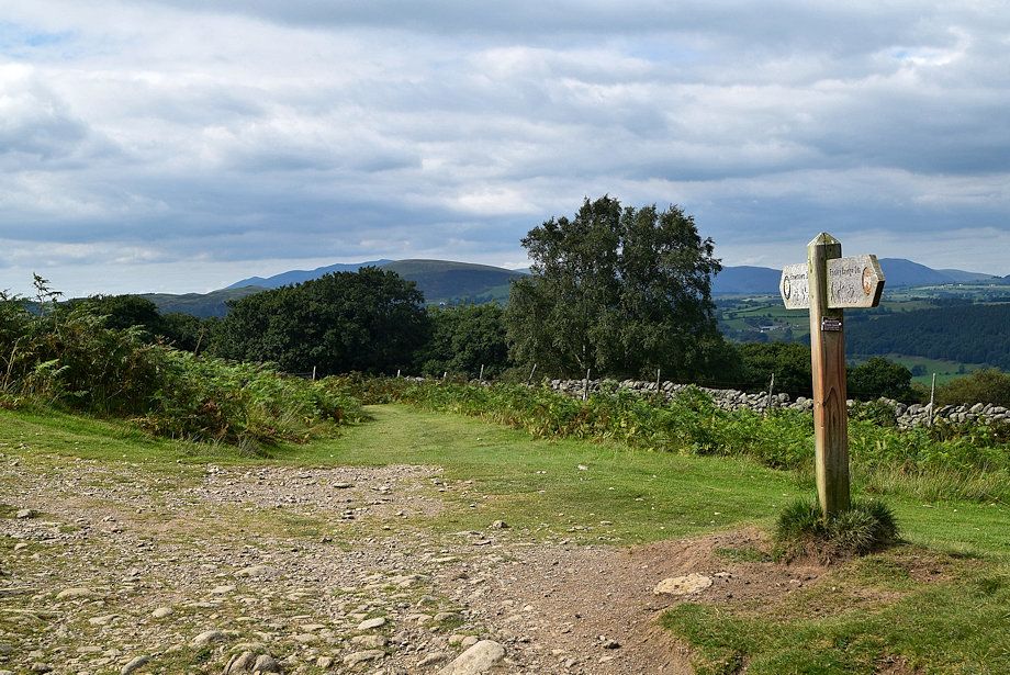
| Beyond the barn a broad green path leads up to a gate in the field wall beside Coachclose Plantation which gives access to the open fellside |
 |
| Looking back from the field gate |
 |
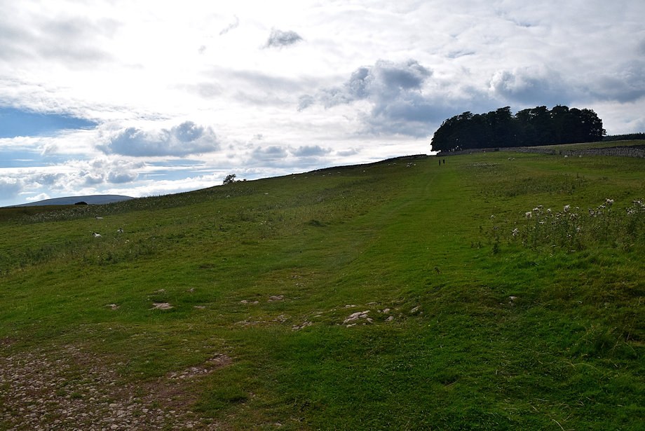
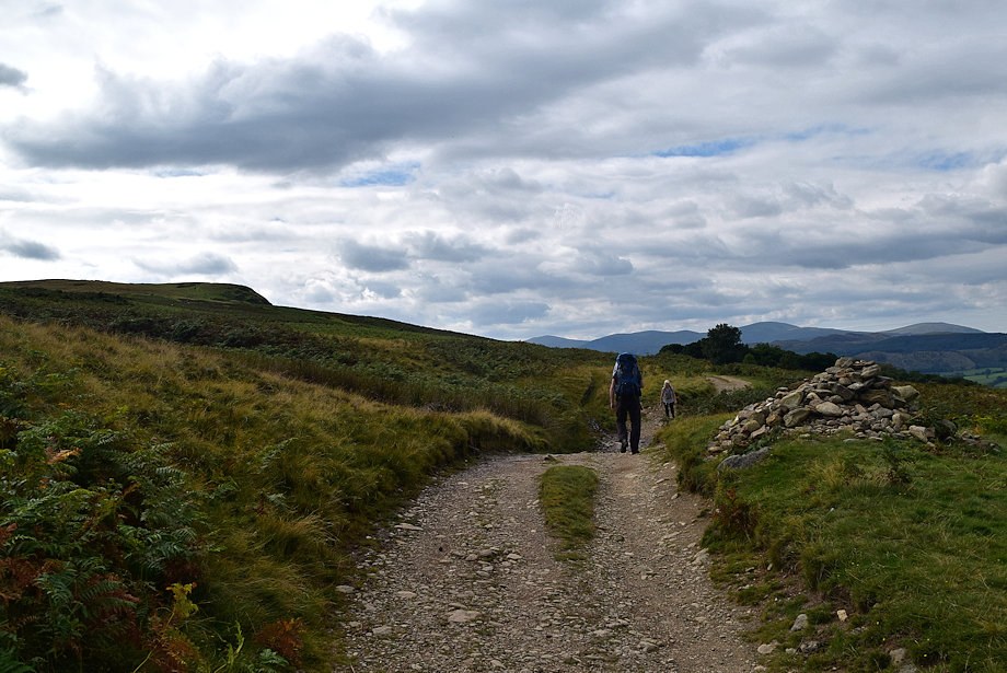
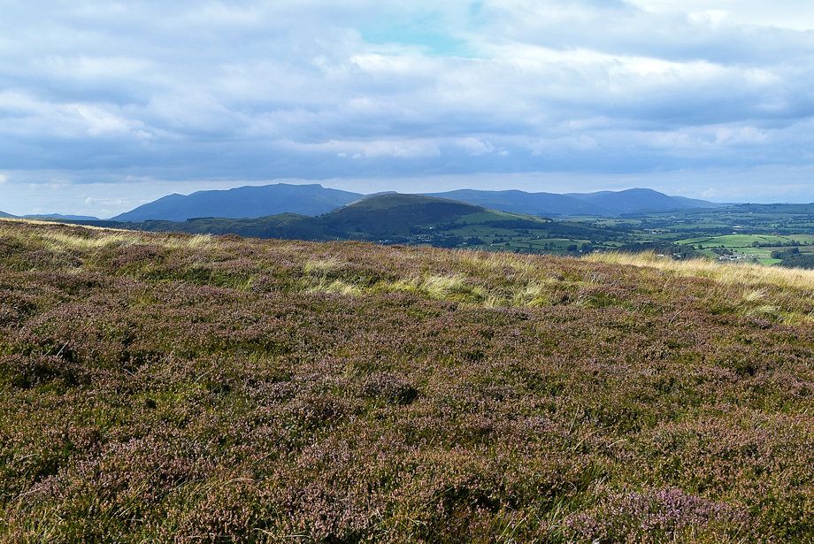
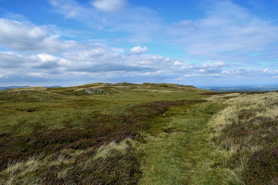
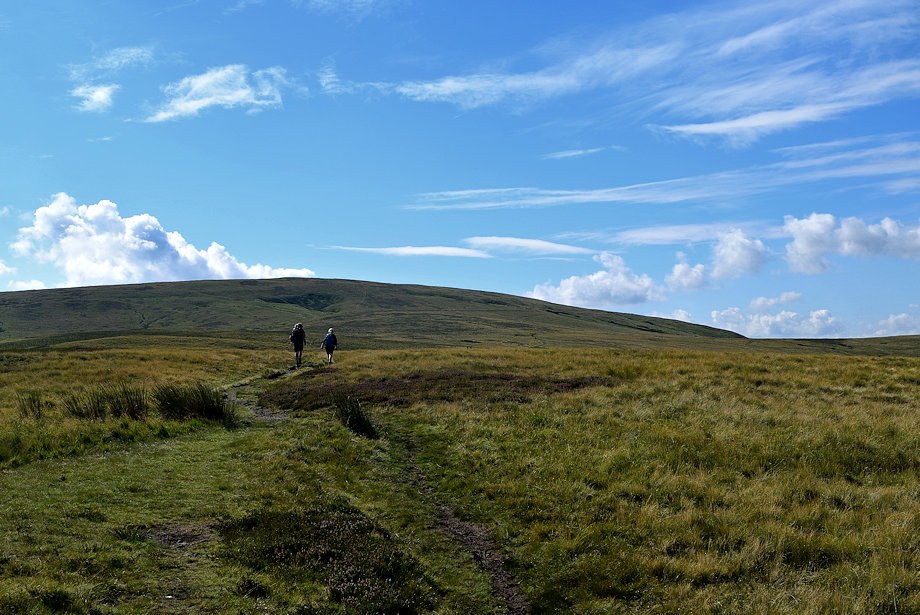
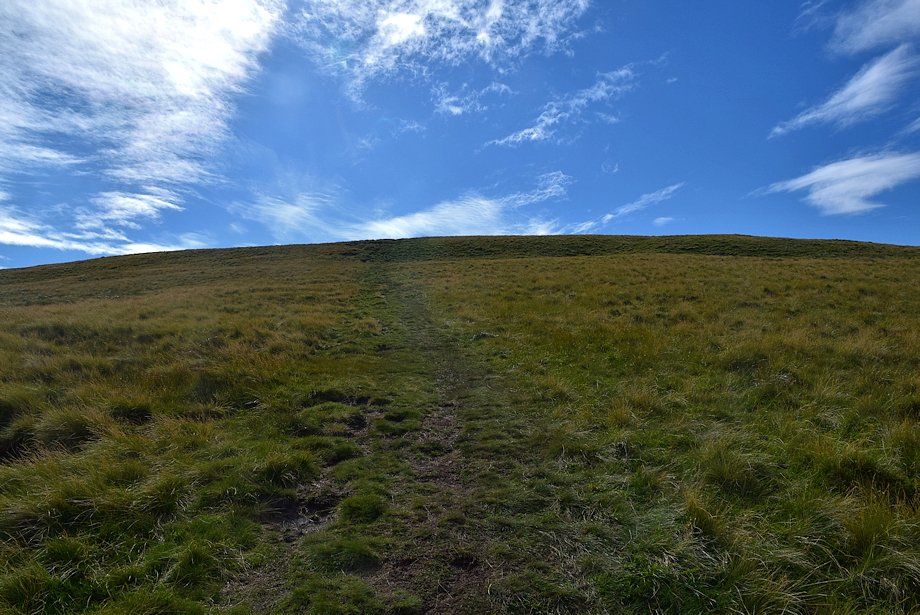
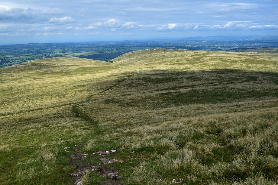
| Continue along the green path which climbs towards the edge of Winder Plantation and Heughscar Hill |
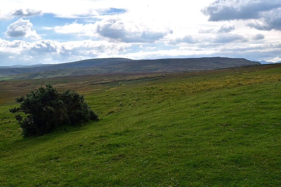 |
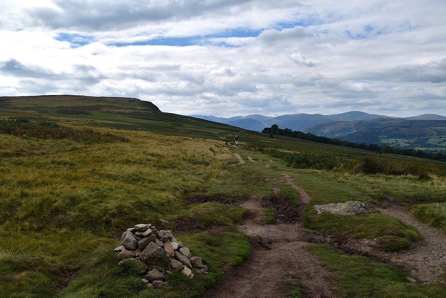
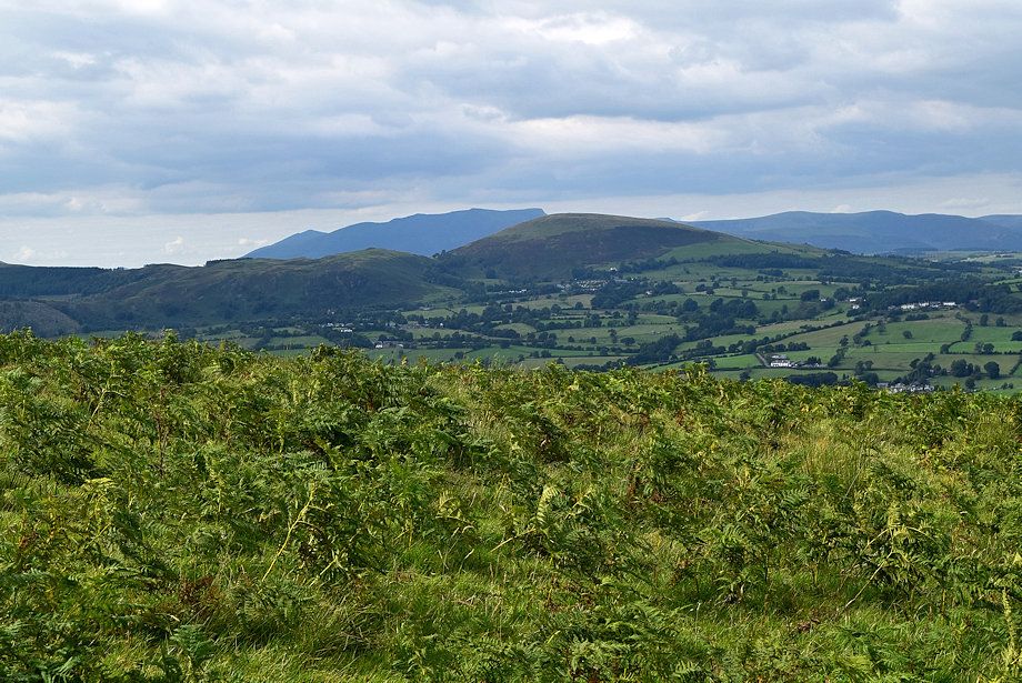
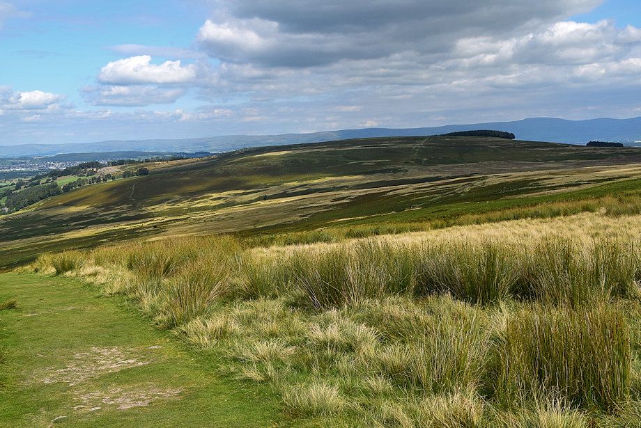
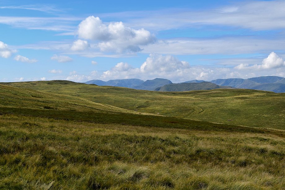
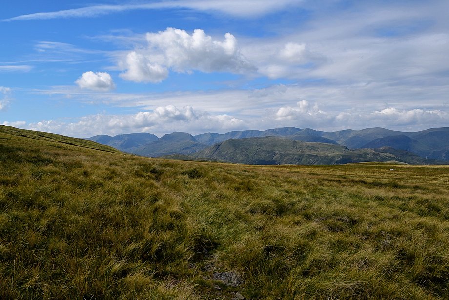
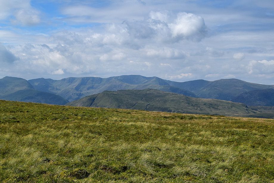
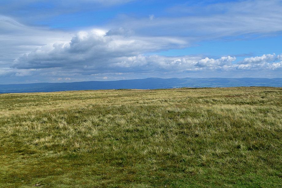
| Looking over to Loadpot Hill and Arthur's Pike |
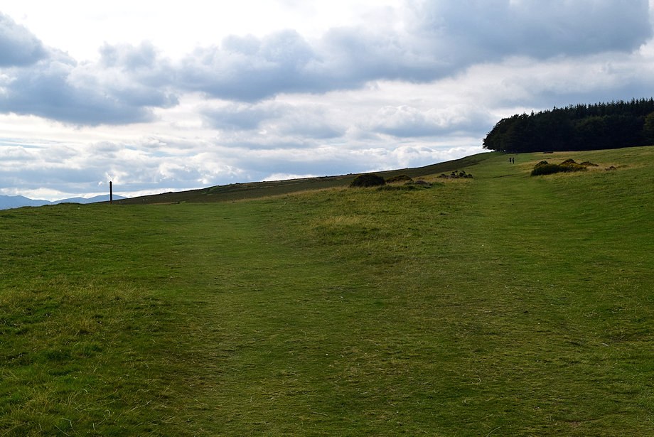 |
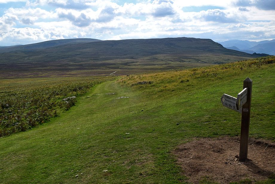
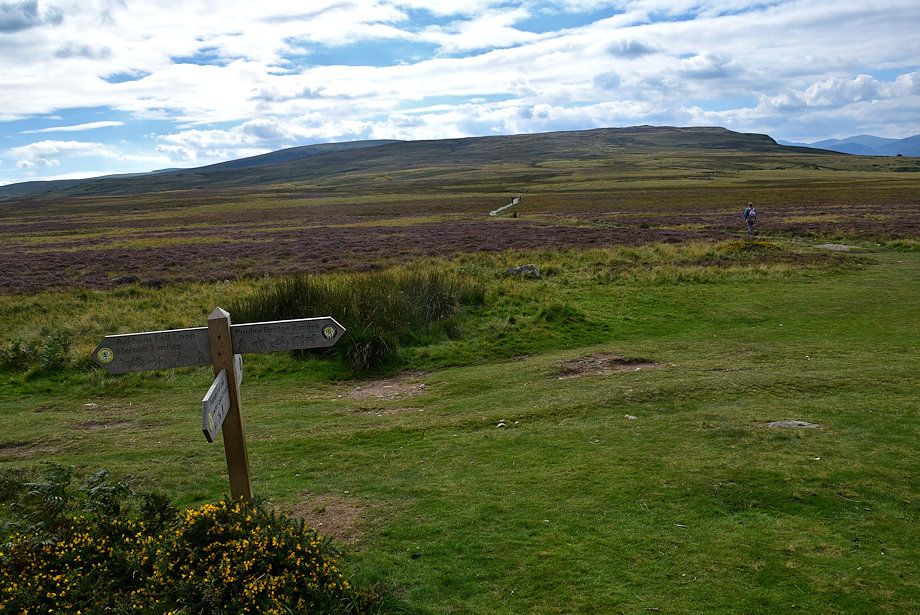
| The path to Winder Plantation is only followed for a couple of hundred yards before diverting left towards a signpost on Riggingleys Top |
 |
| The bridleway signpost had lost its 'fingers' at the time of this walk. No doubt they will be replaced at sometime to once again point the way to Askham and Pooley Bridge |
 |
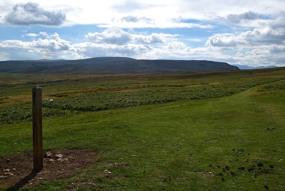
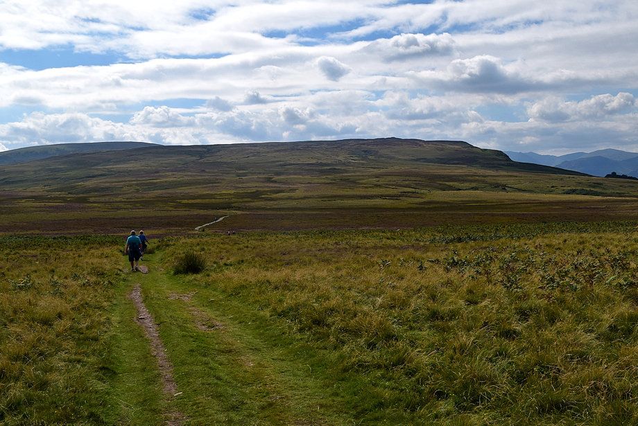
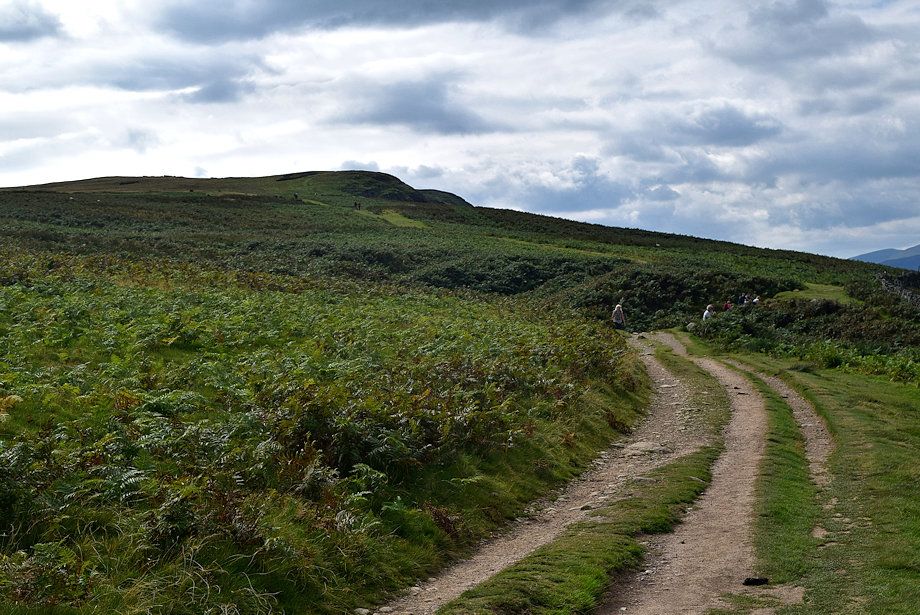
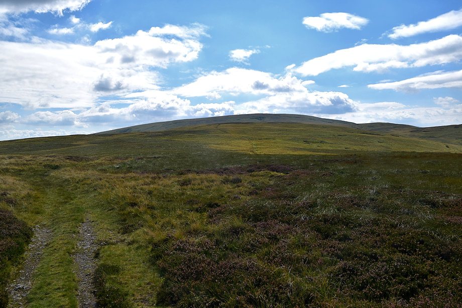
| The bridleway continues straight ahead across Askam Fell towards another signpost which overlooks Moor Divock |
 |
| Loadpot Hill and Arthur's Pike from the second signpost, continue straight ahead towards Moor Divock and yet another signpost at Ketley Gate |
 |
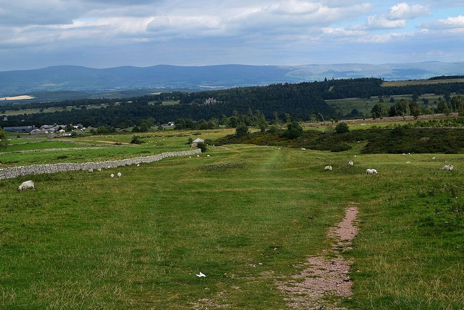
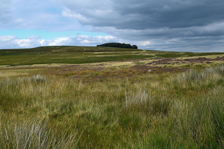
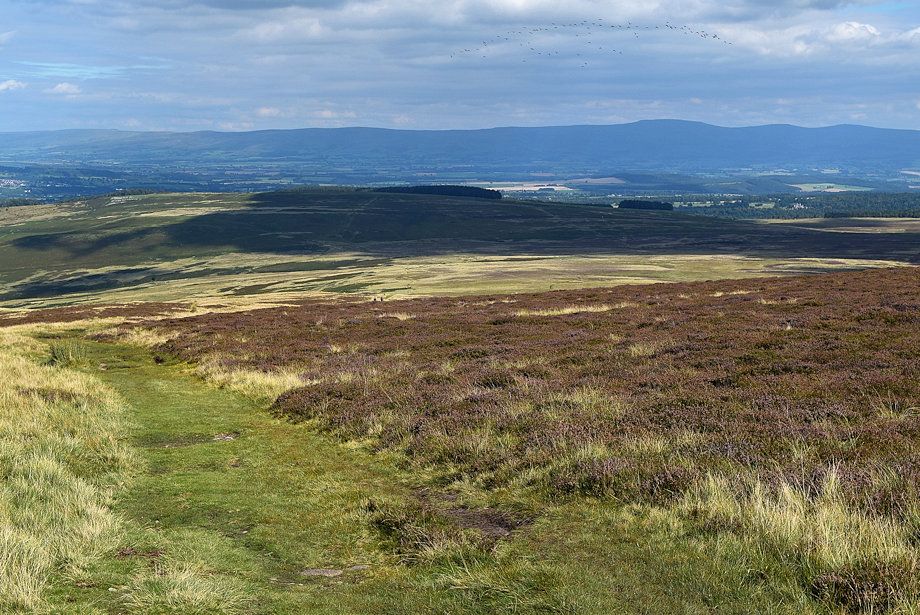
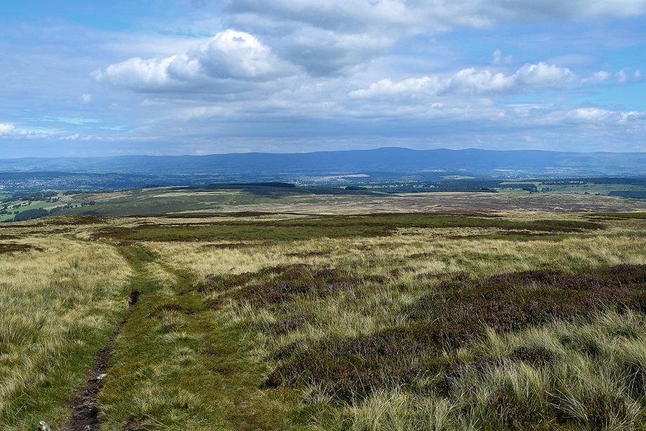
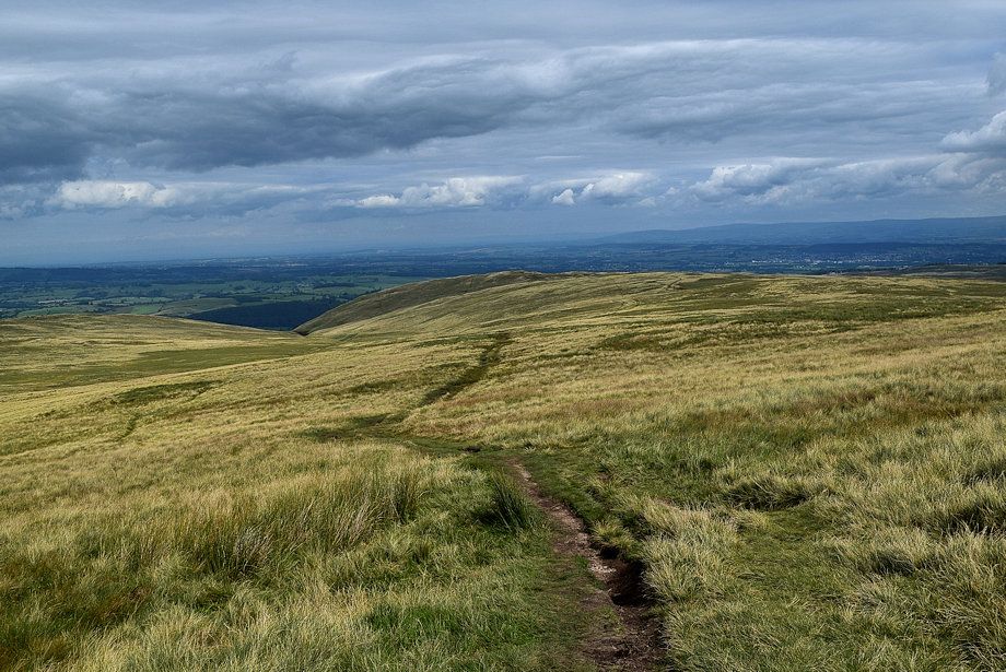
| Looking back to Coachclose Plantation from the second signpost |
 |
| Descending to Ketley Gate |
 |
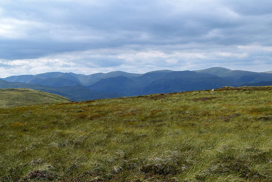
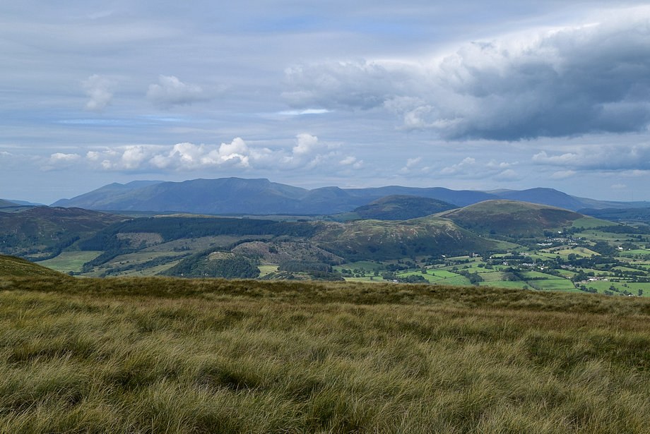
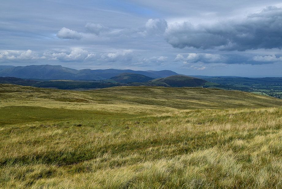
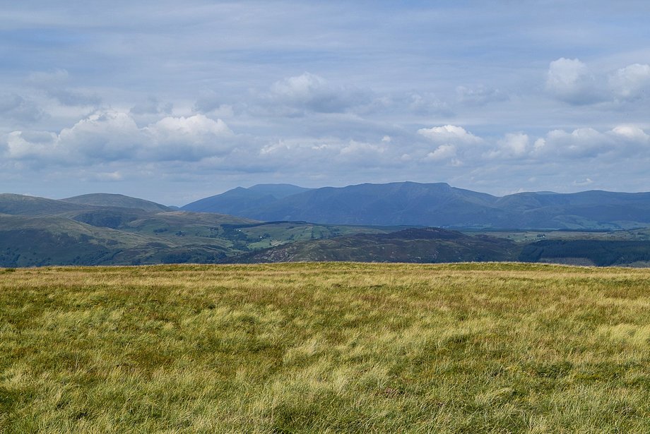
| Looking across to Blencathra from the descent to Ketley Gate |
 |
| Ketley Gate is at a crossroad of paths the one to the right leads to Pooley Bridge |
 |
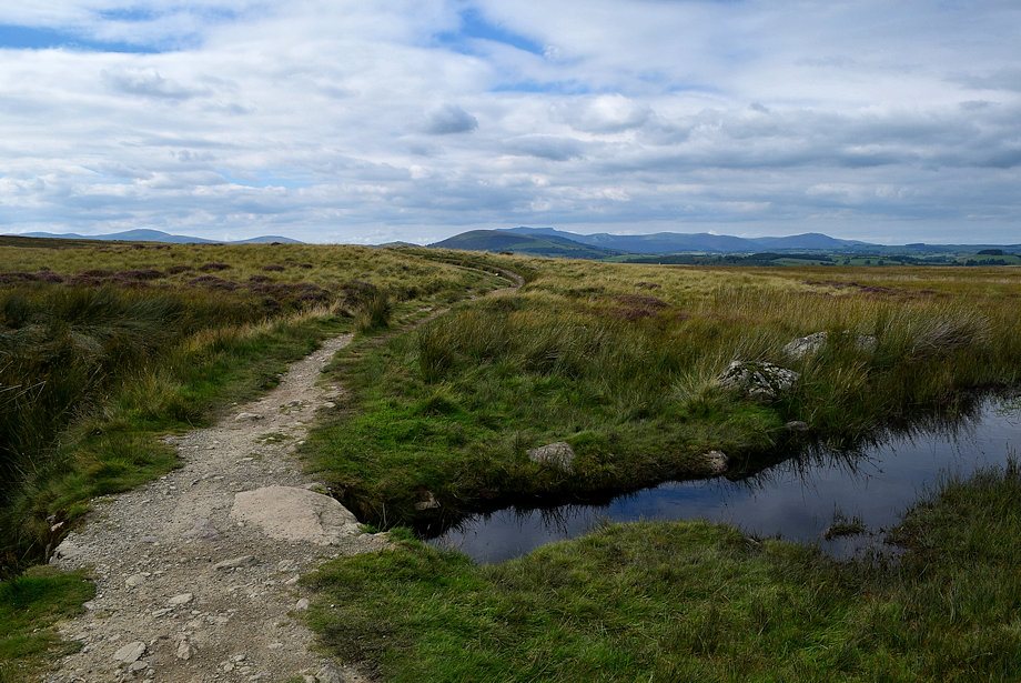
| The way ahead leads straight ahead over Moor Divock to the Cockpit Stone Circle, crossing over an an extensive area of bog on the way |
 |
| In AW's original guide he described the bog as positively the worst on any regular Lakeland path and to avoid it. Nowadays there is a very good path which enables the walker to cross it with ease |
 |
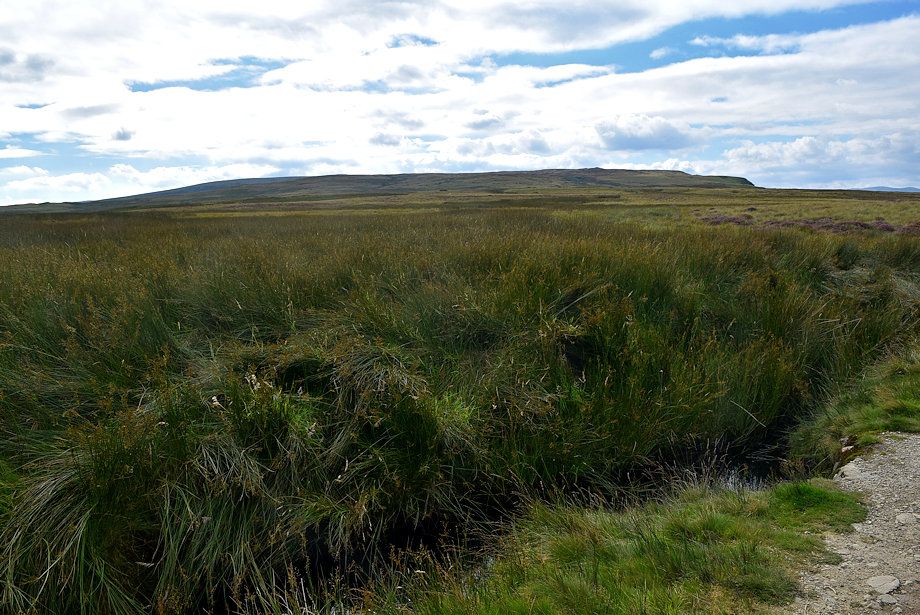
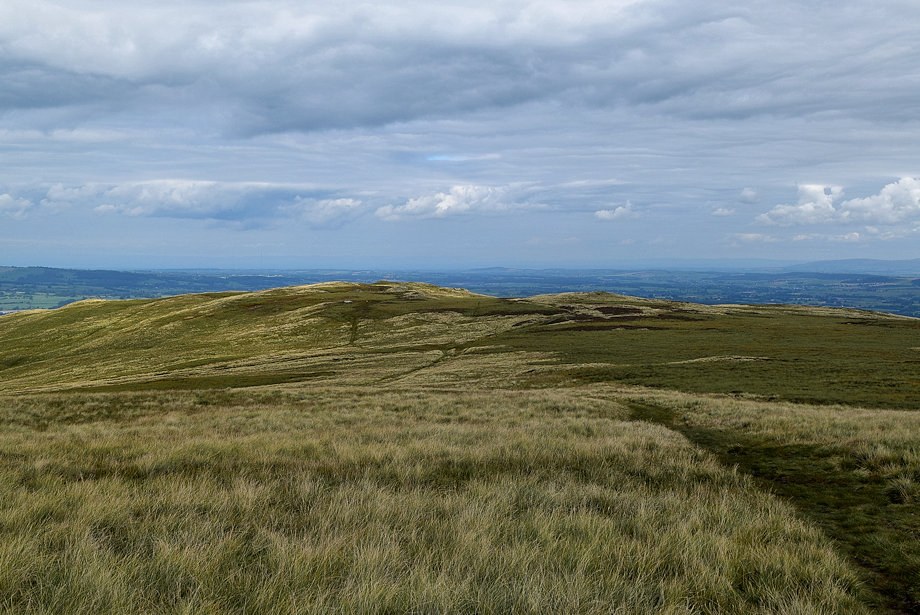
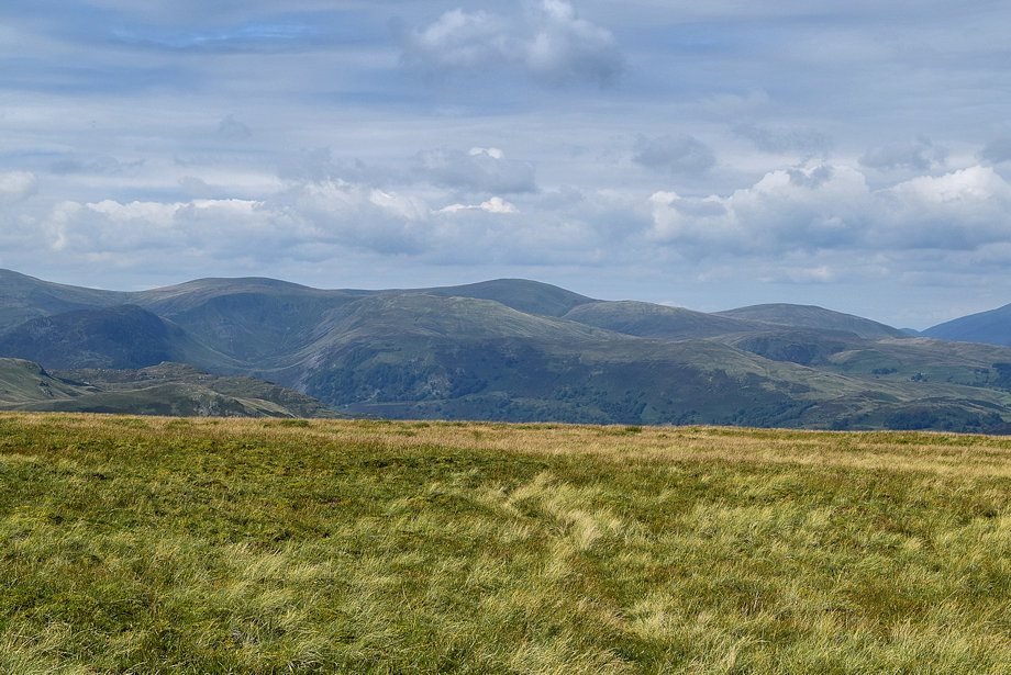
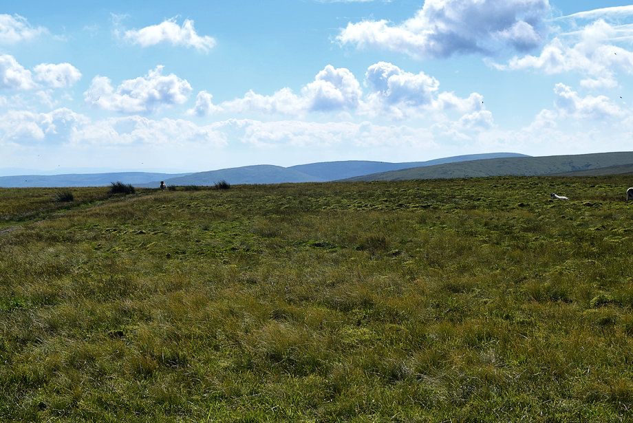
| Looking back to Heughscar Hill and the Winder Plantation from the middle of the bog |
 |
| The path exits the bog via a simple clapper bridge over one of Elder Beck's tributaries and turns up a dry bank to join the Roman Road and the Ullswater Way path at the Cockpit Stone Circle |
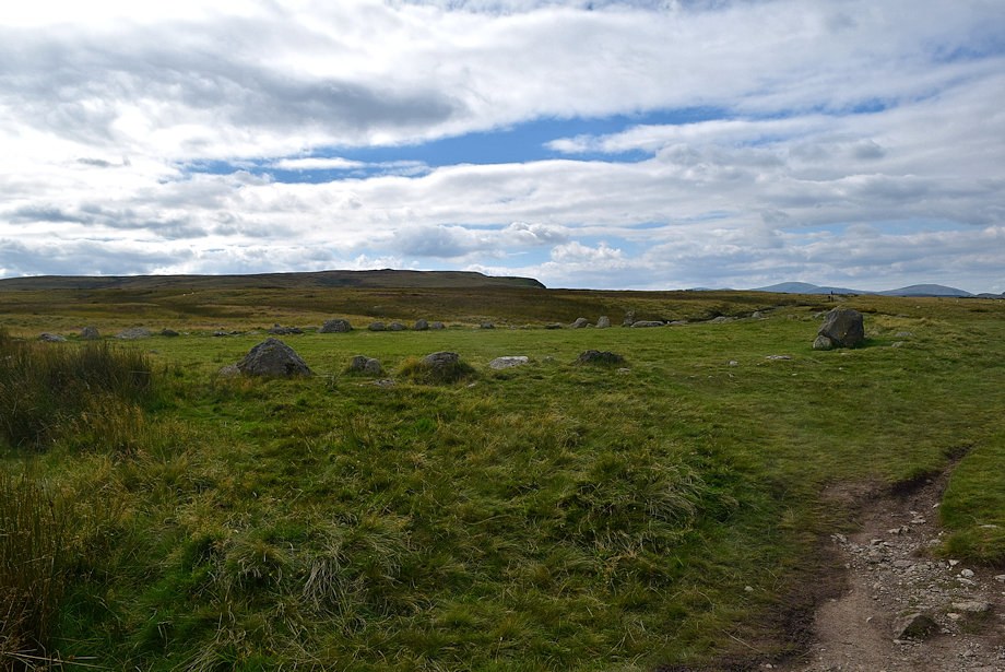 |
| The Cockpit Stone Circle, which is almost ninety feet in diameter, is a Scheduled Ancient Monument estimated to be between 5,000 - 3,500 years old |
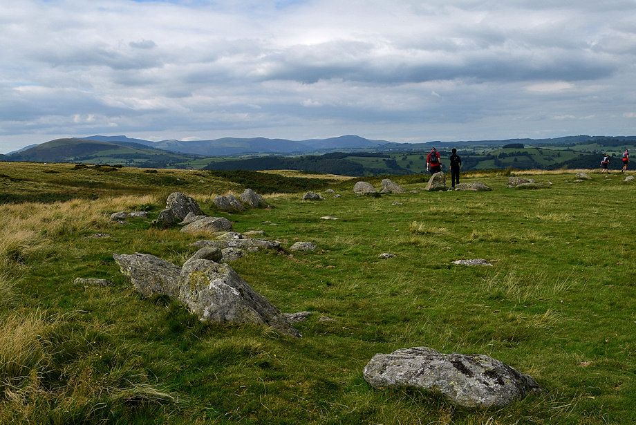 |
| Looking north-west from the Cockpit Stone Circle |
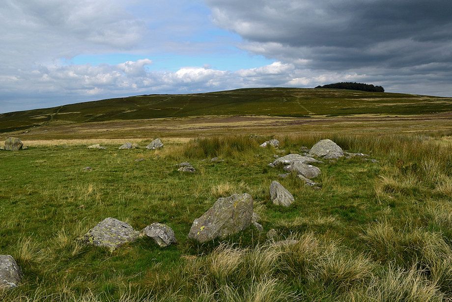 |
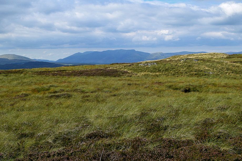
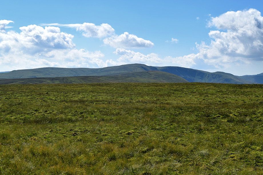
| Heughscar Hill from the Cockpit Stone Circle |
 |
| The way ahead from the Cockpit Stone Circle follows The Roman Road/Ullswater Way path which crosses the natural ford over Elder Beck |
 |
| Two hundred yards beyond the ford the Roman Road turns off to the left to ascend Brown Rigg. It's much better to stay on The Ullswater Way path which is much clearer and ..... drier! |
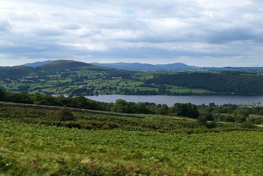 |
| Ullswater from The Ullswater Way path |
 |
| On The Ullswater Way path |
 |
| The Ullswater Way path crosses the upper part of the Aik Beck ravine. With its attractive pool and cascades, it's a very popular stopping point for walkers and was thronged with people .... so no photo of it! |
 |
| On crossing the ravine a signpost indicates that the Ullwater Way path starts its long descent towards Howton on the shores of Ullswater |
 |
| The path to Arthur's Pike and Loadpot Hill veers left from the signpost |
 |
| Looking over towards Little Mell Fell |
 |
| Great Dodd on the centre skyline with Clough Head to the right |
 |
| Looking back to Heughscar Hill |
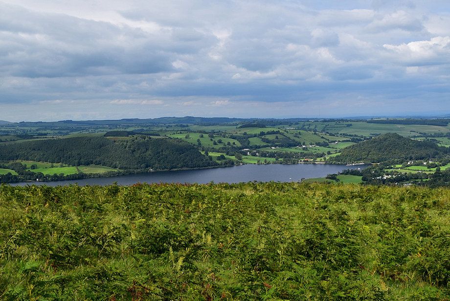 |
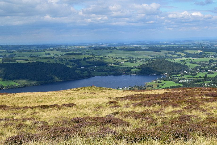
| The foot of Ullswater |
 |
| After a climb of three hundred yards from the signpost the path splits. Take the left branch - the right one passes over White Knott and continues along the escarpment to Arthur's Pike |
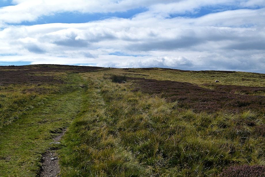 |
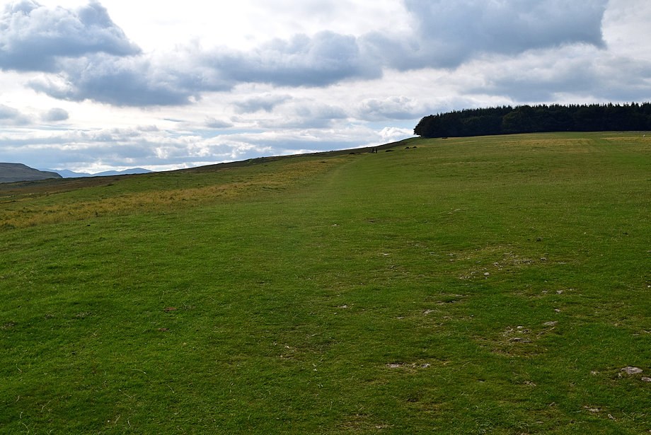
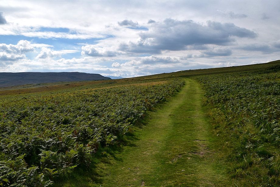
| The left branch continues over the bleak moorland |
 |
| Skiddaw and Blencathra on the skyline to the left of Little Mell Fell |
 |
| Looking back to Moor Divock |
 |
| Looking down on two walkers beside the cairn on White Knott which is a wonderful viewpoint |
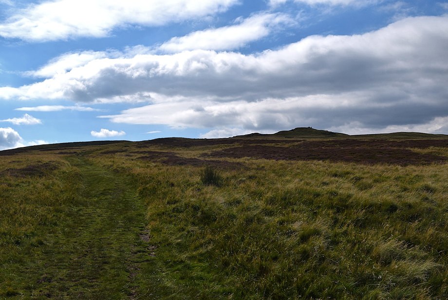 |
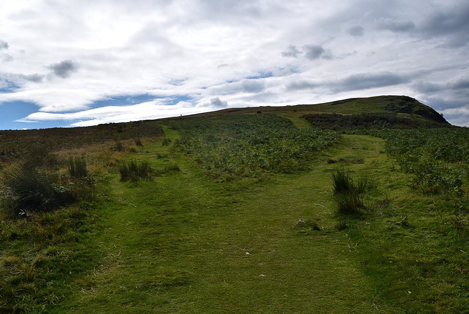
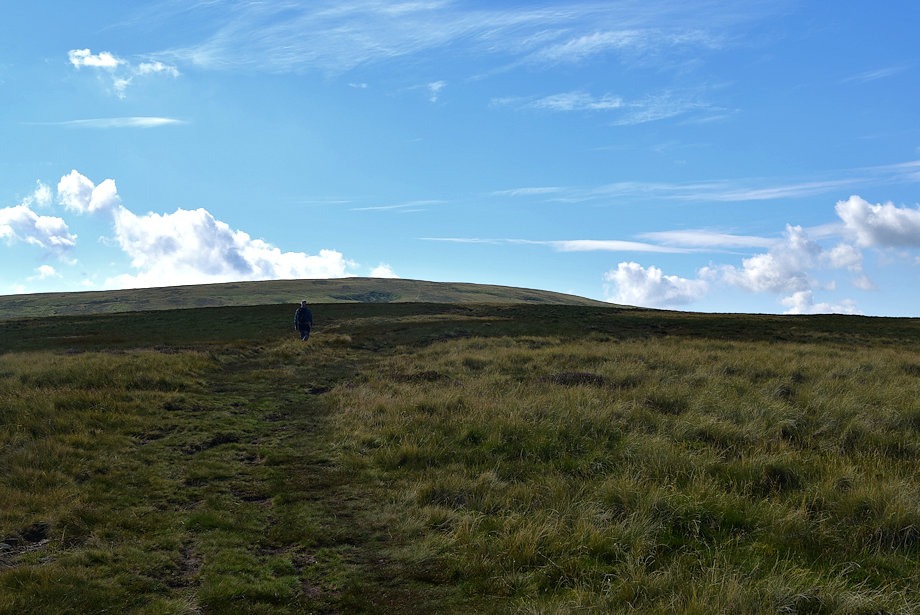
| The summit of Arthur's Pike comes into view |
 |
| Passing the summit of Arthur's Pike |
 |
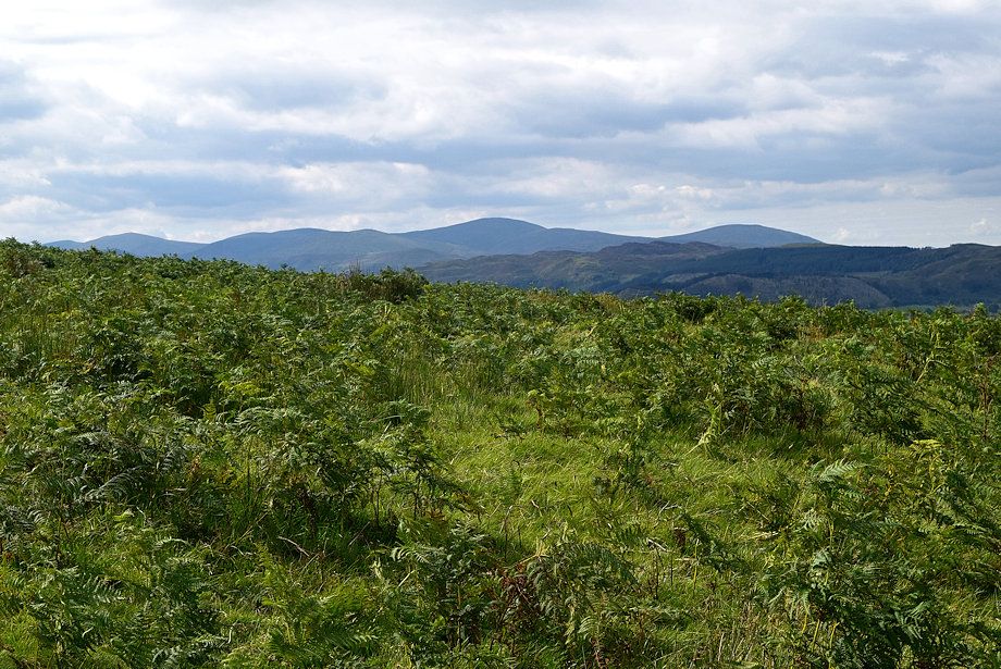
| Looking back to the Pennines on the skyline |
 |
| Looking west, Dollywaggon Pike, Nethermost Pike, Helvellyn, Catstycam, White Side, Raise, Stybarrow Dodd, Green Side, Great Dodd and Hart Side form the horizon |
 |
| Skiddaw and Blencathra over the summit ridge of Arthur's Pike |
 |
| Looking back to the summit of Arthur's Pike |
 |
| Loadpot Hill over the intervening summit of Lord's Seat from where the path rejoins the Roman Road |
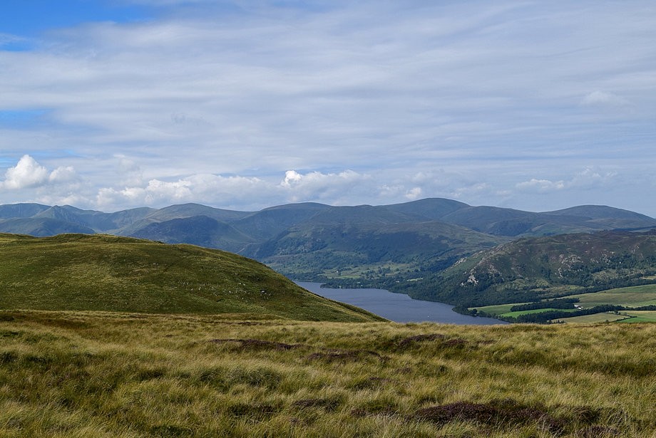 |
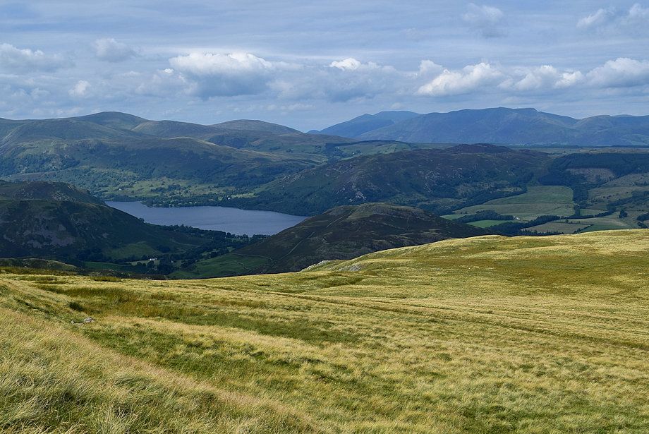
| Ullswater acoss the slopes of Bonscale Pike |
 |
| Starting the climb to the summit of Lord's Seat |
 |
| Hart Crag, Fairfield, St Sunday Crag, Place Fell, Dollywaggon Pike, Nethermost Pike and Hellvellyn from the Roman Road |
 |
| Looking back to Arthur's Pike from the Roman Road |
 |
| Approaching the summit of Lord's Seat |
 |
| Great Mell Fell and Little Mell Fell in the middle distance |
 |
| Loadpot Hill from the summit of Lord's Seat |
 |
| Great Mell Fell and Little Mell Fell over Bonscale Pike's summit ridge |
 |
| Continuing on from Lord's Seat along the Roman Road path which does not actually pass over the summit of Loadpot Hill |
 |
| Looking over to Place Fell in the middle distance |
 |
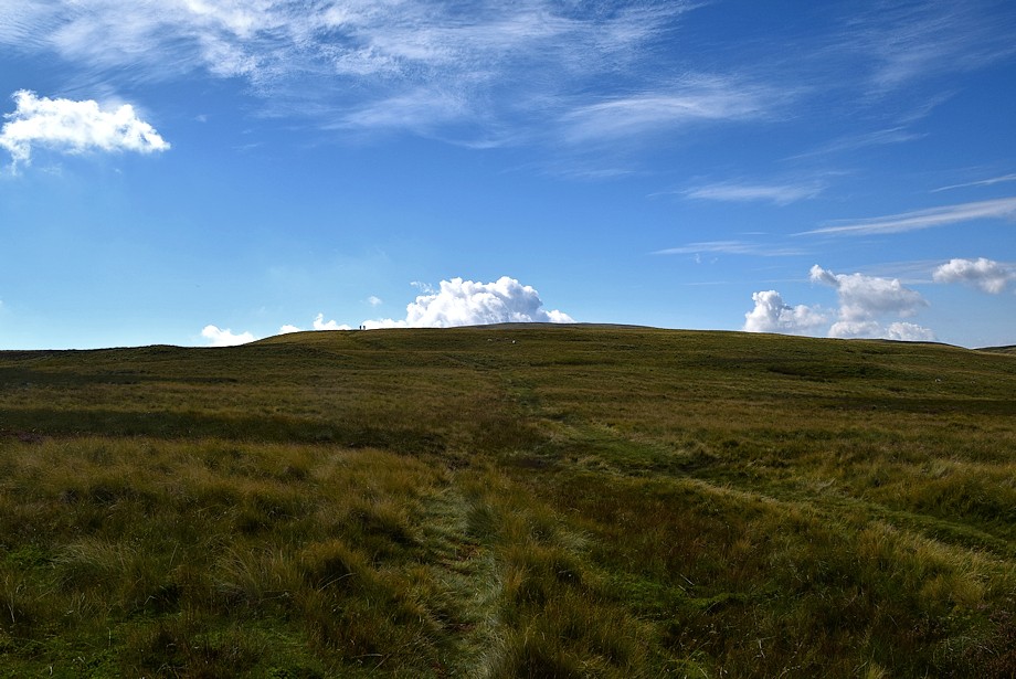
| Two walkers can be seen on the direct path to the summit with another on the skyline. The Roman Road path veers away to the right at a boundary stone which is named Lambert Lad on the OS map |
 |
| Looking back to Arthur's Pike from Lambert Lad |
 |
| At the foot of the direct path to the summit of Loadpot Hill |
 |
| The Eastern Fells over Place Fell from the start of the direct path to the summit |
 |
| The Pennine peaks of Cross Fell, Little Dun Fell and Great Dun Fell from the climb to the summit |
 |
| Looking back to Bonscale Pike and Arthur's Pike |
 |
| Ullswater from the climb to the summit, the line of the Roman Road path can be seen in the foreground |
 |
| Emerging onto Loadpot Hill's summit plateau |
 |
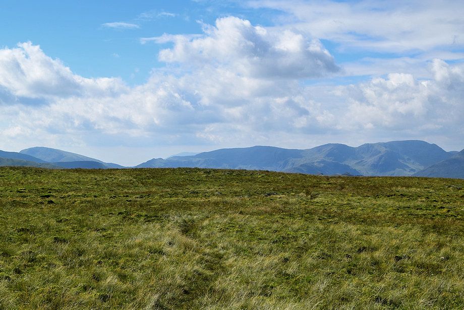
| Looking back from the edge of the plateau |
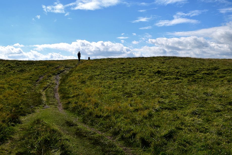 |
| Approaching the summit of Loadpot Hill |
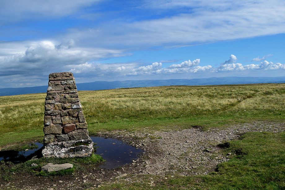 |
| The Ordnance Survey column on Loadpot Hill |
 |
| Red Screes, Little Hart Crag, Coniston Old Man, Dove Crag, Hart Crag and Fairfield from the summit of Loadpot Hill |
 |
| St. Sunday Crag, Dollywaggon Pike, Nethermost Pike, Helvellyn, Catstycam, White Side and Raise from the summit of Loadpot Hill |
 |
| Stybarrow Dodd, Great Dodd and Clough Head from the summit of Loadpot Hill |
 |
| Clough Head, Skiddaw Little Man, Skiddaw, Blencathra, Knott and Bowscale Fell from the summit of Loadpot Hill |
 |
| Great Mell Fell and Little Mell Fell in the middle distance with the summits of High Pike and Carrock appearing over Great Mell Fell |
 |
| The Pennines from the summit of Loadpot Hill |
 |
| Selside Pike, High Hawes and Branstree from the summit of Loadpot Hill |
 |
| Low Raise, High Raise, Rampsgill Head and The Knott from the summit of Loadpot Hill, with Wether Hill in the middle distance |
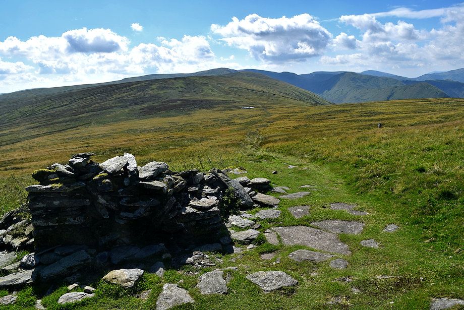 |
| Three hundred yards to the south of the summit are the ruins of Lowther House. All that remains of the former shooting-lodge and stables is its collapsed hearth and chimney and the concrete floor |
