 |
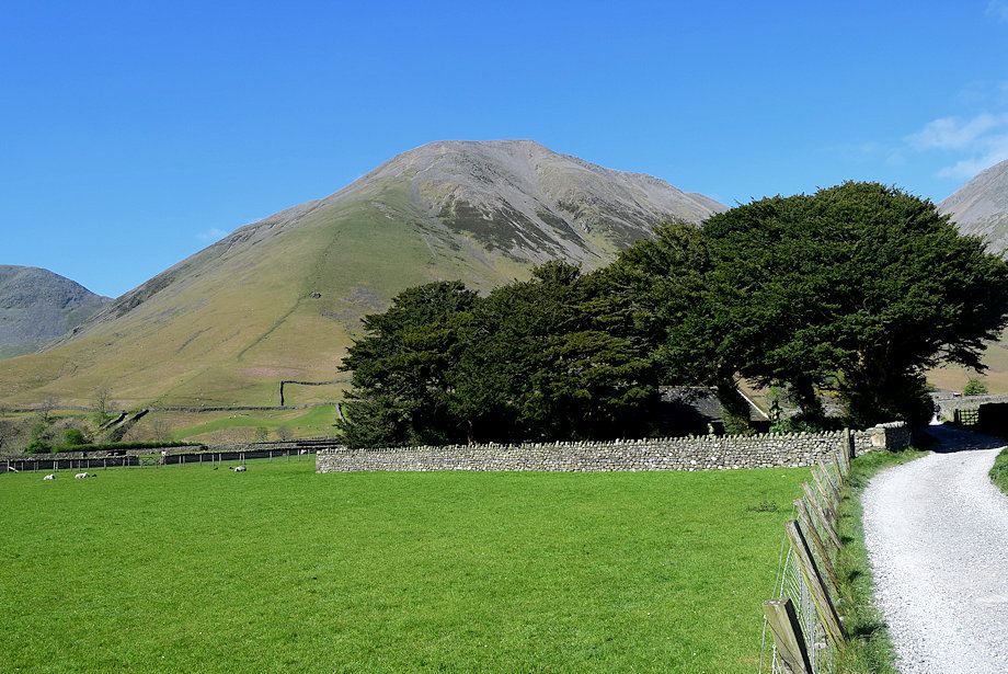
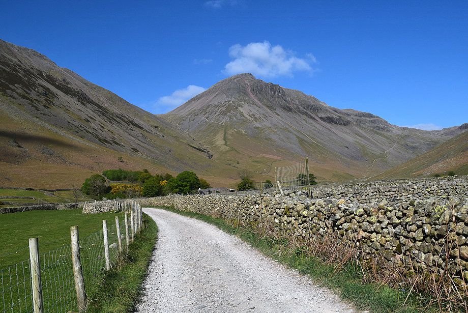
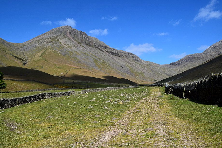
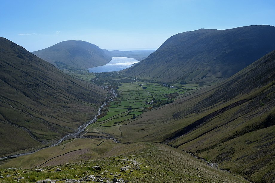
| Kirk Fell and Great Gable from the Wasdale Green car park. The route follows the lane from the north-east corner of the car park to Burnthwaite Farm, passing Lingmell House and St Olaf's Church on the way |
 |
| Approaching St. Olaf's Church |
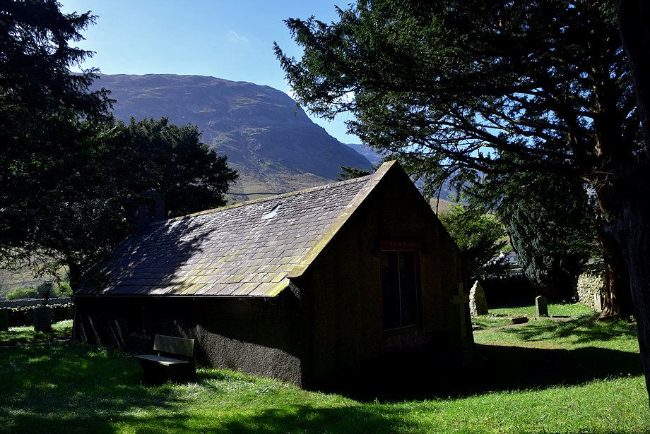 |
| St. Olaf's Church |
 |
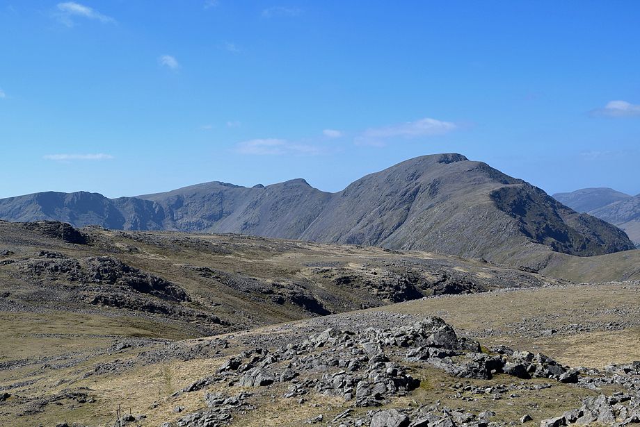
| Pillar at the head of Mosedale from St. Olaf's Church |
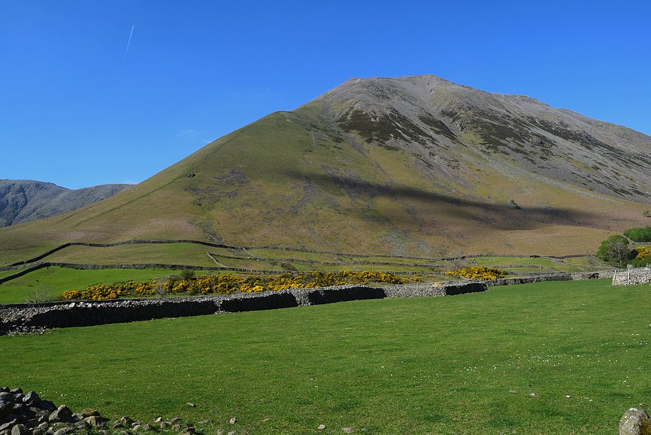 |
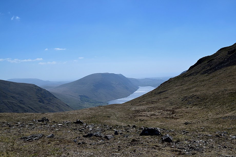
| Kirk Fell from St. Olaf's Church |
 |
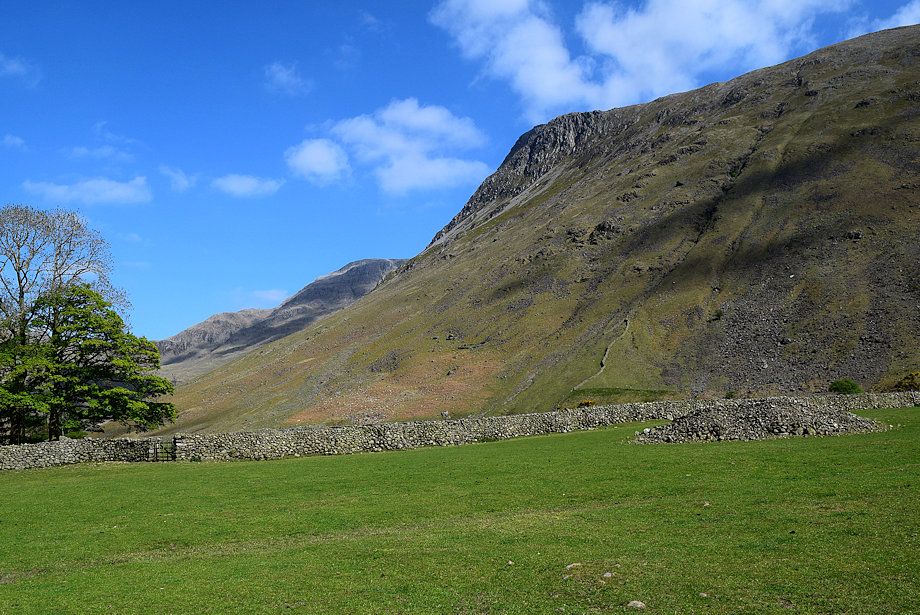
| Great Gable from the lane to Burnthwaite Farm |
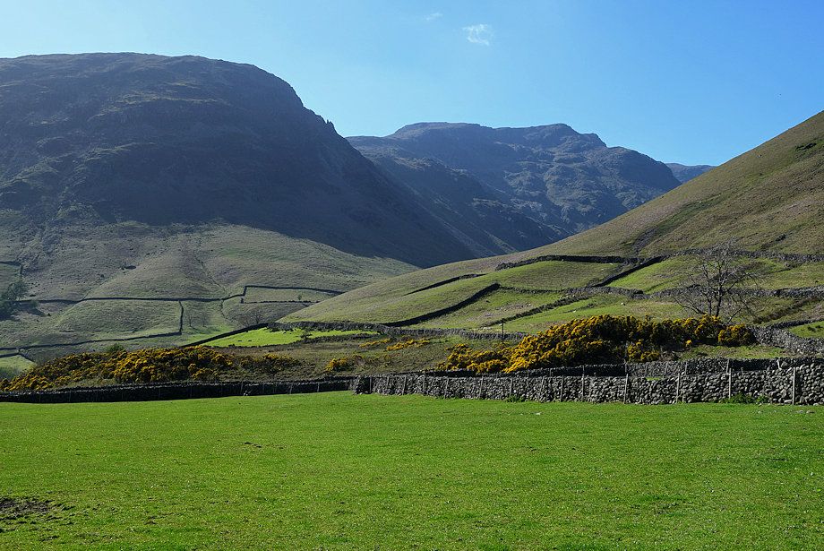 |
| Yewbarrow and Red Pike from the lane to Burnthwaite Farm |
 |
| Great End and Lingmell from the lane to Burnthwaite Farm |
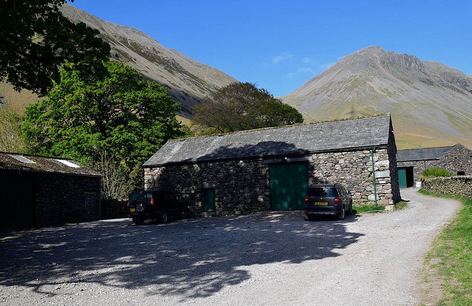 |
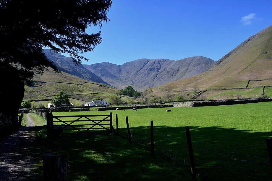
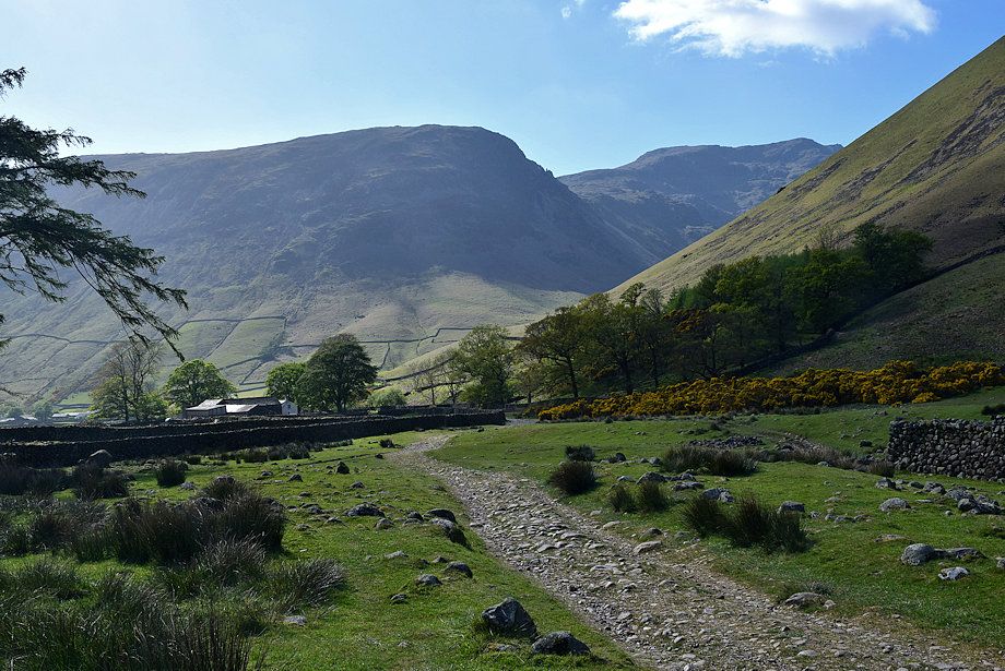
| Burnthwaite Farm, pass through the farmyard and continue along a wide outgang lane (Moses' Trod) which leads to a footbridge over Gable Beck |
 |
| Great Gable and Styhead Pass from the outgang lane |
 |
| Looking back to Burnthwaite Farm from the outgang lane |
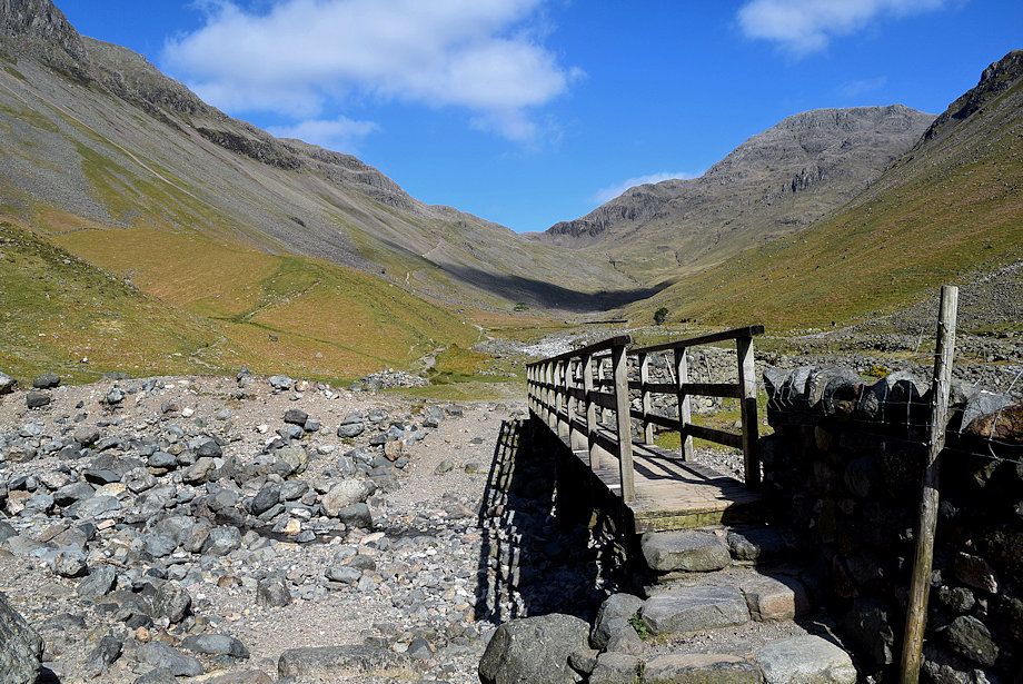 |
| The footbridge over Gable Beck |
 |
| Great Gable from the footbridge over Gable Beck |
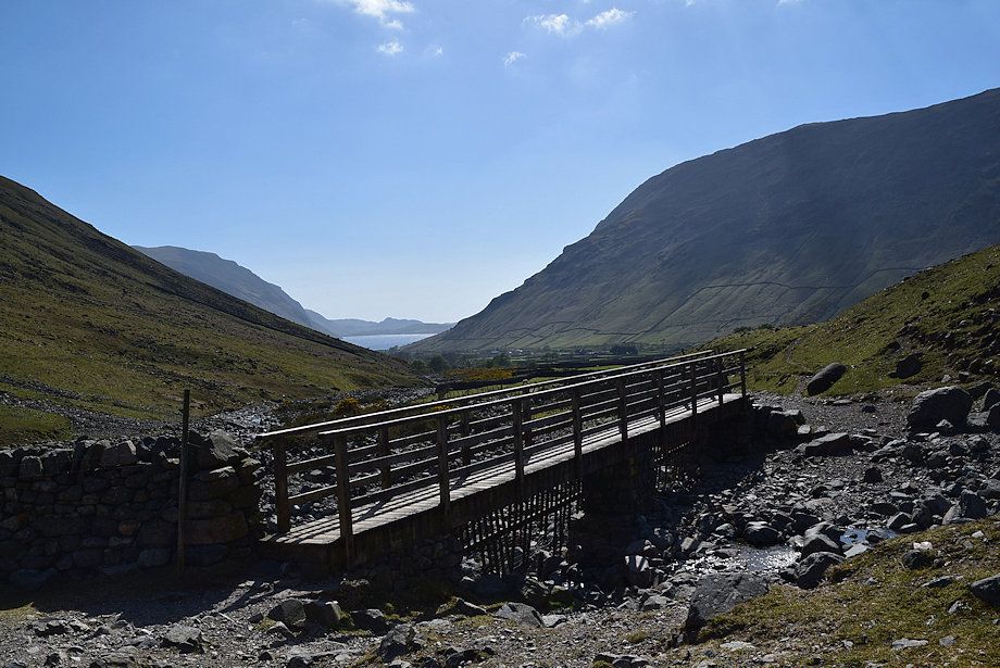 |
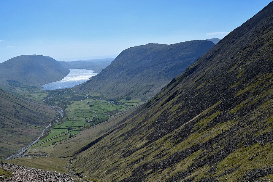
| Looking back to Wast Water from the Gable Beck footbridge |
 |
| Over the footbridge the main path continues on towards Sty Head Pass |
 |
| The Moses' Trod path to Beck Head turns off to the left, climbing steadily to a gate in the intake wall |
 |
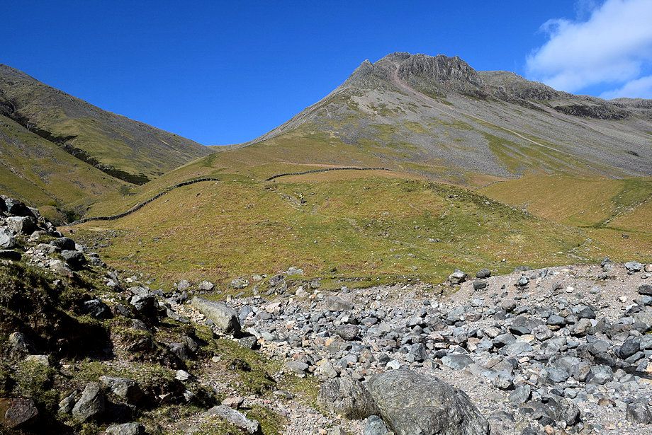
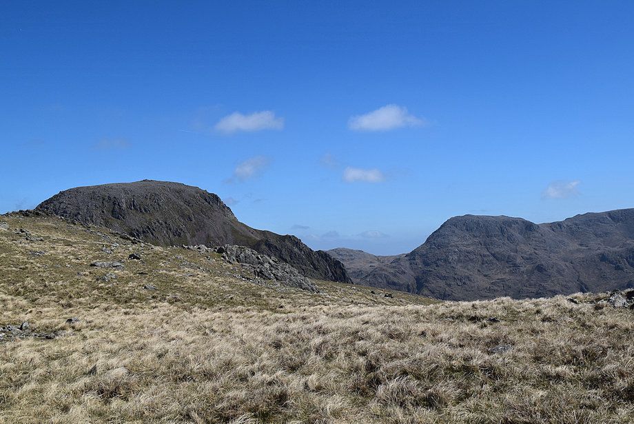
| The Great Napes from the intake wall |
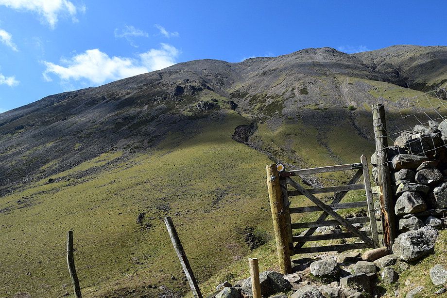 |
| Kirk Fell from the handgate in the intake wall |
 |
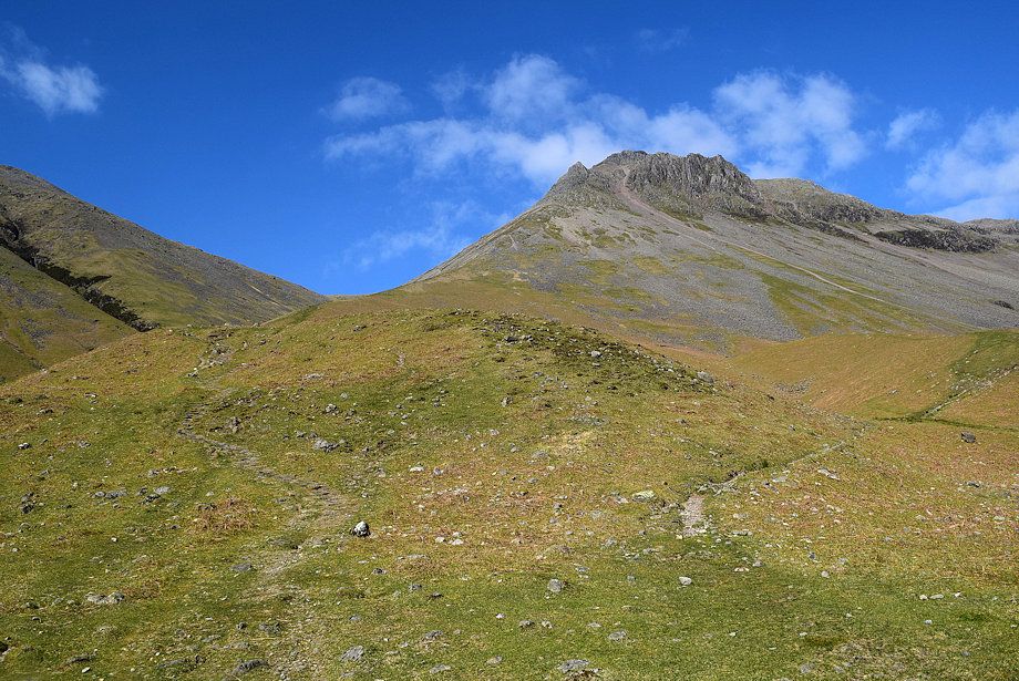
| The path leads up Gavel Neese (Gable Nose) |
 |
| Looking over to Ill Gill on Kirk Fell from Gavel Neese |
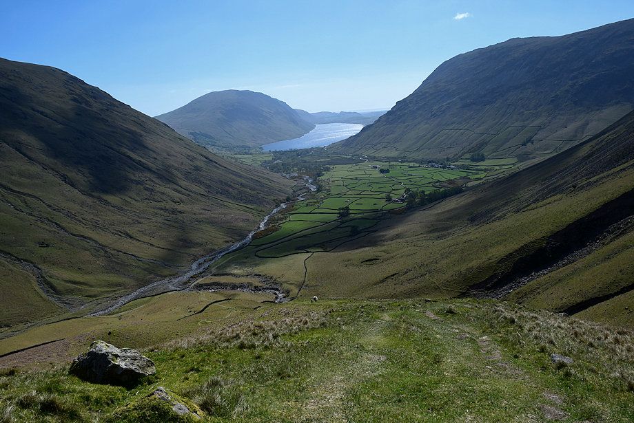 |
| Looking back to Wasdale Head and Wast Water from Gavel Neese |
 |
| The White Napes, Westmorland Crags and the Great Napes from Gavel Neese |
 |
| Looking over to The Band and Great End from Gavel Neese |
 |
| The White Napes wih Arrowhead Ridge, Eagle's Nest Ridge and Needle Ridge on the Great Napes to the right. As the steep grass slope encounters scree there is an option of continuing straight ahead to join the South Traverse path below the Napes, passing Moses' Finger on the way |
 |
| Looking over to Great End, Broad Crag, Scafell Pike and Lingmell from Gavel Neese |
 |
| Wasdale from Gavel Neese |
 |
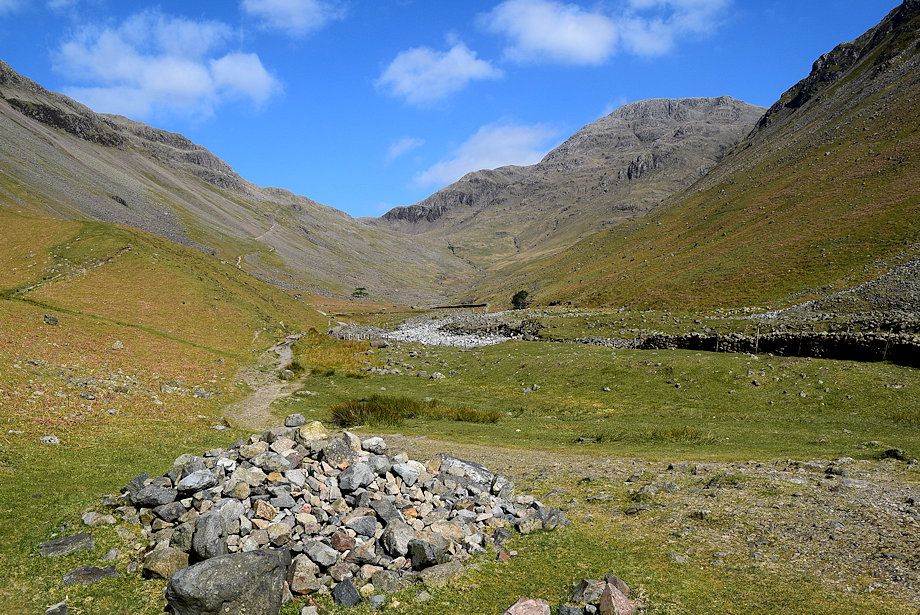
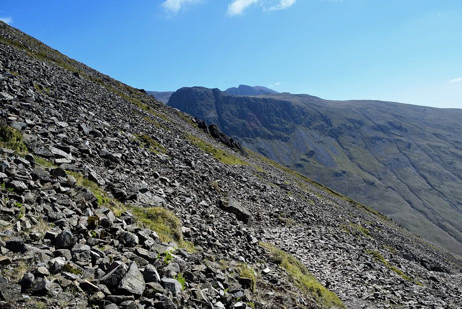
| The Moses' Trod path turns to the left and makes a rising traverse of the scree slopes towards Beck Head |
 |
| Passing below the White Napes and Moses' Finger |
 |
| Beck Head from the Moses's Trod path |
 |
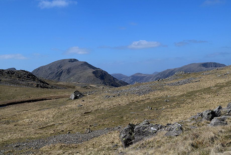
| Looking back from Moses' Trod, the summit of Scafell appears over Lingmell |
 |
| A small section of the path has been washed away by recent winter storms |
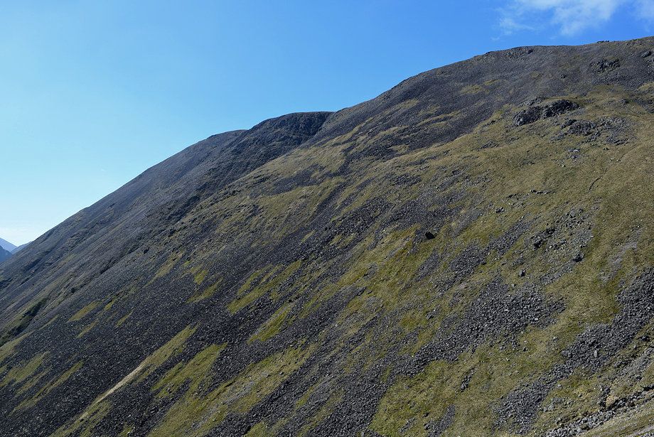 |
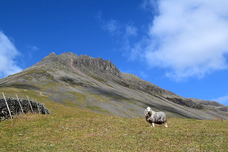
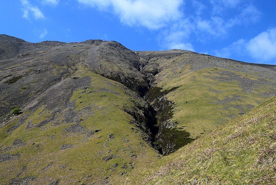
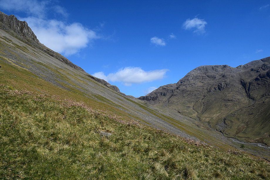
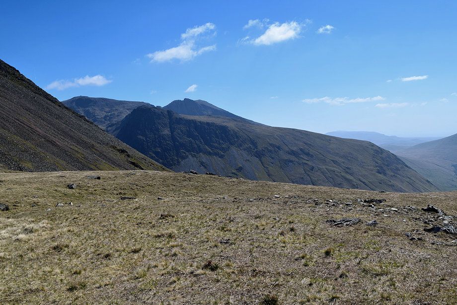
| Looking across to Kirk Fell's steep southern slope |
 |
| Yewbarrow across the slopes of Kirk Fell |
 |
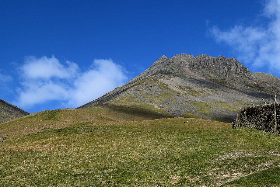
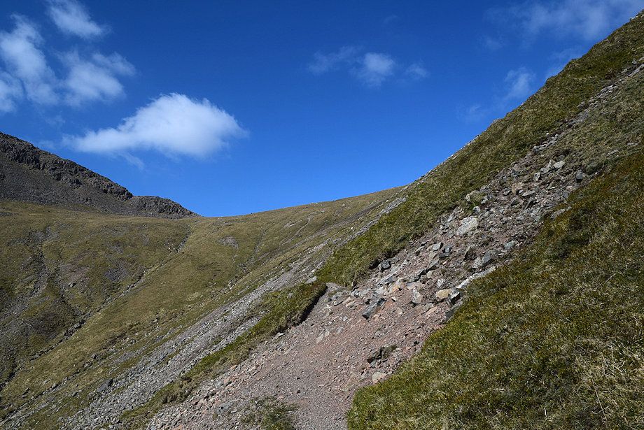
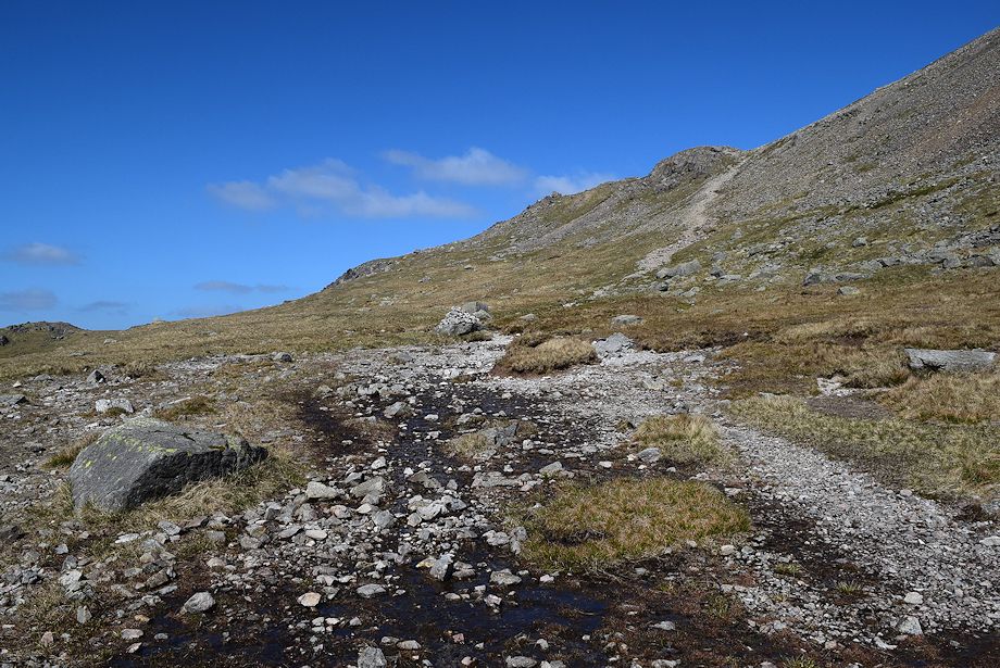
| Approaching the saddle of Beck Head |
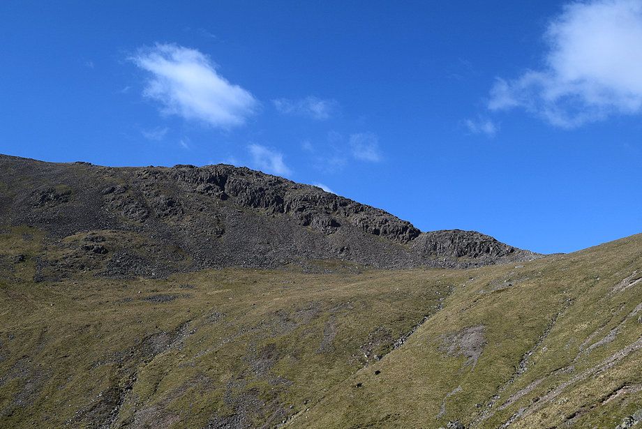 |
| Rib End, the line of ascent from Beck Head to the summit of Kirk Fell |
 |
| On reaching Beck Head the Moses' Trod path continues straight on, climbing over a shoulder on Great Gable's northwest ridge to enter Stony Cove |
 |
| The path to Kirk Fell turns left from a marker cairn passing two small tarns, which were dry on this occasion, and climbs over the crags of Rib End |
 |
| Wast Water from Beck Head |
 |
| Scafell Pike, Lingmell and Scafell from Beck Head |
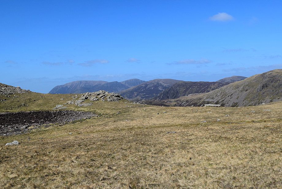 |
| The North Western Fells over Beck Head |
 |
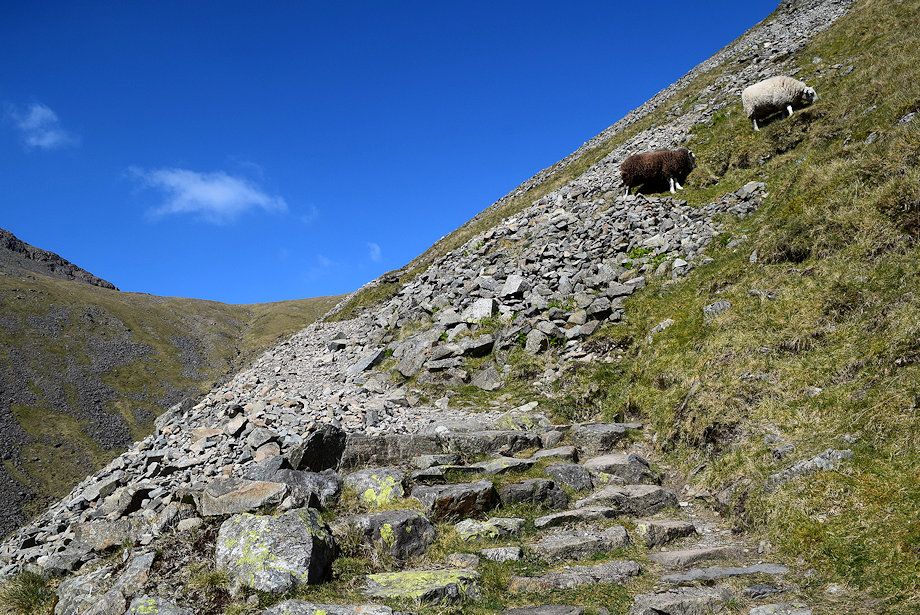
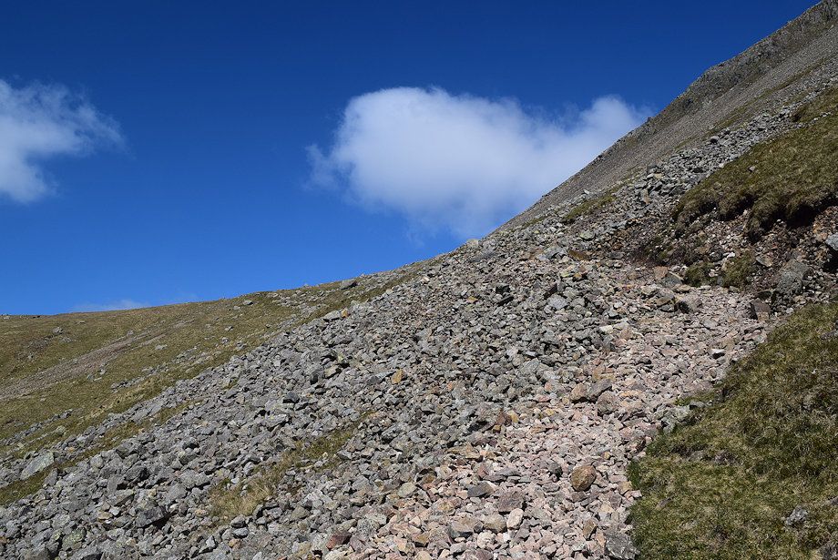
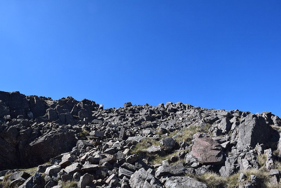
| The climb over Rib End is easier than it appears. A scree path leads up to a broad rocky gully between the crags |
 |
| Looking back towards Great Gable from the foot of Rib End |
 |
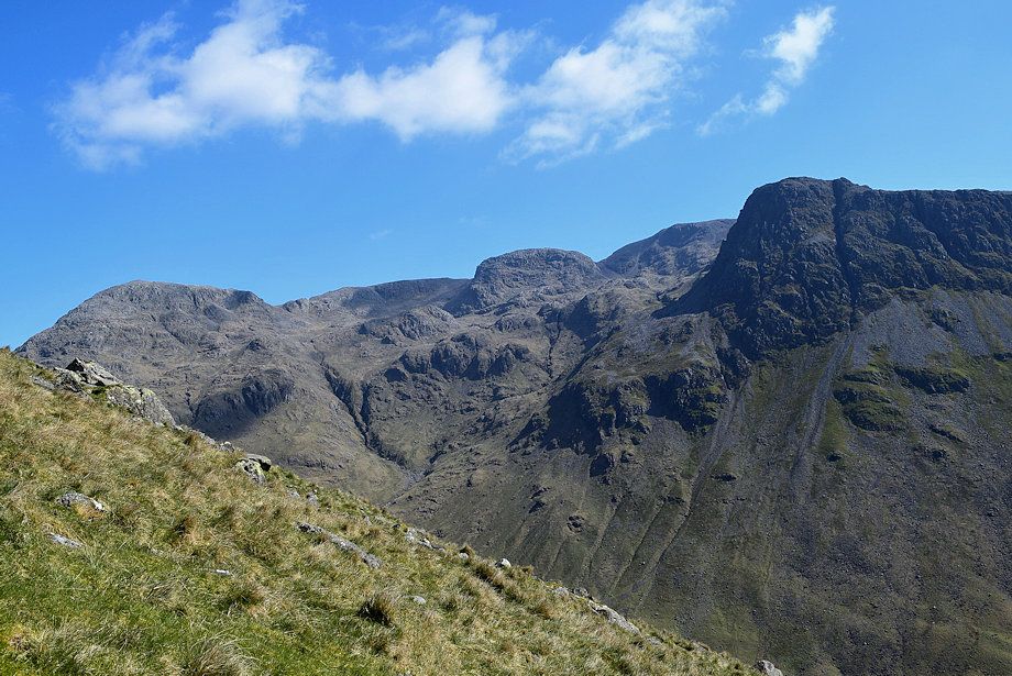
| Broad Crag, Scafell Pike, Lingmell and Scafell from Rib End |
 |
| The North Western Fells across Rib End |
 |
| Looking down on Beck Head from the lower slopes of Rib End |
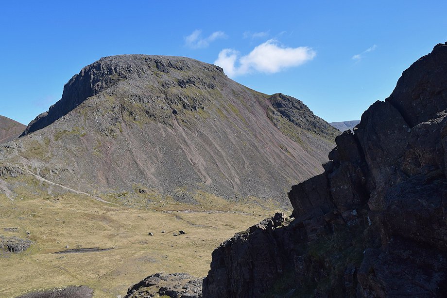 |
| Great Gable from Rib End |
 |
| The rocky gully on Rib End |
 |
| Looking back to Beck Head from the rocky gully |
 |
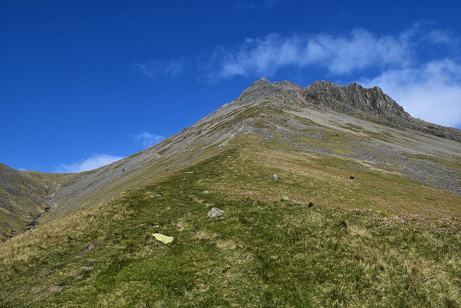
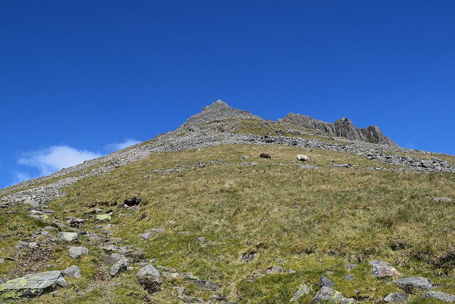
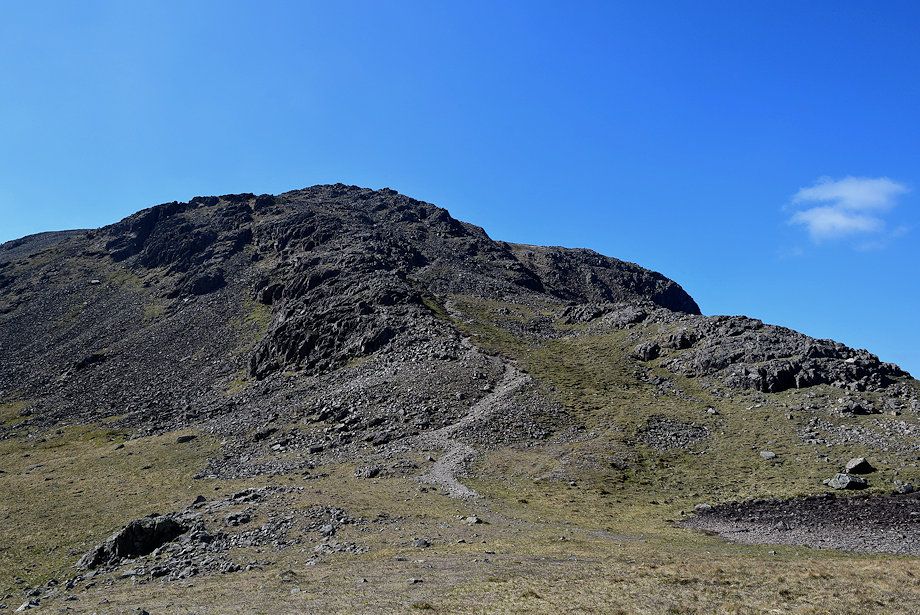
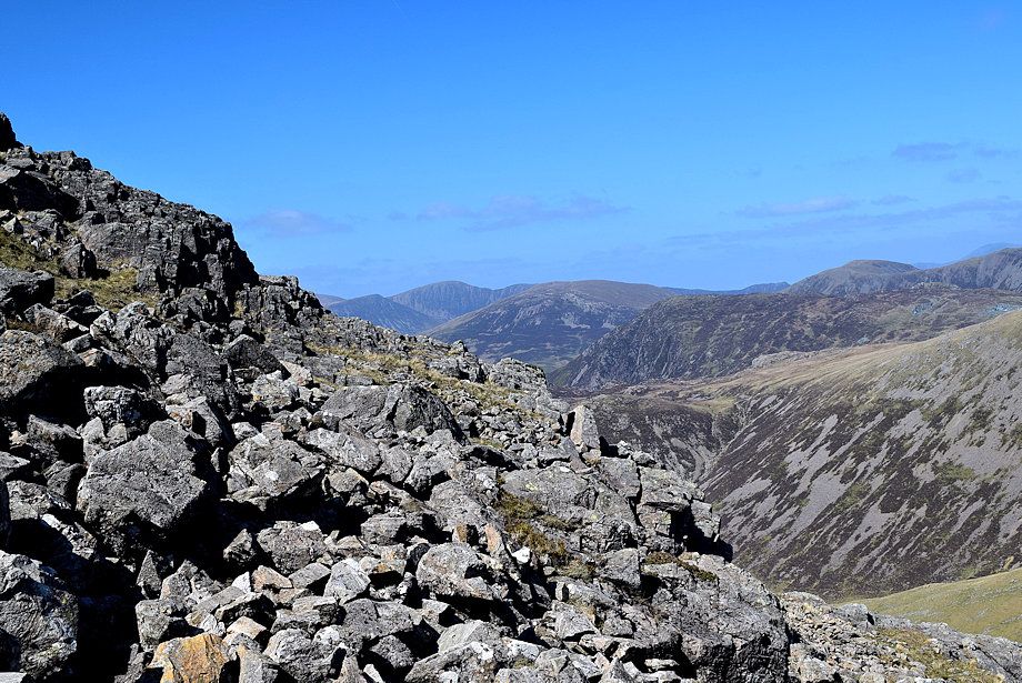
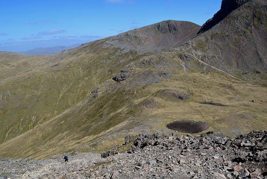
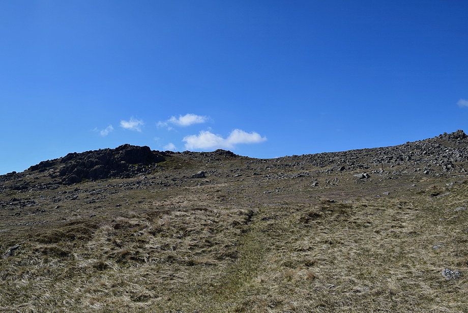
| Approaching the top of Rib End |
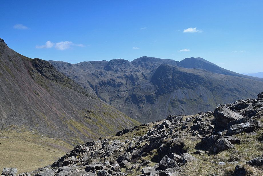 |
| The Scafell group from the top of Rib End |
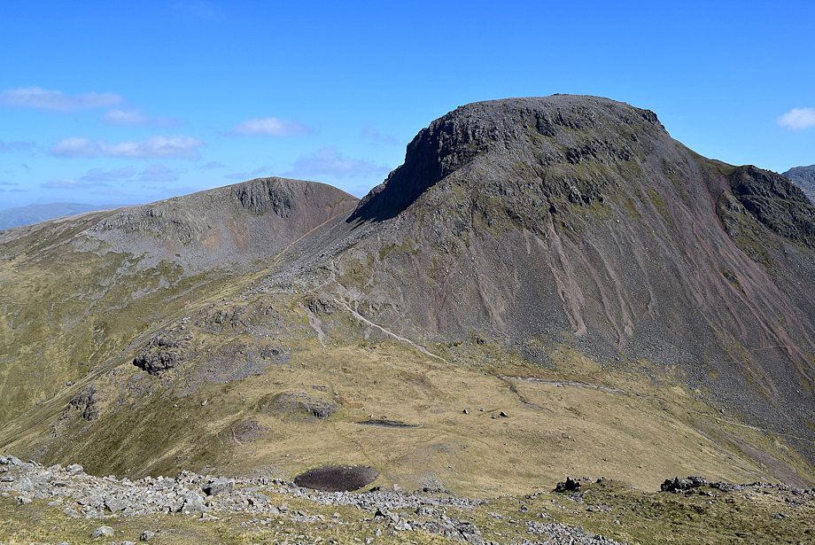 |
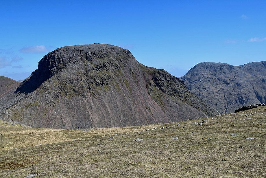
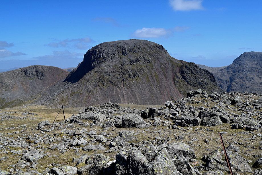
| Green Gable and Great Gable from the top of Rib End |
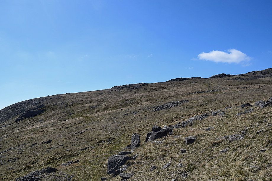 |
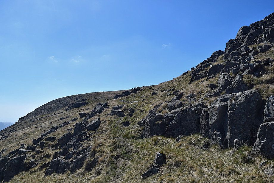
| Above Rib End follow a line of old iron fence posts on the right which lead unerringly over the north top and onwards to the summit of Kirk Fell. Alternatively, in clear weather, a path can be followed on the left which by-passes the north top and makes directly for the summit |
 |
| Looking back to Great Gable and Great End |
 |
| Looking back towards Green Gable |
 |
| Pass between the two rock outcrops on the skyline, the north top lies a short distance beyond them |
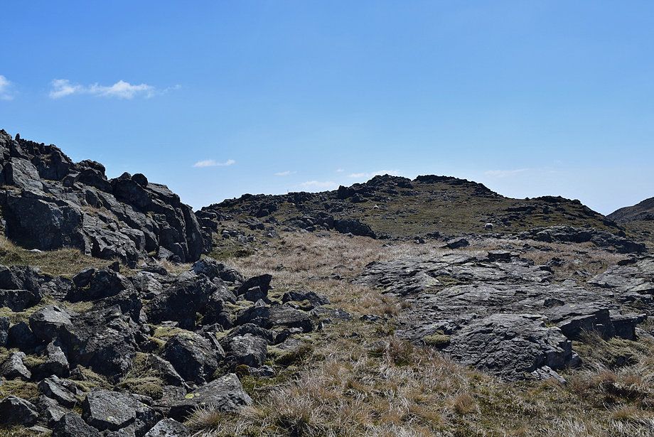 |
| Kirk Fell's north top comes into view |
 |
| The cairn on the north top |
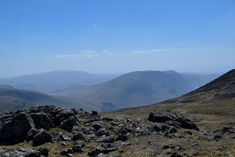 |
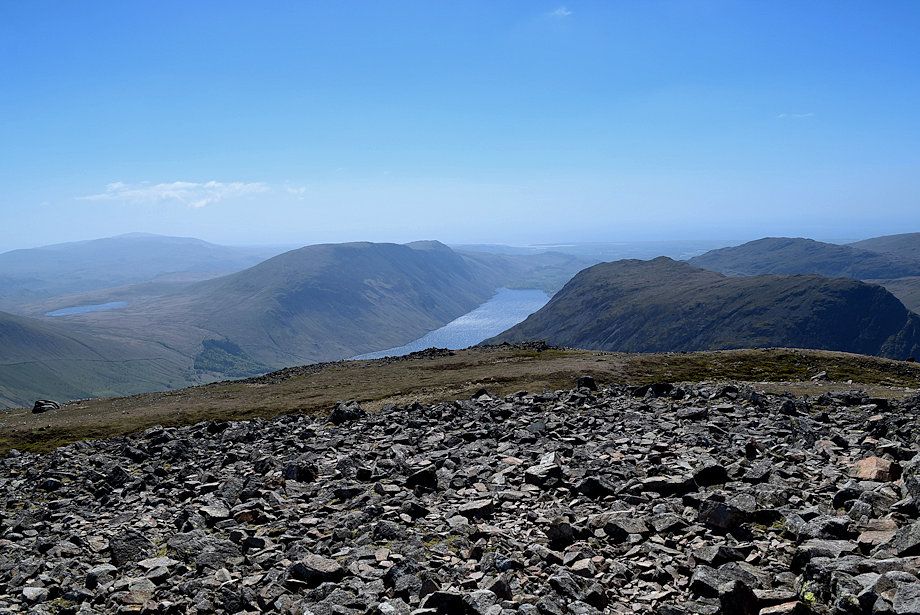
| Burnmoor Tarn, Illgill Head and Whin Rigg from the north top |
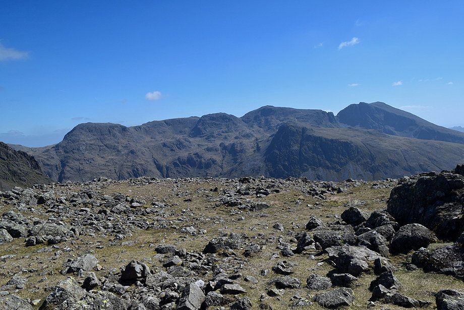 |
| The Scafell group from the north top |
 |
| Green Gable, Great Gable and Great End from the north top |
 |
| The Helvellyn range from the north top |
 |
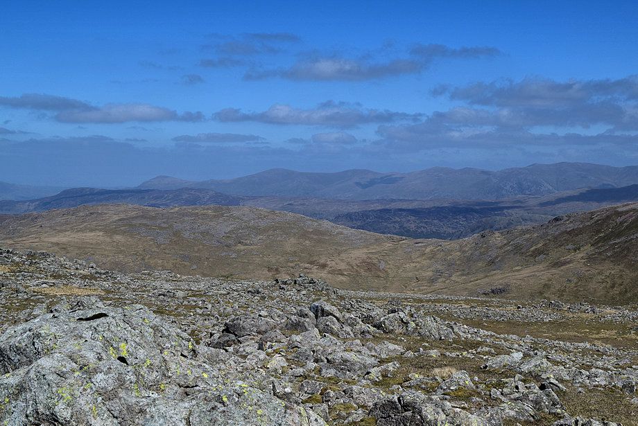
| Skiddaw and Blencathra on the distant horizon from the north top |
 |
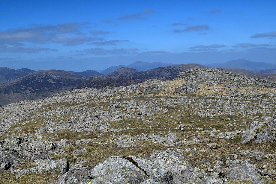
| The High Stile ridge from the north top |
 |
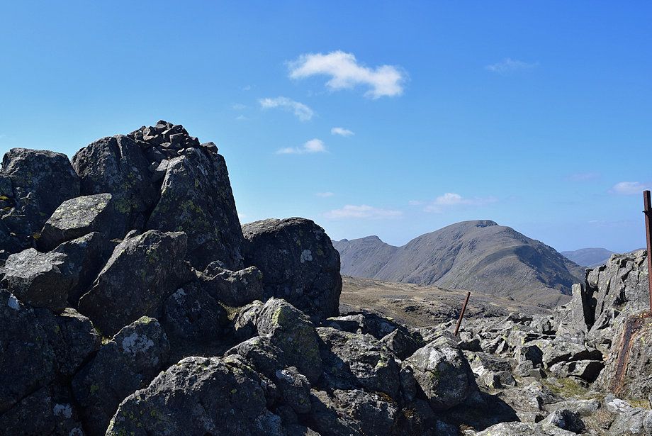
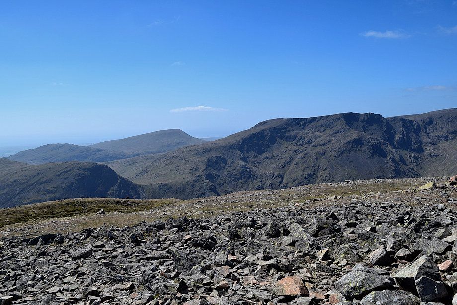
| Red Pike, Scoat Fell, Steeple, Black Crag and Pillar from the north top |
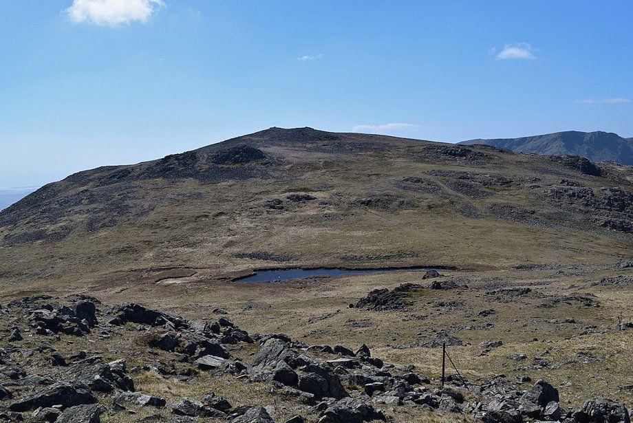 |
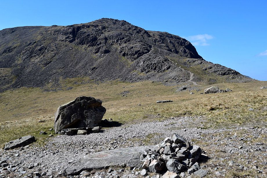
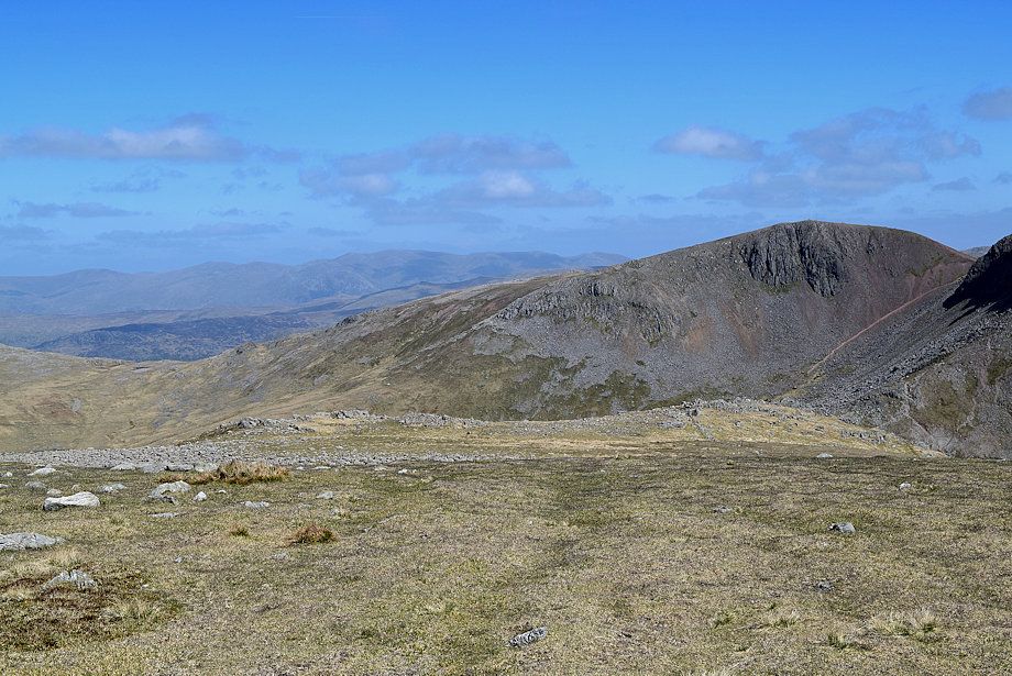
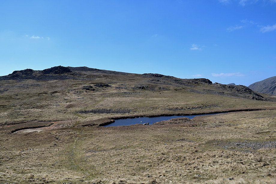
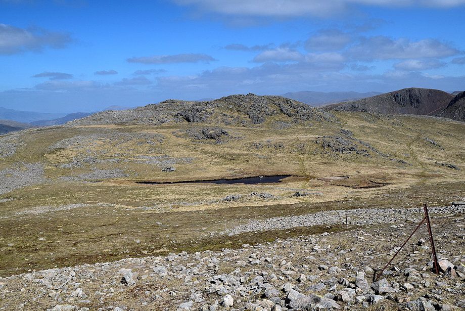
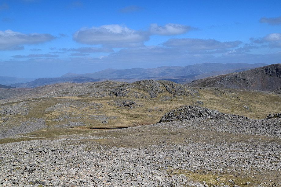
| The summit of Kirk Fell from the north top. Kirkfell Tarn lies on the broad, flat, saddle below. There is a choice of paths leading down to the saddle, the fence posts circle the tarn to the right but it's more usual to descend directly to the tarn on a clear path |
 |
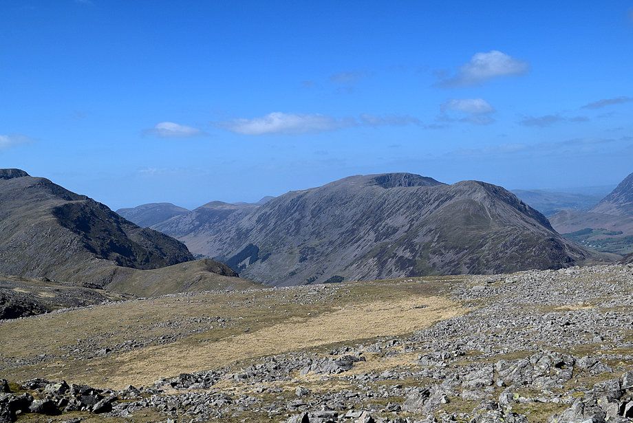
| Great Gable, Allen Crags and Great End from the desent to Kirkfell Tarn |
 |
| Pillar from the descent to Kirkfell Tarn |
 |
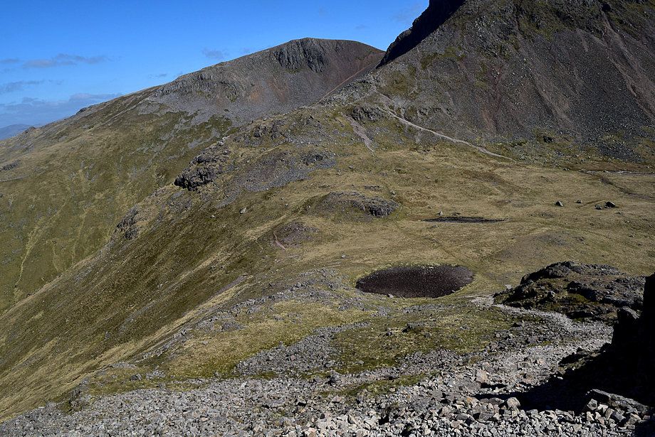
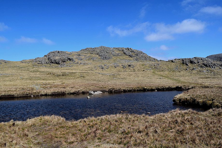
| There are actually two tarns on the saddle although at the time of this walk the smaller, and shallower, one on the left had completely dried up |
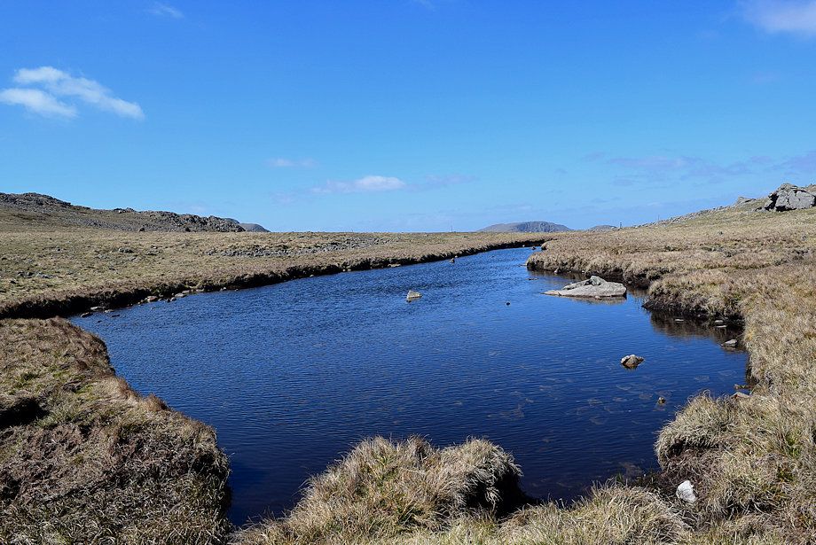 |
| Kirkfell Tarn |
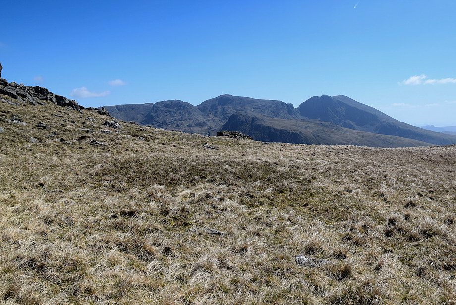 |
| The Scafells from Kirkfell Tarn |
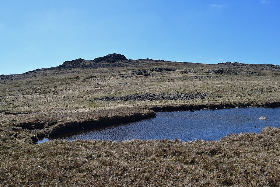 |
| The summit of Kirk Fell from Kirkfell Tarn |
 |
| Looking back to Kirk Fell's north top from Kirk Fell Tarn |
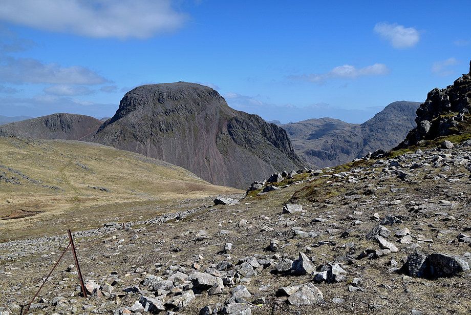 |
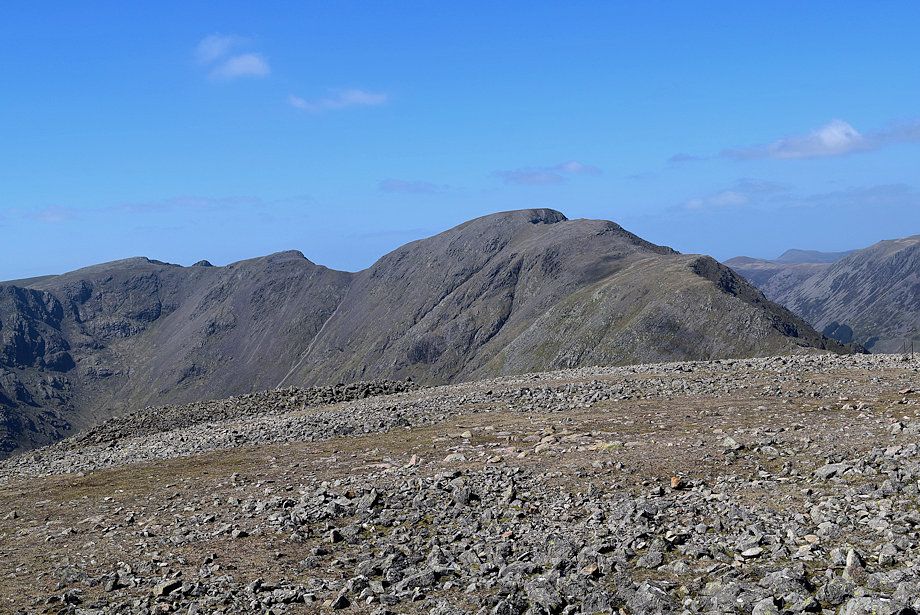
| Great Gable from the climb to Kirk Fell's summit |
 |
| Looking back to Kirkfell Tarn and the north top |
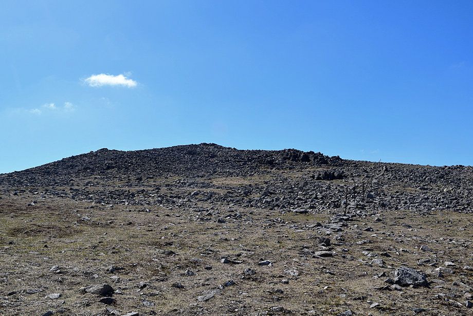 |
| Approaching the summit of Kirk Fell |
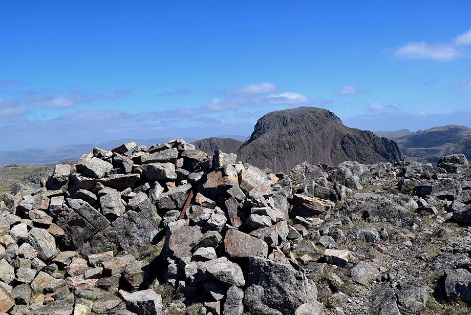 |
| The summit cairn on Kirk Fell |
 |
| The Helvellyn range on the horizon from the summit of Kirk Fell |
 |
| Skiddaw and Blencathra on the distant horizon from the summit of Kirk Fell |
 |
| High Stile, High Crag, Grasmoor, Wandope, Eel Crag and Sail from the summit of Kirk Fell |
 |
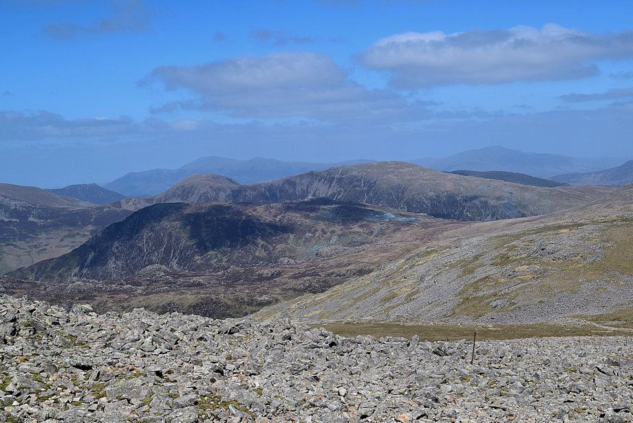
| Scoat Fell, Steeple, Black Crag and Pillar from the summit of Kirk Fell |
 |
| Middle Fell over Yewbarrow, Seatallan and Red Pike |
 |
| Wast Water from the summit of Kirk Fell |
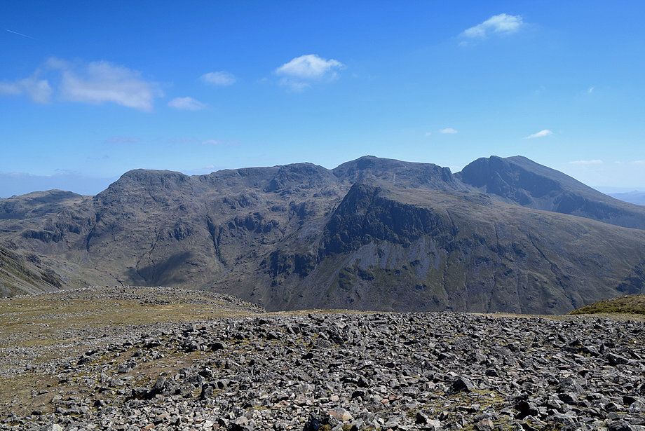 |
| The Scafell group from the summit of Kirk Fell |
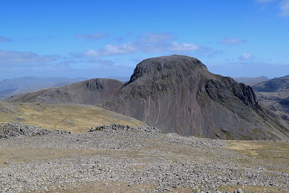 |
| Green Gable and Great Gable from the summit of Kirk Fell |
