|
| A parking area on the Santon Bridge ~ Eskdale Green road is the starting point for this walk |
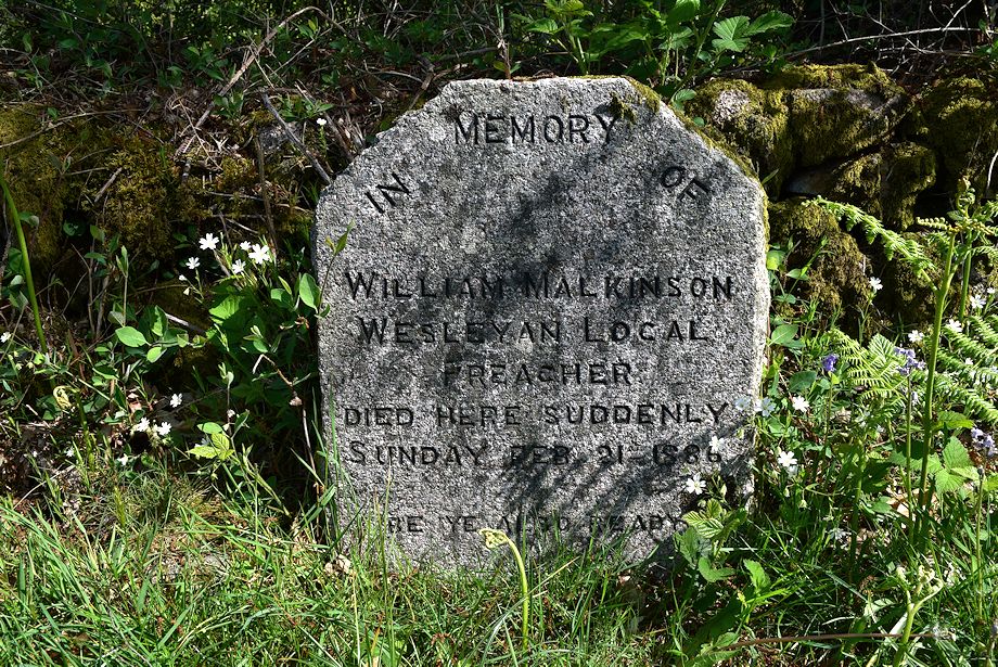 |
| Before embarking on the short climb to Irton Pike we walk back along the road towards Santon Bridge for about 250 yards to visit a memorial which AW mentions in the Irton Pike chapter in his guide to the Outlying Fells |
 |
| Irton Pike from the William Malkinson memorial |
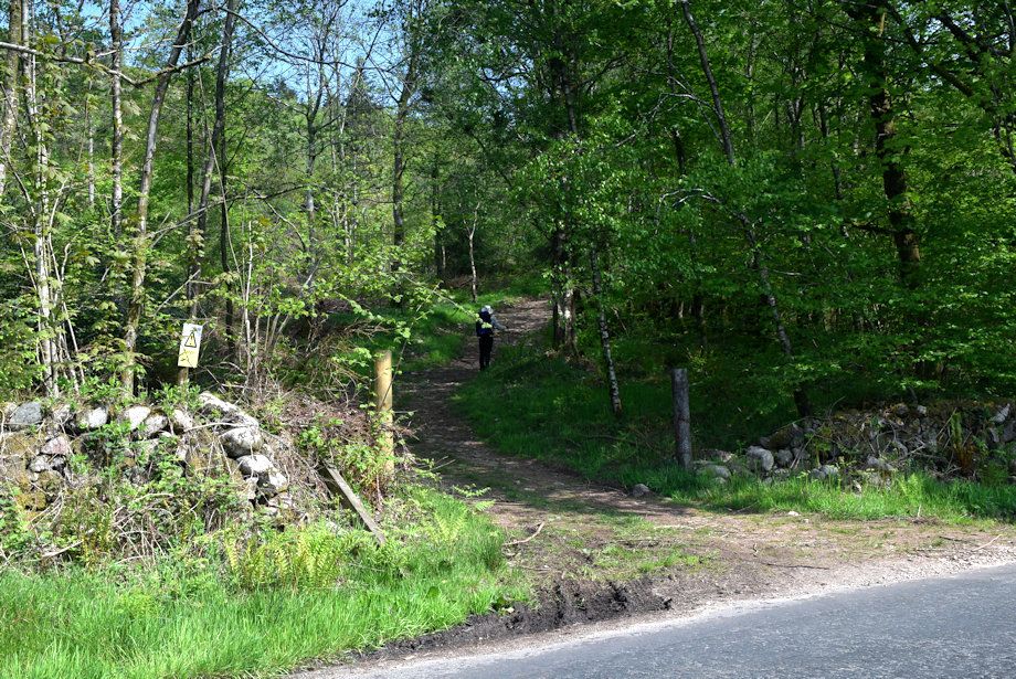 |
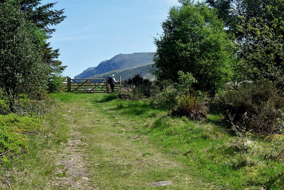
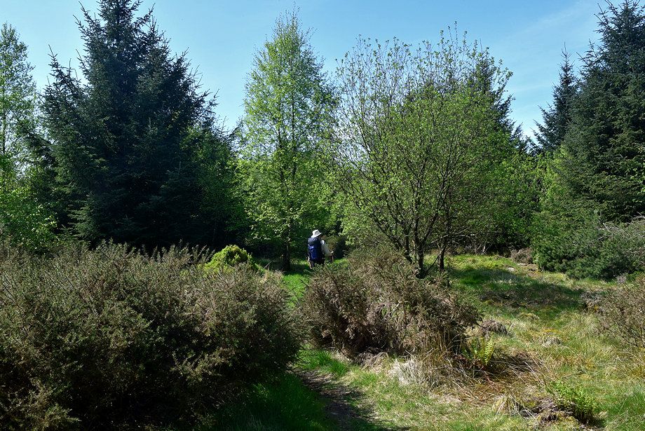
| A short distance above the car park is the start of a path which leads to Wasdale |
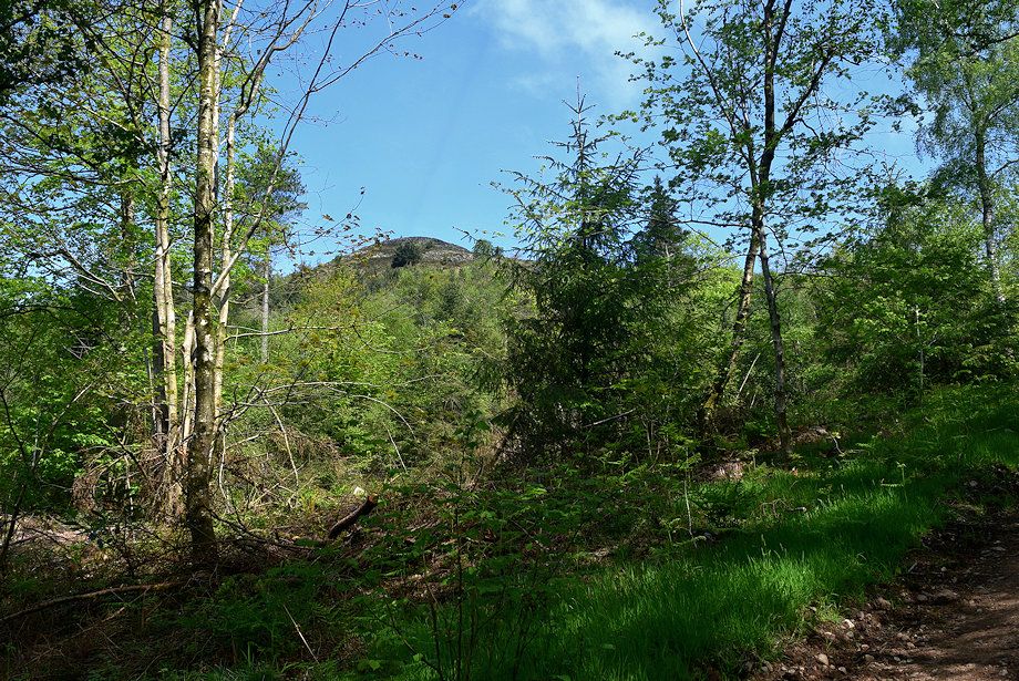 |
| Looking up to the summit of Irton Pike from the path which initially follows a forestry track through Ainhouse Plantation. The lower slopes of the fell which were clear felled a few years ago have been re-planted ..... |
 |
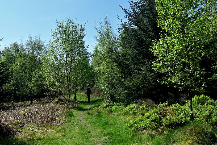
| ..... and the lower section of the track has been widened since our last visit |
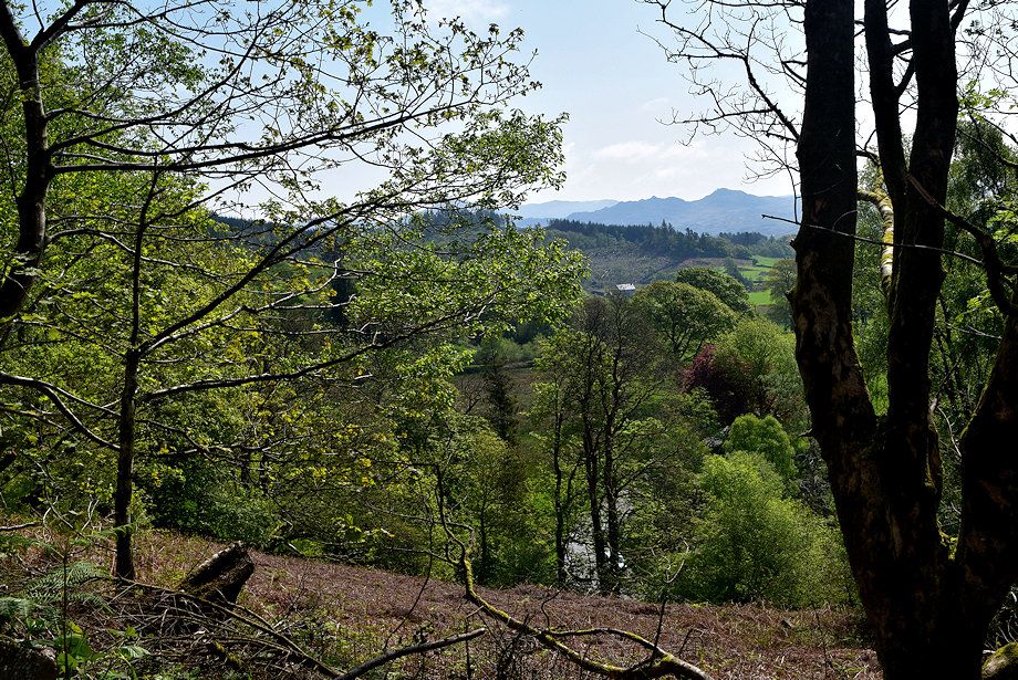 |
| A clearing in the plantation gives a brief view over to Crook Crag and Green Crag |
 |
| A third of a mile from the roadside a path leads off to the left which enables a slightly shorter route to the summit but we continue straight ahead on the path to Wasdale |
 |
| We reach the the top of the plantation at a gate and stile which gives access to Mecklin Park |
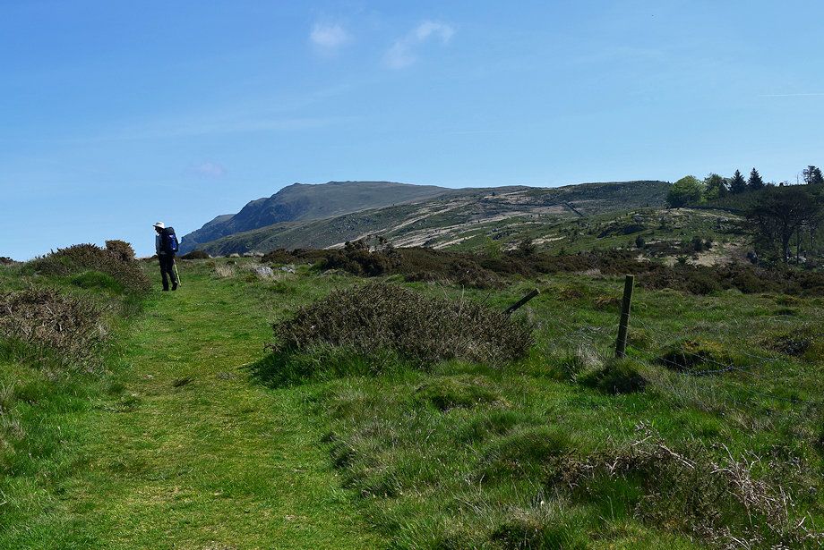 |
| Mecklin Park, an extensive landscape of gorse bushes and boulders |
 |
| Muncaster Fell over the top of Ainhouse Plantation from Mecklin Park |
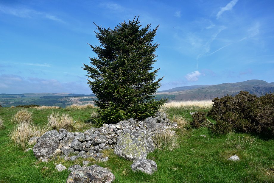 |
| To the left of the path is a 'heap of stones' which puzzled AW when he wrote his guide to the Outlying Fells. Later editions of the OS maps identify it as a prehistoric Cairn Ring, perhaps dating back to the early bronze age. There are at least 30 more cairns nearby, some of them funerary. The Mecklin Park Cairnfield is a Scheduled Ancient Monument |
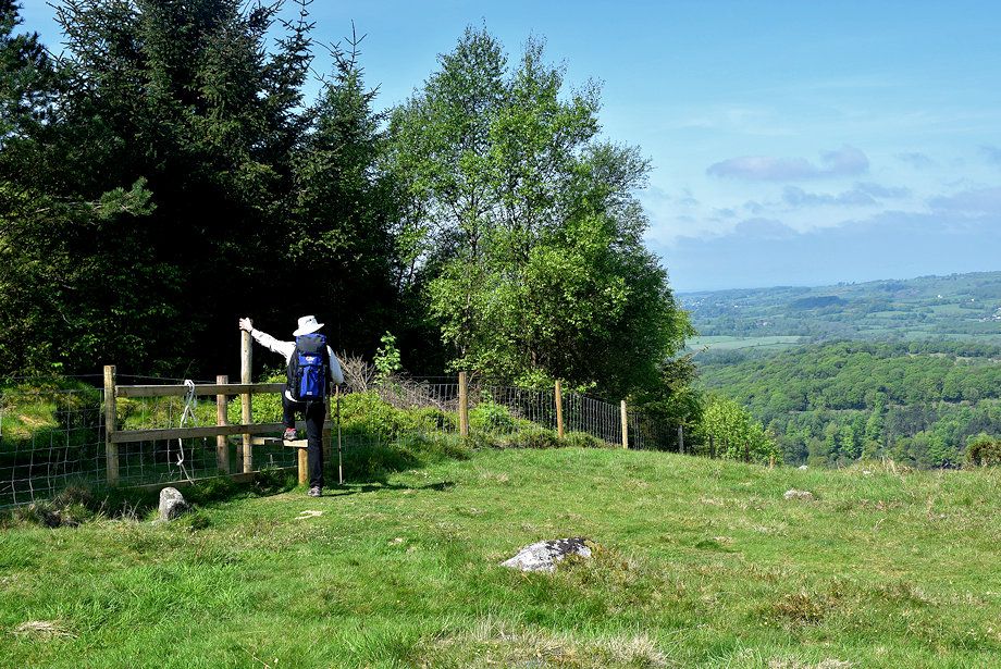 |
| After visiting the cairn we re-enter the plantation via a stile |
 |
| Latterbarrow Crag from the stile with Caw Fell, Seatallan, Scoat Fell and Middle fell on the horizon |
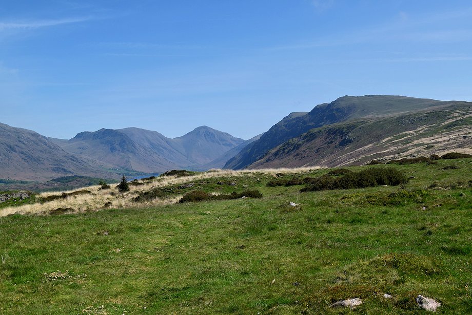 |
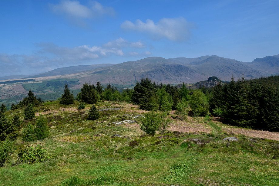
| Yewbarrow, Kirk Fell, Great Gable and Whin Rigg from the stile |
 |
| The path to the summit of Irton Pike continues straight ahead from the stile, ignore one that turns off to the left 70 yards beyond the stile |
 |
| The summit of Irton Pike lies a third of a mile of virtually level walking from the stile |
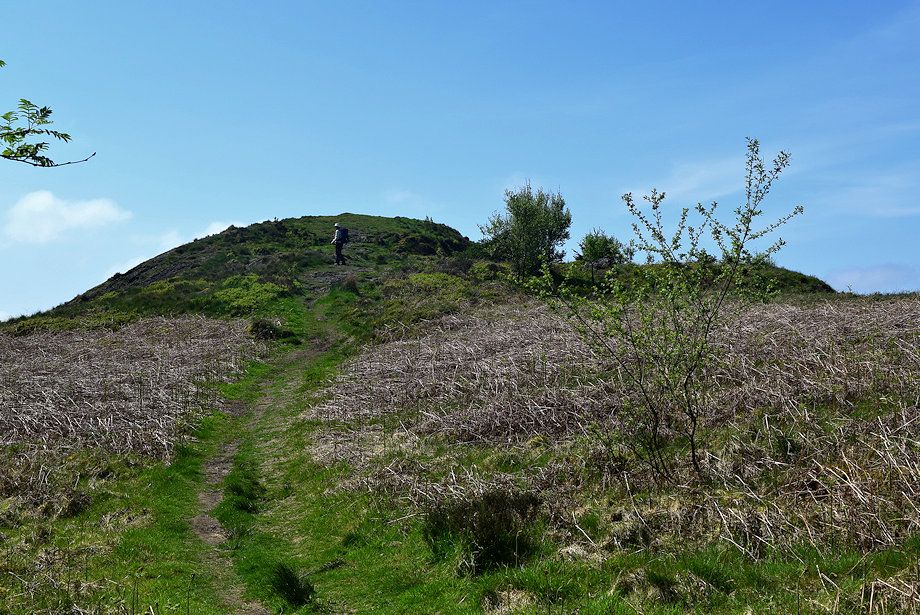 |
| The summit of Irton Pike |
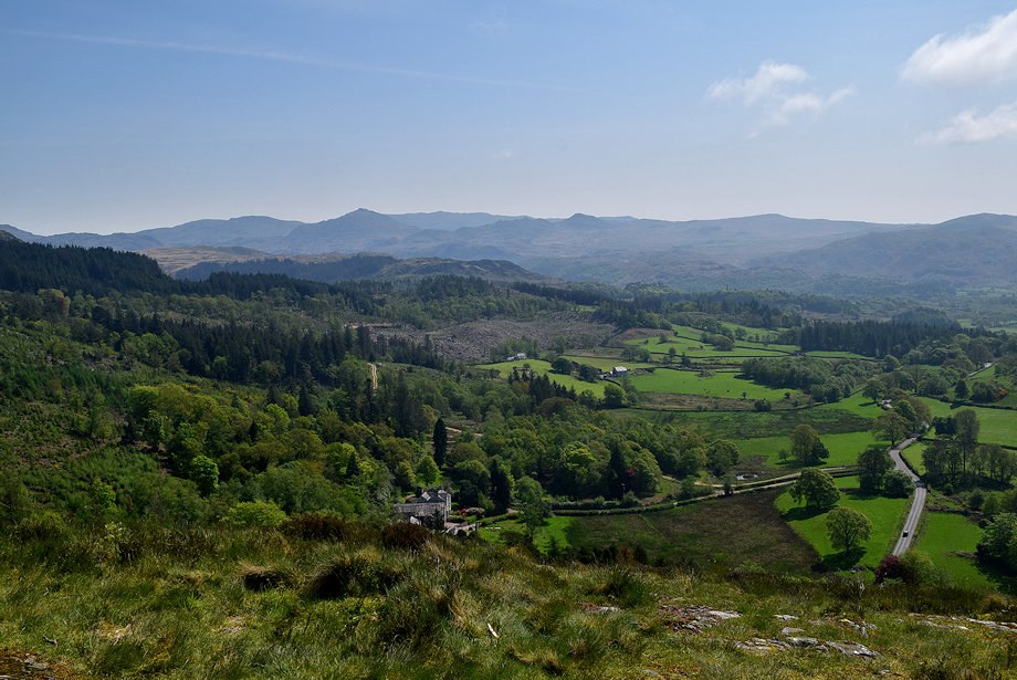 |
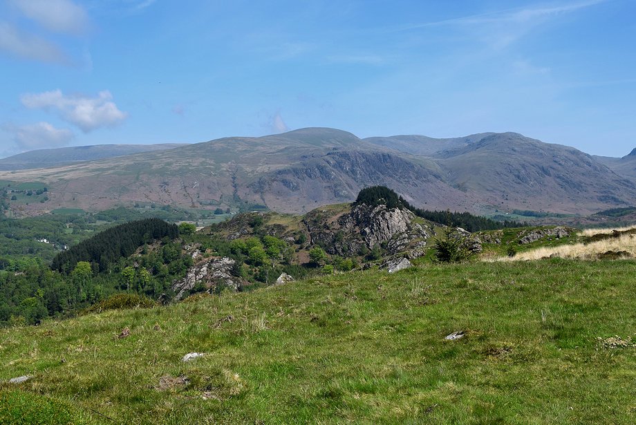
| Swirl How, Harter Fell, Coniston Old Man, Green Carg and Caw from the summit of Irton Pike |
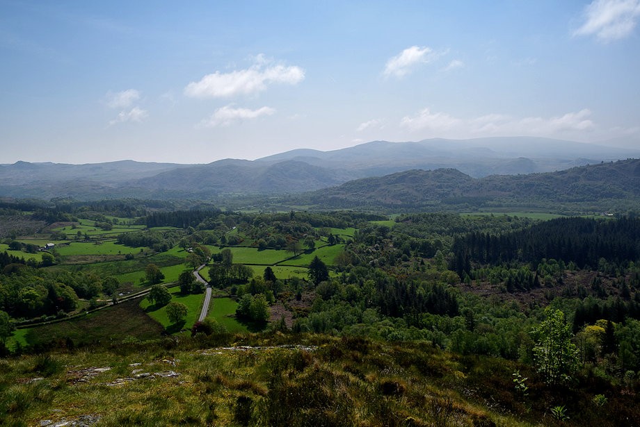 |
| Rough Crag, Hesk Fell and Yoadcastle from the summit of Irton Pike |
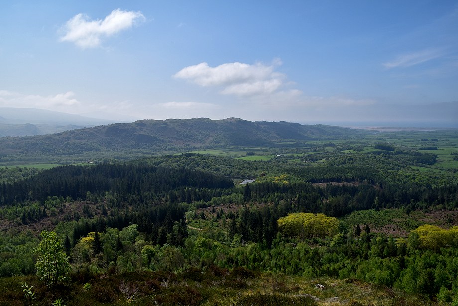 |
| Muncaster Fell from the summit of Irton Pike |
 |
| Caw Fell, Seatallan, Scoat Fell and Middle Fell from the summit of Irton Pike |
 |
| Red Pike, Yewbarrow, Kirk Fell, Great Gable and Whin Rigg from the summit of Irton Pike |