 |
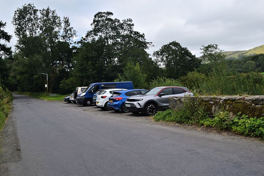
| A small parking area just beyond Barley Bridge on the Kentmere Road north of Staveley is a convenient starting point for this walk. However it does tend to fill up early which leaves no alternative but to park in the village |
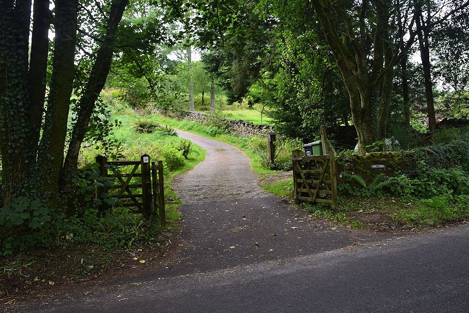 |
| From the parking area walk along Kentmere Road for 500 yards and turn up the private drive to Hill Side cottage, a sign on the gate shows it allows access for walkers to Hugill Fell |
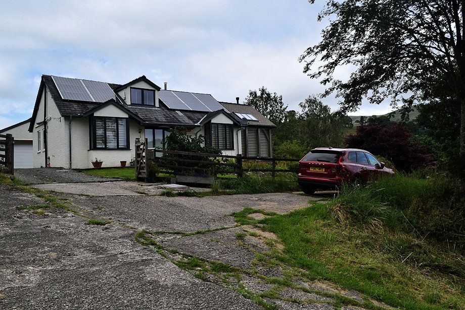 |
| Continue past Hill Side cottage |
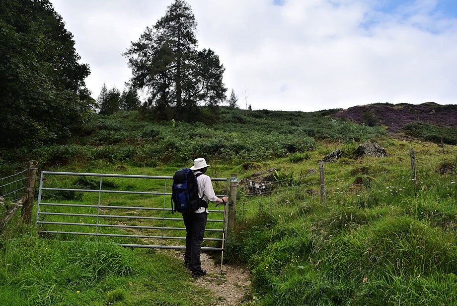 |
| A field gate above the cottage gives access to the open fellside |
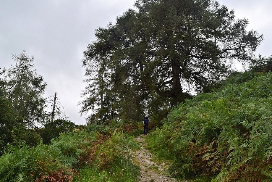 |
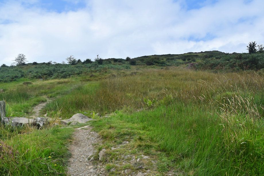
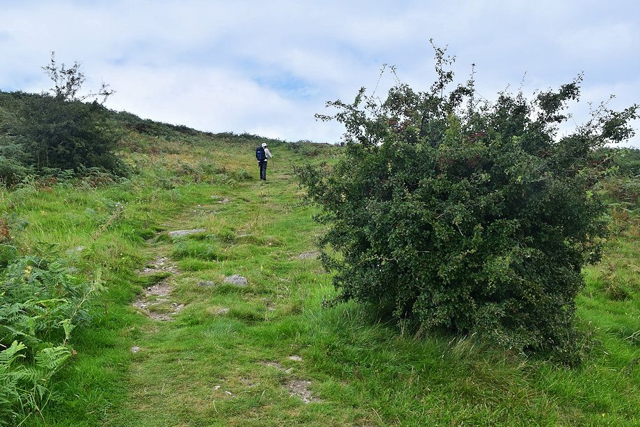
| The continuing path passes through a larch coppice |
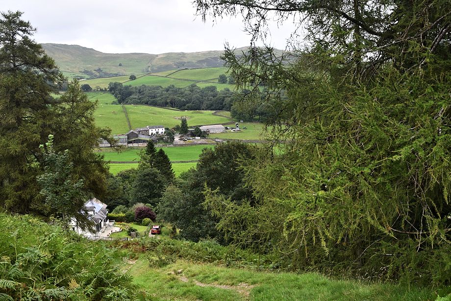 |
| Looking back to Hill Side cottage |
 |
| The path above the coppice is the steepest part of the ascent |
 |
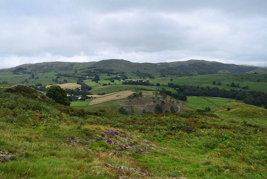
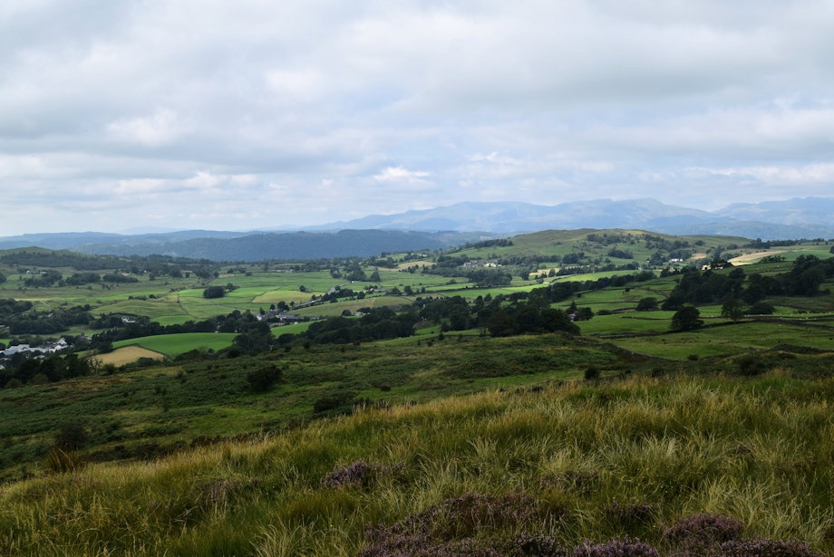
| Looking back to the lower part of the Kentmere Valley |
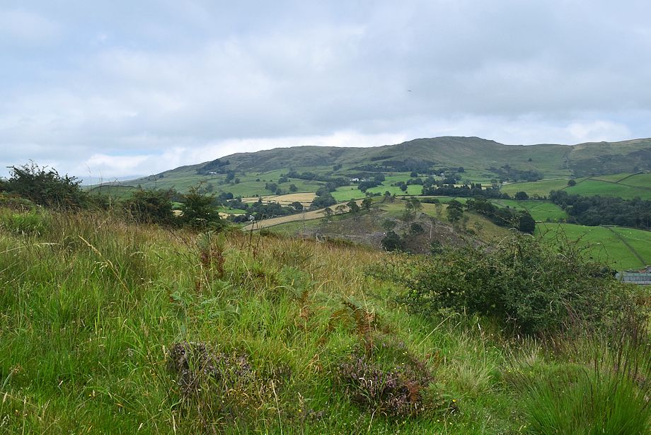 |
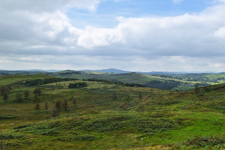
| Looking over to Sleddale Forest and Brunt Knott |
 |
| The angle of the slope eases as the path runs along the side of a stream ..... |
 |
| .... before resuming its climb up to Black Crag |
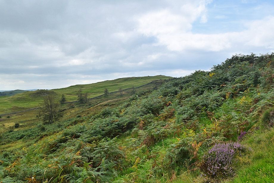 |
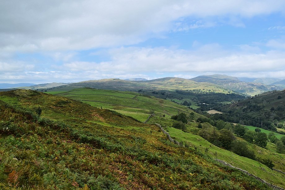
| Looking over towards Reston Scar |
 |
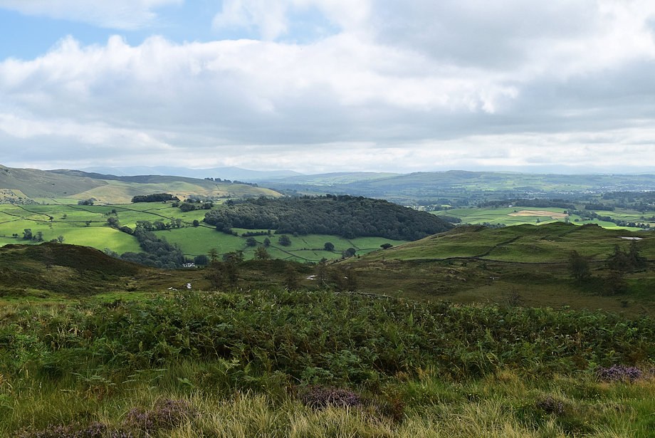
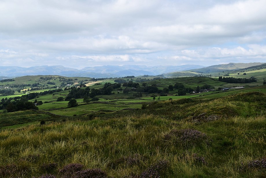
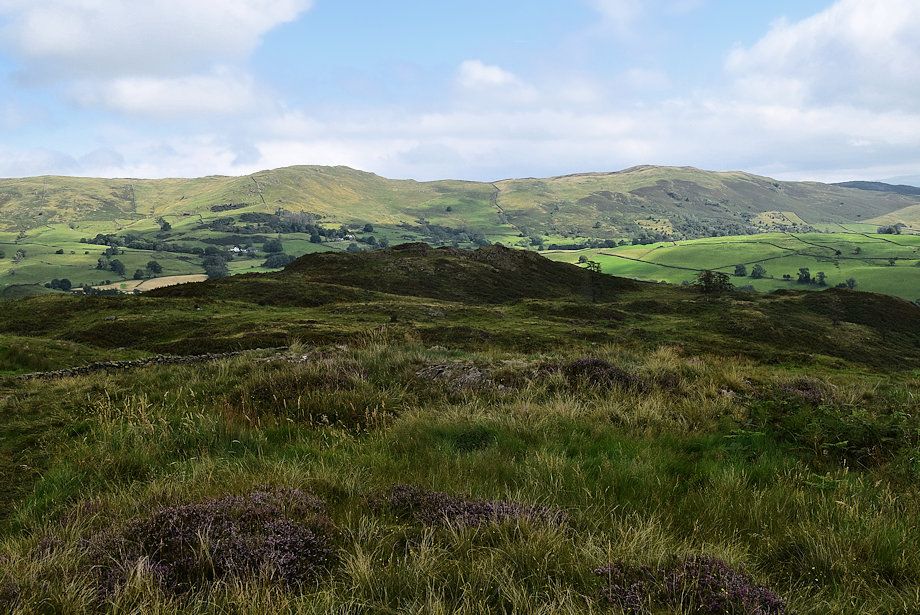
| Looking back to Sleddale Forest, Brunt Kott and Potter Fell |
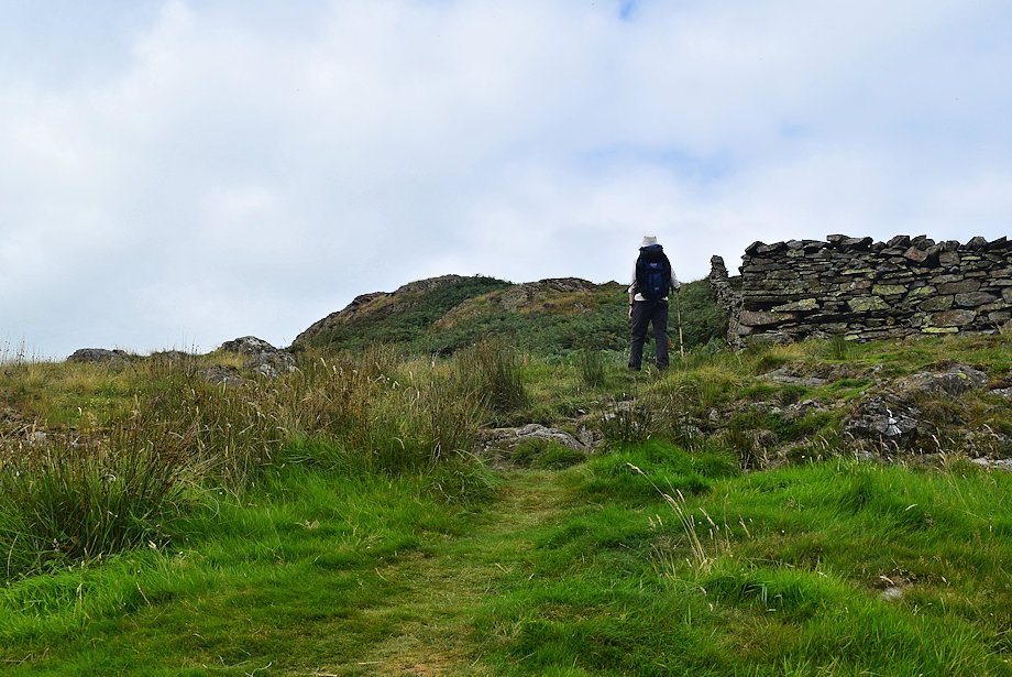 |
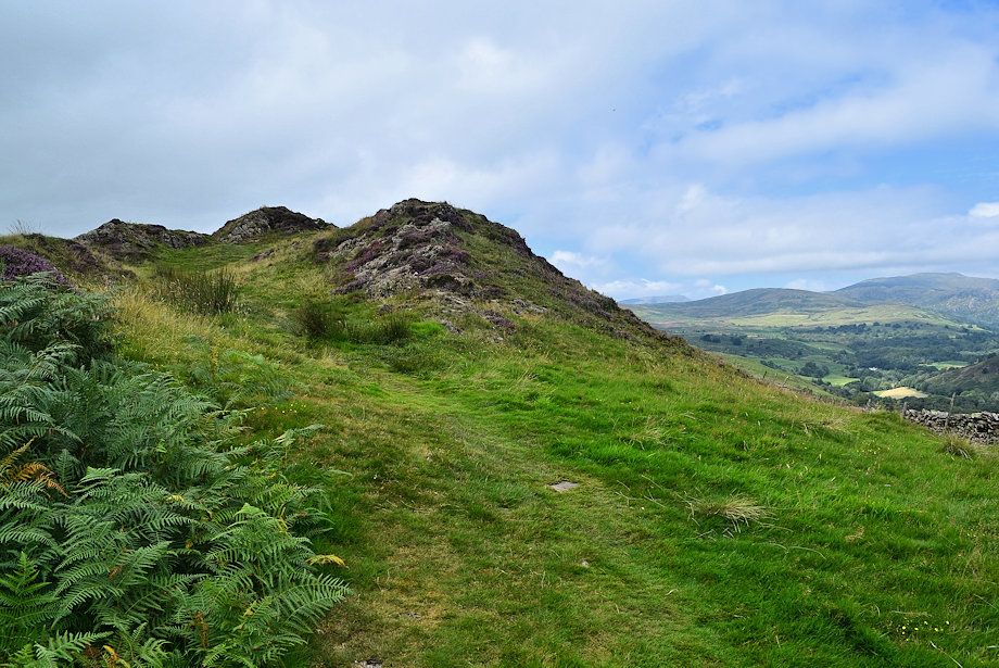
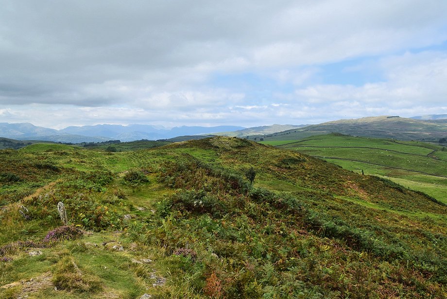
| On reaching a wall corner Black Crag comes into view which Wainwright considered to be the summit of Hugill Fell |
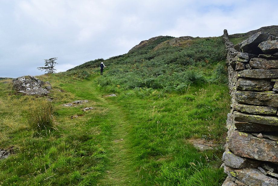 |
| Climbing up to Black Crag |
 |
| Looking back to the wall corner |
 |
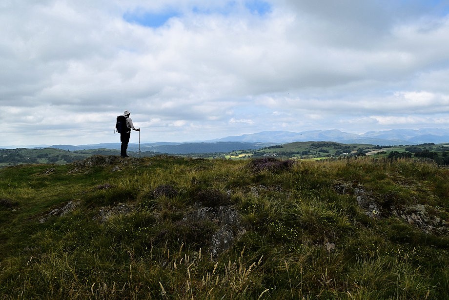
| Approaching the Wainwright summit |
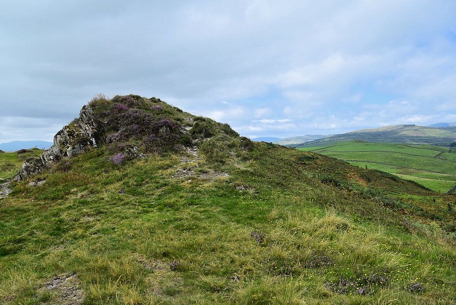 |
| Wainwright's summit on Hugill Fell |
 |
| Sledddale Forest and Potter Fell over Elfhowe Hill From Wainwright's summit |
 |
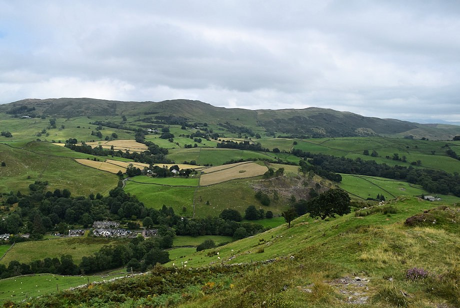
| The Kentmere Valley from Wainwright's summit |
 |
| Looking north-west, Wansfell Pike, Sour Howes, Red Screes, Sallows, Yoke and Ill Bell form the horizon |
 |
| Wetherlam, Crinkle Crags, Bowfell, scafell, Scafell Pike, the Langale Pikes and High Raise on the left horizon |
 |
| The Coniston Fells in the centre |
 |
| The highest point of Hugill Fell lies just under a quarter of a mile from the Wainwright summit |
 |
| Birch Fell and Gummer's How stand prominent on the centre horizon |
 |
| Whitbarrow and Morecambe Bay |
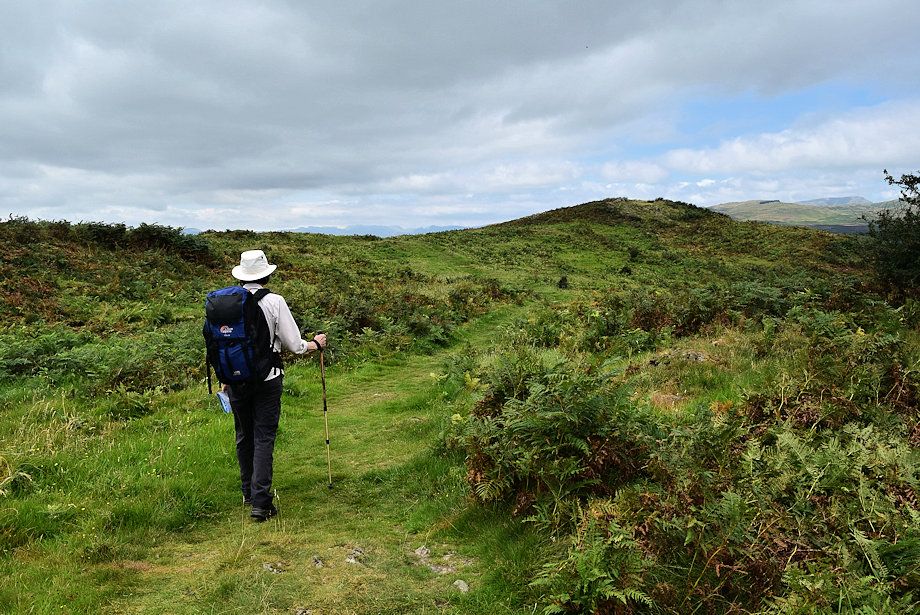 |
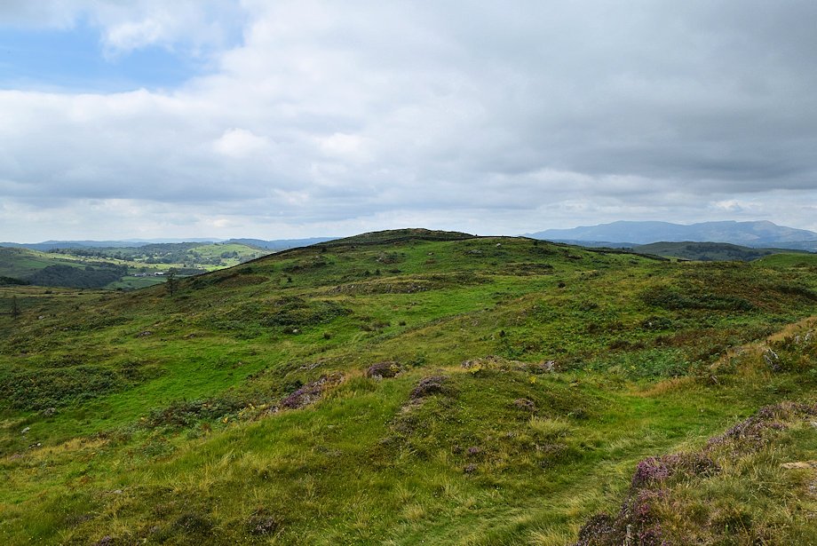
| Heading along the ridge to Hugill Fell's highest point |
 |
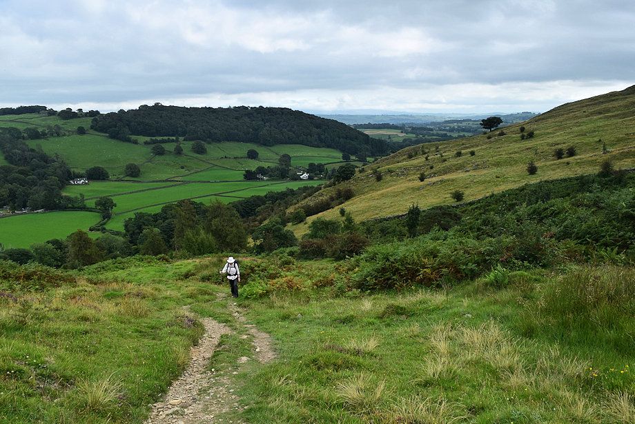
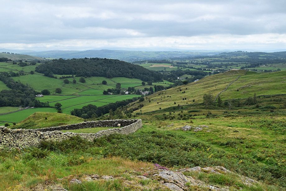
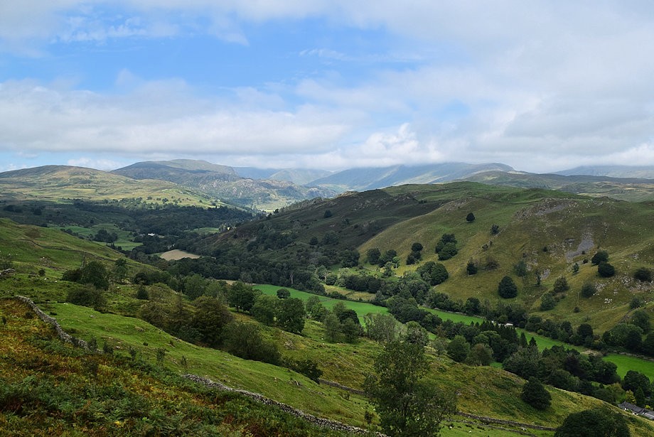
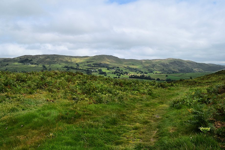
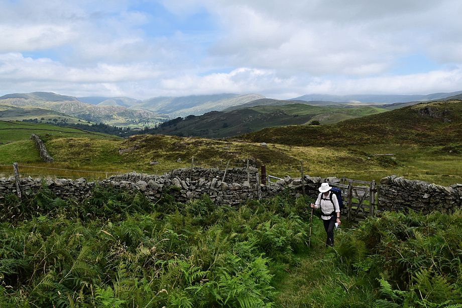
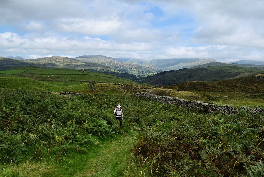
| Looking across to the head of Kentmere from the ridge path |
 |
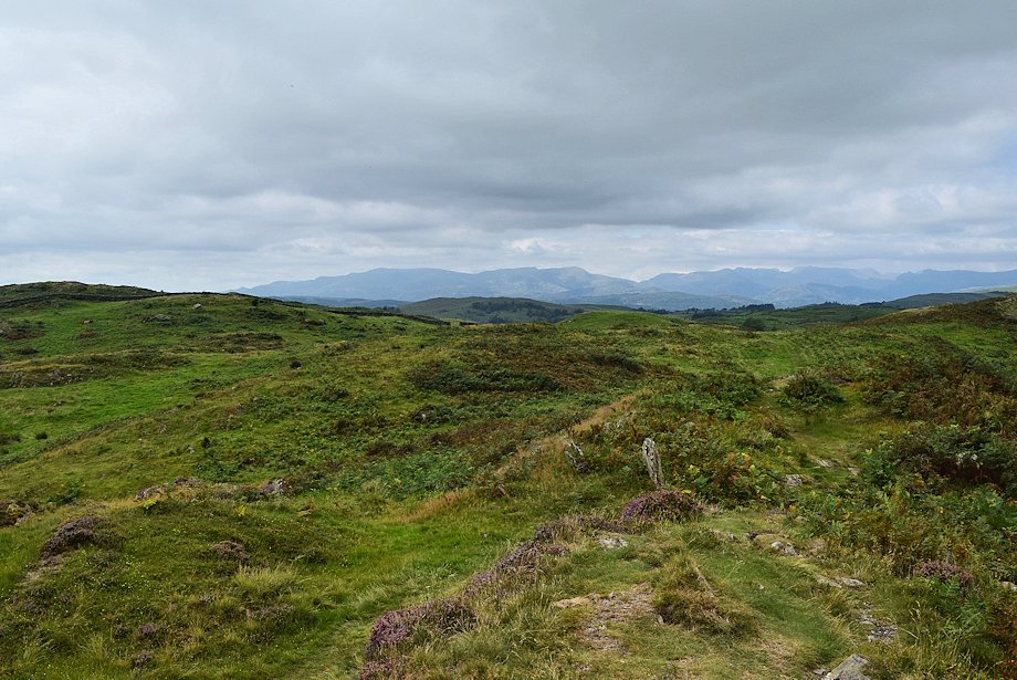
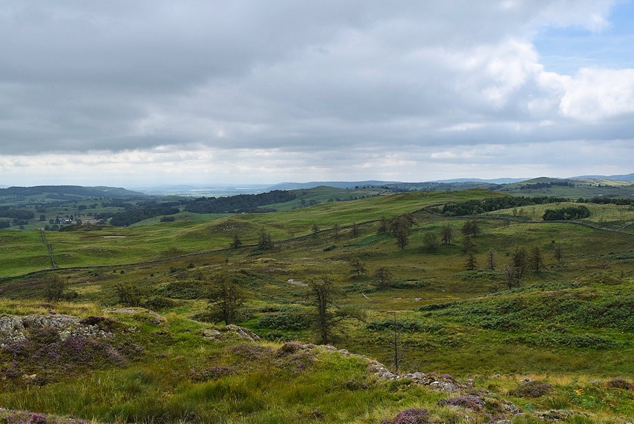
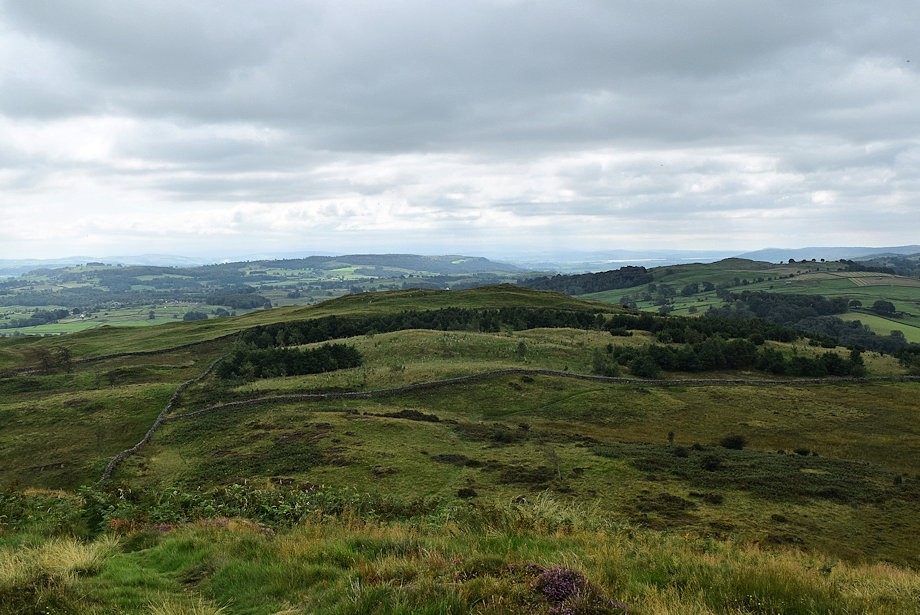
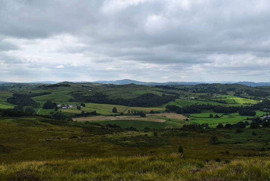
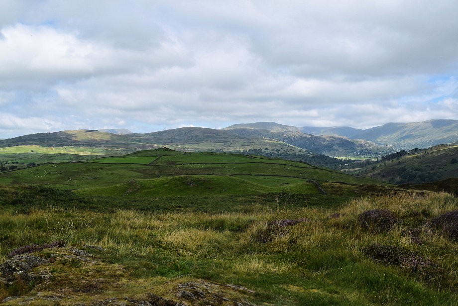
| Sleddale Forest, Brunt Knott and Potter Fell from the ridge path |
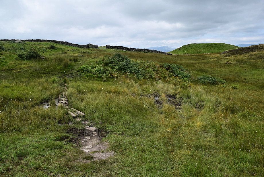 |
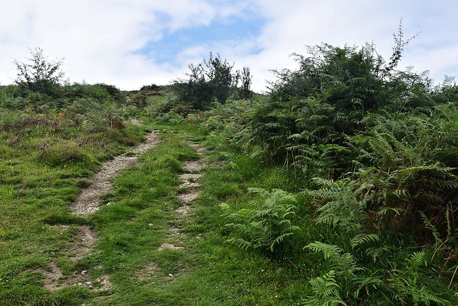
| The path rises towards field gate |
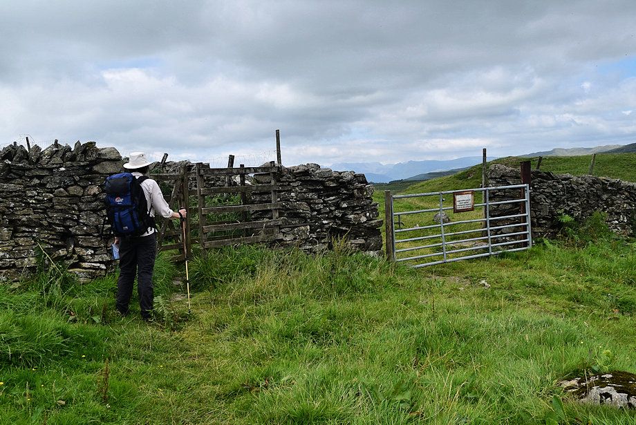 |
| The field gate leads into private land |
 |
| A handgate to the left of the field gate allows access to the highest point of Hugill Fell |
 |
| A clear path path through the bracken leads up the true summit of Hugill Fell |
 |
| The summit of Hugill Fell |
 |
| Birkhag Wood on Piked How from the summit of Hugill Fell |
 |
| Reston Scar from the summit of Hugill Fell |
 |
| Birch Fell and Gummer's How on the centre horizon |
 |
| The Coniston group of fells |
 |
| Looking west northwest to a hazy outline of fells which include, amongst others, Crinkle Crags, Bowfell, the Scafells, the Langdale Pikes and High Raise |
 |
| Sour Howes, Red Screes, Sallows Yoke, Ill Bell, High Street, Mardale Ill Bell, Harter Fell and Kentmere Pike form the horizon |
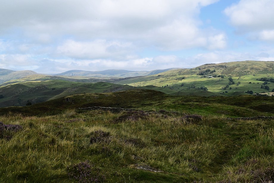 |
| Shipman Knotts, Tarn Crag and Ancrow Brow on the distant horizon |
 |
| Brunt Knott and Potter Fell over Black Crag, Wainwright's summit |