 |
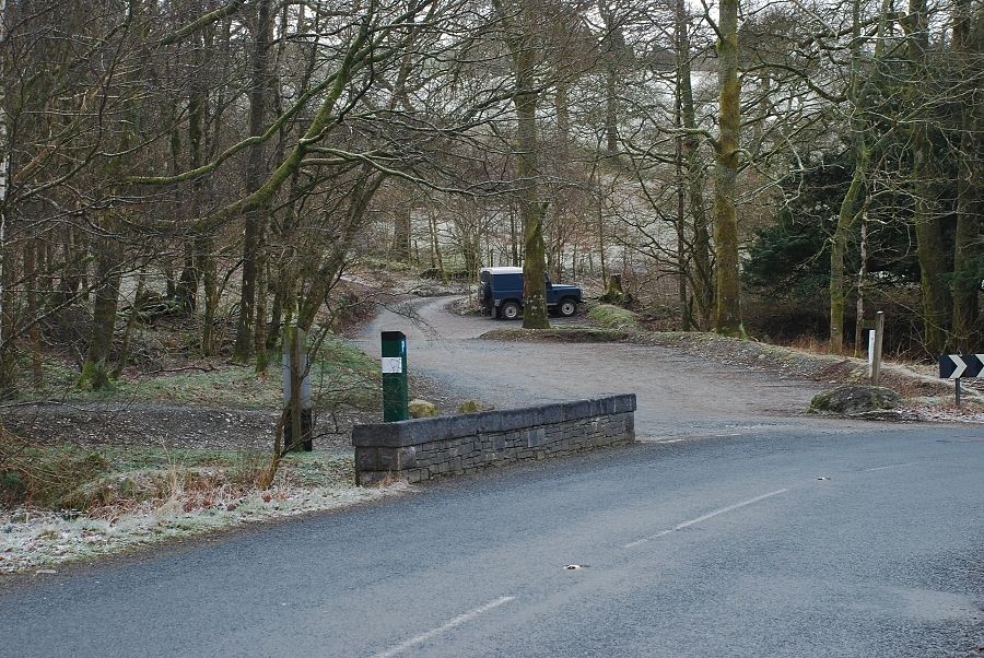
| The National Trust car park by Glen Mary Bridge (pay & display) there is also a lay-by beside Yew Tree Tarn |
 |
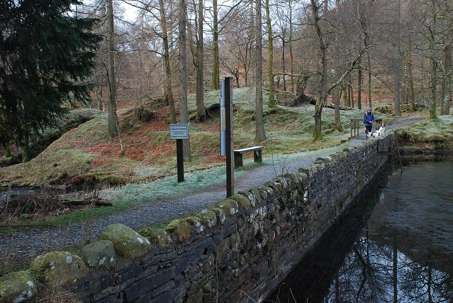
| A path from the car park avoids the need to walk along the road to reach Yew Tree Tarn |
 |
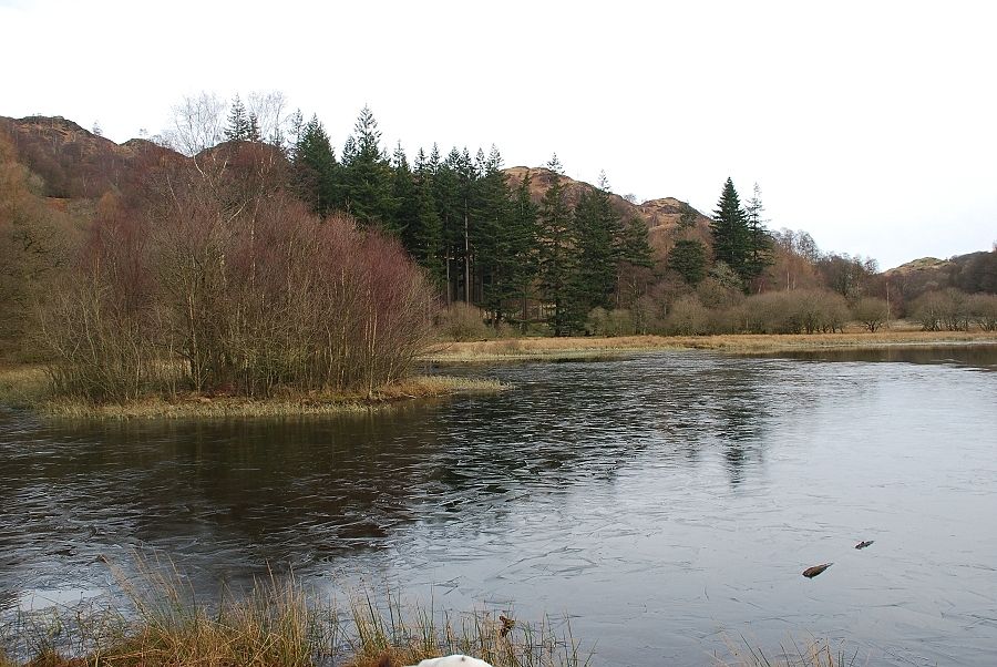
| Yew Tree Tarn dam, a wide path skirts the western side of the tarn |
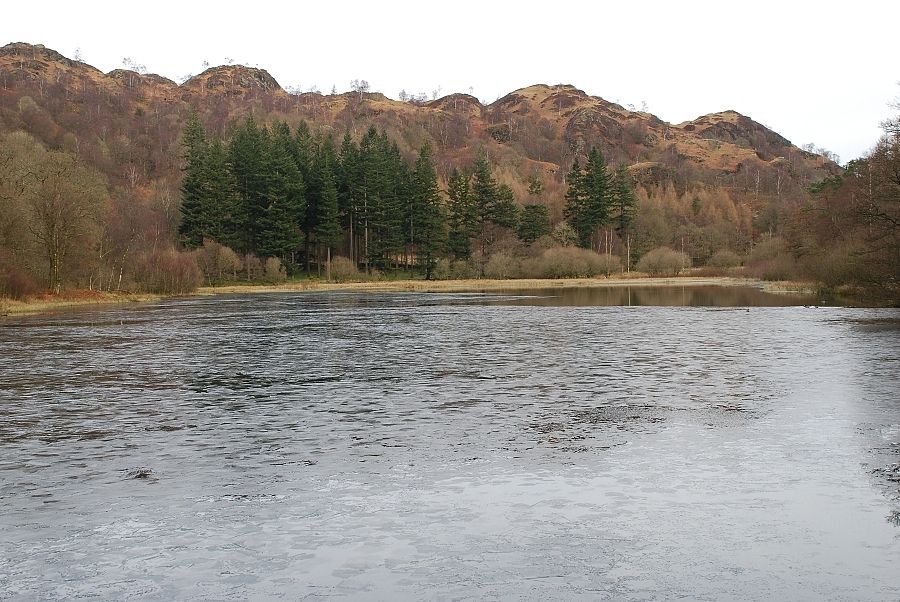 |
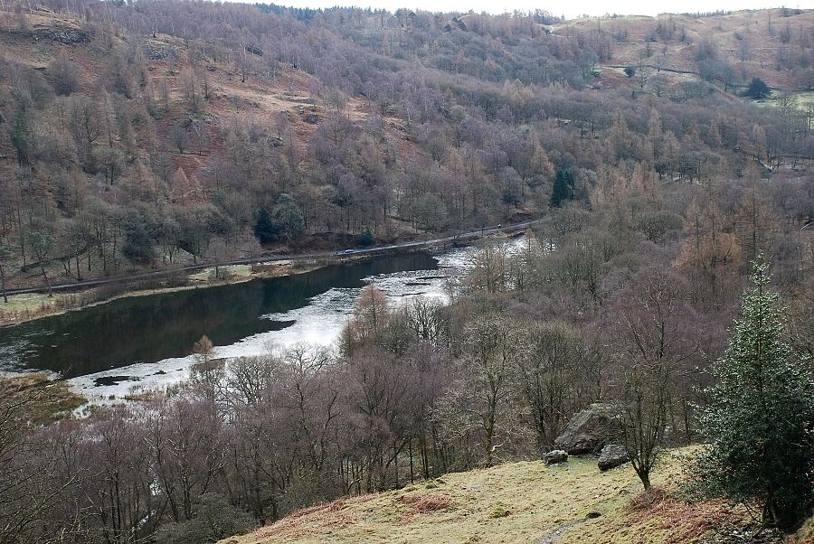
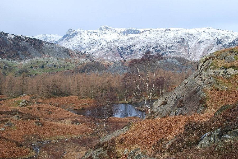
| Looking along the length of the tarn from the dam to the undulating north ridge of Holme Fell |
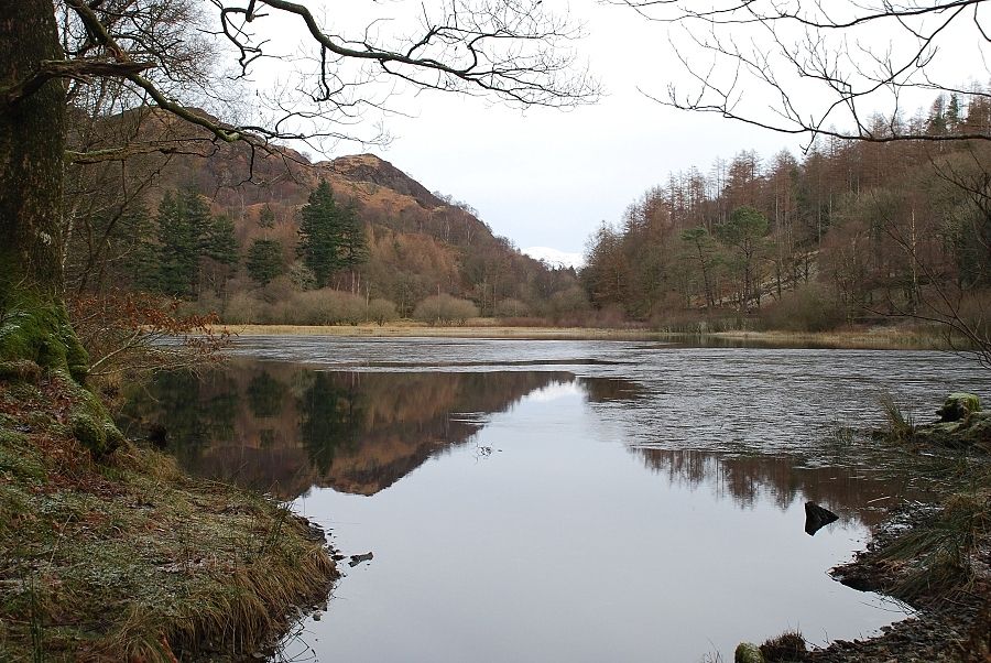 |
| Another view from the path by the tarn |
 |
| Nearing the head of the tarn |
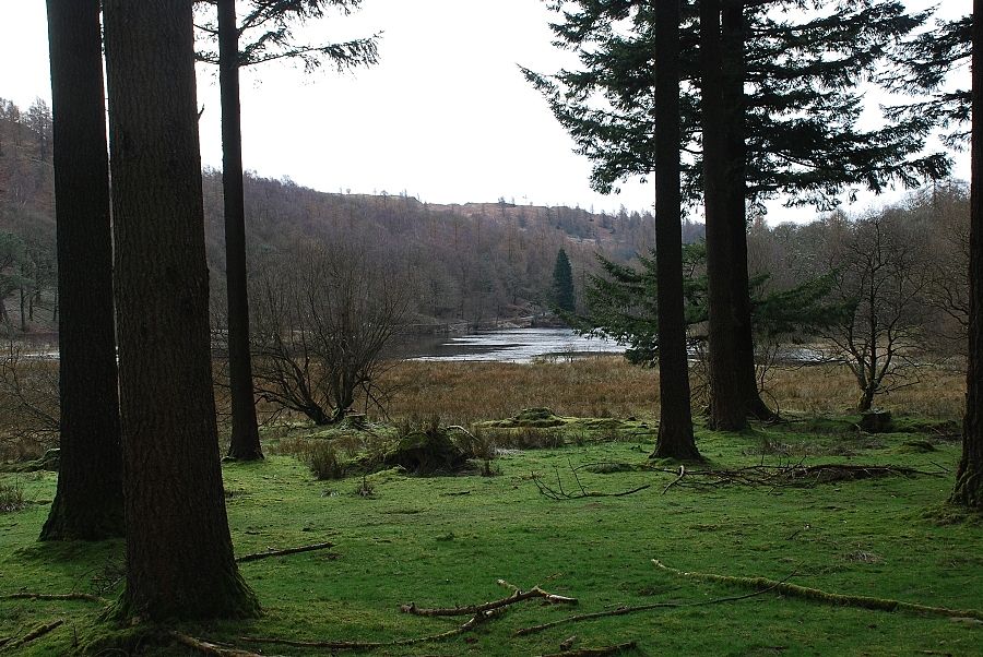 |
| Looking back to the tarn from the fine stand of mature pine trees at its head |
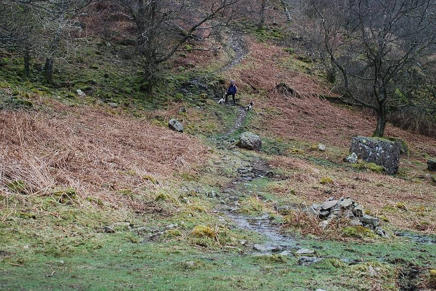 |
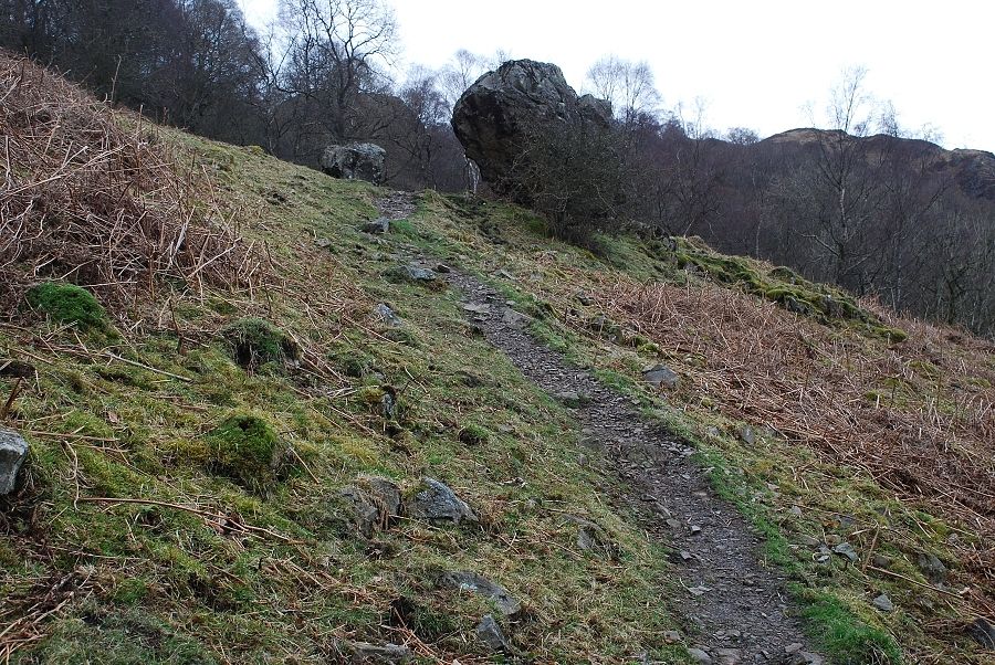
| A gate at the left side of the pines gives access to a path coming from Yew Tree Farm. A few hundred yards along it, by a group of huge boulders, a cairn indicates the start of a path that begins to rise towards Uskdale Gap |
 |
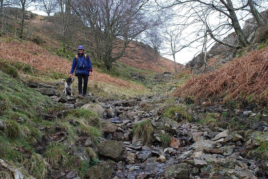
| The path is well graded and has long been used as a way between High Yewdale and Hodge Close on the northern side of the fell |
 |
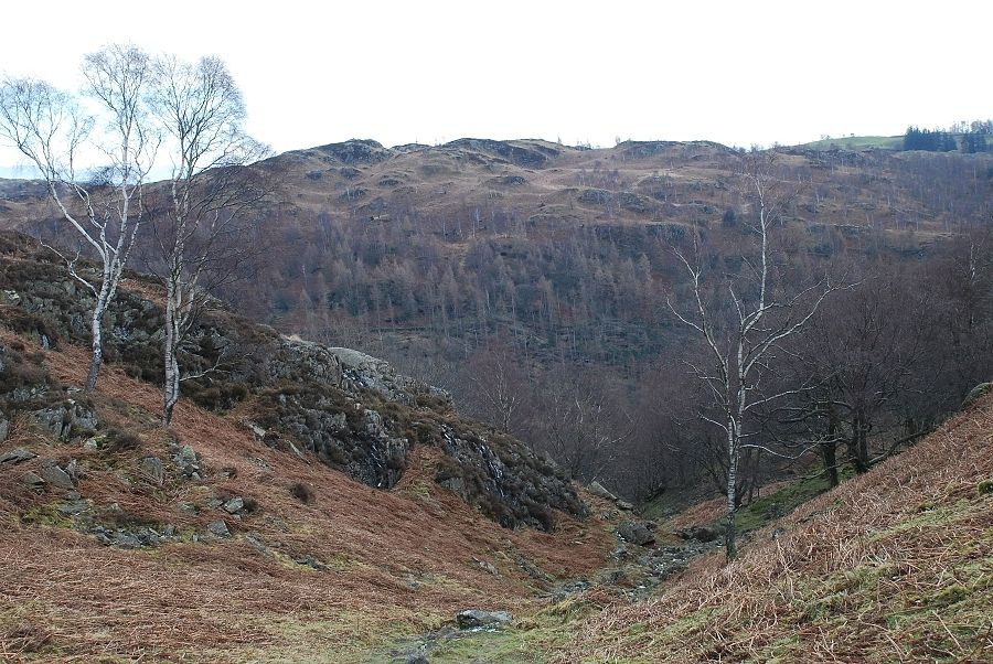
| Looking down to the tarn from the path to Uskdale Gap |
 |
| Nearing the top of Uskdale Gap |
 |
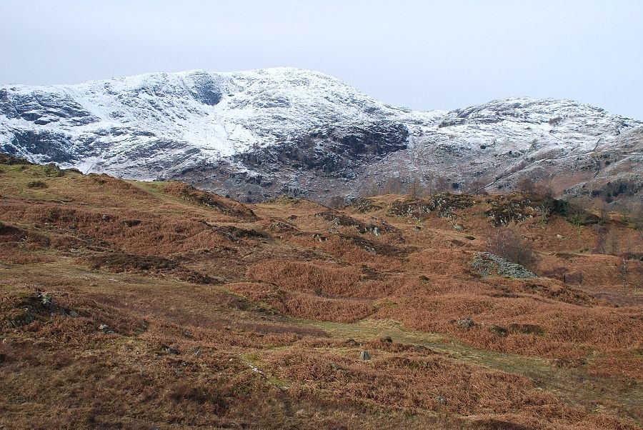
| Looking back from the same point across to Tom Heights |
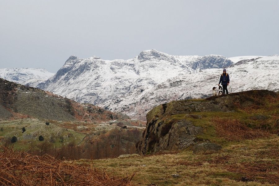 |
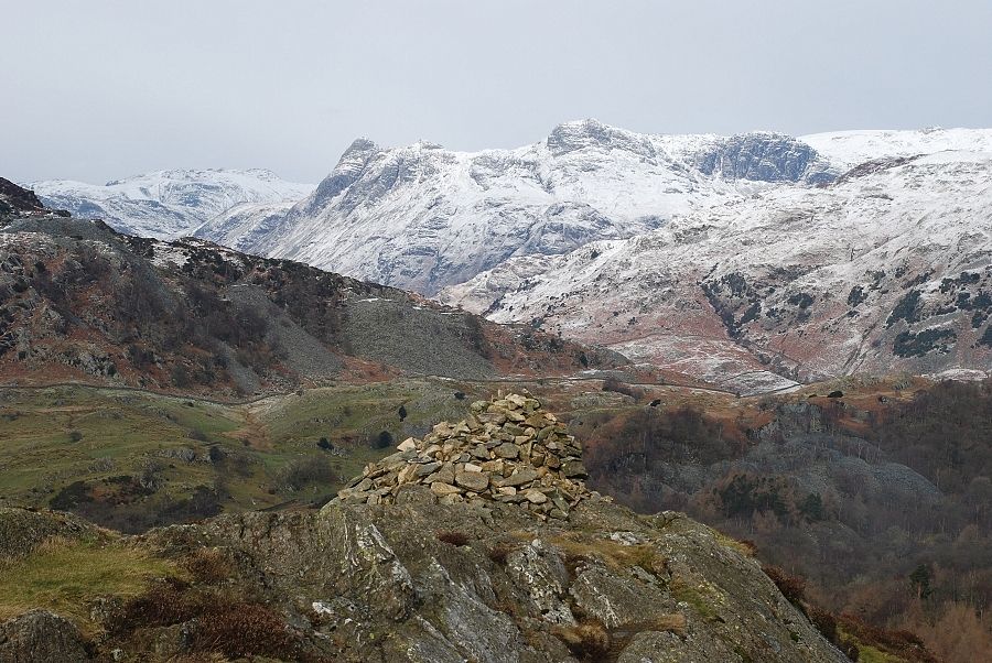
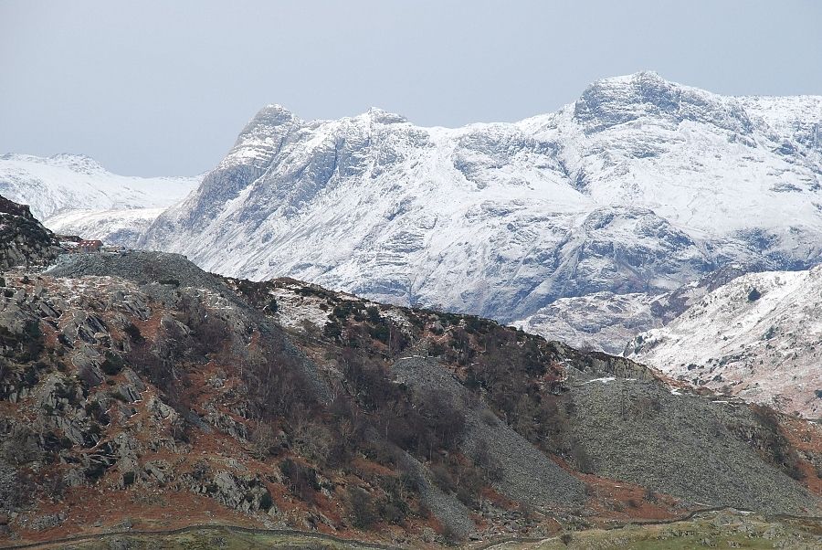
| The Langdale Pikes from Uskdale Gap |
 |
| Looking down to one of the small reservoirs above Hodge Close |
 |
| Wetherlam from Uskdale Gap |
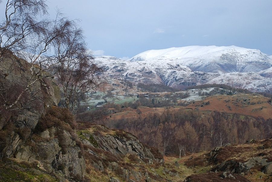 |
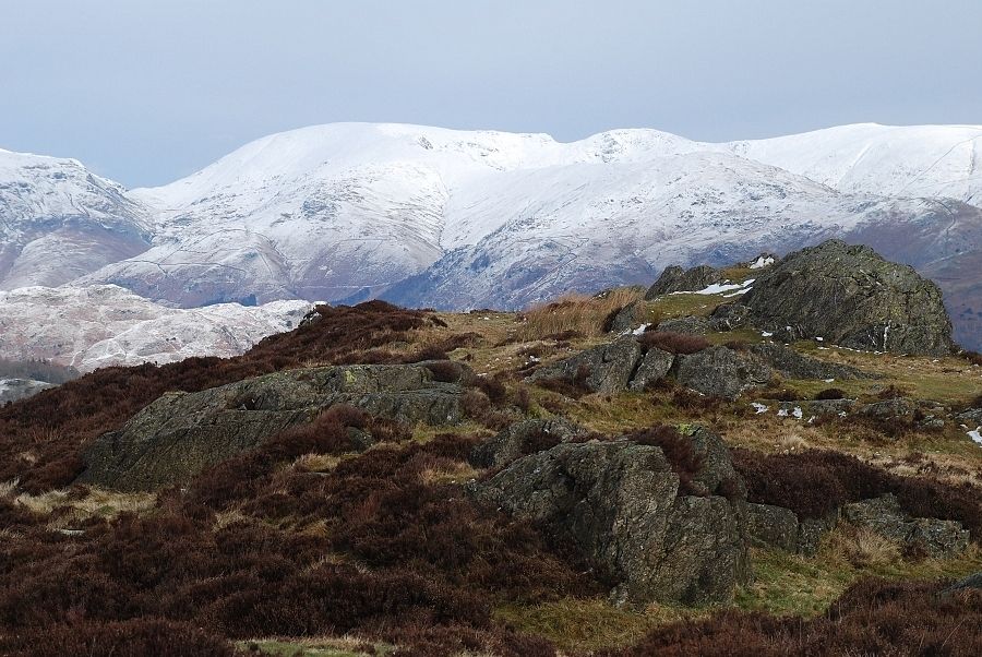
| Looking towards Helvellyn from Uskdale Gap |
 |
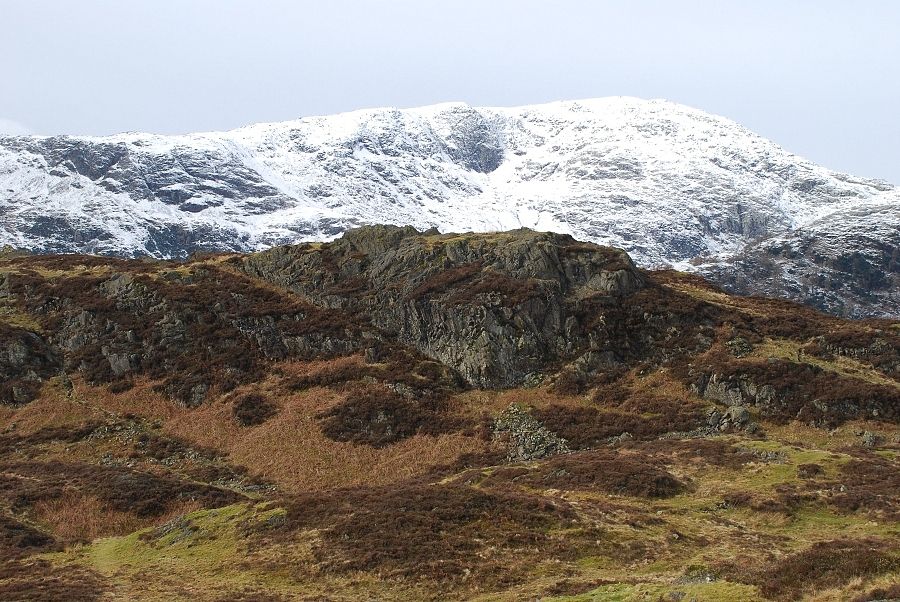
| Looking over Uskdale Gap to Ivy Crag, the summit of Holme Fell lies beyond the rock outcrop on the right |
 |
| The Langdale Pikes from Ivy Crag |
 |
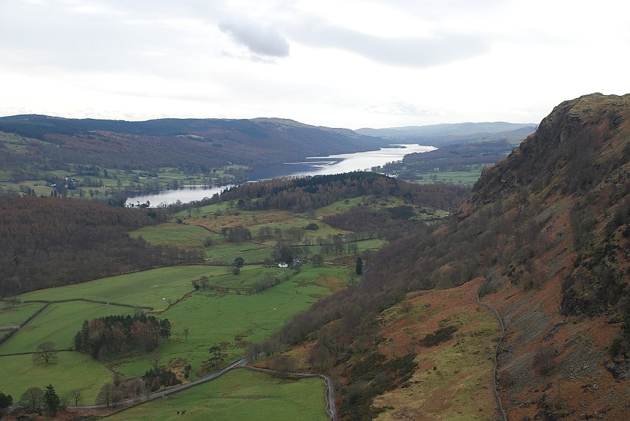
| Coniston Water from Ivy Crag |
 |
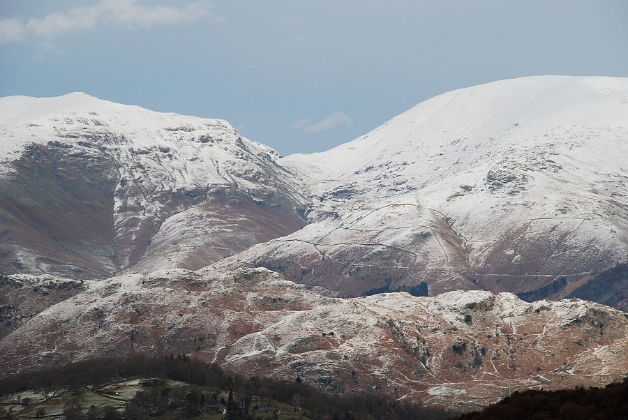
| Black Fell with a snow covered Wansfell and the Ill Bell ridge beyond from Ivy Crag |
 |
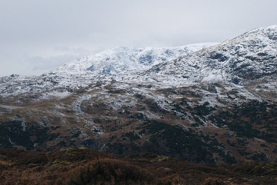
| A closer view towards Helvellyn and Fairfield from Ivy Crag |
 |
| Looking across the summit rib of Holme Fell to Wetherlam from Ivy Crag |
 |
| Looking north from near the summit of Holme Fell |
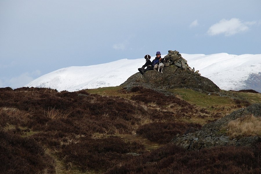 |
| The summit of Holme Fell |
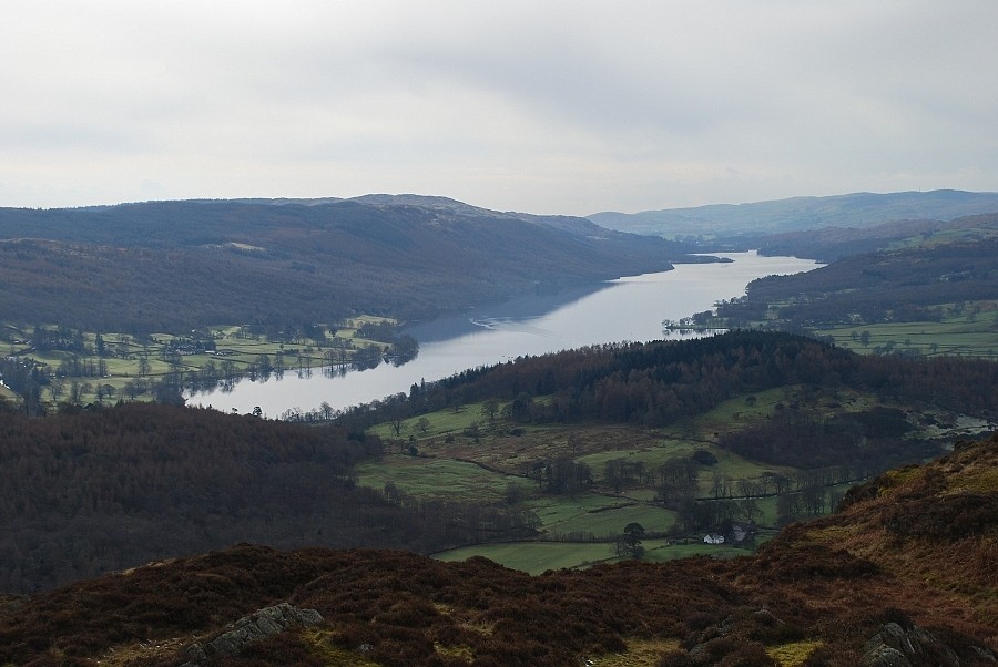 |
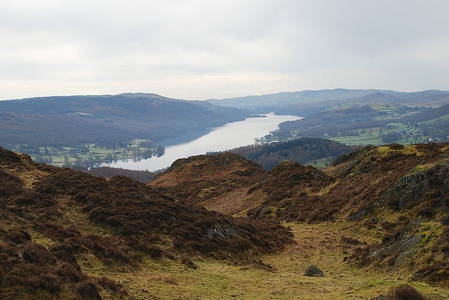
| Coniston Water from Holme Fell |
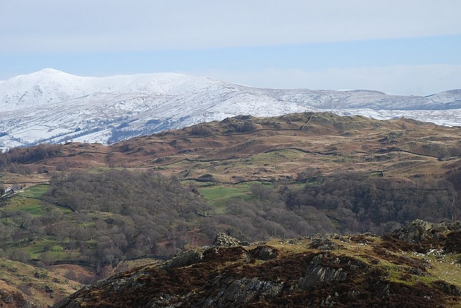 |
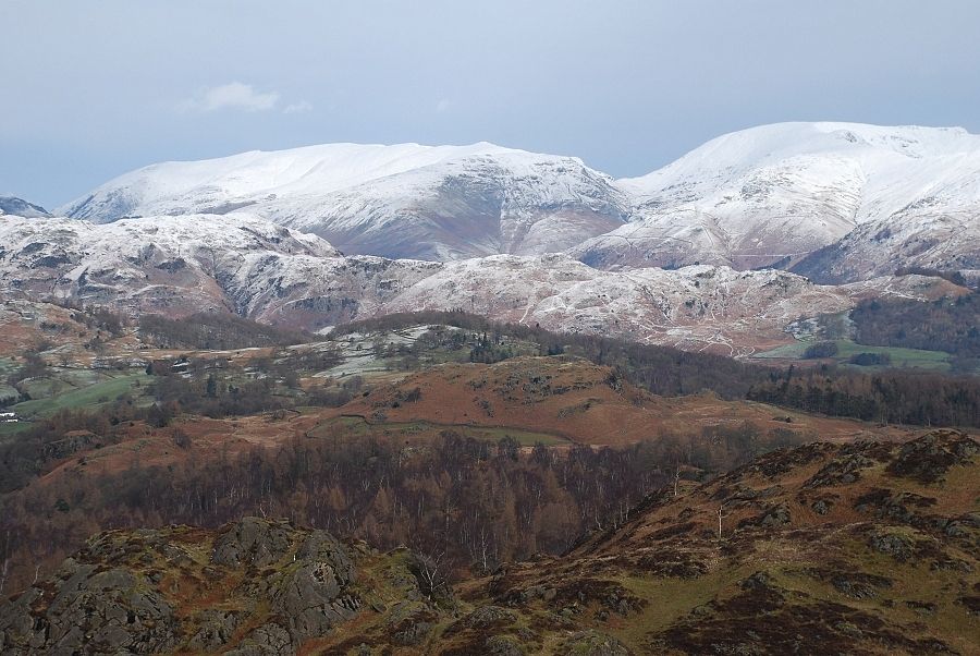
| Looking over Ivy Crag to Black Fell, the long ridge of Wansfell beyond it with Ill Bell and Yoke on the horizon |
 |
| The view just east of north with a closer look at Fairfield, Hart Crag and Dove Crag on the horizon |
 |
| Zooming in over the quarries on High Fell to the Langdale Pikes |
 |
| Another telephoto shot towards Grisedale Hause, Seat Sandal overtopped by Dollywaggon Pike on the left with Fairfield on the right. There was just time for a quick visit to the top of Raven Crag, which lies to the south of the summit, before the weather turned quite nasty. Thirty minutes after this photo was taken a prolonged and heavy snow shower swept in from the north west |
 |
| Coniston Old Man from the summit |
 |
| Coniston Water and the crags of the Yewdale fells from the top of Raven Crag. There is no safe way down from here so a return to Uskdale Gap is the most practical option |
