 |
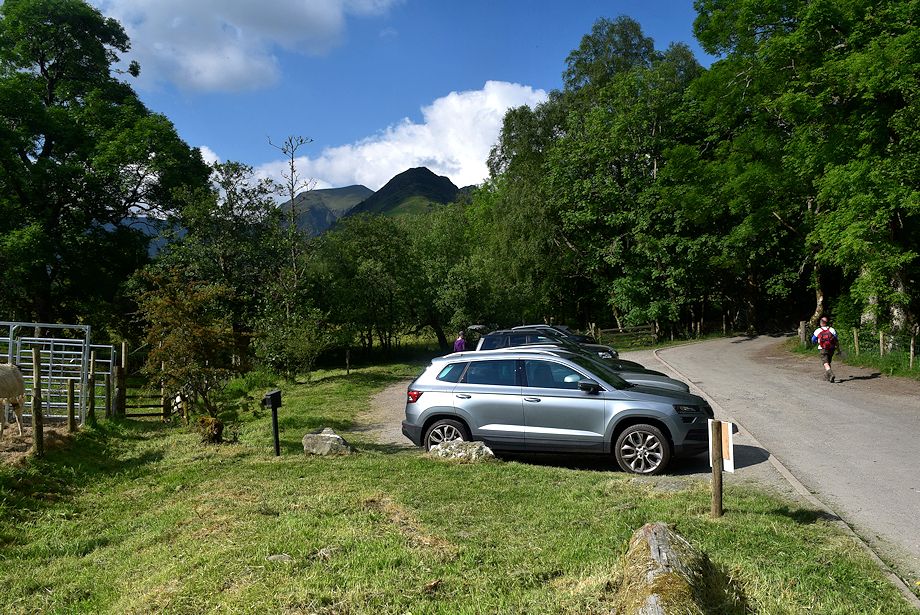
| The small Chapel Bridge car park below Little Town is the starting point for this walk |
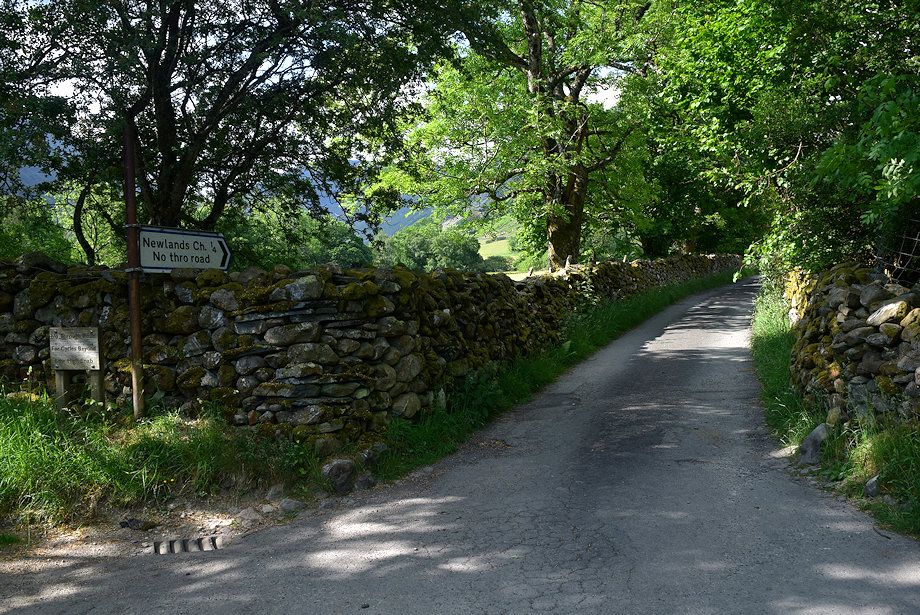 |
| Cross the bridge and turn onto the lane leading to Newlands Church |
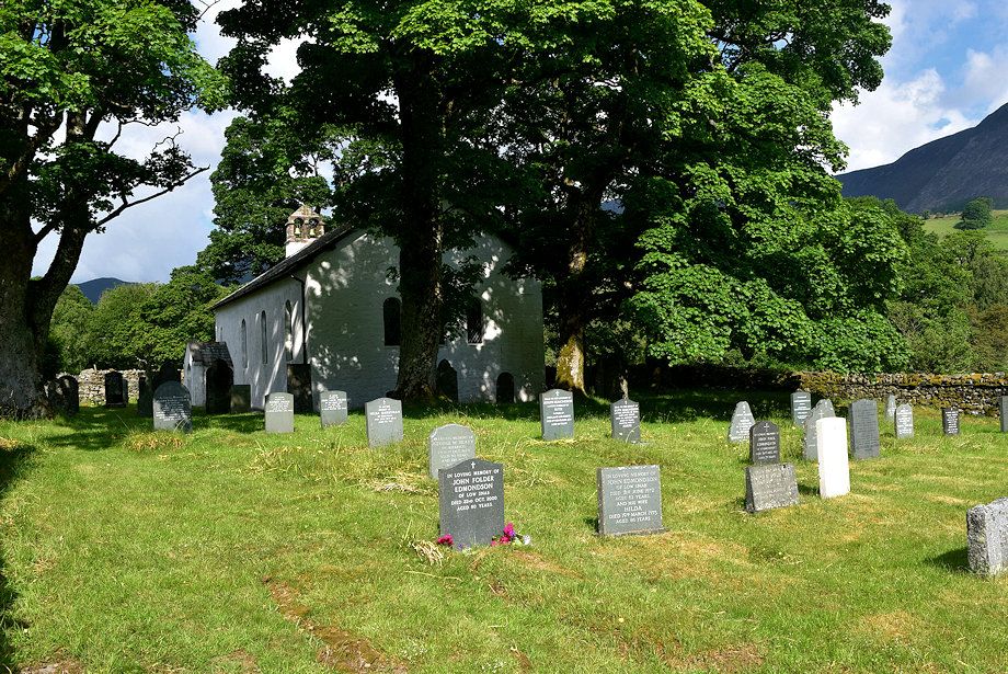 |
| Newlands Church |
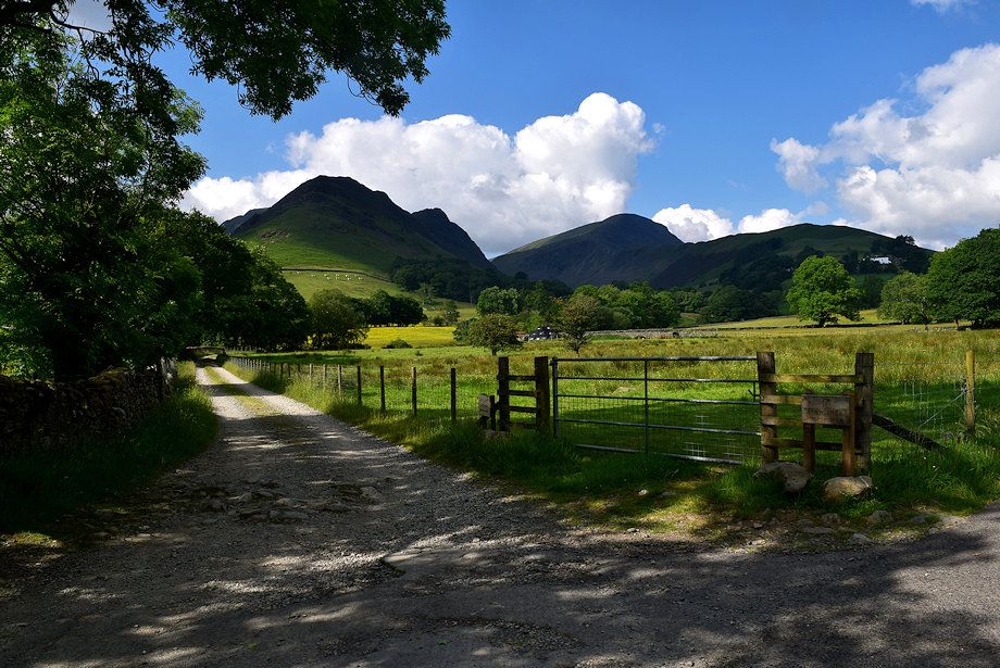 |
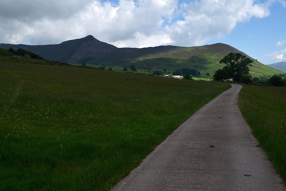
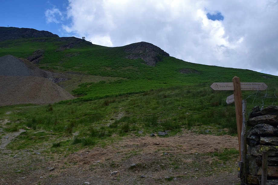
| Opposite the church is the private lane leading to Low Snab Farm |
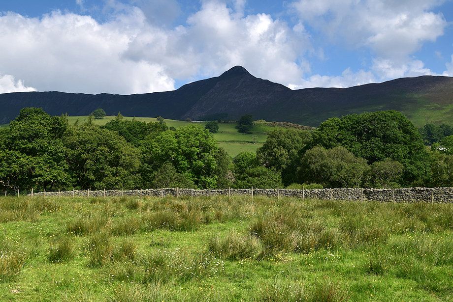 |
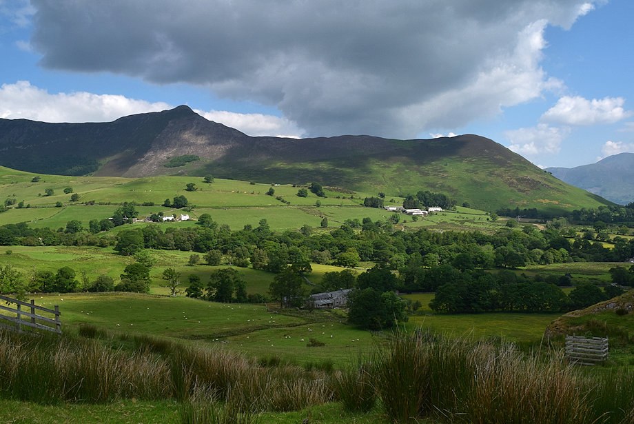
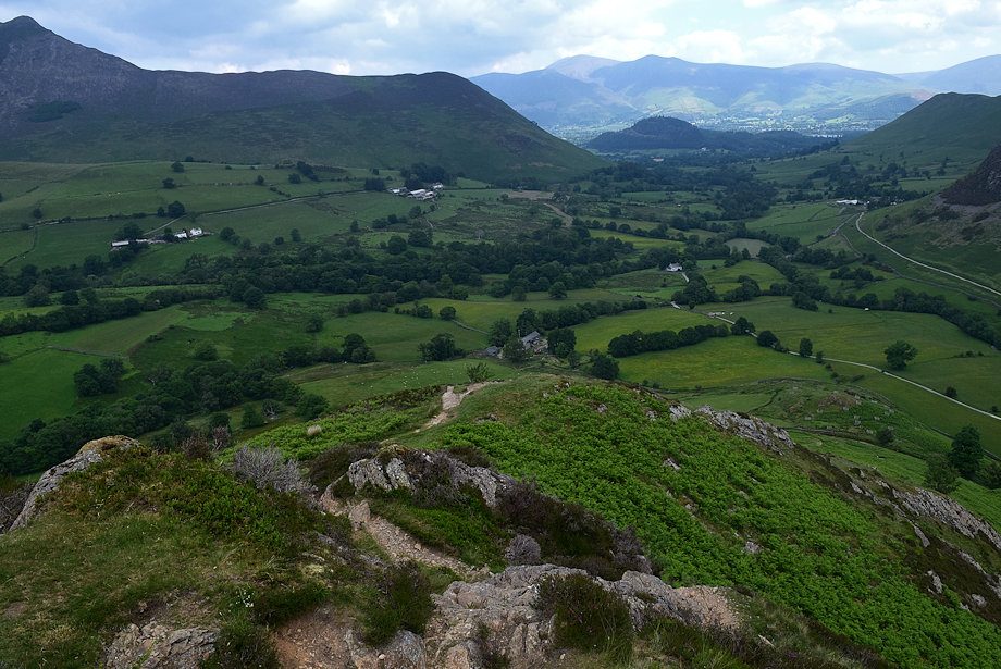
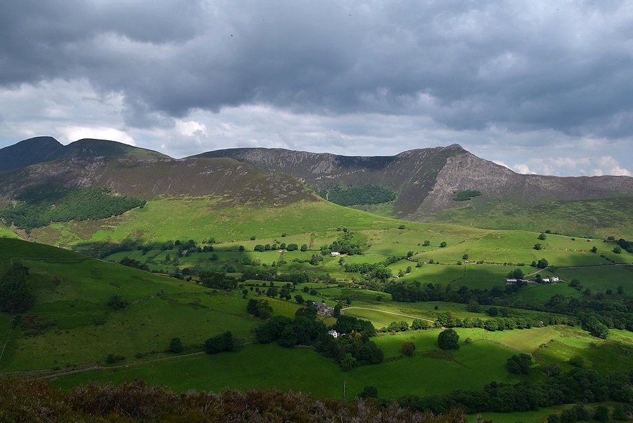
| Causey Pike from the Low Snab Farm lane |
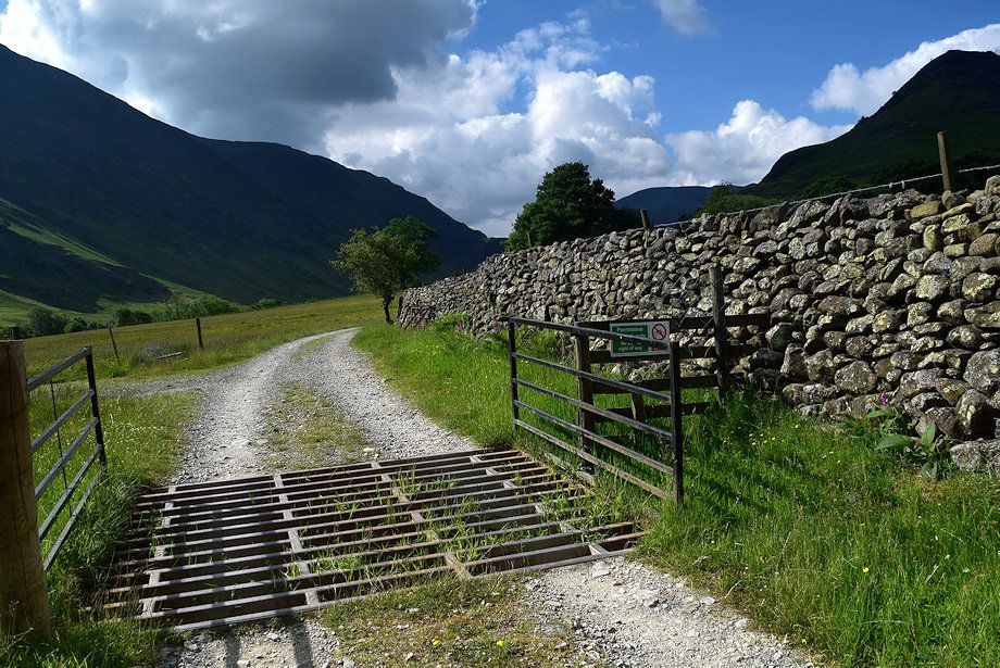 |
| The lane, although private and not a Right of Way, is a permissive path |
 |
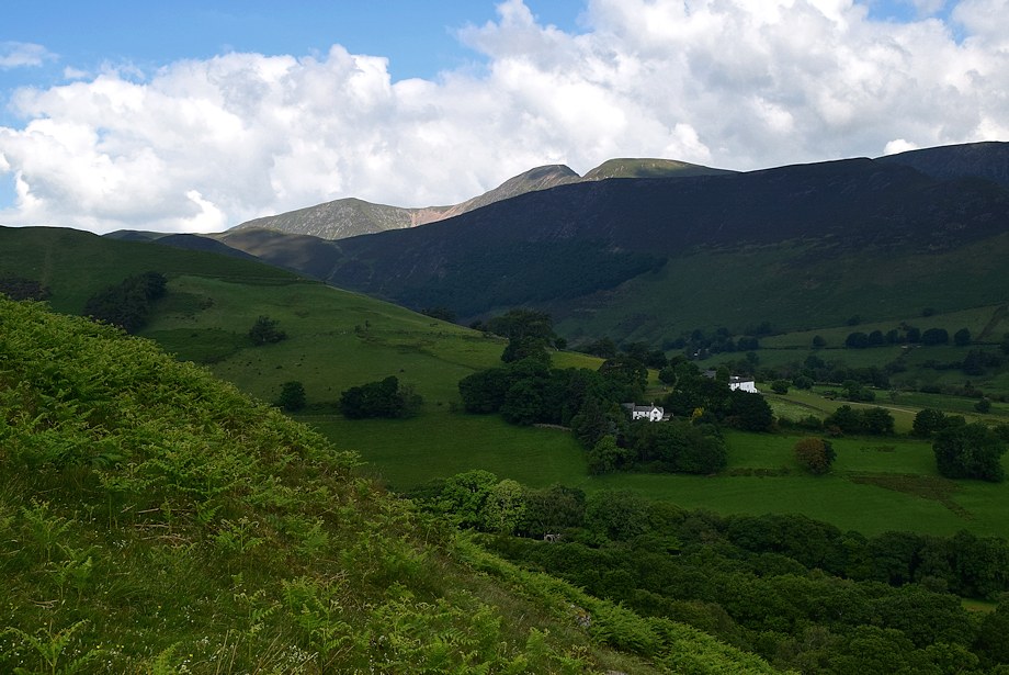
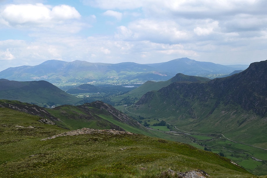
| Looking back towards Skiddaw from the Low Snab Farm lane |
 |
| Scope End from the lane |
 |
| Approaching Low Snab Farm |
 |
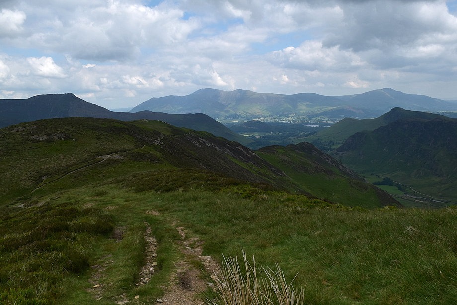
| Looking back to Causey Pike and Rowling End |
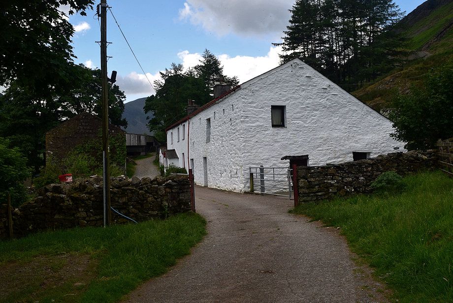 |
| Low Snab Farm |
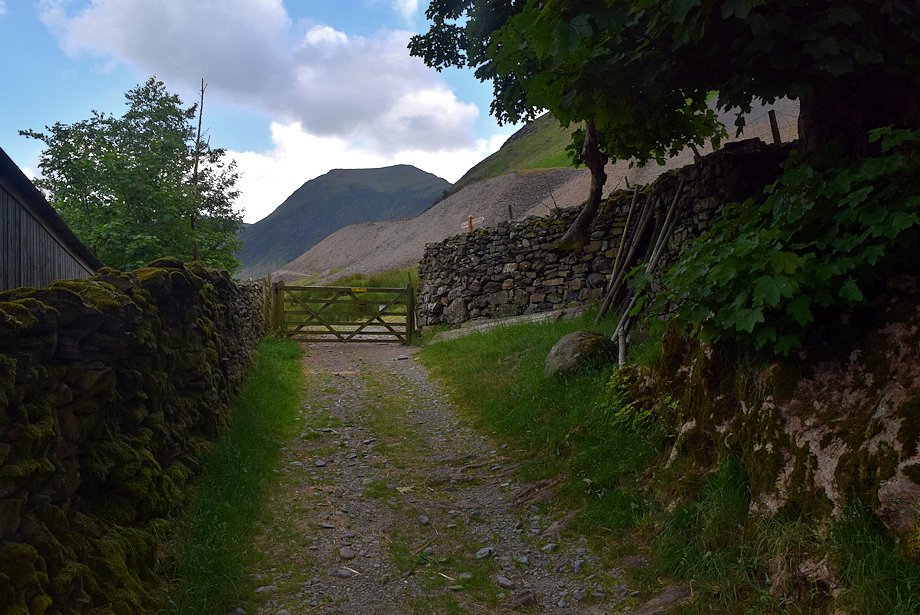 |
| Walk through the farmyard to a gate which gives access to the open fellside |
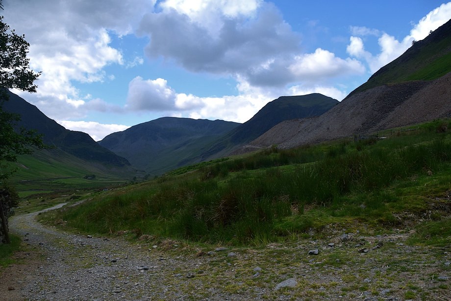 |
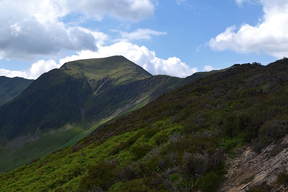
| Dale Head and Hindscarth from the gate |
 |
| Turn right from the gate onto the Hindscarth footpath |
 |
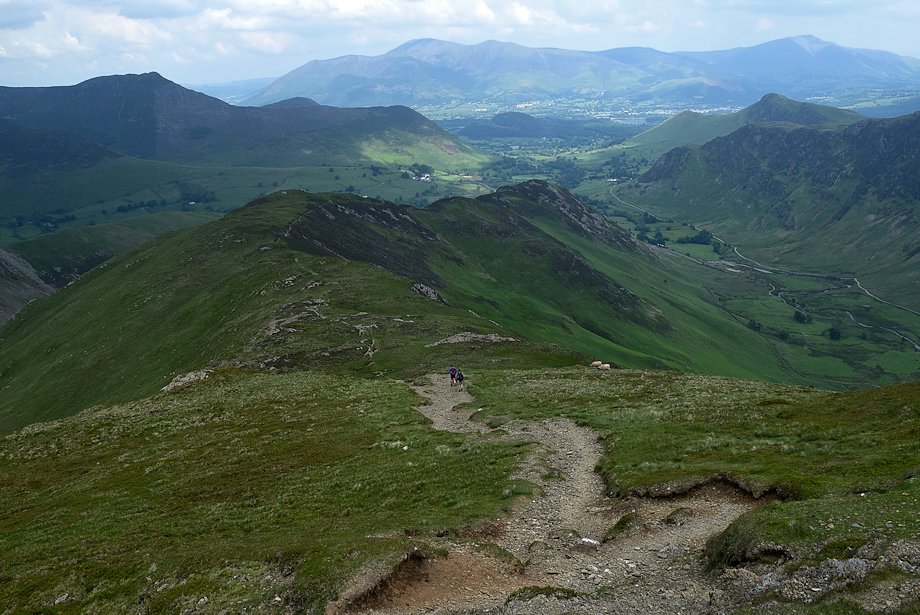
| The path rises towards an intake wall and crosses over the nose of the Scope End ridge |
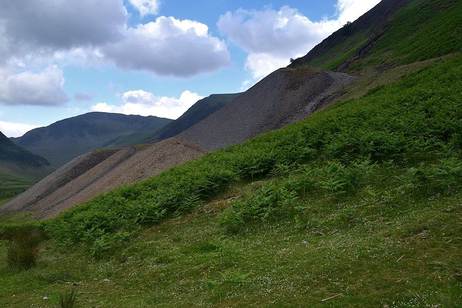 |
| Looking back to the spoil heaps of the Goldscope Mine. The mine, one of the oldest in the Lake District, was abandoned in 1864 due to flooding. It yielded such large quantities of copper and lead ore that the German miners who Elizabeth 1st invited to develop it named it Gottesgibt (God Gives) |
 |
| Skiddaw framed between the slopes of Rowling End and Knott End |
 |
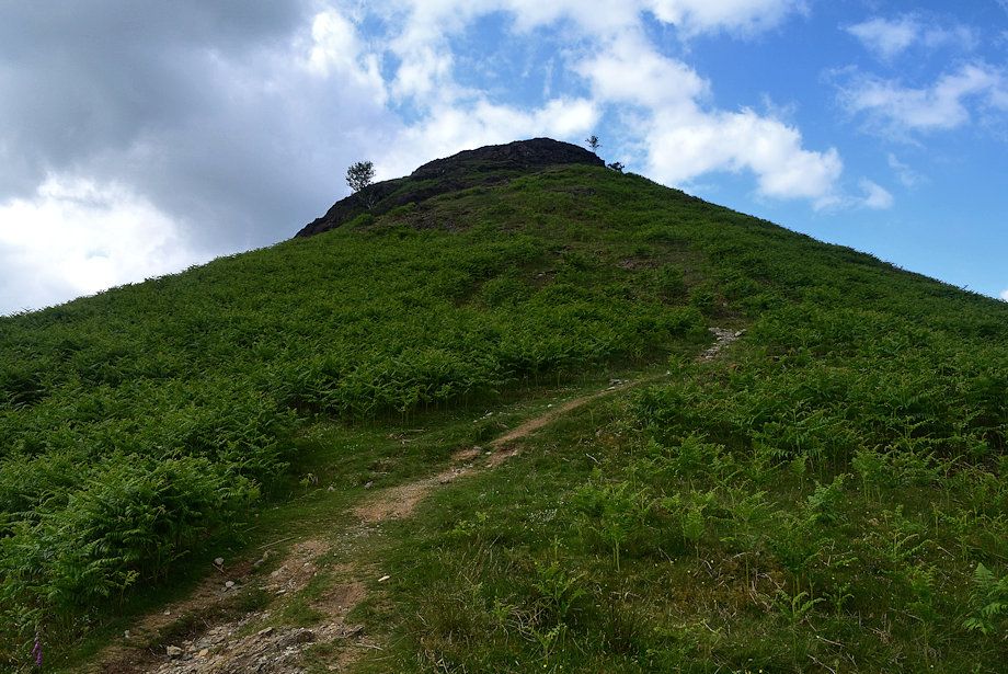
| As the path reaches the wall turn off it onto a well worn path which climbs the steep prow of Scope End |
 |
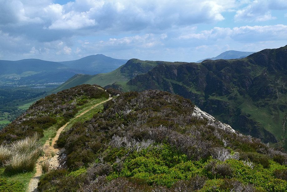
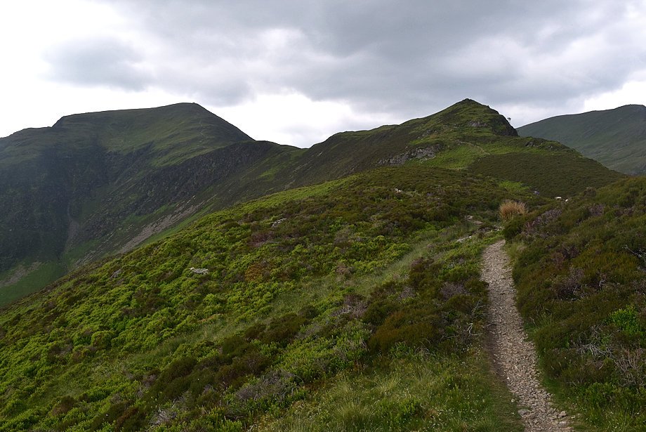
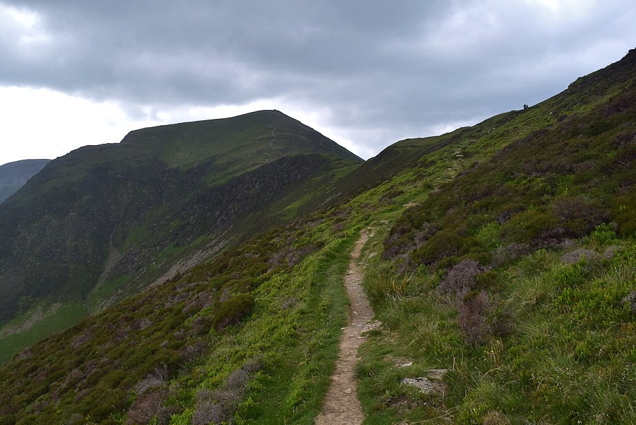
| Causey Pike and Rowling End from the start of the climb up Scope End |
 |
| Looking over towards Maiden Moor |
 |
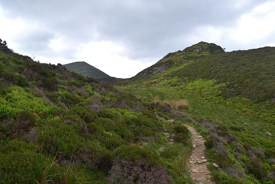
| The path soon encountersthe first of a series of rock outcrops on the ridge |
 |
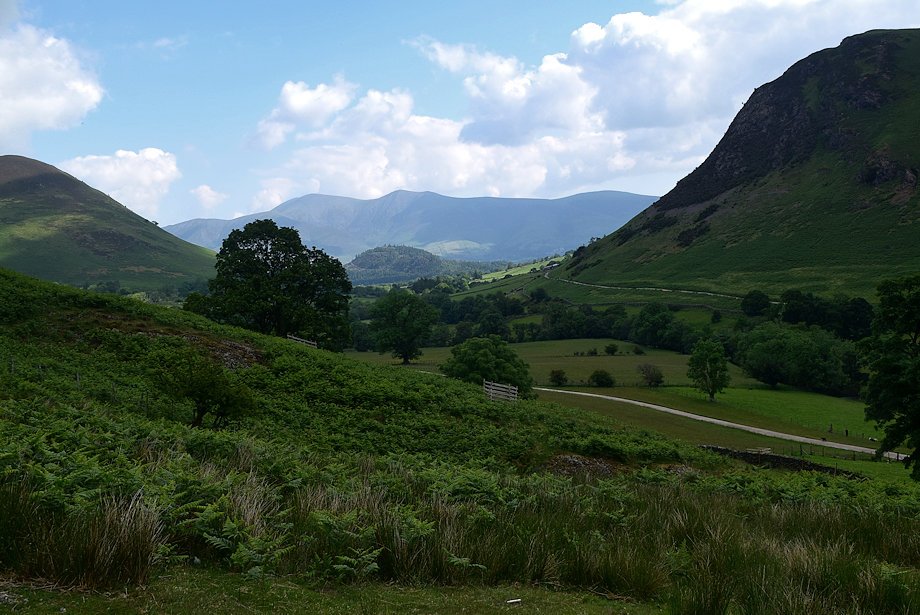
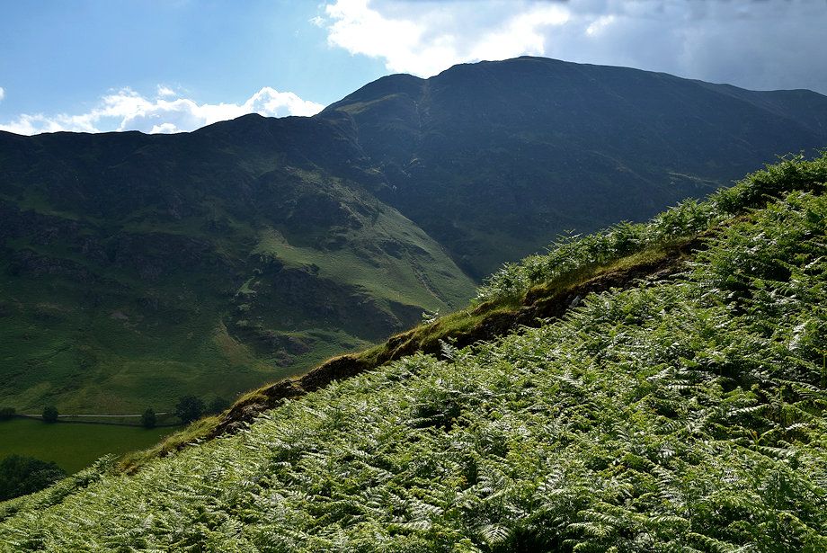
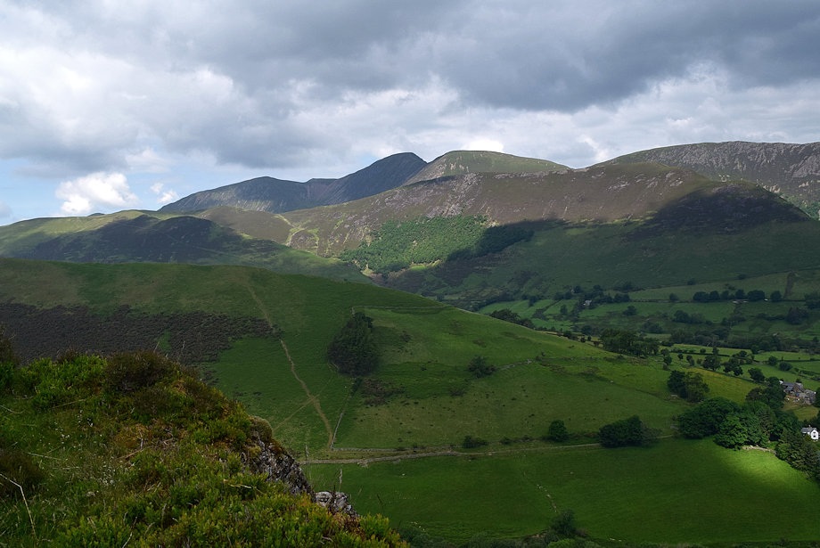
| Newlands Valley from the lower slopes of Scope End |
 |
| Looking across to High Spy |
 |
| Sunlight highlights the summits of Wandope, Eel Crag and Sail above the Knott Rigg ~ Ard Crags ridge |
 |
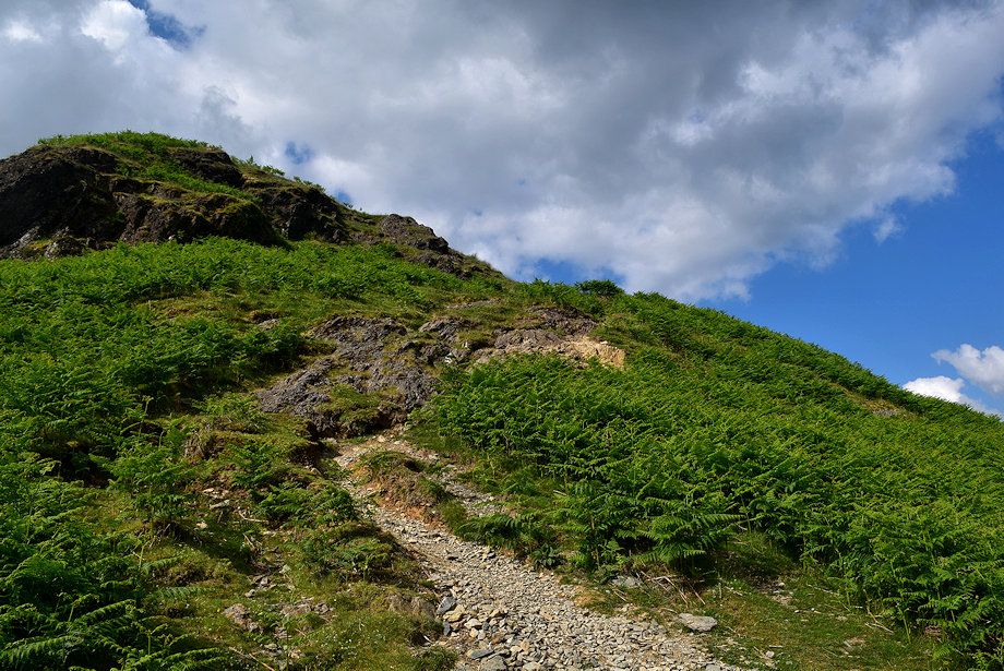
| The path leading up to the steepest part of the ridge |
 |
| Robinson across the Scope Beck Valley |
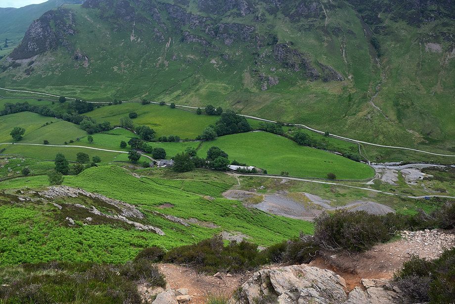 |
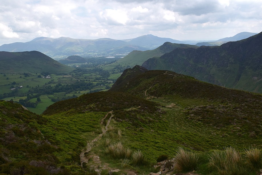
| Looking down on Low Snab Farm and Goldscope Mine |
 |
| Looking back along the path on the lower part of the ridge |
 |
| The path tends to avoid most of the rock outcrops but not all of them can be easily by-passed |
 |
| Wandope, Eel Crag, Sail and Scar Crags over the Knott Rigg ~ Ard Crags ridge |
 |
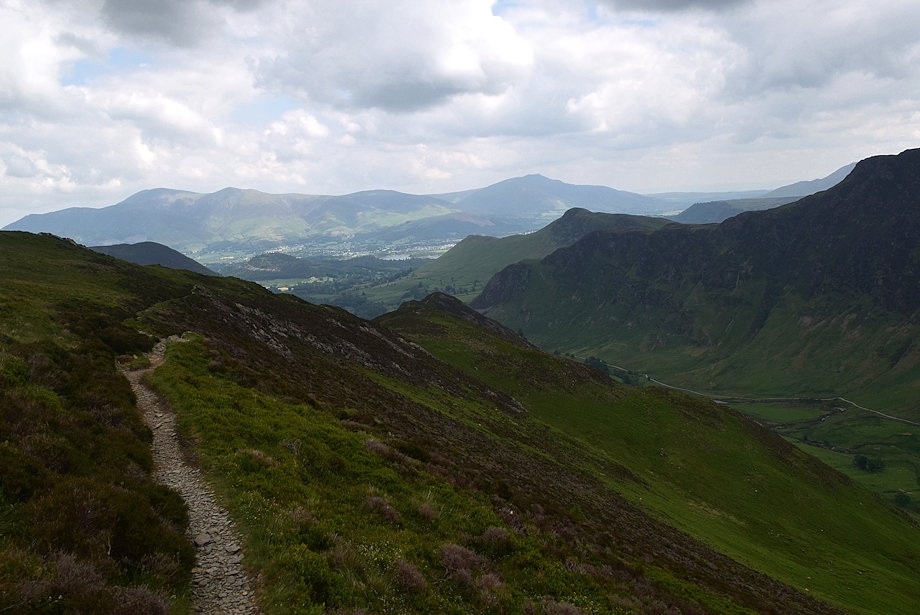
| High Spy and Dale Head at the head of the Newlands Valley |
 |
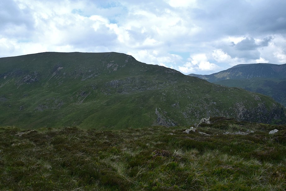
| Looking across to Maiden Moor |
 |
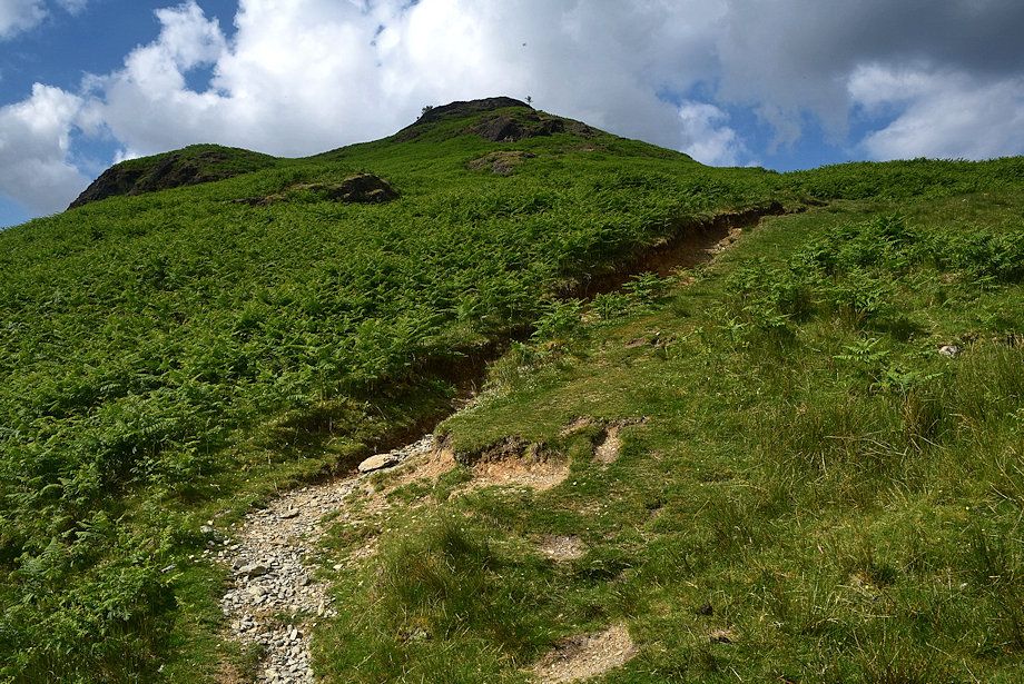
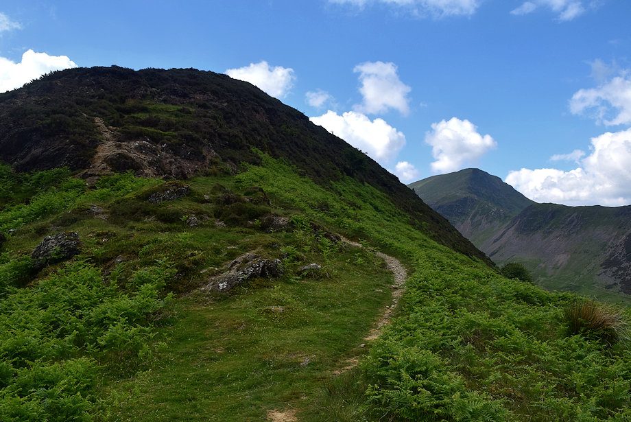
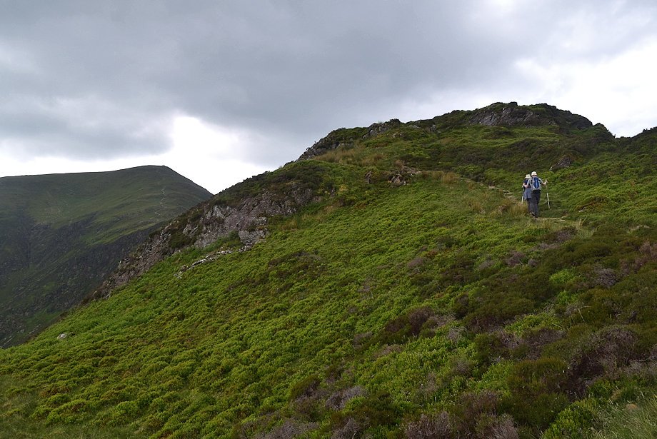
| The gradient begins to ease as the path approaches the top of Scope End |
 |
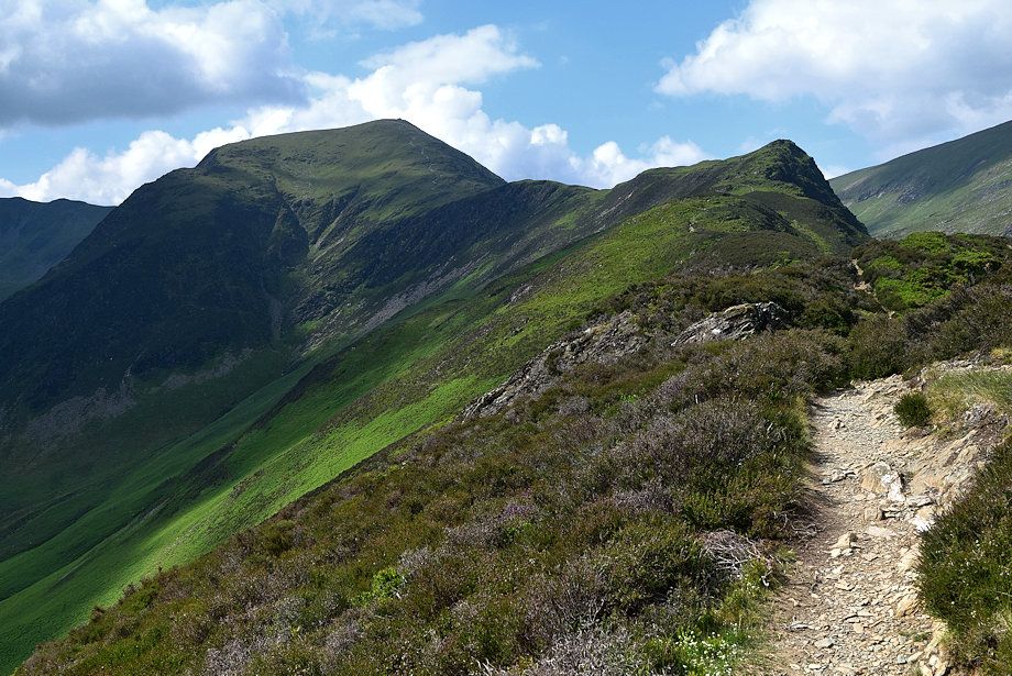
| Eel Crag, Sail and Scar Crags over Ard Crags with Causey Pike to the right |
 |
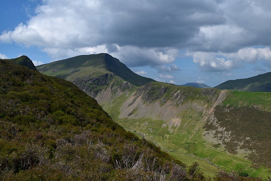
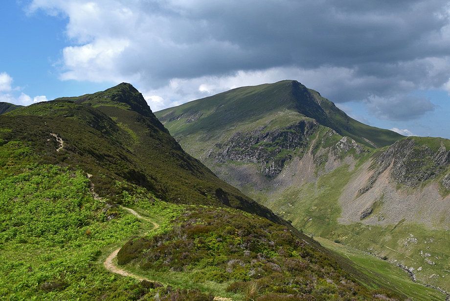
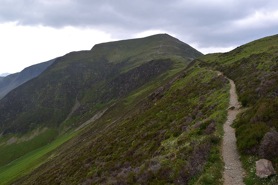
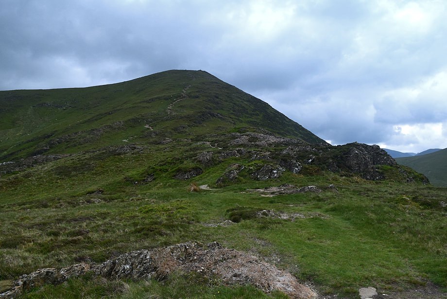
| Hindscarth from near the top of Scope End |
 |
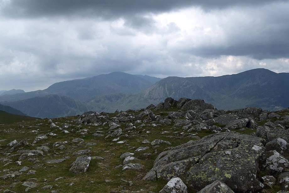
| The summit of Great Borne appears over Robinson's High Snab Bank ridge |
 |
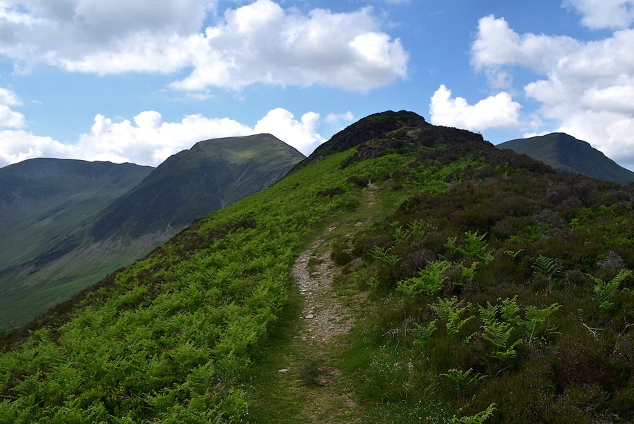
| Hindscarth and Red Knott from the top of Scope End |
 |
| Blencathra and Catbells from the top of Scope End |
 |
| Robinson across the slopes of Red Knott |
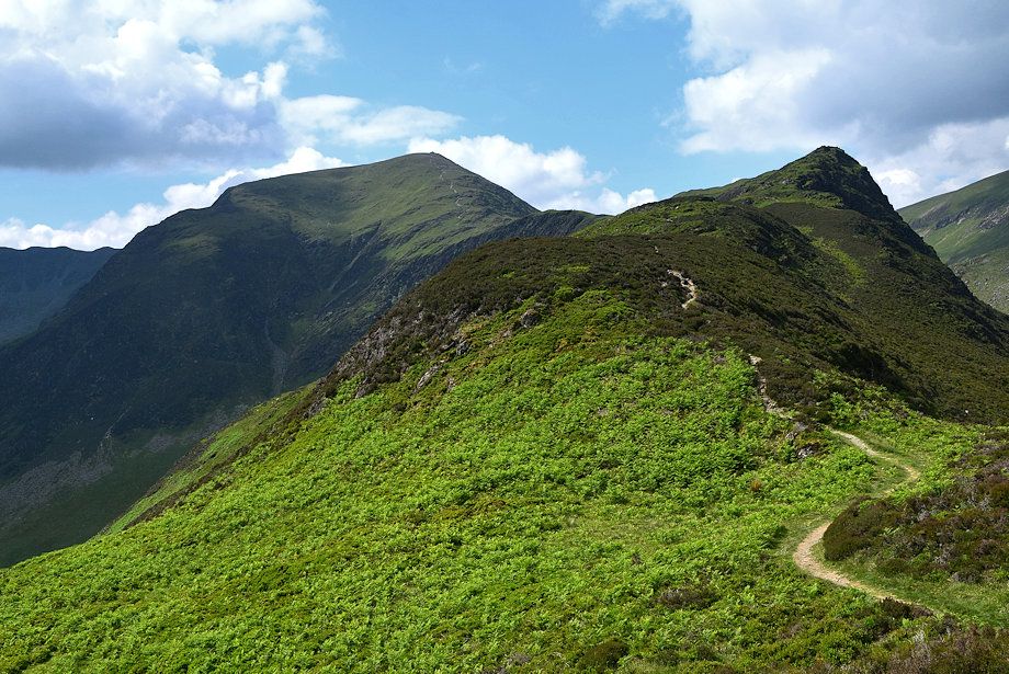 |
| The path continues over grass and heather knolls towards Red Knott |
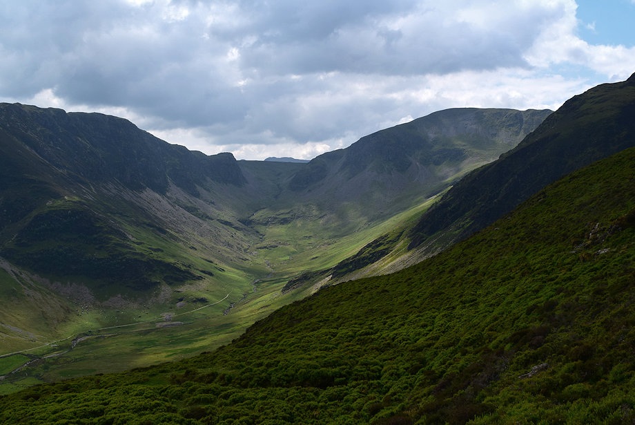 |
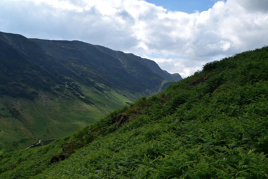
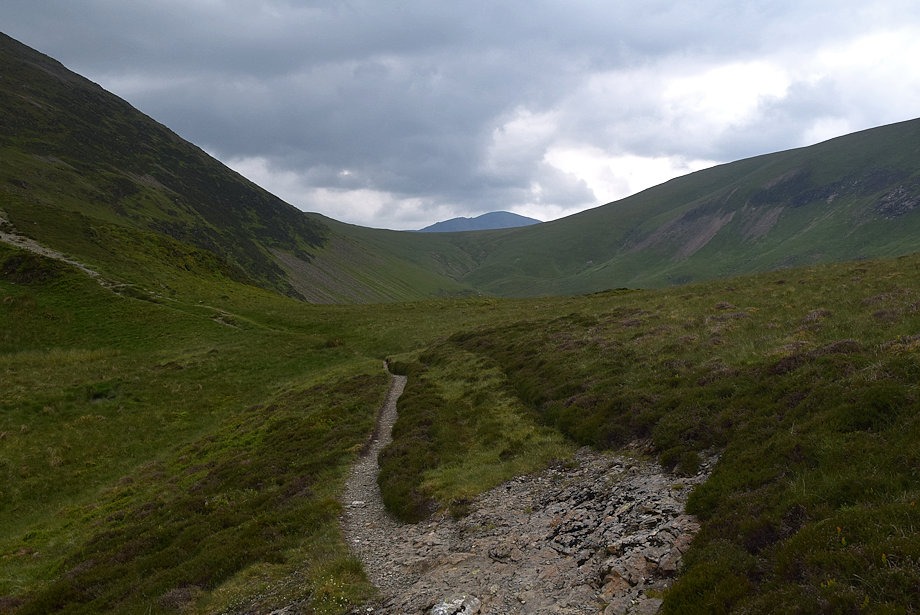
| The head of the Newlands Valley |
 |
| Approaching the col under Red Knott |
 |
| The col under Red Knott |
 |
| The path passes below the summit of Red Knott but it only requires a short diversion to visit this fine viewpoint |
 |
| Looking back to the col under Red Knott |
 |
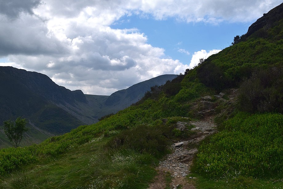
| The path continues climbing gently along the eastern slopes of Red Knott towards an almost level terrace below High Crags |
 |
| The terrace path below High Crags |
 |
| Looking back along the terrace path |
 |
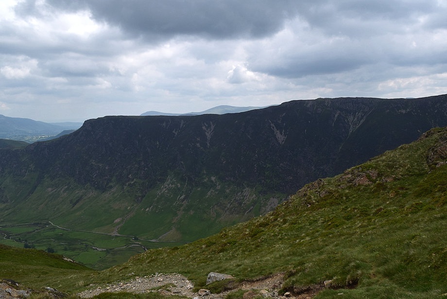
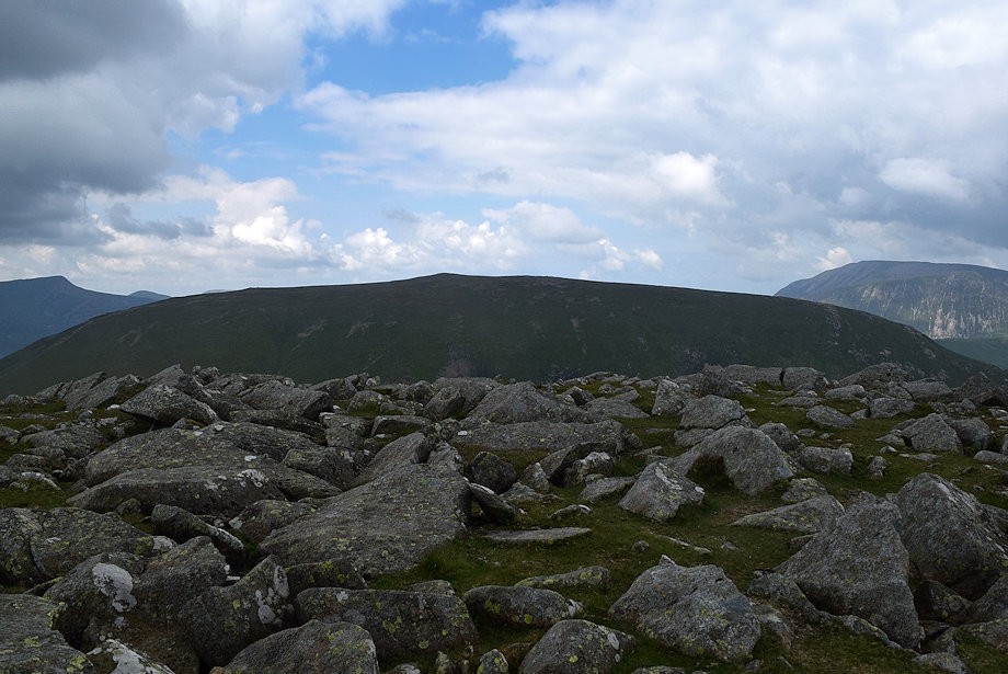
| The terrace path ends at a broad col between High Crags and May Crag |
 |
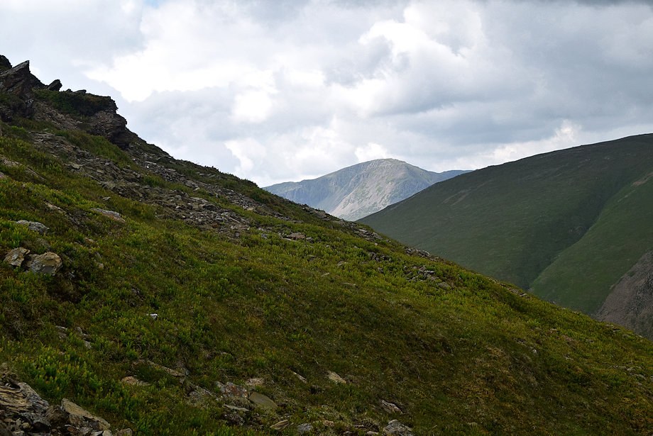
| The summit of Pillar appears over Littledale Edge, from the col a well worn path continues on over the top of May Crag |
 |
| Looking back from the path over May Crag |
 |
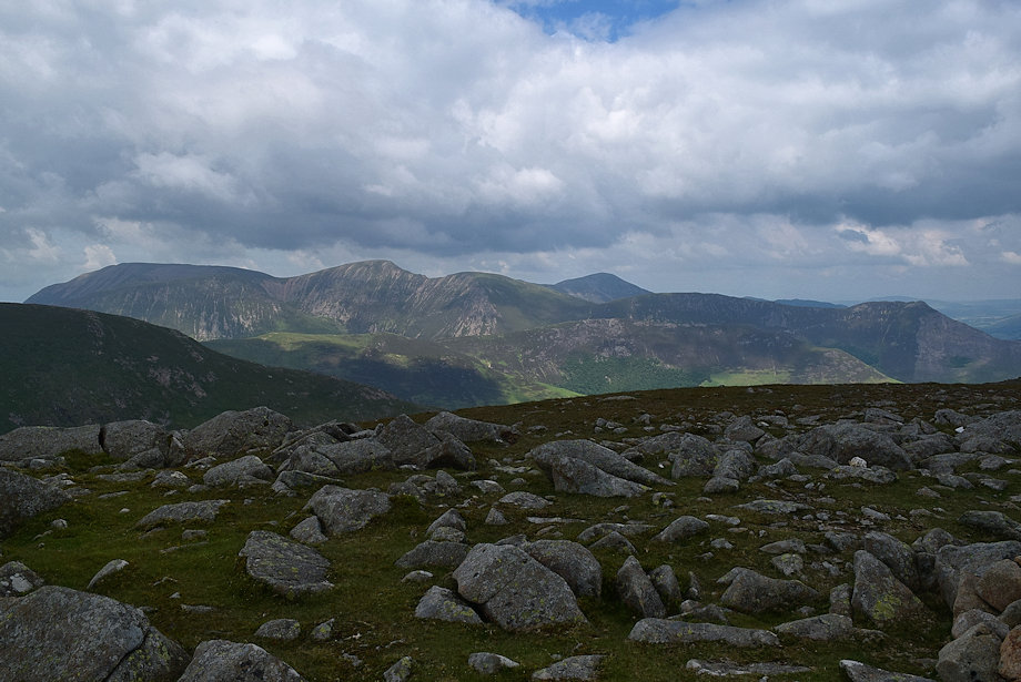
| Whiteless Pike, Grasmoor, Wandope, Eel Crag, Sail, Grisedale Pike and Scar Crags form the horizon |
 |
| Hindscarth from May Crag |
 |
| Robinson across Littledale |
 |
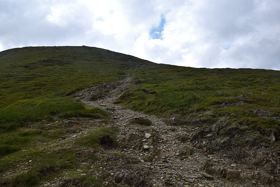
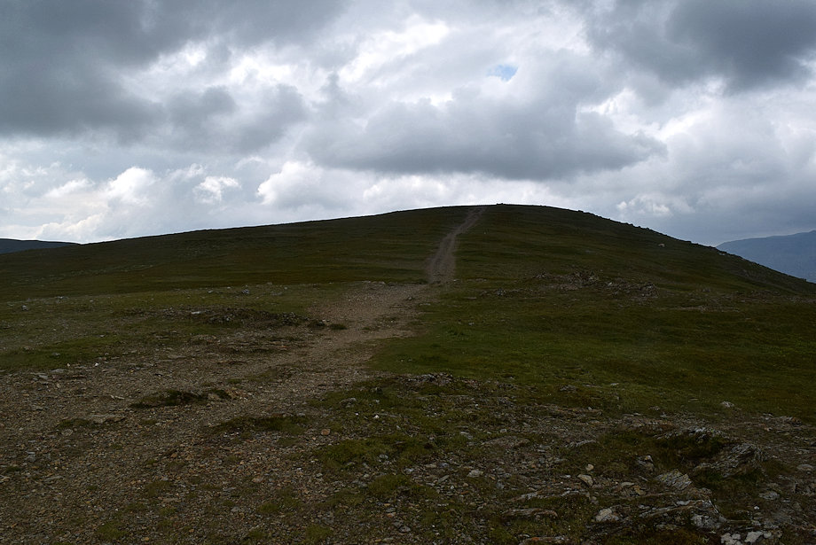
| The final climb of 675 ft to the summit of Hindscarth |
 |
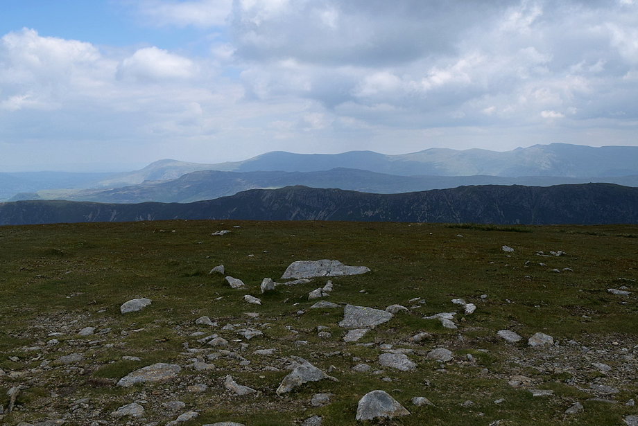
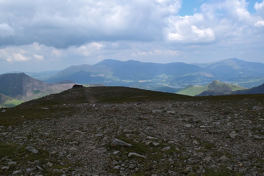
| Looking over towards Maiden Moor from the climb to the summit |
 |
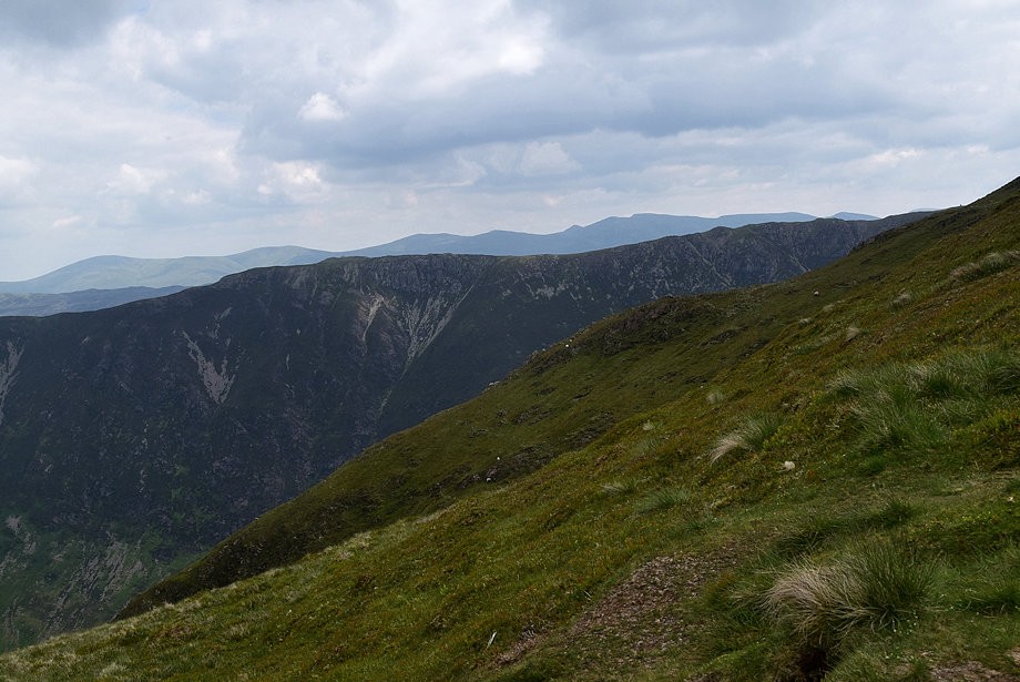
| Looking back To Skiddaw and Blencathra |
 |
| Helvellyn appears over the Maiden Moor ~ High Spy ridge |
 |
| Grasmoor, Wandope, Eel Crag and Sail across Robinson's north-east ridge |
 |
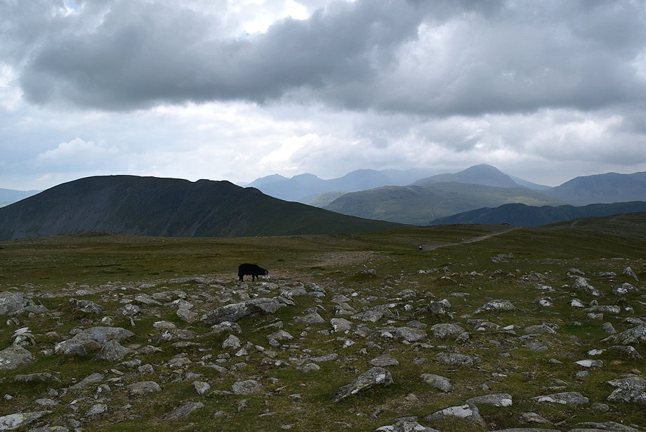
| Halfway on the climb to the summit |
 |
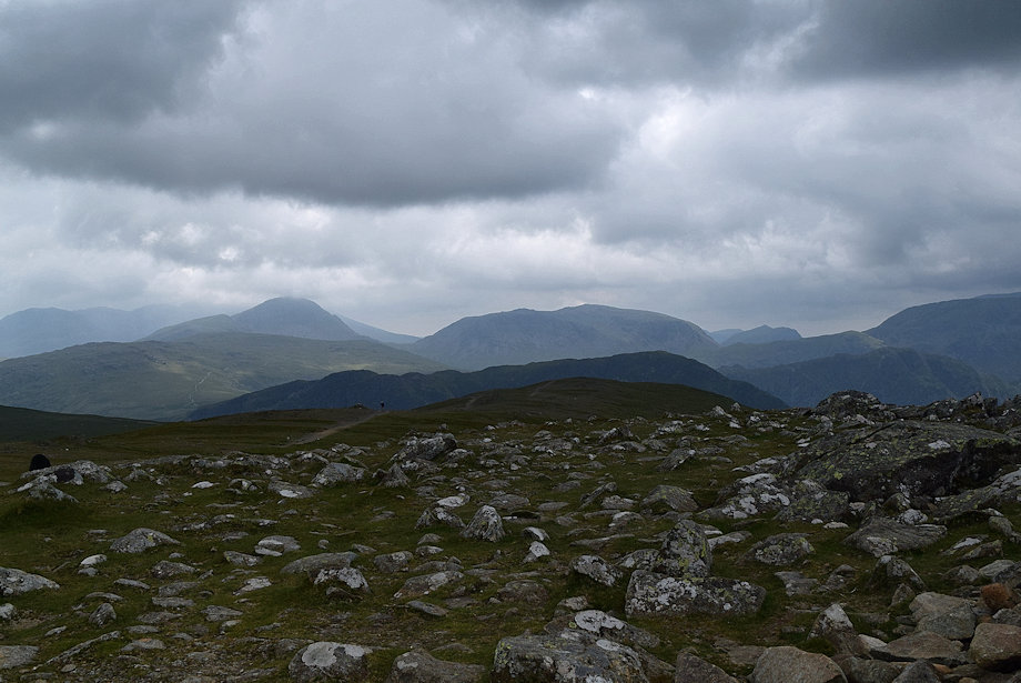
| Looking back along the route of ascent |
 |
| High Stile appears across the south-eastern slopes of Robinson |
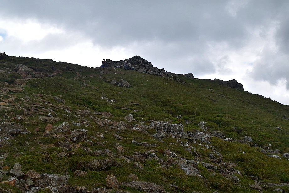 |
| Approaching the north-east cairn on the summit ridge |
 |
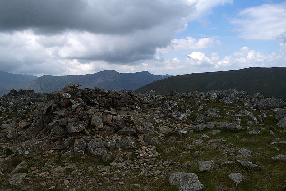
| The north-east cairn is huge and visible from miles around |
 |
| Pillar, High Crag, High Stile and Red Pike from the north-east cairn |
 |
| Robinson from the north-east cairn |
 |
| Grasmoor, Wandope, Eel Crag, Sail, Grisedale Pike and Scar Crags from the north-east cairn |
 |
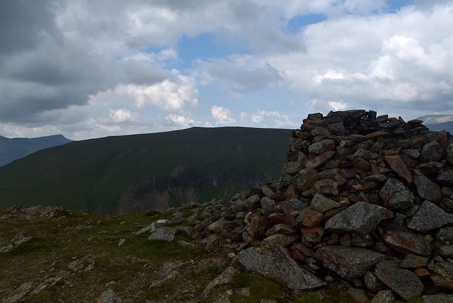
| Skiddaw from the north-east cairn |
 |
| The summit of Hindscarth from the north-east cairn, about 200 yards further along the ridge and 60 ft higher |
 |
| Lookng back to the north-east cairn from the approach to the summit |
 |
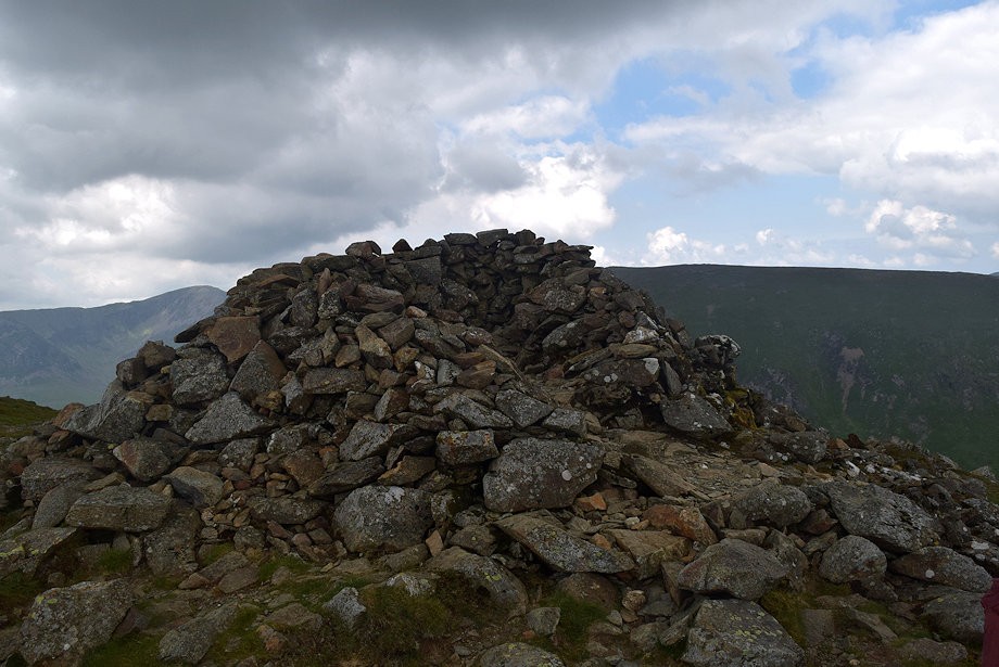
| The summit cairn on Hindscarth |
 |
| The Helvellyn range from the summit of Hindscarth |
 |
| Dale Head, Bowfell, Esk Pike, Great End and Great Gable from the summit of Hindscarth |
 |
| Great Gable, Kirk Fell, Whin Rigg, Yewbarrow, Looking Stead and Pillar on the horizon, with Fleetwith Pike and Haystacks in the middle distance |
 |
| Pillar, High Crag and High Stile from the summit of Hindscarth |
 |
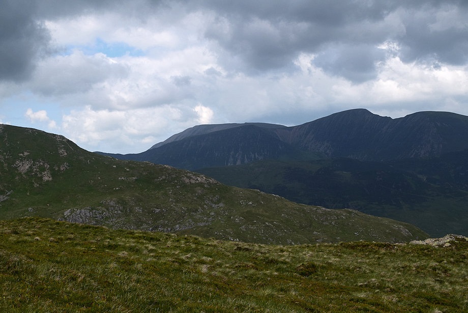
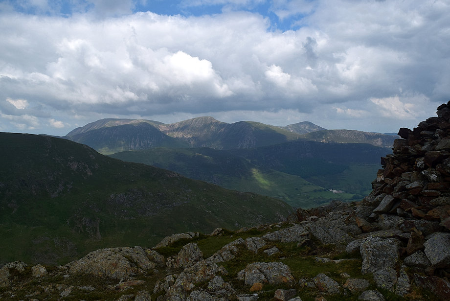
| Robinson from the summit of Hindscarth |
 |
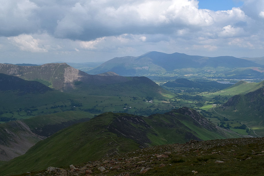
| Grasmoor, Wandope, Eel Crag, Sail, Grisedale Pike, Scar Crags, Lord's Seat and Causey Pike from the summit of Hindscarth |
 |
| Skiddaw and Blencathra from the summit of Hindscarth |
