 |
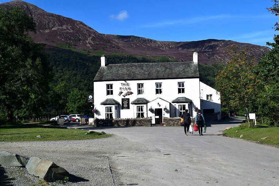
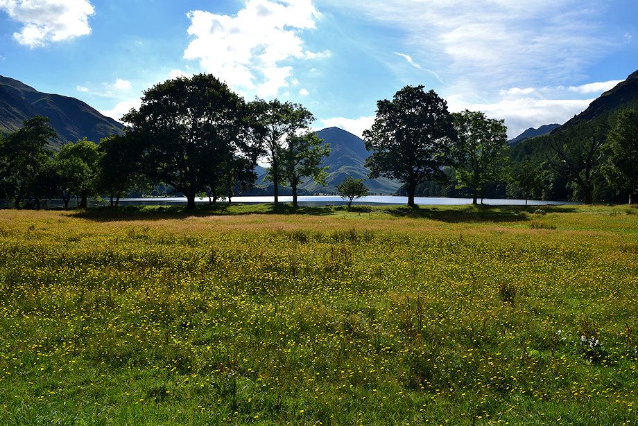
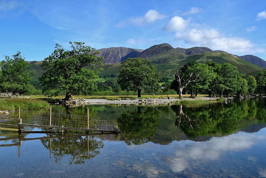
| The walk starts from the National Trust car park situated above the village of Buttermere. From the centre of the village walk past The Fish Hotel onto the gated lane which leads to the lake |
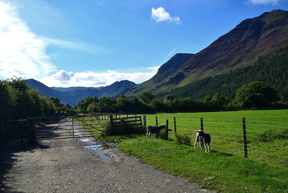 |
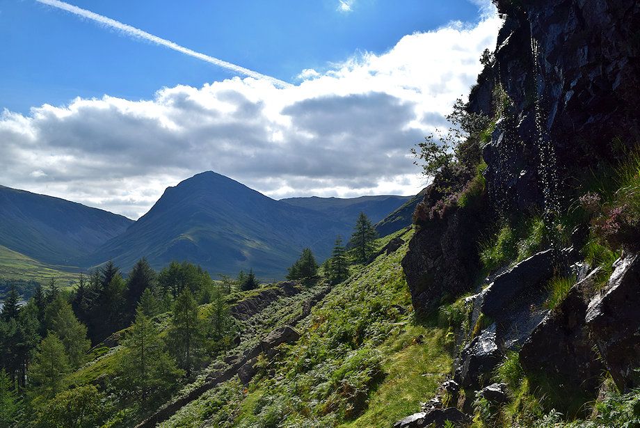
| The gated lane with the north-east ridge of High Stile rising to the right |
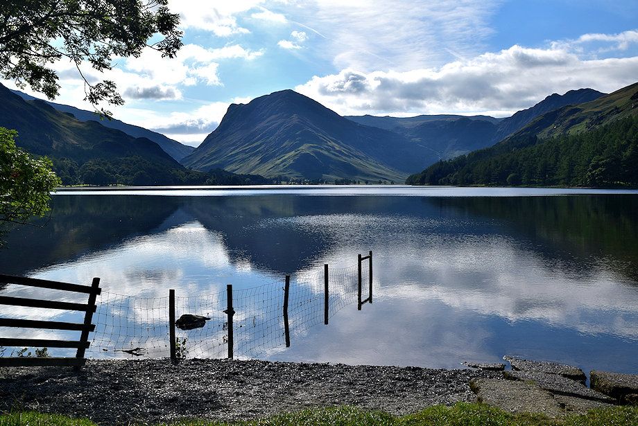 |
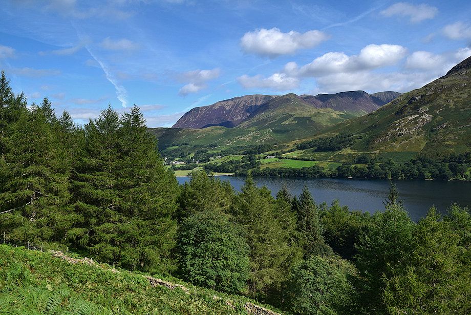
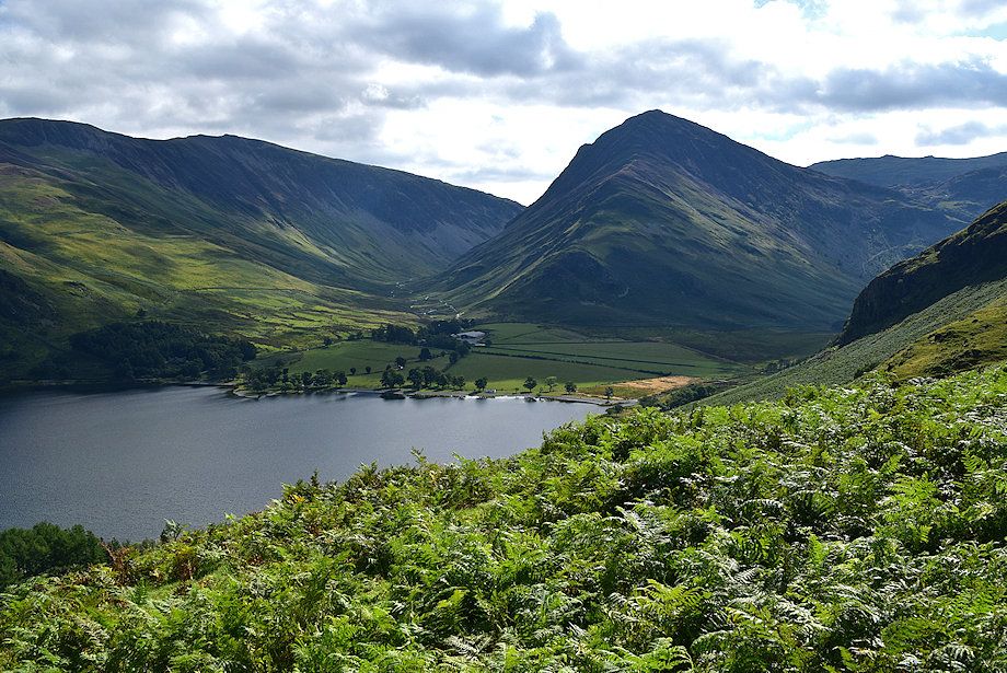
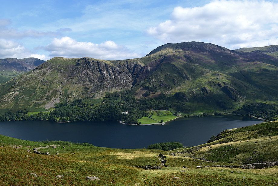
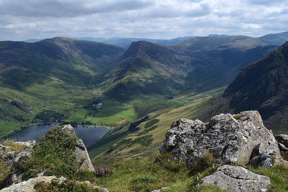
| Fleetwith Pike across Buttermere |
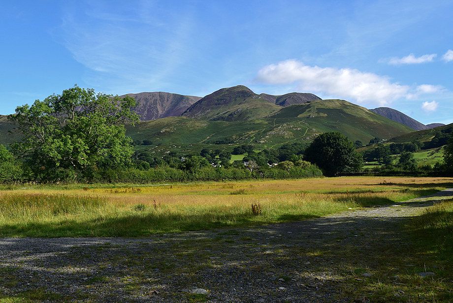 |
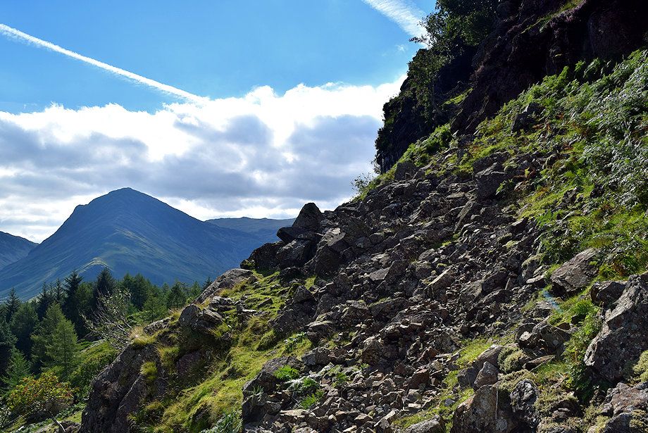
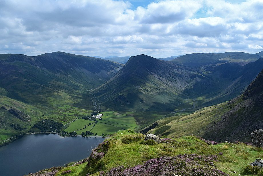
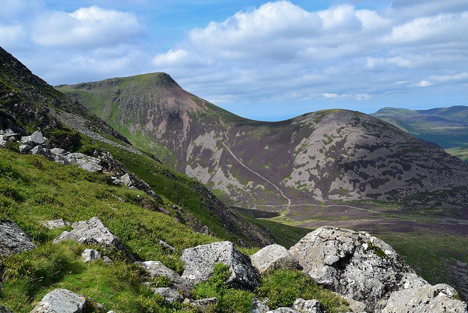
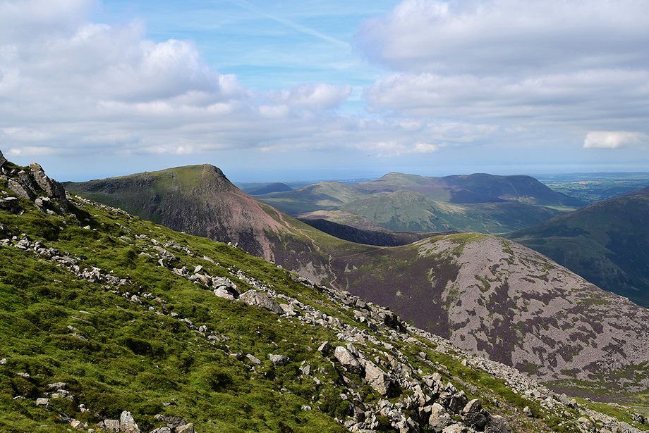
| Looking back to Whiteless Pike |
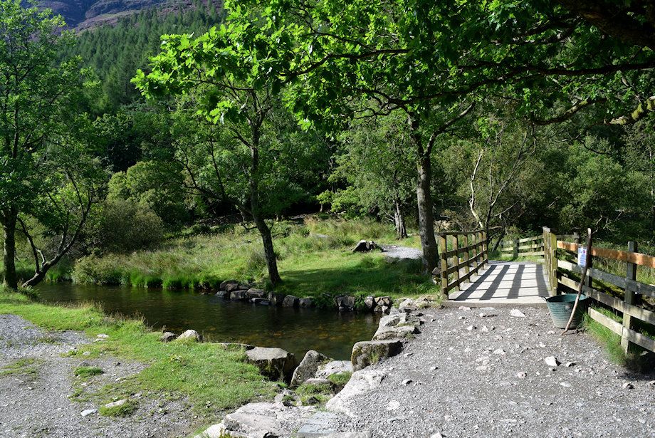 |
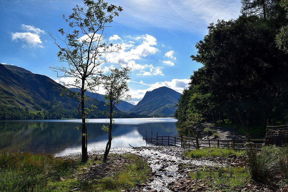
| Continue over the footbridge crossing Buttermere Dubs, the outflow of the lake |
 |
| Fleetwith Pike from the footbridge over Buttermere Dubs |
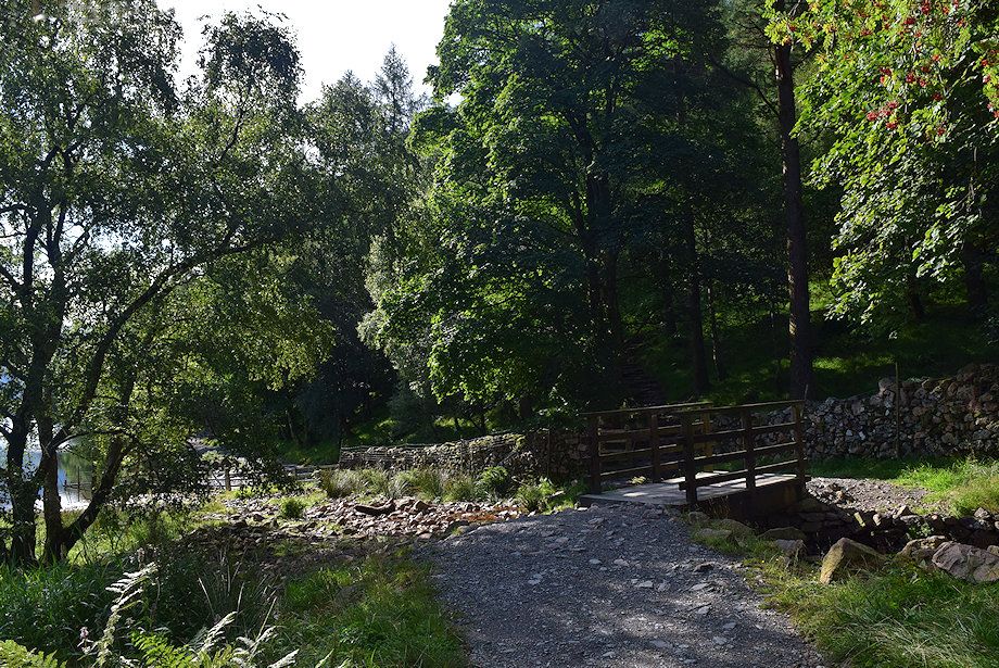 |
| Cross the footbridge over the inflow of Sourmilk Gill and pass through the handgate onto the lakeshore track |
 |
| Fleetwith Pike from the footbridge over Sourmilk Gill |
 |
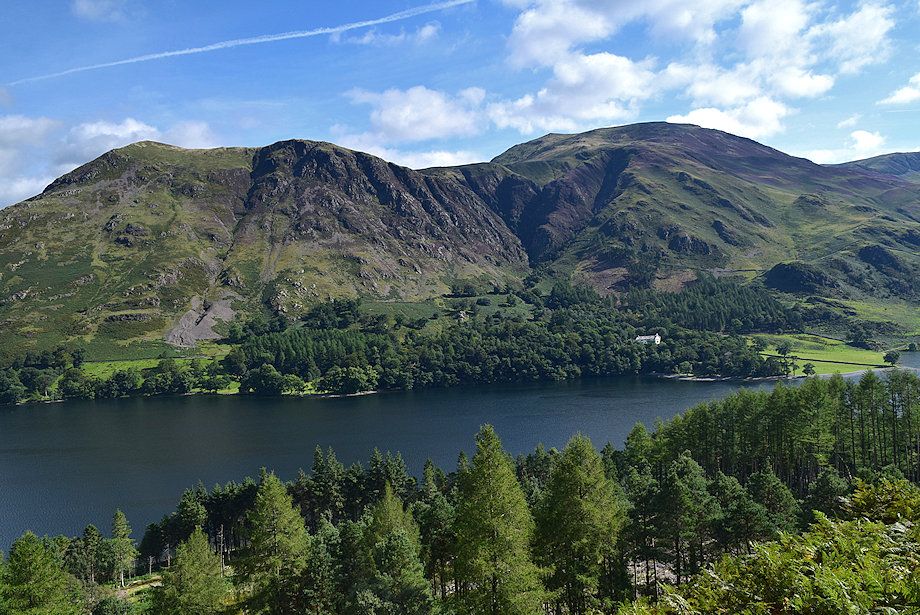
| Whiteless Pike and the Grasmoor group of fells from the lakeshore track |
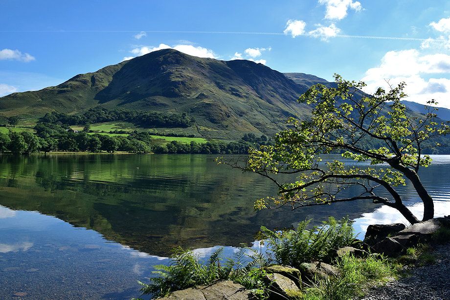 |
| High Snockrigg from the lakeshore track |
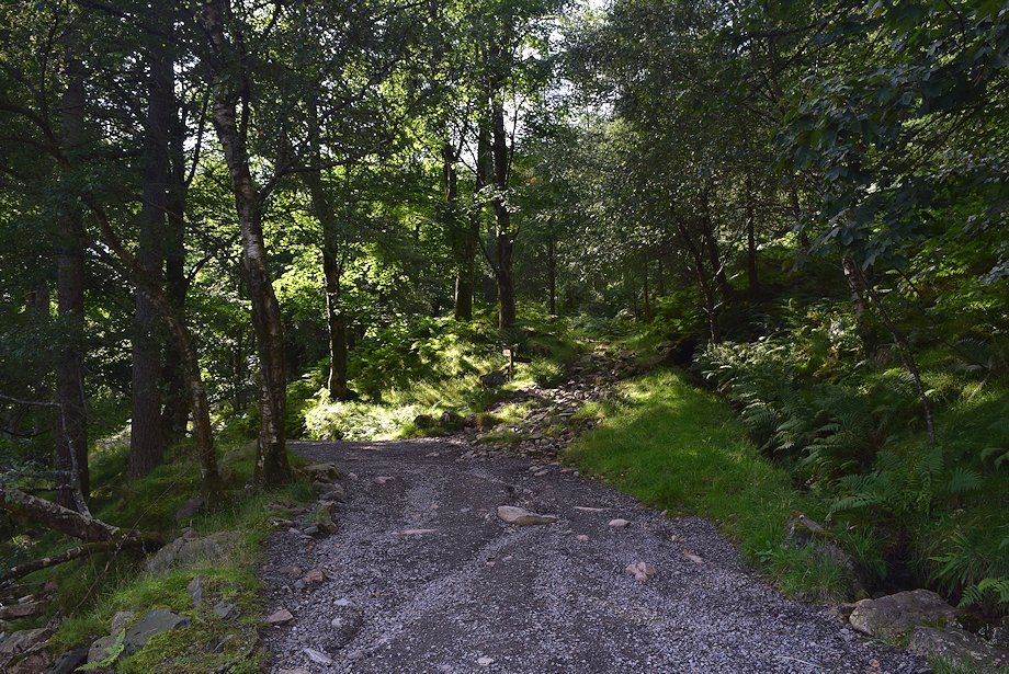 |
| The lakeshore track is only followed for a few yards before leaving for an old forestry road which climbs steadily through Burtness Wood |
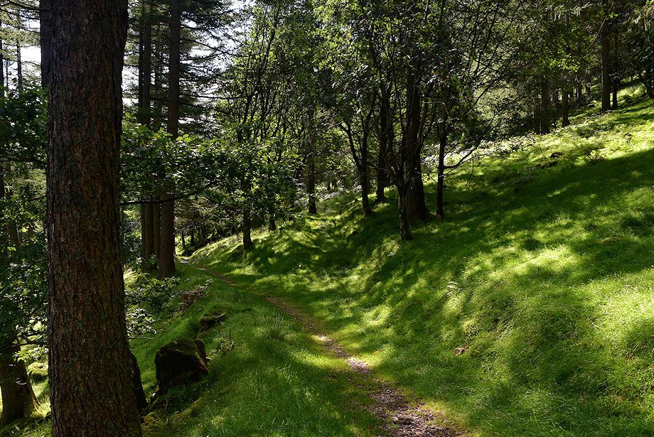 |
| Shortly after passing a ruined wall, when the forestry road begins to descend back to the lake shore, veer half-right onto a green path which continues to rise through Burtness Wood. This is the start of the climber's path to Burtness Comb |
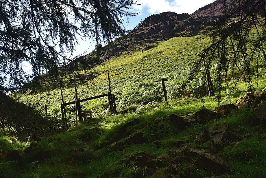 |
| After climbing steadily for 250 yards the path crosses a stile over the forest fence |
 |
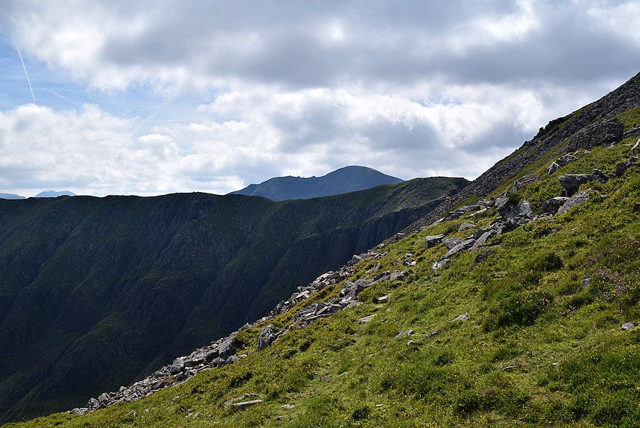
| The climber's path continues as a green trod across the north-eastern slopes of High Stile. The bracken makes it difficult to follow in high summer. You can follow the fence and an intake wall above the wood instead which acts as sure guide towards Burtness Comb, but it's not recommended as the bracken is even worse. The path eventually rejoins the wall at a higher level |
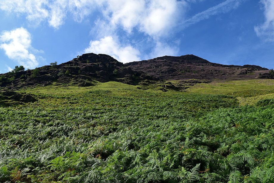 |
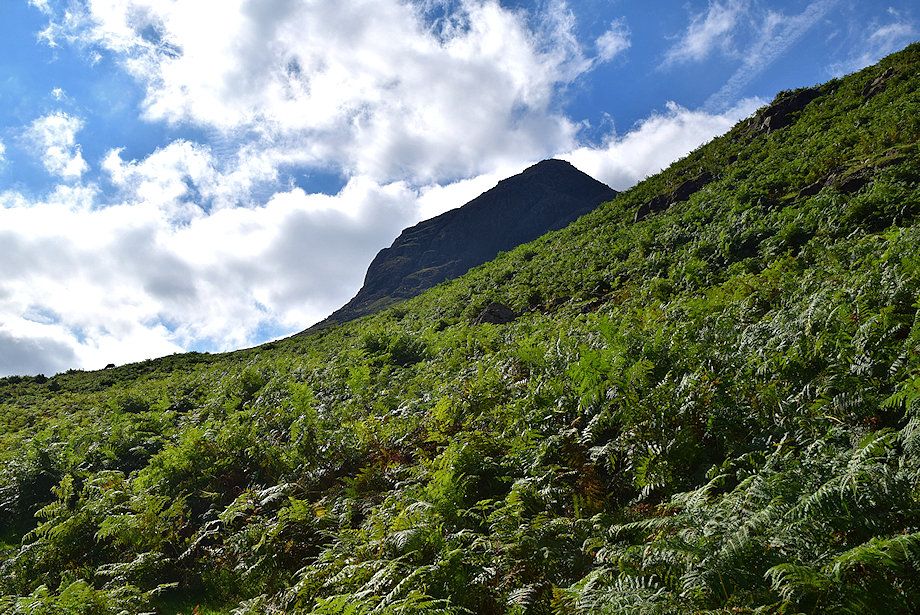
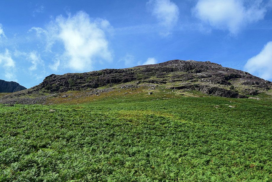
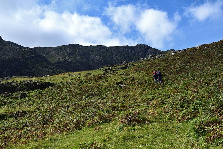
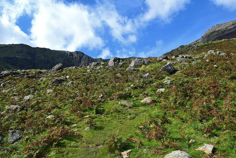
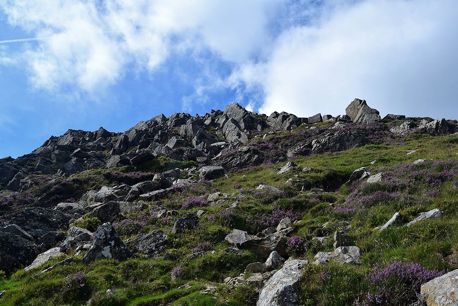
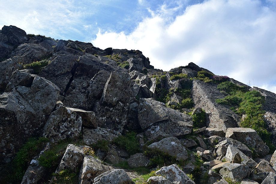
| Looking up to High Stile's north-east ridge from the stile |
 |
| The climber's path makes a rising traverse across the bracken covered slope to pass below a prominent low crag |
 |
| The Grasmoor group of fells across Buttermere from the climber's path |
 |
| High Snockrigg and Robinson from the climber's path |
 |
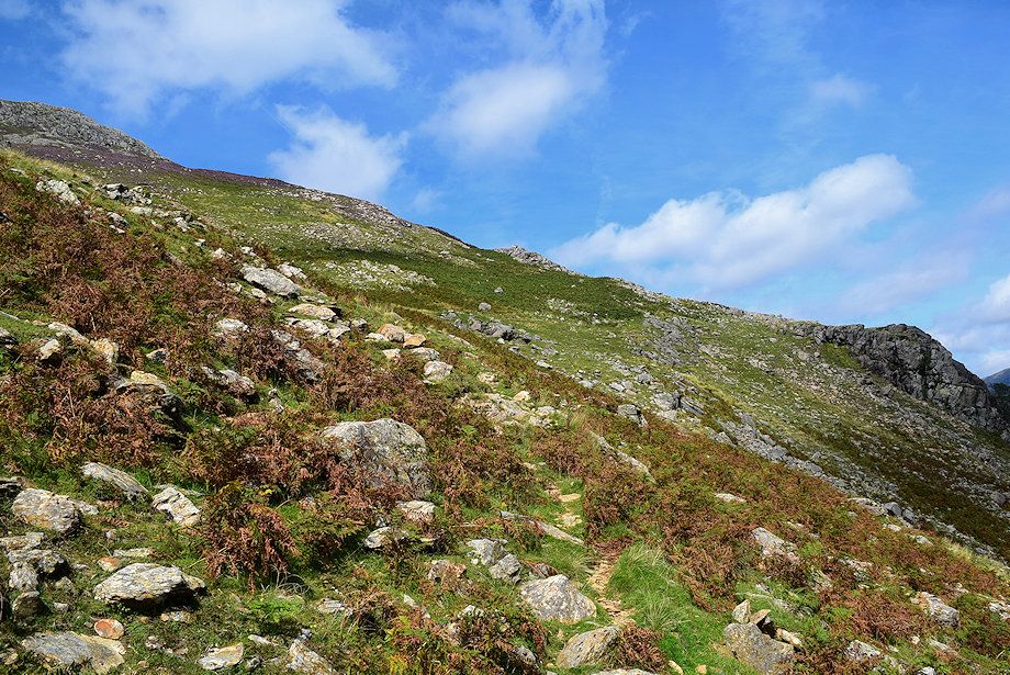
| The path becomes a little vague as it crosses areas of scree on the approach to the crag |
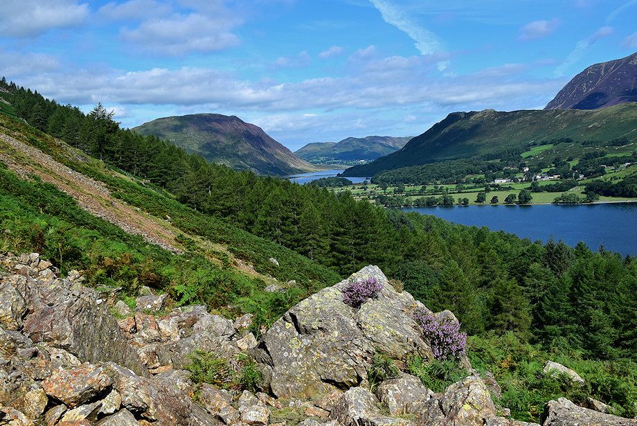 |
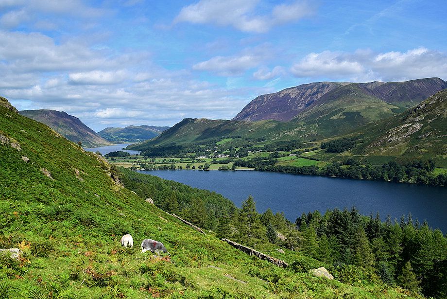
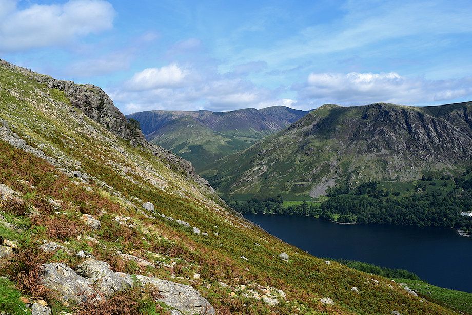
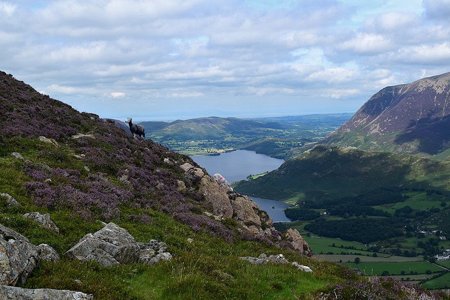
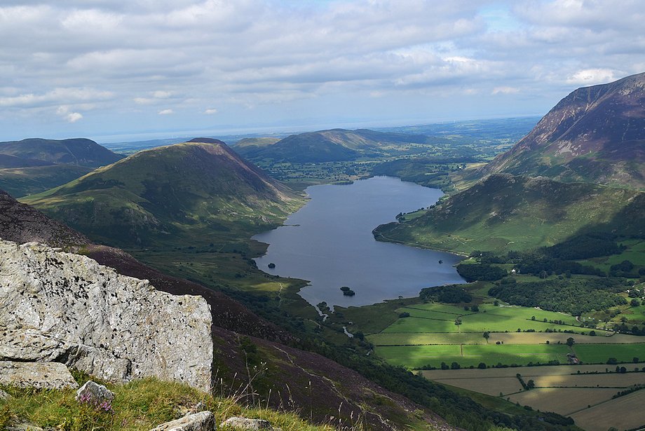
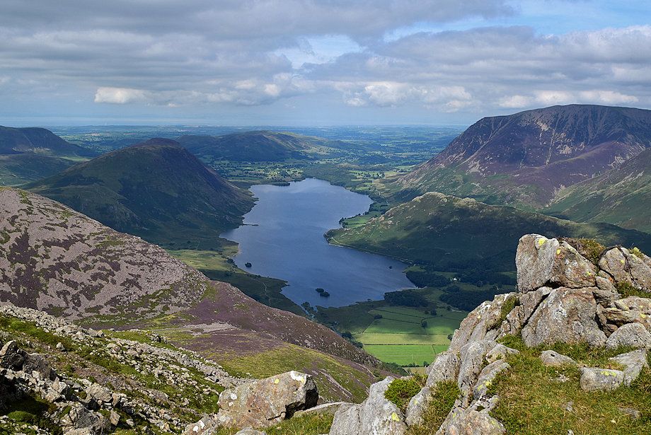
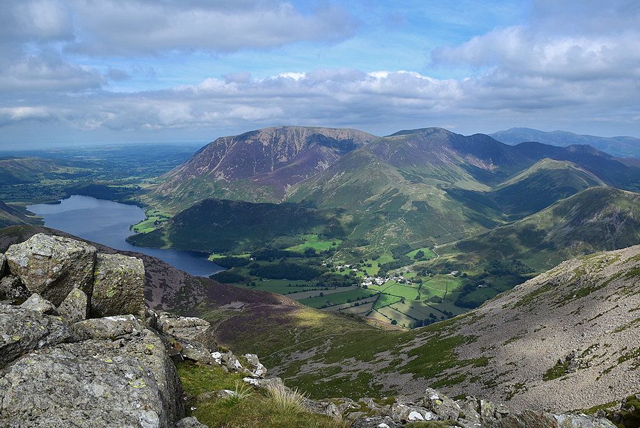
| Looking back to Buttermere and Crummock Water |
 |
| Passing below the crag |
 |
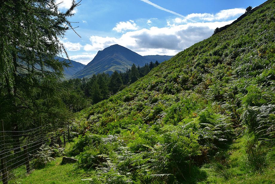
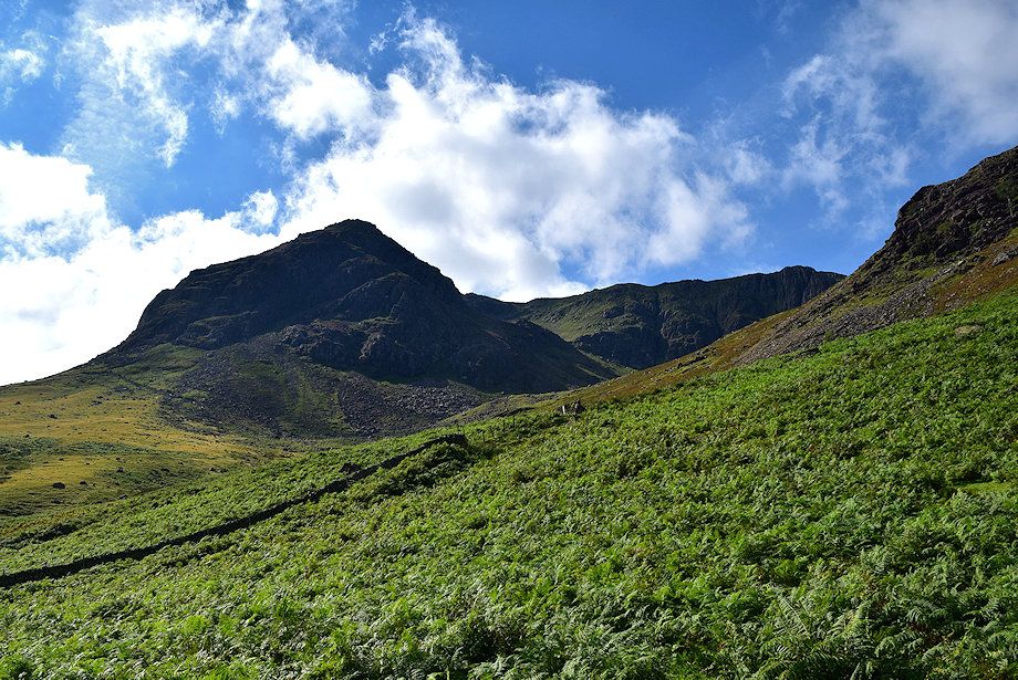
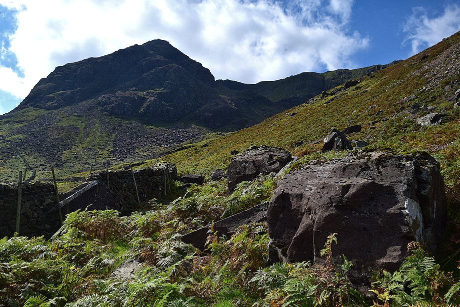
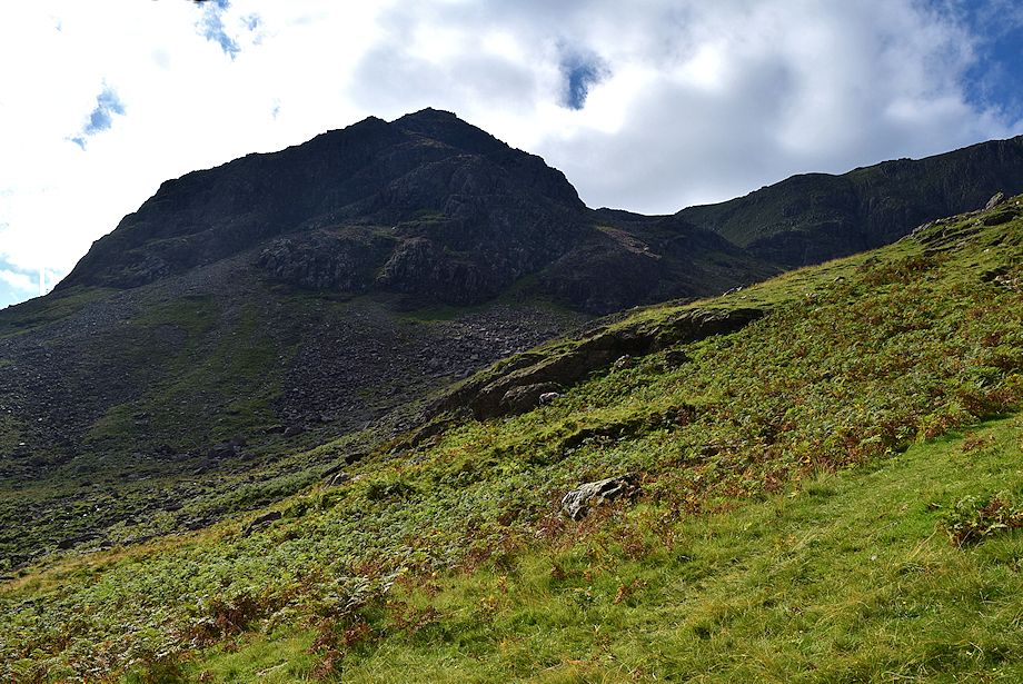
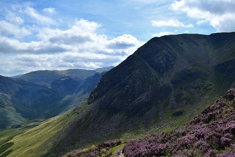
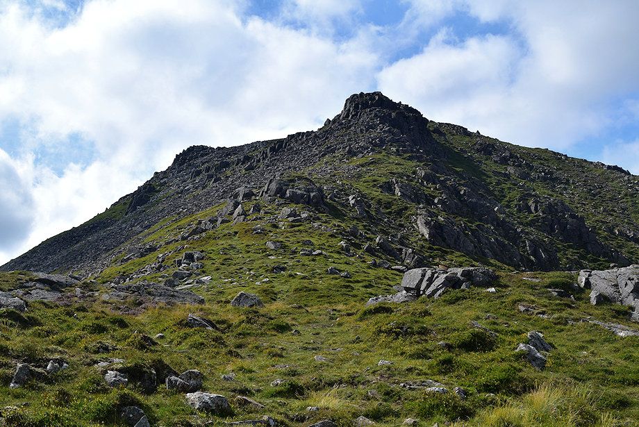
| After passing the crag High Crag comes into view |
 |
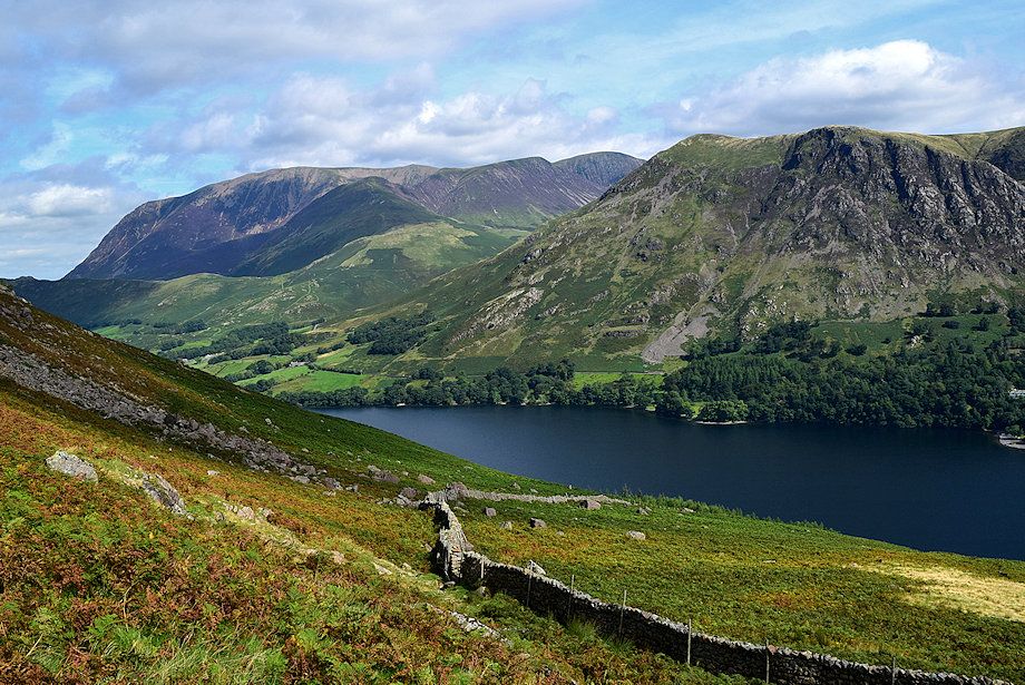
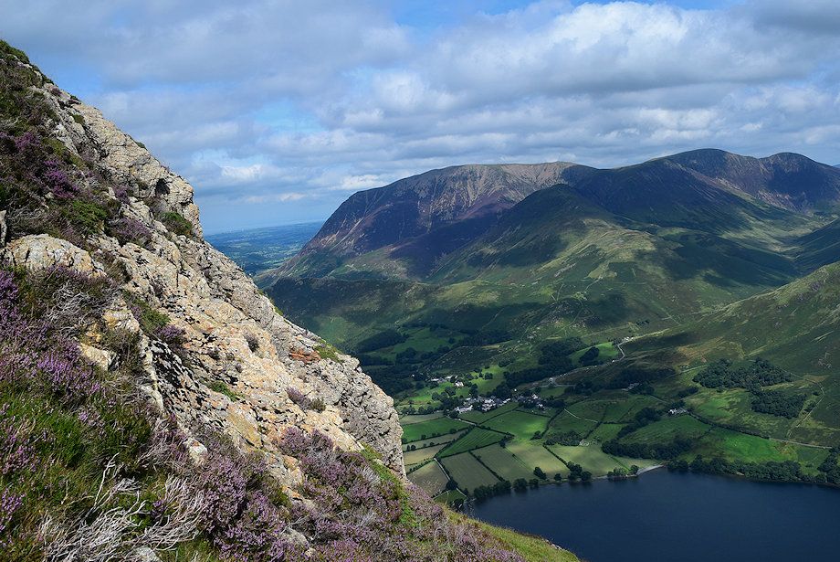
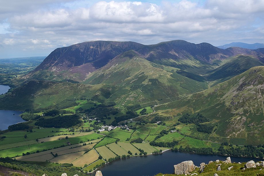
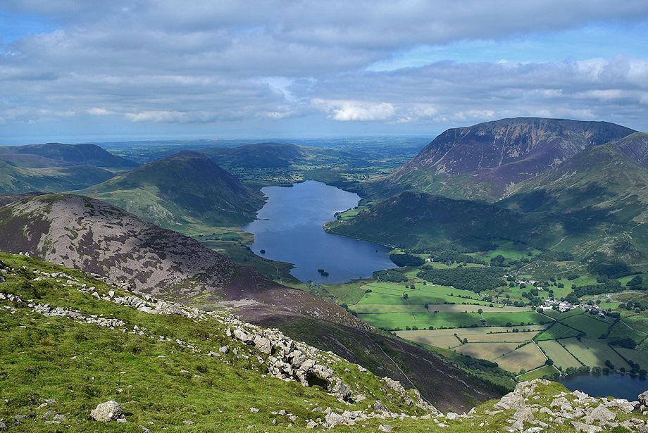
| Looking back to Crummock Water on the left flanked by Mellbreak and Rannerdale Knotts with Low Fell at its head |
 |
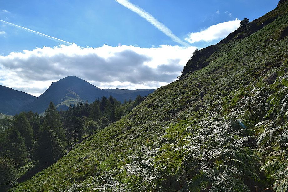
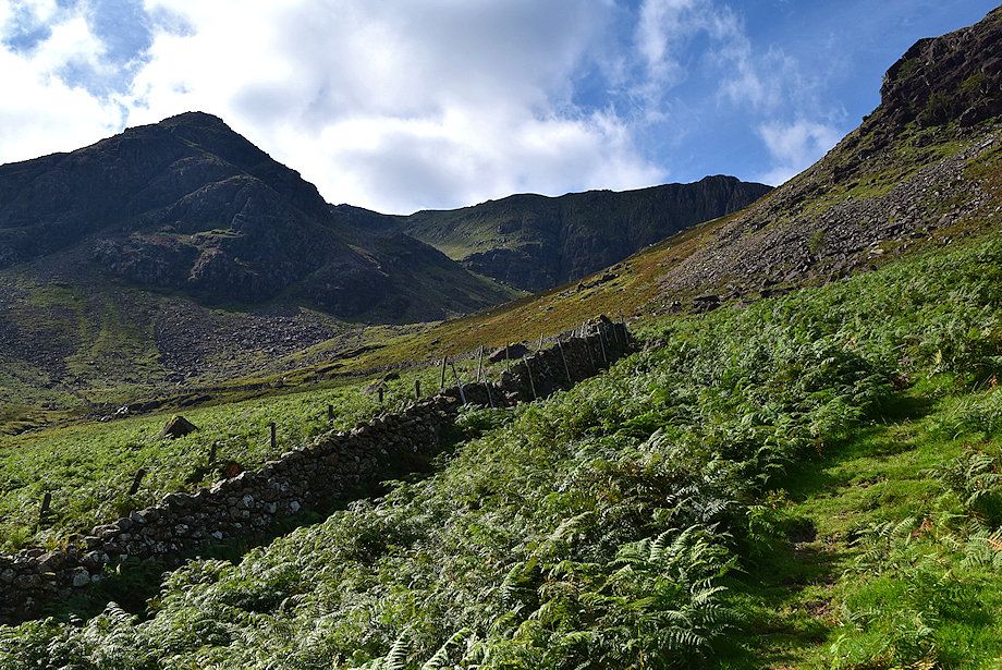
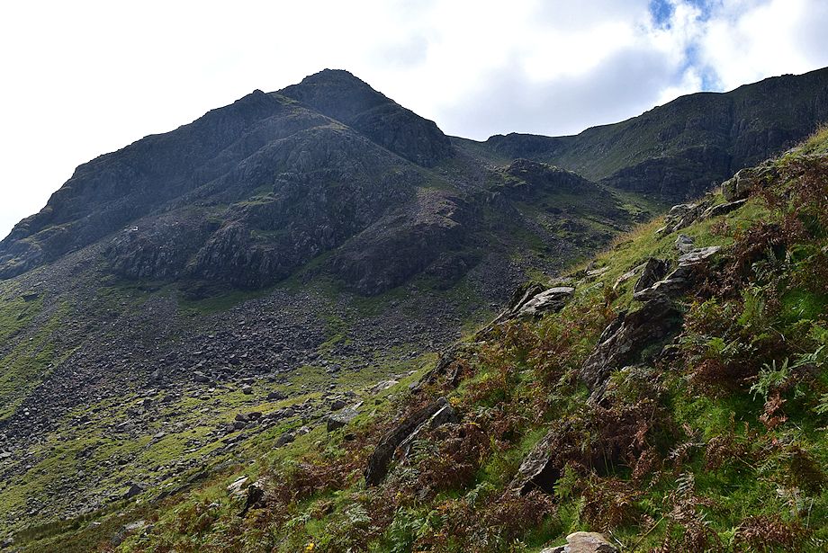
| Approaching the intake wall with High Stile's north east ridge rising steeply on the right |
 |
| Looking up to the north-east ridge |
 |
| The path alongside the intake wall |
 |
| Looking over to Dale Head and Fleetwith Pike |
 |
| The intake wall is followed to a point where it begins to turn towards Comb Beck and is crossed by a stile where the path from Gatescarth joins the climbers's path. The climber's path then turns up the slope to enter Burtness Comb |
 |
| The climber's path to Burtness Comb |
 |
| Looking back to the Grasmoor group and High Snockrigg from the climber's path |
 |
| High Crag and Comb Crags from the climber's path |
 |
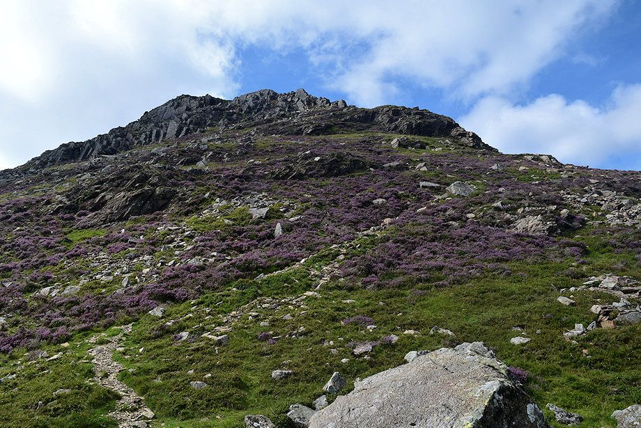
| The objective is to gain High Stile's north-east ridge at a point above and beyond the prominent crag on the right |
 |
| Looking back towards High Snockrigg and Robinson. The stile over the intake wall can be seen lower centre |
 |
| As the climber's path approaches the lip of Burtness Comb a faint path turns off to the right towards the north-east ridge |
 |
| The path leading up to the north-east ridge |
 |
| Looking over towards Grasmoor, Whiteless Pike, Wandope, Eel Crag and High Snockrigg |
 |
| Looking back to High Crag from the path to High Stile's north-east ridge |
 |
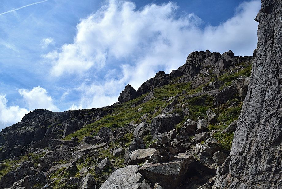
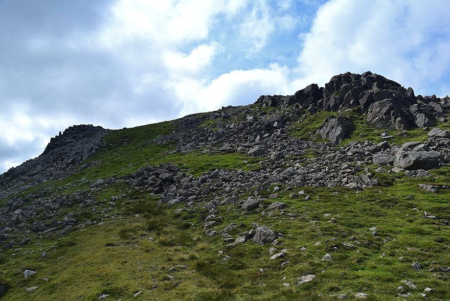
| The lower crags on the north-east ridge come into view as the path approaches the ridge line |
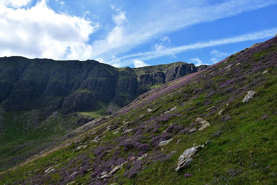 |
| Comb Crags across the south-east slopes of High Stile |
 |
| Grasmoor, Wandope, Eel Crag and Sail, with Scar Crags and Causey Pike appearing over High Snockrigg on the right |
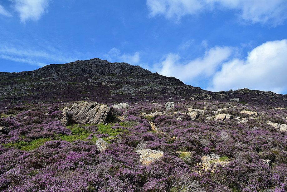 |
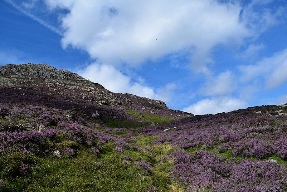
| Rocks and heather on High Stile's north-east ridge |
 |
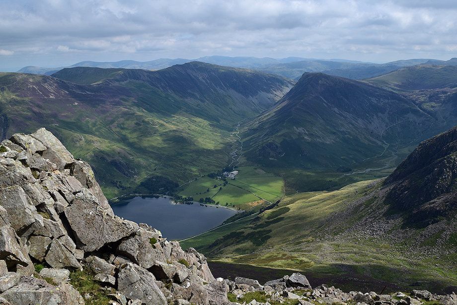
| Warnscale Bottom and High Crag from the north-east ridge |
 |
| Crummock Water comes into view |
 |
| The path winds up to the base of the crags which form two tiers which can be climbed directly via simple scrambles |
 |
| Looking back from the shelf below the first tier of crags |
 |
| Approaching the first tier of crags |
 |
| Grasmoor across the first tier of crags |
 |
| Looking across to Crummock Water |
 |
| Red Pike and Dodd across Bleaberry Comb |
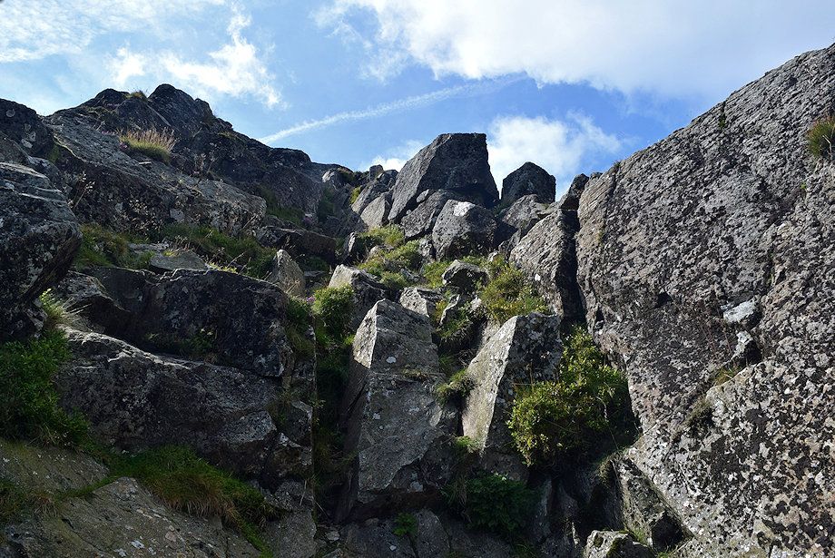 |
| The scramble route up the first tier is steep but straightforward |
 |
| Looking down on the scramble from the top of the first tier |
 |
| High Crag from the top of the first tier |
 |
| Looking down on Gatescarth from the top of the first tier |
 |
| Continue in the same direction to scramble up the second tier |
 |
| The Grasmoor group of fells from the top of the second tier of crags |
 |
| From the top of the second tier easier slopes leads up to the base of the much steeper upper crags, again split into two tiers which are separated by short gap. The first tier is by-passed by a path which runs above a steep scree slope below its left edge |
 |
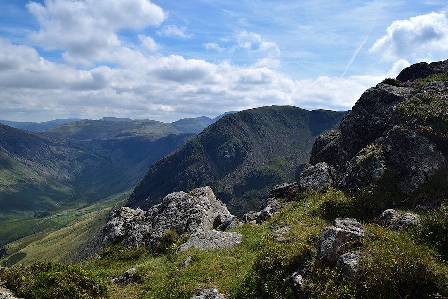
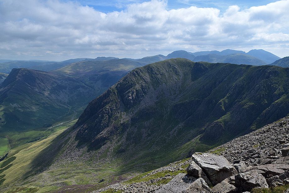
| Pillar appears over the ridge between High Stile and High Crag |
 |
| Looking back to the top of the second tier of crags from the by-pass path below the upper crag |
 |
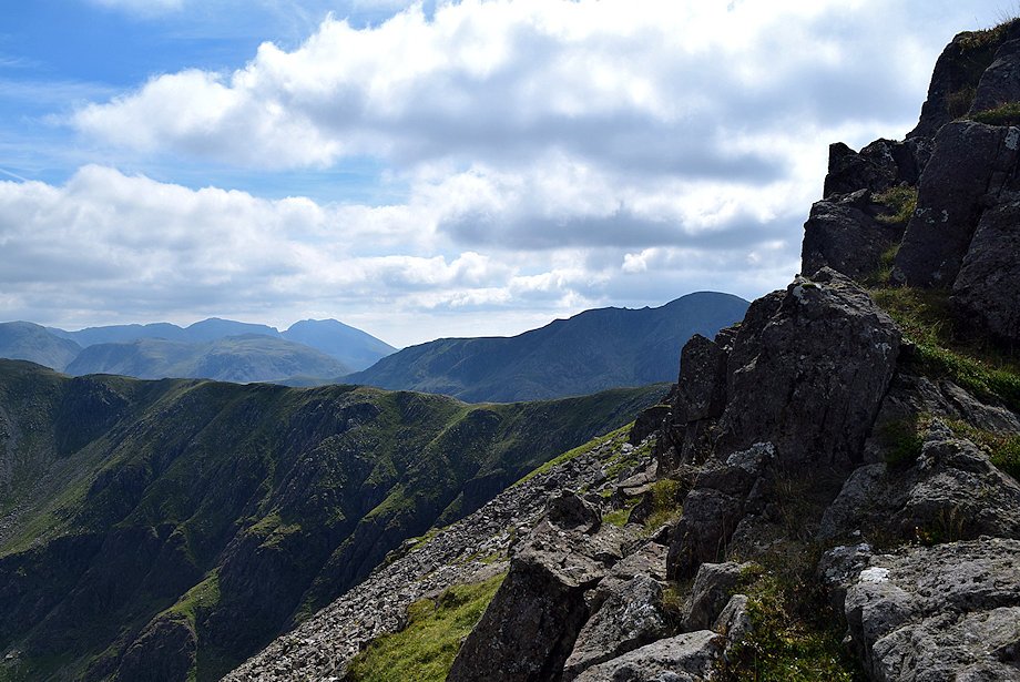
| The Scafells over High Crag from the by-pass path |
 |
| The upper tier comes into view beyond the gap in the crags |
 |
| Crummock Water from the gap in the crags |
 |
| The Loweswater group of fell over Red Pike and Dodd |
 |
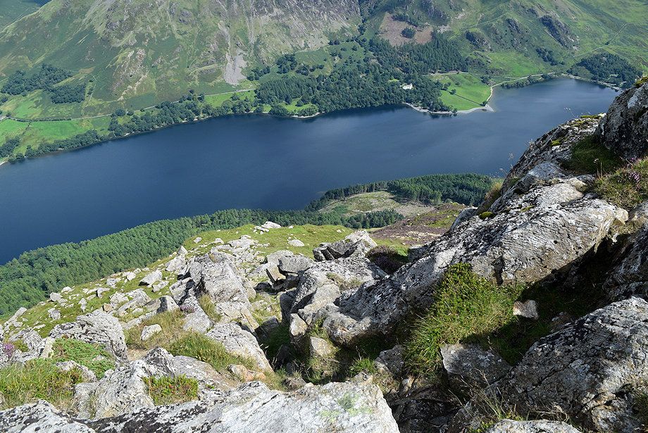
| Looking down on Gatesgarth Farm |
 |
| The path continues below the upper tier for a short distance before turning to climb an obvious short gully to gain the top of the crag |
 |
| A marker cairn set on a rock helps to locate the line of the path if descending the north-east ridge |
 |
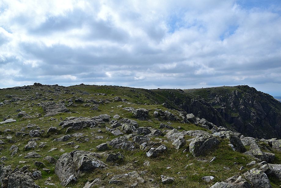
| The view looking north-east from the top of the upper crags |
 |
| Mellbreak, Crummock Water and Grasmoor from the top of the crags |
 |
| All that remains is a simple climb along a grass gangway to reach the top of the north-east ridge |
 |
| The cairn on the top of the north-east ridge |
 |
| The Scafells over Kirk Fell from the top of the north-east ridge |
 |
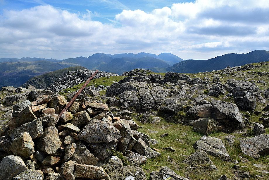
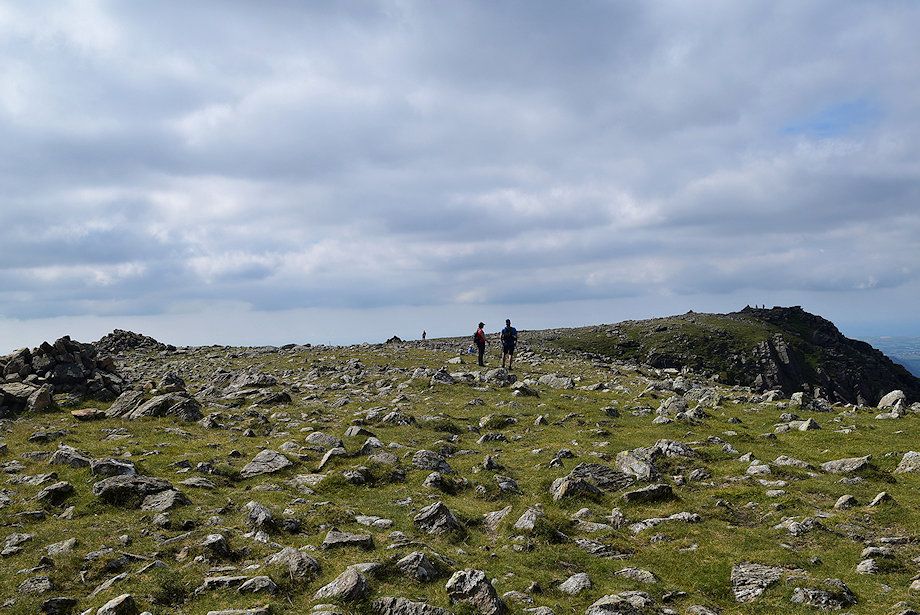
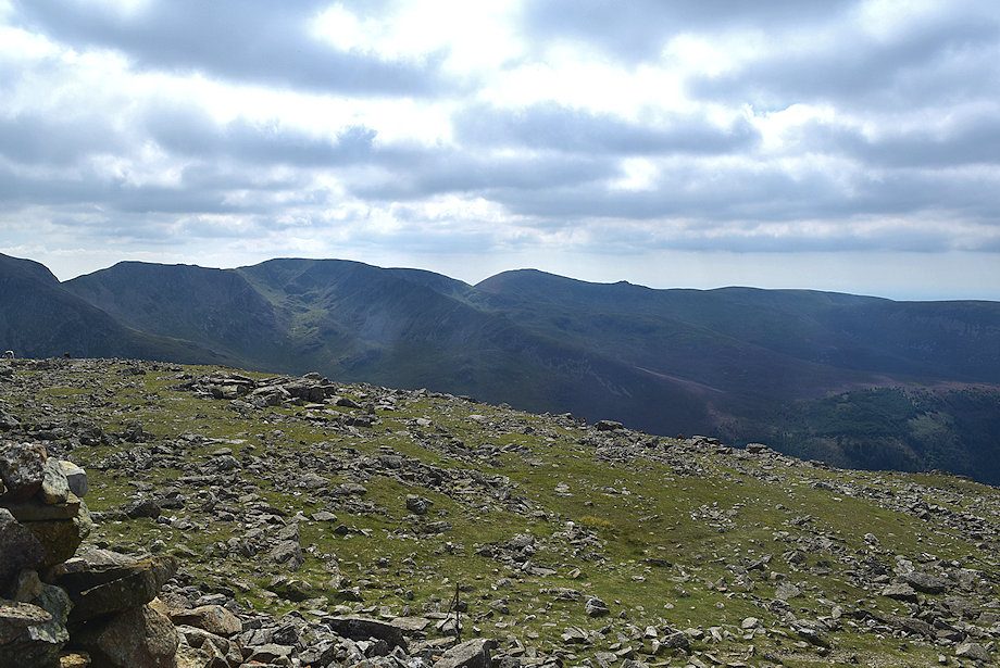
| The highest point of High Stile, marked by a large cairn, lies along the north-east spur although the top of Chapel Crags, over to the right, has long been regarded by walkers as being the summit of the fell |
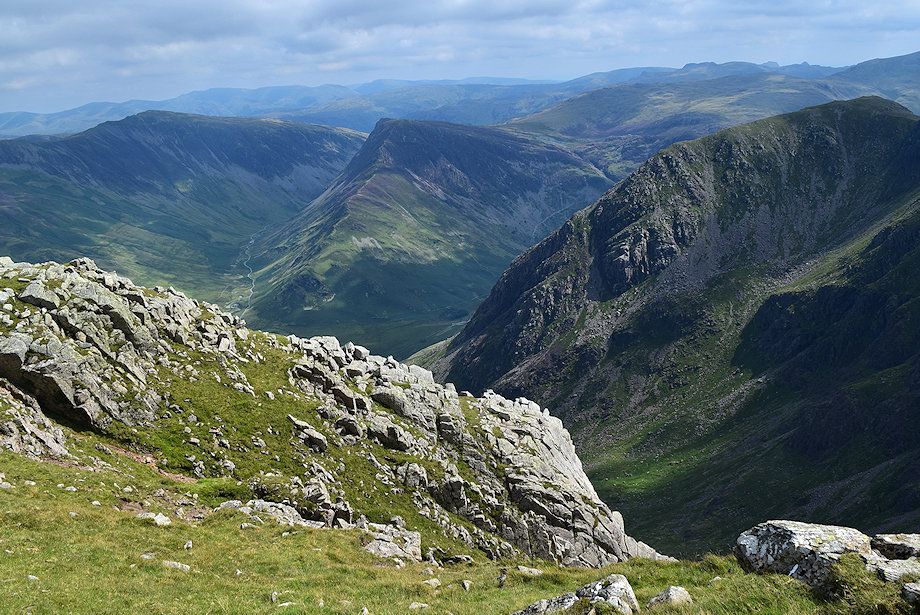 |
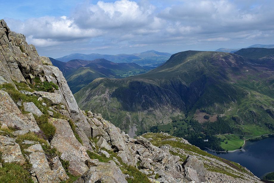
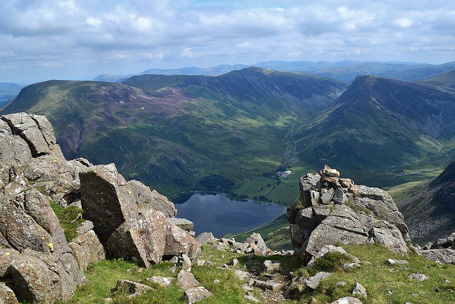
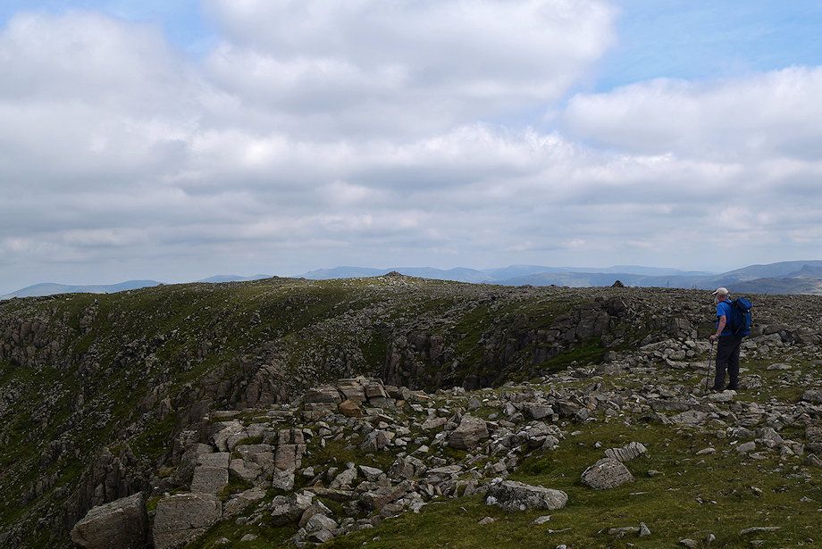
| It's worthwhile walking along the edge of the north-east spur on the way to the summit for dramatic views over Burtness Comb. Dale Head, Fleetwith Pike and High Stile across the top of Grey Crag |
 |
| Pillar across the headwall of Burtness Comb |
 |
| Approaching the highest point on the end of the north-east spur |
 |
| The cairn on High Stile's highest point |
 |
| Approaching the traditional summit on the top of Chapel Crags |
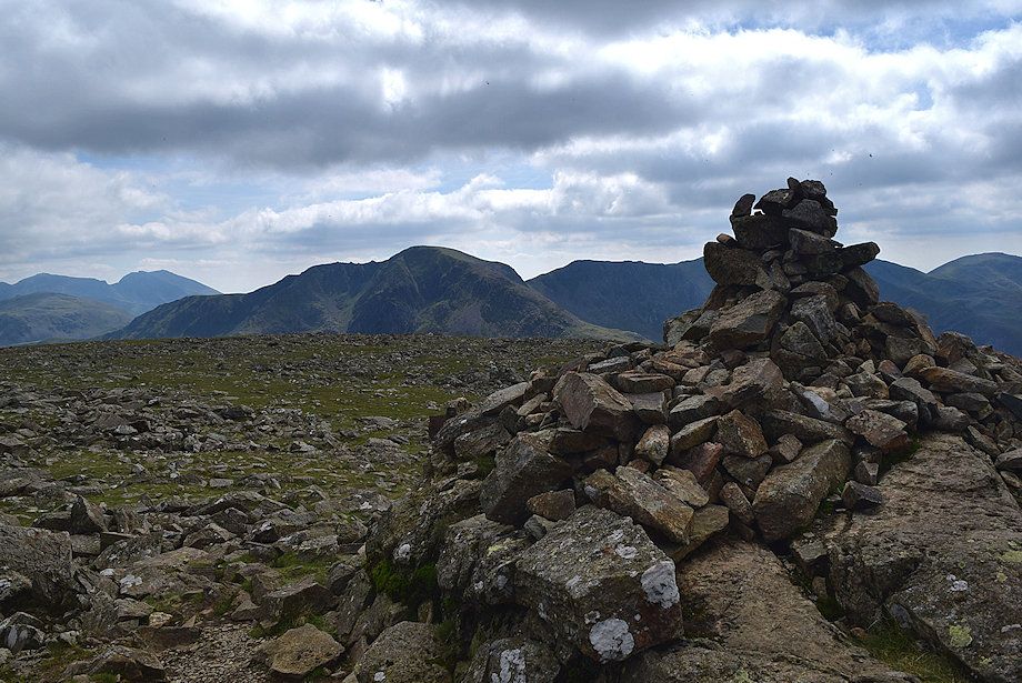 |
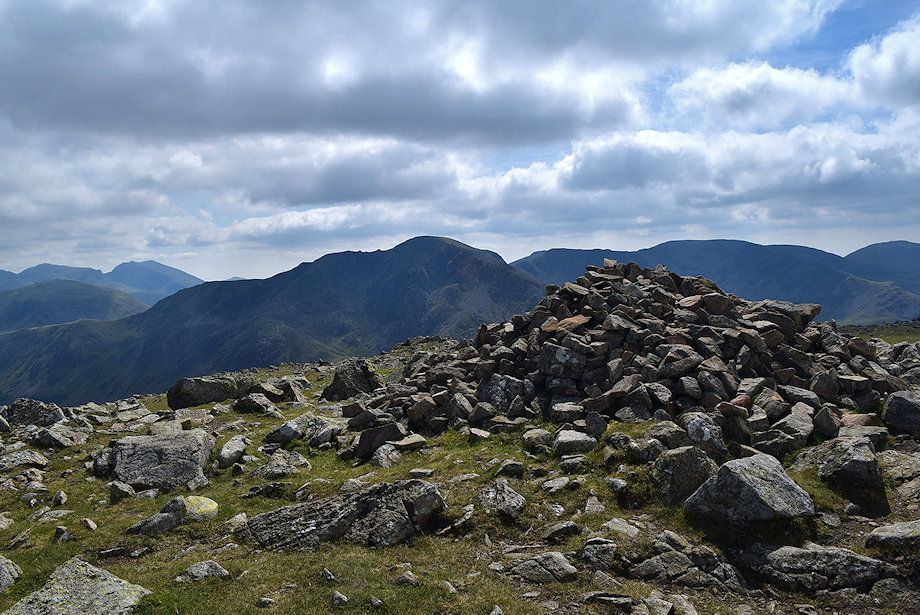
| The summit cairn on High Stile |
 |
| Looking back to the highest point |
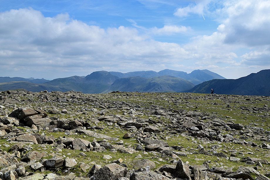 |
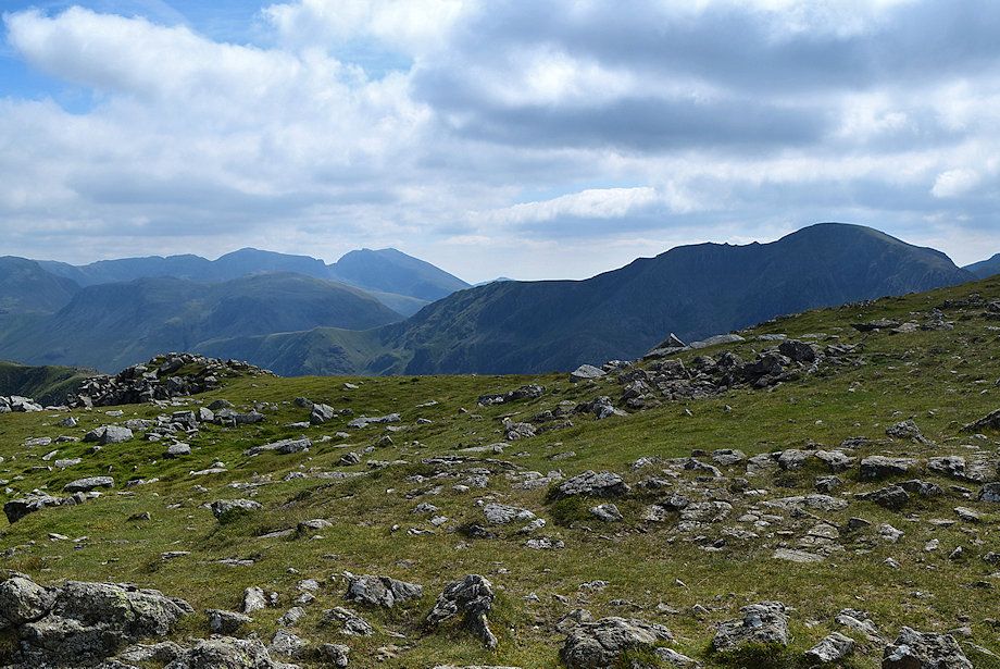
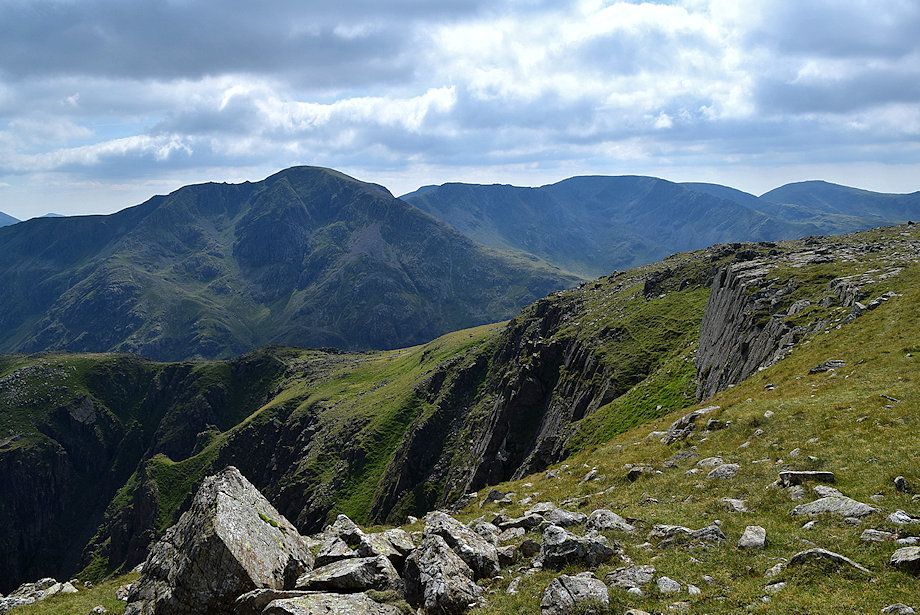
| Green Gable, Great Gable, Kirk Fell, Scafell Pike and Scafell from the summit of High Stile |
 |
| Pillar from the summit of High Stile |
 |
| Black Crag, Scoat Fell, Steeple and Haycock from the summit of High Stile |
 |
| Ennerdale Water from the summit of High Stile |
 |
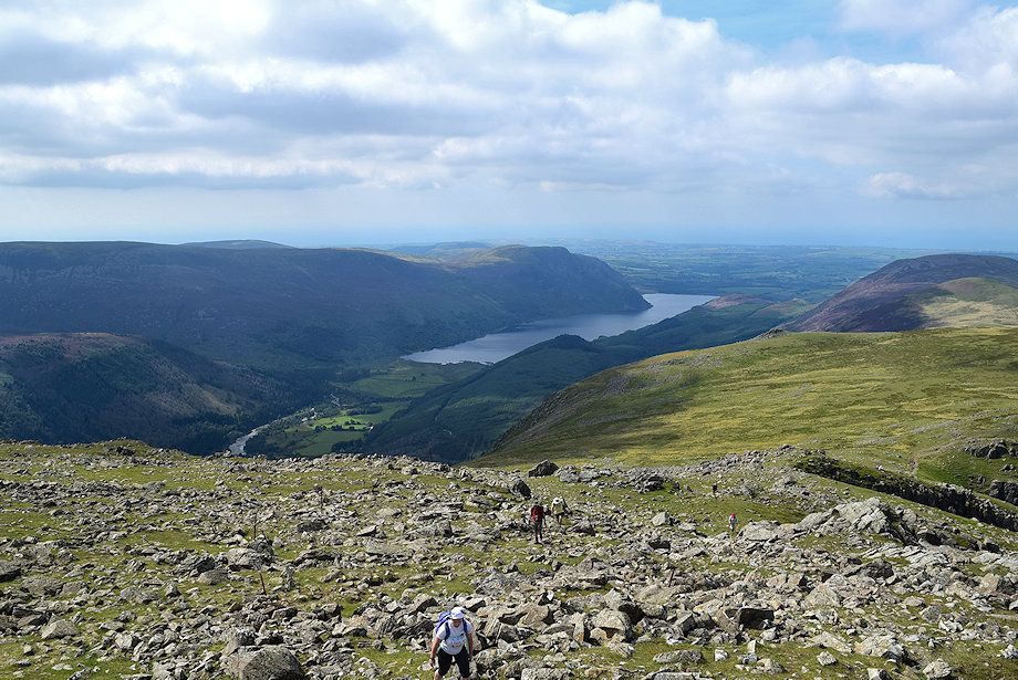
| Red Pike and the connecting ridge to Starling Dodd and Great Borne |
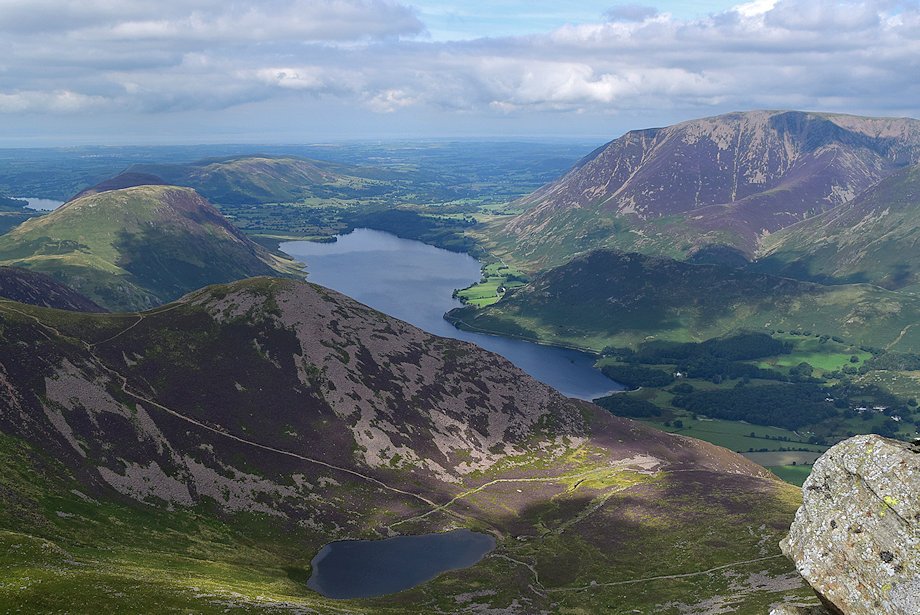 |
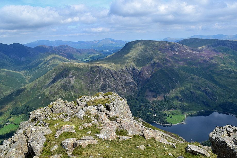
| Loweswater, Crummock Water and Bleaberry Tarn from the summit of High Stile |
 |
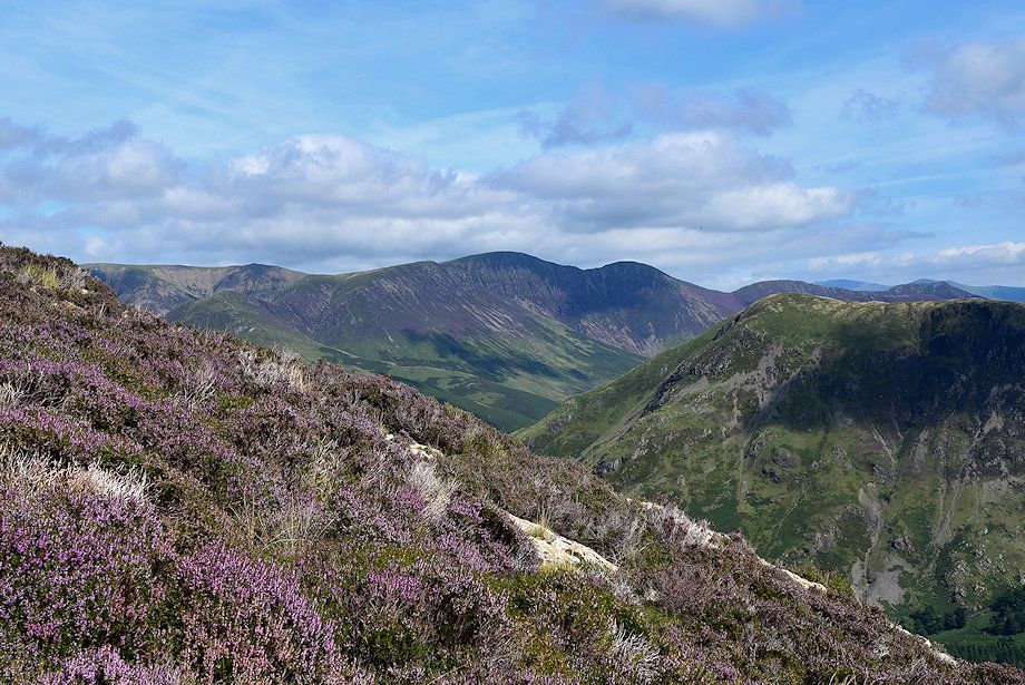
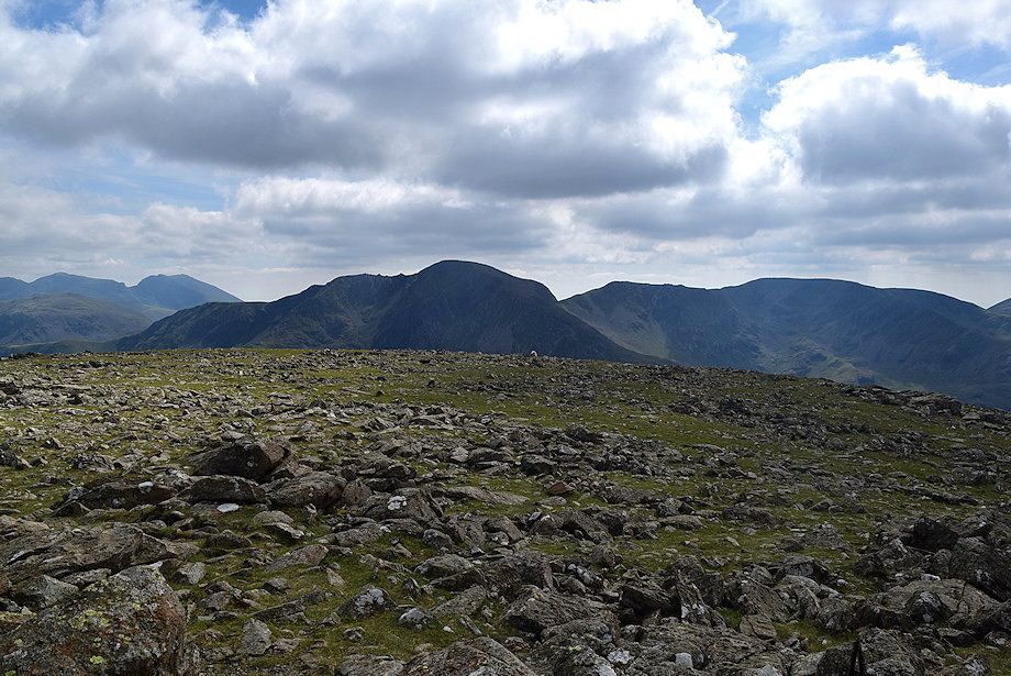
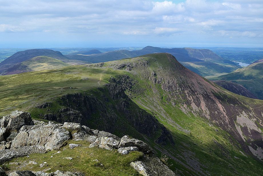
| The Grasmoor group of fells from the summit of High Stile |
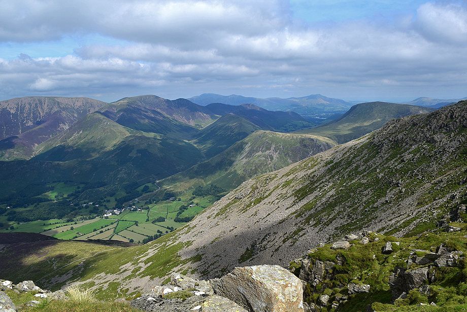 |
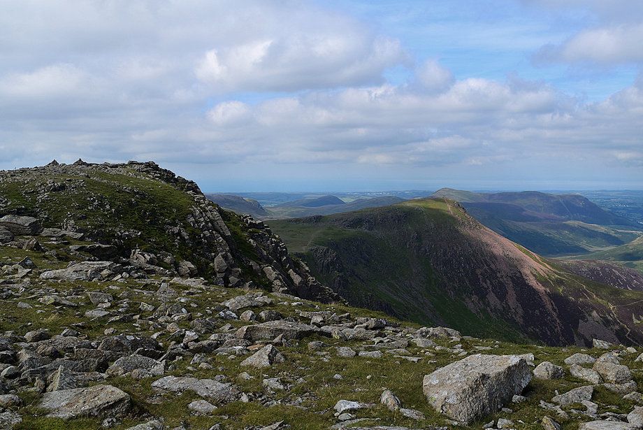
| Looking north-east to Skiddaw and Blencathra on the horizon from the summit of High Stile |
