 |
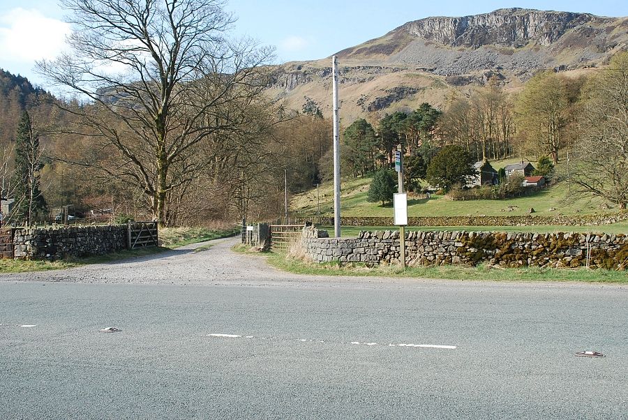
| The lane to Shoulthwaite Farm opposite the Rough How Bridge lay-by |
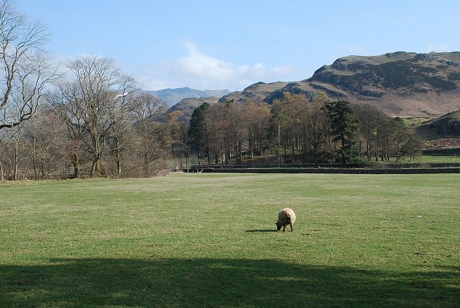 |
| Looking back towards Blencathra and High Rigg from the lane |
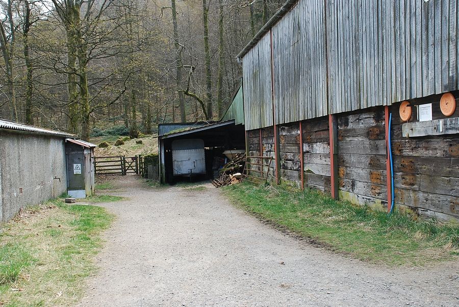 |
| A gate at the end of the farmyard gives access to the Thirlmere Forest |
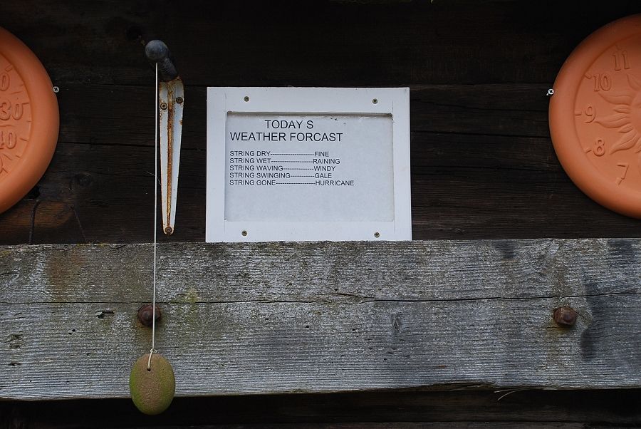 |
| Checking the days weather forecast! |
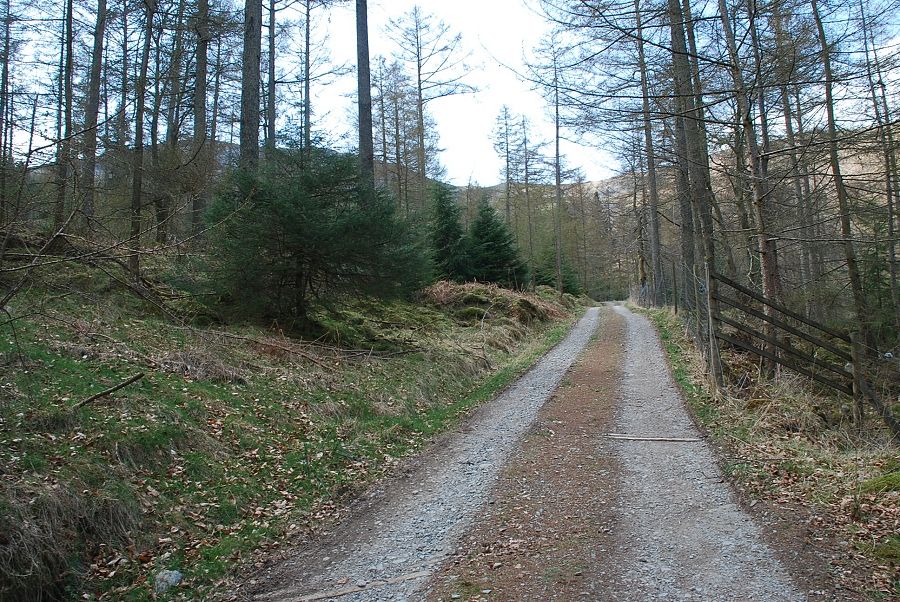 |
| A right turn from the gate leads to a forest road heading towards Shoulthwaite Gill |
 |
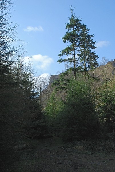
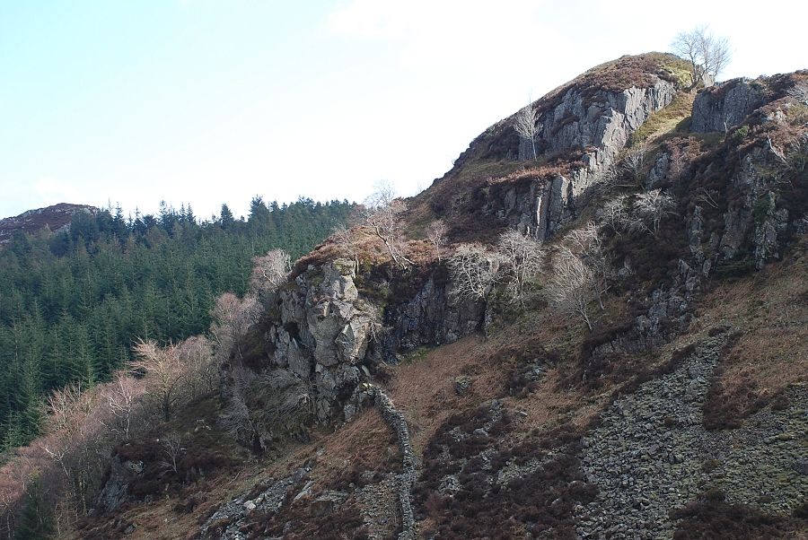
| The road can be used to visit Castle Crag, an Iron Age hill fort, high above the eastern side of the gill |
 |
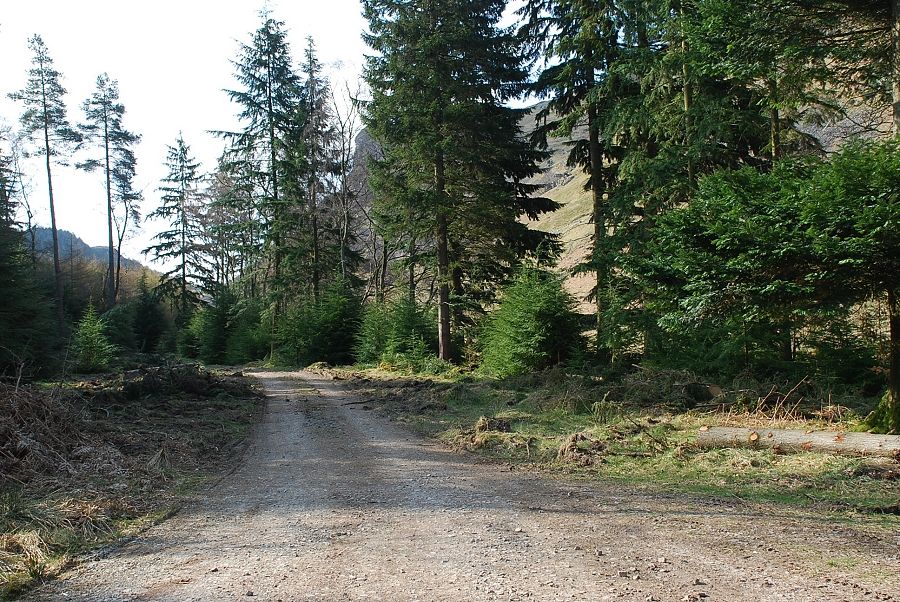
| Where the road forks an indistinct path bears right towards the gill |
 |
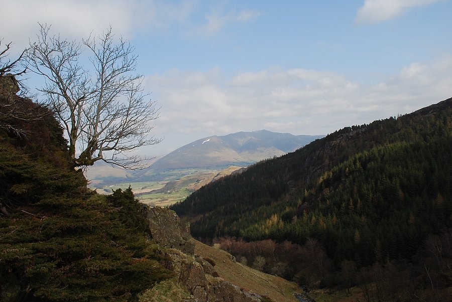
| Exiting the forest via the gate and bridge over the stream |
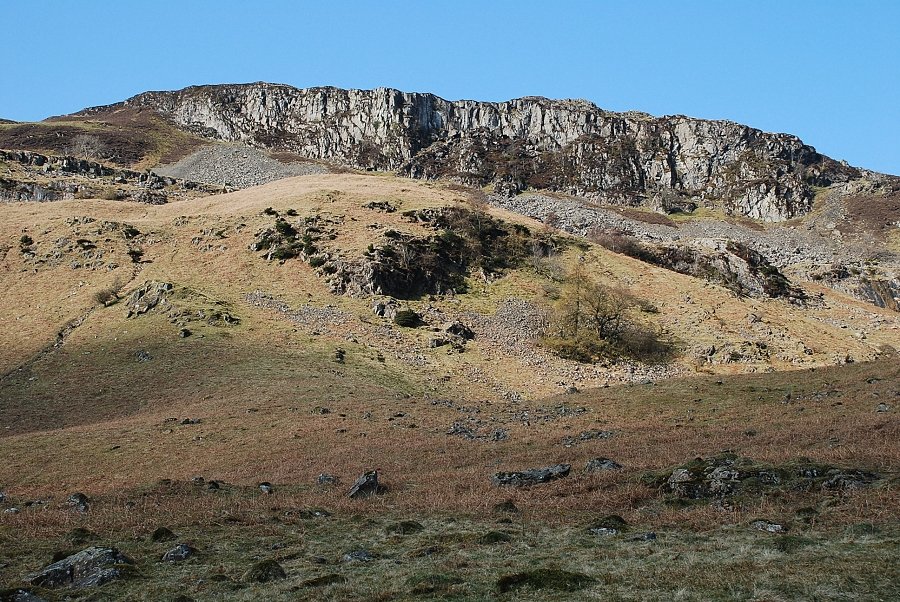 |
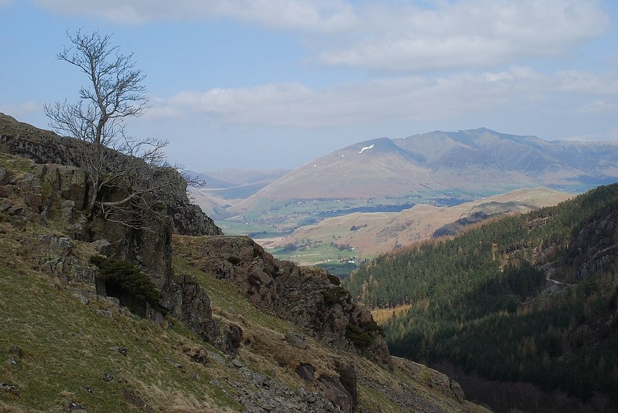
| Goat Crag from the bridge over Shoulthwaite Gill |
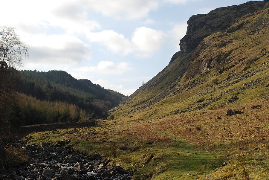 |
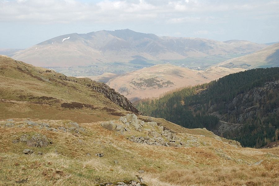
| Looking along Shoulthwaite Gill from the bridge, Iron Crag on the right and Castle Crag on the left. The path climbs to the low point on the horizon |
 |
| Looking back to Lonscale Fell from the path |
 |
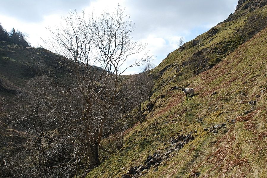
| The west side of the gill is lined by steep crags and deep ravines |
 |
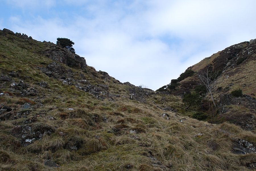
| The gill narrows in its upper reaches and the path is forced onto the western slopes |
 |
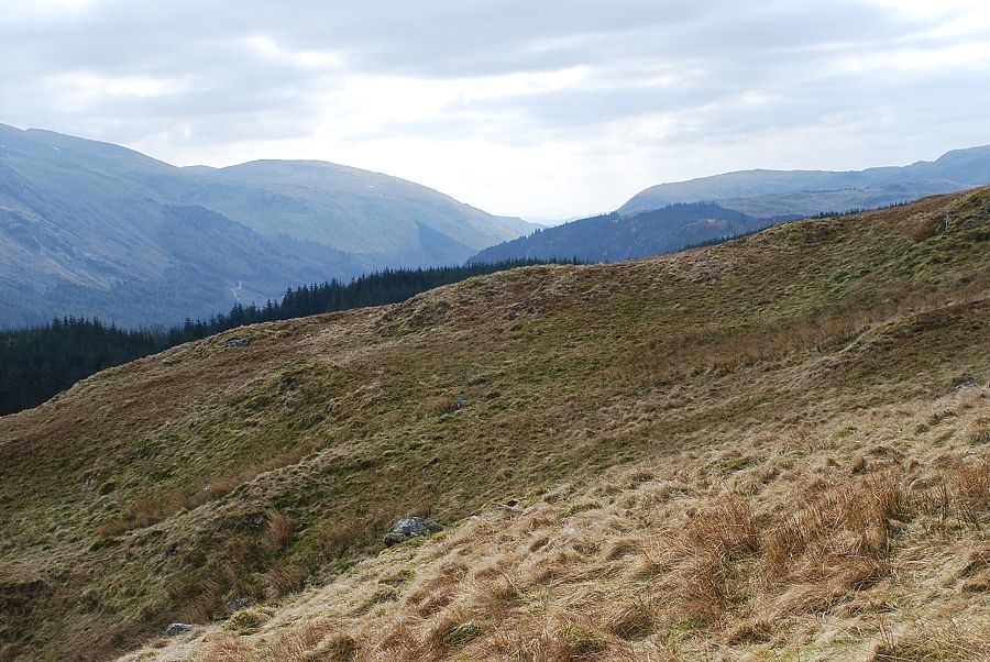
| Looking back from the upper part of the gill |
 |
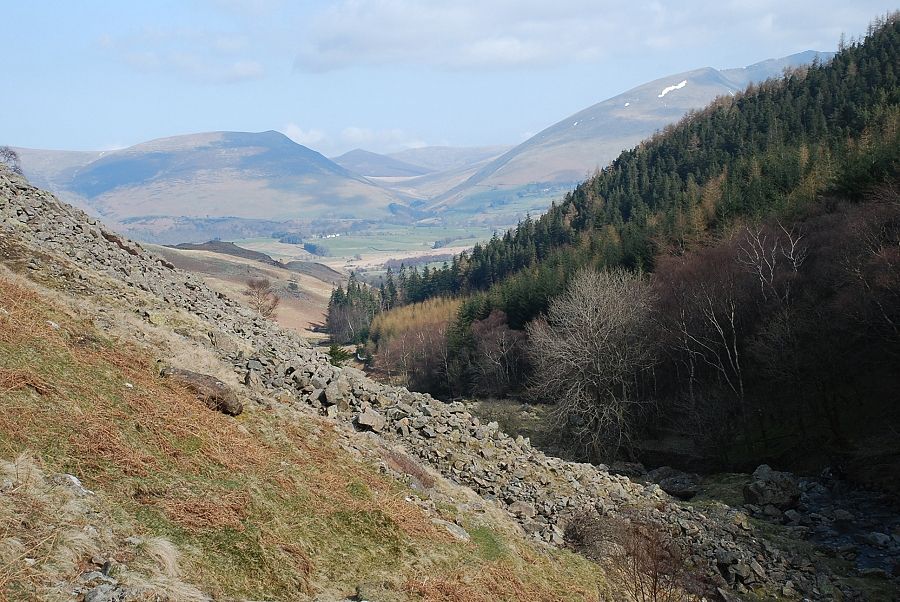
| Crossing below Mere Gill and almost time to leave Shoulthwaite Gill to begin the climb towards the summit |
 |
| Climbing the steep slopes on the south side of Mere Gill |
 |
| Blencathra from Mere Gill |
 |
| Castle Crag across Shoulthwaite Gill |
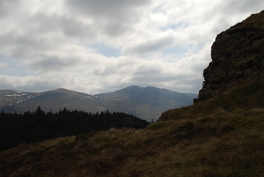 |
| Raise, White Side and Helvellyn from Mere Gill |
 |
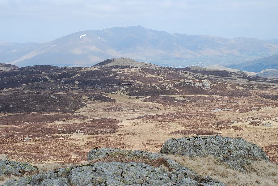
| Higher above Mere Gill looking to Blencathra and High Rigg |
 |
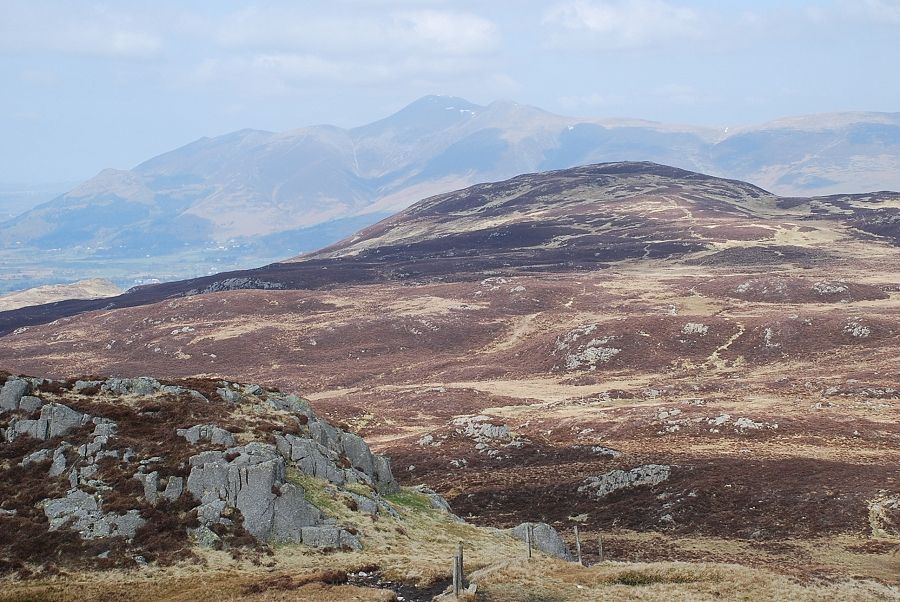
| Clough Head above Benn Man |
 |
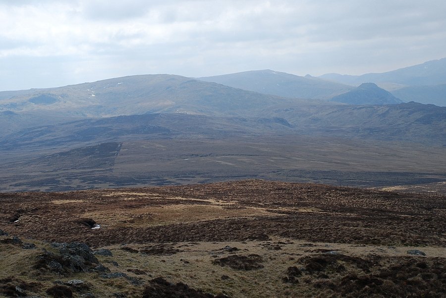
| The view to the south as Mere Gill opens out to wider grass slopes |
 |
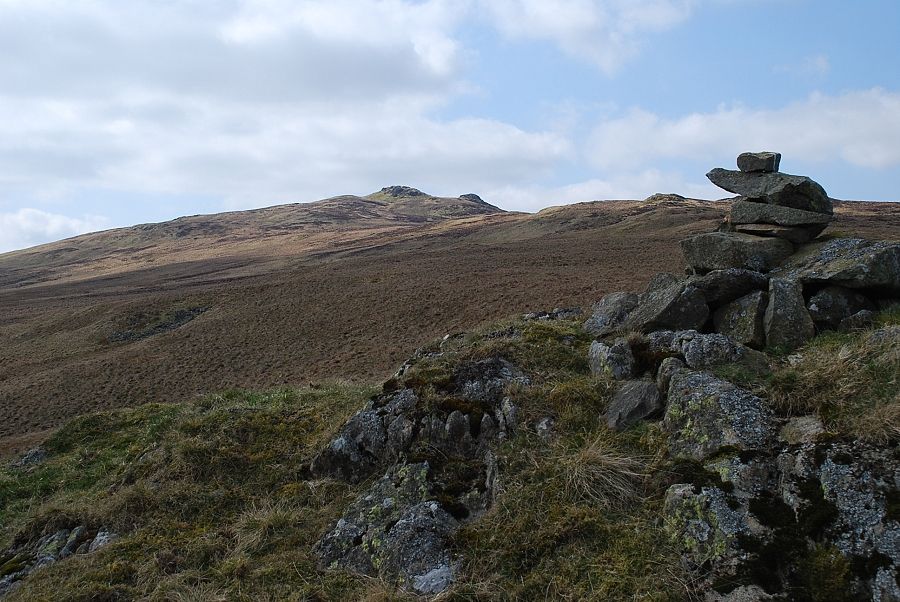
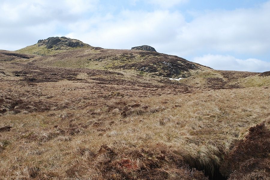
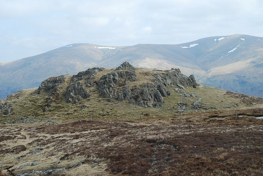
| Two rock knolls come into view on the skyline. They look remarkably similar to the summit of High Seat but lie some distance to the north of it |
 |
| Heading south west away from Mere Gill the summit of High Seat comes into view |
 |
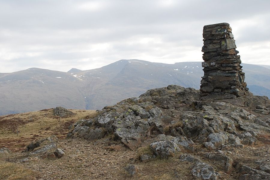
| The summit of High Seat from the "prominent cairn" which Wainwright noted in his diagram of this ascent |
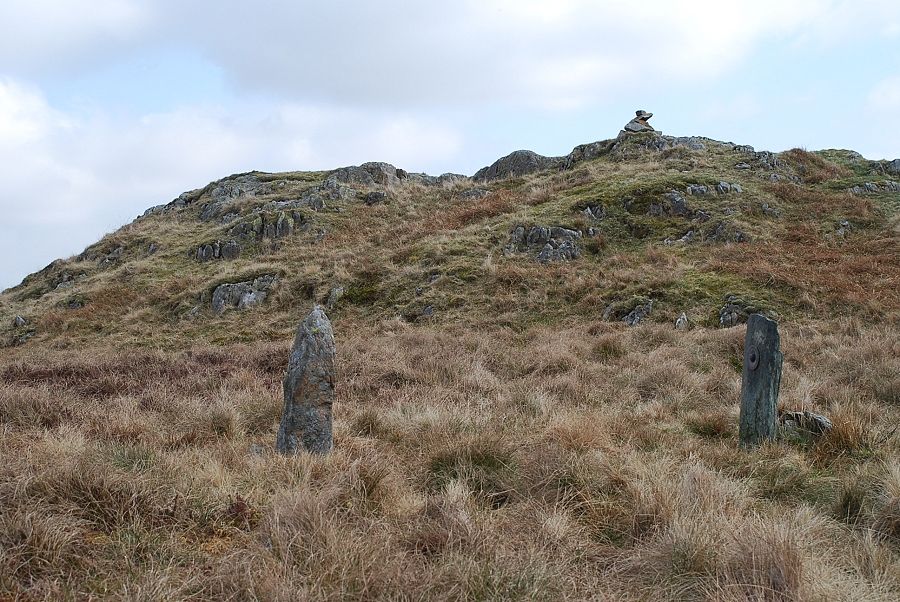 |
| Near the cairn is Litt's Memorial, two upright stones, one bears a brass disc inscribed " In memory of J. Litt who died March 9 1880 " The other stone has a poem describing how the stones were collected from Mere Gill and placed here |
 |
| Blencathra from Litt's Memorial |
 |
| Looking over to Ullscarf on the climb from Litt's Memorial to the summit |
 |
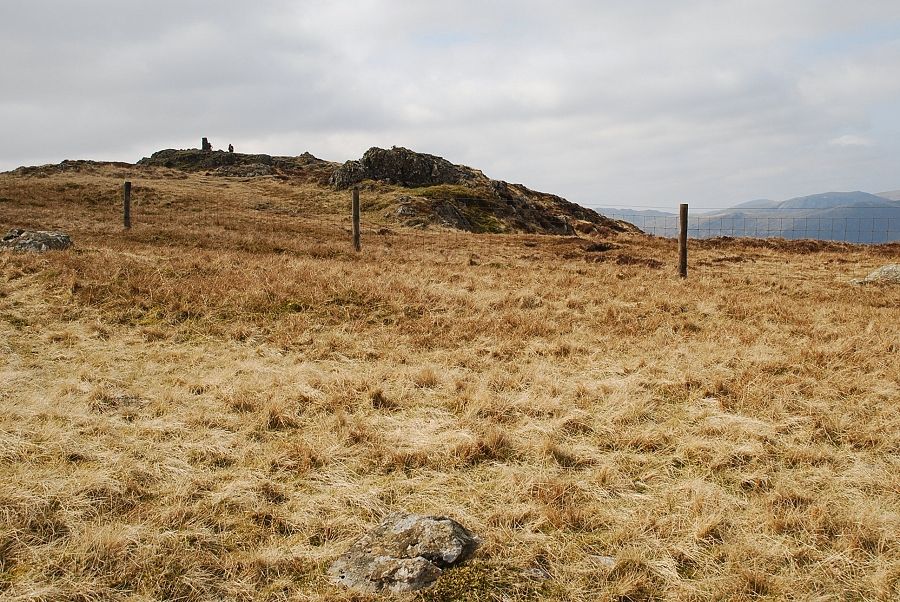
| Approaching the twin tops of High Seat. The east top on the left is simply known as Man and is separated from the actual summit by a ridgeline fence |
 |
| Looking back across the open slopes of High Seat to Clough Head |
 |
| The summit of High Seat beyond the ridgeline fence |
 |
| The summit of High Seat from Man |
 |
| Blencathra from Man |
 |
| Bleaberry Fell and Skiddaw from Man |
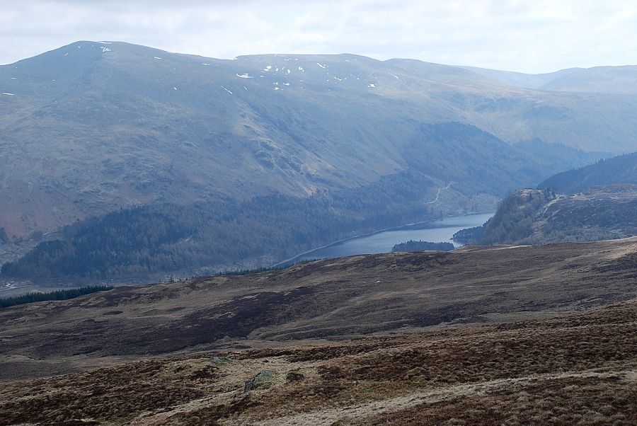 |
| Helvellyn and Thirlmere from Man |
 |
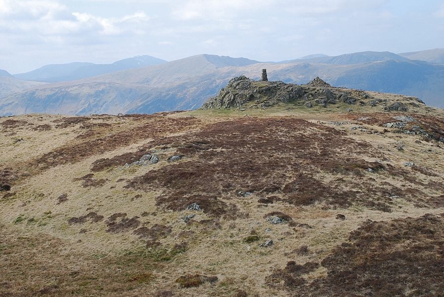
| The summit of High Seat |
 |
| Man from the summit of High Seat backed by Great Dodd, Watson's Dodd and Stybarrow Dodd |
 |
| Looking south along the Central Fells ridge to Ullscarf and High Raise |
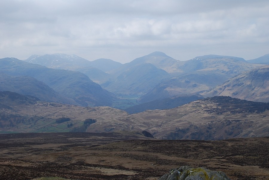 |
| Scafell Pike and Great Gable beyond the head of Borrowdale |
