 |
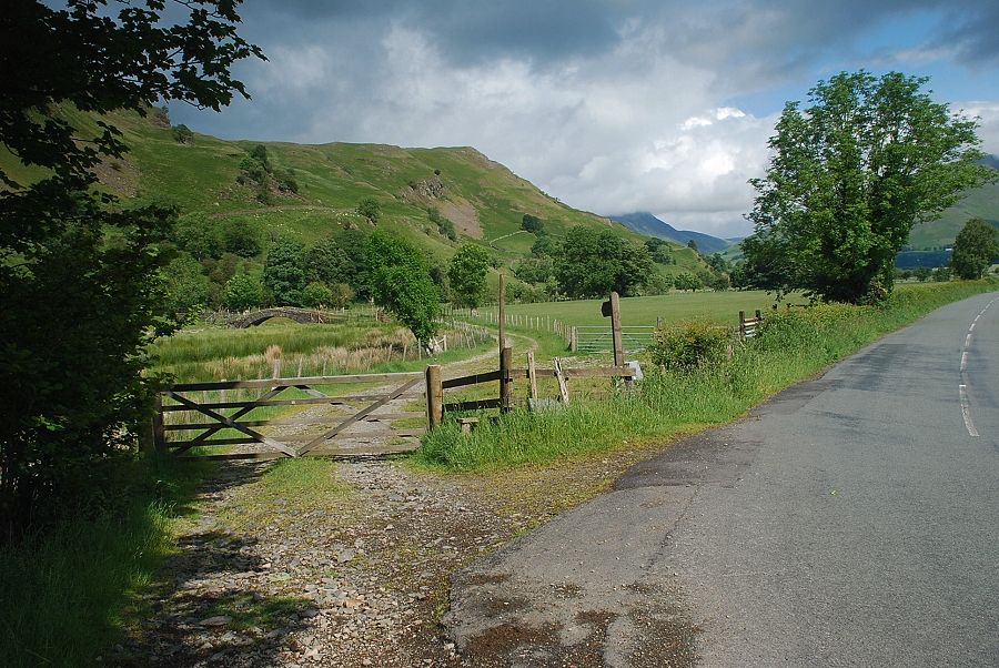
| The starting point for this walk is a stile located about 500 yards north of Low Bridge End Farm in St. John's in the Vale, this gives access to a farm track leading to Sosgill Bridge. There is room to park a couple of cars in a lay-by opposite Bram Crag Farm, a few hundred yards to the north |
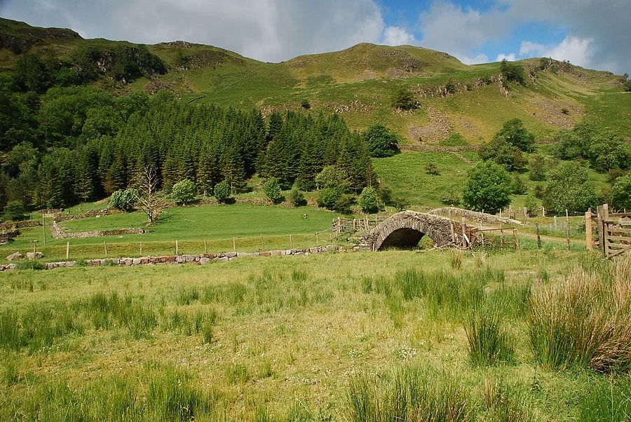 |
| Sosgill Bridge and High Rigg from the farm track |
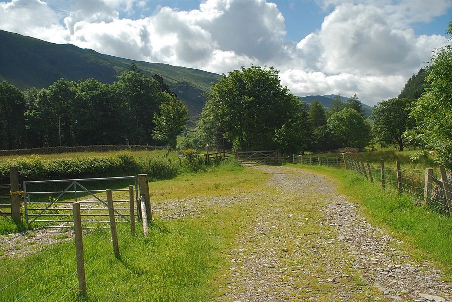 |
| Looking back from the farm track |
 |
| Blencathra from Sosgill Bridge |
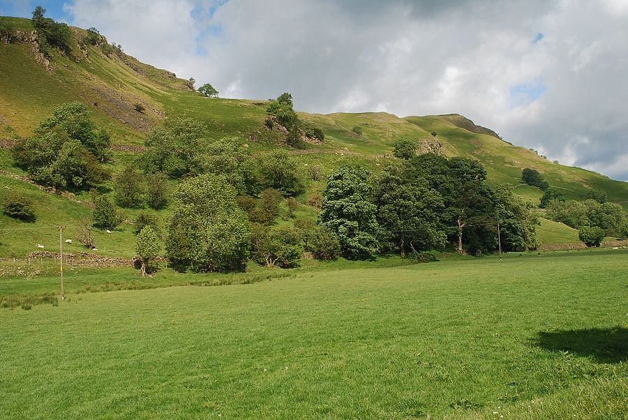 |
| From Sosgill Bridge an indistinct path crosses the field towards a handgate beyond a small stream |
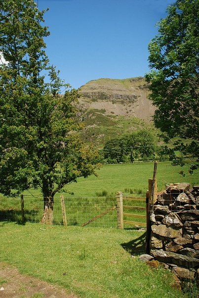 |
| Looking over towards Bram Crag from the handgate |
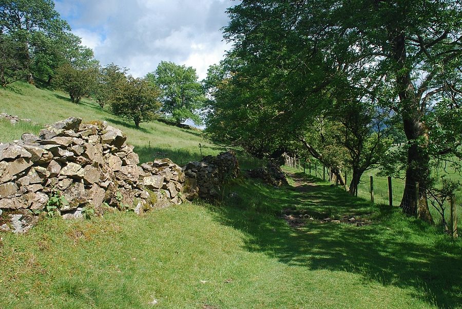 |
| The handgate gives access to a bridleway path which runs along the eastern side of High Rigg |
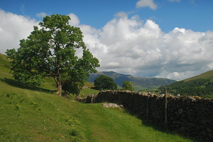 |
| Blencathra from the bridleway |
 |
| Looking over to Sandbed Gill and Bram Crag |
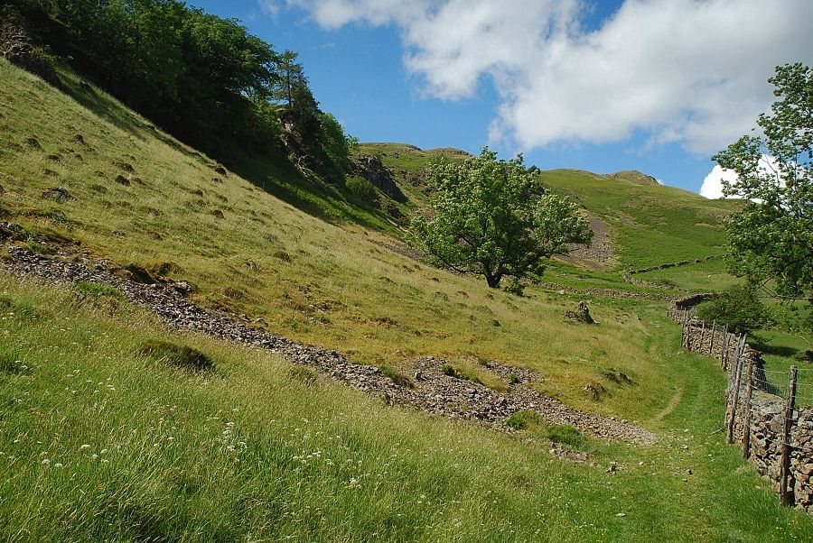 |
| The summit ridge from the bridleway |
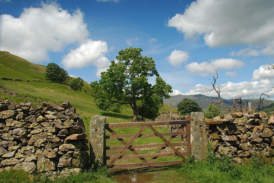 |
| Blencathra from the highest point on the bridleway |
 |
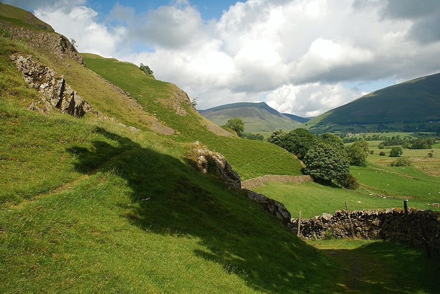
| Looking back to White Side and Helvellyn |
 |
| Lonscale Fell from the bridleway |
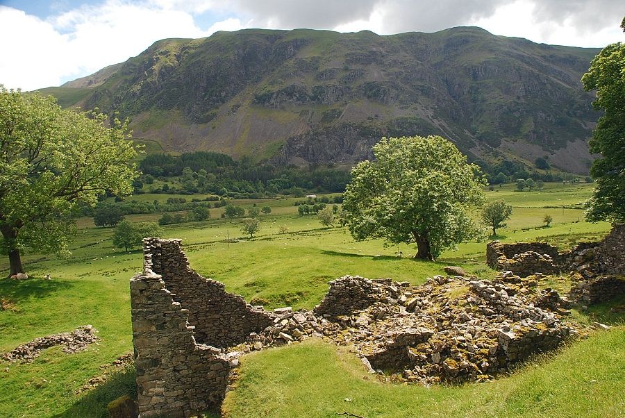 |
| Wanthwaite Crag and Bram Crag from the ruins of Rake How |
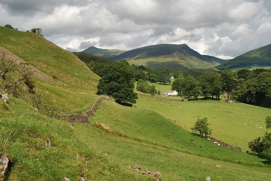 |
| Skiddaw Little Man and Lonscale Fell from Rake How |
 |
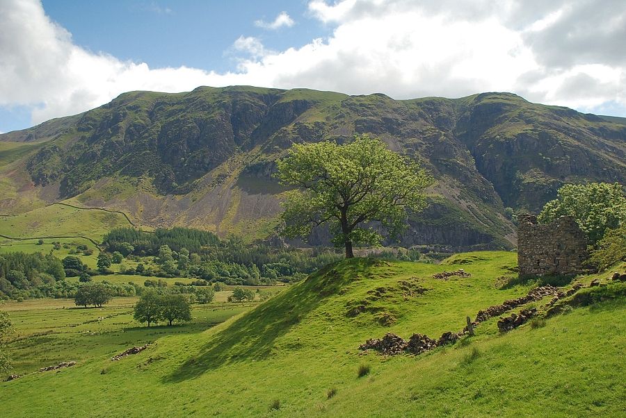
| Blencathra from Rake How |
 |
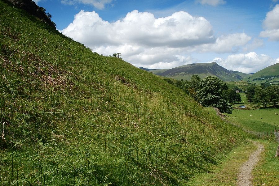
| Looking back to Rake How |
 |
| Continuing on along the bridleway beyond Rake How |
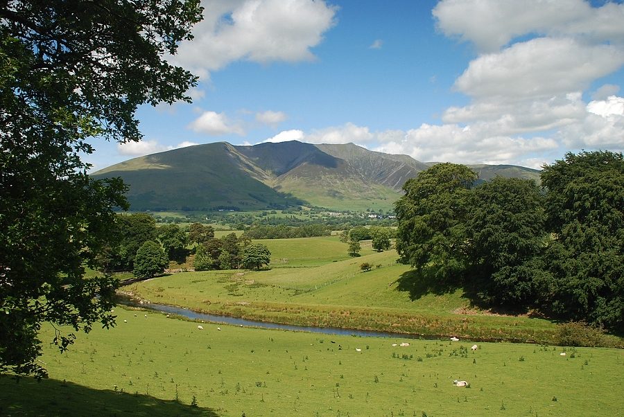 |
| Blencathra and St. John's Beck |
 |
| The bridleway ends at a gate below St John's Hause |
 |
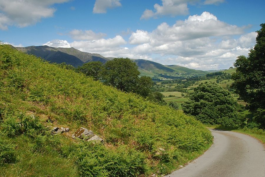
| Looking back to Clough Head from the gate below St. John's Hause |
 |
| Blencathra from the road below St. John's Hause |
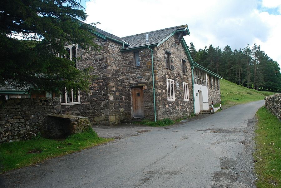 |
| The Carlisle Diocese Youth Centre on St. John's Hause. The surfaced road ends at a gate a short distance beyond the Youth Centre |
 |
| Looking back to the Youth Centre from the gate |
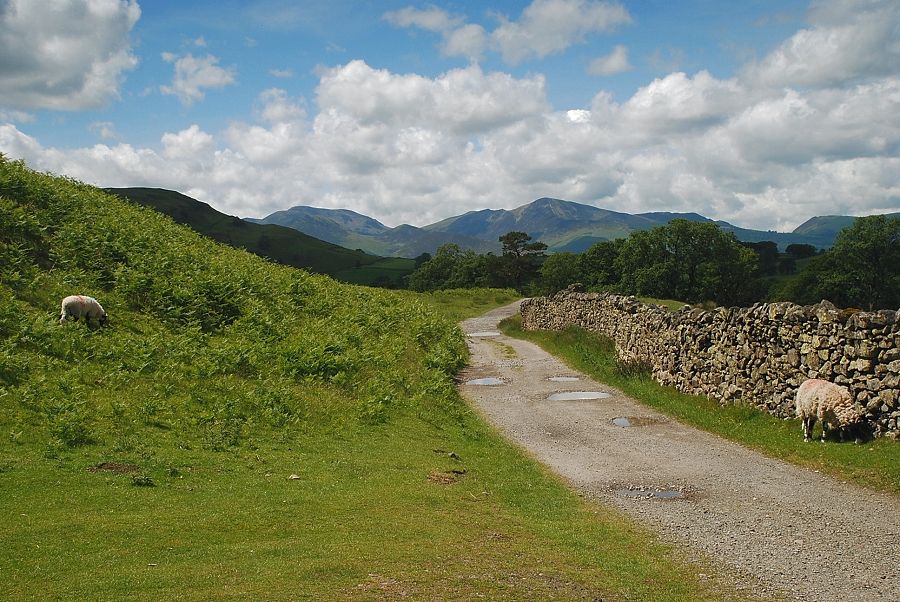 |
| From the gate on St. John's Hause the road continues on as a rough track which descends to Shaw Bank and Dale Bottom |
 |
| A wide path leads up from the hause to a level shoulder above a small stream |
 |
| Looking back from the start of the climb. Skiddaw and Lonscale Fell over Low Rigg with Great Calva on the right |
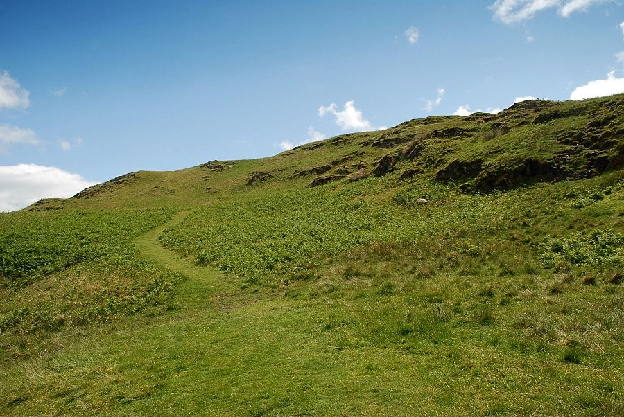 |
| From the level shoulder there is choice of paths to the summit. The one to the left is the clearest, higher up it joins another path which rises directly from the Diocese Youth Centre |
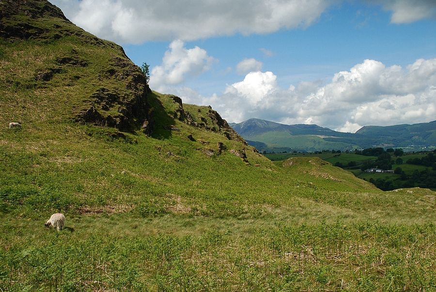 |
| Looking over to Grisedale Pike and Whinlatter from the level shoulder |
 |
| Blencathra from the level shoulder |
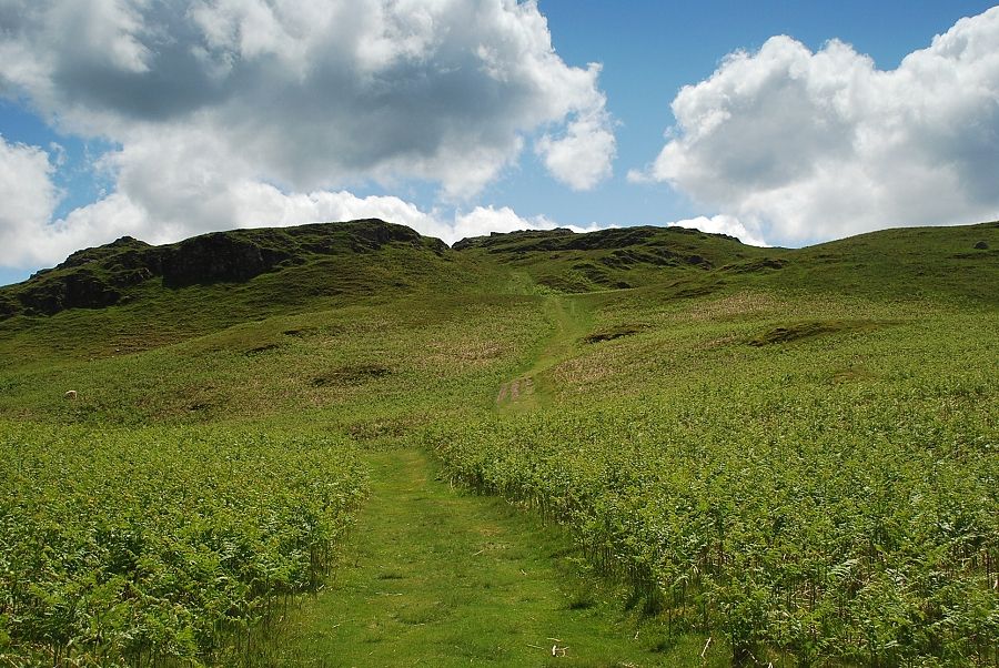 |
| The summit of High Rigg comes into view |
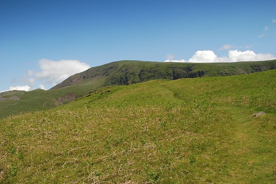 |
| Clough Head from the path to the summit |
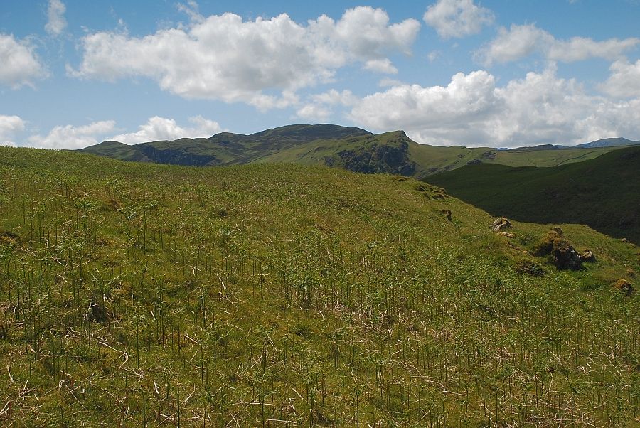 |
| Looking over to Bleaberry Fell |
 |
| Looking back to Eel Crag, Grisedale Pike and the Whinlatter fells |
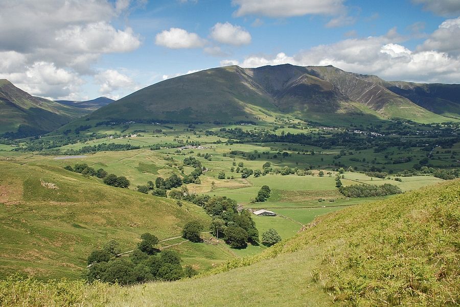 |
| Blencathra from the path to the summit |
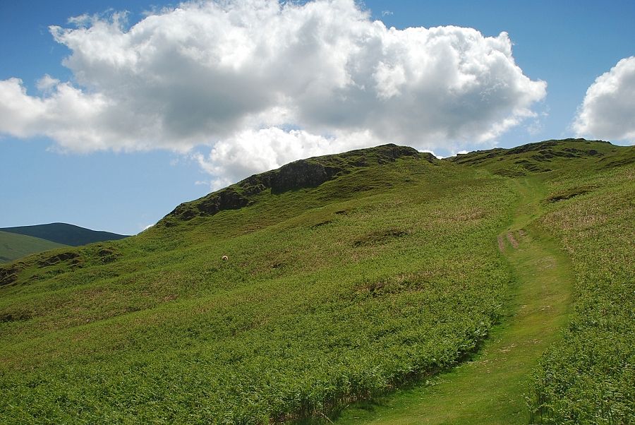 |
| The path climbs to a narrow col on the summit ridge |
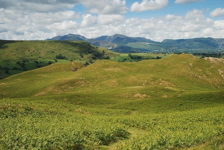 |
| Looking back to the North Western Fells on the horizon |
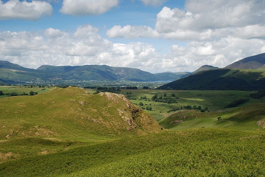 |
| A glimpse of Bassenthwaite Lake between the Whinlatter fells and Dodd and Latrigg |
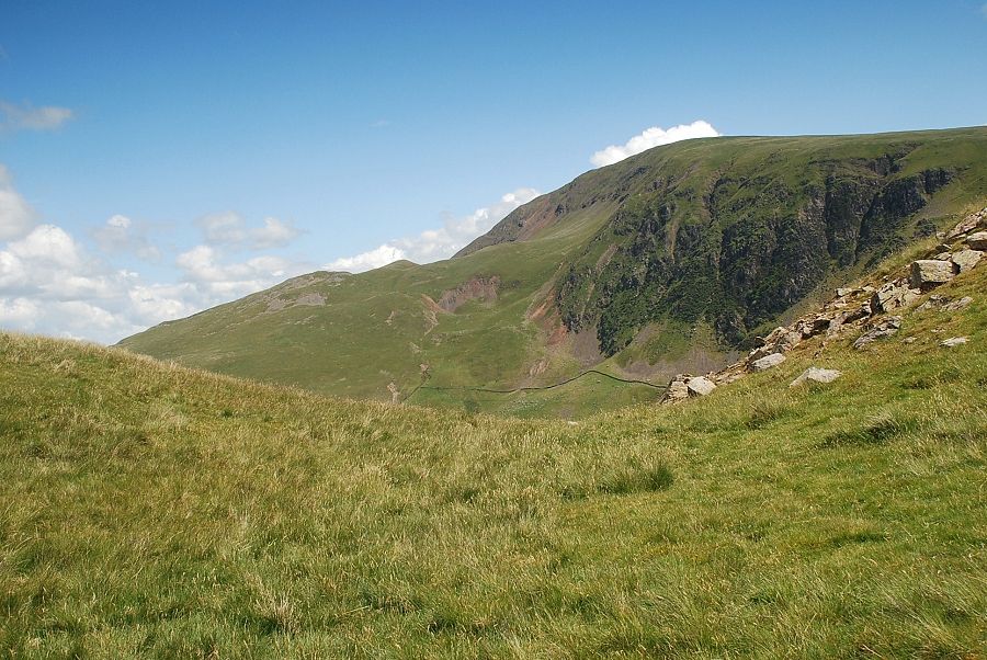 |
| Clough Head from the col below the summit of High Rigg |
 |
| Approaching the summit of High Rigg |
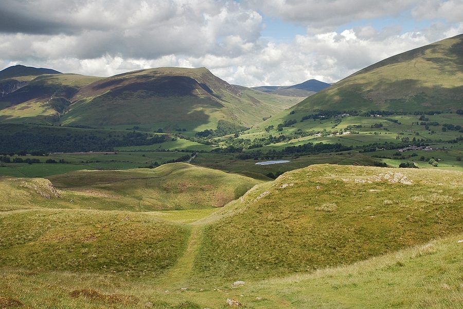 |
| Looking back from just below the summit to Tewit Tarn with Great Calva framed between Lonscale Fell and the slopes of Blease Fell |
 |
| Clough Head from the summit of High Rigg |
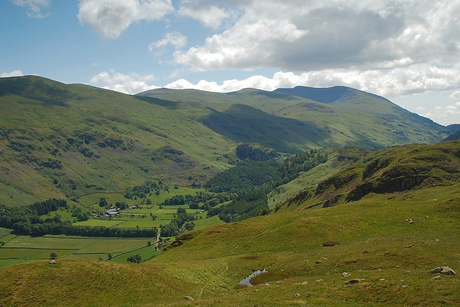 |
| Watson's Dodd, Raise, White Side and Helvellyn from the summit of High Rigg |
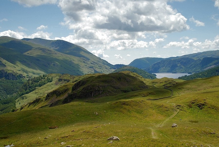 |
| Helvellyn and Thirlmere from the summit of High Rigg |
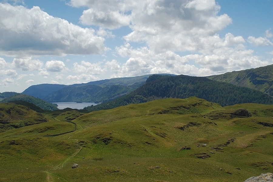 |
| Thirlmere and Raven Crag from the summit of High Rigg |
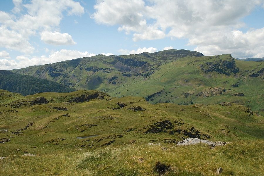 |
| High Seat and Bleaberry Fell from the summit of High Rigg |
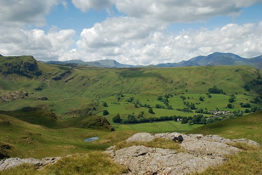 |
| Looking west to Hindscarth and Dale Head prominent on the left skyline with Wandope and Eel Crag on the right |
 |
| The North Western Fells from the summit of High Rigg |
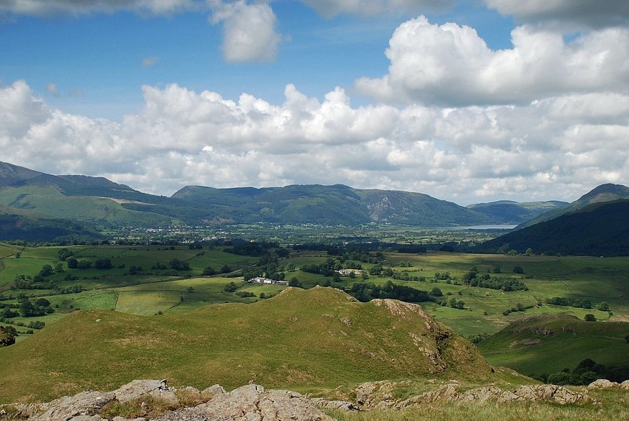 |
| Looking over to the Whinlatter Fells and Bassenthwaite Lake |
 |
| The Skiddaw group of fells from the summit of High Rigg |
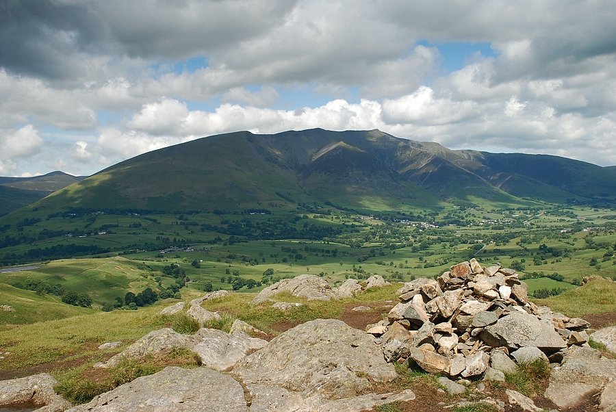 |
| Blencathra from the summit of High Rigg |


