
| High Rigg - Route One |
| Start - Smaithwaite Bridge NY 316 194 | Distance - 2 miles | Ascent - 920 feet | Time - 1 hour : 10 minutes |
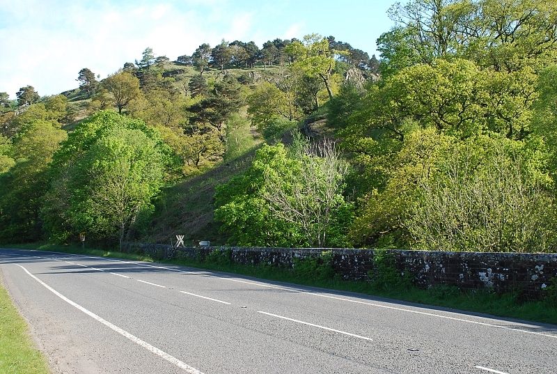 |
| A gate and ladder stile at the northern end of the road bridge over St John's Beck provides access to the fellside. There is roadside parking south of the bridge near the Legburthwaite-Thirlmere west side crossroads |
 |
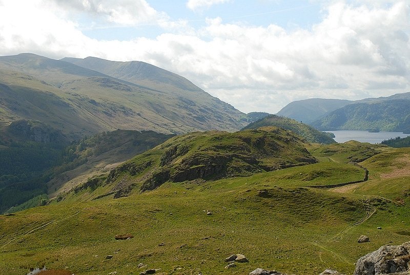
| Looking back down the valley from the lower slopes |
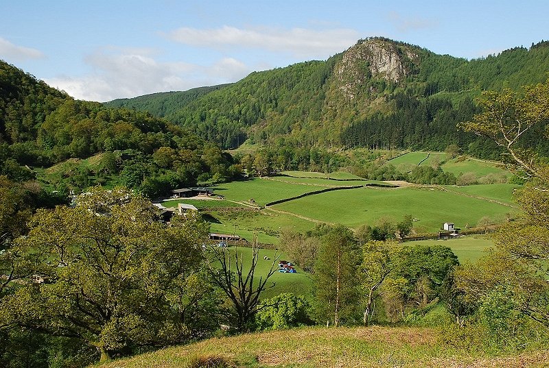 |
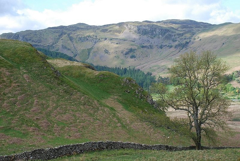
| From the same position across the pasture fields of Smaithwaite to Raven Crag |
 |
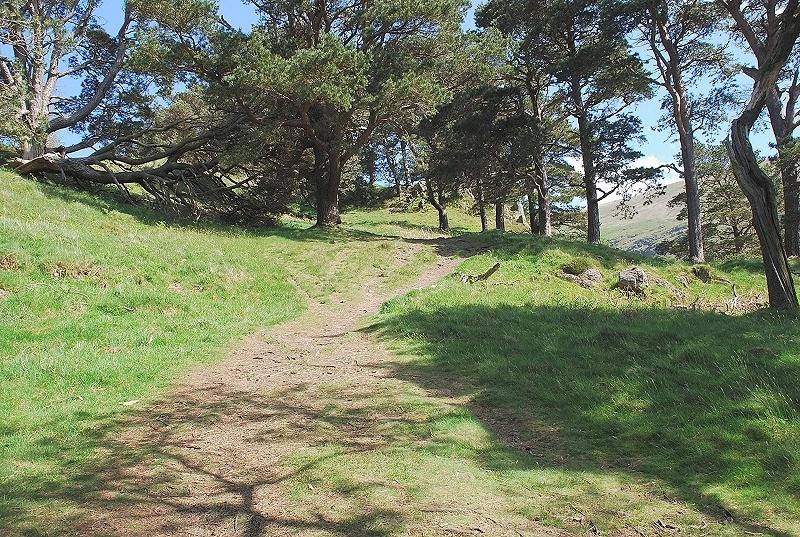
| The path leads on towards Wren Crag through mature oak and scots pine trees |
 |
| The path through the trees on the short ascent of Wren Crag |
 |
| The last of the pines as the top of Wren Crag comes into view |
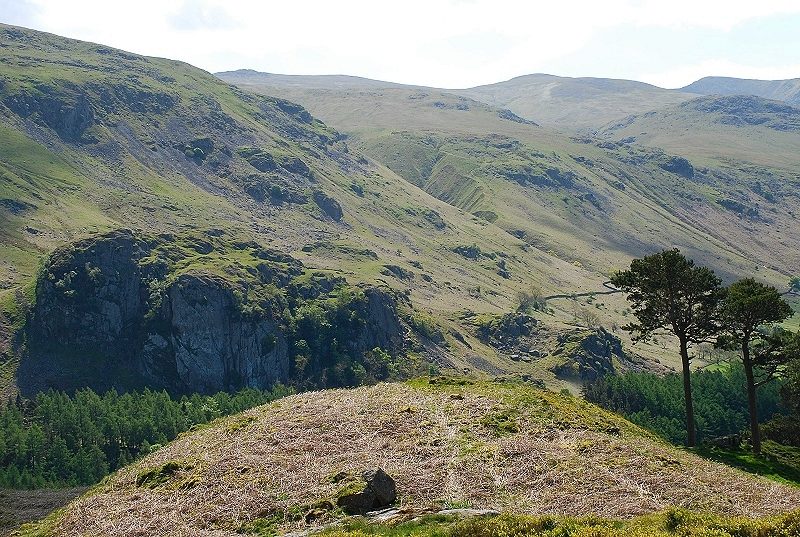 |
| The top of Wren Crag is a wonderful viewpoint and a place to linger. Castle Rock is viewed across St. John's in the Vale with the summits of Raise,White Side and Helvellyn Lower Man on the skyline |
 |
| Raven Crag above the foot of Thirlmere |
 |
| Looking north west along the ridge to Skiddaw |
 |
| Blencathra from the narrow col between Wren Crag and Long Band |
 |
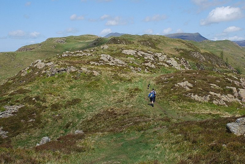
| The path continues on along the narrower top of Long Band |
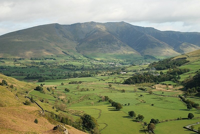 |
| The view from Long Band along St. John's in the Vale to Blencathra |
 |
| The path over Long Band |
 |
| The path veers left to cross a fence stile then follows the fence to regain the ridge line. At the next col it joins the more popular path on the left which takes a slightly longer route |
 |
| Looking back after crossing the stile to Long Band and the top of Wren Crag |
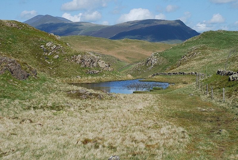 |
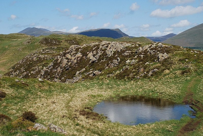
| The advantage of using the path alongside the fence is that you pass this small tarn which makes a nice foreground for the view to Skiddaw and Lonscale Fell |
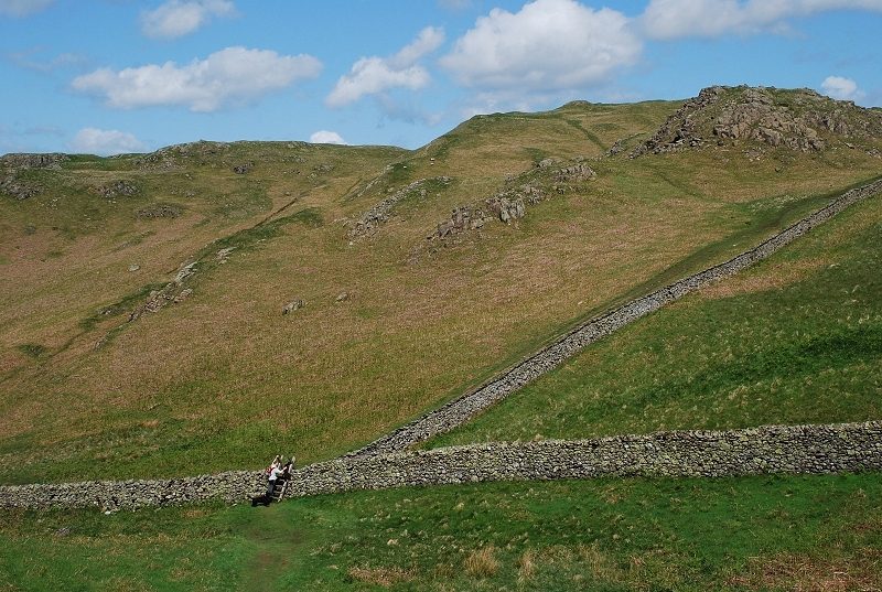 |
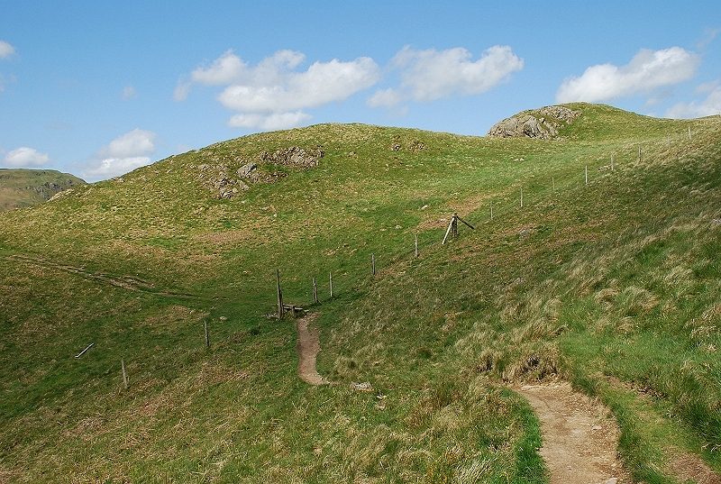
| Beyond the tarn the path drops down to a wall stile where it rejoins the regular path |
 |
| Looking left after crossing the stile to High Seat and Bleaberry Fell |
 |
| Looking back from above the stile the two paths can be seen converging. The path on the left descends from the tarn |
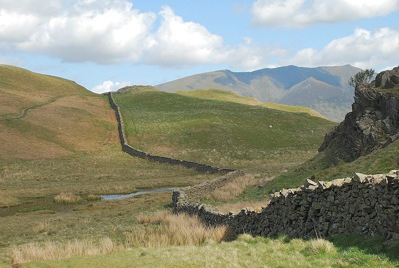 |
| After a steep climb by the wall the path again drops and meets Paper Moss. The path crosses this boggy area on the left by stepping stones over its sluggish outflow to make the final climb to the summit, from here seen at the end of the wall |
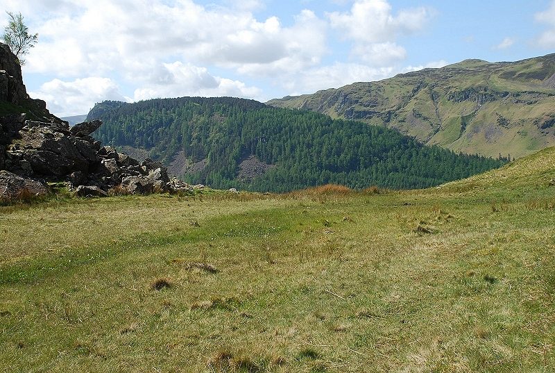 |
| Looking across Paper Moss to High Seat with the wooded Benn Man and Raven Crag in the middle distance |
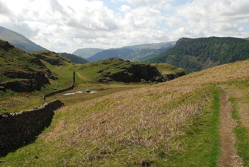 |
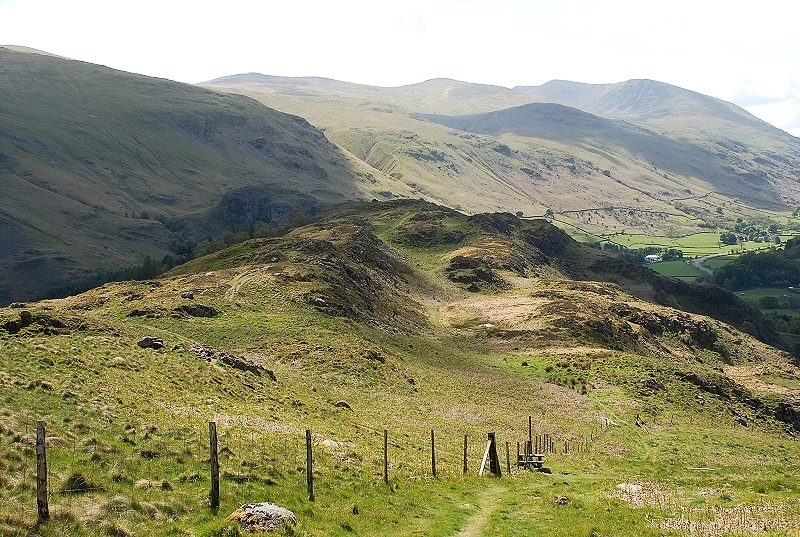
| Looking back along the ridge from the path above Paper Moss |
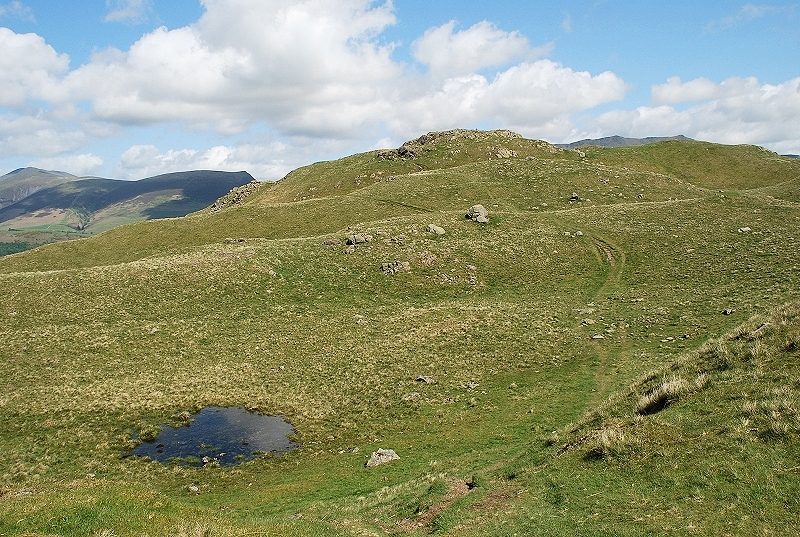 |
| Approaching the summit of High Rigg |
 |
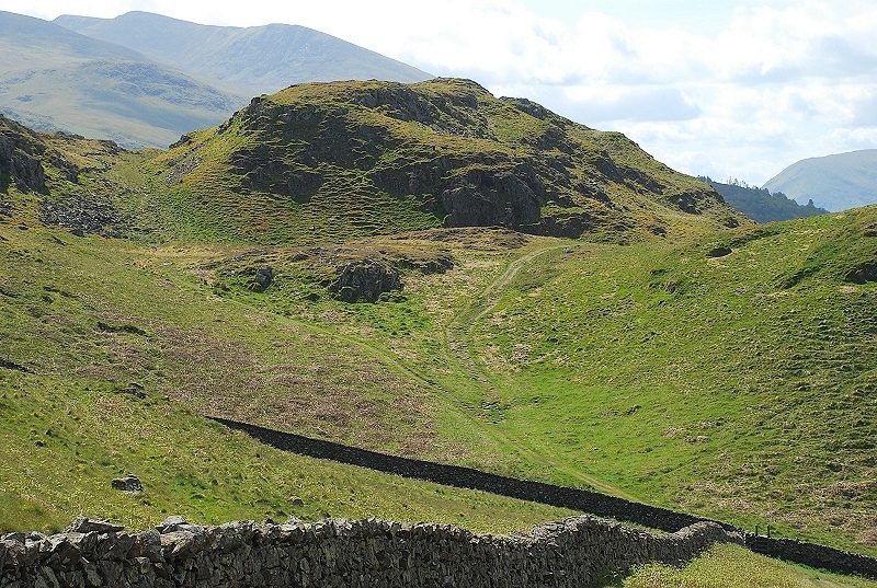
| The rocky knoll which is the highest point. AW's summit sketch shows a small cairn balanced on its right end, not surprisingly it has disappeared and a much larger cairn has been built a few yards to the east on flatter ground High Rigg - page 3 |
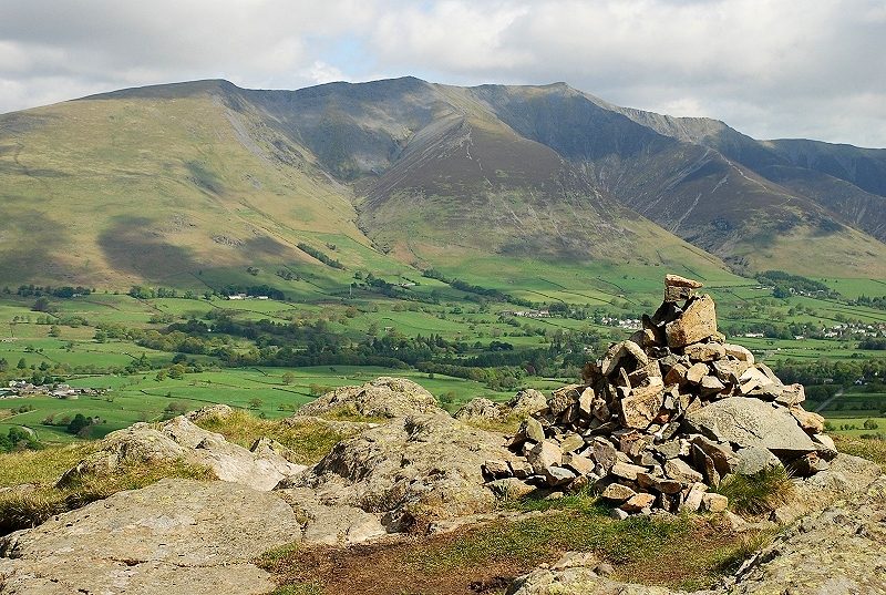 |
| The new cairn backed by Blencathra. The view from the summit is out of all proportion to the slight effort required to reach it |
 |
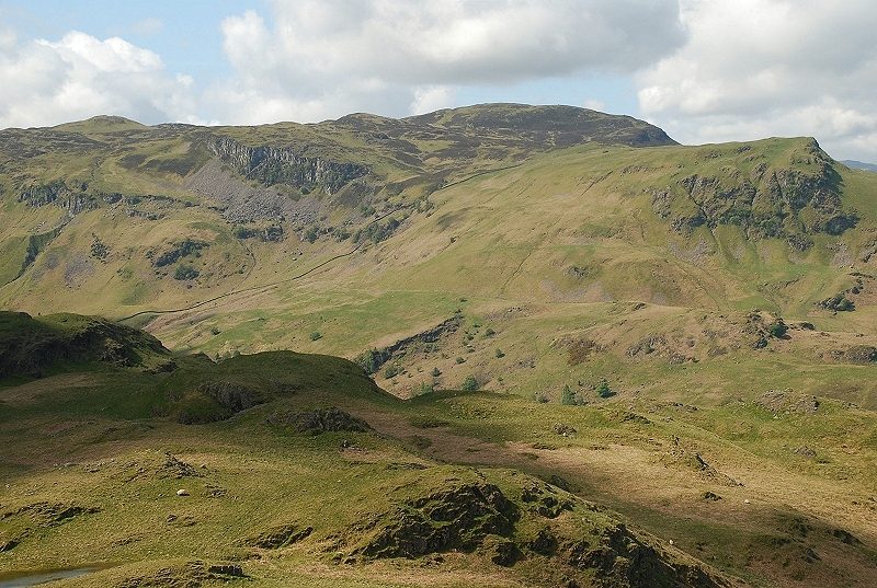
| Looking south to Thirlmere with sunlit Fisher Crag above it, Raven Crag to the right and Ullscarf on the horizon above it |
 |
| High Seat and Bleaberry Fell with Goat Crag between them and the sharp prow of Dodd Crag on the right |
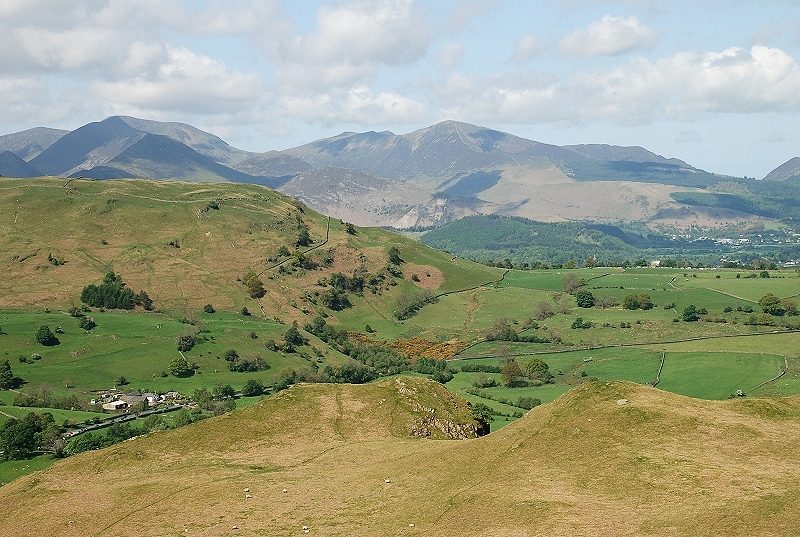 |
| The North Western Fells, Wandope, Eel Crag, Hopegill Head and Grisedale Pike are the highest peaks on the horizon |
 |
| Whinlatter fell and Lord's Seat above the Thornthwaite Forest with Sale Fell on the right over Bassenthwaite Lake |
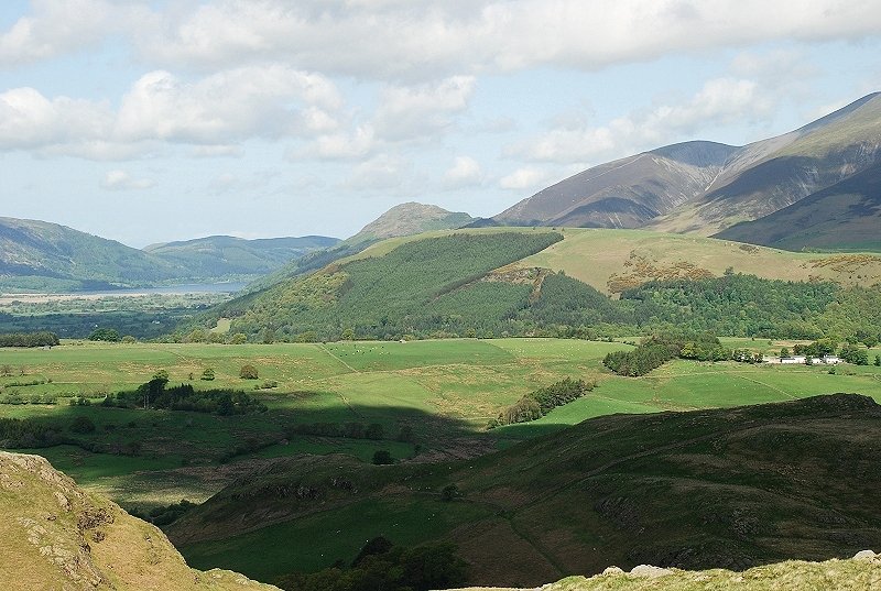 |
| Latrigg backed by Dodd, its summit now de-forested. Carl Side and the steep slope leading up to Skiddaw on the right |
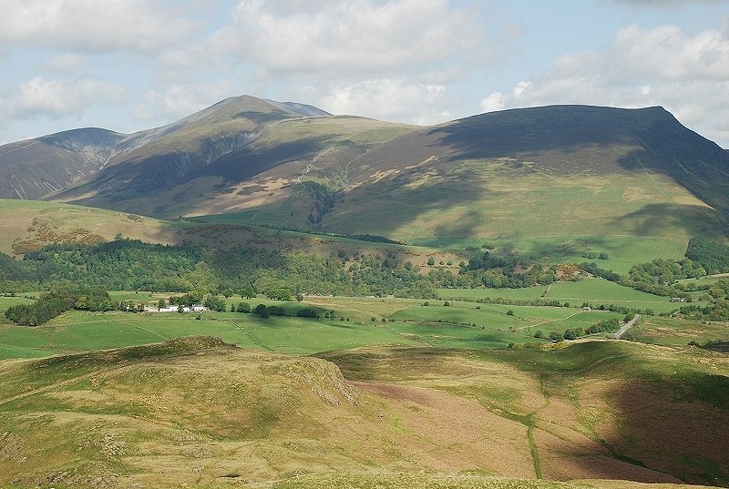 |
| The Skiddaw group |
 |
| Clough Head across St.John's in the Vale |
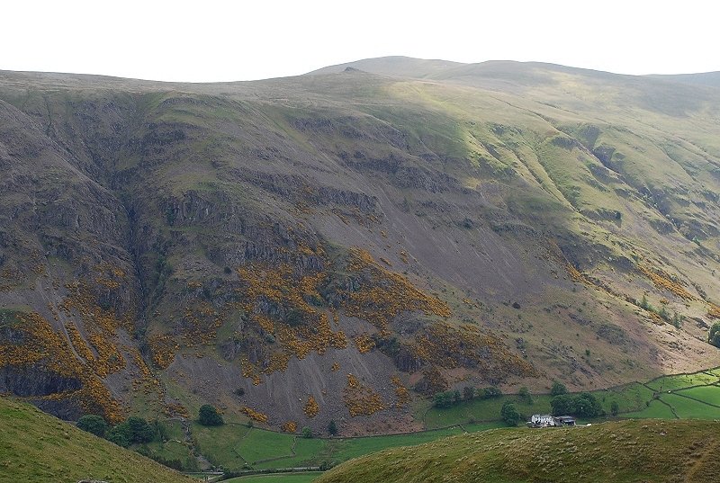 |
| The deep chasm of Sandbed Gill, Great Dodd on the skyline above the rock tor of Calfhow Pike |
 |
| The Helvellyn Dodds |
 |
|
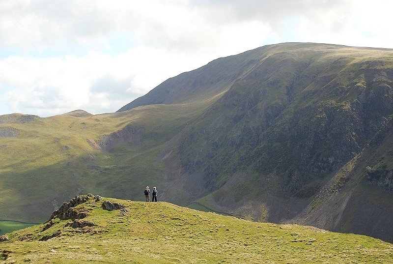
Looking back to the route along the ridge with White Side and Helvellyn on the left skyline |
|