
| High Hartsop Dodd - Route One |
| Start - Cow Bridge NY 402 134 | Distance - 2 miles | Ascent - 1,275 feet | Time - 1 hour : 25 minutes |
 |
| The small National Trust car park at Cow Bridge is the starting point for this walk |
 |
| A level track below Low Wood leads south alongside the side of Brothers Water |
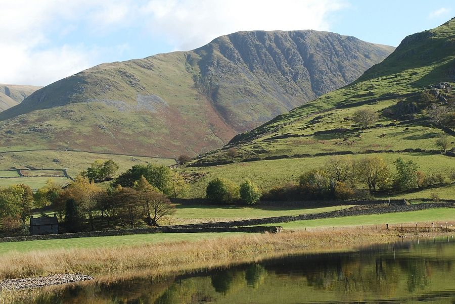 |
| Looking across to Gray Crag from the track |
 |
| The track below Low Wood |
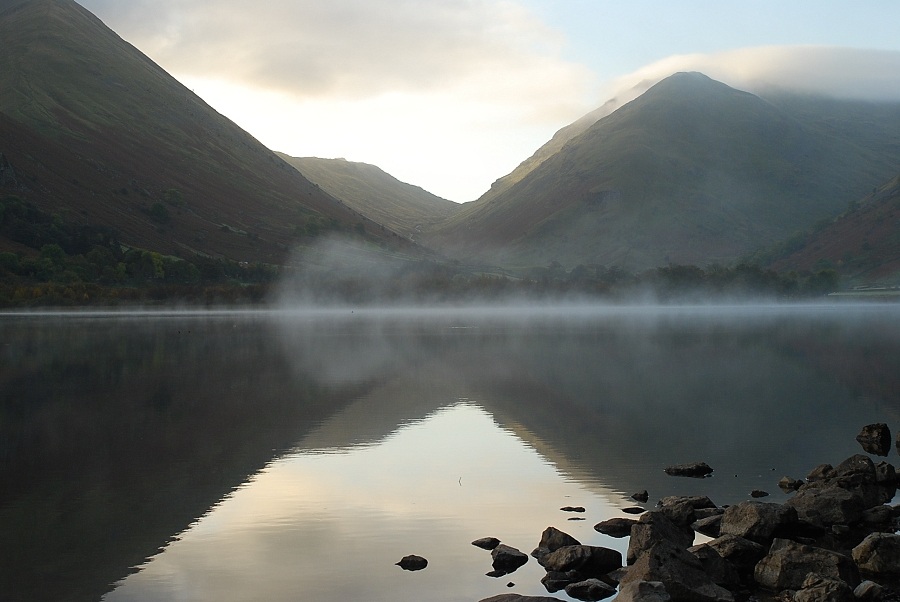 |
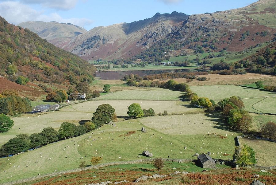
| Looking across Brothers Water to Kirkstone Pass |
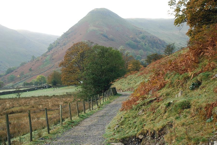 |
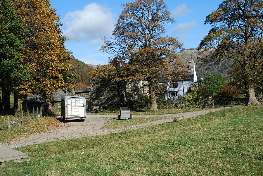
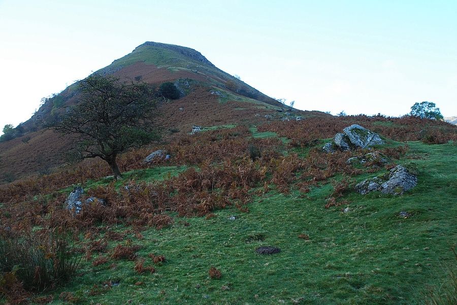
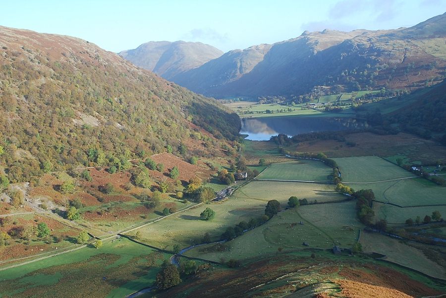
| High Hartsop Dodd comes into view as the track nears Hartsop Hall |
 |
| Hartsop Hall |
 |
| Passing the Hall the path crosses a simple bridge, signposted "footpath to Kirkstone Pass and Scandale Pass" It enters the pastures via a wall gate and heads directly towards the foot of the north ridge |
 |
| Looking back towards Hartsop Hall from the wall gate |
 |
| Near the end of the pasture several large boulders on the perimeter of an earthen embankment mark the site of an ancient settlement |
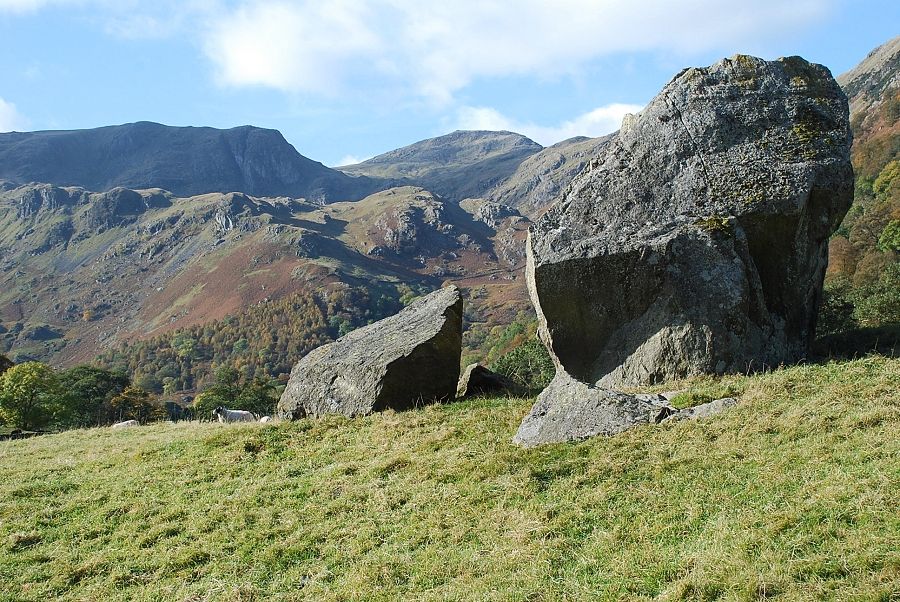 |
| Dove Crag and Hart Crag from the earthen embankment |
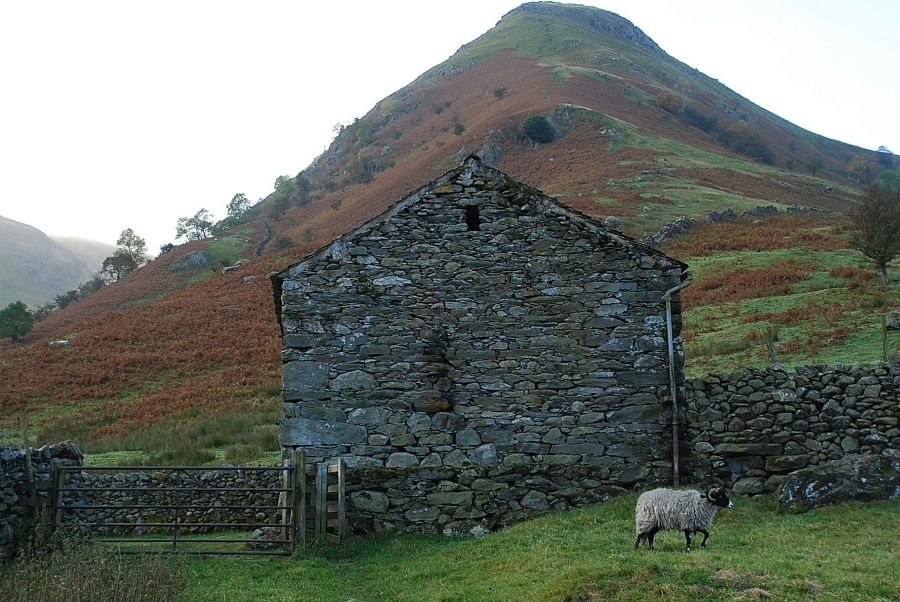 |
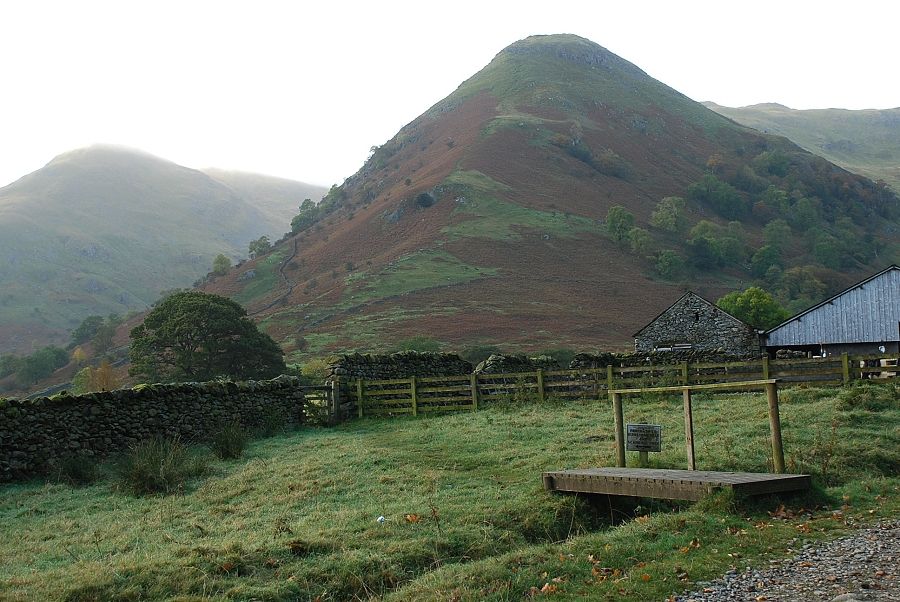
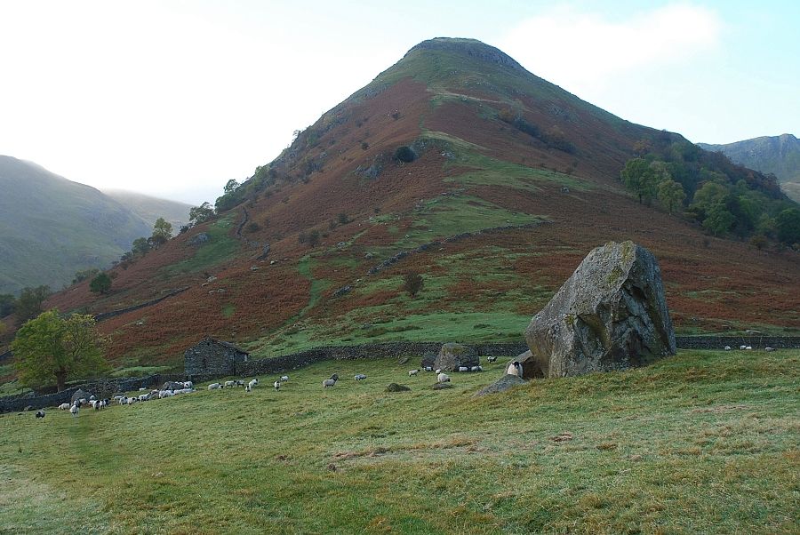
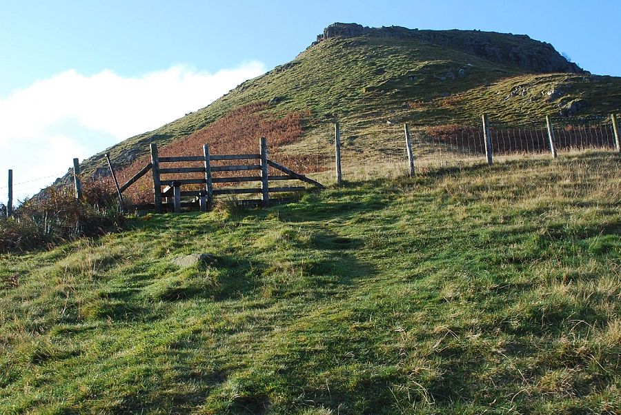
| Exit the pasture via a gate beside a barn. AW remarked on the symmetry between the pitch of its roof and the slopes of the dodd above it |
 |
| The ascent begins immediately above the barn |
 |
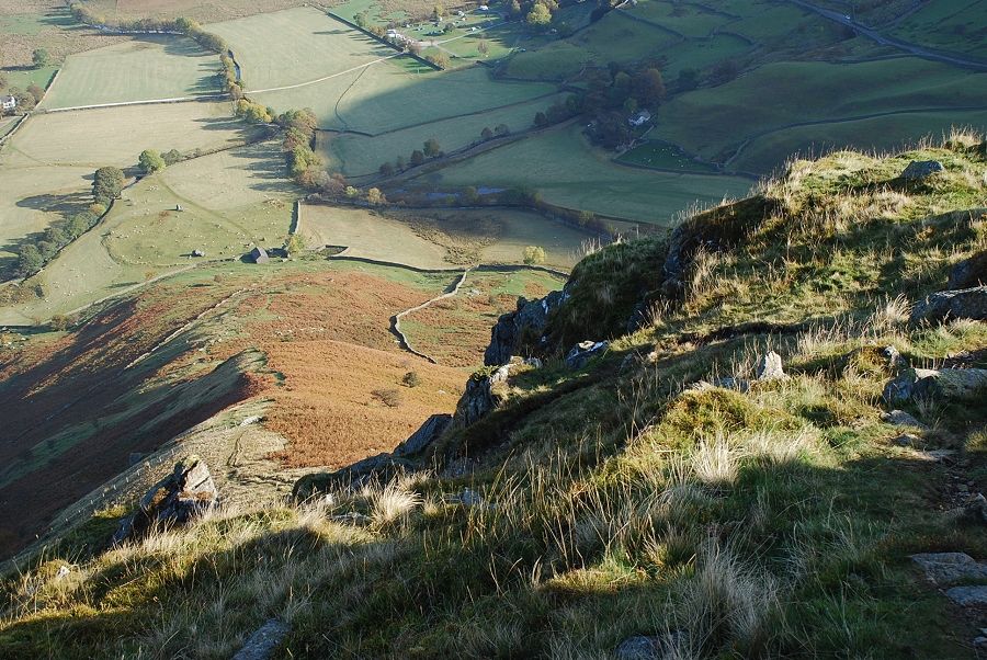
| Loooking back to Brothers Water from the lower slopes, note the earthworks of the ancient settlement to the left of the barn |
 |
| Halfway up the ridge a fence is crossed via a stile |
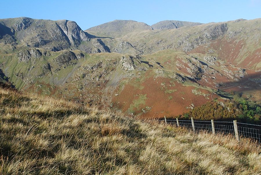 |
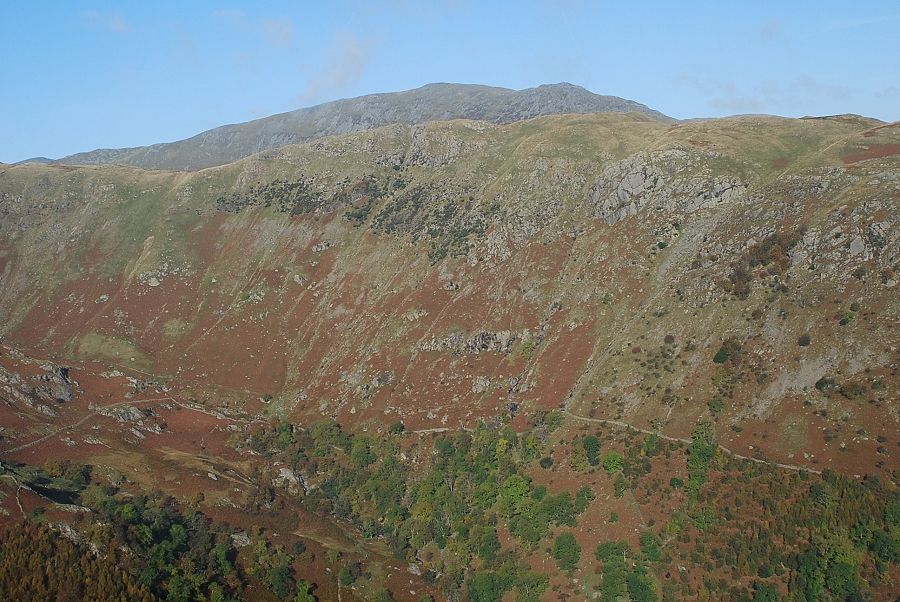
| Looking across to Dove Crag and Hart Crag from the fence |
 |
| Looking back to Brothers Water from the fence stile |
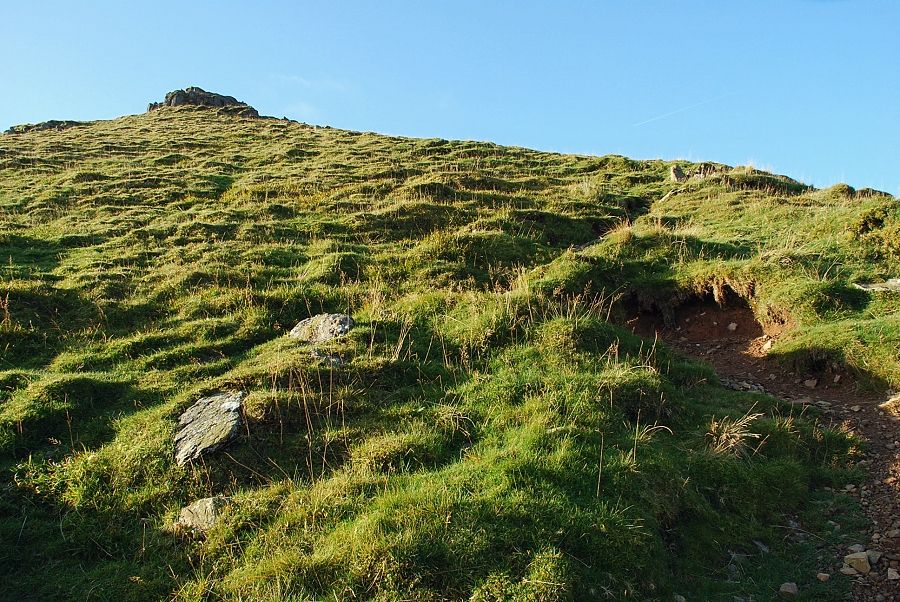 |
| Above the fence the ridge steepens as the path approaches a belt of crags |
 |
| Looking down the ridge from below the the crags |
 |
| St. Sunday Crag appears over the ridge of Hartsop-above-How |
 |
| Looking down the ridge from the top of the crags, these have been easily turned on their right edge |
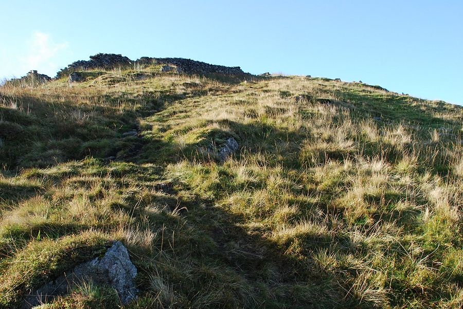 |
| Above the crags a ruined wall crosses the ridge which marks the end of the steepest part of the ascent |
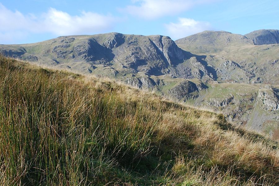 |
| Looking across to Dove Crag from the slope below the wall |
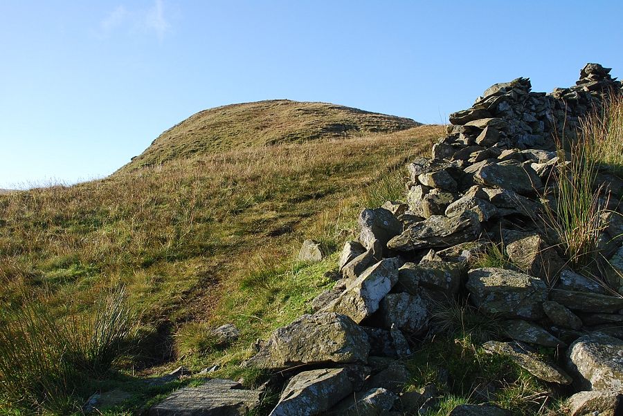 |
| Crossing the wall and the final rise to the summit comes into view |
 |
| Looking down the ridge from the ruined wall |
 |
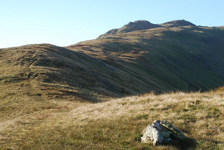
| A few stones gathered together mark the summit |
 |
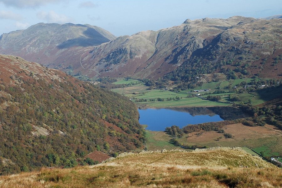
| Brothers Water from just below the summit |
 |
| Looking along the connecting ridge to Little Hart Crag |
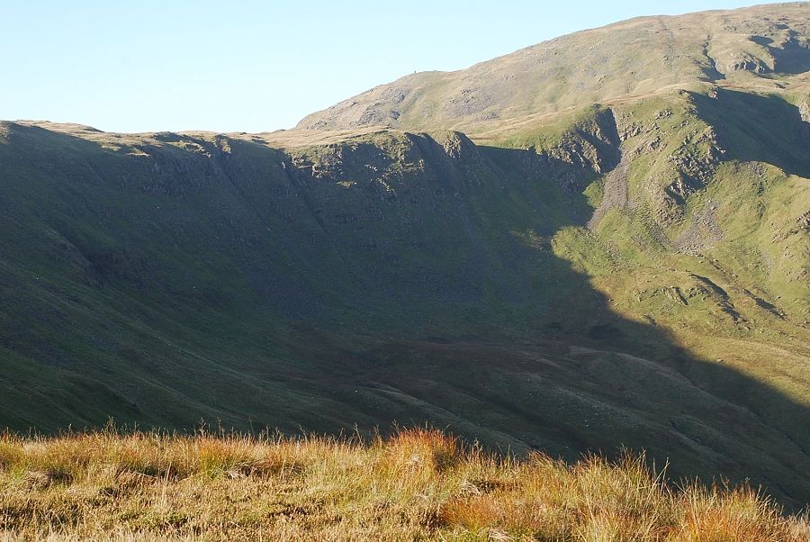 |
| Looking across the crags of Black Brow to the tall cairn on High Bakestones |
 |
| Looking across the ridge of Stand Crags to Dove Crag and Hart Crag |
 |
| On the horizon from the left, Scrubby Crag on Fairfield and Dollywaggon Pike in the dip between Greenhow End and St. Sunday Crag |
 |
| St. Sunday Crag over Hartsop-above-How |
 |
| Place Fell and Angletarn Pikes |
 |
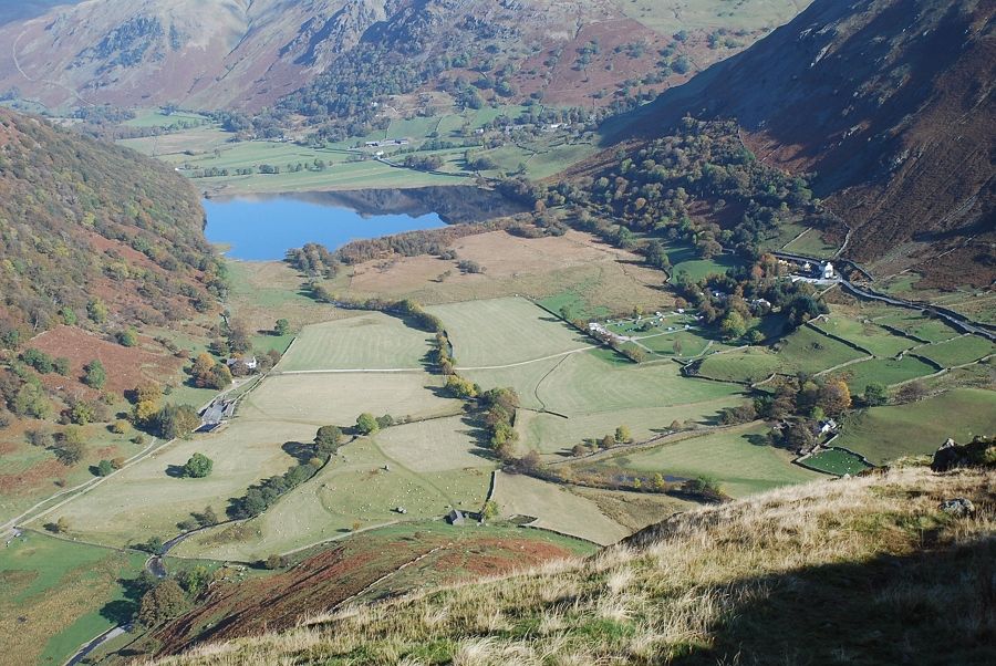
| Looking down to the Brotherswater Inn |
|