 |
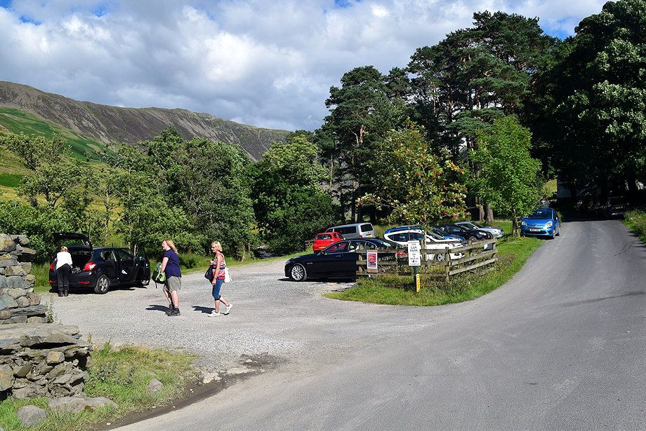
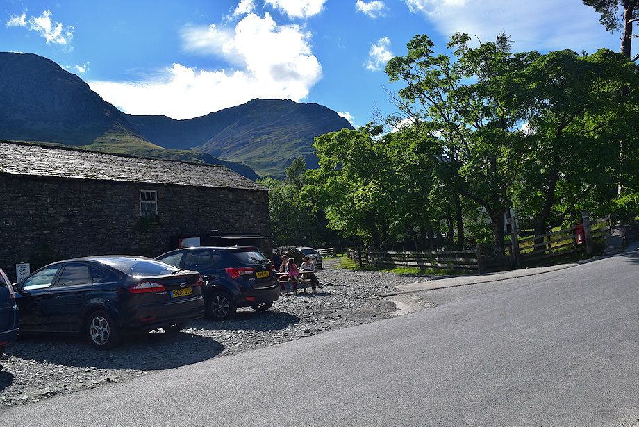
| The small car park at Gatescarth Farm is the starting point for this walk |
 |
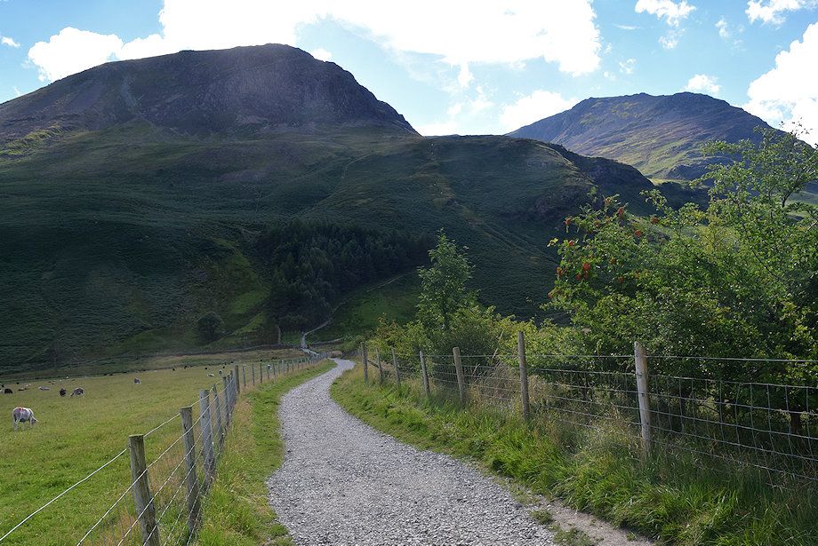
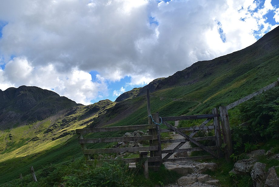
| Opposite the car park a gate and signpost beside the letter box indicates the route along a fenced lane |
 |
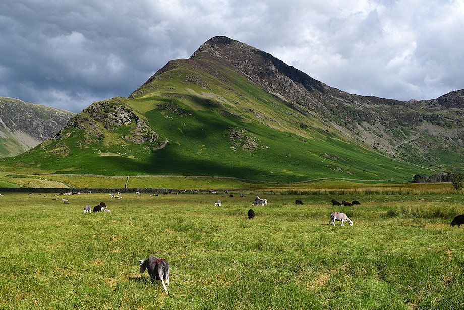
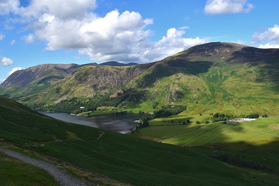
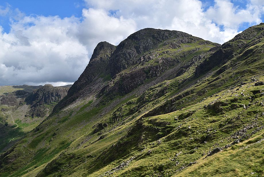
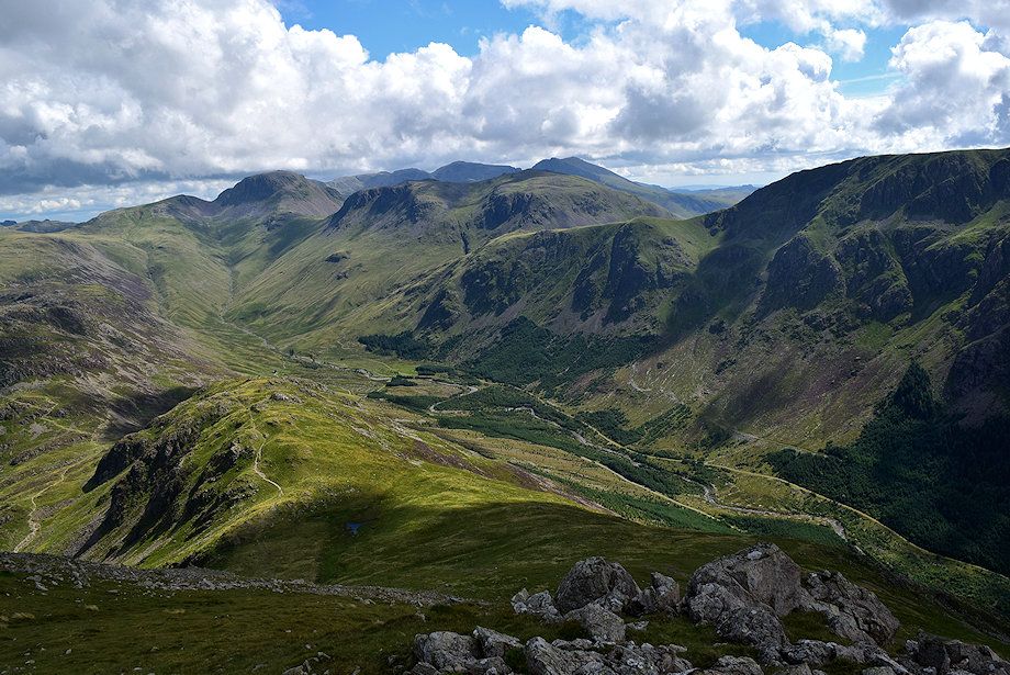
| High Crag and High Stile from the fenced lane which leads over Peggy's Bridge which spans Warnscale Beck |
 |
| Looking back to Gatescarth Farm from the fenced lane |
 |
| Looking over to Fleetwith Pike from the fenced lane |
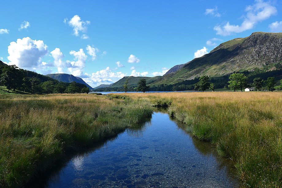 |
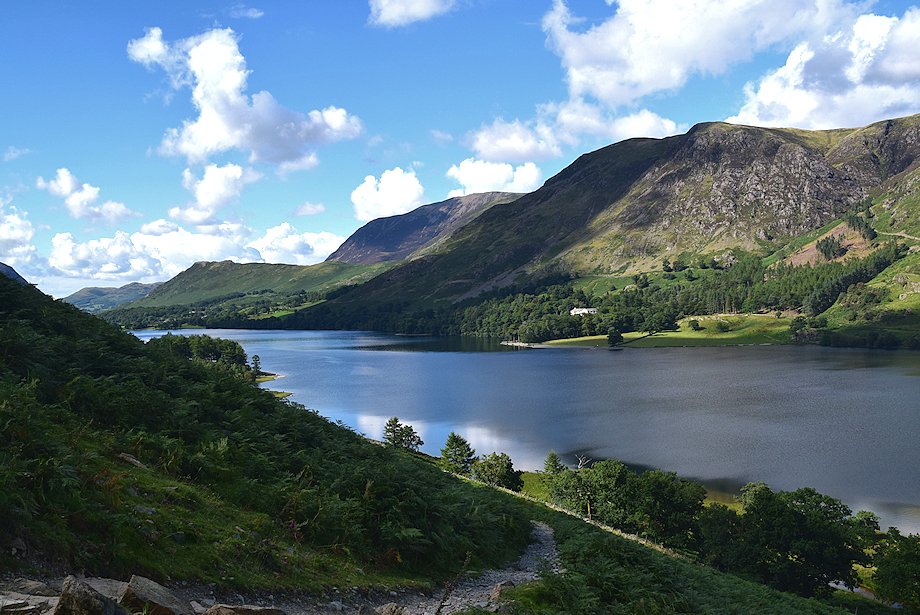
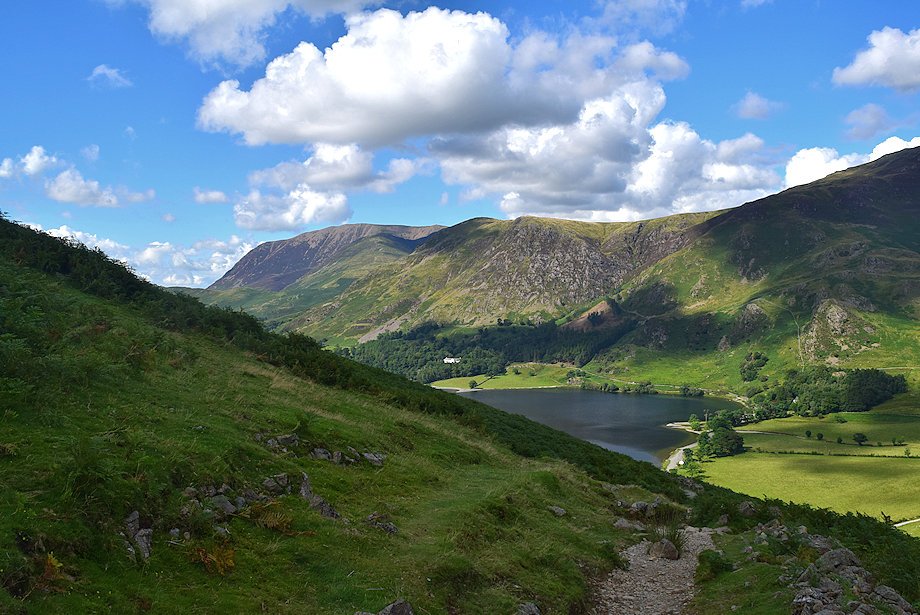
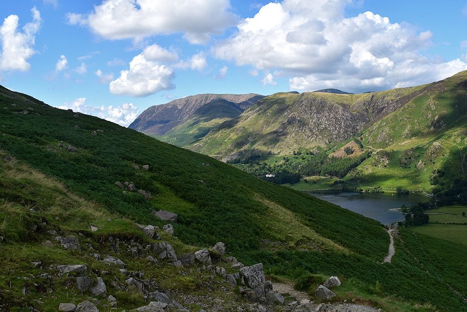
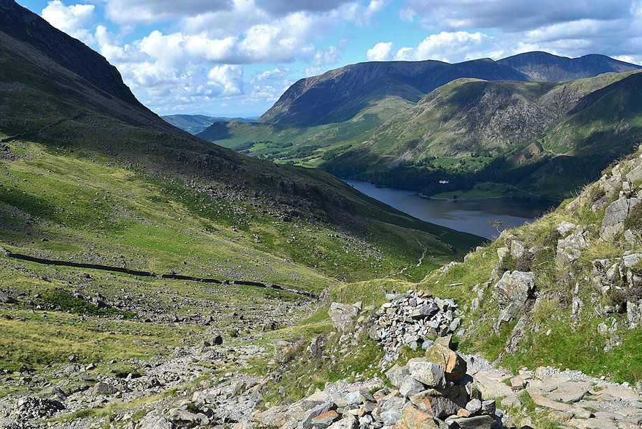
| Buttermere from Peggy's Bridge |
 |
| Haystacks from Peggy's Bridge |
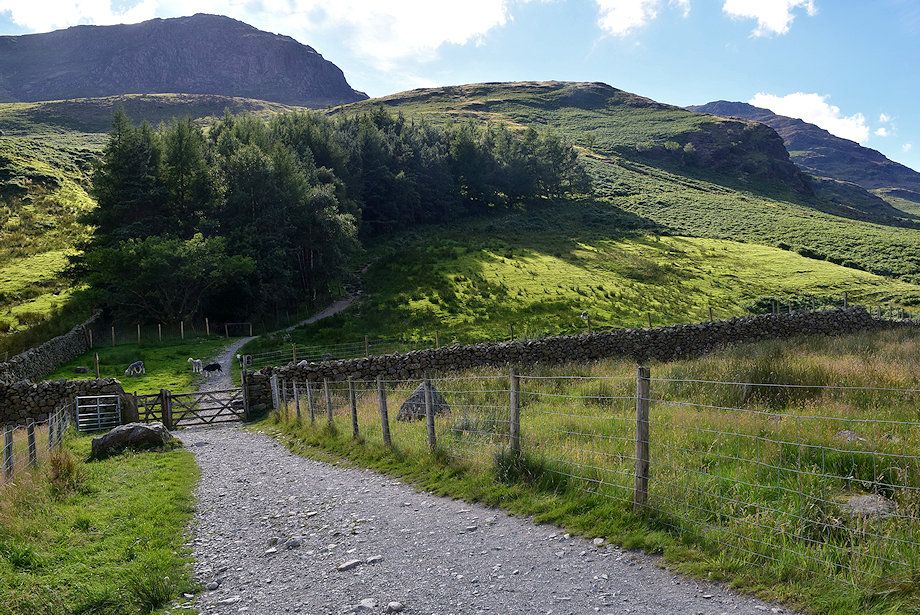 |
| Pass through a gate at the end of the lane and continue straight ahead on the bridleway path to Scarth Gap which loops around a small plantation |
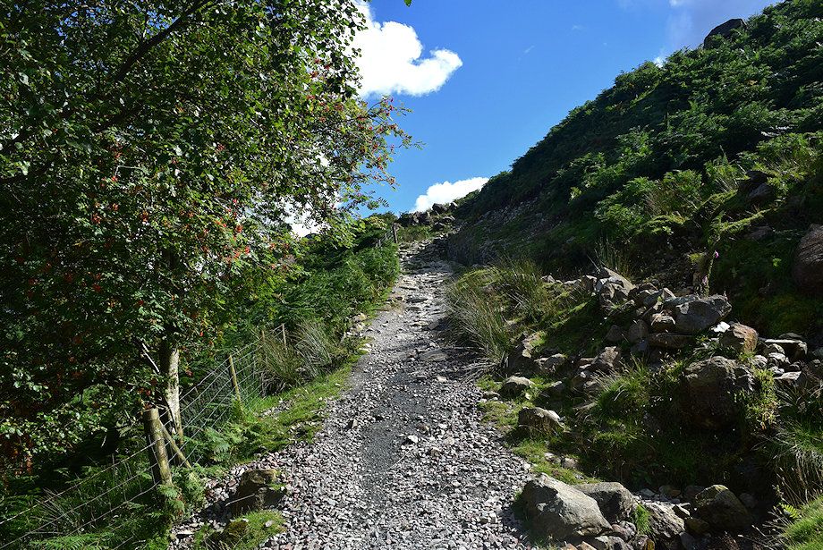 |
| The path above the plantation is the only steep part of the climb to Scarth Gap |
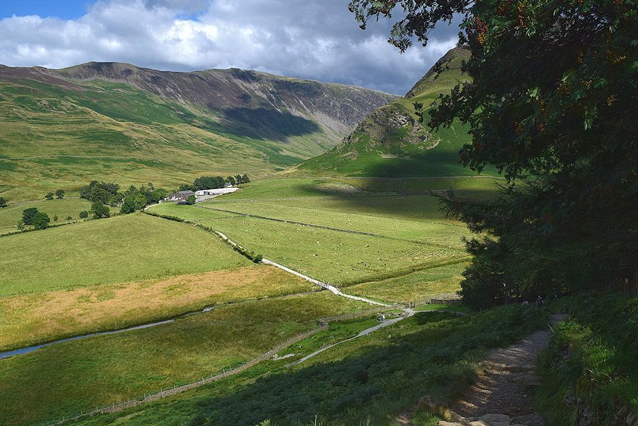 |
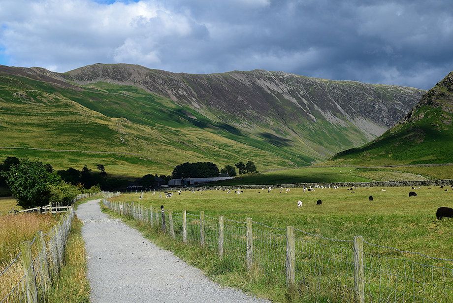
| Looking back to Gatescarth Farm |
 |
| Fleetwith Pike from the path above the plantation |
 |
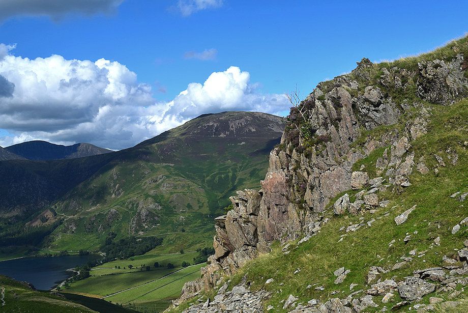
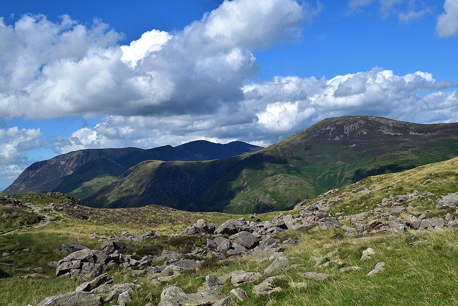
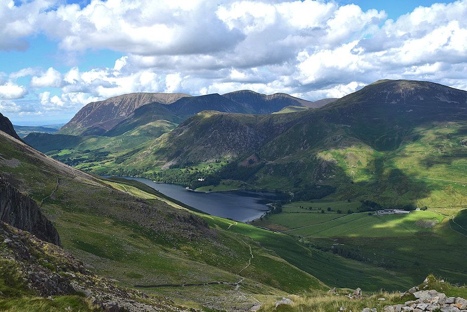
| Looking back, Low Pike, Rannerdale Knotts, Grasmoor and High Snockrigg across Buttermere |
 |
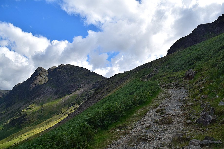
| Green Crag and Haystacks from the path to Scarth Gap |
 |
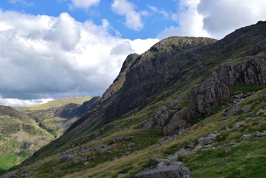
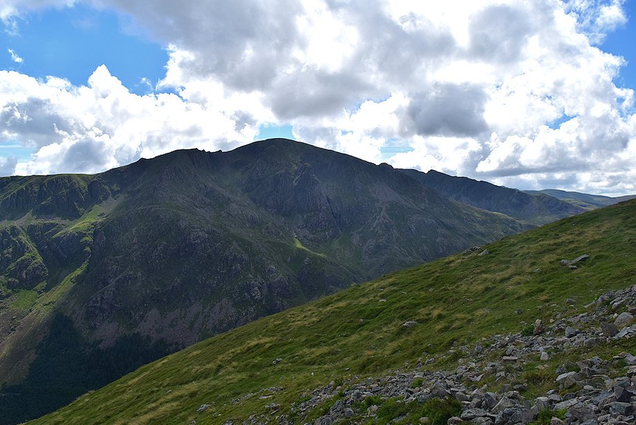
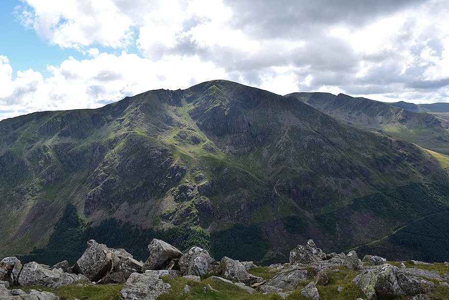
| Looking up to High Crag |
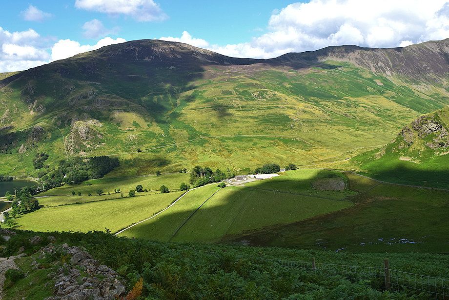 |
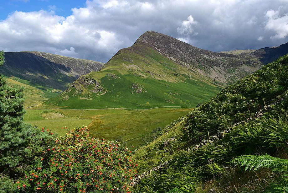
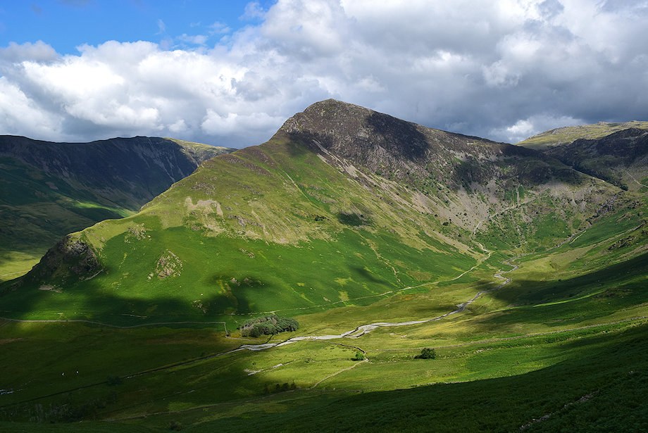
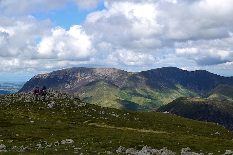
| Looking acoss the valley to Robinson above Gatescarth Farm |
 |
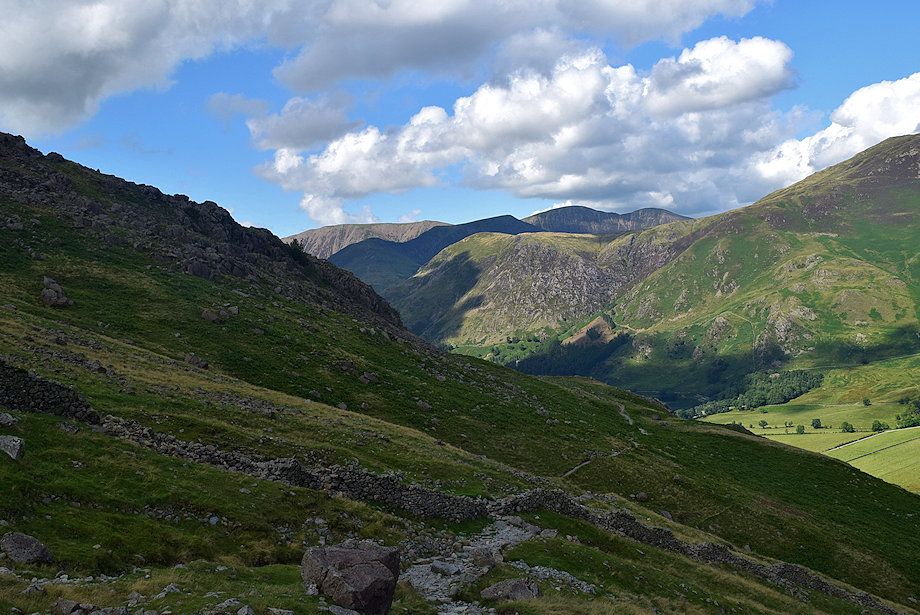
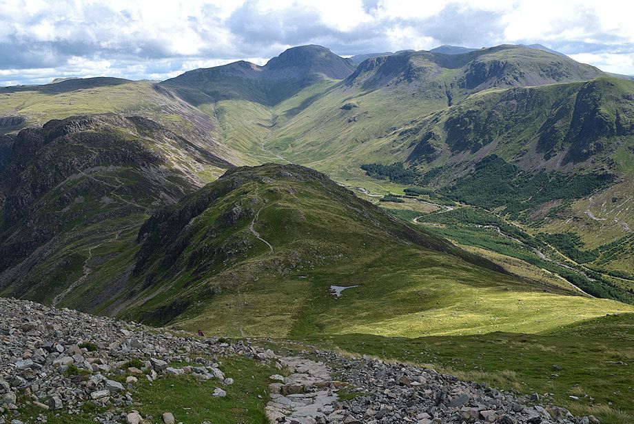
| Looking back to the Head of Buttermere |
 |
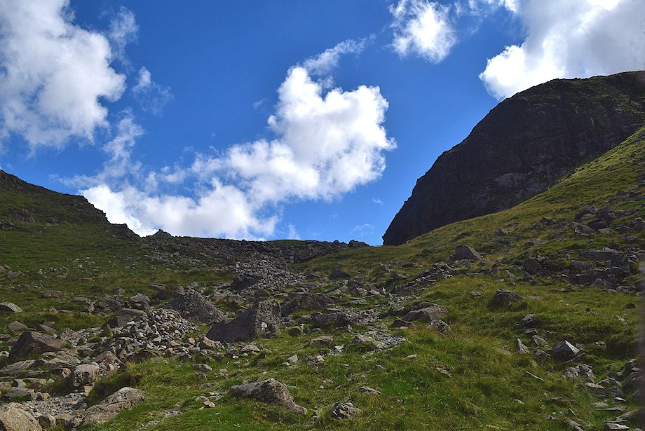
| Scarth Gap from the gate in the intake fence |
 |
| Fleetwith Pike and Warnscale Bottom from the gate in the intake fence |
 |
| Looking back, the summits of Wandope, Eel Crag and Sail are just visible over High Snockrigg and Buttermere Moss |
 |
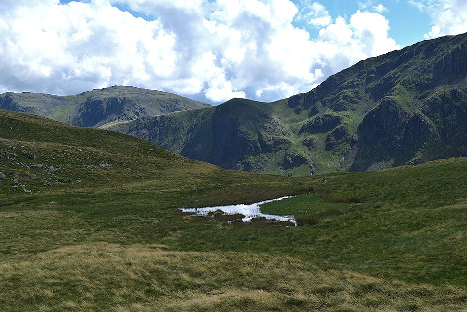
| The path climbs up to a shelf between Low Wax Knott and High Wax Knott which provides a fine viewpoint |
 |
| Buttermere from the shelf below High Wax Knott |
 |
| Fleetwith Pike from the shelf below High Wax Knott |
 |
| Scarth Gap from the shelf below High Wax Knott |
 |
| The path resumes the climb to Scarth Gap passing through a gap in a partially ruined wall |
 |
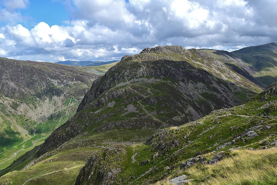
| The steep profile of Big Stack on Haystacks |
 |
| Beyond the ruined wall the path passes easily through an area of large boulders |
 |
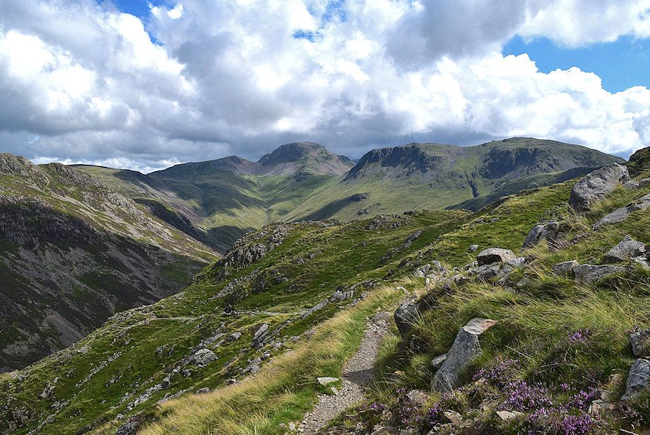
| The North Western Fells from above the ruined wall |
 |
| Looking across Fleetwith Edge to Dale Head |
 |
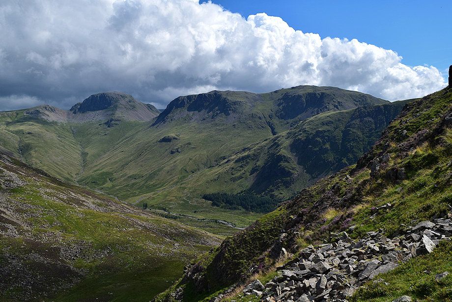
| Looking over to Grey Knotts above the head of Warnscale |
 |
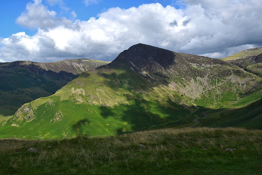
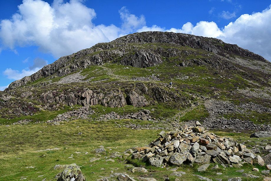
| Looking up to High Crag. When AW wote his Pictorial Guide he recommended walkers to follow the ruined wall up the foot of Gamlin End rather than the path from Scarth Gap over Seat which he considered too rough. But times have changed, the Seat path has been re-aligned and is much improved, this one has fallen from favour but is useful as a quick descent route back to Gatescarth |
 |
| Eel Crag, Sail and Robinson from the path to Scarth Gap |
 |
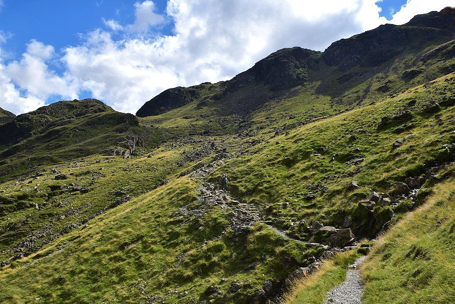
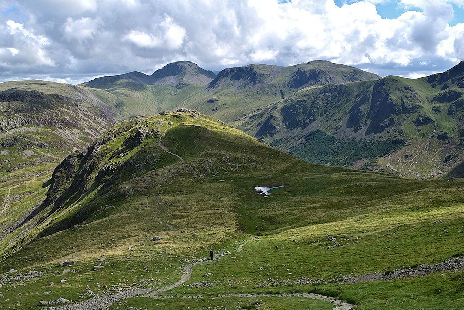
| Approaching Scarth Gap |
 |
| Looking back along the route of ascent |
 |
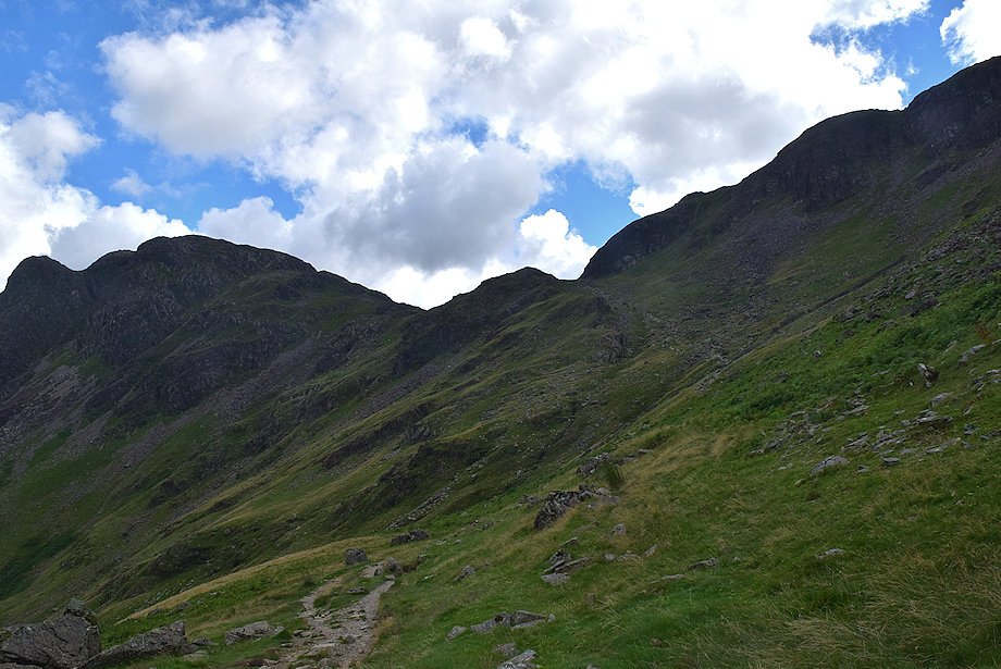
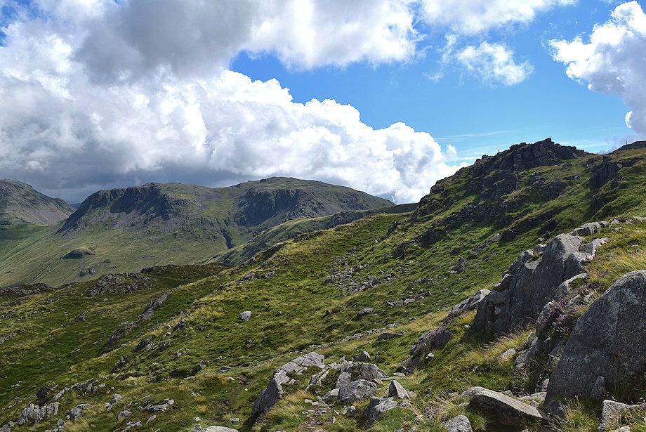
| Seat and High Crag from just below Scarth Gap |
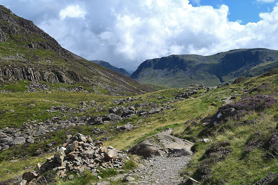 |
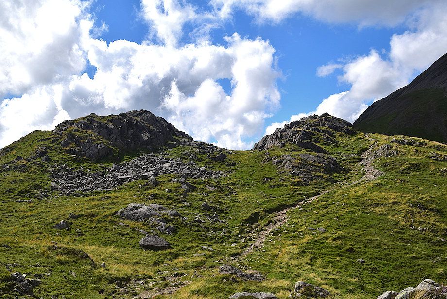
| Scarth Gap |
 |
| High Crag from Scarth Gap |
 |
| From left to right - Grasmoor, Wandope, Eel Crag, Sail and Robinson from Scarth Gap |
 |
| Haystacks from Scarth Gap |
 |
| Great Gable and Kirk Fell from Scarth Gap |
 |
| Pillar from Scarth Gap |
 |
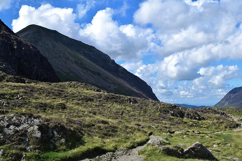
| Seat from Scarth Gap |
 |
| Great Gable and Kirk Fell from the start of the path to the summit of Seat |
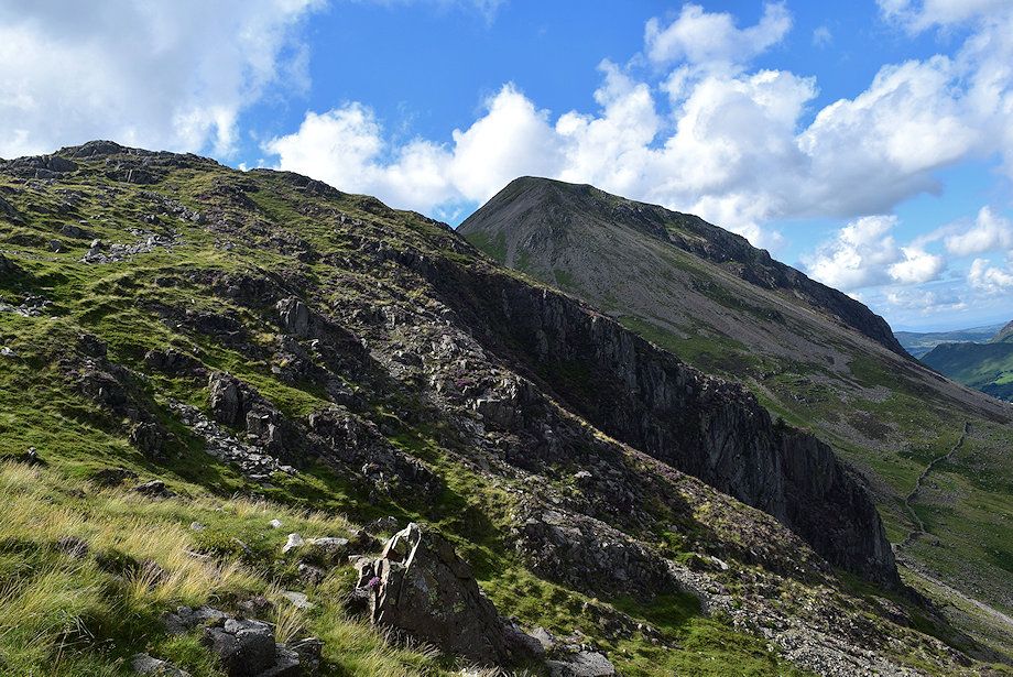 |
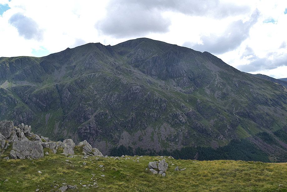
| High Crag from the path to the summit of Seat |
 |
| Looking back down to Scarth Gap |
 |
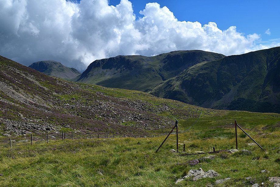
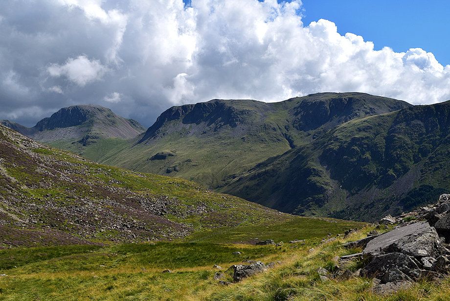
| The head of Ennerdale from the climb to the summit of Seat |
 |
| Buttermere from the climb to the summit of Seat |
 |
| Looking over to Kirk Fell |
 |
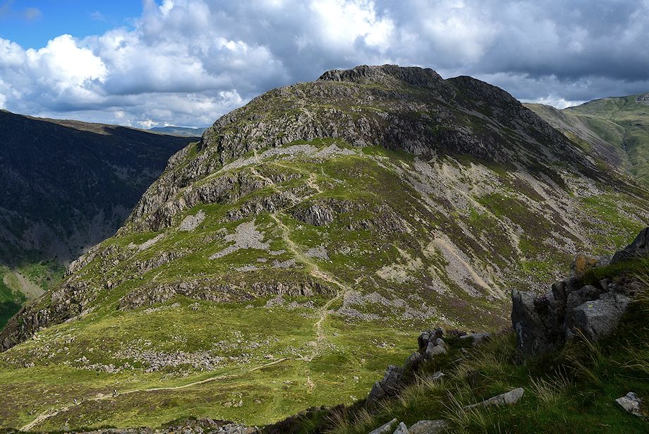
| Looking back to Haystacks |
 |
| Greeen Gable, Great Gable and Kirk Fell from just below the summit of Seat |
 |
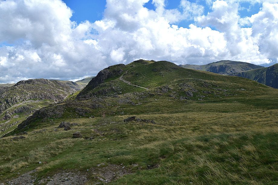
| The twin summit outcrops on Seat |
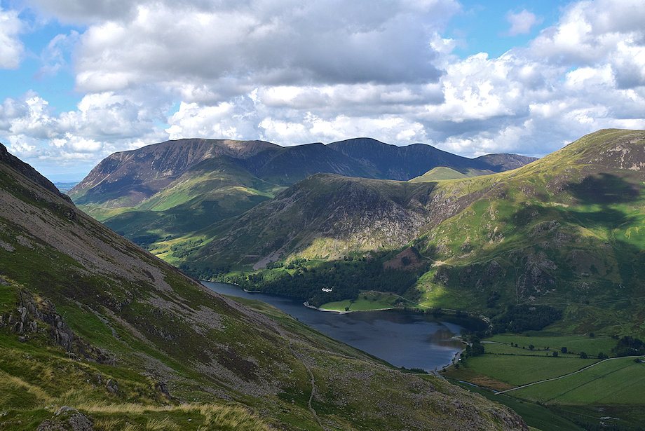 |
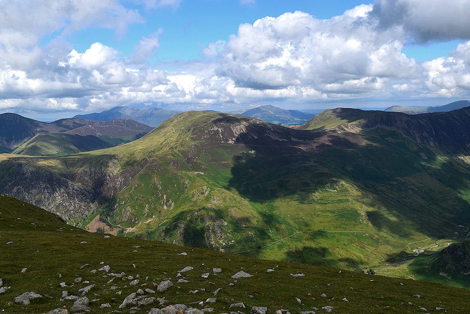
| Buttermere and the North Western Fells from the summit of Seat |
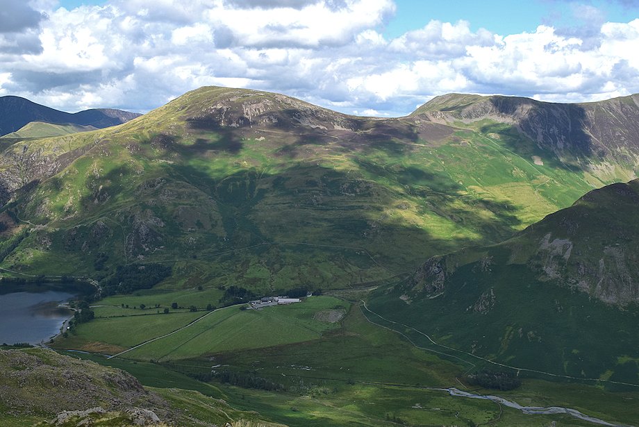 |
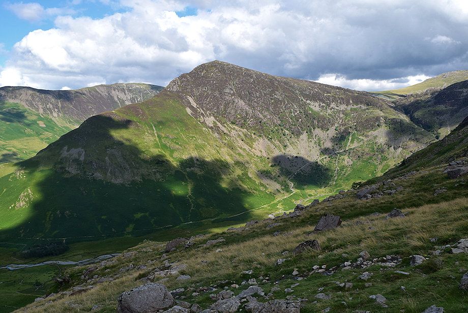
| Robinson and Hindscarth from the summit of Seat |
 |
| Hindscarth, Dale Head, Fleetwith Pike and Helvellyn from the summit of Seat |
 |
| Haystacks from the summit of Seat |
 |
| Green Gable, Great Gable and Kirk Fell from the summit of Seat |
 |
| Pillar from the summit of Seat |
 |
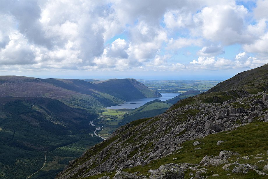
| Ennerdale Water from the summit of Seat |
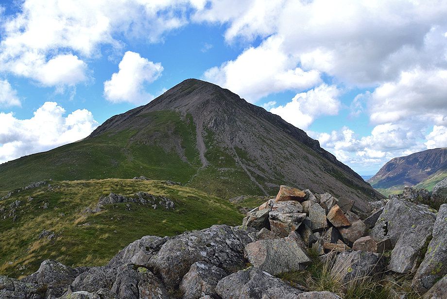 |
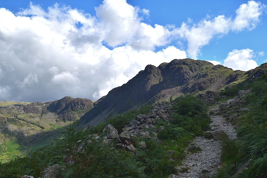
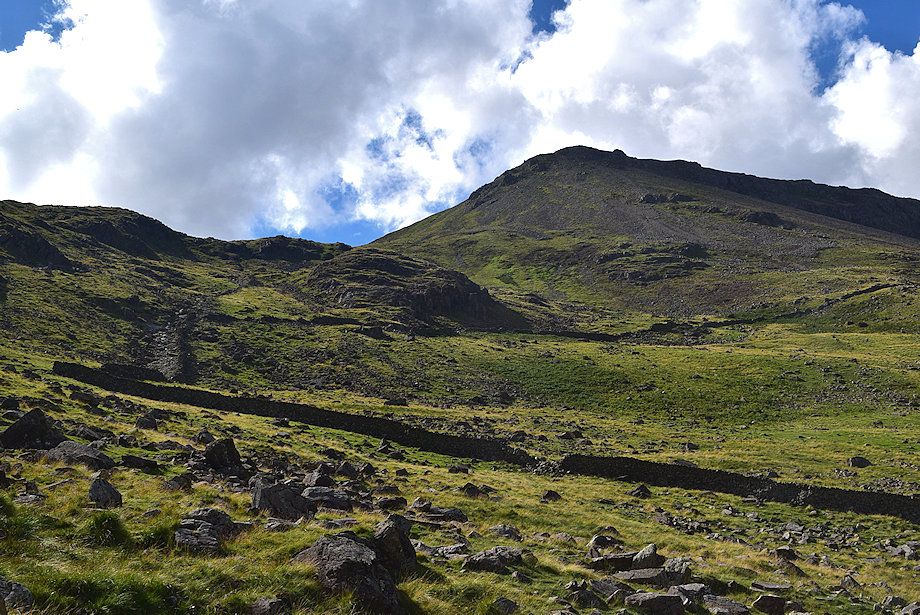
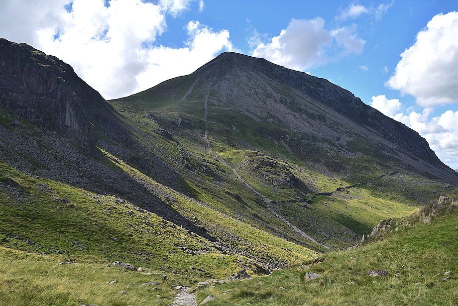
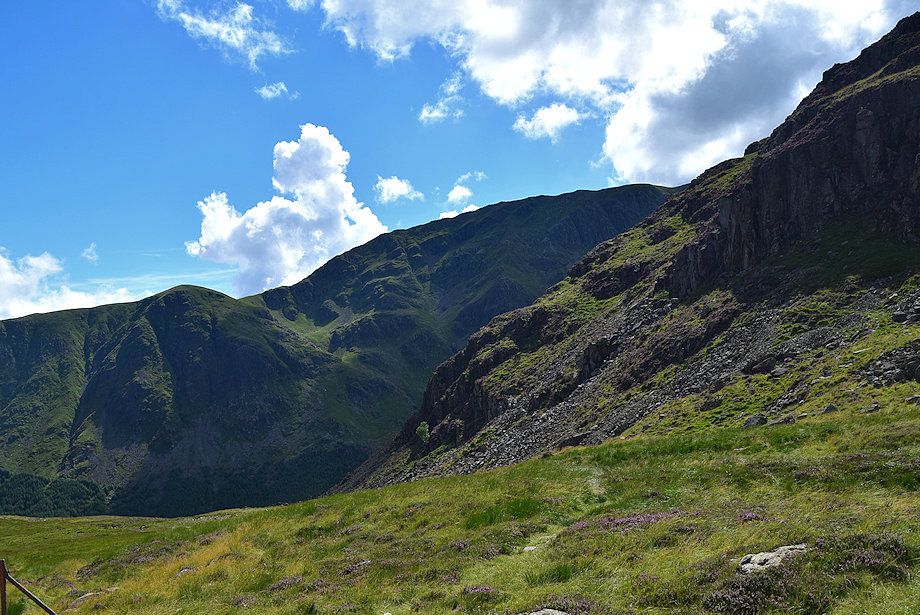
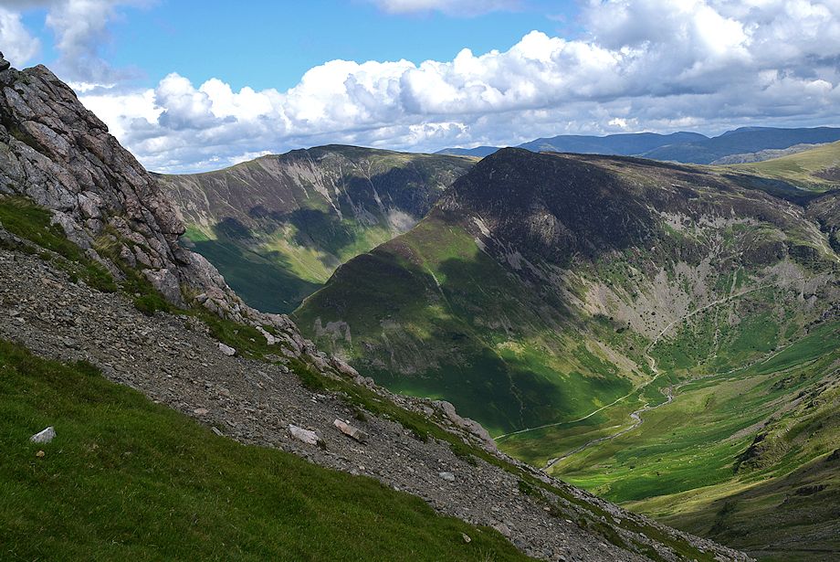
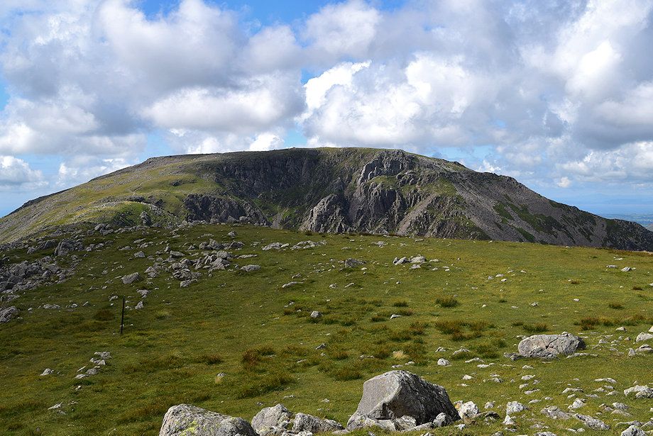
| High Crag from the summit of Seat, the path now gradually descends towards a wide col and a small tarn below the steep prow of Gamlin End |
 |
| Looking back to the summit of Seat from the col |
 |
| Looking over to Robinson and Hindscarth from the col |
 |
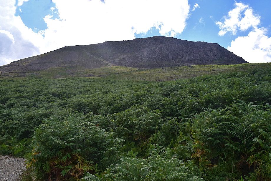
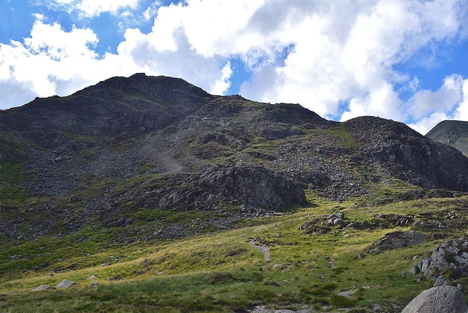
| Gamlin End on High Crag from the col. Most of the ascent path has been stone-pitched and re-aligned since AW drew his diagram of this ascent |
 |
| Kirk Fell and Pillar from the col below Gamlin End |
 |
| Looking back to the col from the start of climb up Gamlin End |
 |
| The Helvellyn range and Fairfield on the distant horizon |
 |
| Initially the stone-pitched path avoids the scree by keeping to grass on the southern flank of Gamlin End |
 |
| Looking over towards Pillar and Steeple |
 |
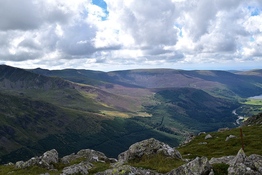
| The head of Ennerdale over Seat |
 |
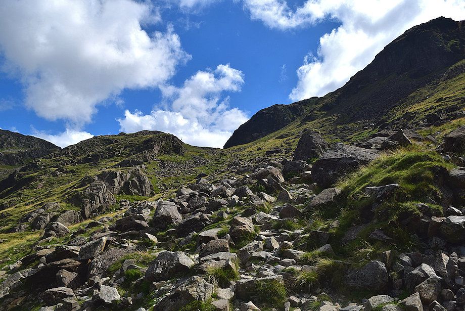
| Not all the scree can be avoided as the path turns and traverses it to gain the spine of the ridge |
 |
| Blencathra appears over the col between Robinson and Hindscarth |
 |
| The path follows the line of old iron posts on the the spine of the ridge, the last remnants of The Ennerdale Fence |
 |
| Pillar, Scoat Fell, and Steeple from Gamlin End |
 |
| Looking back down the scree slope from the upper part of Gamlin End |
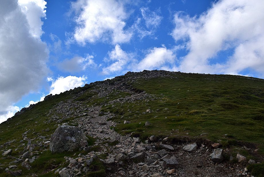 |
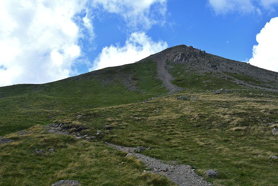
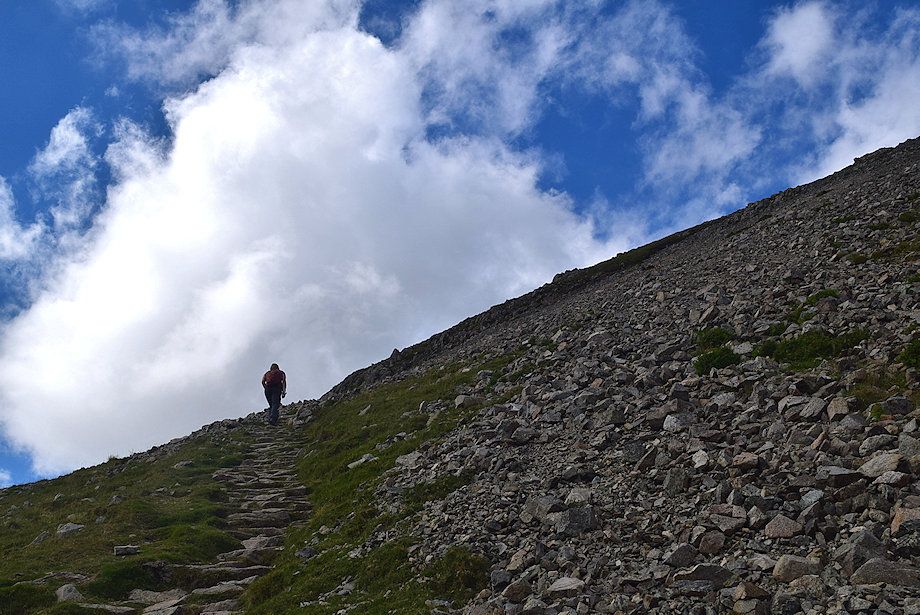
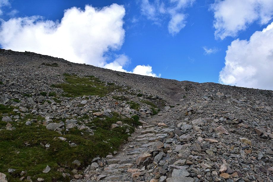
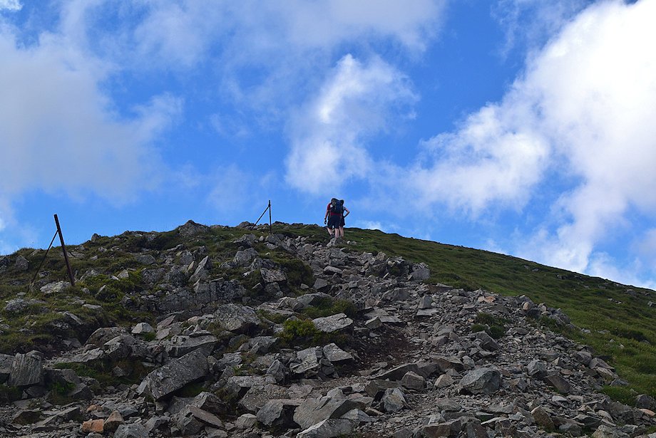
| The final slope leading up the summit of High Crag |
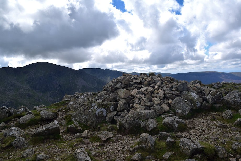 |
| The summit cairn on High Crag |
 |
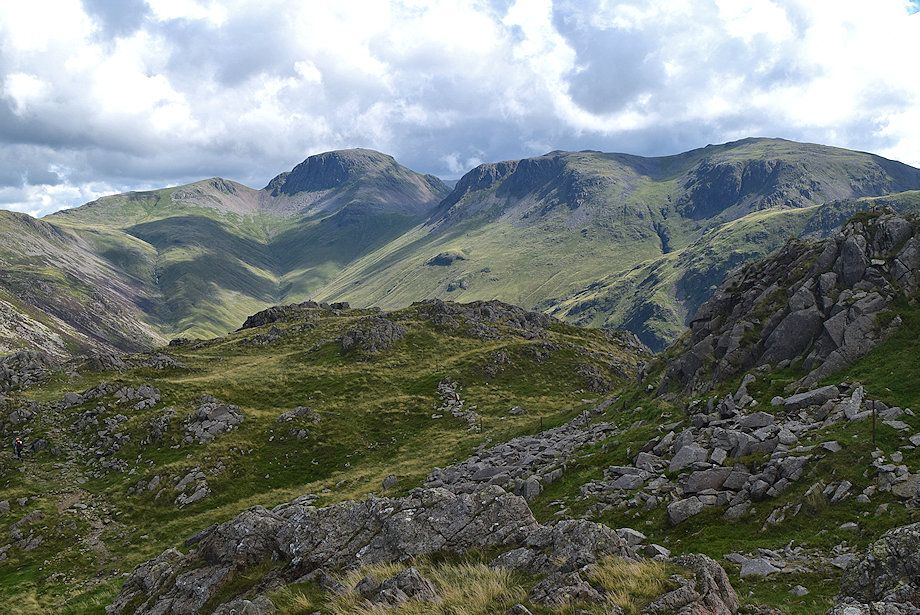
| Pillar, Scoat Fell, and Steeple from the summit of High Crag |
 |
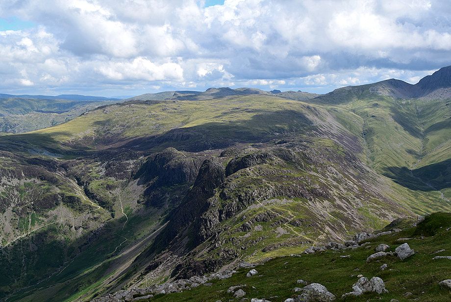
| Little Gowder Crag, Caw Fell, Iron Crag, and Boathow Crag from the summit of High Crag |
 |
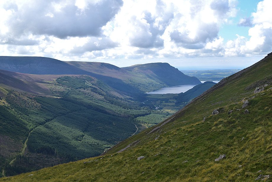
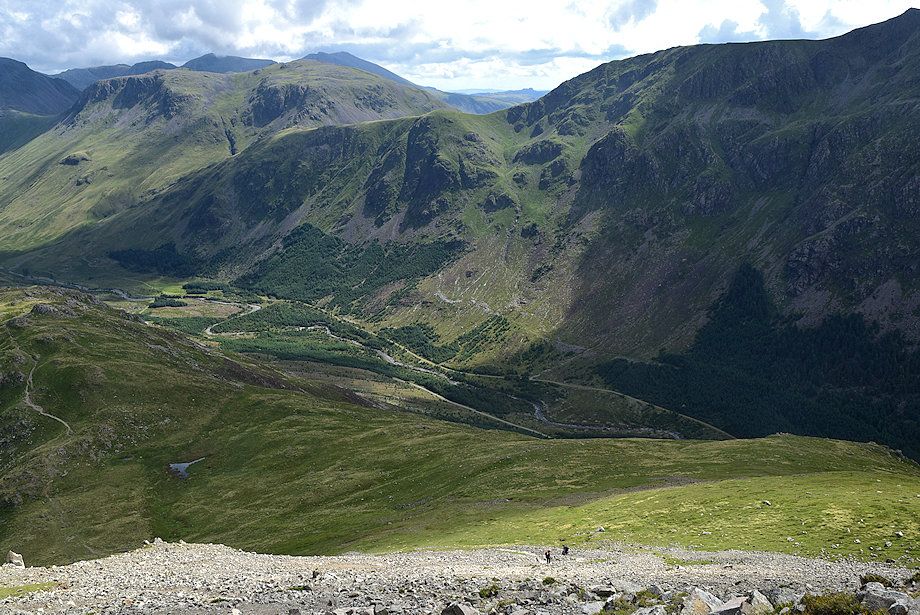
| Ennerdale Water from the summit of High Crag |
 |
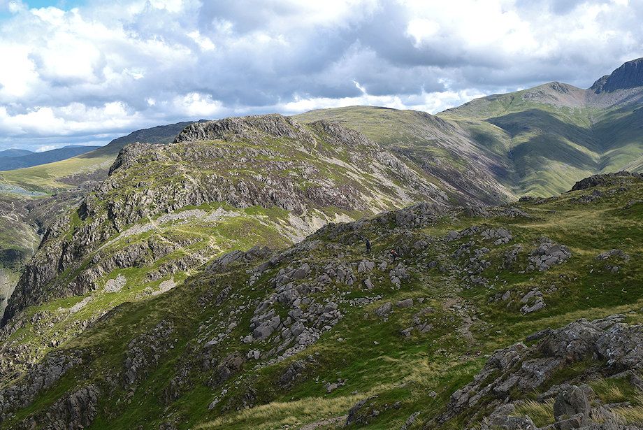
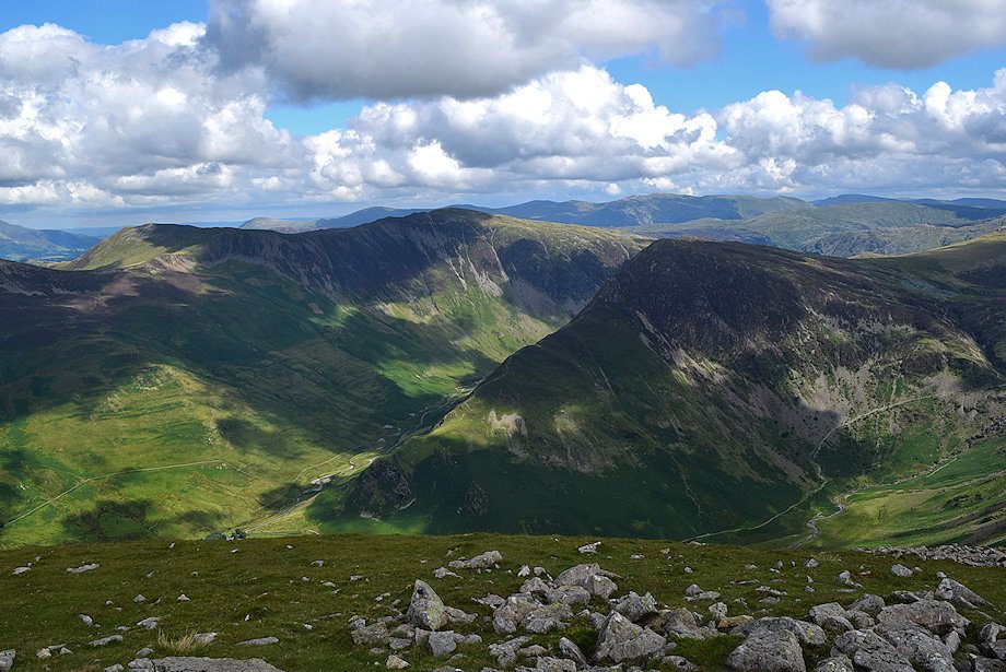
| The connecting ridge to High Stile |
 |
| Grasmoor, Whiteles Pike, Wandope, Eel Crag, and Sail from the summit of High Crag |
 |
| Robinson flanked by Skiddaw and Blencathra on the distant horizon |
 |
| Hindscarth, Dale Head, and Fleetwith Pike from the summit of High Crag |
 |
| Haystacks from the summit of High Crag |
 |
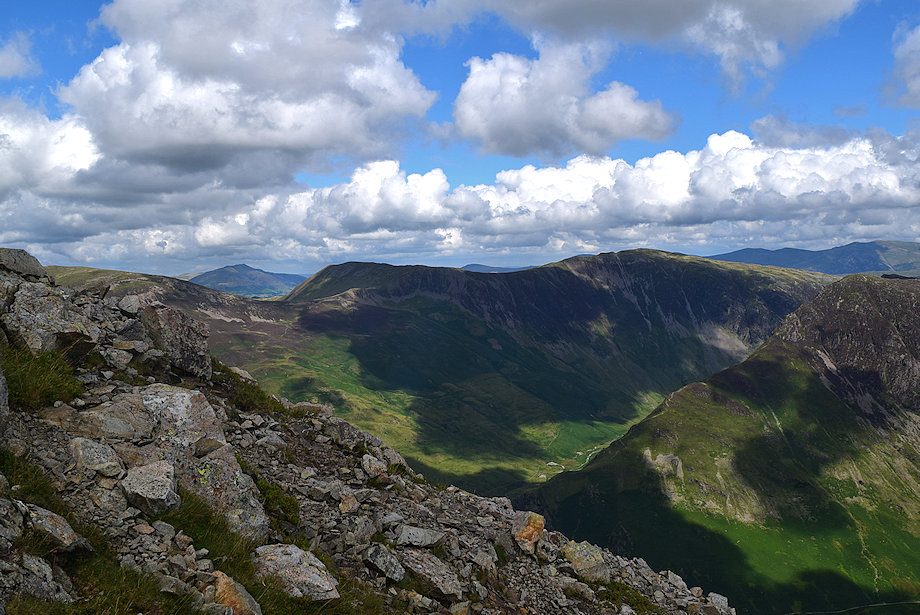
| The head of Ennerdale from the summit of High Crag |
