
| High Crag - Route One |
| Start - Buttermere NY 173 171 | Distance - 2.6 miles | Ascent - 2,160 feet | Time - 2 hours : 05 minutes |
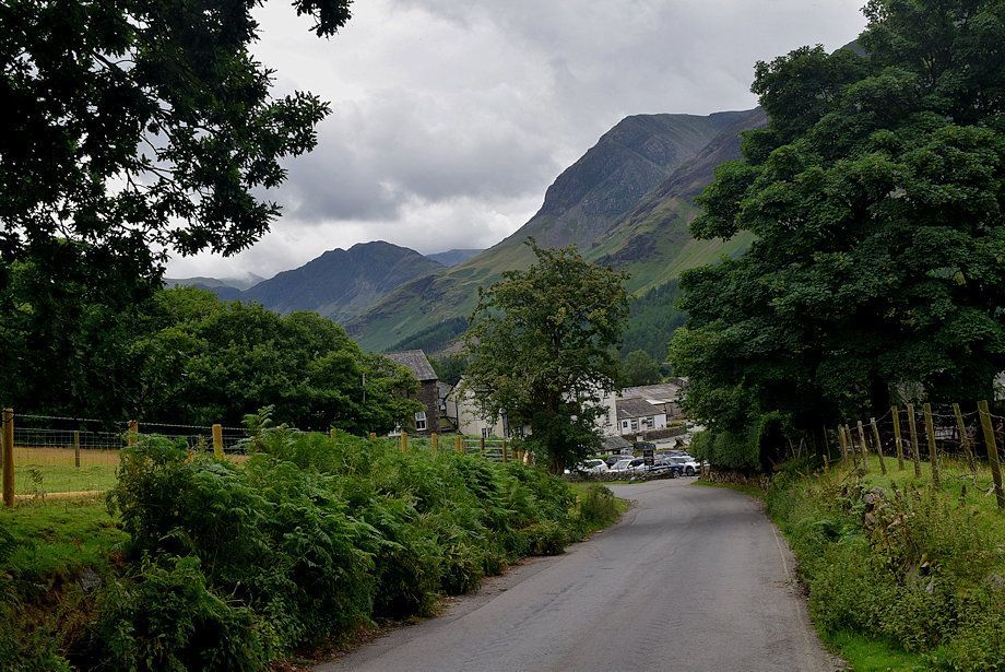 |
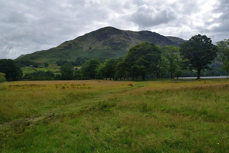
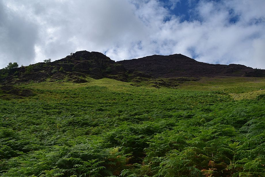
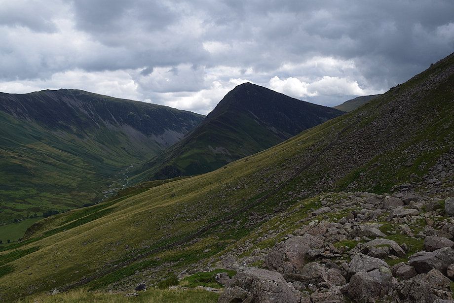
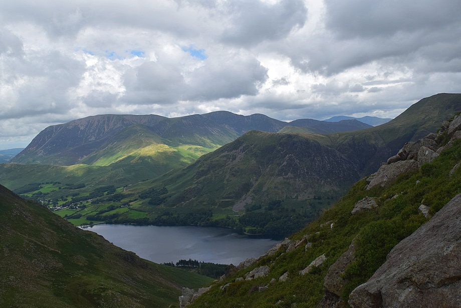
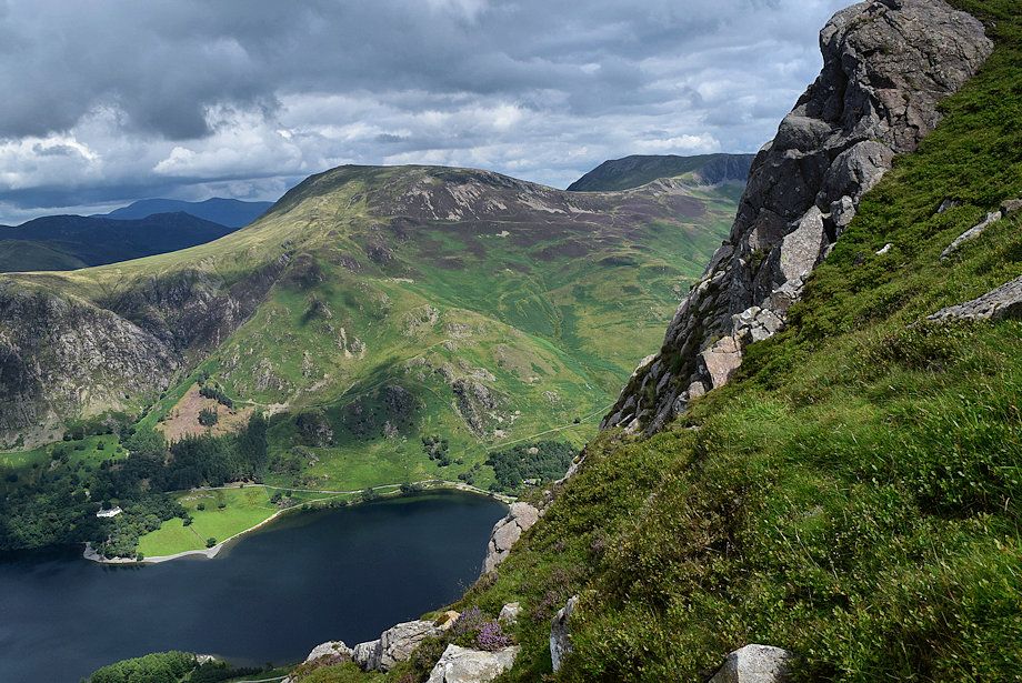
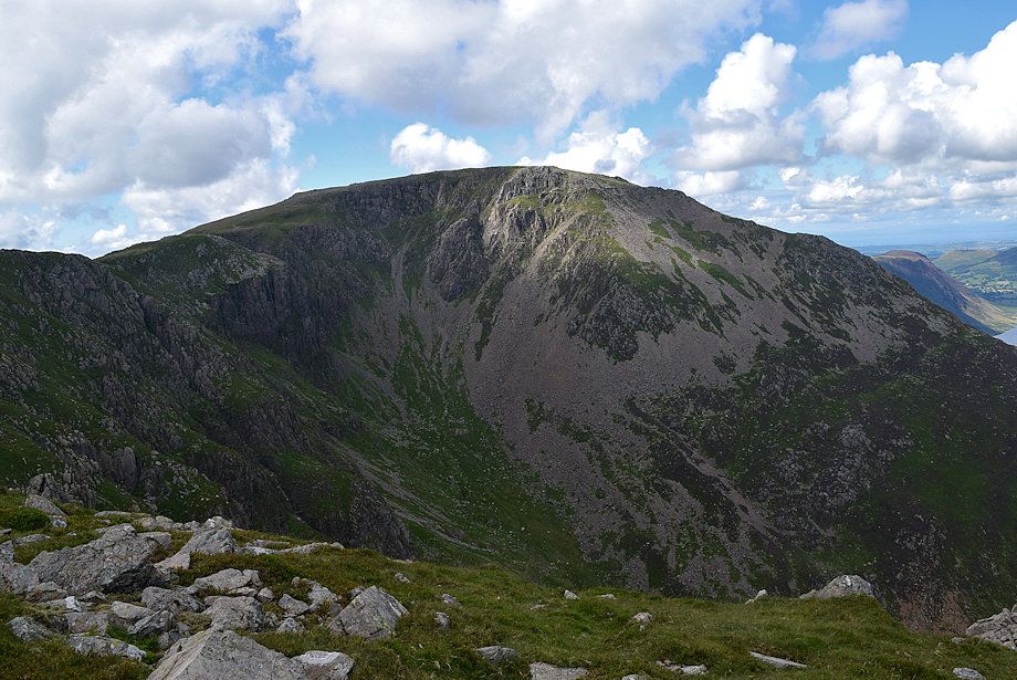
| High Crag Buttress from Buttermere village. Sheepbone Rake can be seen rising right to left across the face of the buttress |
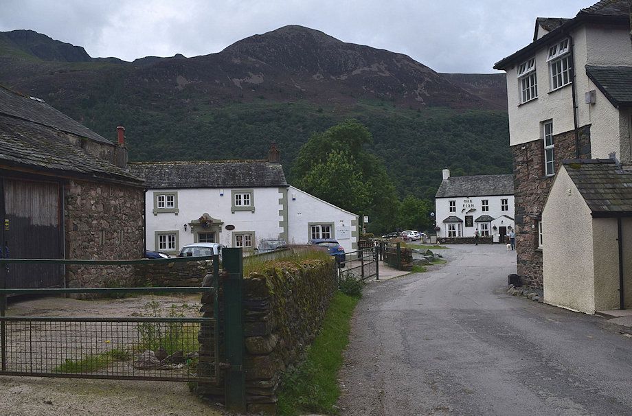 |
| The route passes The Fish Hotel and onto the gated lane to the lake |
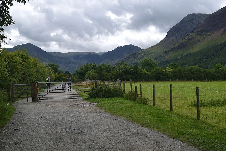 |
| The gated lane leading to the lake |
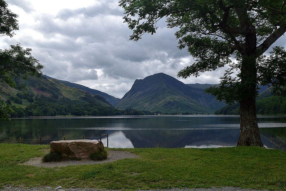 |
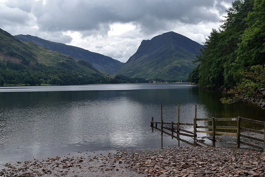
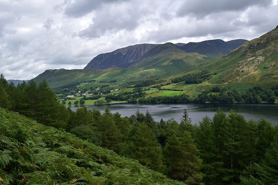
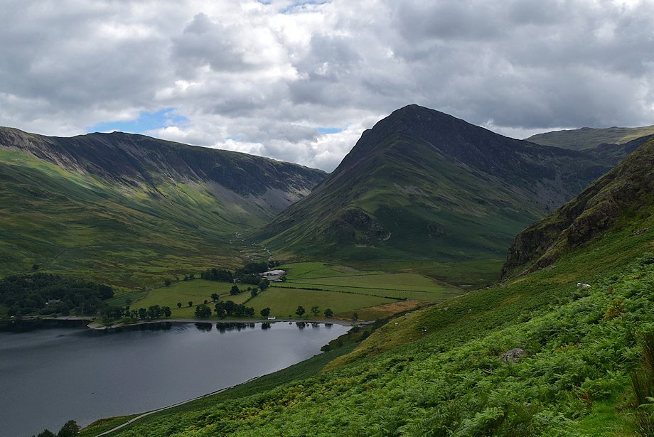
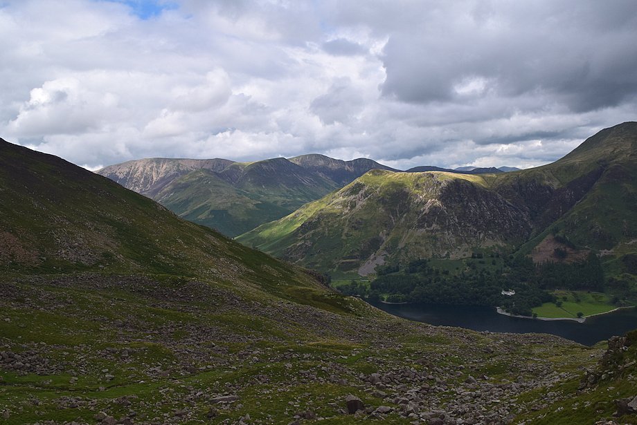
| Fleetwith Pike across Buttermere |
 |
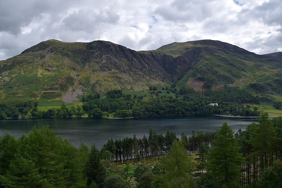
| Looking back to High Snockrigg |
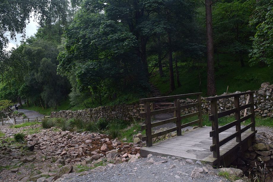 |
| Cross the footbridge over the inflow of Sourmilk Gill and pass through the handgate onto the lakeshore track |
 |
| Fleetwith Pike from the Sourmilk Gill inflow into the lake |
 |
| Leave the lakeshore track for an old forestry road which climbs steadily through Burtness Wood |
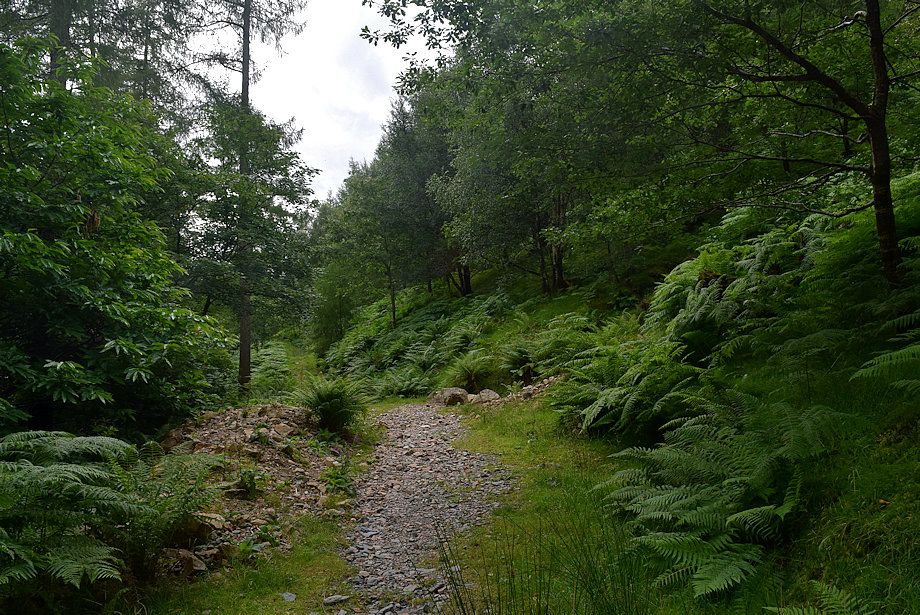 |
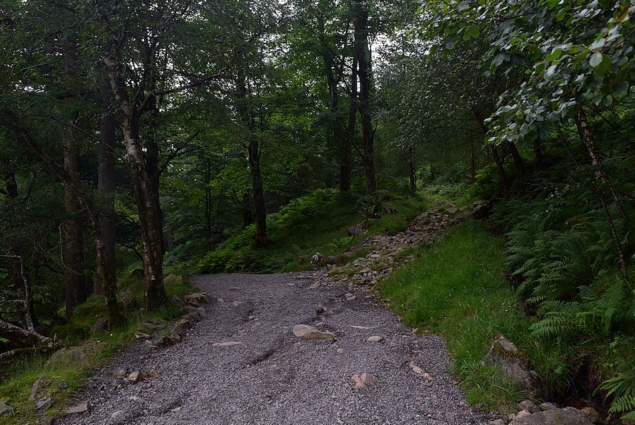
| The old forestry road in Burtness Wood |
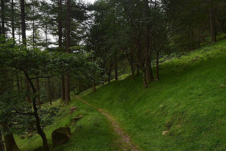 |
| Shortly after passing a ruined wall, when the forestry road begins to descend back to the lake shore, veer half-right onto a green path which continues to rise through Burtness Wood. This is the start of the climber's path to Burtness Comb |
 |
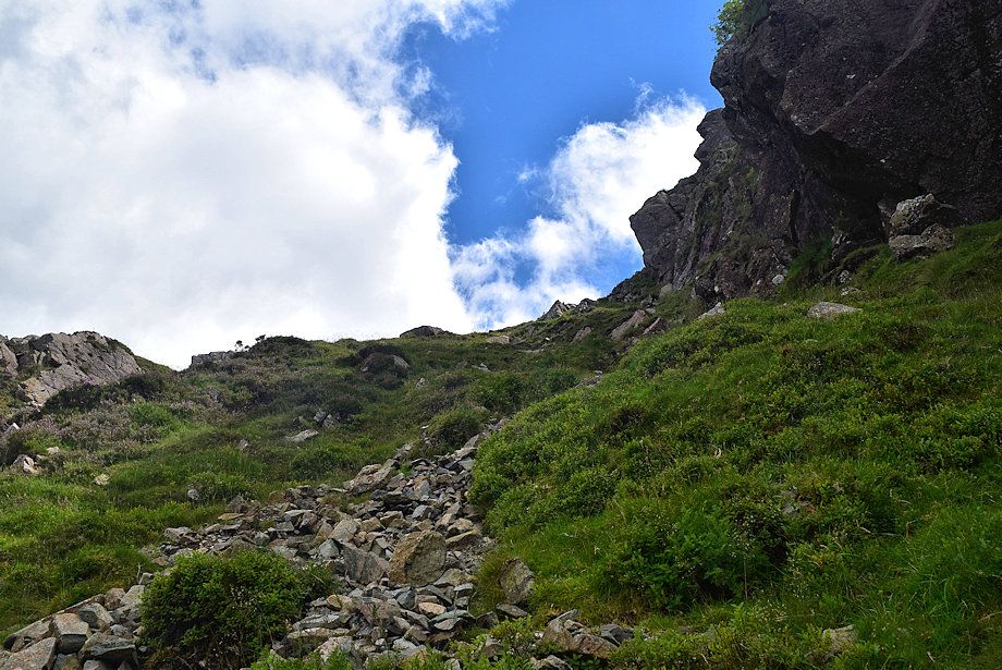
| After climbing for 250 yards the path crosses a stile over the forest fence |
 |
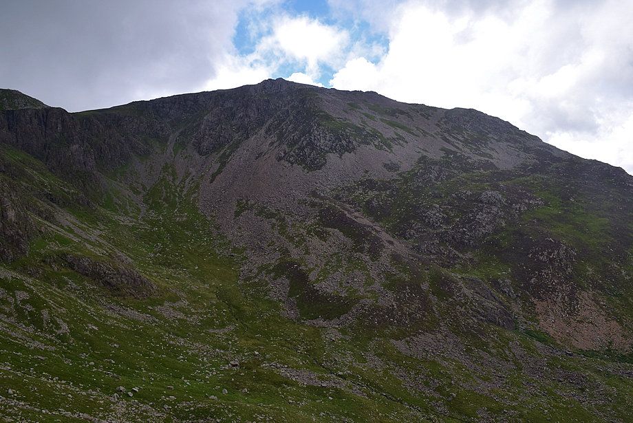
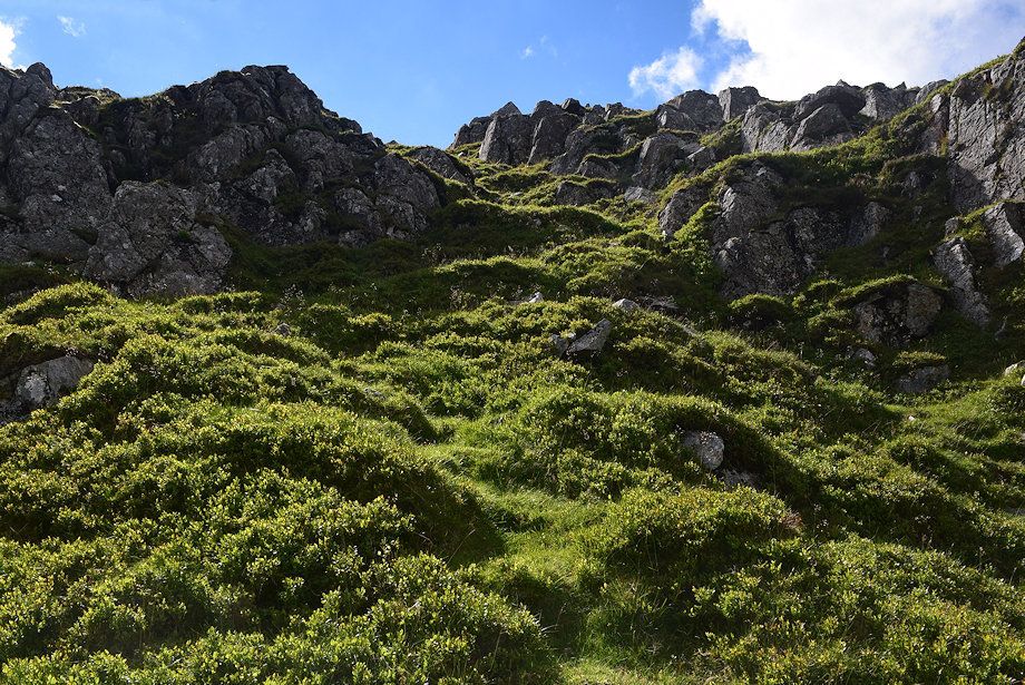
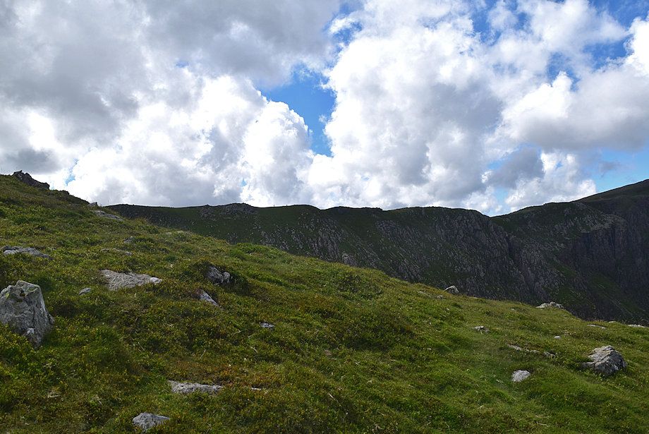
| The climber's path continues as a green trod across the north-eastern slopes of High Stile. The bracken makes it difficult to follow in high summer. You can follow the fence and an intake wall above the wood instead which acts as sure guide towards Burtness Comb, but it's not recommended as the bracken is even worse. The path eventually rejoins the wall at a higher level |
 |
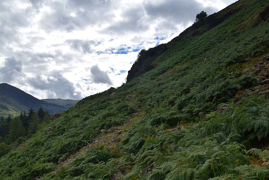
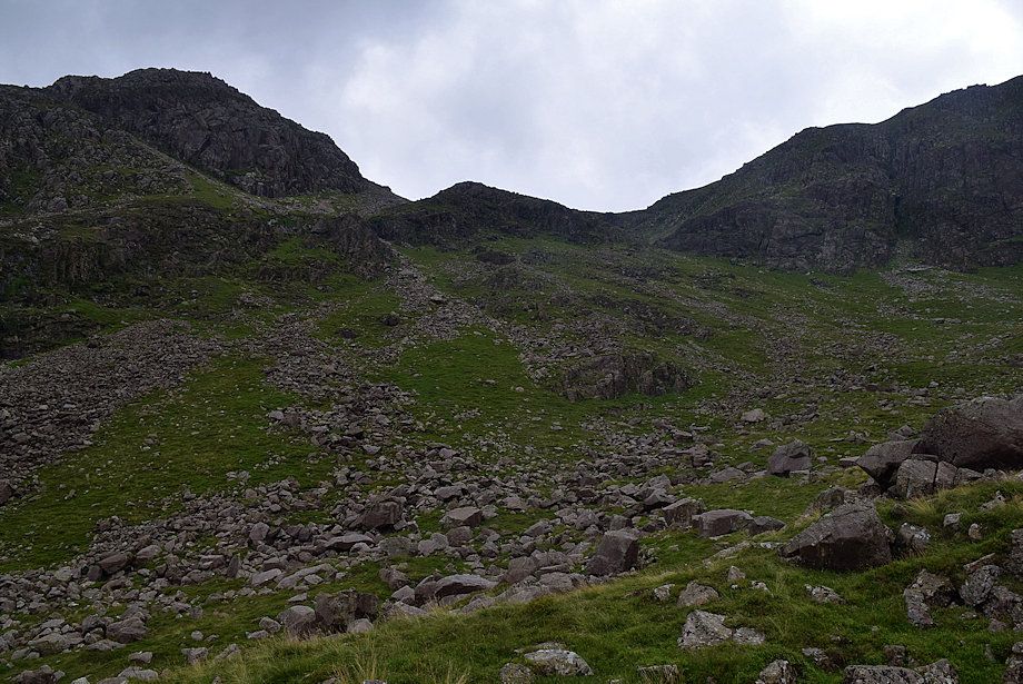
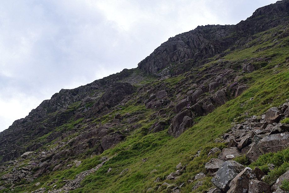
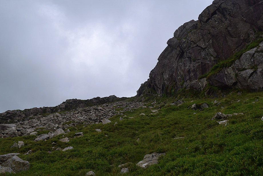
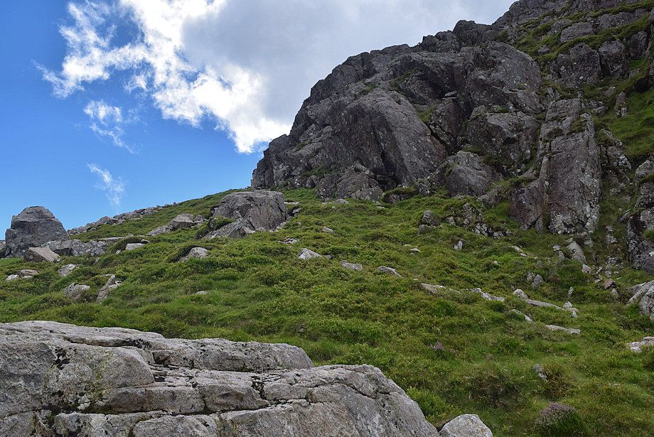
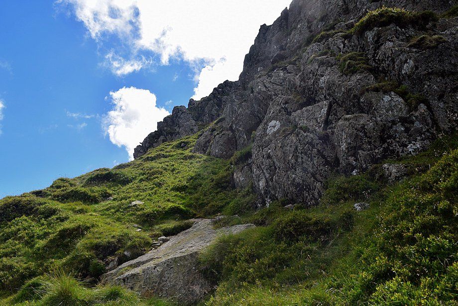
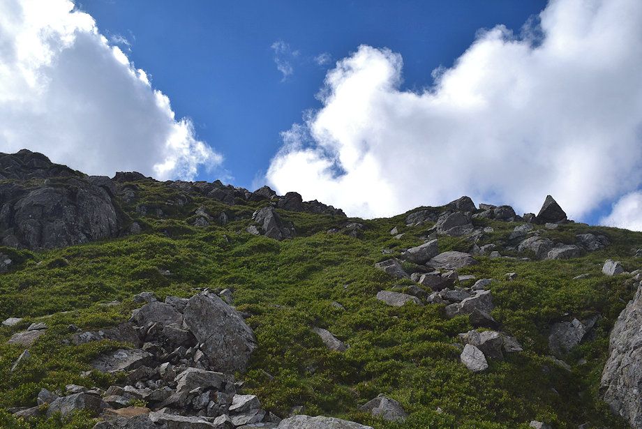
| Looking up to High Stile's north-east ridge from the stile |
 |
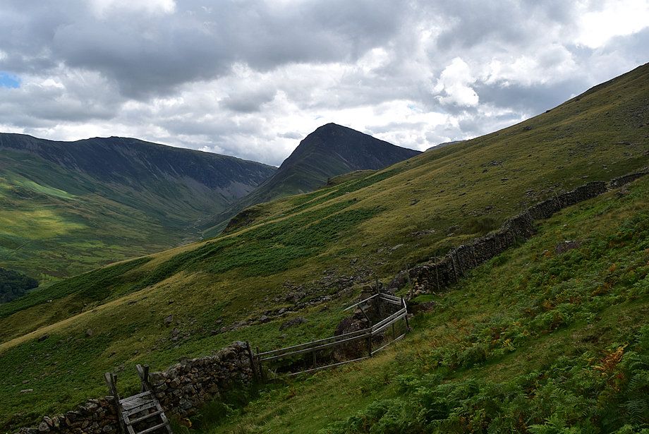
| Looking back to the Grasmoor group of fells from the climber's path |
 |
| High Snockrigg and Robinson across Buttermere from the climber's path |
 |
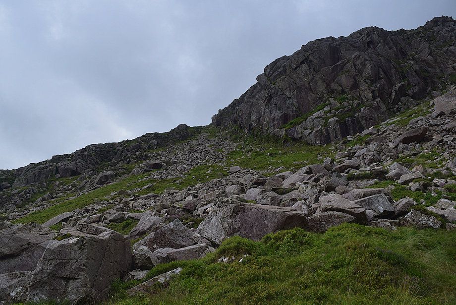
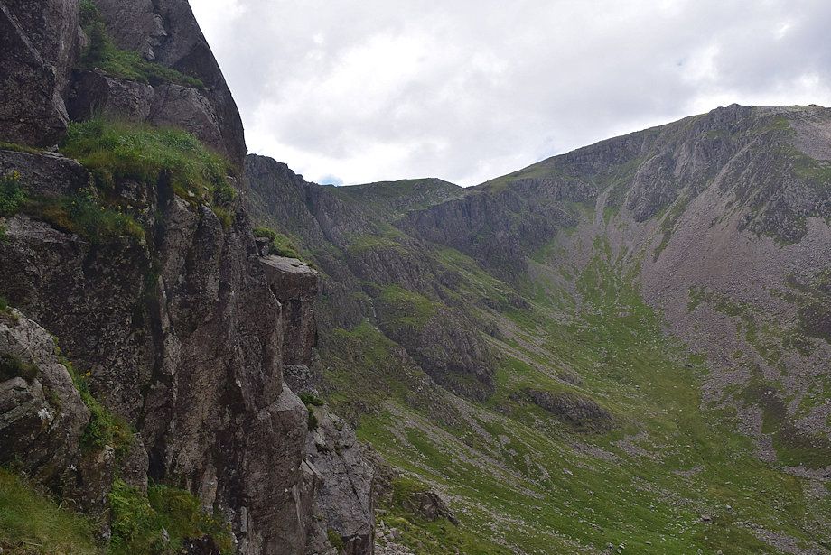
| Higher up, the path crosses a scree slope and passes below a crag. It's a little vague over this stretch but becomes clearer on the other side of the crag |
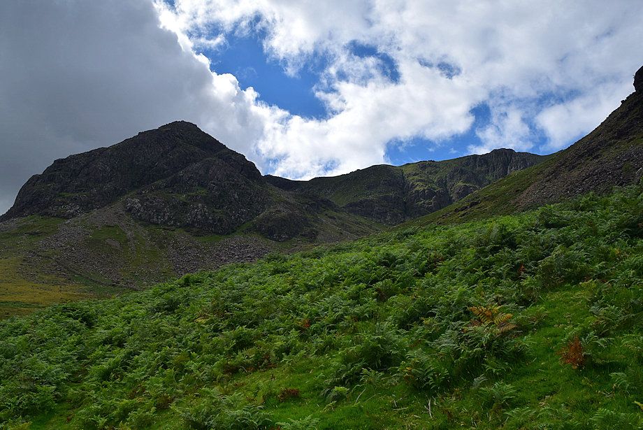 |
| High Crag Buttress and Comb Crags come into view |
 |
| Fleetwith Pike from the climber's path |
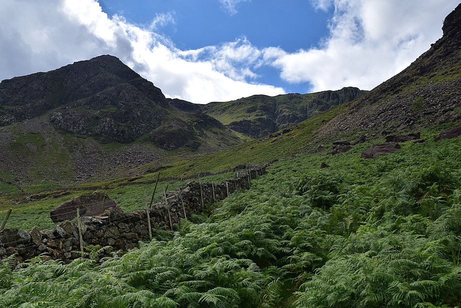 |
| The path eventually re-joins the intake wall which it follows up to the point where the wall makes a turn towards Comb Beck. Leave it that point and climb the slope beyond it on a faint path to enter Burtness Comb |
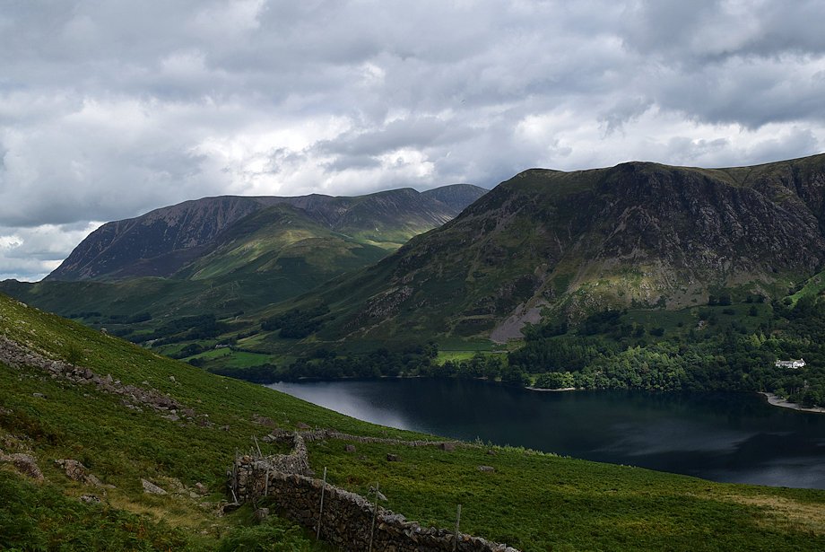 |
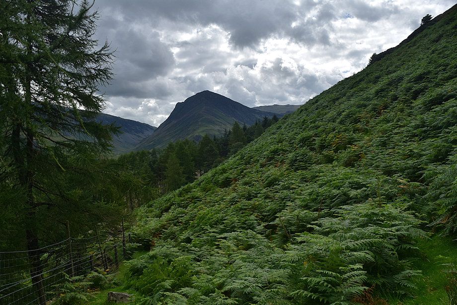
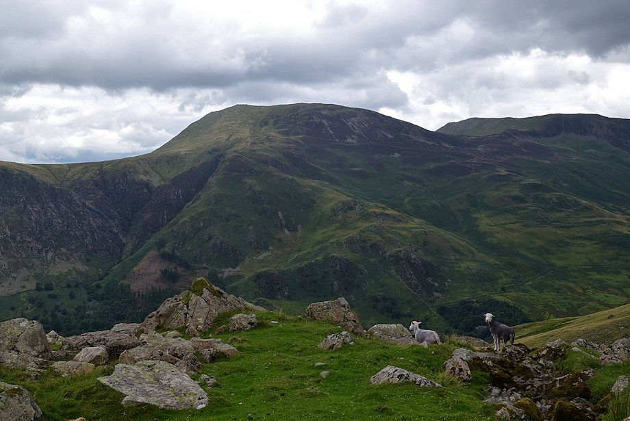
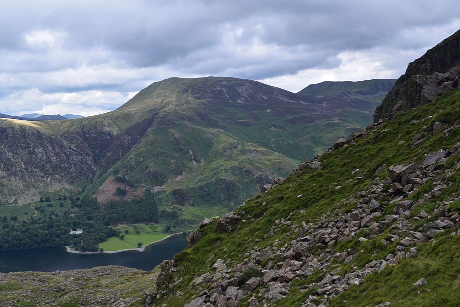
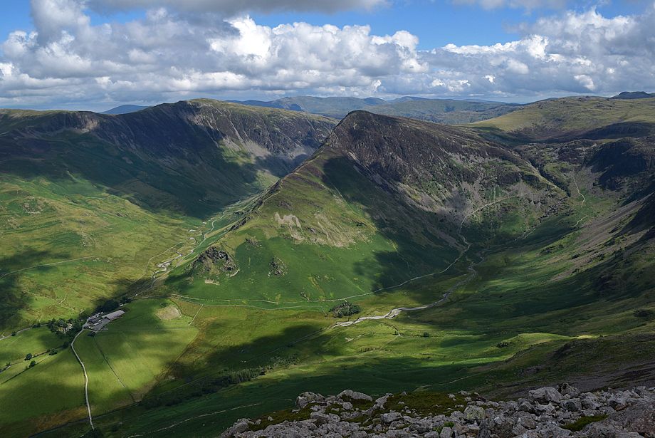
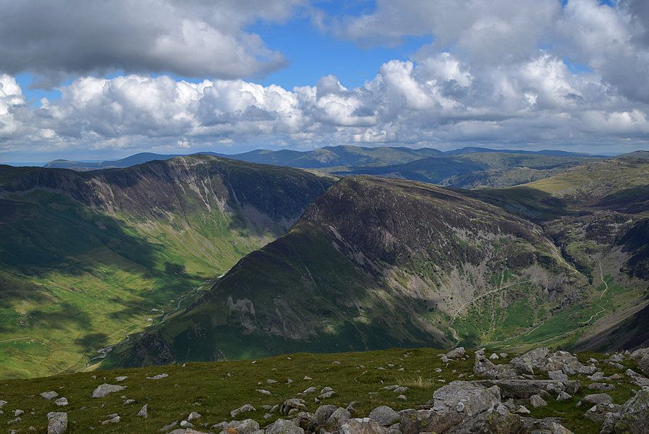
| Looking back to Grasmoor, Whiteless Pike, Wandope and Eel Crag with High Snockrigg above Buttermere on the right |
 |
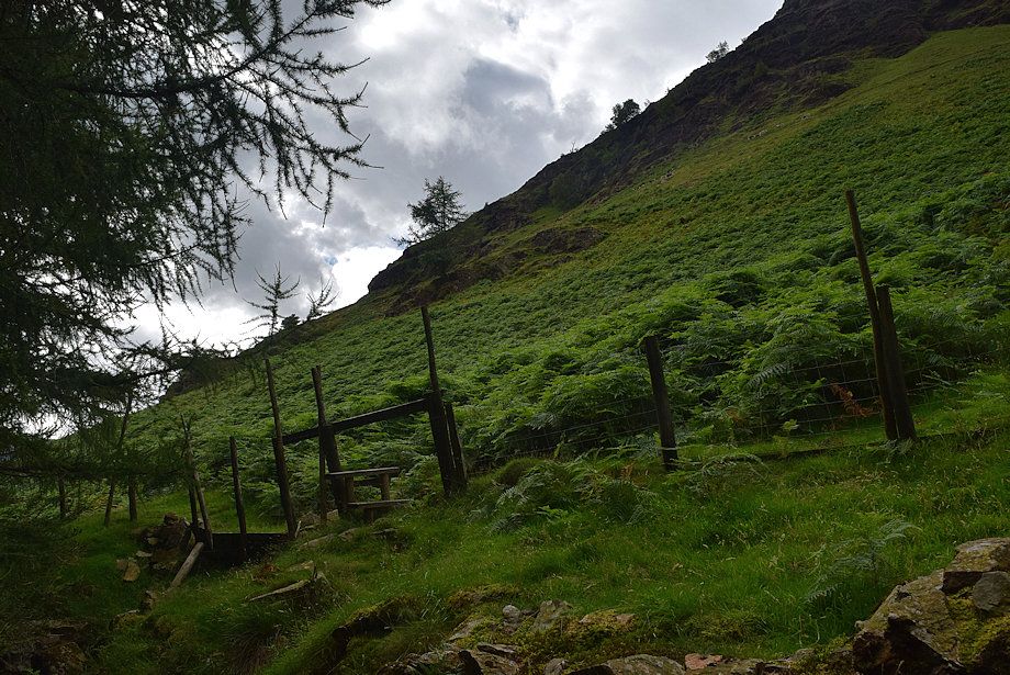
| The path from Peggie's Bridge, near Gatesgarth, crosses the stile and joins the climber's path at this point |
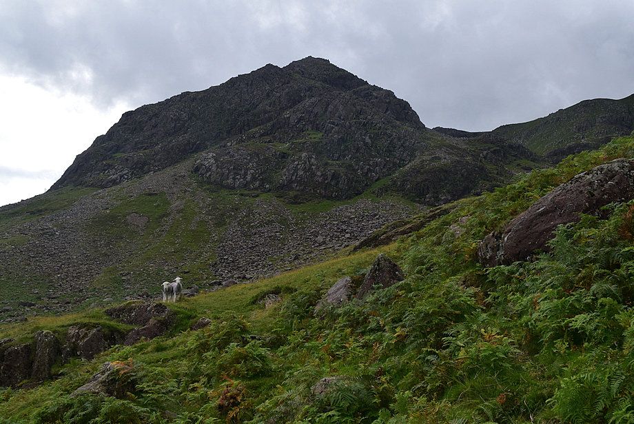 |
| High Crag Buttress from the lip of Burtness Comb |
 |
| Comb Crags across Burtness Comb. Initially it's best to keep to the right side of the comb to avoid most of the boulders which litter its bed |
 |
| Robinson and Hindscarth from the lip of Burtness Comb |
 |
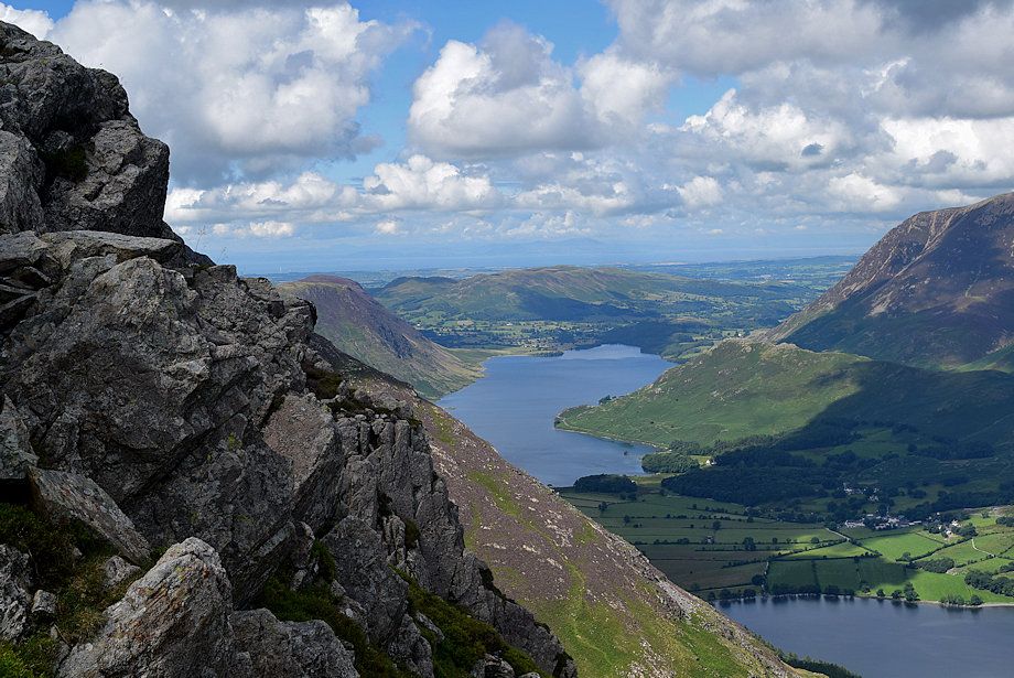
| Dale Head and Fleetwith Pike from the lip of Burtness Comb |
 |
|
Some prefer to climb directly to the rock gateway below the start of Sheepbone Rake. It's easier to climb the slope to the right of the rock outcrop seen here in the centre of the photo to a point where the full length of Sheepbone Rake comes into view, then make a rising traverse along a grass ramp towards the rock gateway |
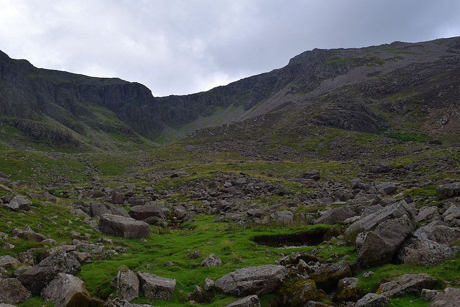 |
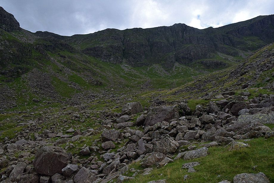
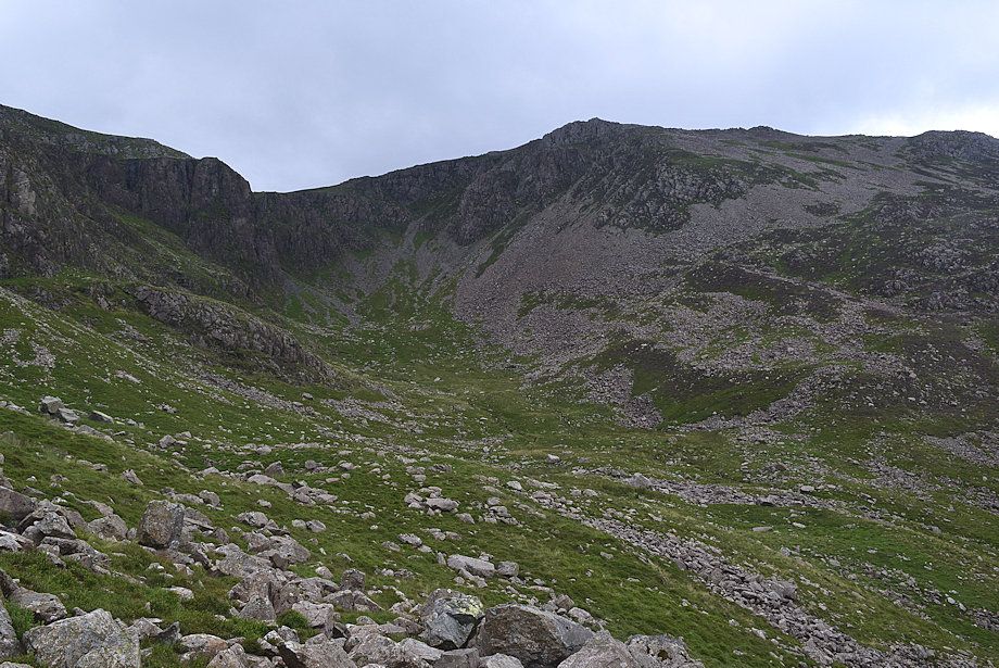
| Crossing the bed of Burtness Comb. The head of the comb is flanked by the awesome Eagle Crag on the left and Grey Crag on the right |
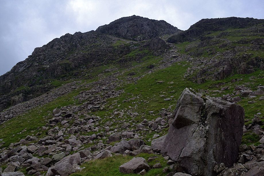 |
| The direct climb to the rock gateway, which avoids most of the scree and boulders, can be started from this prominent boulder |
 |
| Looking back from the climb up to the grass ramp |
 |
| Robinson and Hindscarth from the climb up to the grass ramp |
 |
| Starting the traverse across to the rock gateway and Sheepbone Rake |
 |
| The head of Burtness Comb from the start of the traverse |
 |
| There is a cairn set on a boulder on the approach to the rock gateway and the start of the rake |
 |
| Looking over to Grasmoor group of fells from the rock gateway |
 |
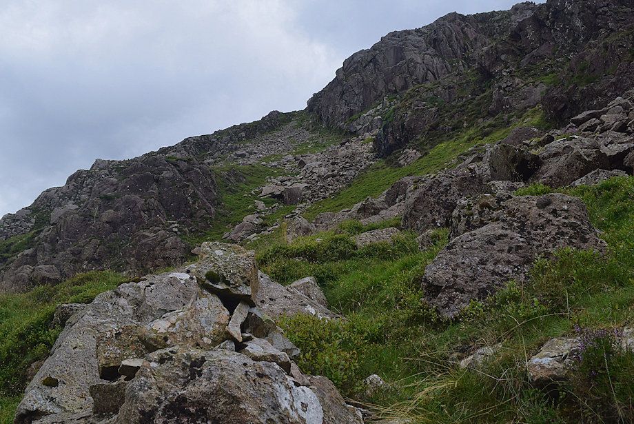
| Sheepbone Rake from the rock gateway. The rake is much steeper than it appears from the photo |
 |
| The head of Burtness Comb and High Stile from the start of Sheepbone Rake |
 |
| Grasmoor, Whiteless Pike, Wandope, Eel Crag, Sail, Scar Crags, Causey Pike and Robinson from the start of Sheepbone Rake. Skiddaw and Skiddaw Little Man appear in the distance on the right above Causey Pike |
 |
| It's easier to keep to the right side of the rake climbing alongside the base of Sheepbone Buttress to avoid most of the boulders and scree |
 |
| Looking back to the head of Burtness Comb from the base of Sheepbone Buttress |
 |
| The end of the first section of scree on the rake |
 |
| Looking across to Robinson and Hindscarth from Sheepbone Rake |
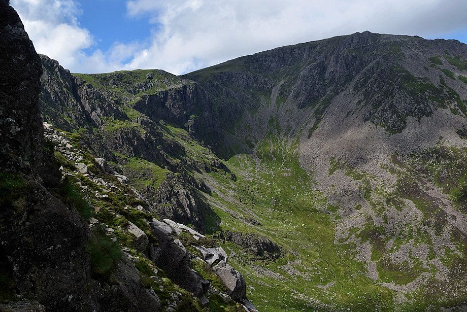 |
| Looking back along the length of Comb Crags to Eagle Crag at the head of Burtness Comb |
 |
| There is a faint path to follow over the grass and bilberry sections of the rake |
 |
| Looking down on the lower part of Sheepbone Rake |
 |
| High Stile across Sheepbone Buttress |
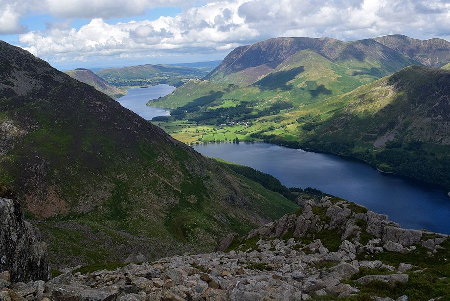 |
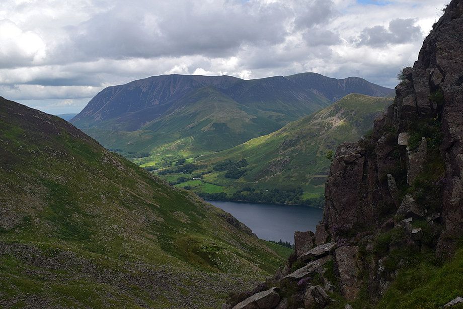
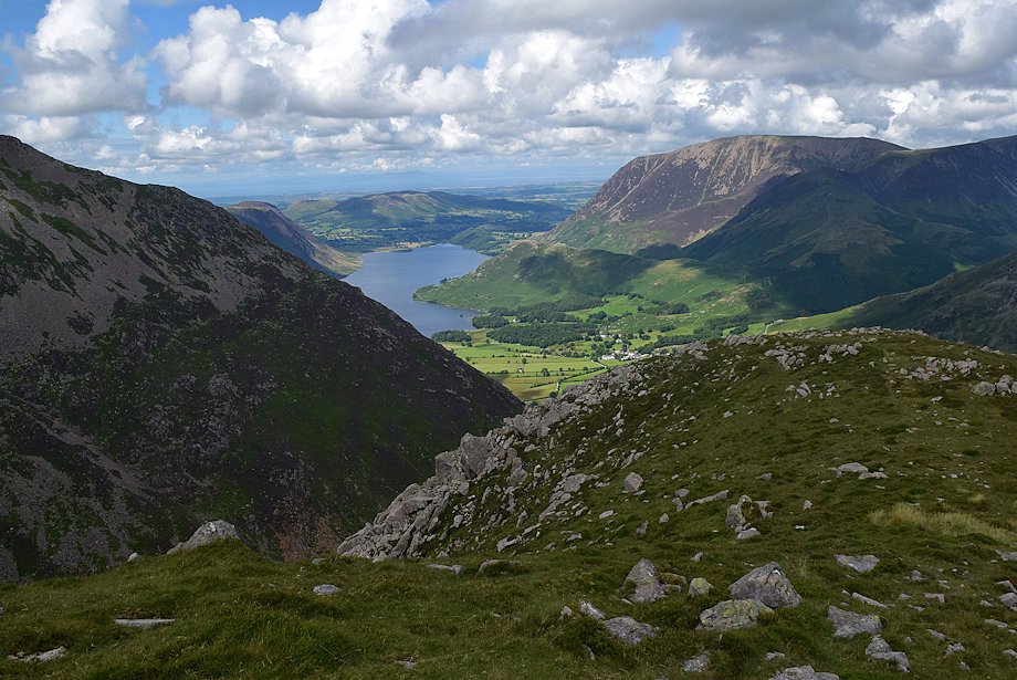
| Crummock Water and Buttermere from Sheepbone Rake |
 |
| Fleetwith Pike from Sheepbone Rake |
 |
| Looking down to the head of Buttermere from Sheepbone Rake |
 |
| The path becomes clearer on the upper part of Sheepbone Rake |
 |
| The summit of Glaramara appears over the col between Grey Knotts and Brandreth |
 |
| Nearly at the top of the rake and, as Sheepbone Buttress tapers away, it's time to look for a suitable exit route from the rake |
 |
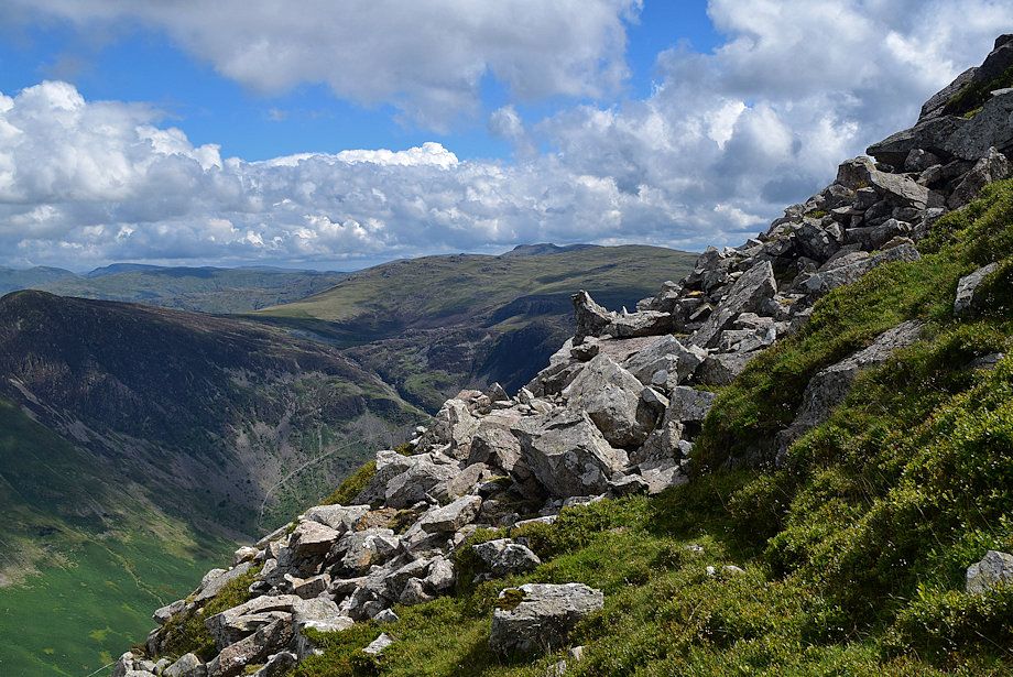
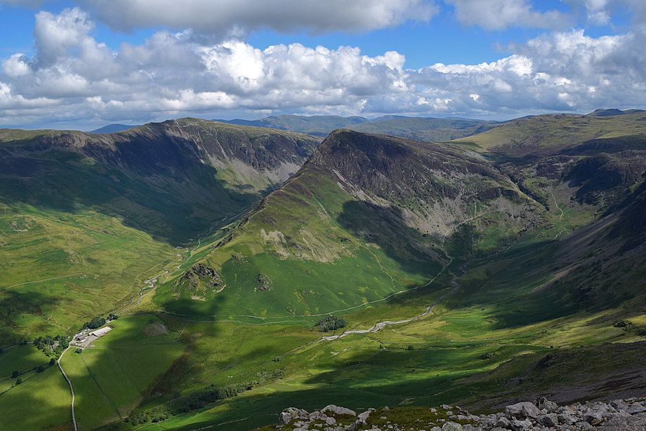
| Looking down on Gatesgarth from the top of the rake |
 |
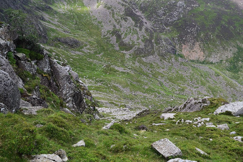
| This shallow grass and bilberry gully is an easy exit route from the rake, there is a faint path leading up to it |
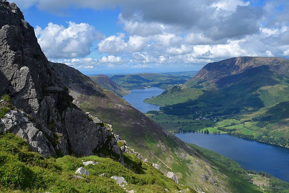 |
| Crummock Water and Buttermere from the foot of the exit route |
 |
| Fleetwith Pike and Warnscale Bottom from the foot of the exit route |
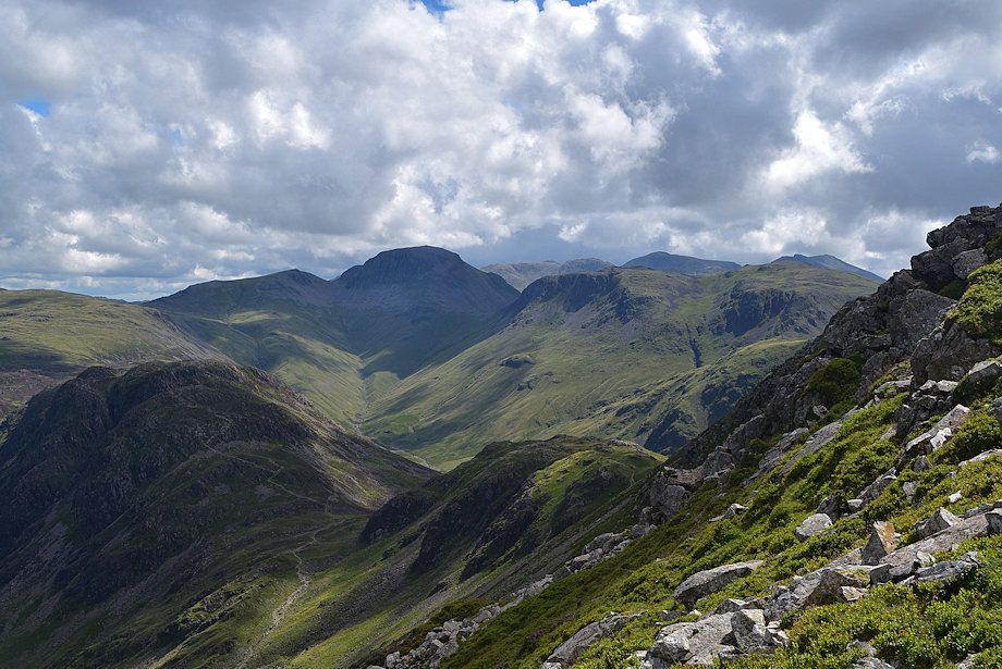 |
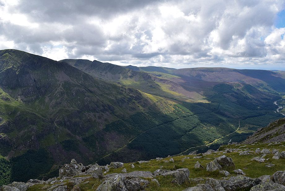
| Looking over to Great Gable at the head of Ennerdale |
 |
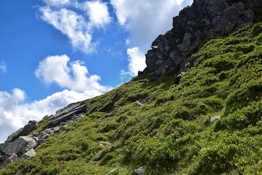
| Veer half right near the top of the gully to reach the top of Sheepbone Buttress and the open slopes below High Crag's north top |
 |
| Crummock Water from the exit gully |
 |
| Fleetwith Pike from the top of Sheepbone Buttress |
 |
| The connecting ridge between High Crag and High Stile comes into view. Note the two walkers on the horizon, left of centre |
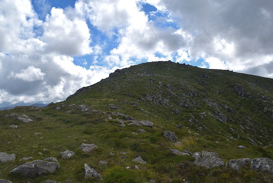 |
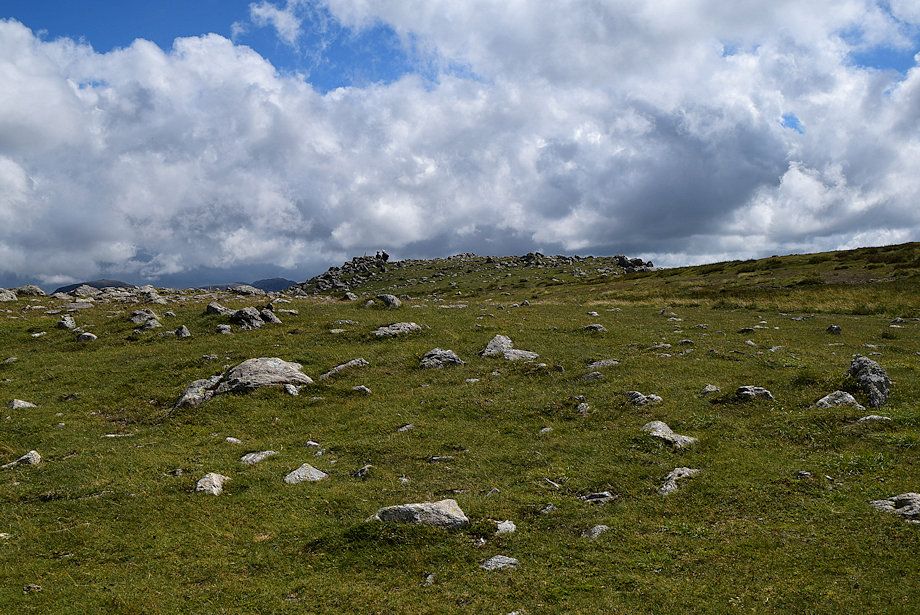
| Approaching the north top of High Crag, the true summit lies a short distance beyond it |
 |
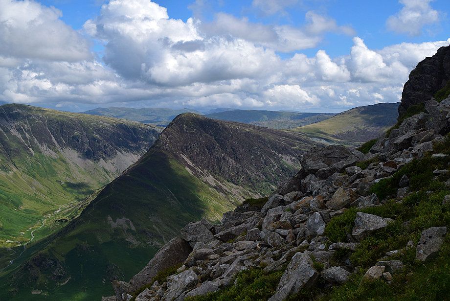
| Looking over to Haystacks from the climb to the north top |
 |
| Grasmoor, Wandope, Eel Crag, Sail, and Causey Pike from High Crag's north top |
 |
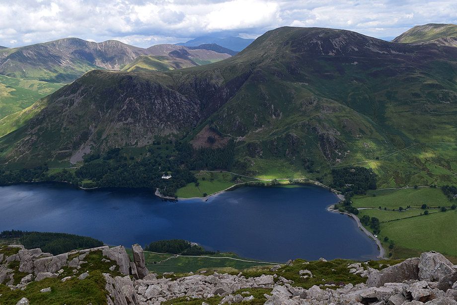
| Crummock Water and Grasmoor over High Crag's north top |
 |
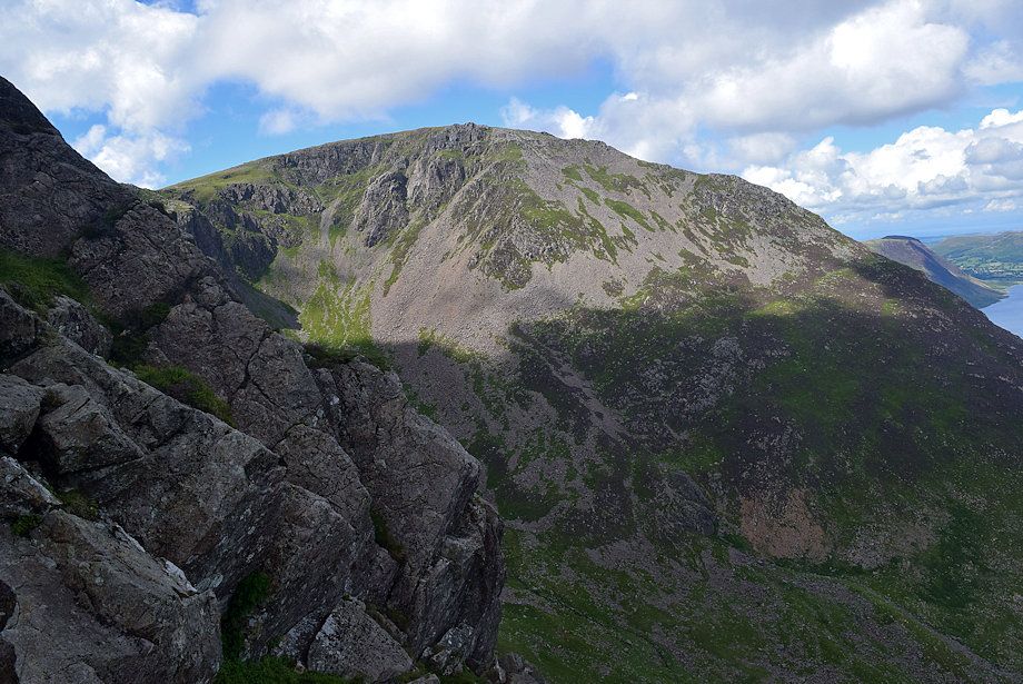
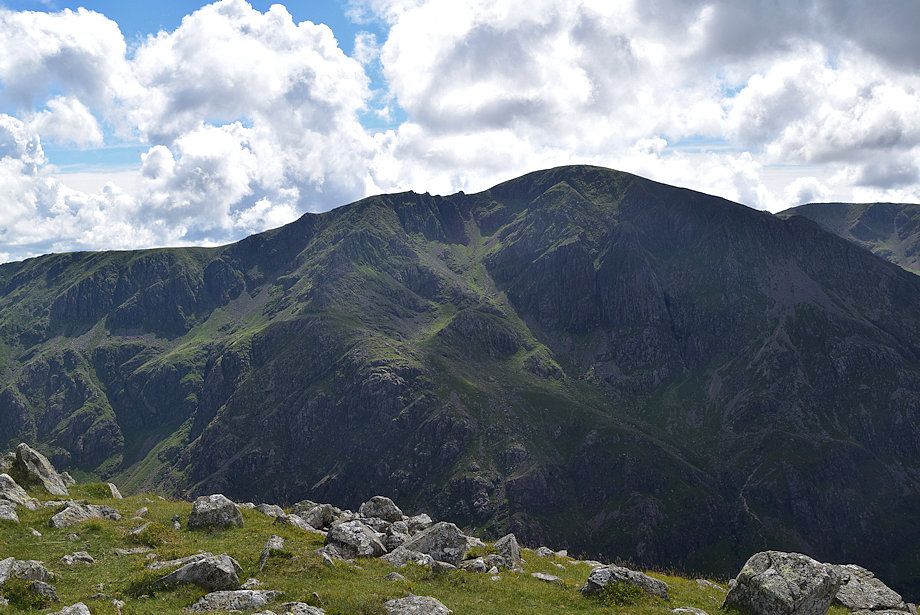
| High Stile across Burtness Comb |
 |
| The summit of High Crag comes into view |
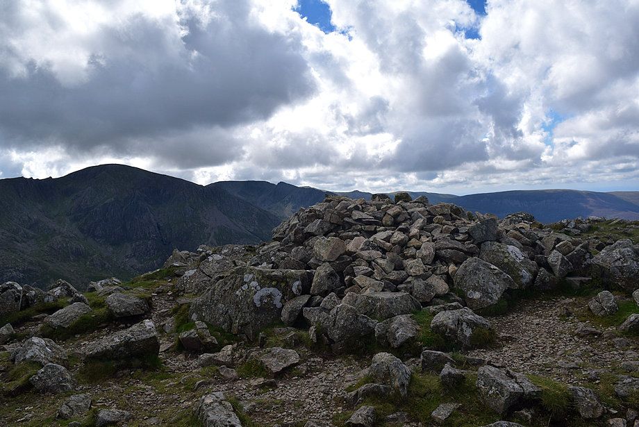 |
| The summit cairn on High Crag |
 |
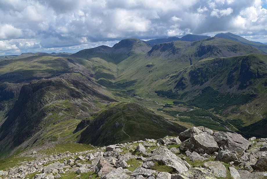
| Pillar from the summit of High Crag |
 |
| Pillar, Scoat Fell, Steeple, Little Gowder Crag, Caw Fell and Iron Crag from the summit of High Crag |
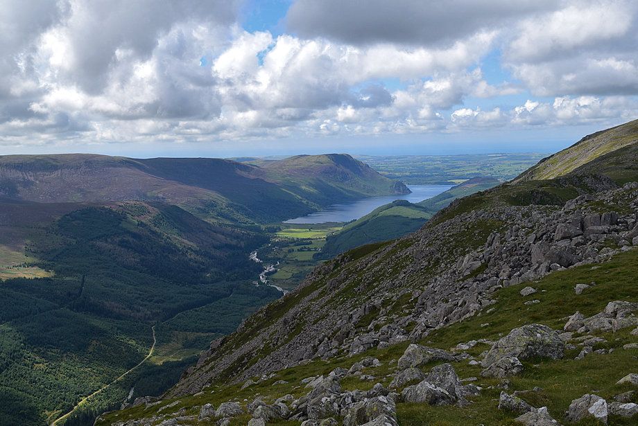 |
| Ennerdale Water from the summit of High Crag |
 |
| High Stile from the summit of High Crag |
 |
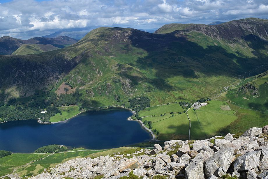
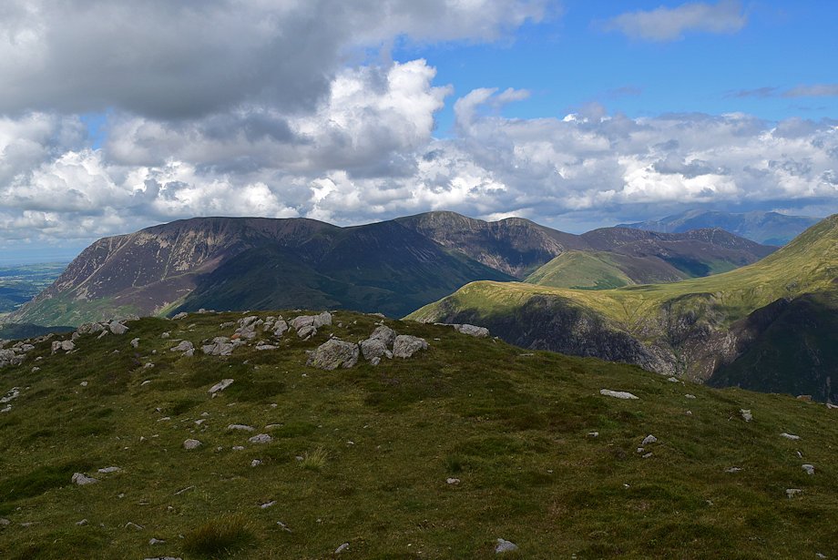
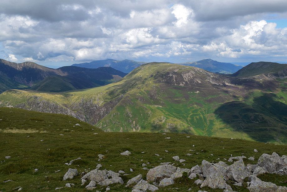
| Grasmoor, Whiteless Pike, Wandope, Eel Crag and Sail from the summit of High Crag |
 |
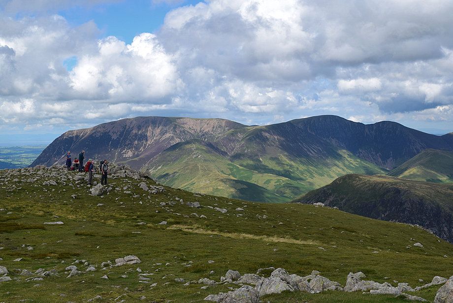
| Robinson flanked by Skiddaw and Blencathra in the distance with Hindscarth on the right from the summit of High Crag |
 |
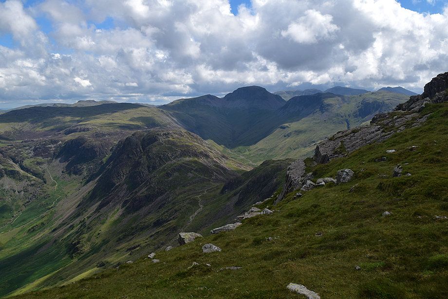
| The Helvellyn range over Dale Head and Fleetwith Pike |
 |
| The head of Ennerdale from the summit of High Crag |
|