 |
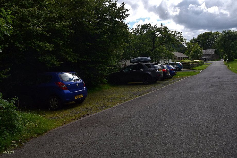
| The small car park at Burnbanks is the starting point for this walk |
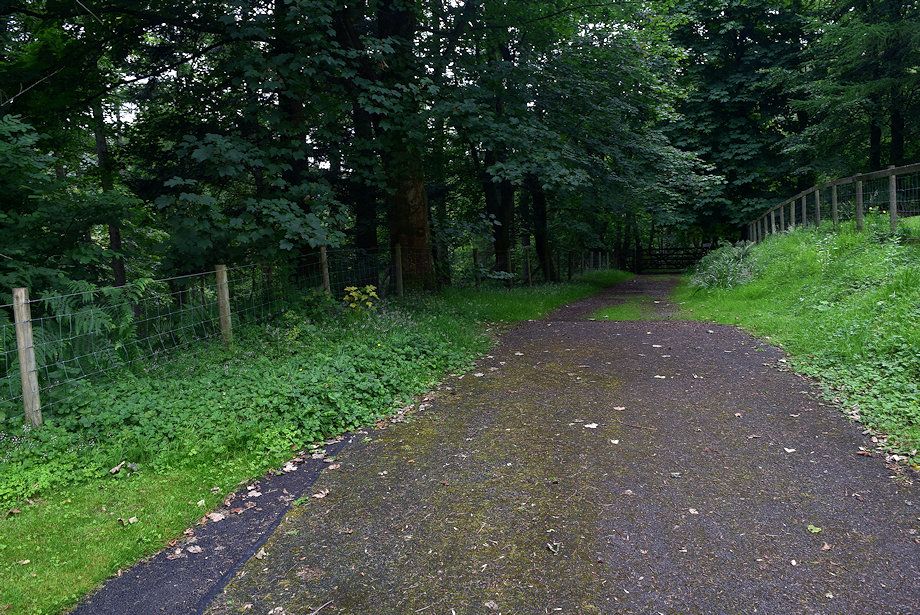 |
| Walk through the hamlet to the end of the surfaced road and onto a path which turns right through a hand-gate |
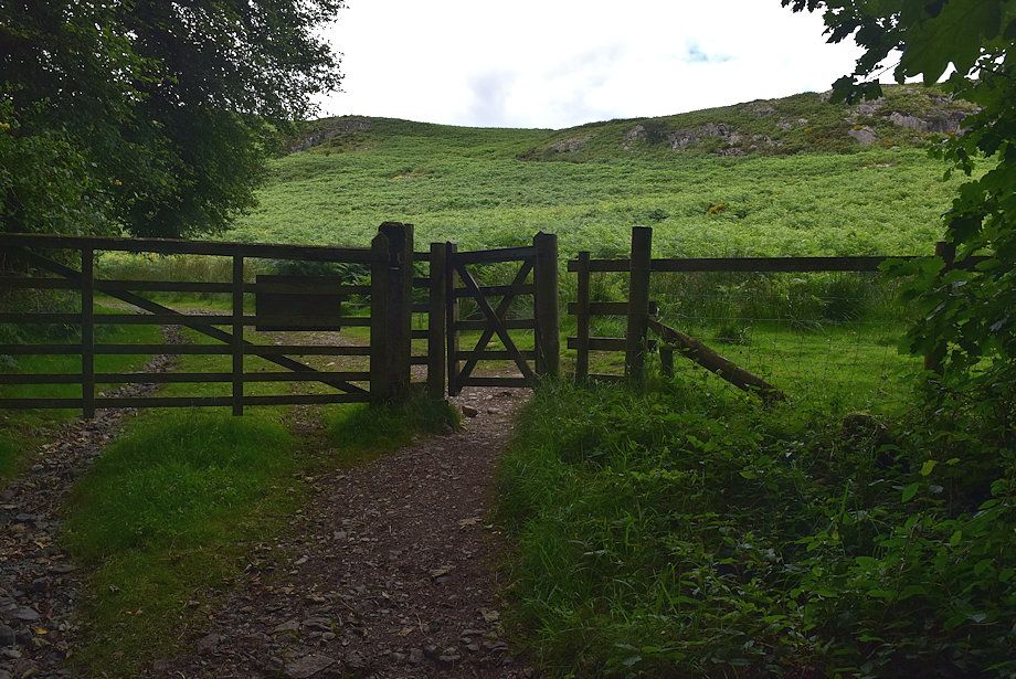 |
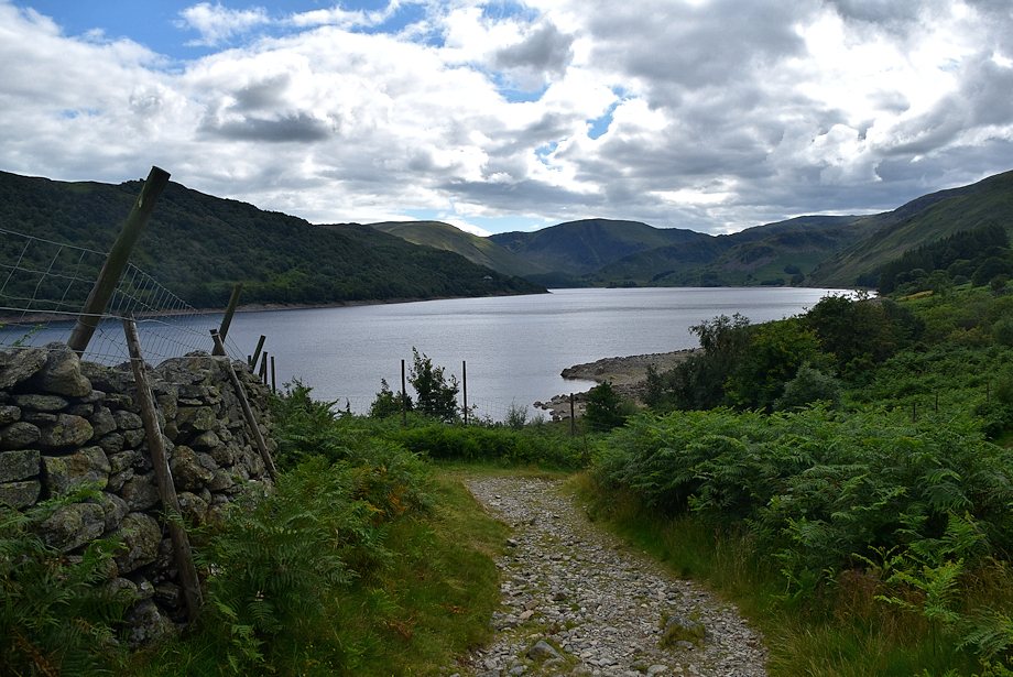
| The path rises to another hand-gate to join a wide track which runs west beside the woodland edge above Haweswater |
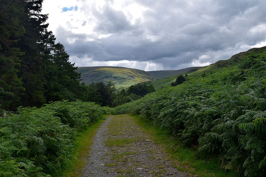 |
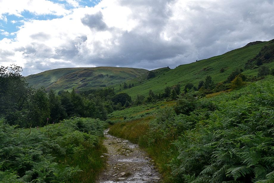
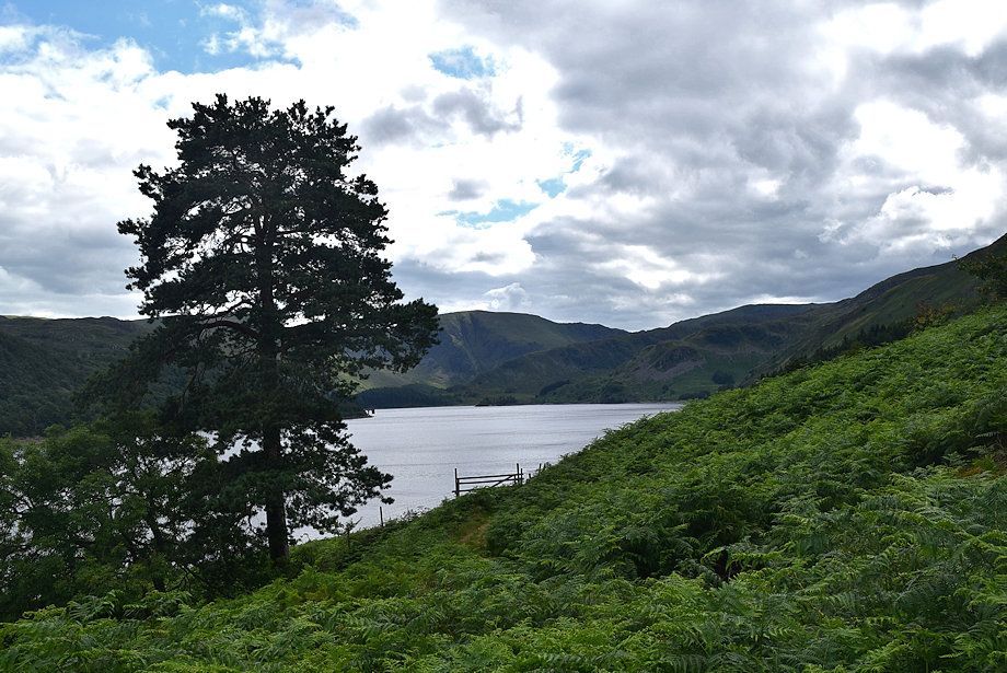
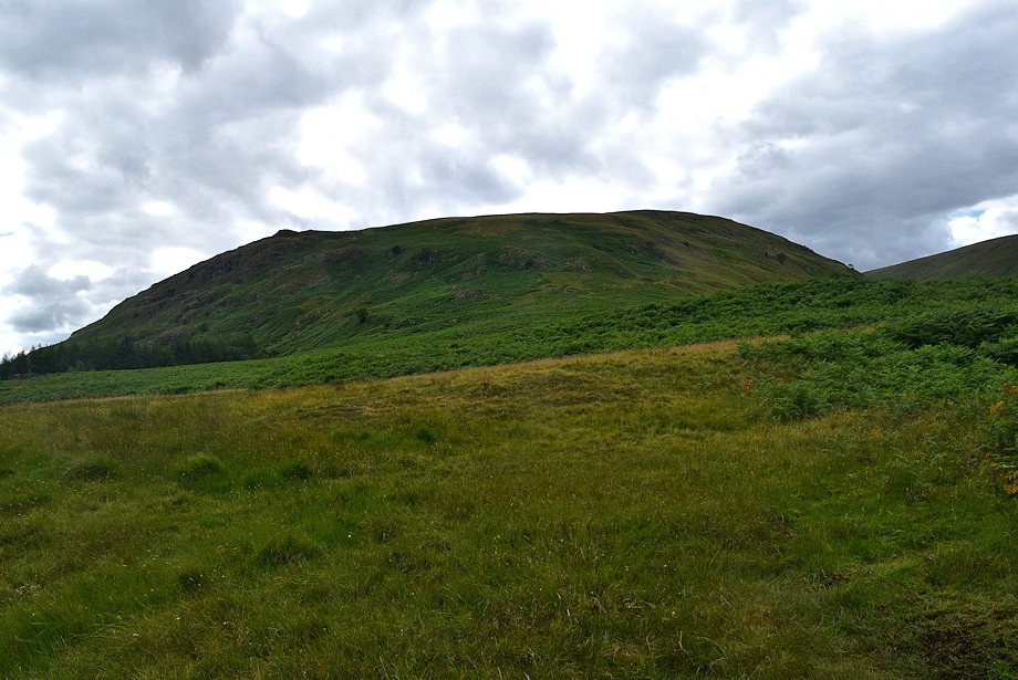
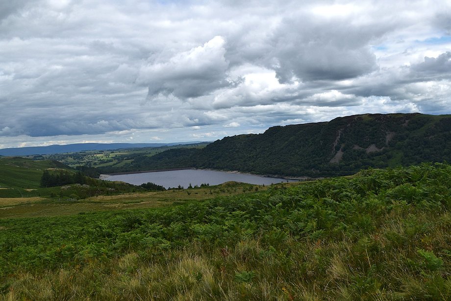
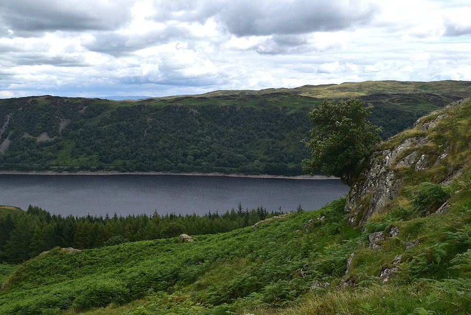
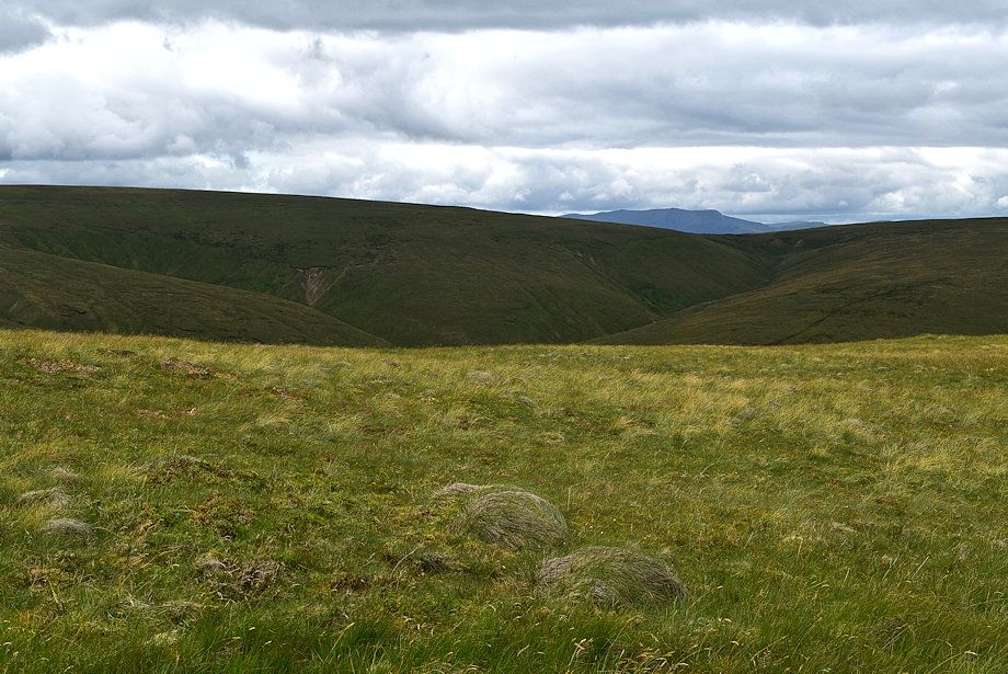
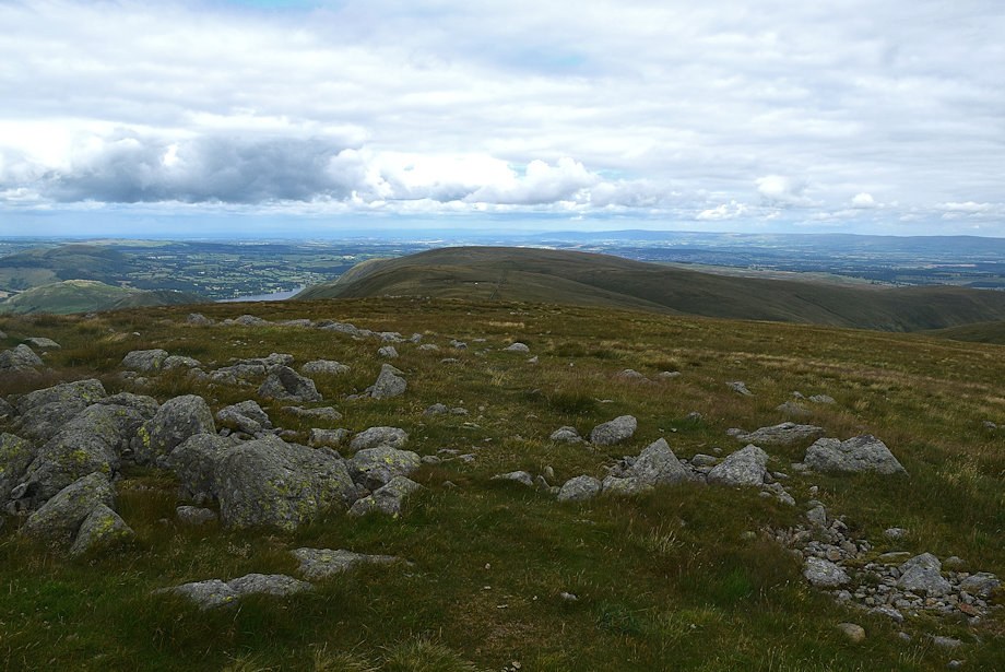
| Measand End, which provides the route of ascent to High Raise, comes into view |
 |
| Haweswater |
 |
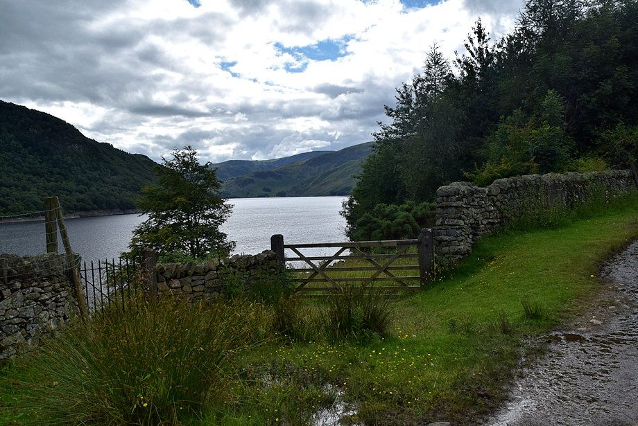
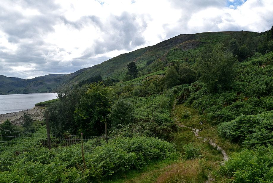
| The track, which forms part of the Coast to Coast long distance path runs below the steep slopes of Four Stones Hill |
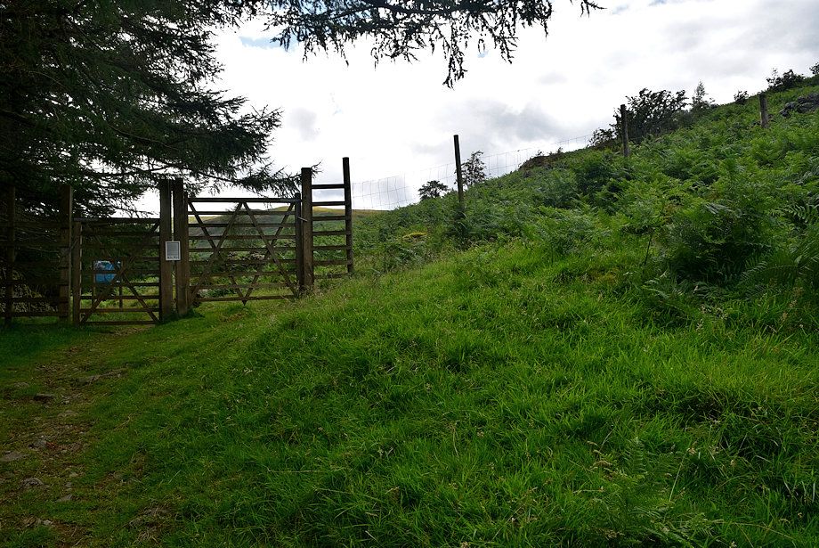 |
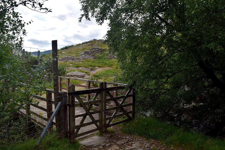
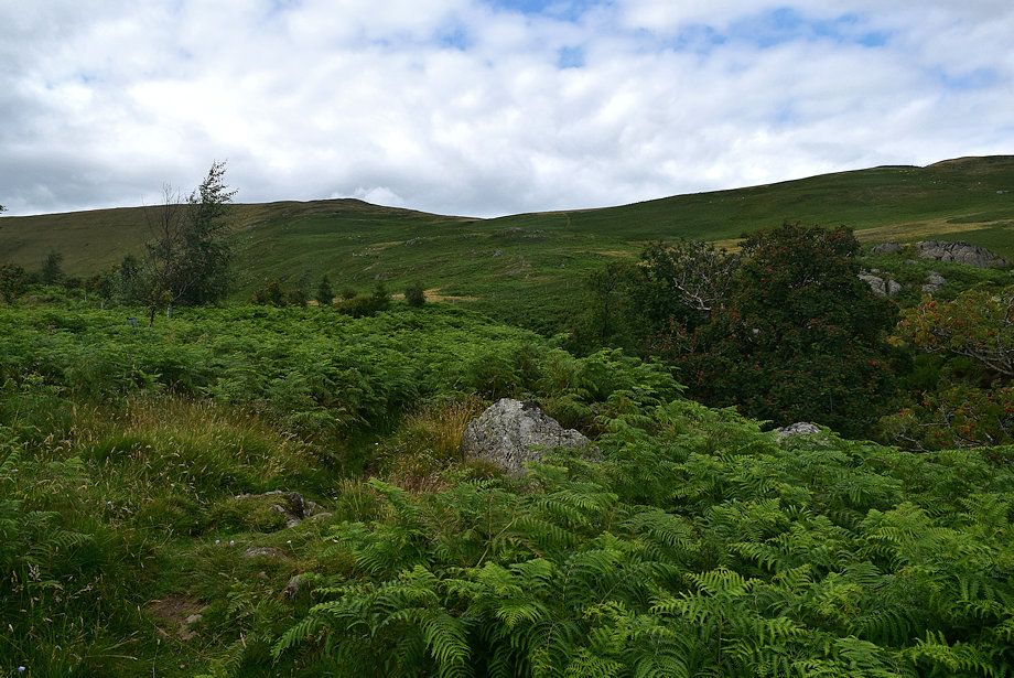
| The path passes through a gate in the deer exclusion fence which protects a large area of a new plantation |
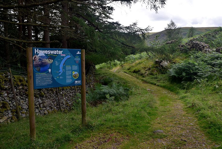 |
| Information board just beyond the deer fence gate which explains the conservation work being done around Haweswater |
 |
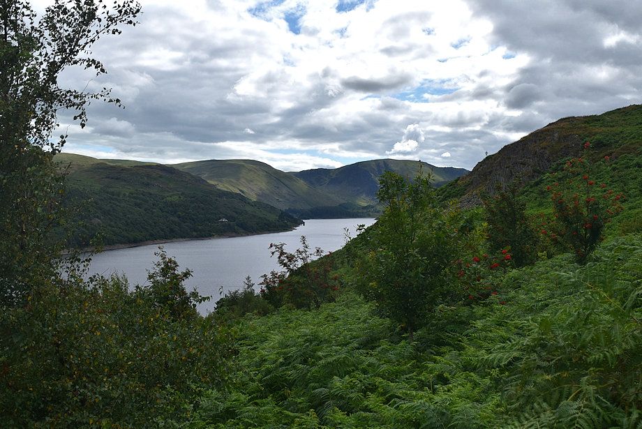
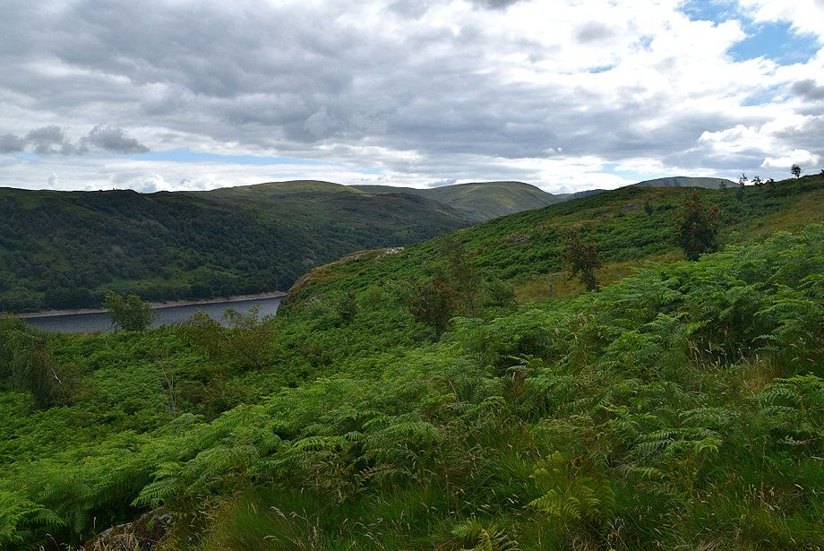
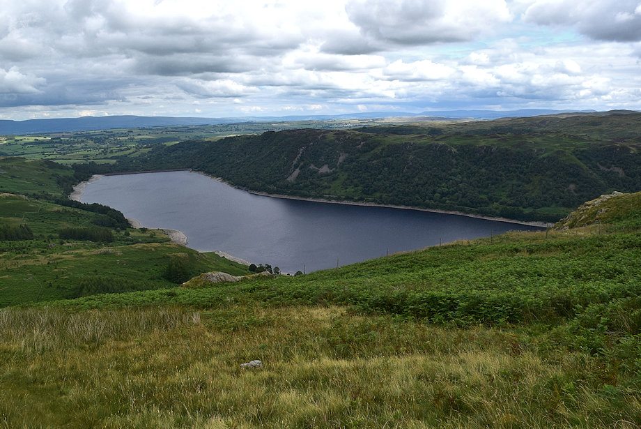
| The view opens out to the head of Haweswater |
 |
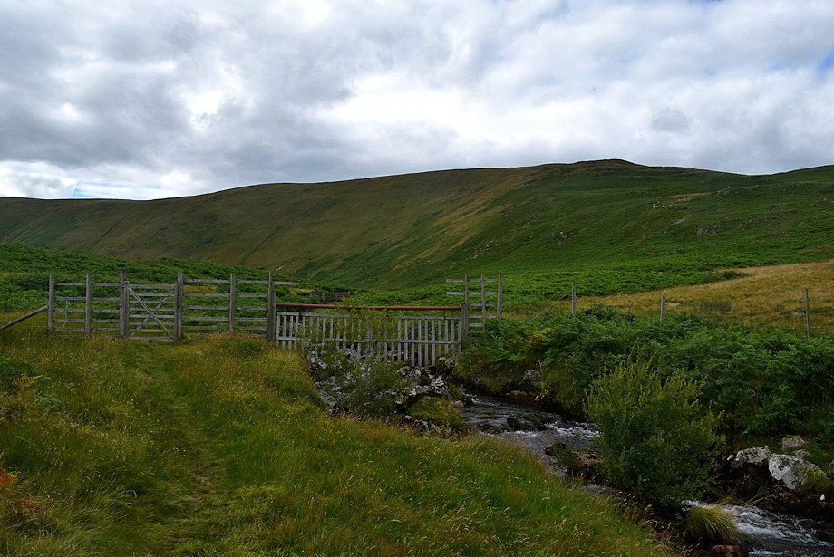
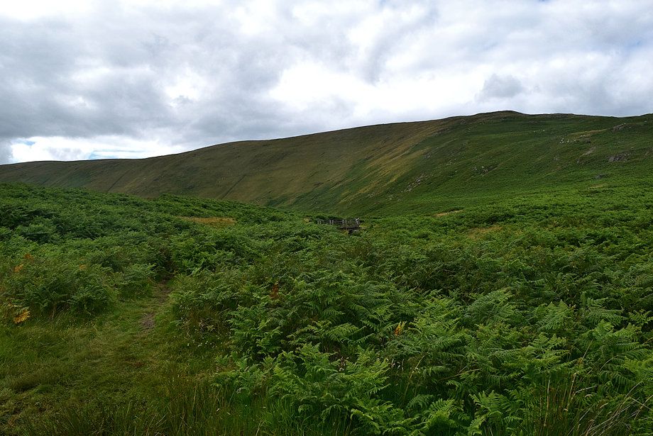
| The path passes through the fenced enclosure towards the footbridge over Measand Beck |
 |
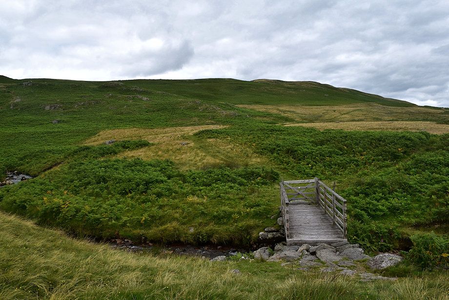
| The footbridge over Measand Beck |
 |
| Just beyond the footbridge leave the Coast to Coast path for a path with an indistinct start that climbs to the left of The Forces ravine |
 |
| The head of Haweswater from the start of the climb alongside The Forces ravine |
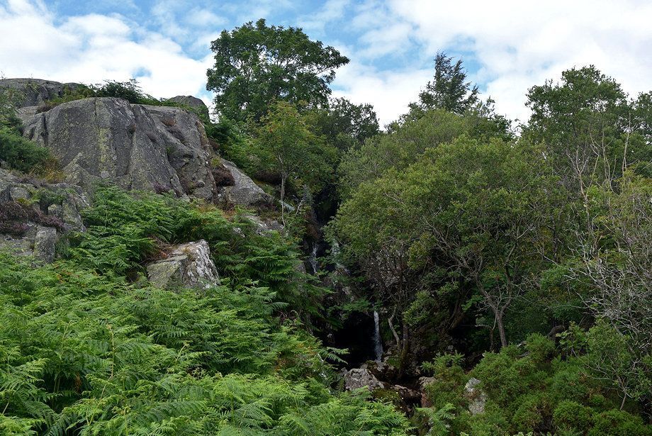 |
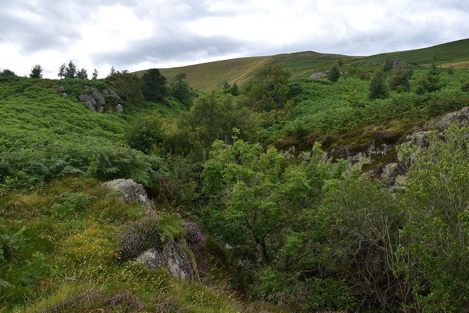
| Much of the ravine is shrouded by trees so that the path only offers occasional glimpses of the series of impressive waterfalls in its bed |
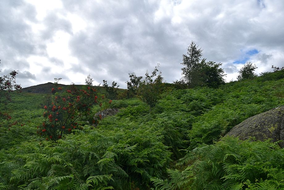 |
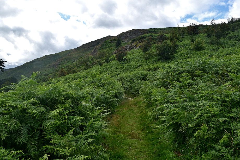
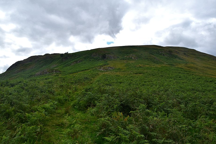
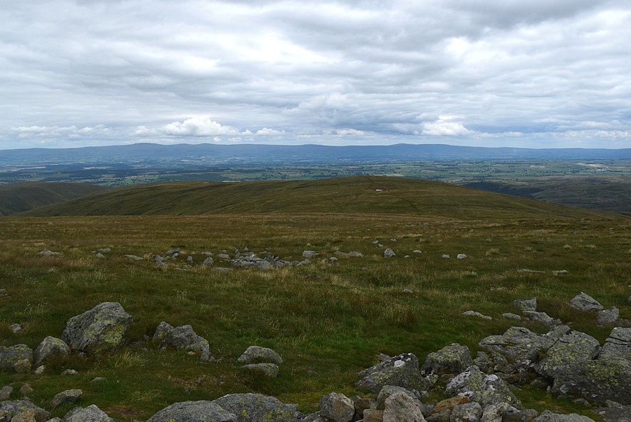
| The new plantation of mainly birch and rowan on each side of the ravine is becoming well established. Over to the left Lad Crag on Measand End is visible which provides an excellent viewpoint over Haweswater |
 |
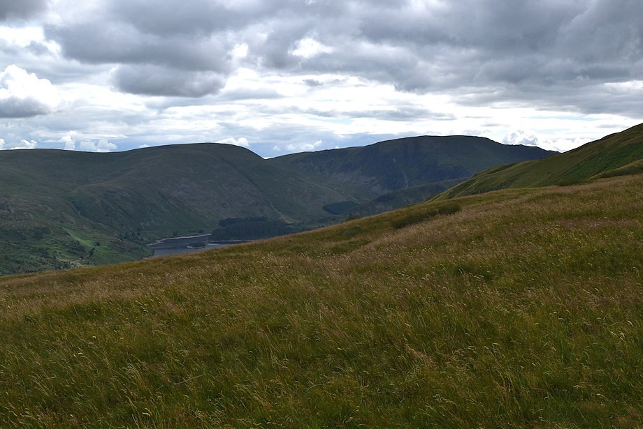
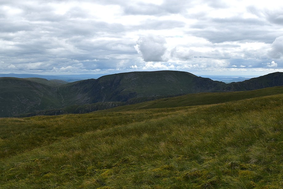
| Branstree and Harter Fell at the head of Haweswater |
 |
| The path keeps well to the left of the ravine which is very deep with sheer side walls |
 |
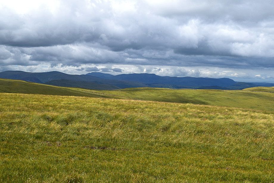
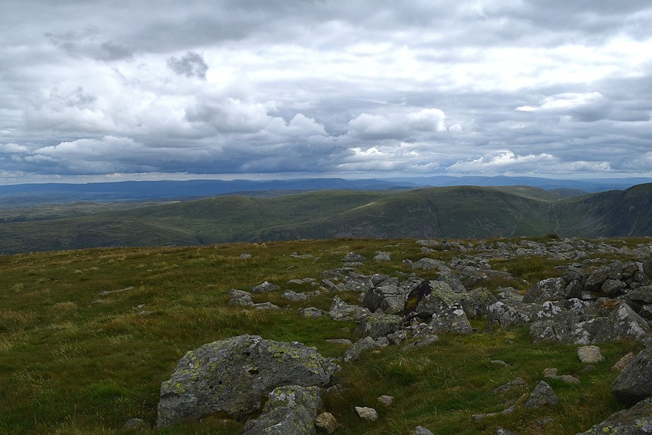
| Looking over towards Selside Pike, High Howes and Branstree on the far side of Haweswater |
 |
| Approaching the end of the ravine from where the path passes through a gate in the deer fence |
 |
| Low Kop from the deer fence gate |
 |
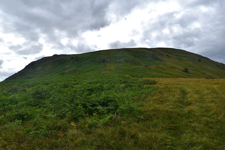
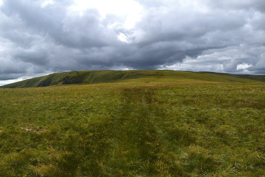
| Measand End from the deer fence gate |
 |
| From the gate the path continues on towards a footbridge over Measand Beck on the edge of Fordingdale Bottom |
 |
| The footbridge over Measand Beck |
 |
| Measand End from the footbridge |
 |
| Hugh's Laithes Pike and Wallow Crag across Haweswater |
 |
| The 600ft ascent of Measand End is the steepest part of the whole walk |
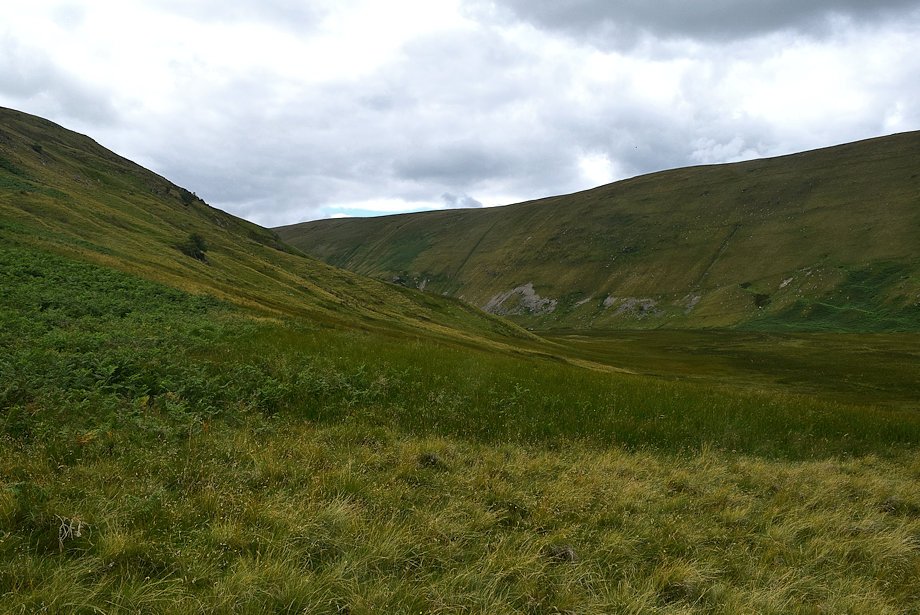 |
| Looking across Fordingdale Bottom to the steep flank of Screel Side |
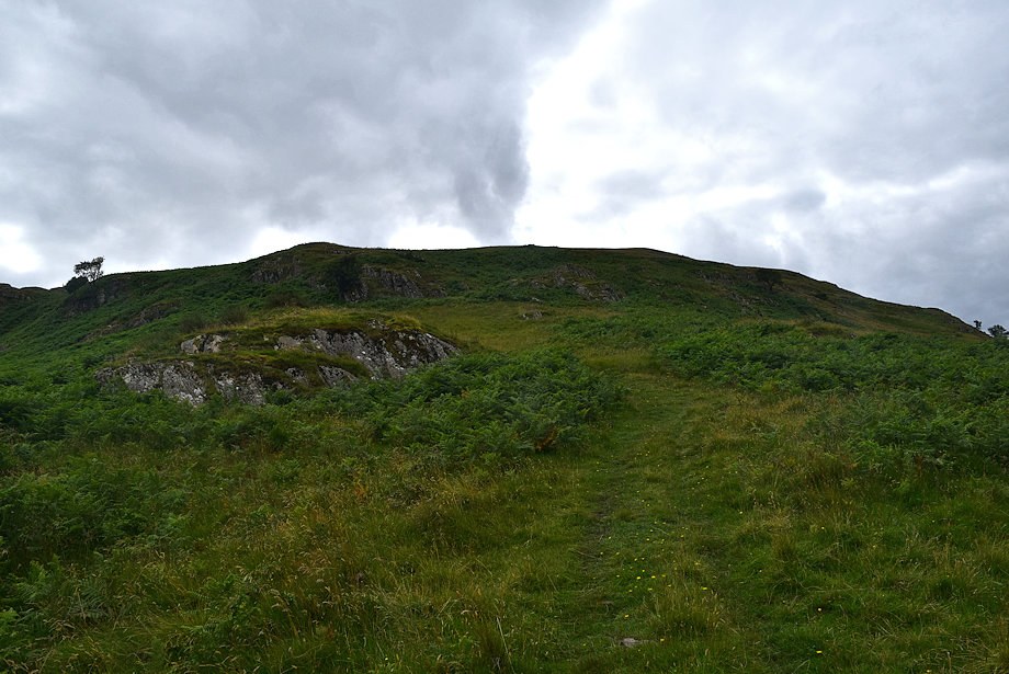 |
| The path up Measand End is an old drove way which winds its way around craggy outcrops |
 |
| Haweswater across one of the outcrops |
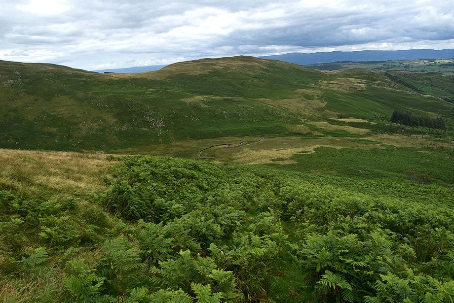 |
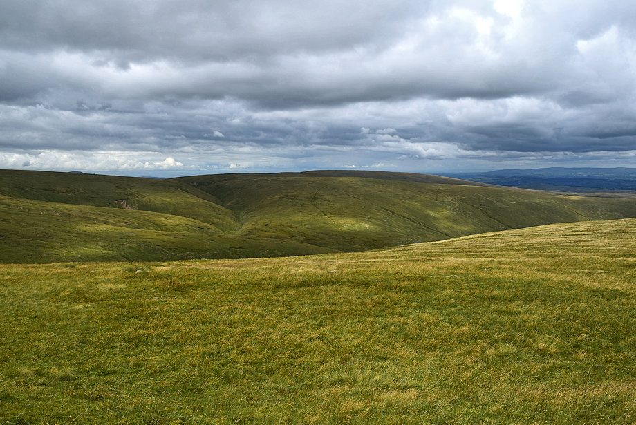
| Looking down on Fordingdale Bottom backed by Bampton Fell |
 |
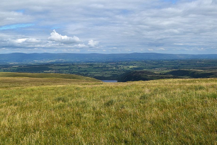
| Haweswater from near the top of Measand End |
 |
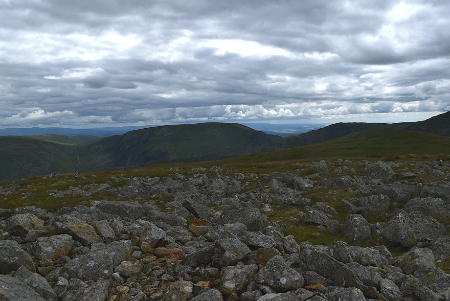
| Looking over towards Selside Pike, High Howes and Branstree |
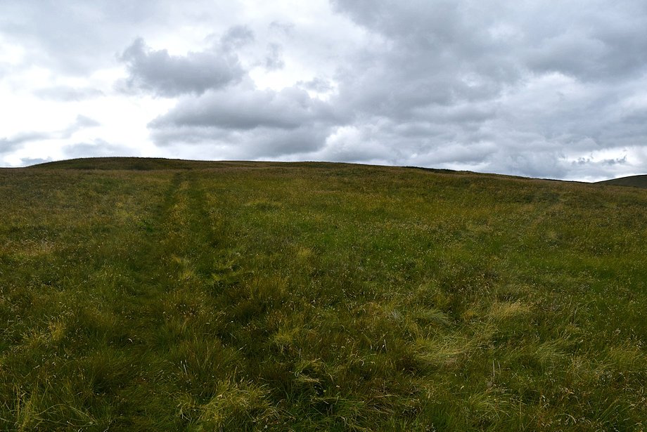 |
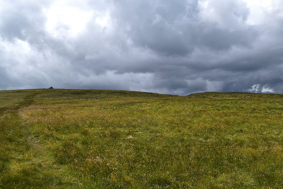
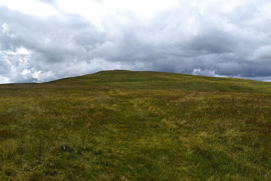
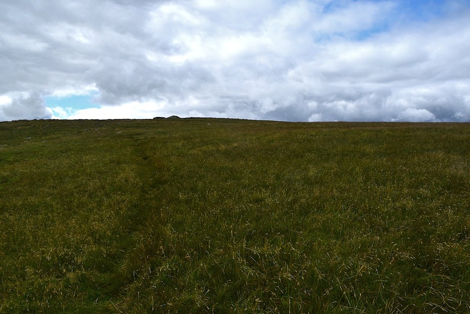
| Approaching the top of Measand End |
 |
| Haweswater from the top of Measand End |
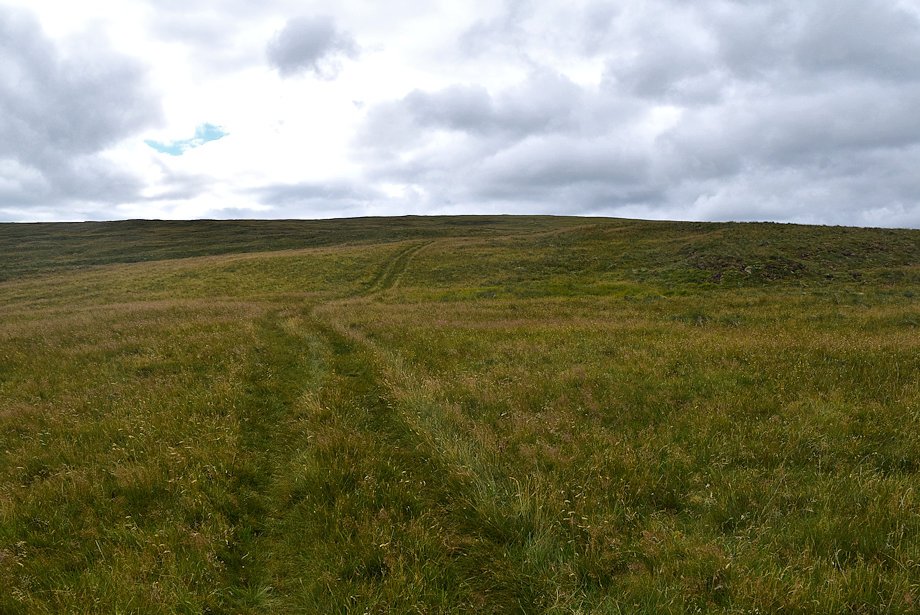 |
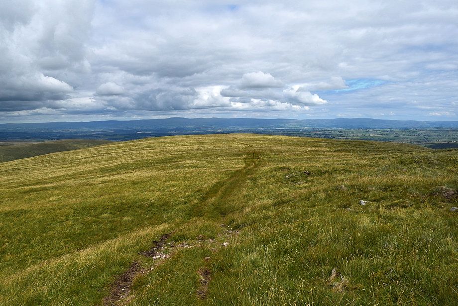
| The way ahead continues on a quad bike track over Long Grain, the track leads all the way to the summit of High Raise |
 |
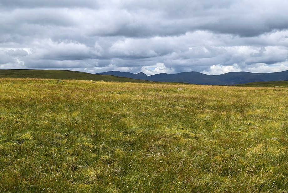
| Looking over towards Branstree and Harter Fell |
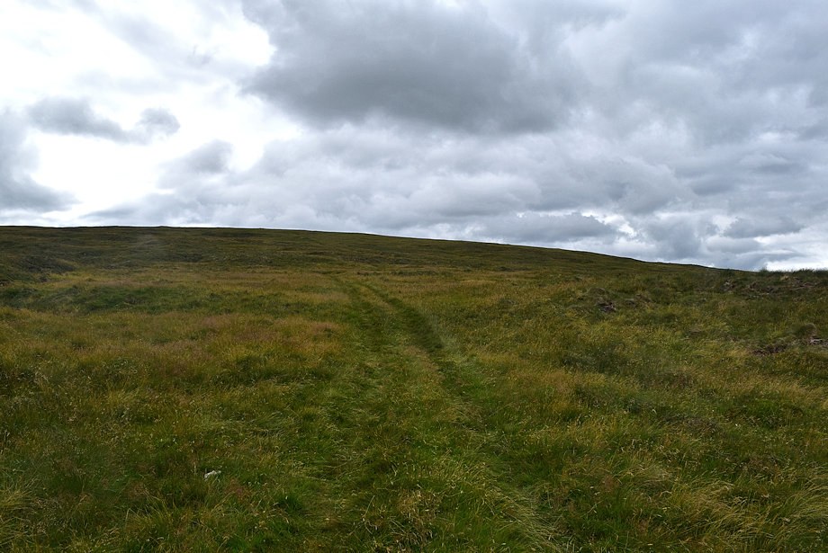 |
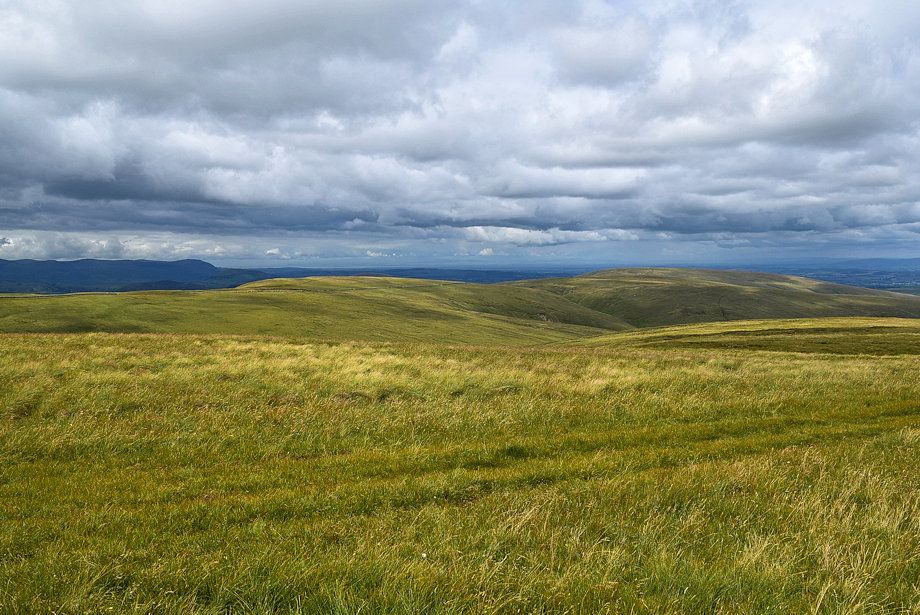
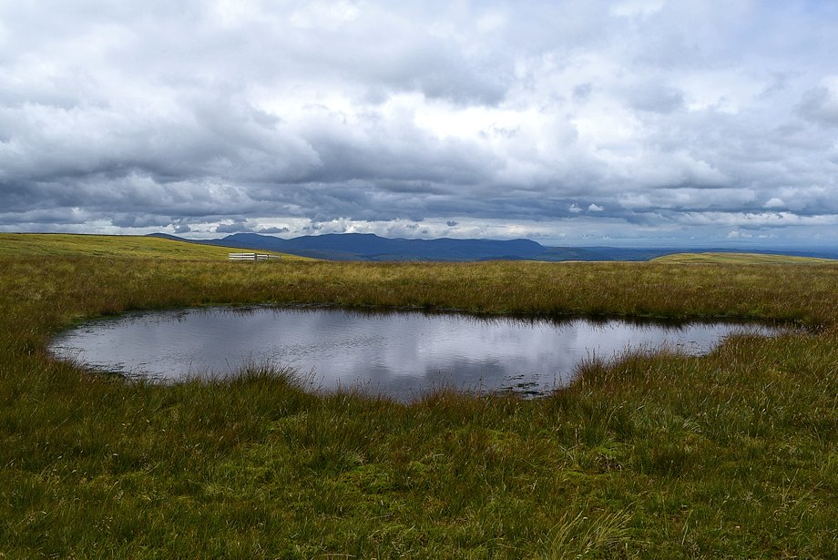
| The bleak lower slope of Long Grain, an area of slumped peat hags and pools which the track manages to avoid |
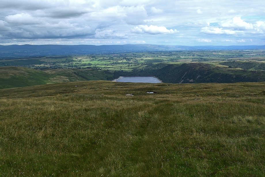 |
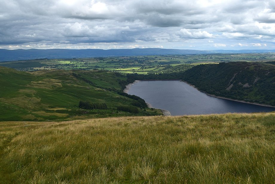
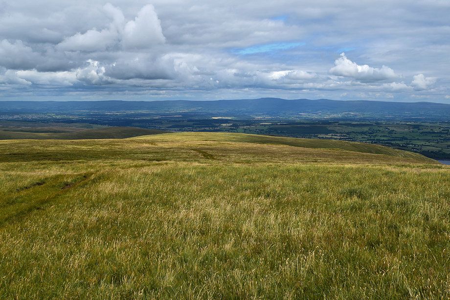
| Looking back to Haweswater dam from higher on Long Grain |
 |
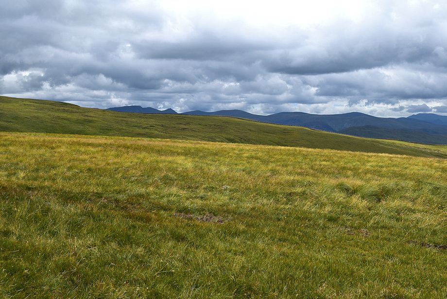
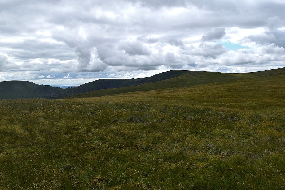
| Looking over to Loadpot Hill from Long Grain |
 |
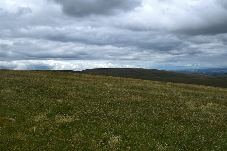
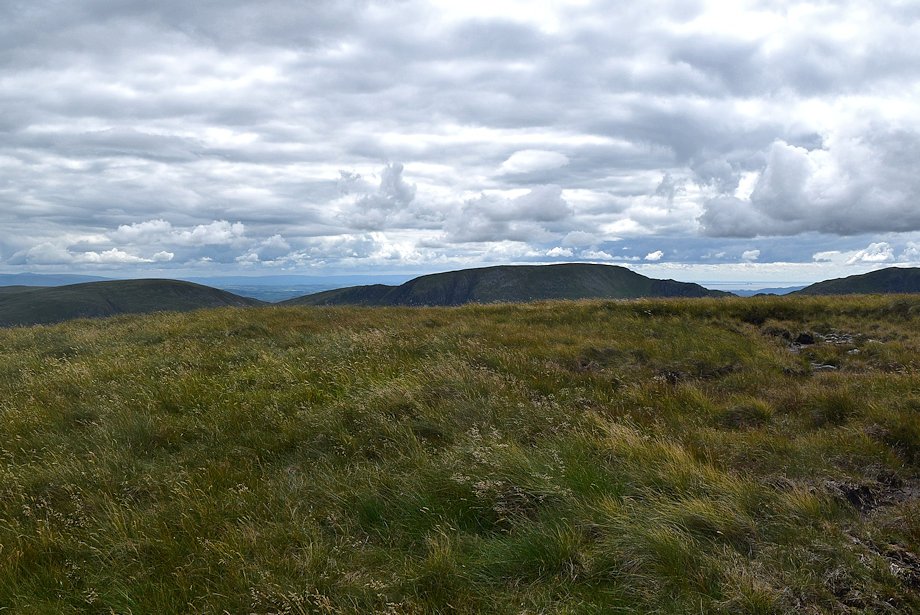
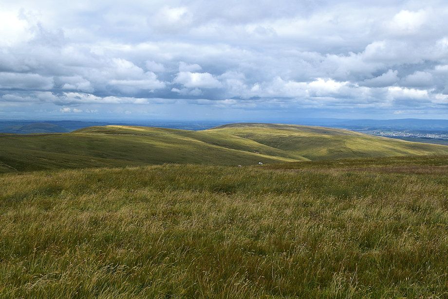
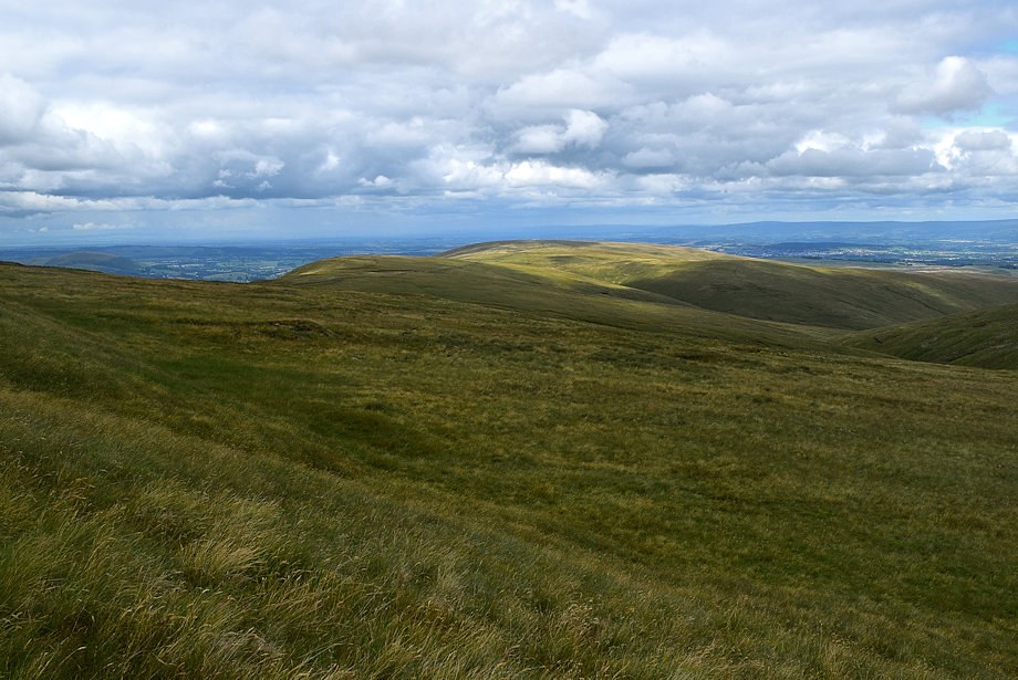
| The summits of Low Raise and High Raise come into view |
 |
| Looking over towards Blencathra above Keasgill Head |
 |
| The quad bike track curves above Bason Crag and Whelter Crags to reach the summit cairn on Low Raise |
 |
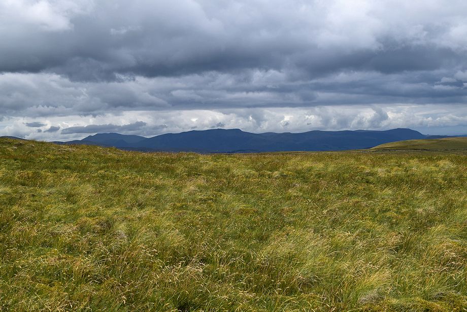
| Wether Hill and Loadpot Hill across the valley of Measand Beck |
 |
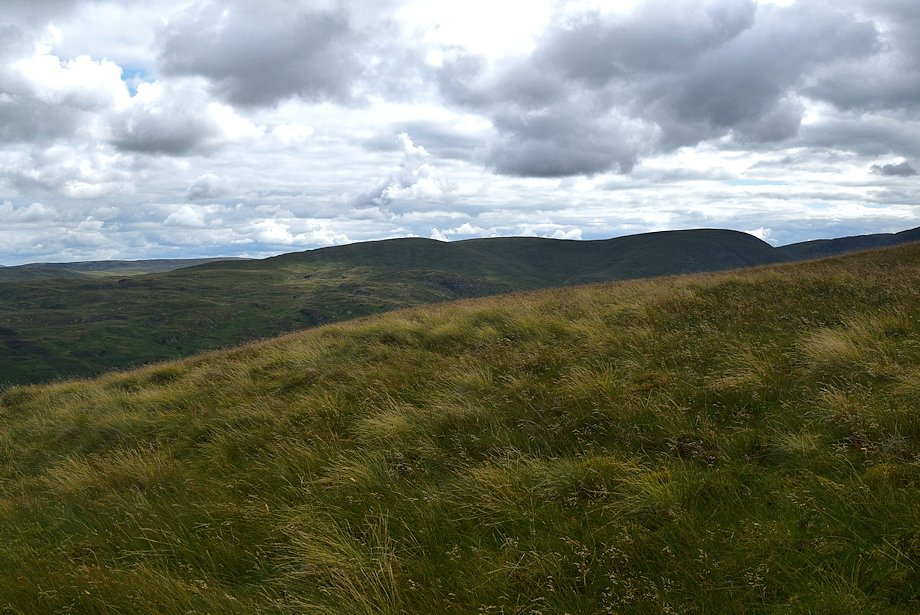
| Looking back along Long Grain |
 |
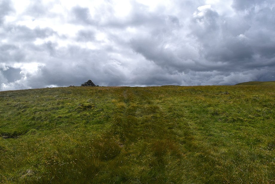
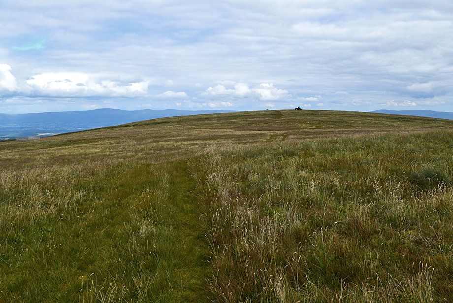
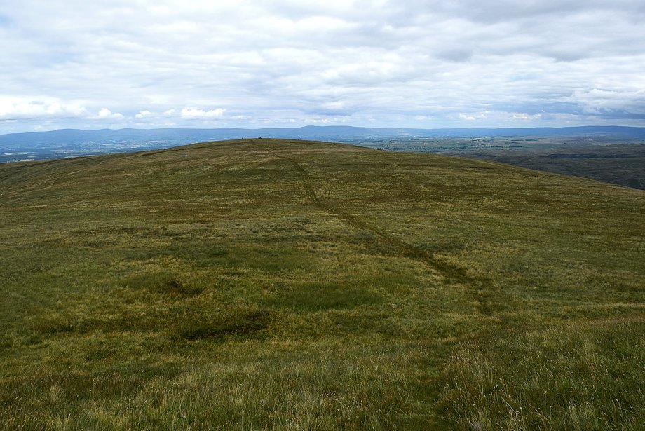
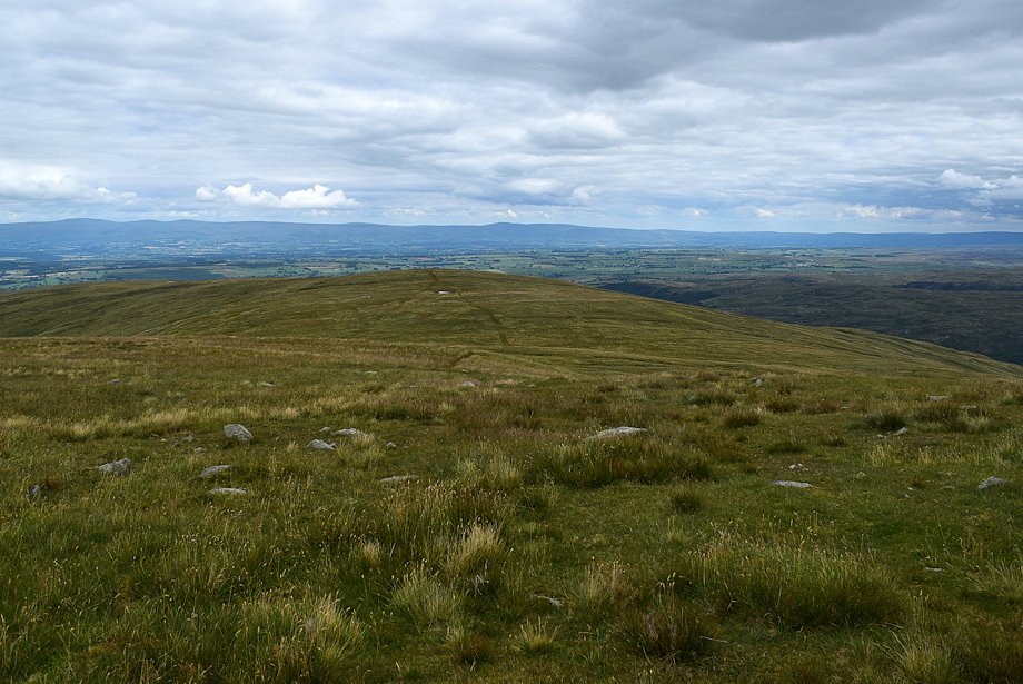
| The summit cairn on Low Raise comes into view |
 |
| Looking over towards Helvellyn, Catstycam, White Side, Raise and Stybarrow Dodd |
 |
| Skiddaw and Blencathra |
 |
| Approaching the summit of Low Raise |
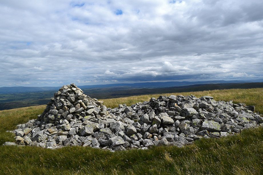 |
| The summit cairn on Low Raise, built from the remnants of an ancient ring cairn |
 |
| Wether Hill and Loadpot Hill from the summit of Low Raise |
 |
| Cross Fell, Little Dun Fell and Great Dun Fell on the horizon |
 |
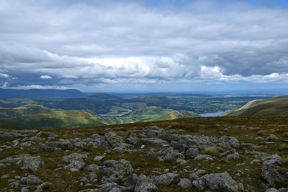
| Haweswater dam from the summit of Low Raise |
 |
| Branstree and Harter Fell from the summit of Low Raise |
 |
| Mardale Il Bell, High Street and Kidsty Pike from the summit of Low Raise |
 |
| High Raise from the summit of Low Raise |
 |
| Helvellyn, Catstycam, White Side, Raise, Stybarrow Dodd, Great Dodd and Skiddaw from the summit of Low Raise |
 |
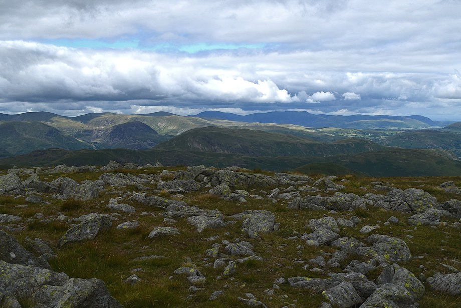
| The Northern Fells on the far horizon extending from Skiddaw to Carrock Fell |
 |
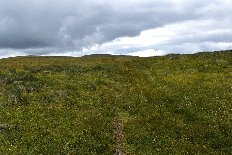
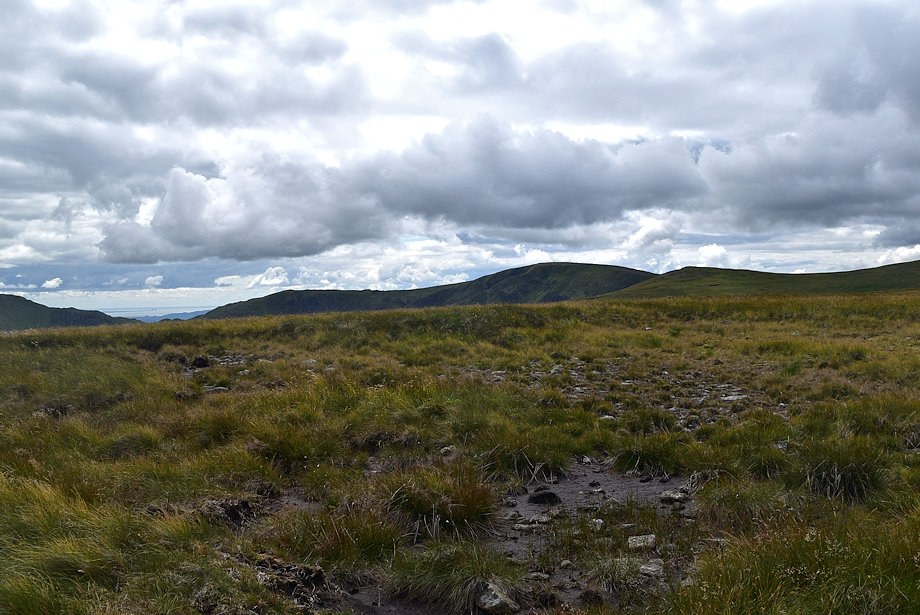
| The quad bike track continues on towards High Raise crossing the shallow col between the tops on the way |
 |
| Looking over to the Northern Fells on the way to the col |
 |
| Looking back to the summit of Low Raise from the col |
 |
| Wether Hill and Loadpot Hill from the col |
 |
| Harter Fell, Mardale Ill Bell and High Street from the col |
 |
| Blencathra and Carrock Fell from the col |
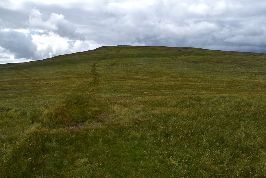 |
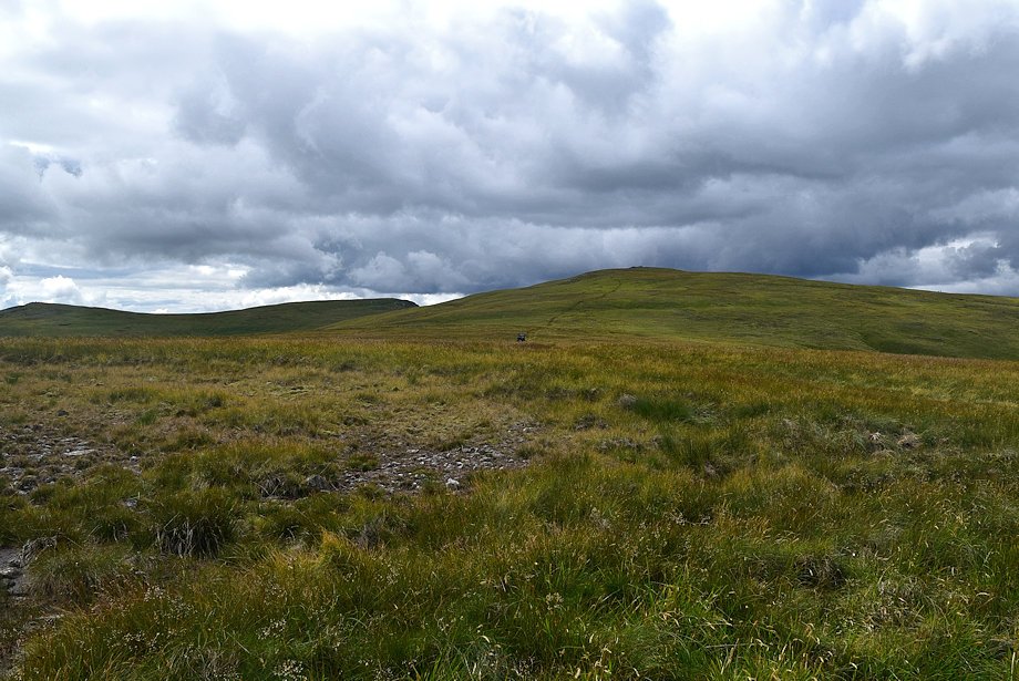
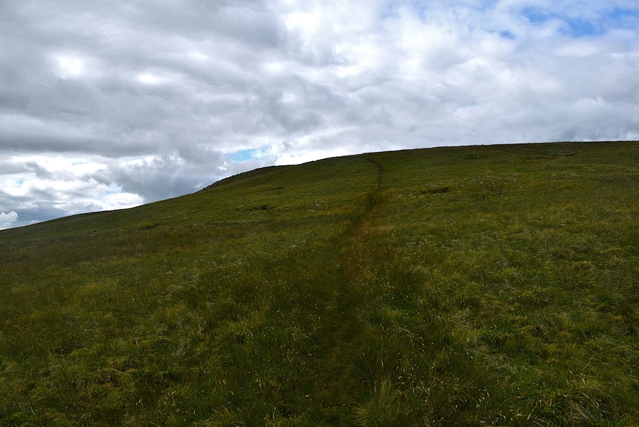
| Starting the climb to High Raise from the col |
 |
| Looking back to Low Raise from the start of the climb to High Raise |
 |
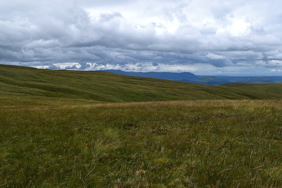
| Wether Hill and Loadpot Hill from the climb to High Raise |
 |
| The steepest part of the climb |
 |
| Looking over to Harter Fell flanked by Gatescarth Pass and Nan Bield Pass |
 |
| The summit cairn and windshelter comes into view as the angle of the slope gradually eases |
 |
| Looking back to Low Raise from just below the summit of High Raise |
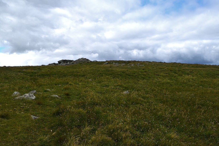 |
| Approaching the summit of High Raise |
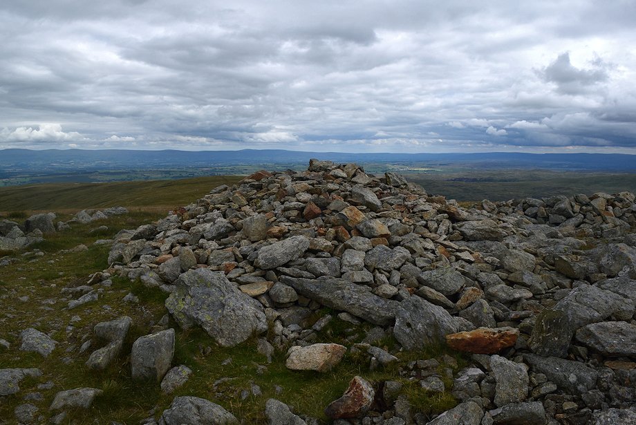 |
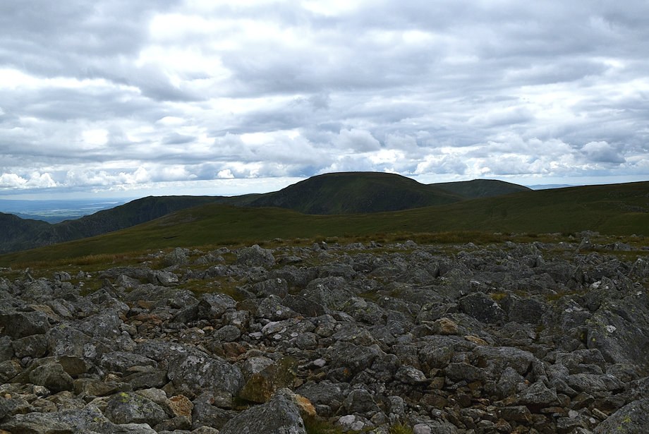
| The summit cairn on High Raise |
 |
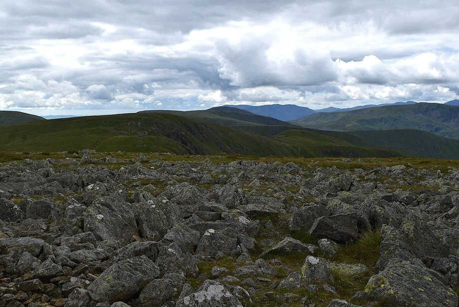
| Wether Hill and Loadpot Hill from the summit of High Raise |
 |
| Low Raise from the summit of High Raise |
 |
| Selside Pike, High Howes and Branstree from the summit of High Raise |
 |
| Harter Fell from the summit of High Raise |
 |
| Mardale Ill Bell, Kidsty Pike, High Street and Thornthwaite Crag from the summit of High Raise |
 |
| The Coniston Fells in the centre distance with Rampsgill Head, Caudale Moor and Red Screes to the left of them |
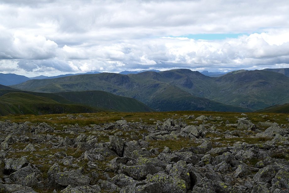 |
| The Fairfield group of fells from the summit of High Raise |
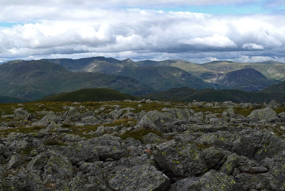 |
| The Helvellyn range from the summit of High Raise |
 |
| Skiddaw and Blencathra on the centre horizon from the summit of High Raise |
 |
| Ullswater from the summit of High Raise |
