
| Hartsop above How - Route One |
| Start - Bridgend NY 399 144 | Distance - 2.2 miles | Ascent - 1,440 feet | Time - 1 hour : 35 minutes |
 |
| Bridgend in Patterdale at the start of the walk. A stile by the gate gives access to Deepdale Park |
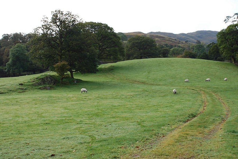 |
| Following the cart track across the lower pasture of Deepdale Park with the ridge of Hartsop above How rising on the right |
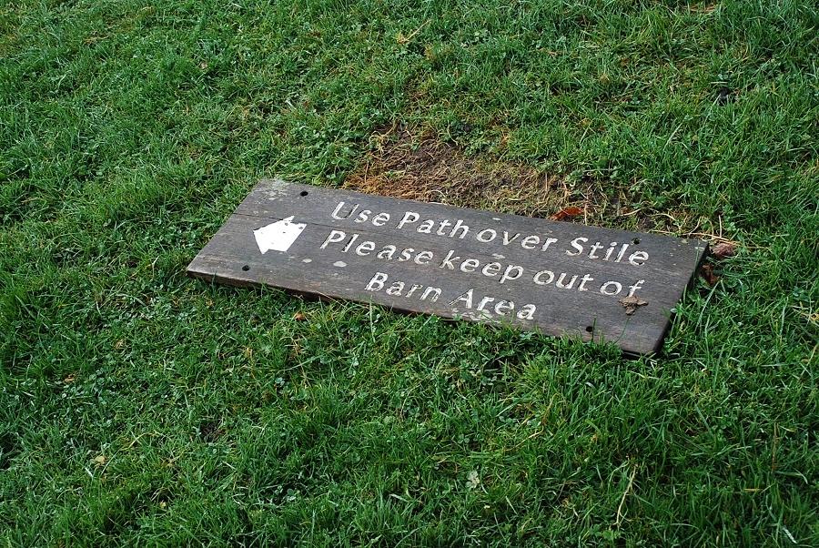 |
| Unfortunately the supporting post has rotted away leaving its sign lying on the grass. No doubt it will be replaced soon |
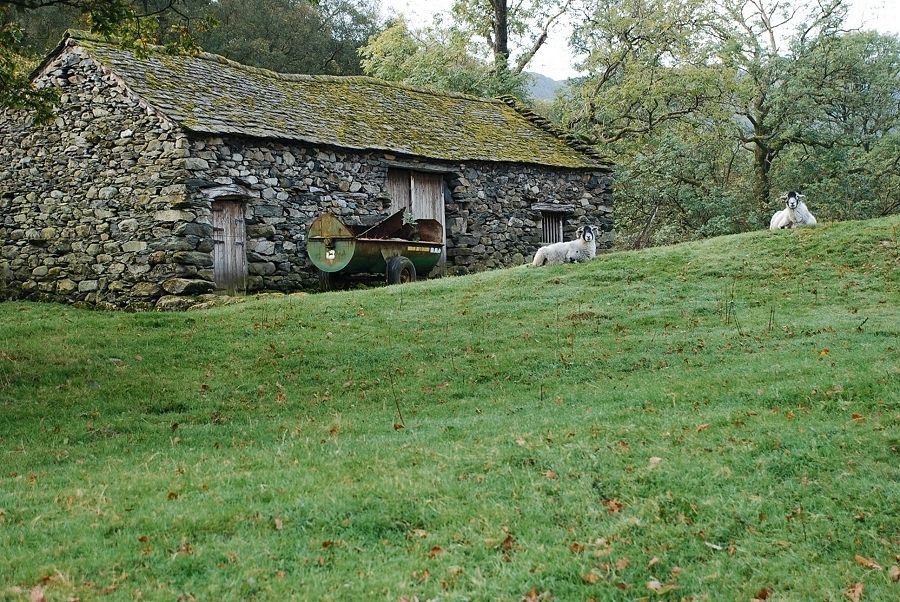 |
| Passing the ancient barn |
 |
| The stile giving access to Low Wood |
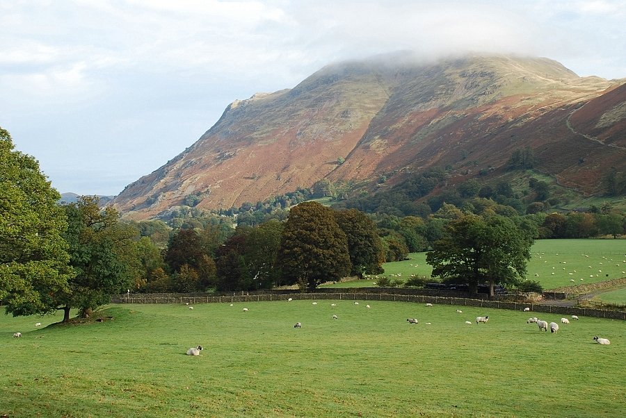 |
| Looking back from the stile to a cloud topped Place Fell |
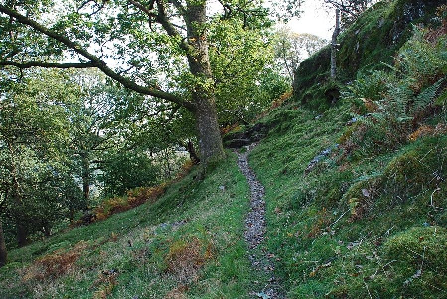 |
| Low Wood extends for two miles along the eastern slopes of Hartsop above How into Dovedale, but this path is only followed for a few hundred yards before leaving the wood via a fence stile |
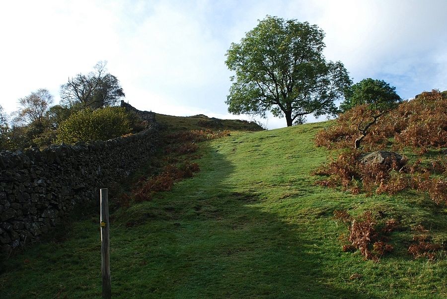 |
| Emerging from Low Wood at a waymark post to enter Deepdale Park once again |
 |
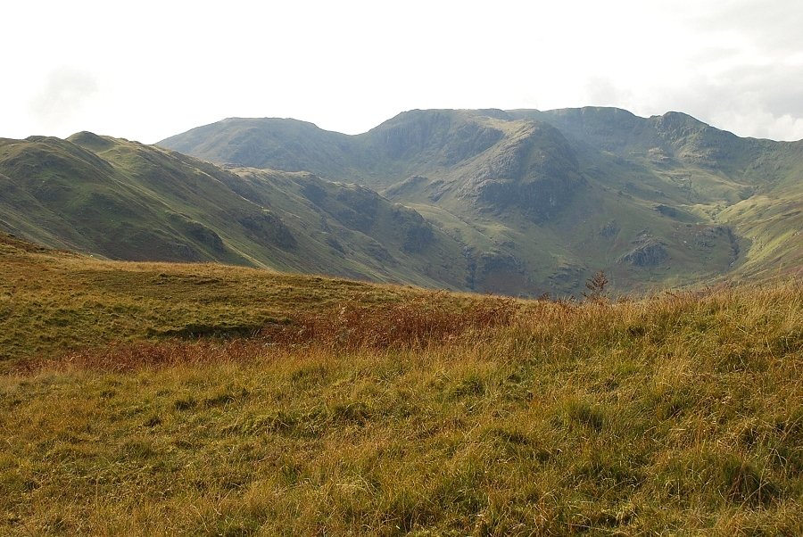
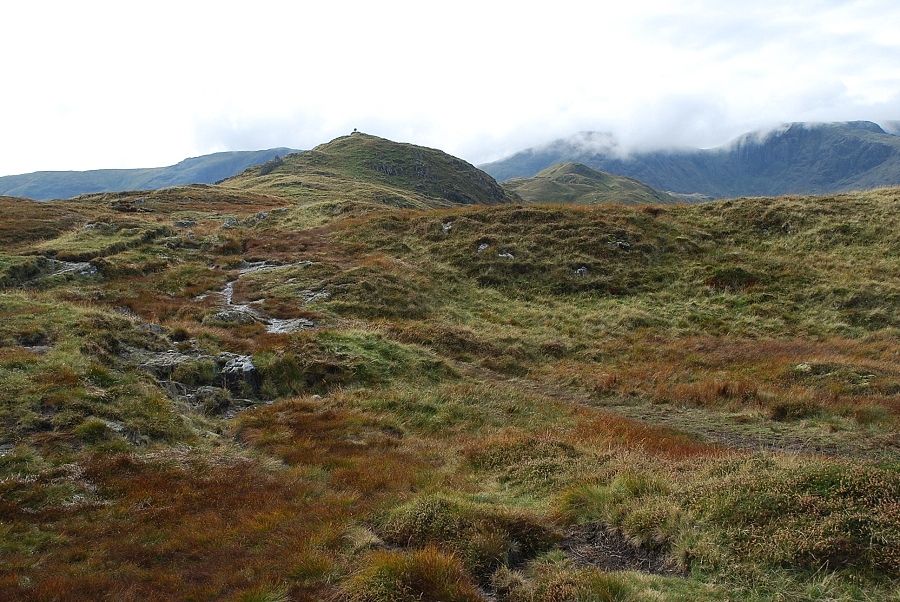
| Looking towards the head of Deepdale from the waymark post. Clouds are spilling over the summit ridge of Fairfield. Greenhow End is almost covered by them but Cofa Pike and Deepdale Hause are still clear |
 |
| All clear looking back to Patterdale |
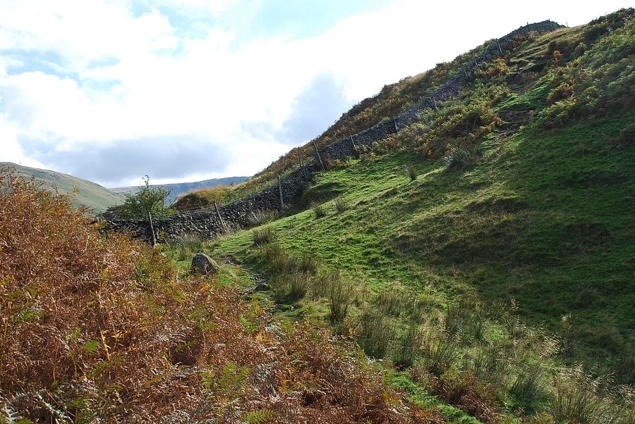 |
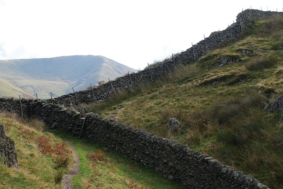
| The way ahead is not in doubt as the path follows the wall along the ridge for the next mile or so |
 |
| Looking over to the east ridge of St.Sunday Crag |
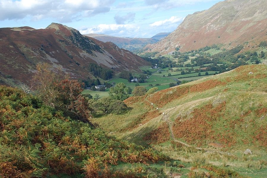 |
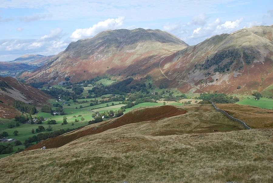
| Looking back along the path through Deepdale Park to Patterdale |
 |
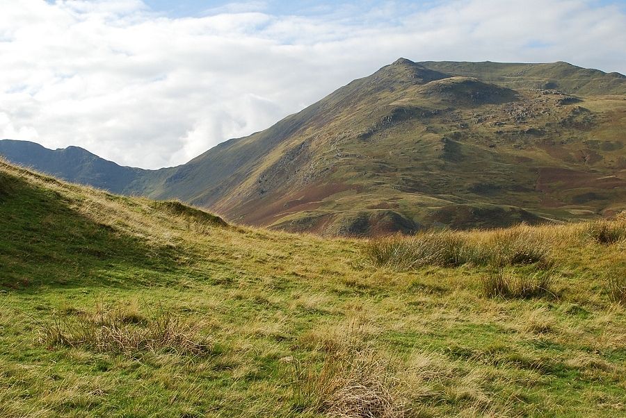
| Gray Crag and Hartsop Dodd |
 |
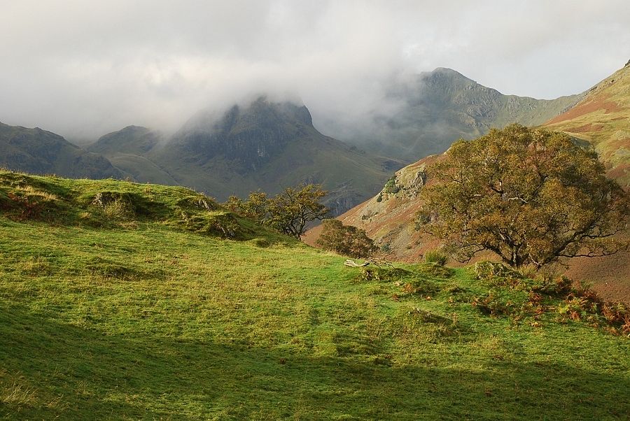
| Cofa Pike and St Sunday Crag |
 |
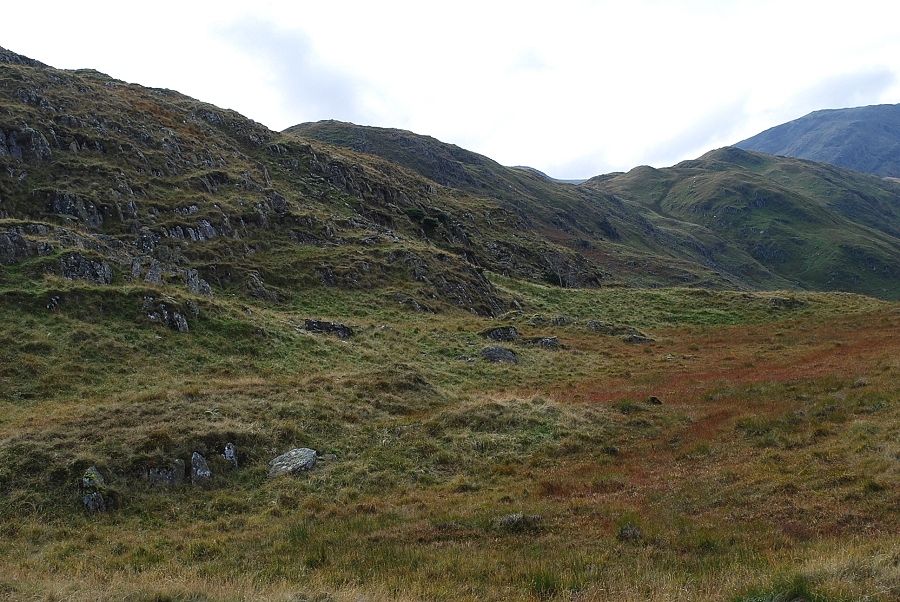
| The path leaves Deepdale Park at a wall stile for the rougher grass slopes of the continuing ridge |
 |
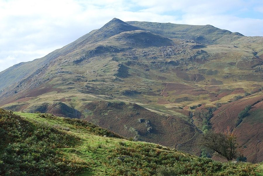
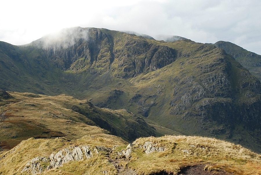
| Fairfield at the head of Deepdale. The summit of Hartsop above How lies just beyond the rounded knoll on the left skyline |
 |
| The start of the steeper section of the ridge |
 |
| Place Fell from below the steeper section |
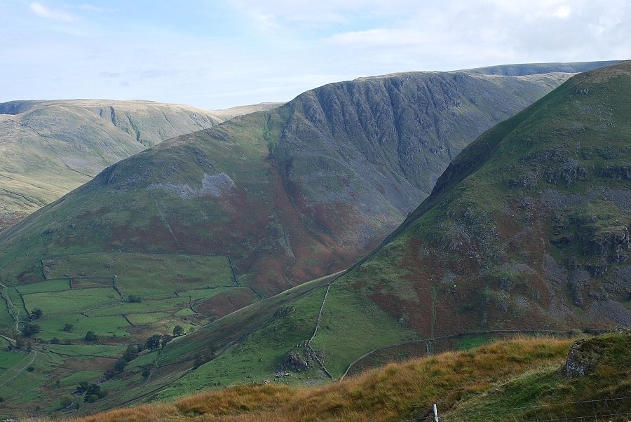 |
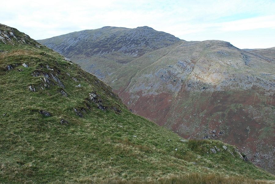
| From the same position, close up of Gray Crag past the steep northern ridge of Hartsop Dodd |
 |
| Looking along the ridge from below the steeper section |
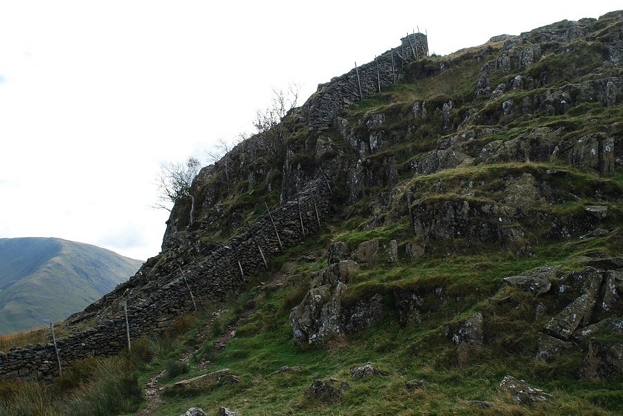 |
| The path follows the wall over a section of steeper rocks which can be avoided by diverting to the right |
 |
| More cloud begins to appear on Hart Crag and Fairfield |
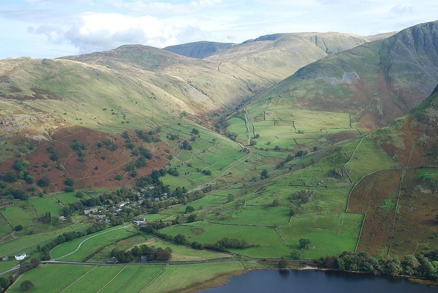 |
| Looking down on the village of Hartsop |
 |
| Looking back to Place Fell and Patterdale |
 |
| Looking back along the ridge to Angletarn Pikes |
 |
| Continuing along the ridge at Hoggill Brow |
 |
| Looking over to the Kirkstone Pass |
 |
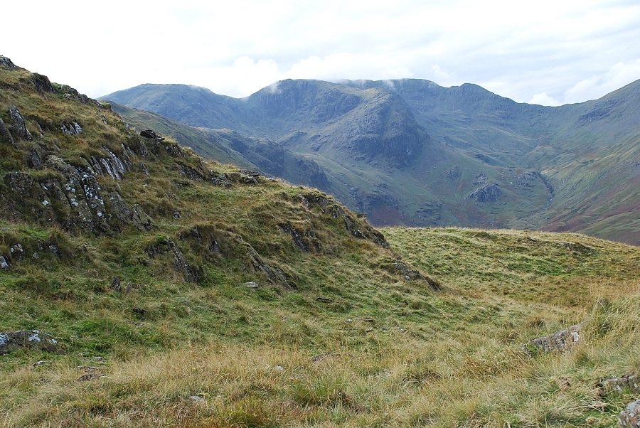
| The ridge wall begins to turn at Hoggill Brow and descends the steep slopes into Dovedale. There is an option to follow it for a short distance before contouring the slopes to visit the top of Dovedale Slabs, a popular climbing crag for novices and a fine viewpoint |
 |
| Looking across to Deepdale Hause |
 |
| Lord's Seat and Gavel Pike on the east ridge of St. Sunday Crag |
 |
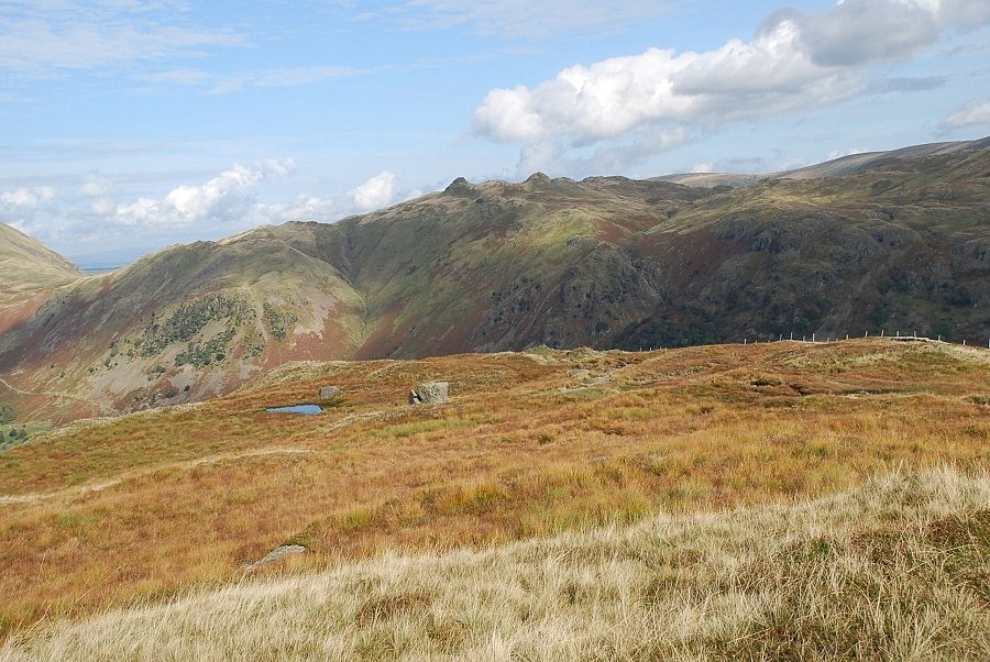
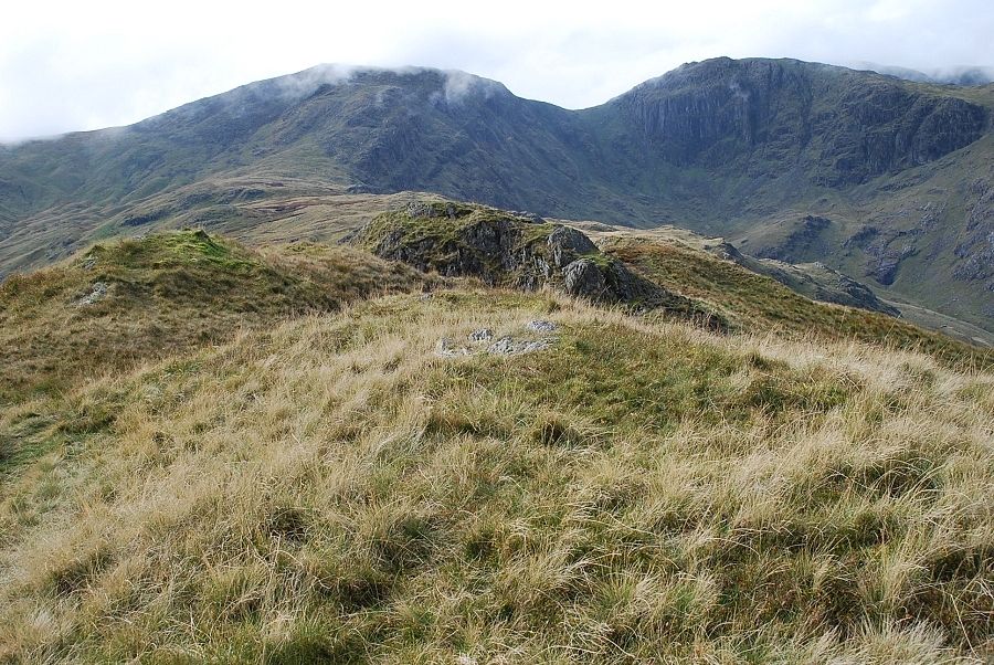
| The summt lies just beyond the prominent knoll at the end of the ridge |
 |
| Looking back on the route |
 |
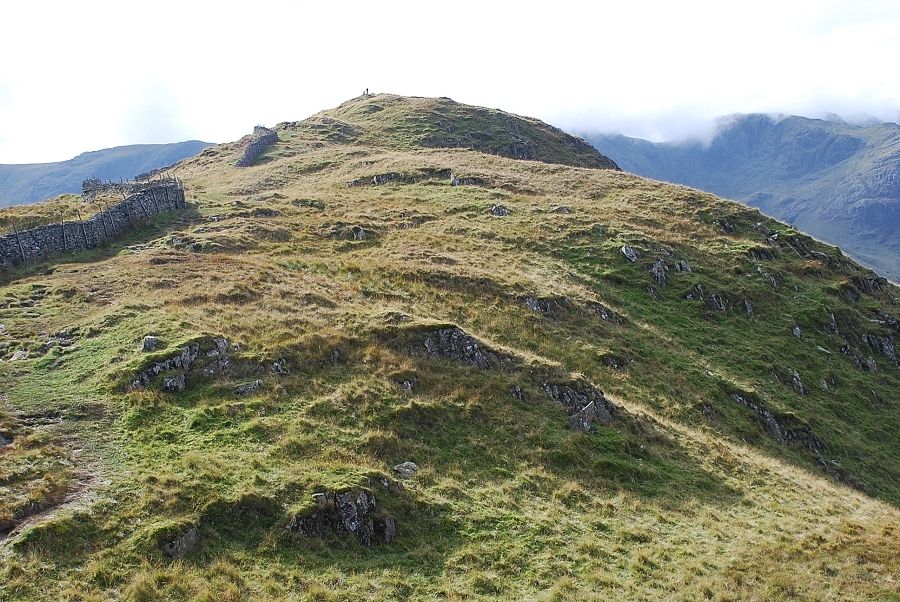
| Approaching the summit, the rocky outcrop in the centre of the photo |
 |
| St. Sunday Crag from the summit |
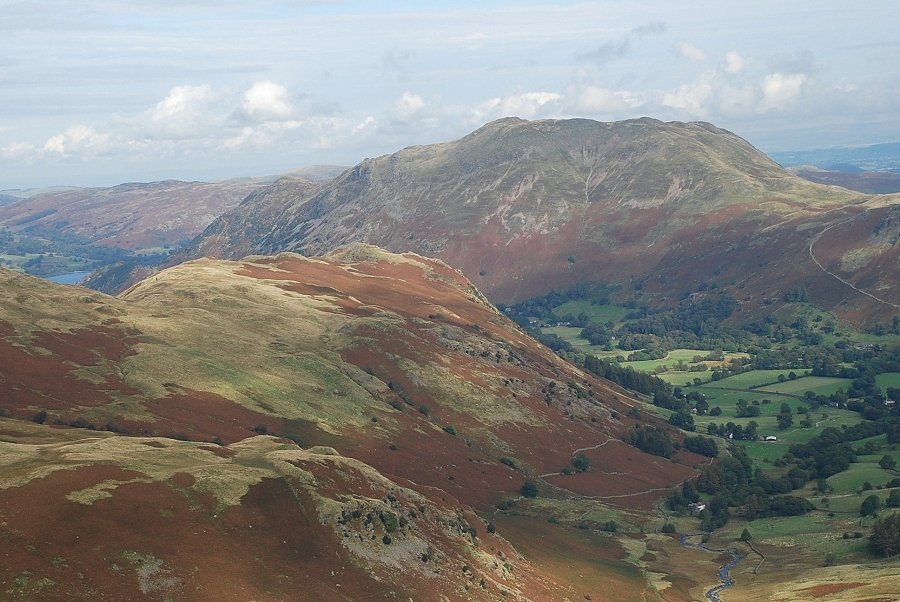 |
| Arnison Crag and Place Fell |
 |
| Angletarn Pikes |
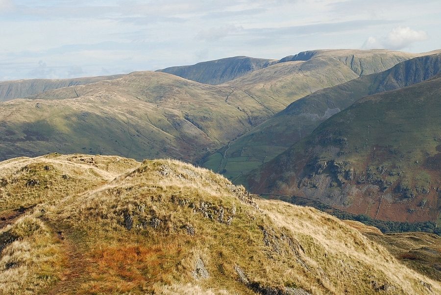 |
| Rest Dodd, High Raise and Rampsgill Head on the horizon |
 |
| Caudale Moor |
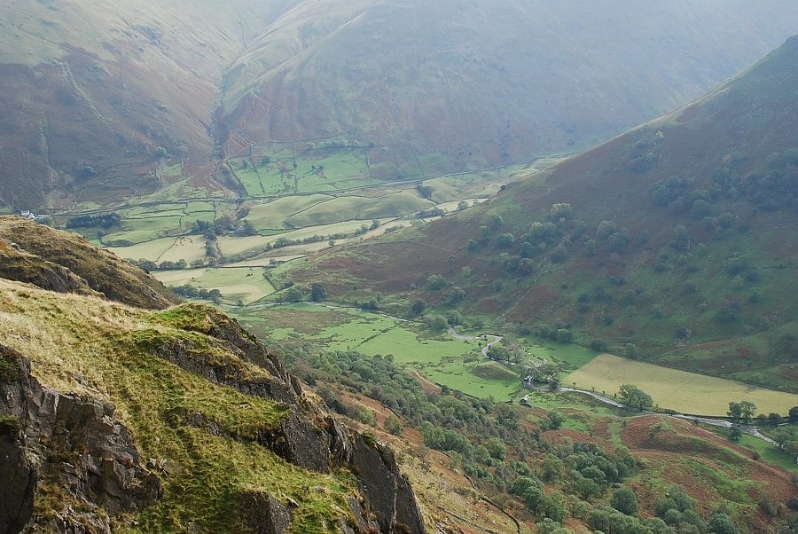 |
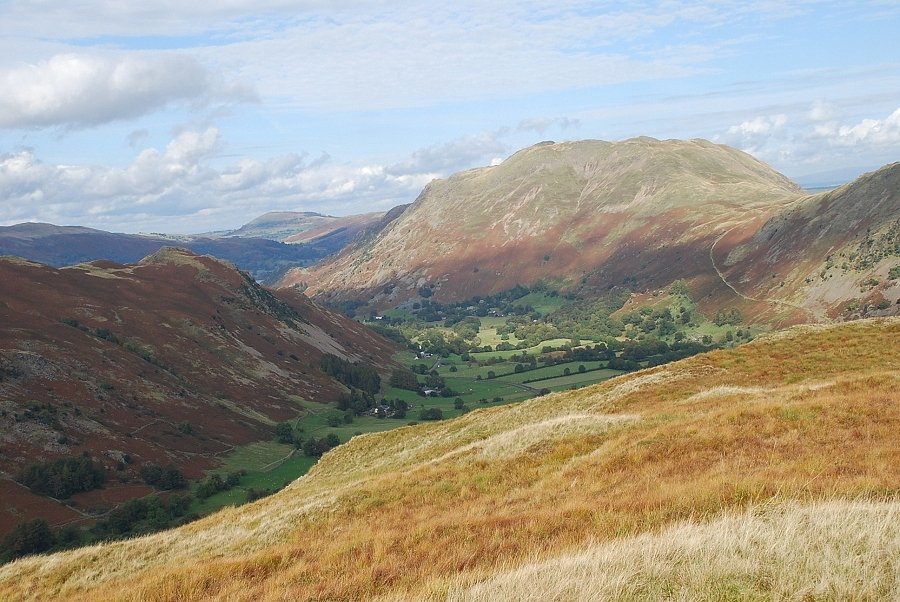
| Looking down on the lower part of Dovedale |
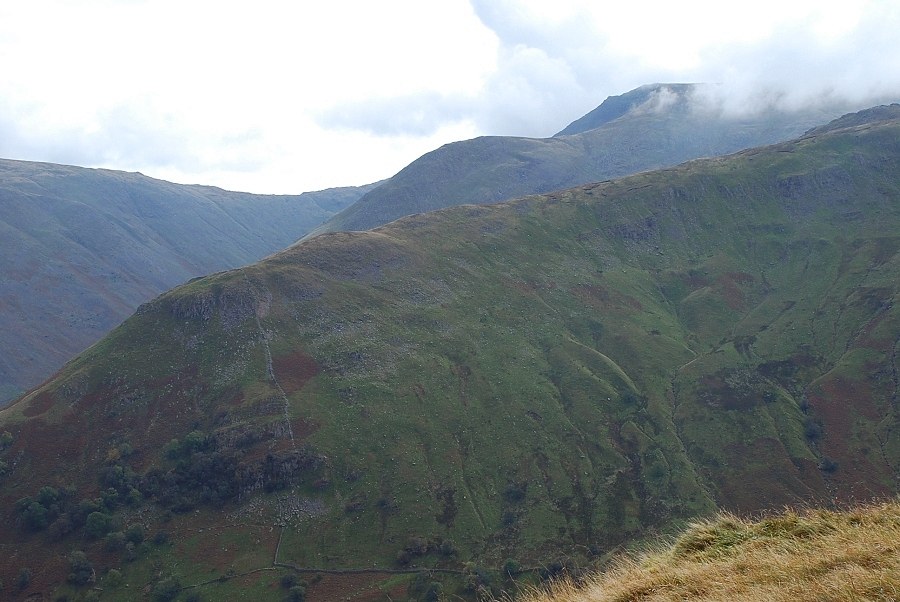 |
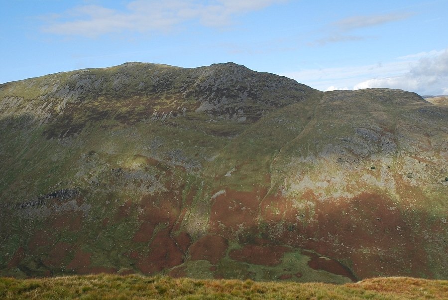
| Over High Hartsop Dodd to Middle Dodd and a cloud capped Red Screes |
 |
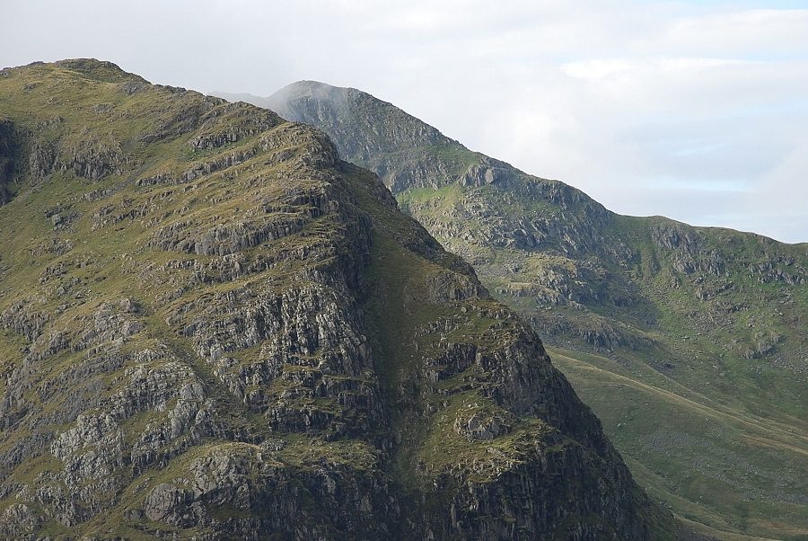
| Dove Crag |
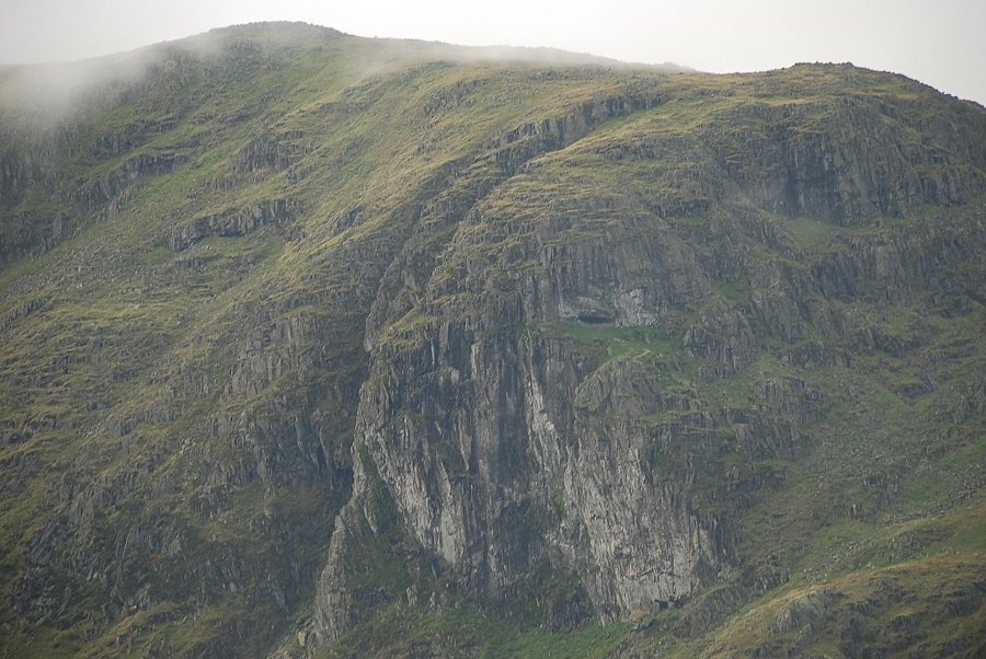 |
| A closer look at Dove Crag and the Priest's Cave |
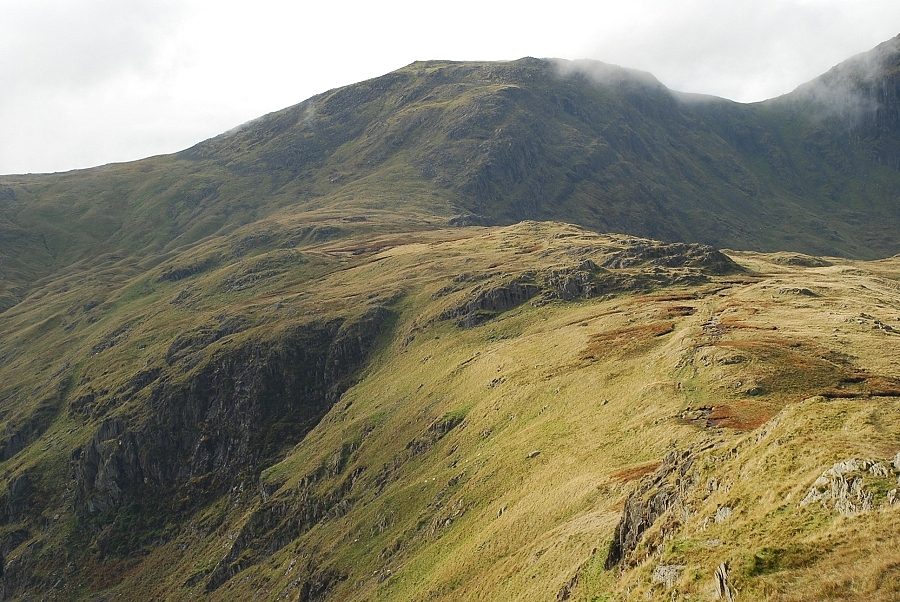 |
| Hart Crag at the end of the connecting ridge from Hartsop above How across Blake How |
 |
| Cloud sweeps over Scrubby Crag and the summit of Fairfield |
 |
| A closer view of Greenhow End and Cofa Pike on Fairfield |
 |
| Dollywaggon Pike appears over Deepdale Hause |
|